There was an impending heatwave for today’s walk but although it was warm there was a lot of cloud cover and even some rain at first. This made for hazy atmospheric views rather than good photos ( apologies in advance) but we were actually quite grateful to be spared the predicted highs as it was much more comfortable for walking
…And, it did get sunny later, just in time to reward us with some spectacular views back over most of the day’s walk.
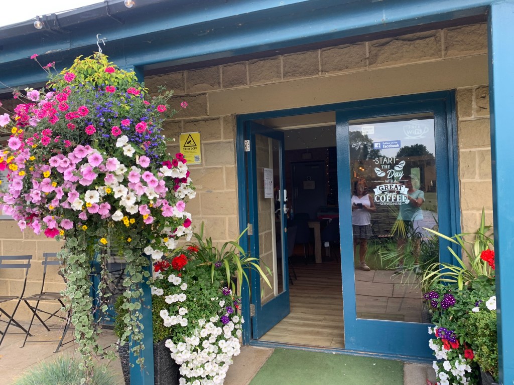
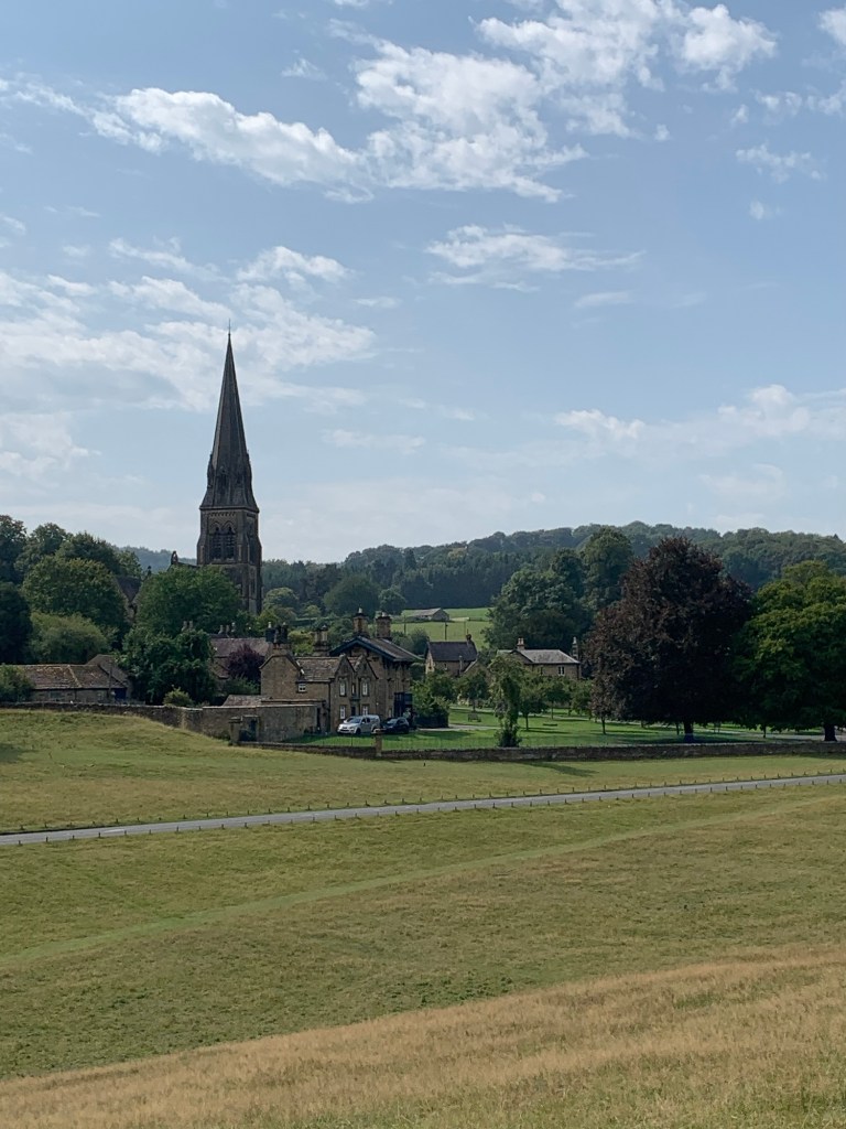
Fox House has been a pub for around 250 years and although it’s had numerous face lifts even in my memory, I think it still retains that slightly dour appearance, both inside and out, of an old coaching inn and an atmosphere of history. A building with many tales to tell.
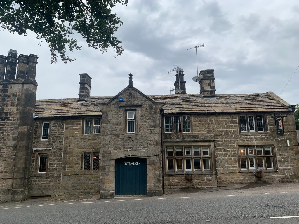
Despite the inn sign, the name is nothing to do with a fox but is the surname of a local farm family with a history that also stretches back for generations. For more fascinating information on this family and snippets of local history of the area visit
https://tishfarrell.com/tag/callow/
So, back to the walk:
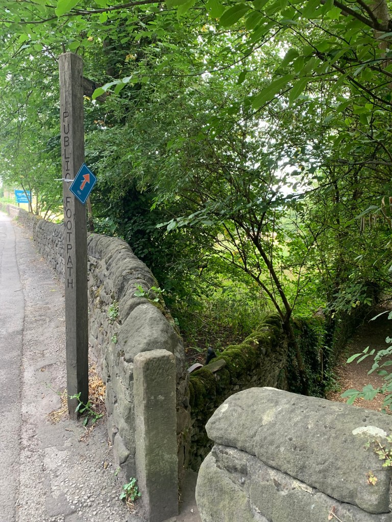
Go straight ahead from the bus stop, crossing the road whilst checking the famously tricky bend where the pub stands and take the footpath slightly to your right where the wall is often broken down….whether from poor footings or results of poor driving around the bend, I’m never quite sure.
At the end of the downhill path turn left along the ( traffic free) road to Longshaw Lodge, once a shooting lodge for the Duke of Rutland but now owned by the National Trust and with a post -covid much revamped cafe with great views.
Refreshments, toilets and water stop are all available here if you’re already in need of them.
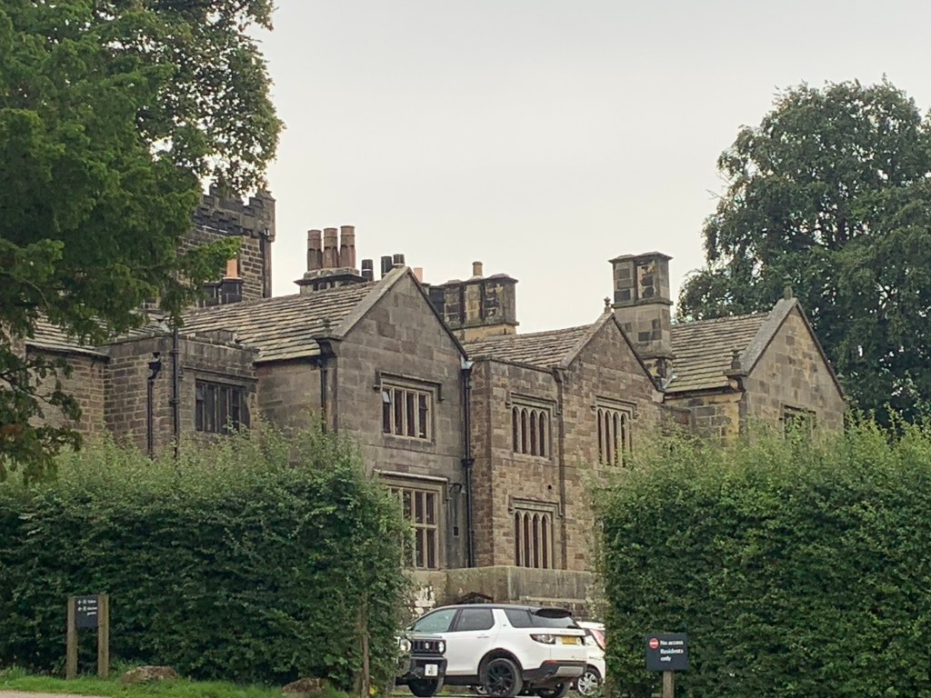
The path we take is the one that skirts below the lodge, passing the information board with an old photo of when the building was used as a convalescent hospital for soldiers during the First World War.
Go through the gate and straight ahead through the next gate where you will join one of the many pleasant paths through Longshaw Estate.
Just keep straight on all the way through the park.
At the far end, on reaching the road, turn right and then shortly afterwards take the footpath on the right signposted to Jubilee Woods.
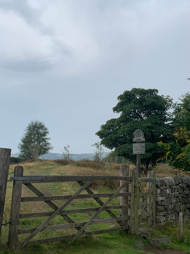
Bear left to where another sign by a gate takes you onto a pleasant path which follows the field boundary wall.
Turn left as the wall turns left and keep straight ahead through the top part of Haywood.
We are on a detour dodging the road here but in doing so also dodging the Grouse Inn which unfortunately isn’t yet open today but is well worth a visit if you happen to time your walk differently.
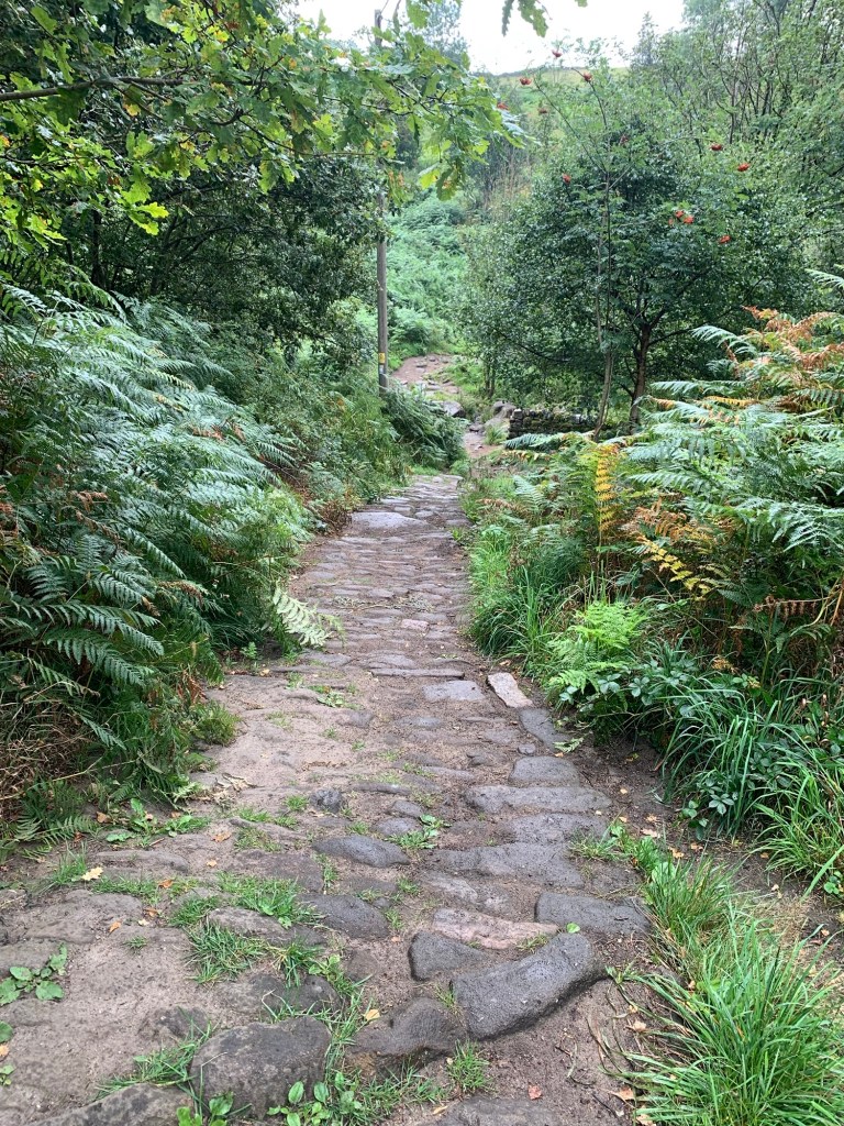
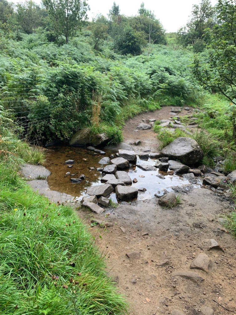
You’ll be able to spot Haywood car park on the left through the trees but continuing directly on you’ll soon descend steeply on cobbles to ford the stream.
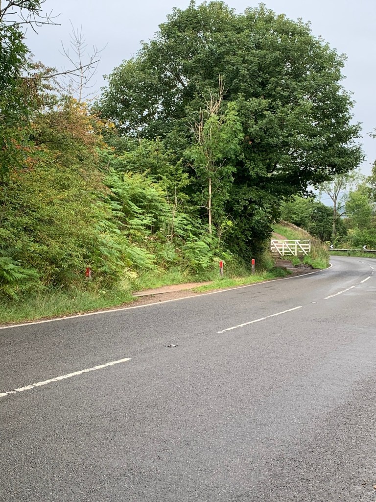
Afterwards climb steeply up and, on joining the road turn right briefly and cross to the white gate.
The white gate leads to the path through pretty silver birch woods and then onward above Froggatt Edge with wonderful views ( given the weather) across the Derwent Valley and further afield.
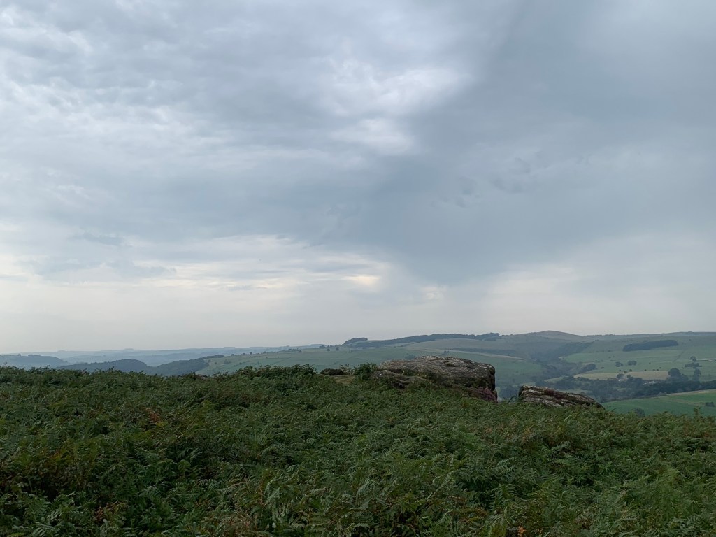
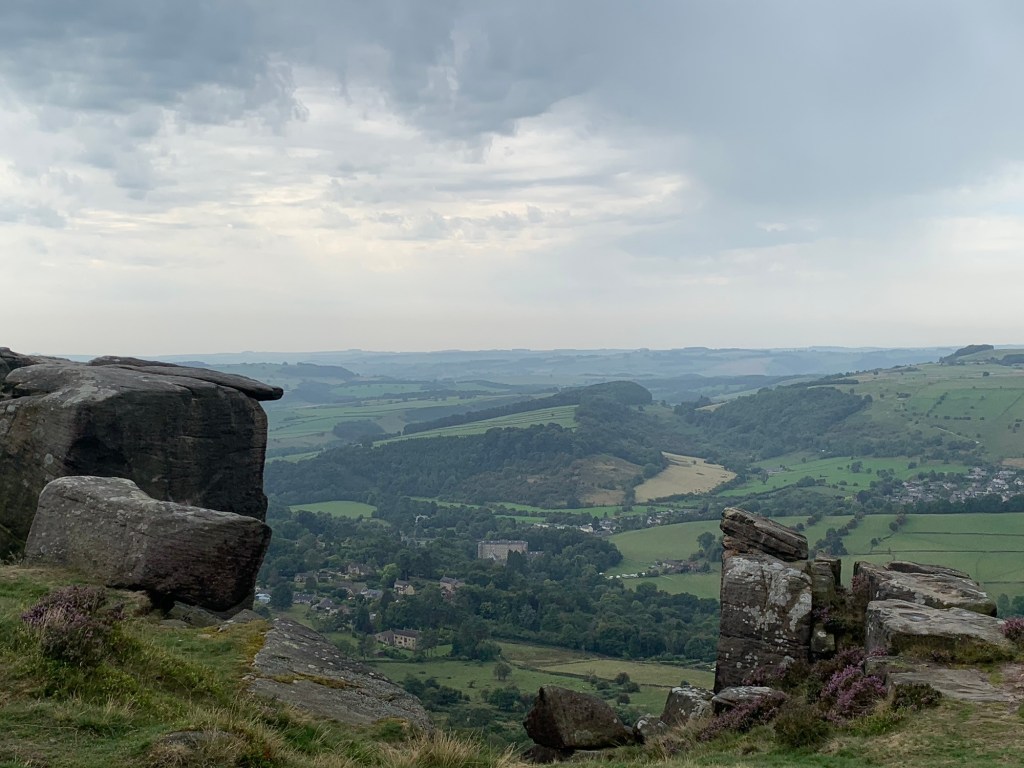
Froggatt is still very much a climbing Mecca, as are all the gritstone edges of the Peak District. Although short in length these climbs require a variety of skills and techniques and their importance in climbing history remains as unchallenged as does their relevance today.
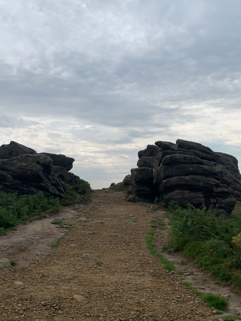
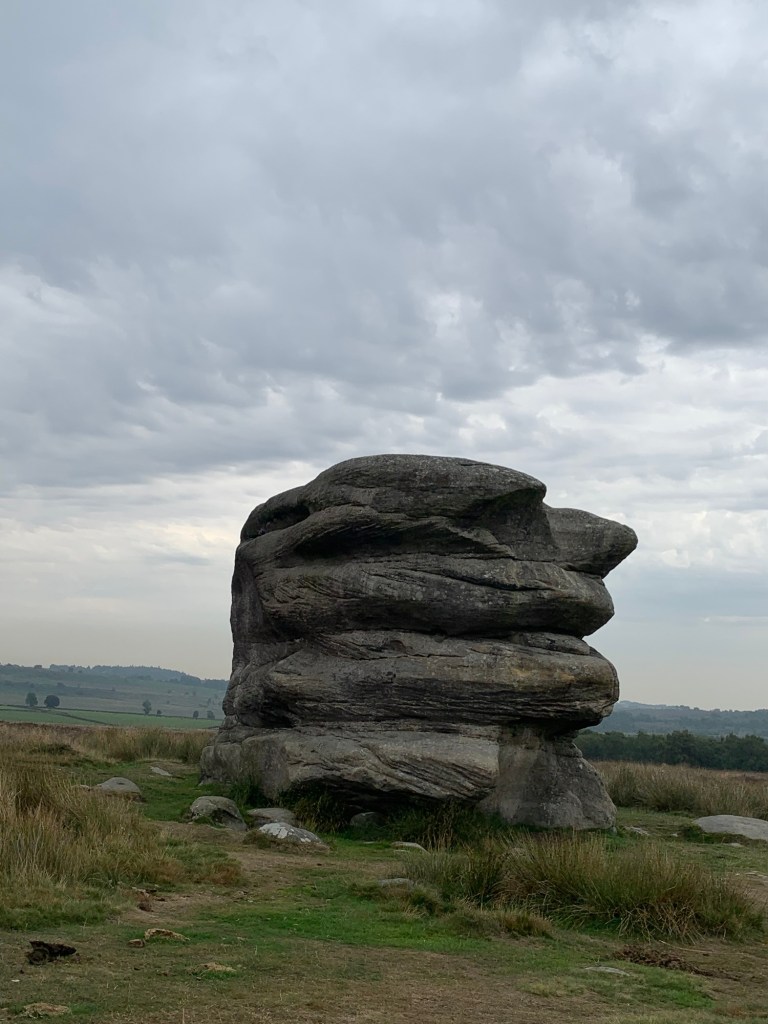
After Froggatt comes Curbar Edge and then we cross the road at Curbar Gap. If you’re doing this walk at a weekend you might treat yourself to a drink and a bun at the Coffee Truck on the car park but, either way, it’s not far now along the top of Baslow Edge, past the weirdly shaped Eagle Stone
and then, pausing to see if we can spot the fountain in Chatsworth’s gardens, we head steep downhill towards Baslow.
Follow downhill as the path becomes a lane and then a road turning left by the bench on the green triangle onto Eaton Hill . Look out for a footpath sign on your right which takes you through the houses and onto the main road.
Cross the main road and turn right, where we head straight for the Pavilion Cafe by the cricket field; great refreshments at a sensible price and one of our favourite cafes.
After leaving the cafe turn back right briefly retracing your steps and then take the footpath on your right down some steps from the road.
Cross over an attractive little bridge and on joining the main track into Chatsworth turn right. Having passed through the curious gate
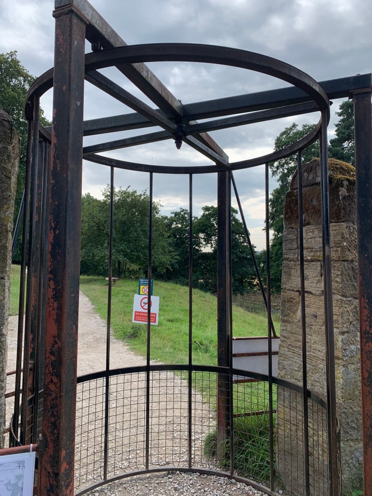
and past the information boards, Chatsworth House looms into view on the left and then Queen Mary’s Bower, the walled and moated garden where Mary Queen of Scots got her exercise whilst under house arrest at Chatsworth during the 1570s.
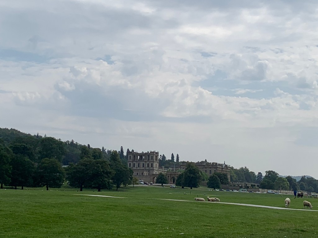
Cross over the Derwent on the attractive three arched Paine’s Bridge and then bear right along the gently climbing path towards Edensor. The views of the house looking back from here are magnificent and you might be lucky enough to see the deer.
Continue over the brow of the hill and down and cross the road to enter the estate village of Edensor ( via another interesting gate) Enjoy the beautiful gardens and quaint buildings of the village as you walk through, keeping the rather grand church on your left hand side.
At the end of the village I’m always reminded of the Yorkshire Dales by the row of barns over to the left.
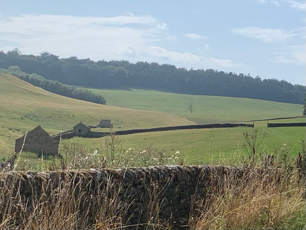
But sadly, no distractions such as looking at barns can divert me for long as it’s now time for one of my least favourite uphill climbs, up, up and up until the junction with the Pilsley/Ball Cross Road.
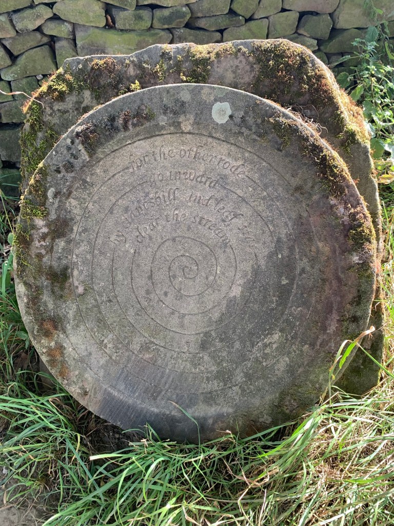
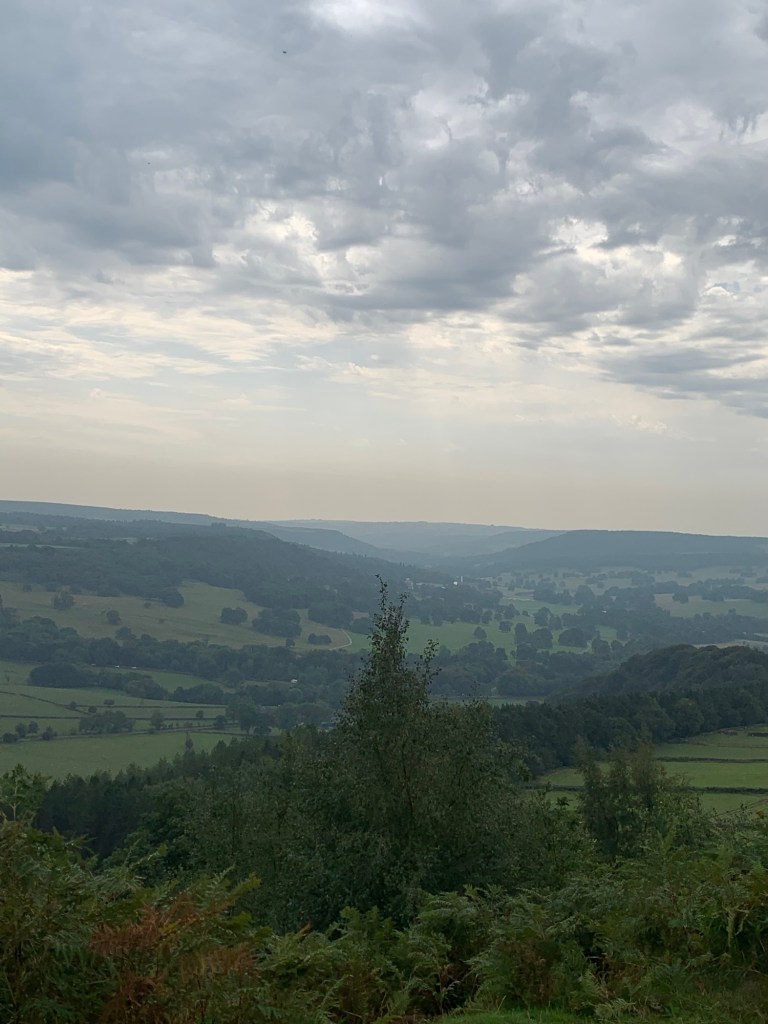
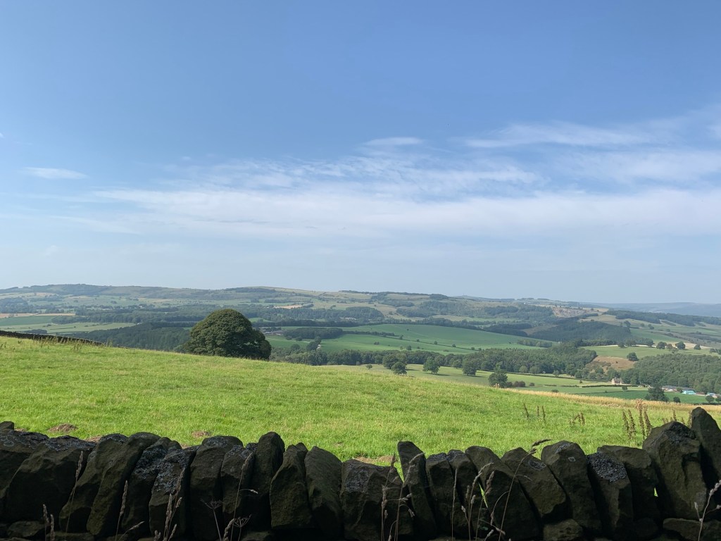
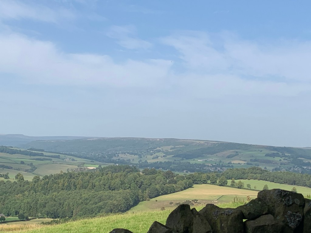
At the top of the track check out the strange poetry stone but don’t linger too long to puzzle over the deeper meaning as taking a left along the road, (uphill again) we are soon to be rewarded with a spectacular view which is one of my all time favourite views of the Peak District.
This is what makes the hills worthwhile.
Ahead we can see over to the village of Great Longstone with its Edge and Moor whilst over to the right we can see the Edges of Baslow, Curbar and Froggatt stretching away into the distance and most of the day’s walk is splendidly laid out for us to see.
Keep on the lane over Ball Cross; there’s a path directly down through the trees but I prefer the zig zag of the road which is usually pretty much free of cars.
As we lose height we pass the golf club and then the old station where the road crosses over the Monsal Trail, and a few minutes later we’re crossing the famous bridge over the Wye into bustling Bakewell.
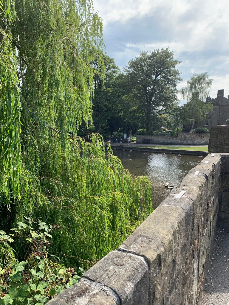
On the opposite side of the bridge is
The Castle pub which has a well placed bay window overlooking the bridge. Now, it is possible to sit in the window seat with your drink, spot the bus coming in over the bridge and still be able to leg it to the bus stop in time to catch your bus home…(apart from the buses that leave at school turning-out time as they start from the other side of the town at Lady Manners School.)
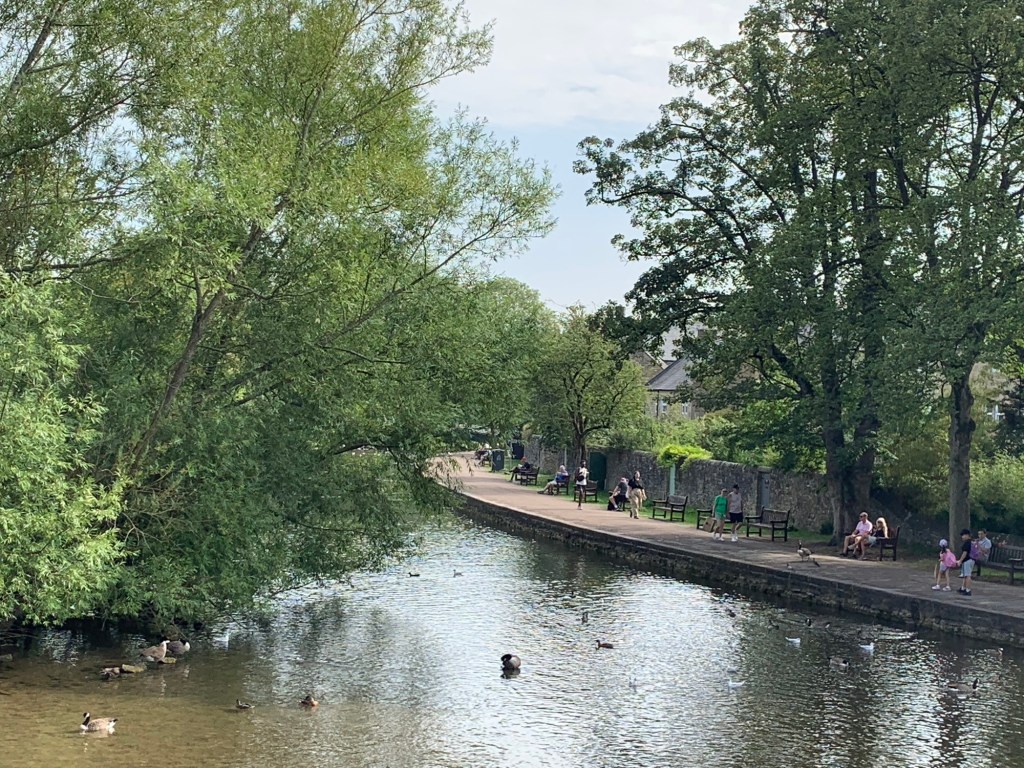
It has been done, but maybe it’s more relaxing if you have the weather to chill on a bench in the pretty Bath Gardens?
Or, of course you might want extra time in Bakewell anyway to feed the ducks or buy a pudding, or, you might just time your walk perfectly to arrive at the bus stop at the same time as the bus. So many possibilities…..
Today’s walk has been a Peakland classic but however popular the route and however often we do this walk there’s always so much to see and appreciate. And it’s very easy to navigate as well. Thoroughly recommended to all.
See you next week for C.
footpathapp.com/routes/0C3D78A0-7019-4945-B9E2-4AB8B39968B5
TRANSPORT
Bus 272 or 65 to Fox House
Return from Bakewell 218 or 257
PUBS/CAFES
Fox House
Longshaw Cafe
The Grouse Inn
Jolly’s coffee van Curbar Gap
The Pavillion Cafe Baslow
Edensor Tea Cottage
Bakewell numerous options but see note re The Castle Pub below *
HOW FAR?
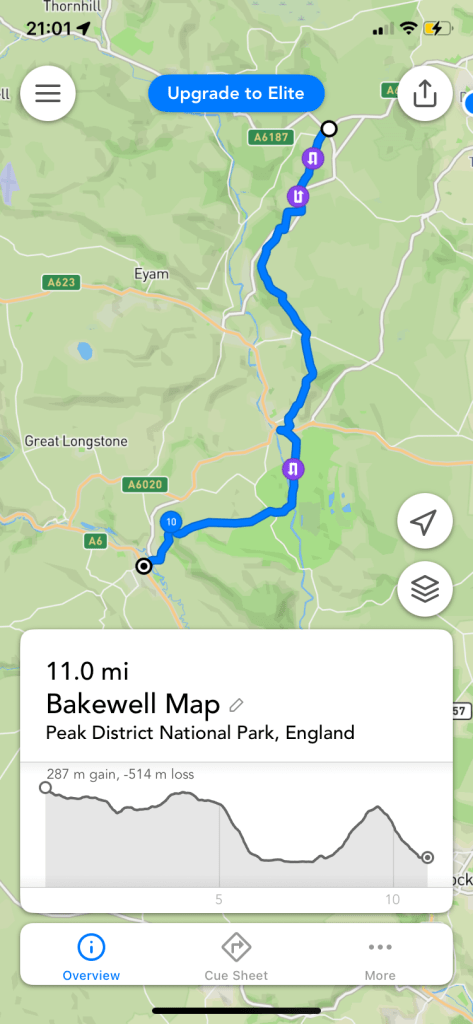
Approximate distance 20k
ROUTE SYNOPSIS
Fox House, Longshaw Estate, Jubilee Wood, Hay Wood, Froggatt Edge, Curbar Edge, Curbar Gap, Baslow Edge, Baslow, Chatsworth Park, Edensor, Ball Cross, Bakewell
MAP
OS White Peak
( apart from a tiny section from Fox House bus stop to Longshaw Cafe which is obvious without a map.)

Leave a comment