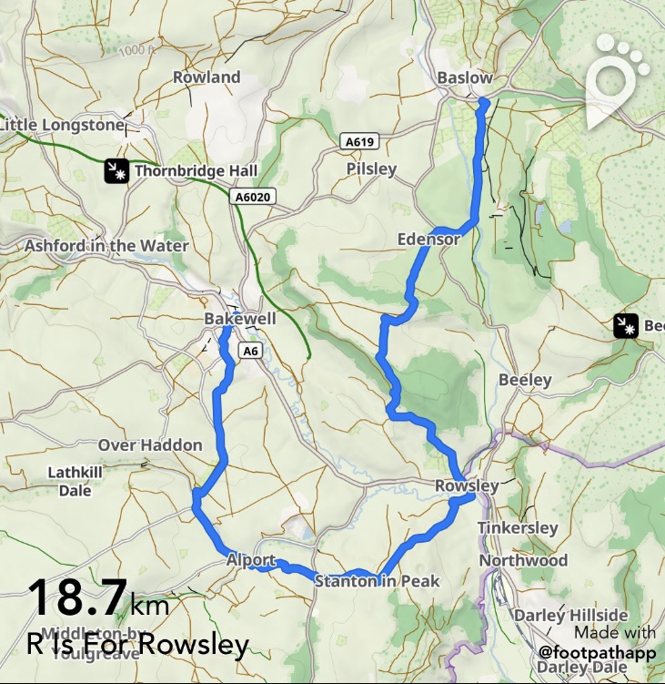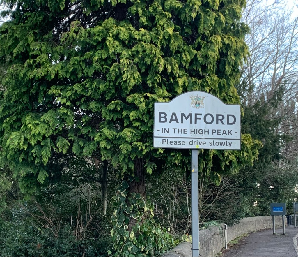
Today we took the Hope Valley train but of course the 272 bus is another option to take you to Bamford, or yet another choice is the 257.
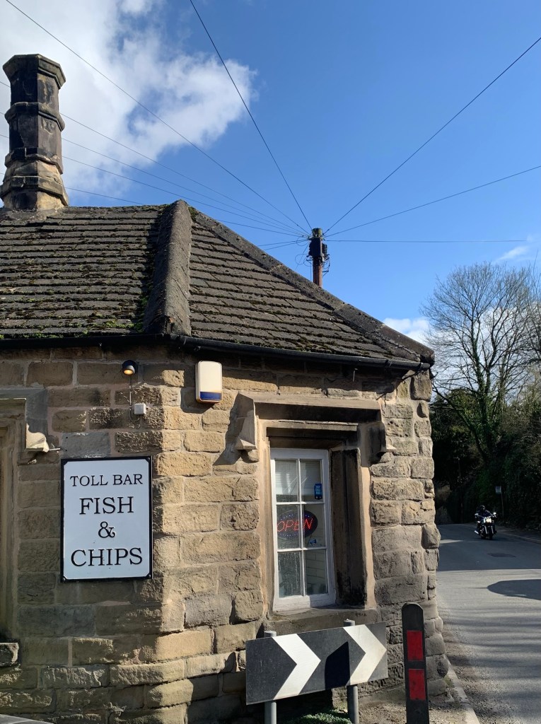
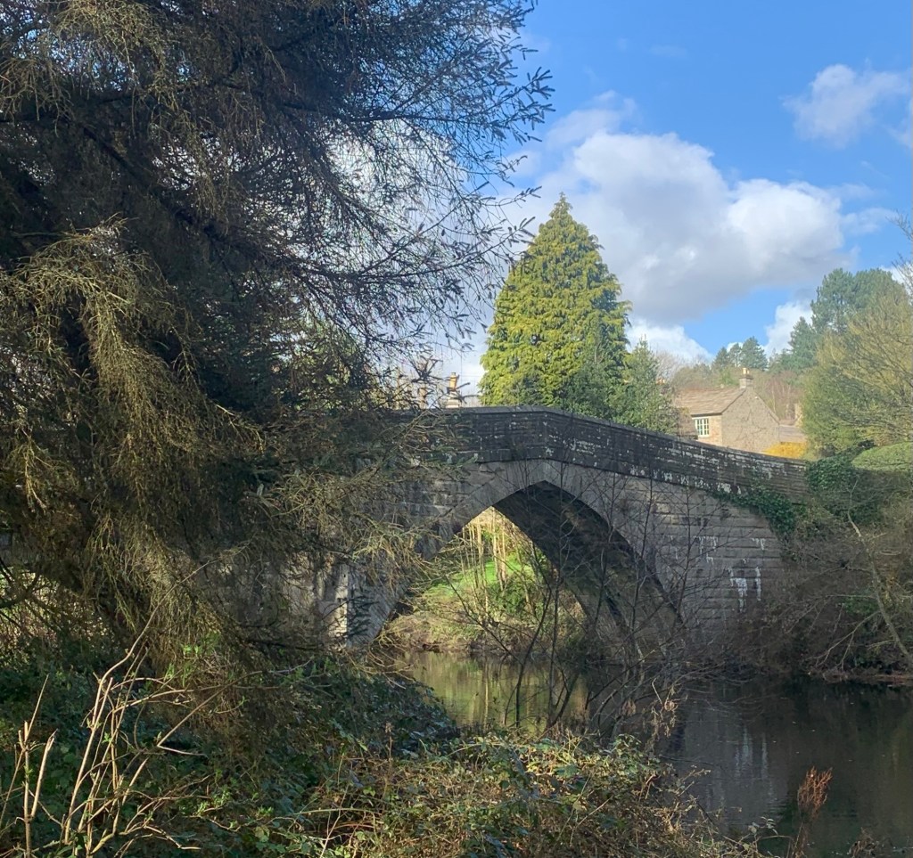
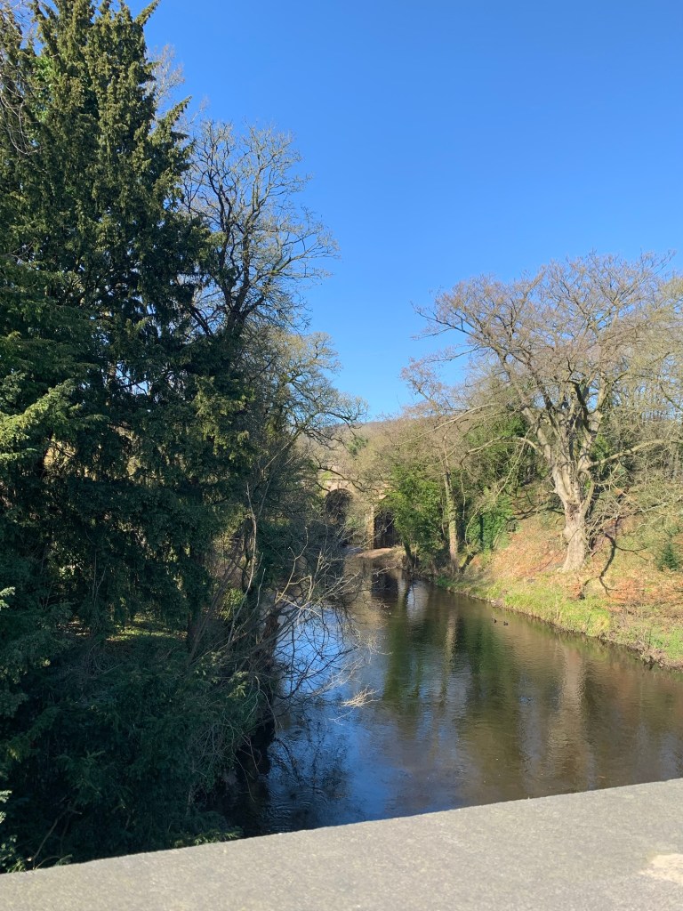
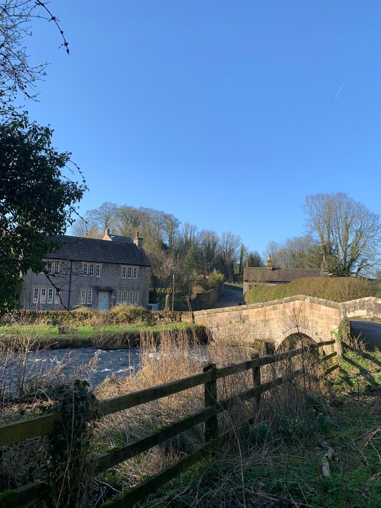
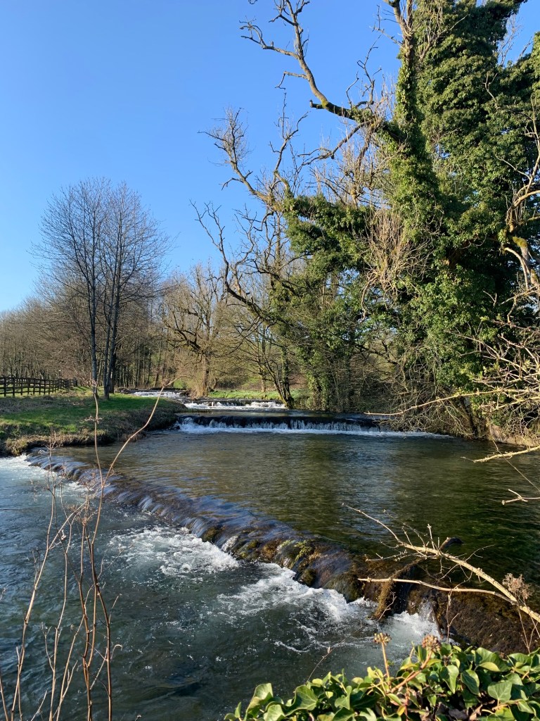
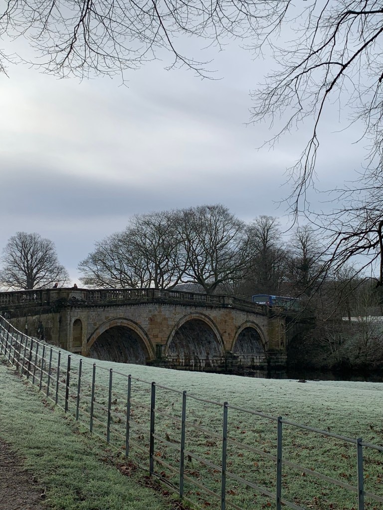
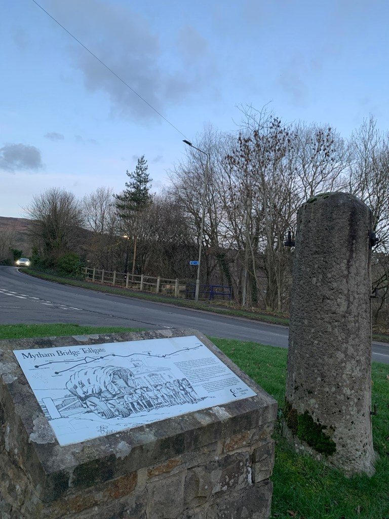
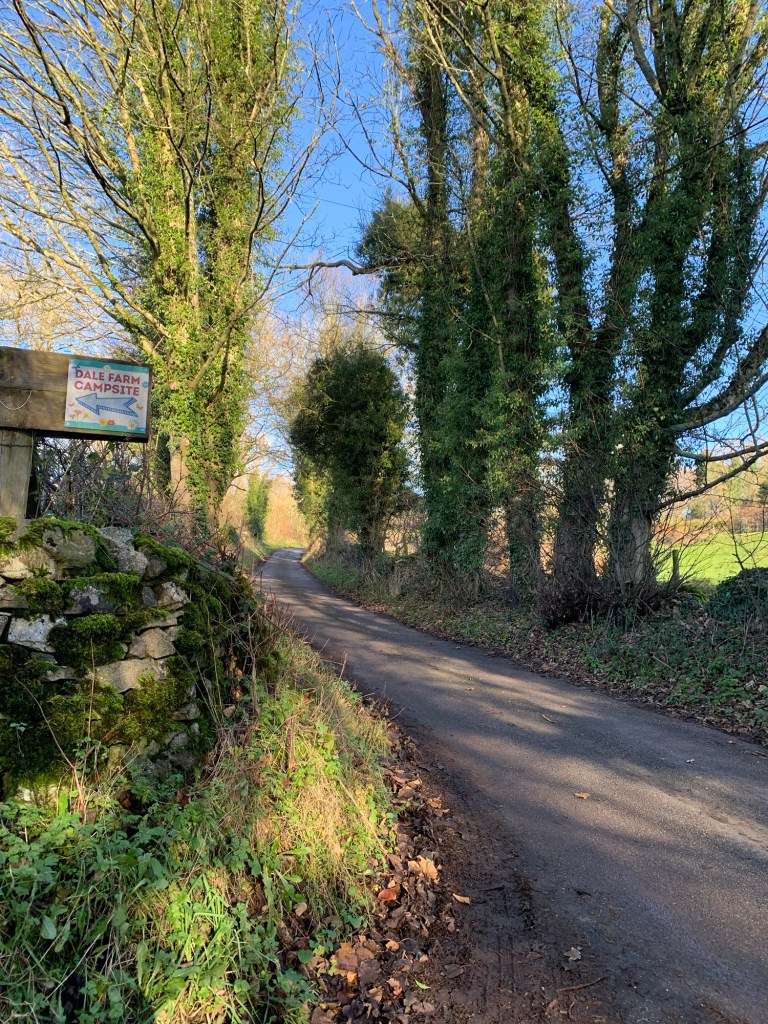
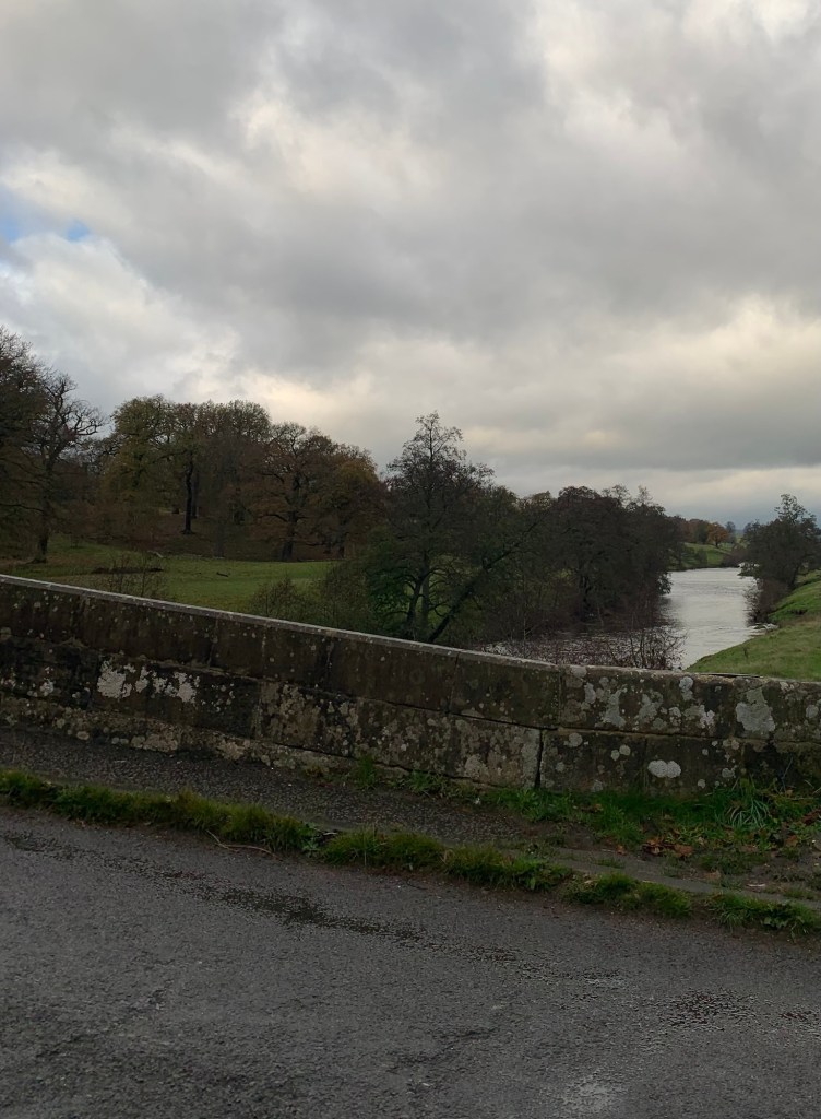
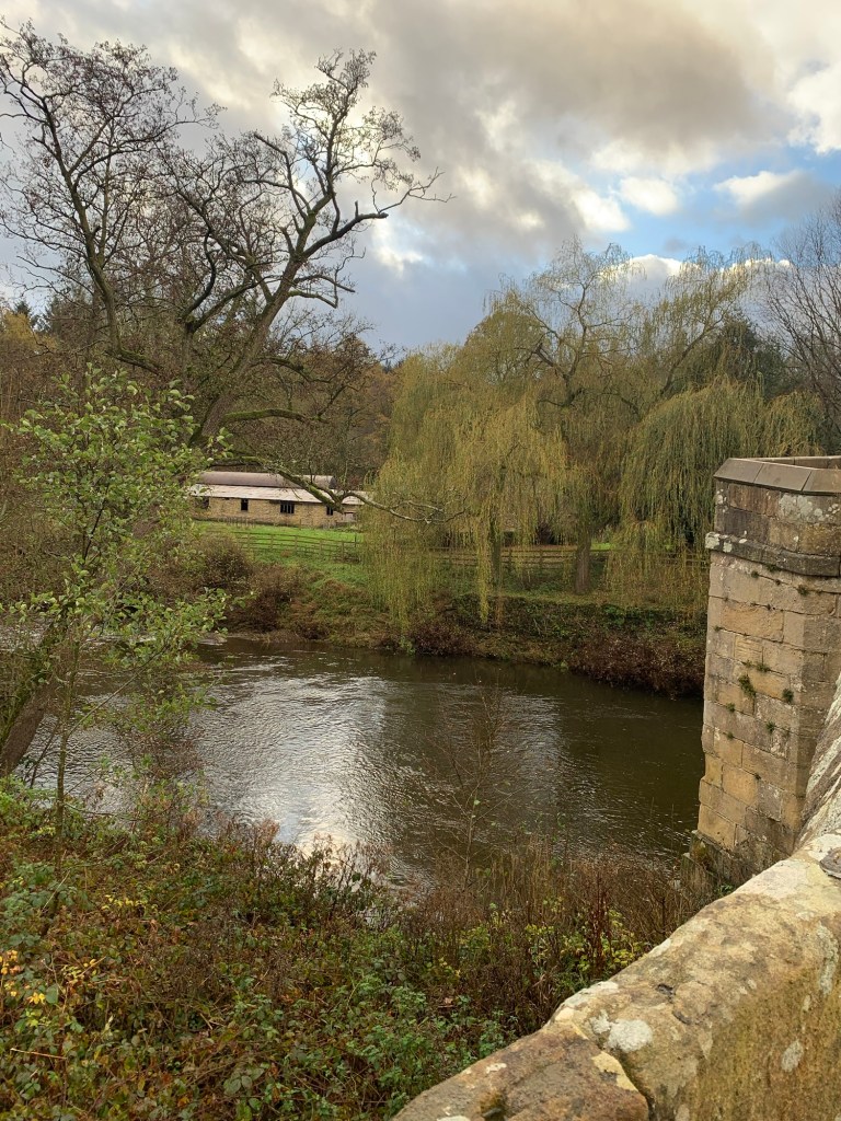
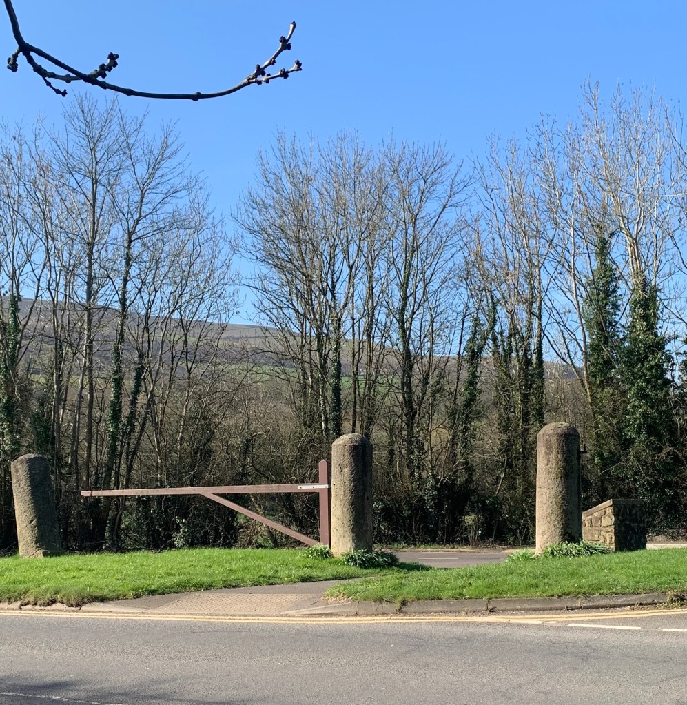
Across the road from the station we walk past the old toll-road gate at the Bamford bus turn around and cut through to the bridge over the Derwent.
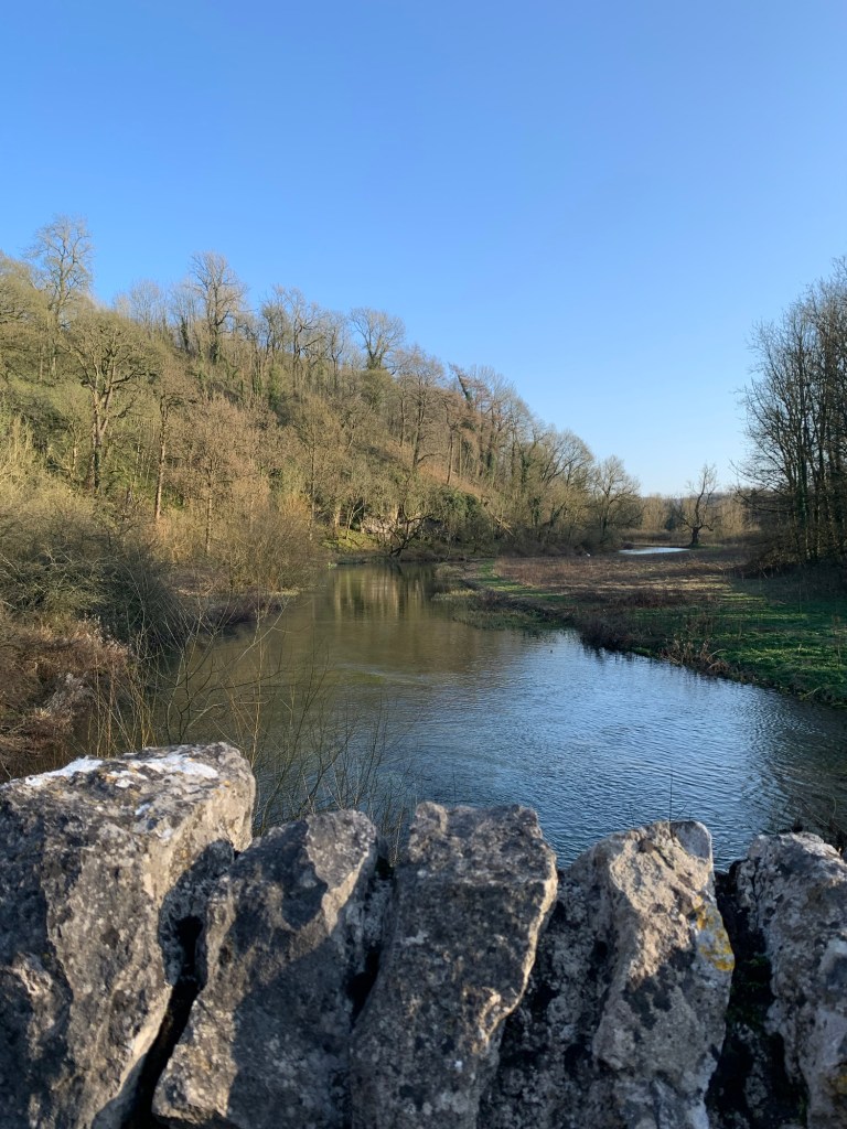
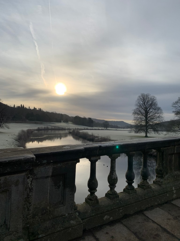
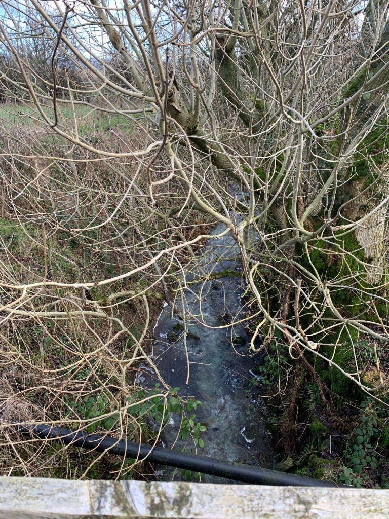
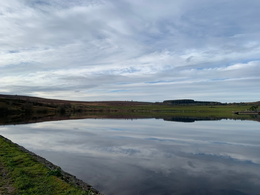
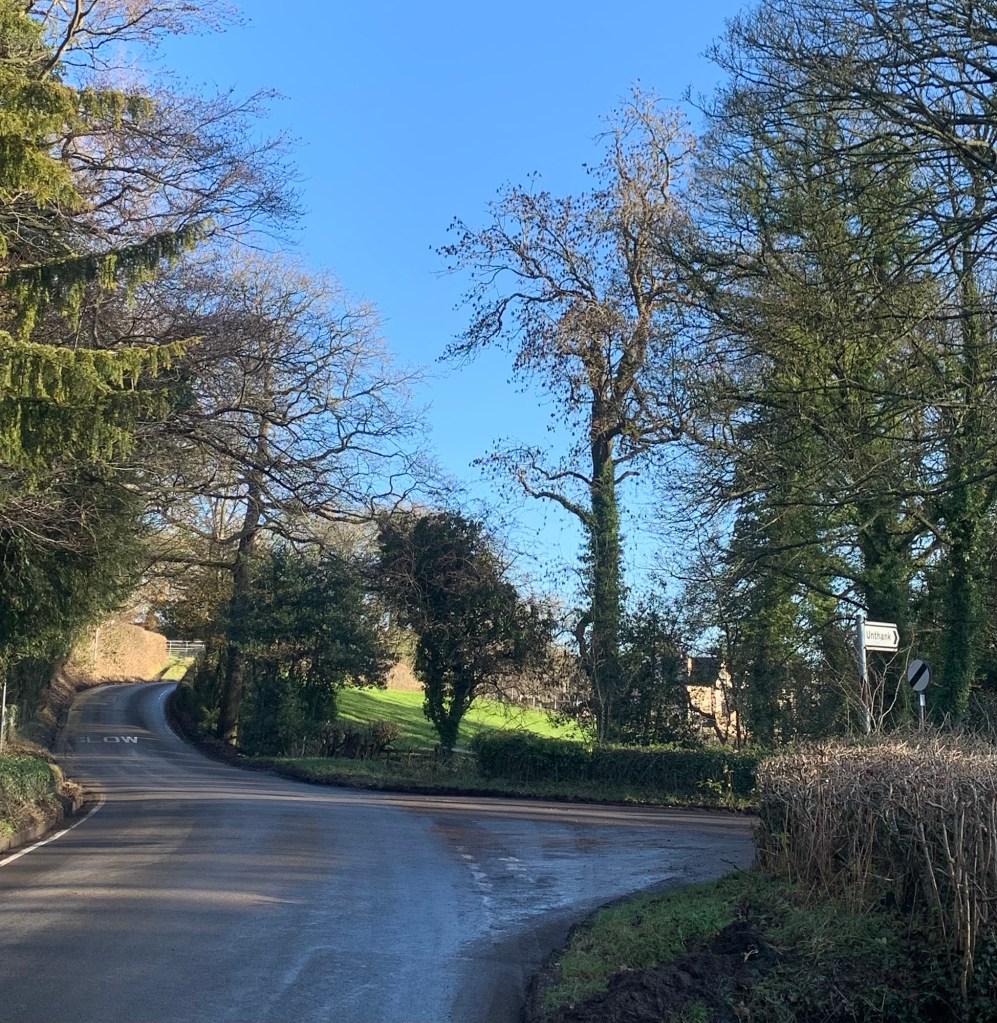
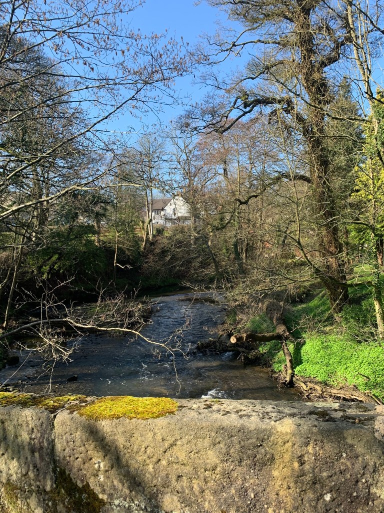
Just past the garden centre, we cross the main A6197 to take the lane through Shatton. We straight away cross over another river; this time it’s The Noe which has wound its way down from the Edale Valley and is about to end its journey as such. In a few hundred metres it’ll be consumed by the Derwent as it flows on down the Hope Valley.
Whilst we’re looking at the river we feel we’re being watched and it’s true….as we turn around we find a couple of turkeys have come to check us out.
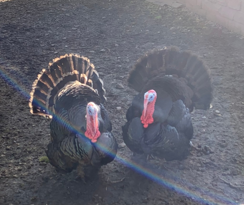
They seem curious by nature and certainly curious by appearance too; a characterful combination of ugliness and beauty. And, oh dear, now we’re adding a question mark to this year’s Christmas dinner menu ( and that’s in addition to no more Lamb Rogan Josh since the lambs we met on R for Rowsley )
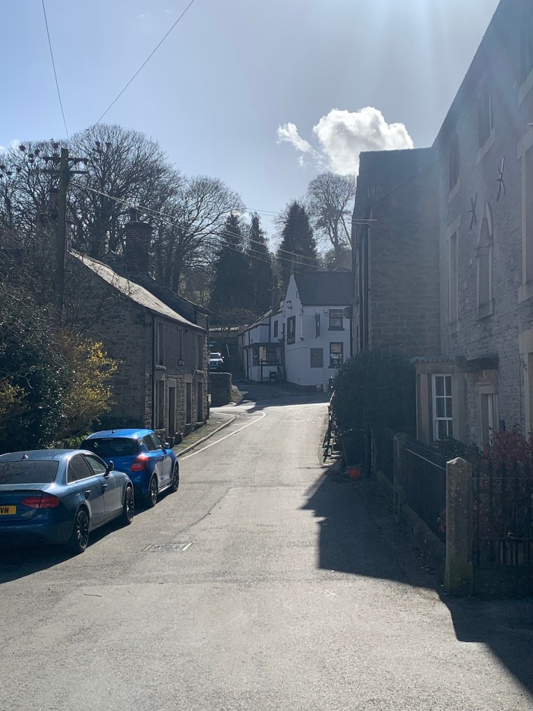
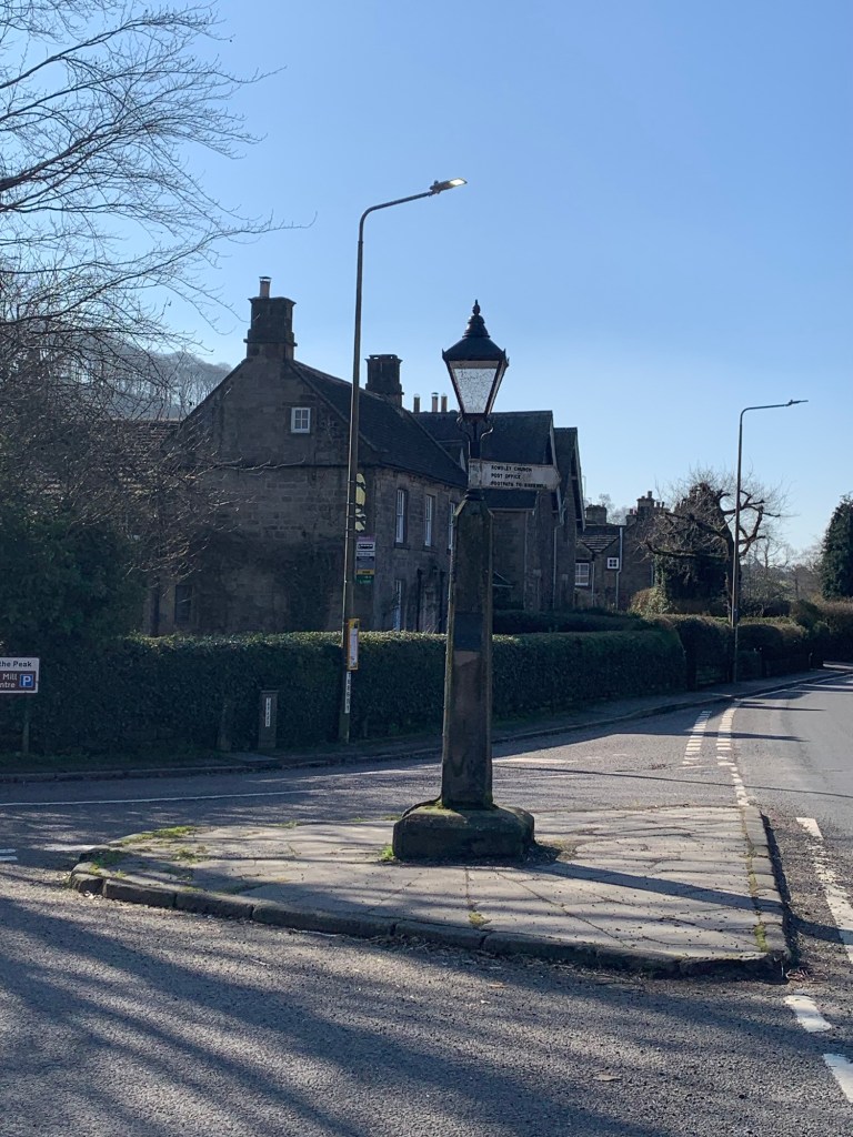
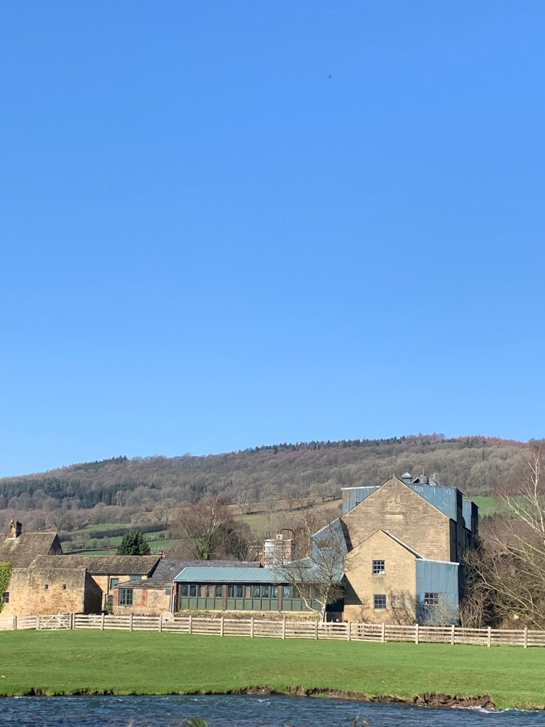
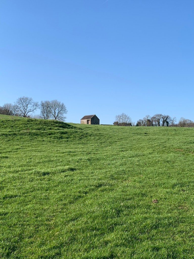
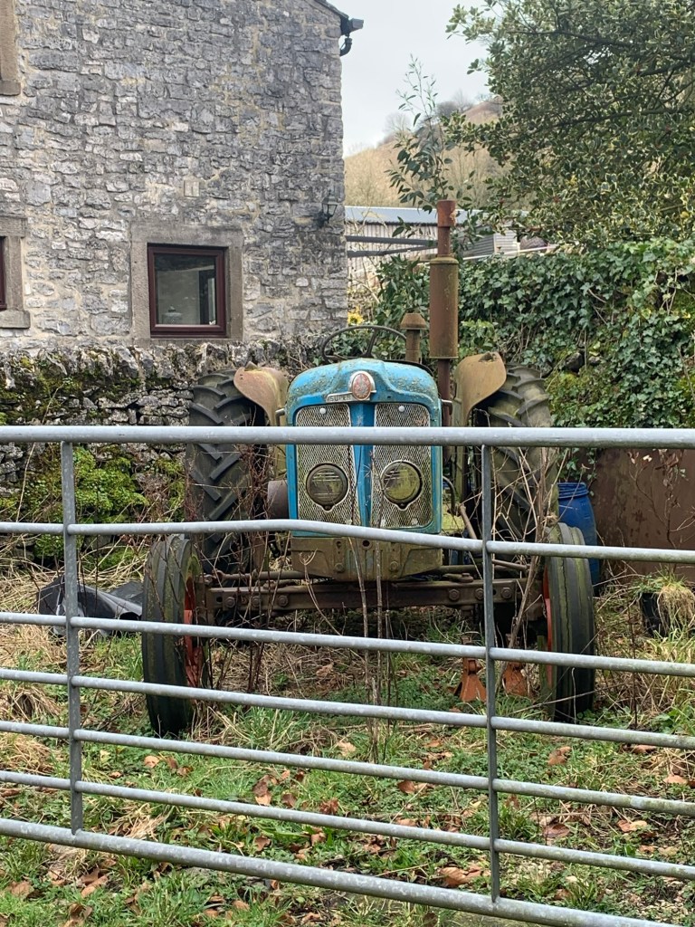
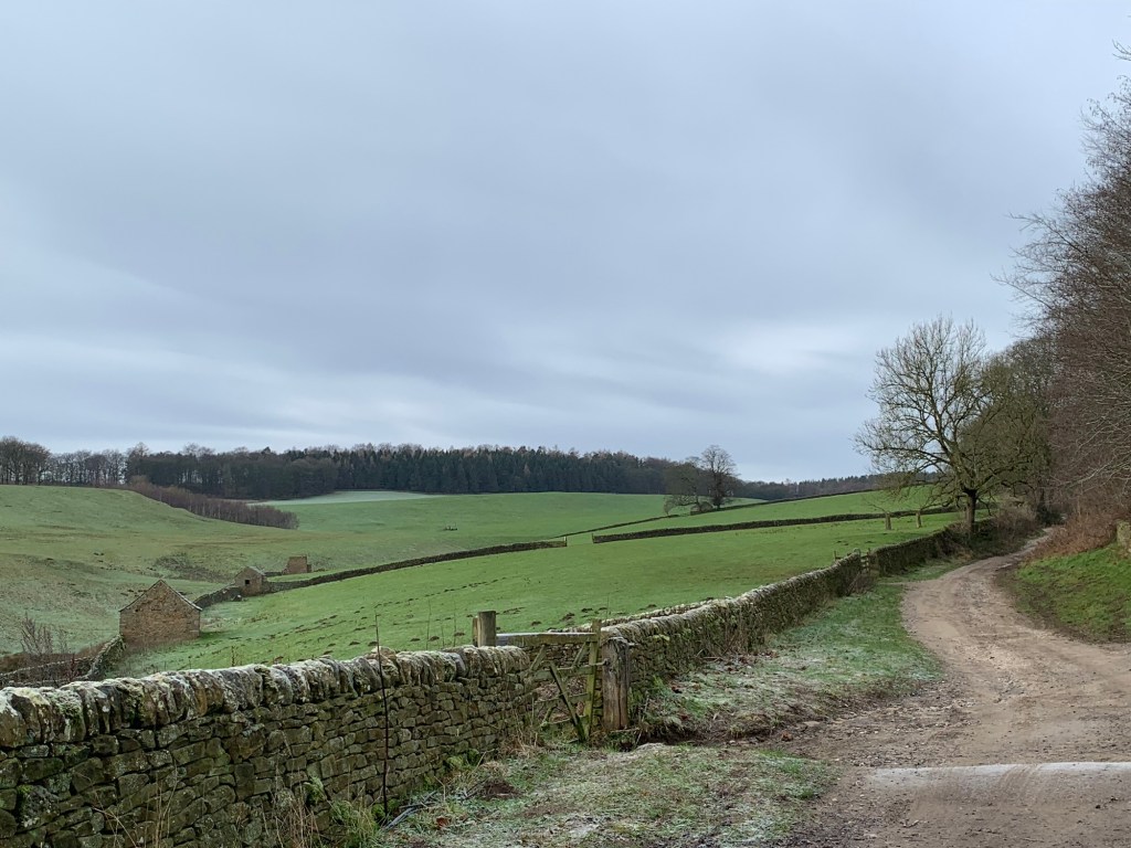
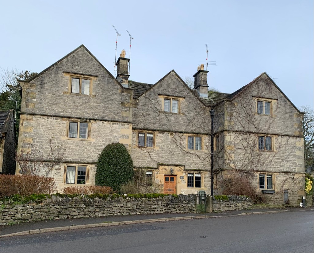
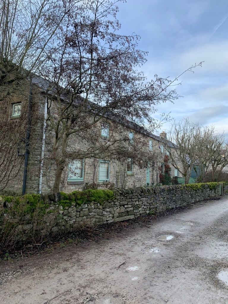
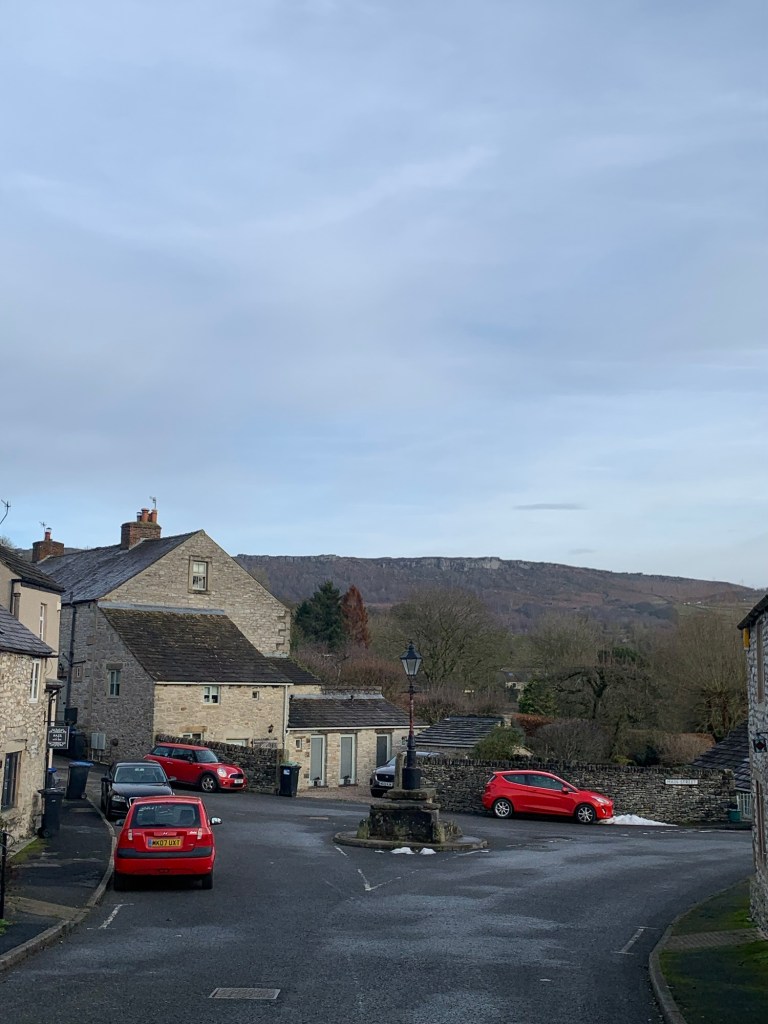
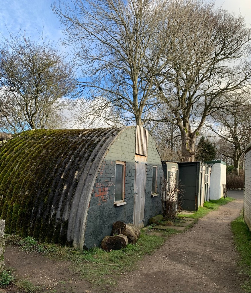
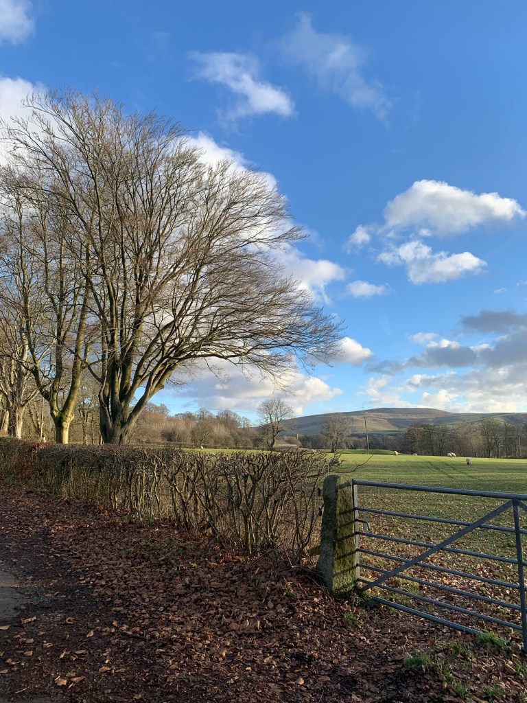
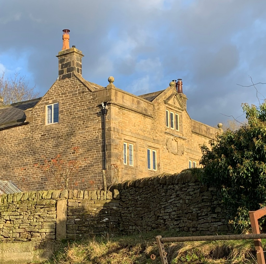
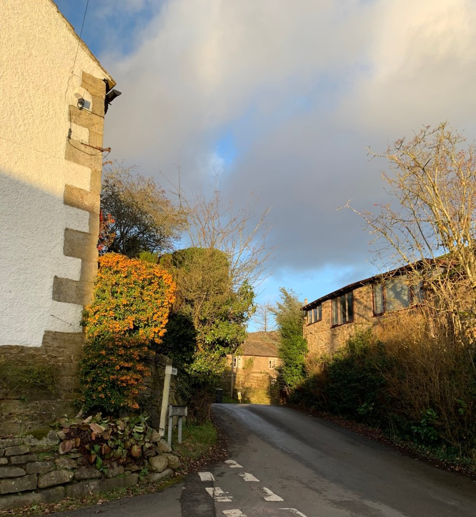
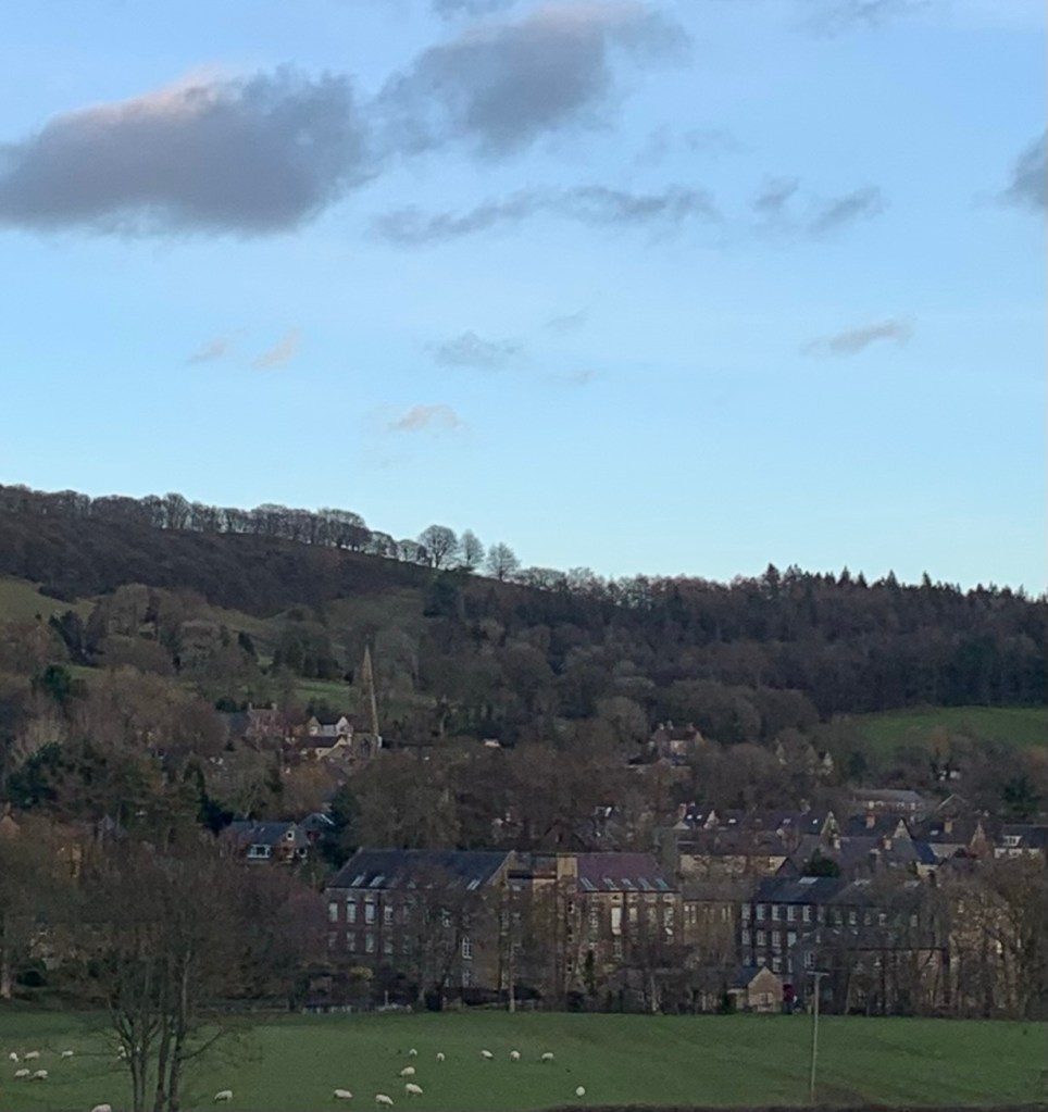
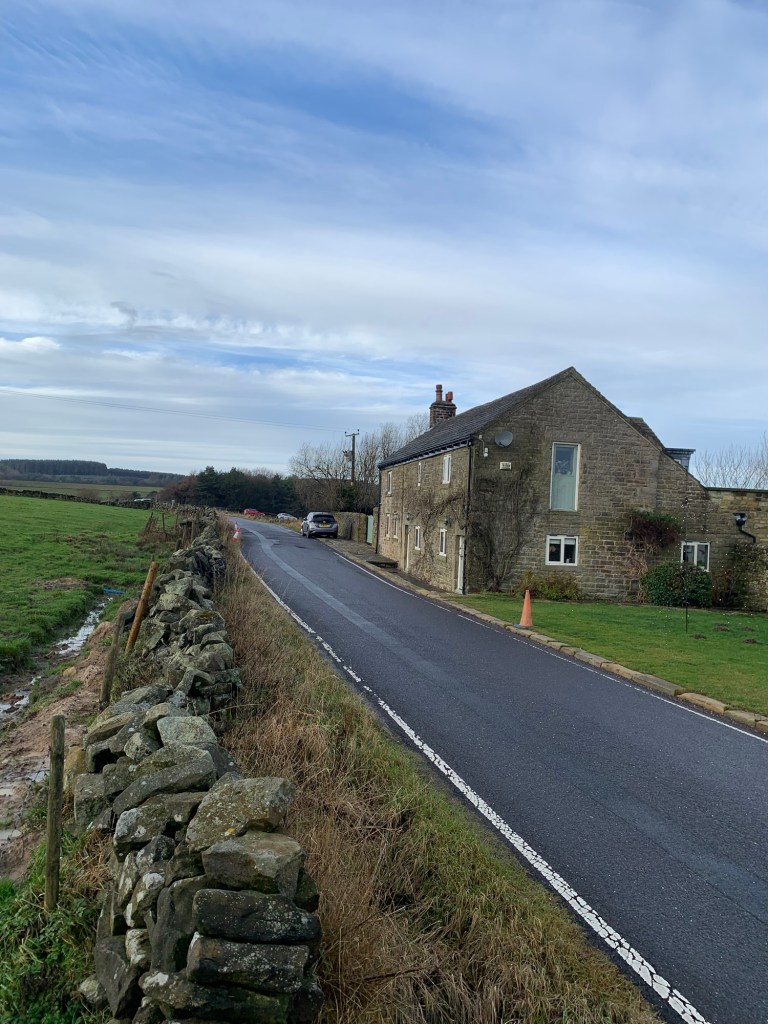
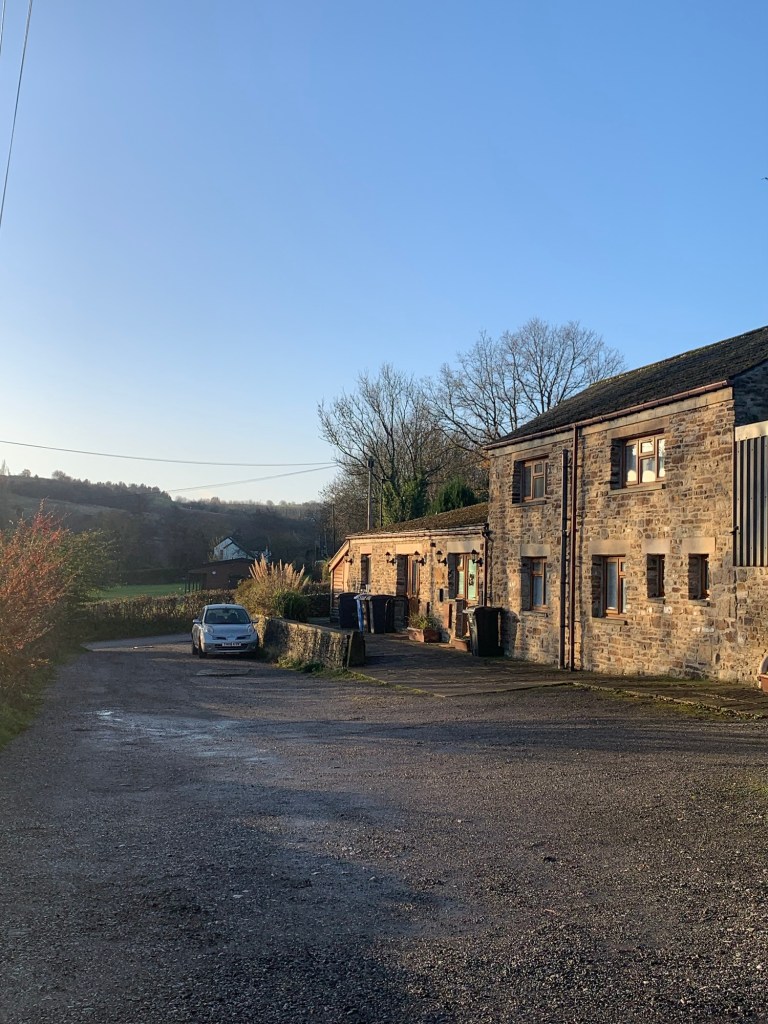
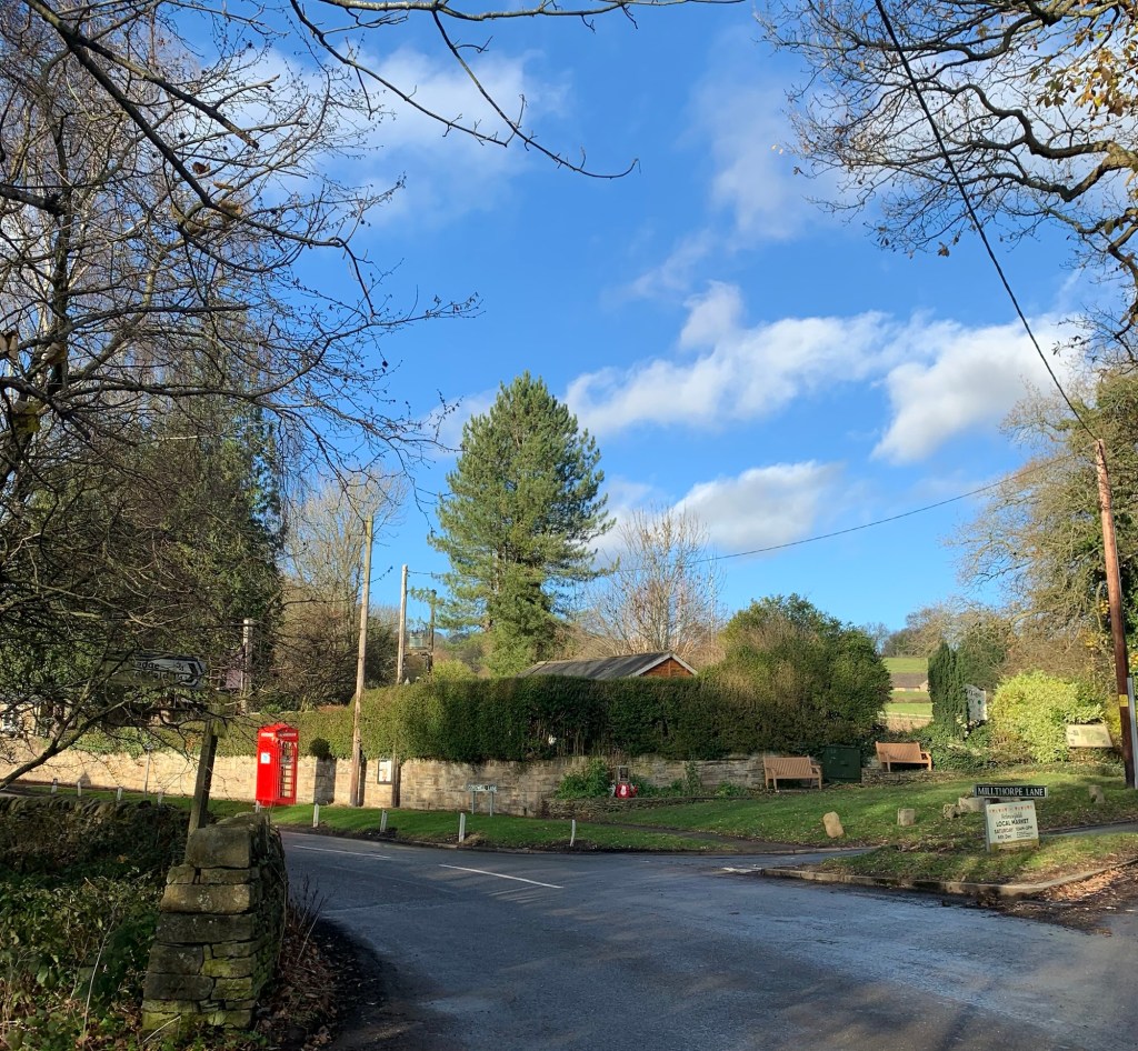
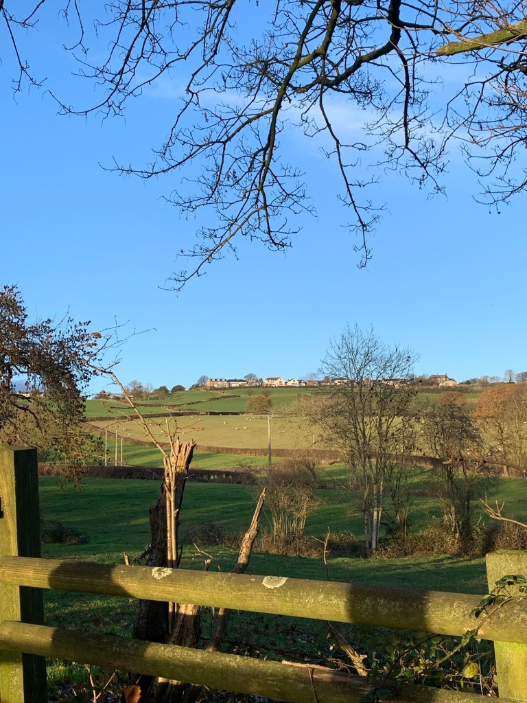
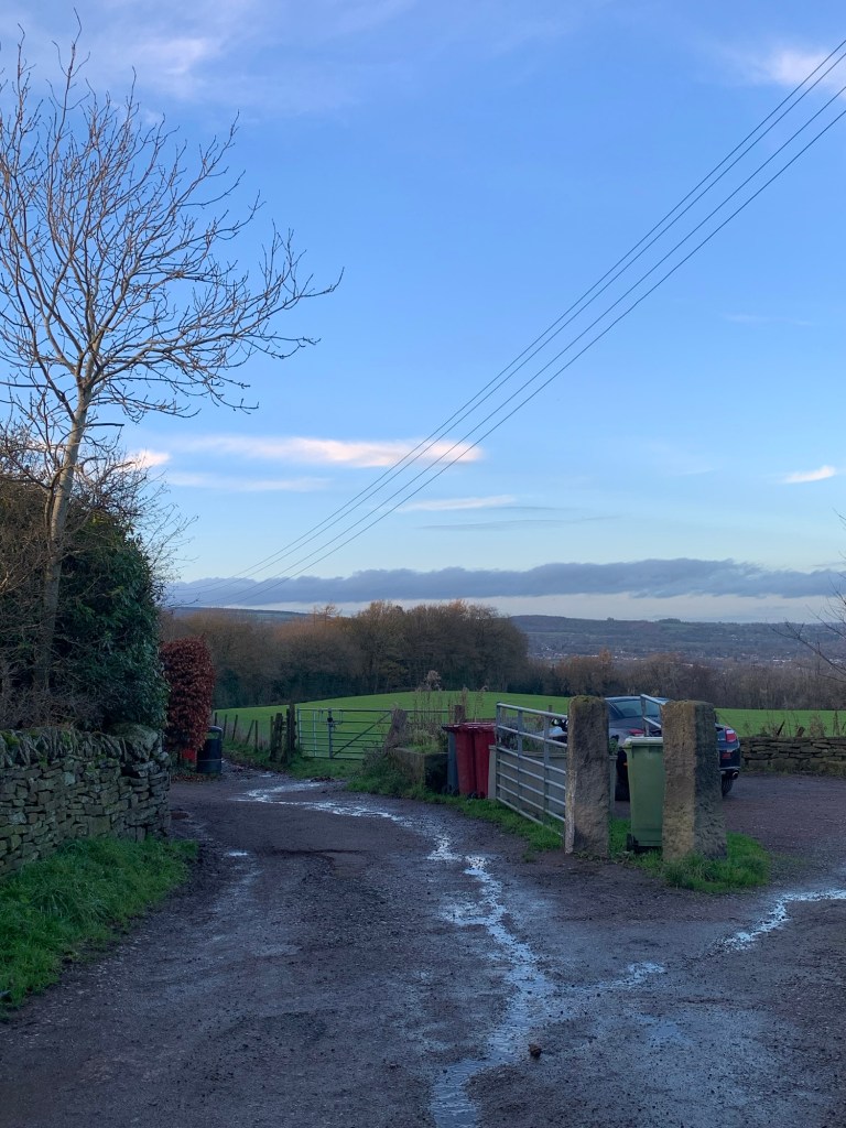
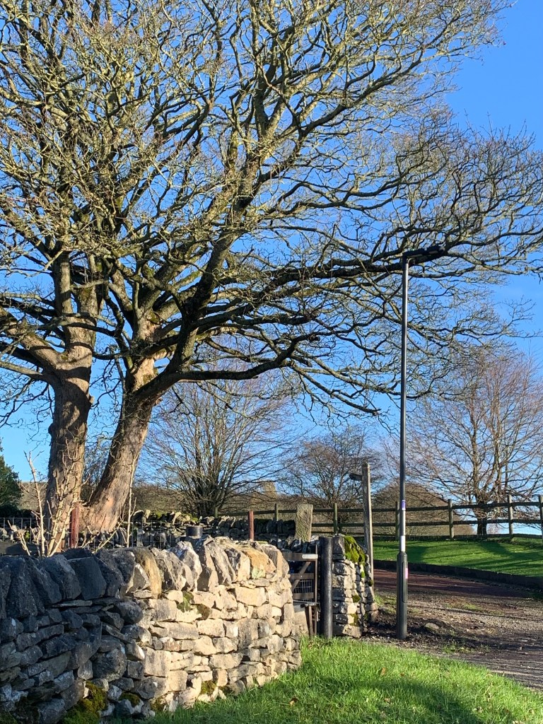
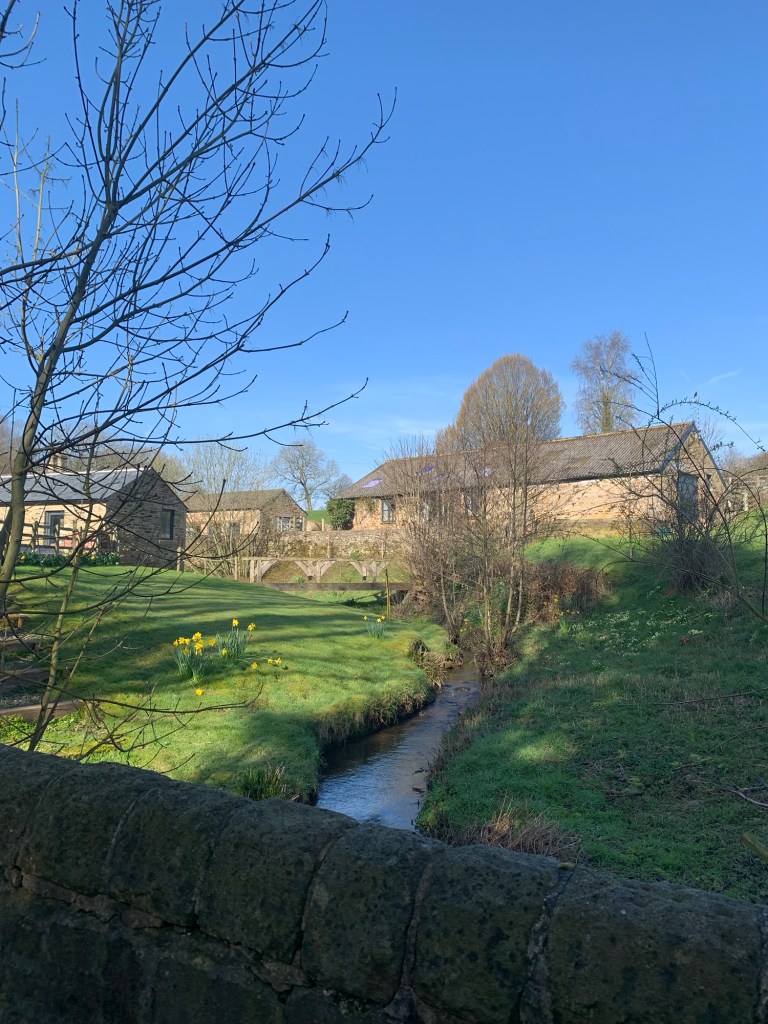
Shatton has a variety of desirable looking residences all with beautifully kept gardens. Everything is practically sparkling in today’s beautiful sunshine.
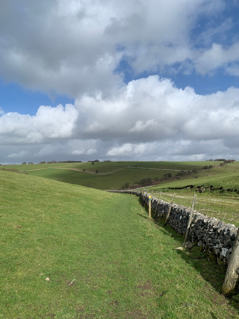
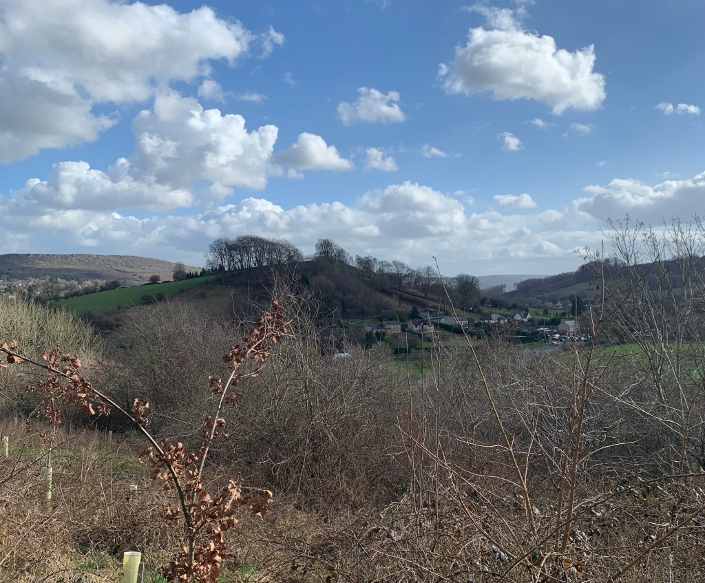
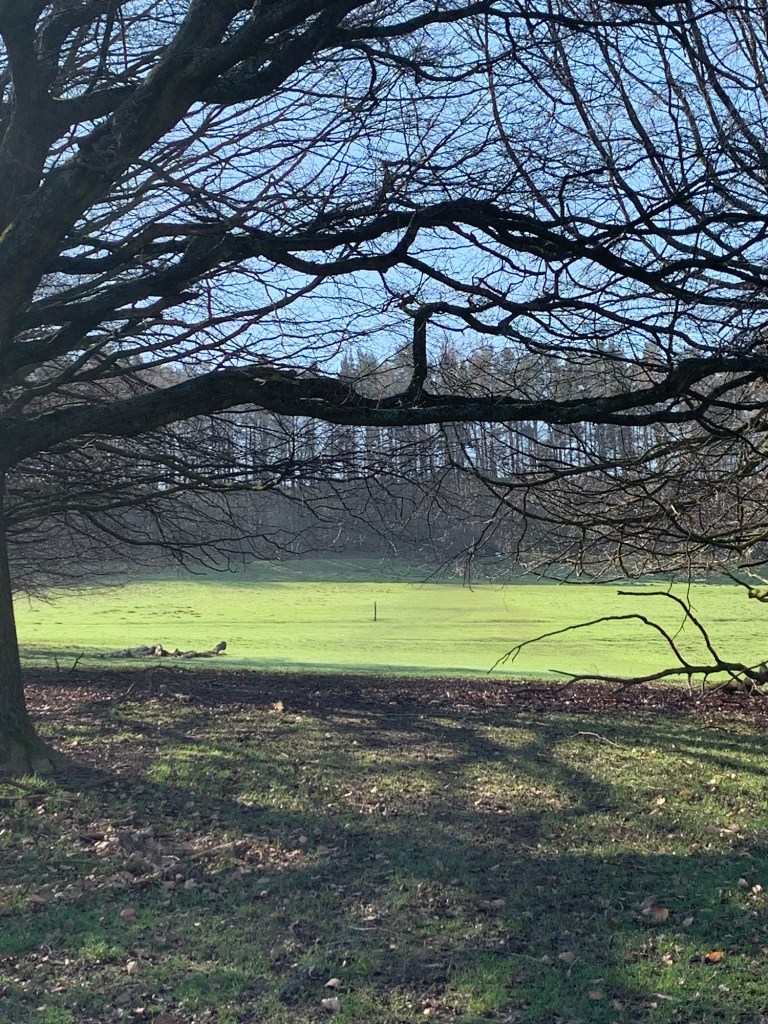
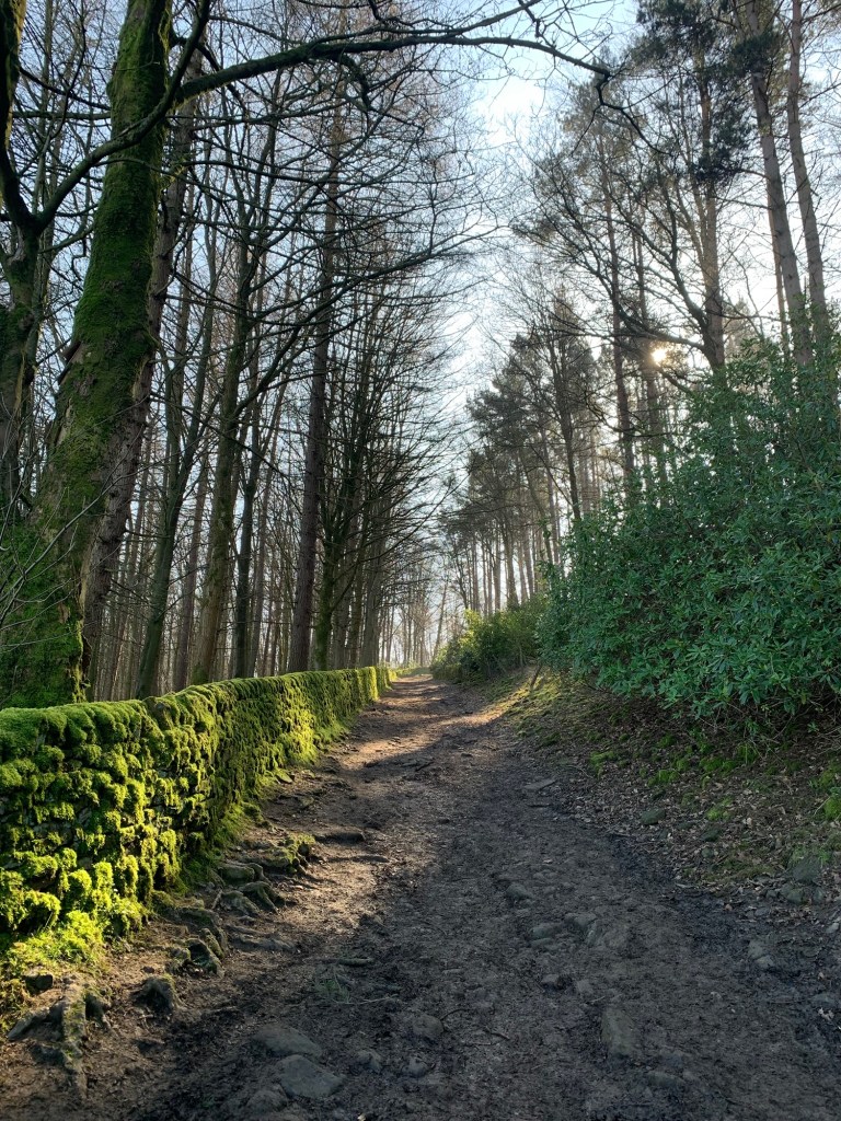
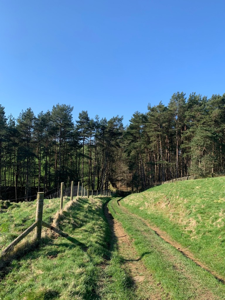
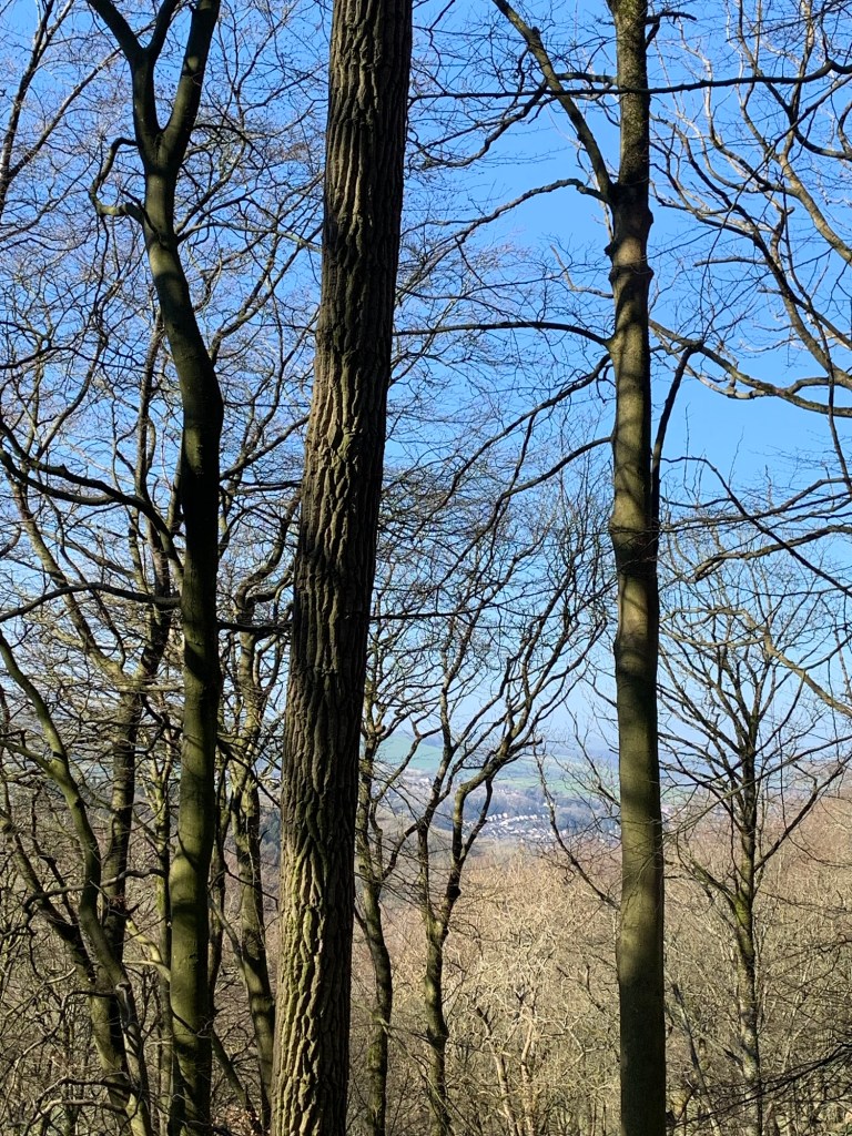
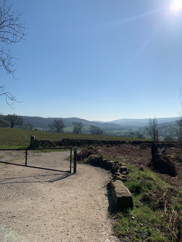
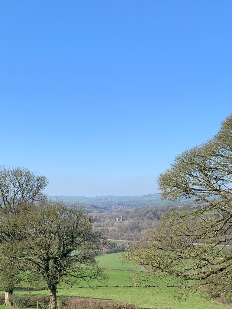
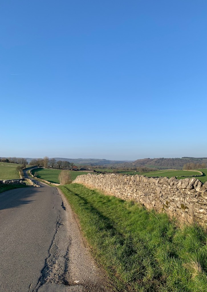
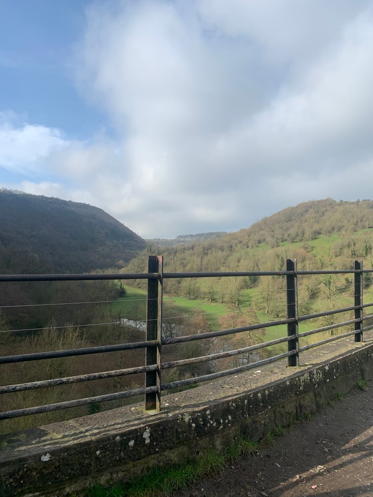
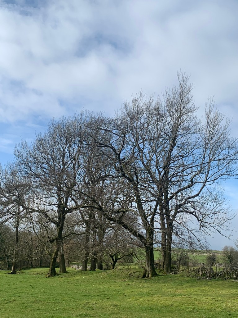
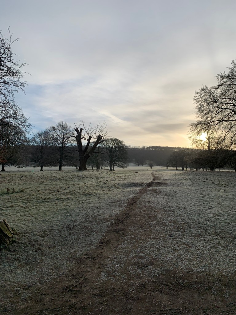
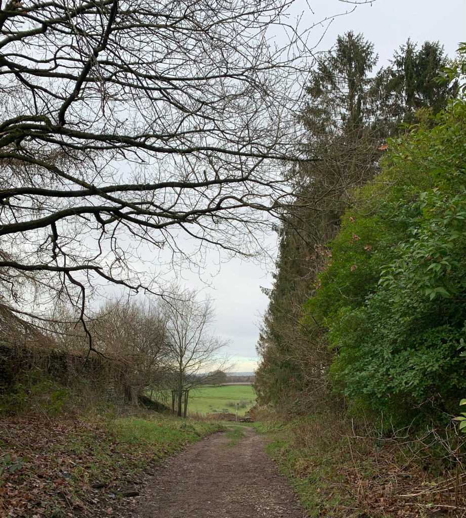
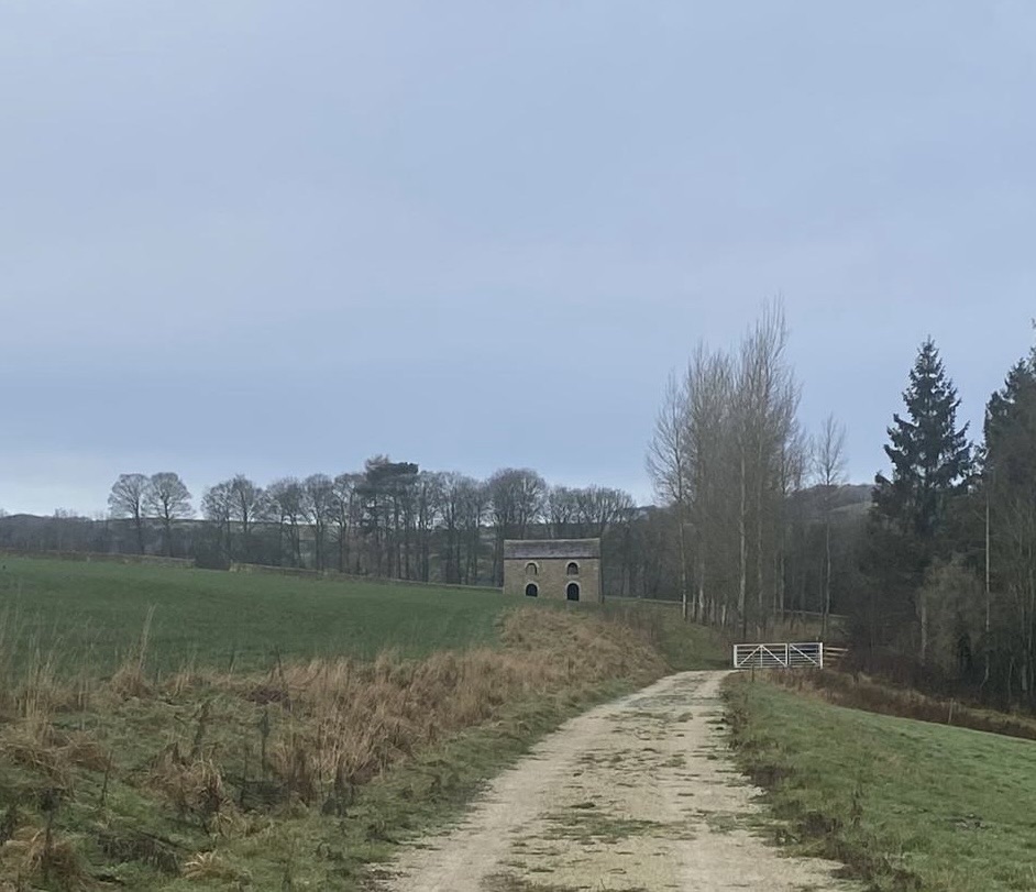
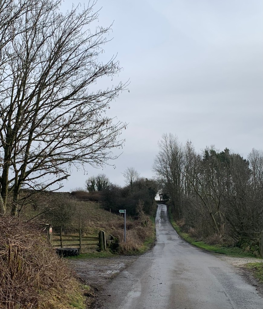
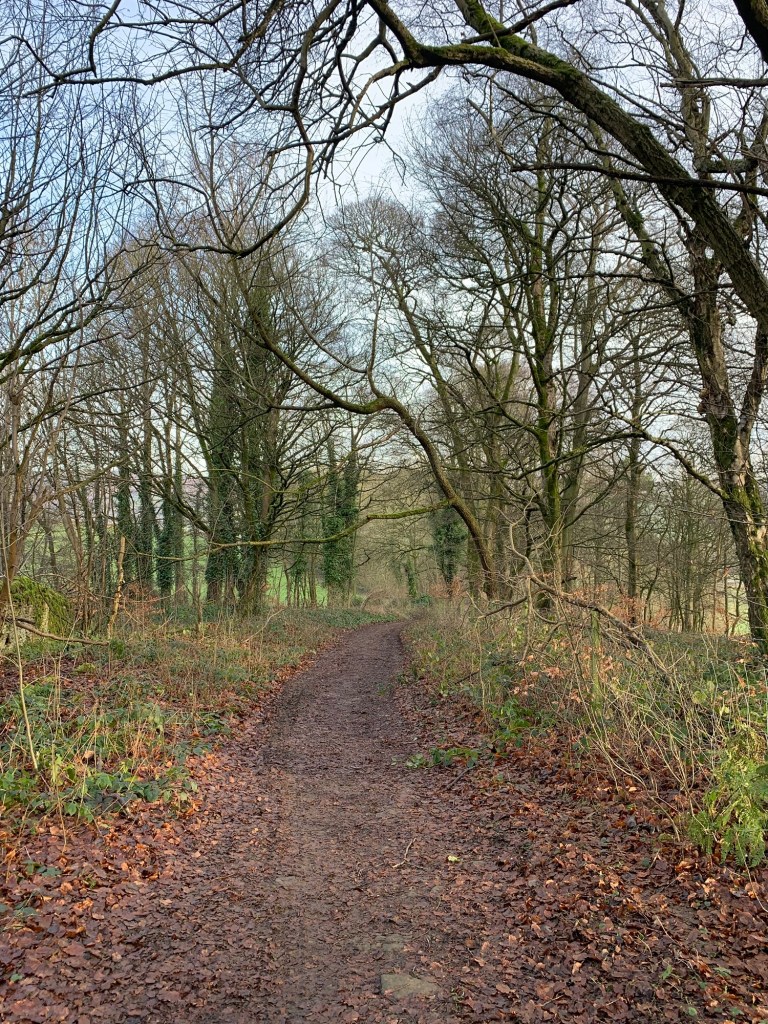
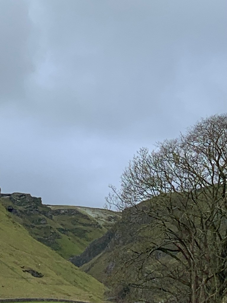
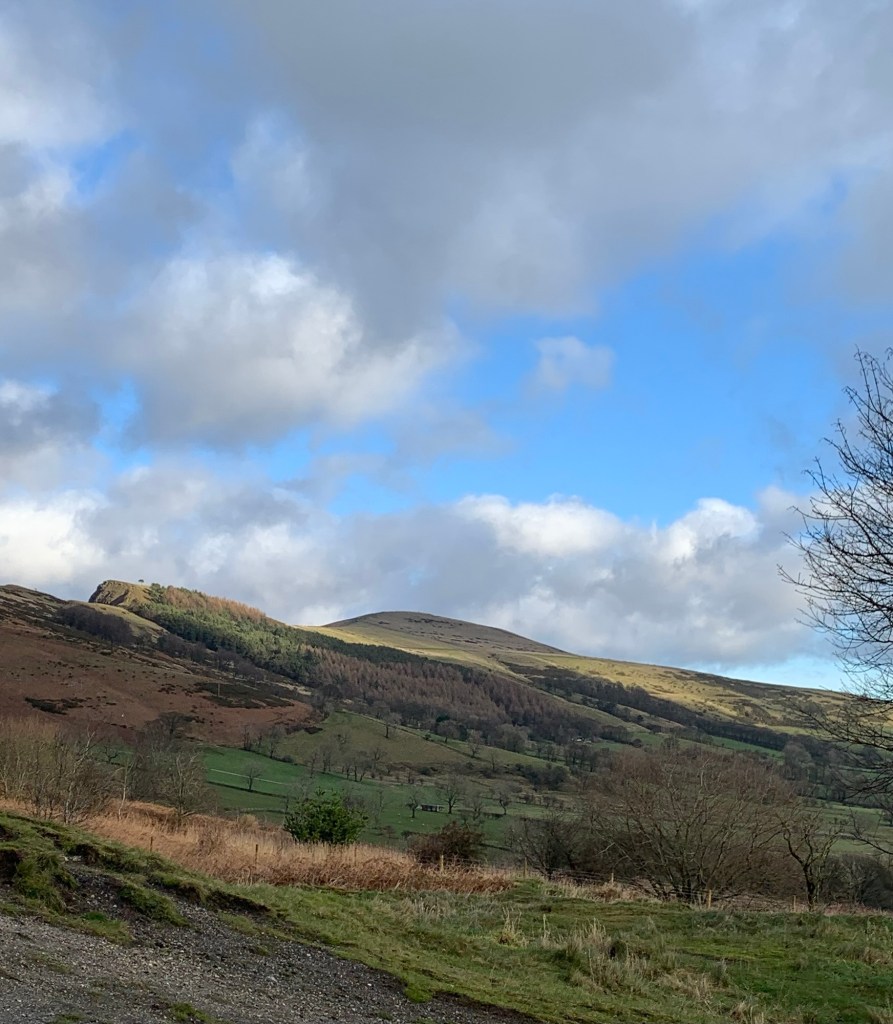
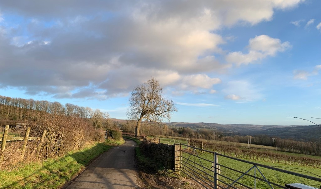
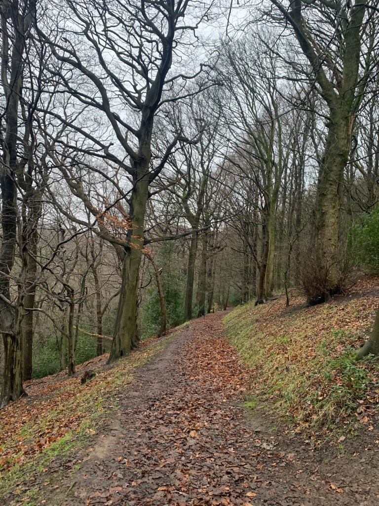
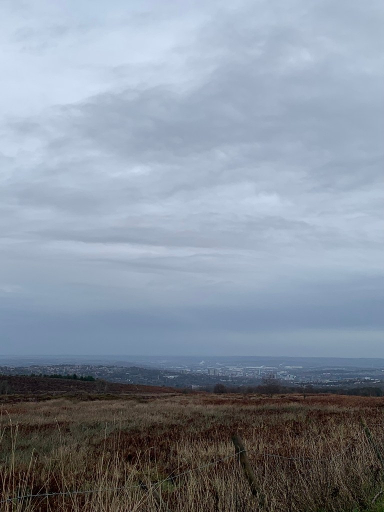
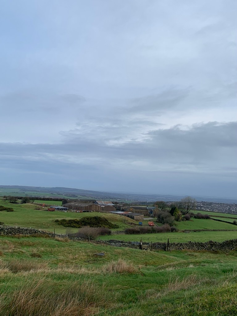
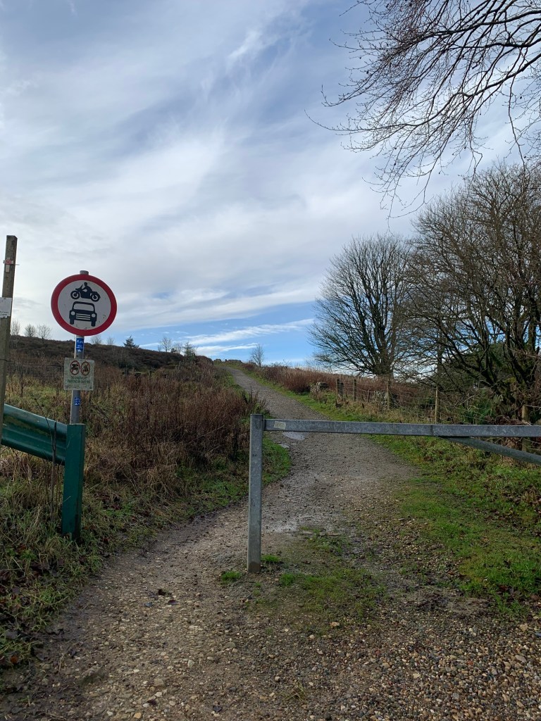
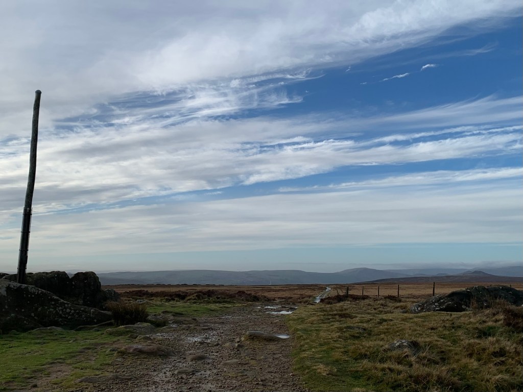
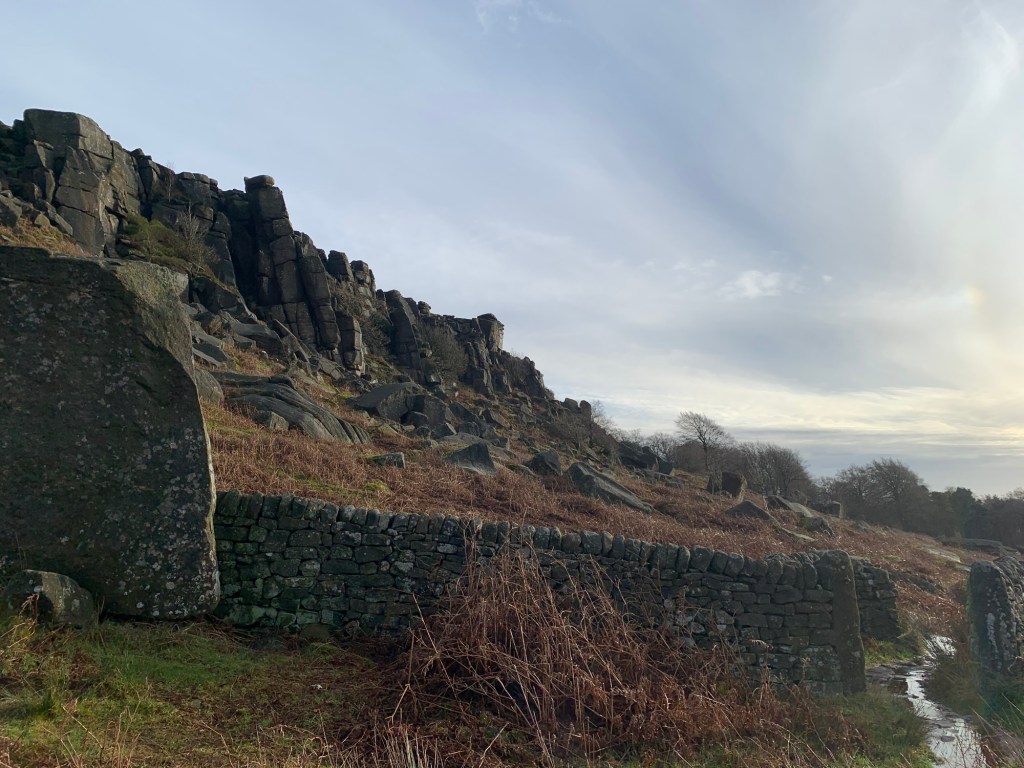
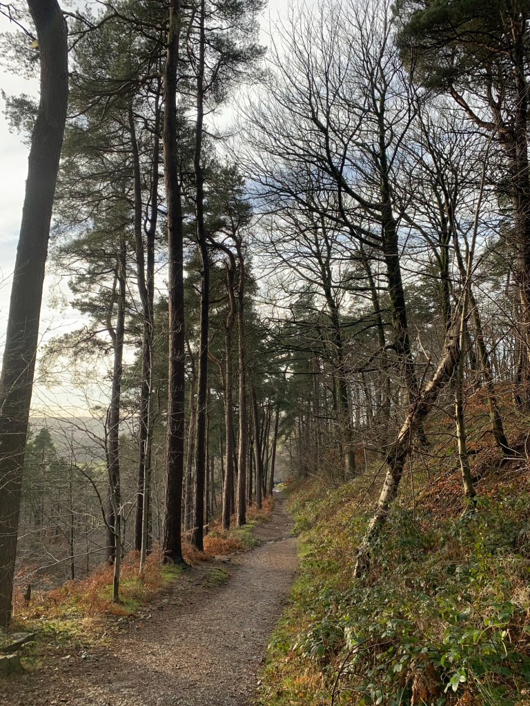
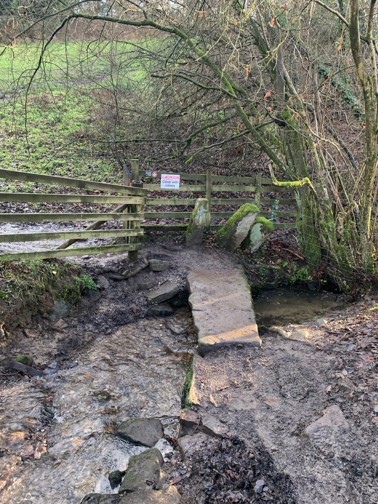
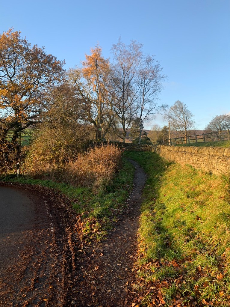
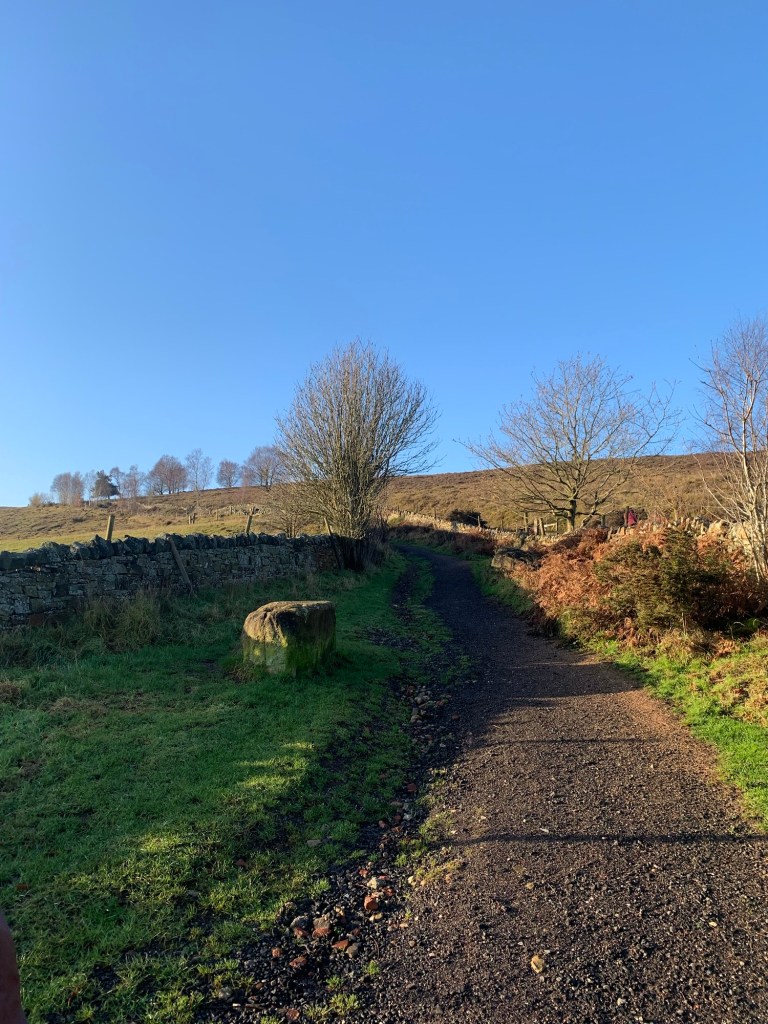
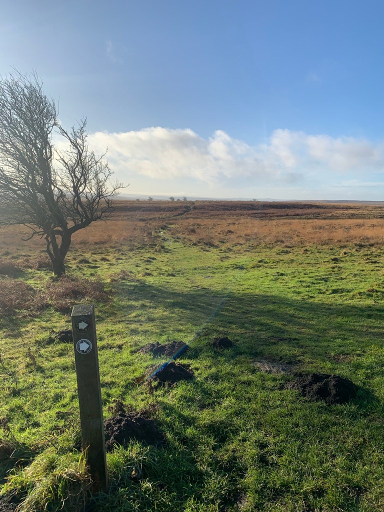
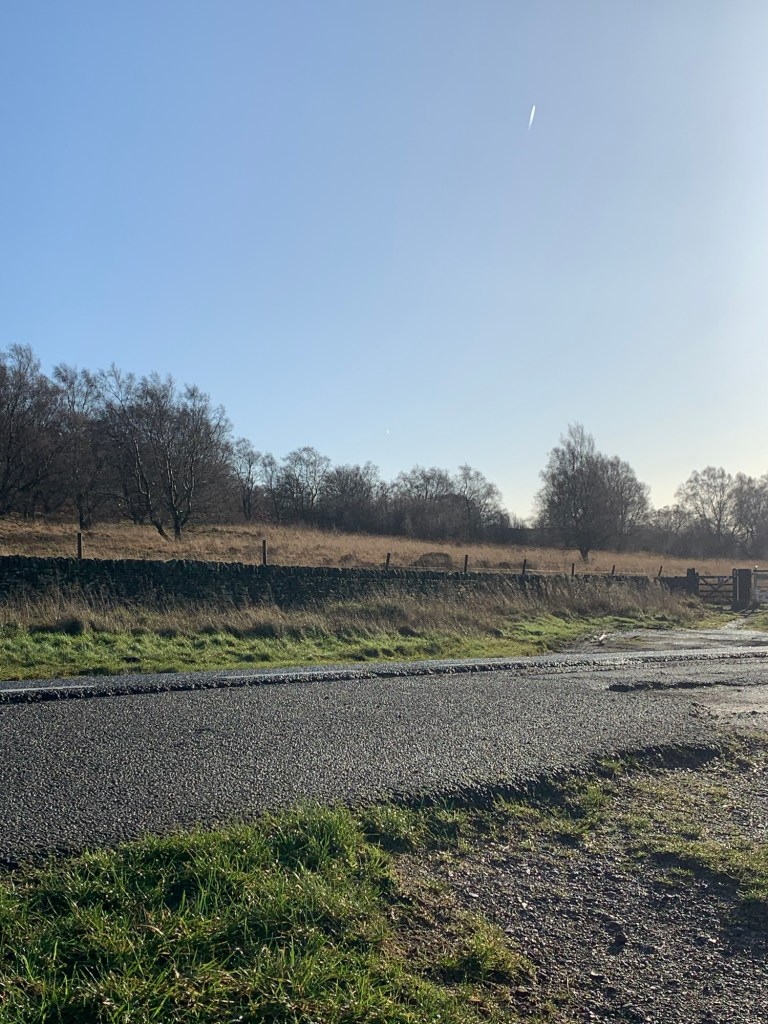
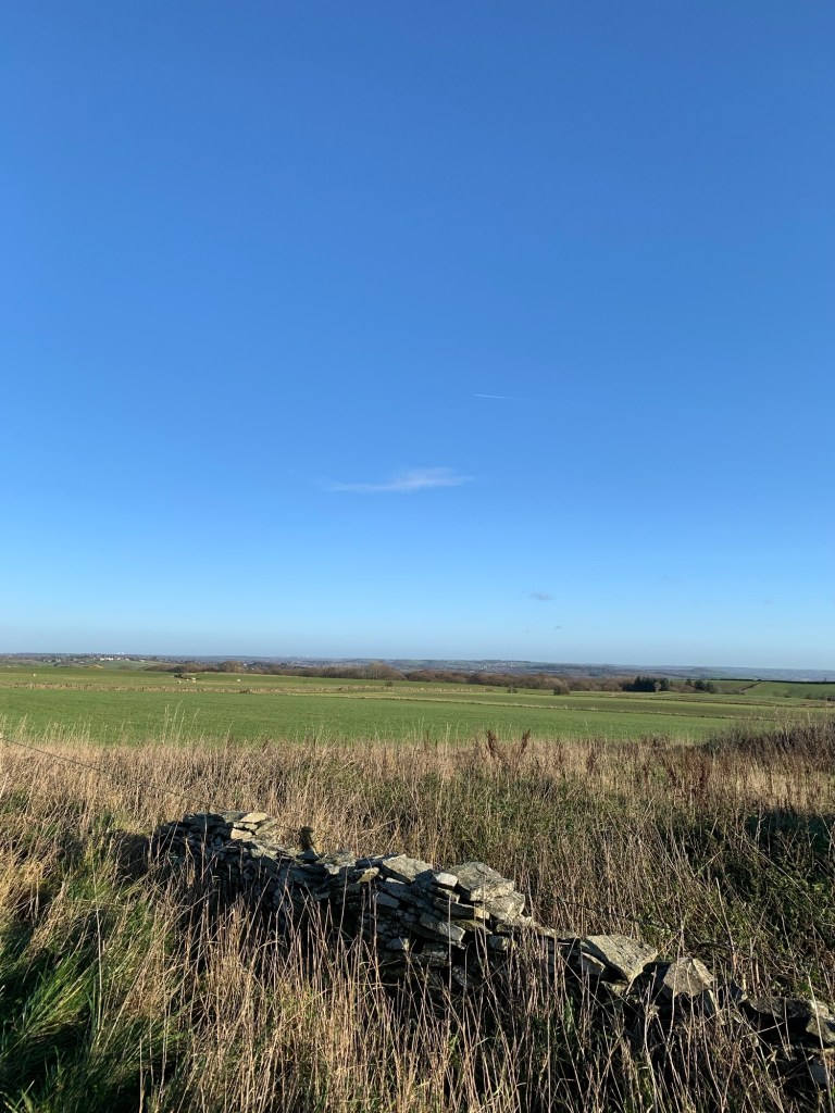
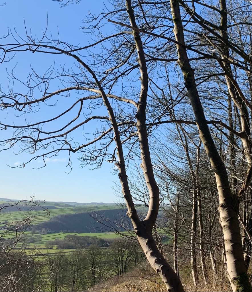
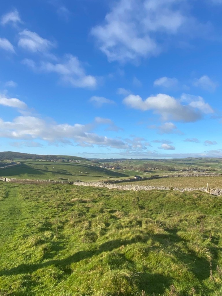
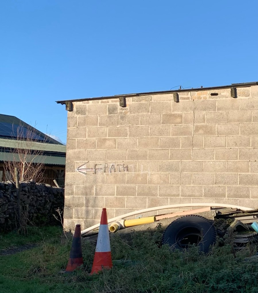
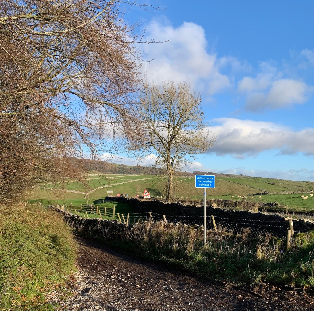
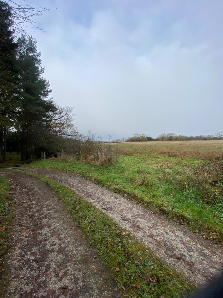
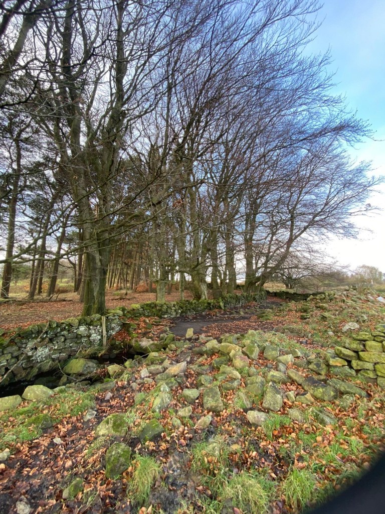
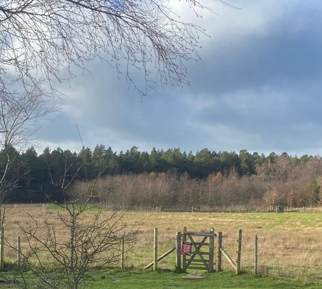
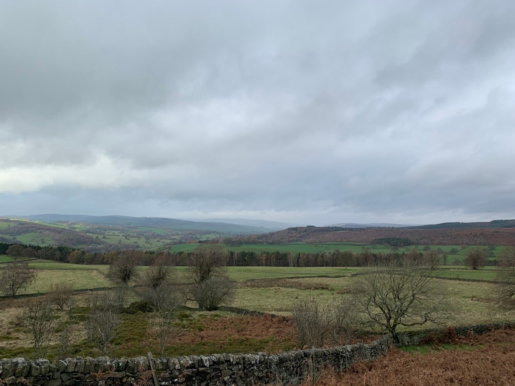
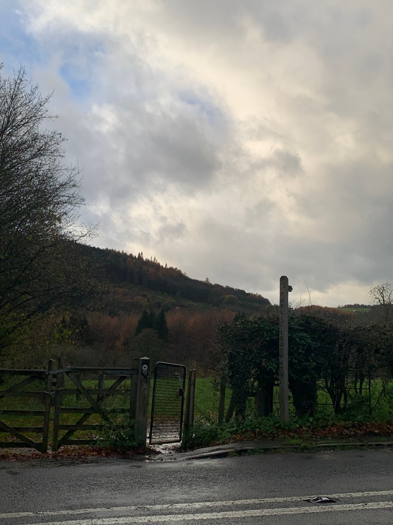
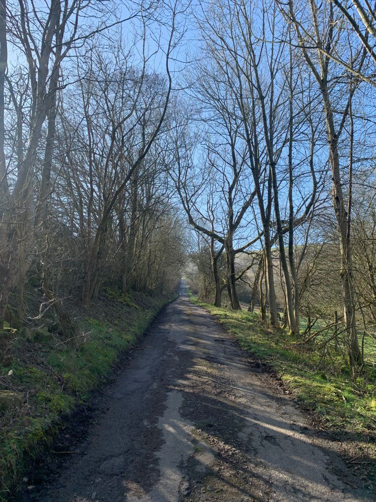
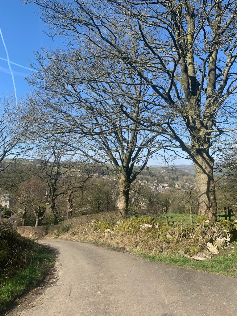
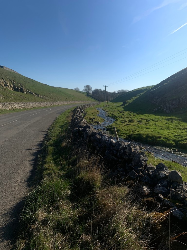
Just before the ford we break left and start to climb up Shatton Lane onto the moor. It’s steep but hugely rewarding with fabulous views in all directions as we gain height.
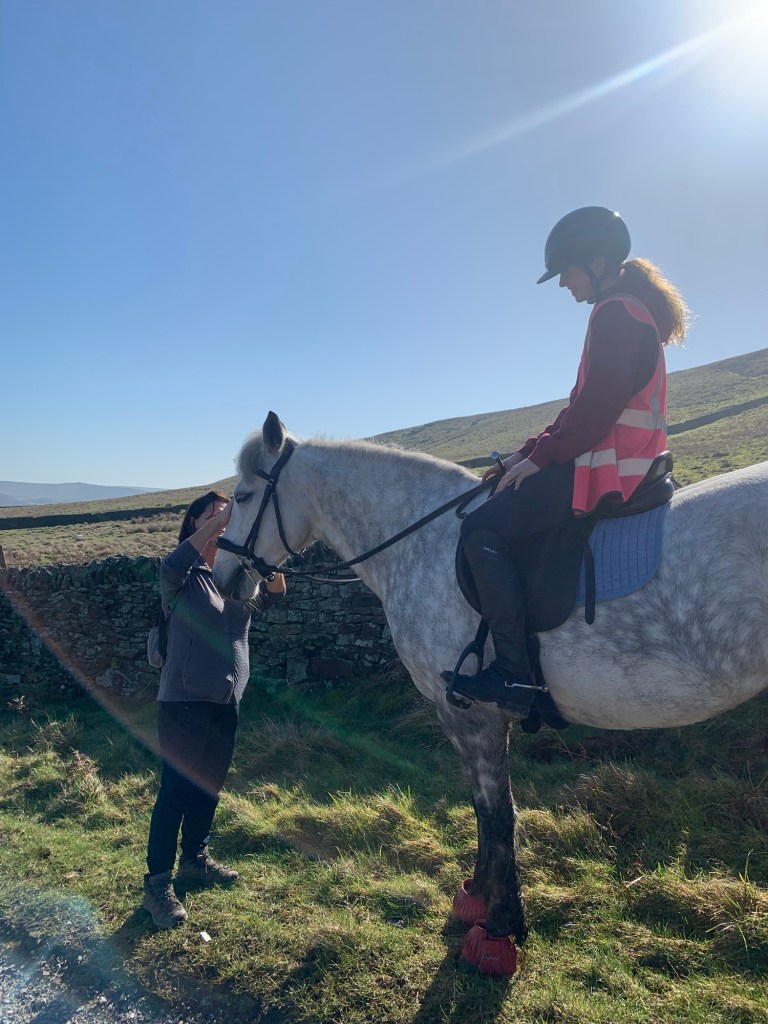
We stop to admire a handsome young horse and chat with its rider before following the lane as it curves around to the right, levelling off a bit as it passes the tv mast.
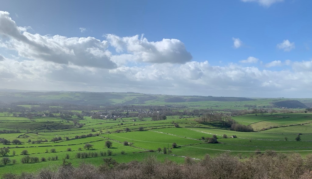
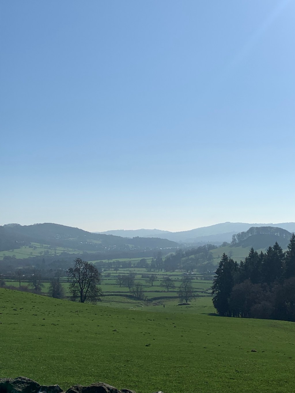
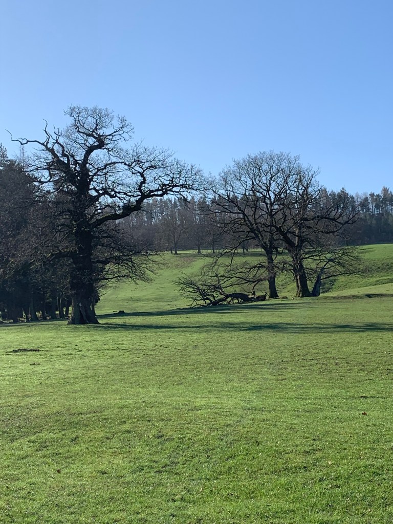
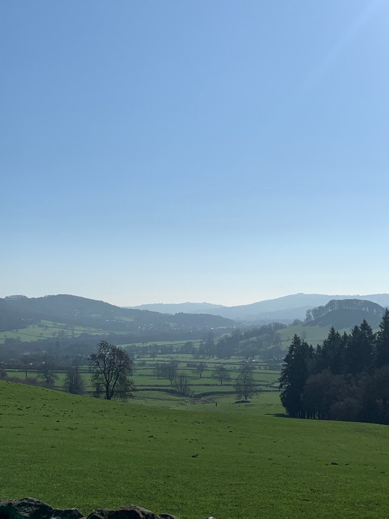
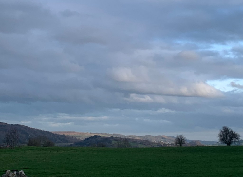
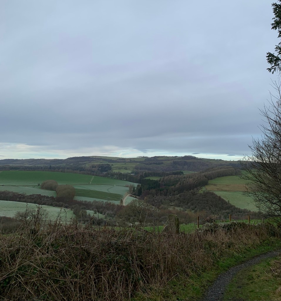
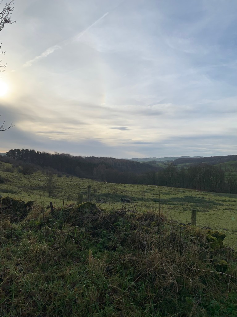
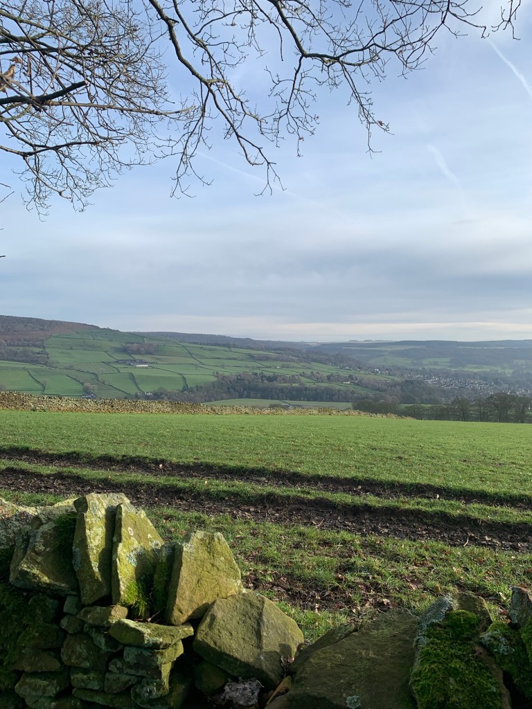
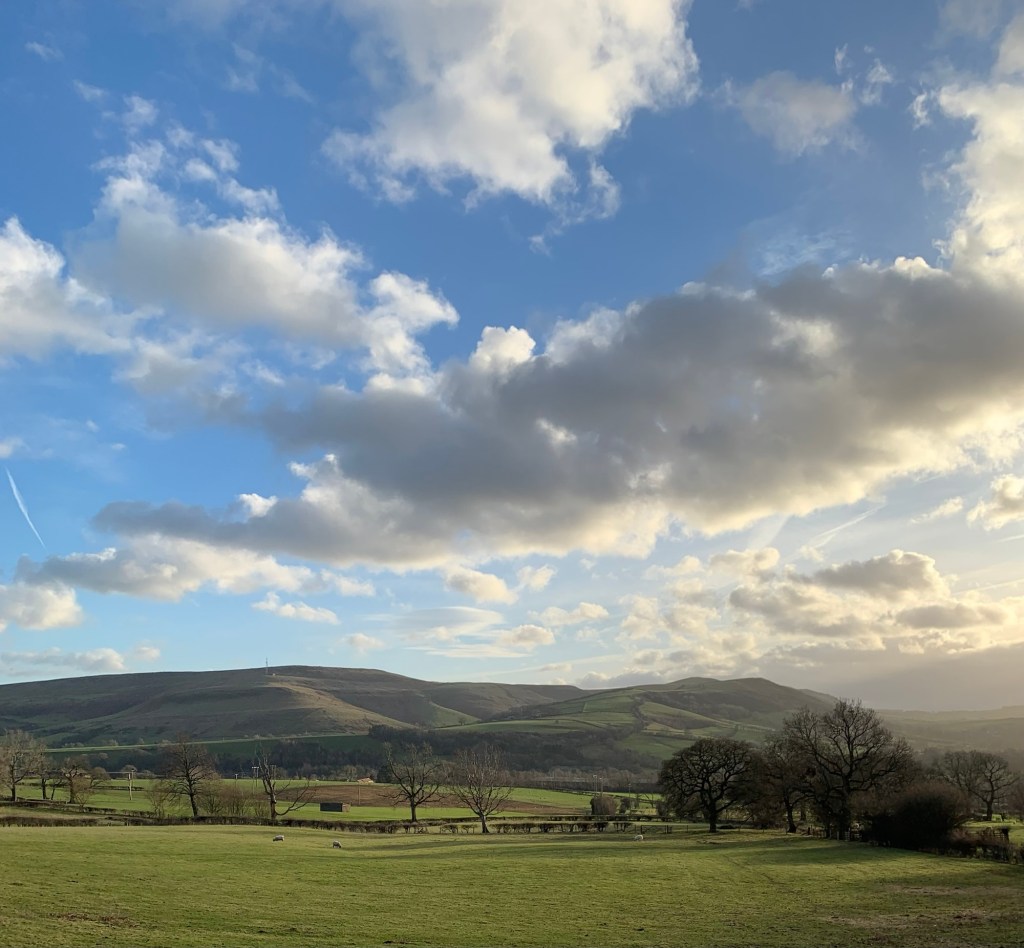
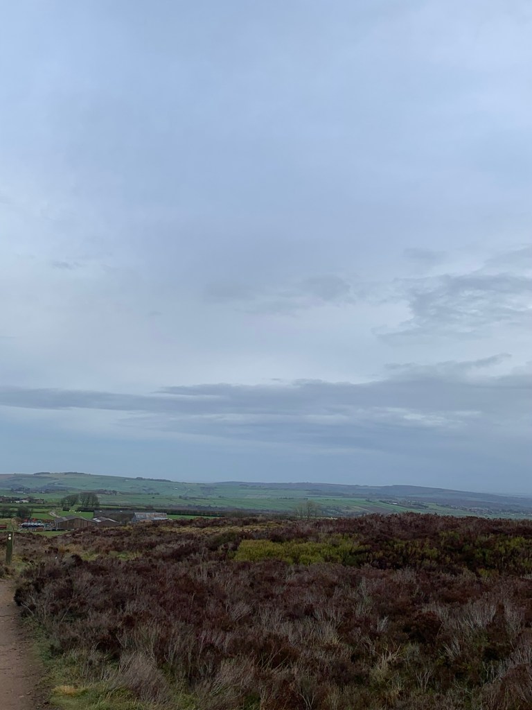
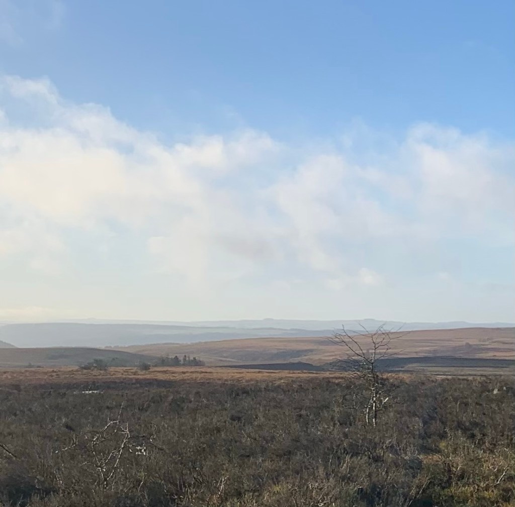
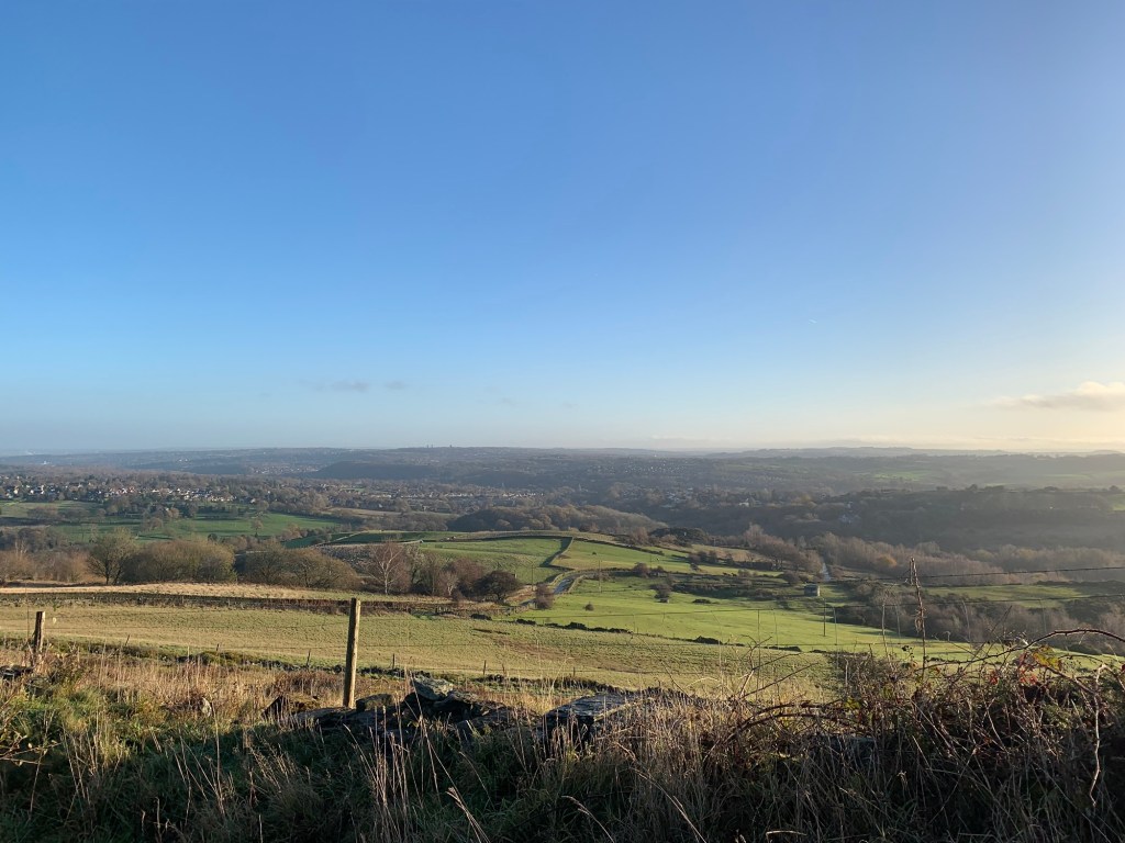
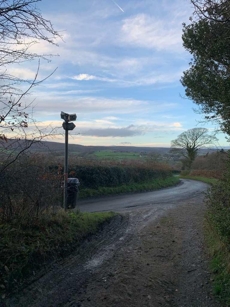
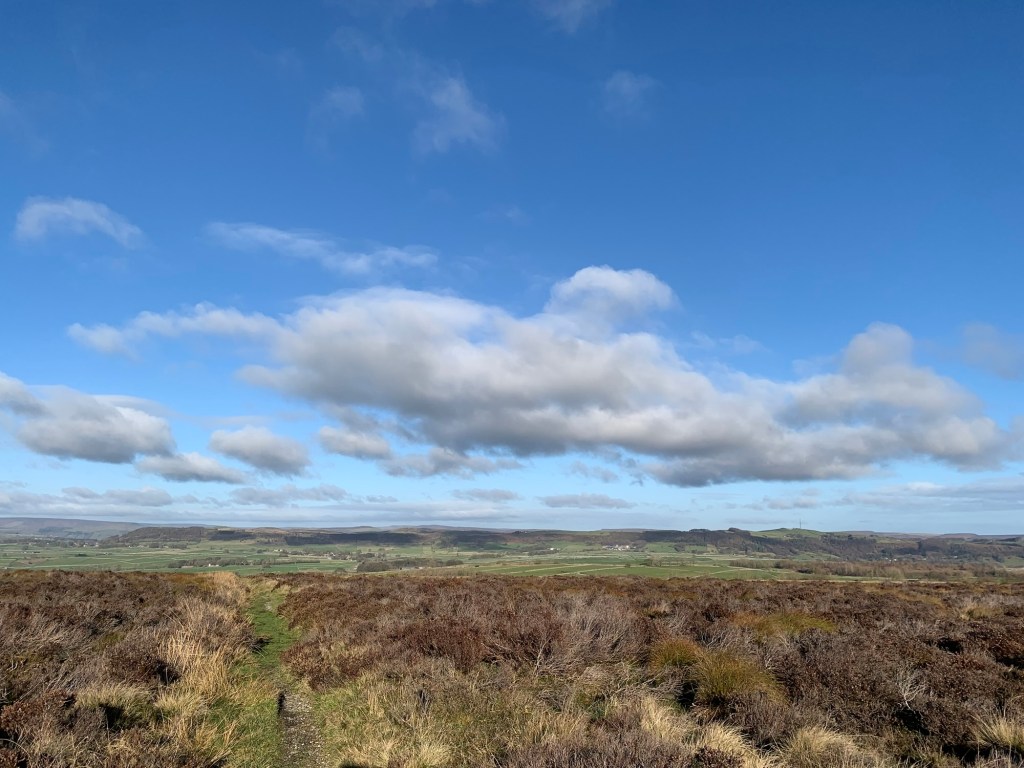
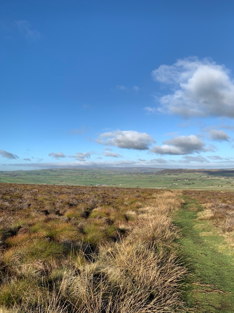
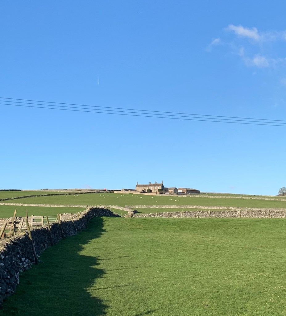
We’re contouring across the hillside and as we turn another corner we get a new feast full of views. It’s elevated but easy walking and perfect weather, we feel like we’re on top of the world.
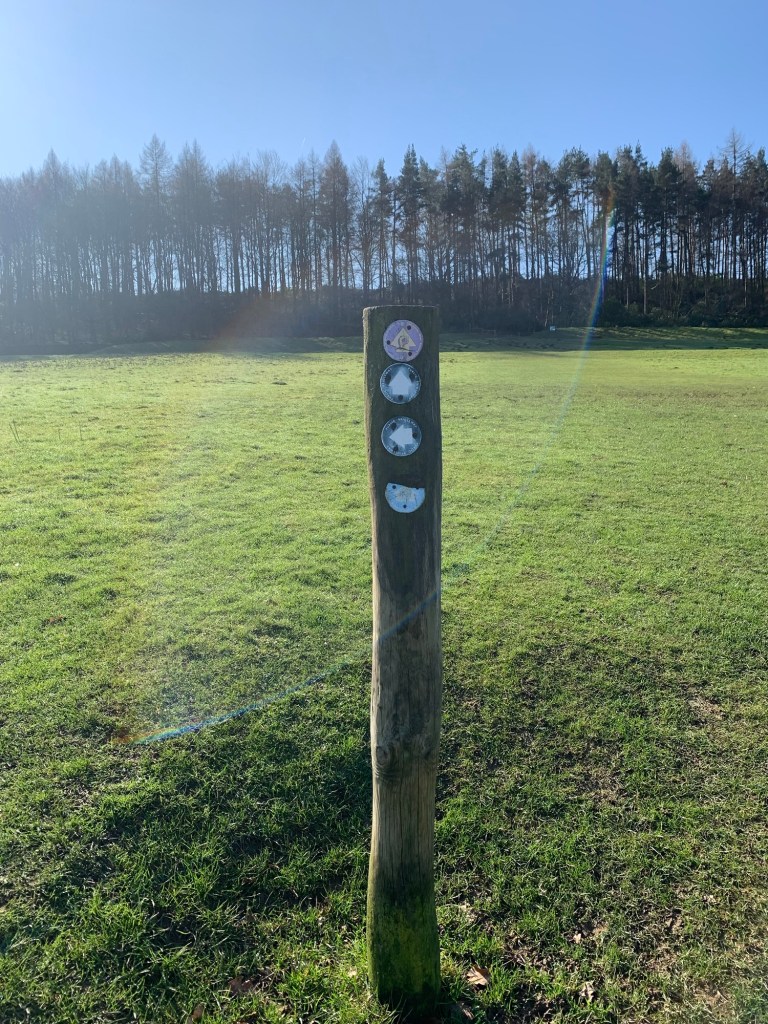
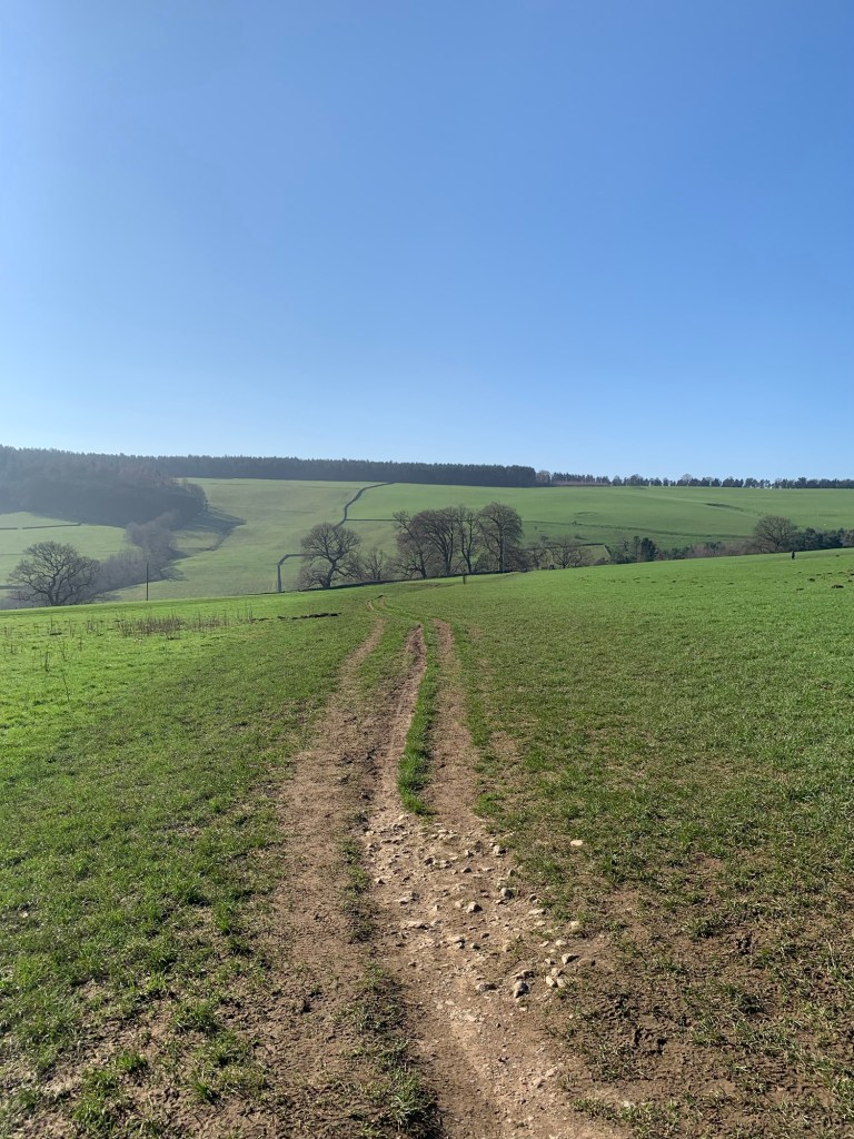
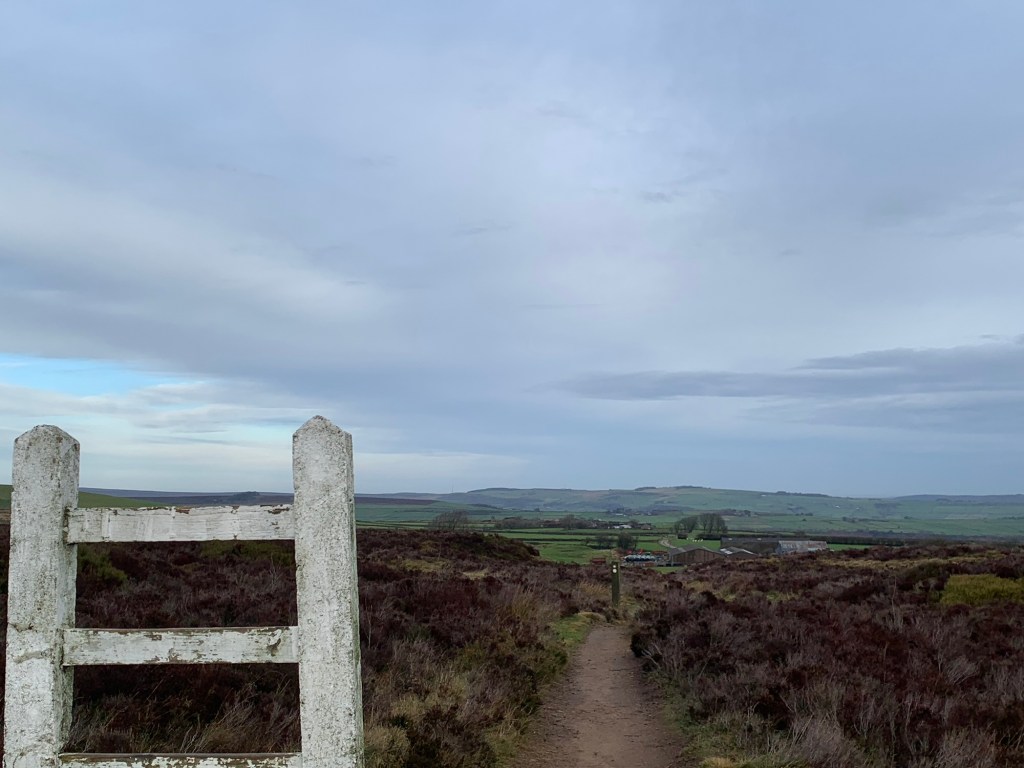
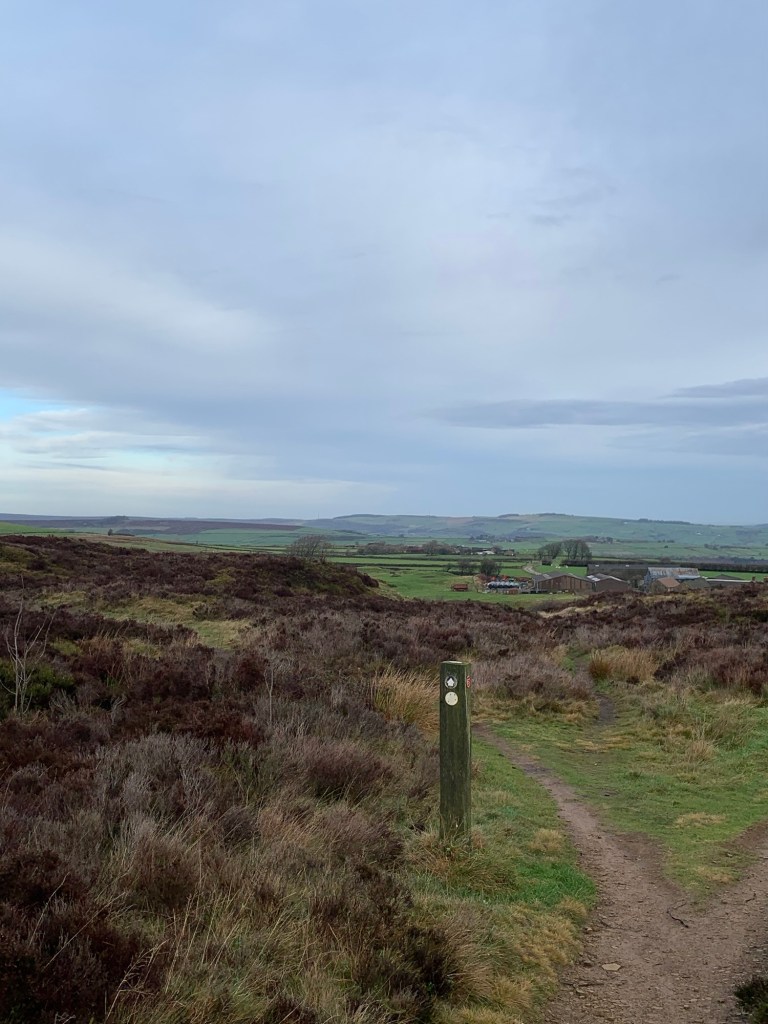
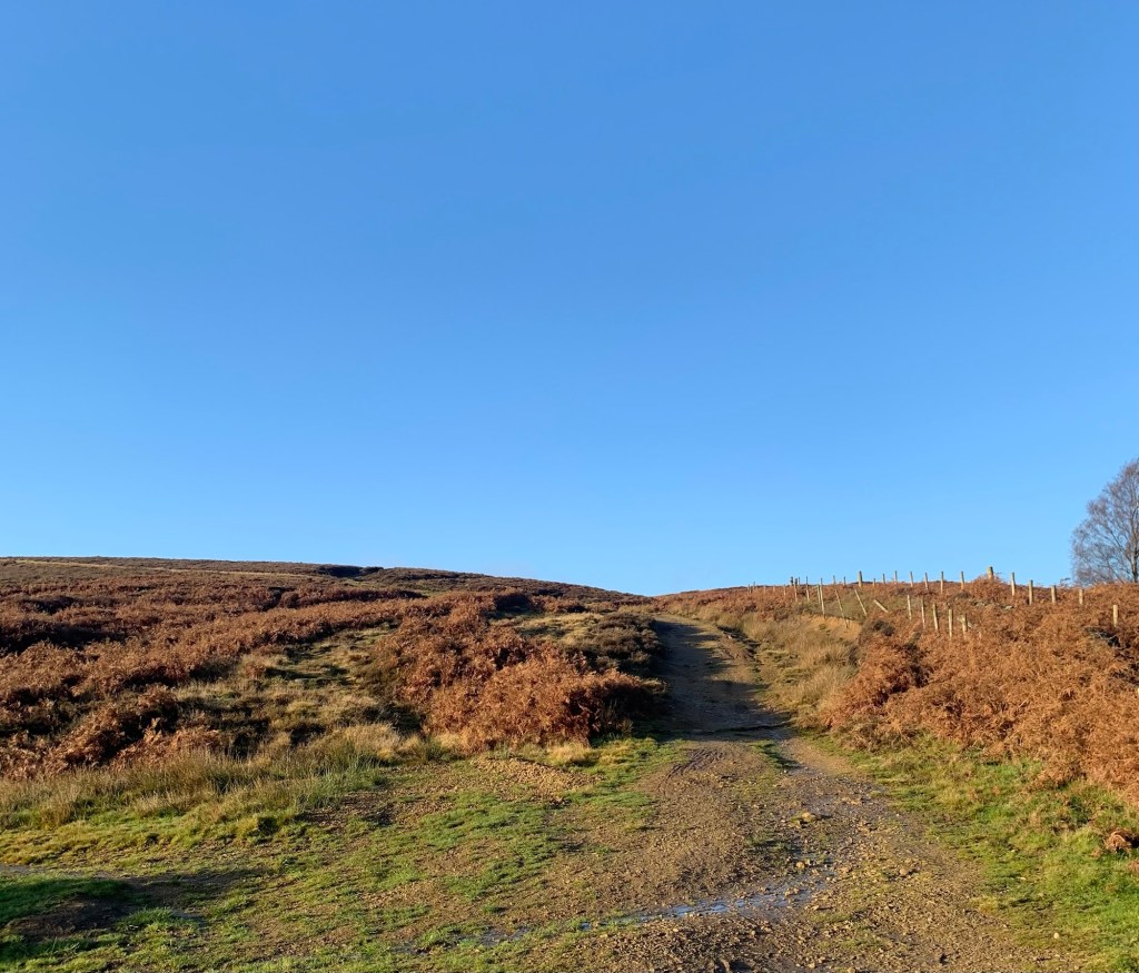
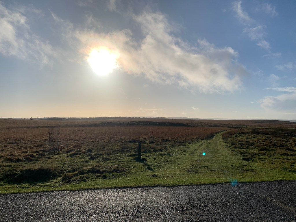
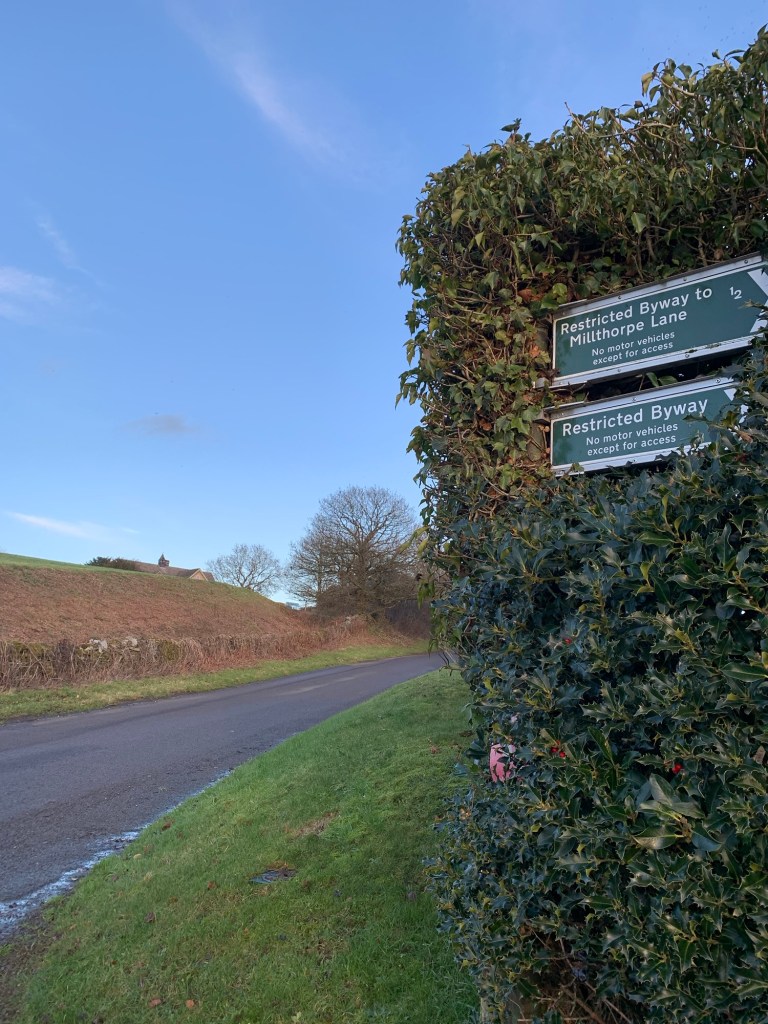
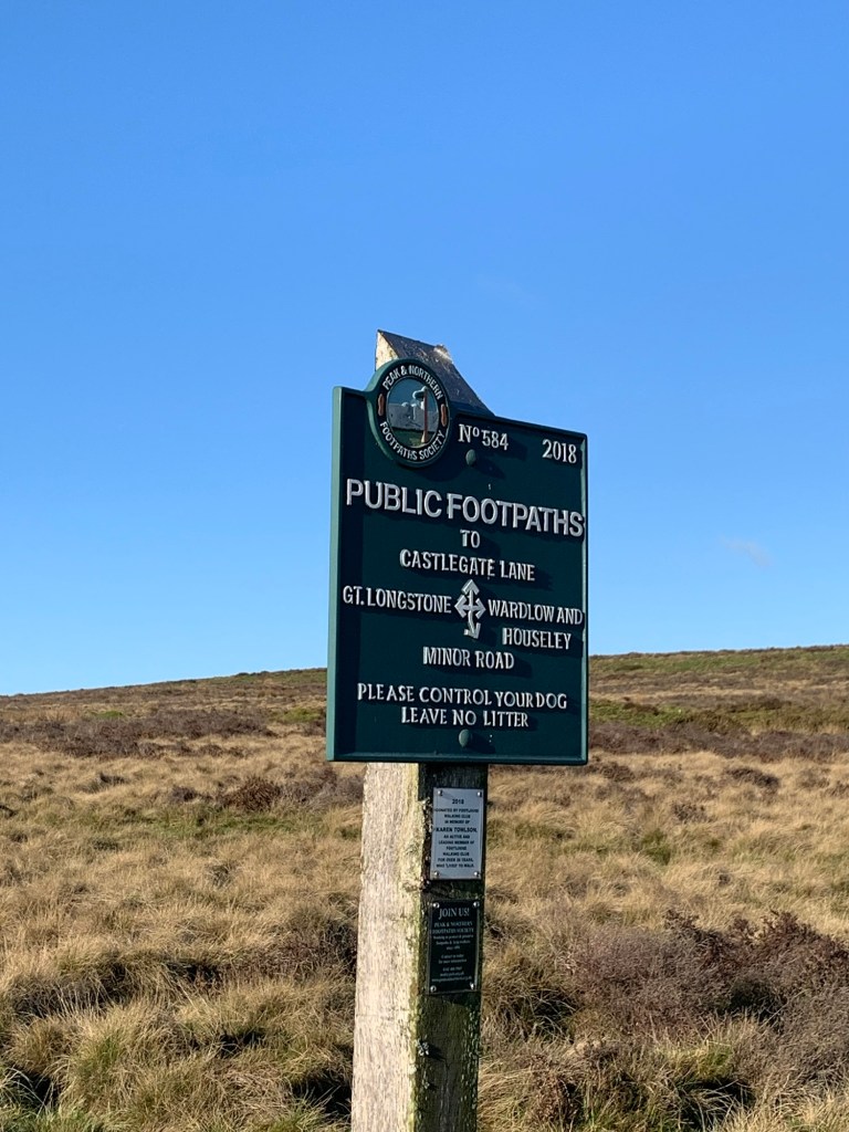
The path makes a broad right curve across the moor passing the lane that leads off left to Abney
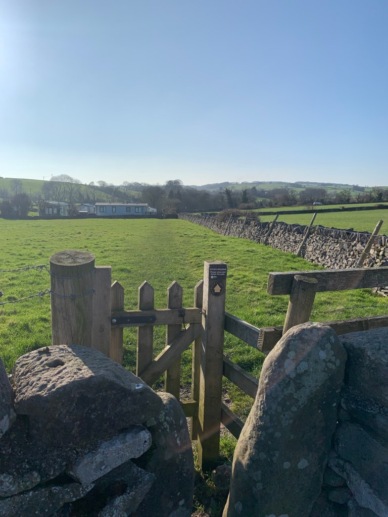
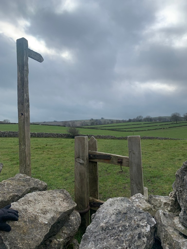
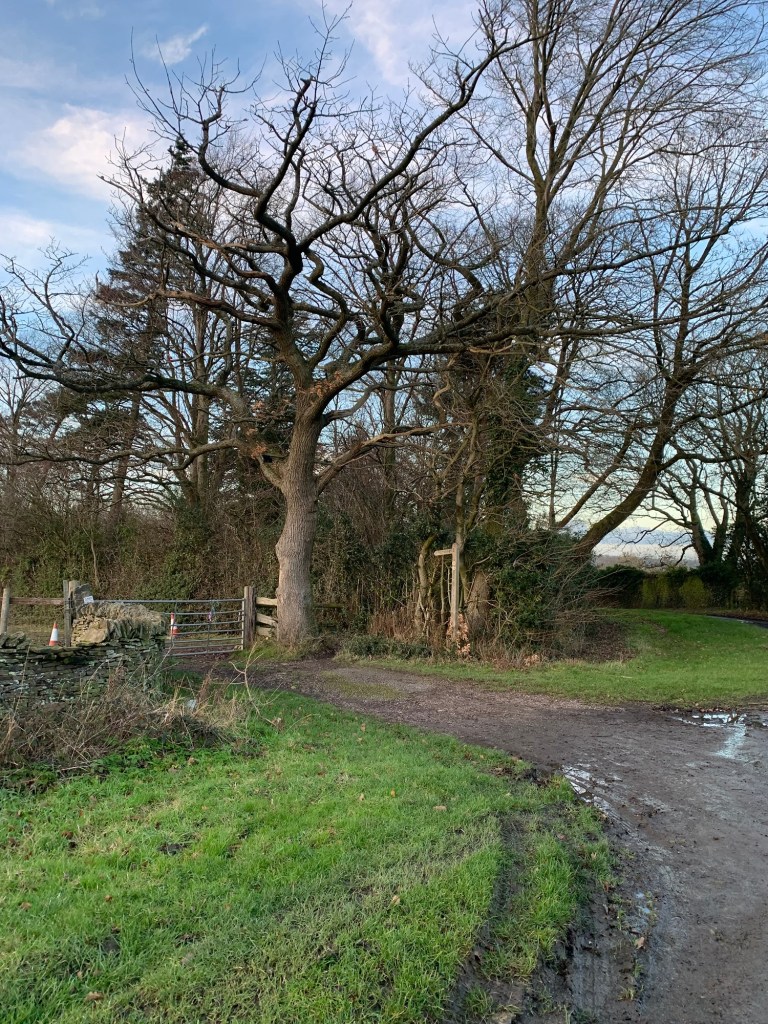
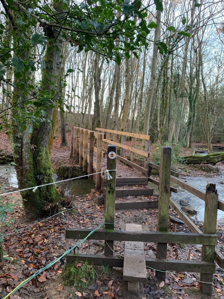
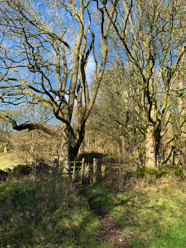
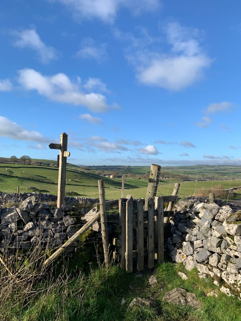
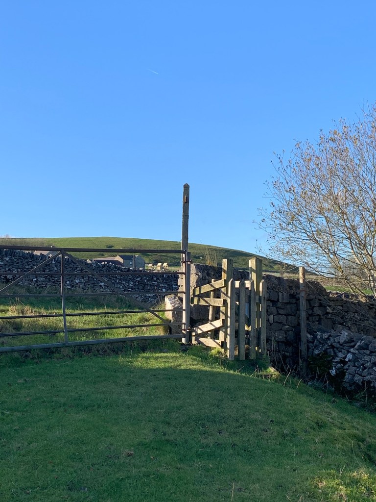
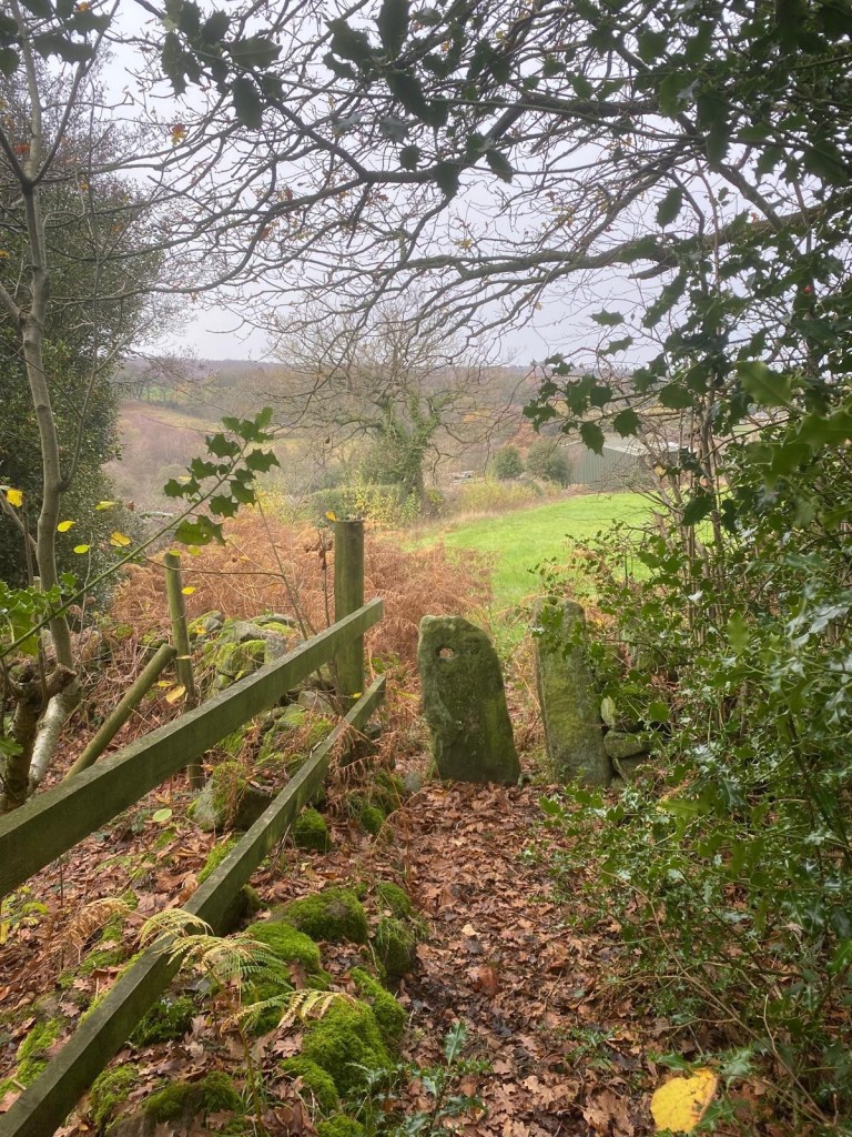
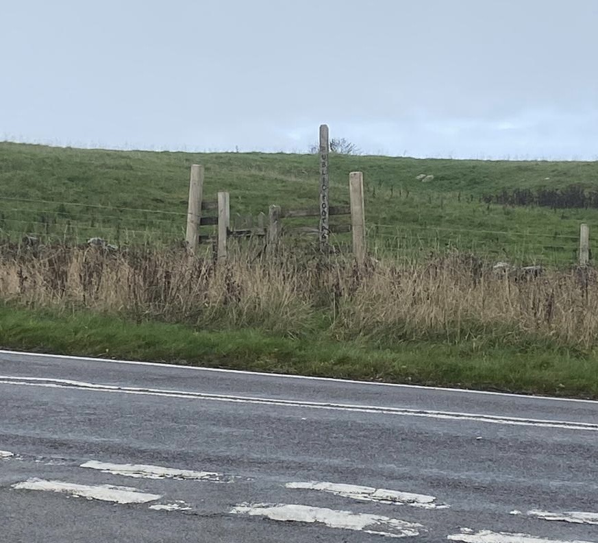
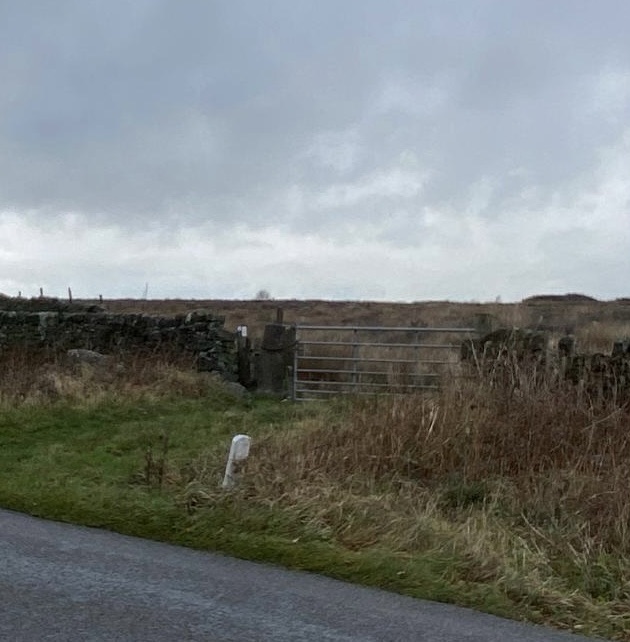
and just after we start to lose height, after turning more definitely right, we take the footpath on our left. This will take us steeply down to Bradwell.
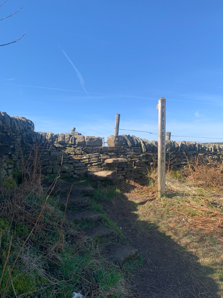
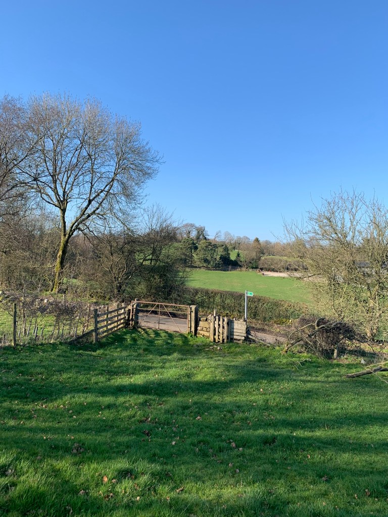
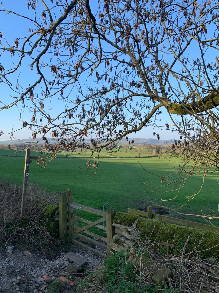
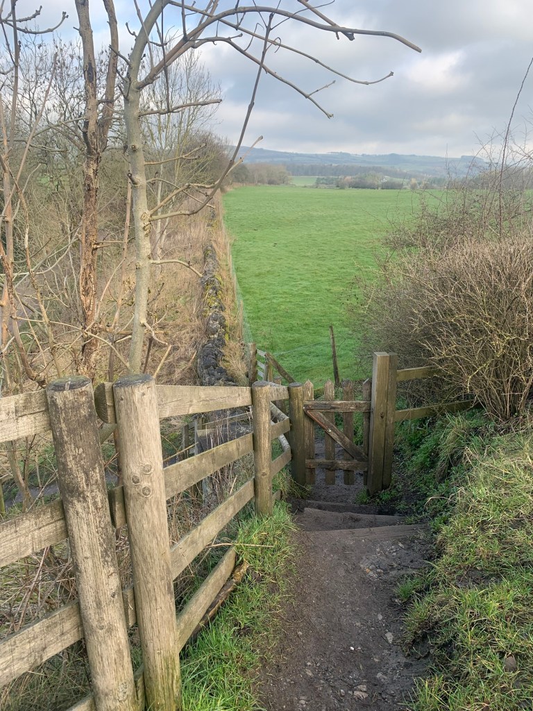
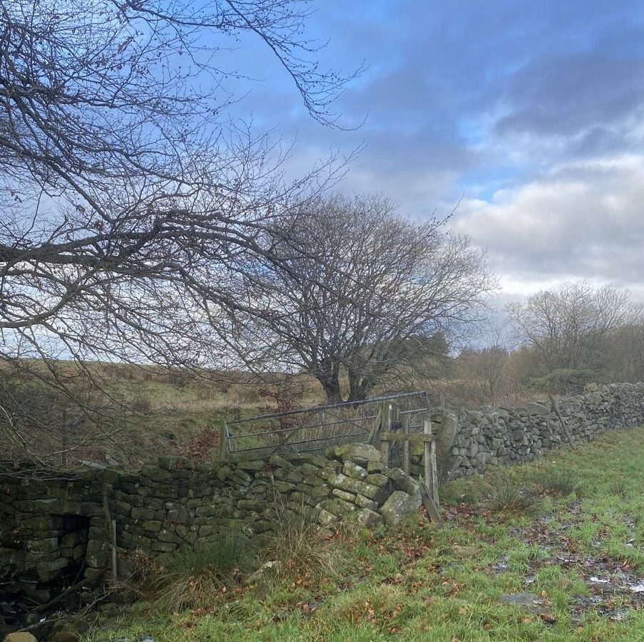
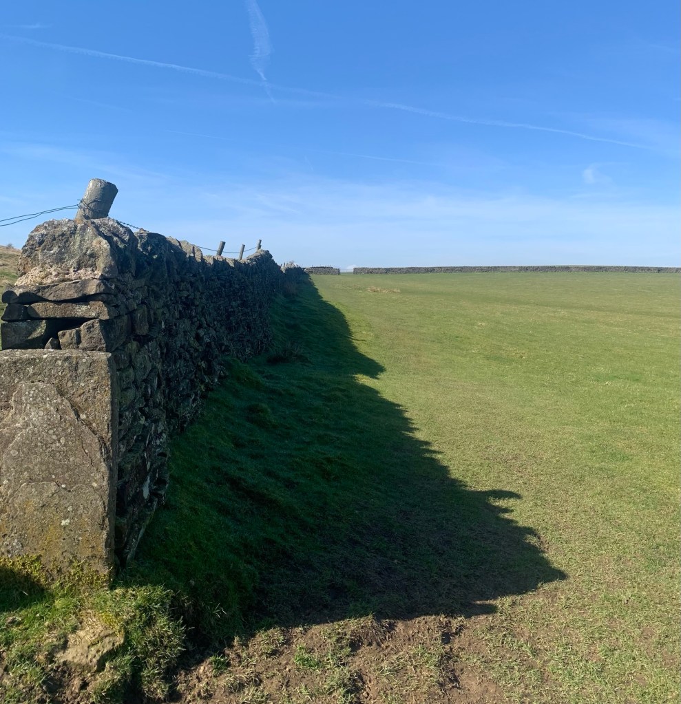
Take care here as, once over the first stile, another beckons immediately to the left. However it must be ignored as the path we need heads straight forward with the field wall on our left.
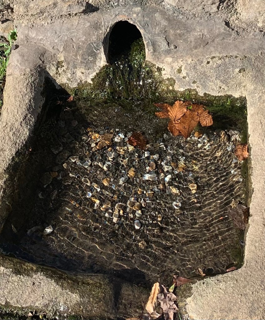
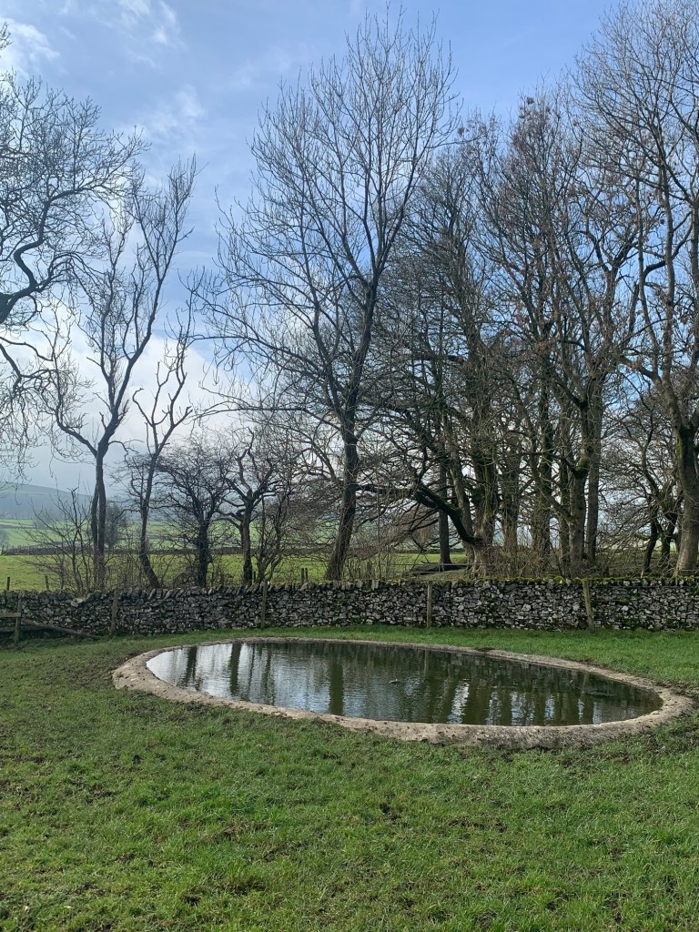
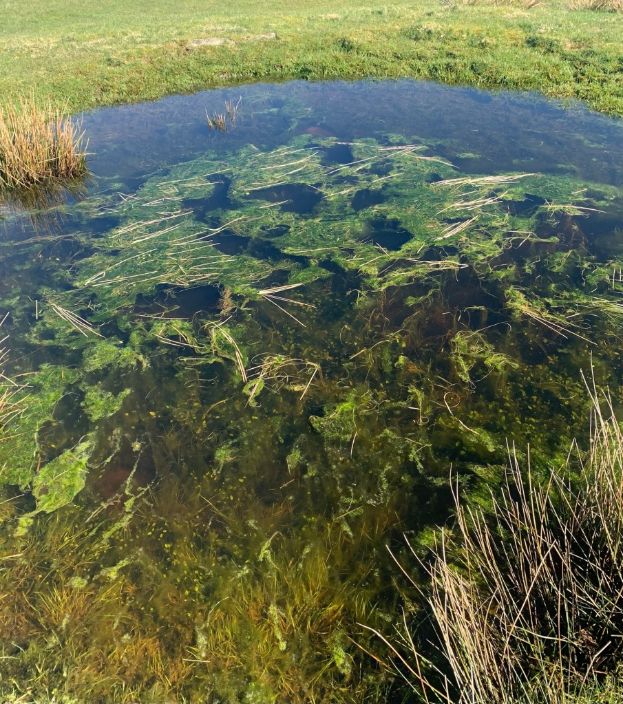
We very shortly pass an extremely green pond which will surely soon be full of frogspawn.
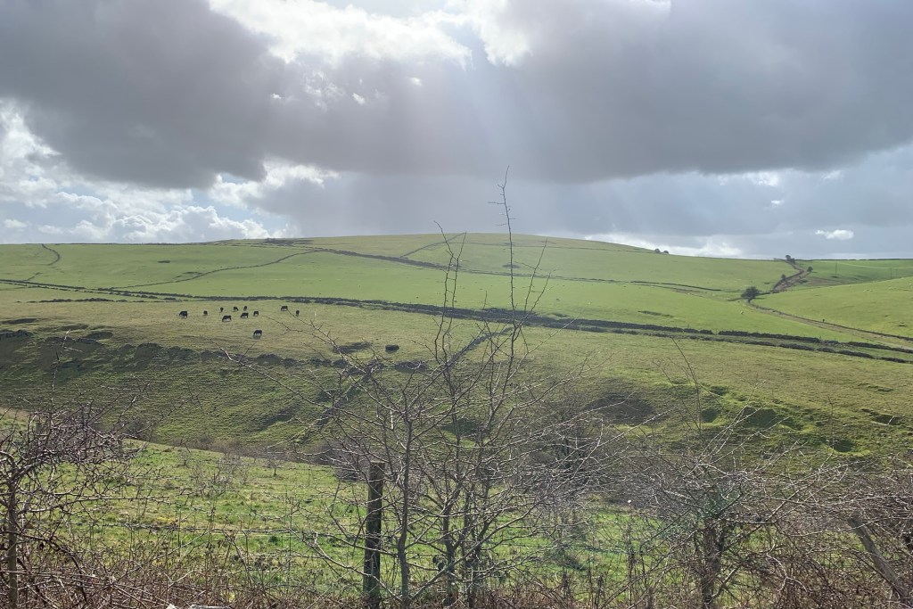
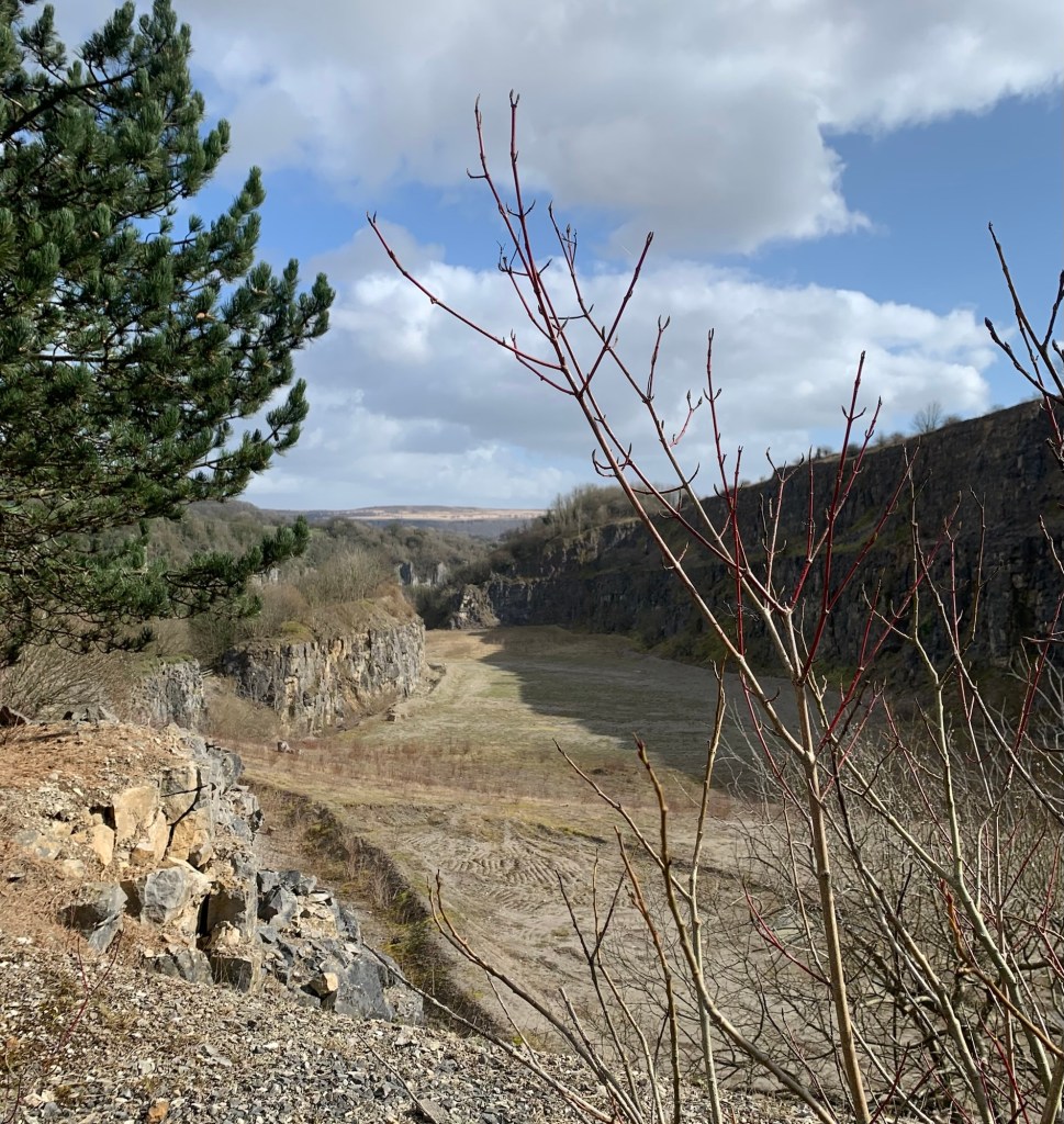
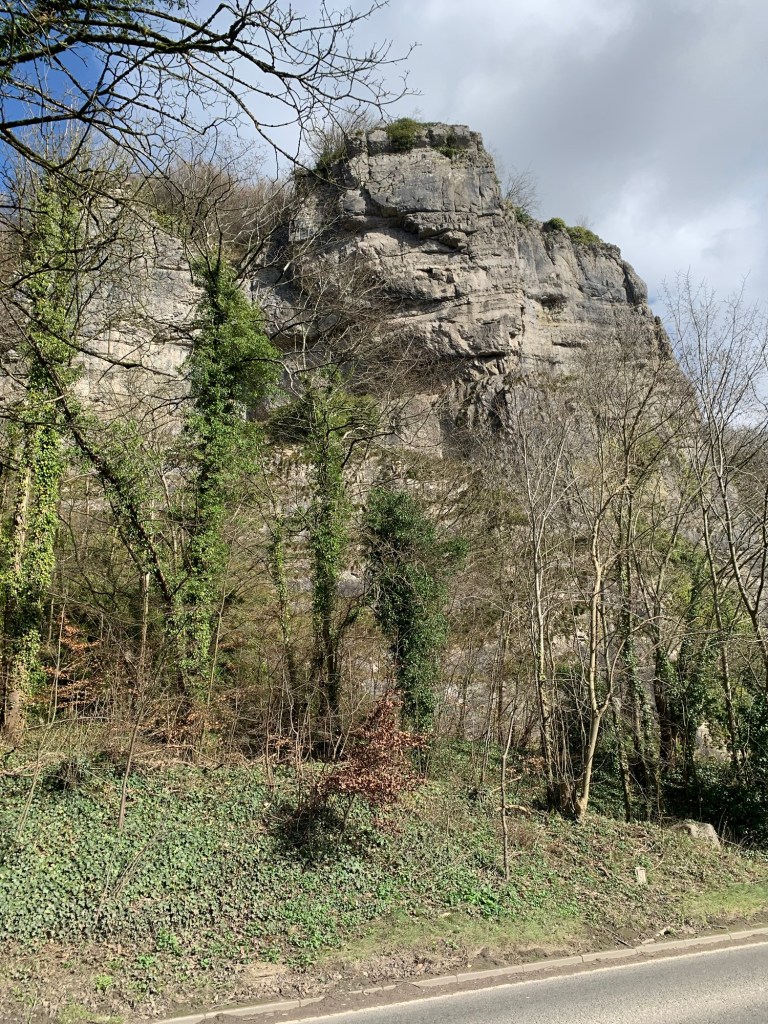
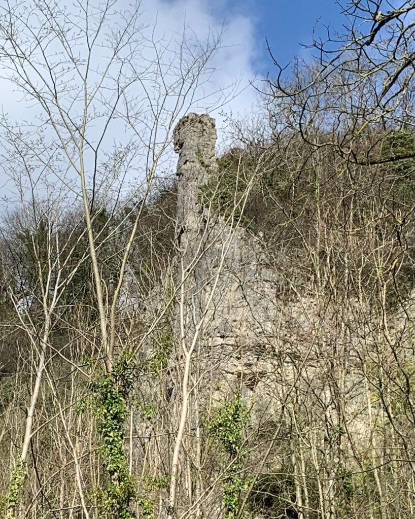
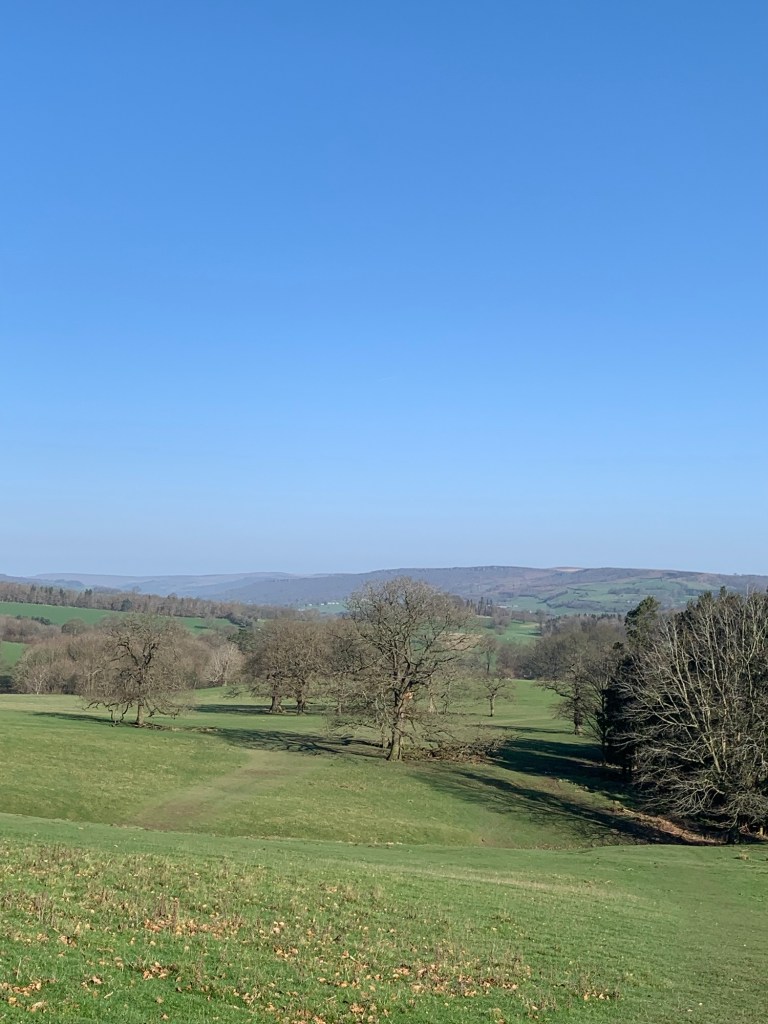
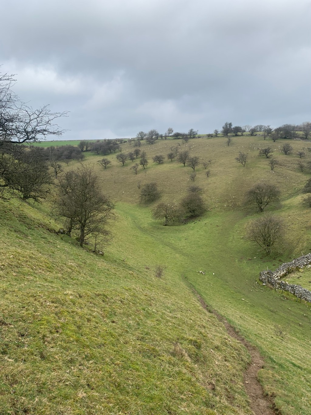
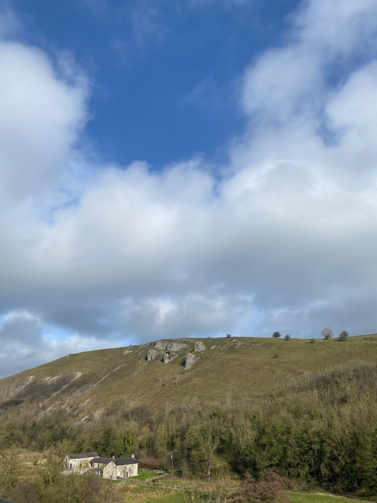
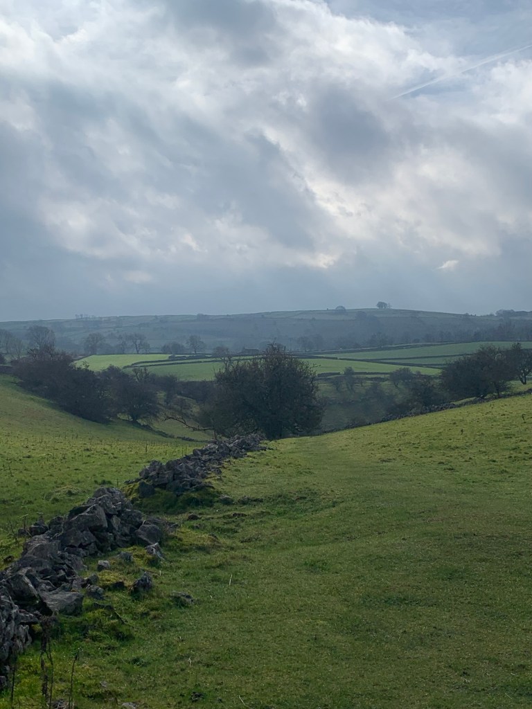
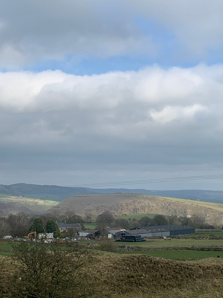
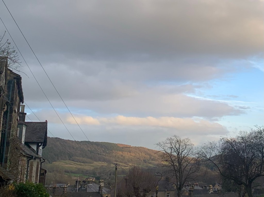
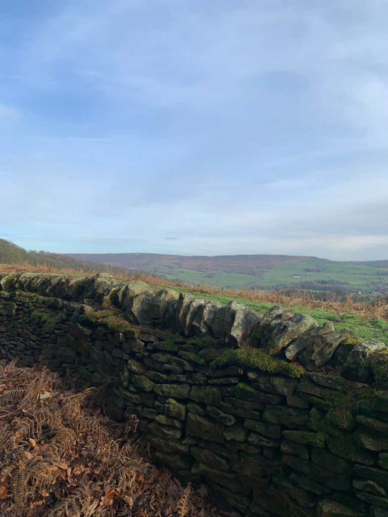
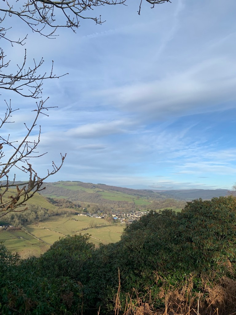
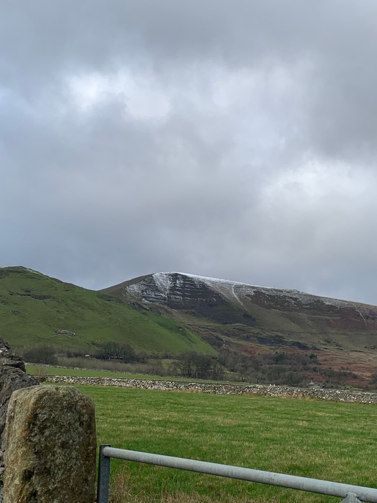
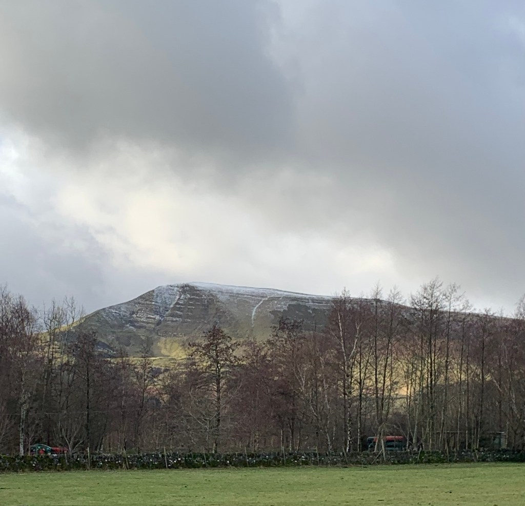
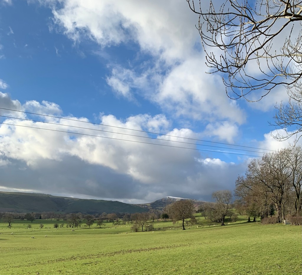
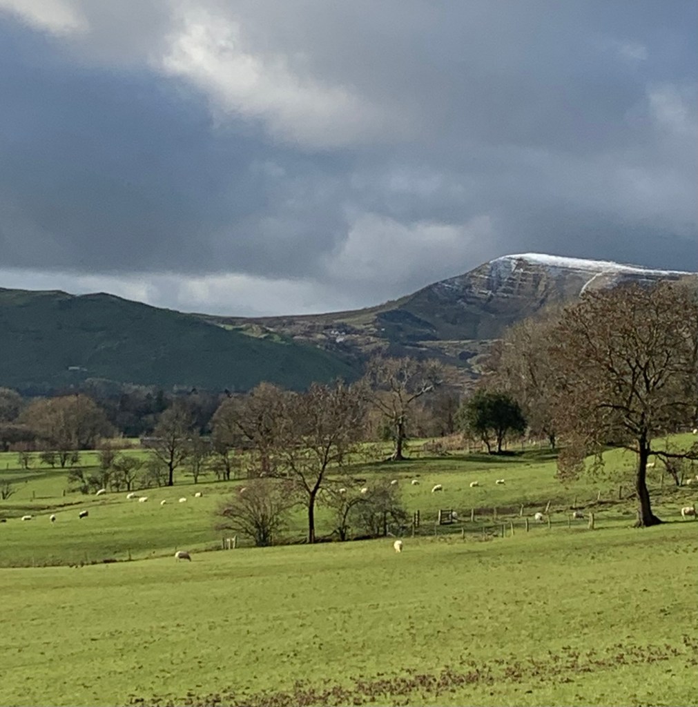
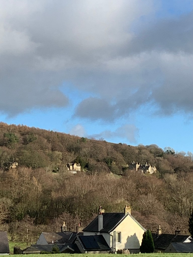
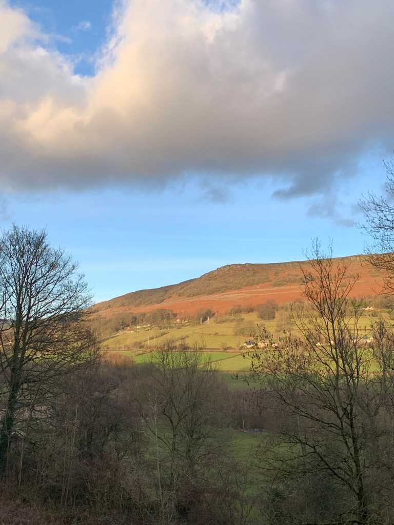
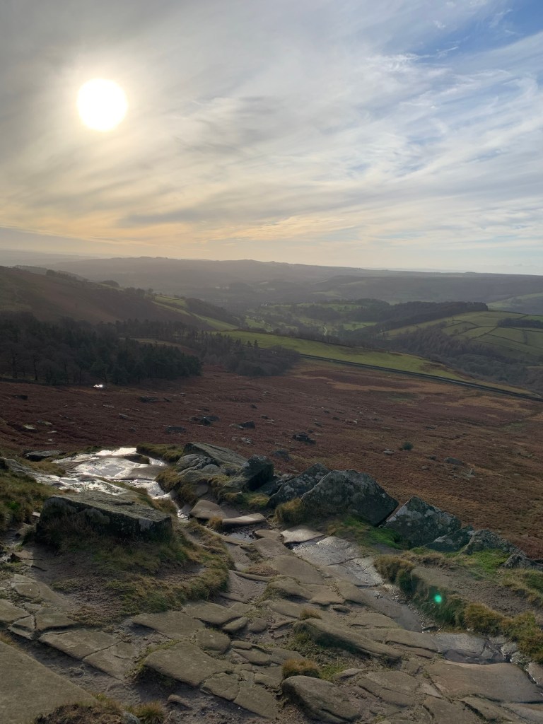
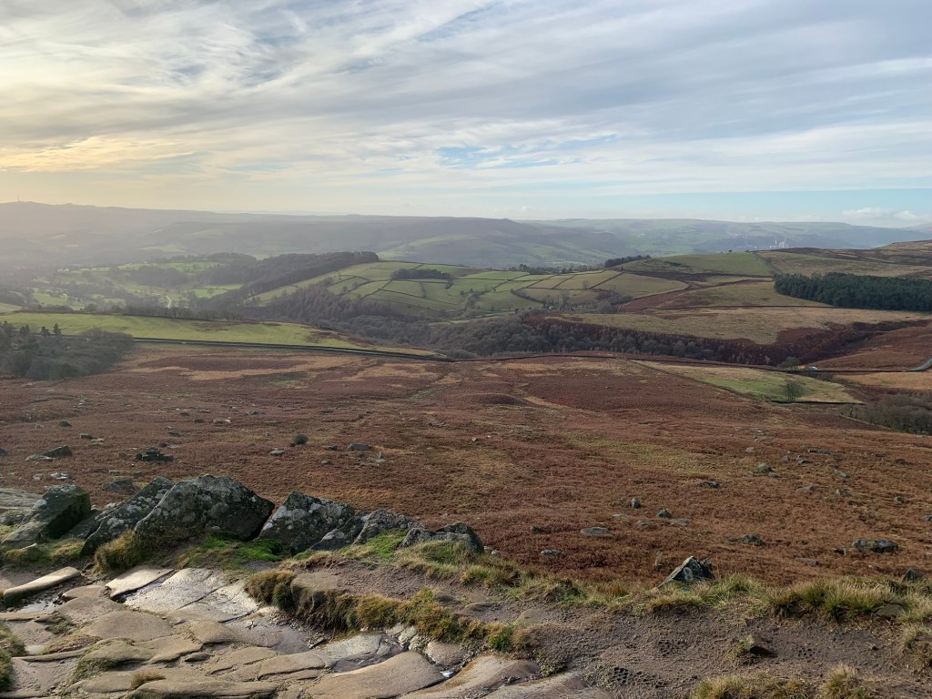
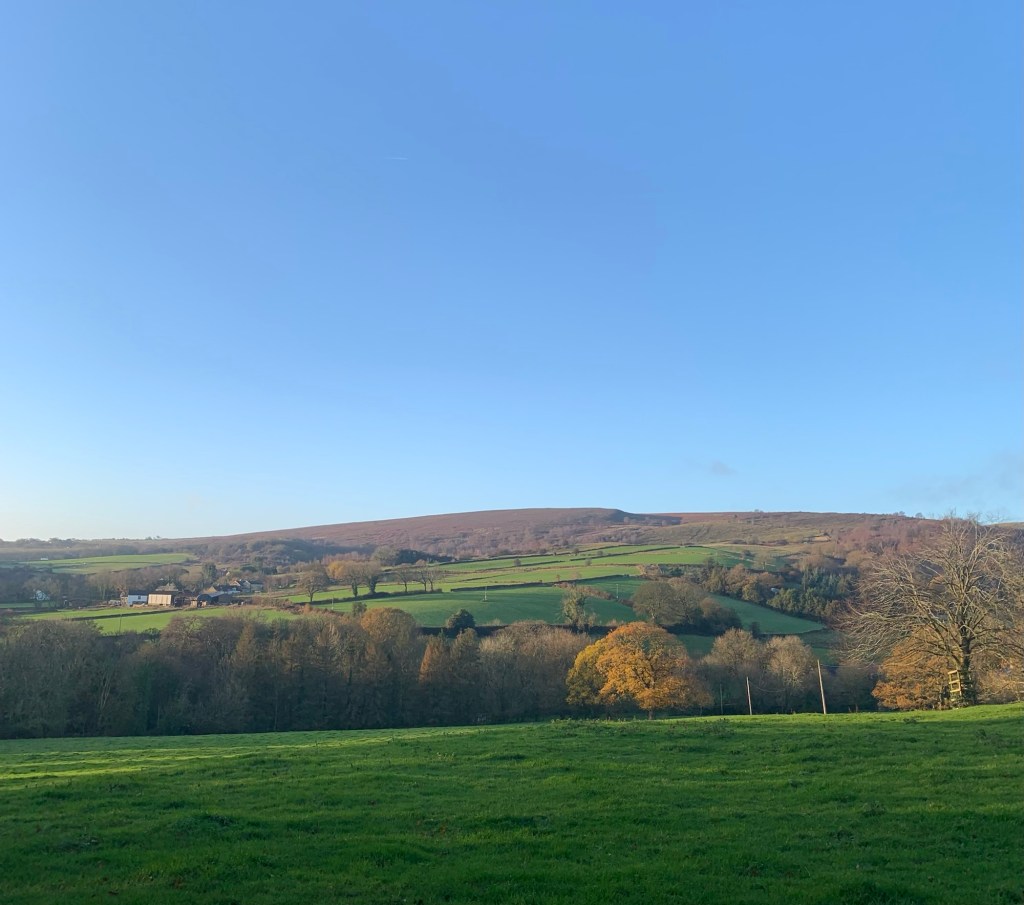
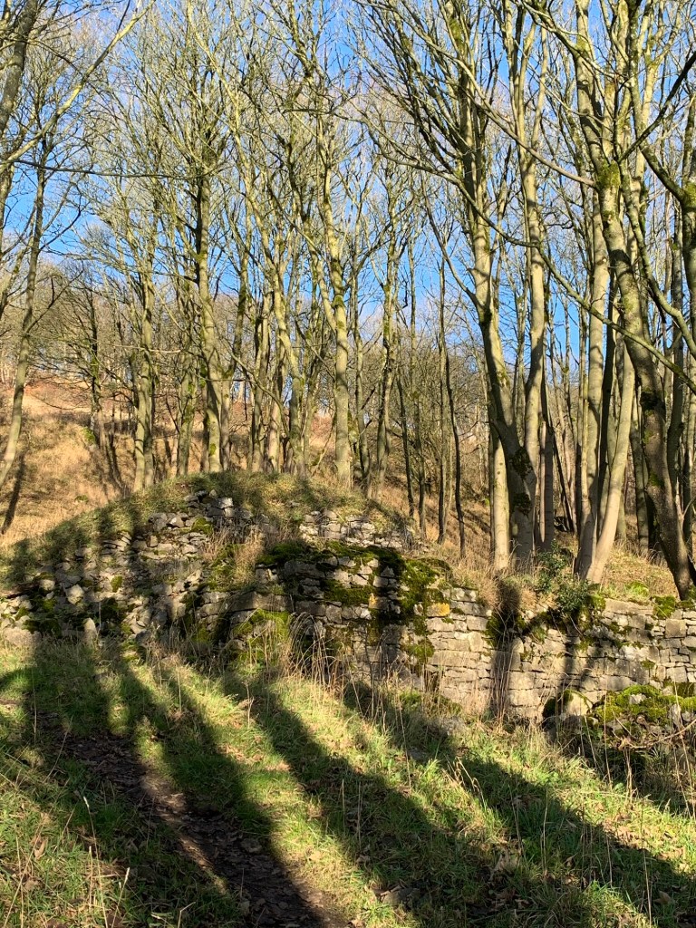
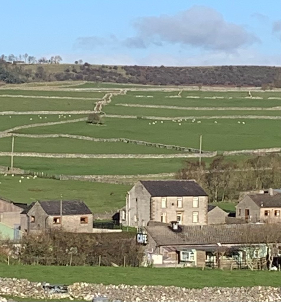
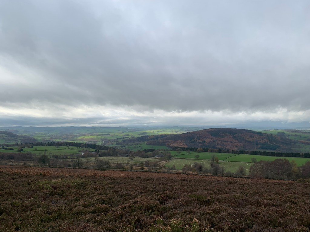
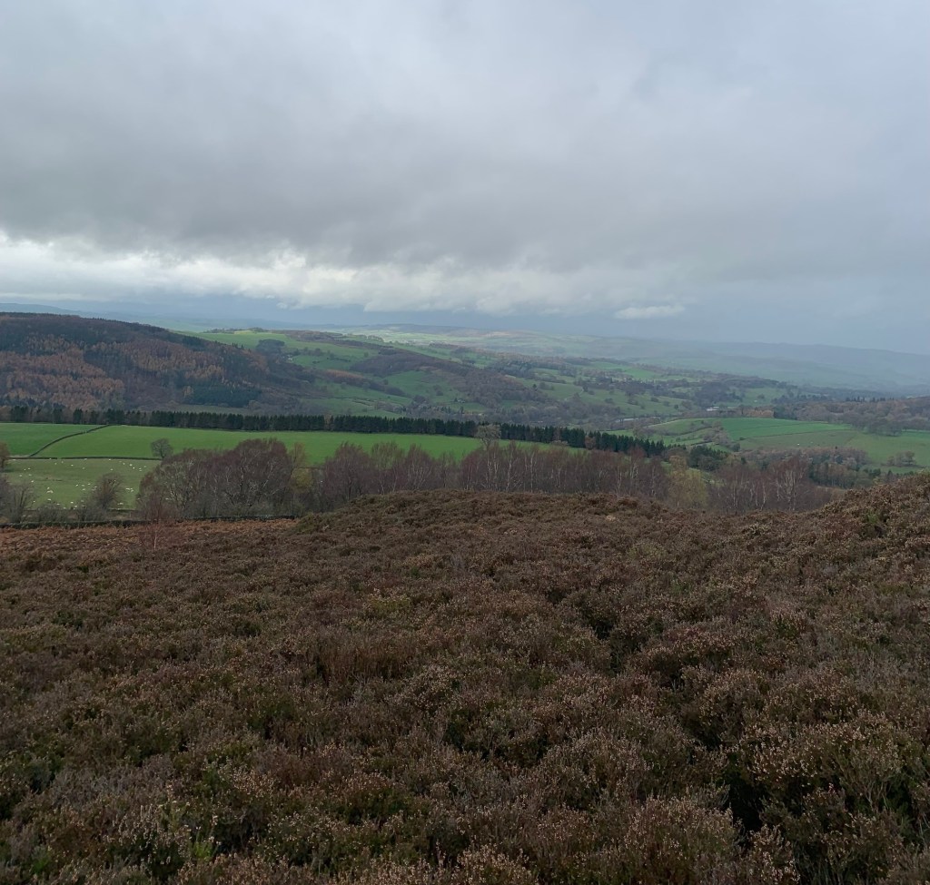
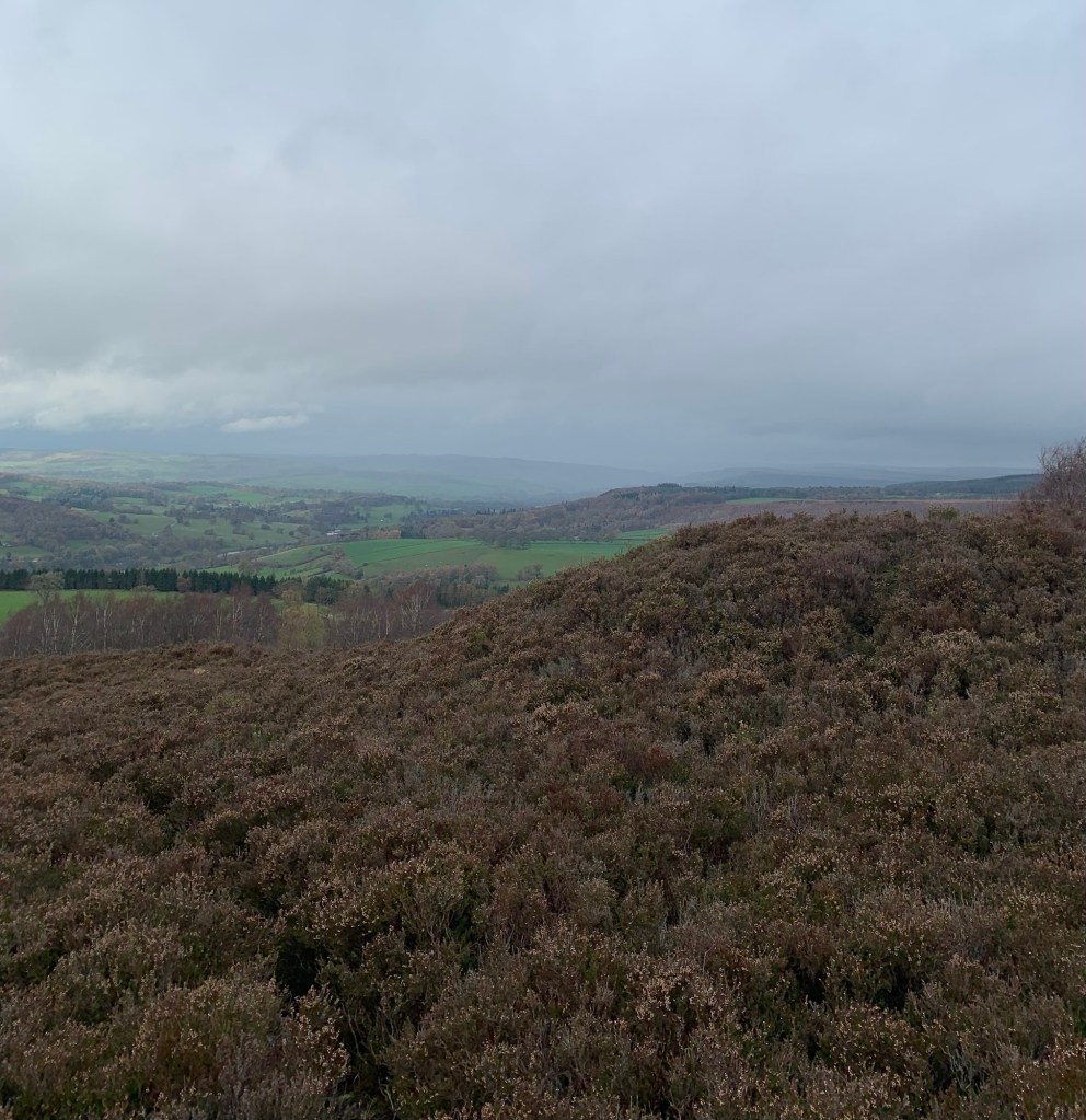
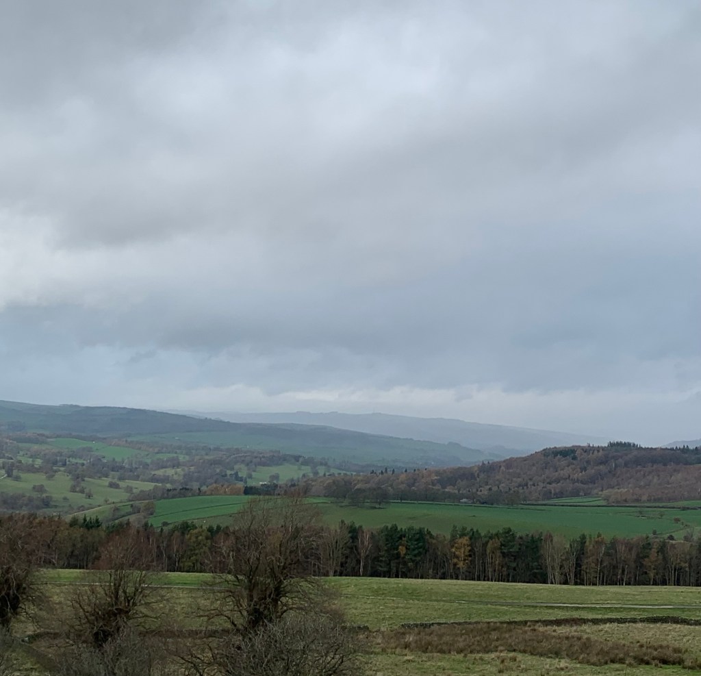
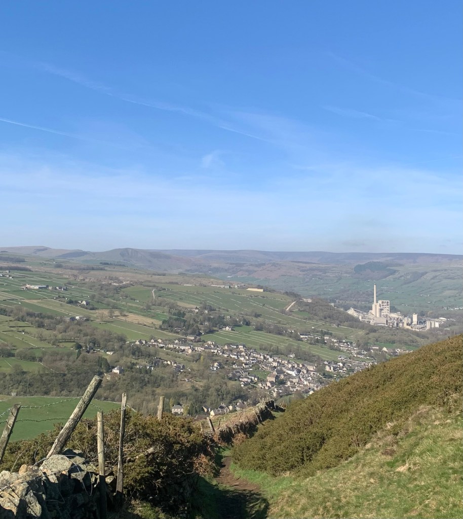
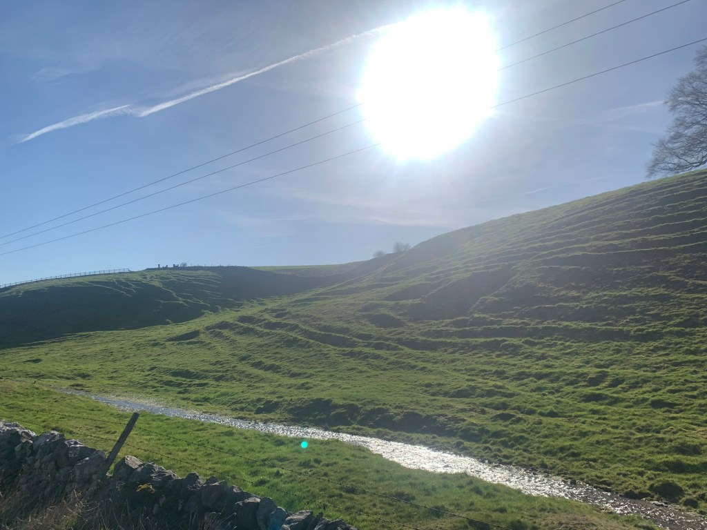
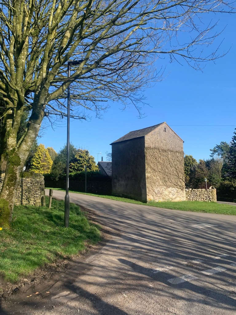
After a couple of fields the path nose dives very steeply down the valley side. The views across to Bradwell are like a historical illustration of the area showing remains of lead mining, agricultural field enclosures, quarries and the cement works. And in case the geographers feel left out, on our left we manage an almost bird’s eye view of Bradwell Dale with its wide upper basin funnelling into a narrow gorge like section before reaching the edge of the village.
For a full and fascinating account of all aspects of Bradwell I recommend the following:
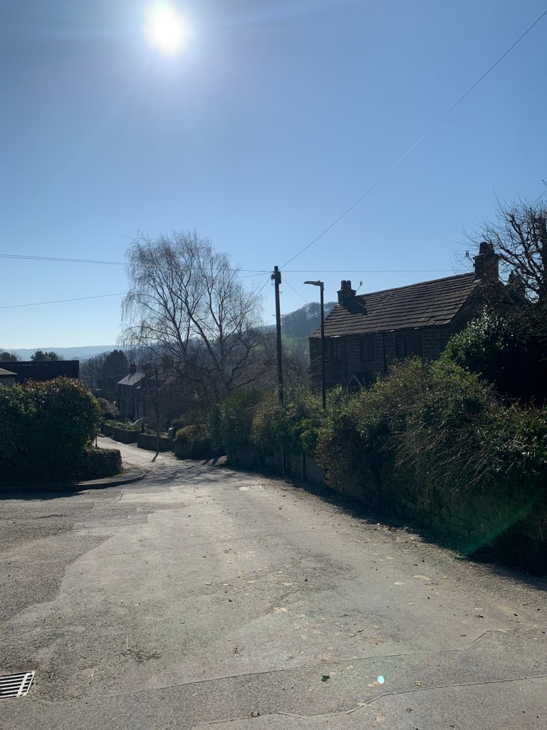
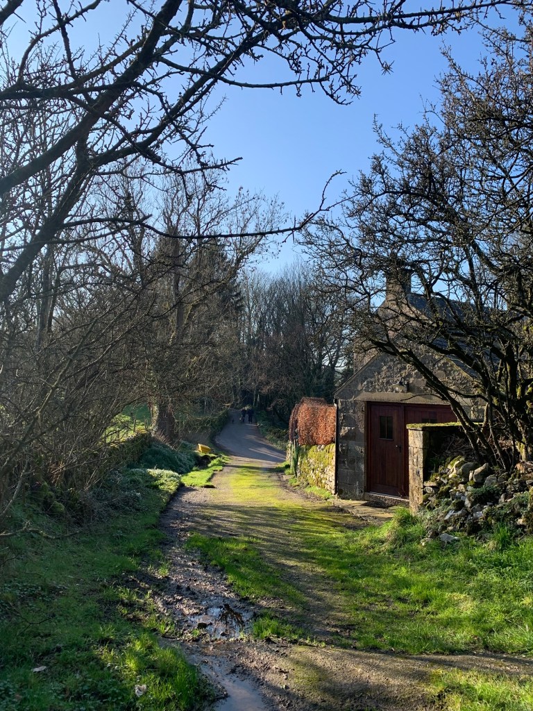
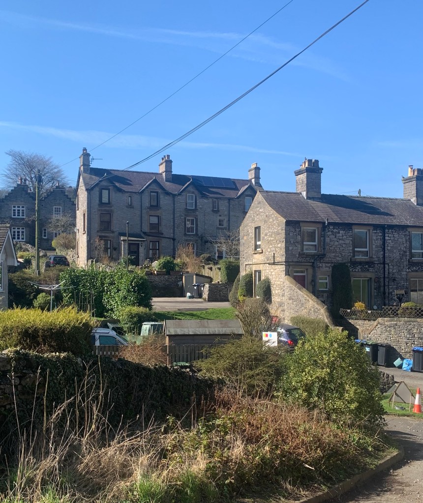
Eventually the path emerges onto a tarmac lane and we’re still heading downhill although a little less steeply now,
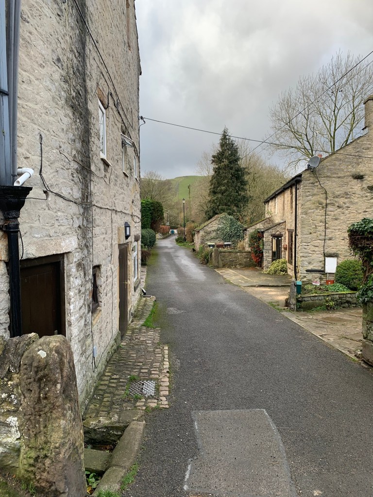
and then we come into the first cluster of houses of the village.
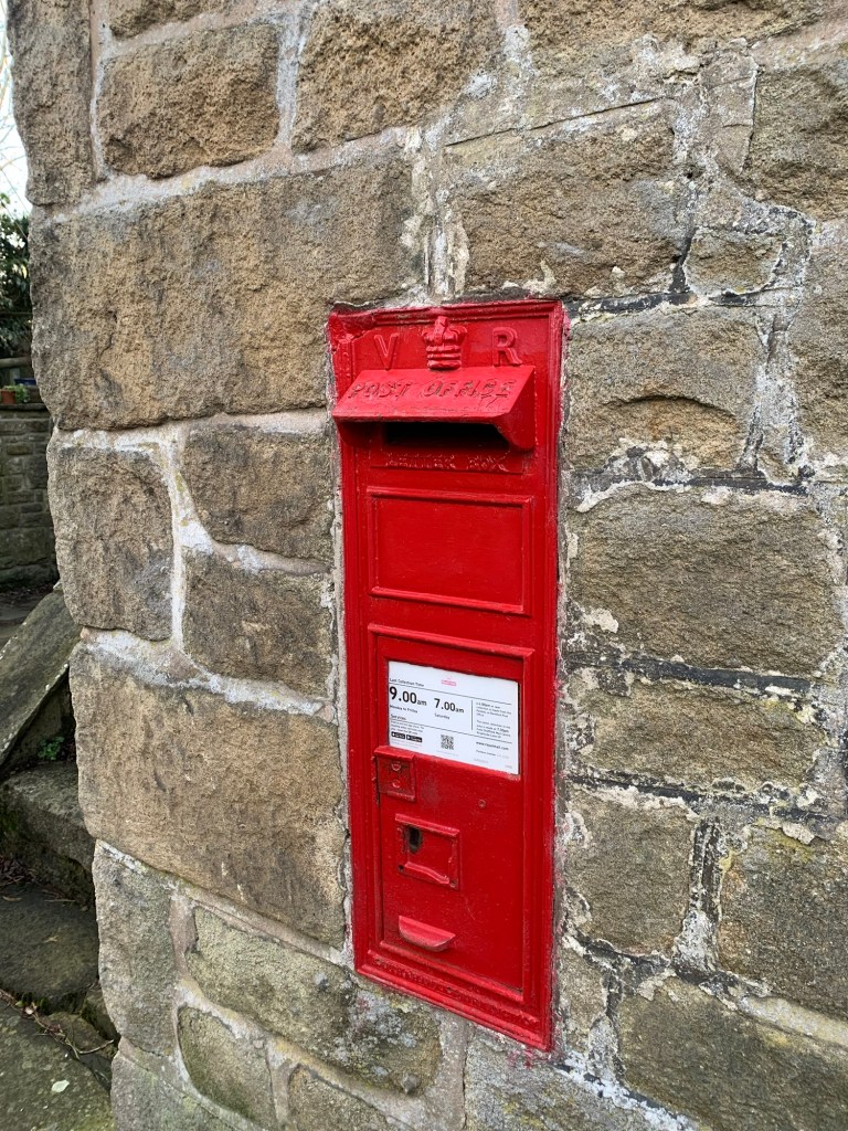
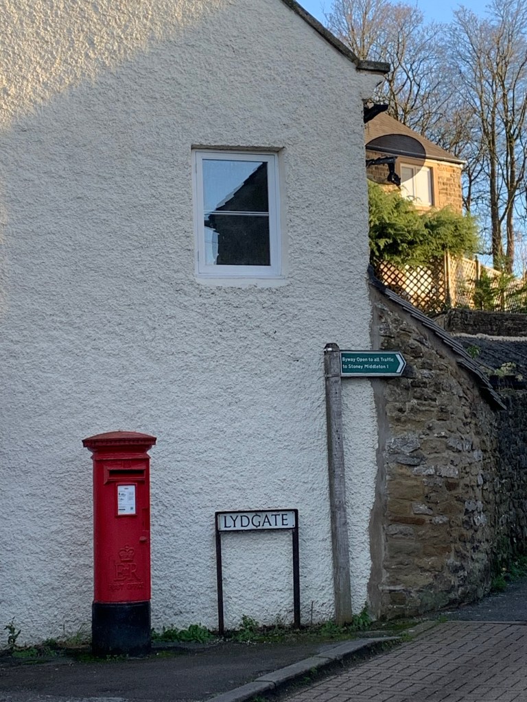
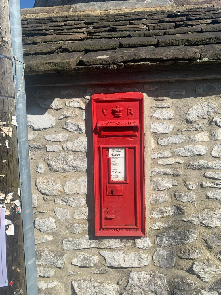
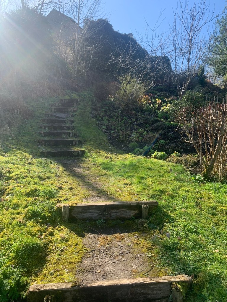
We pass a Queen Victoria post box ( always worth a mention) before descending some ancient looking steps.
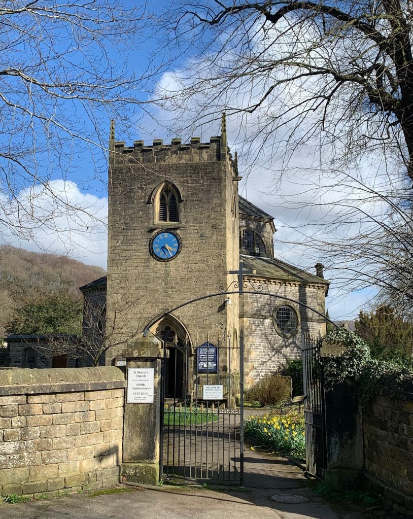
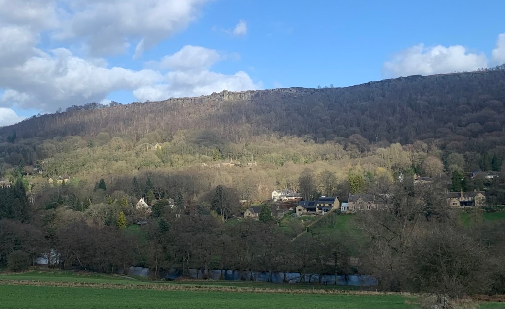
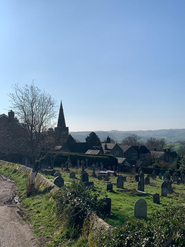
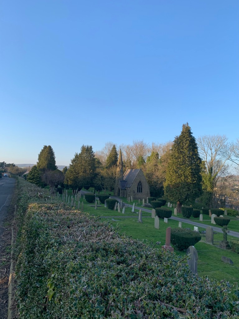
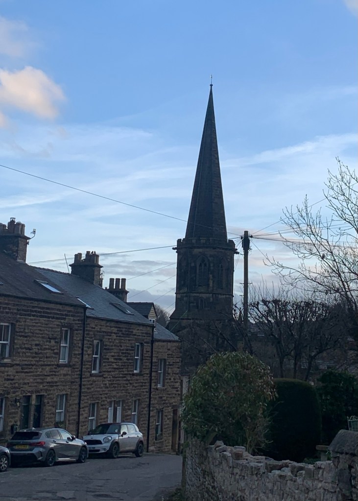
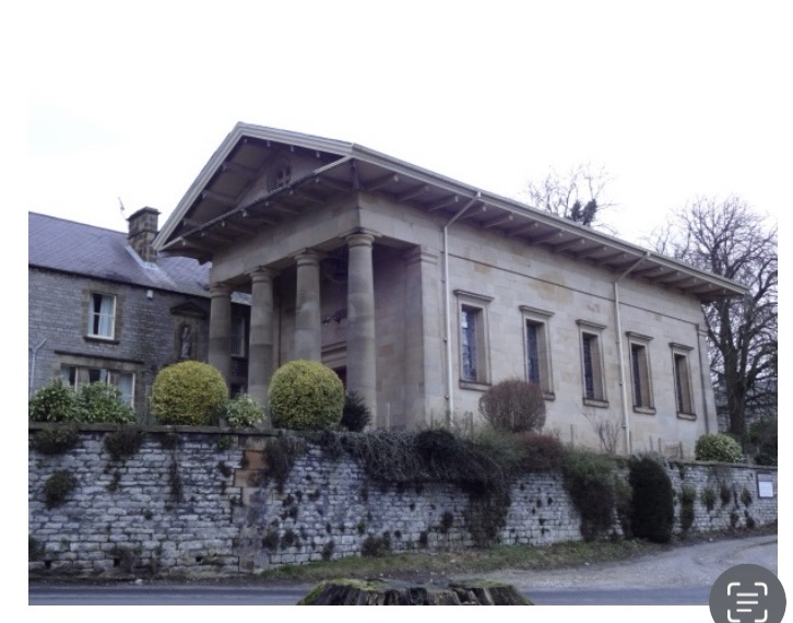
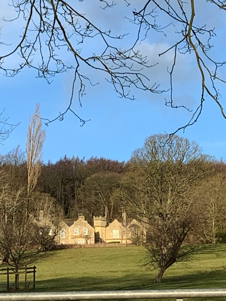
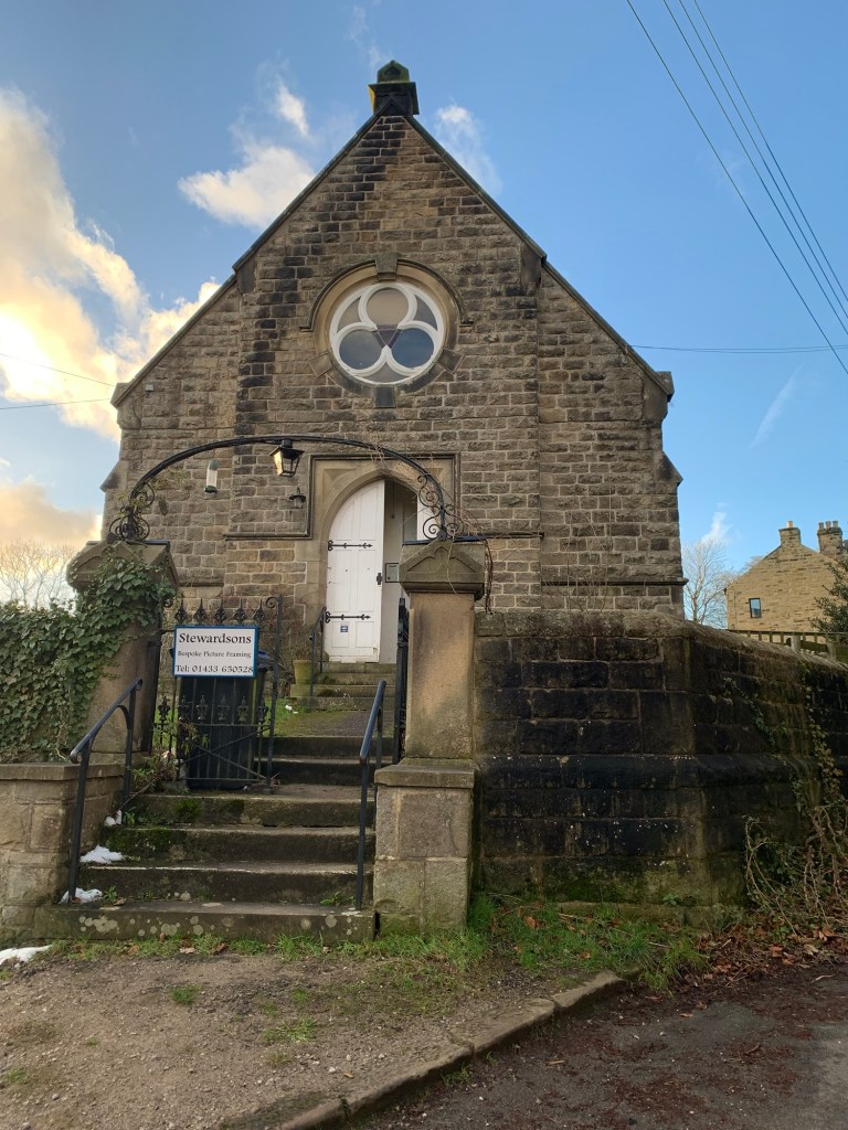
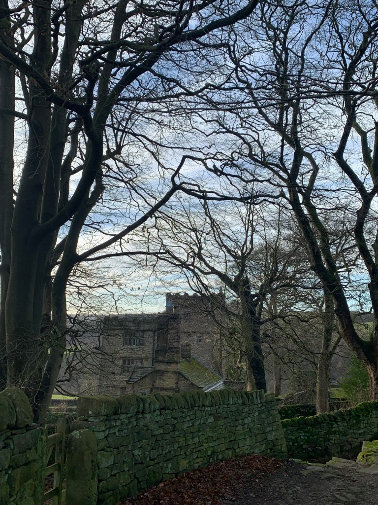
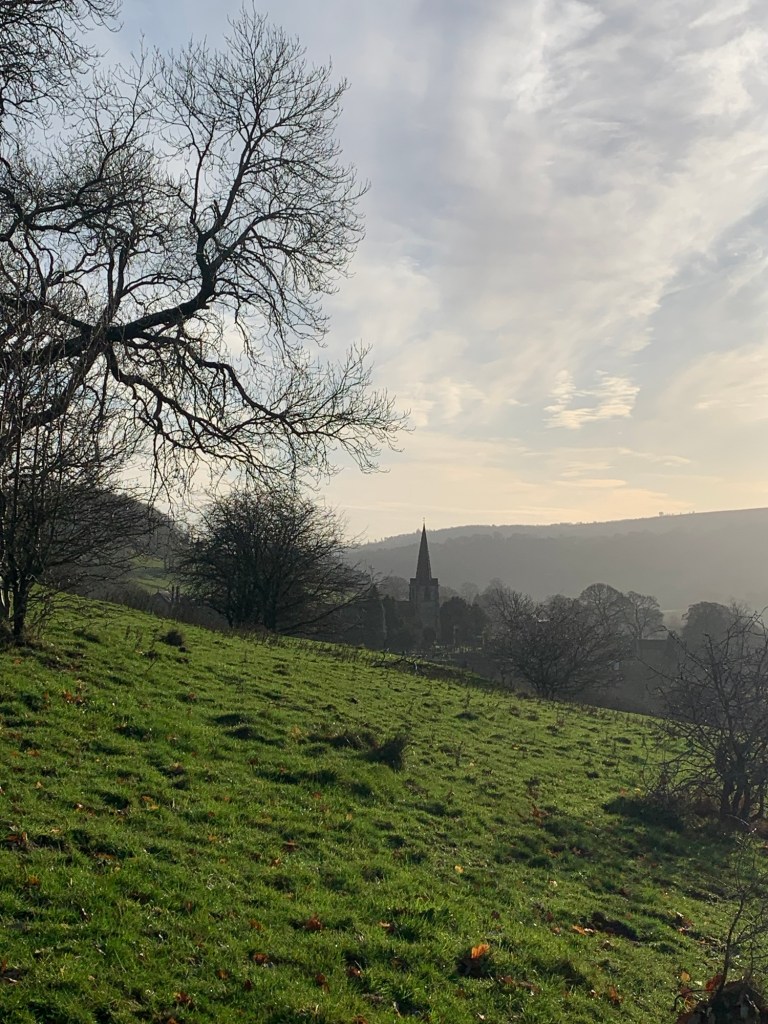
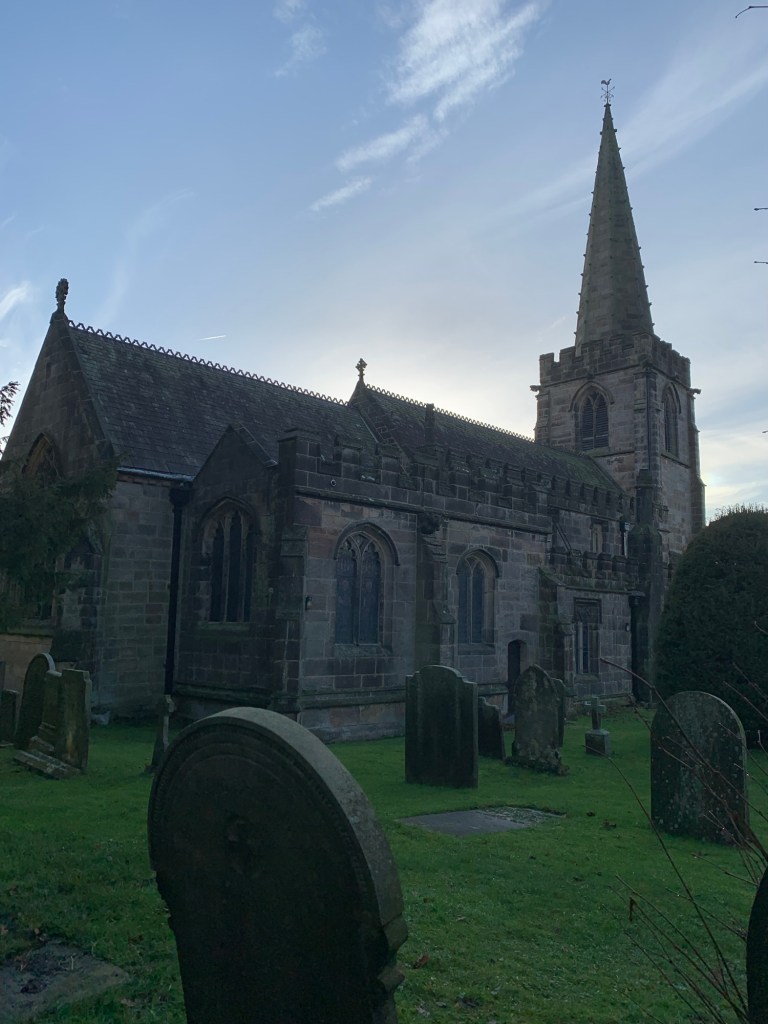
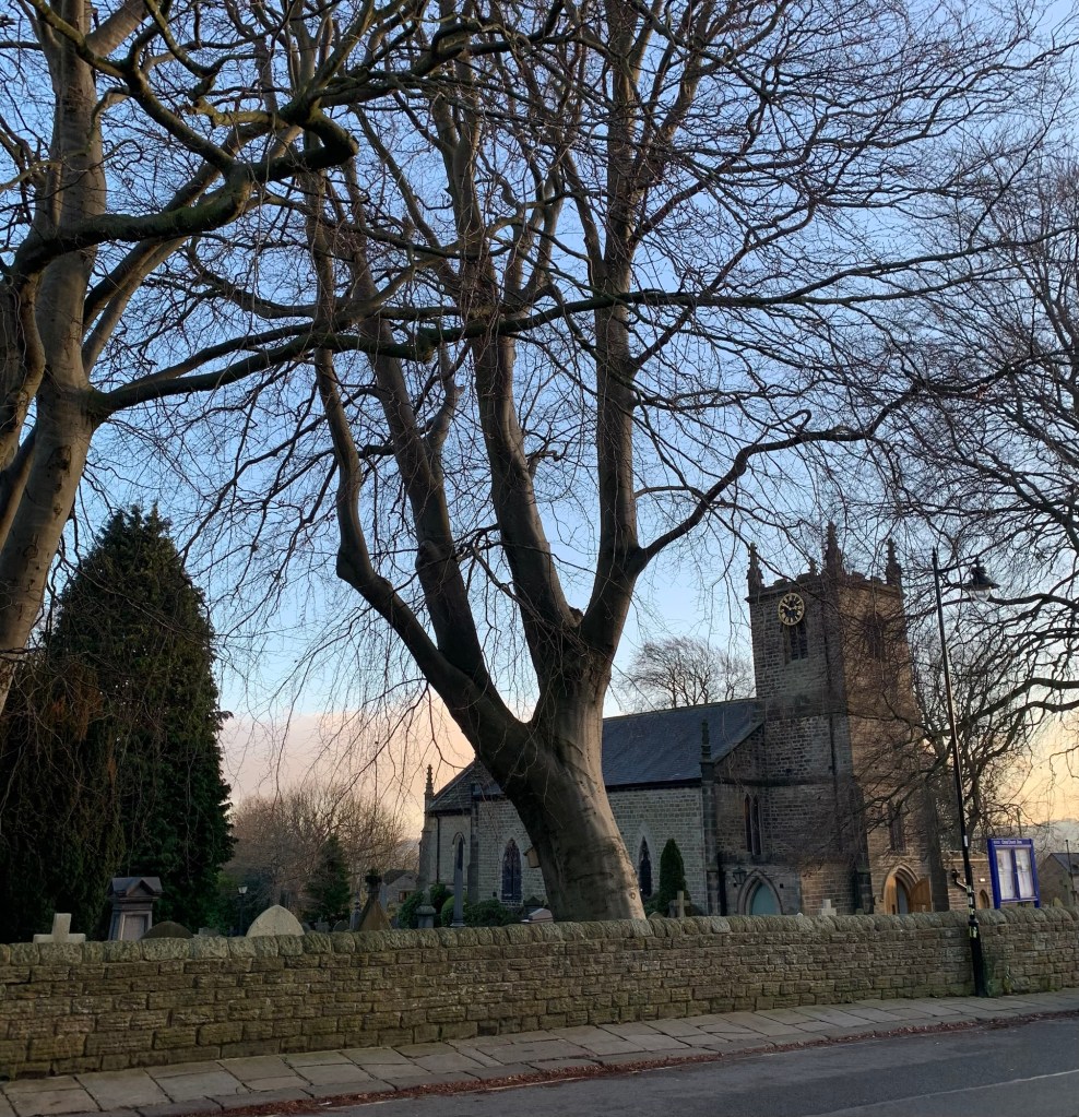
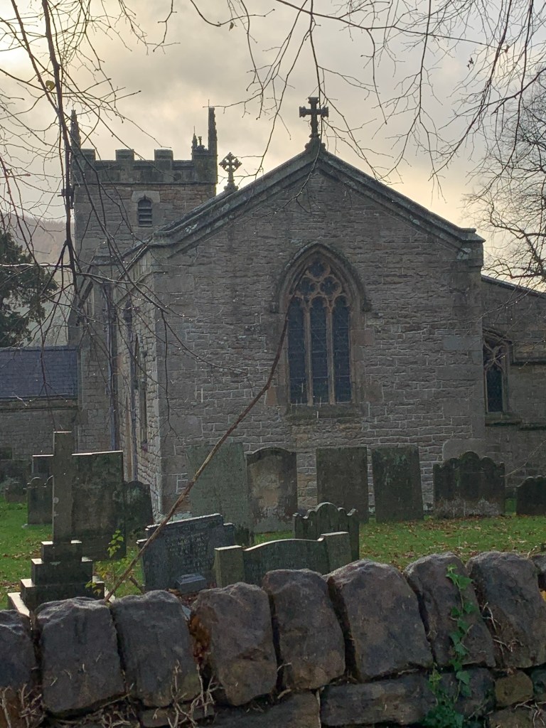
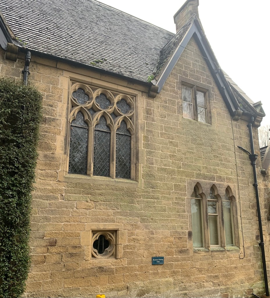
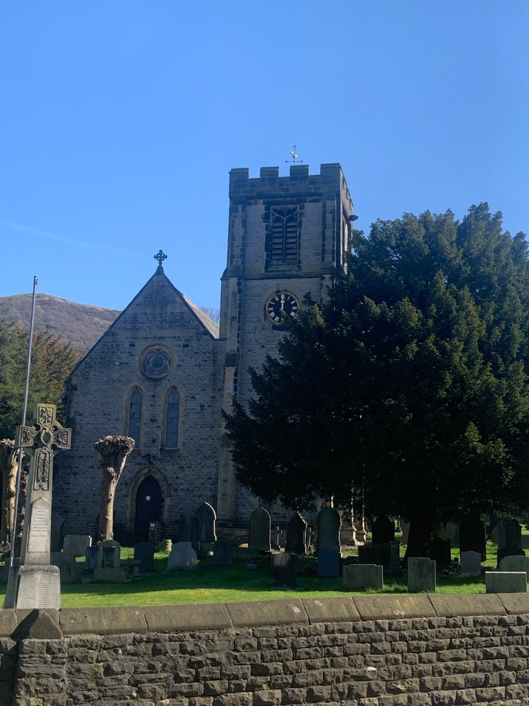
Once on the main thoroughfare we turn right past the church which is looking very pretty today
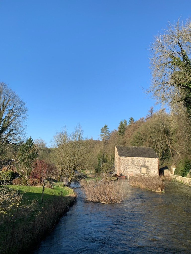
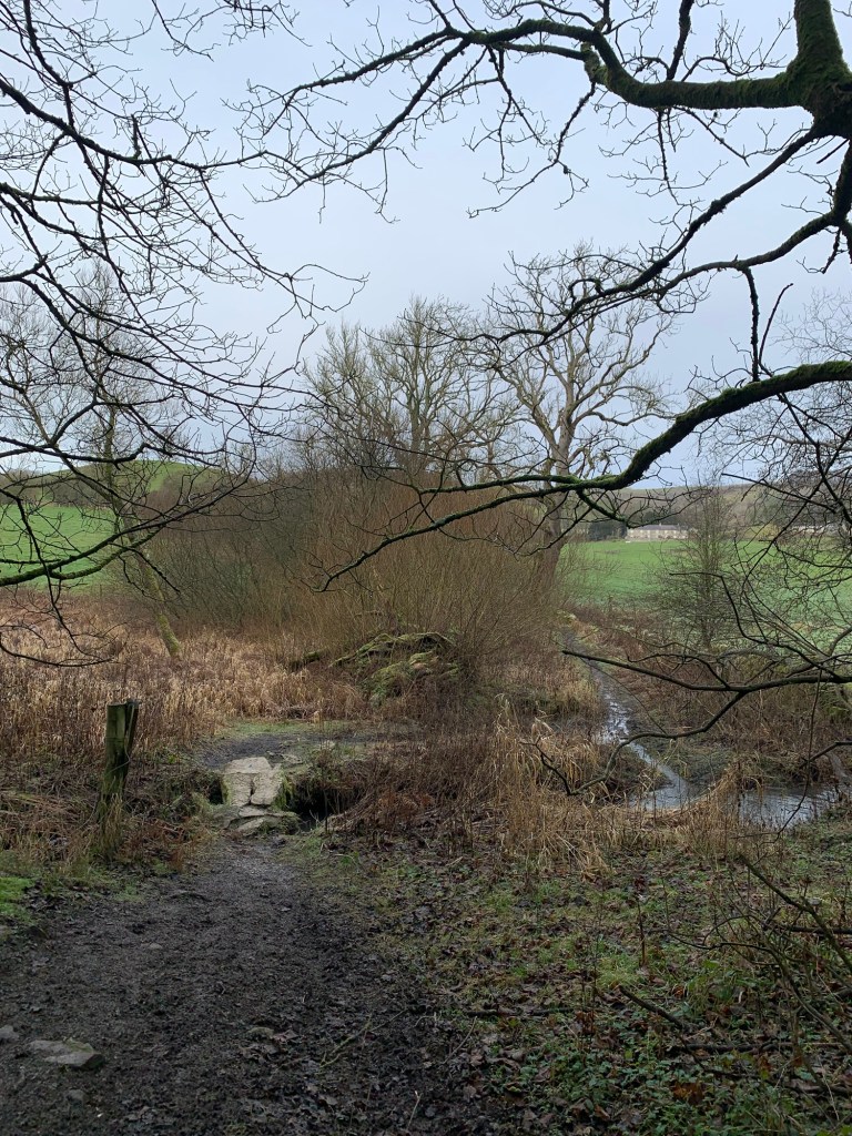
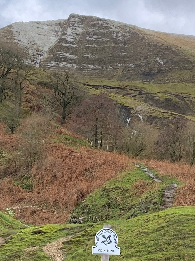
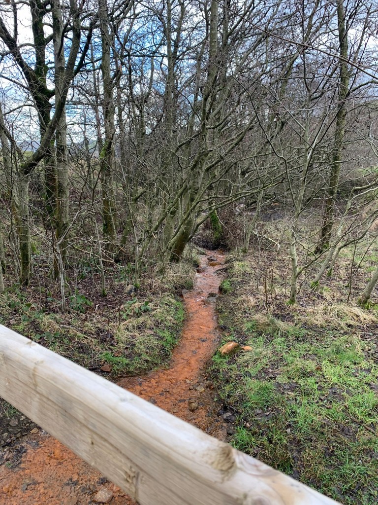
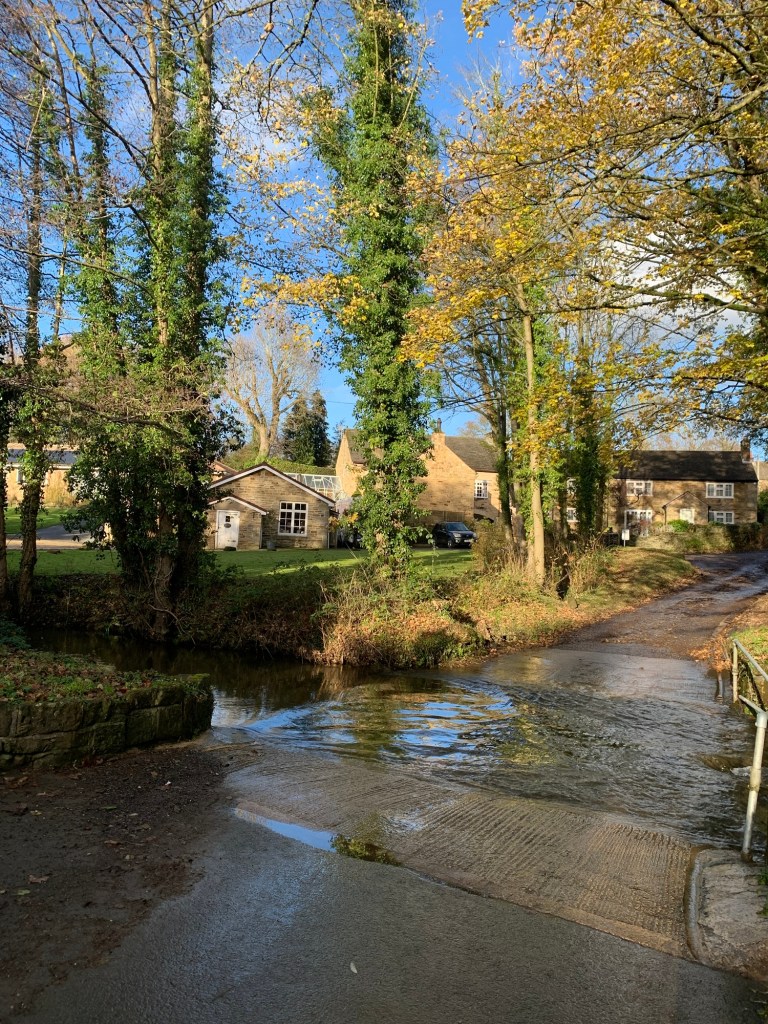
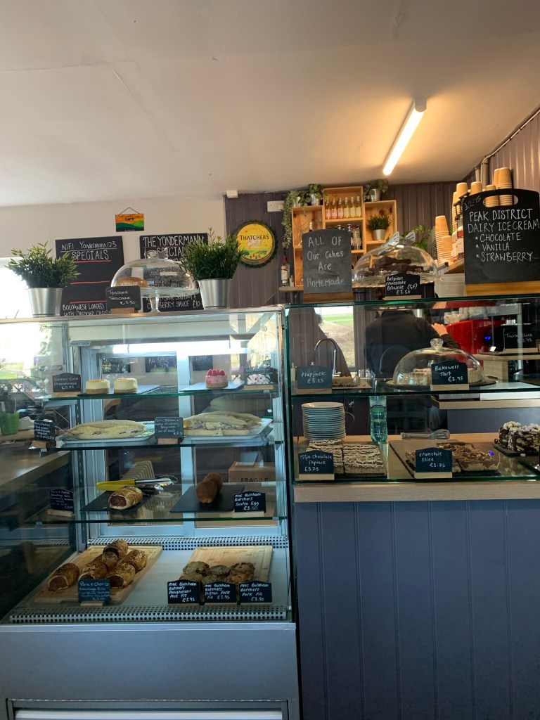
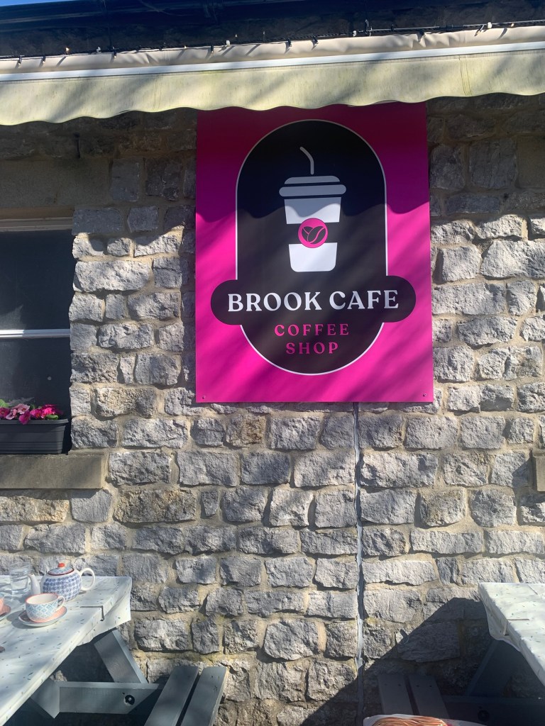
and then left to the Brook Cafe which is, surprise surprise, next to the Bradwell Brook.
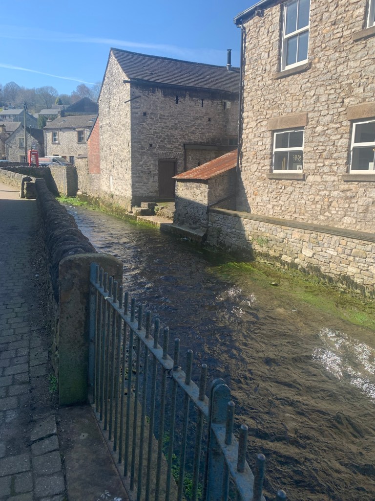
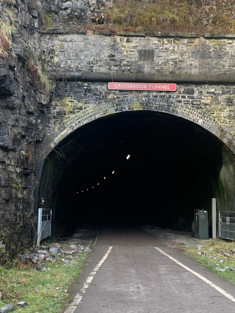
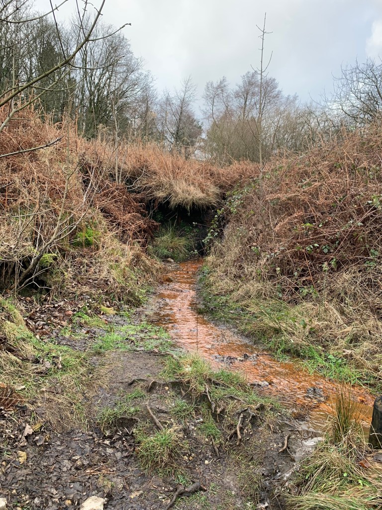
This stream flows through the village having just emerged from part of the Bagshawe Cave, ( a system which comprises a mix of old lead mining and natural caverns) just on the edge of the village.
It’s a treat to sit outside in the sun for our pot of tea, in fact it’s so warm that some kiddiwinks are even paddling in the stream.
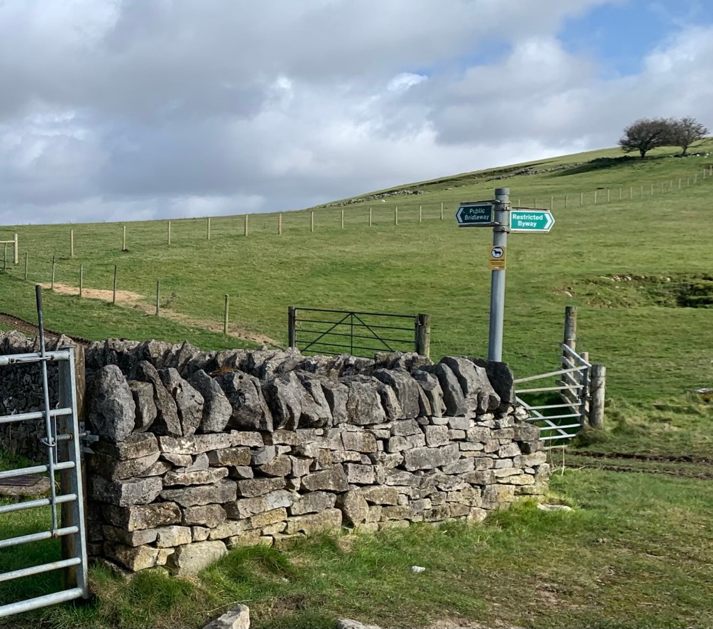
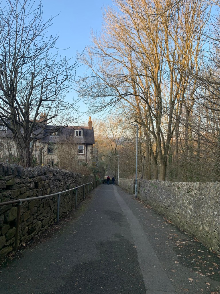
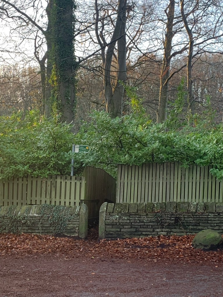
Once refreshed we head back up through the village along Brookside, the road on the other side of the brook, until we see a finger post on our right
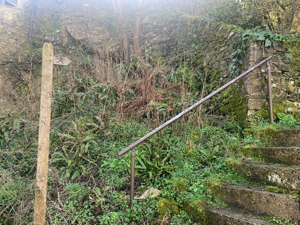
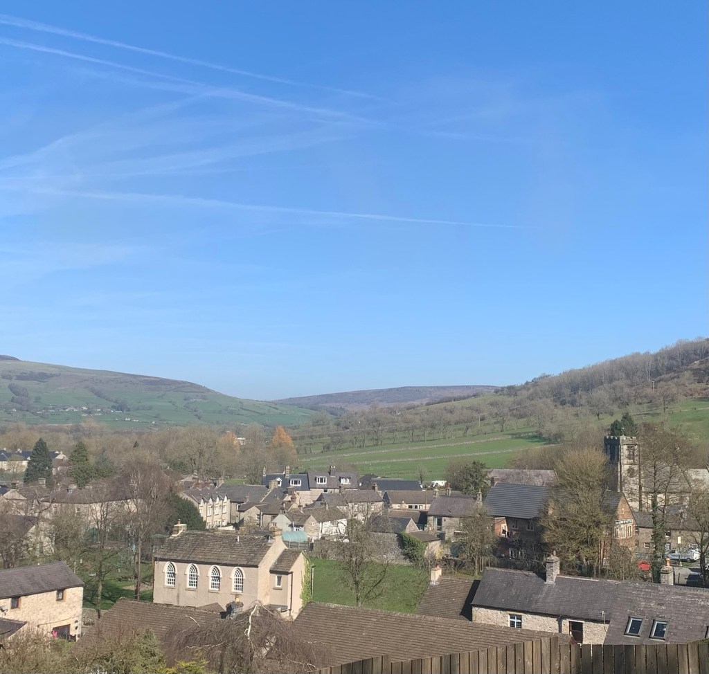
leading us up a steep path with steps ( and interesting views back of the village)
and out onto the ominously named Hungry Lane.
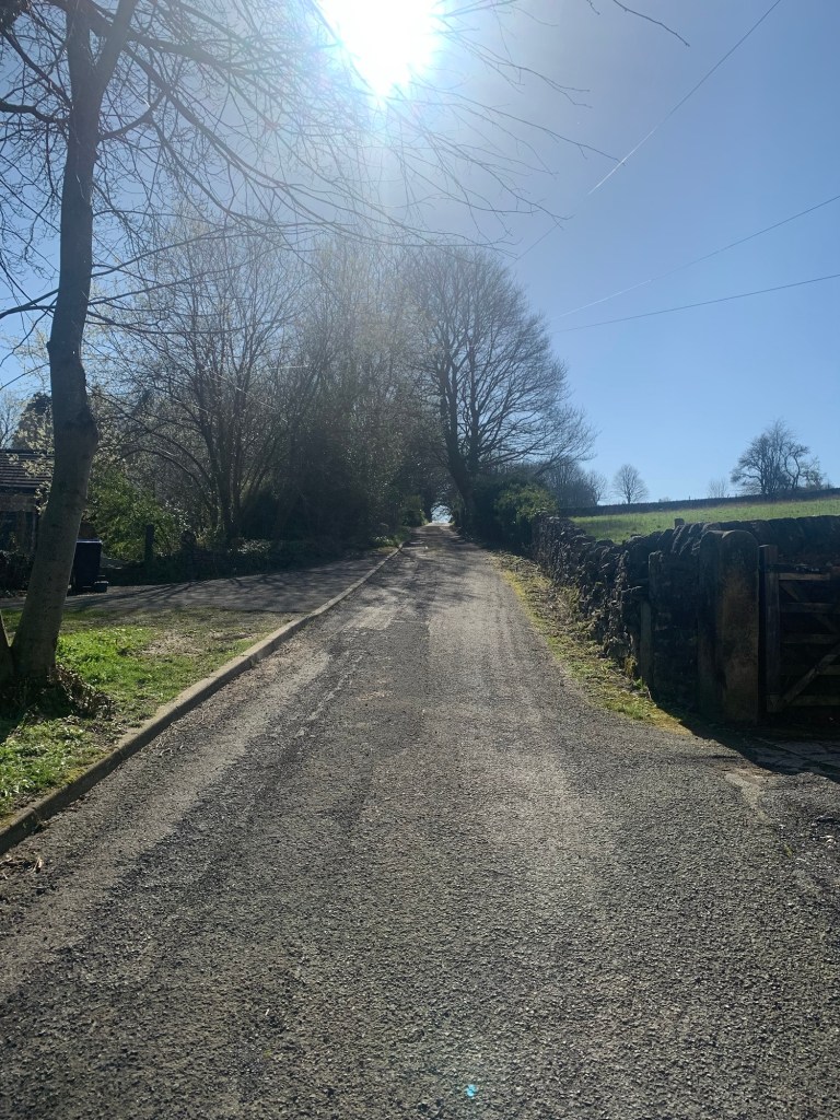
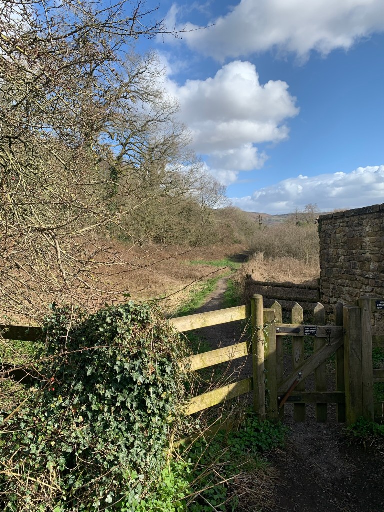
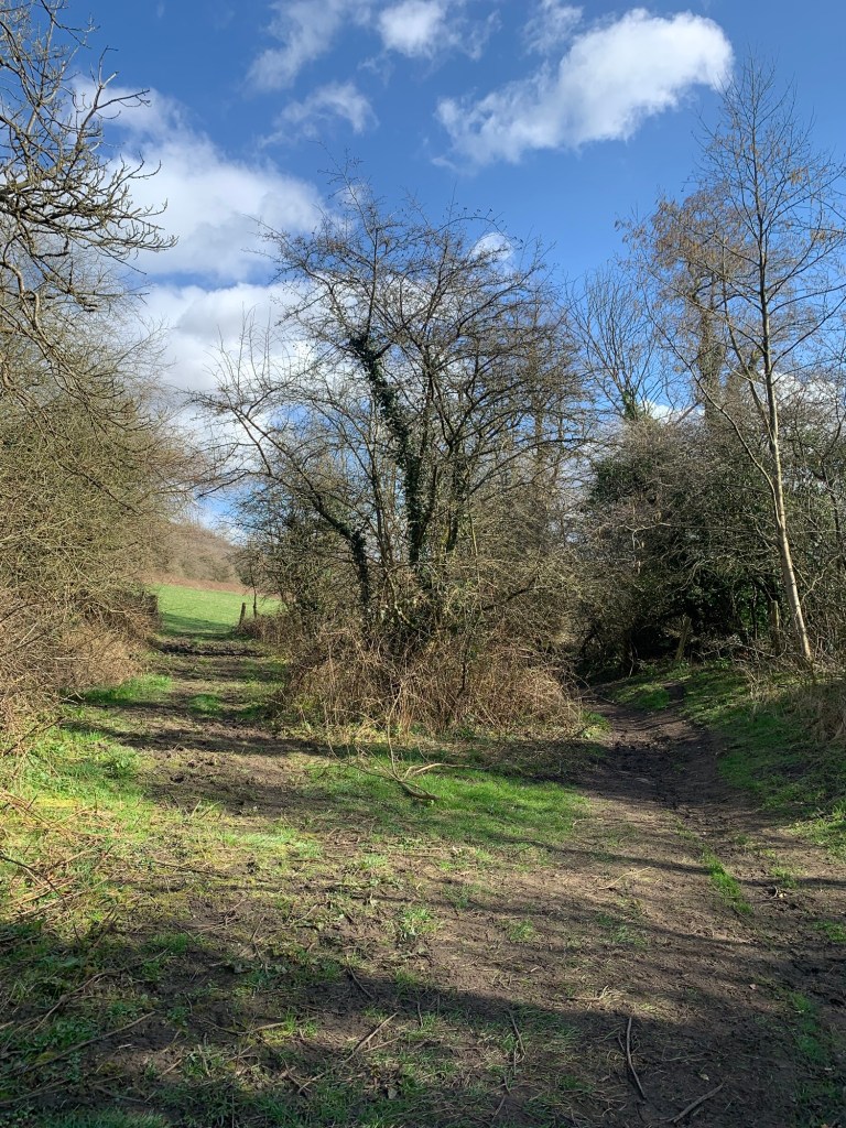
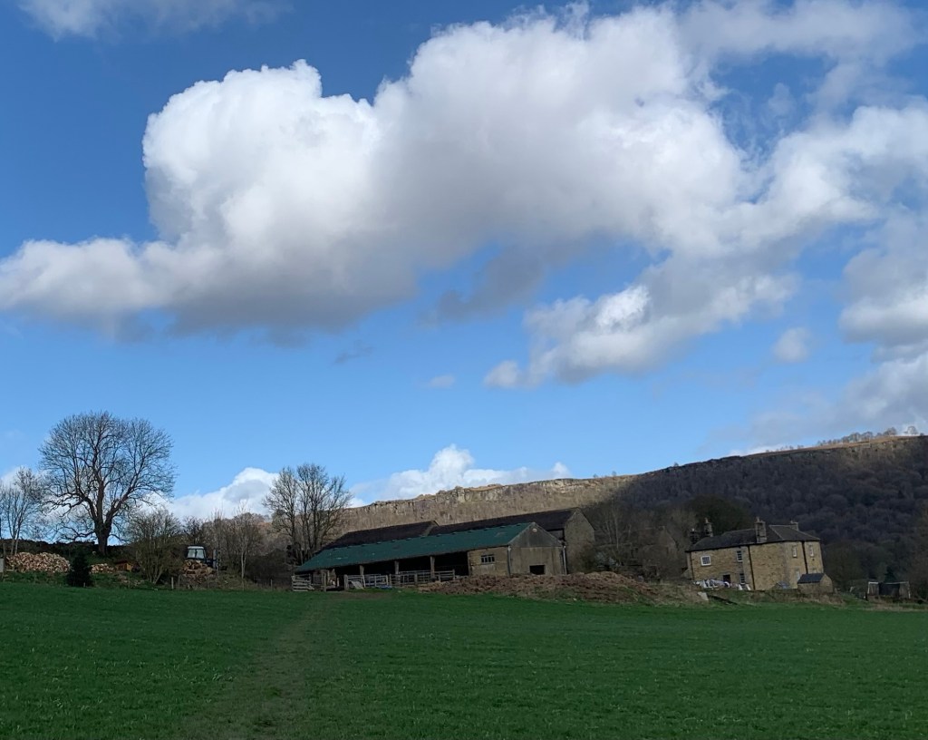
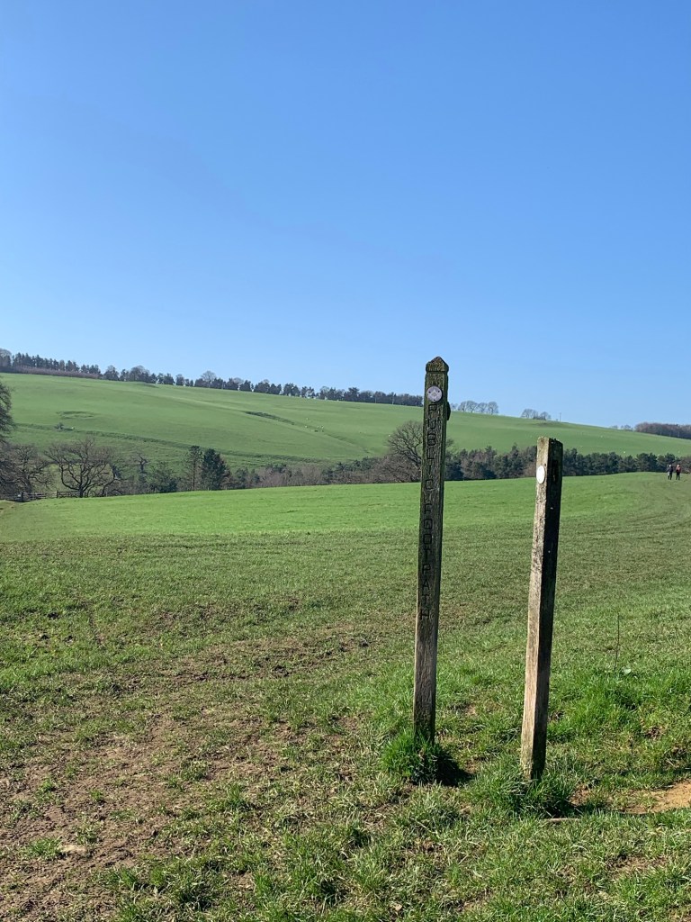
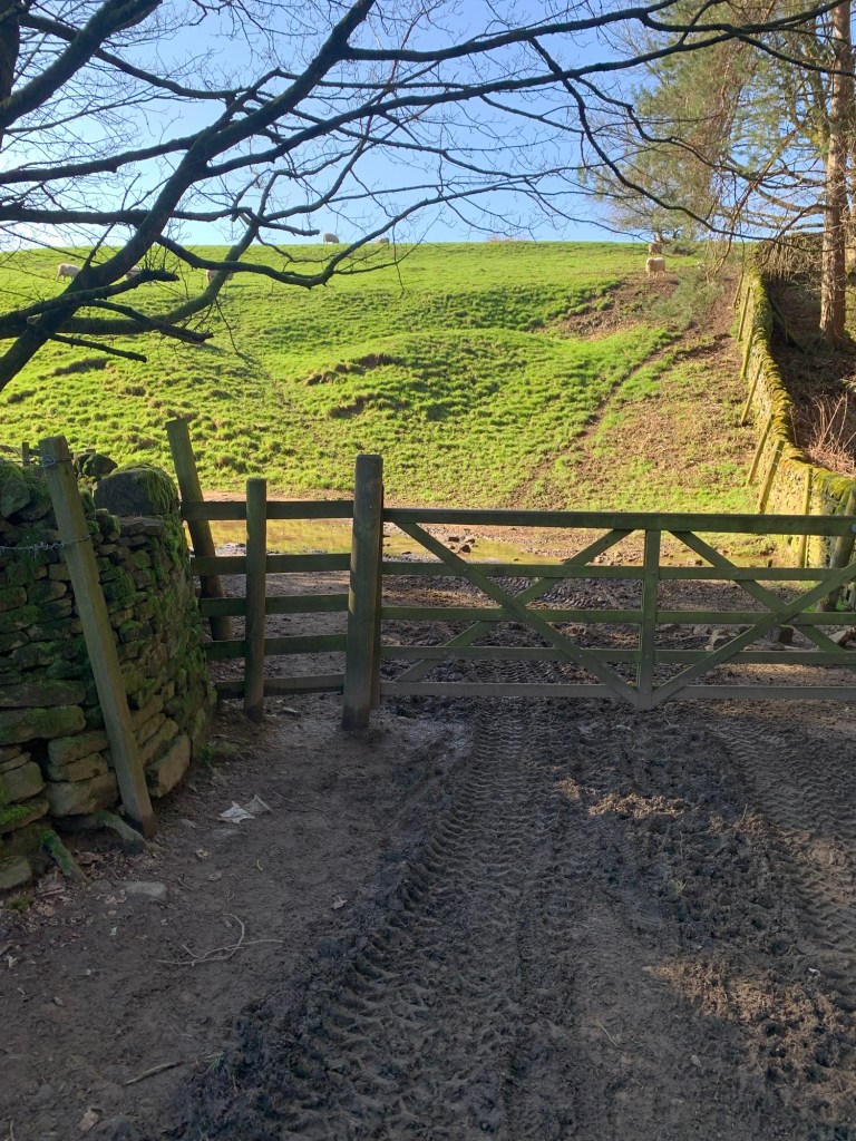
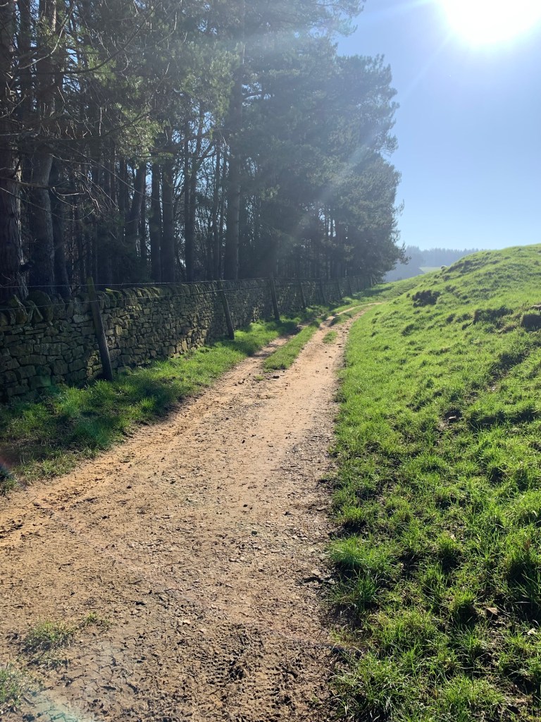
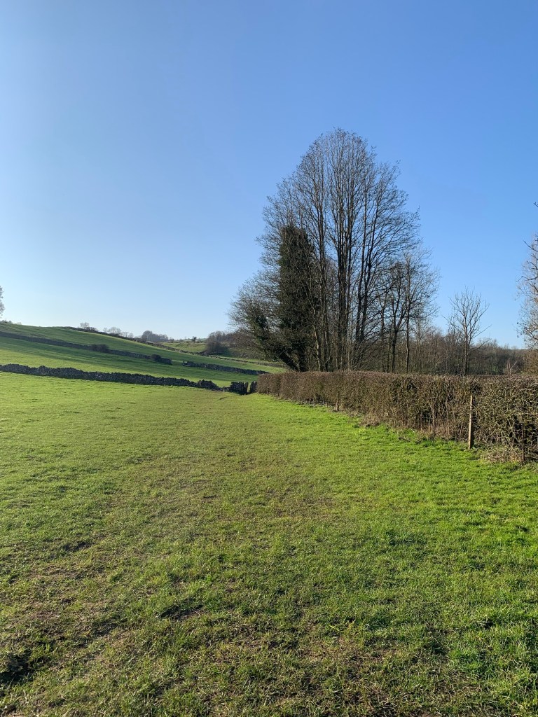
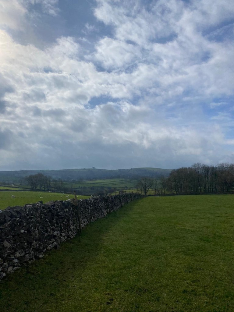
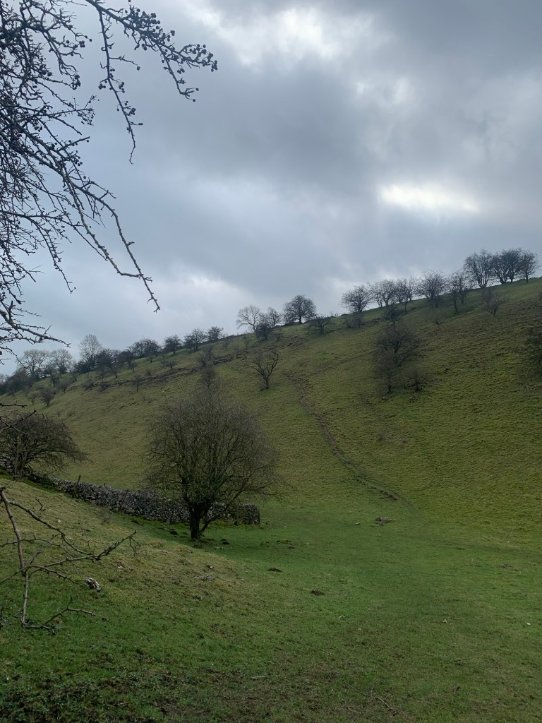
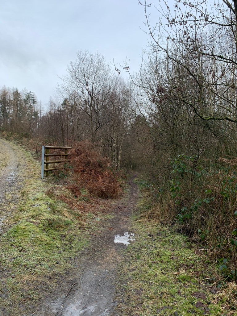
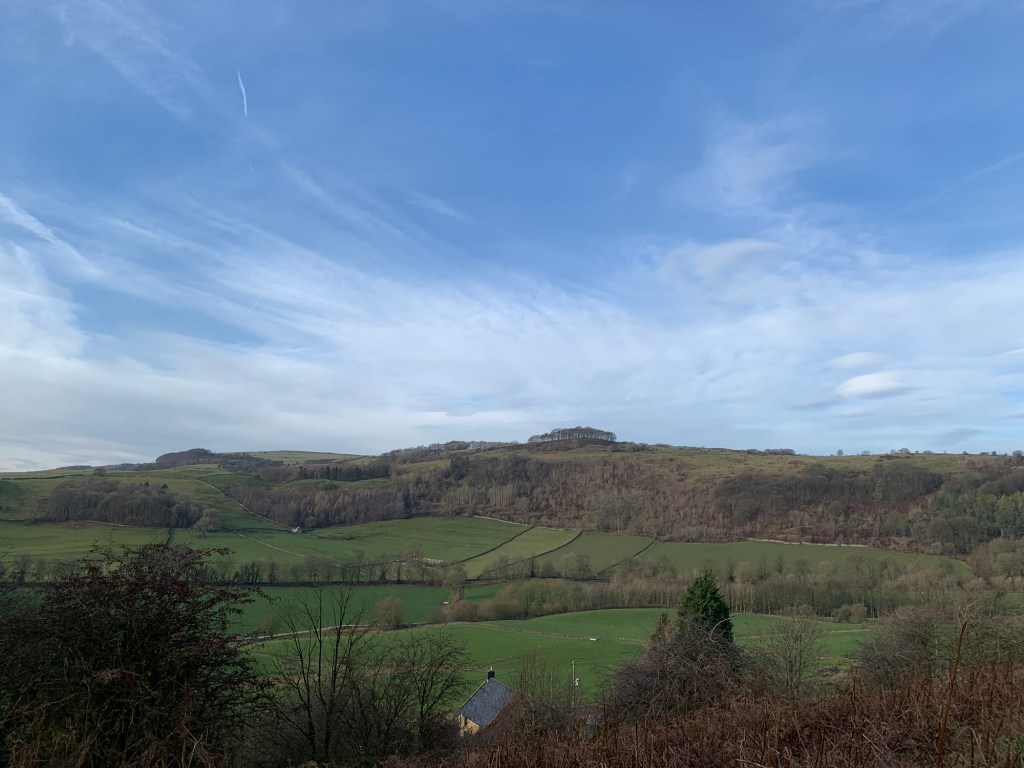
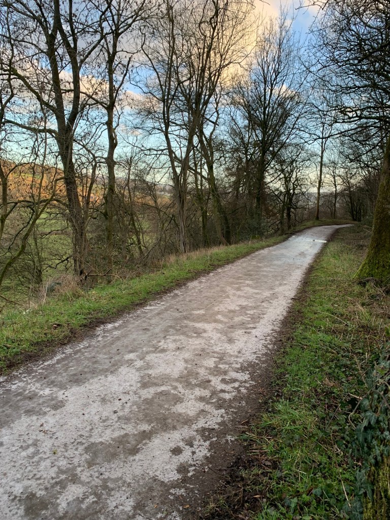
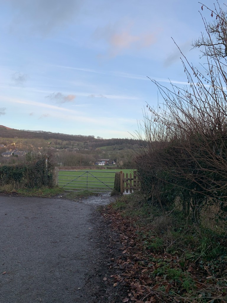
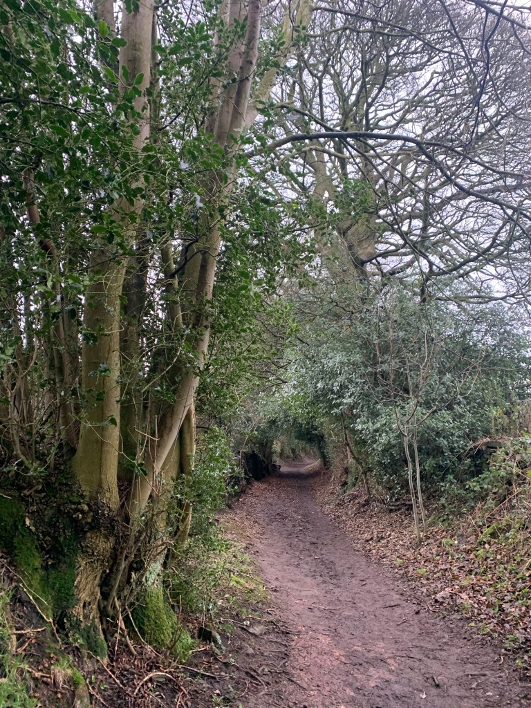
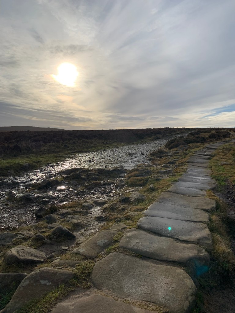
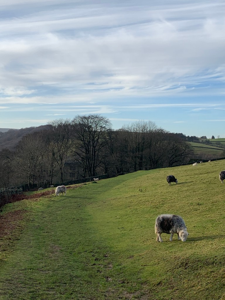
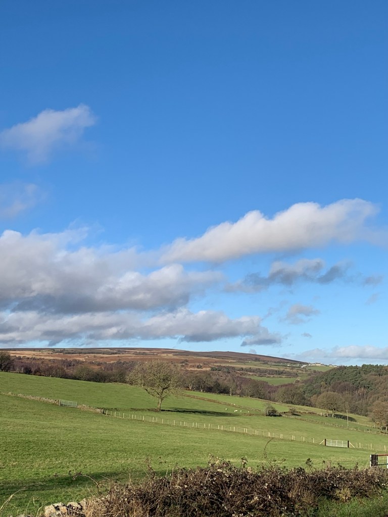
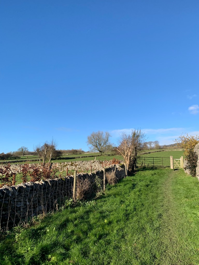
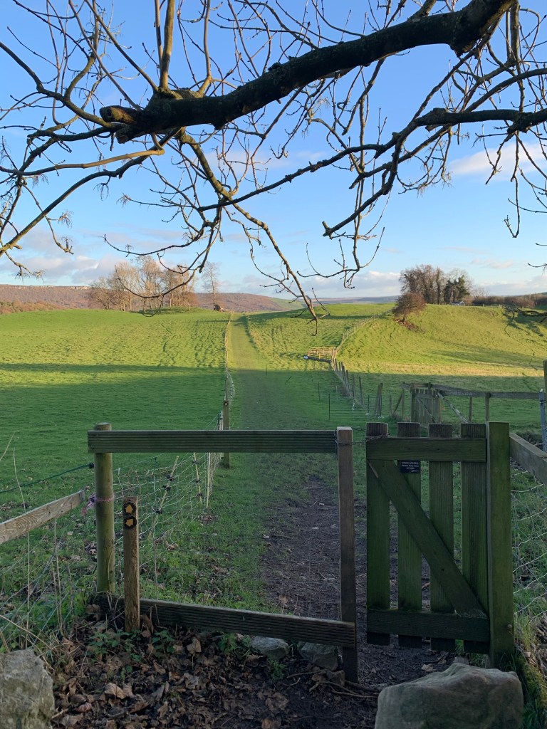
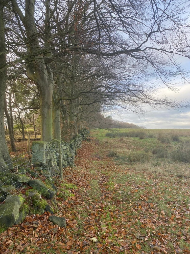
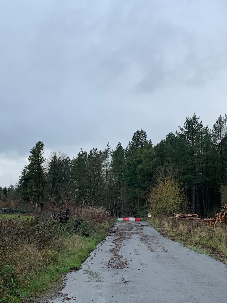
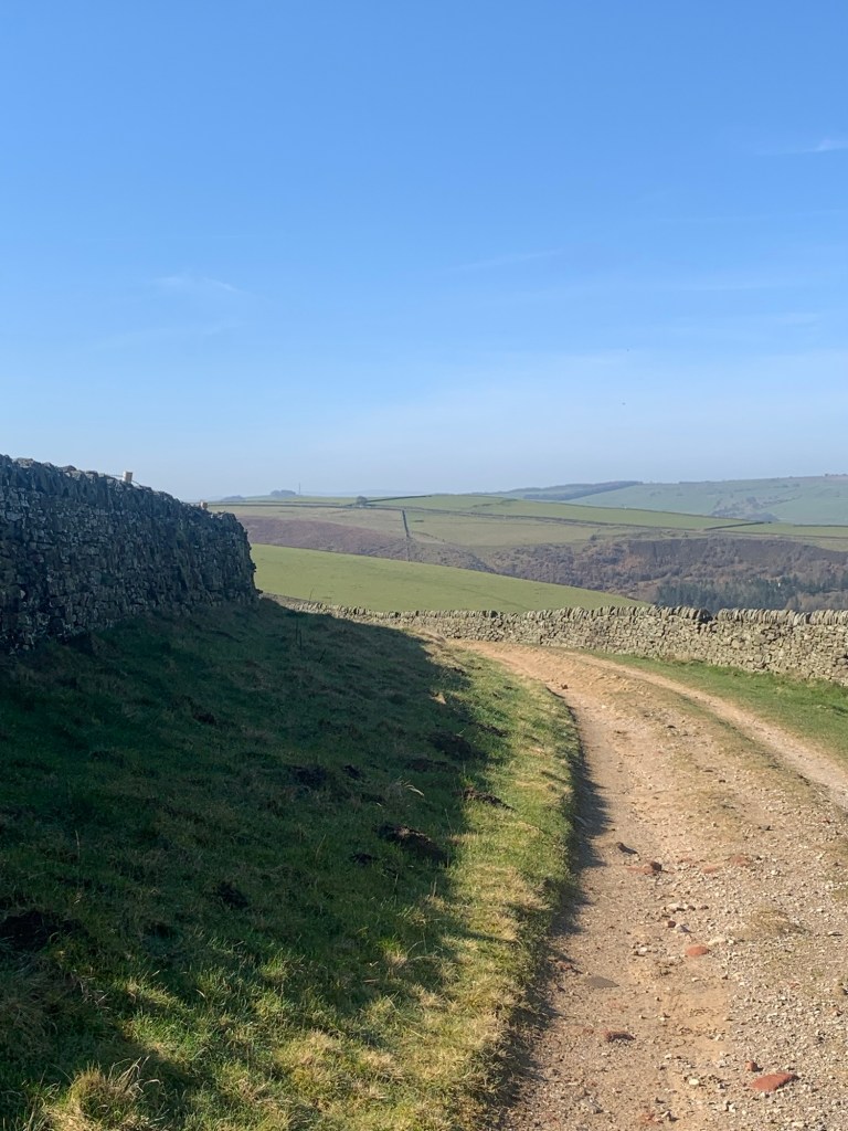
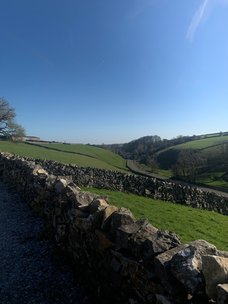
We’re out of the village now heading along the side of Bradwell Dale above and more or less parallel with the main road that runs from Bradwell to Tideswell. The lane, which used to be the main road out of Bradwell until the B6049 was built, goes through a number of other intriguing name changes to Jeffrey Lane and then Tophole Road as it winds its way along the valley side. Just when it feels as though we are going to be forced down onto the busy main road we find our footpath heading off right across grazing fields and making very pleasant walking indeed.
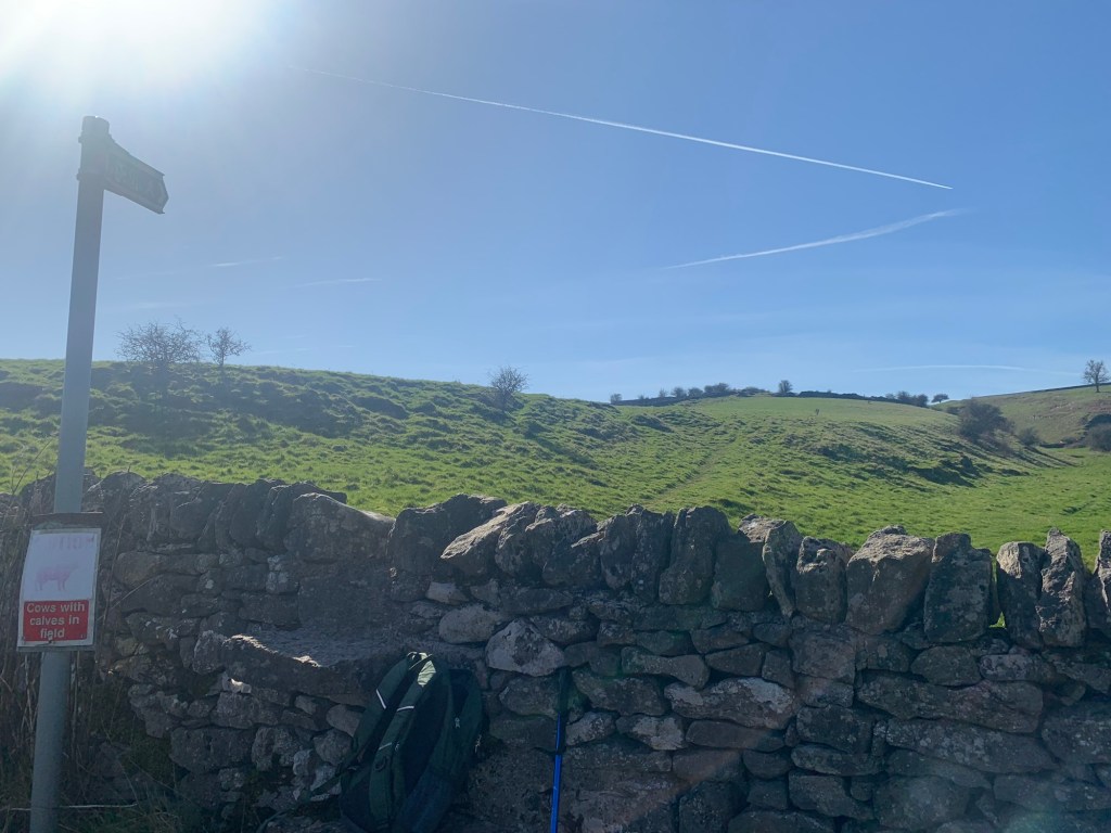
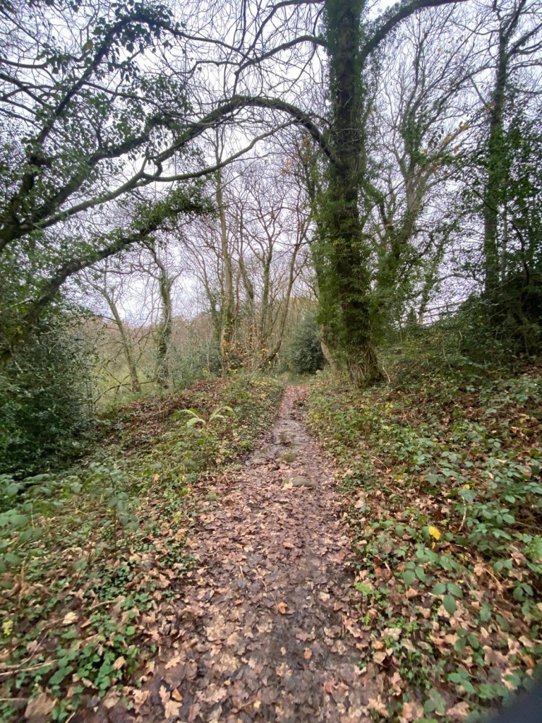
Although the path is only lightly defined underfoot the way is made obvious by always being able to spot the next stile. This makes for very enjoyable walking and today there’s not even a suggestion of mud.
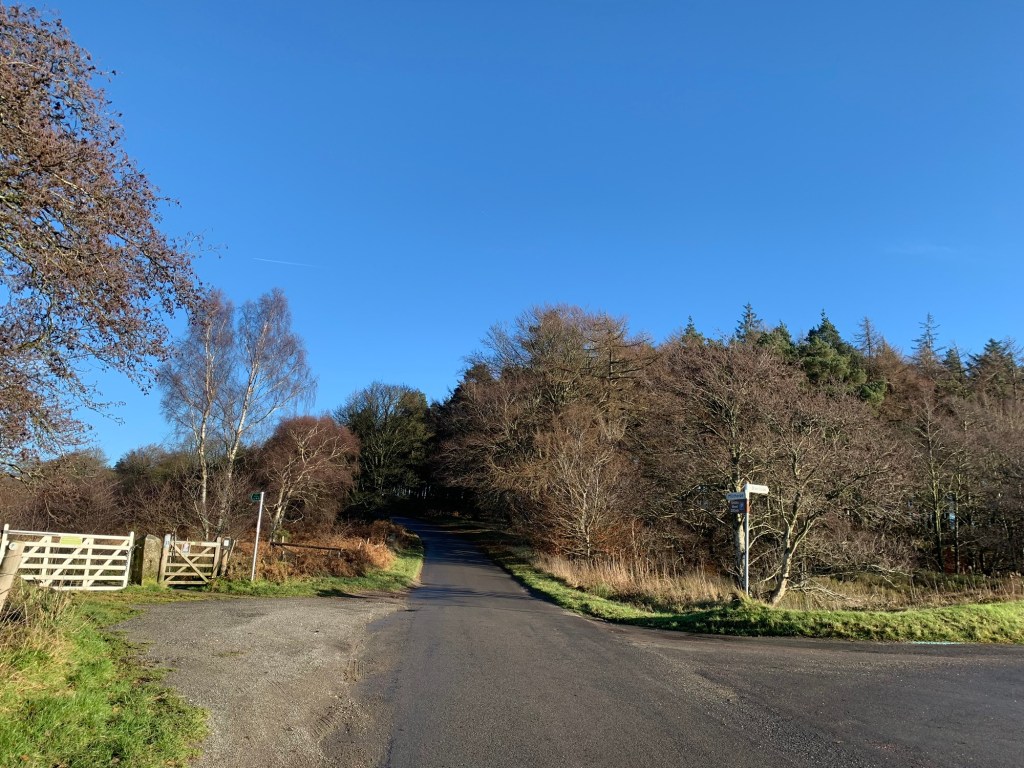
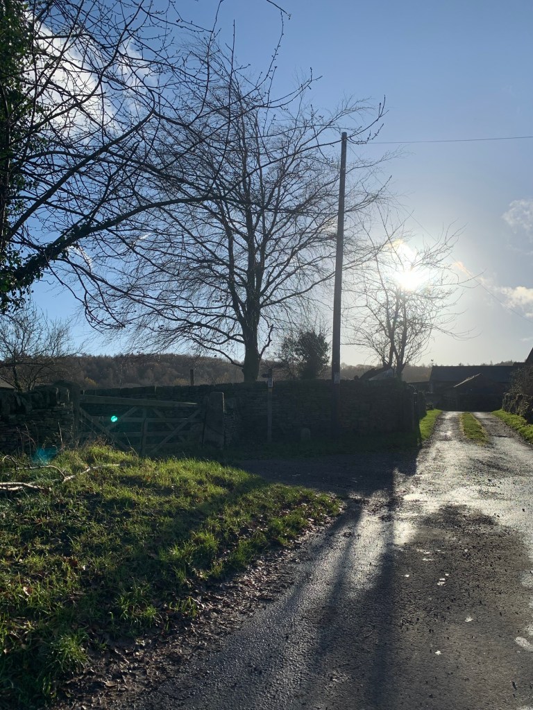
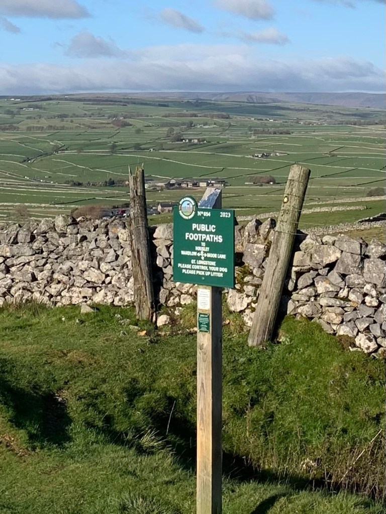
At the hamlet of Coplow Dale the path gives onto a lane. It looks as though there is a footpath continuing on the other side of the road but we decide to quit whilst we’re ahead after such a pleasant footpath experience rather than risk a path that might be there in name only. It’s only a hunch ( and we’ll never know because we didn’t try it) but it’s a simple matter to turn right up the tarmac lane and then left at the top of the hill.
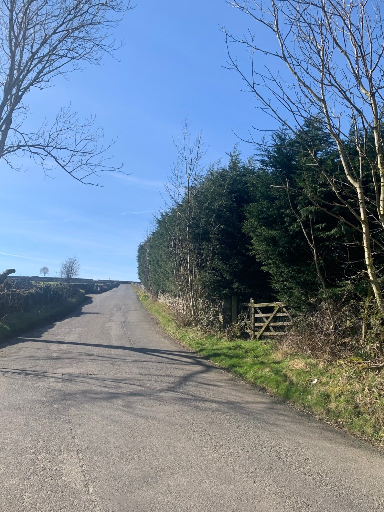
We’ve now joined the road known as Washhouse Bottom ( another great name!) and it’s another quiet back-road which just skims past the edge of Little Hucklow before taking us to our next path.
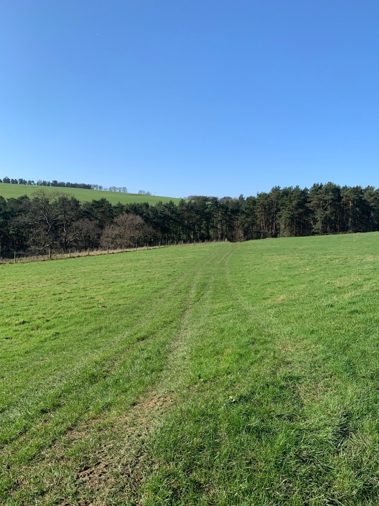
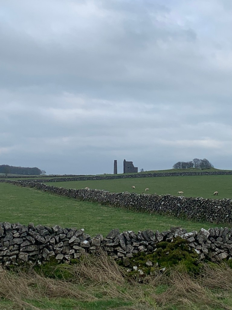
This is one of my favourite paths. It’s the path to the right that we need to follow today (but the path to the left holds further lead mining interest including remains of the old mine buildings, for anyone inclined to make an out and back detour.)
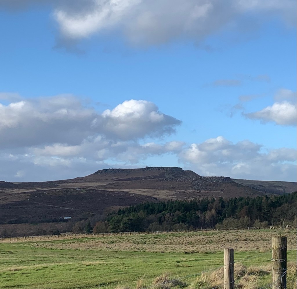
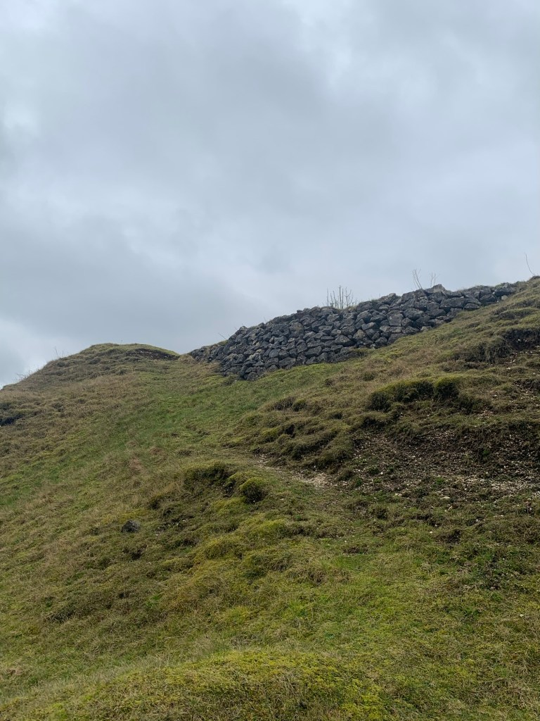
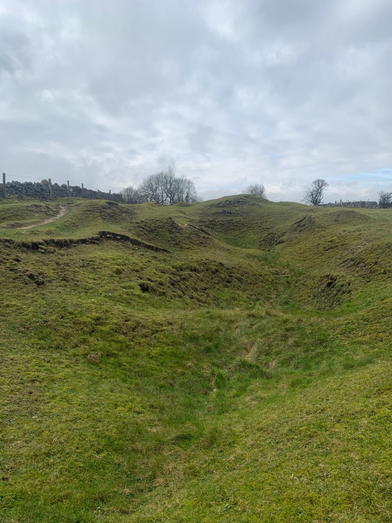
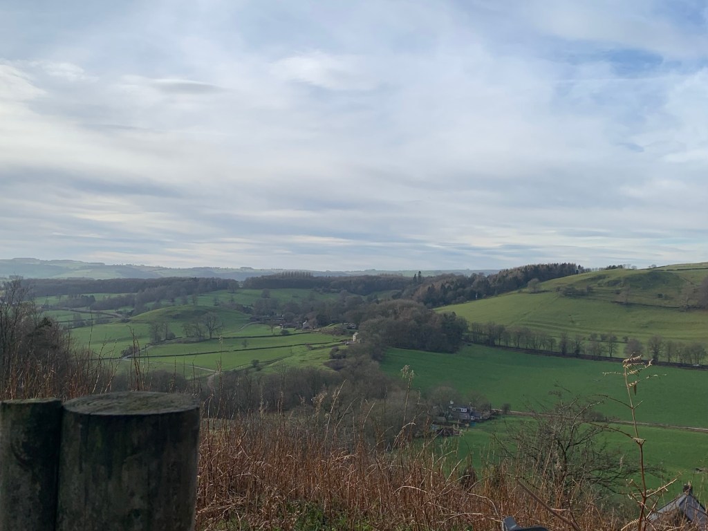
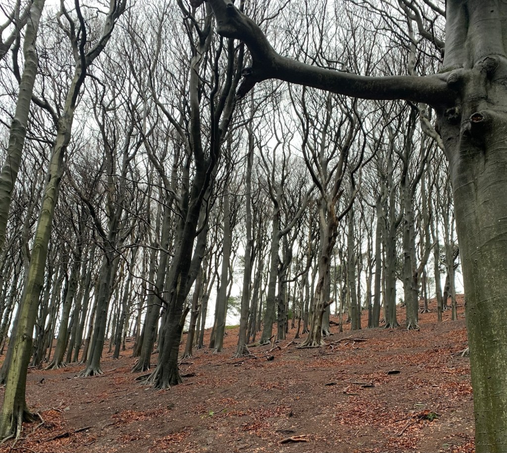
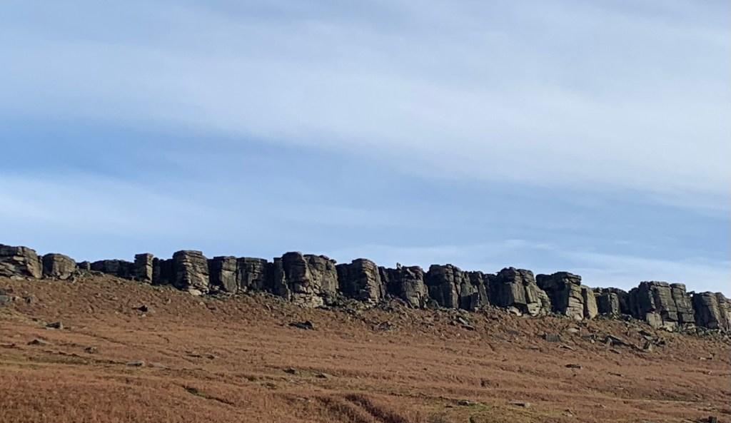
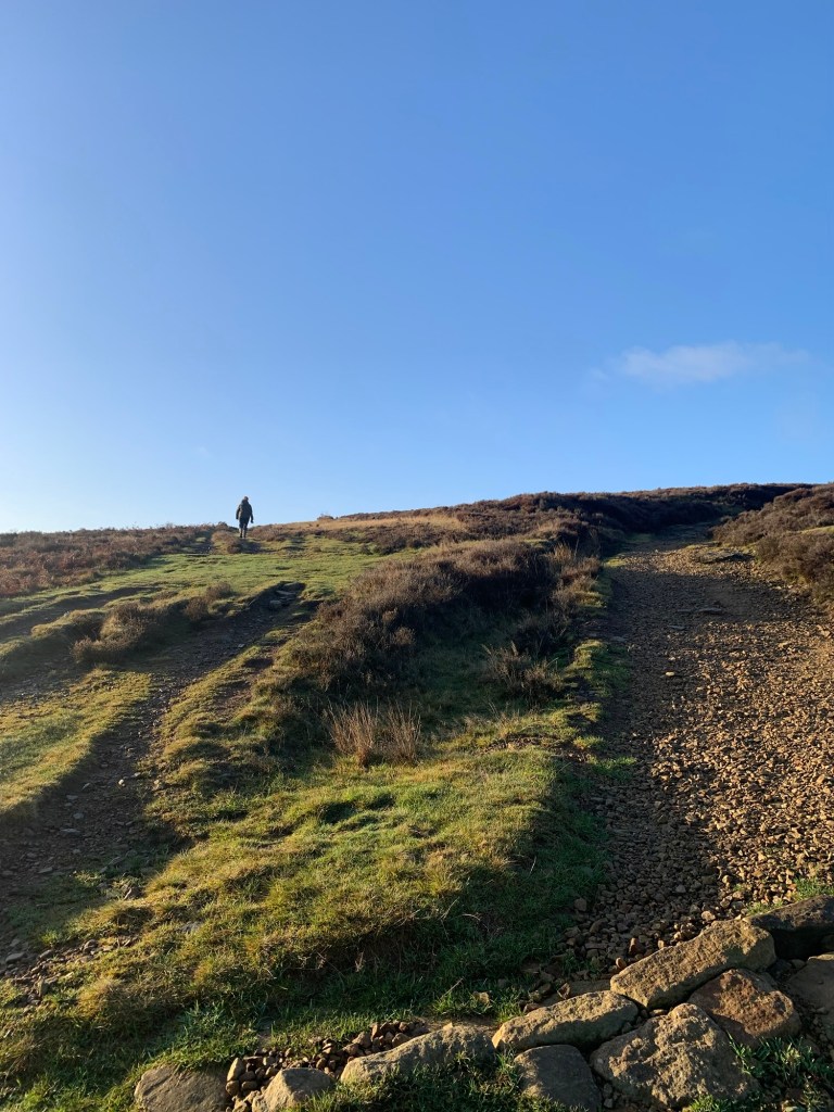
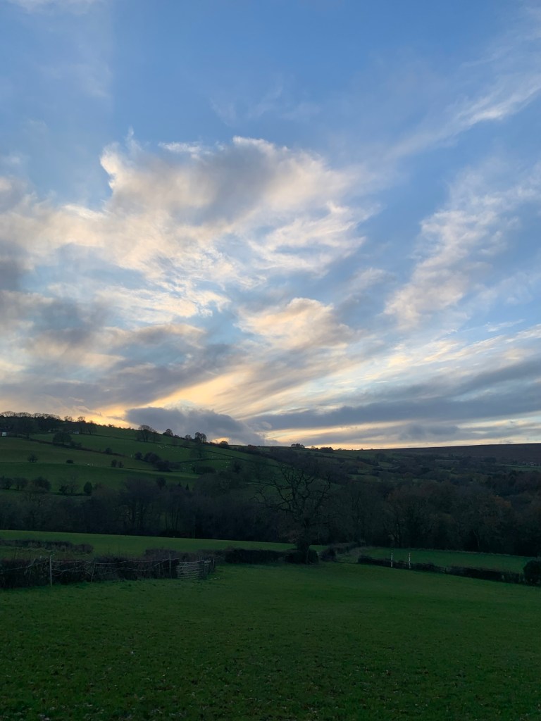
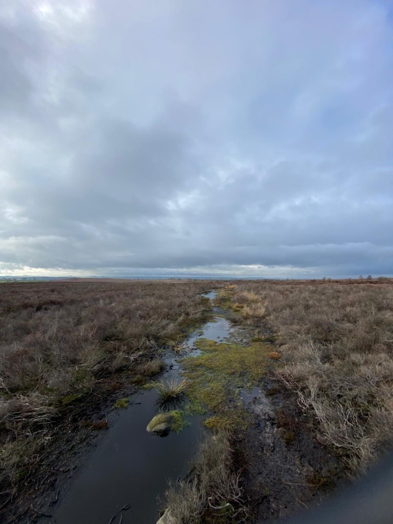
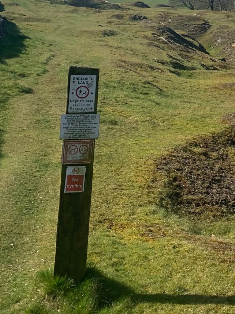
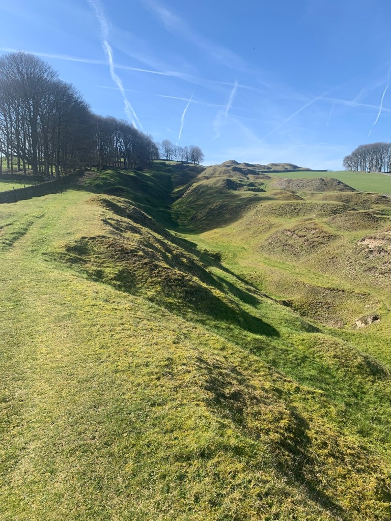
Heading uphill we’re taken along the remains of a phenomenal lead mining rake worked as long ago as the 13th century, known as Tideslow Rake. The peculiar shapes and hollows look even more interesting than ever with today’s lighting exaggerating the light and shade. It’s such a fascinating landscape.
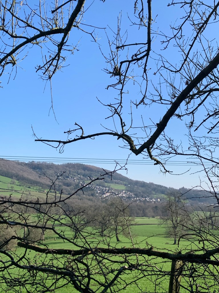
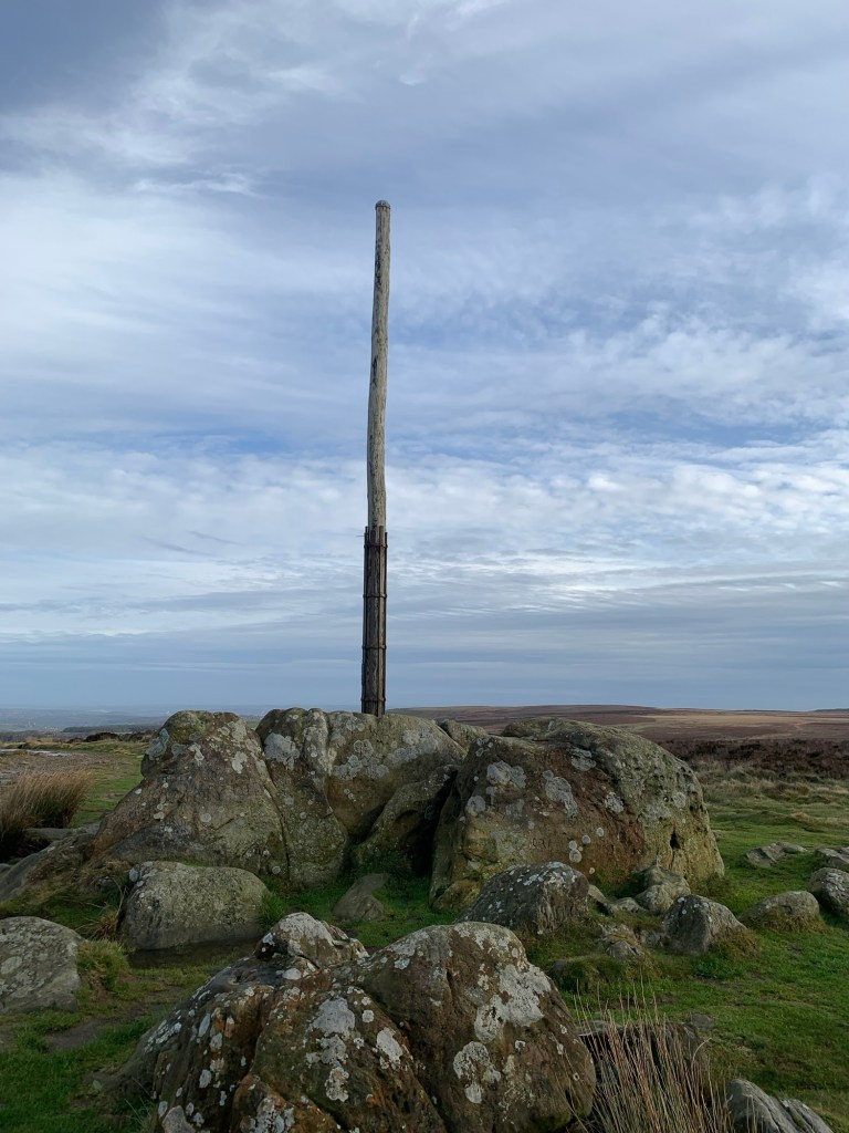
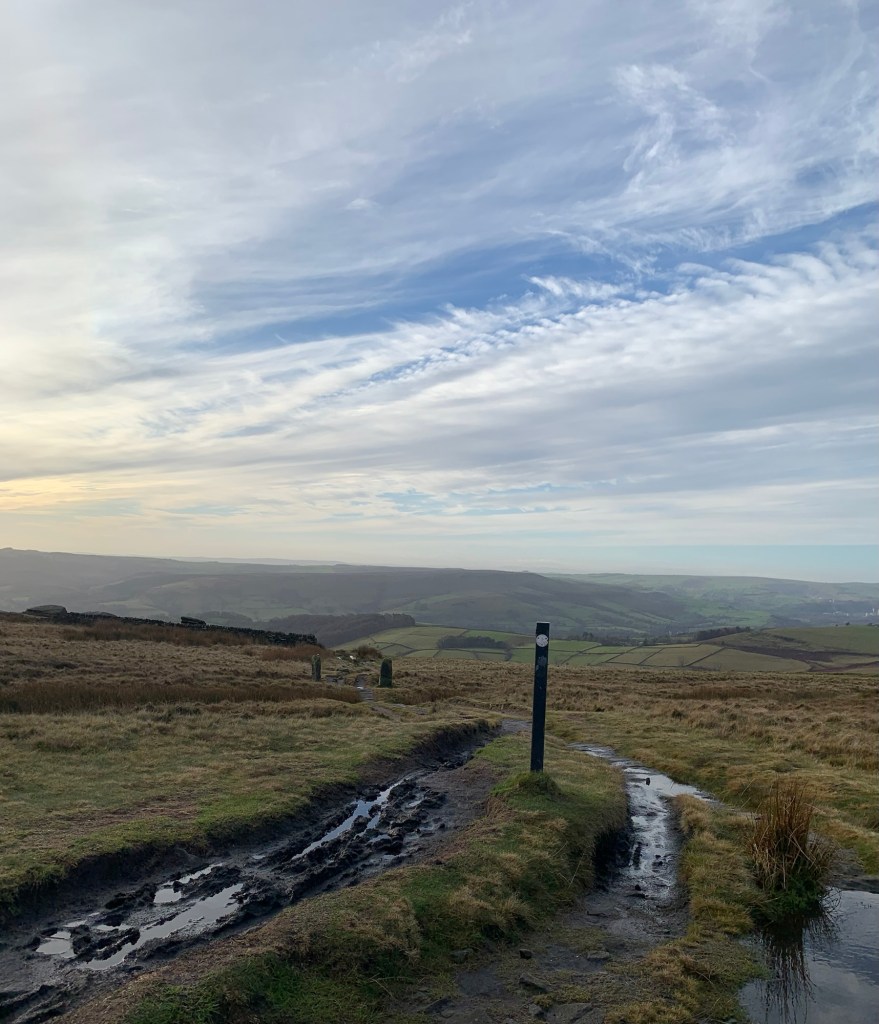
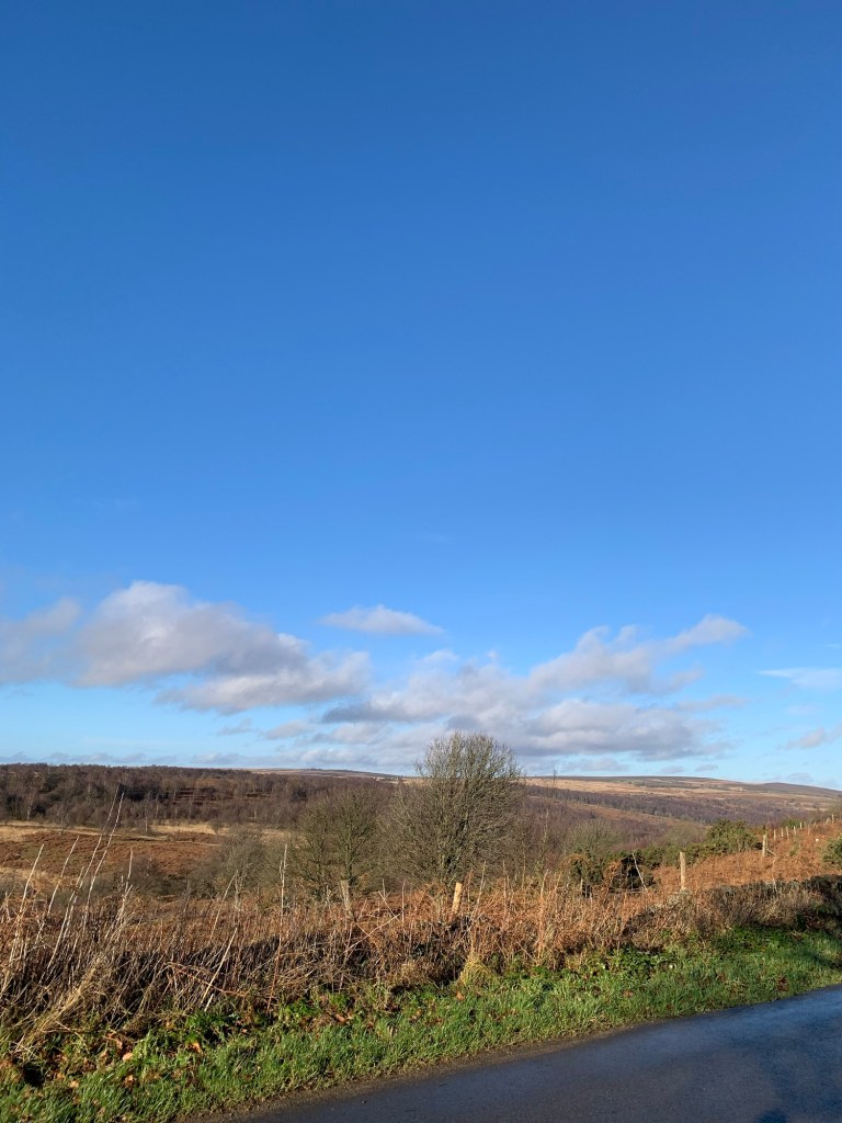
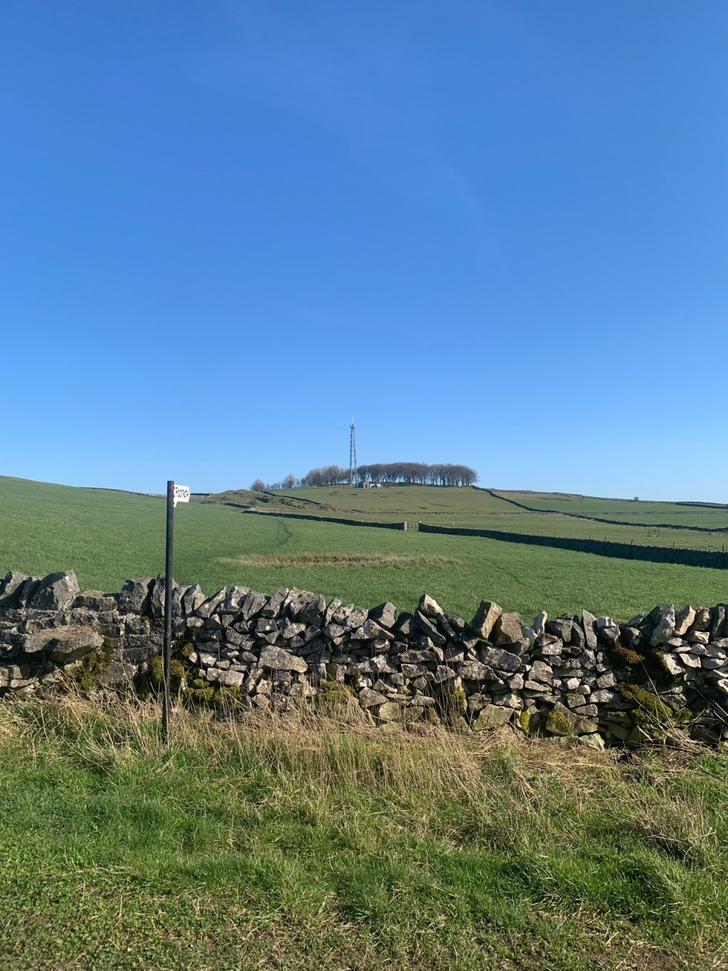
At the top of the hill is another telecom mast and as we pause to look back we realise we can just make out the one we passed earlier on Shatton Moor AND for an exciting bonus we can also see the Sir William Hill mast near Bretton.
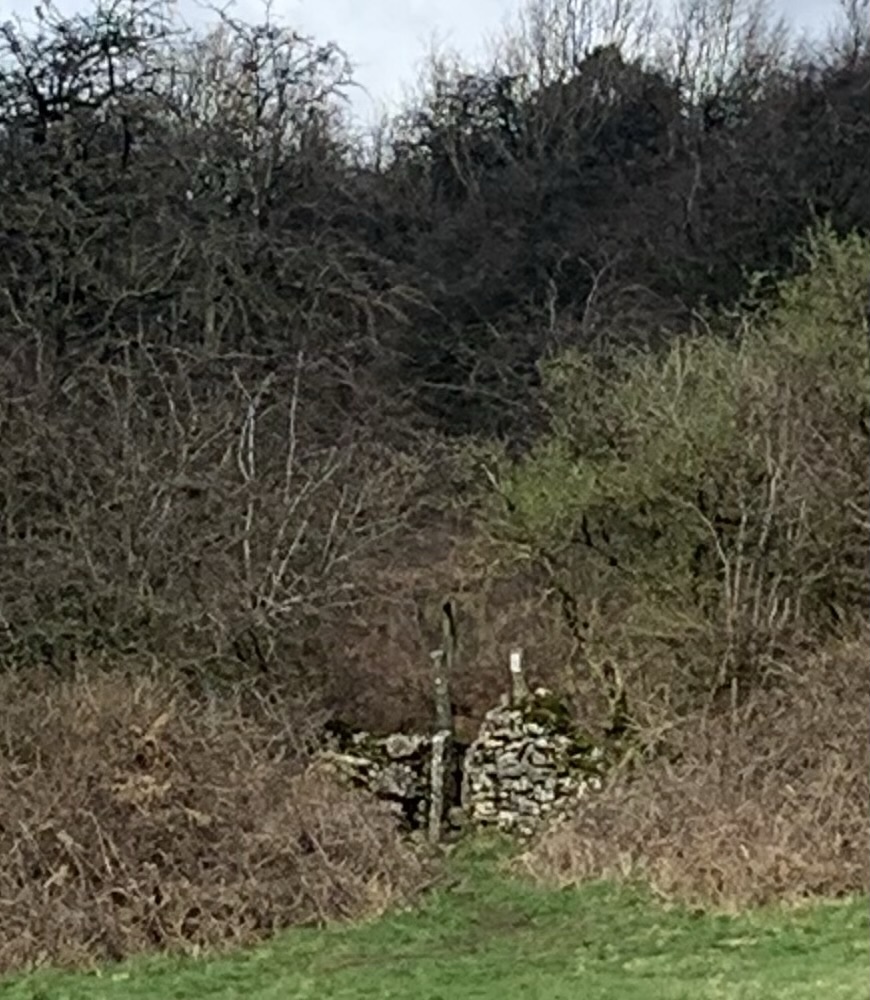
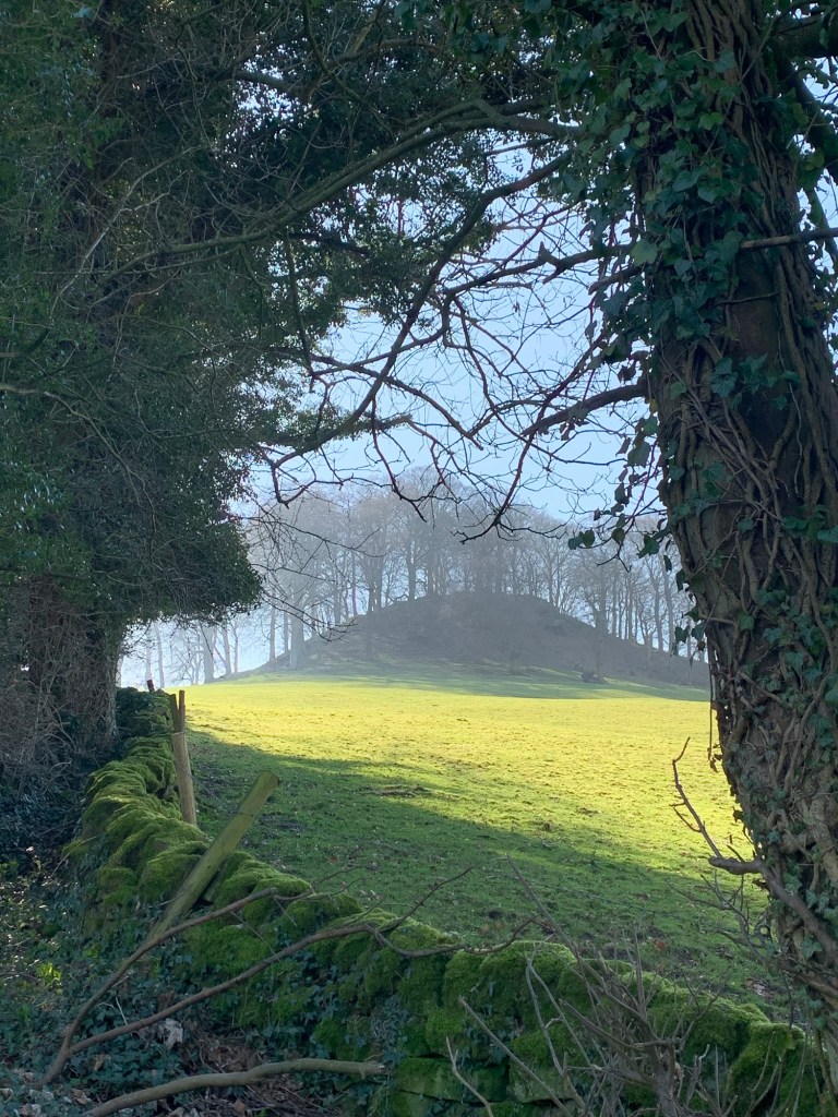
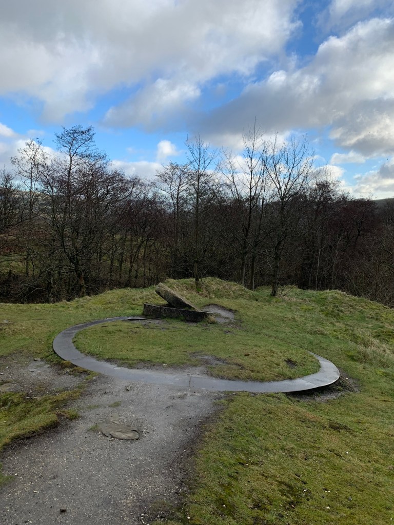
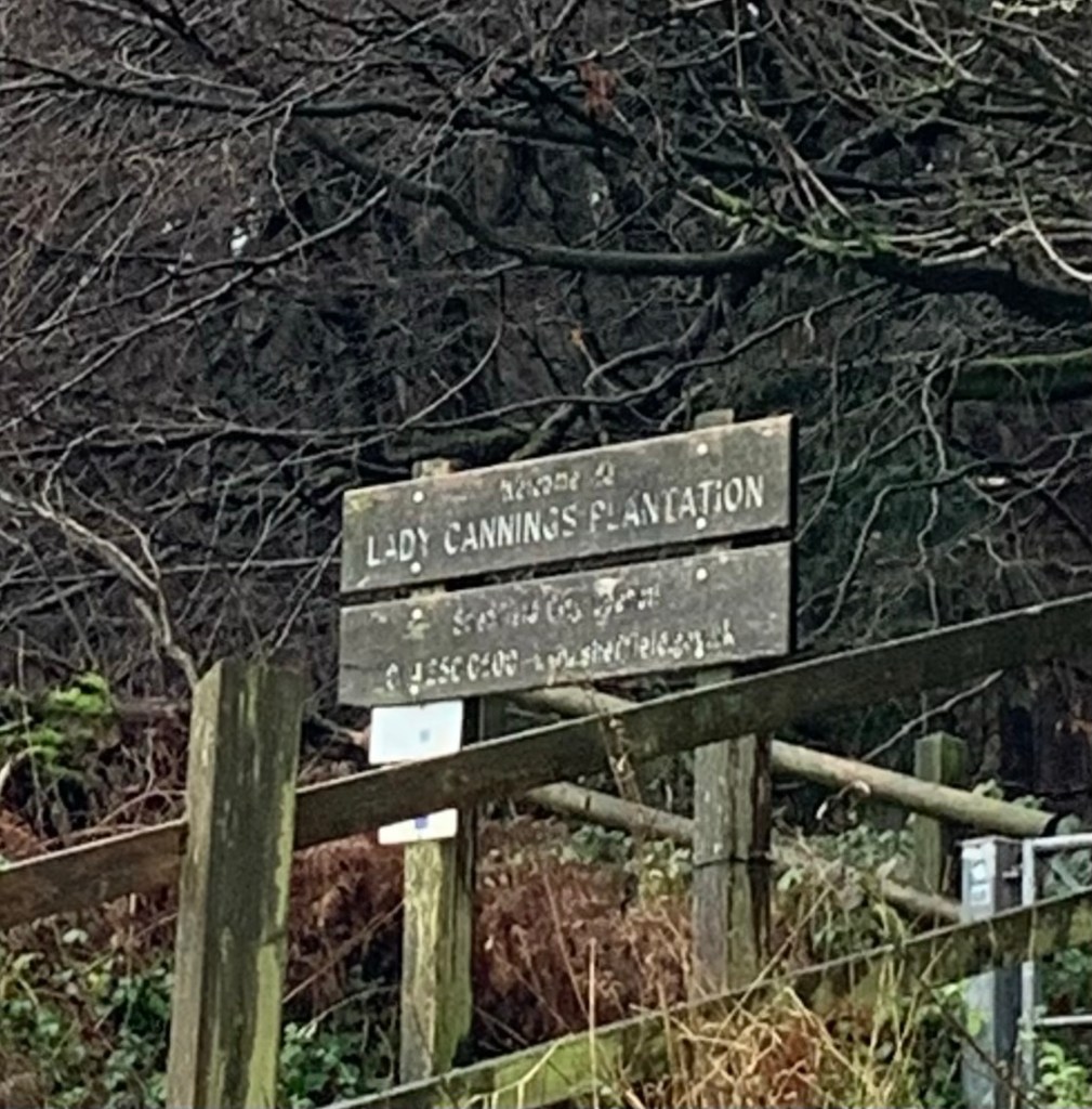
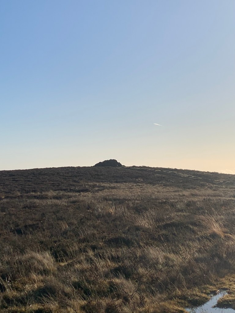
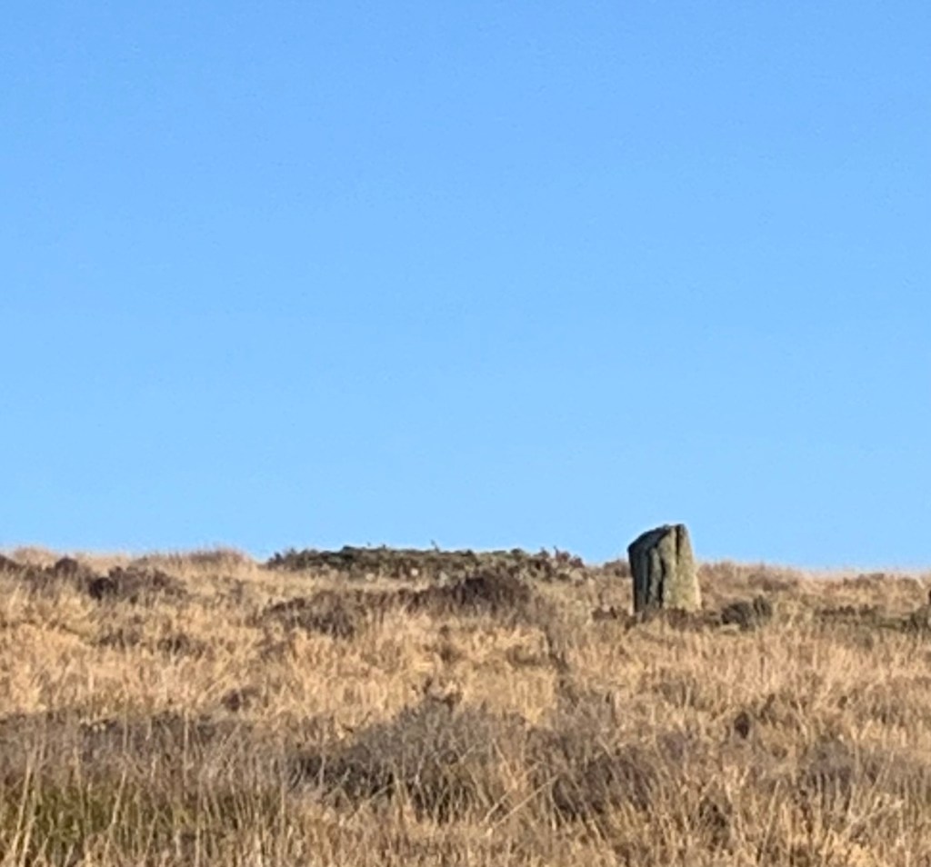
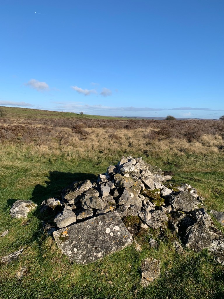
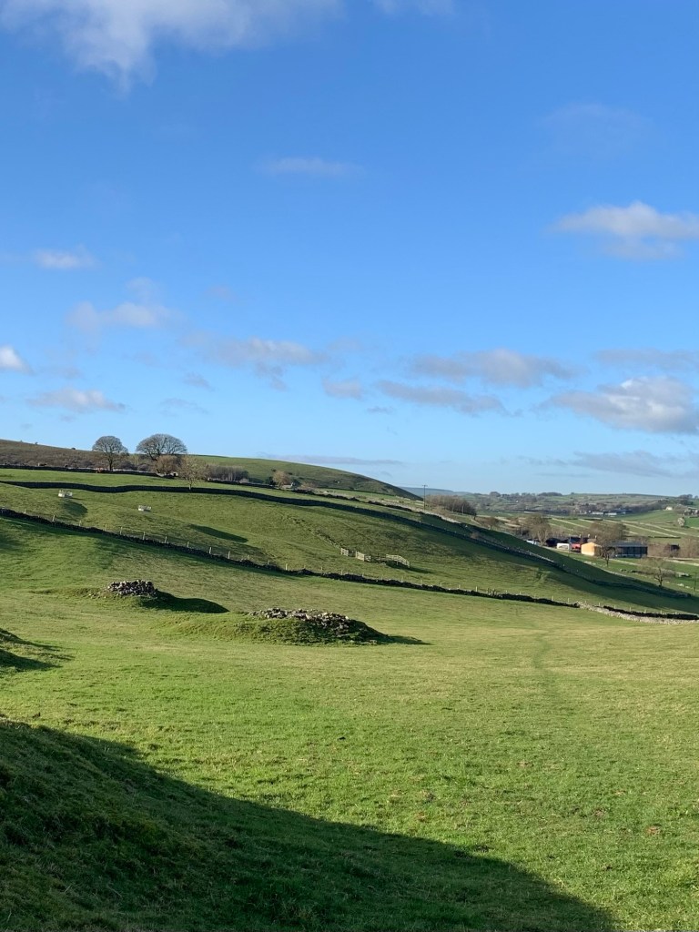
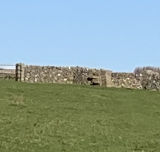
Somewhere on this hilltop, known as Tideslow, in amongst the telecom mast and the debris of the lead mining, is an ancient burial mound where allegedly Tida, a local Saxon chief was buried in the 7th century.
We decide, totally unscientifically and on something of a whim, that it’s this bump with a circle of trees around it.
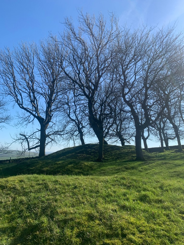
But whether or not Tida lies here, there’s definitely a special atmosphere in the place suited to a prehistoric site, as with Five Wells Tomb over near Chelmorton ( see C for Chelmorton) for example.
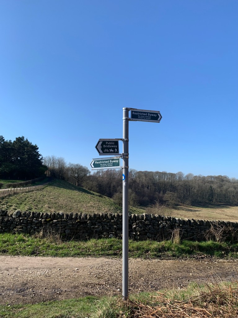
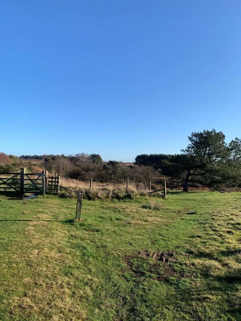
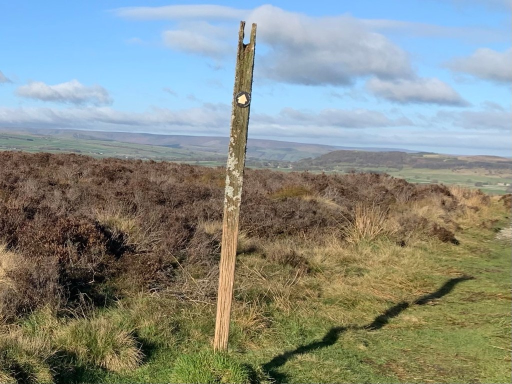
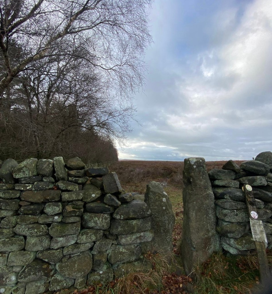
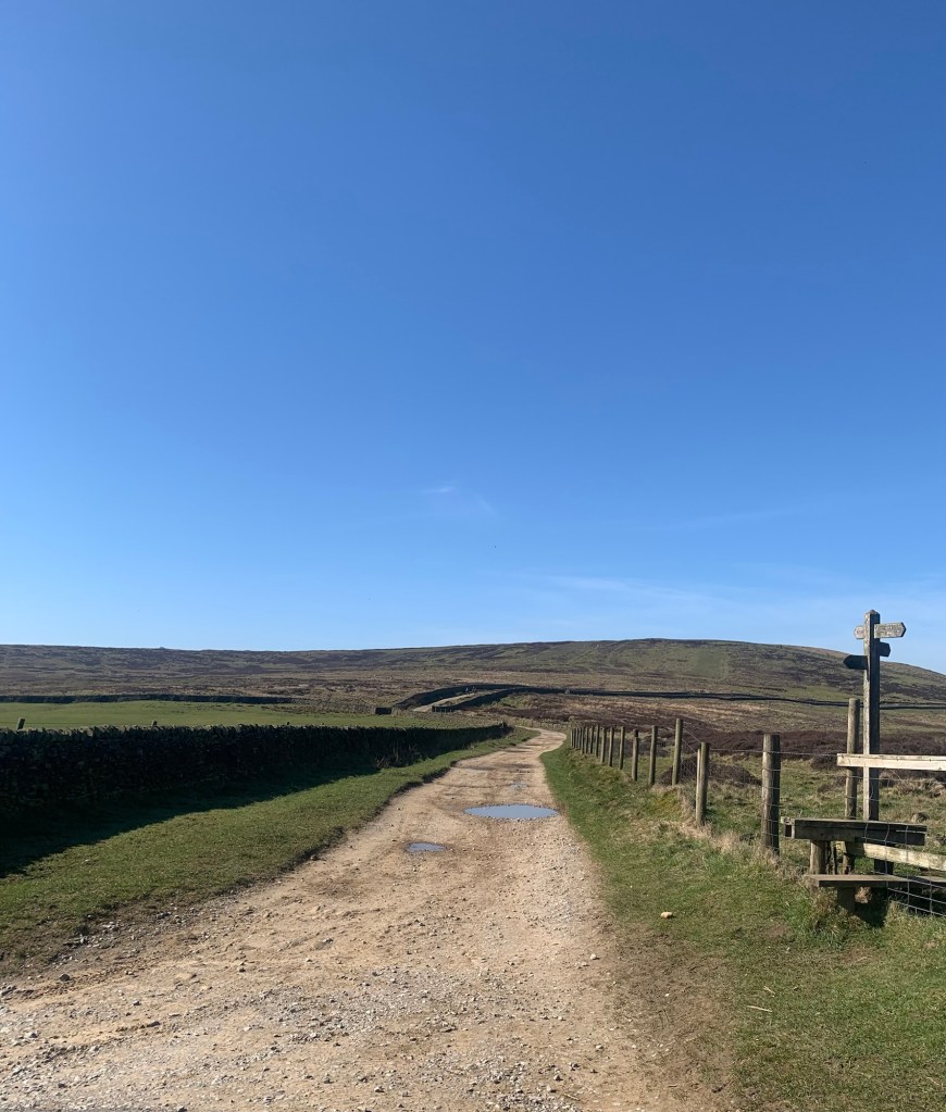
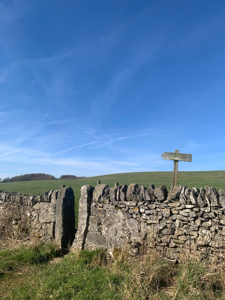
Once over the brow of the hill the path swings right ( look for an arrow sticking up above the wall )
and the path then turns left following along the other side of the wall until we reach the road.
There’s an enticing finger post pointing to a continuation of the path on the other side of the lane but we’ll have to explore that way another day.
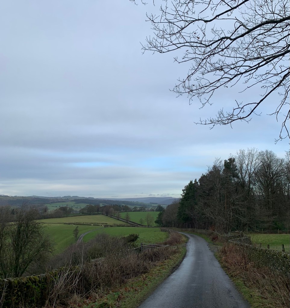
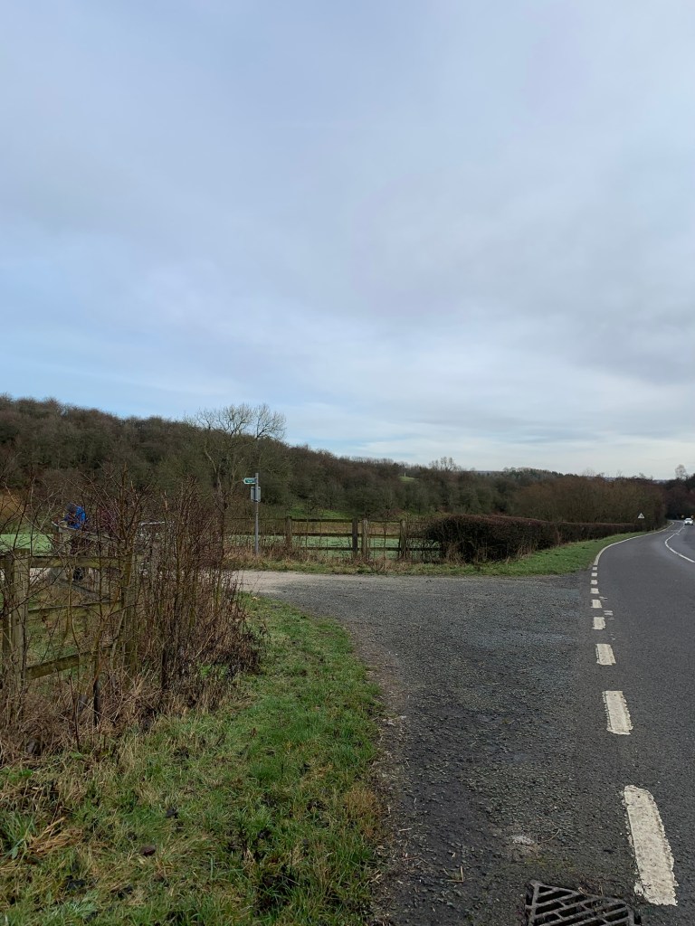
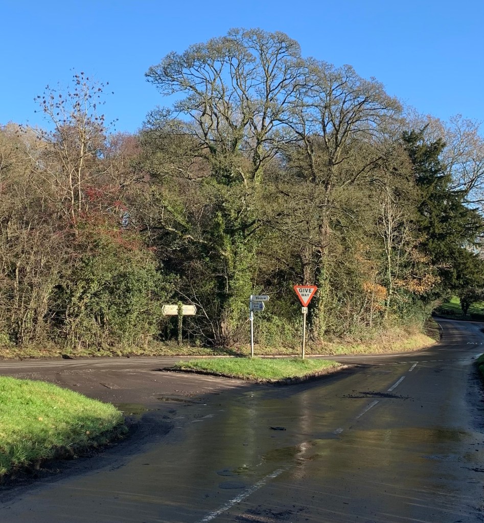
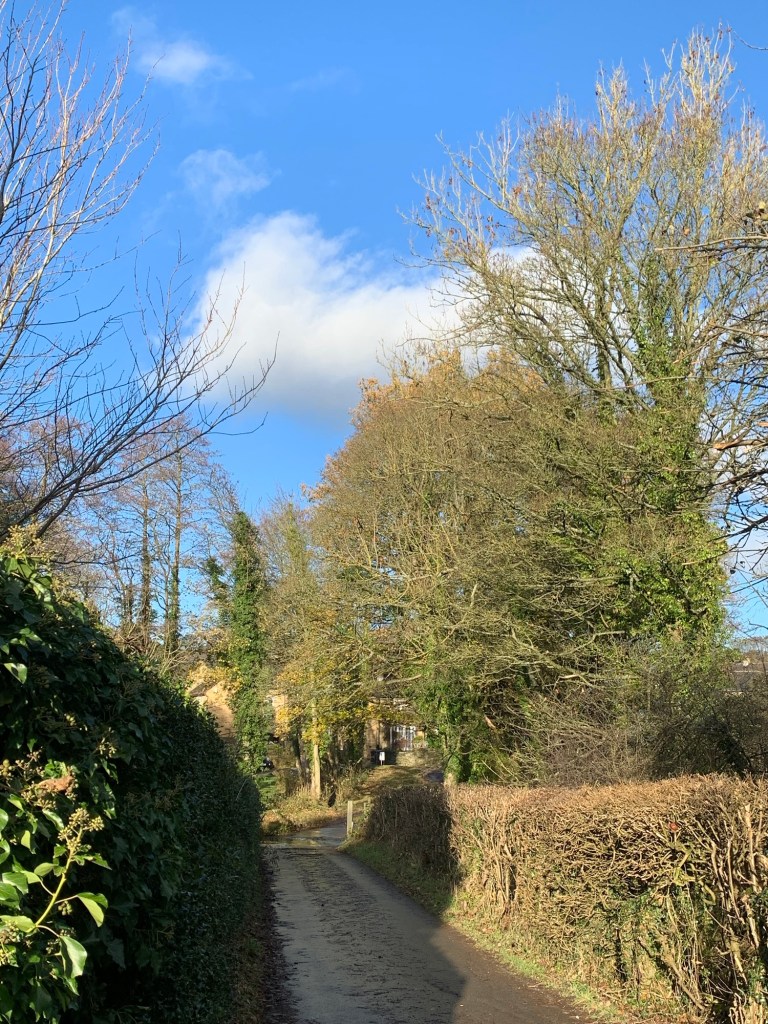
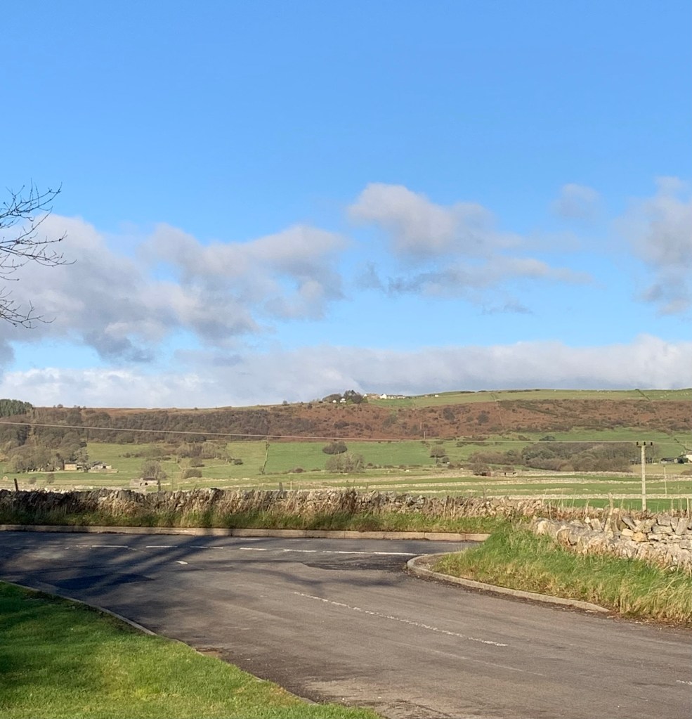
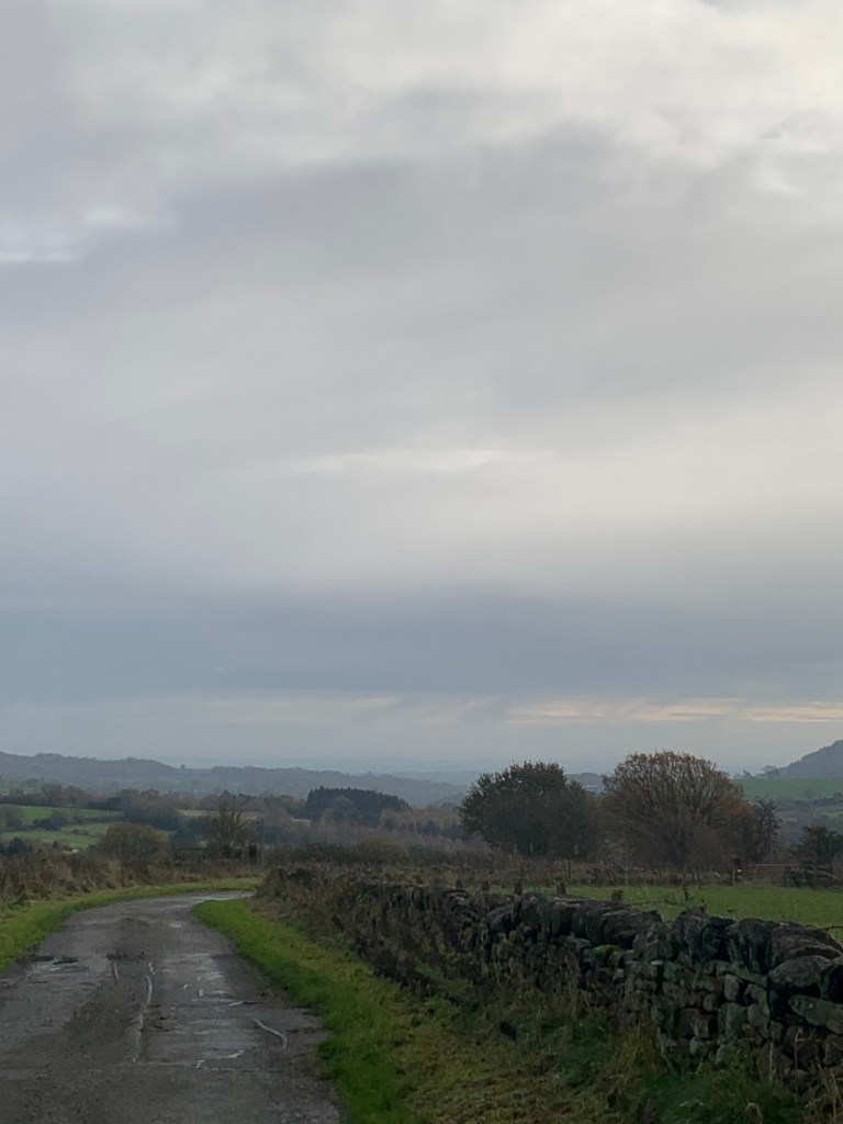
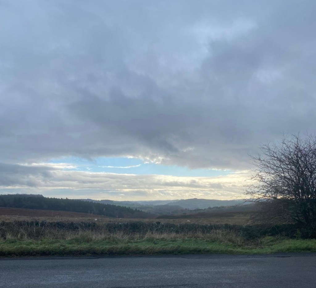
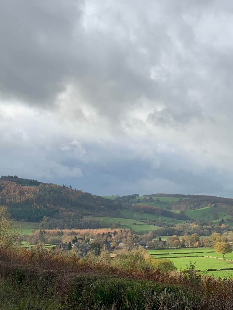
Our route to Tideswell takes us left along this quiet lane to its crossing point with the very busy A623. The traffic is very fast moving and we are between two bends so we’re relieved to have got to the other side in one piece and back into the peacefulness of our quieter road.
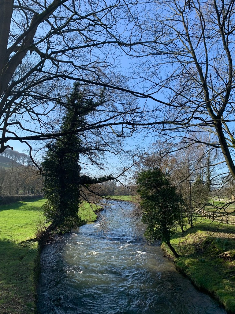
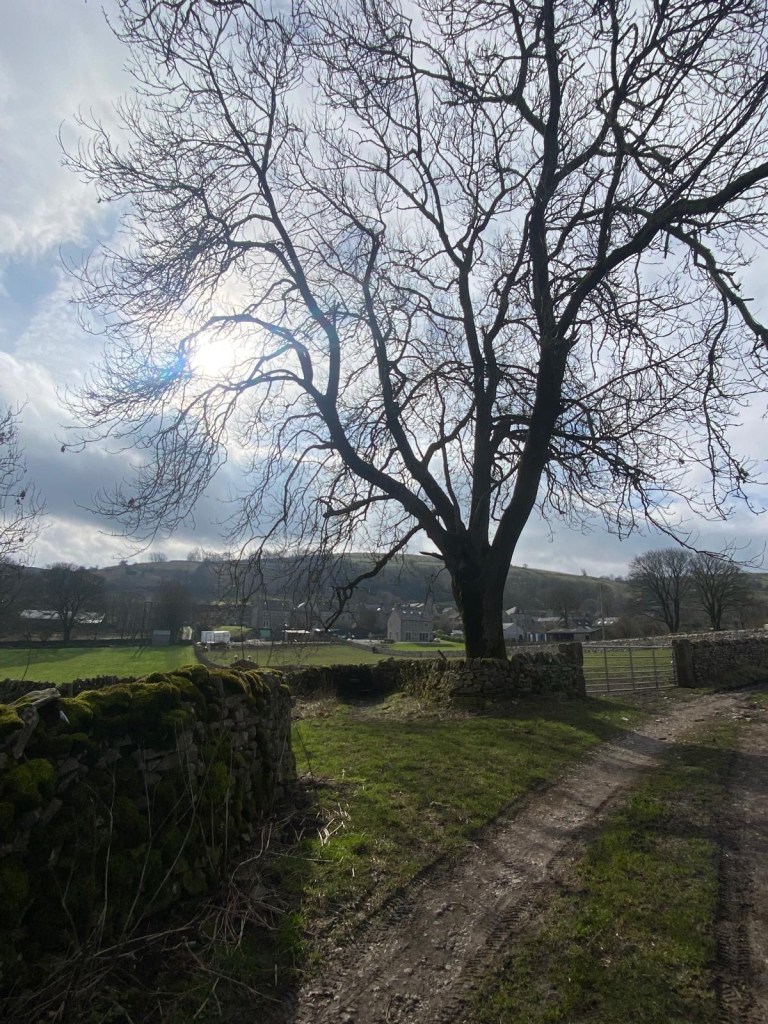
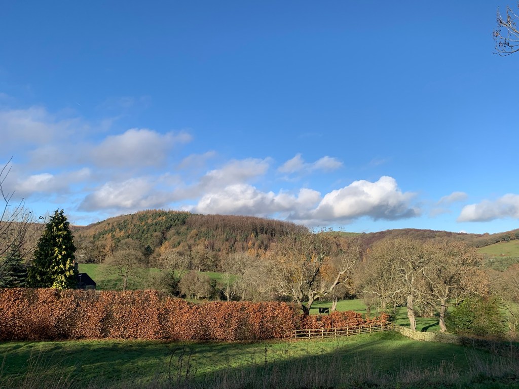
There’s a beautiful stream now running alongside us as we gradually descend towards the village but we leave it in the valley bottom as we strike off left briefly uphill again along a minor lane.
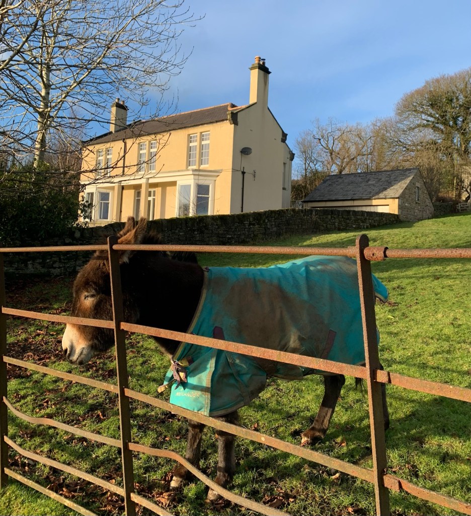
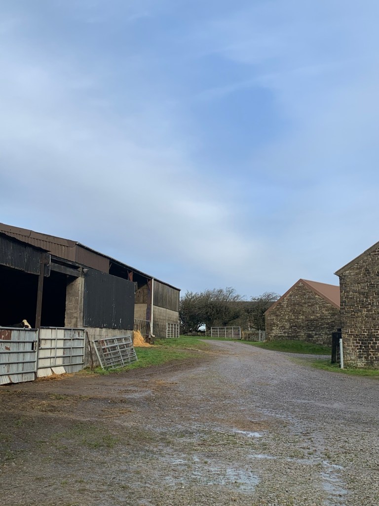
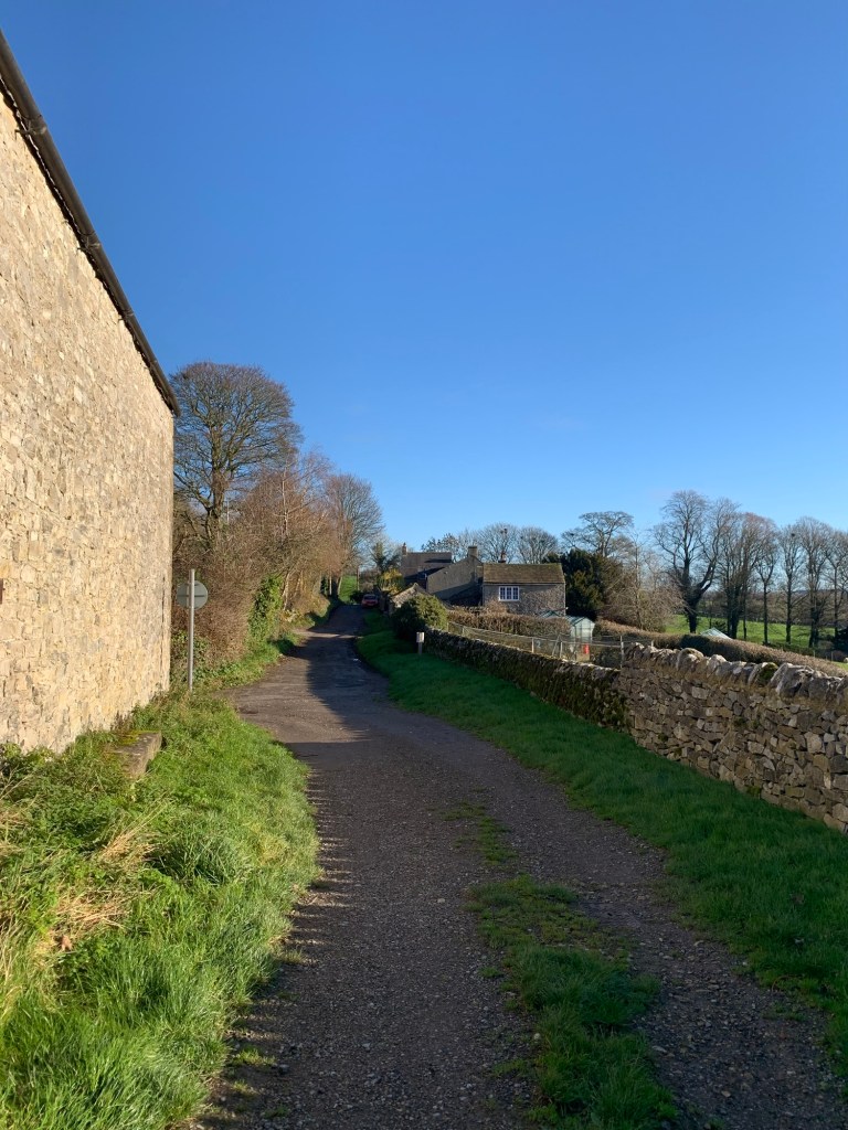
After passing through a farm yard
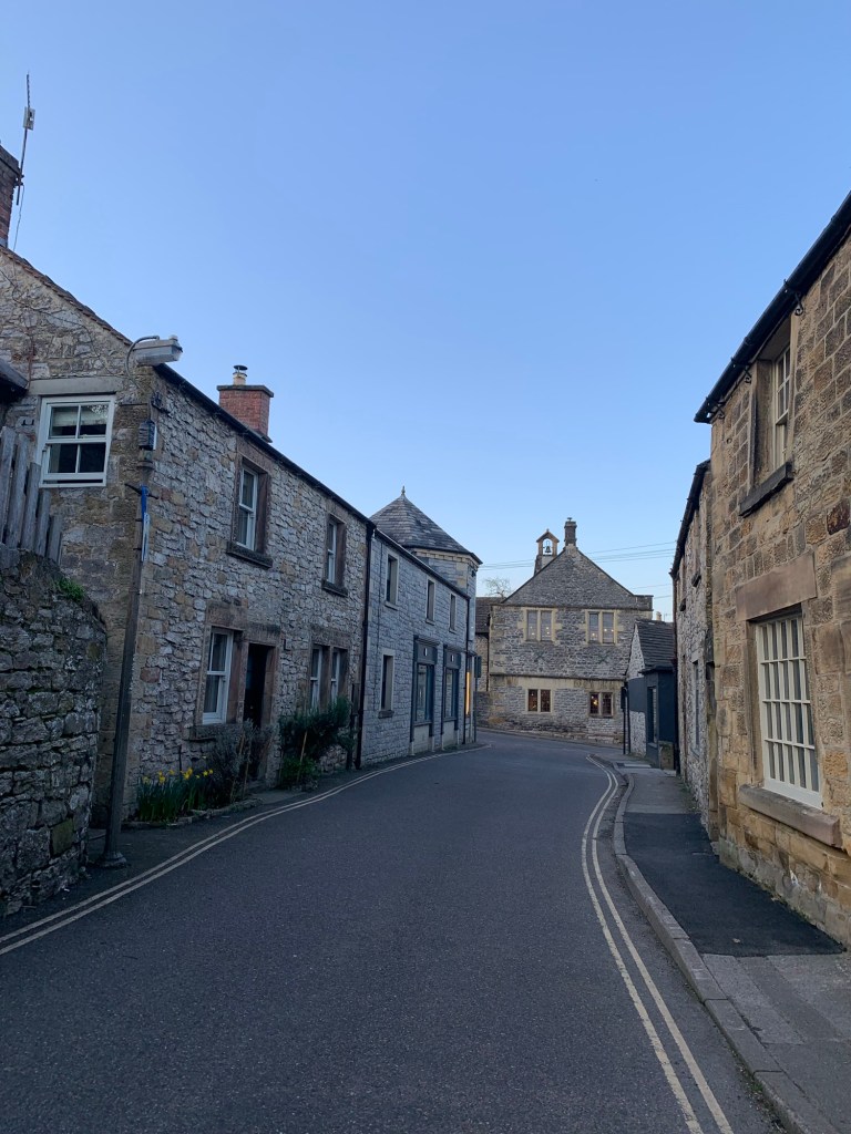
we reach a T junction and we walk right, entering into the village past a small play area and a strangely tall outhouse
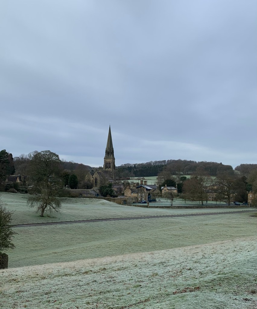
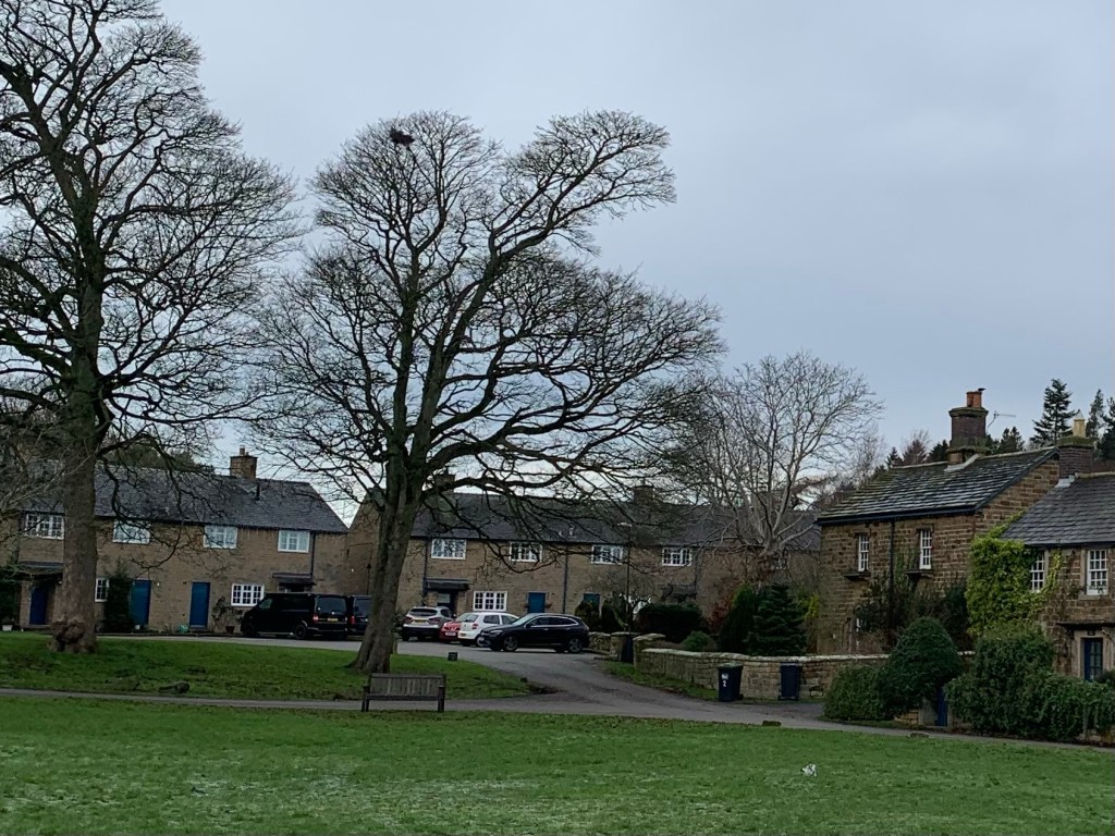
before a quick wander through the back alleys of Tideswell brings us out between the church and the Co-op.
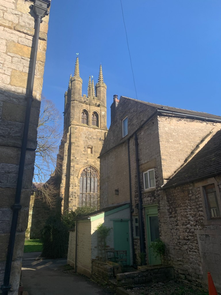
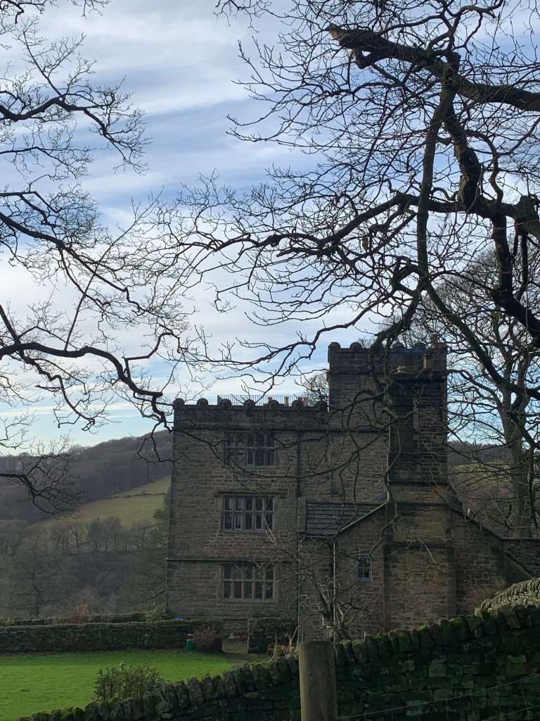
The church is known as the Cathedral of the Peak due to its size and apparently its size is due to the amount of wealth that was once in the area thanks to the lead mining industry.
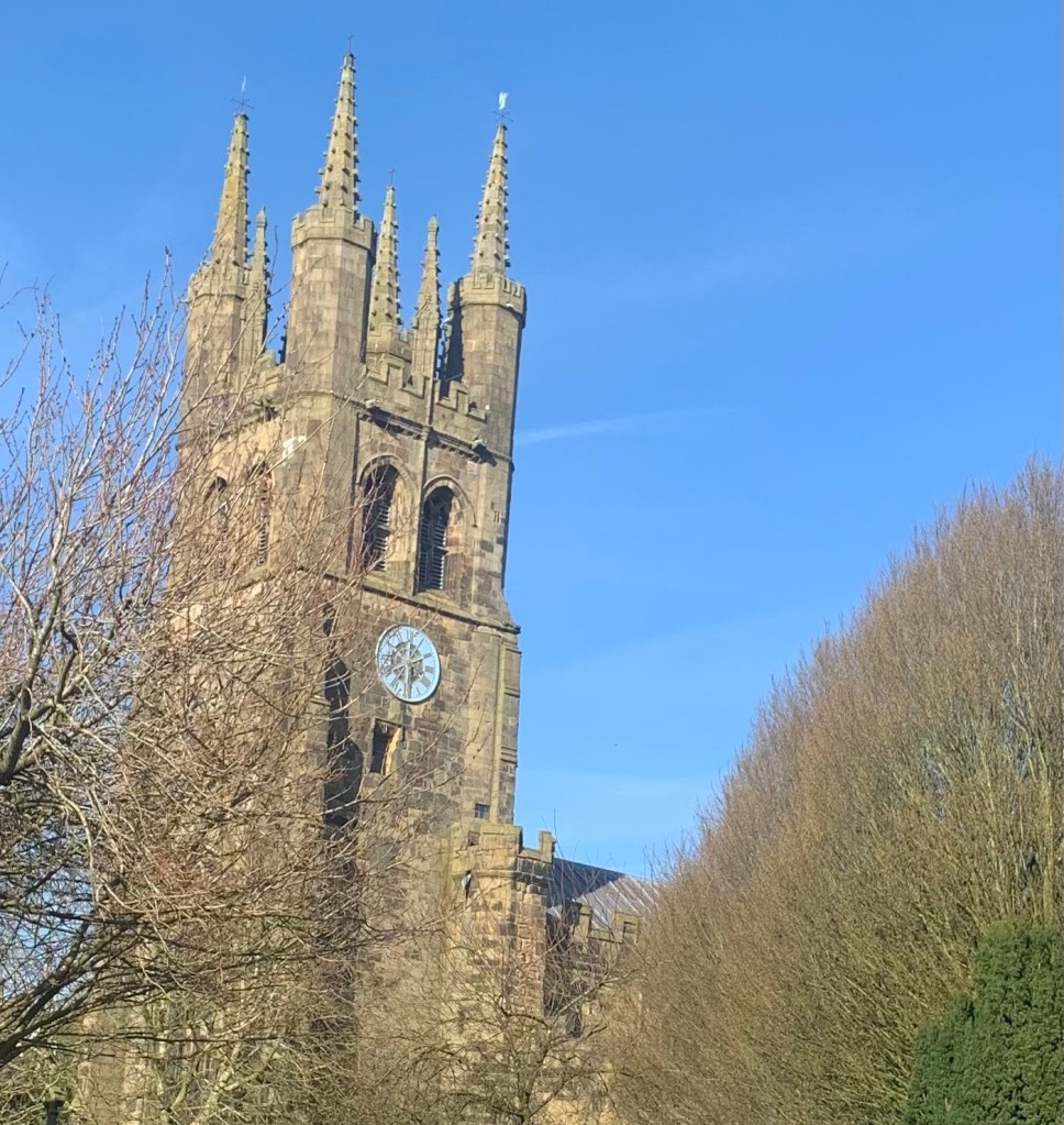
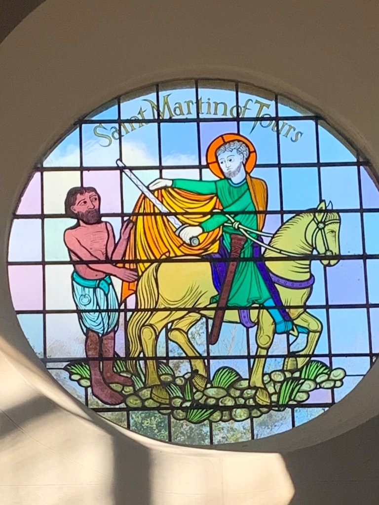
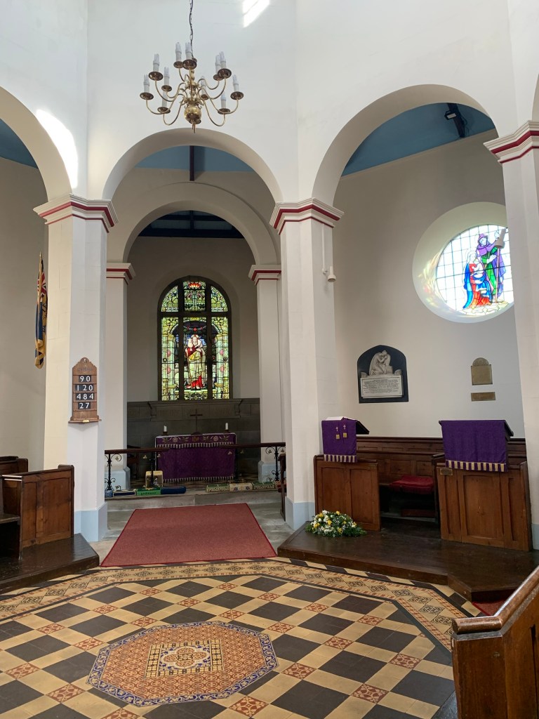
It’s certainly grand and imposing from the outside but when we decide to explore inside it’s clear that a lot of improvement work needs doing and we read that the funds needed for the upkeep are in the region of £400,000+ . Although we make a donation it feels like a drop in the ocean. Hopefully they will receive some funding from somewhere as it would be such a shame for a building like this to decline past the point of rescue.
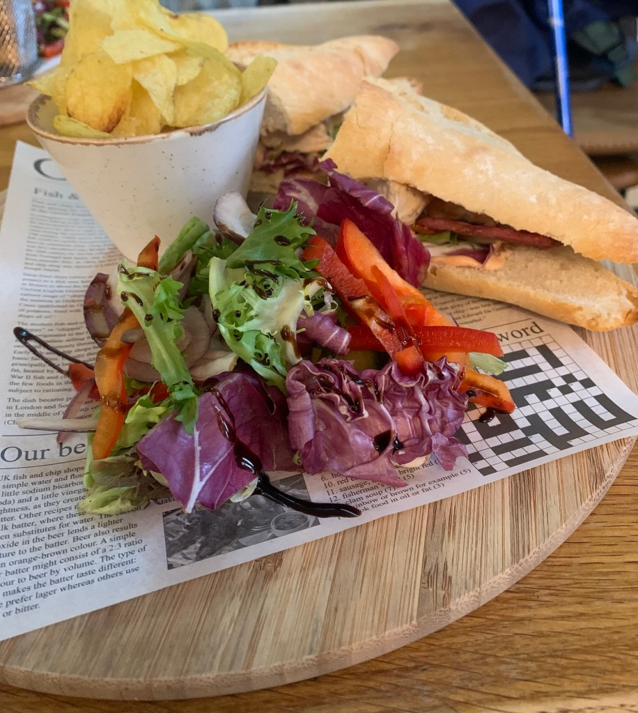
Back in the sunshine once more we head just around the corner to the Tideswell Lounge cafe and very much enjoy our second pot of tea of the day whilst we wait for the 65 bus to take us back home.
There may not be many of them but the 65s usually do turn up and this one is no exception; it’s bang on time and we enjoy a sunny afternoon scenic ride back to Sheffield after another lovely day in the Peak.
https://footpathapp.com/routes/F67E4027-BEE4-446F-B0D4-DDDA02A8D9EF?units=metric
Transport
272 or Hope Valley train from Sheffield to Bamford
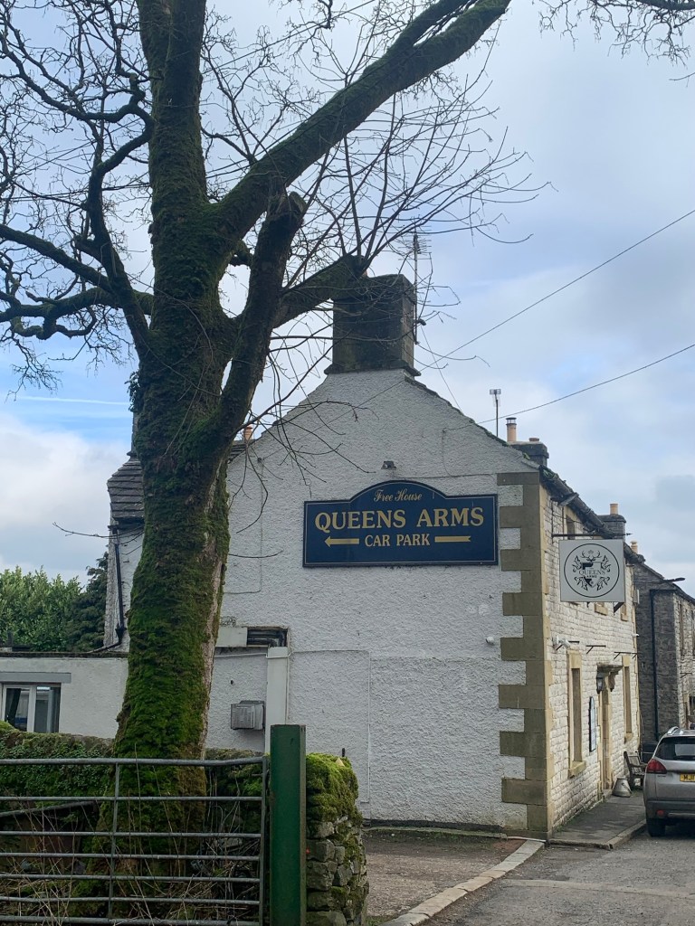
Pubs/Cafes
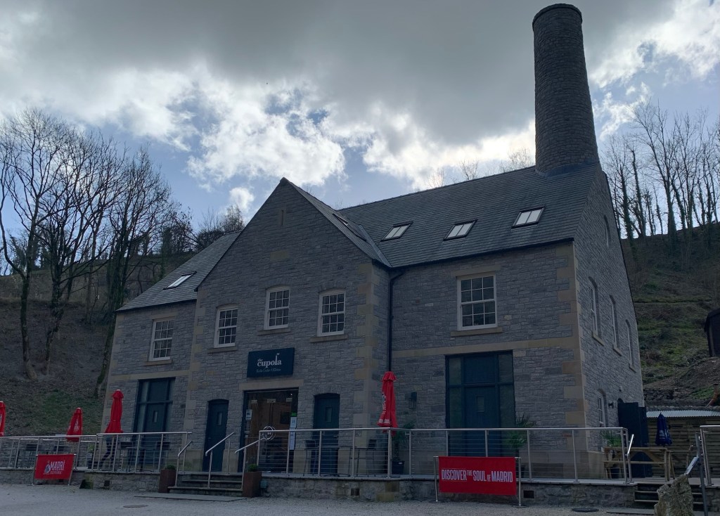
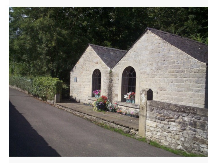
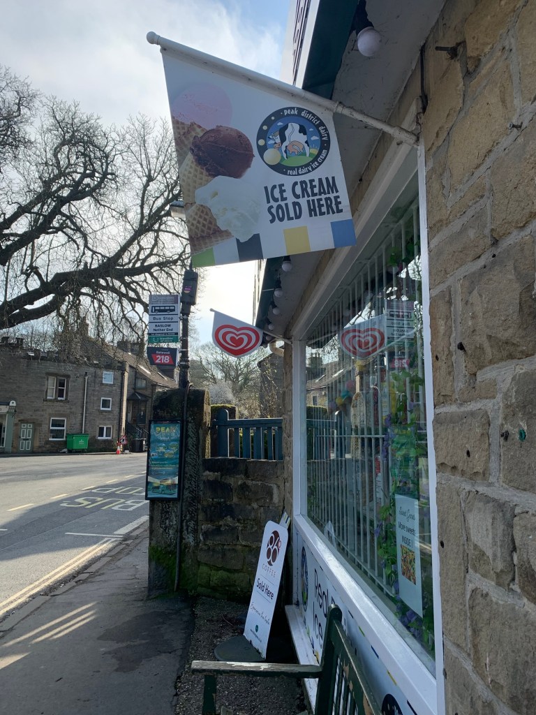
The Wild Kettle Cafe ( Bamford Garden Centre)
The Brook Cafe ( Bradwell)
Tideswell Lounge ( Tideswell)
How far?
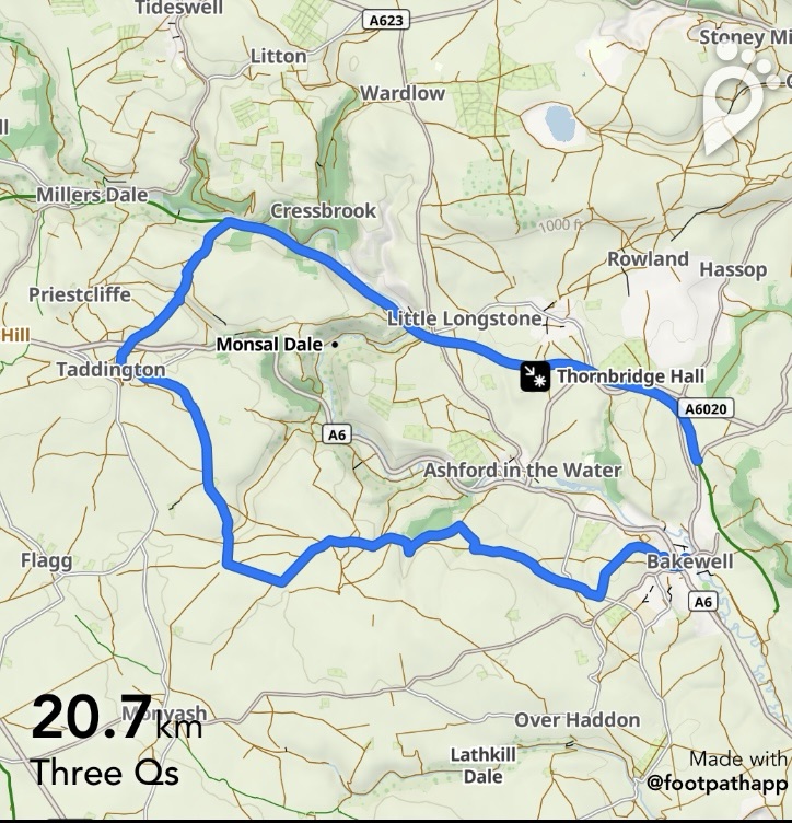
Around 20k
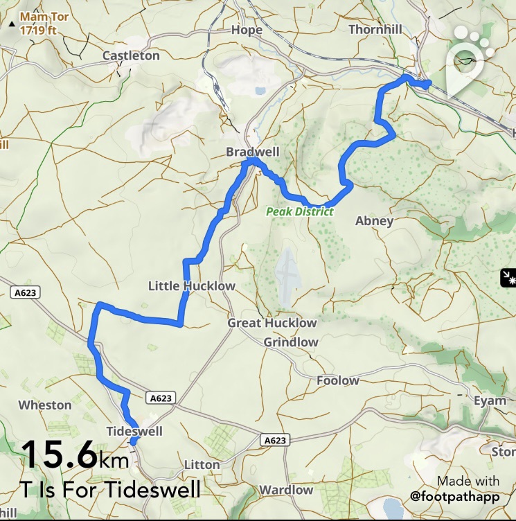
Route Synopsis
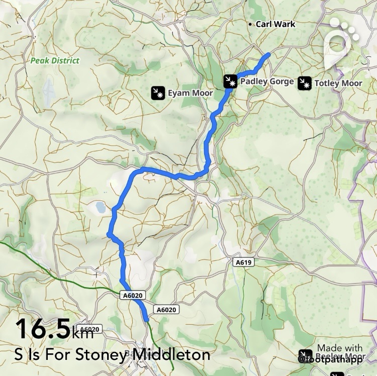
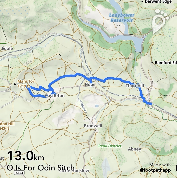
Bamford station/bus turning circle- Shatton- Shatton Moor- Robin Hoods Cross- Bradwell- Coplow Dale- Little Hucklow- Tideslow Rake- Tideslow- Brook Bottom- Tideswell
Dogs?
Okay for dogs
Map
OS Dark Peak and
OS White Peak