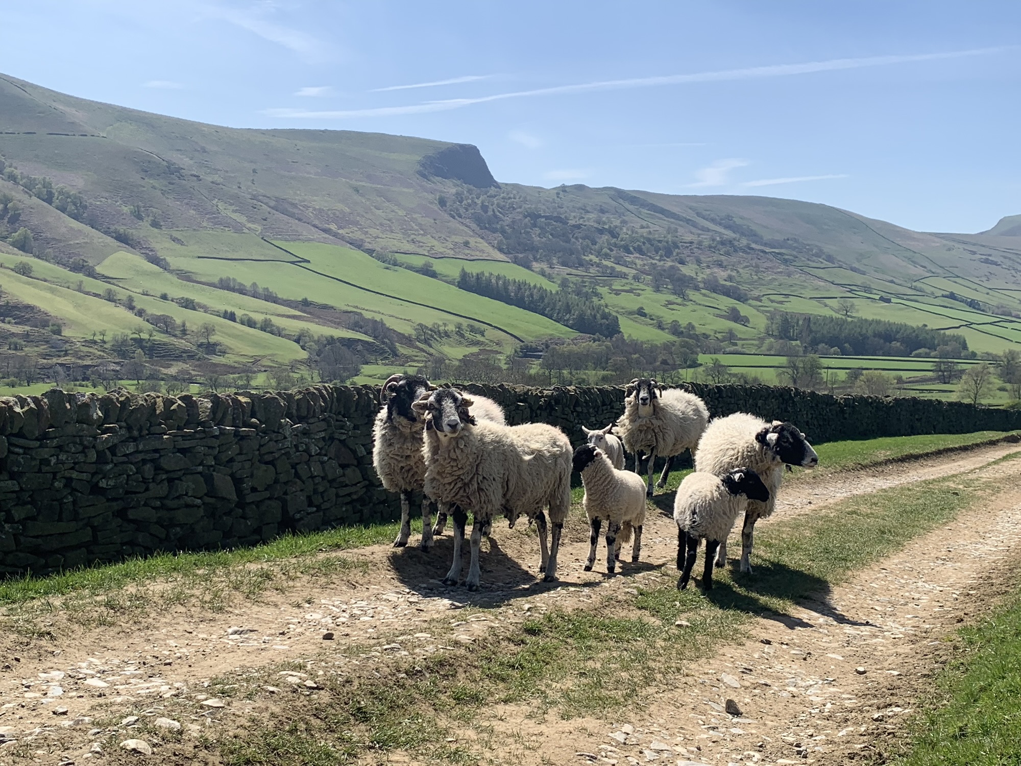
We are Ann & Jan and every week, come rain or shine, we head out for our weekly Peakland Walk.
We’re dedicated users of public transport too so all the start/finish points of our walks are served by bus or train from the city of Sheffield.
Over the years we’ve come to appreciate more and more the amazingly varied Peak District scenery on our doorstep and together with a seemingly endless number of footpaths to explore, there’s no danger we’ll ever be bored.
But just to avoid any chance of getting into a rut, we decided that in 2025 we’d walk through the alphabet.
So each week our walk featured a location that began with the next letter of the alphabet, A for Ashford in the Water, B for Bamford and so on. Last week we completed the whole alphabet ( yes, we even found a Z!) and it’s been so much fun we decided to start with A again next week.
With our second journey through the alphabet we are looking forward to visiting some different locations to last time but also to revisiting some of our favourites from the first.
And this time we’re inviting you all to share our experiences with us via this blog.
We’re hoping you might be inspired to create your own alphabet of walks, maybe try some of the ones we describe here, perhaps discover a new bus route or find a new place to go….or maybe just sit back and relax and read all about it from the comfort of your easy chair.
At least we hope you will find something here to enjoy and interest you.
Disclaimer
We’ll be making every effort to be as accurate as possible with all our information but we can’t be held responsible for changing bus times, closed footpaths and so on, so please do check for yourselves before following in our footsteps, wear appropriate clothing, take a map and provisions, check opening times of cafes, pubs etc and always follow the country code.
We want you to enjoy the Peak District as much as we do!
Well, that’s enough of an introduction.
We look forward to you joining us soon for one of our Alphabet Walks
Happy hiking, Ann & Jan
How To Use Peak Walks
Each alphabet post follows the same format as outlined below-
The first part consists of an informal commentary on the walk and additional local interest. Links are provided for more in depth information for those who are interested.
Photos are included to help record the walk and as an aid to following the route.
After the commentary is a map photo showing an overview of the route.
Use the link to access an expandable, interactive map of the route, showing the exact route we followed.
Download the Footpath Route Planner App onto your phone in order to follow your own progress on the map ( shows your location and strongly recommended for a hassle free walk.)
Below the map link is a route synopsis which you can use to help plot the route on your own OS map ( also highly recommended especially for planning ) together with information about bus routes, refreshment stops etc which should all be checked for current validity before setting out.