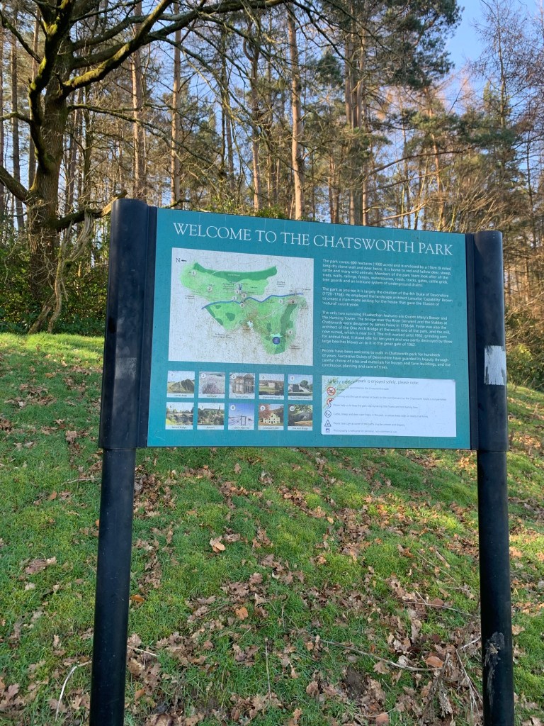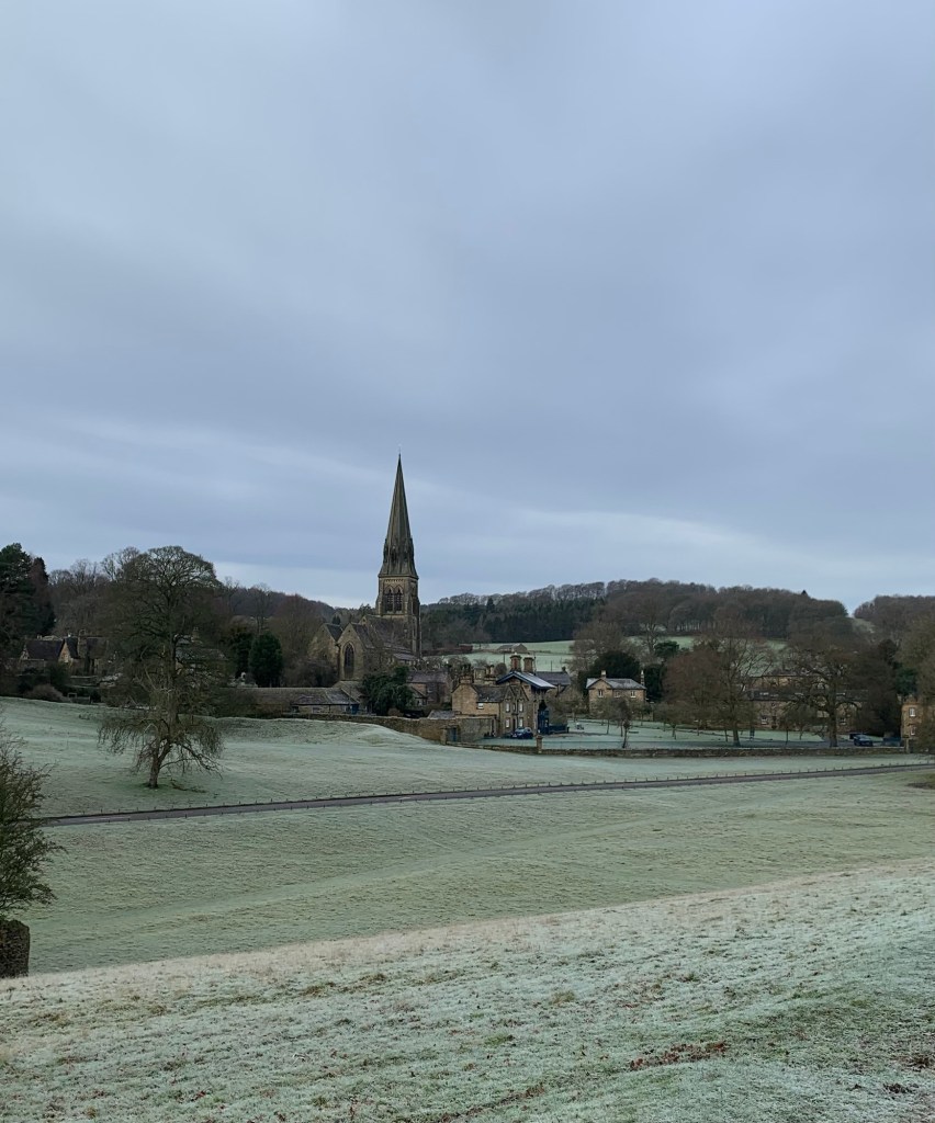
Hello and welcome to our penultimate blog. The excitement is definitely rising as we approach the end of the alphabet and the conditions today could not be bettered for our wander around the Derbyshire Dales.
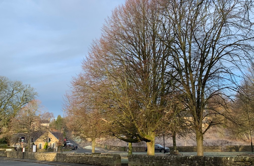
We start with the old familiar 218 bus to Bakewell
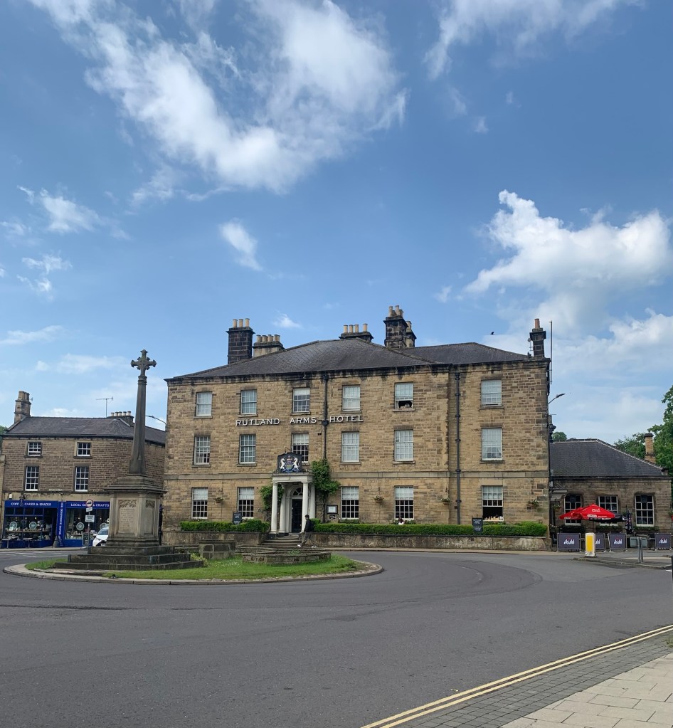
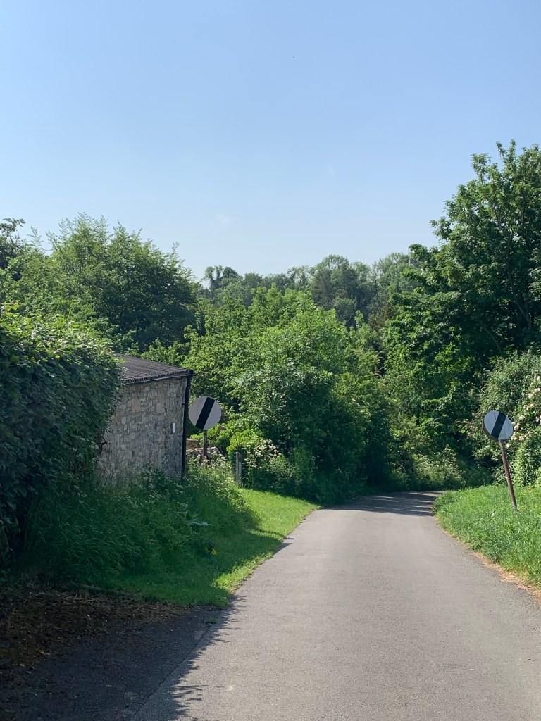
and the equally familiar route out of town up Butts Road and onto Yeld Lane.
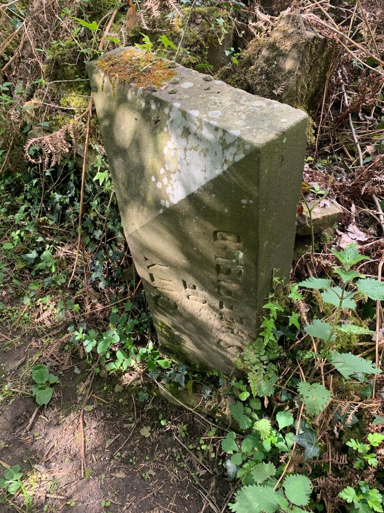
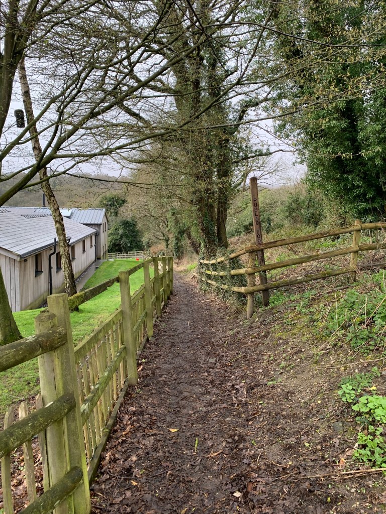
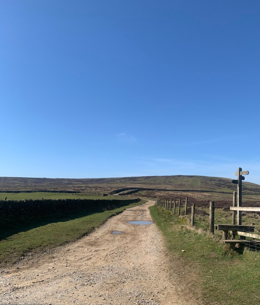
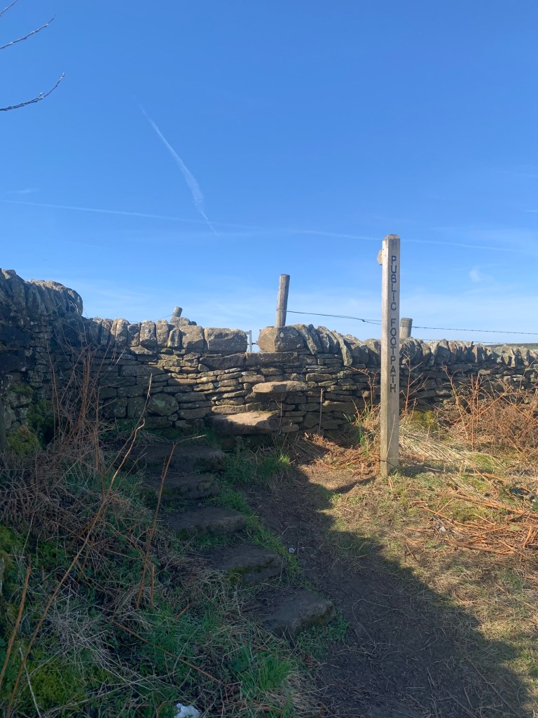
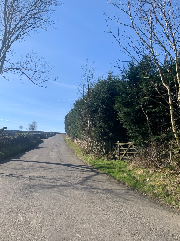
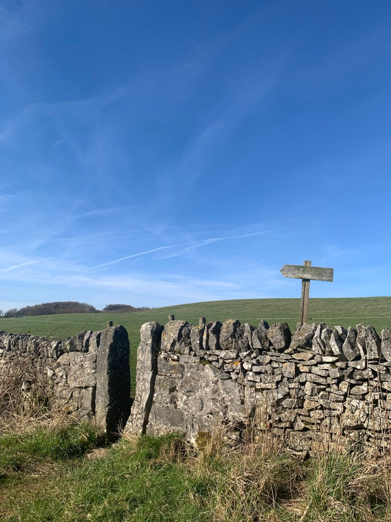
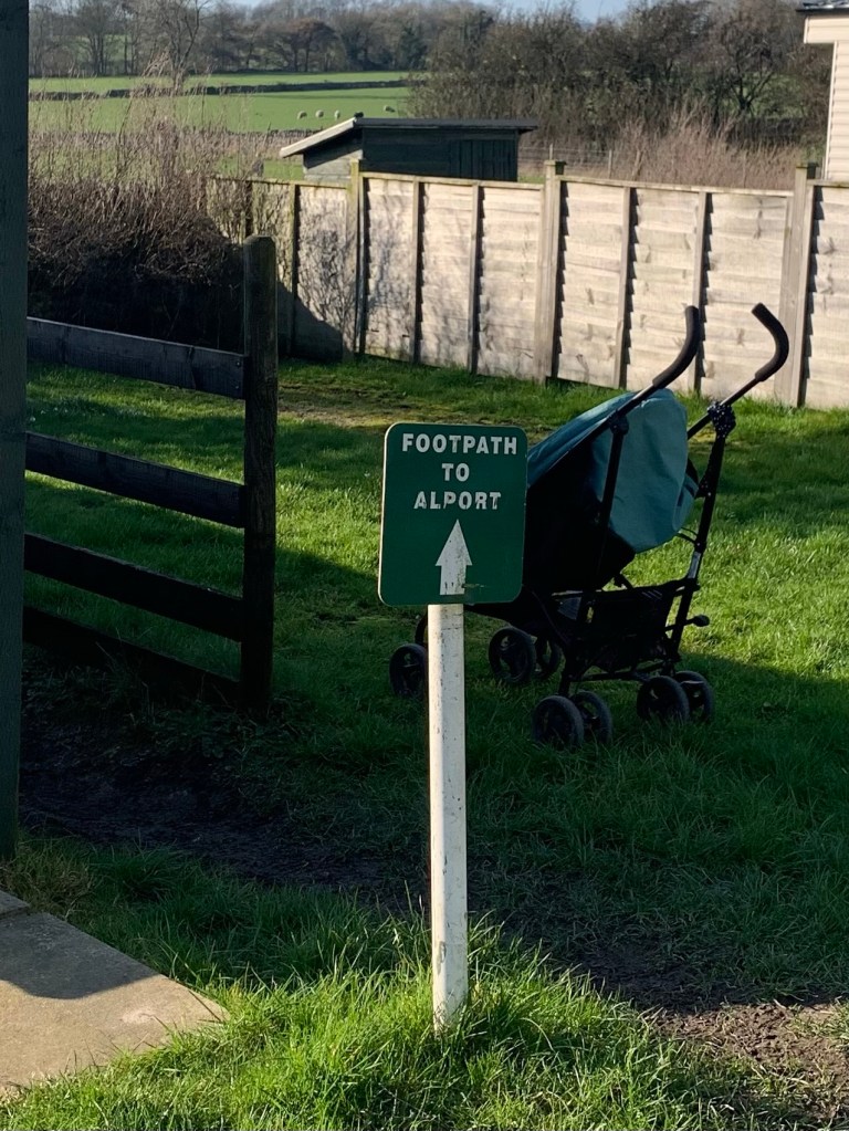
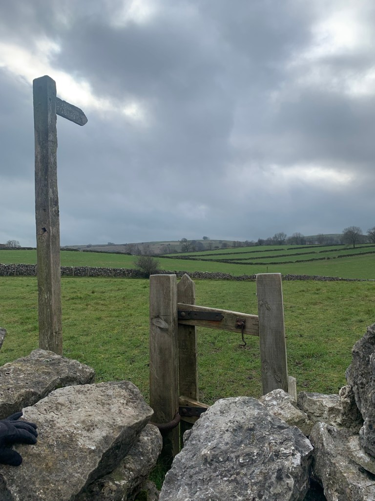
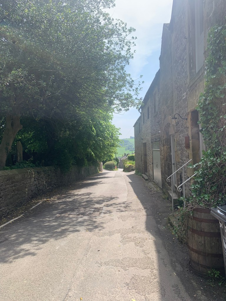
At this point, unlike previous walks out of Bakewell we continue ahead and then left onto Shutts Lane and a little way along here we take our first footpath signed on the right hand side of the road.
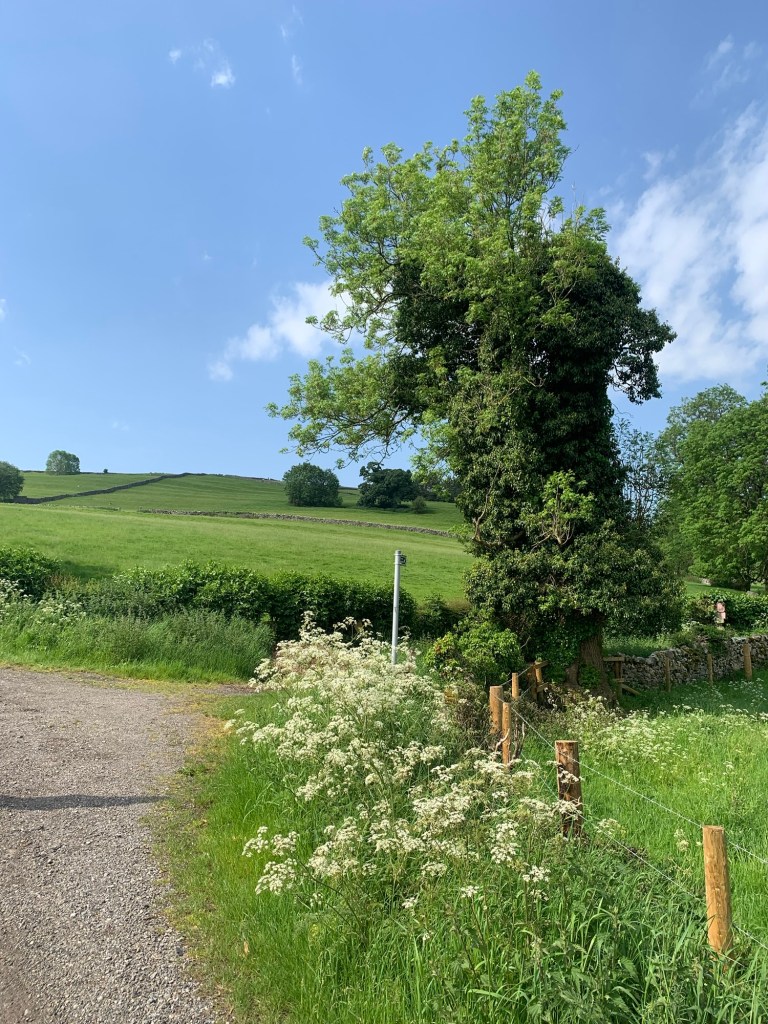
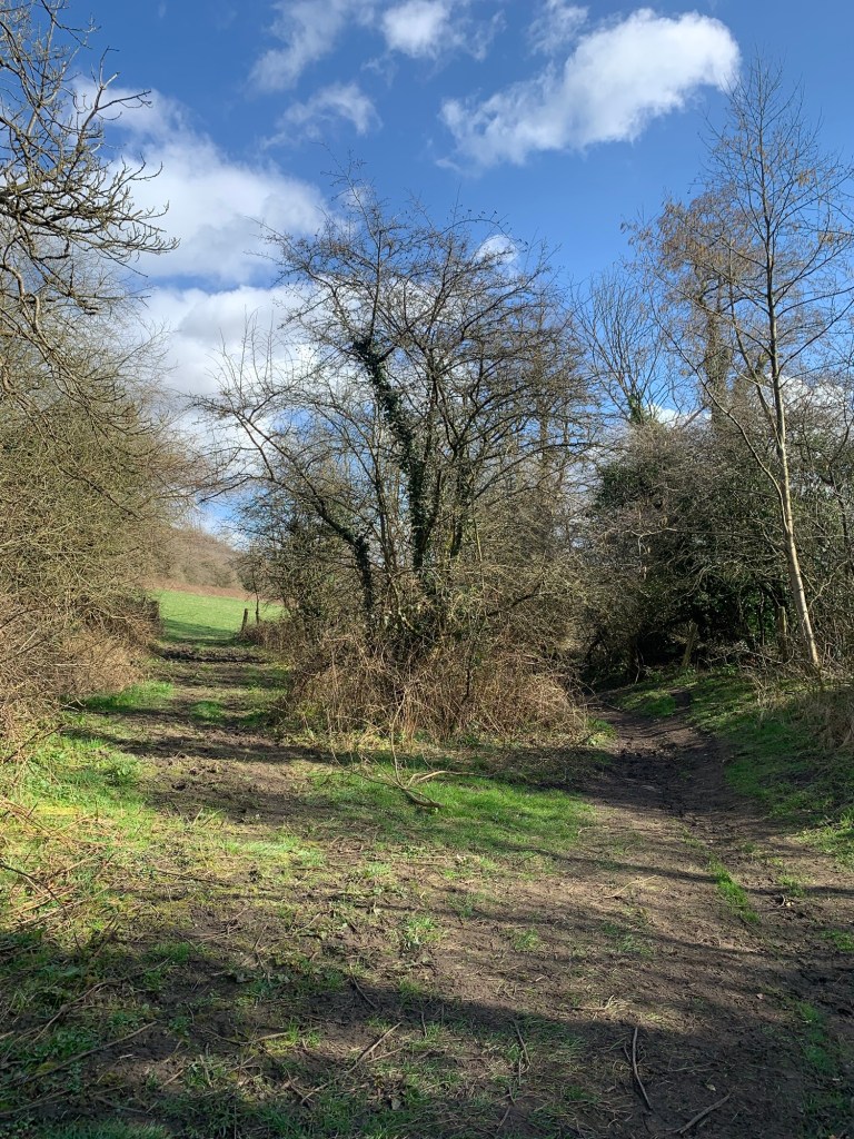
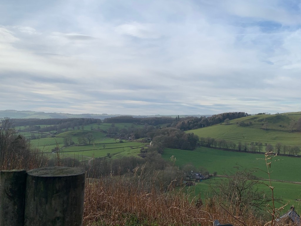
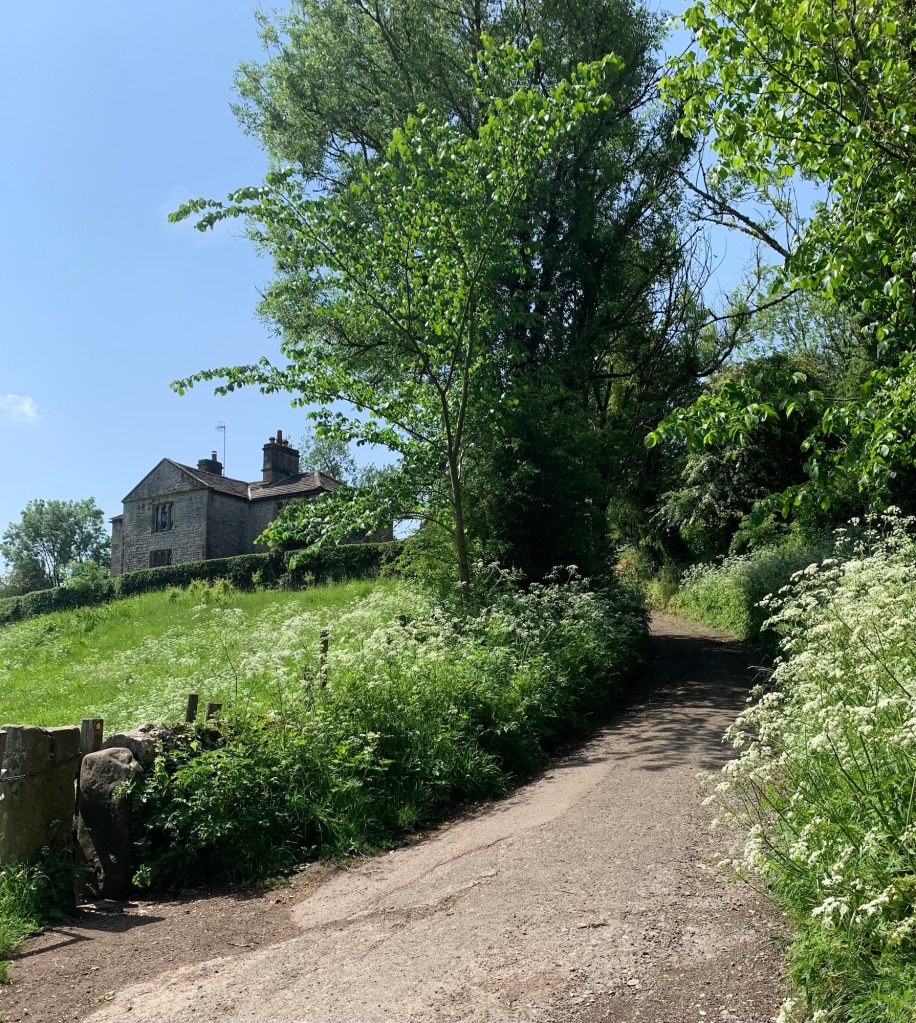
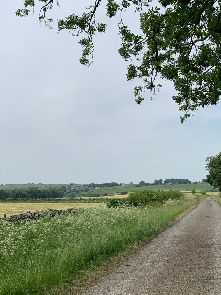
We once walked back this way into Bakewell but everything looks different the other way on so this feels new and, especially today, it’s a very beautiful way out of town.
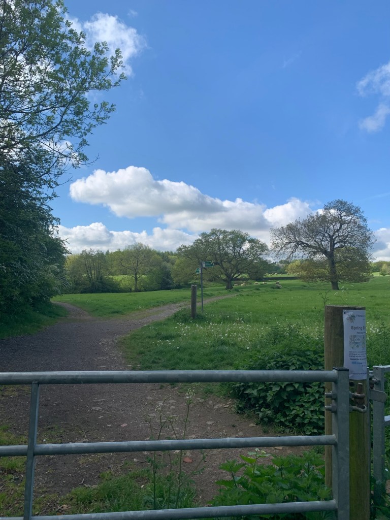
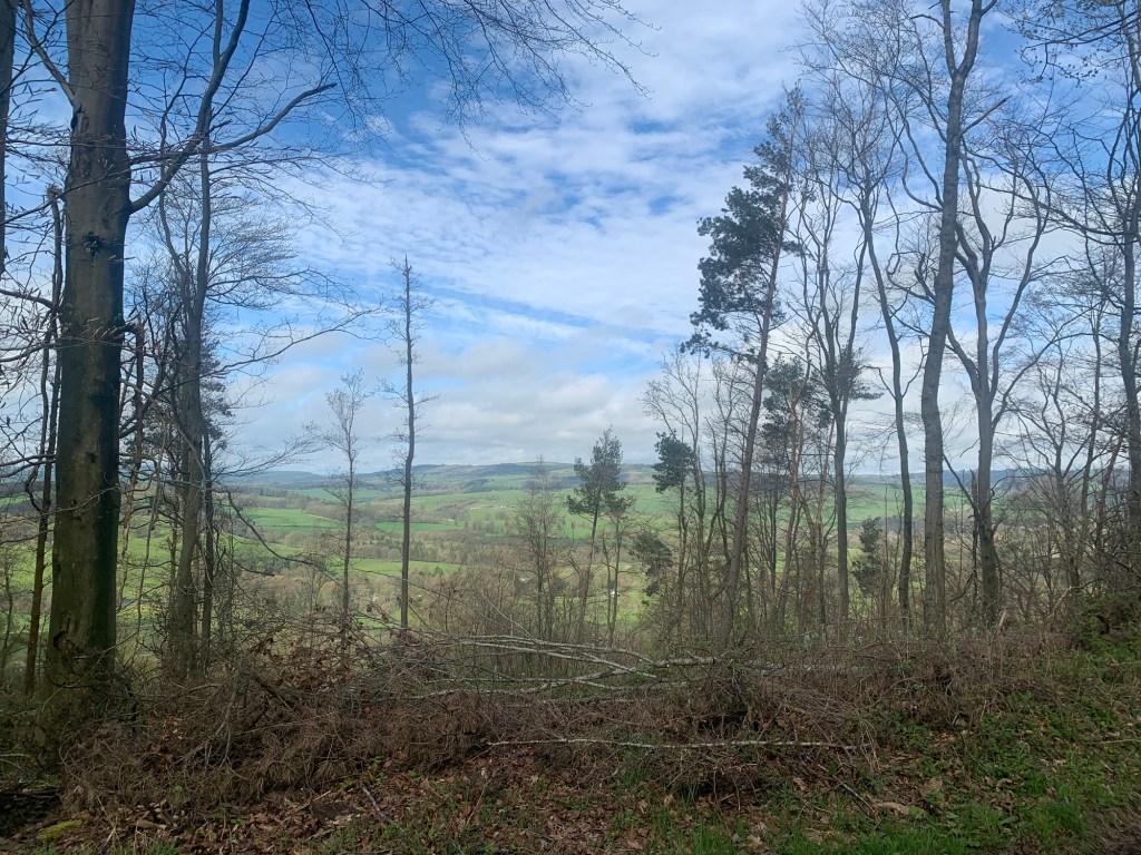
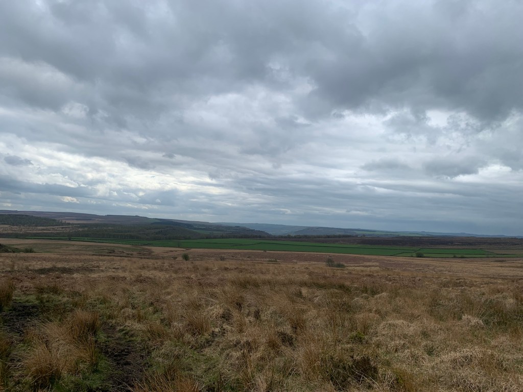
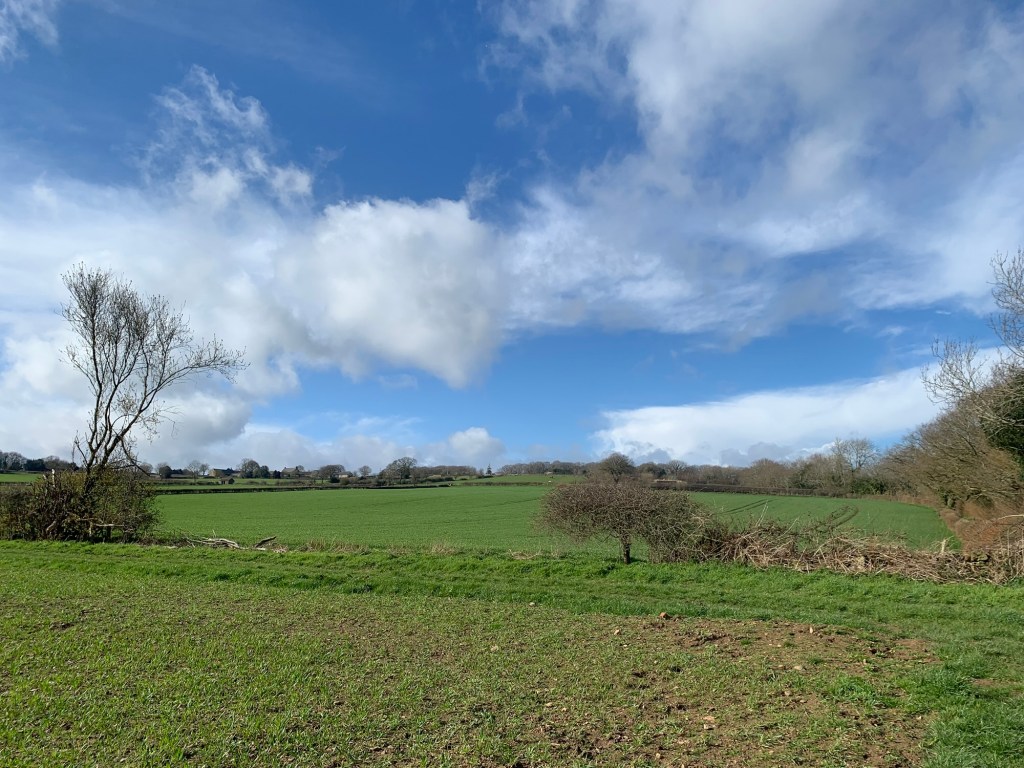
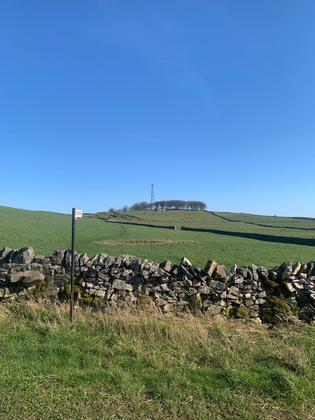
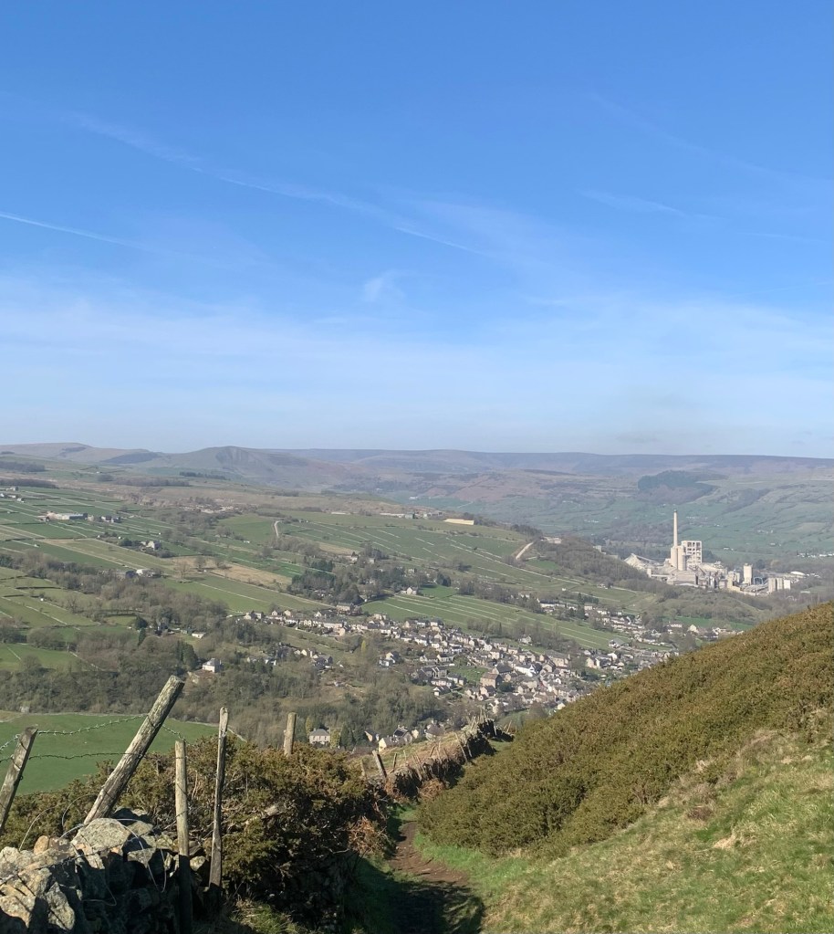
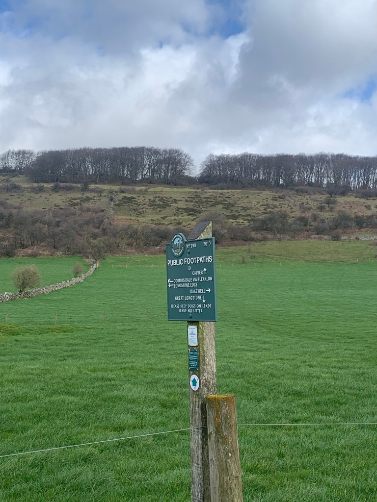
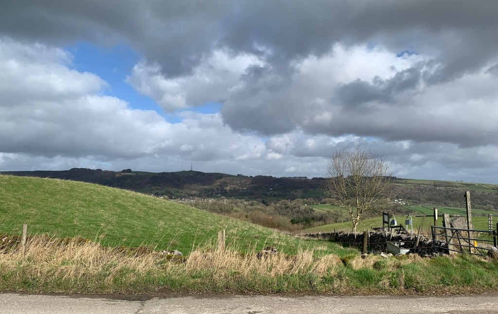
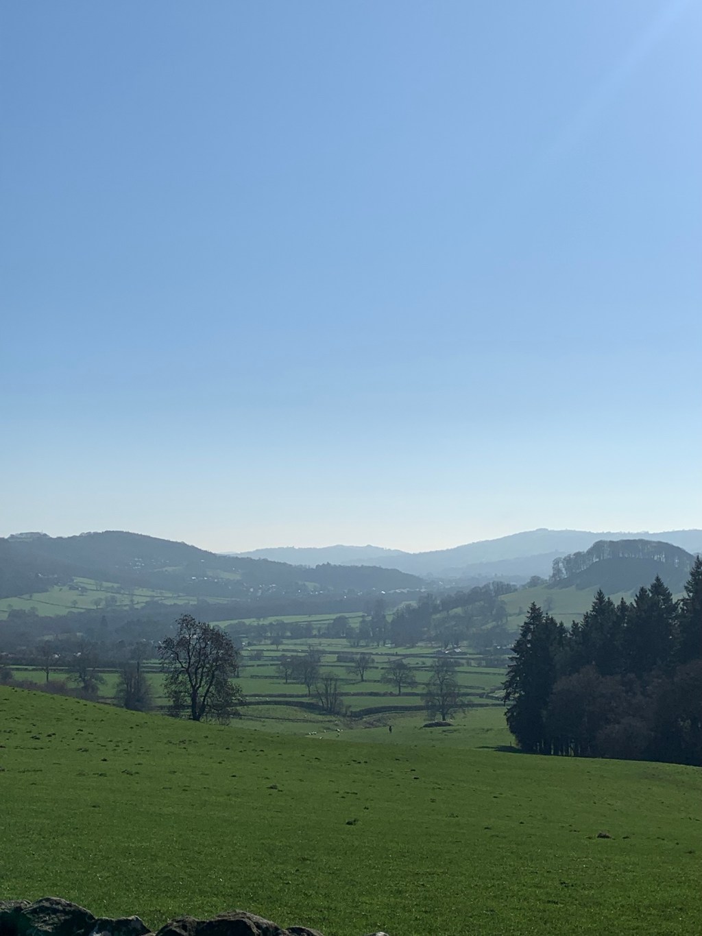
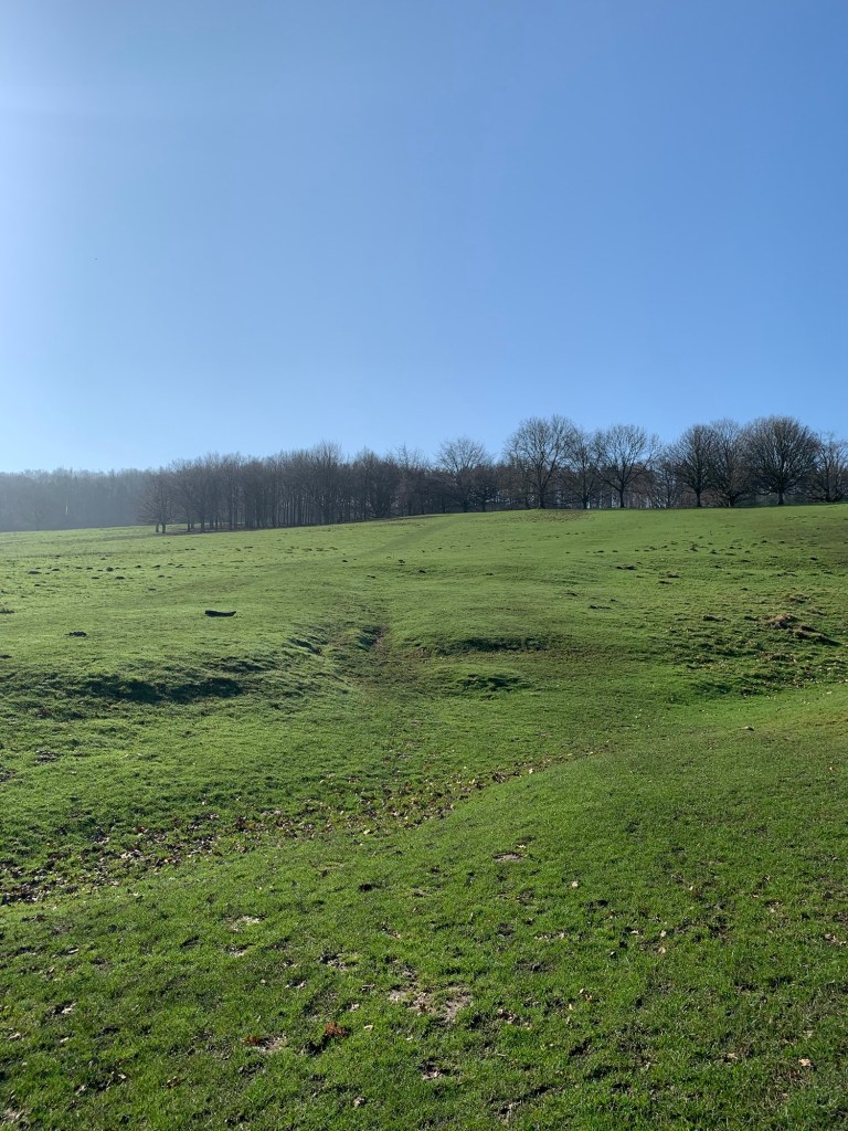
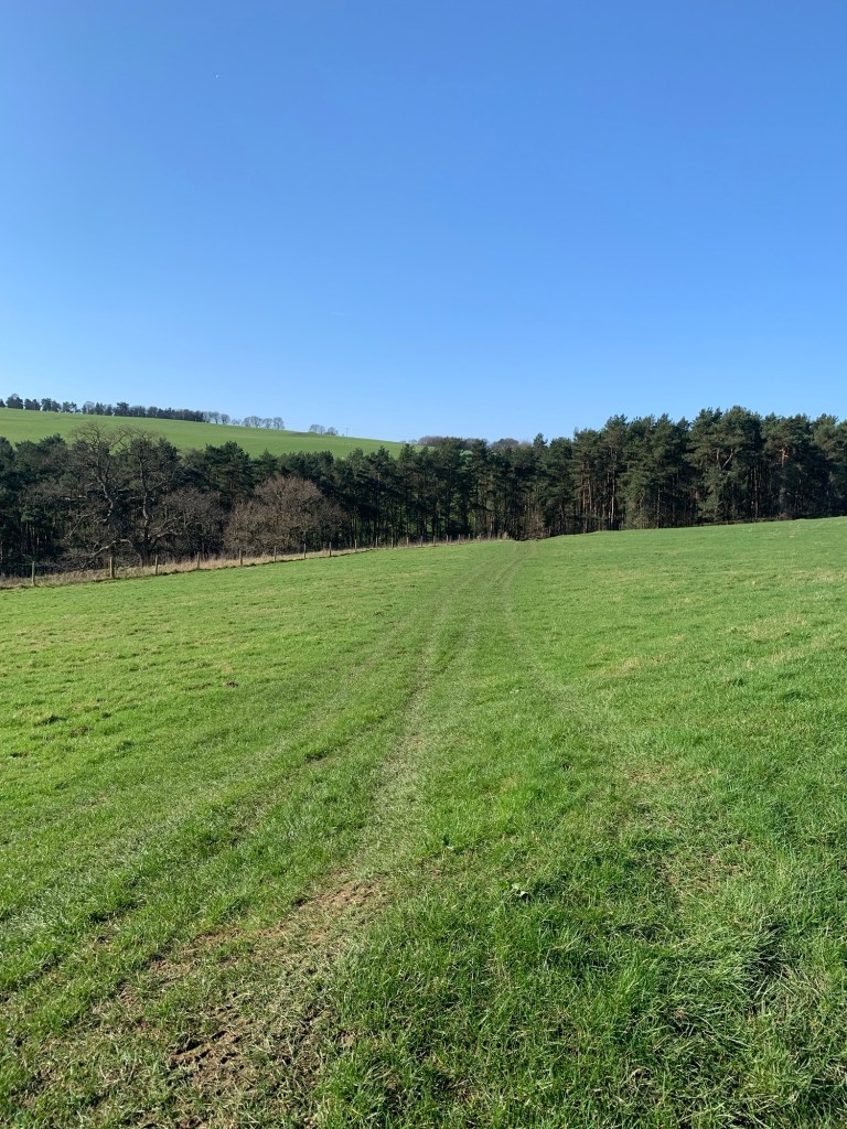
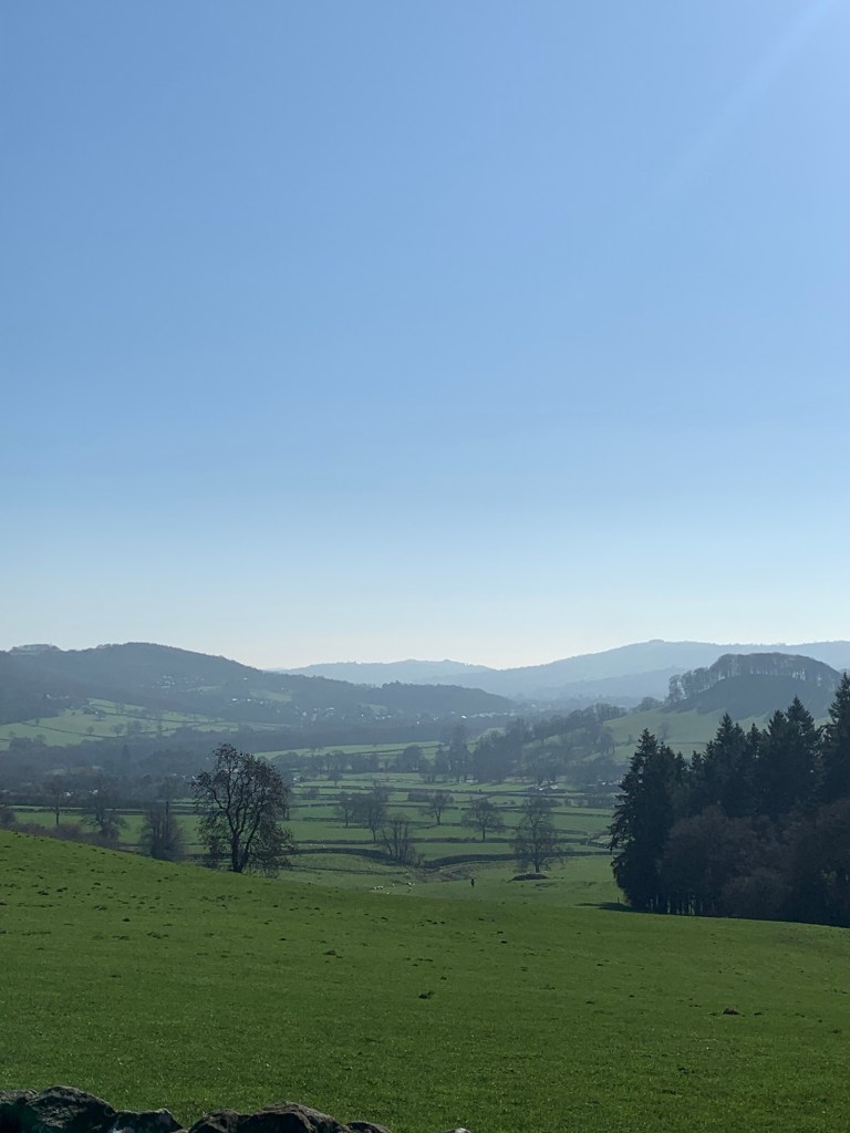
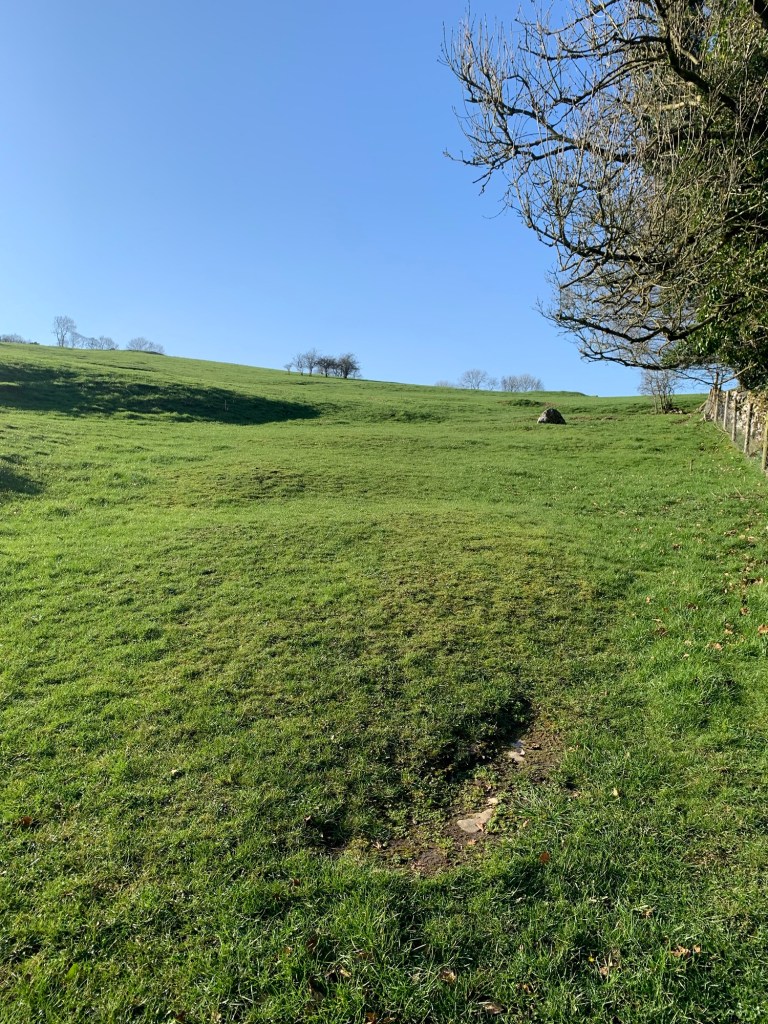
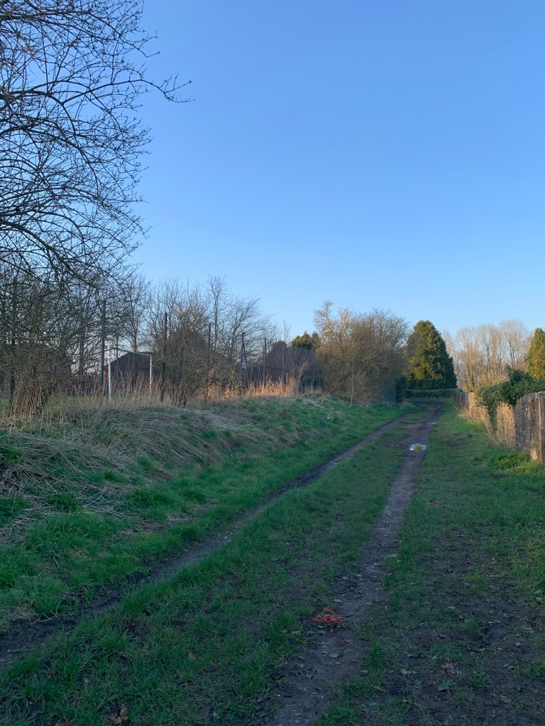
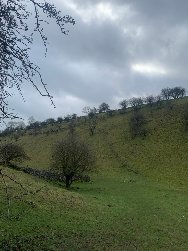
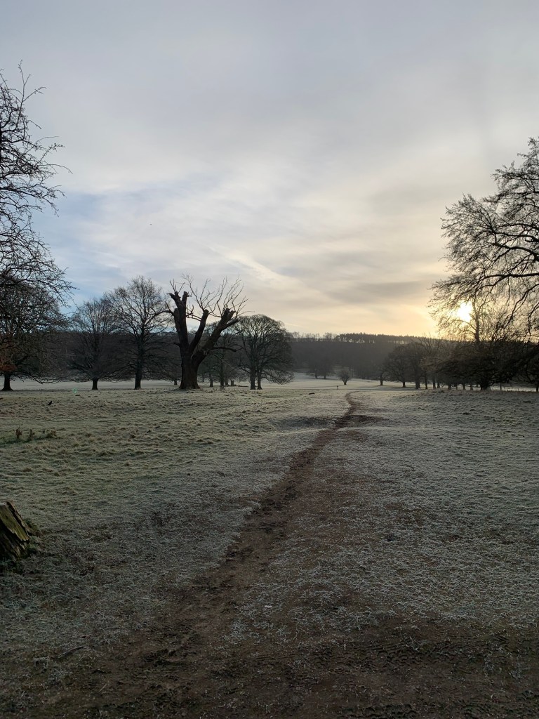
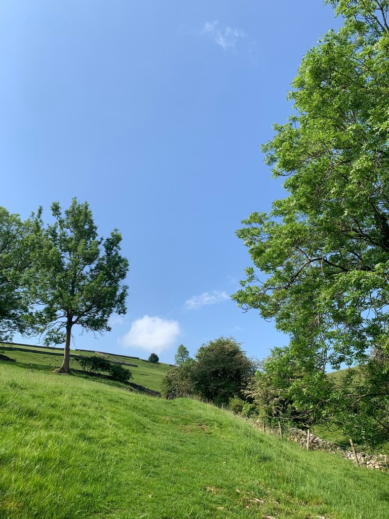
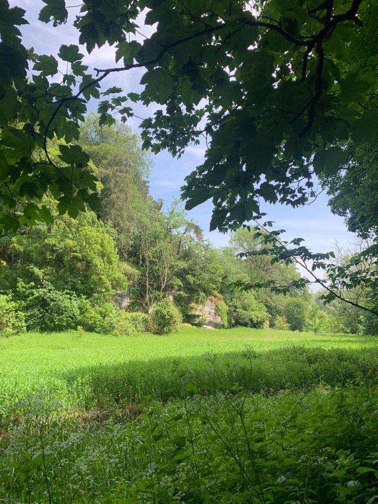
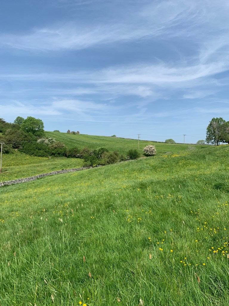
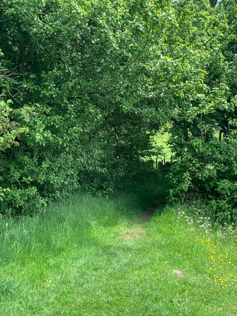
The path is well signed and we have soon gained some height passing through lovely meadows before emerging onto Bakewell Road.
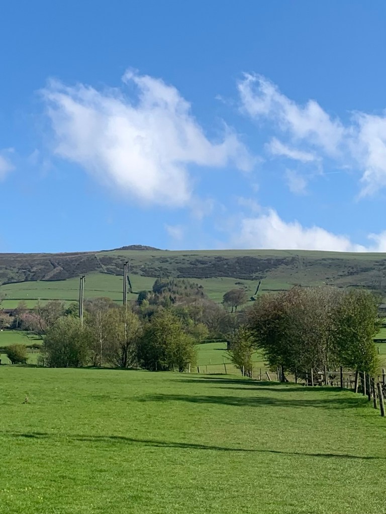
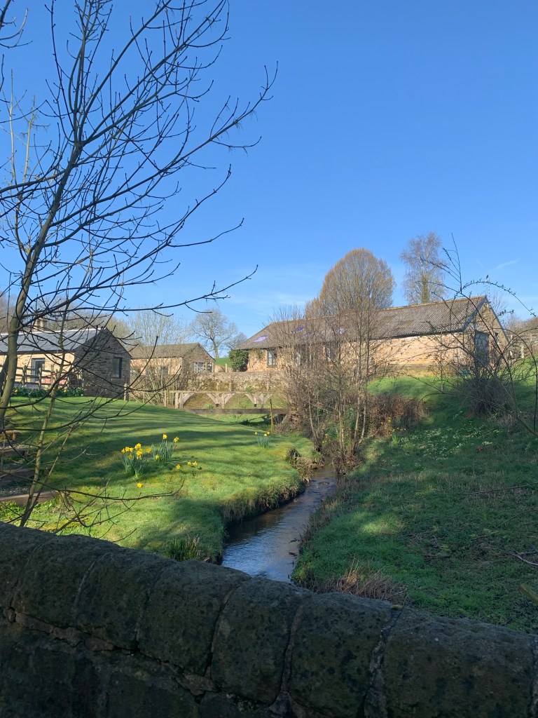
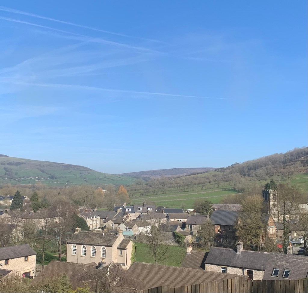
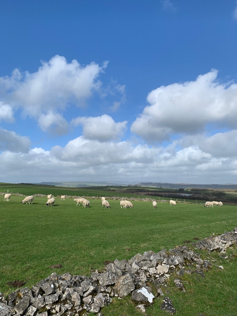
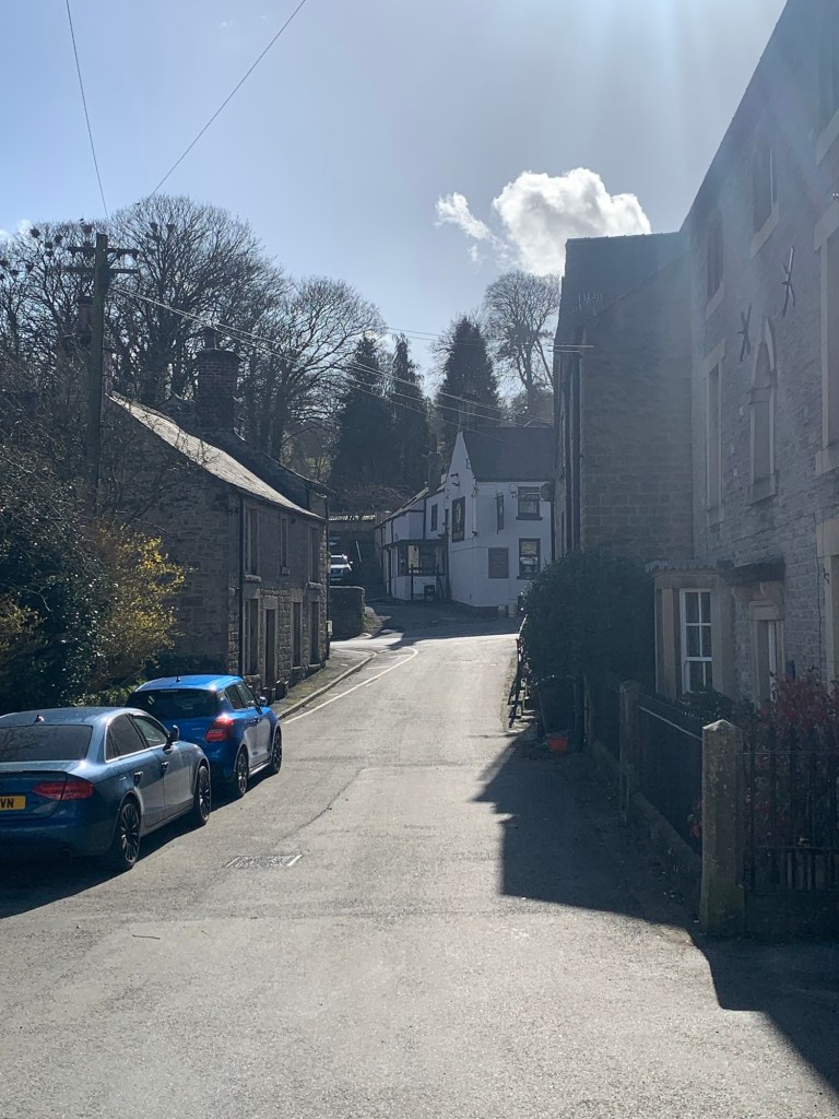
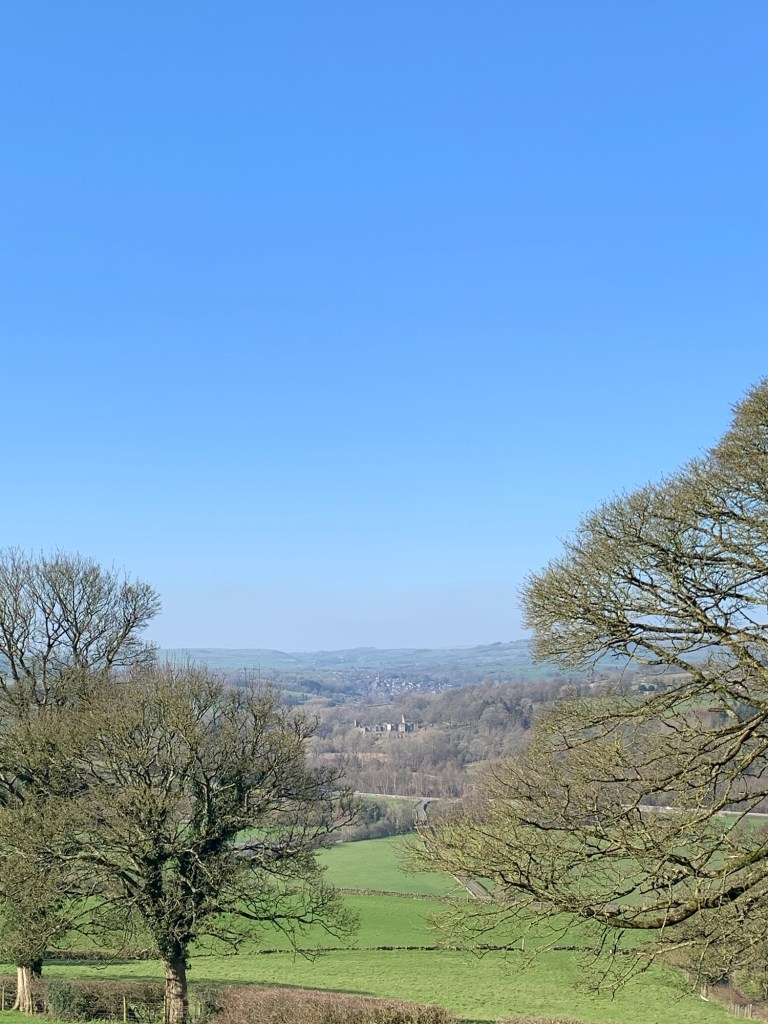
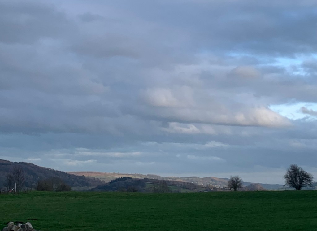
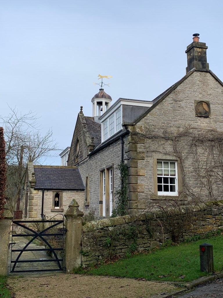
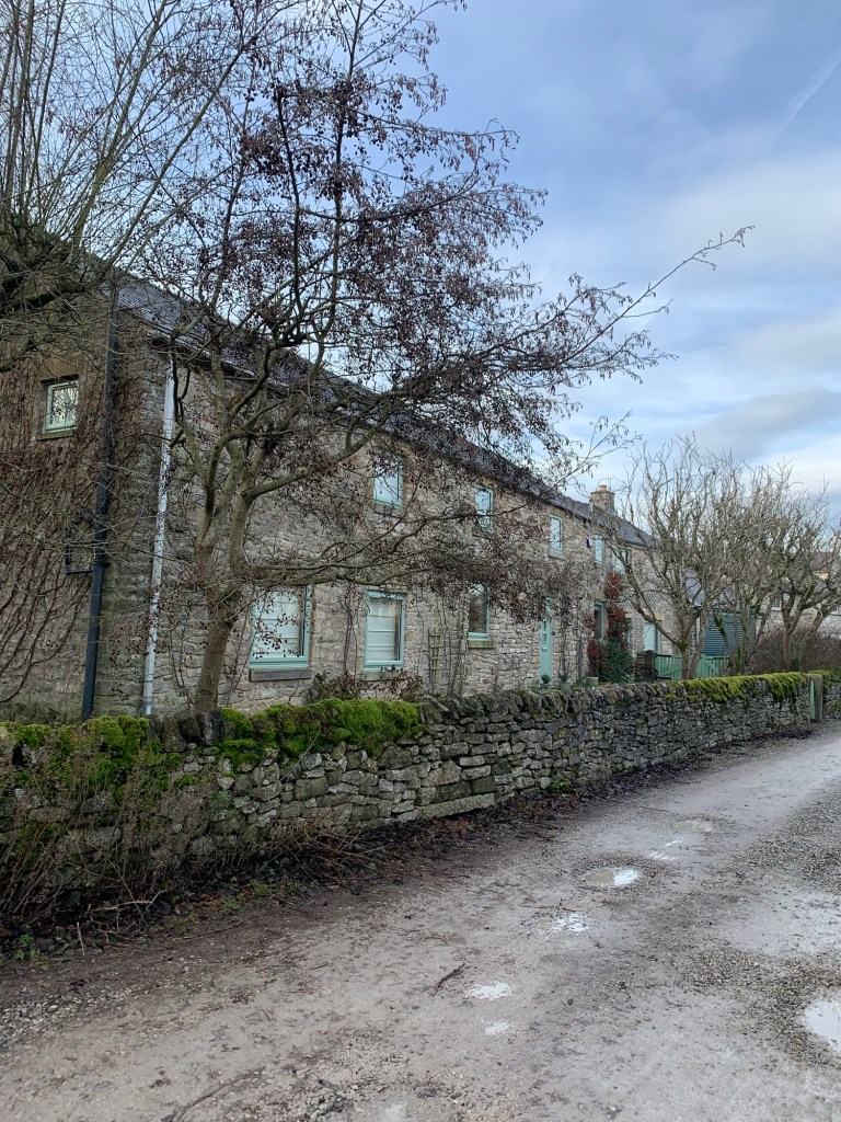
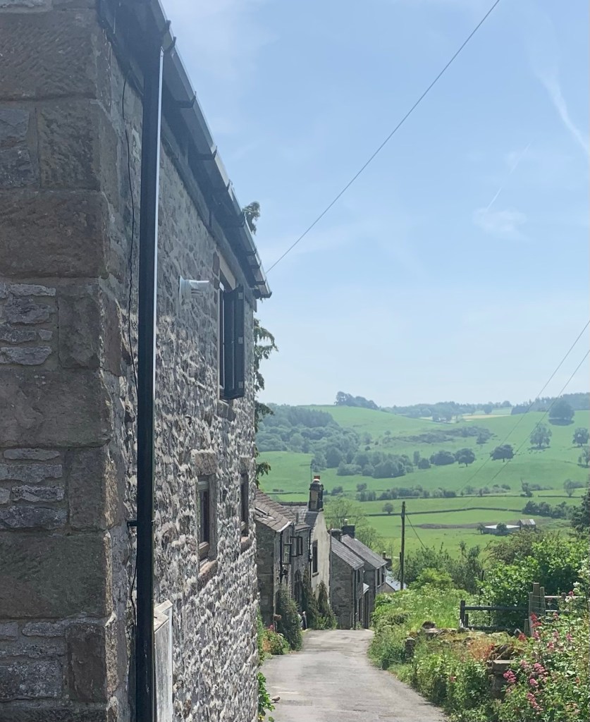
Left along the road, we’re soon approaching Over Haddon and the village is looking as lovely as the surrounding countryside on such a sunny day.
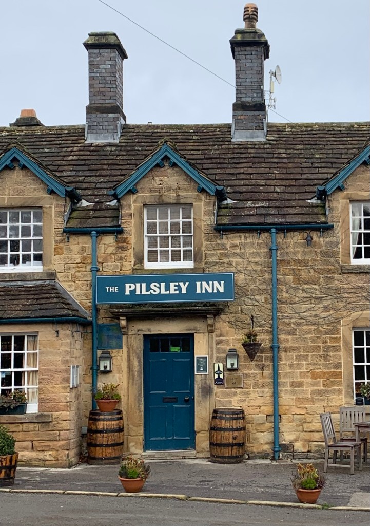
We head second right along Main Street( avoiding the temptation to turn left for the Lathkill Hotel as it’s much too soon to stop yet awhile) and we pass the pretty public amenity garden Thurlby Gardens
aswell as a series of characterful cottage gardens and characterful cottages too.
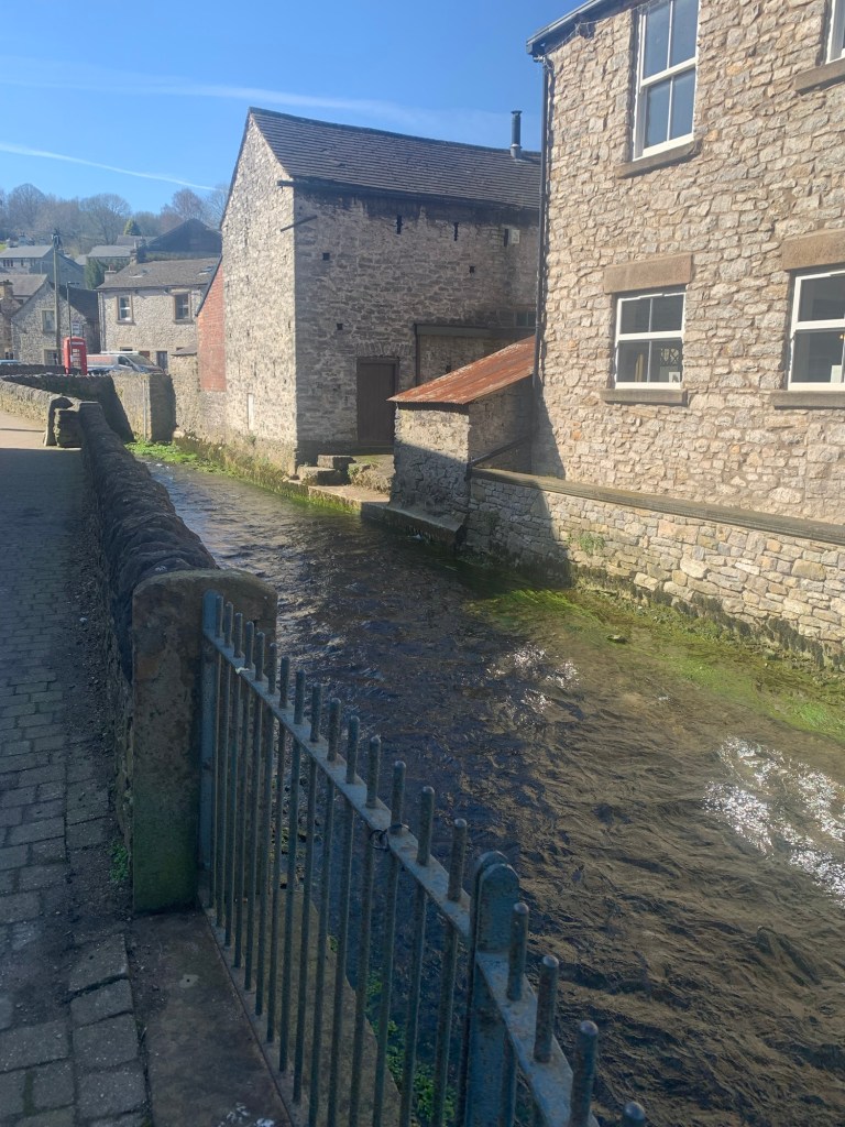
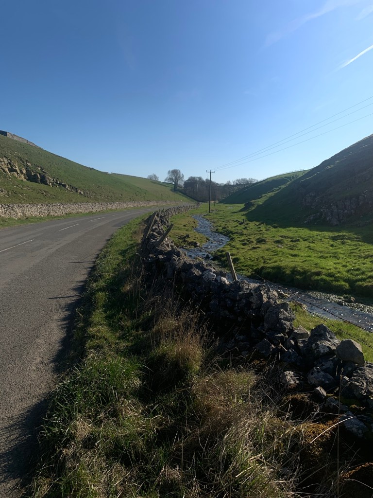
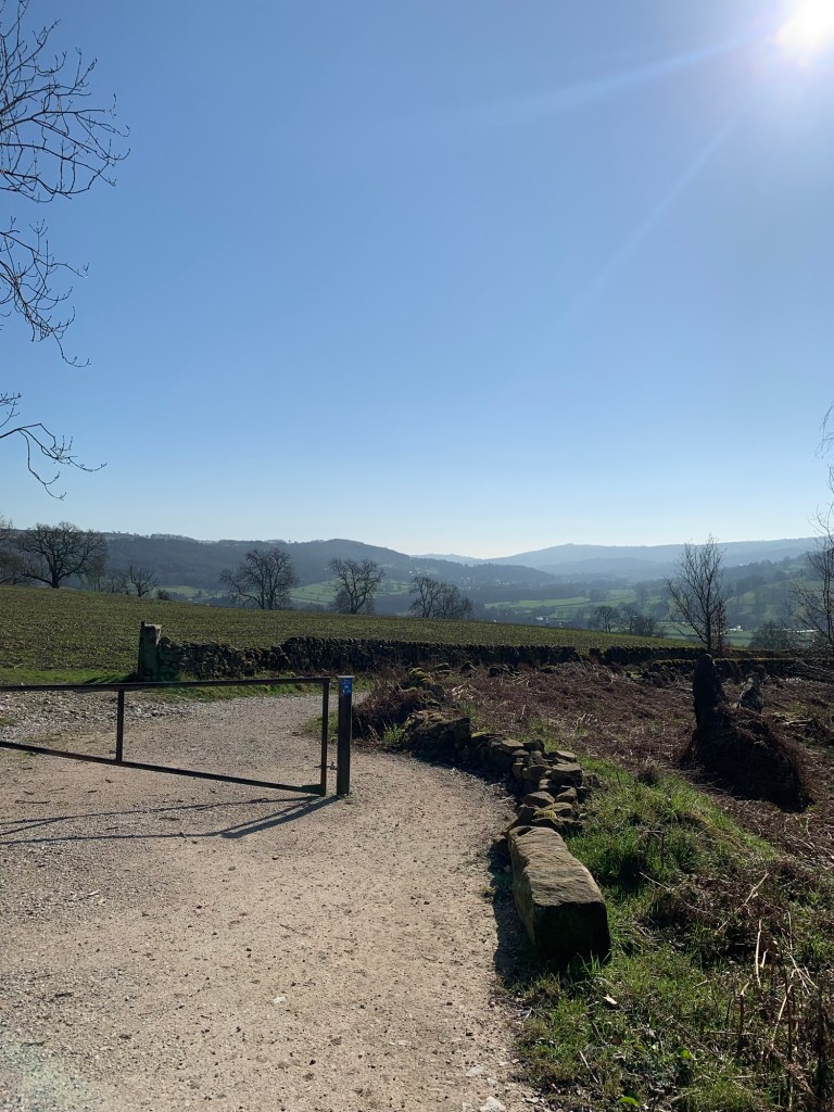
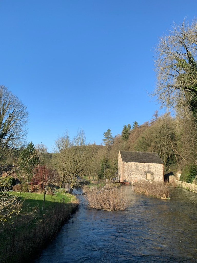
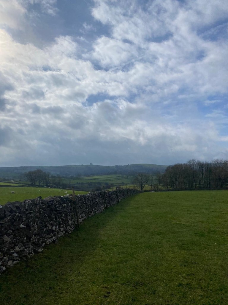
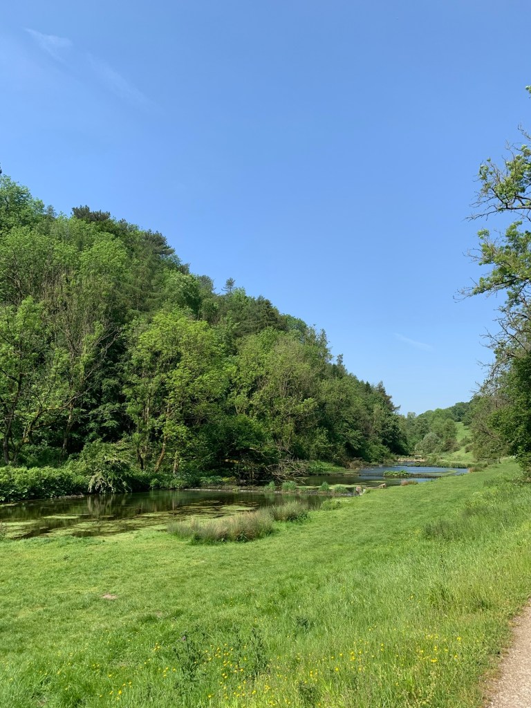
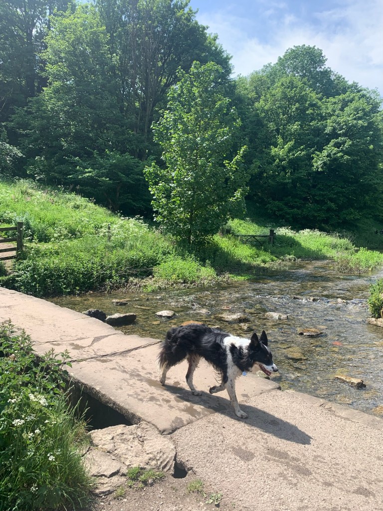
There’s a handy public toilet in the car park at Over Haddon and then it’s steeply downhill to the valley bottom and the beautiful river Lathkill.
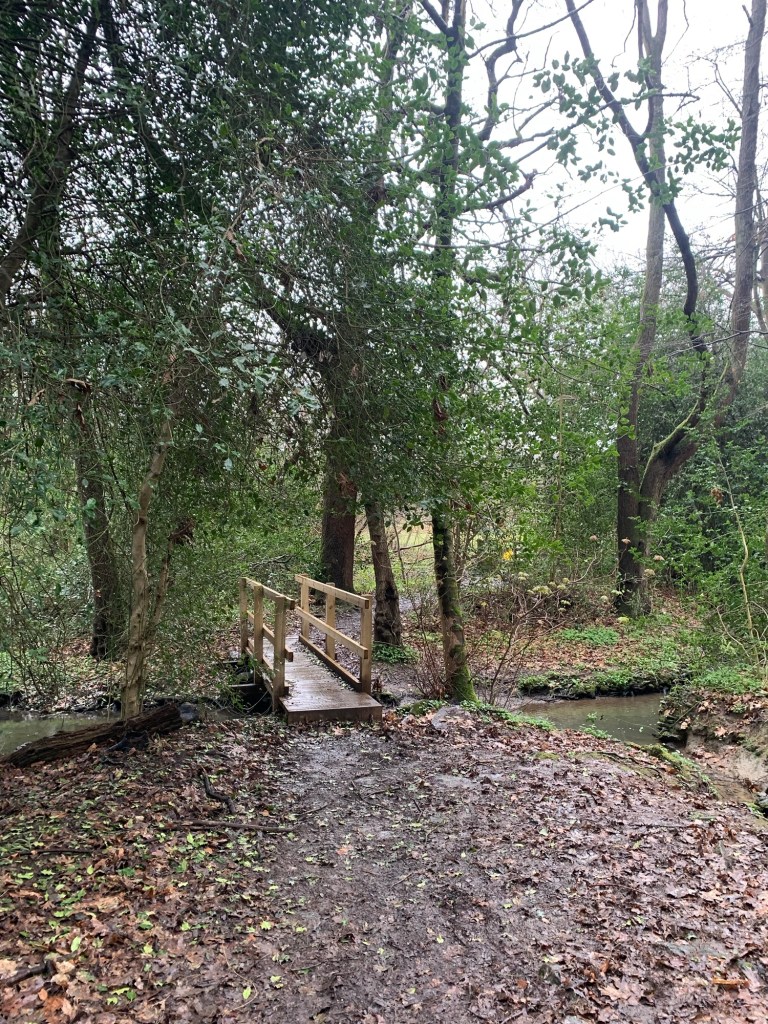
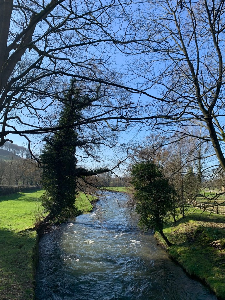
Today we turn left along the river path and since we’re wearing our shorts we’re relieved that there aren’t too many nettles waiting to get us.
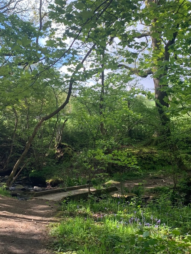
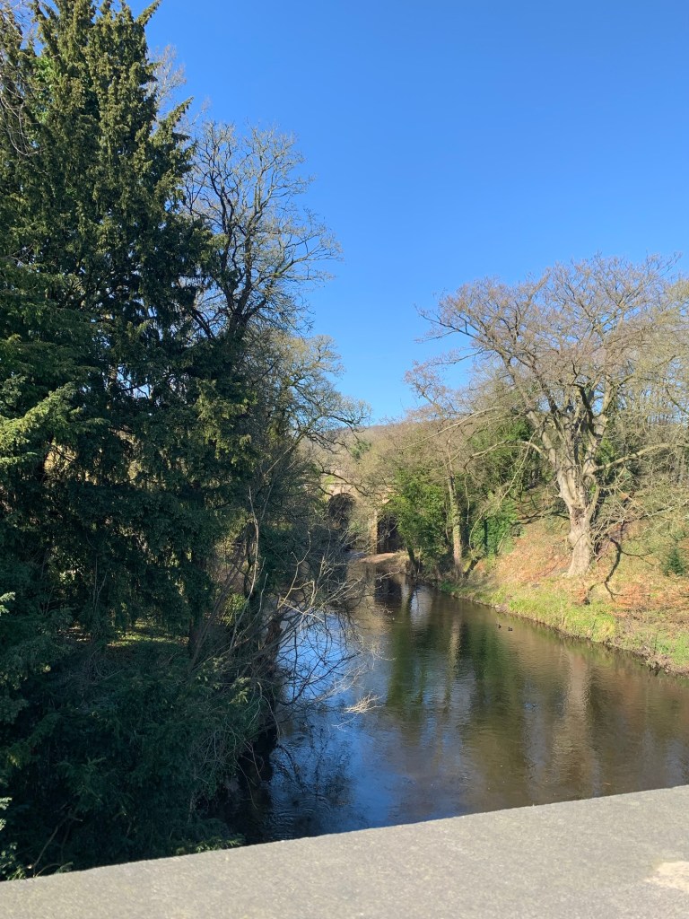
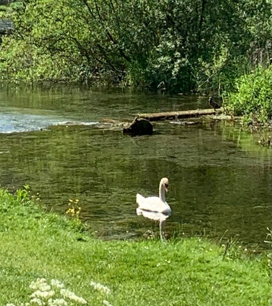
At first the river is very overgrown but it soon shows itself, such a beautifully clear watercourse it’s the splendid home to a number of very lucky ducks and their ducklings and even a gracious swan.
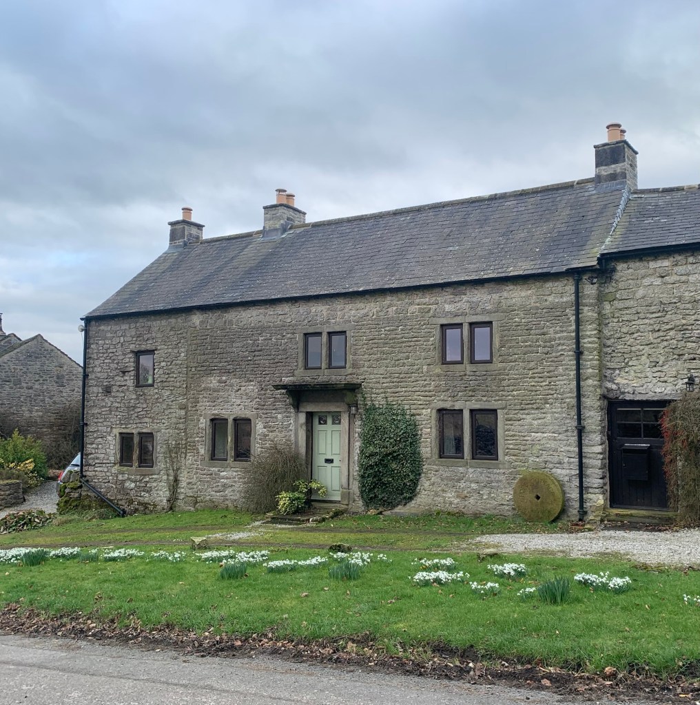
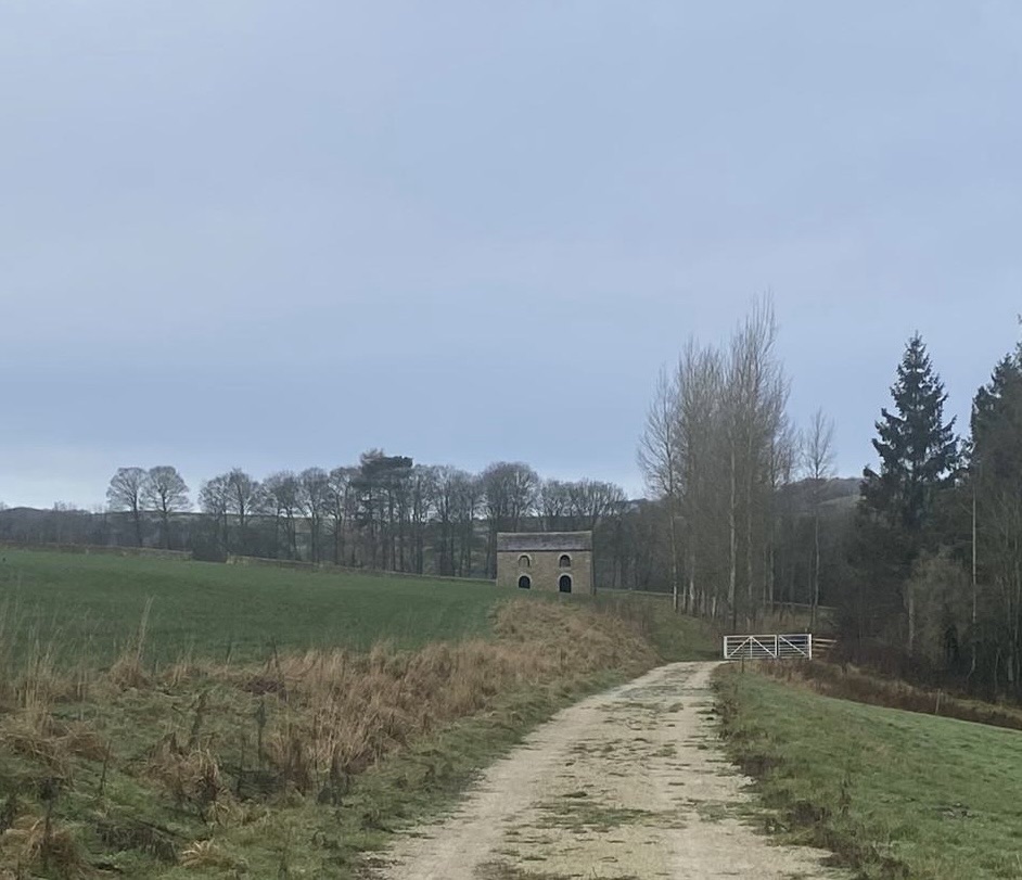
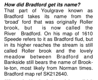
The river path emerges onto the road just before Conksbury Bridge which we cross after turning right and then a few hundred metres along a Quiet Lane we turn left along the footpath ( now on the other side of the river and further from the water) towards Raper Lodge. I have talked about this building before ( see D for Darley Bridge) and it’s use in the film of DH Lawrence’s The Virgin and The Gypsy and I certainly recommend the links ( reposted here) for fascinating local info on this.
https://www.youlgrave.org.uk/wp-content/uploads/2020/06/The-Virgin-and-the-Gypsy-50-years-on.pdf
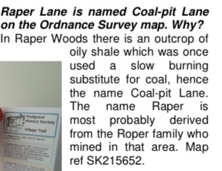
Today we turn right up Raper Lane, marked as Coal Pit Lane on the map, passing the lodge on our left hand side.
What a misnomer for such a pretty lane resplendent with wild flowers in the hedgerows…but perhaps it wasn’t always the case? As with so much of the Peak District which nowadays belies its industrial past.
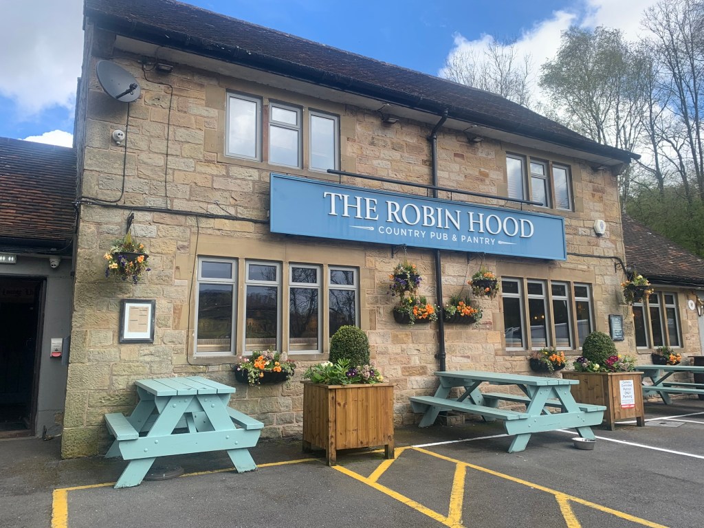
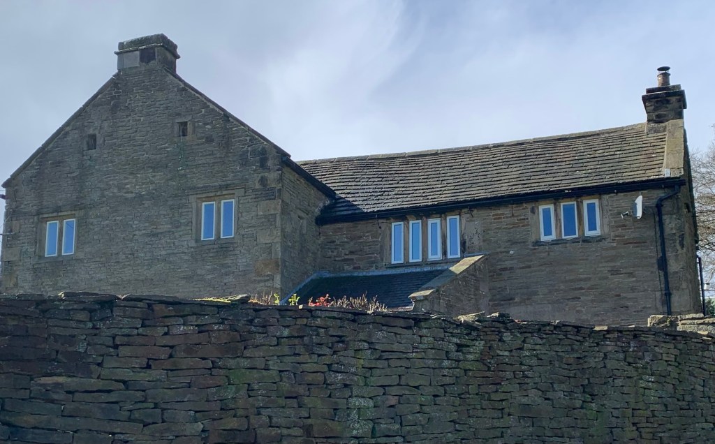
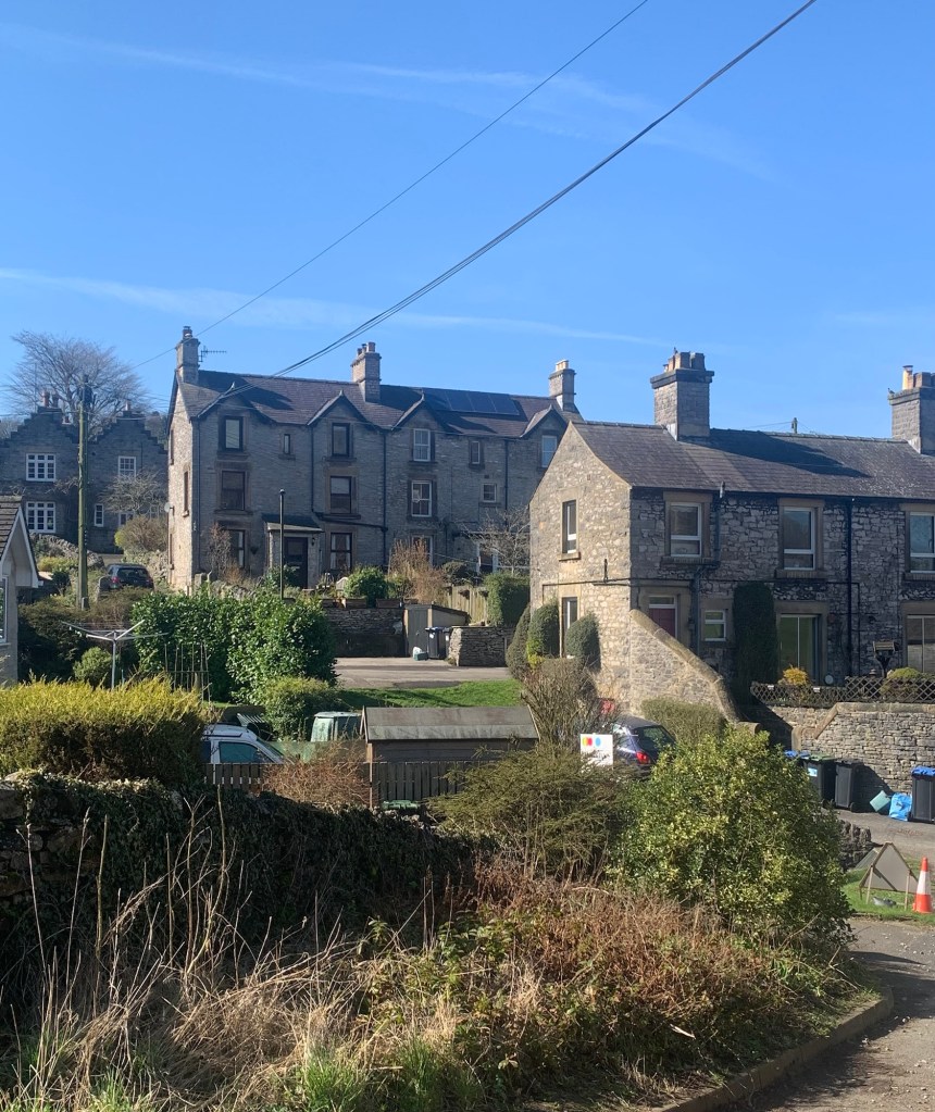
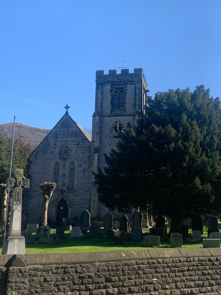
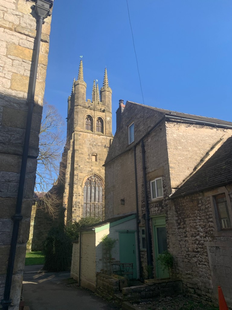
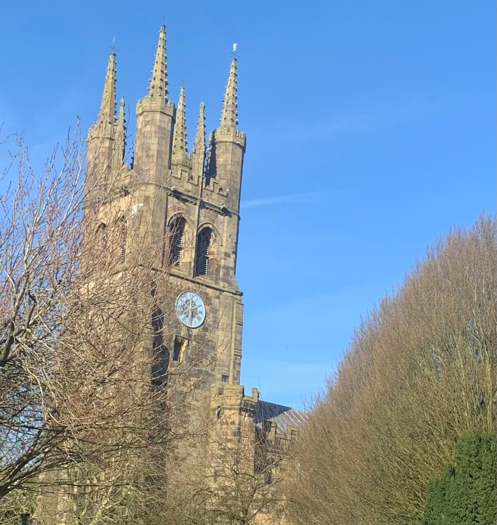
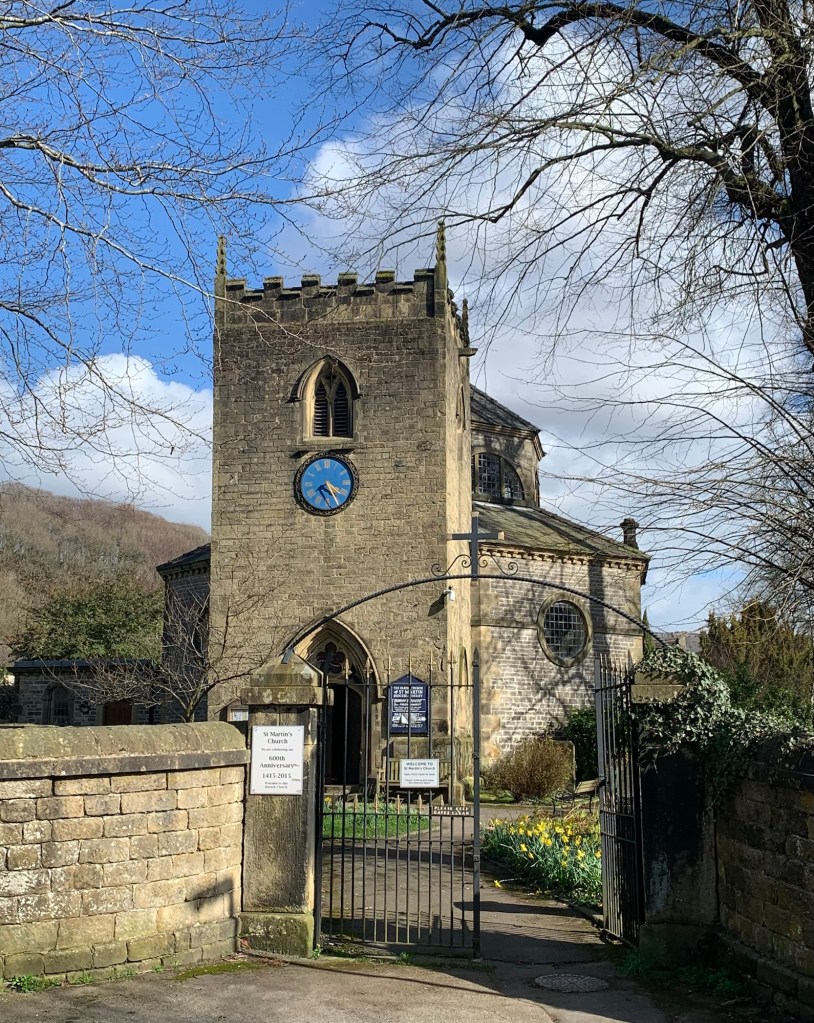
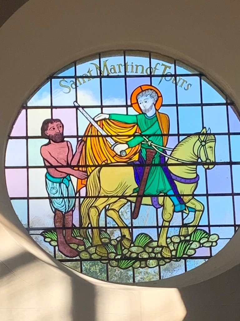
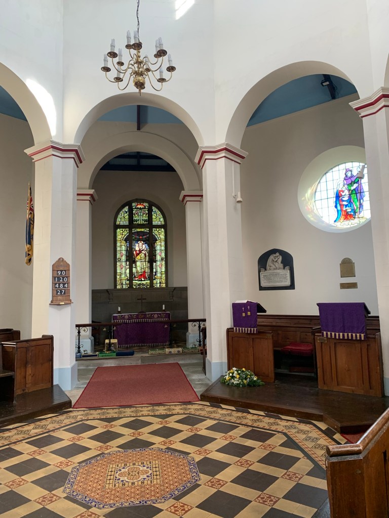
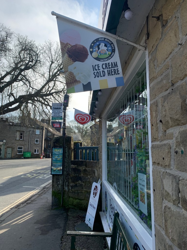
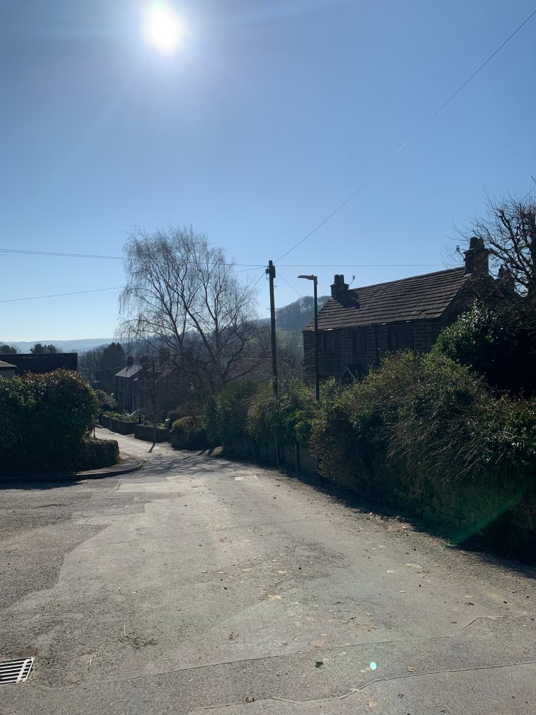
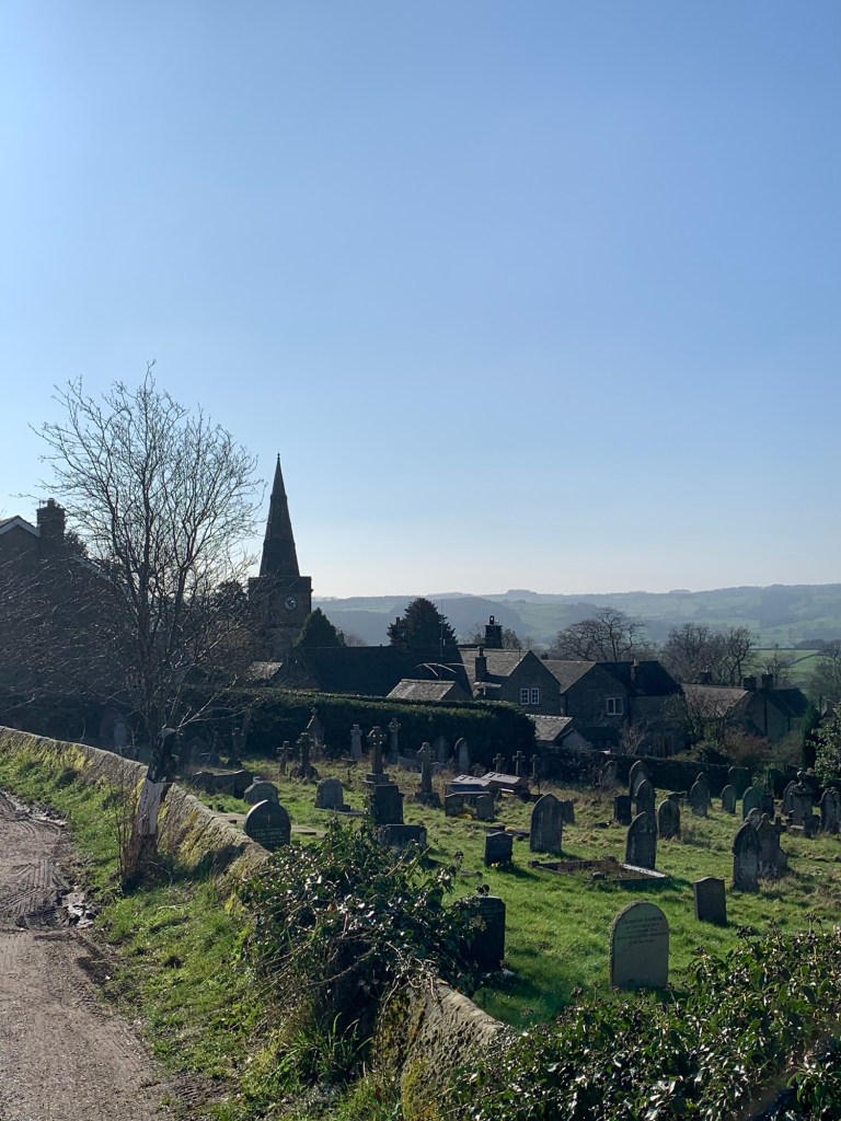
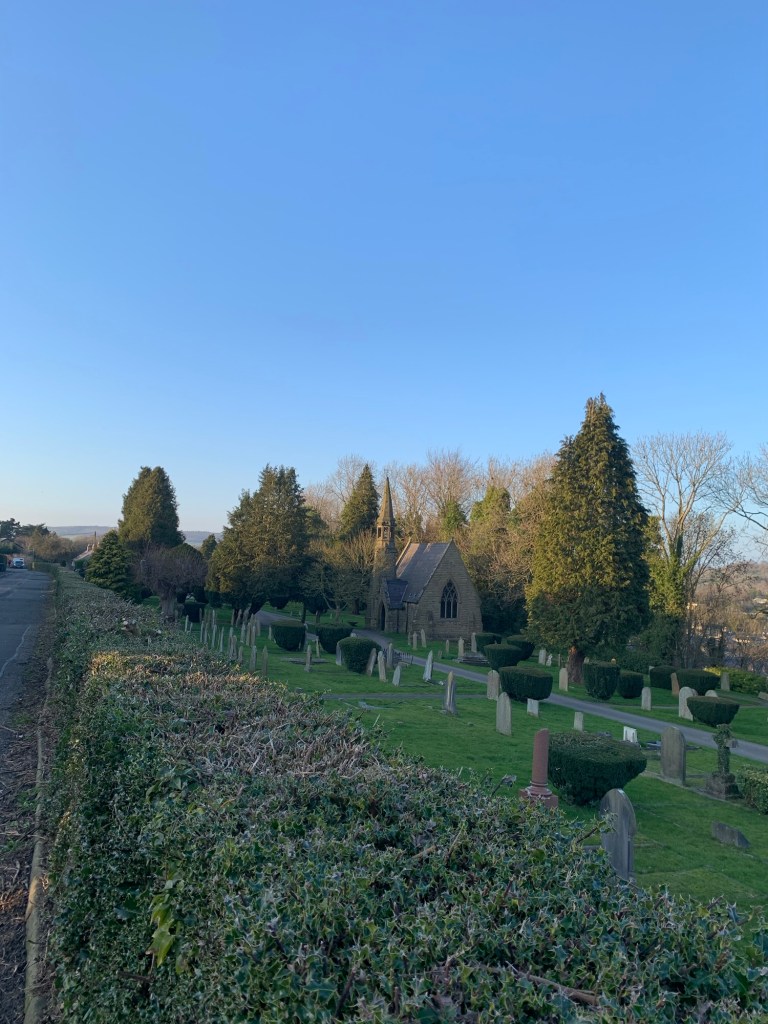
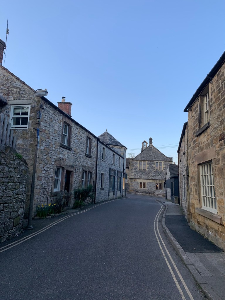
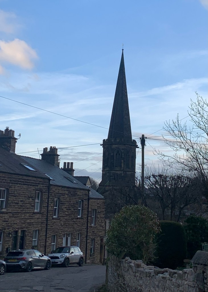
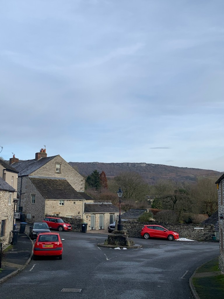
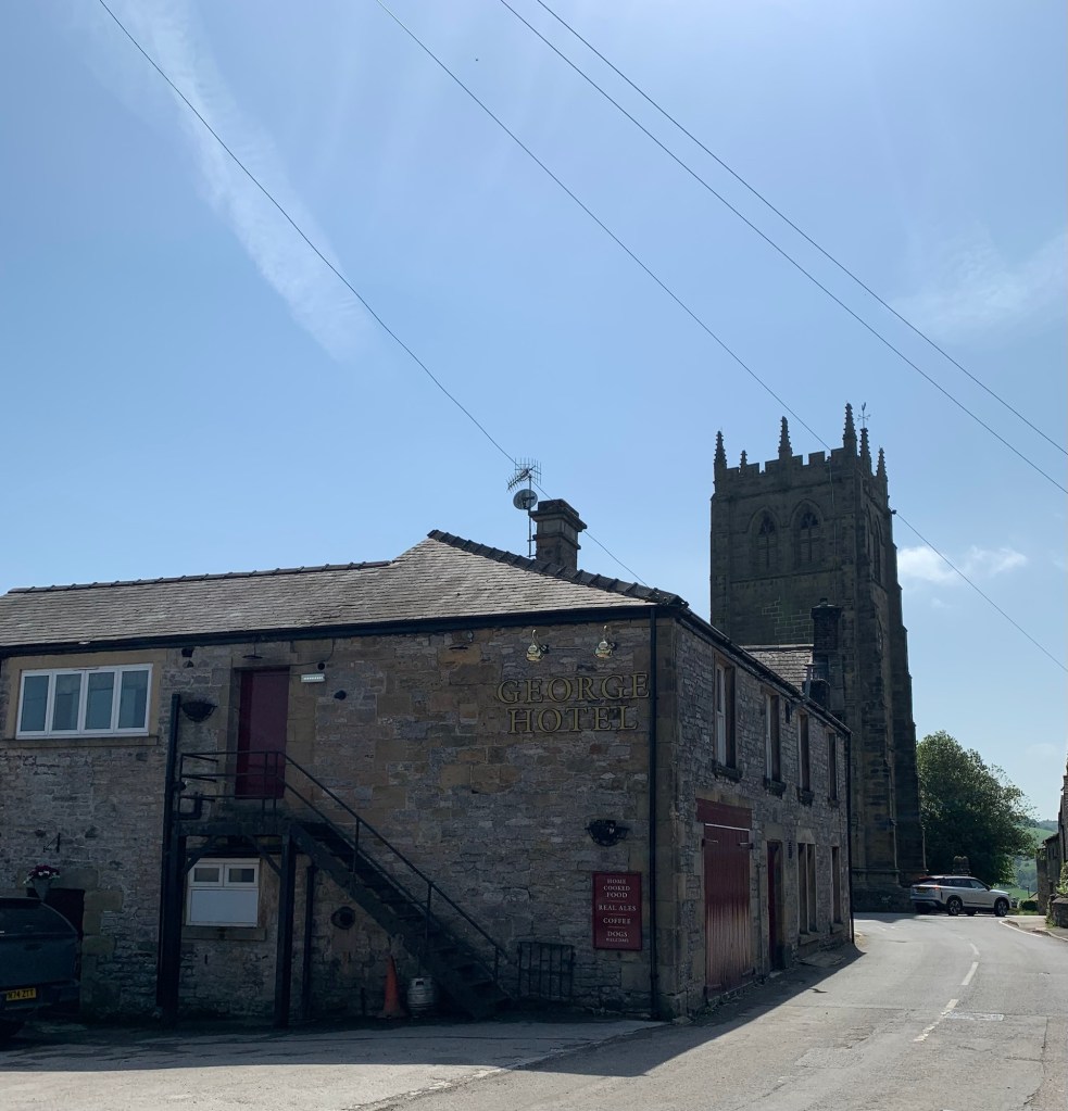
We walk into Youlgreave past the George Hotel and the imposing church and, turning right we are faced with an overwhelming choice of places to take a break.
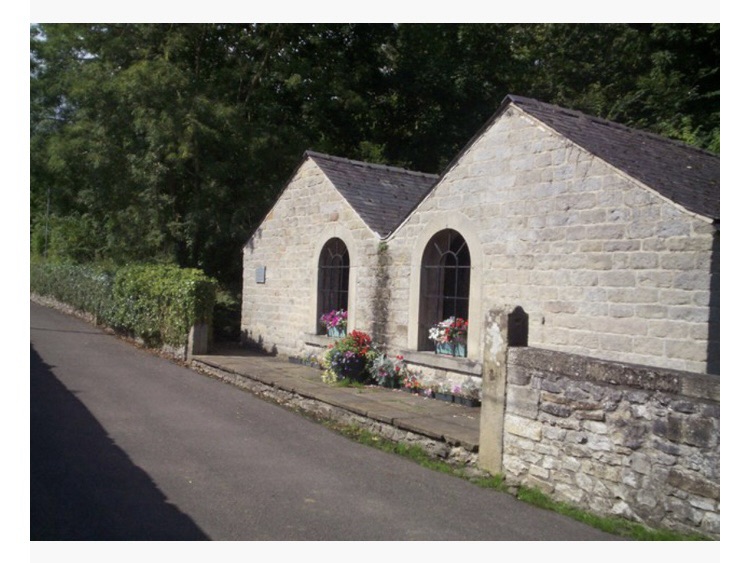
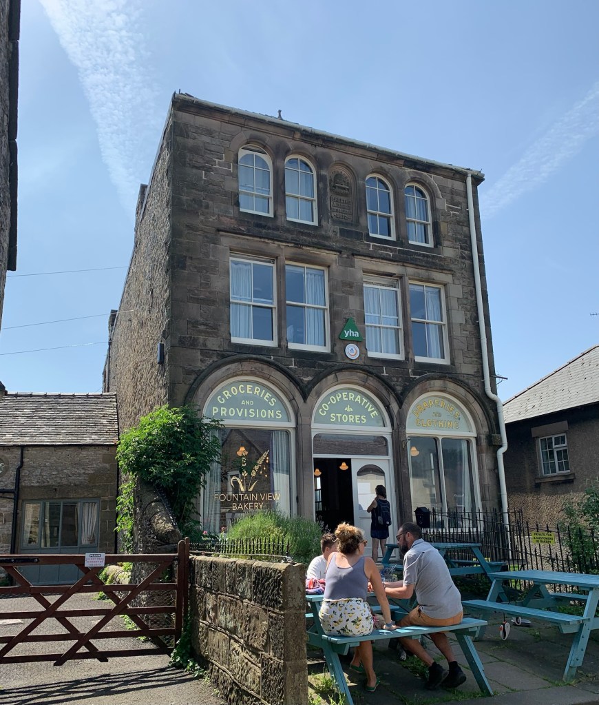
There’s the old Co op shop ( which also featured in the Lawrence film) which is part youth hostel, part bakery and part cafe.
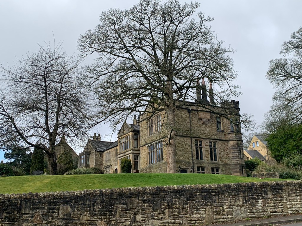
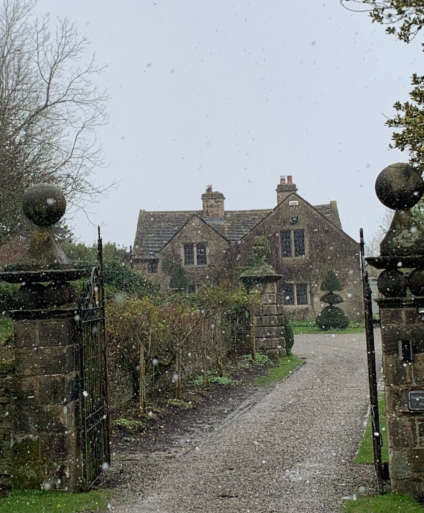
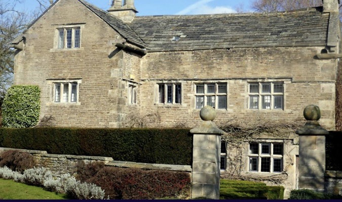
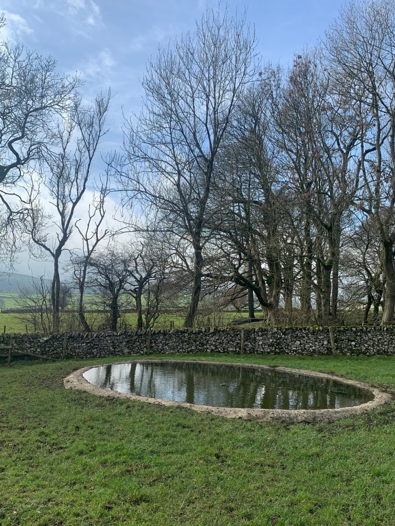
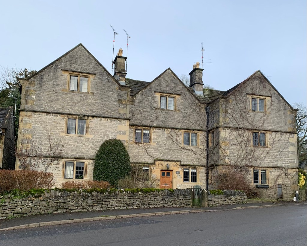
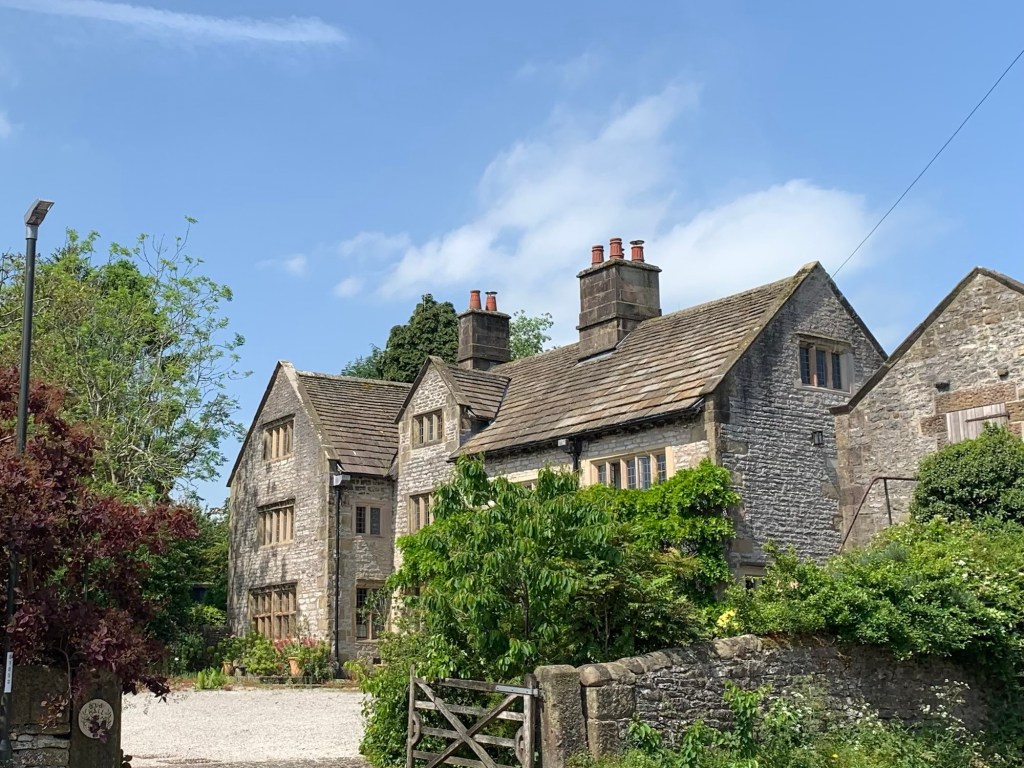
There’s Peak Feast up towards the splendid looking Old Hall
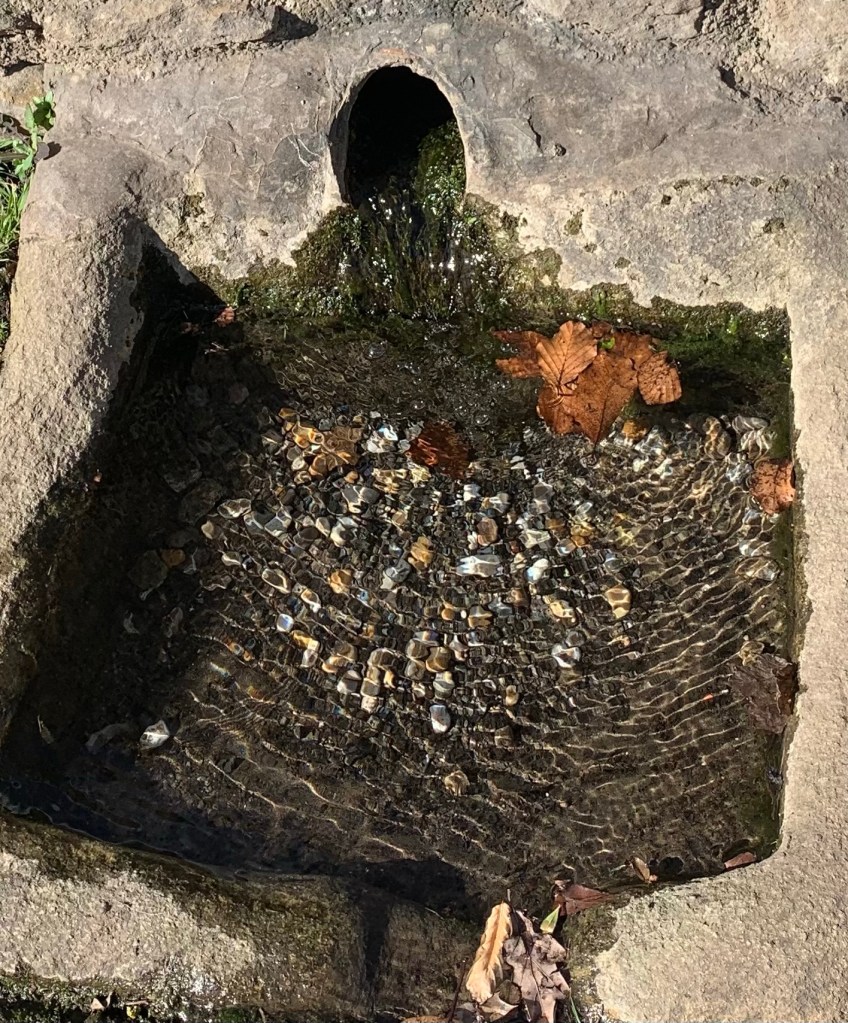
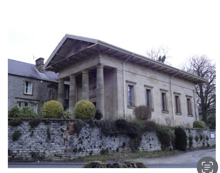
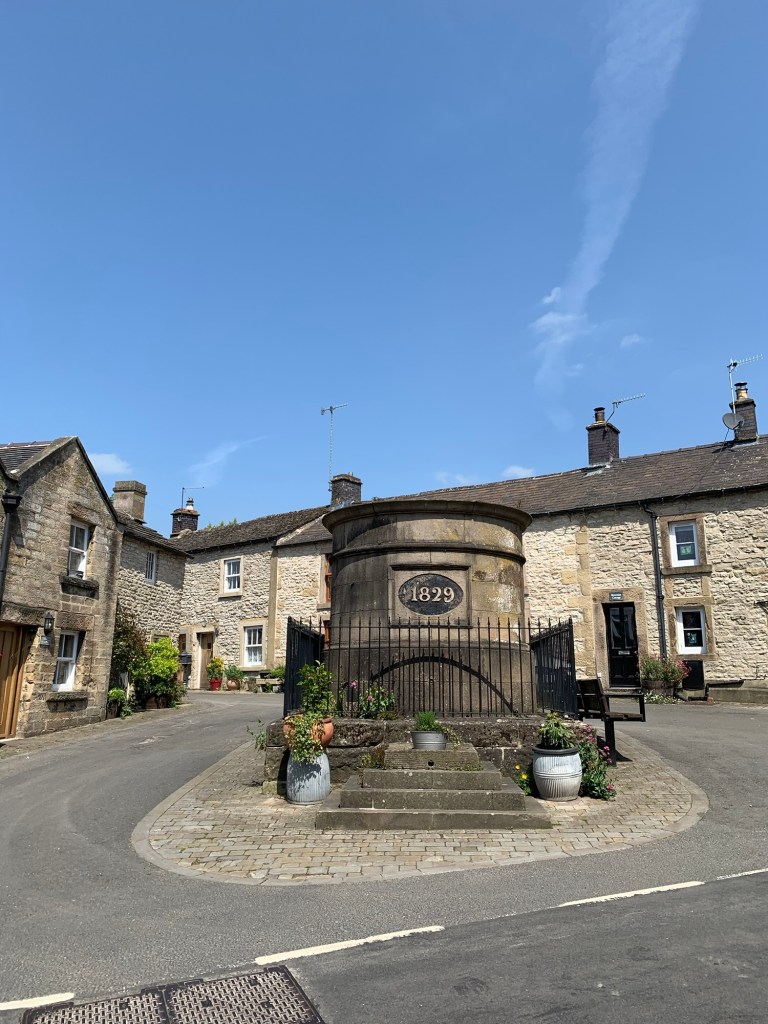
behind the circular stone structure known as the “ Fountain “ which is an historic 1500 gallon water storage tank
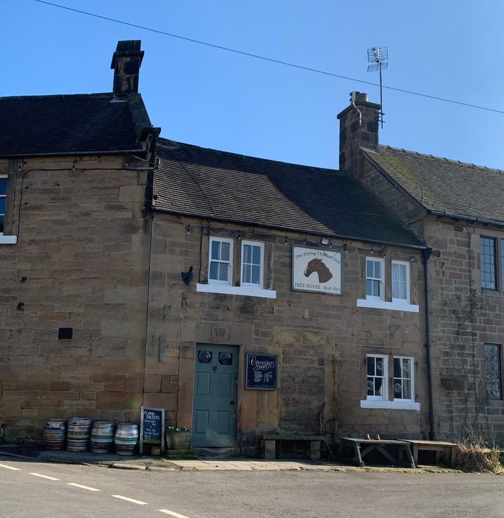
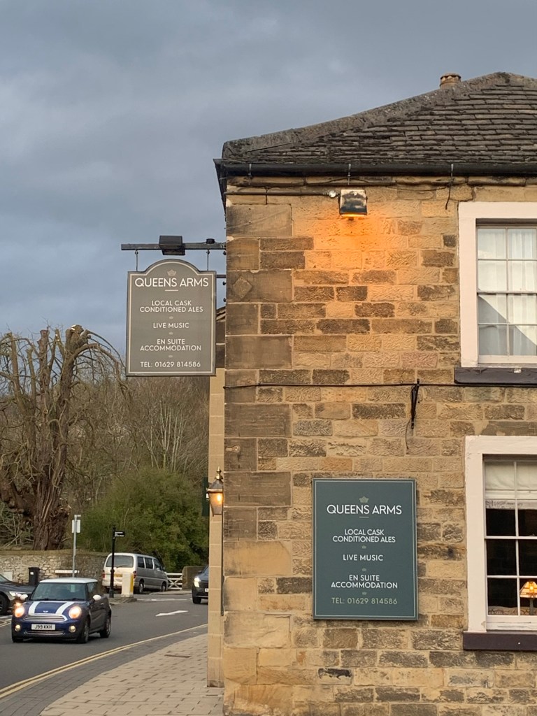
or three pubs, The Bull’s Head, The George and The Farmyard.
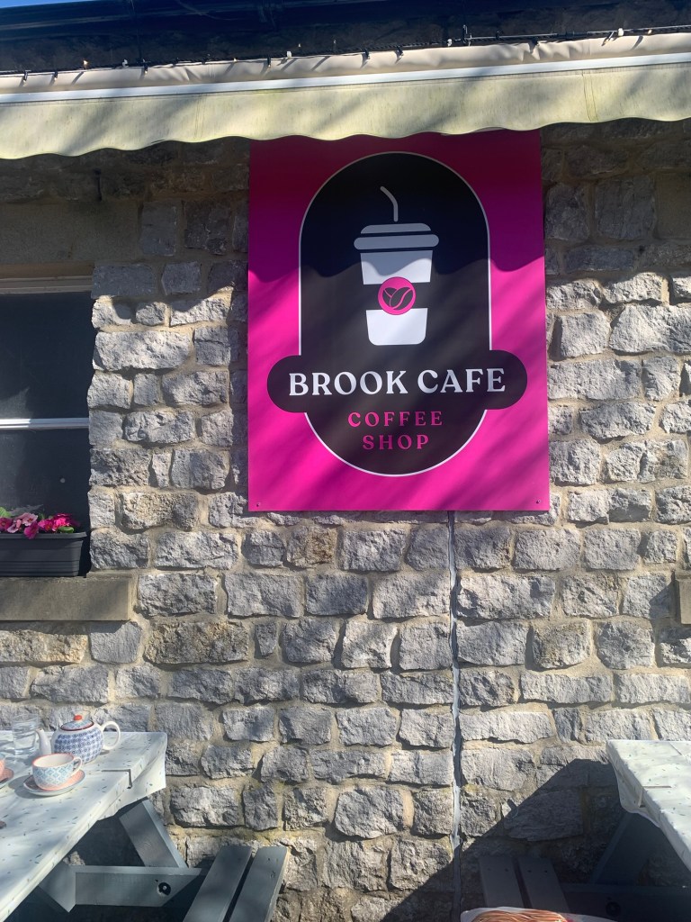
However we opt for the Ginger Nut Cafe which is also quite an extensive village shop and enjoy an excellent pot of tea and a sandwich ( actually a “cob” since we are most certainly in Derbyshire here.)
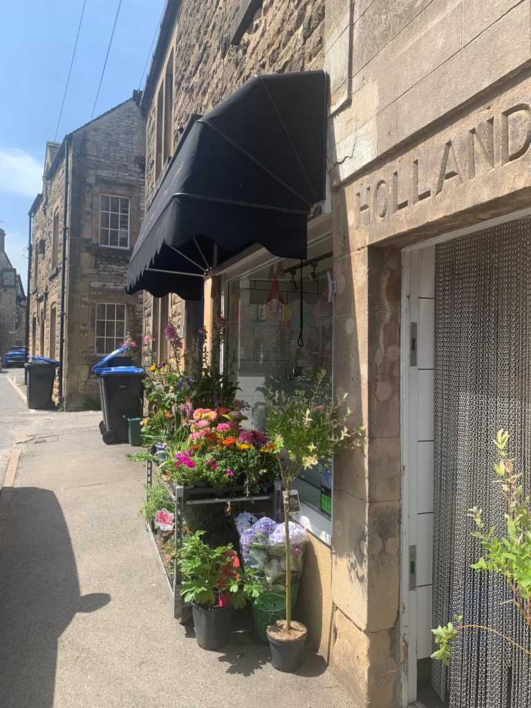
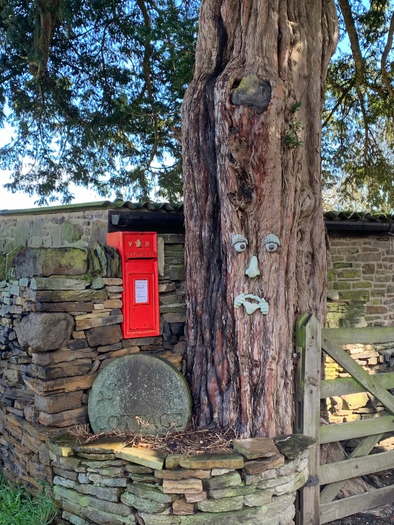
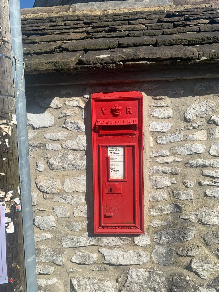
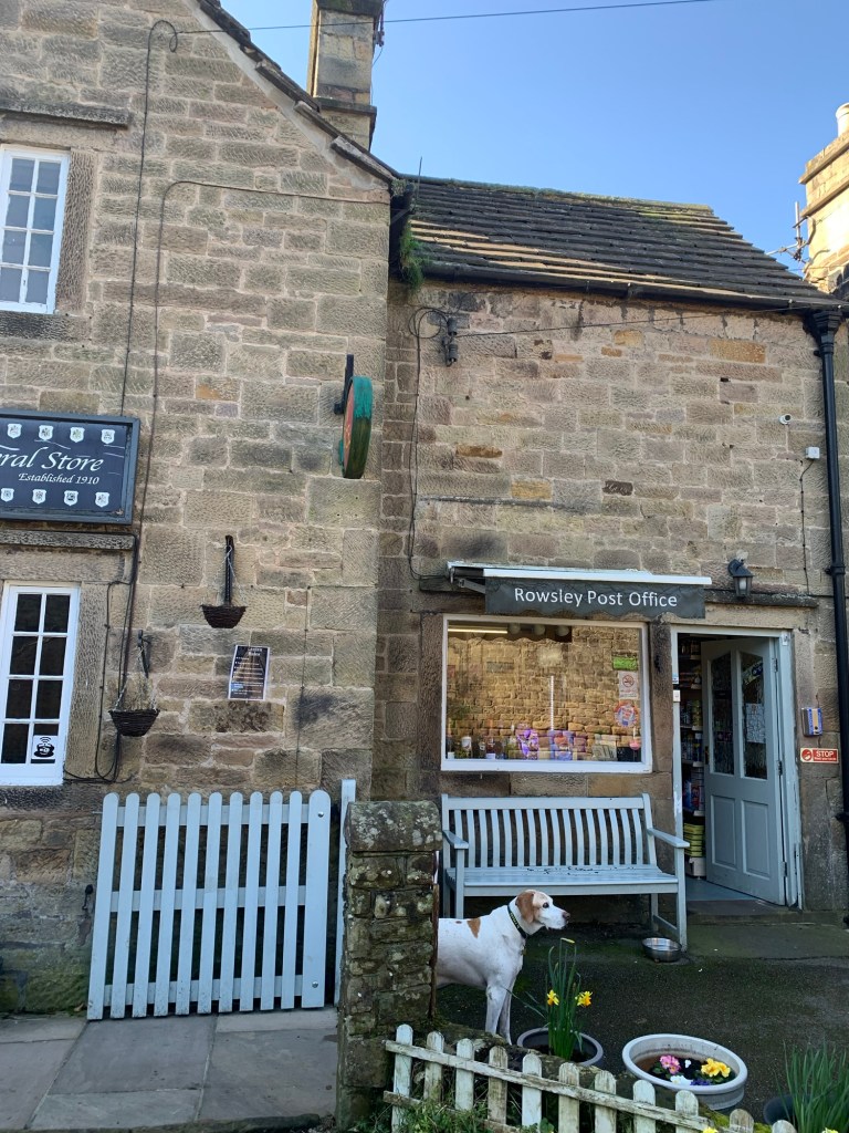
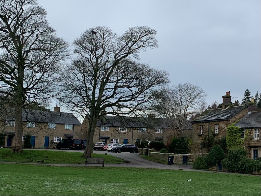
Youlgreave/grave seems quite a large and thriving village and even has a post office.
But, what is the correct name for this place we wonder?
Feeling thoroughly refreshed we head back to the church and turn right heading downhill along Bradford Road
and then forking right down Stony Side
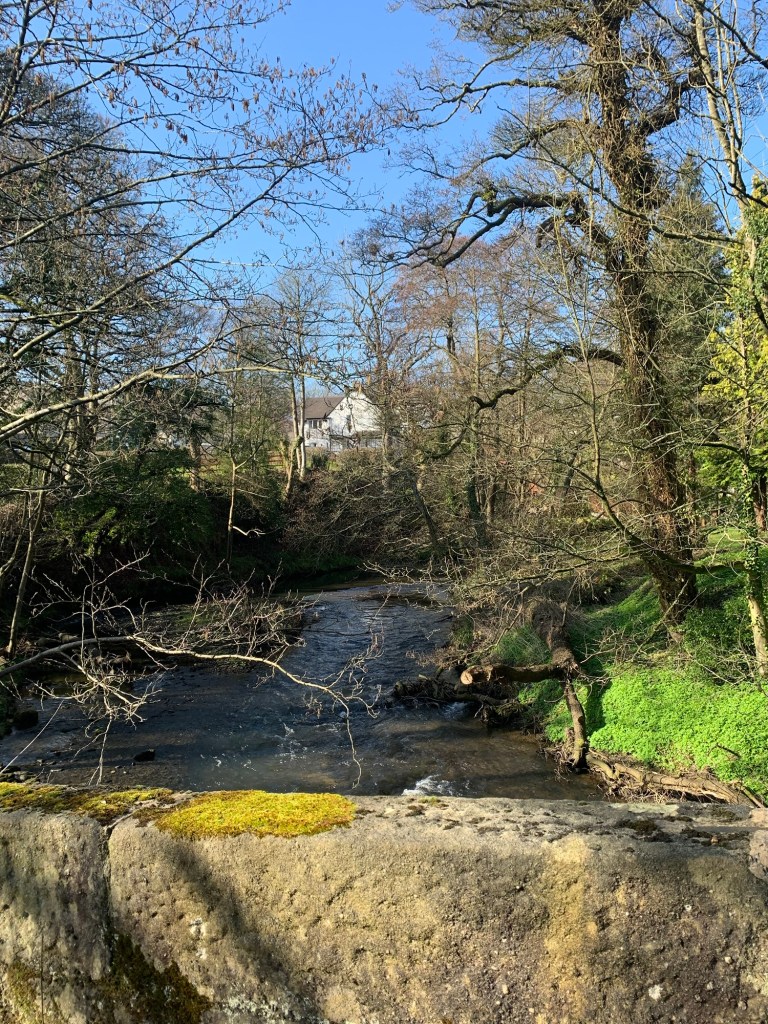
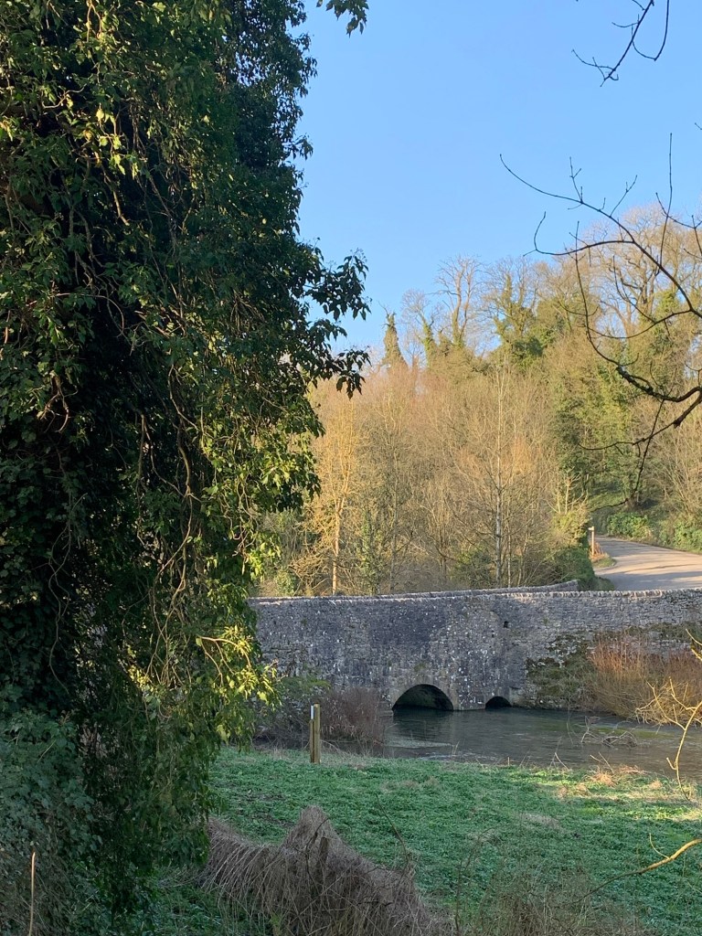
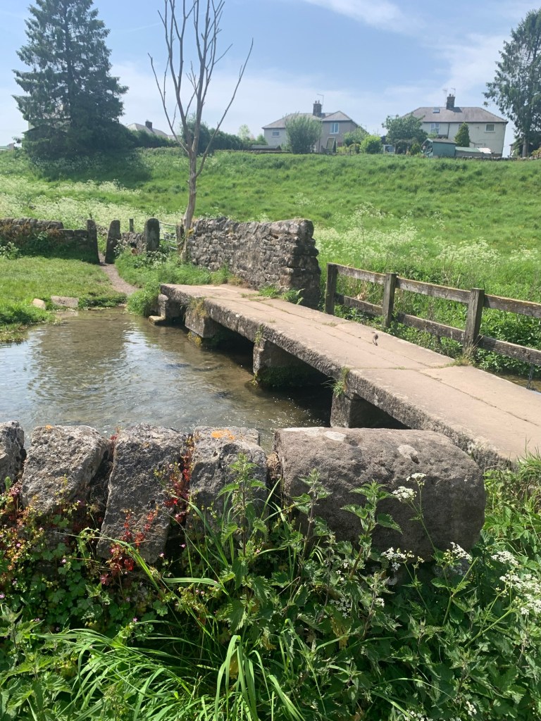
until we reach the bottom of the hill and the old clapper bridge over the River Bradford.
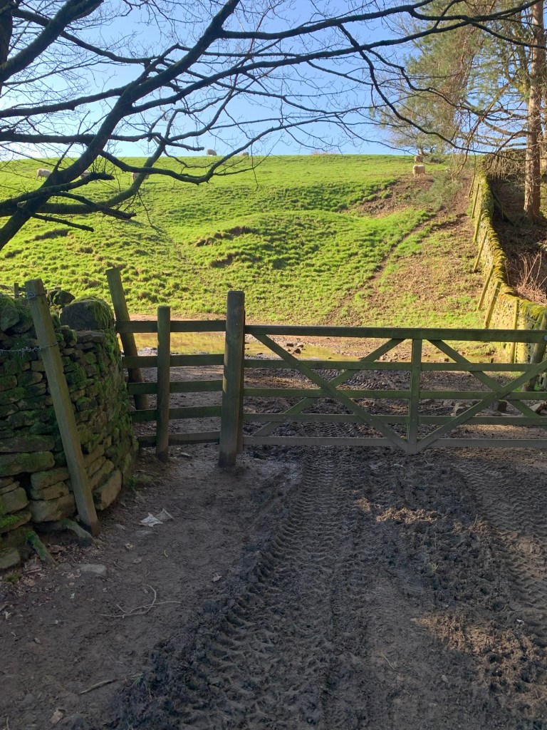
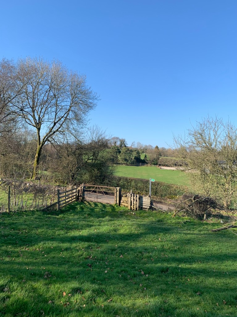
Here we turn right through the gate and into Bradford Dale firstly passing the outdoor swimming spot ( originally used for dipping sheep) that has been popular with families since well before outdoor swimming became a fashionable thing to do. And as it’s a fine sunny half term holiday it’s understandably popular today. I find it quite nostalgic as I came here as a kid myself and it’s kind of reassuring that decades later families are still managing to enjoy some of the simpler things in life.
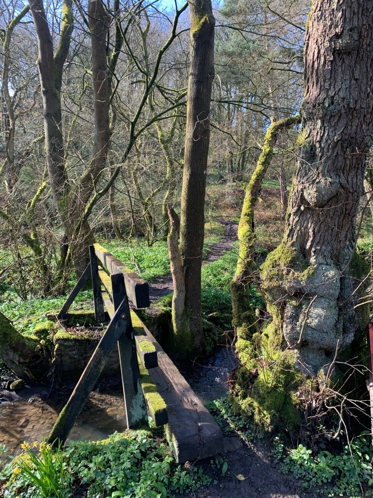
Having passed through the swimming area we reach another old clapper bridge and wait while George pads across before crossing over ourselves to the other bank.
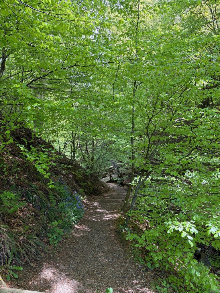
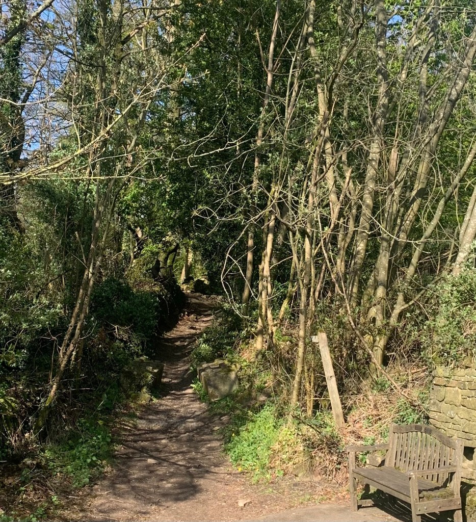
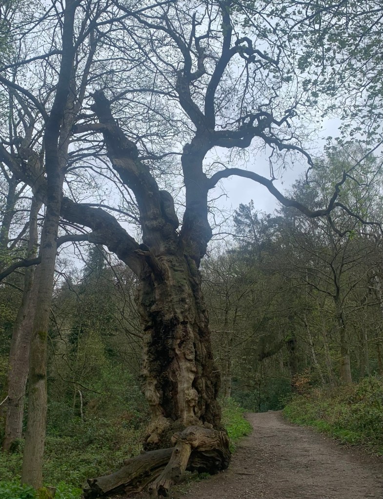
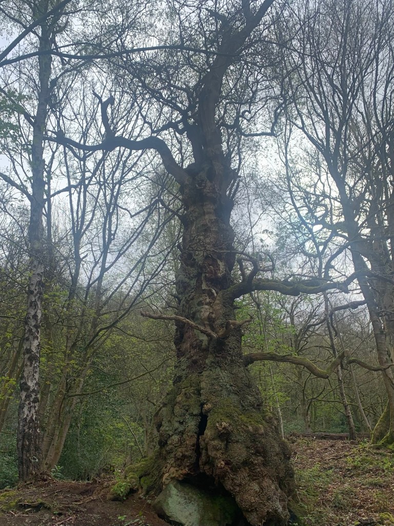
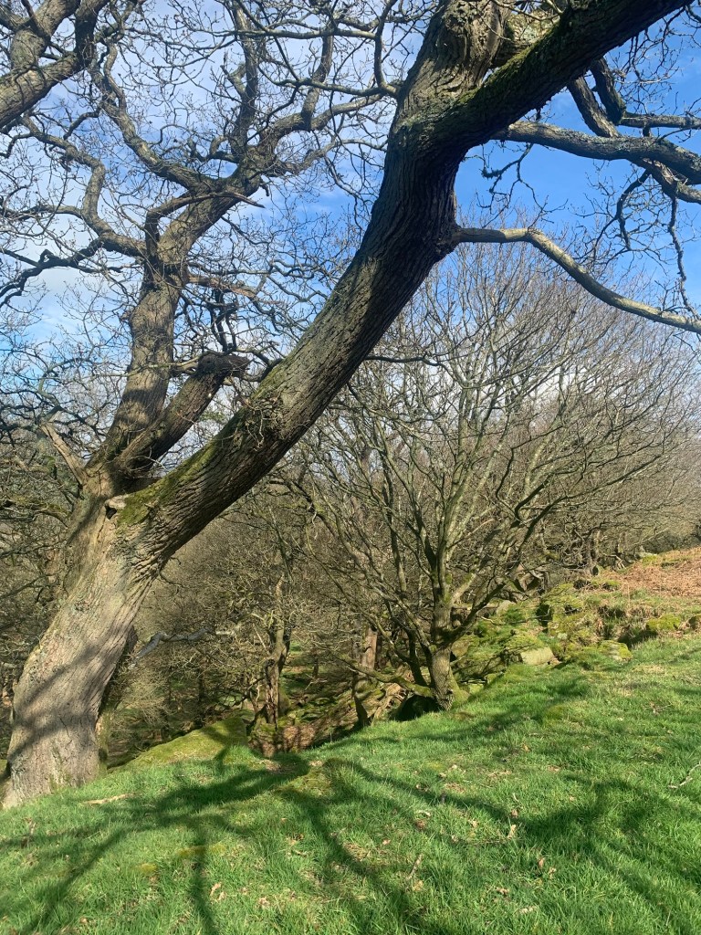
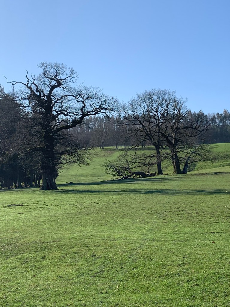
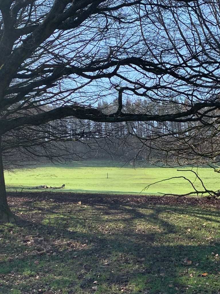
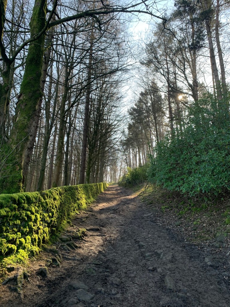
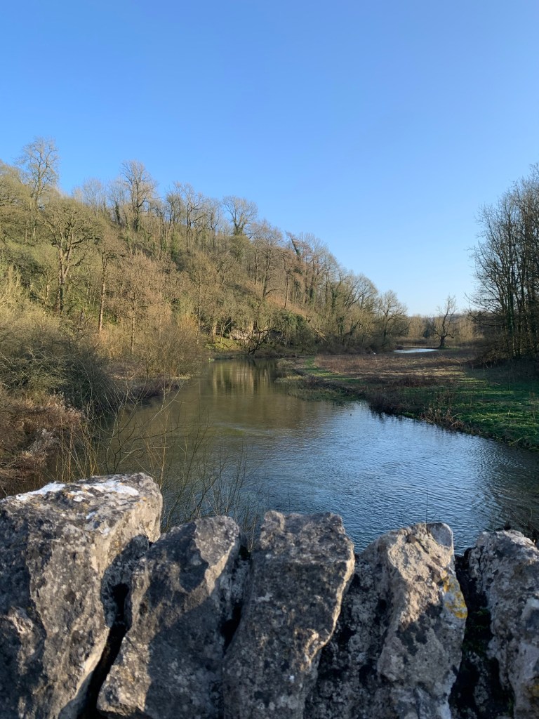
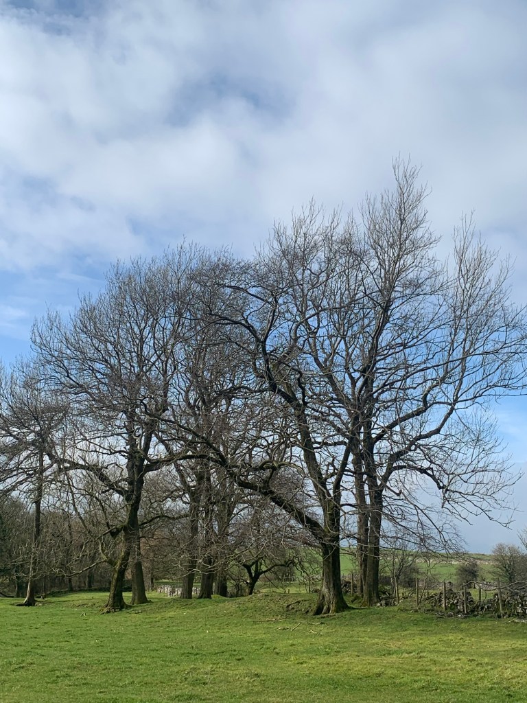
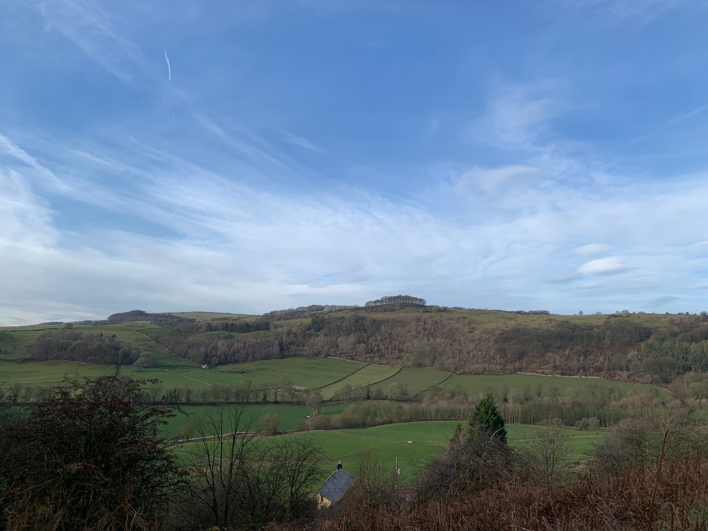
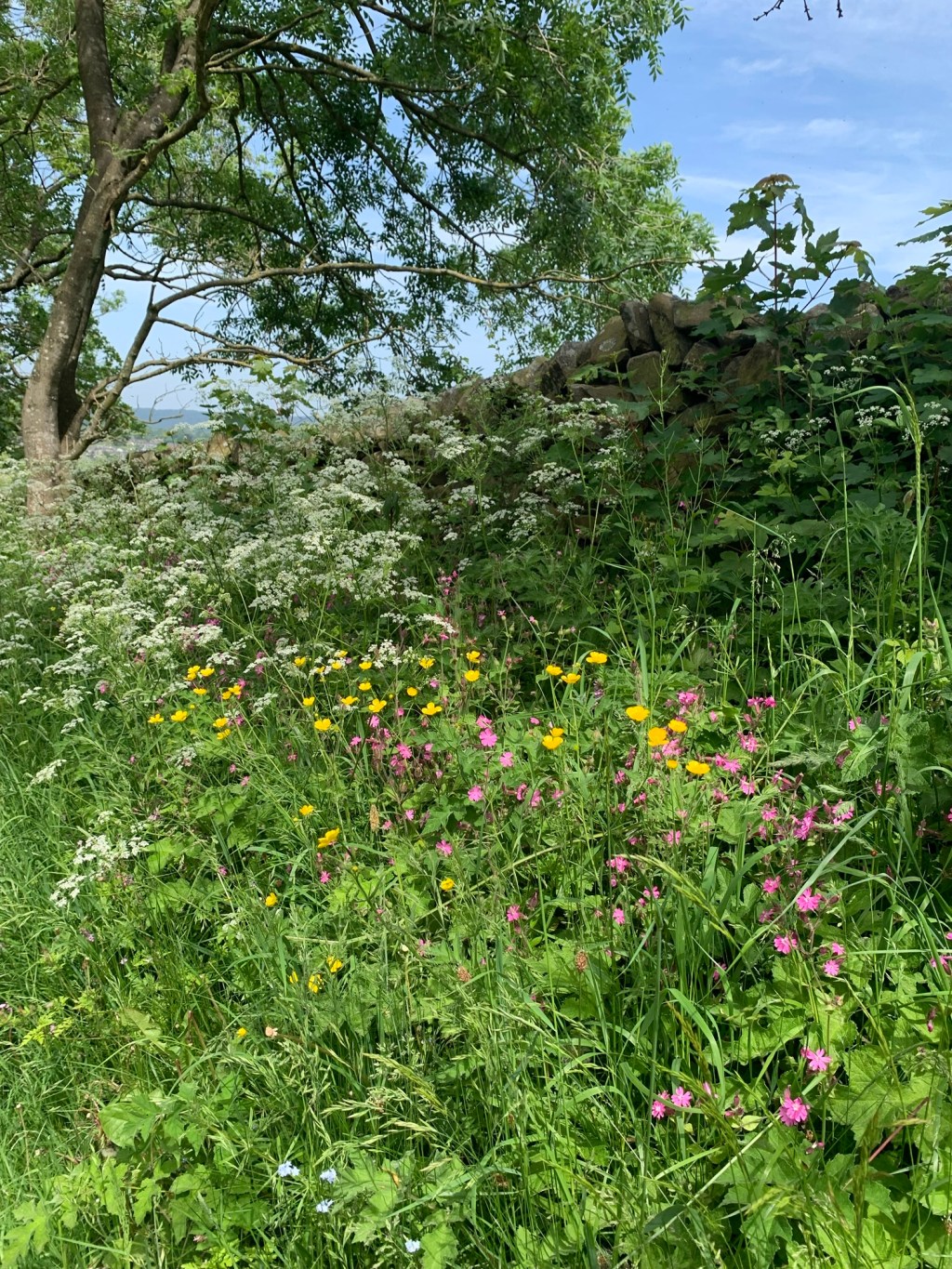
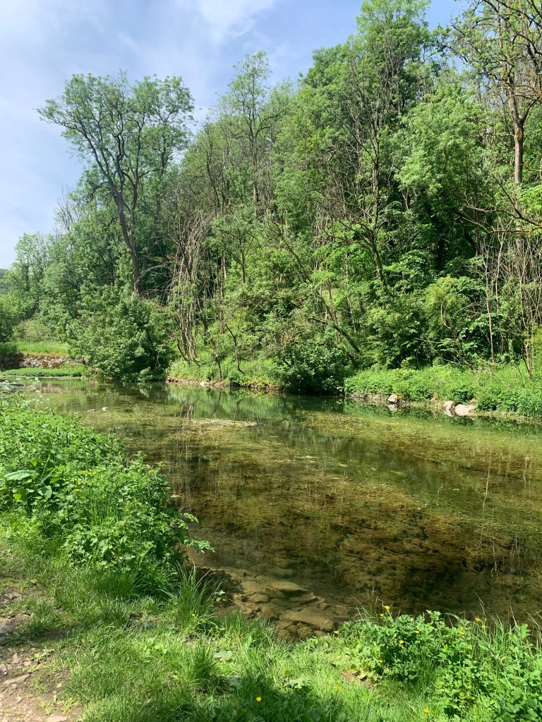
This part of the dale feels like a contrast to the first part. It’s very tranquil and the trees on both sides surround us with every shade of green creating a sense of calm and stillness as we wander upstream.
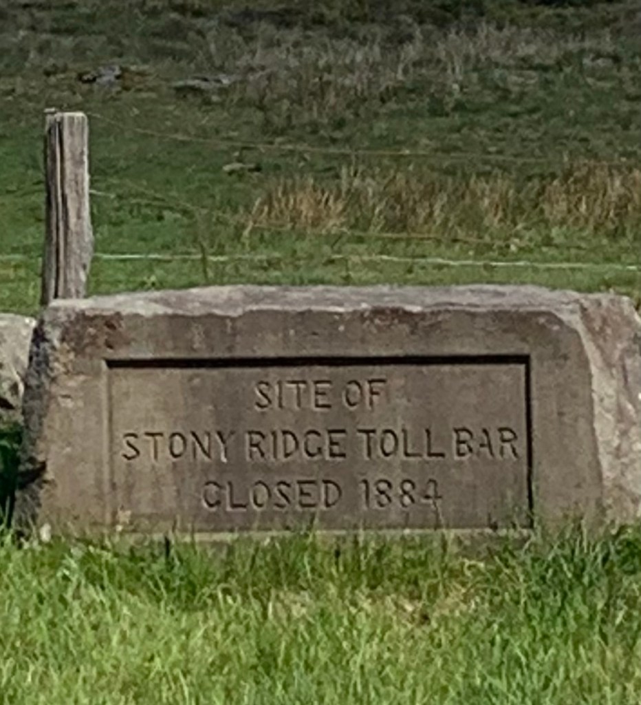
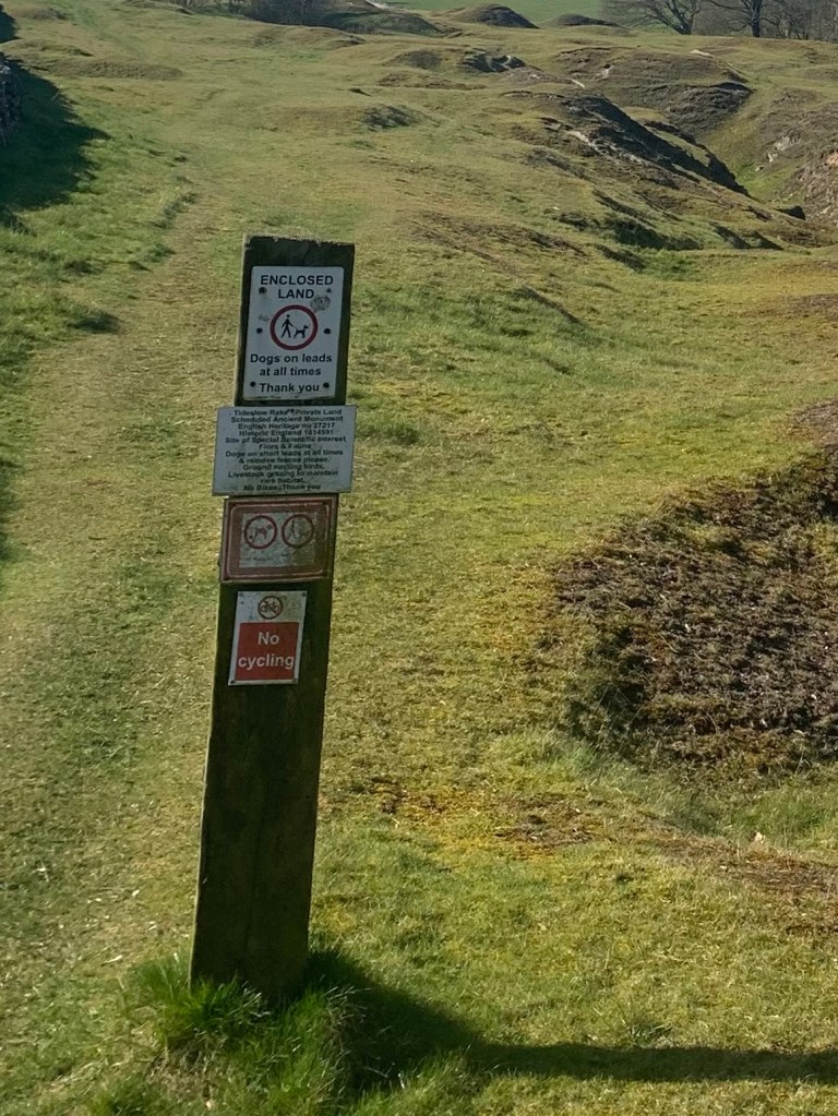
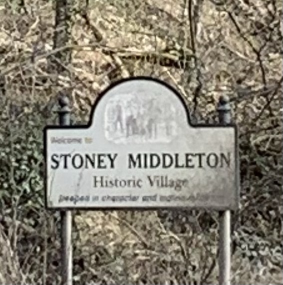
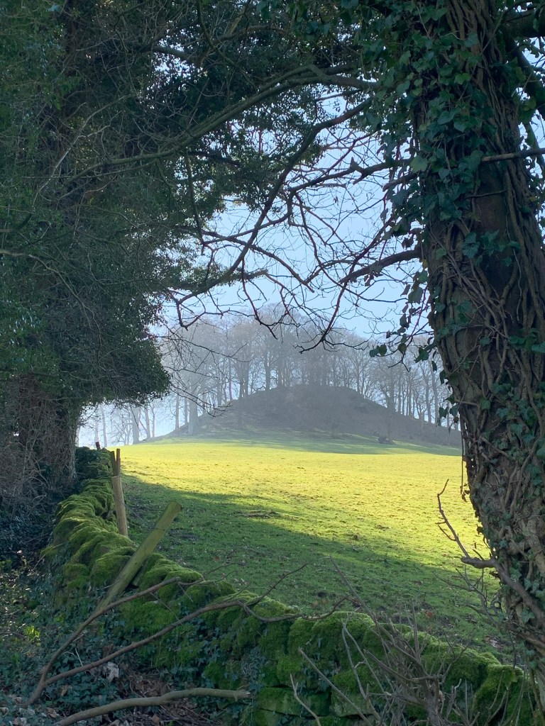
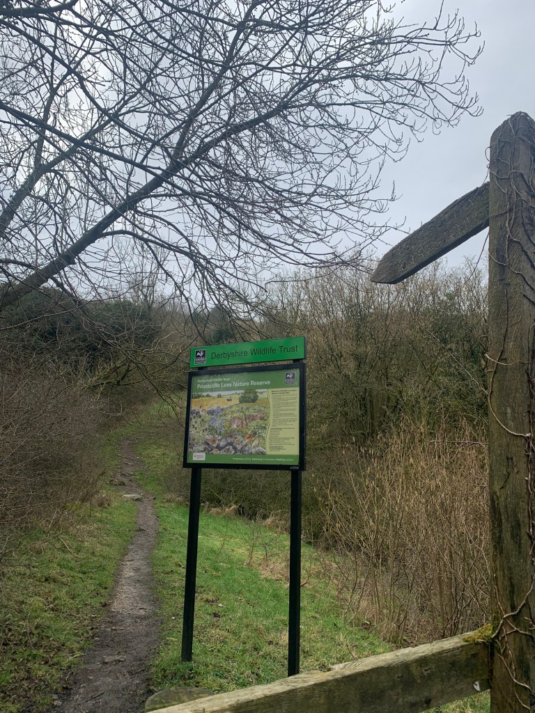
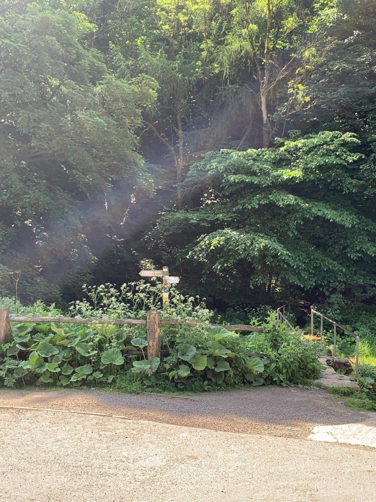
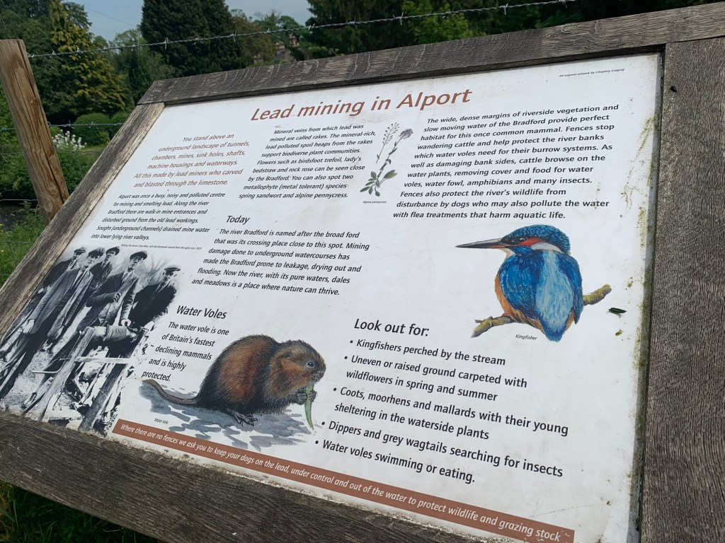
At the junction of the path up to the village of Middleton we pause to read an information board and, once again, discover it wasn’t always so quiet and peaceful around here…..
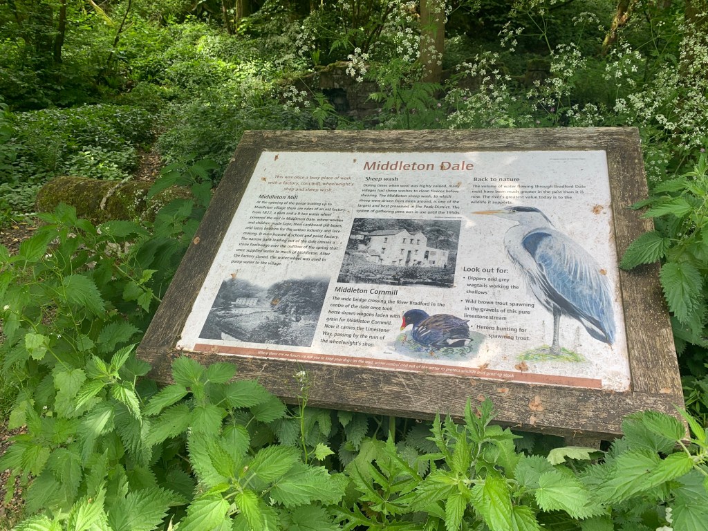
We decide not to detour up the hill to see the village of Middleton ( no cafe, no pub) but it’s probably worth a visit if you’re interested in old villages where time seems to have stood still and it’s also the place where the famous ( or infamous depending on your standpoint) archeologist Bateman lived….
https://derbyshireheritage.co.uk/people/thomas-bateman/
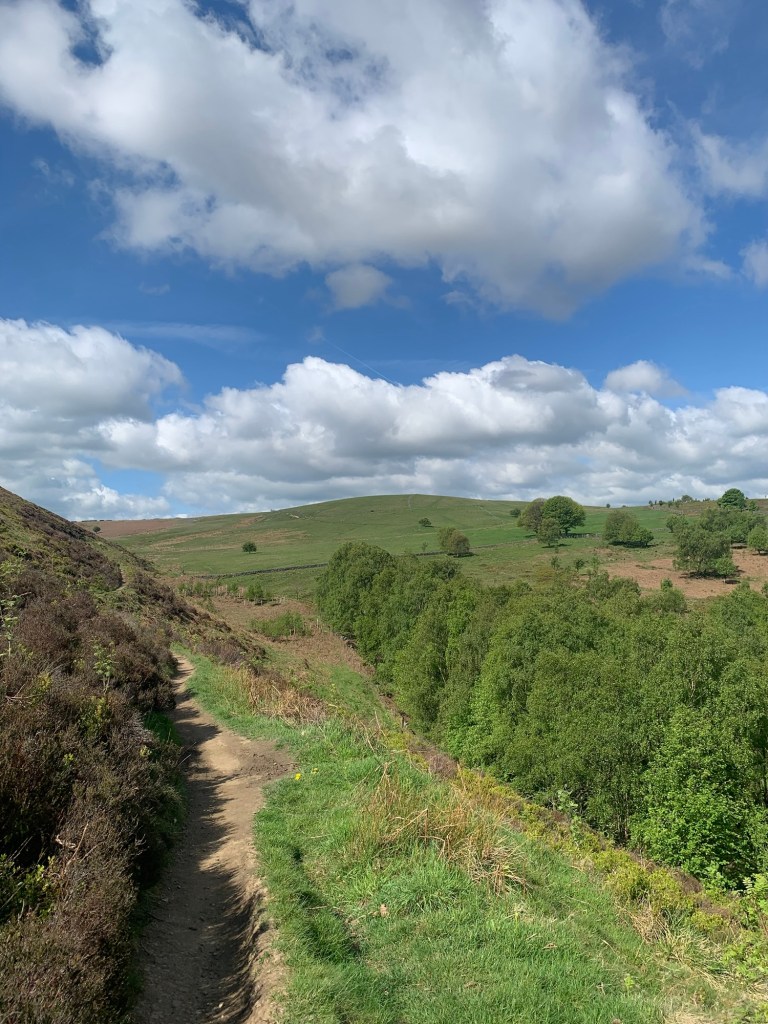
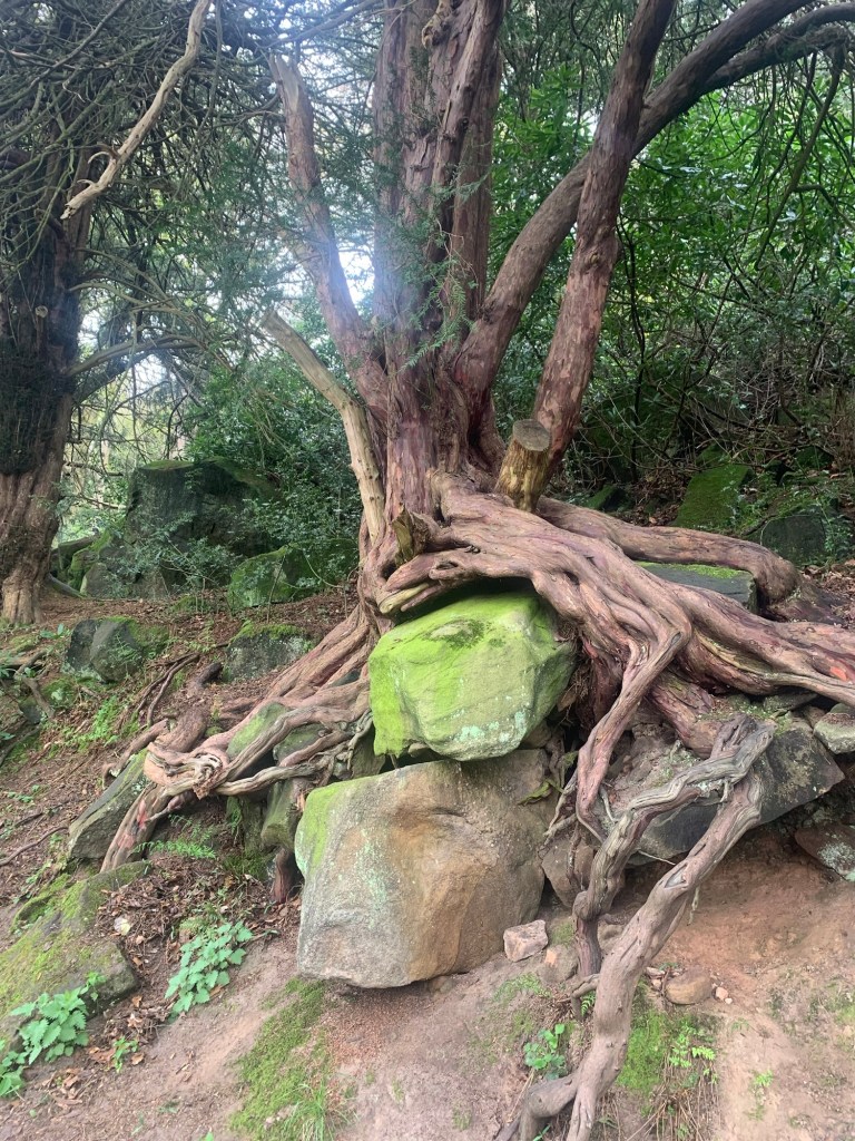
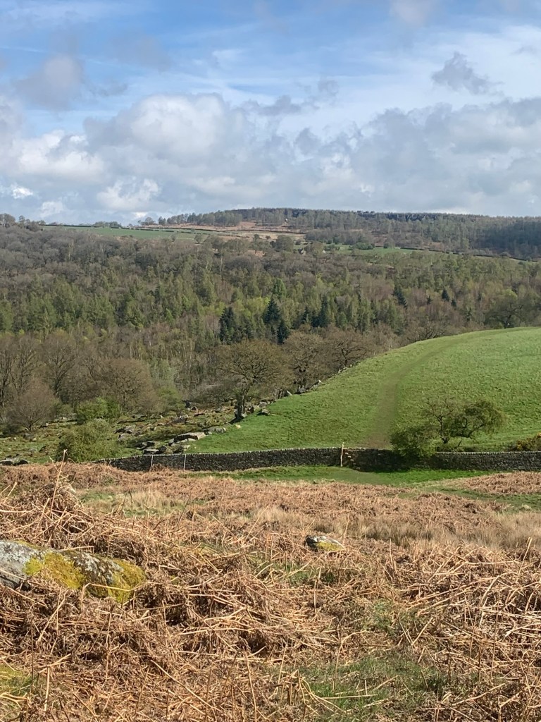
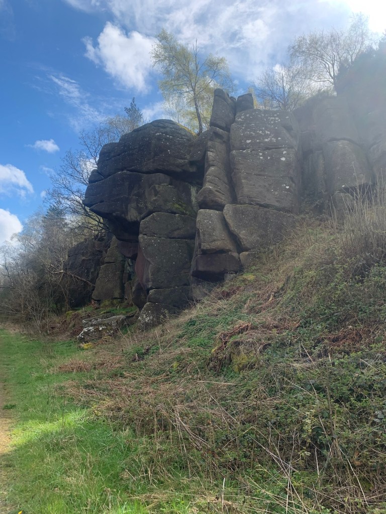
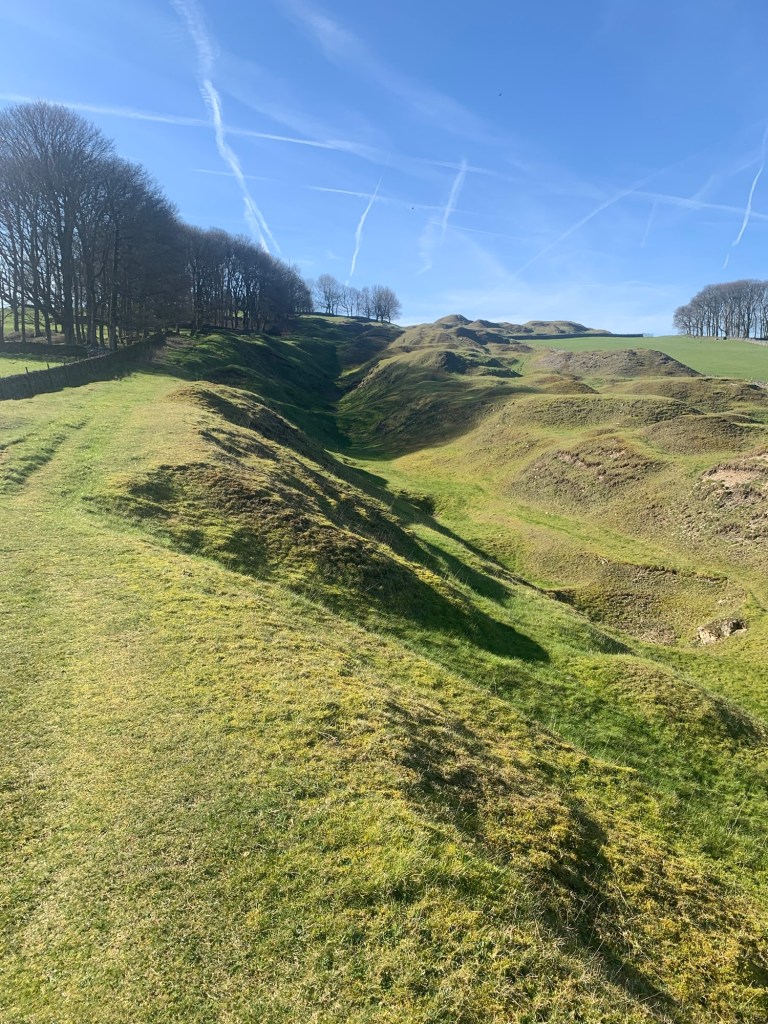
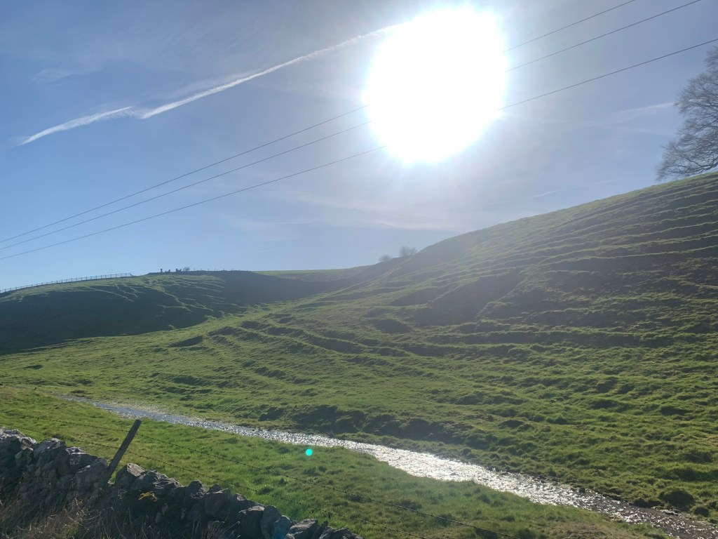
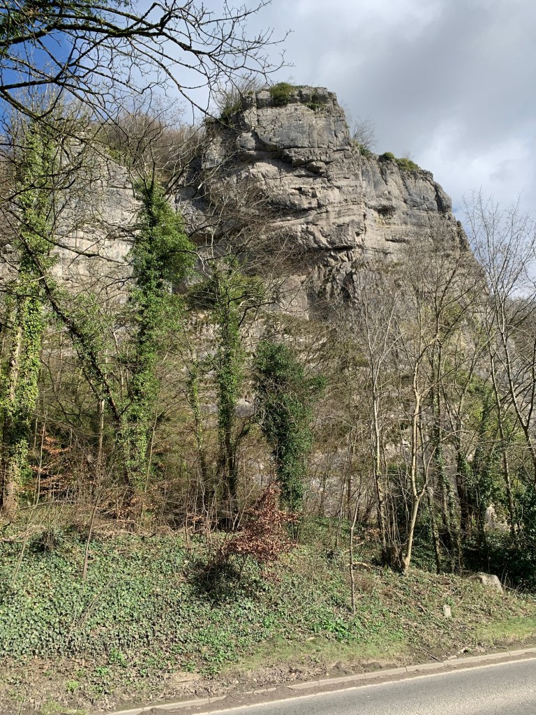
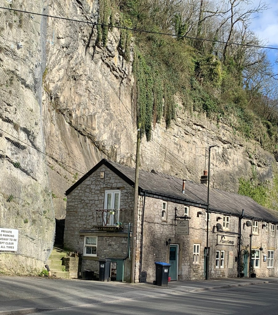
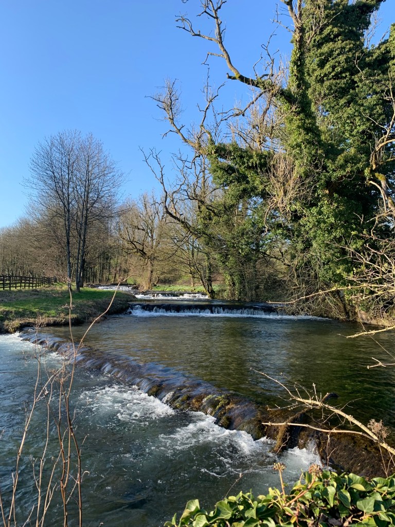
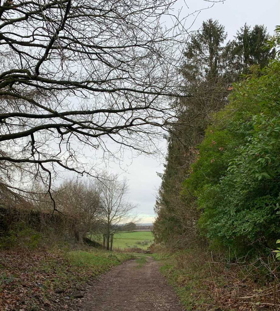
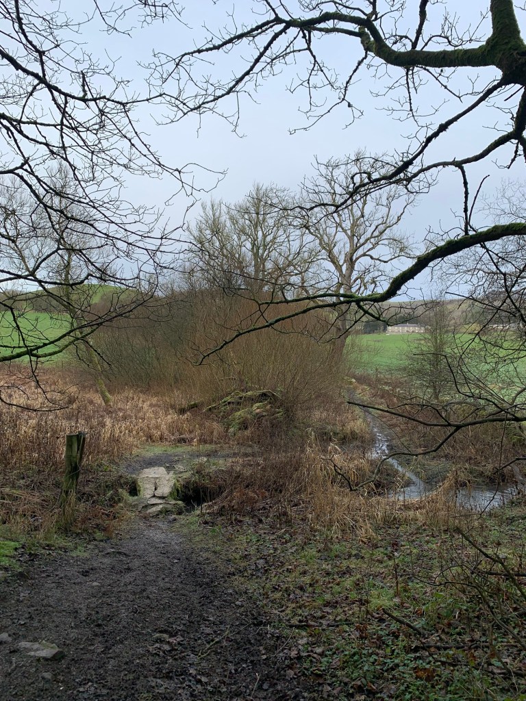
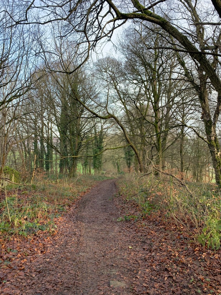
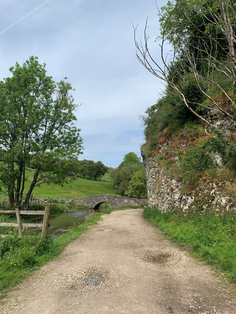
As it is we continue along the river path, now with the river on our left and with limestone outcrops on the opposite bank breaking out between the trees.
The valley narrows and becomes more rocky on both sides .
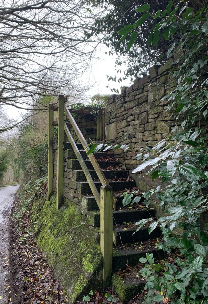
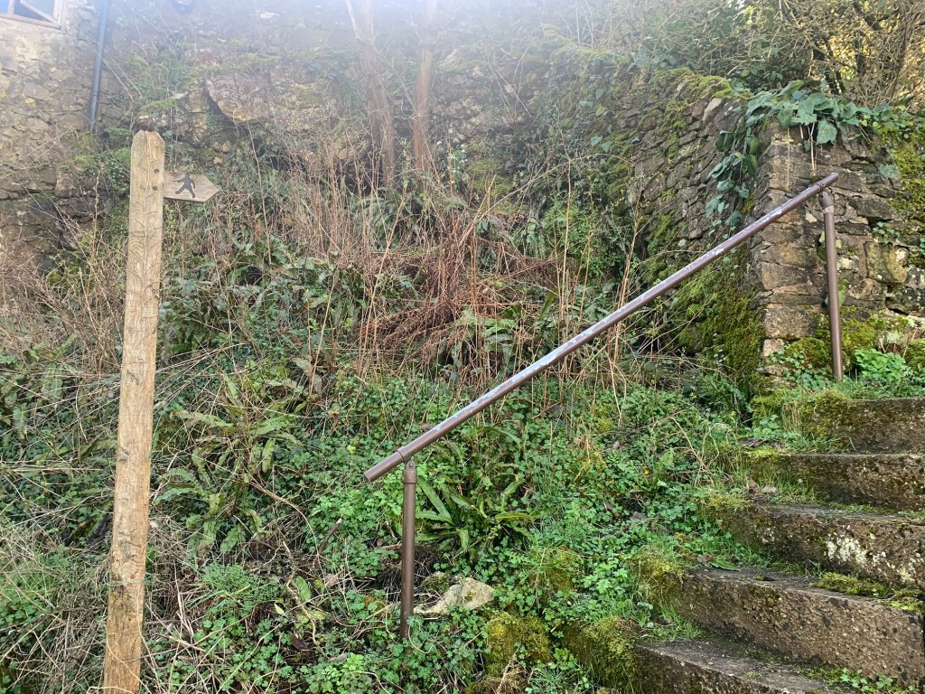
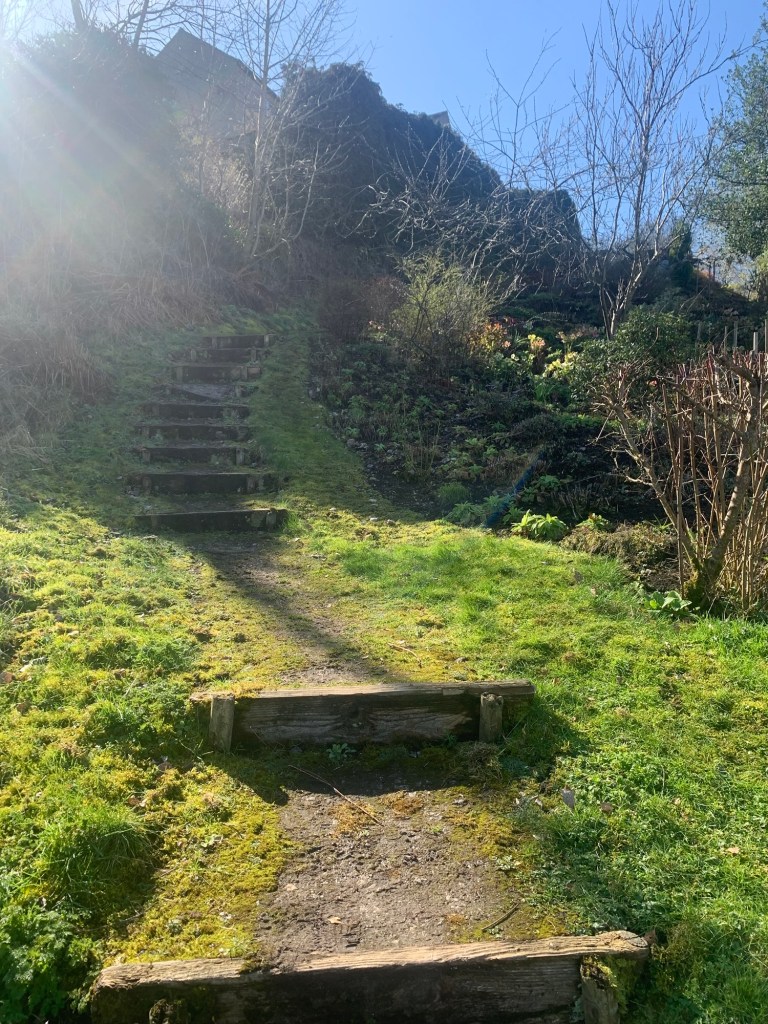
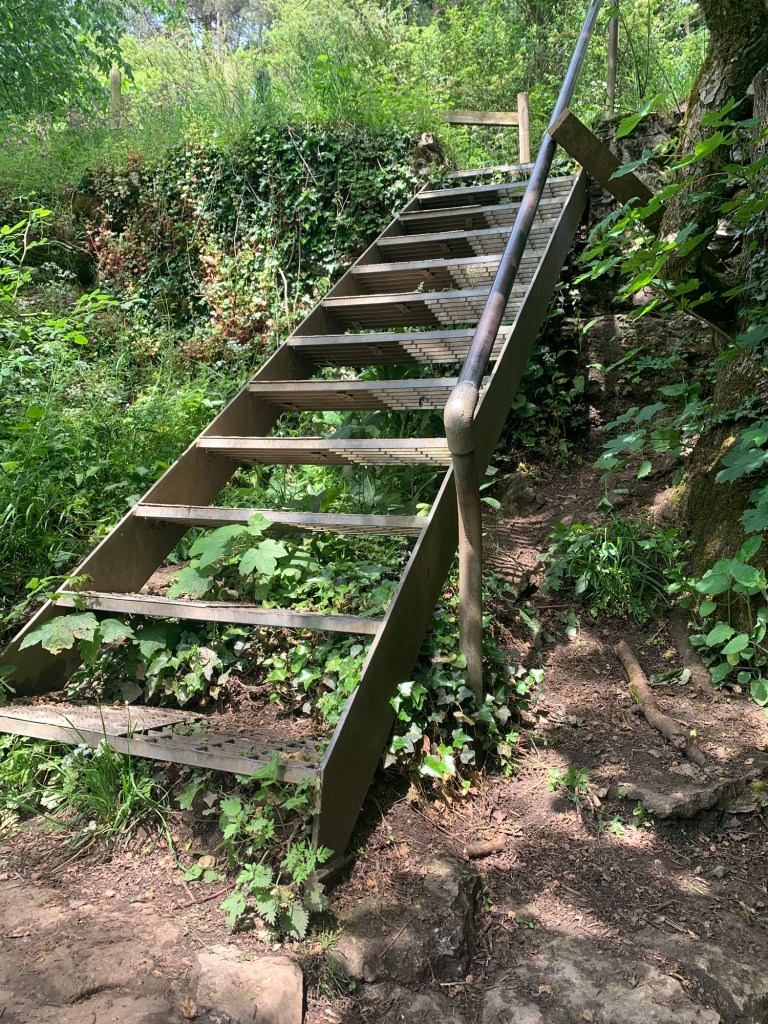
The path too is narrower now but underfoot its easy going (unlike the higher reaches of the Lathkill!) We wind our way along the valley bottom and after crossing the river once more we are surprised by a metal flight of steps taking us out onto the valley side.
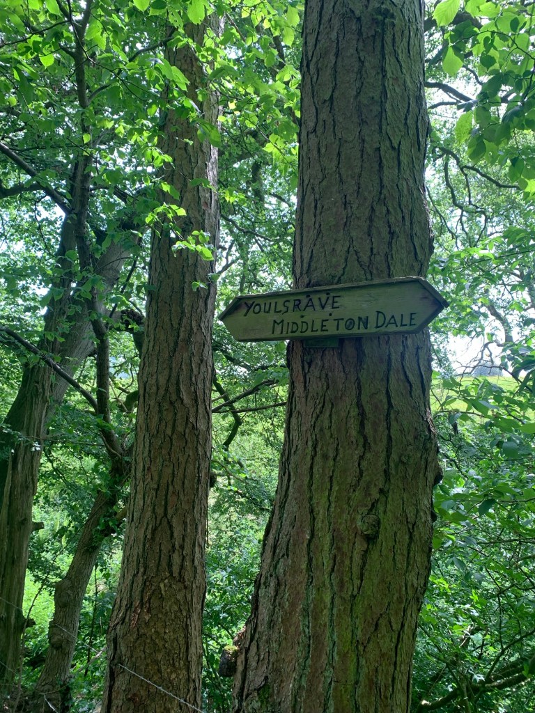
At the top of the steps we turn right and pass an old sign which feels somewhat confusing as it points ahead towards Youlgreave and that’s where we’ve just come from!
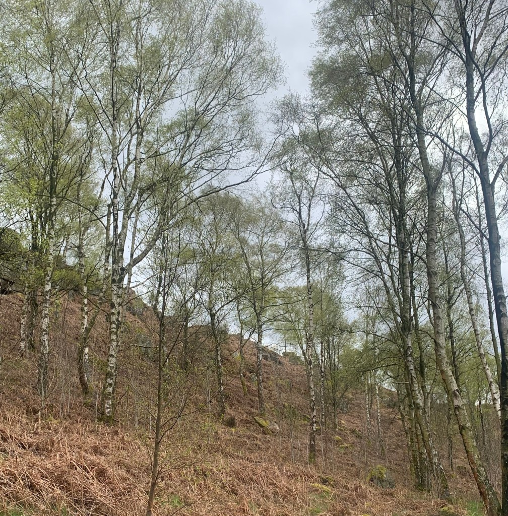
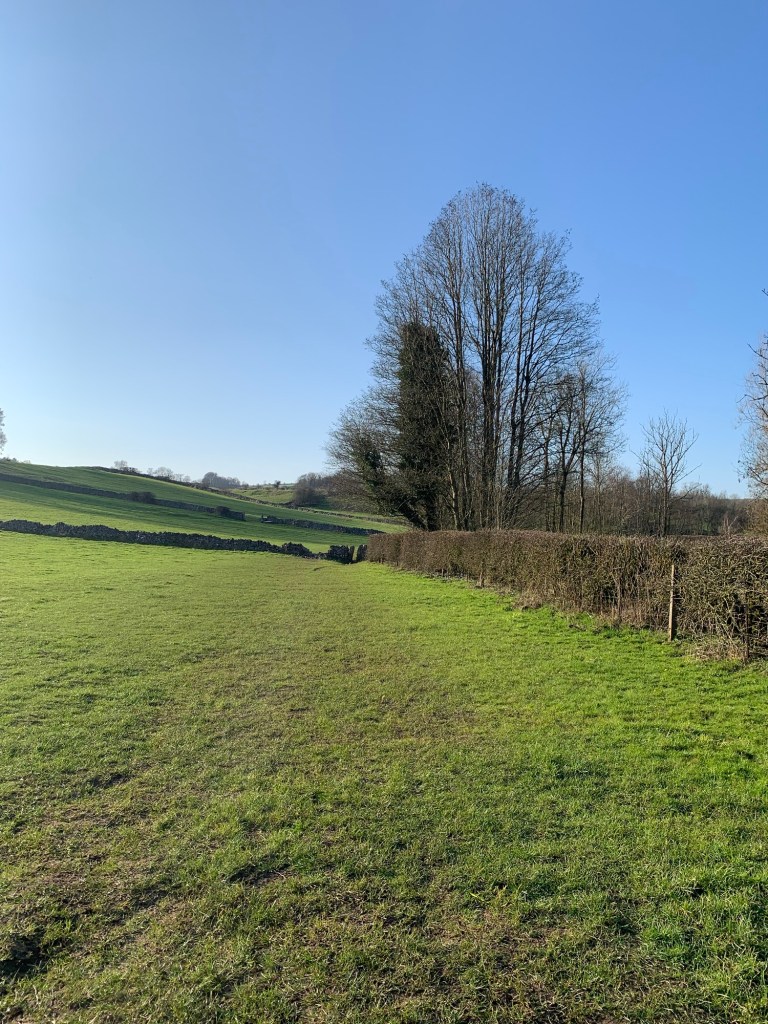
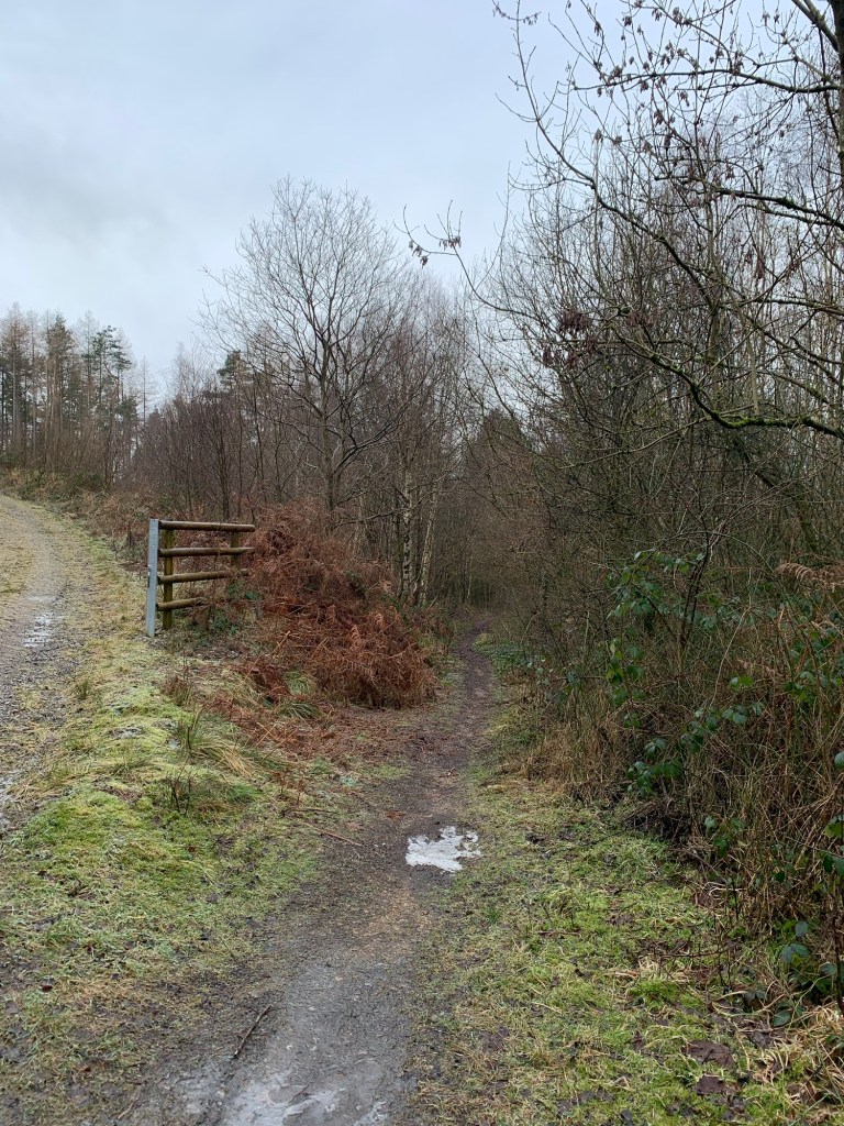
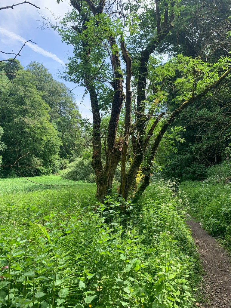
However we don’t let this put us off and continue onward through scrub and rough pasture away from the river which is now more of a stream (Roller Brook ).
The area could well be muddy and tough going at other times of the year but today it is dry as a bone.
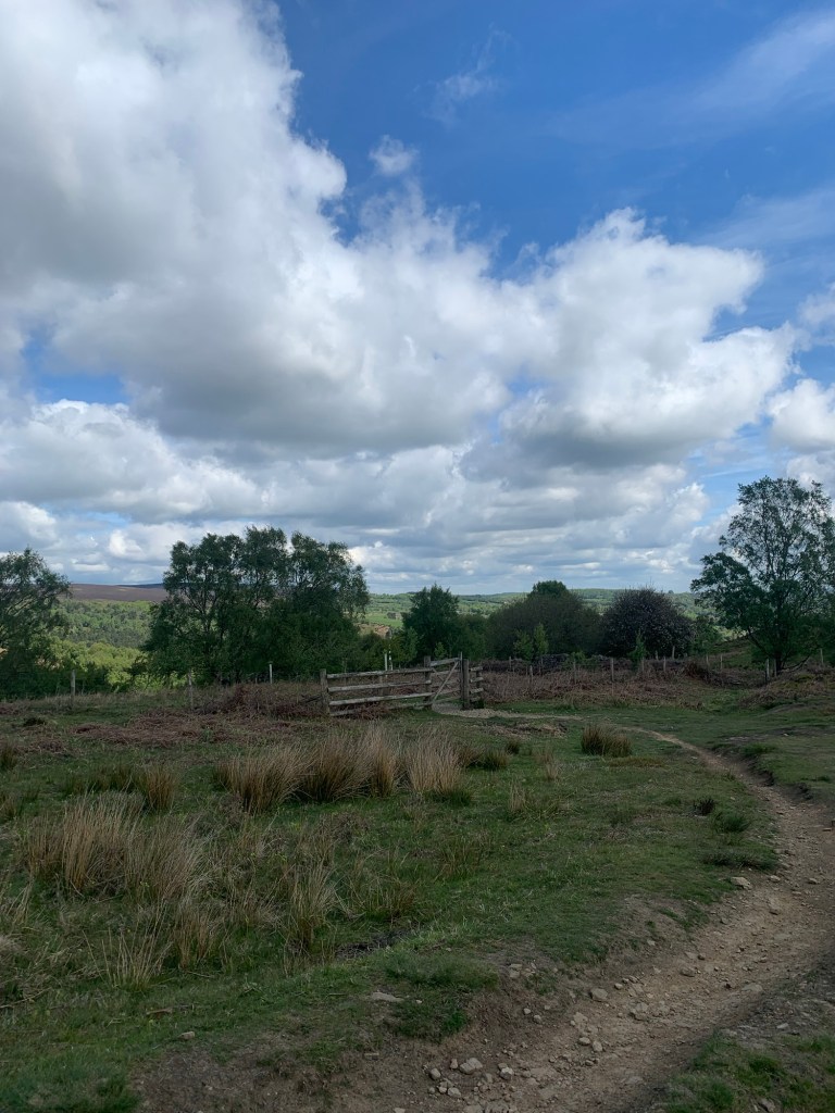
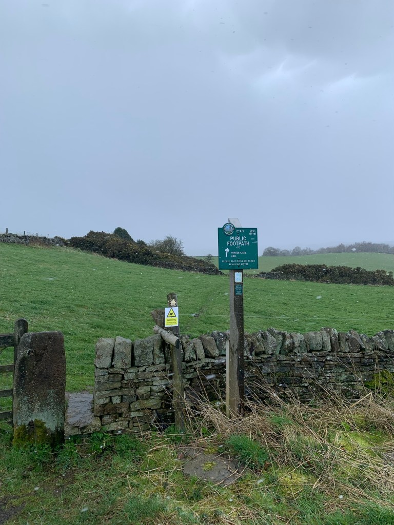
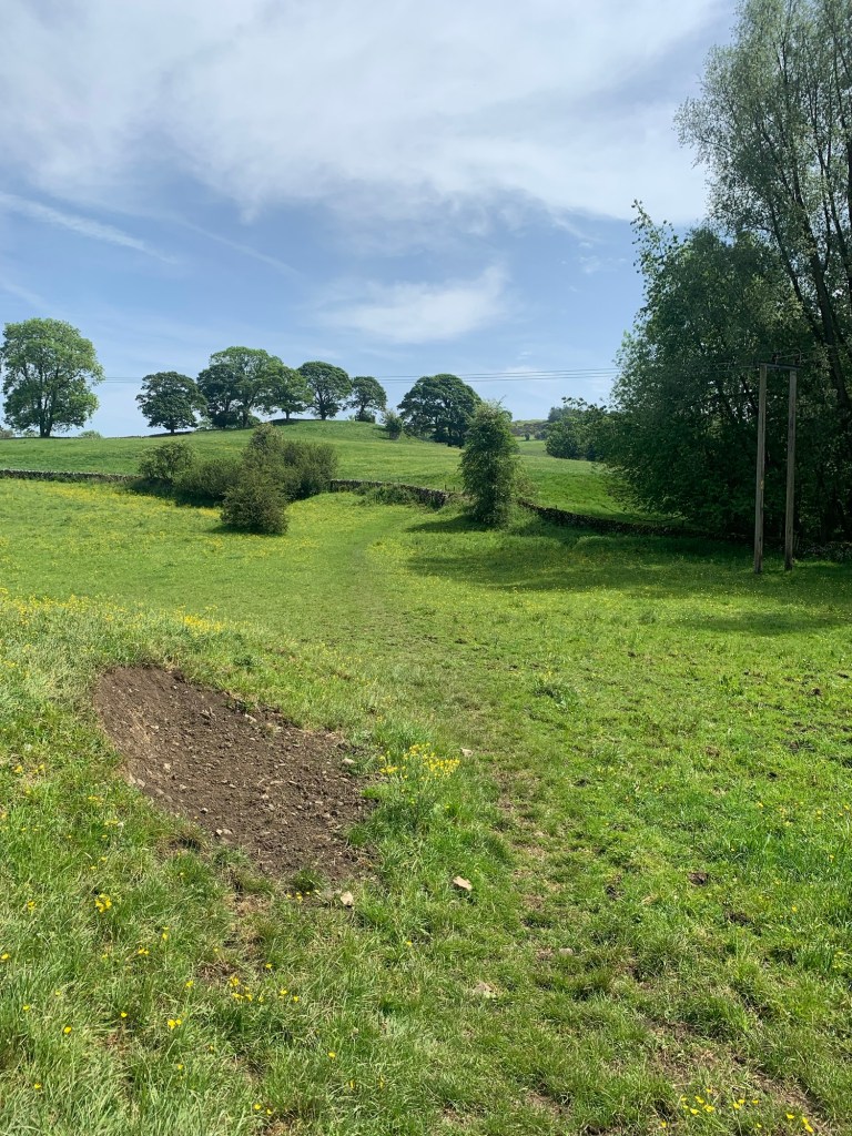
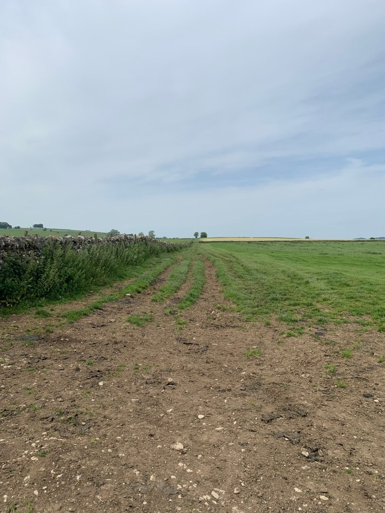
As is often the case with potentially muddy paths there are various alternatives to follow but all lead broadly the same way until the path forks and we bear right heading uphill
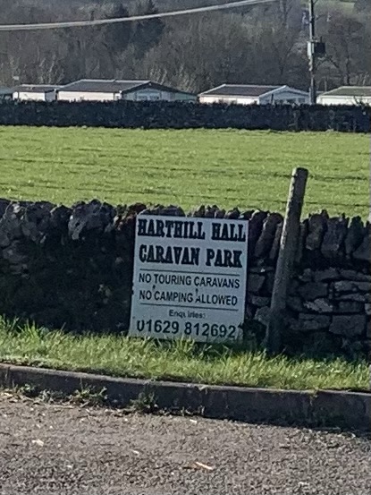
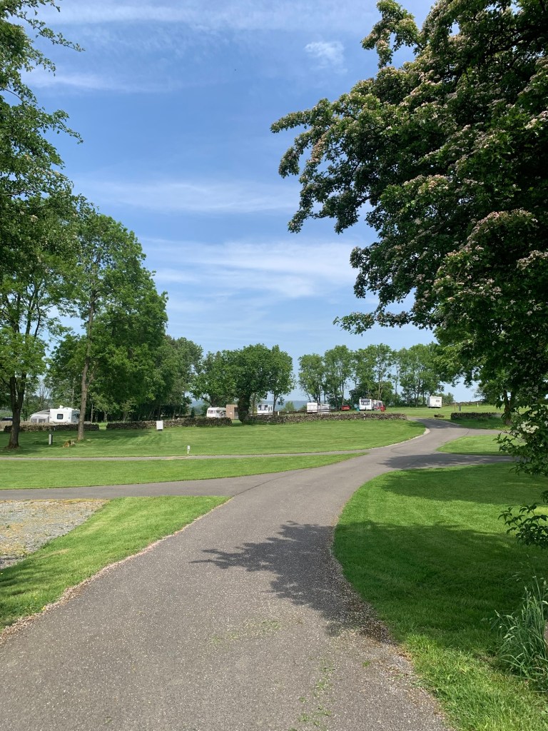
to emerge into the very smart yard of Hopping Farm and it’s equally smart looking caravan site.
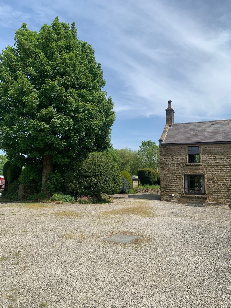
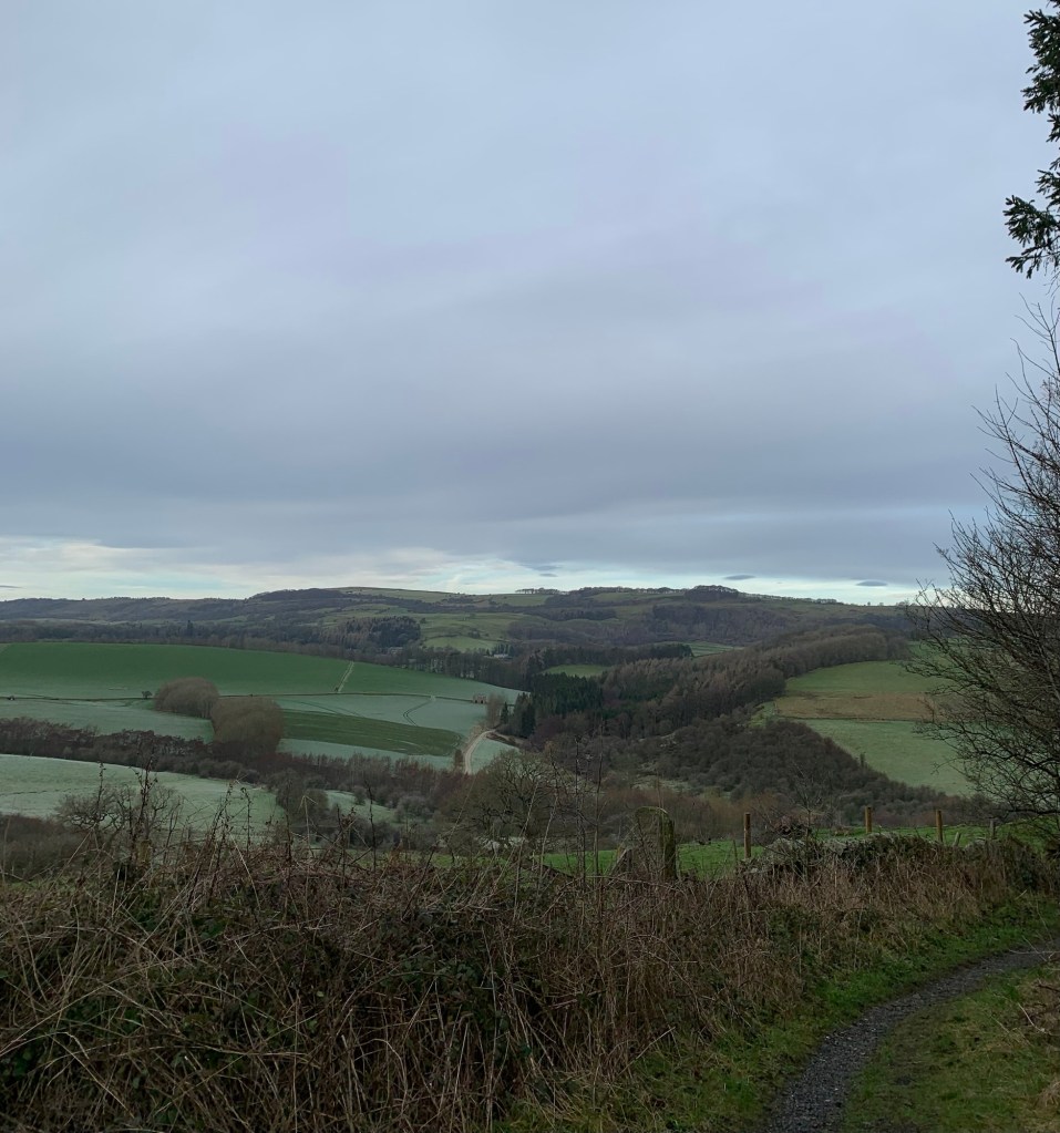
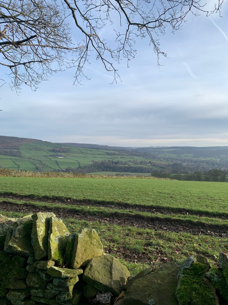
We walk straight ahead and pass to the left of the house and at the other side of the building, whilst the footpath is signed up the grassy bank between the wall and a line of caravans it’s probably less intrusive to walk up the tarmac road with the vans on your left. And there are some lovely views from here too.
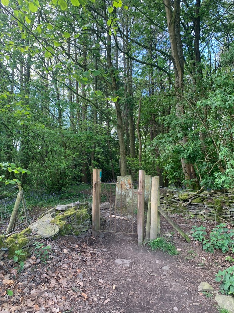
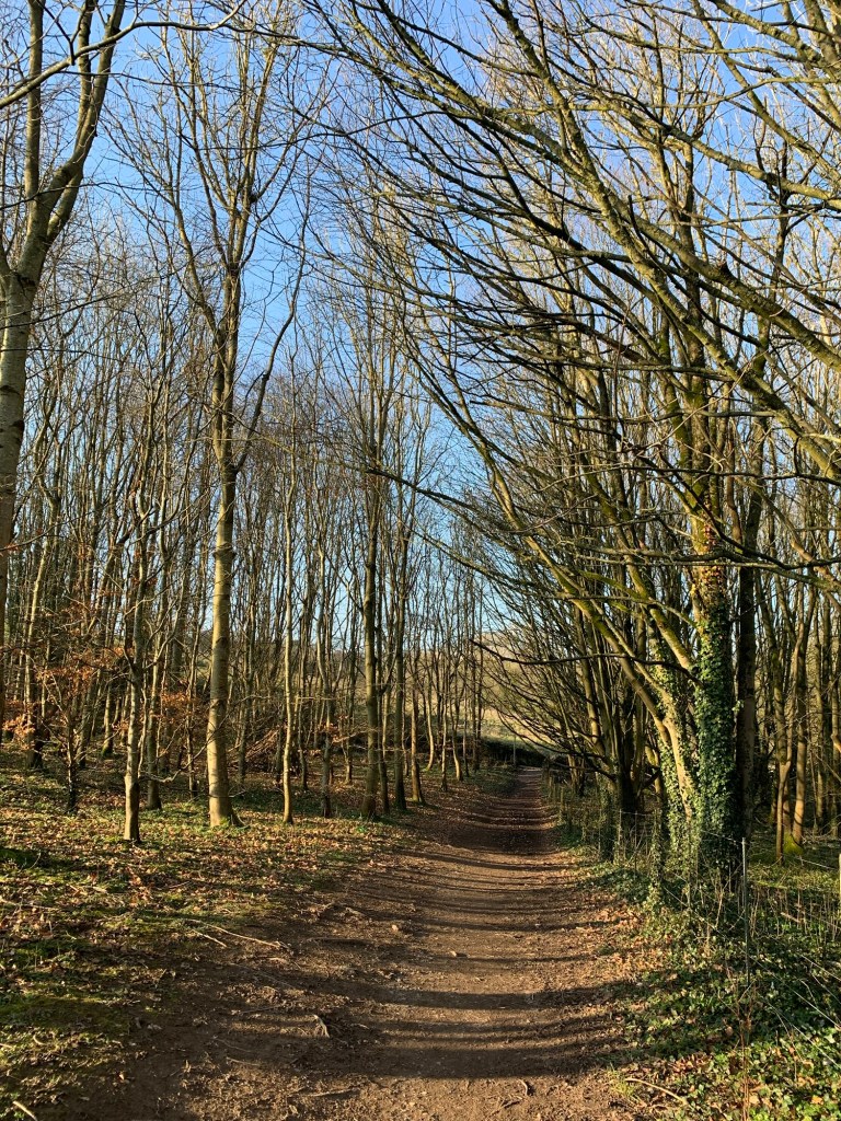
At the top of the tarmac we just break left briefly to get back onto the line of the path and then head up hill to where the path heads towards a stile in the trees.
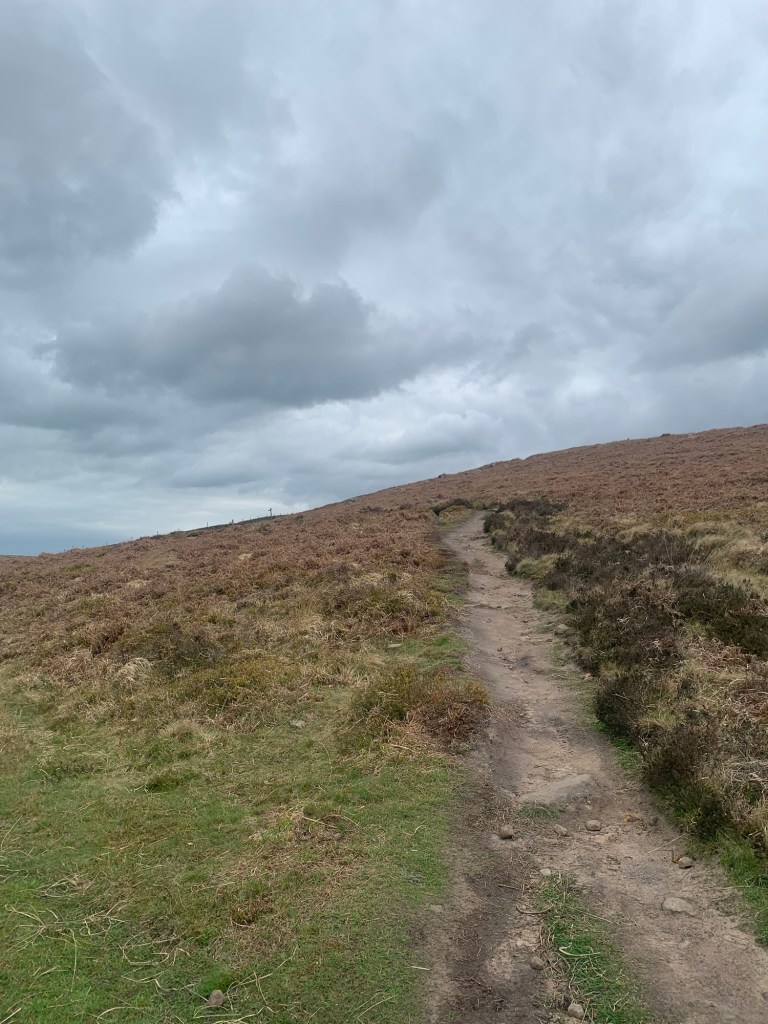
After a further stile the path which is now just a narrow way through the long grass, forks. We make sure to turn right here and head steeply uphill
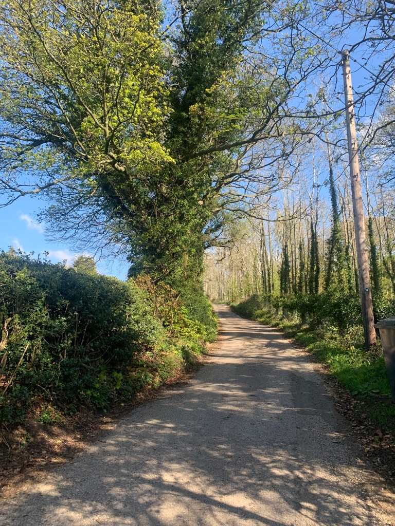
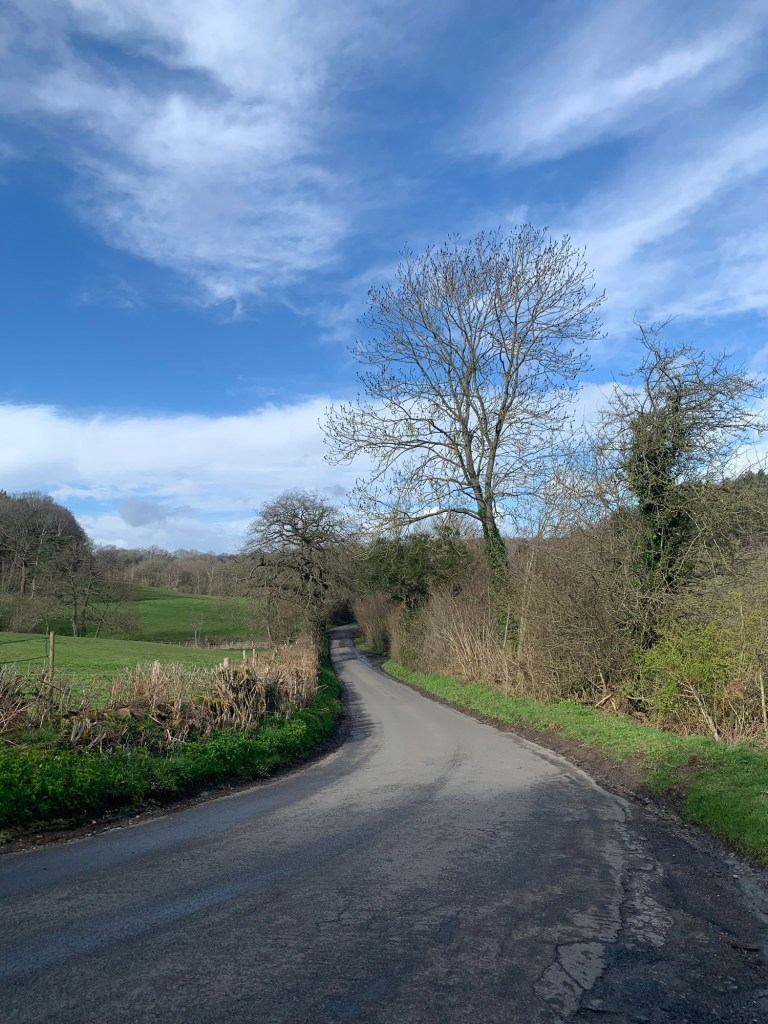
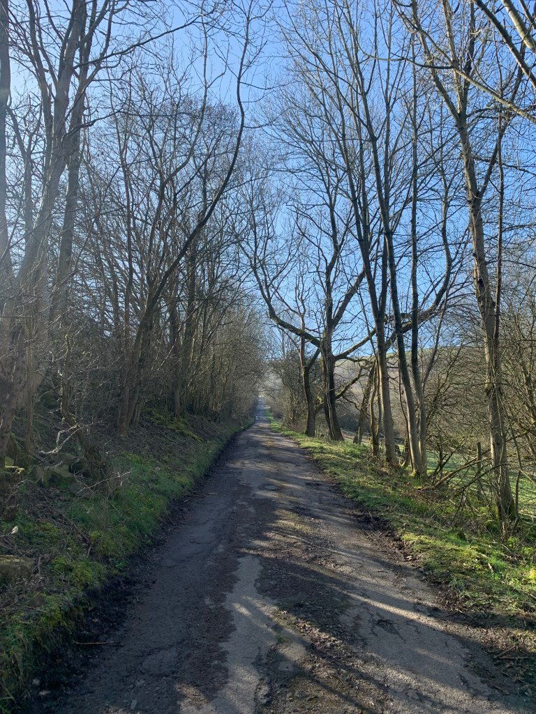
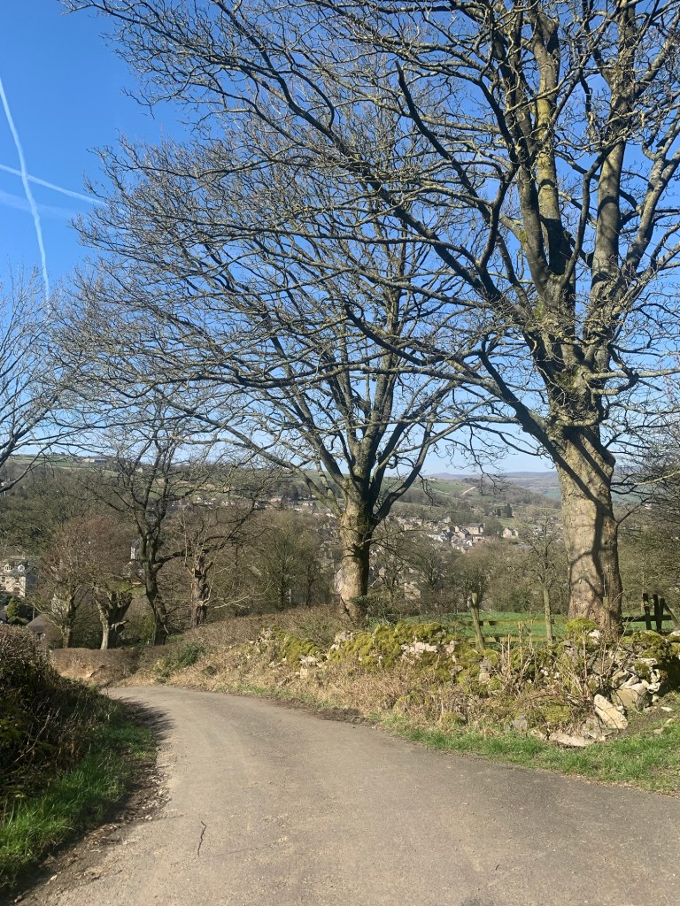
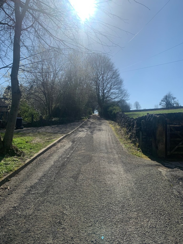
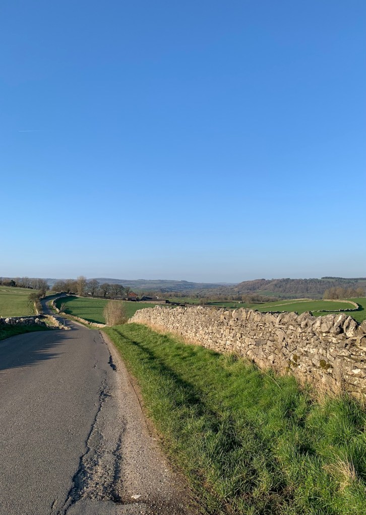
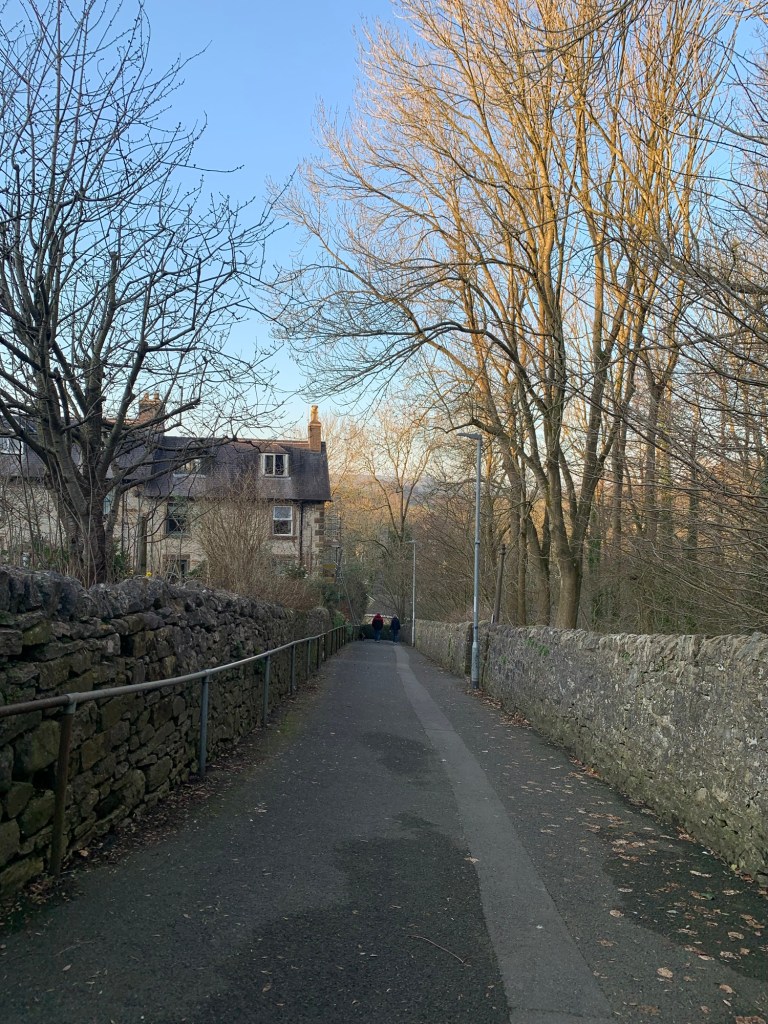
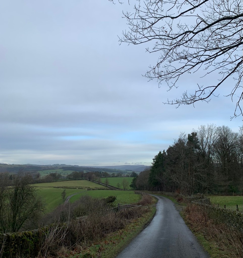
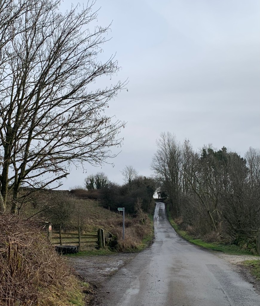
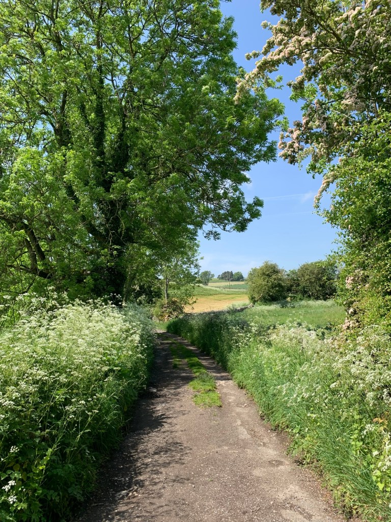
to emerge onto Mawstone Lane, another very pretty lane and seemingly quite traffic free.
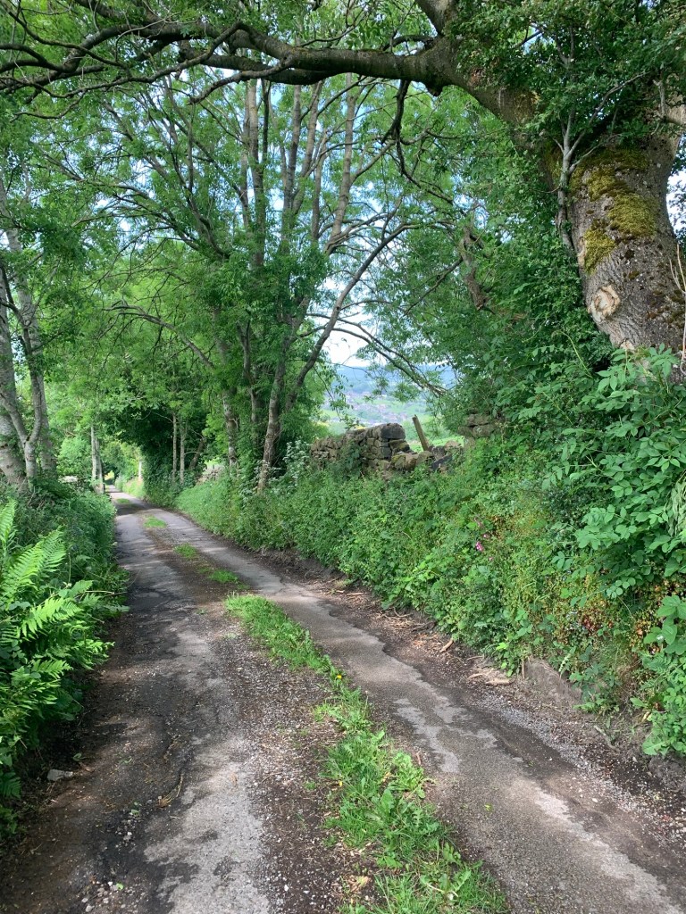
Here we turn left and now we are indeed heading downhill and back towards Youlgreave. We pass the road access to the caravan site and we do have to stop for one or two motor homes to squeeze past us but apart from that it’s a quiet road all the way back to the bridge at the bottom of Bradford Dale where we were earlier.
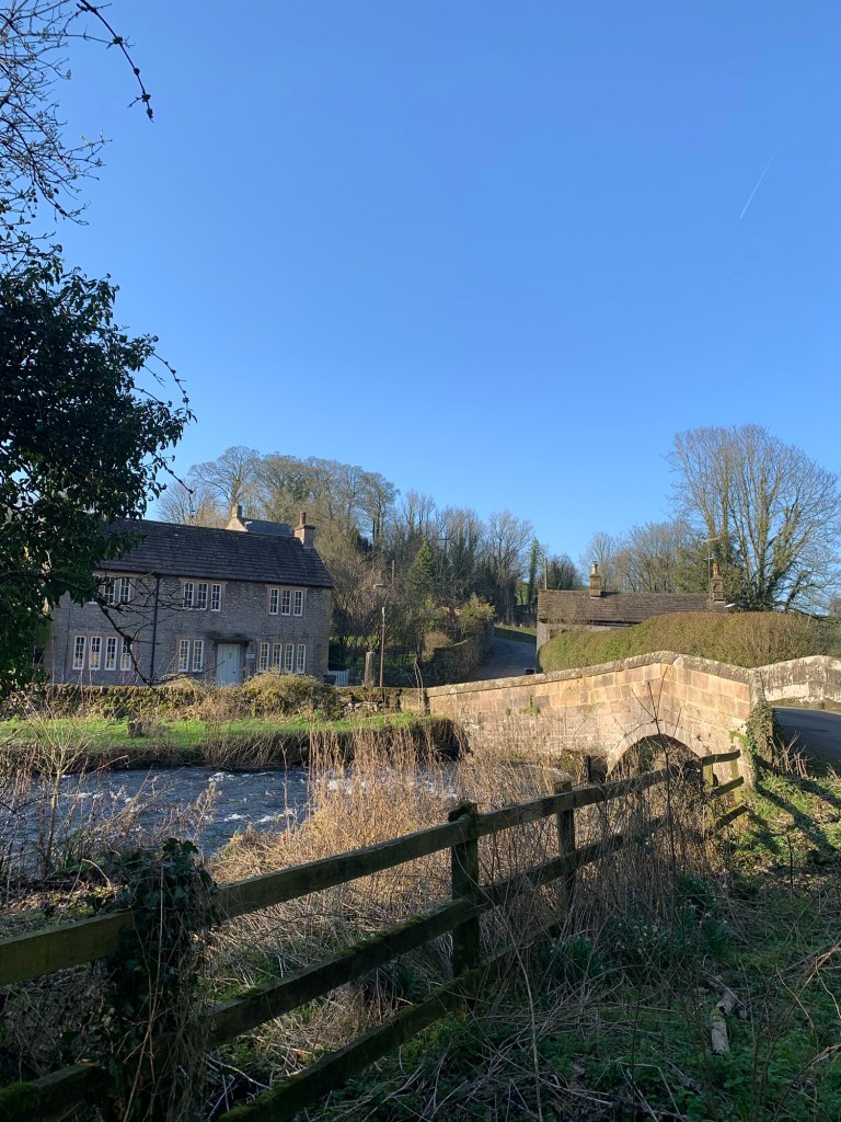
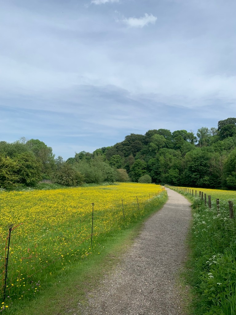
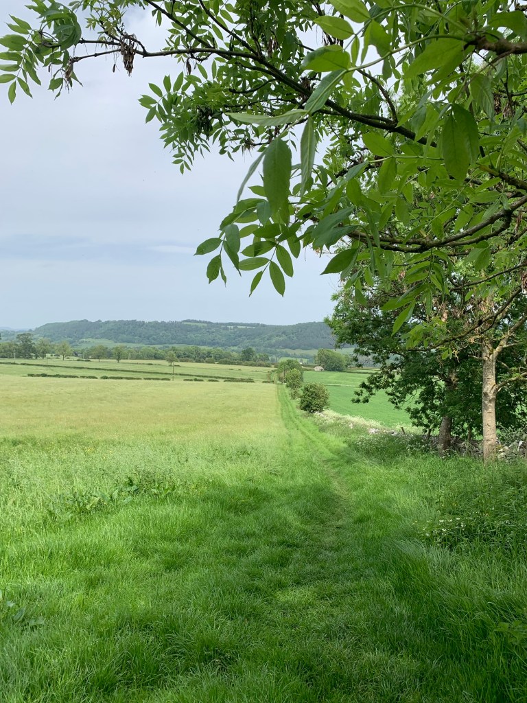
This time we turn right and follow the pretty river path downstream through beautiful meadows
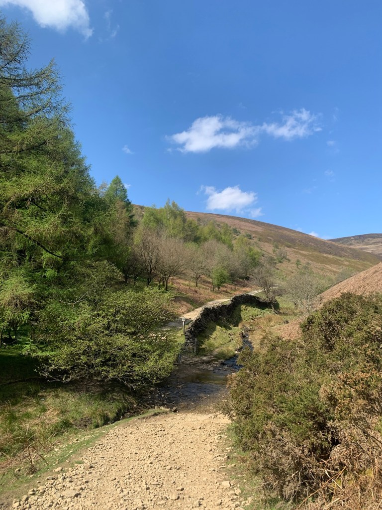
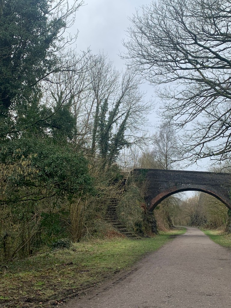
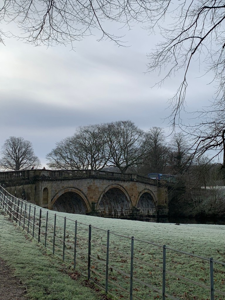
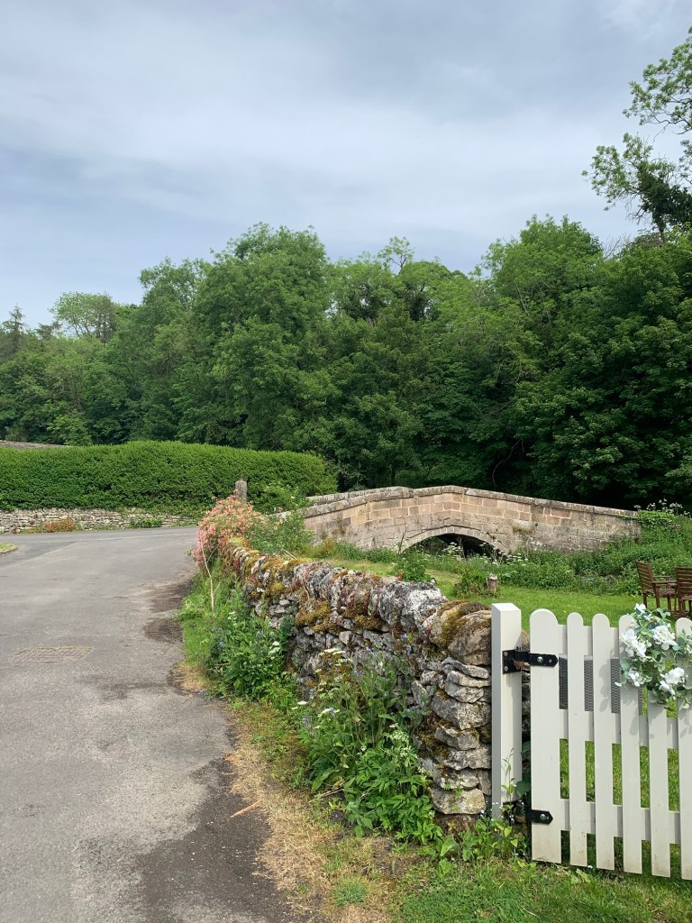
and passing yet another interesting bridge, this one an 18th century packhorse bridge
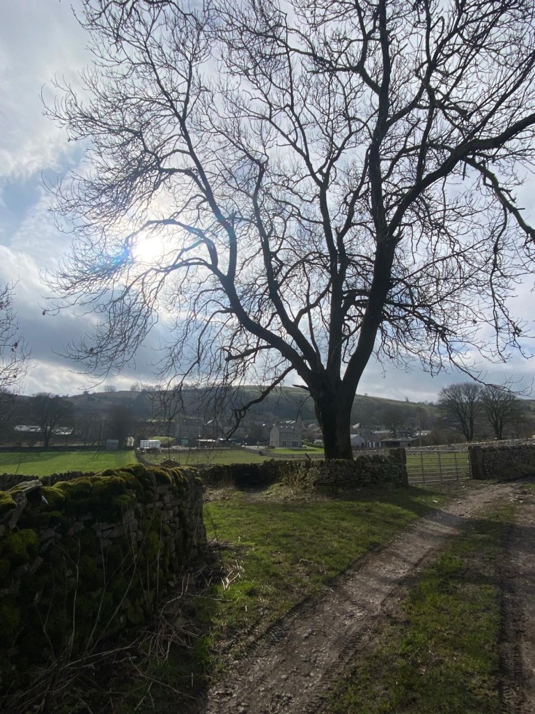
before reaching the tiny village of Alport.
We’ve walked through here a number of times previously on our alphabet walks.
This is where the river Bradford joins the Lathkill.
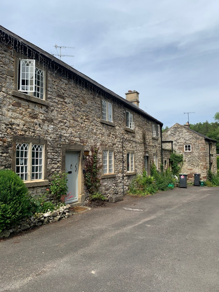
We take the back road past the row of houses just because it’s prettier and quieter than the main road.
Then turning back to the main road we cross over to head up the ominously named Dark Lane bidding farewell to today’s rivers and their valleys.
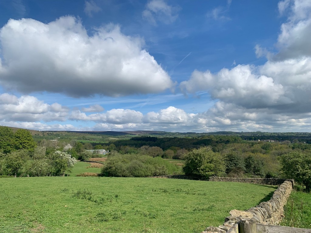
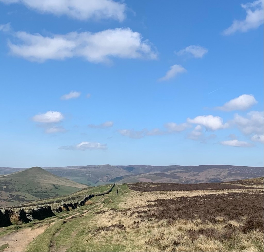
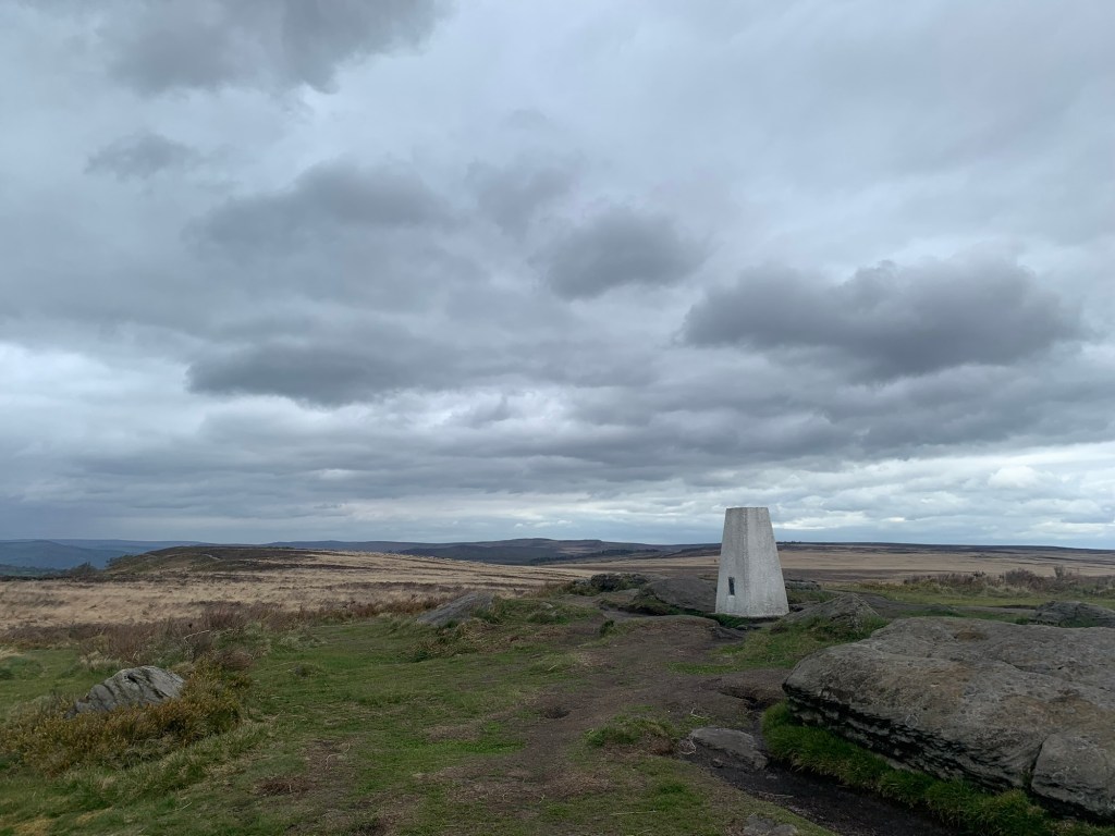
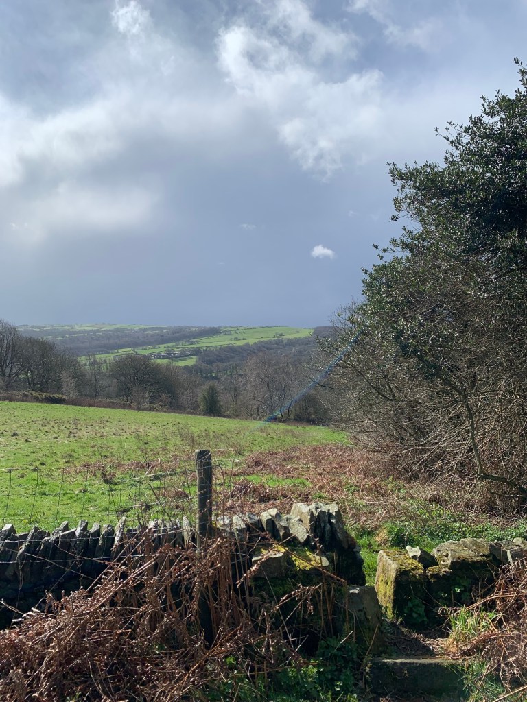
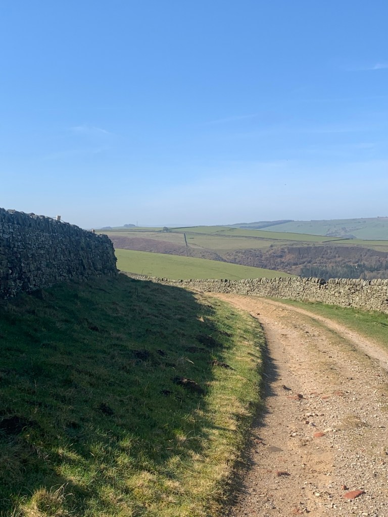
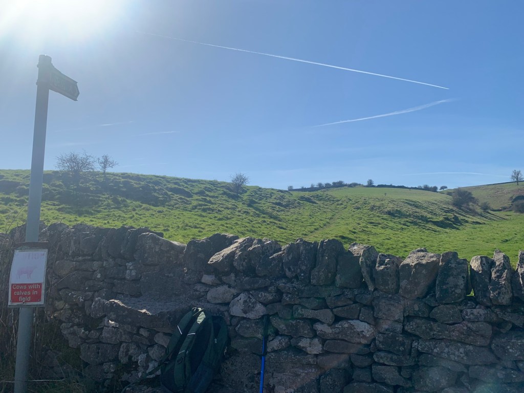
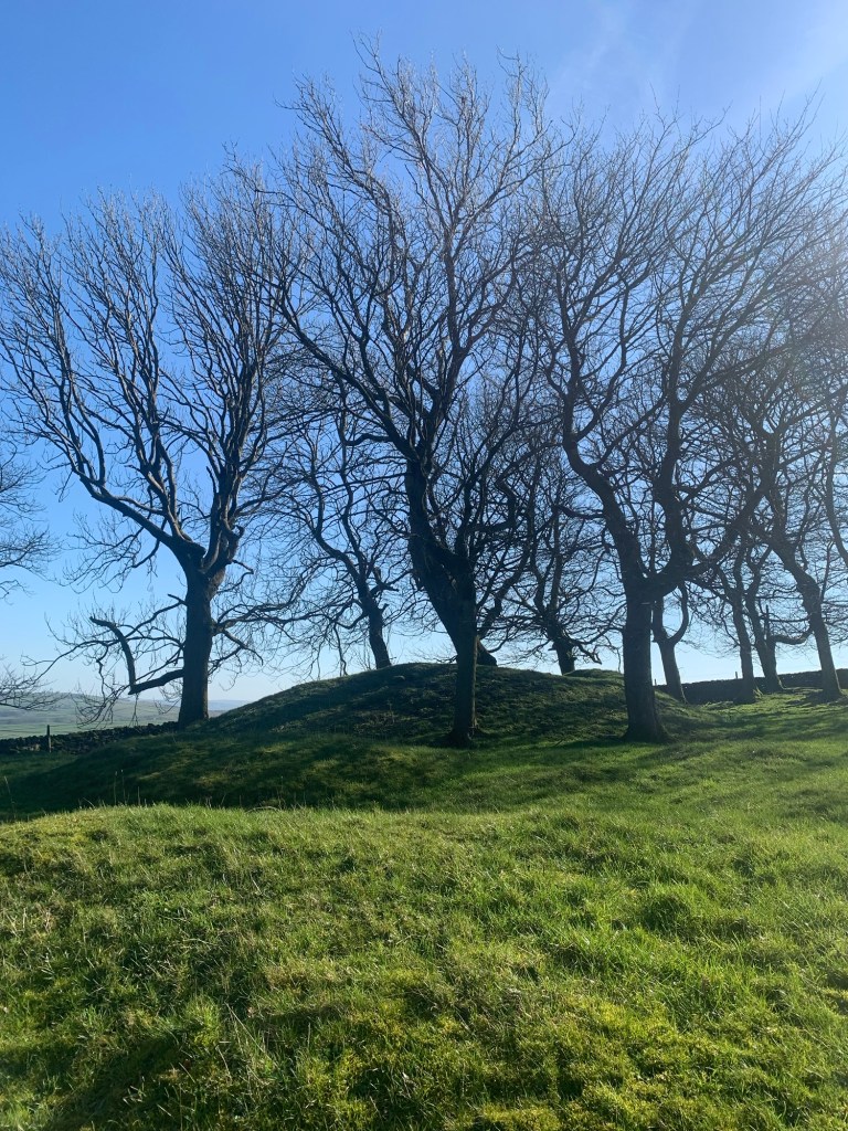
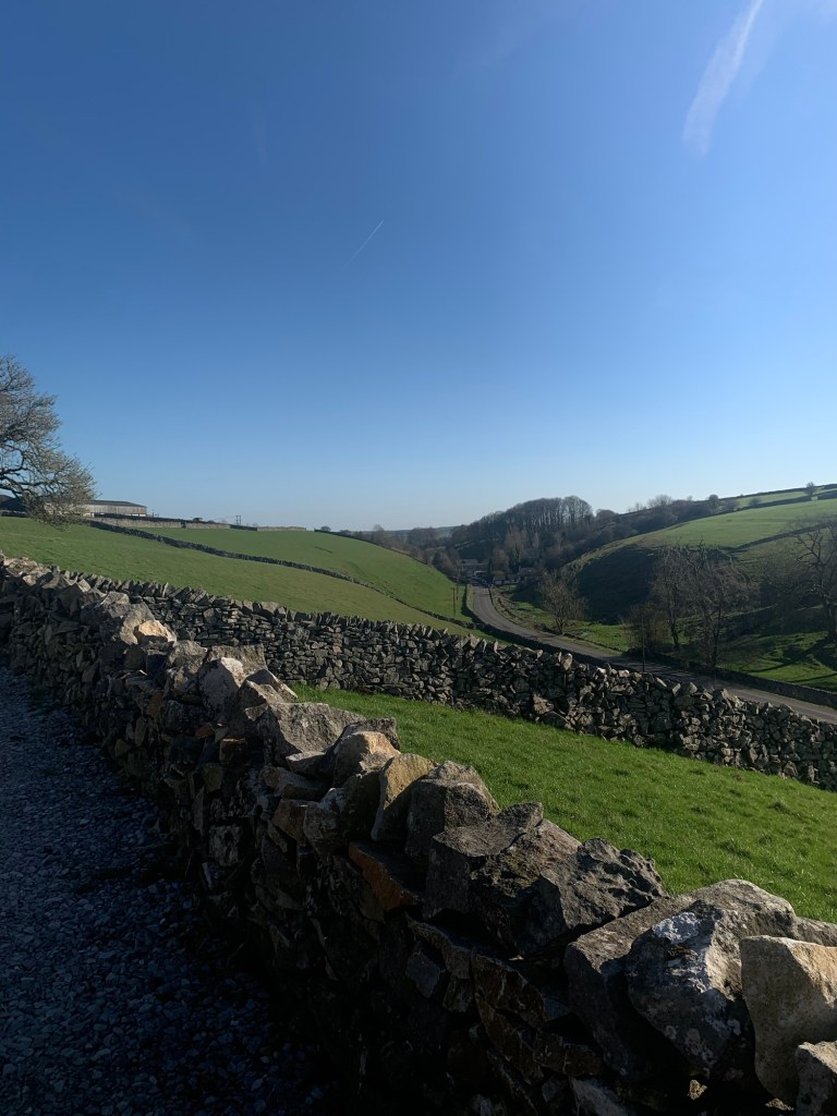
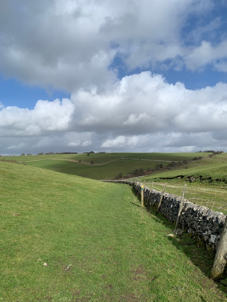
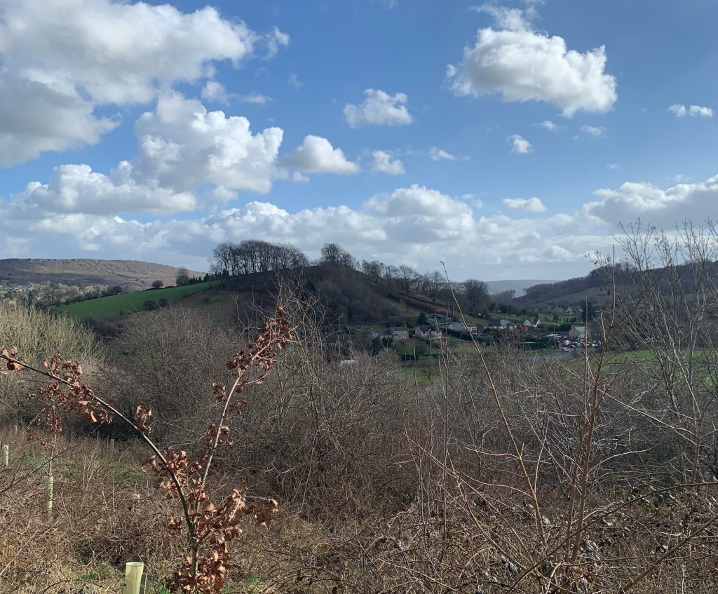
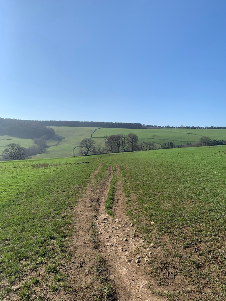
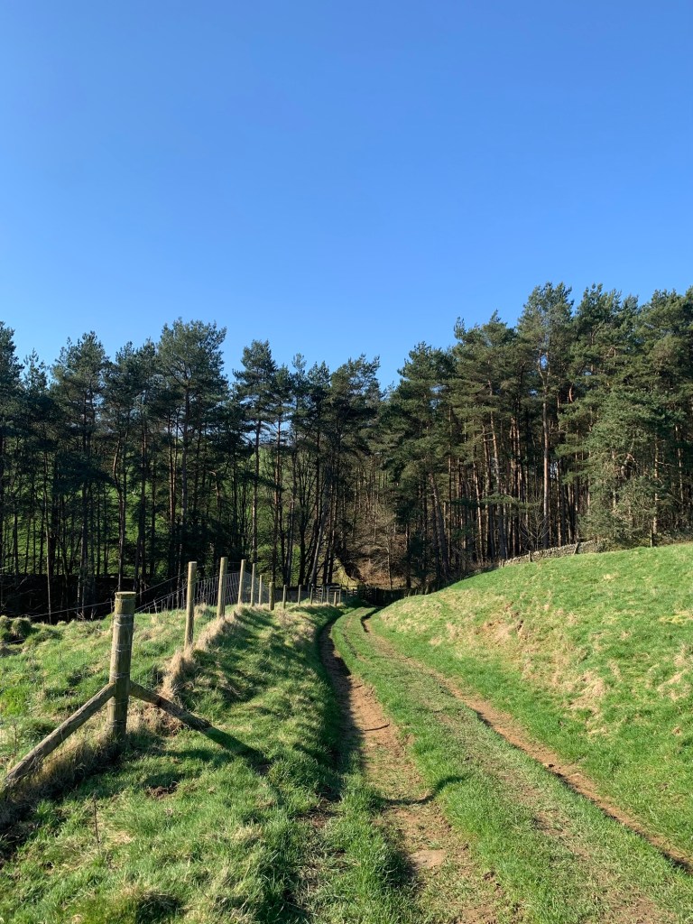
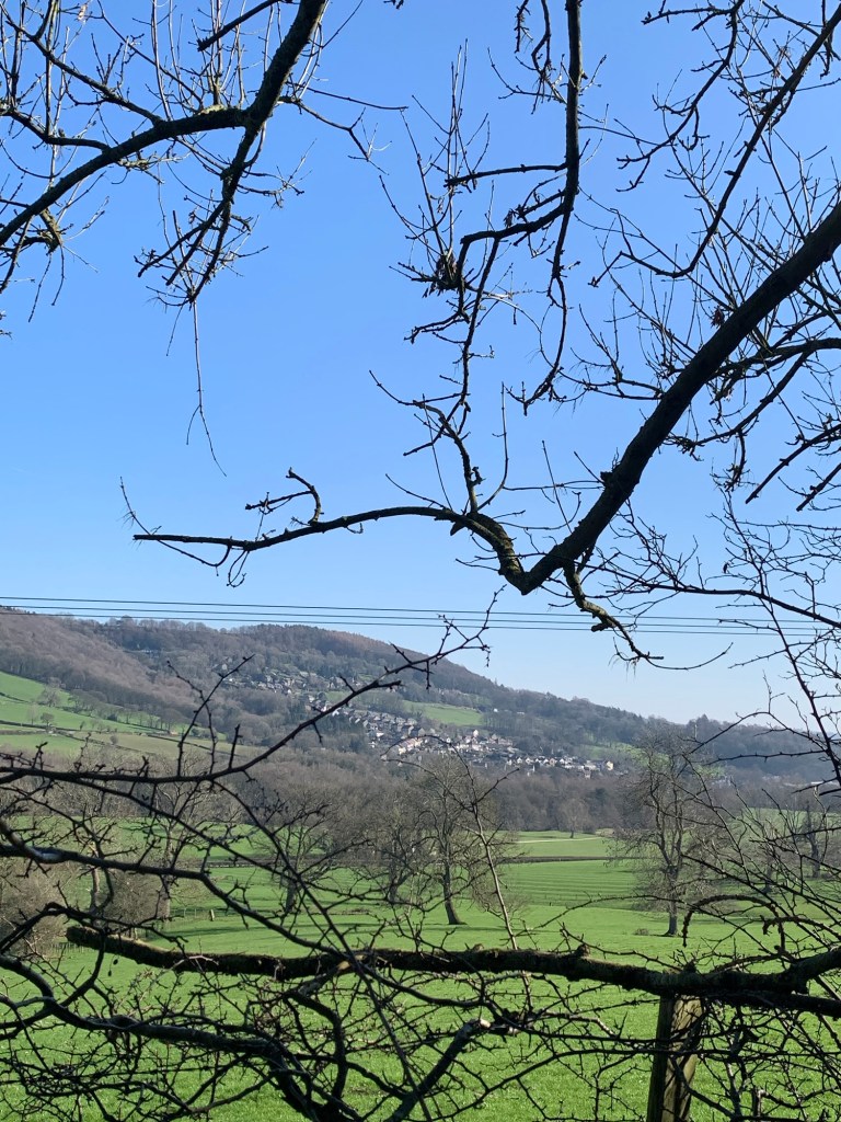
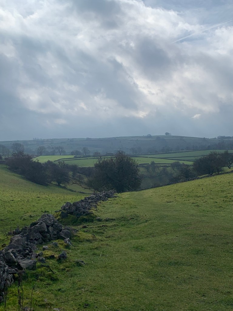
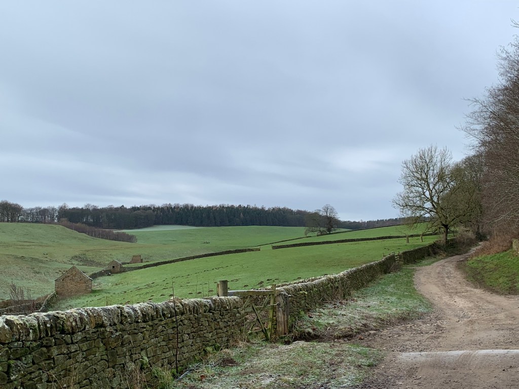
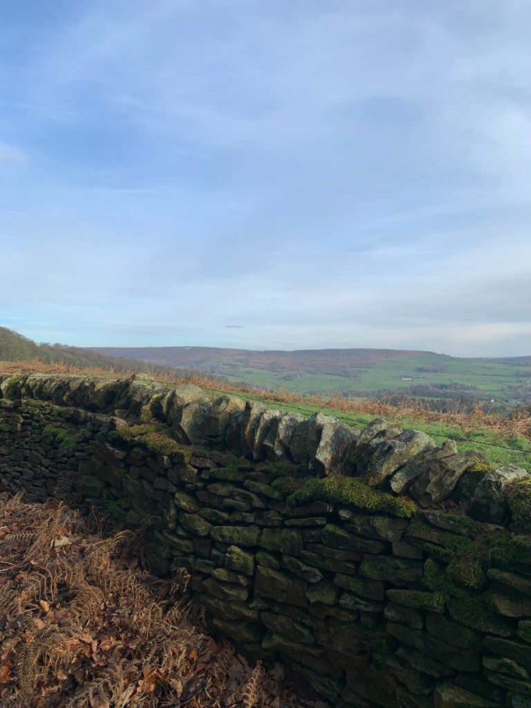
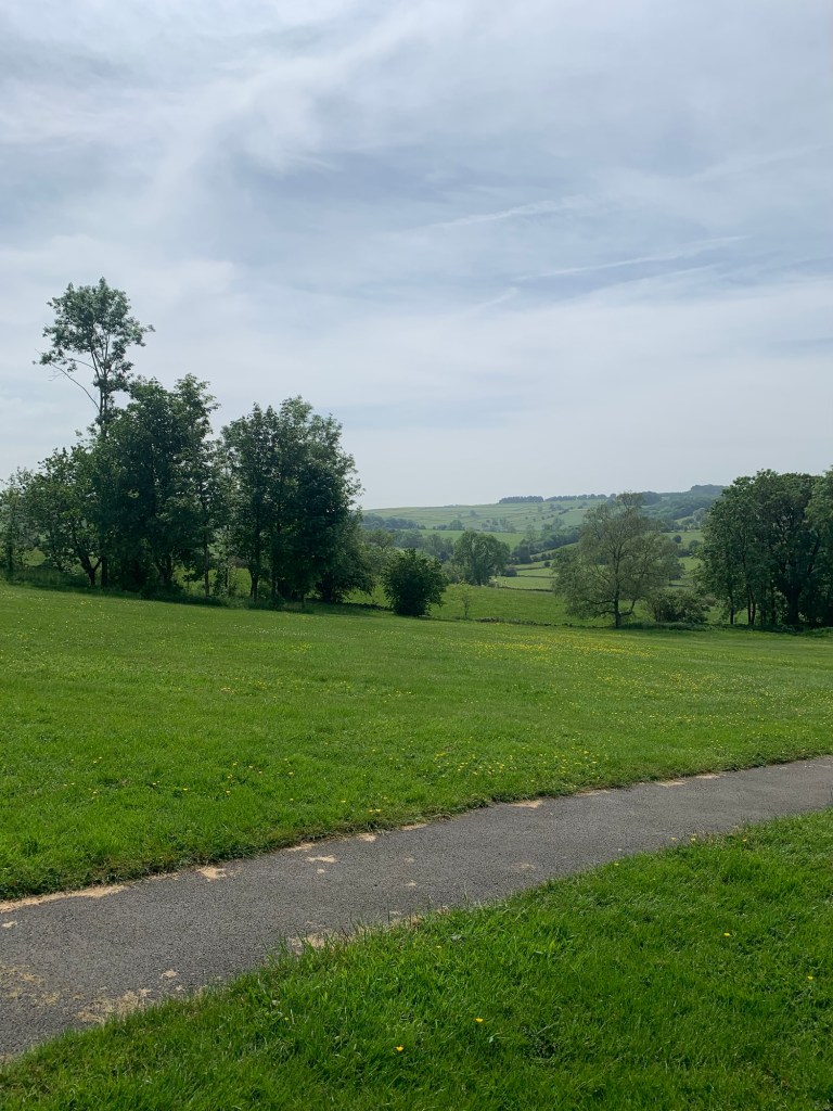
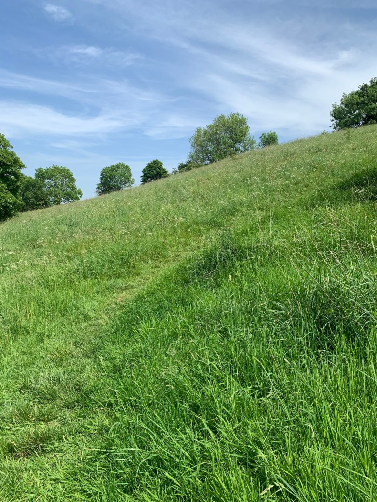
Now we’re heading along the route of the old Portway an ancient trackway we’ve followed before taking us uphill and back towards Bakewell with views of Over Haddon across to our left.
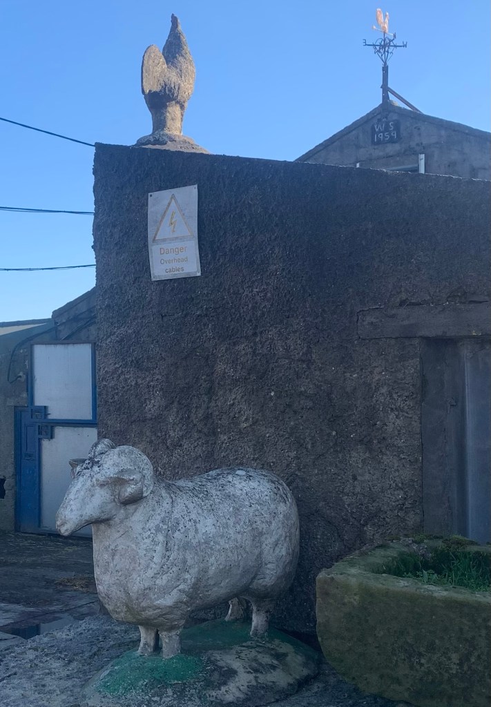
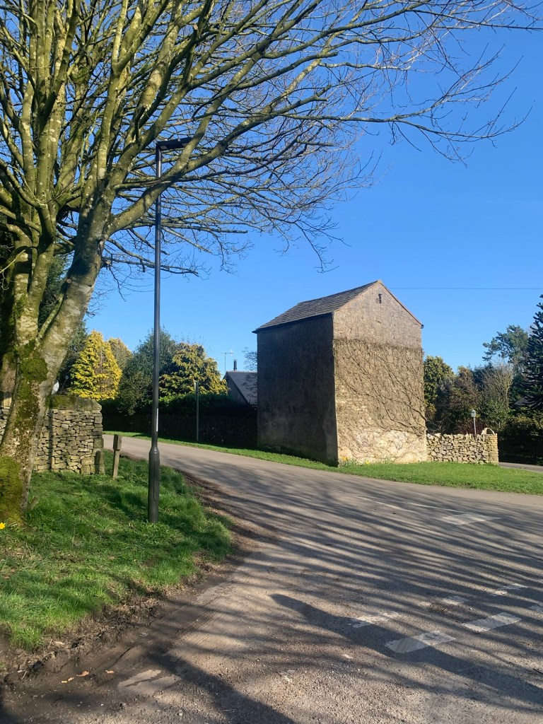
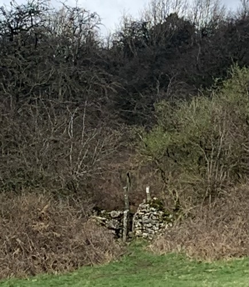
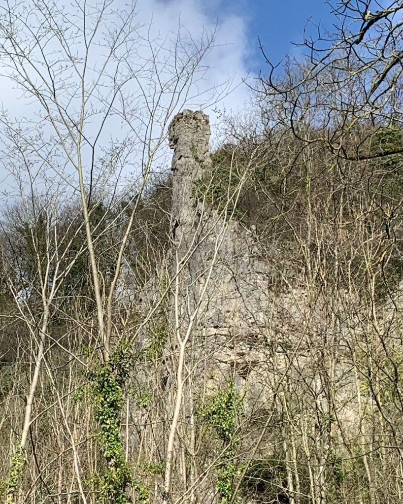
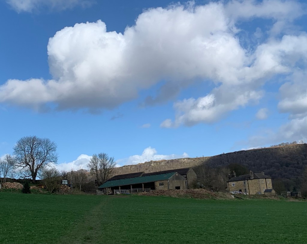
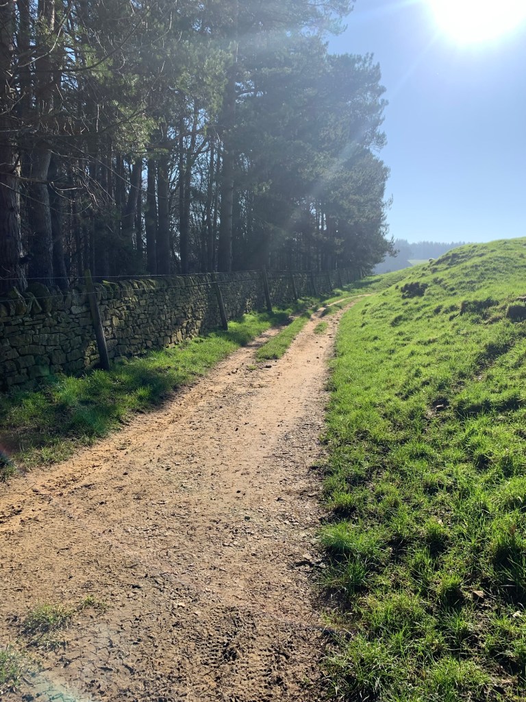
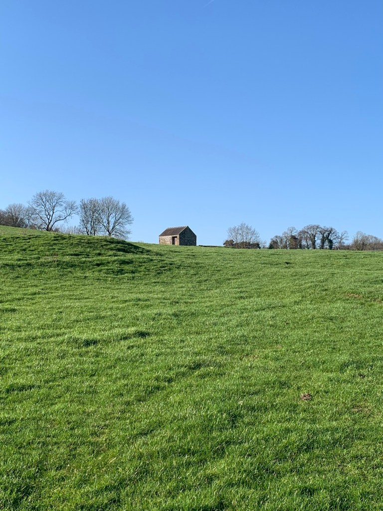
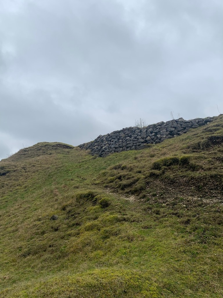
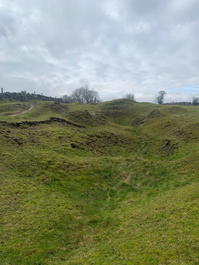
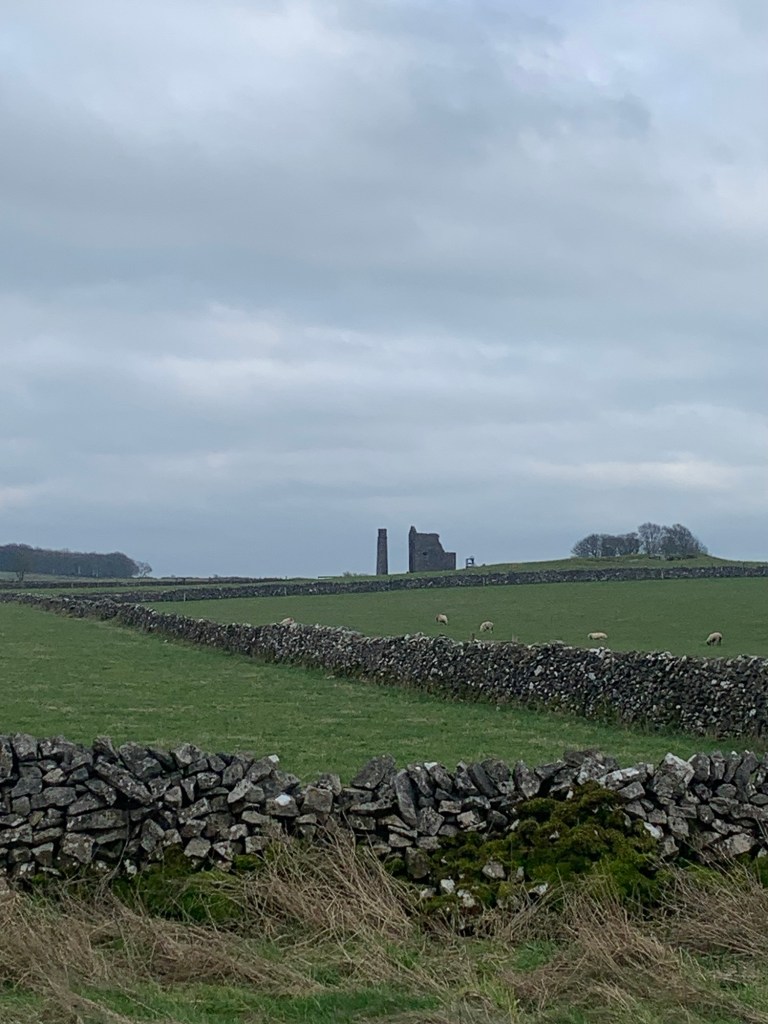
The lane becomes a field track after passing through a gate and past a dilapidated looking barn. This is marked on the map as Raper Mine and apparently it’s another blast from Derbyshire’s industrial past having been a fluorspar and lead mine in the 19th and 20th centuries.
The route ahead is as straight as a die making us wonder whether the Romans played a later hand in refining this section of the Portway, or maybe the ancient Brits just had more sophisticated measuring skills than they are given credit for?

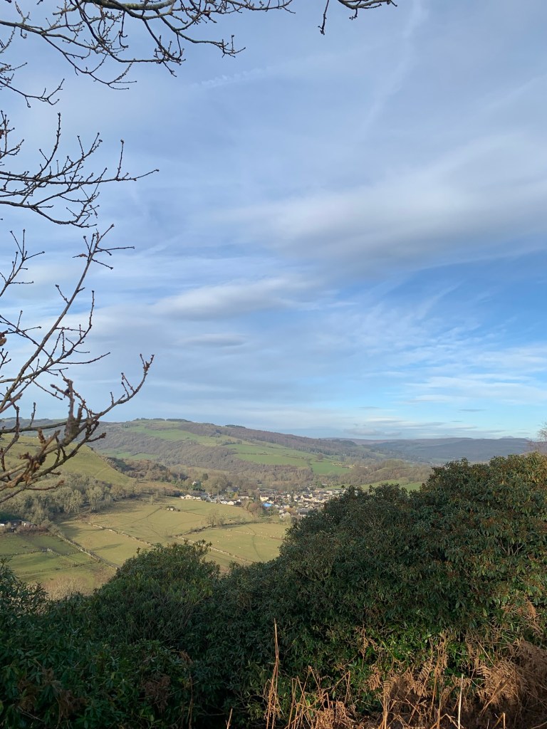
The footpath joins the road at the crest of the hill and we continue ahead past Norton Barn farm. Our feet know the way as it’s our usual route back towards Bakewell.
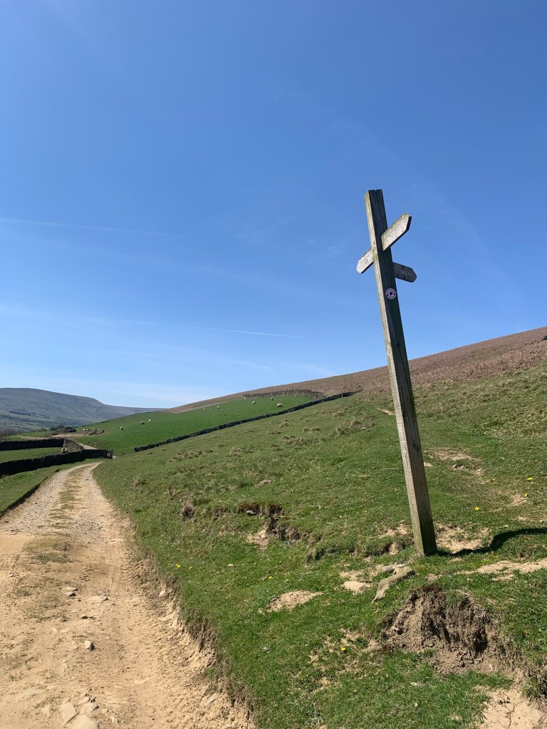
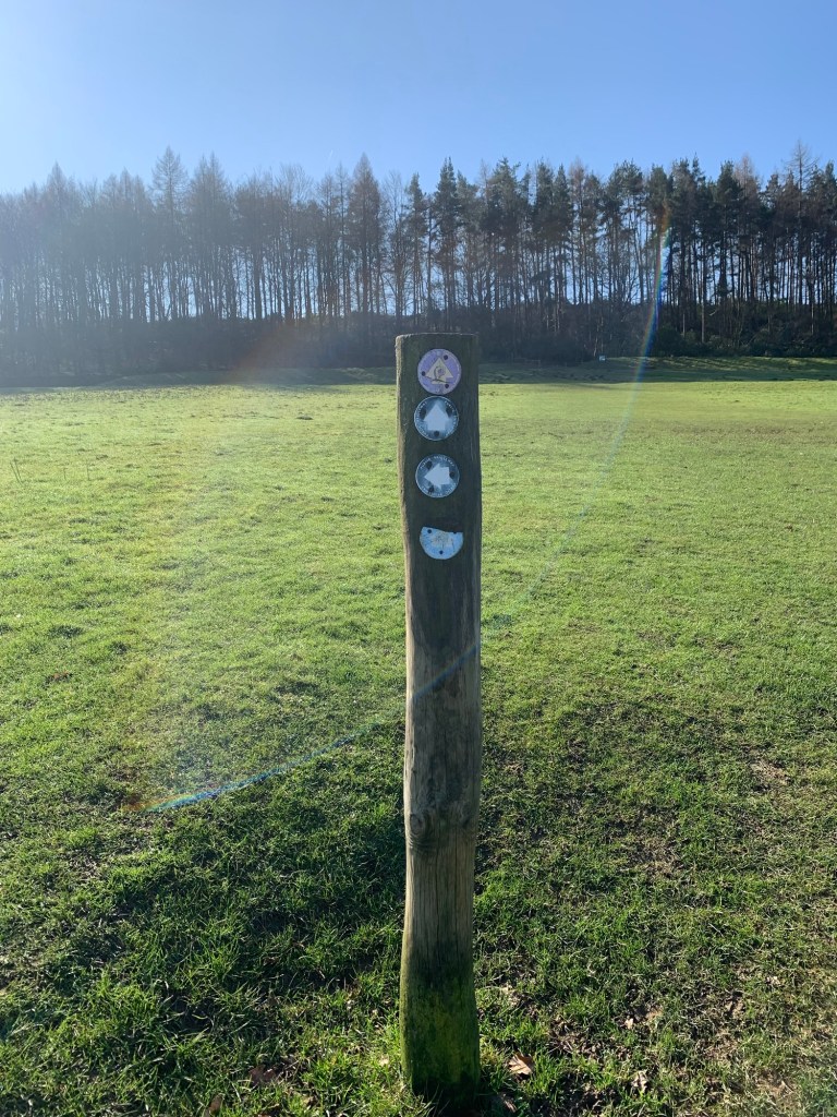
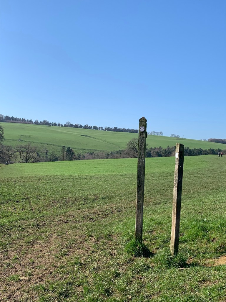
But on reaching the fingerpost on our right where we usually take the diagonal path across the fields we notice there’s another path marked straight downhill and on a whim we decide to take this way just for a change.
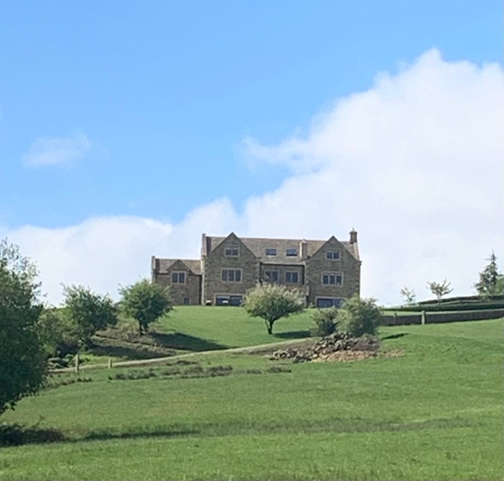
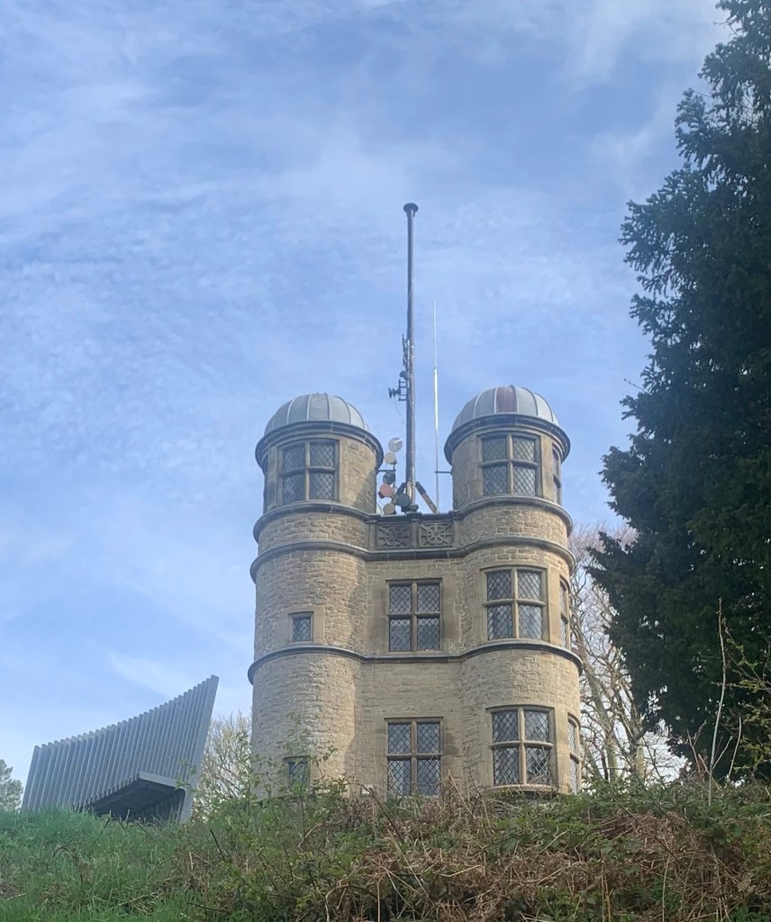
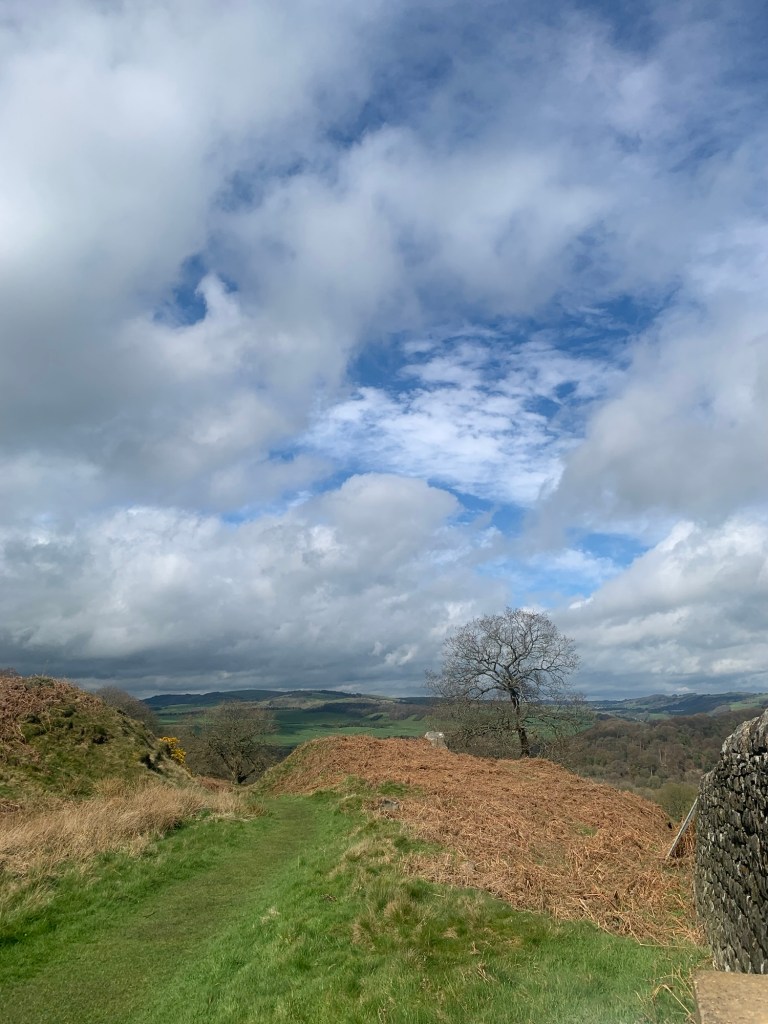
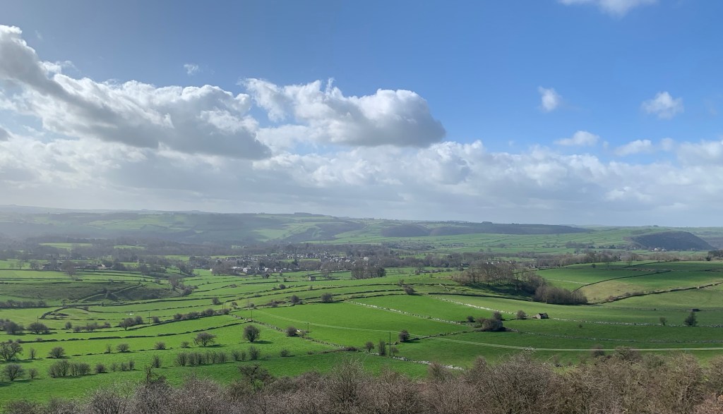
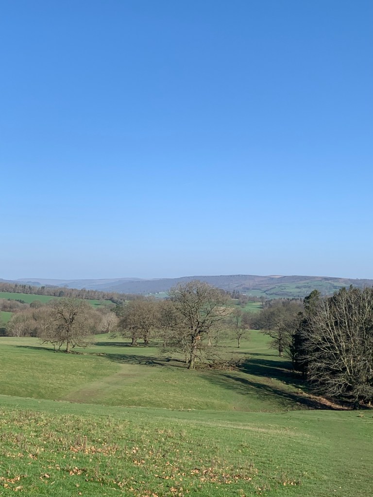
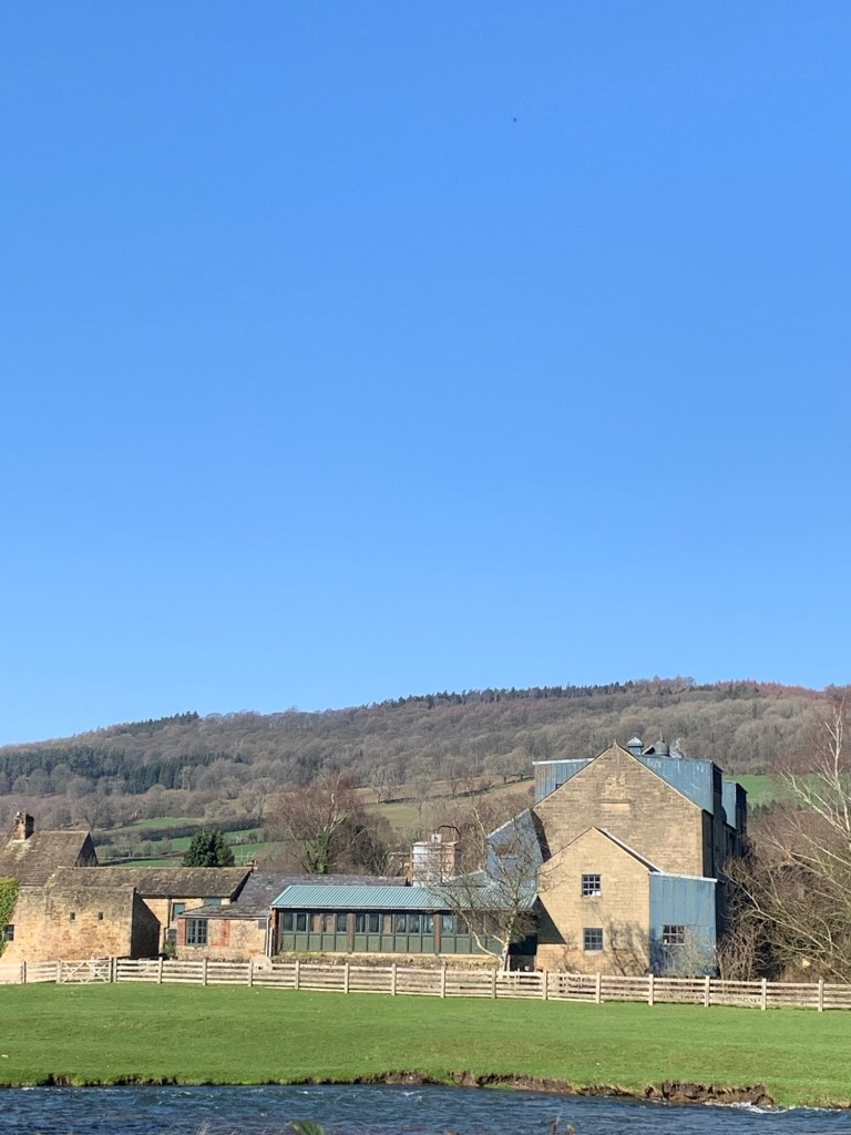
A few minutes later we are well rewarded for this decision as we get a magnificent view over to our right of the elusive Haddon Hall looking every bit as magical and Romantic as it does on film and so we continue to head downhill with thoughts of Rochester and Jane Eyre on our minds.

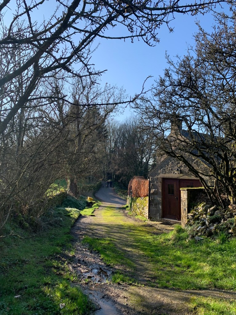
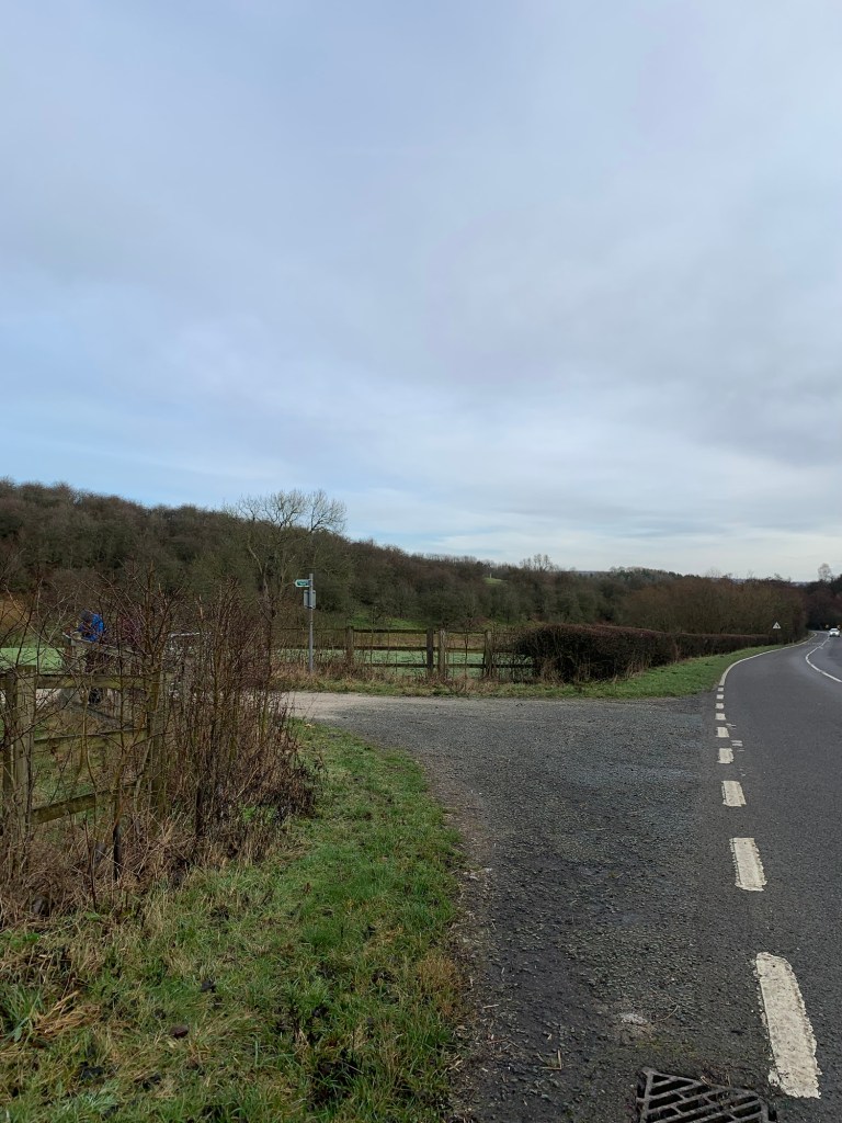
At the bottom of the hill It’s a bit of a harsh reality check when we emerge onto the ever busy A6 via a bit of a scrap yard but having dodged the traffic and crossed the road we’re now on another little adventure as we follow an overgrown footpath sign on our right
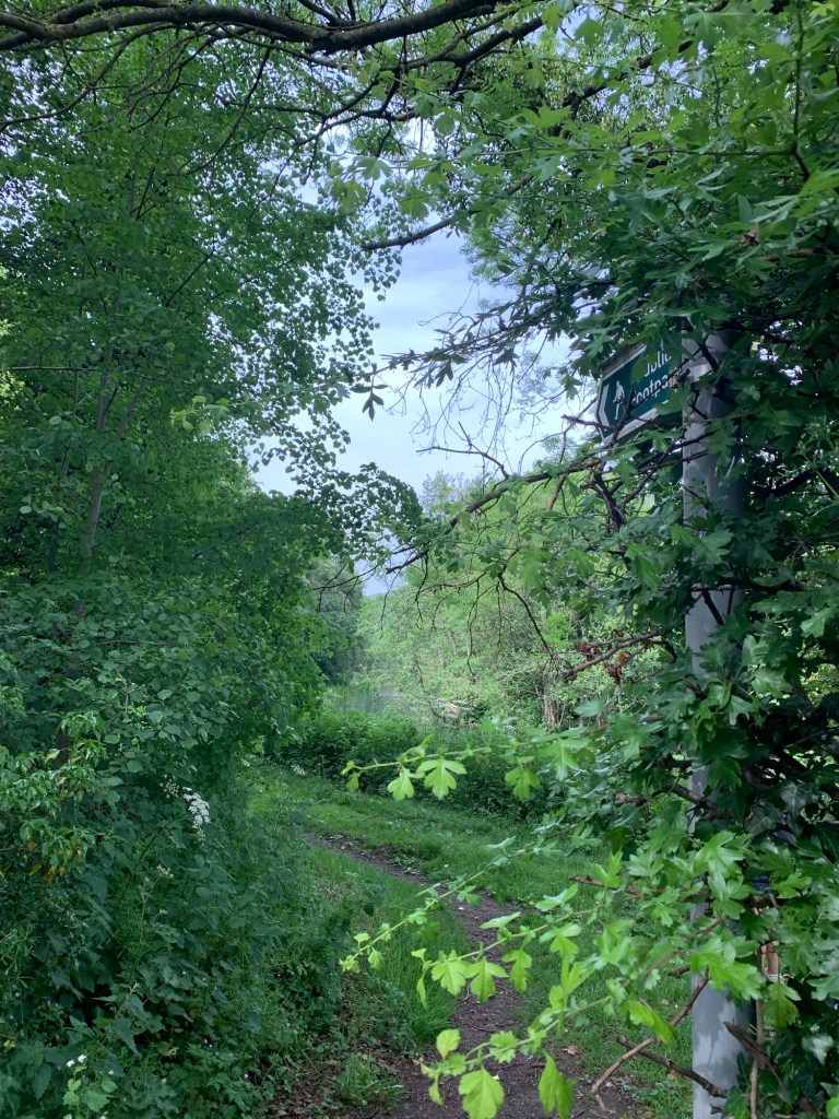
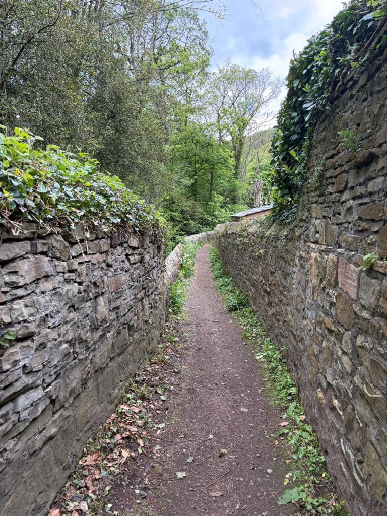
which takes us along a series of half forgotten ginnels behind the houses. Luckily the path is not too overgrown with nettles as we’ve managed to avoid getting stung so far today.
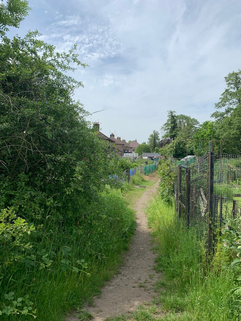
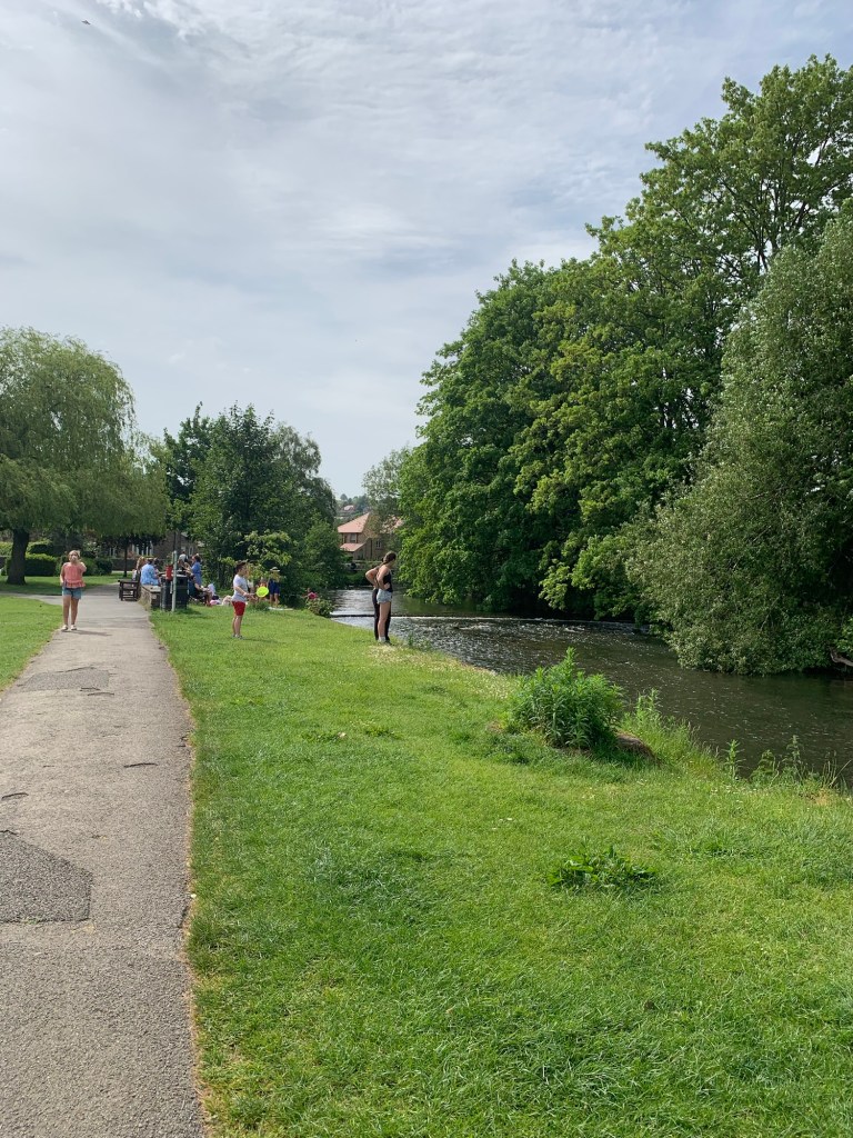
This series of ginnels successfully dodges the main road and brings us out with a flourish into Bakewell’s splendid Rutland Recreation Ground where we are once again surrounded by families enjoying the sun.

We walk around the perimeter path by the River Wye which is also doing service as an outdoor swimming spot today and we pass a couple of ice cream vans having decided our preference is for a nice cold beer.
We make our way through a Bakewell with a very holiday feel to it towards the bus stop actually hoping there won’t be a bus in so that we can get a drink.
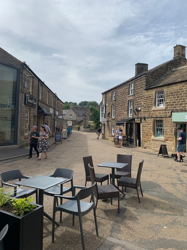
The ( not particularly reliable) display on the bus shelter gives us 18 minutes so it’s a quick dash across the road to the Red Lion. The pub seems to be in obstinate denial of the summery weather outside as it’s still got its Christmas trimmings up but it does the job providing us with a much anticipated and well earned cold lager before we head back across the road to the bus stop and the 218 to take us home.
A blast of summer in spring and a pleasantly relaxing but interesting walk.
Transport
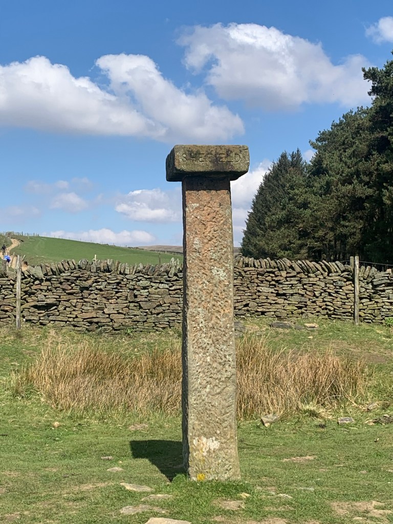
218 (or 257) Sheffield to Bakewell and back again
Pubs/Cafes
Lathkill Hotel, Over Haddon
George Hotel, Bull’s Head and The Farmyard, Fountain Bakery, Peak Feast, Ginger Nut Cafe: all in Youlgreave
How far?
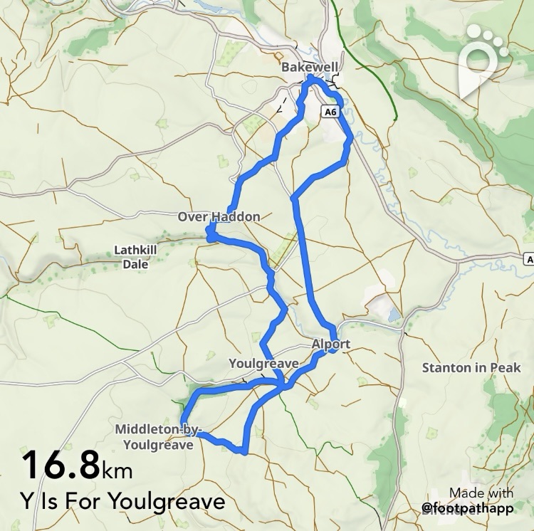
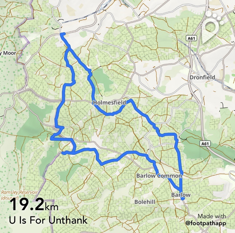
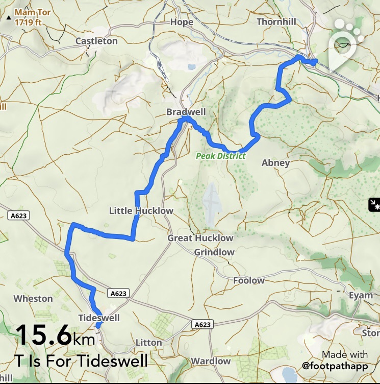
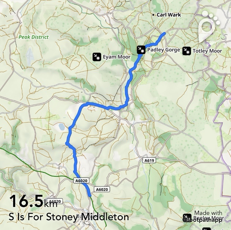
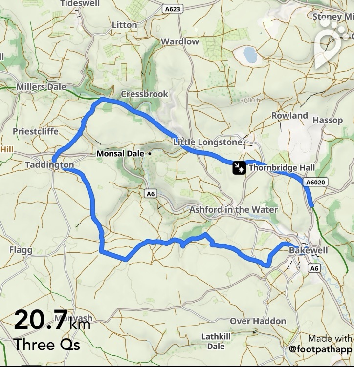
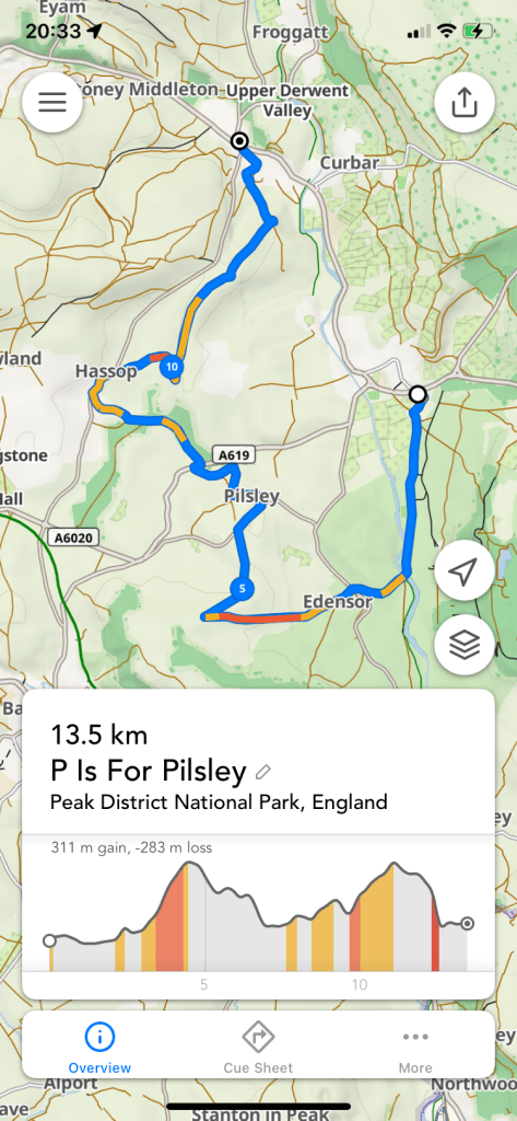
Around 22k
Route Synopsis
Bakewell- Over Haddon- Lathkill Dale- Youlgreave- Bradford Dale- Youlgreave- Alport-Bakewell
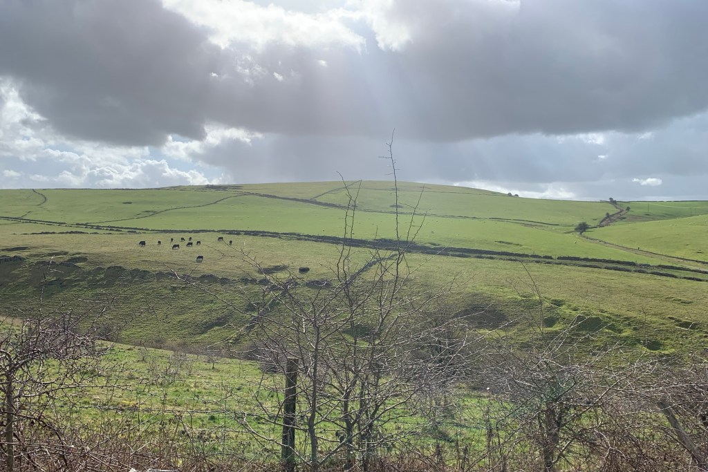
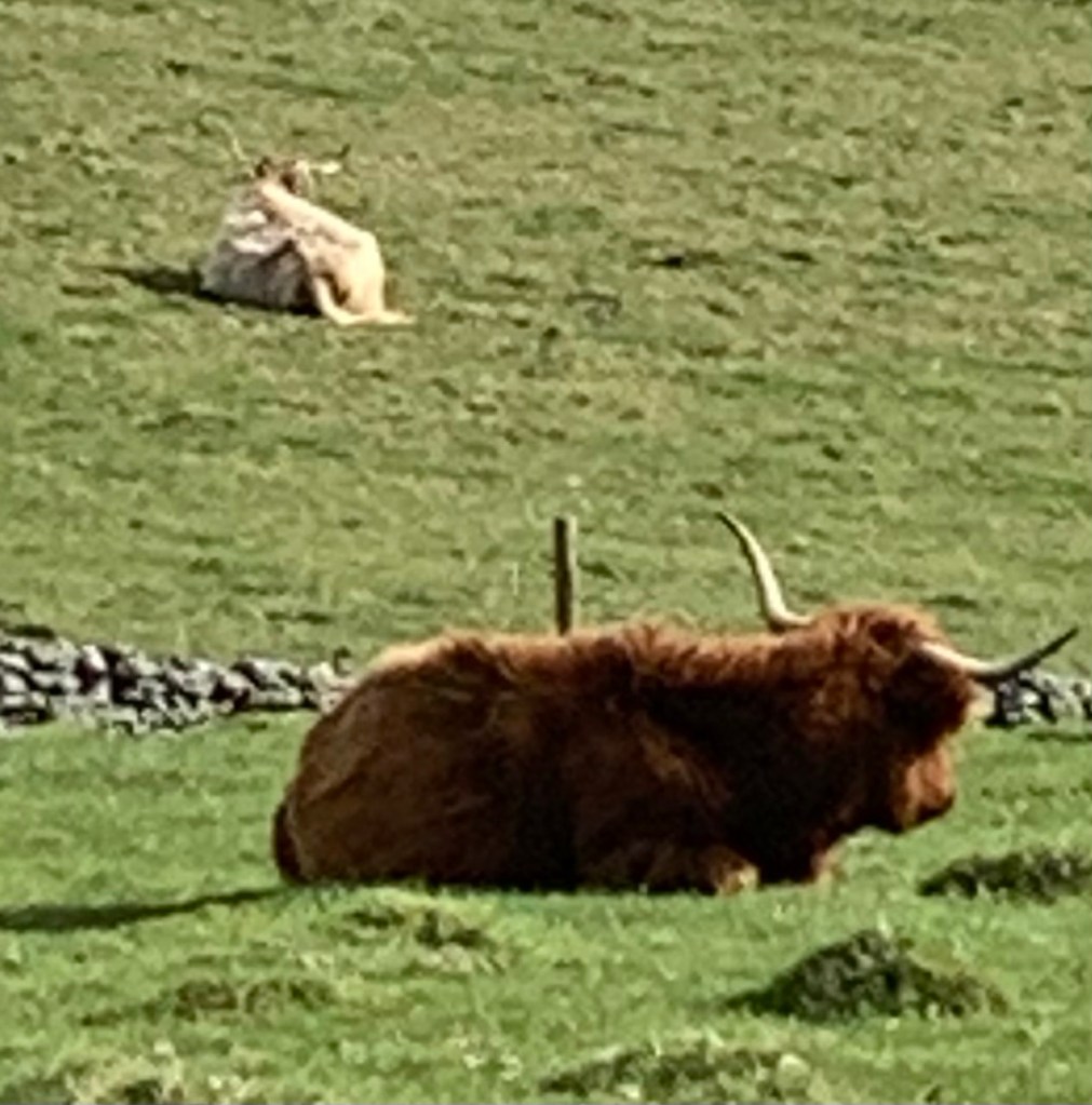
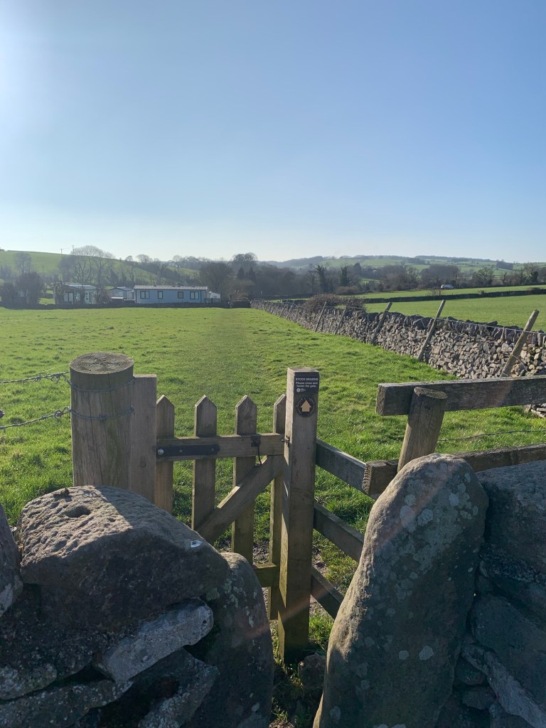
Dogs?
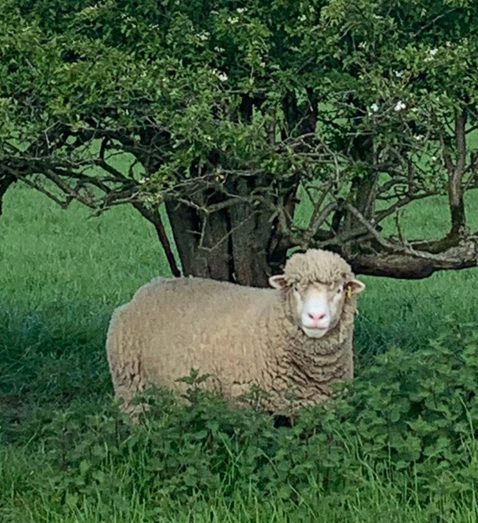
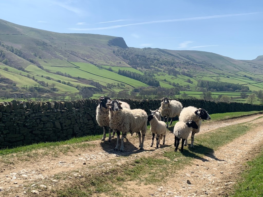
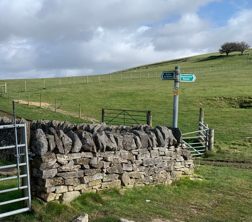
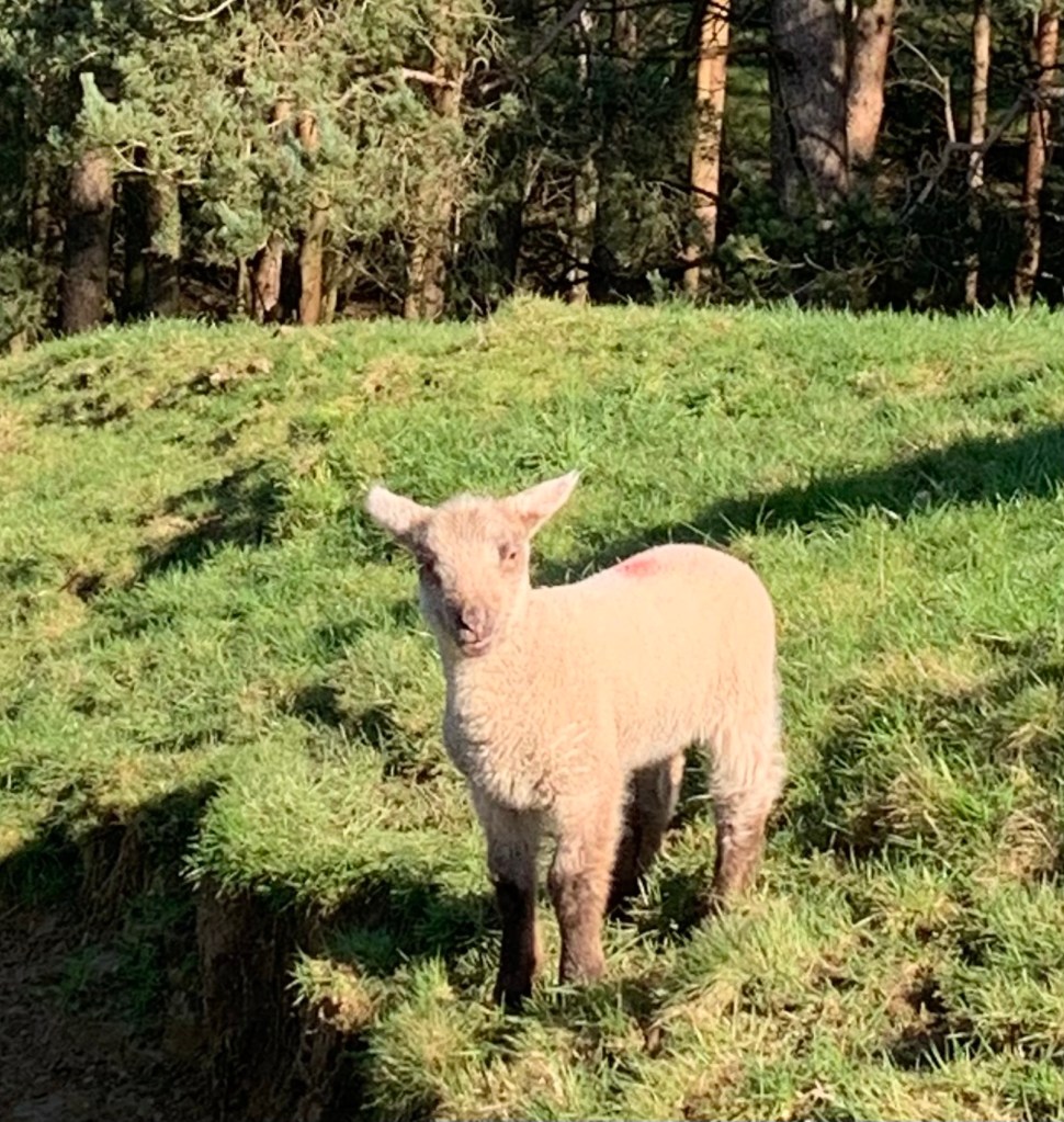
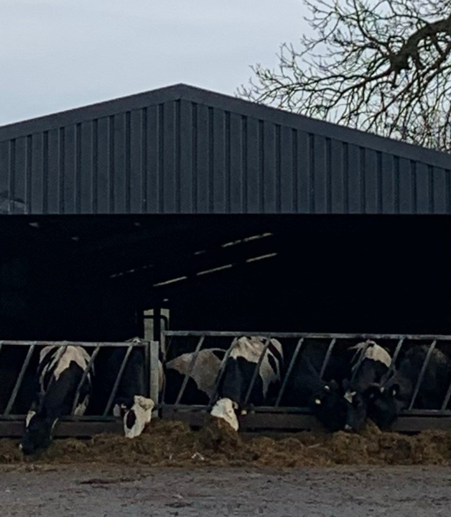
No worries on river paths and the lanes were mainly traffic free. Cows and sheep on the Portway ( could be avoided by walking up the road from Conksbury Bridge.)
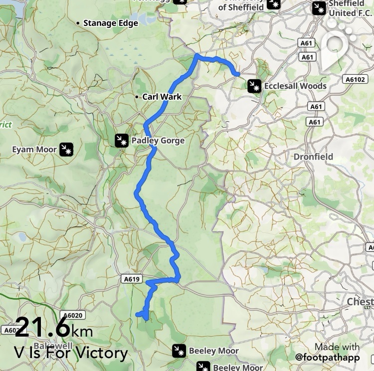
Map
OS Light Peak
https://footpathapp.com/routes/2A34A532-C966-4AC1-A4D6-A5BA2C59EE4C?units=metric