
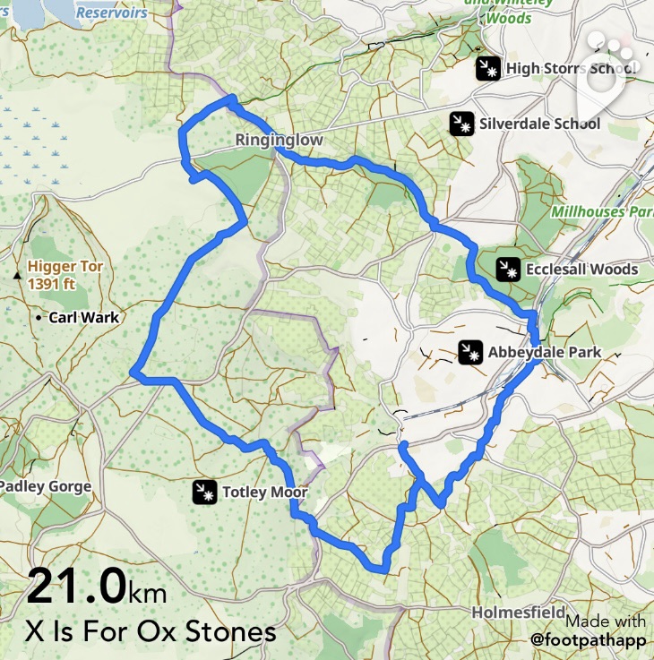
Today’s walk is a loop which could be started and finished from a variety of points and walked either in sections or in its entirety. It features Ox Stones as that’s the closest we can get to an X and it’s definitely the high point of our walk today, both geographically and scenically.
We choose to start our walk from Totley Cross Scythes ( 97 or 218 bus) and we finish several hours later at Dore and Totley Station ( train, 97, 98 or 218 bus ) but other start/finish points could include Whirlow Park on Hathersage Road ( 272, 65 or 81 bus) or, further along at Stony Ridge ( 272 or 65 bus)
We set off along Totley Hall Lane, familiar from our recent U For Unthank walk and also our further back-in-the-alphabet M for Millthorpe.
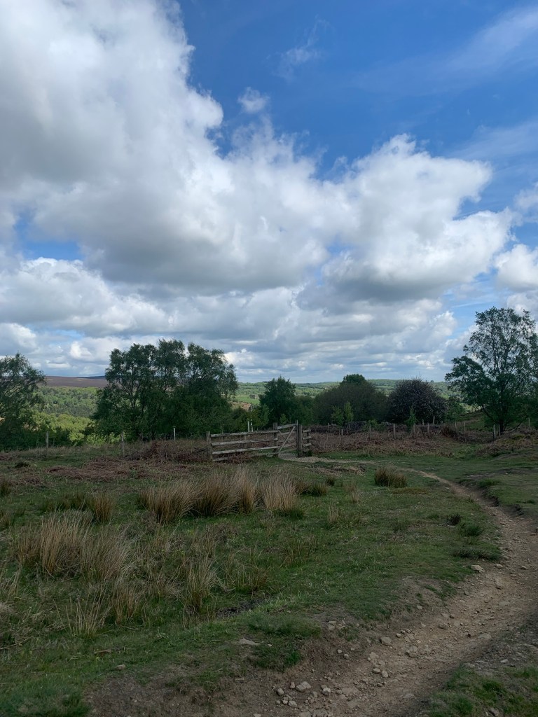
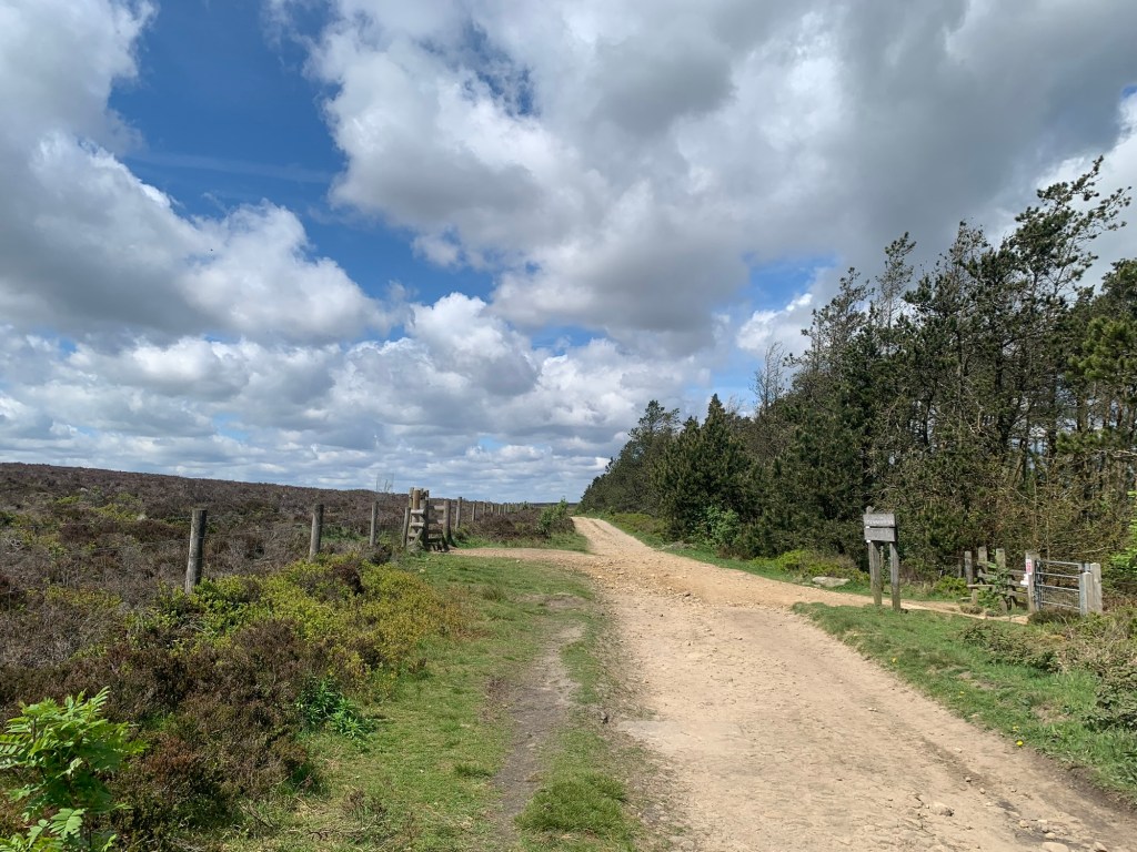
After the farm gate at the end of the lane we take the right hand track and we’re straight away enjoying the beautiful greens and blues of a fresh May morning.
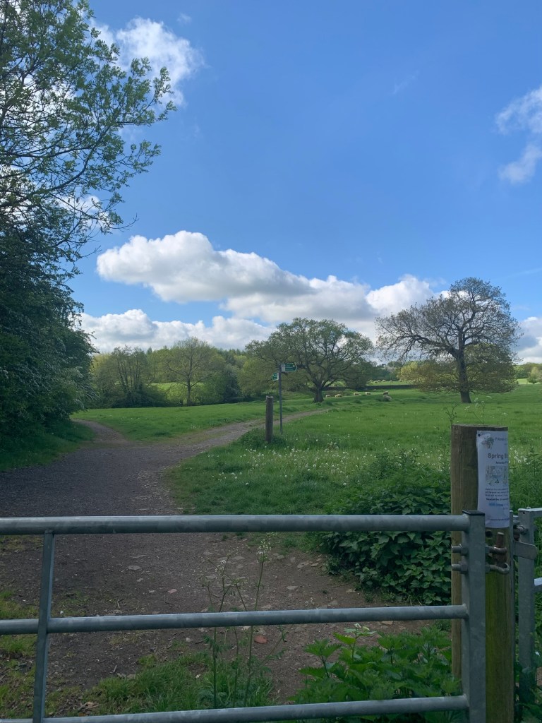
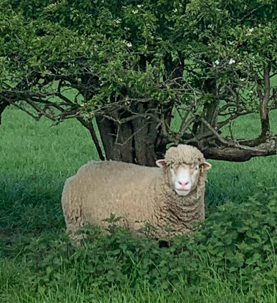
The sheep look well kept and woolly and the paths are easy to follow ( see link at the end of the post for the footpath app route…download the free app and just follow the blue blob for hassle free walking!)
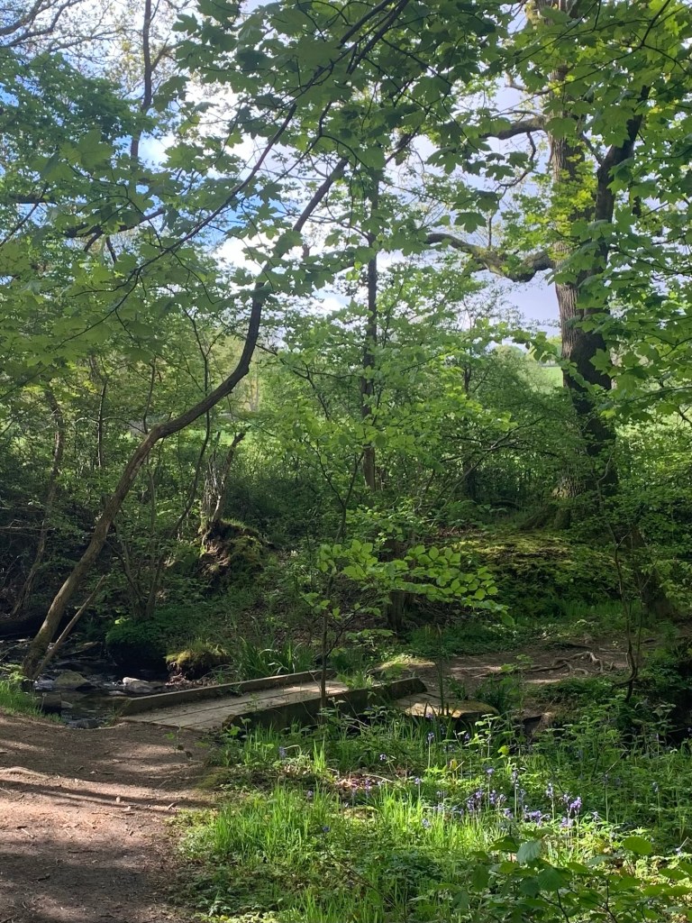
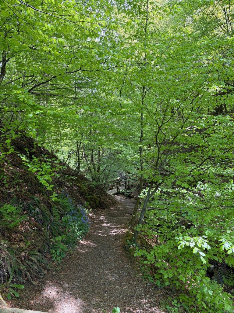
We wind our way through the pastures before heading into Gillifield Woods where it’s straight downhill through the bluebells to the footbridge over Totley Brook ( the forerunner of The Sheaf) and then up the other side.
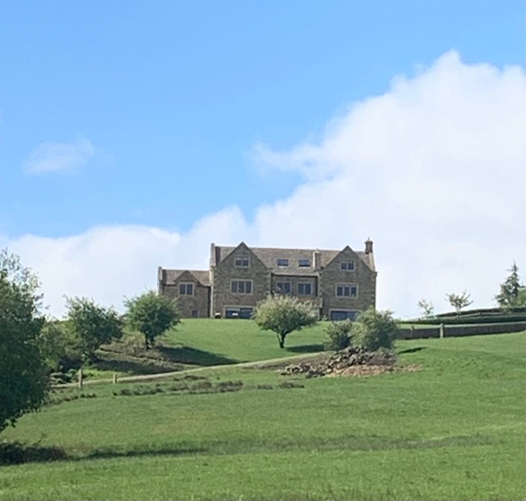
We pass through more grazing fields following the path as it skirts below the very smart looking, recently refurbished Storth House Farm and we turn right as the path joins a track.
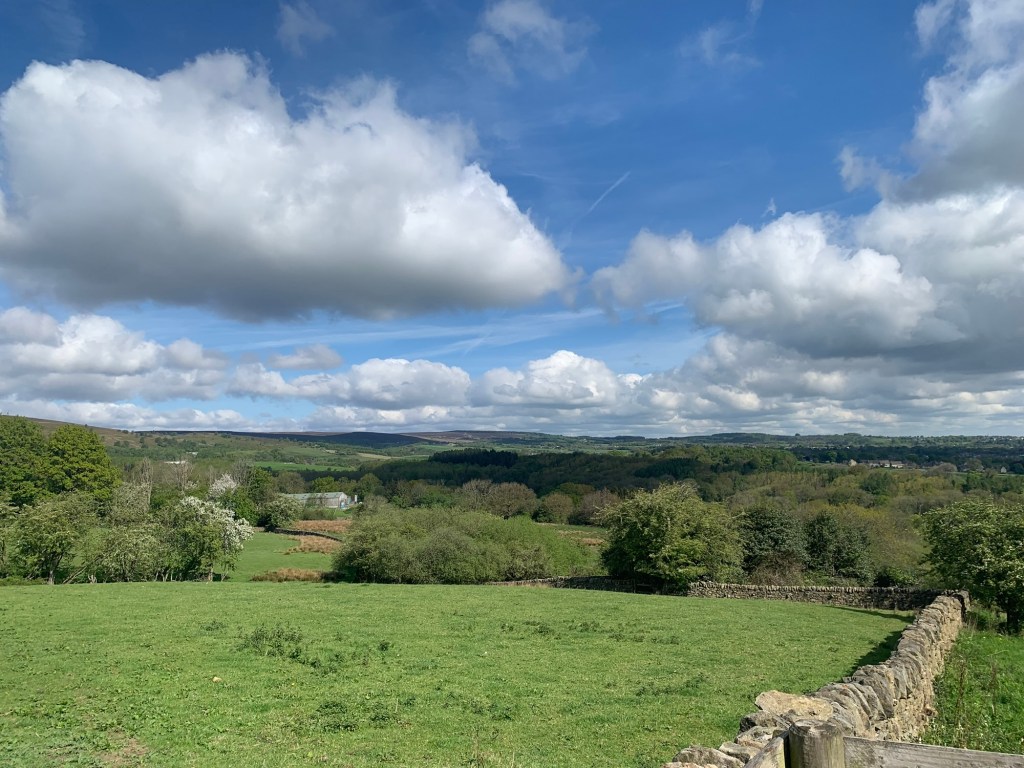
There are great views looking back down the valley of The Sheaf and towards the City and also over to the moors.
Our track contours on towards the right and we pass a little ornamental duck pond before emerging onto Moorwood Lane.
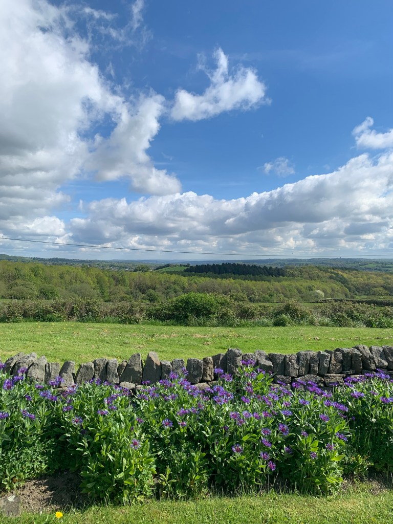
Continuing right along the lane which is very peaceful today we soon reach the T junction with the main Owler Bar road. The views are getting more magnificent every minute.
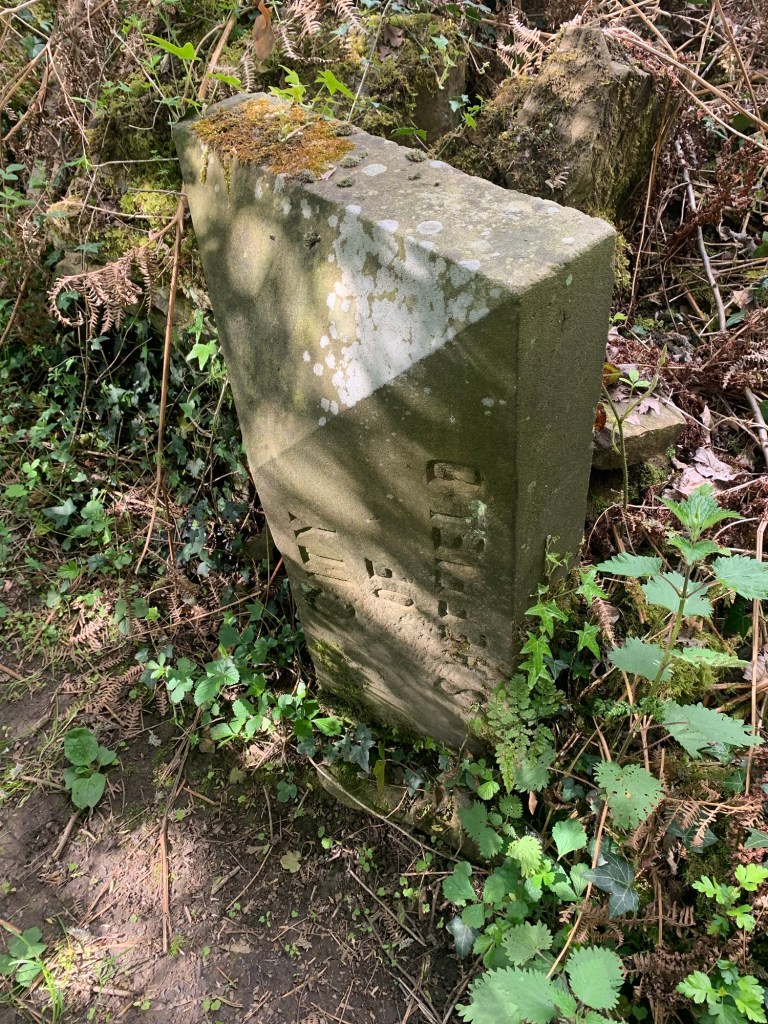
After briefly heading right along the grass verge of the main road to where there’s a farm gate we make a dash to the other side of this busy road and get straight onto the footpath which leads uphill through the trees. But before we start to climb up the pathway we have a quick scrimmage around in the undergrowth to our left and find the boundary stone which marks the border between Derbyshire and the City of Sheffield.
This path through the trees is often a muddy scramble but today it’s bone dry and we’re soon through the gate and heading right, on an easy track across open country, contouring along the side of Totley Moor. Once again the views are really rewarding. We can even see over to Lady Cannings plantation and the line of the path we’ll be following later over Houndkirk Moor is clearly visible.
As the track nears the Moss Road ( the track that’s the continuation of the road that climbs up from near Totley Bents cricket field) our way takes us straight ahead and through a gate.
The path narrows as it winds around the side of the hill. It’s interesting to see that it’s called the Monk’s Path on the Footpath Map, most likely due to the monks of Beauchief Abbey having farmed here centuries ago.
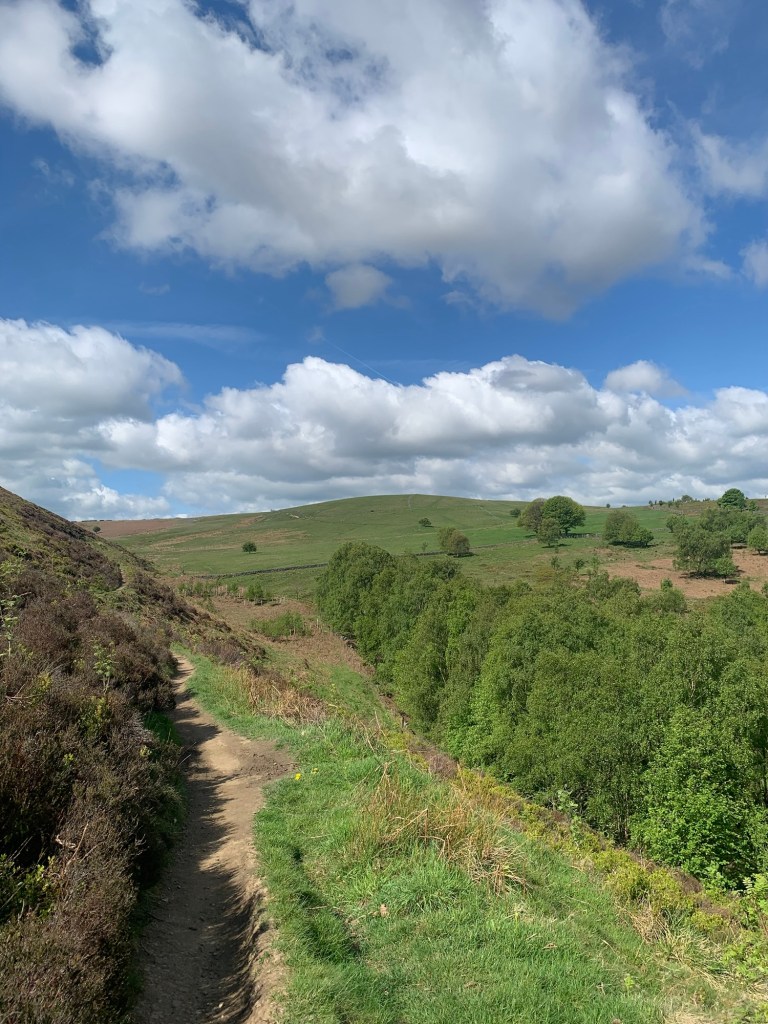
The path drops down to a footbridge over a stream known as Black Dike after which we cross more open grazing land with the top of Blacka Moor above us over to the left.
After a gate the path becomes a track and finally gives onto the small car parking area just off the Hathersage Road near the junction with Stony Ridge.
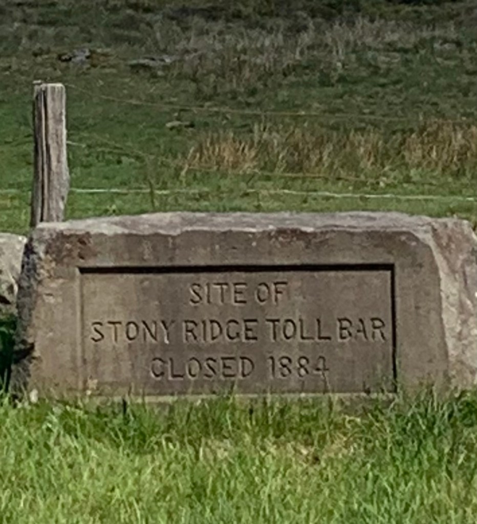
There used to be a toll gate on the main road here when it was the main turnpike road. The road was opened as a replacement for the Houndkirk Moor road which we already spotted earlier and will be shortly be joining.
Nowadays there’s just a stone memorial to mark the spot where the toll house once stood.
We cross Stony Ridge Road and shortly after we then cross the main road to where a footpath sign helps us cut off a corner and delivers us onto the track to Parson House Farm.
We turn right and follow the aforementioned track across Houndkirk Moor. Often known as a Roman Road although with little evidence, this was almost certainly a major packhorse route before the newer turnpike road was built.
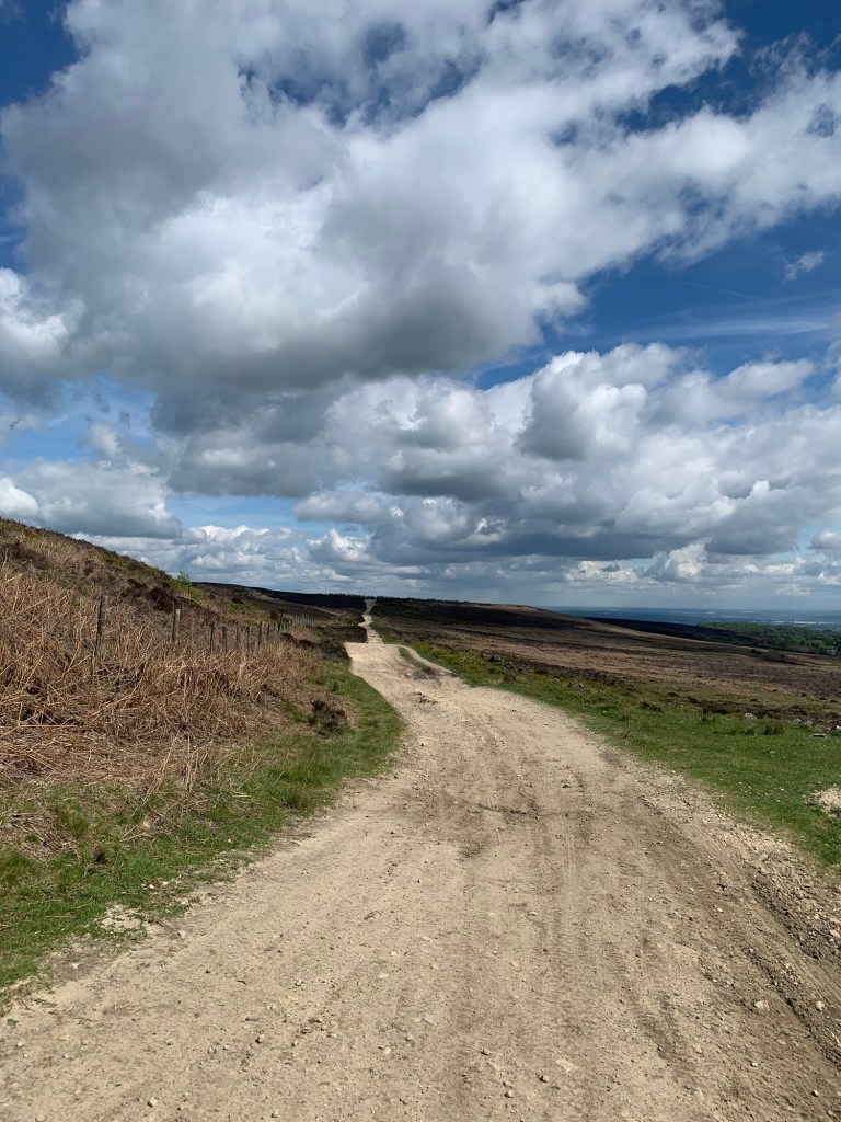
A really interesting feature is the Second World War decoy site which was set up partway along the road although I can’t help but wonder how much, if at all, it helped to avoid the bombing of Sheffield.
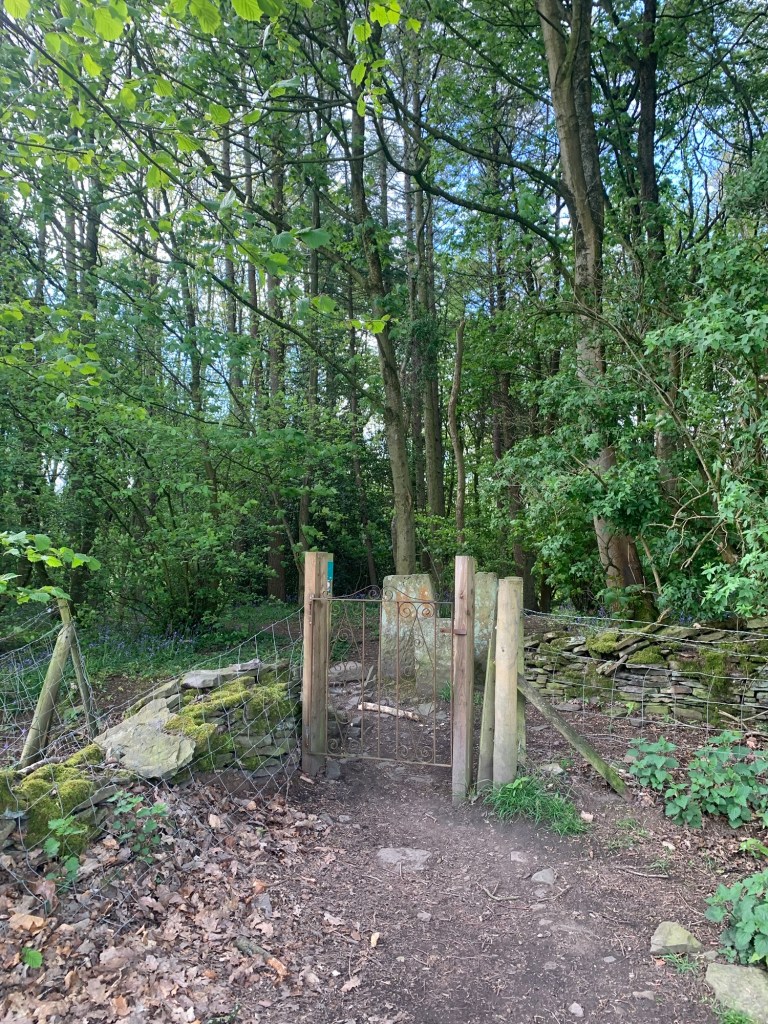
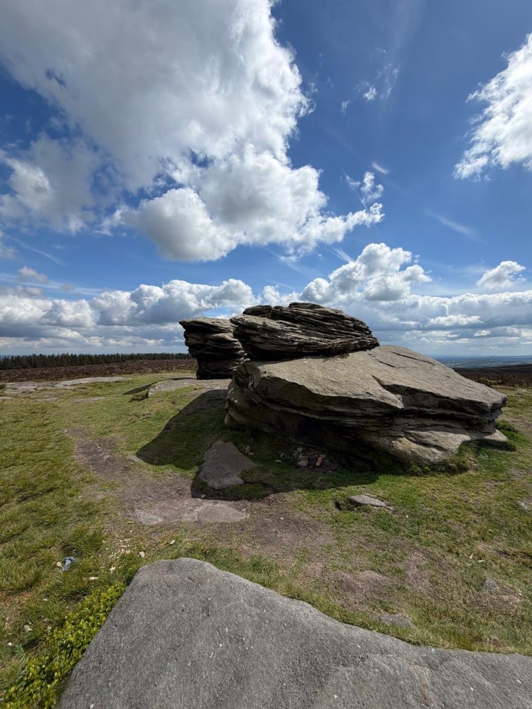
Just before the main track reaches the trees of Lady Cannings there’s a left turn that takes us over the moor and then when we’re directly opposite the main footpath out of the plantation we turn left again over a stile and head for the stones that are the destination for the day’s walk.
There are a lot of weathered gritstone outcrops in the Peak District and indeed we have visited quite a few of them on these alphabet walks. However I do think that these are particularly special especially on a beautiful day such as today.
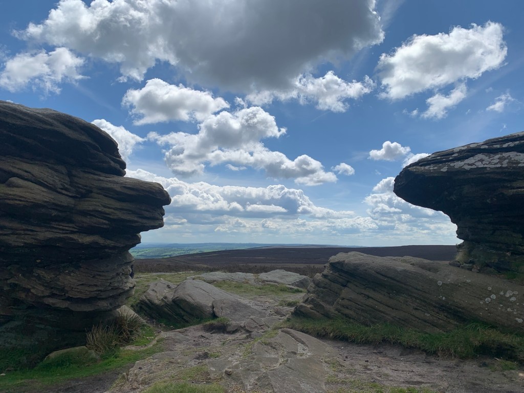
Having soaked up the special atmosphere of the place and tried to capture it in our photos we say goodbye to the Ox Stones and retrace our steps for a few minutes before striking left over to the gate which gives onto the Ringinglow Road.
We cross straight over and continue along the path up to the lumpy summit of Ringinglow with its remains of quarrying and ganister mines and at the marker post with a white arrow pointing straight ahead we veer off right and drop down to a stile after which, the path slopes down to cross a stream (actually the very infant River Porter). The path meets Fulwood Lane and we follow along here to the right before detouring into the top of the Porter Valley path
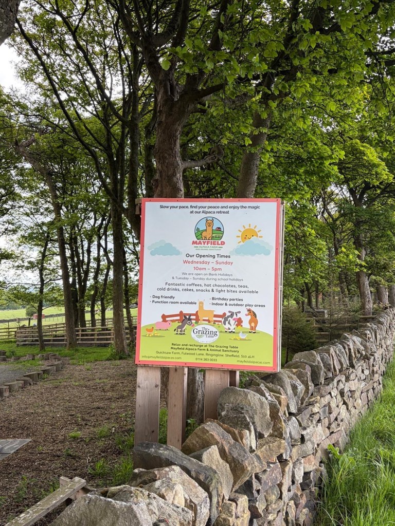
and then back up the other side through the car park and back onto the road. We are heading for the Alpaca Farm where we take a break for a splendidly large pot of tea and a toasted sandwich.
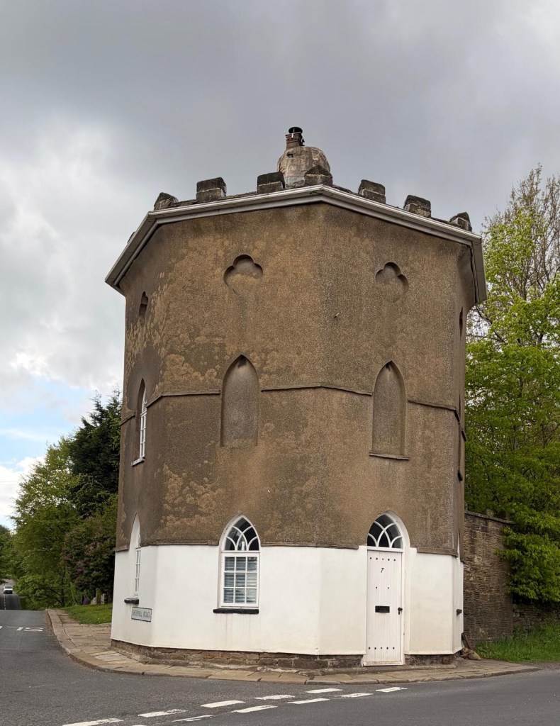
Once refreshed we continue along Fullwood Lane turning left at the T junction until we’re level with the Norfolk Arms. Here we cross over onto Sheephill Road past the octagonal building which was once, wait for it….yes another toll house and we’re soon on a familiar path down the Limb Valley through Whirlow Park.
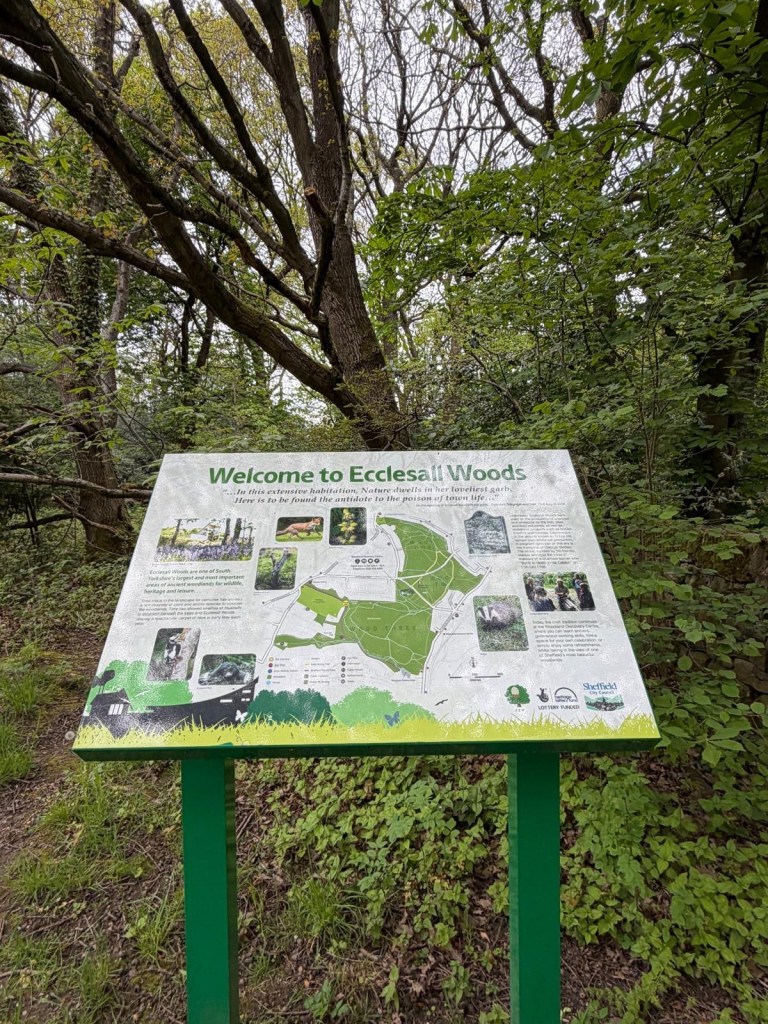
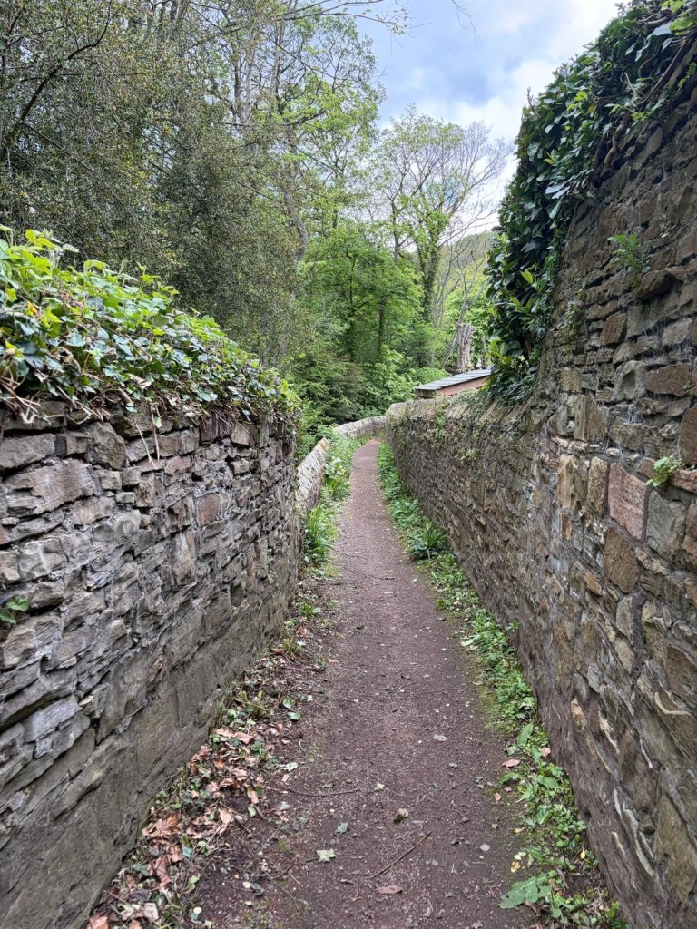
Emerging onto the Hathersage Road we cross straight over and follow the Sheffield Round Walk route through Ecclesall Woods
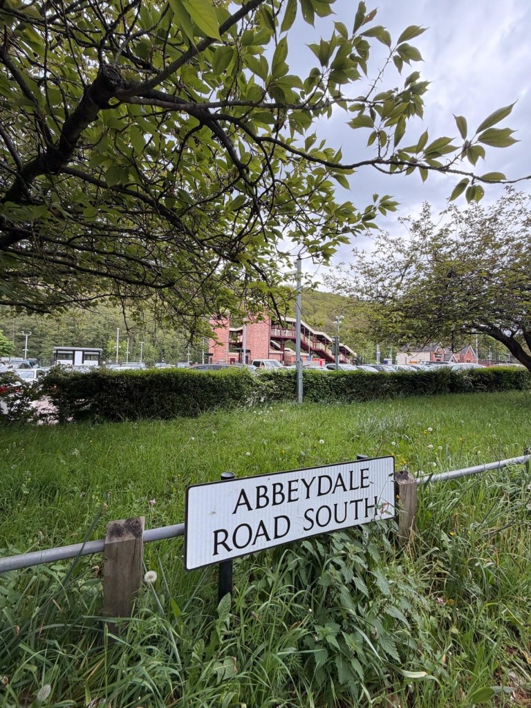
And out onto Abbeydale Road South
At this point we make an unscheduled stop at the SummerHouse, mainly because we need the loo, but we feel obliged to buy a drink and one thing leading to another we decide that this is quite a good place from which to make for home ( trains from Dore and Totley station right next door or over the road for the 98, 97 or 218 bus).
To continue and complete the loop we would have walked through the station car park and past Rajdhani Restaurant along the footpath onto the bottom of Twentywell Lane. Once over the railway bridge the footpath is on the right hand side of the road and climbs upwards into Poynton Woods. Once the climb is over, the path contours to the right and eventually the route brings you to the Shepley Spitfire on Mickley Lane. To the left of the pub is the path you’ll need to follow briefly until opposite the entrance to some allotments it’s necessary to turn right downhill steeply to cross the Totley Brook and then it’s left along the river path all the way back to Gillifield Woods and the starting point at Totley. This continuation is marked in full on the accompanying map.
See you again soon for Y ( we’re getting very near the end!)
https://footpathapp.com/routes/27F7F3EC-B067-49A3-8FEA-3DA060C63CCD?units=metric
Transport
97 to /from Totley Cross Scythes
( other options include Hope Valley train or 97,98 or 218 to Dore & Totley station, or 81, 65 or 272 to Whirlow Park)
Pubs/Cafes
Mayfield Alpacas cafe
Norfolk Arms
The Shelter Cafe
The Summer House
Shepley Spitfire
Totley Cross Scythes
How far?
Around 22k for the whole loop
Route Synopsis
Totley Cross Scythes- Gillifield Woods-Storth Hall Farm- Moorwood Road- Totley Moor-Stony Ridge- Houndkirk Moor-Ox Stones-Ringinglow-Mayfield Alpacas-Norfolk Arms-Whirlow Park-Abbeydale Road- Poynton wood- Mickley Lane- Gillifield Woods- Totley.
Dogs?
Expect sheep on grazing land so keep your lead handy. Possibility of highland cattle on Houndkirk Moor.
Map
OS Dark Peak and Light Peak

Leave a comment