No, we’re not referring to a (somewhat out-of -character) recent result for a certain local football team we support…..no we’re talking about Nelson’s flagship, HMS Victory!
So read on for more nautical details but first let’s get on with the walk.
Having alighted from the 218 at the Chatsworth House car park
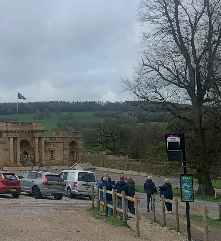
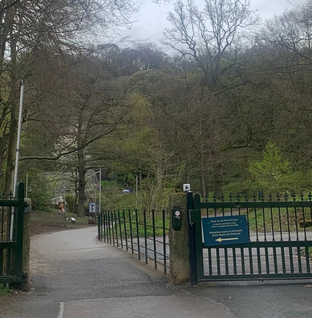
we make our way up through the parked cars towards the entrance to the farmyard and playground but then head right, through the gate signed for Stand Wood.
Apparently most of this woodland was first planted in the 18th century following a desire by the Devonshires to obscure the view of the gritstone edges which make their southern-most appearances on the hillsides behind the house.
The Gritstone Edges are an outstanding geological feature of the Peak District formed over millennia by softer shales eroding and leaving the harder Millstone Grit exposed either as outcrops or longer “edges” which apart from being part and parcel of the amazing Peakland scenery are also a Mecca for rock climbing.
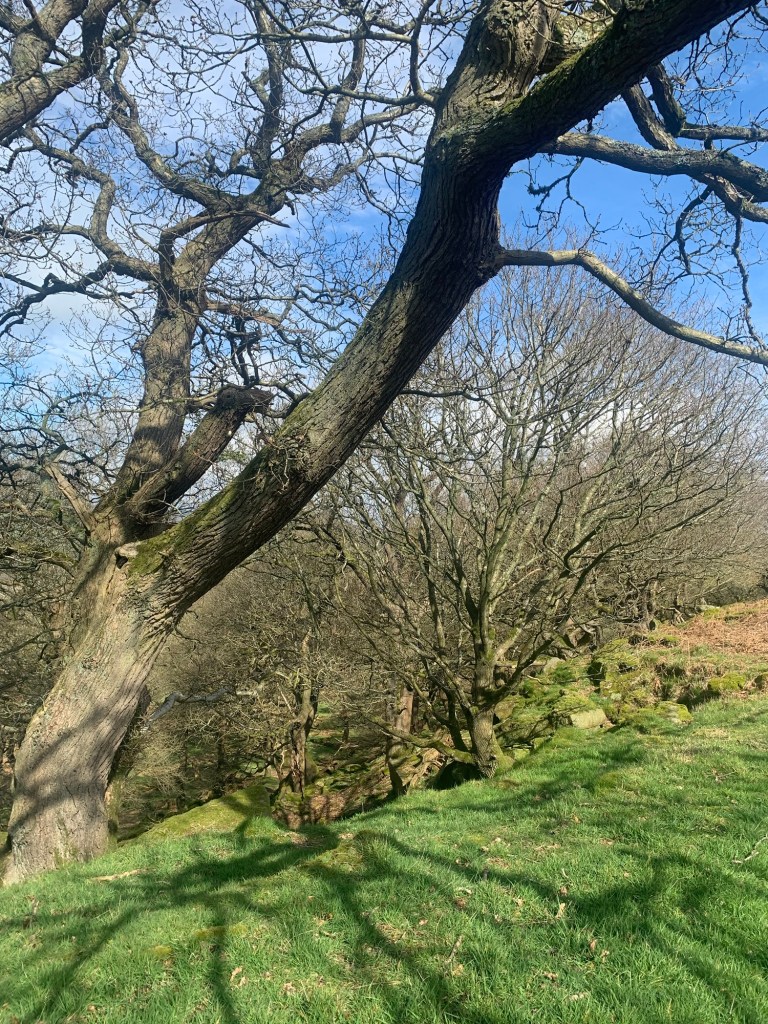
As we gain height through Stand Wood we notice a number of fascinating and very ancient looking trees and on further investigation it seems there was medieval woodland here well before Joseph Paxton came along to plant and sculpt the landscape for the Devonshires.
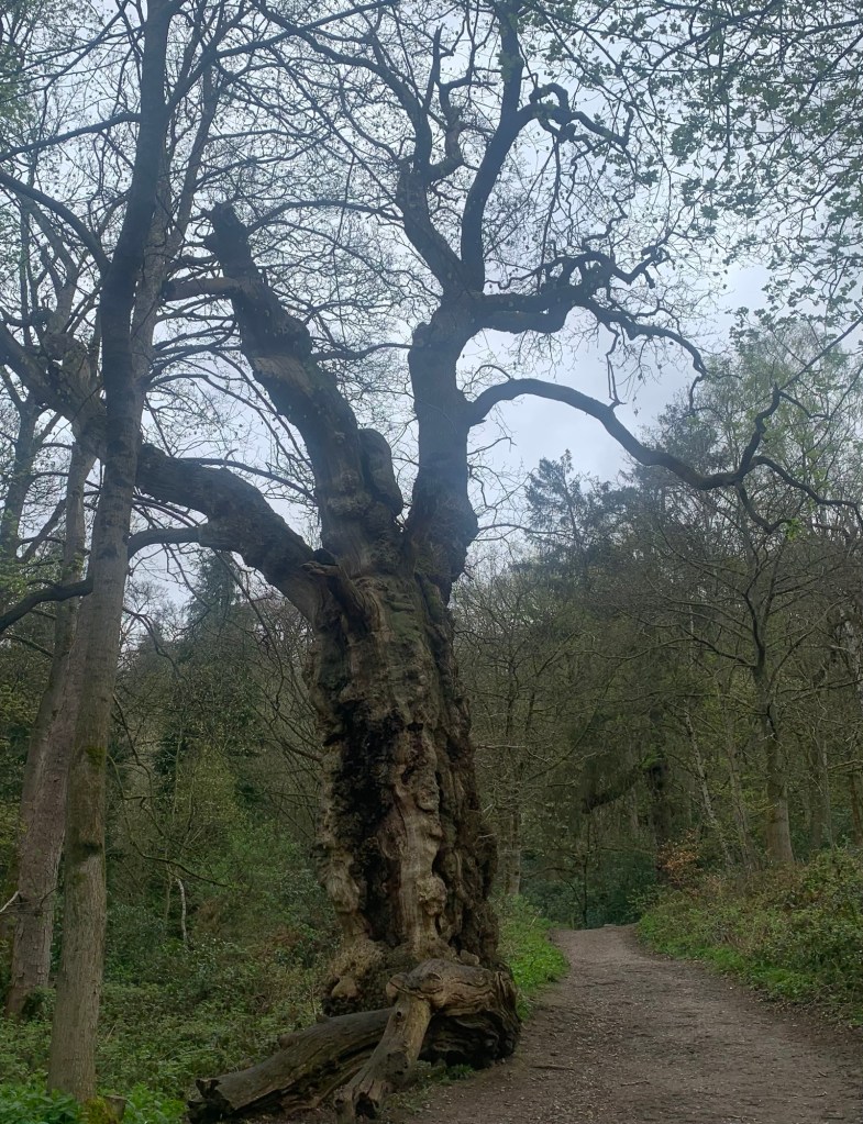
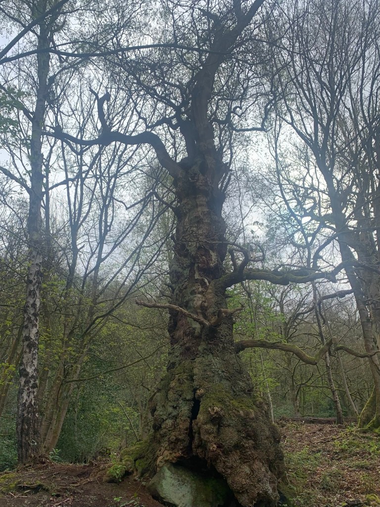
It’s all very atmospheric in an enchanted woodland kind of way and has a very different feel to the parkland which makes up the majority of the Chatsworth estate.
We are heading for the Hunting Tower, originally built for Bess of Hardwick in 1583 (just thirty years after the house itself was initially created for her,) but as to how we actually arrive here, it’s really all been a bit of guesswork as there are so many paths and tracks through the trees!
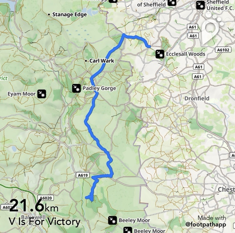
I’ve shown one possible route on the footpath map (see end of this post) but quite frankly, any way that works to get you to the Hunting Tower is going to be fine, and interesting too.
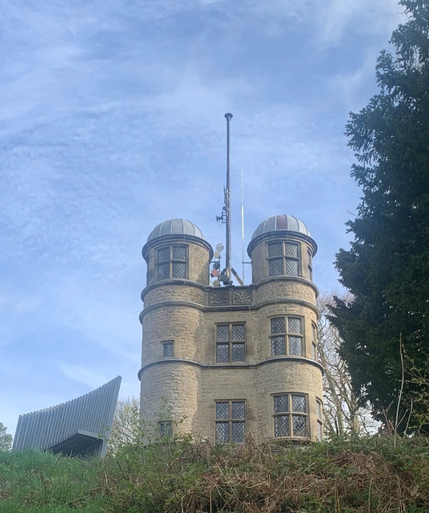
We skirt around below the Tower ( which looks like it’s out of a stage set for Rapunzel but is now evidently a holiday let) until we’re gradually level with it and then we continue along to the left where we start to enjoy splendid glimpses of views over towards Great Longstone Edge and beyond; we even spot The Barrel Inn above Eyam.
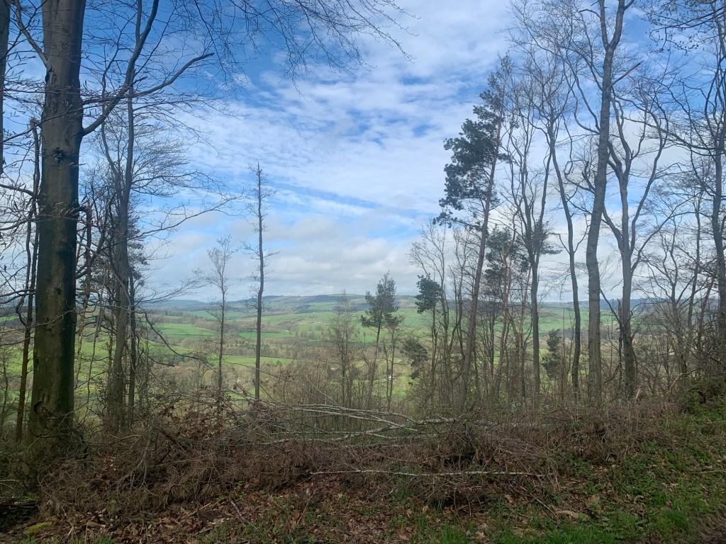
We feel very lucky since in a few months time none of this will be visible once all the foliage is on the trees (and the blue skies are definitely a bonus).
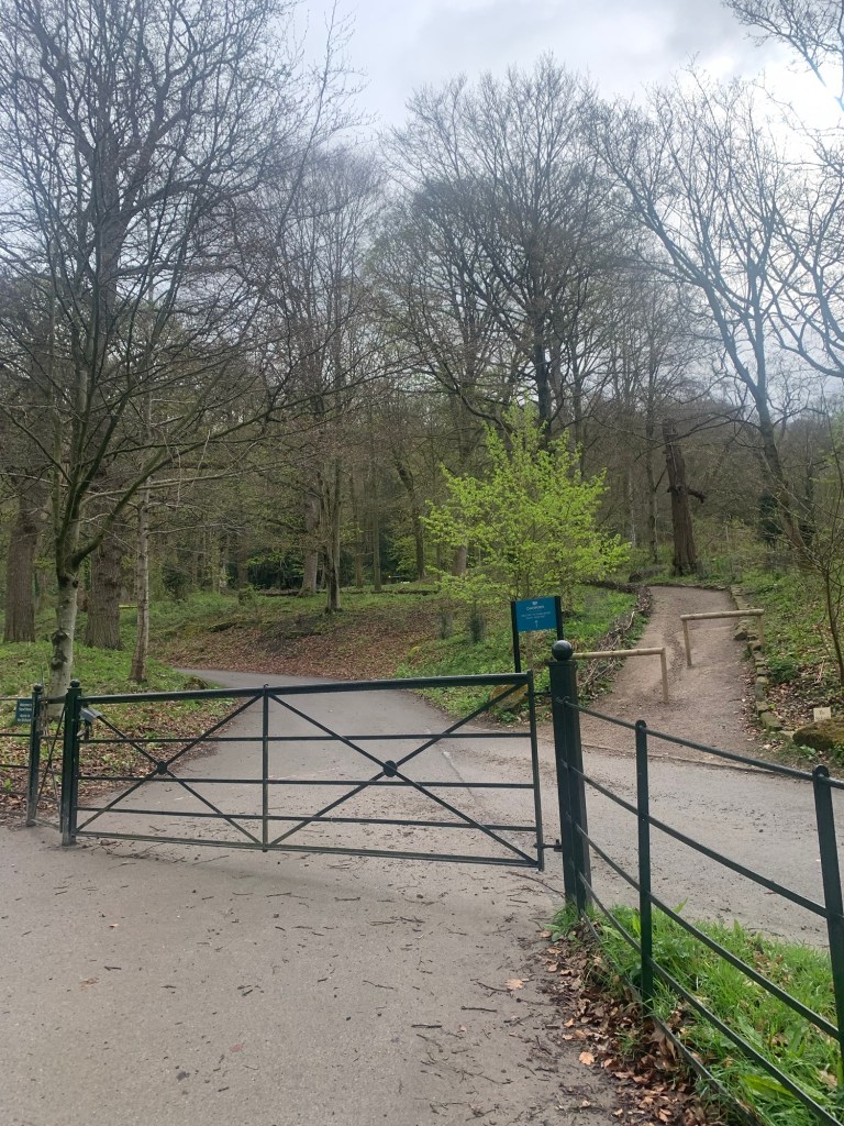
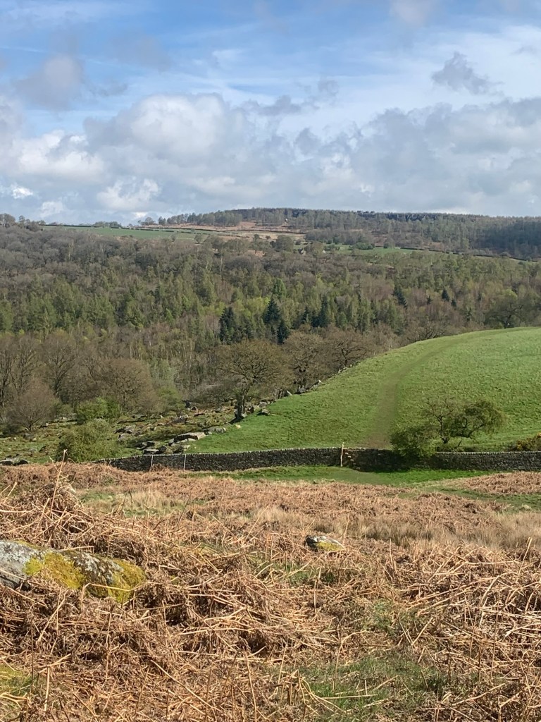
We are soon out of Stand Wood altogether and, at a locked gate we follow the path alongside the wall to the left, climbing a vertiginous stile and descending into more varied vegetation and (maybe?)the inklings of a gritstone escarpment.
For a few minutes we follow along the top of this very pretty, fairy glen like, “mini-edge” which we think might be the beginning of Dobb Edge, before heading back across to the main path nearer the wall.
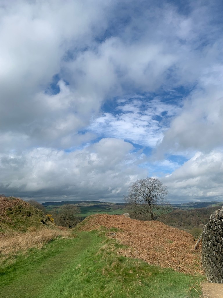
Ahead we think we can see the line of the continuation of the edge
but just as we’re over the next huge stile and about to explore further, we meet around twenty highland cattle running straight towards us and so we beat a rapid retreat, just getting back over to the safe side of the stile in the nick of time.
This causes a brief recalculation of the route as there’s no way we’re going back over there!
It’s a bit of a detour but, instead, we follow a lovely section of path downhill to the left
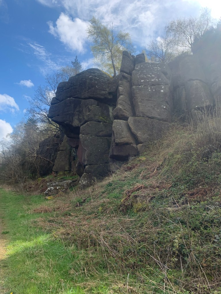
and then after branching off to the right ( and over yet another huge stile) we now follow a pleasant track and actually get to walk past the most prominent part of Chatsworth Edge where most of the climbing happens and which we would have otherwise missed out on.
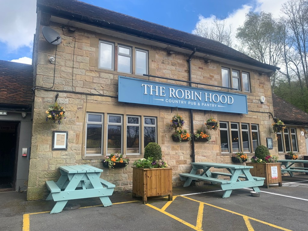
Just past the crags we head off left down a muddy bank to a bridge that takes us over Heathy Lea Brook and then follow steps up the other side onto the A619. We cross the road and continue on the pavement to the right, passing the Eric Byne Memorial Campsite and, hey presto, next thing you know, we’ve arrived at The Robin Hood pub and by total coincidence, just at opening time.
After quick and very enjoyable refreshments we continue to our next Edge, Birchen Edge, and hopefully to the main point of today’s walk.
The path to Birchen Edge starts just up the B6050 road from the pub, off to the left just past a B&B.
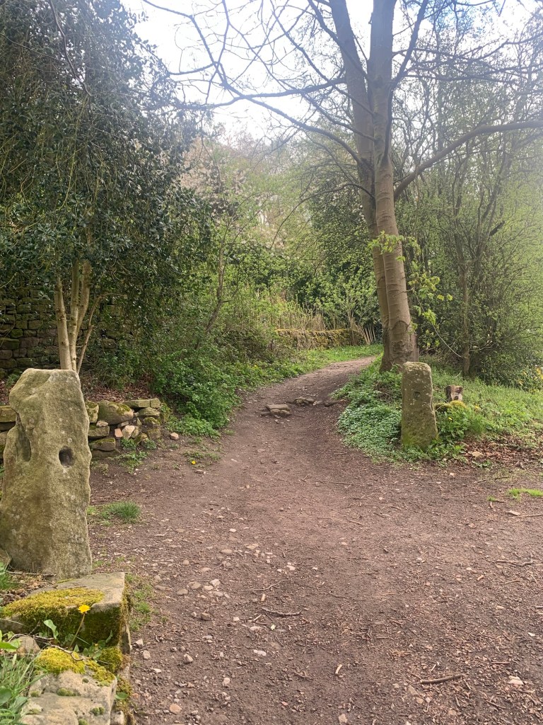
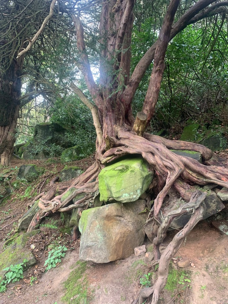
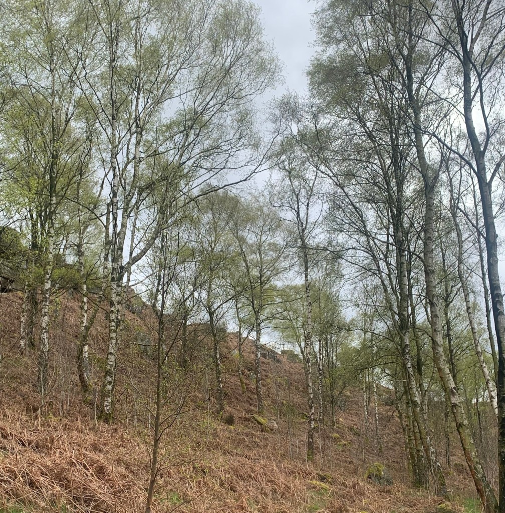
It’s another delightful path through the trees, this time it’s the typical sort of birch tree and mossy boulders type of thing and we soon spot the edge itself and indeed a climber who’s about to ascend it.
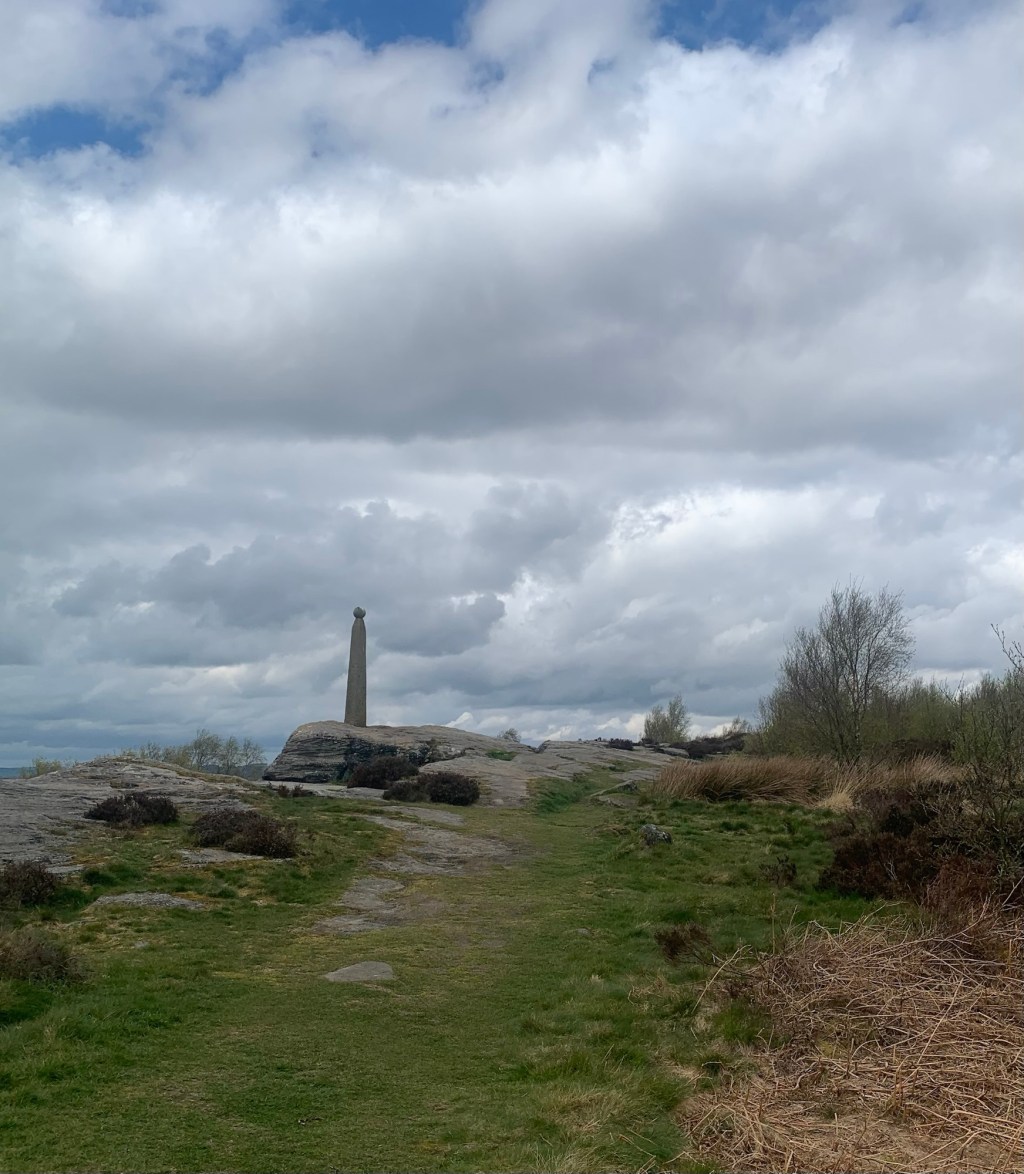
We realise that we probably didn’t spot a path to our right which would have taken us up to the eastern end of the edge but having passed beneath Nelson’s monument
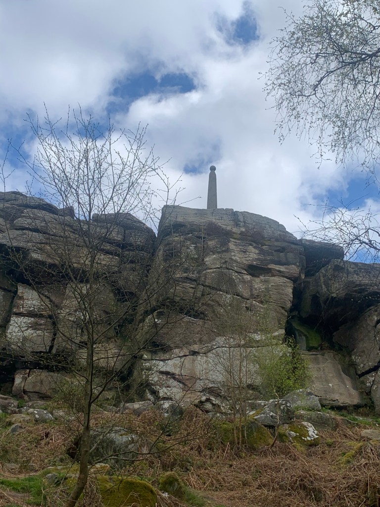
we eventually find a way to scramble up onto the top of the edge and then back track along the top to get a closer look at the Peak District’s answer to Nelson’s Column.
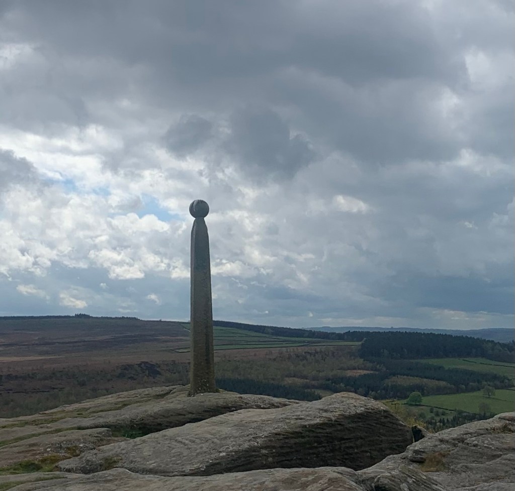
The monument was erected by a local businessman from Baslow five years after Nelson’s 1805 victory at the Battle of Trafalgar.
Nelson’s dramatic death just at the moment of success in battle helped establish a “tragic hero” image for this sea lord in the popular imagination of the time and this gave rise to numerous monuments and memorials all around the country, but it’s interesting to note that Derbyshire’s monument predates the London one by a good 30 years.
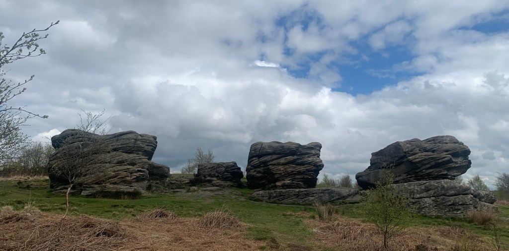
Behind the monument however, is what we’ve really come to see.
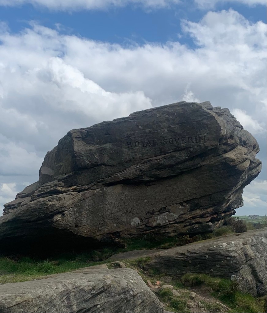
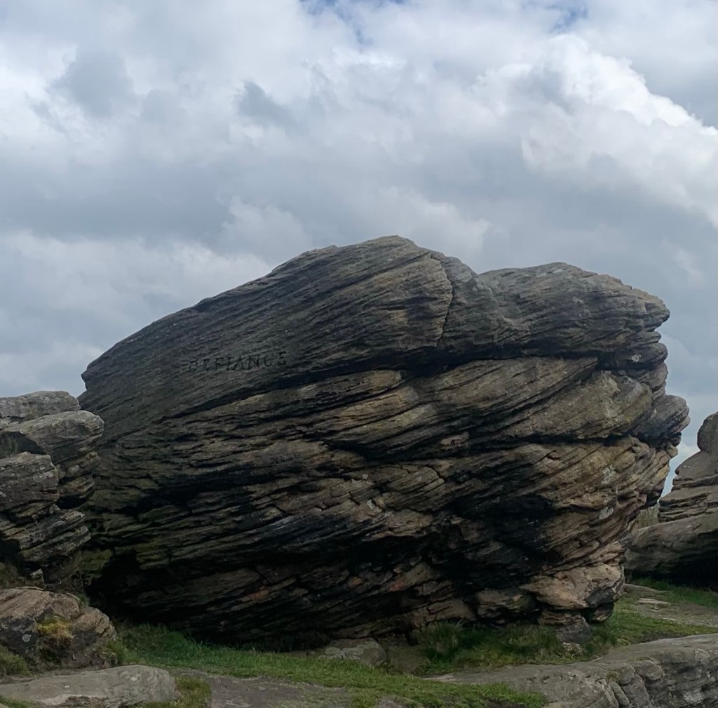
The same guy who masterminded the monument, a certain John Brightman, is also credited with carving the names of three of Nelson’s flagships from the Battle of Trafalgar onto three large gritstone outcrops which stand just back from the edge itself.
There’s Royal Soverin ( sic)
Defiance
most crucially for us Victory.
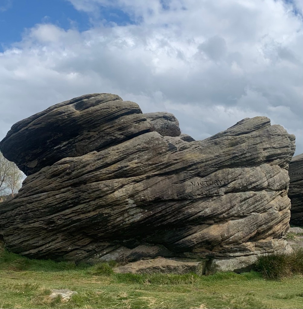
And with a stretch of the imagination from a certain angle, they could actually possibly resemble the prows of sailing ships of Nelson’s time.
We wonder if Mr Brightman was a seafaring type with particular links to Trafalgar but whether or not, we definitely owe him one for giving us an excellent V for our alphabet!
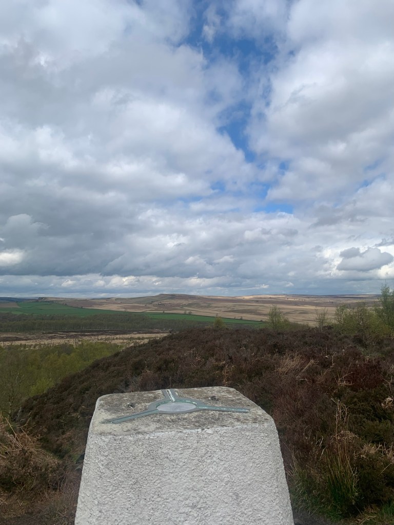
We retrace our steps along the top of the edge and past the trig point
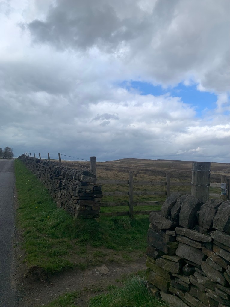
and then follow the path as it gradually descends across the moor to bring us out at the Clodhall Lane crossroads with the main A621.
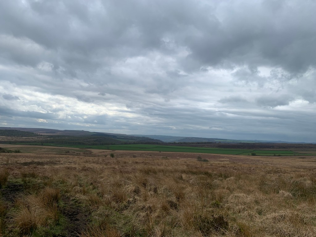
Once more we appreciate our good fortune in that we’re crossing this moor after a relatively dry spell because it’s quite evidently often something of a quagmire.
Having crossed the main road we continue briefly along the lane towards Curbar Gap but after a few metres we take the open moorland path on our right
which slowly climbs up to take us onto White Edge.
The scenery and the weather has changed at the same time and we have exchanged pretty woodland and grassy paths with blue skies for much bleaker moorland and a threatening greyness overhead.
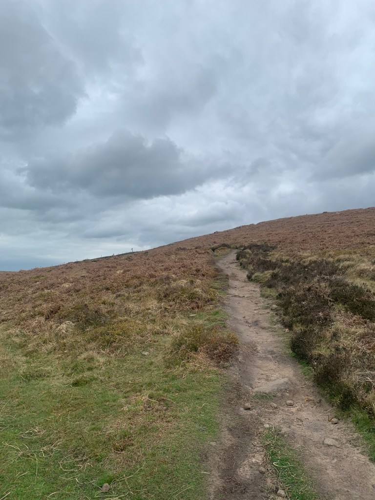
The wind is getting up too, but it’s behind us so we’re not going to complain about that.
We’ve made it past the trig point on White Edge
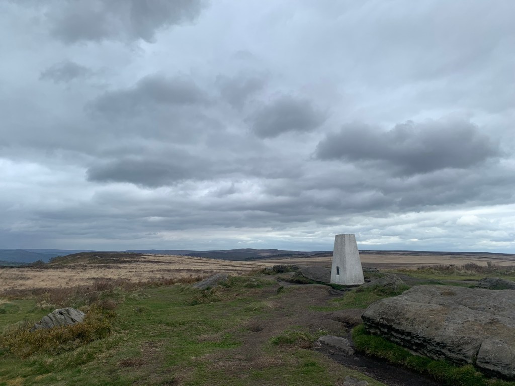
when, on glancing behind at the view, we notice a bank of greyness heading towards us which a few minutes later makes itself felt on our backs as an icy April shower. Progressing along the top of the edge ( but without so much enthusiasm regarding the rocky gritstone scenery now that we’re getting wet) visibility below us still extends as far as The Grouse Inn. We consider taking the next path down but decide to continue along the higher path which leads us to the T junction of the A625 and the B6054 just near the entrance to Longshaw estate and the Wooden Pole.
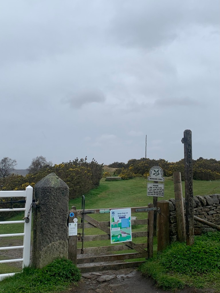
Scurrying along the grassy Longshaw path we soon arrive at the Longshaw cafe dripping wet and ready for a hot drink and a little something.
The cafe, renowned for its views on a good day with its big picture windows is only showing us raindrops now, so out comes the phone and the bus App and we decide to time our tea and cake to fit in with the next 272 from Fox House back to Sheffield and the minimum wait at the bus stop.
The original idea, which I will mark on the footpath map as it’s definitely a good one to consider in dryer conditions, was to have continued the walk over the Houndkirk Moor track and then drop down through Whirlow Park to pick up the bus at Hathersage Road.
However we’ve had a very enjoyable and interesting day out and are happy to call it a day at Fox House, especially as when we board the 272 we find it has the heating on!
Not far off the end of the alphabet now and we have a few good ideas for W as we warm up on our journey home, so see you next week, and best wishes for your own Peakland walks from Ann and Jan.
Transport
218 Bus from Sheffield to Chatsworth House ( make sure it goes to Chatsworth before Bakewell as this shortens the journey time.)
272 or 65 from Fox House back to Sheffield and/or 81 from Whirlow if you follow the extended route.
Pubs/Cafes
The Robin Hood, Baslow
The Grouse, Froggatt ( amended route required)
Longshaw cafe
Fox House
How far?
Around 20-25k depending on options taken
Route Synopsis
Chatsworth House car park- Stand Wood- Hunting Tower-Dobb Edge-Chatsworth Edge-Robin Hood- Birchen Edge-Clodhall Lane crossroads-White Moor- Longshaw- Fox House- ( Houndkirk Moor Road- Whirlow Park- Hathersage Road)
Dogs?
There are some very high step stiles in the early part of the walk and we had an issue with cattle today but the section from the Robin Hood onwards the walk is mainly on open moorland and so more suitable although of course you would need to keep an eye open for deer, sheep and cows as always.
Map
OS White Peak
https://footpathapp.com/routes/67EB5F1D-8E95-4229-87E4-34C6DAB4C412?units=metric

Leave a comment