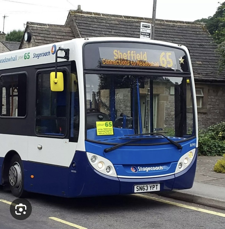
Today’s walk has the added excitement of an infrequent bus service for the journey back home, so do time your walk accordingly in order to avoid an unplanned night out in the Peak!
There’s also every likelihood of encountering livestock en route so it’s probably not an appropriate walk for dog walking or anyone nervous of cows or horses.
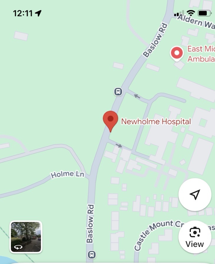
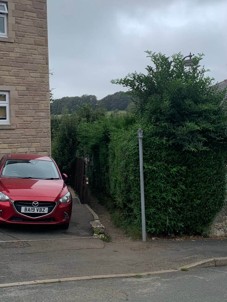
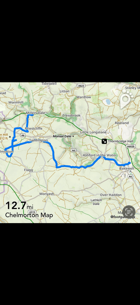
We get off the 218 just before Bakewell town centre, the Newholme Hospital stop to be precise, and, crossing the main road, take the right turn along Holme Lane.
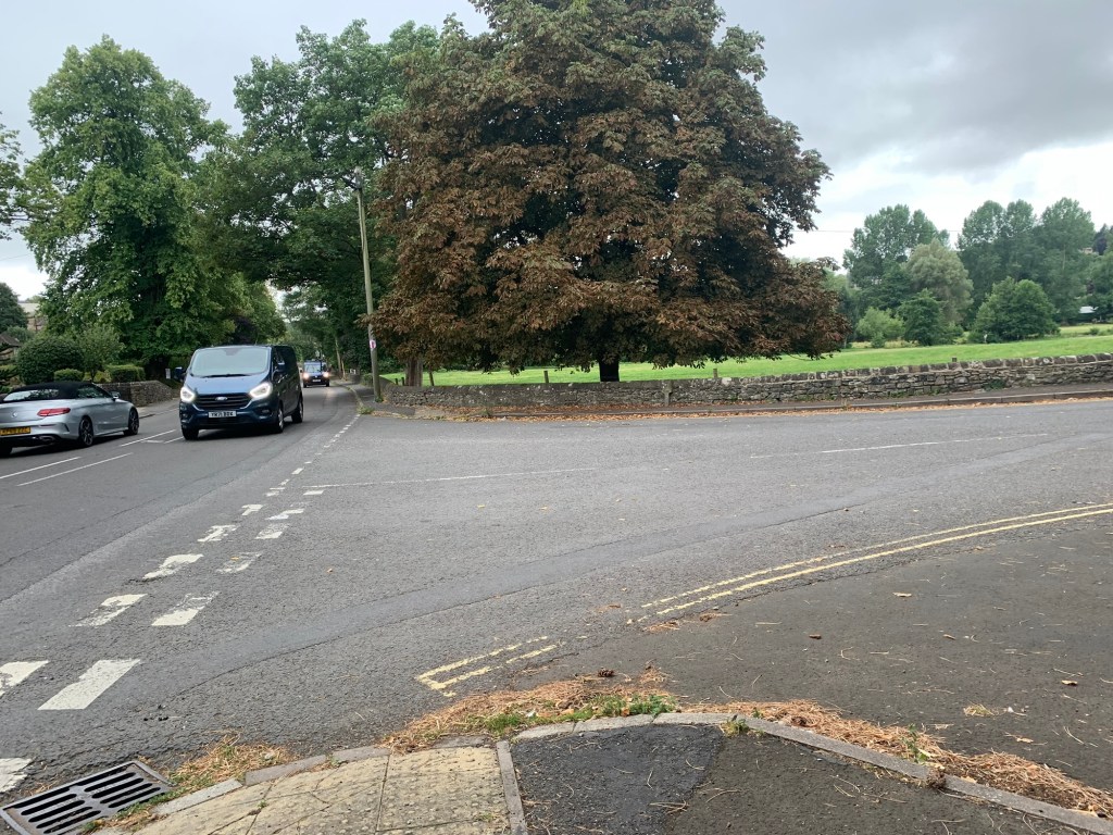
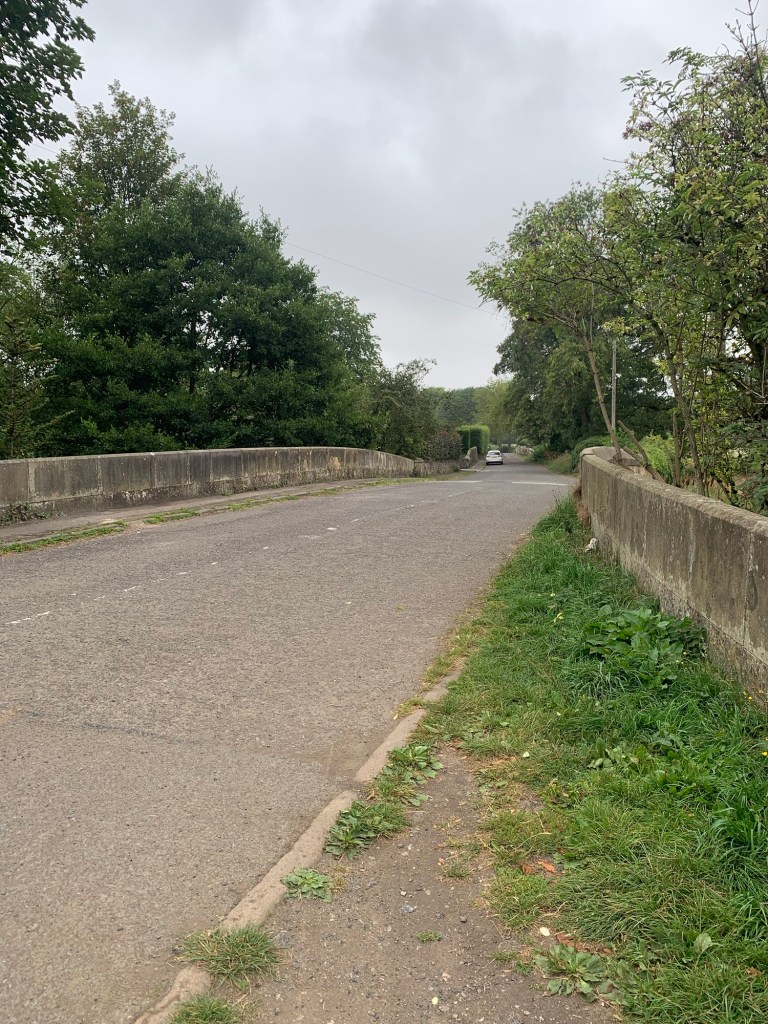
Just as this becomes a private road, on the left hand side there’s the beautiful Holme Bridge, a 17th century pack horse bridge that we use to cross over the Wye and turn right onto the main road.
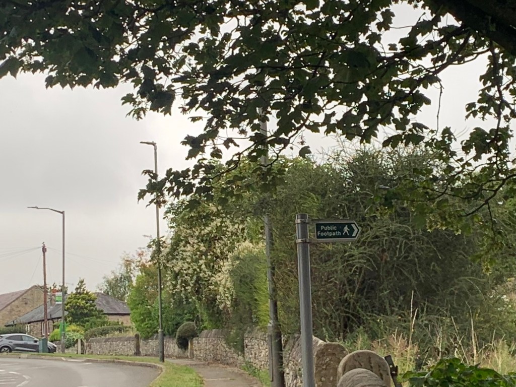
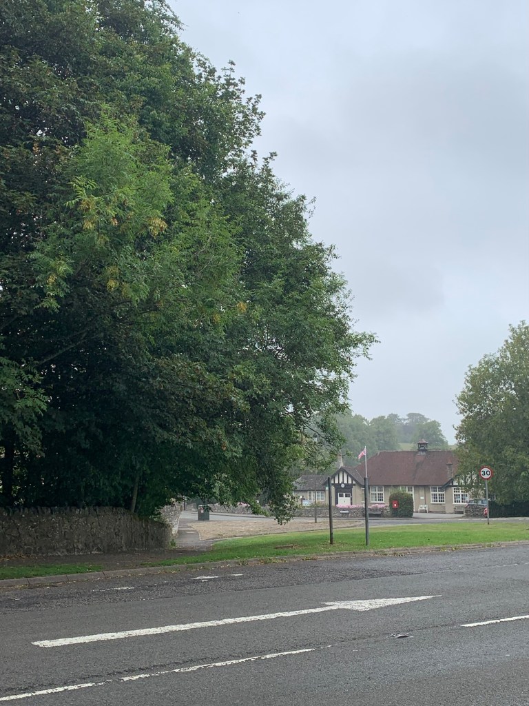
There’s a small stretch of pavement- walking to be endured along the busy A6, first passing the turning for the Thornbridge Brewery, grandly rehoused here as it grew out of its humble beginnings in an outbuilding at the nearby Thornbridge Hall and then passing Bakewell’s out of town Aldi, before a footpath sign off to the right takes us through a small housing estate and onto the pretty river path to Ashford in the Water.
I love this path for some reason. Maybe because it’s so much more pleasant than the A6? Somehow it feels tucked away and overlooked although it’s well defined and obviously well used.
More bridges are coming soon as the path crosses the field to briefly rejoin the road before we turn right across the old road bridge ( back over the Wye) and with the cricket ground on our right, we cross over the A6020 into Ashford village.
I love Ashford too, in fact it was our choice for A the last time we walked through the alphabet. Today, despite the grey drizzly day we’re having, it looks very well presented with its church, the much photographed octagonal shelter and all its lovely old buildings and gardens. Ashford is quite a village as far as facilities go too; the most relevant for us being, a shop, two pubs and a cafe,
and, very usefully, public toilets.
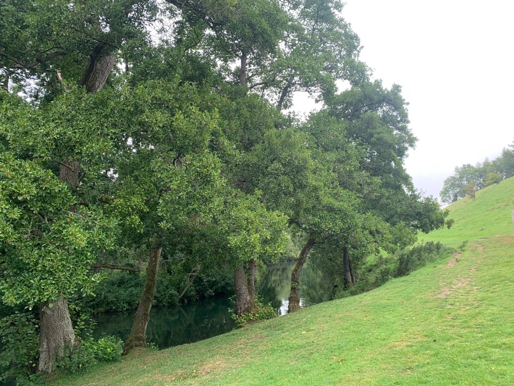
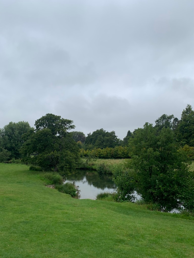
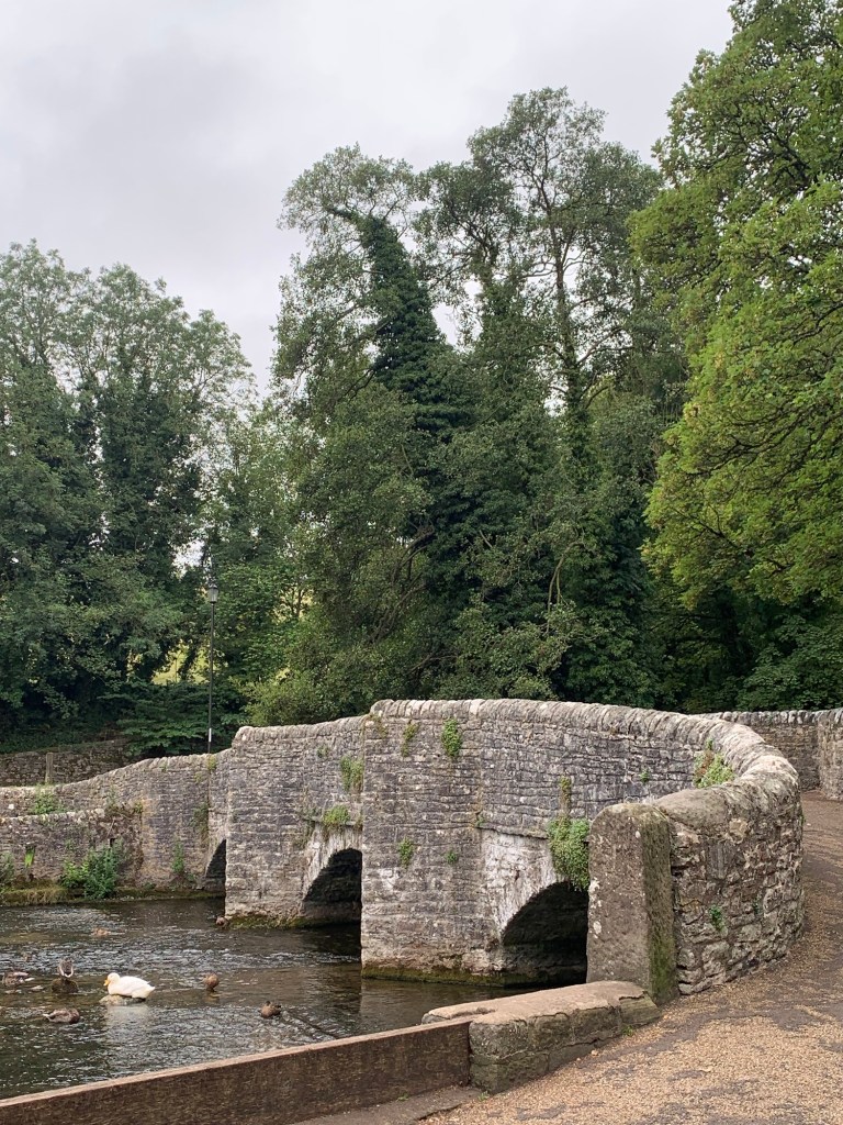
Of course the main crowd puller here is the Sheepwash Bridge which we use to cross over the Wye (yet again!) and from which we spot lots of ducks but alas, no sheep washing.
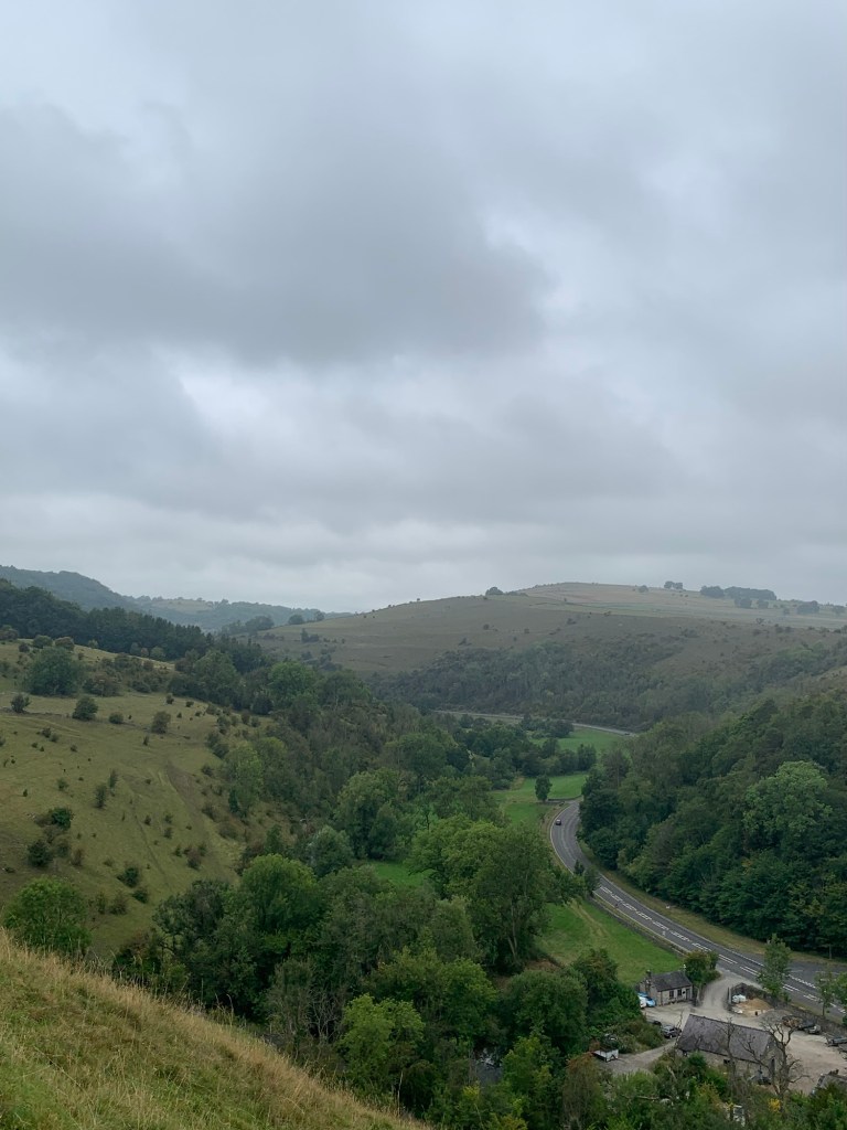
That’s the last we’ll see of the river until the end of our walk and it’s the end of the flat walking for a while too, as we cross the main road and head for the finger post straight opposite.
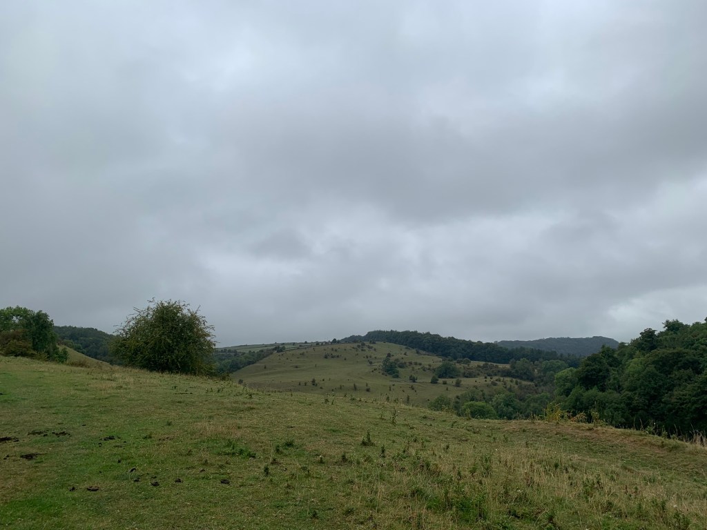
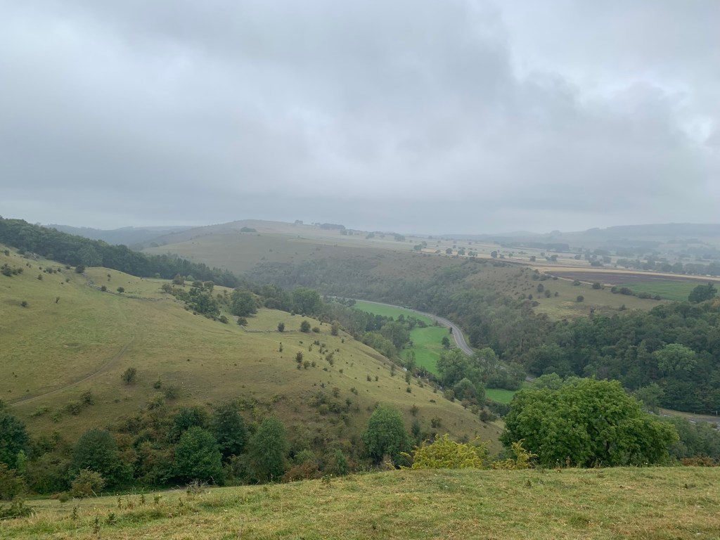
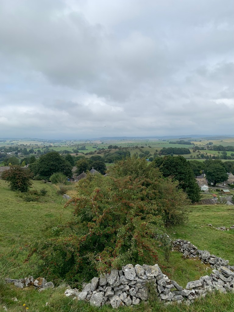
Up we go, and the higher we climb the better the views back down into Monsal Dale and over to Fin Cop. On a fine day this would be magnificent but actually it’s very atmospheric today in its own way.
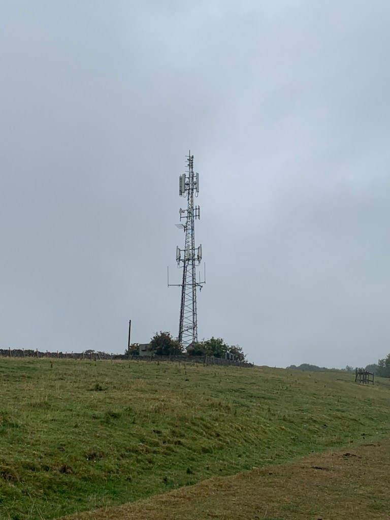
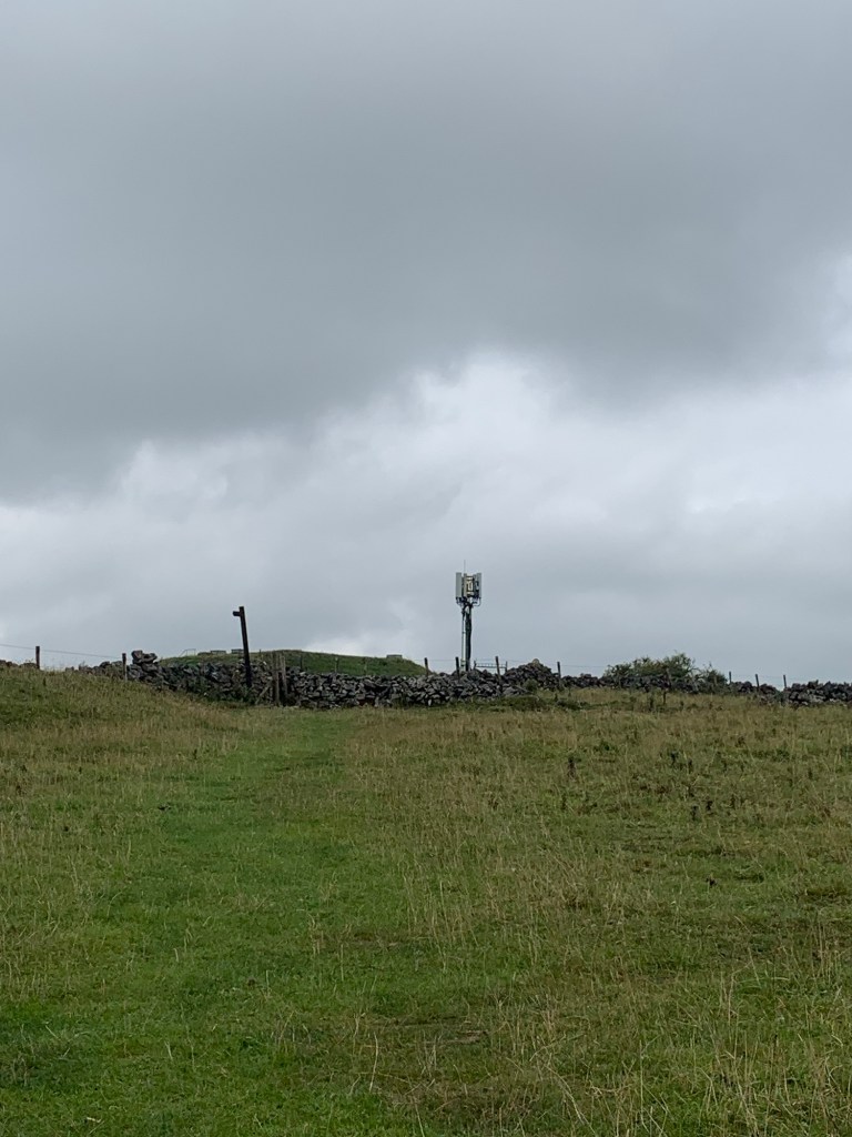
Once past the television mast the hill eases off a bit and when the path arrives at the lane we follow the lane to the right, winding back downhill a little before crossing straight over the next road and onto another short but steep path before turning right onto the next lane and into the village of Sheldon.
A much smaller affair is Sheldon with its one pub and one street but very typical of Derbyshire’s limestone villages and with a wealth of history in the area of lead mining at the nearby Magpie Mine. We’re going to have to come back this way in the future for further exploration.
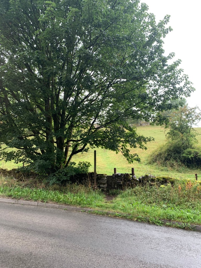
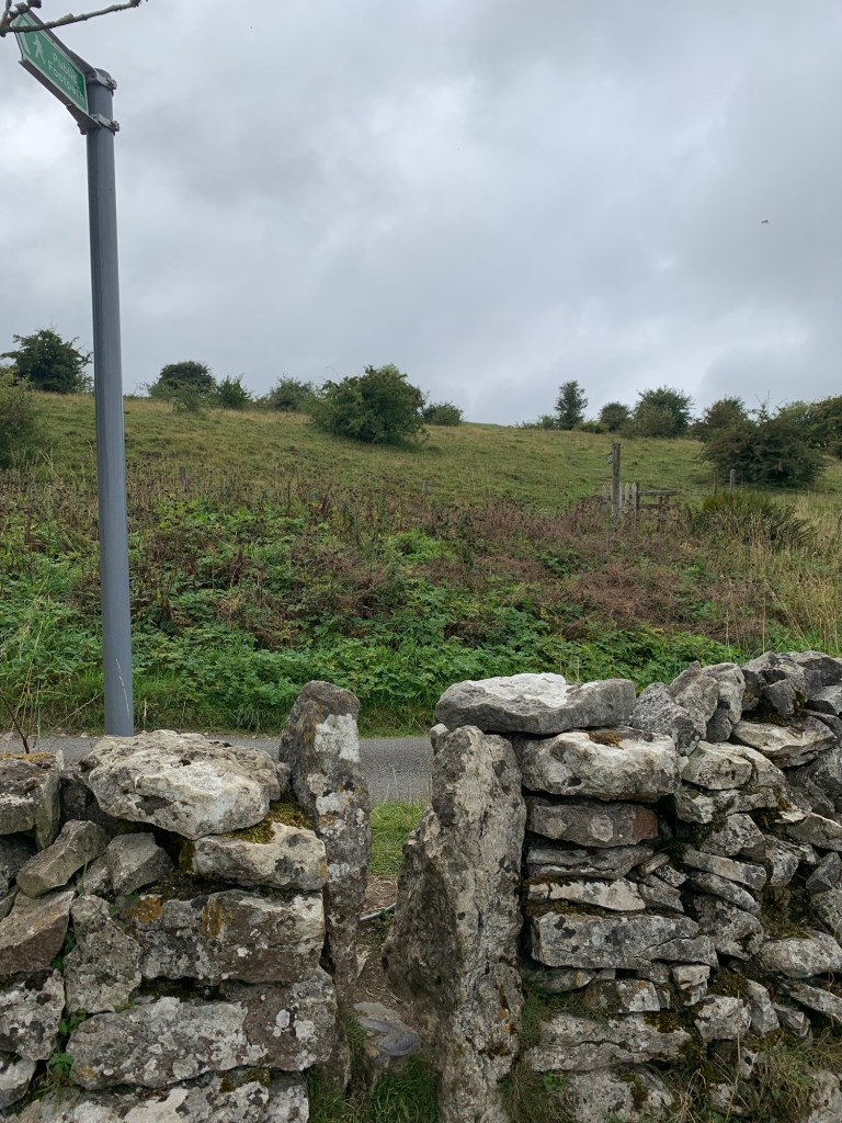
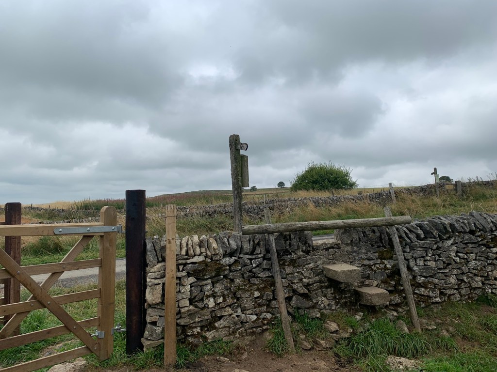
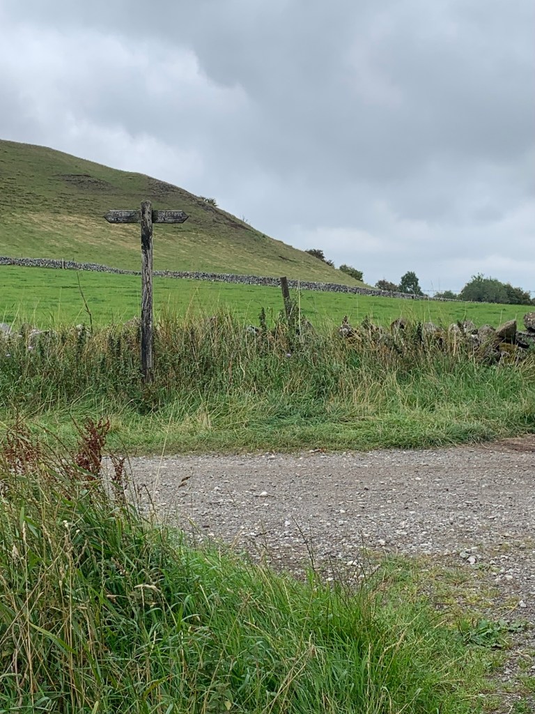
As it is, we’re soon at the other end of the village and shortly after the metalled road turns to the left we spot our footpath sign on the right and clamber over the first of many stiles as we start to cross numerous fields of all shapes and sizes.
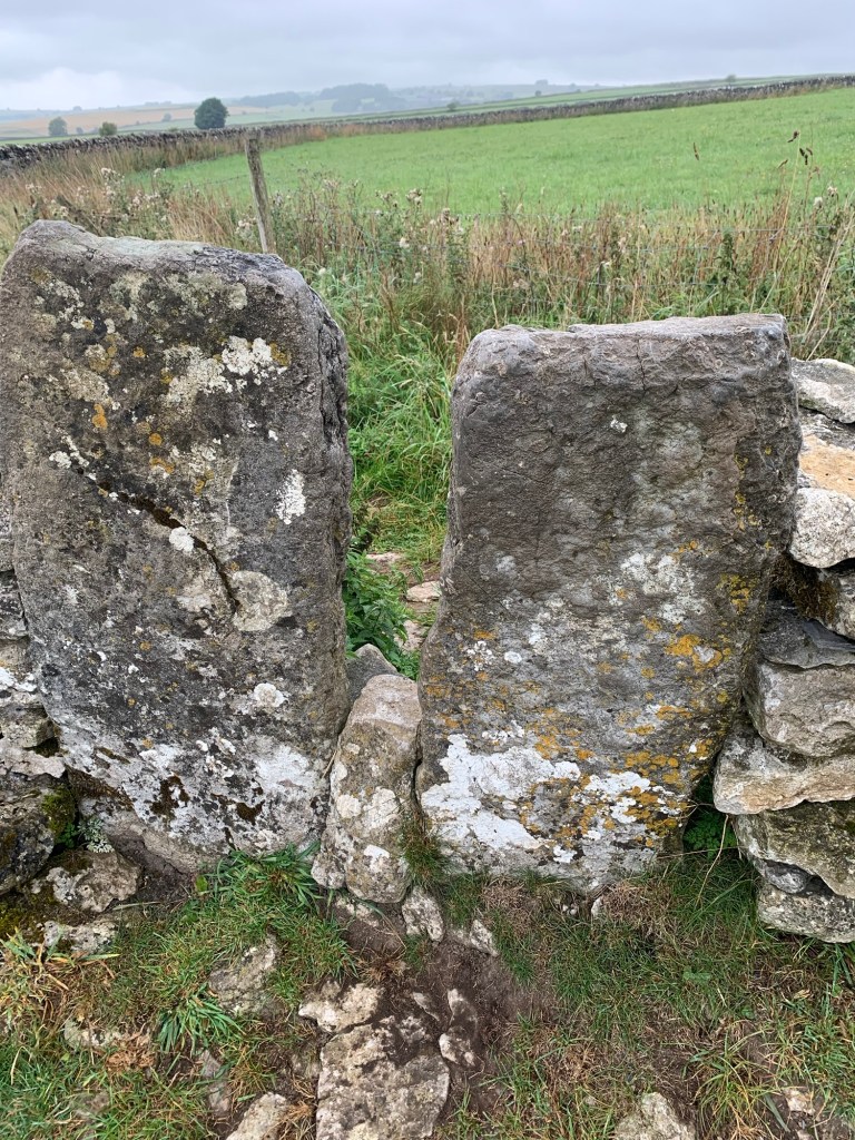
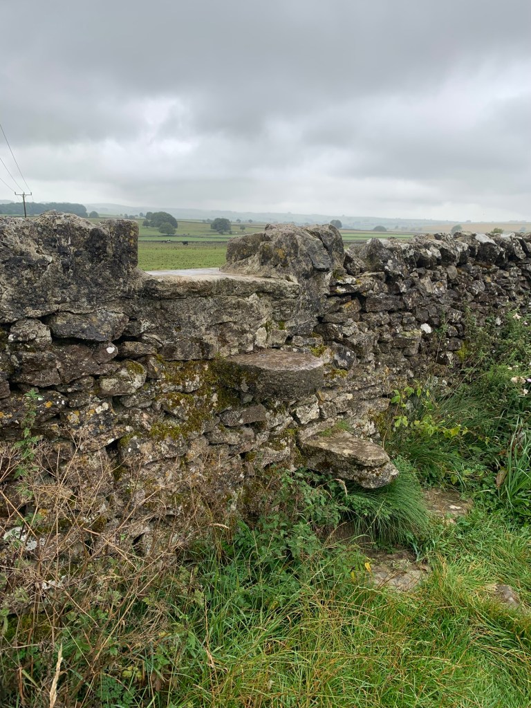
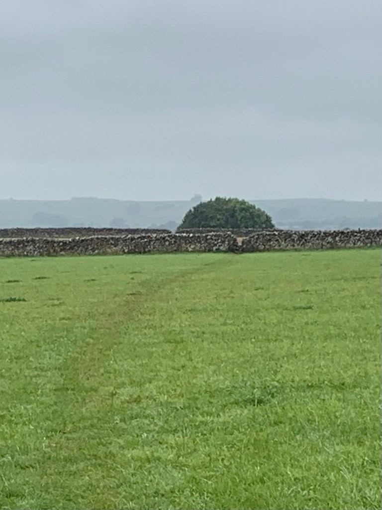
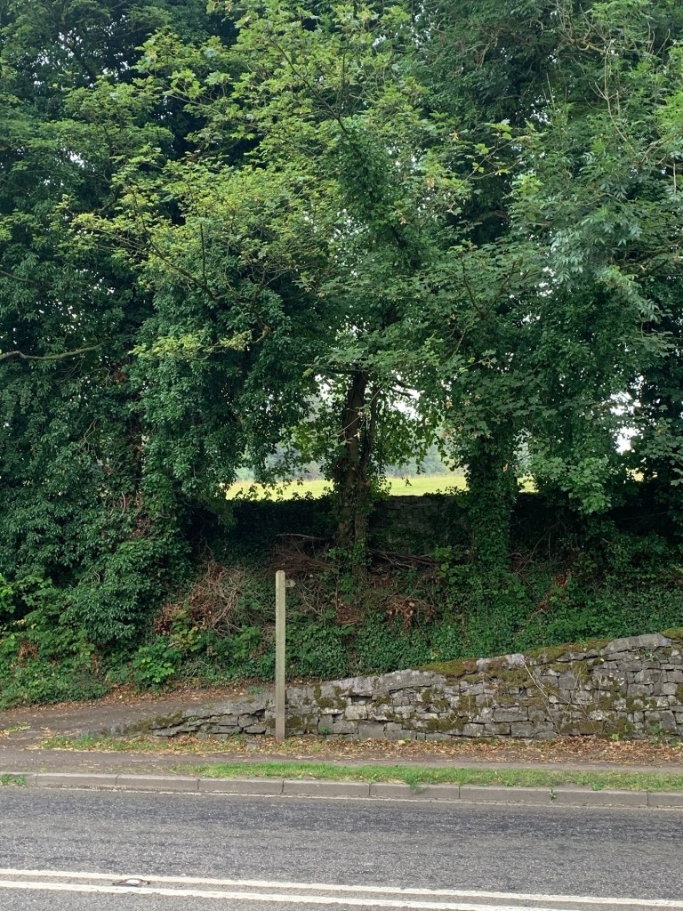
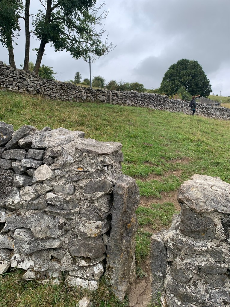
The limestone walls and the stiles themselves are a feast for the eyes. Viewed close-up every stile we climb is full of fossils, whilst further afield the wall patterns crisscrossing the landscape make this a very distinctive landscape. The white of the limestone and the green of the fields creates a very different feel to the gritstone landscape of our our previous walks for A and B.
Here also, are our first encounters with the cows. They seem to be a docile enough bunch today, but why they always decide to stand in front of the stile you’re aiming for I just don’t know.
The path is just visible but not particularly well trodden so we play spot the stile from one field to the next to be sure of our way.
The path forks fairly soon after it’s started and we take the left, but it wouldn’t be the end of the world if you took the other option as both paths eventually end up on the cart track known as Wheal Lane.
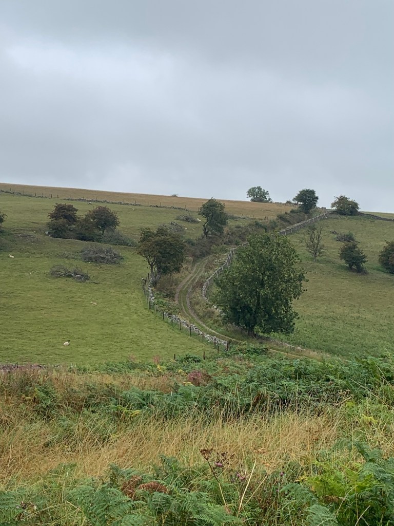
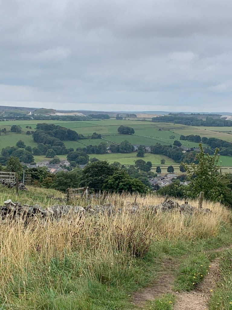
We follow the track past Over Wheal farm where it becomes a tarmac road heading through more limestone scenery before dropping down into village of Taddington.
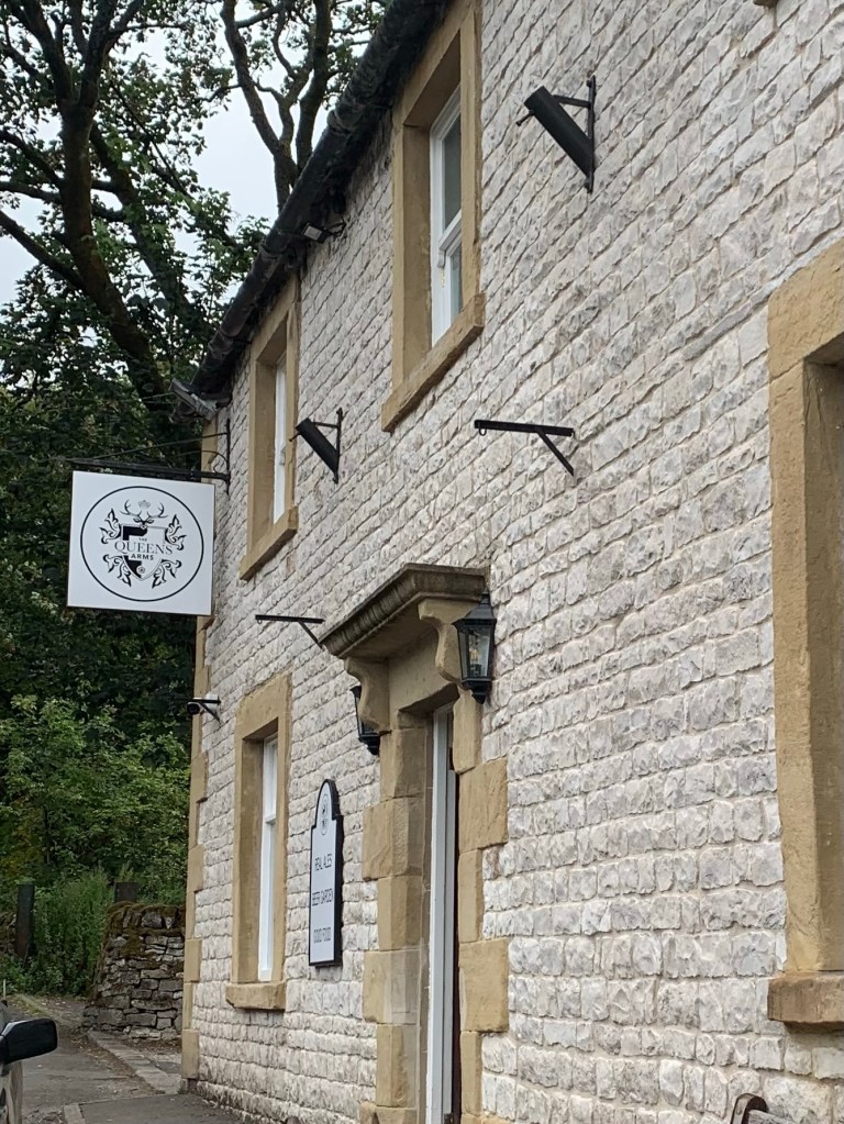
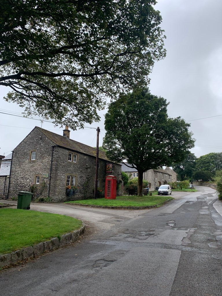
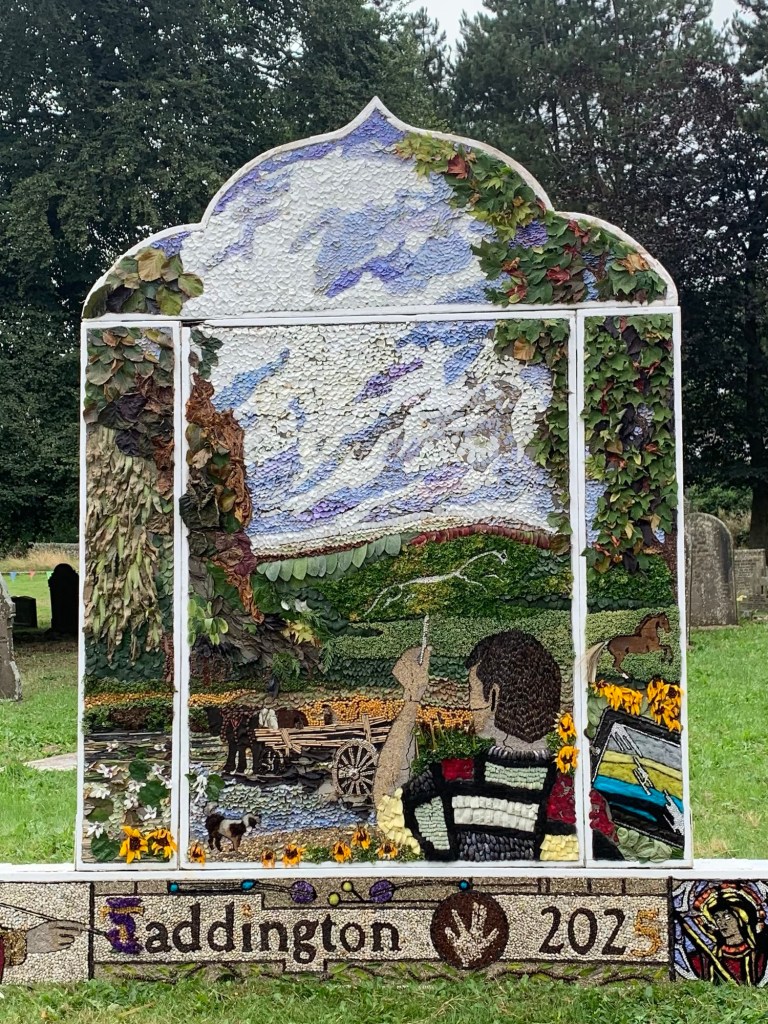
Taddington has the very welcoming Queens Arms which is a great place to stop off for food and drink and also today we were lucky to catch the village well dressings at the church.
Taddington is an old lead mining village with a lot of history and interesting clusters of houses of varying dimensions and designs. There’s the feeling that there used to be a lot more going on here in days gone by.
For engaging snippets of information about the five pubs (!) which used to be in the village check out:
https://www.bygoneboozers.co.uk/post/a-taddington-threesome
Past the church at the opposite end of the village to the Queen’s Arms there’s a kind of five way crossroads
and we need to turn briefly left onto Humphrey Gate before taking the very narrow path between houses on our right
which leads up onto the higher ground behind the village.
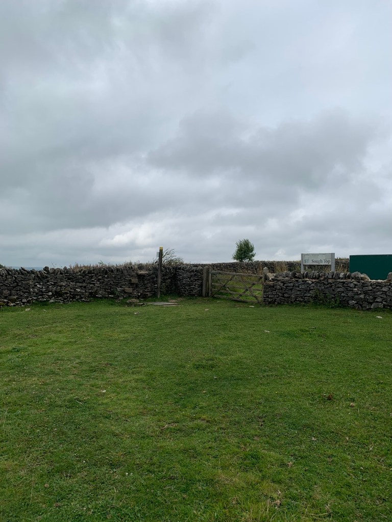
We cross Slipperlow Lane and continue on the path uphill heading for the telephone mast and Sough Top.
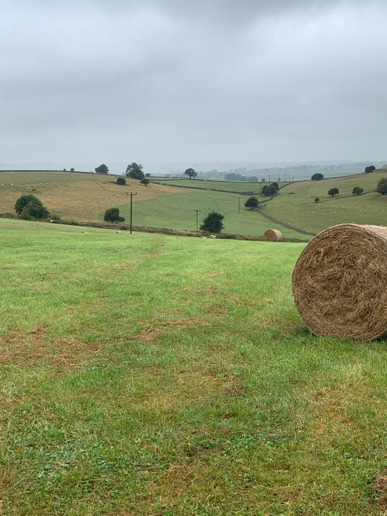
We’re back onto high level field paths with lots of more stone walls and stiles and a few more cows and horses.
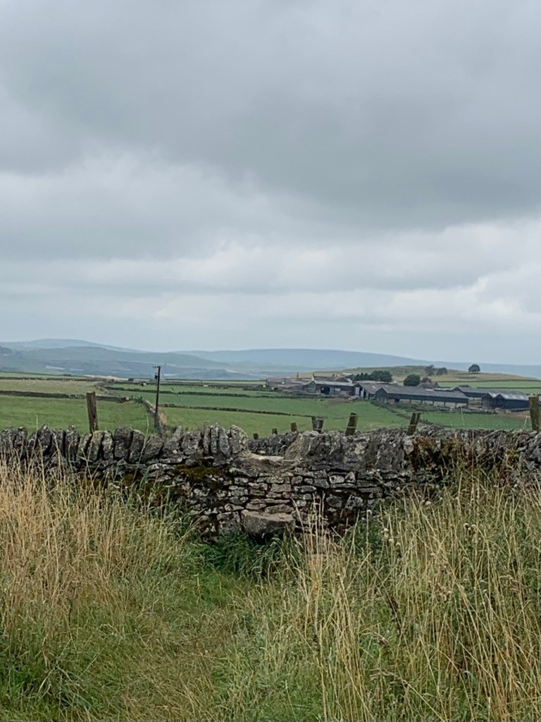
Views of the limestone countryside are far ranging and the gritstone moors behind Buxton come into view in the distance.
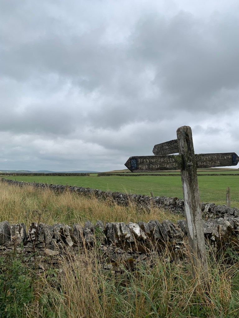
Near Five Wells Farm we stop to say hello to some friendly donkeys ( residing in a different field!) and we continue straight on, crossing first the Limestone Way and then the Pennine Bridleway before heading along a very bumpy stretch (I’m sure is evidence of lead mining) before dropping down steeply into our destination village of Chelmorton.
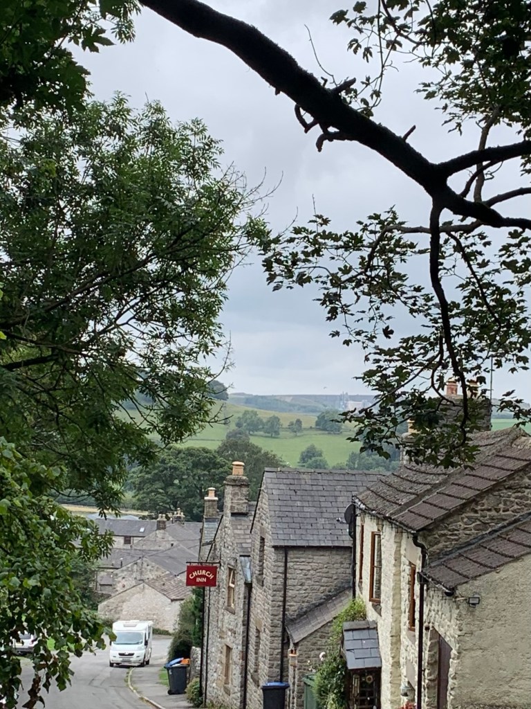
The pub is called the Church Inn and is opposite the church ( no way!) It is a lovely pub and a great place to eat, drink and be merry.
Chelmorton is another lovely limestone village and well worth the hike.
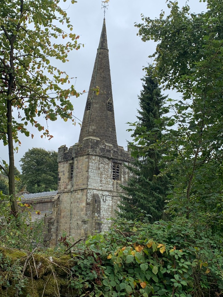
It has the claim to fame of being the highest village in Derbyshire and the church of being the highest church ( check out the weather vane too) and apparently it’s been around since the 11th century so no wonder everything seems to be named after it!
Just before we arrived in the village we passed a sign marking Bank Pit Spring, which was the original water source for the village and still runs through the village to feed the water troughs lower down.
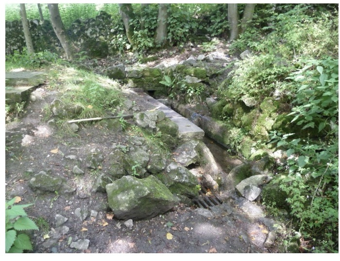
The stream is called the Illy Willy Water and seems to be tied up with the history and the very existence of the village.
I’d love to know where that name came from.
http://chelmortonparish.org.uk
After sampling the delights of the village we take first left below the pub onto Church Lane ( apart from the imaginative name for the stream, other names do seem to be a bit limited) and follow the road, marked on the map as part of the Midshires Way. At the T junction turn left for a few metres and then left again onto the Pennine Bridleway and, hey presto, we are soon back up near Five Wells Farm where we’d crossed the PBW before arriving in the village.
No, it’s not a mistake, it’s just an elaborate way to avoid retracting our steps!
Obviously just back- tracking is an alternative option; possibly a little shorter but perhaps less aesthetically pleasing? There’s not a lot in it.
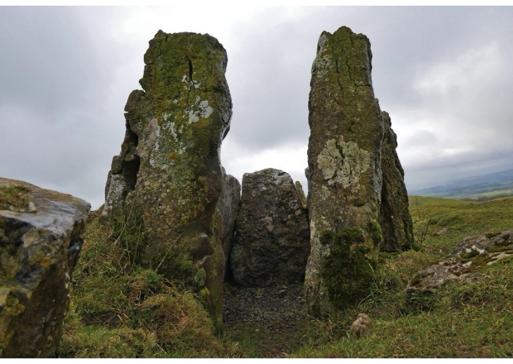
Anyway, from here as we now head straight ahead on the PBW we soon pass a battered finger post pointing the way (to the right) to the ancient chambered cairn known as Five Wells Tomb.
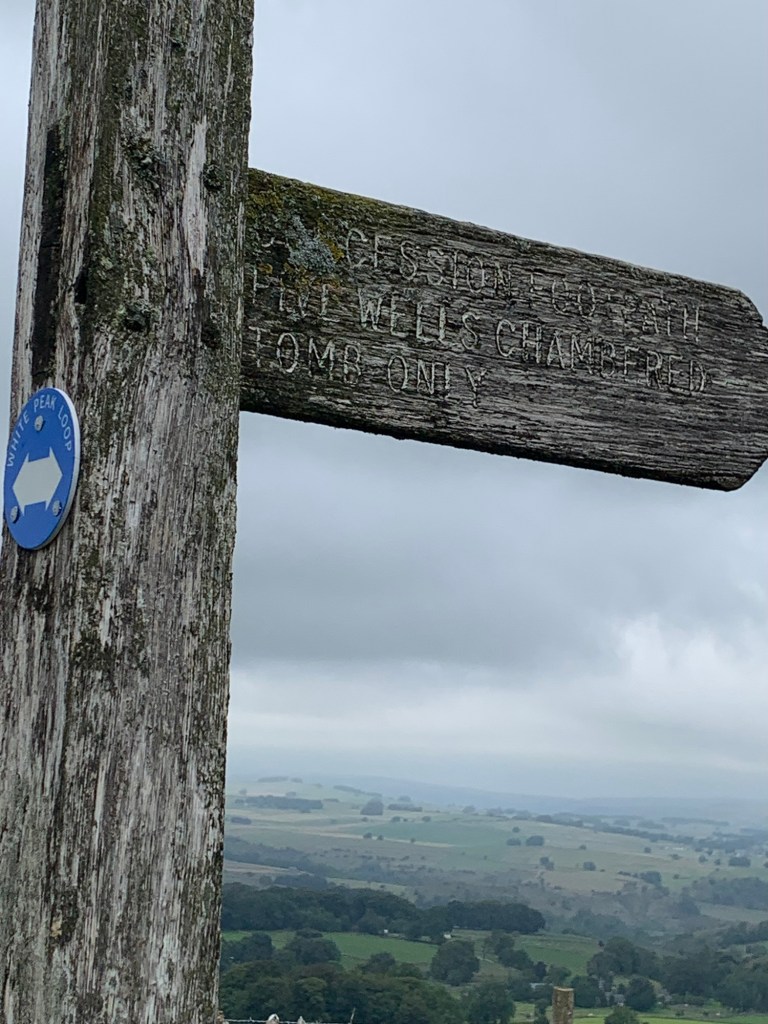
If you like old things, (as in Neolithic), this is well worth the detour. And besides being very old it’s also said to be the highest chambered cairn in Britain and it’s an amazing view point.
I love it there.
https://en.m.wikipedia.org/wiki/Five_Wells
Coming back to the PBW we continue straight ahead taking an obvious right at the old quarry followed by a left down to the main road.
We cross straight over and continue on to Blackwell where we have a few choices for how to complete the walk depending on how much time there is left before the bus is due.
The longest and probably the best option is to turn left at the T junction and continue to follow the PBW until you meet the Monsal Trail at which point you will turn right and follow the trail to Millers Dale.
However today we are turning right past the caravan site and on through Blackwell village.
If you’re really short of time you can actually catch the bus home from here at the crossroads, Blackwell Lane End, and these days there is even a cafe at the caravan site although I’m not sure of opening times.
https://beechcroftfarm.co.uk/daisies-coffee-shop/
However, if you’re continuing to Millers Dale as we are today, simply cross straight over at the crossroads, continue along the lane and at the brow of the next hill take a left along the Limestone Way.
This is a lumpy and rocky cart track which heads rapidly down hill to emerge just a few hundred metres away from the end of the walk. At the bottom of the track turn right along the main road and grit your teeth for a few minutes of unpleasant road walking with not much of a verge to escape onto. But here we are in Millers Dale, at the bend in the road we’re once more crossing the River Wye and soon after ( just past the bus stop on the other side of the road) we’re standing hopefully at the bus stop for a scenic ride back home on the 65.
If you arrive early enough in Millers Dale there’s a lovely cafe at the old station just up the road to the left as you cross the bridge.
http://www.blueberryfood.co.uk/the-refreshment-room
And the bus ride home on the 65 is absolutely one of the most scenic rides in the Peak, giving us lots of ideas for other walks using various letters of the alphabet on the way!
A great day out in the Limestone uplands.
See you next week for D.
https://footpathapp.com/routes/8F17B45F-B06A-4A87-847C-70D342B9EBBB
C is for Chelmorton
TRANSPORT
Bus 218 or 257 to Bakewell
Return from Millers Dale 65*
*Infrequent service, check times!
PUBS/CAFES
Edge of Bakewell : The Tin Hut Cafe
Ashford in the Water : Ashford Arms,
Bulls Head, Aisseford Tea Room
Sheldon: Cock & Pullet
Taddington: Queens Arms
Chelmorton: The Church Inn
Blackwell caravan site: Daisy’s Cafe
Millers Dale: The Refreshment Room
HOW FAR?
Approximate distance 24k
ROUTE SYNOPSIS
Bakewell, Ashford in the Water, Sheldon, Taddington, Chelmorton, Millers Dale
MAP
OS White Peak

Leave a comment