
This is another walk where it’s to be expected that you’ll meet a few cows and sheep so, once again, it’s probably not ideal for dog walking or those nervous of livestock.
Today began with a pleasant trip on the bang-on-time 218 bus to Bakewell. Little did we know there would be bus challenges awaiting us later in the day.
(Alternative option: the 257 also serves Bakewell from Sheffield by a different route.)
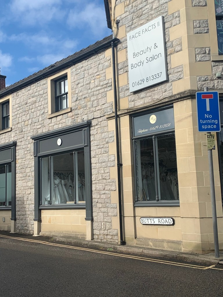
The sun came out for us as we walked past the beautiful flower beds of Bakewell’s Bath Gardens towards the Rutland Hotel, where we briefly follow King Street, the road to the left of the hotel, until we spot Butts Road on our left.
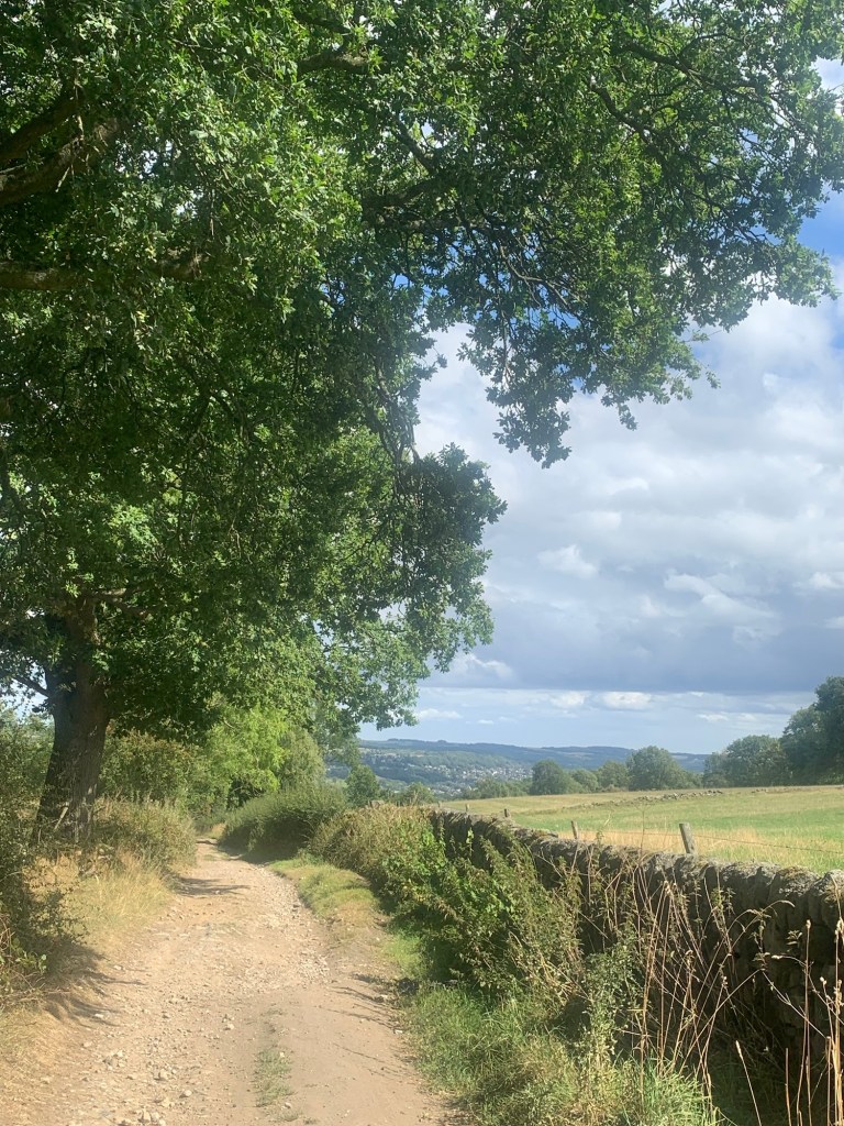
After a steep climb we emerge onto Yeld Road with the cemetery on our left and, keeping left, we walk along Burton Edge Road which becomes a track as we leave Bakewell behind.
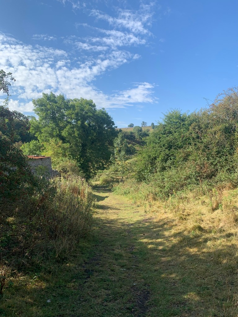
The track drops down to a footbridge over a stream before bearing right to continue along a pleasant green way.

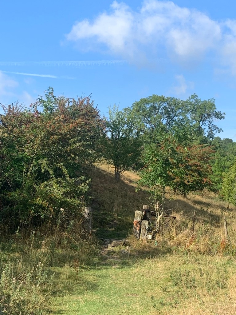
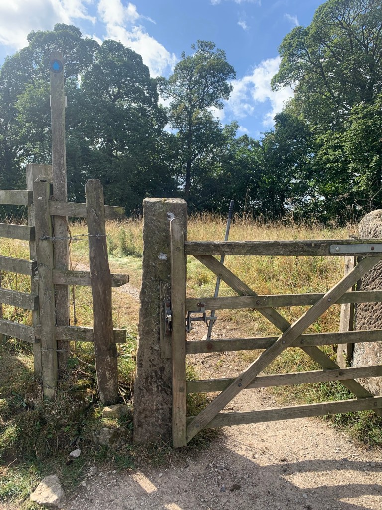
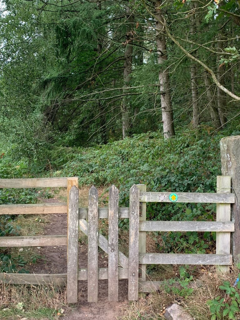
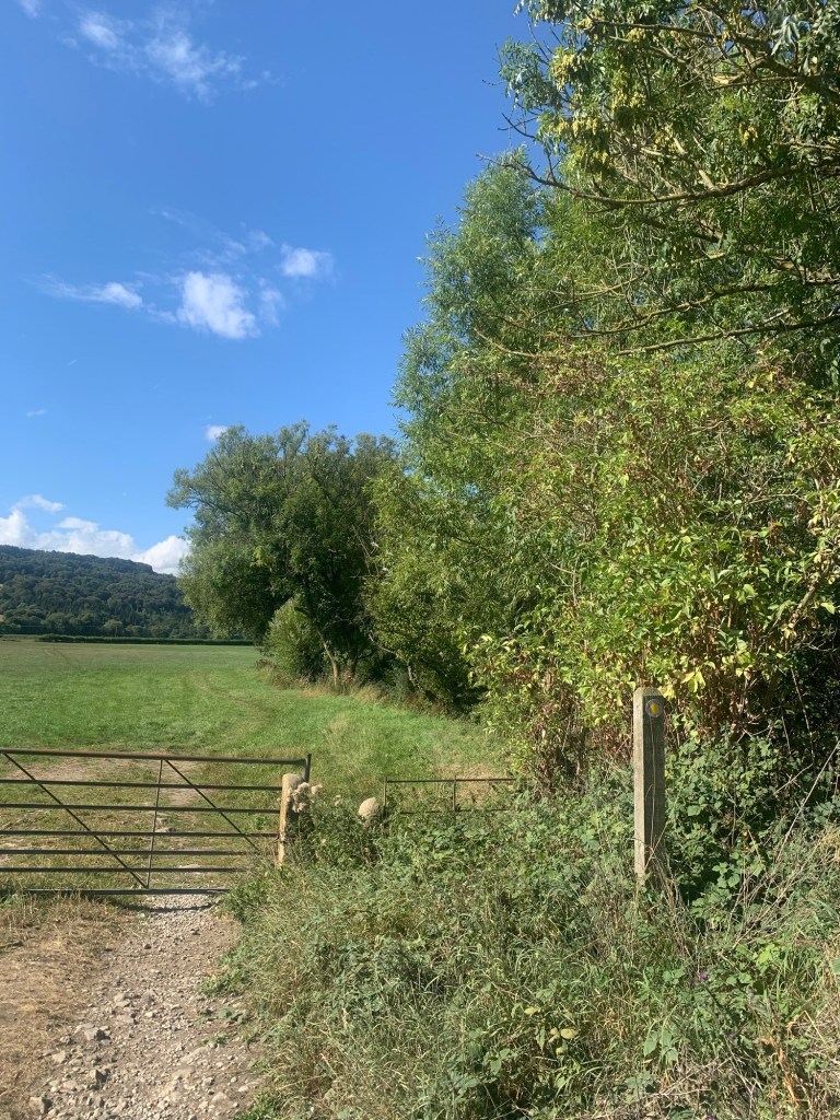
After a few minutes there’s a short climb up to a stile on the left
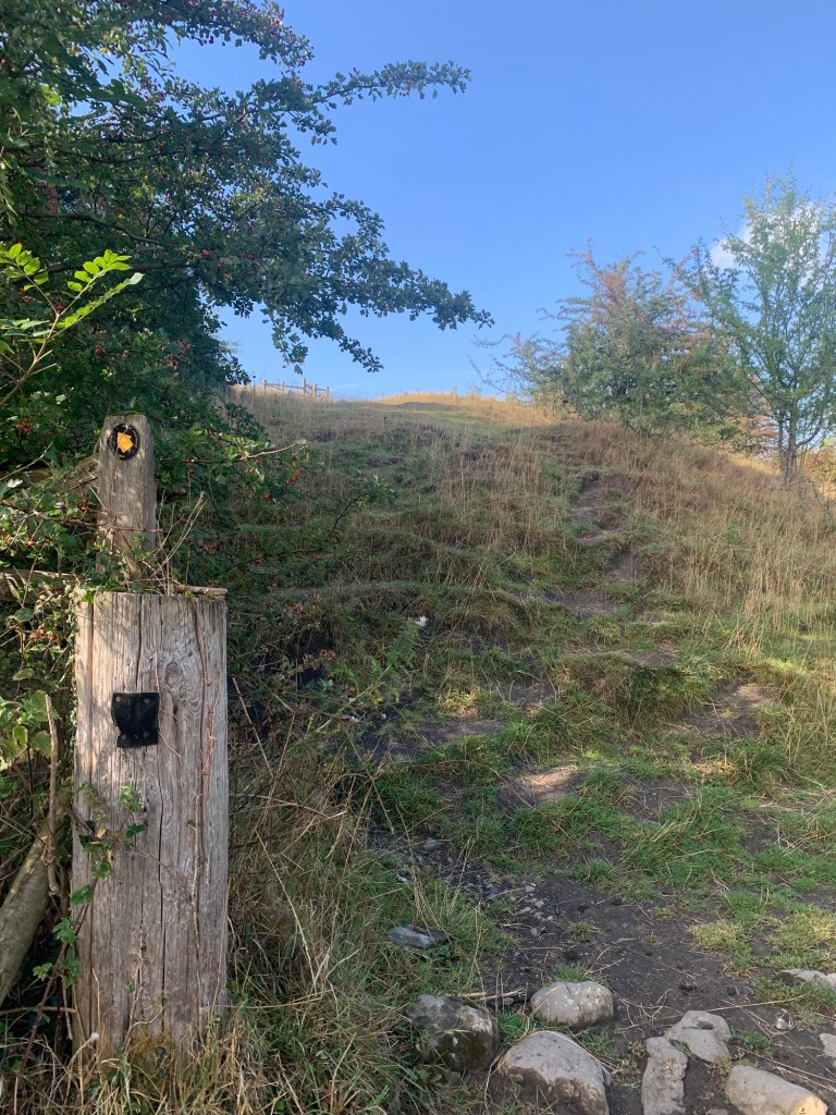
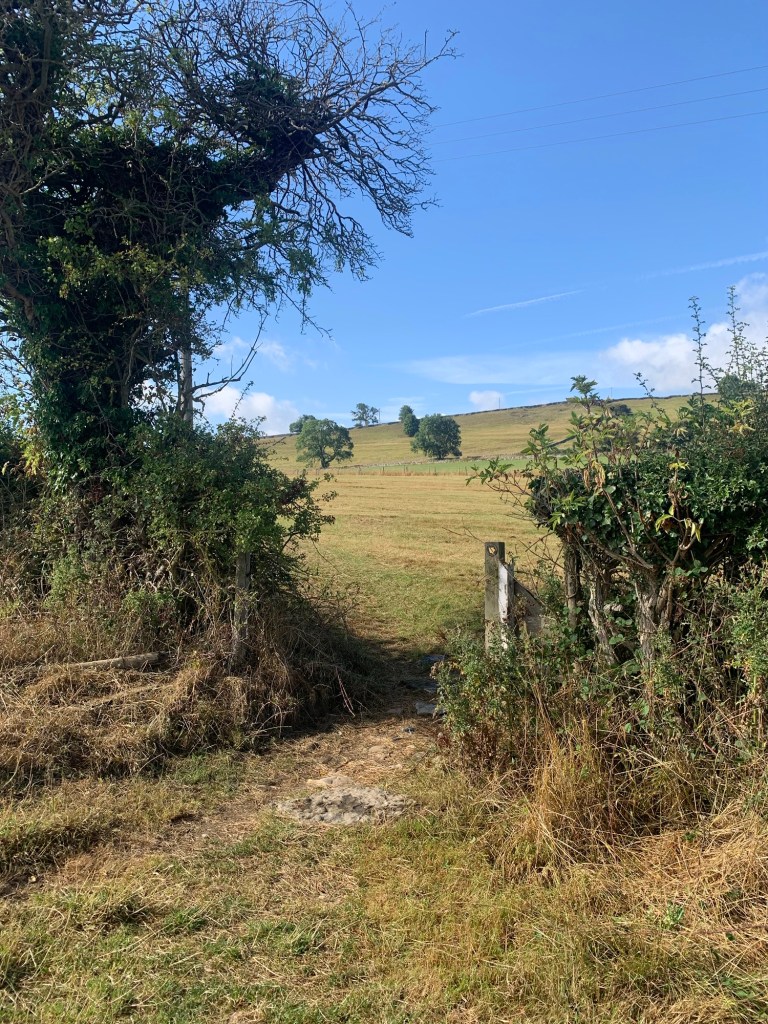
which takes us onto a field path crossing a couple of large fields before joining the Youlgreave road.
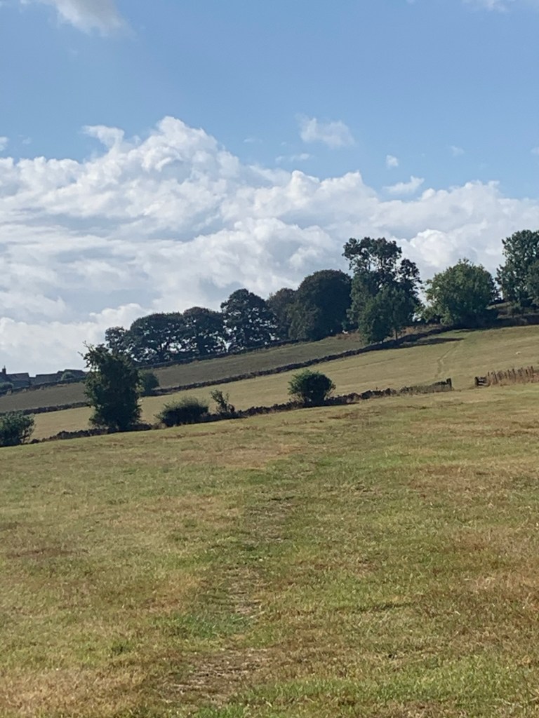
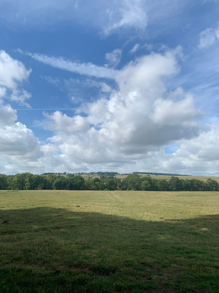
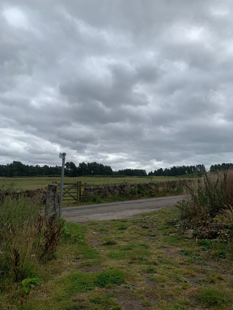
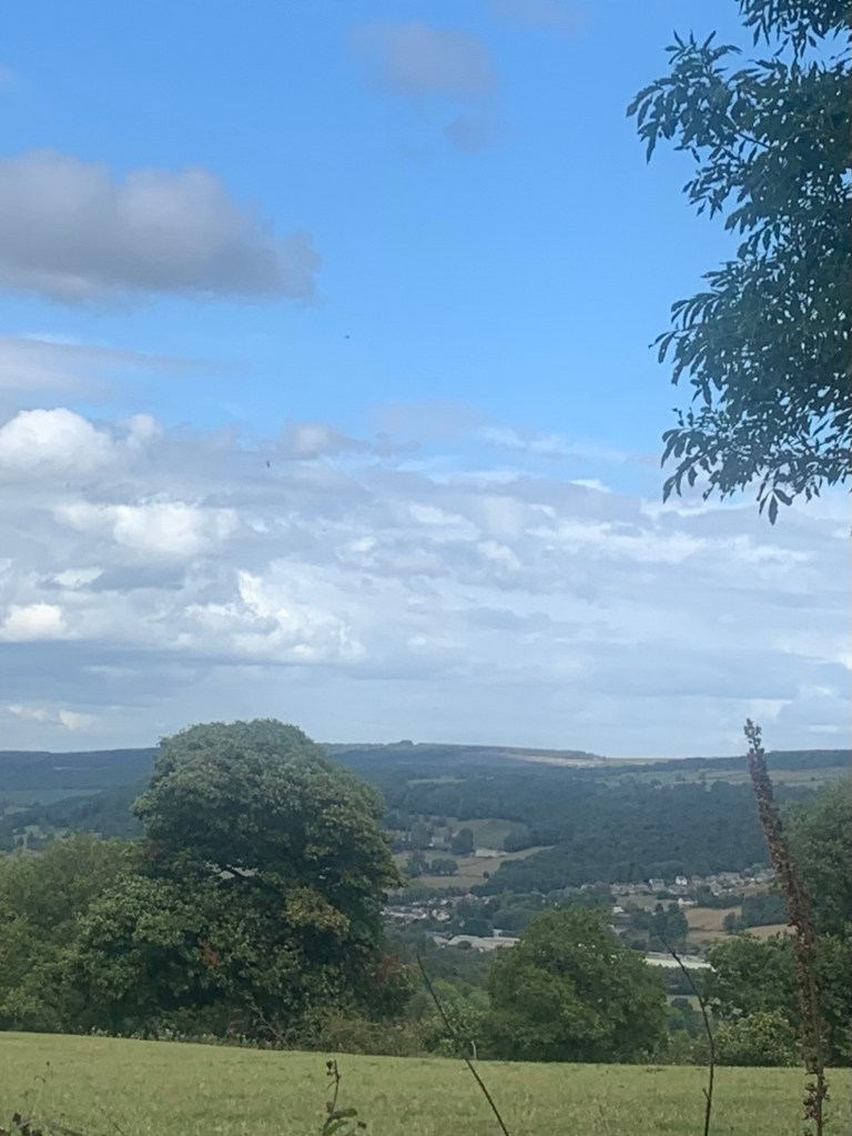
We turn left along the road and keeping straight on past Norton Barn Farm ( don’t turn right towards Over Haddon), as we gain height we also gain fantastic views.
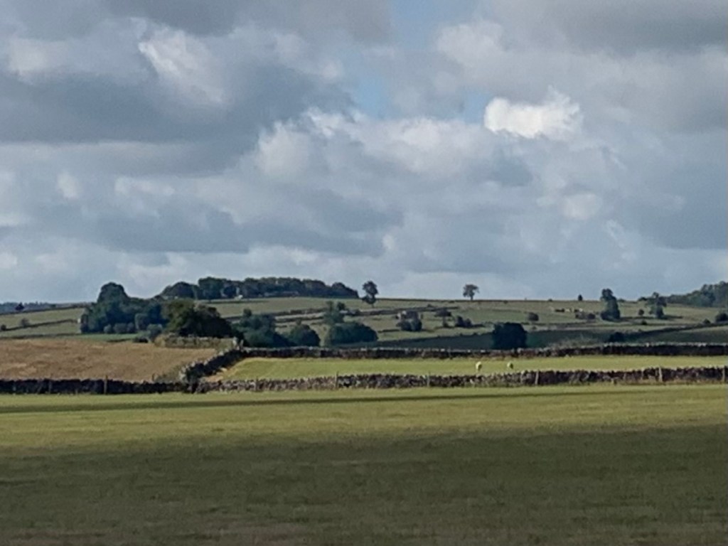
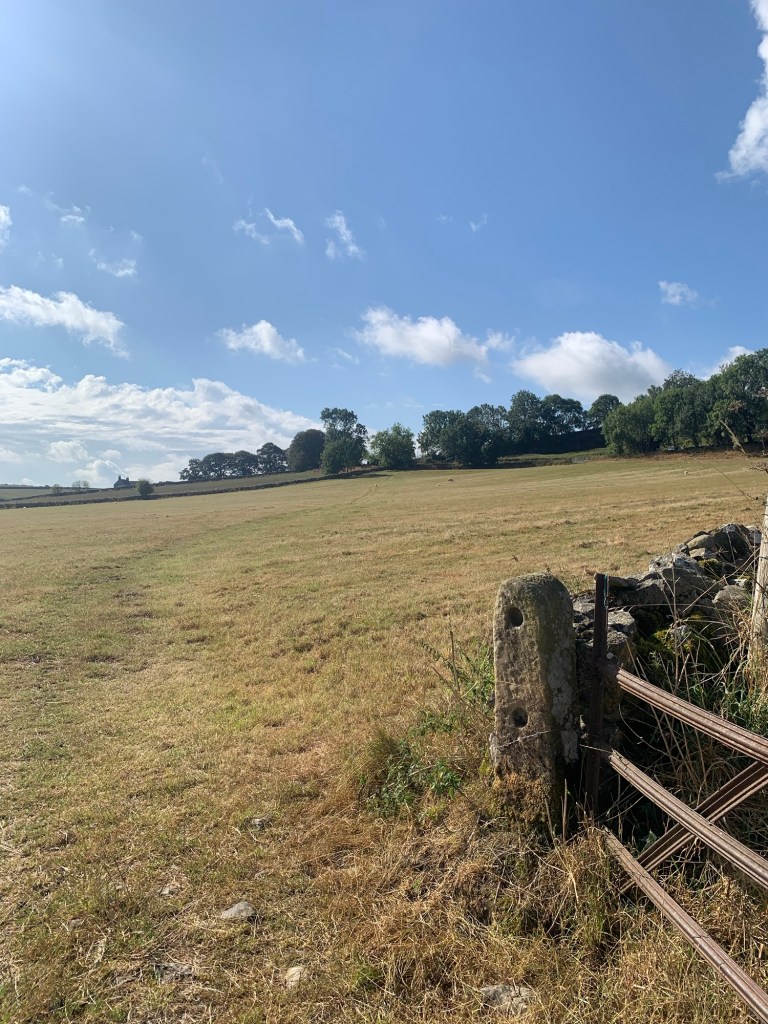
At the brow of the hill where the road veers slightly to the right we keep straight on along a track (restricted byway) until just before reaching the next farm.
Apart from it being straight, there’s nothing very exceptional about this track that I can see but it turns out we’re walking along part of an ancient trackway known as The Portway, which used to stretch from Nottingham all the way to the Woodlands Valley ( of Snake Pass fame). Evidence suggests this route was already old before the Romans arrived ( maybe they straightened out this bit?) and was still being used well into the 18th century.
For more information do check out Stephen Bailey’s book, The Old Roads of Derbyshire which even has a section with suggestions for how to walk the Portway route today and is full of fascinating background on the area we’re walking through today .
Just before some farm buildings on the left, we take the path on our right
and cross diagonally over another field only faintly trodden, heading for a gate
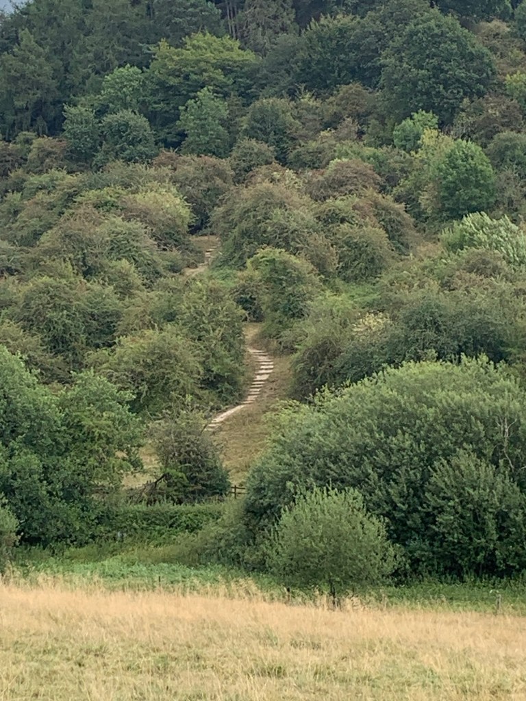
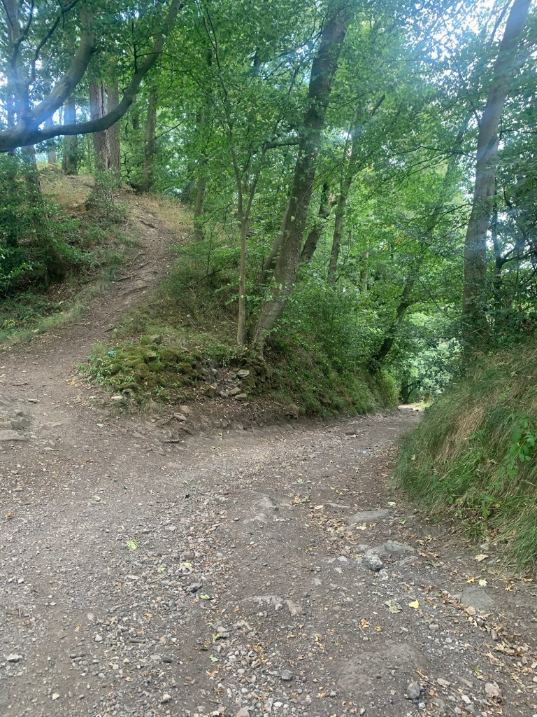
before a steep descent through the woods to the valley bottom.
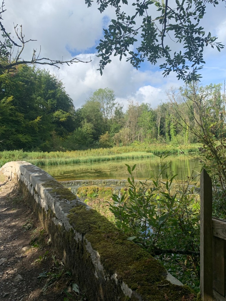
Emerging from the trees we pause on the beautiful footbridge to admire the crystal clear waters of the River Lathkill.
Such a lovely and tranquil spot.
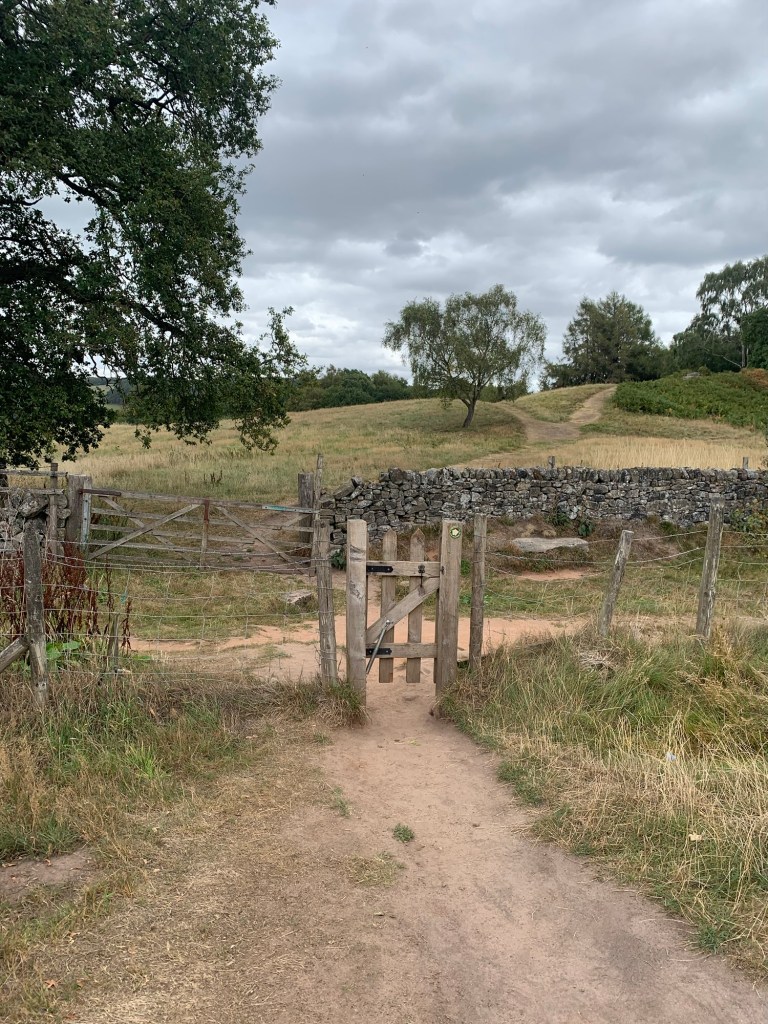
The way is clearly signed here by the land owners and, just before the Lodge we head left along a well defined path which takes us to the village of Alport.
The Lodge which bears the unpleasant name of Raper Lodge, has its own claim to fame as it was used in the filming of The Virgin and The Gypsy in 1970, based on a novel by DH Lawrence.
For filmic memories of the locals of the area and also interesting details of why the building was chosen for the film’s location please see
https://www.youlgrave.org.uk/wp-content/uploads/2020/06/The-Virgin-and-the-Gypsy-50-years-on.pdf
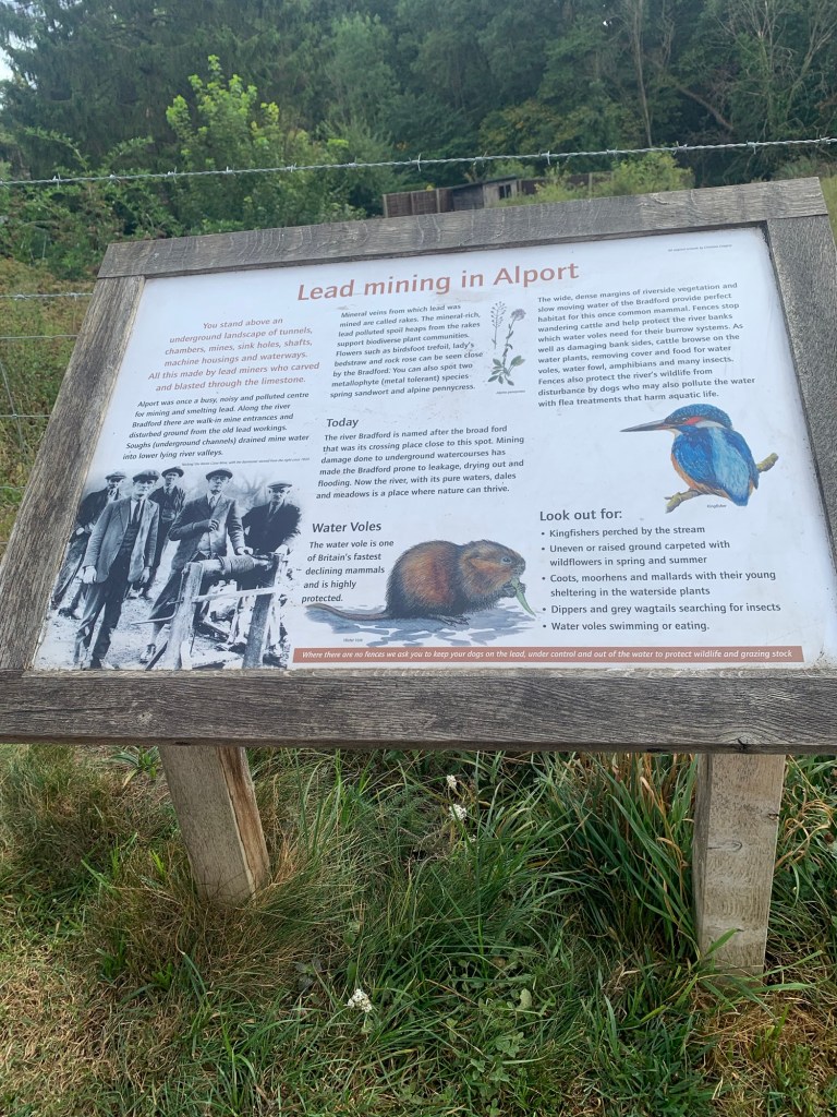
At Alport ( named after the Old Portway?) we cross the road near the phone box and take the path along by the River Bradford.
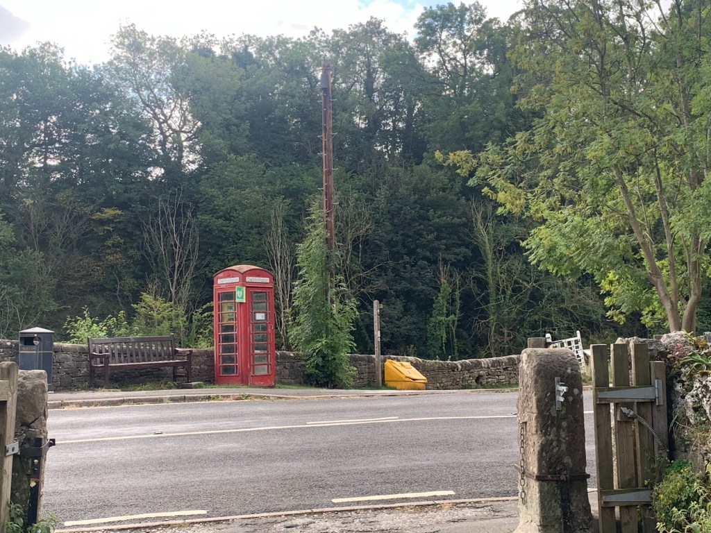
An information board reminds us of Derbyshire’s industrial past. It’s very difficult indeed to imagine lead mines were all around here as we wander along such a scenic path.
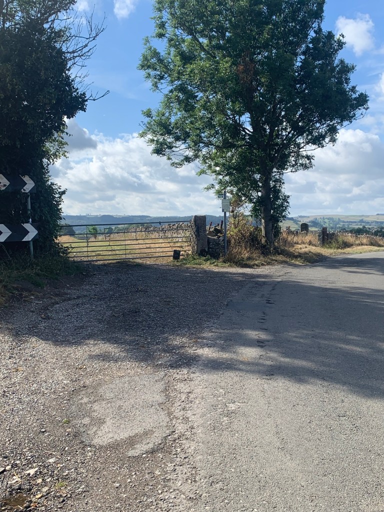
At the next road we’re on the outskirts of Youlgreave but we’re not going up into the village today because we’ve already decided we’re saving that for our “Y.”
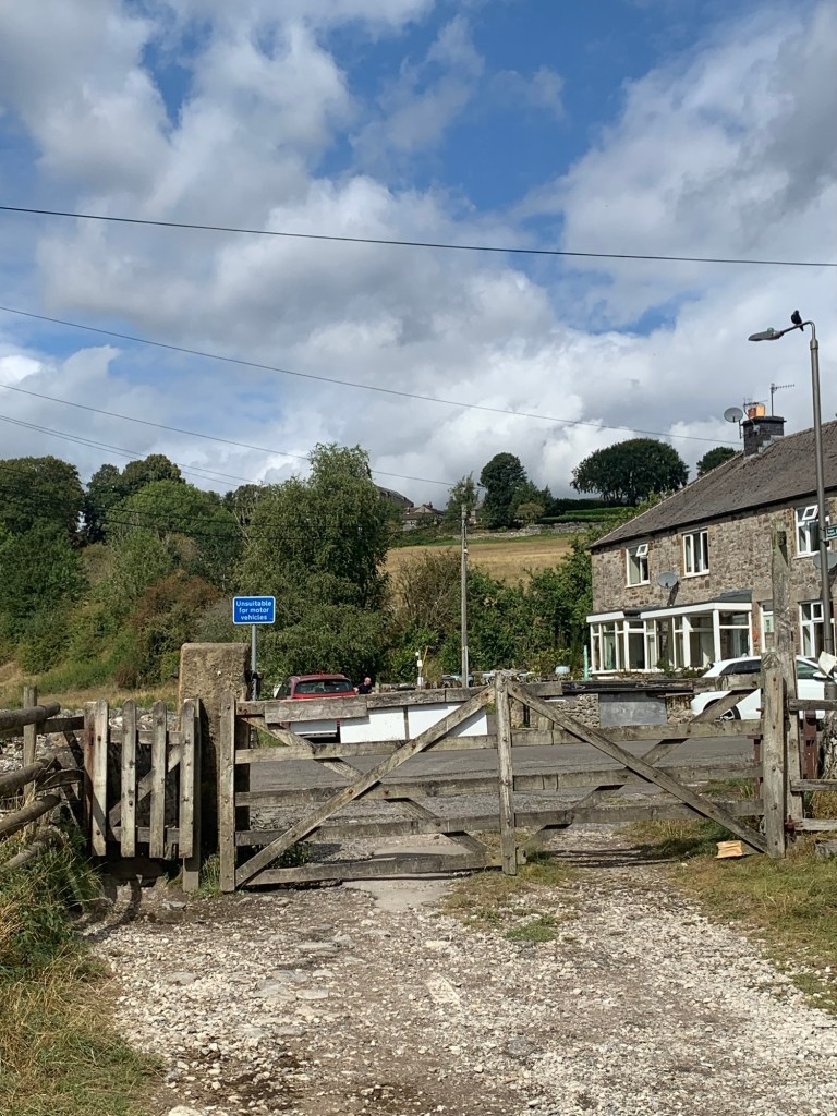
After heading briefly left along the road and NOT taking the inviting looking farm track to Hollow Farm
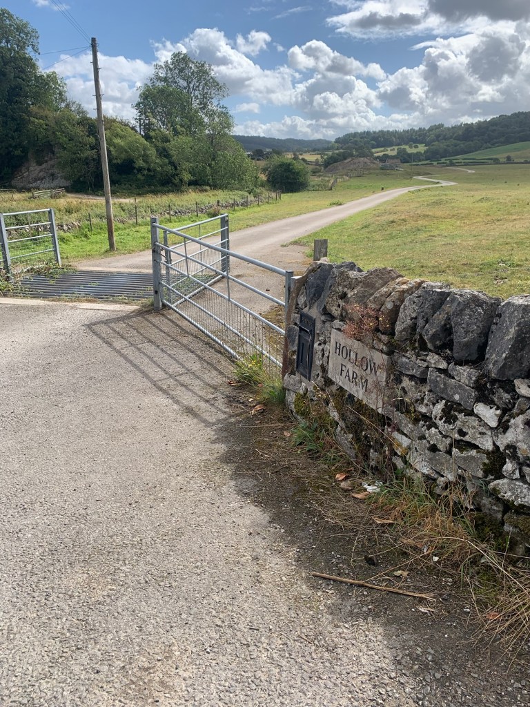
we follow the well signed Limestone Way for the next few kms.
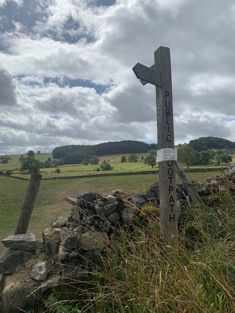
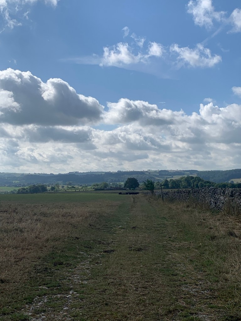
As we climb the hillside there are great views back towards Youlgreave, Over Haddon and we can see where we came along The Portway earlier.
Ahead we veer off to the left still following the Limestone Way as it passes through a pretty wooded area before meeting the lane which comes up from Alport.
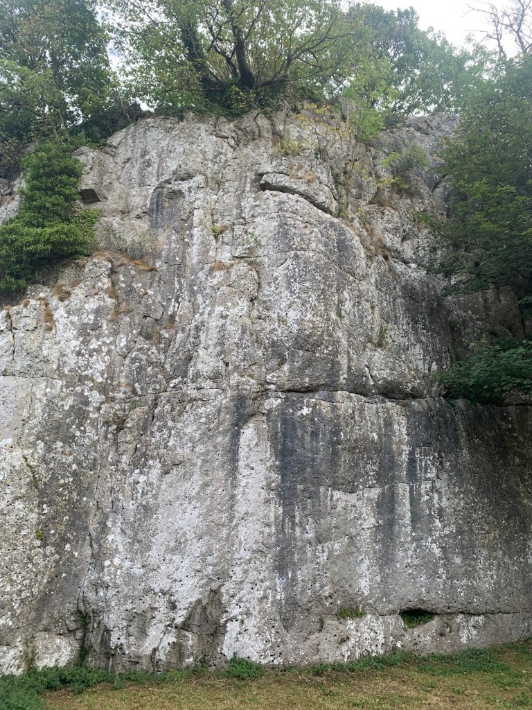
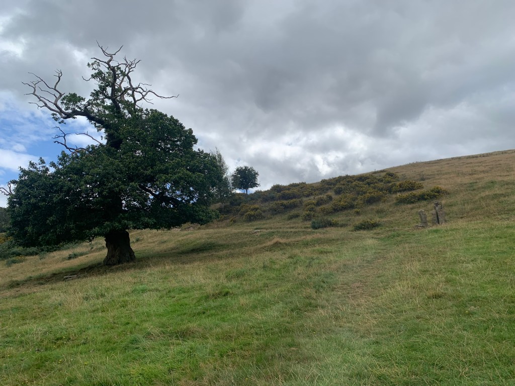
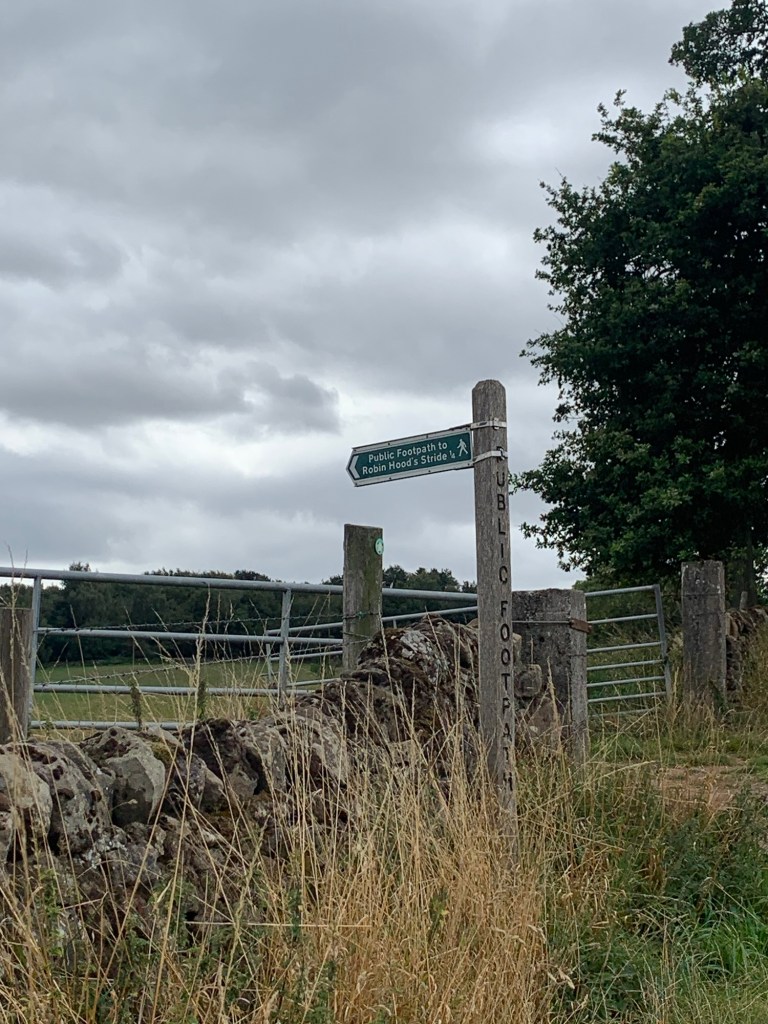
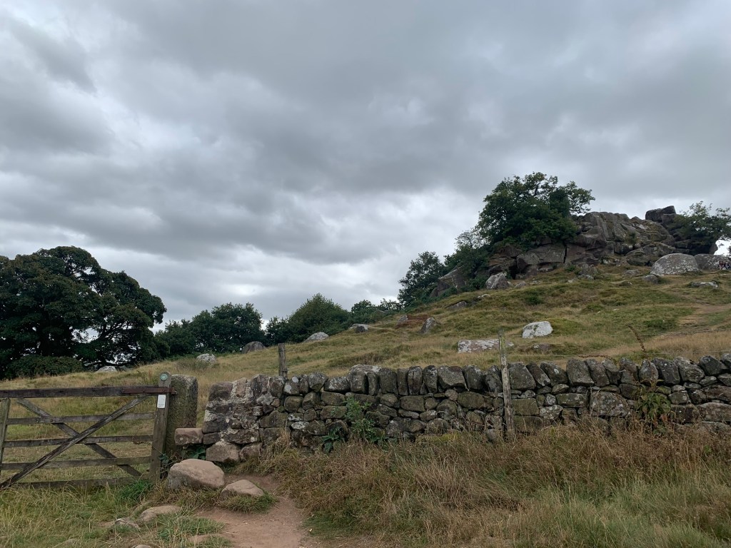
Straight ahead of us we can see the wooded side of Stanton Moor with the television mast poking out above and, much closer, as we turn right along the lane, the rocky outcrop of Robin Hood’s Stride soon comes into view.
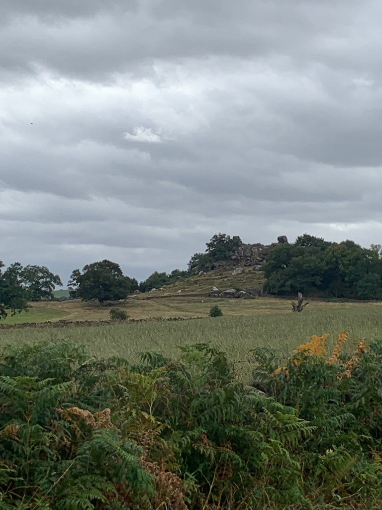
Once again we’re walking through ancient sites with stone circles to both sides of the lane, and then once again we are back on The Portway as we pass the peculiar shaped rocks of Robin Hood’s Stride on our right and the path to the hermit’s cave under Cratcliff Tor on our left before descending.
In his book Stephen Bailey suggests that hermits often lived in caves in lonely places where they could find solitude but which were also near trackways. This way they could also make a living by guiding travellers on their journeys.
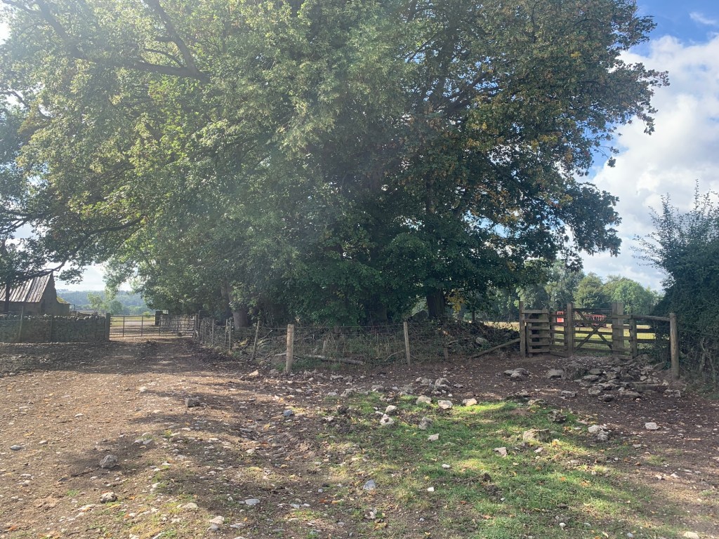
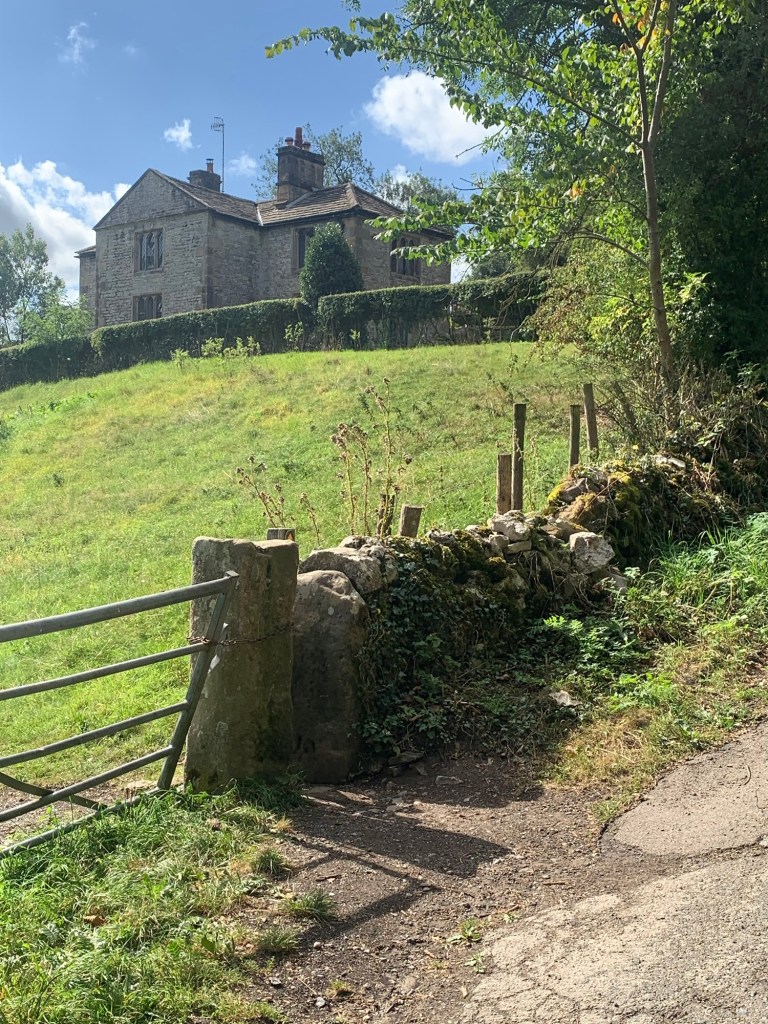
There is a lot to explore in this area and a huge variety of footpaths to follow but for now as we descend the path to where it joins the end of Dudwood Lane we happen to look left and see the steps on the other side of the main road that we’ll shortly be climbing up to get to Birchover.
Today everywhere is as dry as dust but during and after spells of wet weather I would NOT recommend these steps as they can become very muddy.
[So, just in case, the wet weather alternative is to walk up Dudwood Lane away from the main road and to turn left onto the first footpath just before a building, cross the field, cross the road and continue on a broader, more slowly ascending and better drained path into Birchover village.]
Today though we turn left across the main road at the bottom of Dudwood Lane and keep a close look out for a green finger post, cleverly hidden in a green hedge on our right.
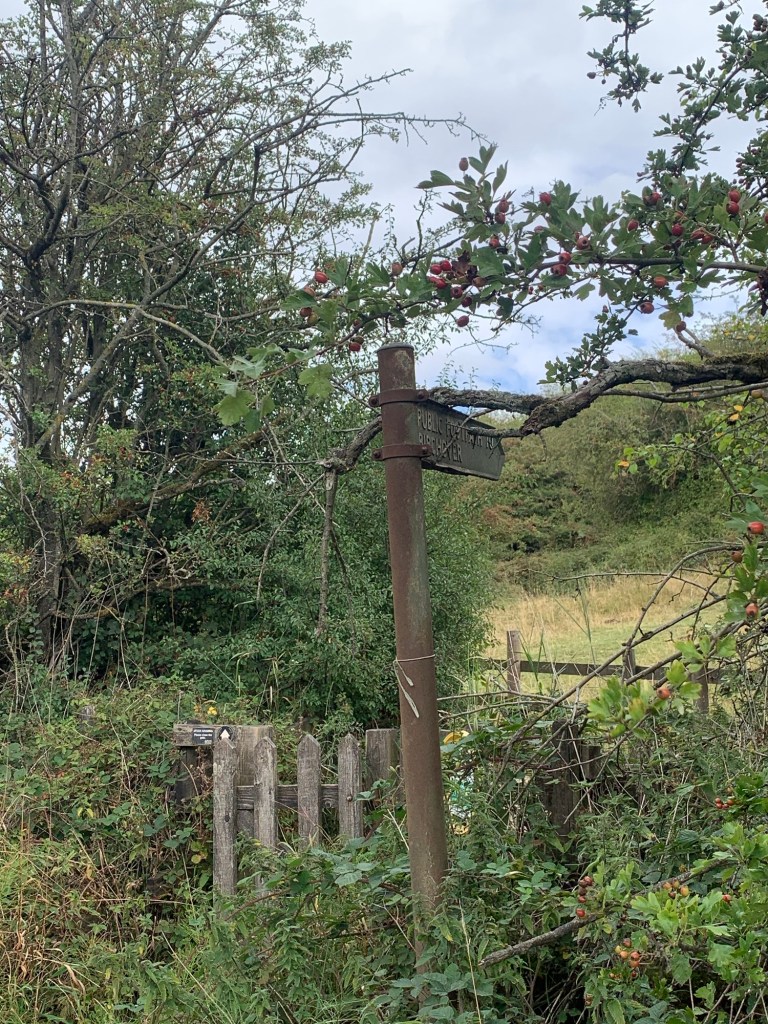
before heading up the aforementioned steps and onto the track to the village.
We are heading for The Druid pub for refreshment and just beforehand we pass the way into Rowter Rocks,
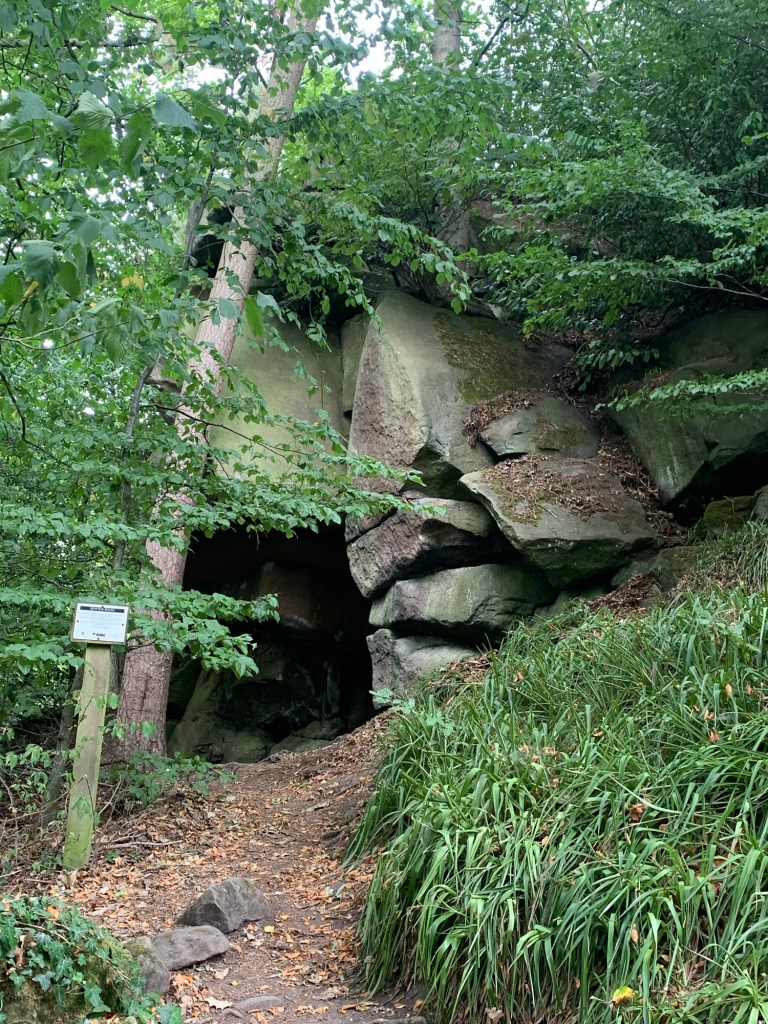
a jumble of strange shaped stones and caves complete with carvings and with supposedly Druidic associations.
The man behind the carvings and some of the caves was apparently non other than the local vicar back in the 17th century who seemed to be a dabbler in the occult and paganism in his spare time; an unusual hobby considering his day job, to say the least!
And on our right is the little church built by the same guy, obviously hedging his bets.
Anyway, no weirdos in the pub thankfully …apart from those two women who are walking through the alphabet in the Peak District. The place has a good feel to it and a friendly barman. We enjoy a drink with a very nice freshly made sandwich and all at a good value price.
https://www.peakdistrictonline.co.uk/birchover-history/
Coming out of the pub we head along the main street of the village where most of the cottages are built using the slightly pinky coloured gritstone of the local quarry. We pass the other pub, The Red Lion and at
an old chapel on our right
we turn right onto Uppertown Lane passing the playground and walking out of the village.
Just opposite the first building up the lane on our right ( notice the old stocks which have been restored) we turn left
onto the cart track which we follow for the next few kms.
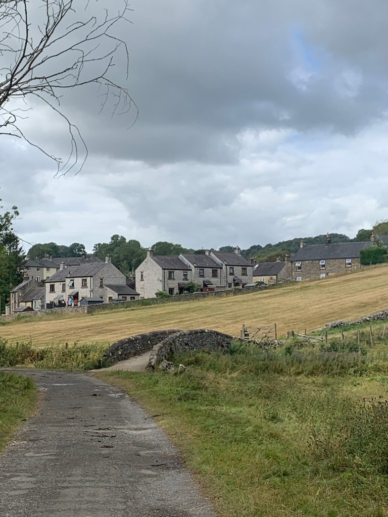
There’s a great view across the valley towards the village of Winster which we duly note as a potential “W”, before we’re engulfed by the trees of Clough Wood.
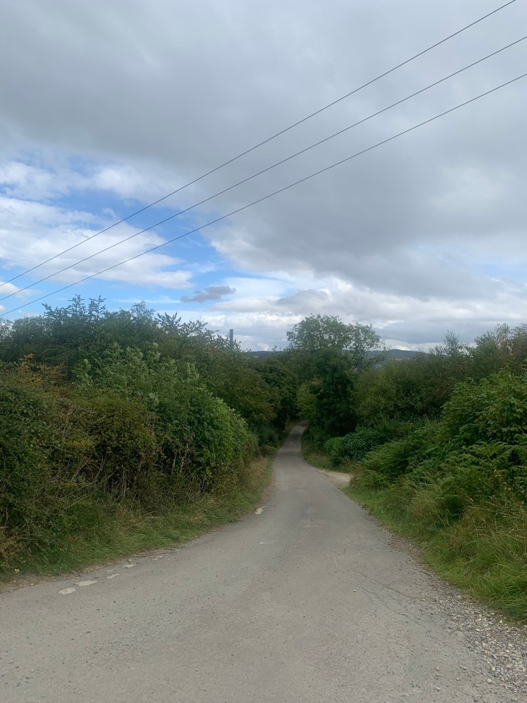
Passing through the woods on the undulating path, always keeping straight on
we eventually begin our descent towards Darley Bridge heading straight ahead when we pass a sign on the left to Sabine Hay Farm, which, out of the way spot, is the annual home to the Exile Music Festival.
https://www.exilemusicfestival.co.uk/location-info
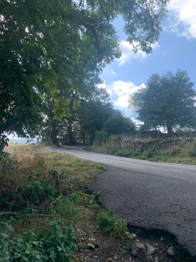
Continuing straight ahead and then bearing left as the track becomes a metalled road
we see a young deer wander across the way in front of us and then become aware of a hidden factory humming away in the trees over to the left. There’s nothing to see from where we are but we’re actually passing the largest lead recycling works in Europe!
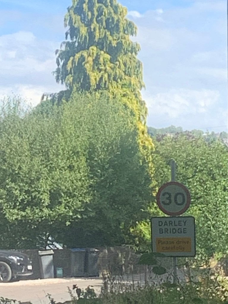
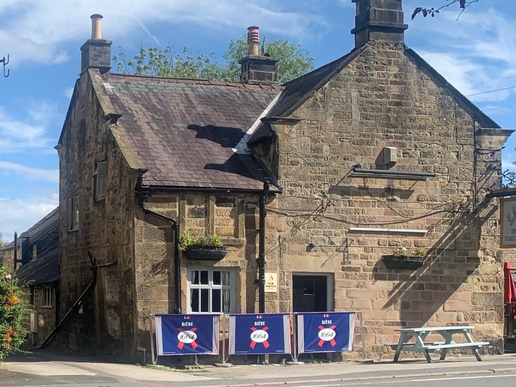
By now our route has joined Oldfield Lane and we’re soon at the T junction with the main road through Darley Bridge and directly opposite the Three Stags Heads pub.
Turning left past the houses we spot the actual bridge and then cross it, looking at the low water level of the Derwent below.
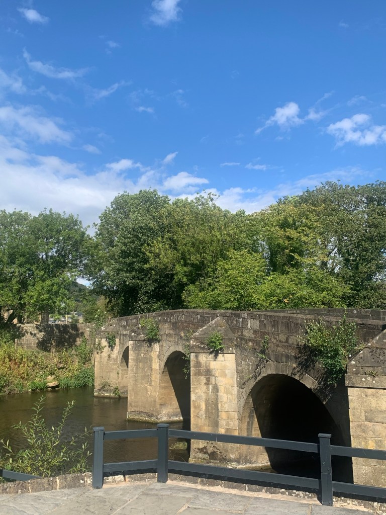
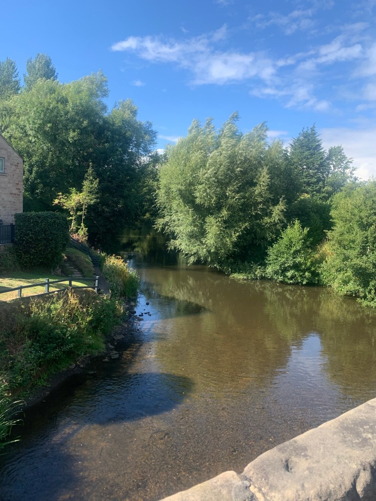
There has been a bridge here since at least the beginning of the 16th century and even today it’s still the only way over the Derwent between Matlock and Rowsley.
For more info on the history of this local area and a couple of old photos visit…
https://derbyshirepostcards.co.uk/darley-dale/
On the other side of the bridge is another pub, The Square and Compass
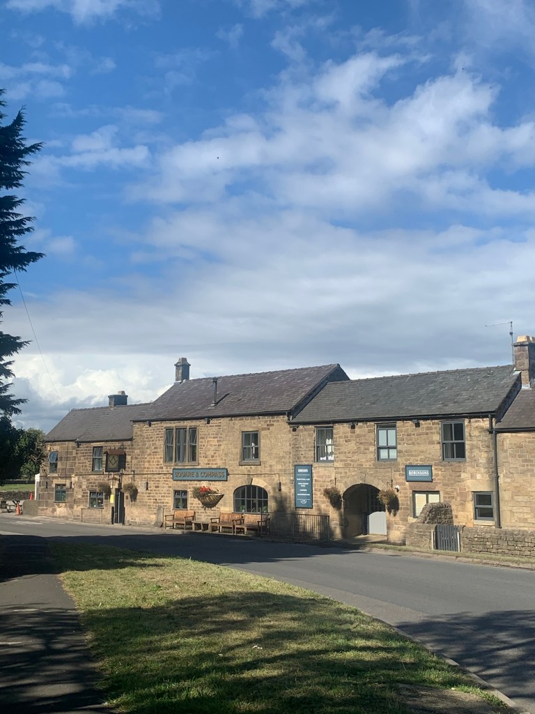
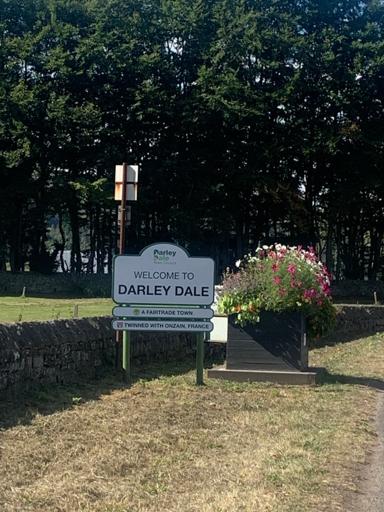
But we keep along the left hand side of the road as the road sign tells us we’re now in Darley Dale, ( more Ds)
and we’re on the lookout for another well camouflaged green finger post
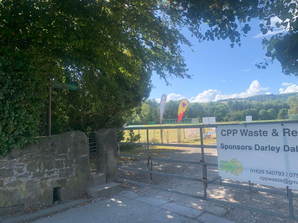
which takes us past the cricket ground and along a field path by a stream.
This unremarkable looking stream lays claim to having been the earlier course of the River Derwent which has apparently changed its route around here over the years.
On emerging onto another lane
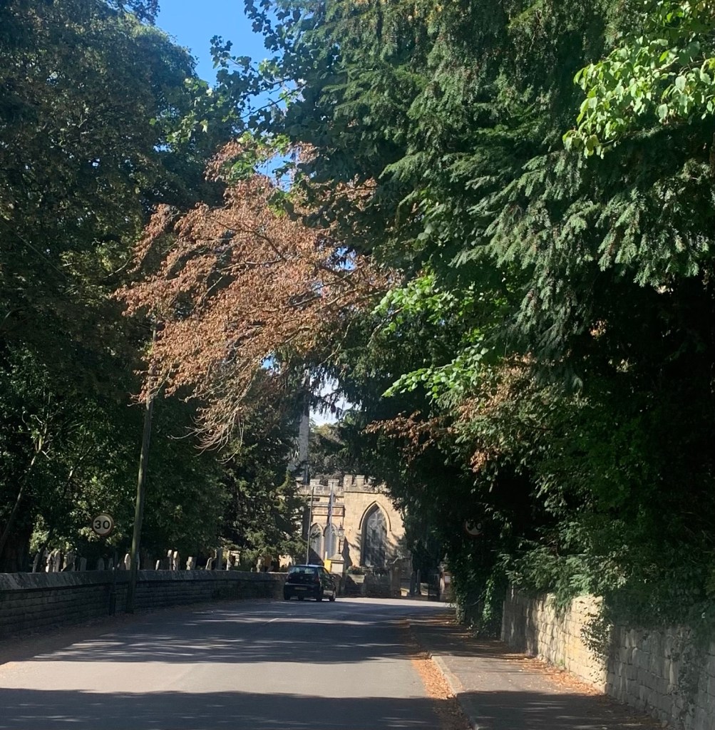
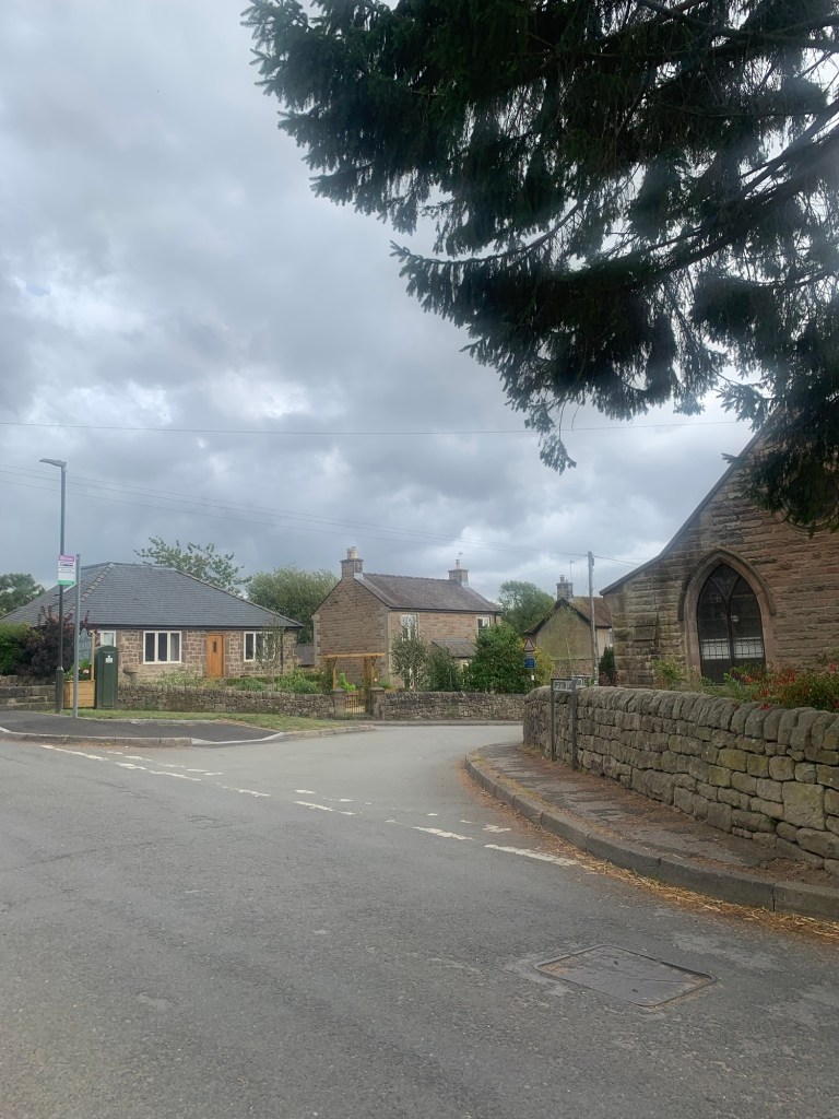
we head past St Helen’s church, the Church of Churchtown,
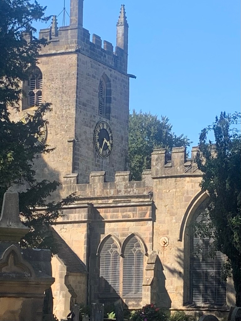
with its huge yew tree and then over the level crossing ( the Peak rail steam engine passes this way between Matlock and Rowsley, and sometimes even has Santa on board!)
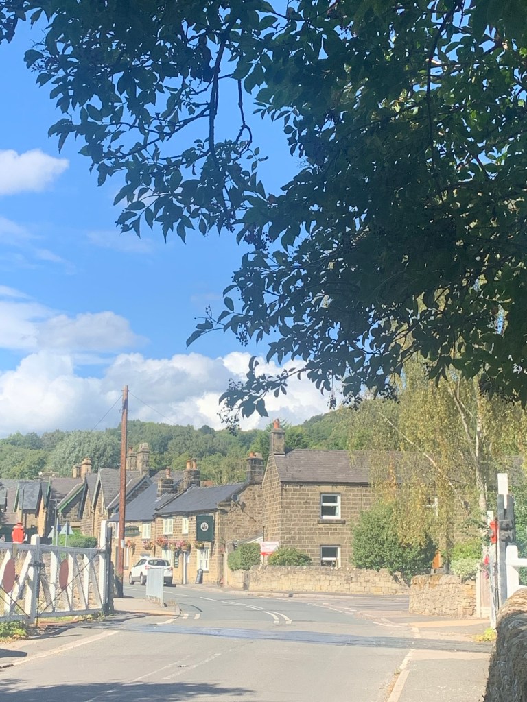
and here we are in Churchtown outside one of our favourite pubs, The Church Inn, …….which isn’t quite open yet.
Sometimes known as Darley Churchtown this small settlement has interesting stories galore:
https://oldroadsofderbyshire.com/2021/12/21/the-darley-mystery/
It’s been an enjoyable and straightforward forward day so far and we consider sitting outside in the beer garden across the road from the pub and waiting for opening time…and then sensibly/unfortunately we check the bus times and notice that one of the Sixes ( the buses that travel along the A6 between Derby and Bakewell) is due soon from the main road.
So we walk up Green Lane ( first right past the pub)to the bus stop which is on the left at the top of Green Lane.
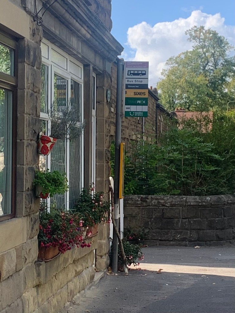
We wait and wait and we wait some more but nothing happens!
Of course we don’t want to miss it so we don’t go back to the pub but in retrospect that’s exactly what we should have done. And afterwards we should have continued our walk on the cycle path alongside the railway track and then onto the Derwent Heritage Trail to Rowsley ( as marked on the map.)
And we would still have been in time to catch the same TransPeak bus that we eventually catch from Green Lane end, ( the Six never showed.)
But never mind, once we get to Bakewell we’ve just enough time to grab a takeaway coffee and a reduced price bun from Pasties and Puddings,
https://pastiesandpuddings.com
before our 218 arrives and departs bang on time (yet again) and takes us back home after another wonderful Peakland walk.
D IS FOR DARLEY BRIDGE
TRANSPORT
Bus 218 or 257 to Bakewell
Return from A6 near Church Town or Rowsley on one of the Sixes or TransPeak to Bakewell and then on 218/257 back to Sheffield
PUBS/CAFES
in Birchover: The Druids, The Red Lion
in Darley Bridge: Three Stags Heads,
The Square and Compass
in Church Town: The Church Inn
HOW FAR?
Approximate distance 22k
ROUTE SYNOPSIS
Bakewell, Alport,
Robin Hood’s Stride, Birchover, Darley Bridge, Churchtown, ( Rowsley)
MAP
OS White Peak
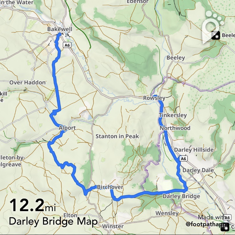
https://footpathapp.com/routes/B03A817D-87F8-4407-A339-F56A58C5C5D2

Leave a comment