Today we start with a train ride along our favourite Hope Valley line to Edale station.
Edale, famous for being the starting point of the Pennine Way, is generally thought of as being a village but it’s really the name of the valley of the River Noe and also the name of the parish.
The name of Edale is thought to be of Anglo Saxon origin and the name of the River Noe is Gaelic.
Apparently Edale meant “valley of the river “and Noe meant “daughter valley”, probably referring to its relationship with the larger Hope Valley.
The settlements in the valley are known as “Booths” and were originally scattered huts and bothies used by shepherds and herdsmen.
The Booths were temporary at first, moving at times as various areas of the valley were cleared for grazing and shelter.
Then over the years they grew into more permanent farmsteads and hamlets.
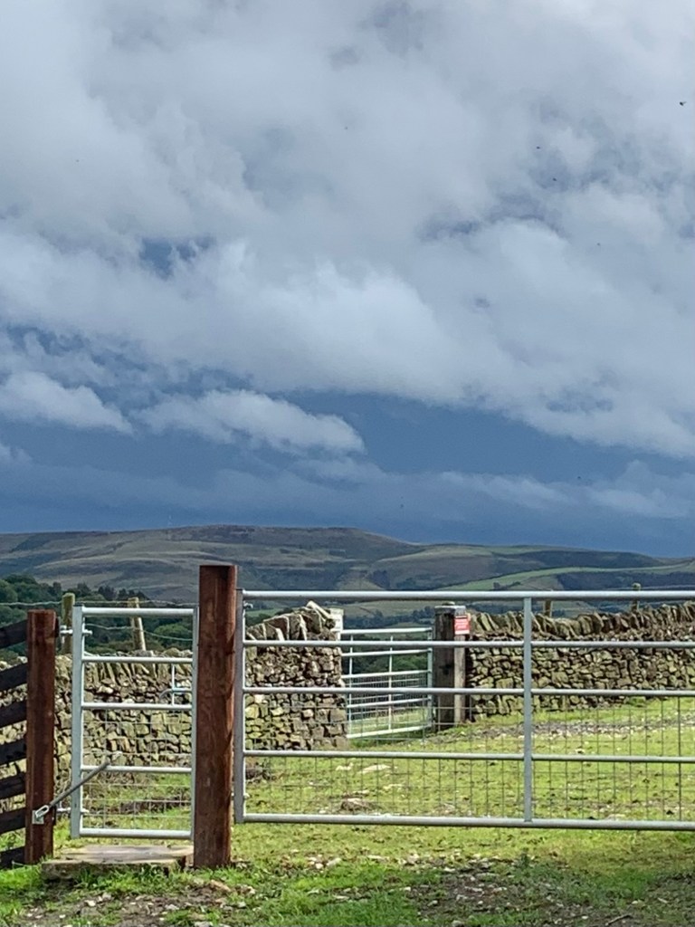
Today we’re planning to visit all the “Booths” and then to follow the valley of Edale to where it joins the Hope Valley.
I’d particularly recommend this walk if you’ve got to Edale only to find the weather is unsuitable for heading across the wild and boggy terrain of the Kinder plateau….or if you just fancy something different to the more popular treks up Jacob’s Ladder or Grindslow Knoll.
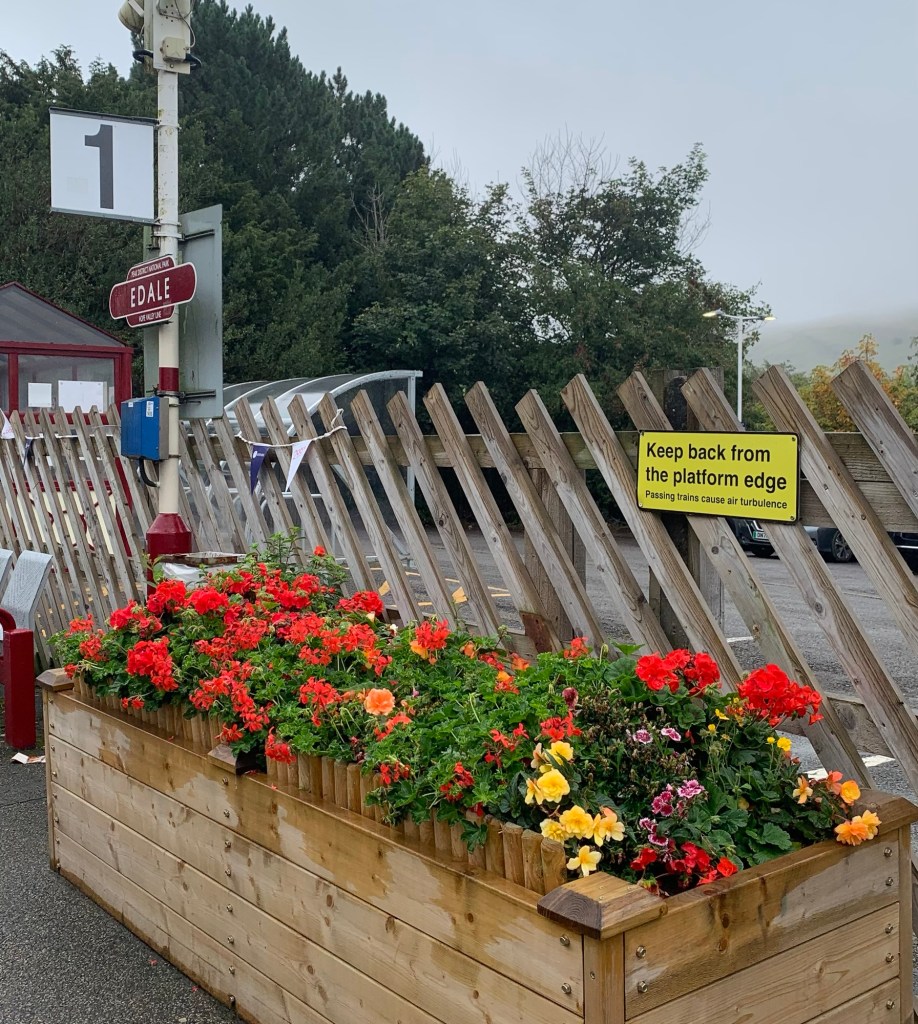
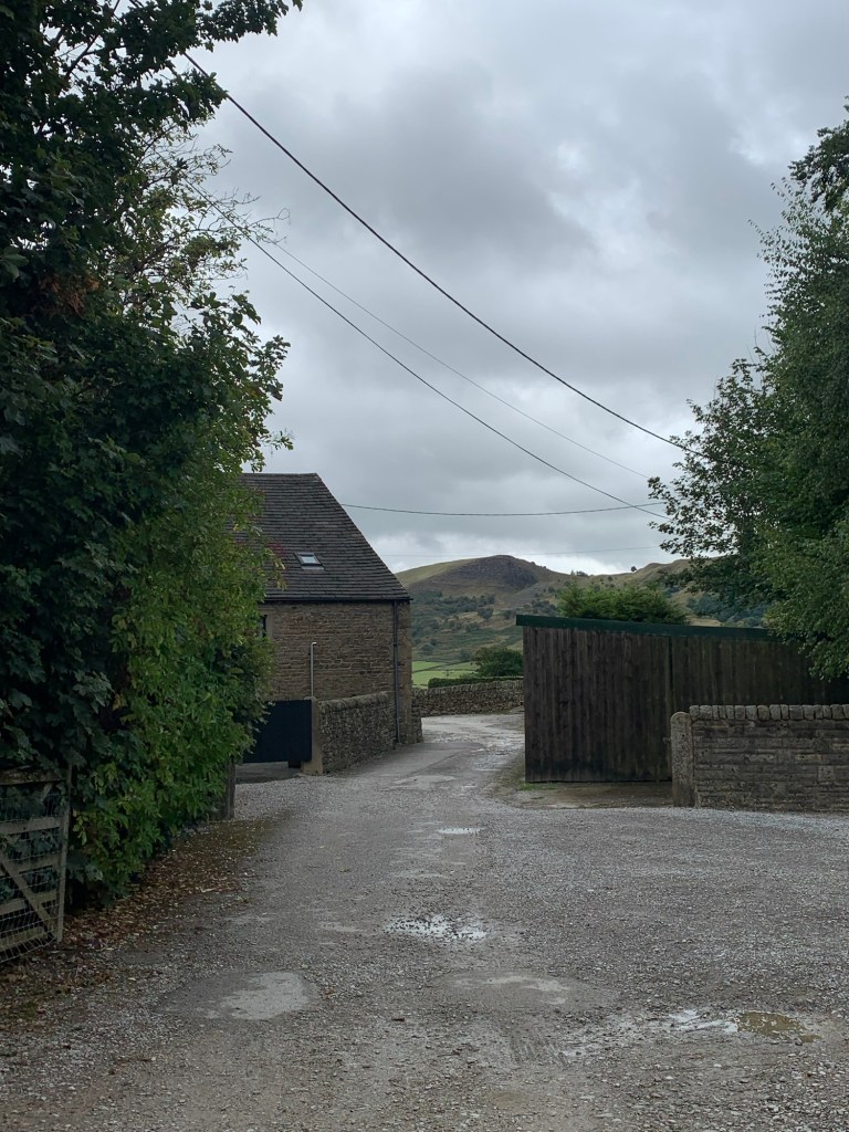
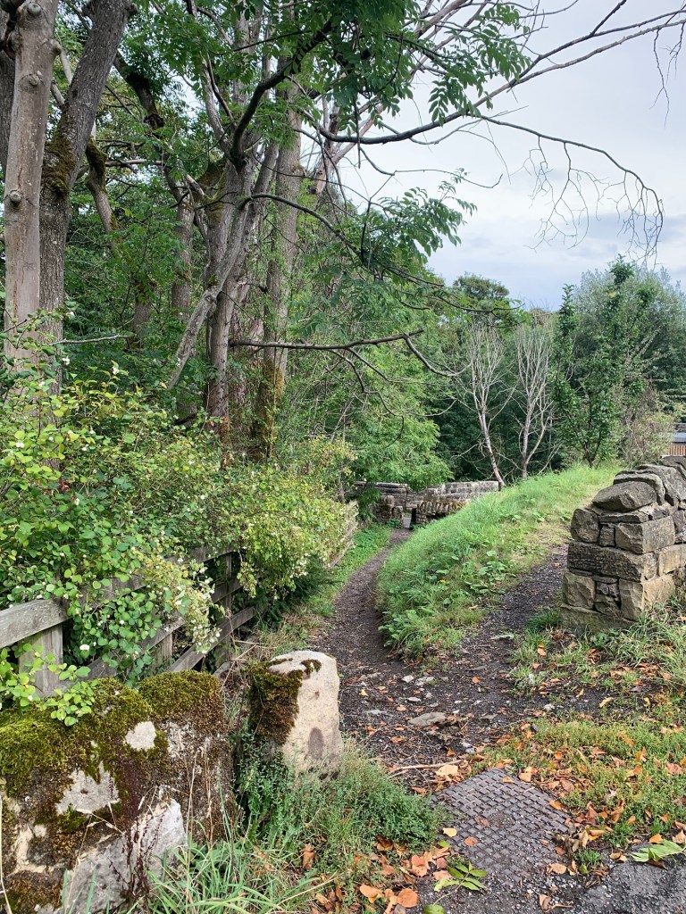
From Platform 1 we go through the tunnel under the railway, dodging the entrance to the Penny Pot Cafe in case we get distracted before we even start.
Heading up the road we now pass another potential distraction in the form of the Rambler Inn

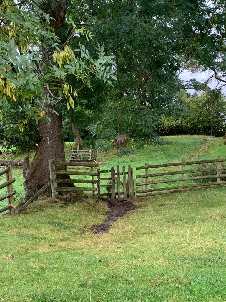
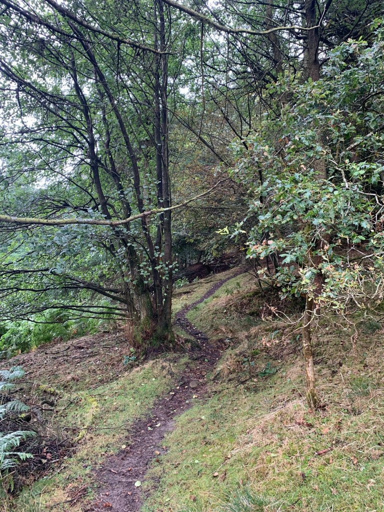
Then, a little way up the road, near The Peak Centre, just where it bends to the right, we turn left along the field path towards Barber Booth, the first Booth of the day.
Partway along our path it’s joined by another path coming in on our right. We have to avoid the obvious looking track to the farm straight ahead, and keeping to the left with the farm on our right, we cross over a small stream.
After this the path runs parallel with the railway line until we cross it and arrive in the hamlet itself.

Clues in the names of some of the houses hint that there were more facilities here in days gone by and apparently there was a temporary population boom here during the time when Cowburn railway tunnel was being constructed.

Today there is still a functioning chapel. It dates from 1811 and besides serving the local community, in the past it would also have been used by travellers on the trans-Pennine pack-horse route that ran through here.
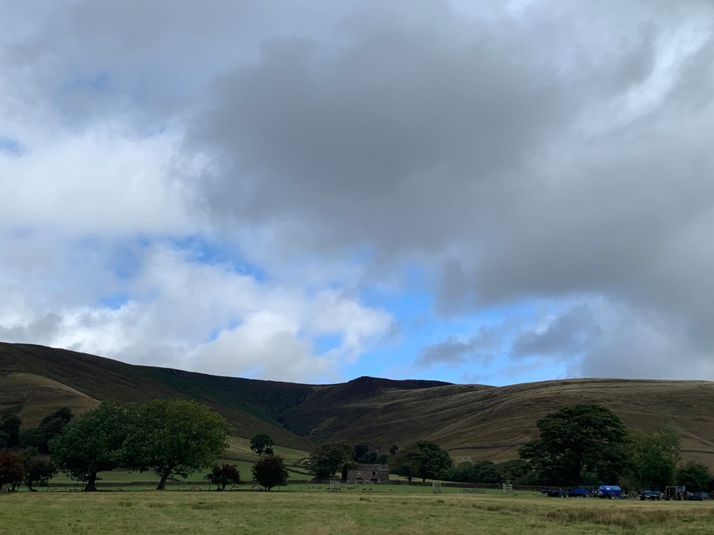
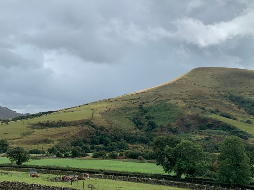
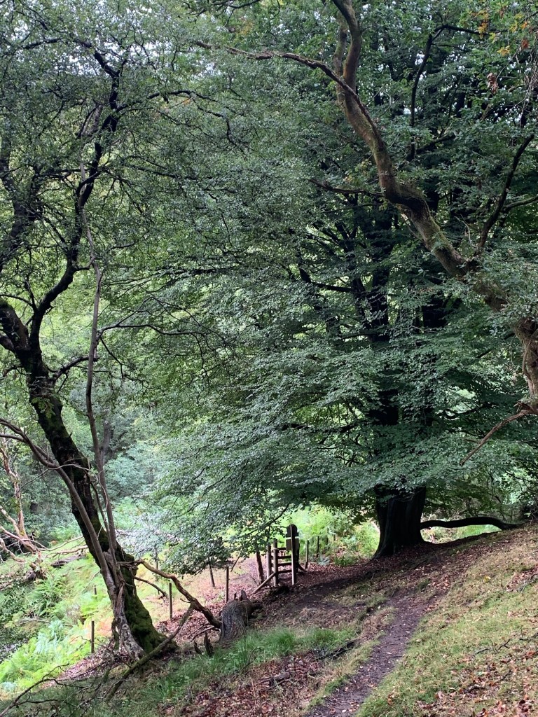
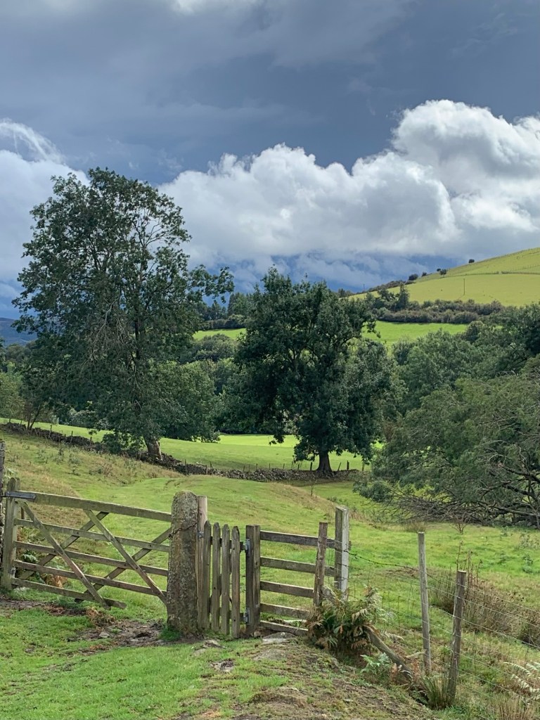
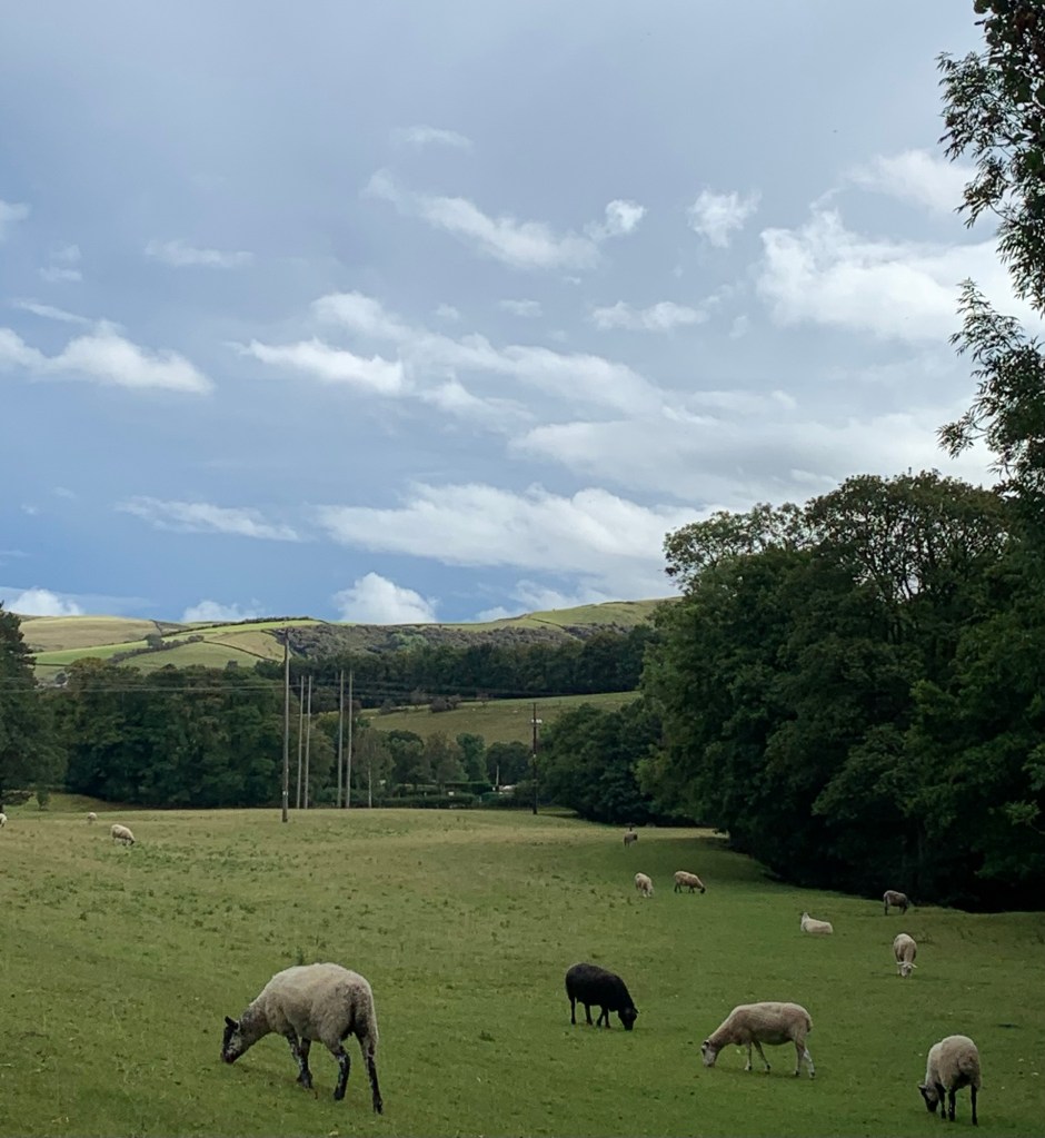
After passing the chapel we cross the railway again and catch a glimpse of the River Noe before heading up through the fields to Booth number 2, aka Upper Booth. Crowden Clough and the steep slopes of Broadlee Bank Tor peep eerily through the cloud.
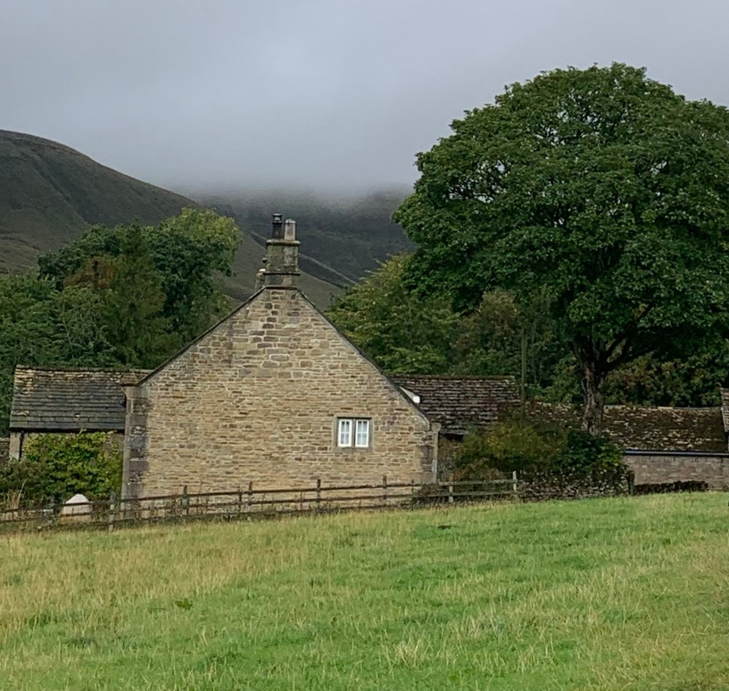
Upper Booth is an even smaller settlement than Barber Booth being mainly made up of a farm and associated buildings. It’s the western-most of the Booths and nearest the head of the valley, so, pretty remote really.
It’s also the end of the road ( metalled road that is) but at the same time it’s very much on the Pennine Way via the Jacob’s Ladder track which is also a popular day hike and was a pack horse route in days gone by.
So maybe it’s not surprising that there’s a campsite here.
It was also the location of the first Youth Hostel in Edale, predating the existing one by around six years, see the lovely old photos at:
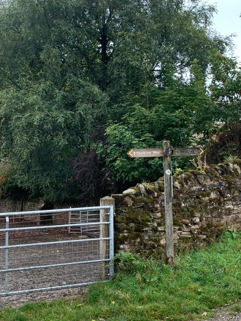

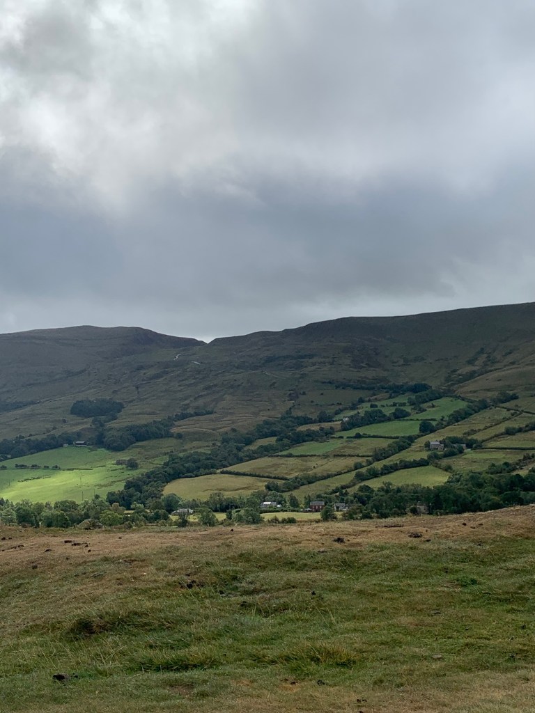
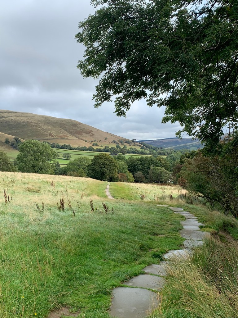
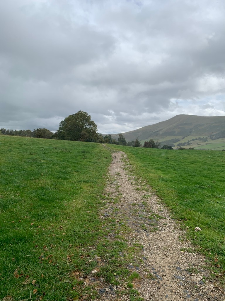
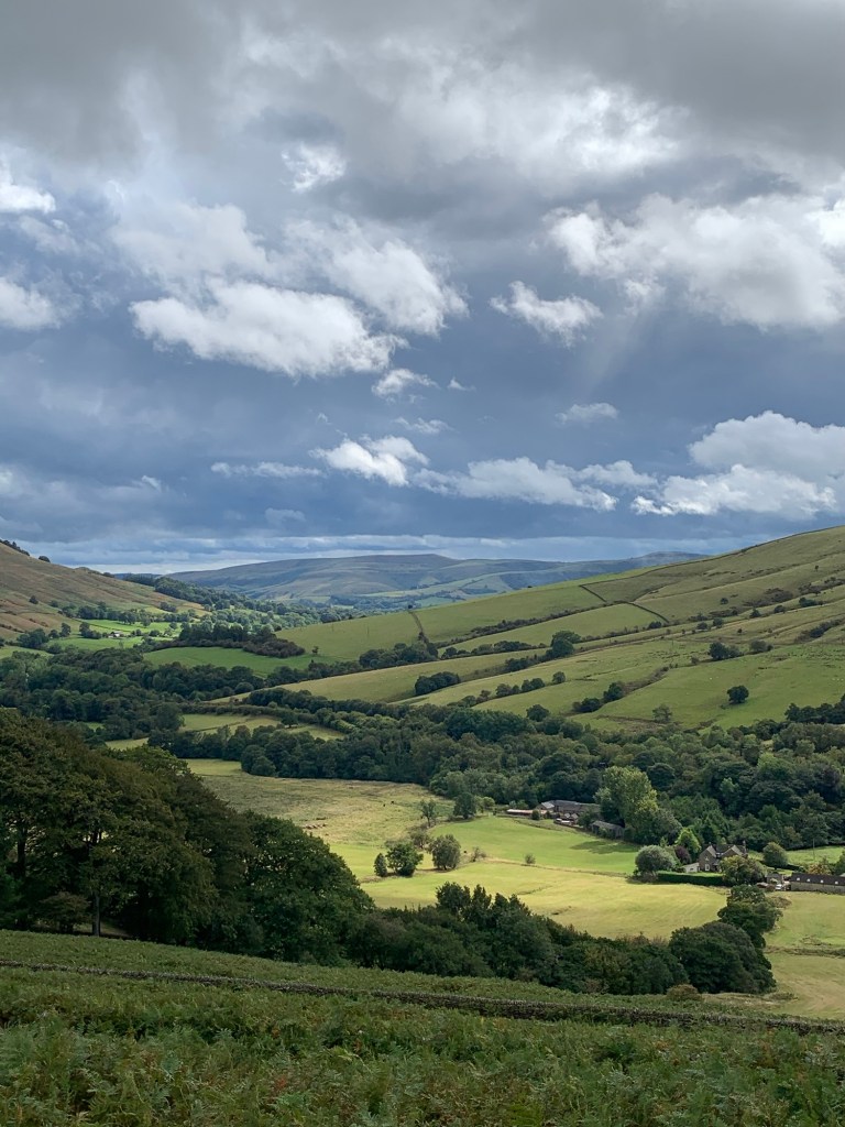
We turn back along the Pennine Way footpath towards Grindsbook Booth and what’s been a gloomy day weather wise gradually starts to improve with the surrounding scenery slowly revealing itself as we begin to walk down the dale.


Unsurprisingly since it’s part of the Pennine Way, the path is easy to follow, even though we’re heading back towards the start of the route ( ie going “backwards “!) rather than heading onwards towards Scotland.
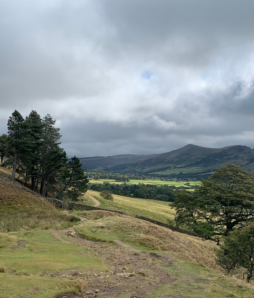
As we get nearer to Grindsbrook and Ringing Roger comes into view, the path is flagged, ( I love flagged paths!) and there’s even a bench if you fancy a breather to take in the sights of this most beautiful valley.
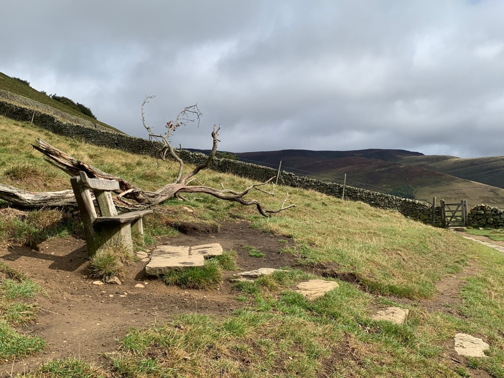
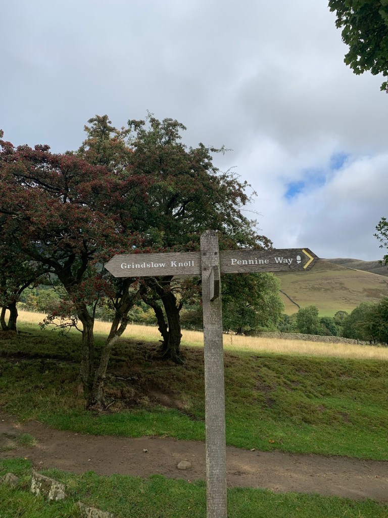
Descending towards the village we pass a path to our left which climbs up onto Grindslow Knoll and the top of the Kinder Scout plateau.
We head down right , along by the stream until we emerge opposite the famous old coaching inn, the Nags Head, which used to be run by the countryside access campaigner Fred Heardman, situated next door to the village school.
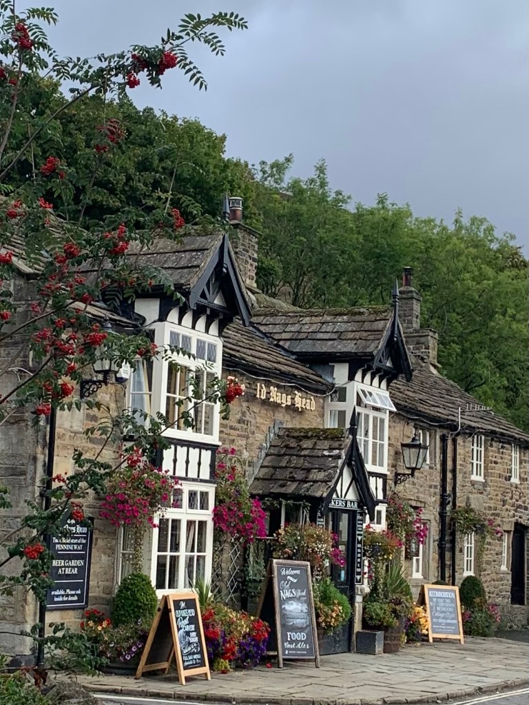
It’s easy to see that Grindsbrook Booth is the hub of all the Booths and understandable that this is where most people think of when you mention Edale.
We do a right and get a cuppa in the
Newfold Farm Cafe and I feel nostalgic for the days when the cafe situated here was housed in an old railway wagon and called Coopers. It’s a lot posher now and I’m sure it’s cleaner too, but you don’t get a pint mug of tea like you used to.
There’s also still a general store here in what also used to be the Post Office but that’s definitely changed a bit too. Back in the era of Coopers you’d be lucky to be able to buy a can of beans here but nowadays it’s local produce, fresh fruit, vegan options, you name it, they seem to have it.
Moving back to the here and now and refreshed after our break, we head down the road, past the church
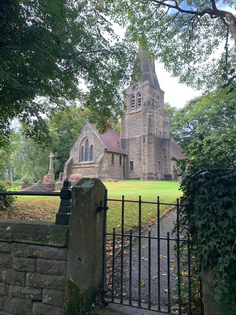
and then just opposite the white house
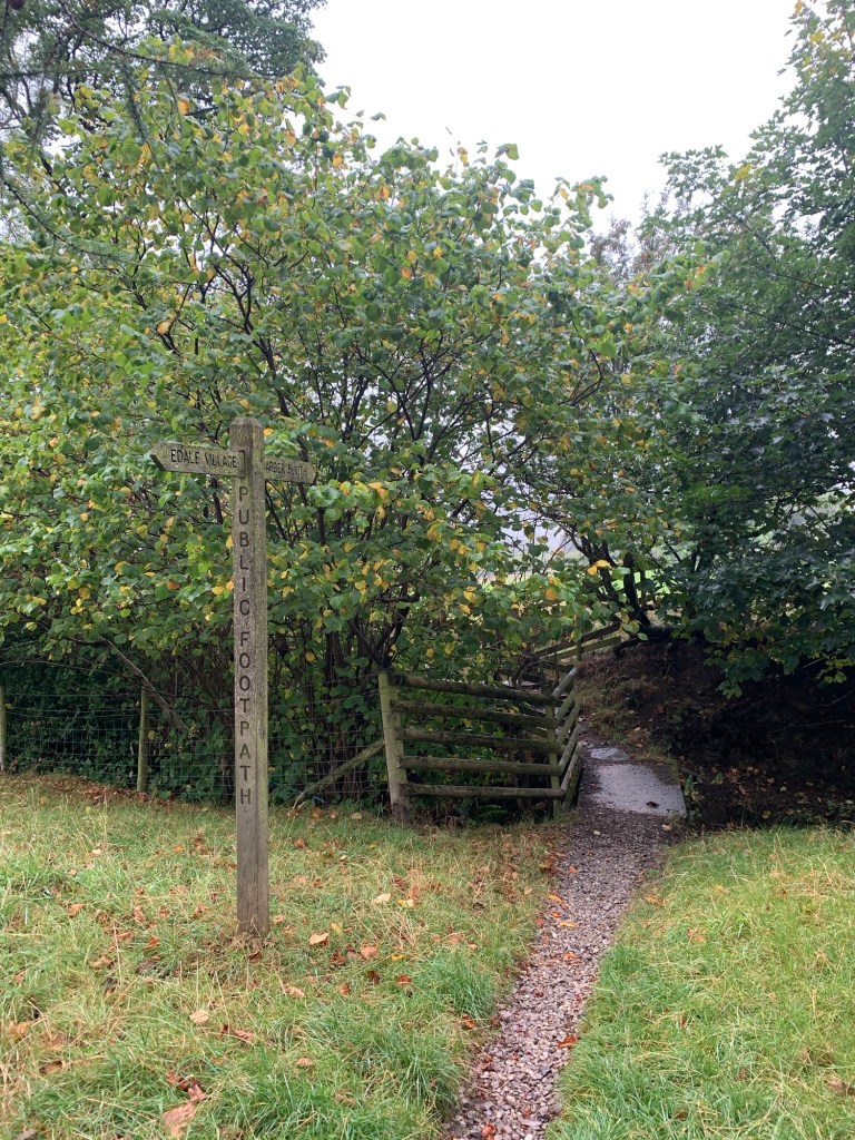
we turn left by the edge of the graveyard and we’re on the path towards Ollerbrook Booth.
I’ve always thought that the path through Ollerbrook Booth to Nether Booth feels as though it was the original road up the valley, it’s a lovely path with an ancient feel about it.
This hunch seems to be born out by the general opinion that the modern road was built in the late eighteenth century at the same time as the cotton mill was constructed by the river Noe (in order to benefit from the water power).
As with many of the old industries of The Peak I find it really hard to imagine a cotton mill in Edale but if you do travel along the main road along the valley you can still see the old mill buildings, now private apartments and the old mill cottages making another small settlement in the valley ( ….but it’s not a Booth so we’re not going there today!)
Nether Booth is the last of the Booths and is cut in two by the current main road.
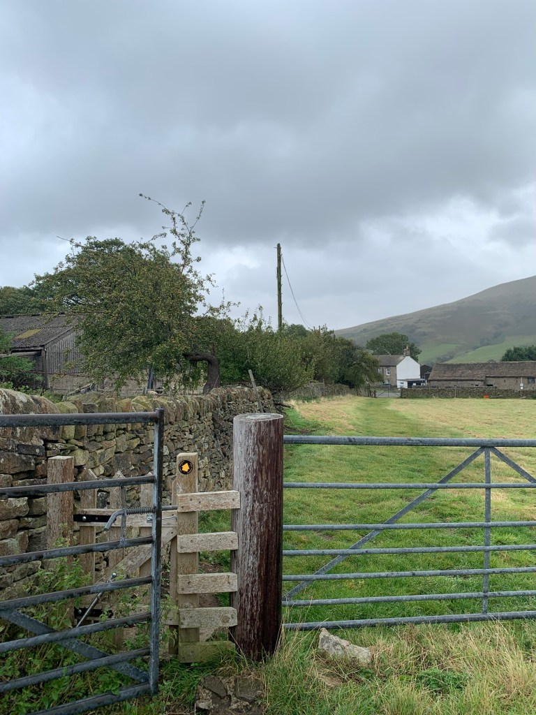
Just before we arrive at the road we cross the track which heads up to the Youth Hostel, Rowland Cote which has been a constant feature of the valley since 1945.
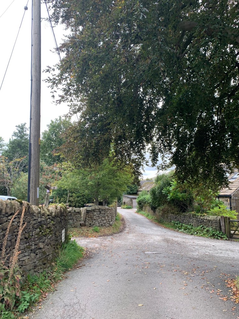
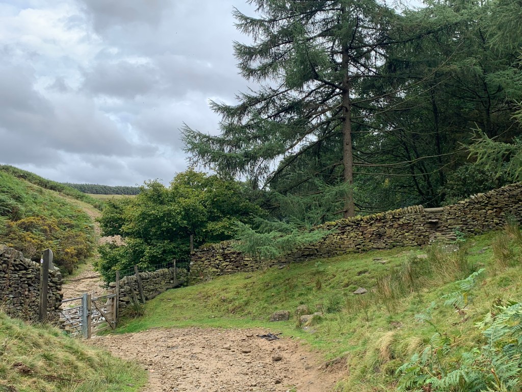
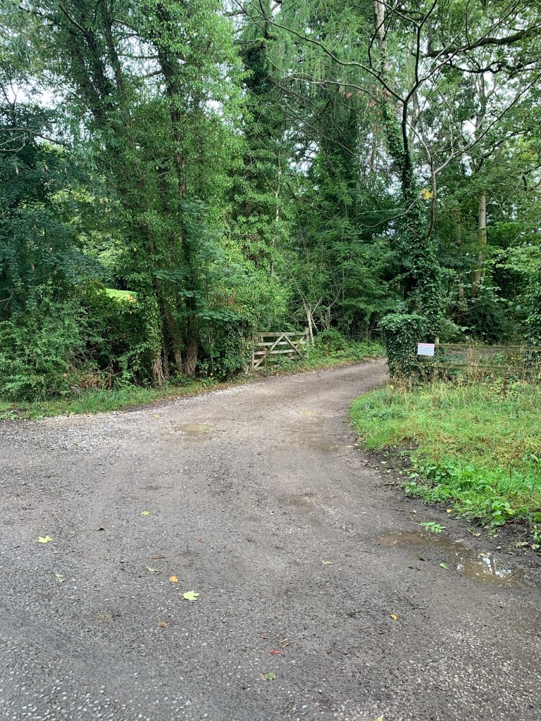
At the main road we turn left and after a few hundred metres we branch off to the left onto a magical looking old track past Clough Farm.

A clough is an Old English word meaning a steep sided valley or ravine. There are any number of Cloughs running down on all sides of the Kinder plateau.

We gain height and as we climb higher up the valley side, soon the higher path from the hostel joins from the left.

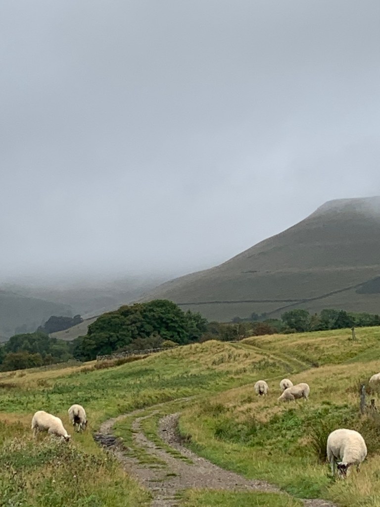
The weather is fine at the moment and the lighting spectacular which makes the surrounding hills look even more splendid than ever.
Next, the path makes a steep descent as we drop into Jagger’s Clough, named after pack horse owners, not the Rolling Stone.
It’s difficult to believe today when there’s hardly a trickle of water coming down the Clough, that I once was stuck here, unable to ford the stream without the water going well over the top of my boots!
It was on this occasion that I discovered the quaint little path we’re now going to take, just to right of the watercourse through the woods.
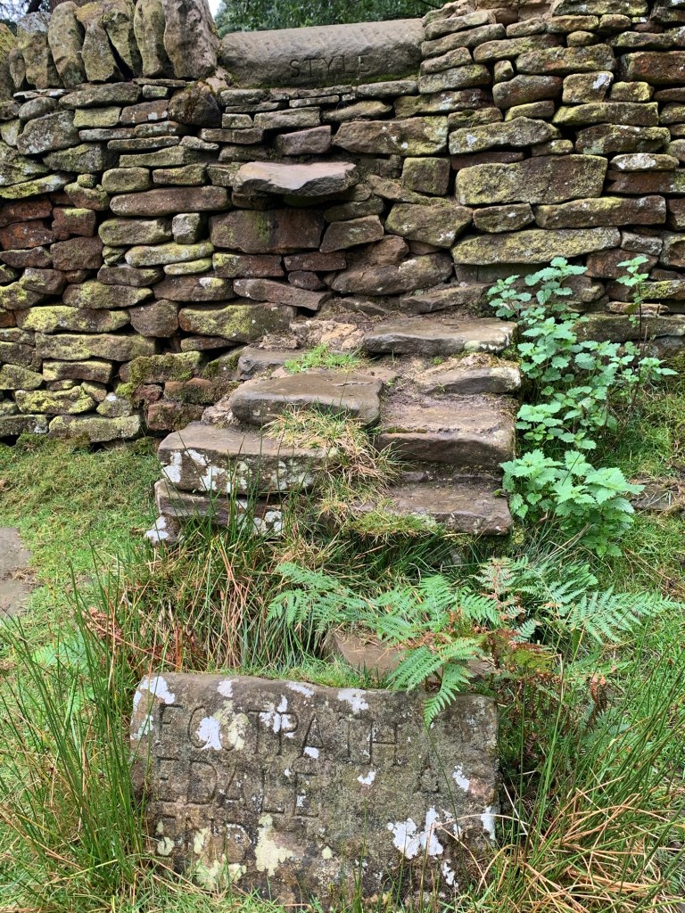
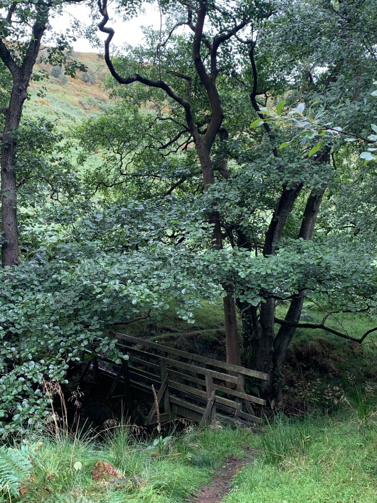
As you climb the stile look out for the carvings in the rock; “style ( not stile) and “footpath Edale End”. For a little used path it’s so well maintained with a lovely little footbridge further down over the stream and then a number of boardwalks before we get to a gate and more carved way markers. This is definitely one of my favourite paths and spotting Lose Hill through the trees from an unusual angle just adds to the enjoyment.
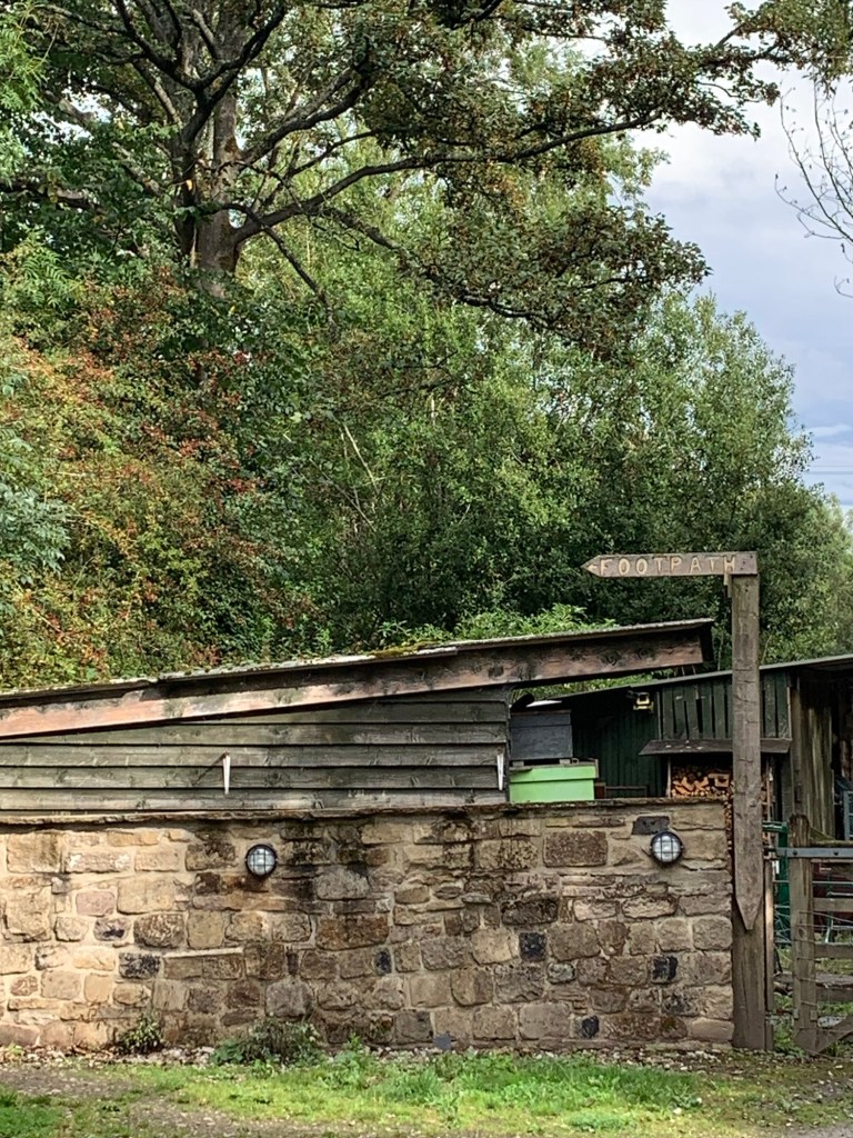
Arriving at Edale End there is an obvious sign pointing to the footpath towards Carr House but as soon as we have passed through the gate at Upper Fullwood Farm we need to turn left down the farm road ( there is a sign pointing towards Hope but it’s hard to make out.)
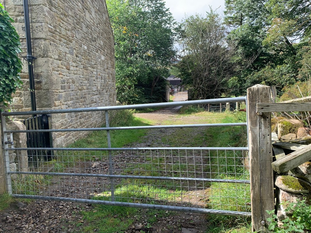
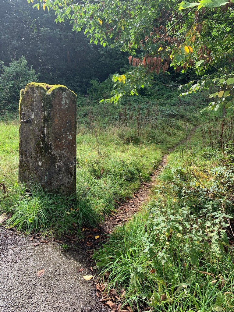
Immediately after we cross the bridge over the Noe we turn right ( no signage) by an old stone gatepost, along a narrow track which climbs up to the road.
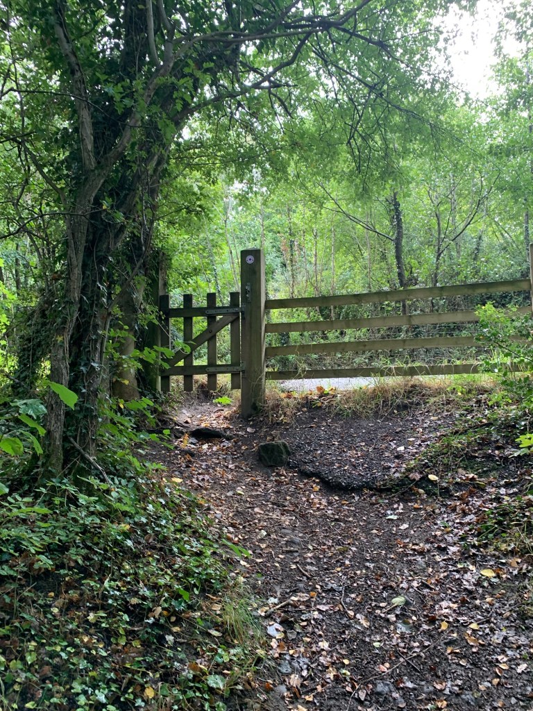
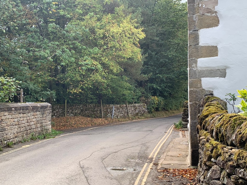
We turn right along the road very briefly before turning left and taking the tunnel under the railway.


From time to time today we’ve noticed distinctive new footpath markers for the “Steel Cotton Rail Trail”. This is a fairly recent initiative ( 2024 I think) to link use of the Hope Valley trains with a through walk all the way from Manchester to Dore & Totley Station. It’s such a great idea and so many possibilities for walk/train combinations I’m including the link here for your further reading.
https://peakdistrictbytrain.org/the-steel-cotton-rail-trail/
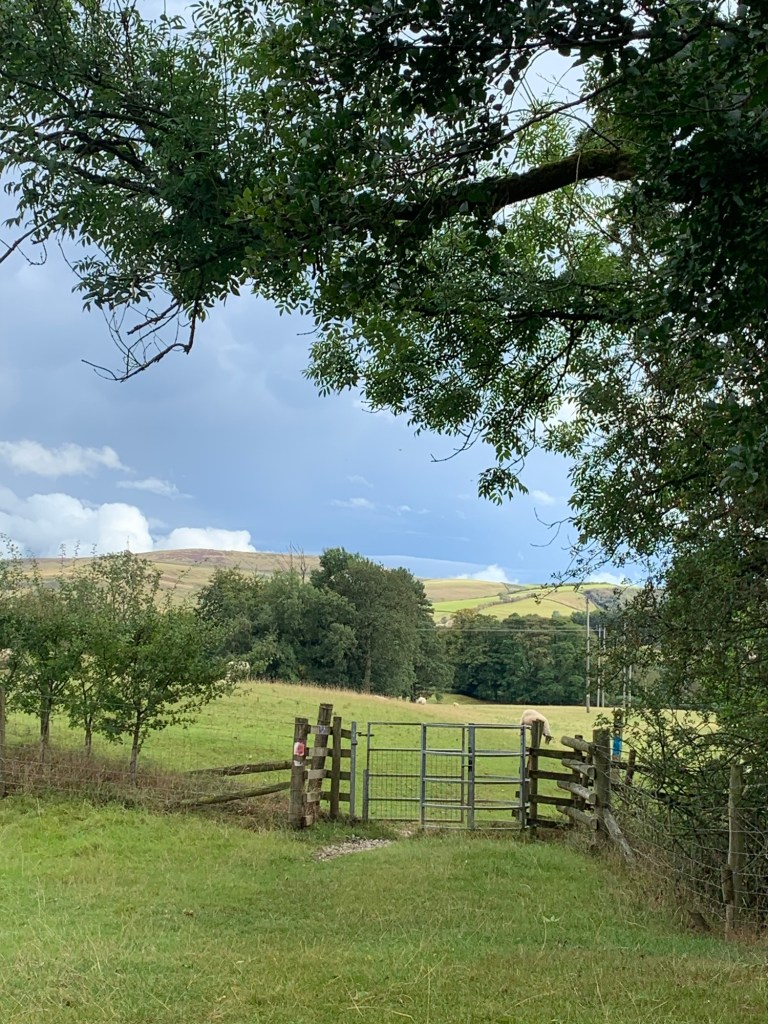
Being observant souls we realise we’ve crossed over now to the other side of the valley and have the road, railway and river all over to our left.
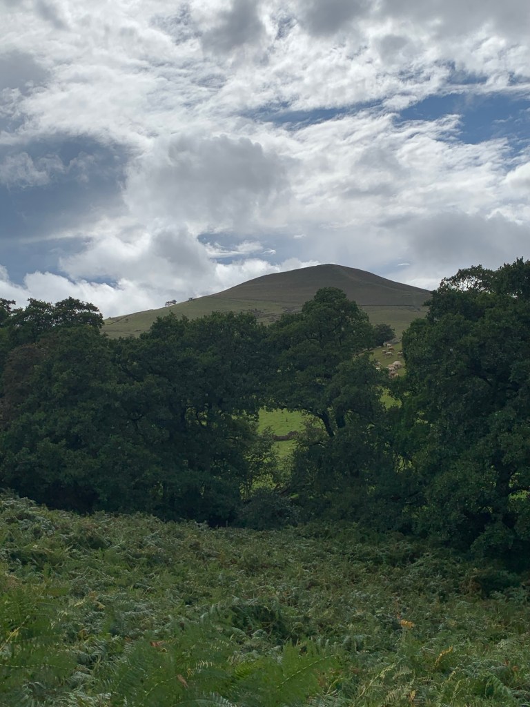
The views are brilliant once again, this time looking over towards Win Hill.
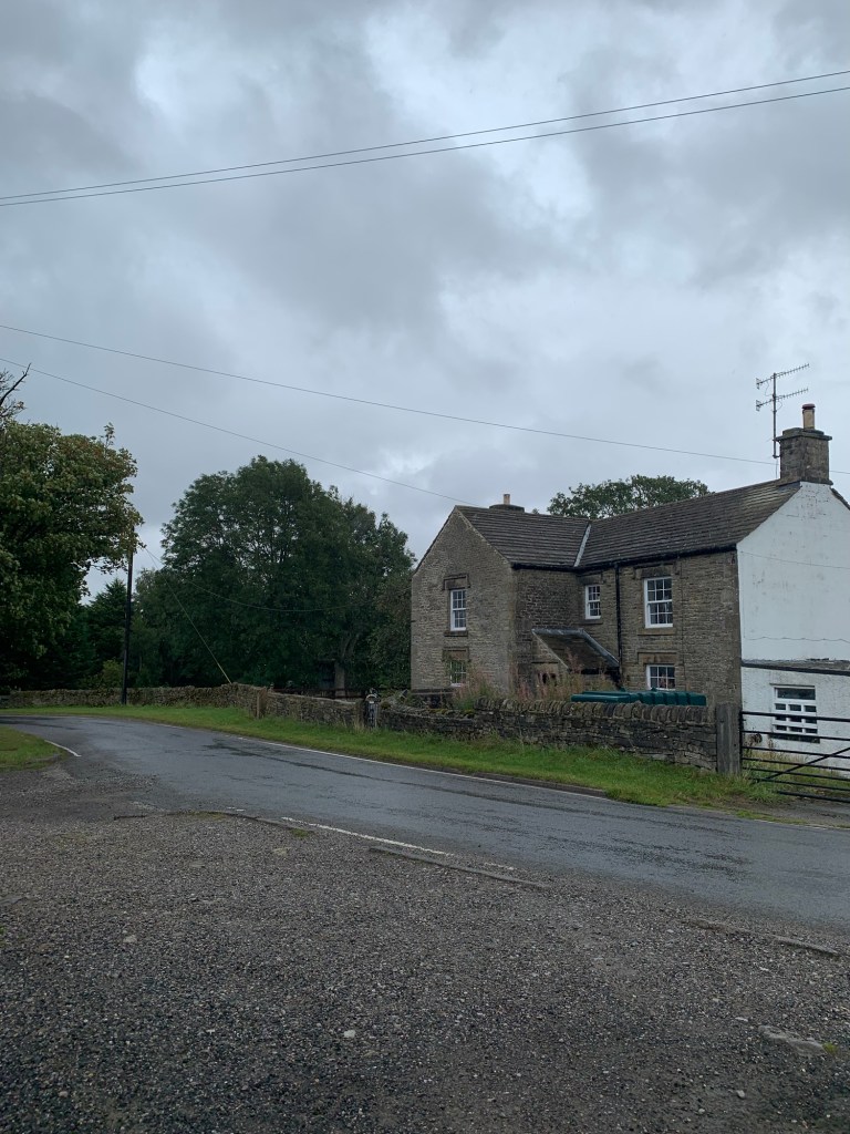
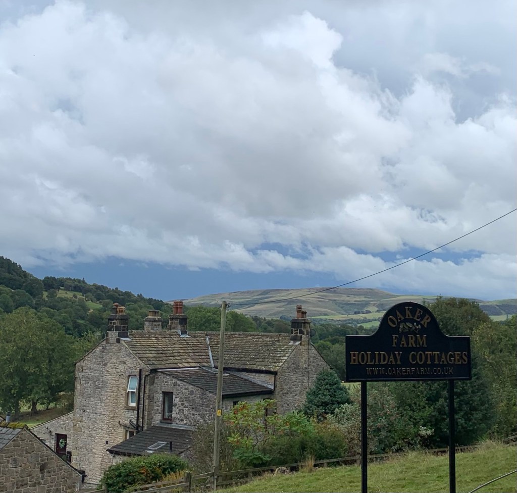
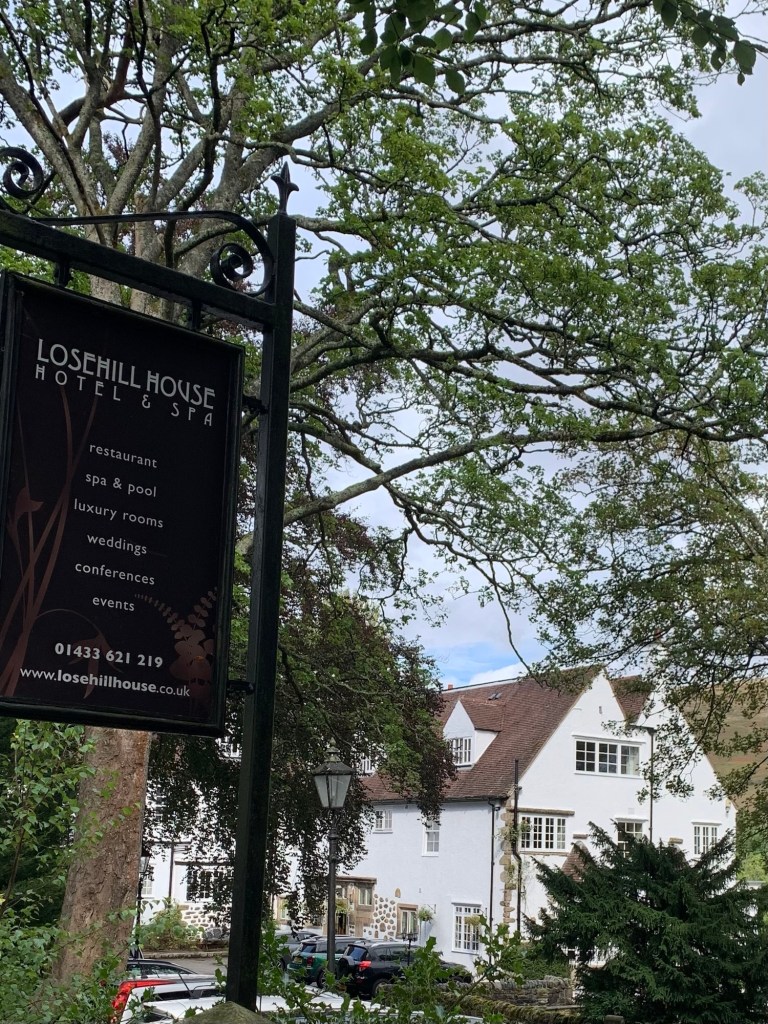
We first pass the traditional Derbyshire gritstone buildings of Oaker Farm before the white painted Arts and Crafts style
Lose Hill Hall Hotel, a getaway for luxury spas and afternoon teas
and then we have a little road walking before reaching the Cheshire Cheese where we pop in for a drink.
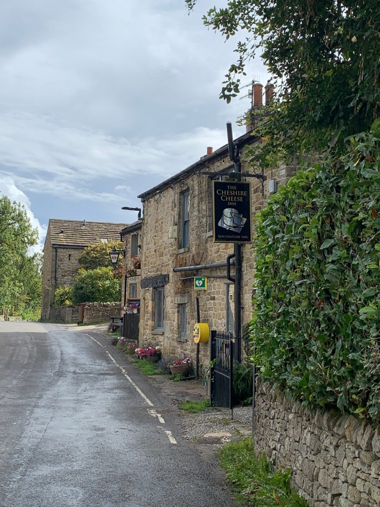
This is one of our favourite pubs; it’s really old, full of history and if you fancy a splendid Sunday lunch, book yourself a table, I don’t think you’ll regret it!
The name comes from the fact that travellers on the old salt route between Cheshire and Yorkshire would pay for their lodgings with cheese! ( and you can still the cheese hooks in the ceiling.)
Do check out the old photos on the walls too.
It’s not really been possible to see much of the River Noe on today’s walk due to the route of the main road and the railway but now just as Edale merges into the Hope Valley we’re going to finish our walk by putting that to rights.
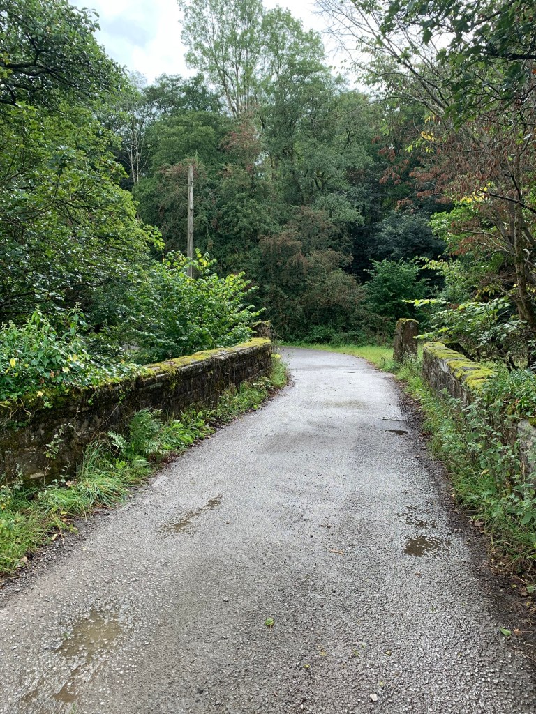
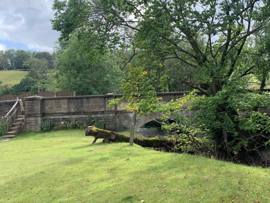
After the pub we continue briefly along the road and then branch left down to Killhill Bridge over the river.
Next right (follow the obvious signs through the buildings) and then we finish up with a stroll through the lovely green pastures by the River Noe before we climb up onto the main A6187 at Netherhall Bridge.
There is a bus stop just a few metres to the left along the road or continue to the next stop which is also on the approach road to Hope Station to have the best of both worlds.
We’ve finished our journey for the day and very nice it’s been too.
For anyone who’s interested, the River Noe has a little further to go before it joins the Derwent at Shatton. Not that you can get to see much of it along any of the paths there, either.
E is for Edale
TRANSPORT
Train from Sheffield or Dore & Totley to Edale.
Return from Hope station by train or 272 bus.
The 257b also passes this way.
PUBS/CAFES
EDALE
Penny Pot Cafe
Newfold Farm Cafe
Nags Head
The Ramblers
HOPE
Cheshire Cheese
( plus various cafes and pubs off route in Hope Village)
HOW FAR?
Approximate distance 20k
ROUTE SYNOPSIS
Edale station, Barber Booth, Upper Booth, Grindsbrook Booth, Ollerbrook Booth, Nether Booth, Clough Farm, Jaggers Clough, Edale End, Hope.
MAP
OS Dark Peak
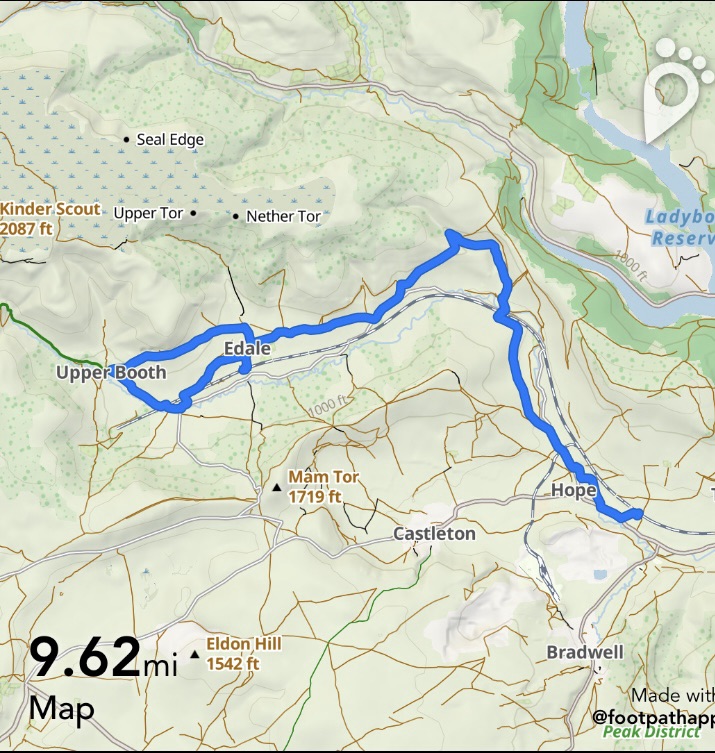
https://footpathapp.com/routes/7AF8A846-3255-4E1A-9A14-3AFB1ABECE88

Leave a comment