In a departure from the norm, today’s is a circular walk. We thought maybe G for Grindleford was a bit tame on its own so first we added Great Hucklow and then it seemed like a good idea to walk back to Grindleford as there are hourly trains from there to Sheffield.
It is also possible to use the 65 bus to get to/from Grindleford but if you do, please remember, it’s an infrequent service.
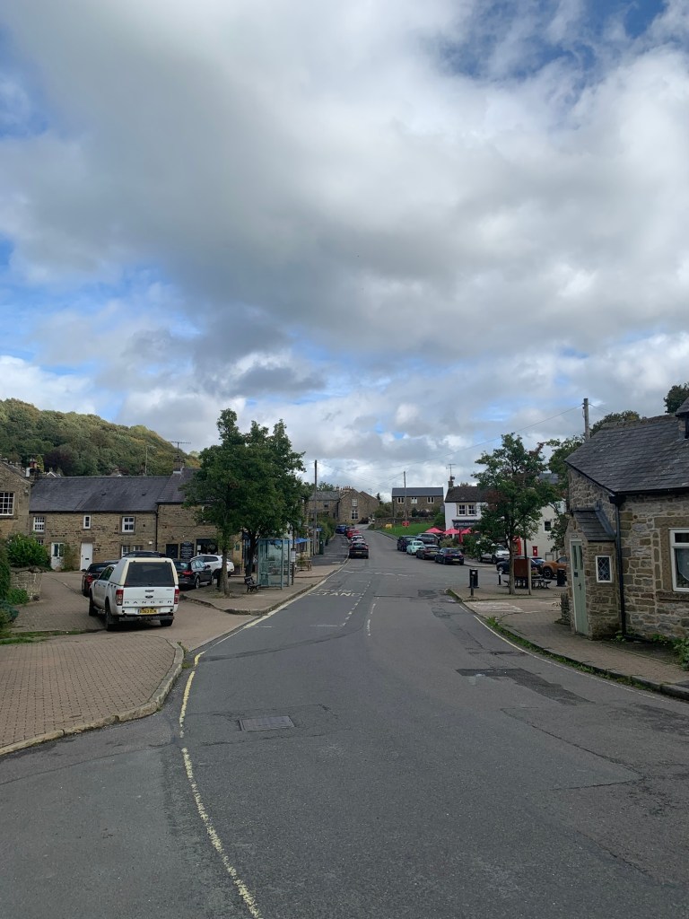
Getting off the train we turn left over the bridge where we get a good look at the tunnel portal that we’ve just emerged from.
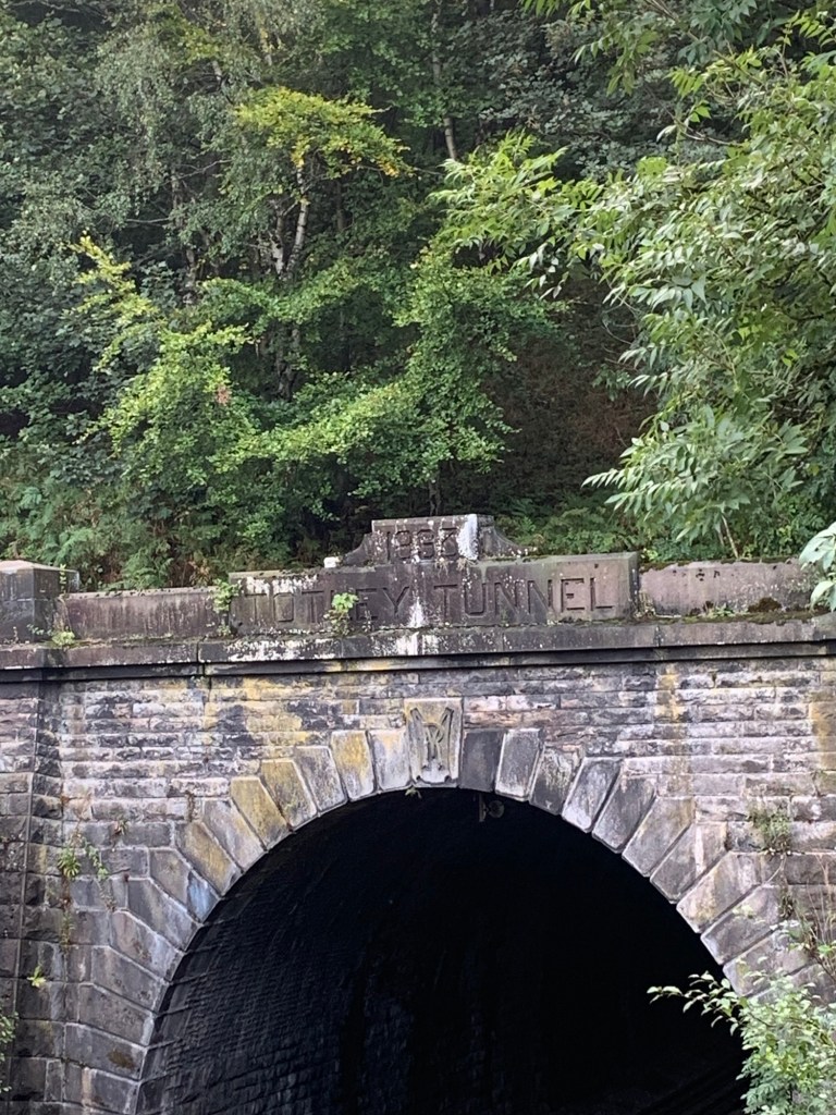
Completed in 1893 it’s amazing to think that until the fairly recent HS2 tunnel in London this tunnel was the longest in Britain. For details of the brains, blood and brawn that went into its construction read “Totley and the Tunnel” by Brian Edwards.
There’s plenty of water coming down Burbage Brook now that the dry spell seems to be finally over.
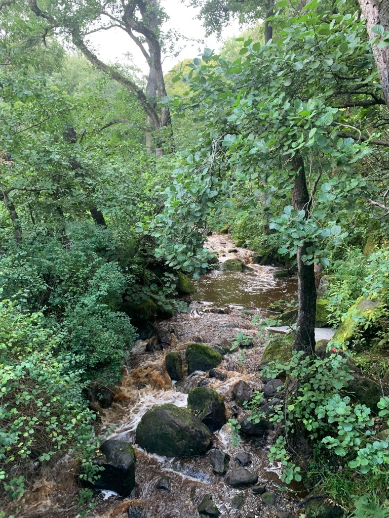
There’s quite a lot falling on our heads too so we’ll be getting a wetting by the looks of it ( and apologies in advance for duller than normal photos.)
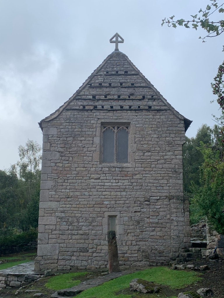
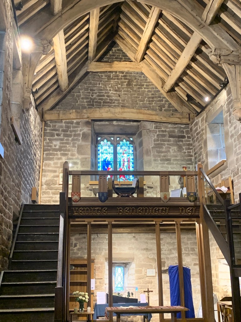
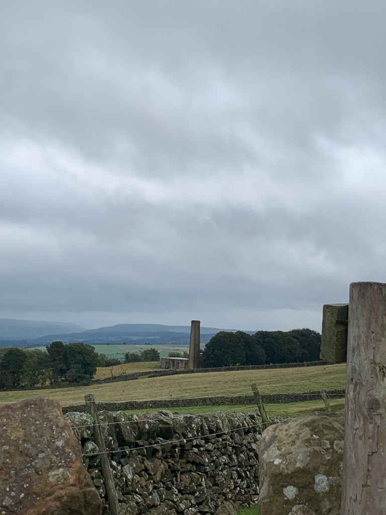
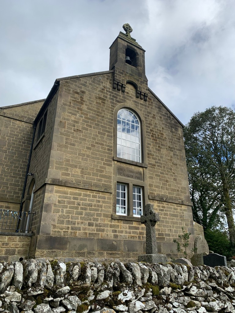
We’re just approaching Padley Chapel when we notice the door is actually open so we get a peek inside which is a real bonus. We’ve been here before on a guided tour and would definitely recommend it if you ever get the chance, it’s a fascinating place both for the building and its history.
Two ladies are preparing to show a walking group around and for a moment it’s a case of mistaken identity but we explain we’re just passing, take a snap of the amazing 15th century roof and we’re back on our way.
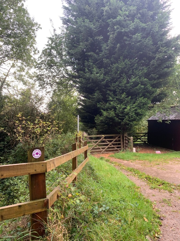
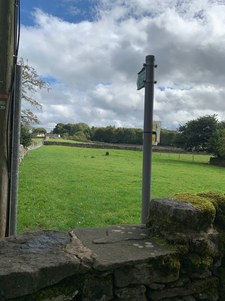
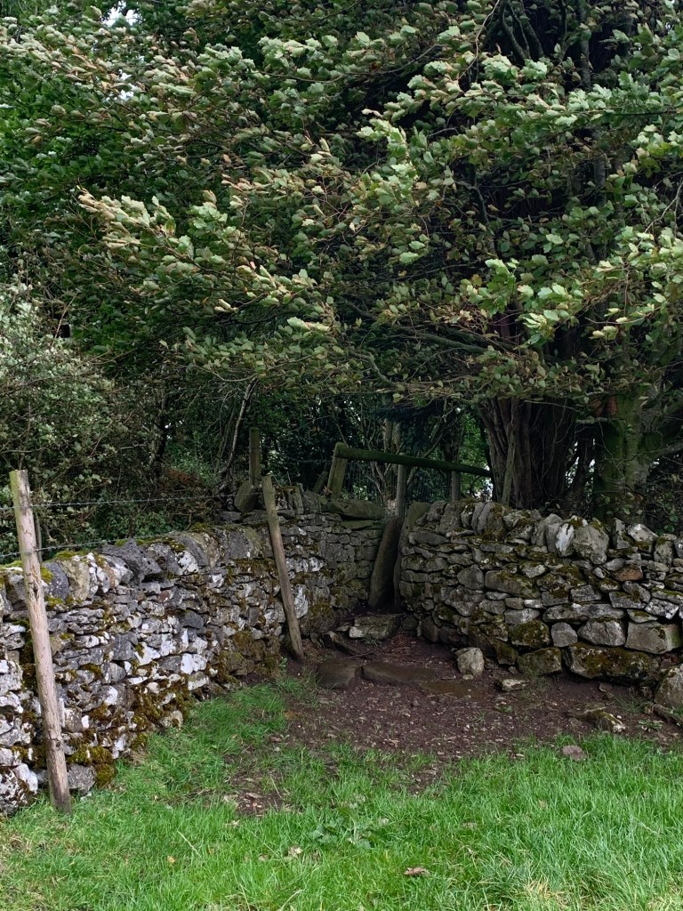
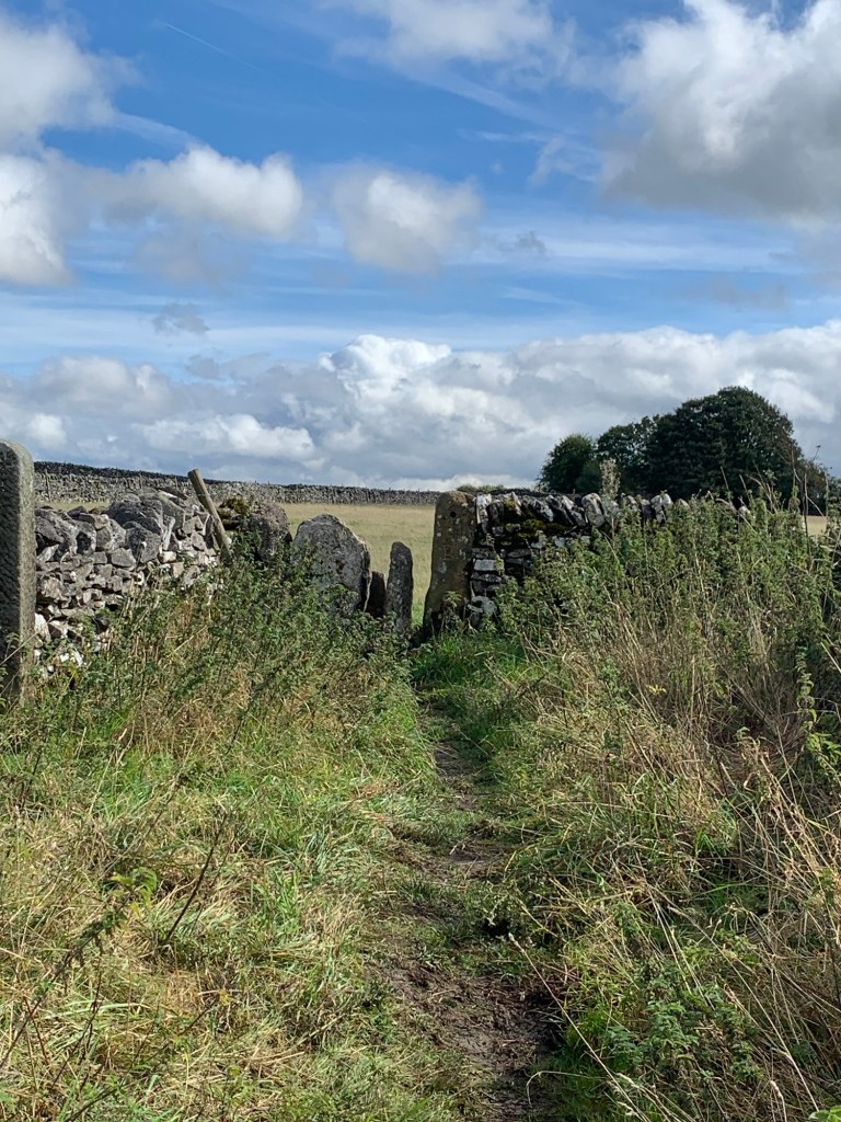
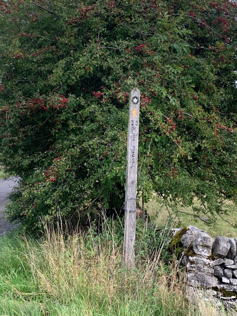
We turn left just past the chapel on a signed path that follows along a kind of raised ramp before it fades into obscurity.
At this point look for the gateway ahead and once through it ( don’t turn right, that’s a different path!) you can see the River Derwent below.
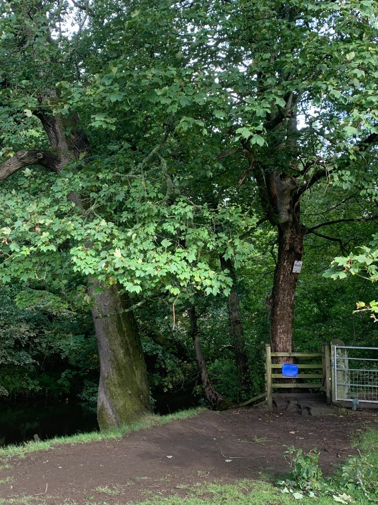
Just head diagonally down across the field to meet the river and the Derwent Heritage Way as it proceeds into the woods.
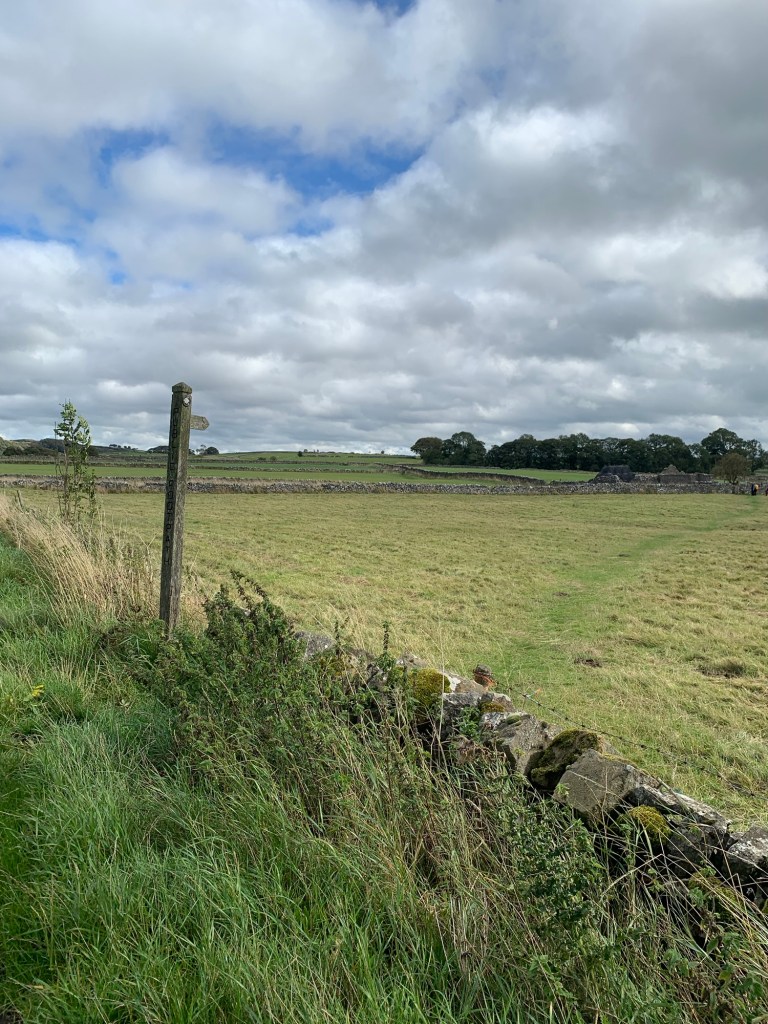
It’s a pretty level and straightforward walk along here all the way, not too much mud ( yet!) and great to see the river with some water in it.
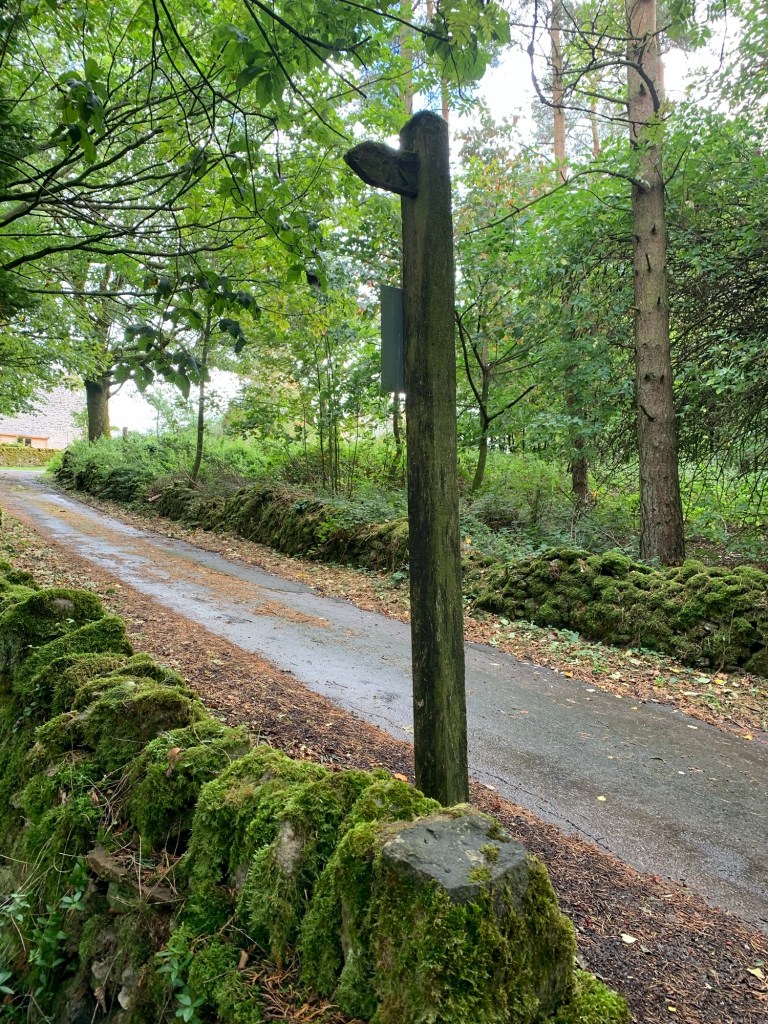
After passing nearby the grand house of Harper Lees which is part Derbyshire Longhouse and has been around for a very long time, the track is metalled as it serves as both a driveway to the house and a public footpath.
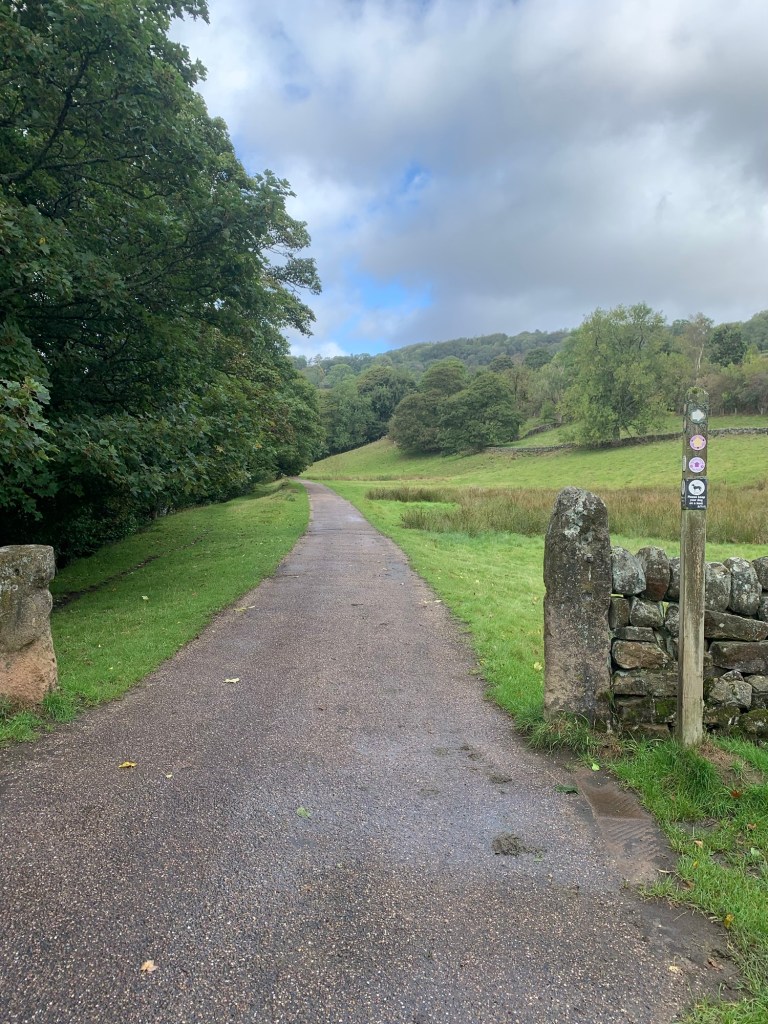
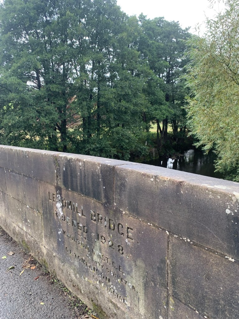
Once past the sewage works we meet the man road out of Hathersage and take a left over Leadmill Bridge.
Keeping along the road a little further we pass The Plough and then we take a right, up the lane to Hazelford Hall, another fine old house dating from the 17th century.
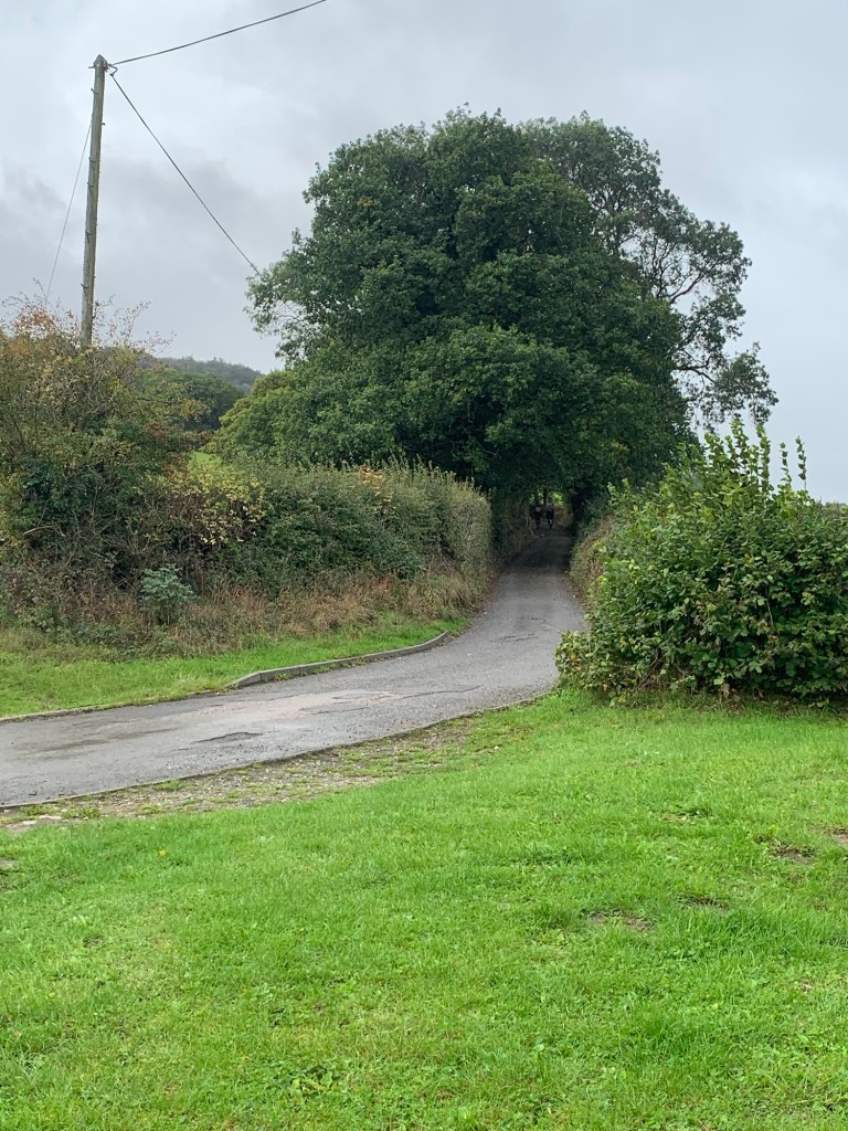
The road veers to the right but we go straight ahead and straight up the footpath for the first hill of the day.
At the top of the path we rejoin the lane heading left past Leam Farm.
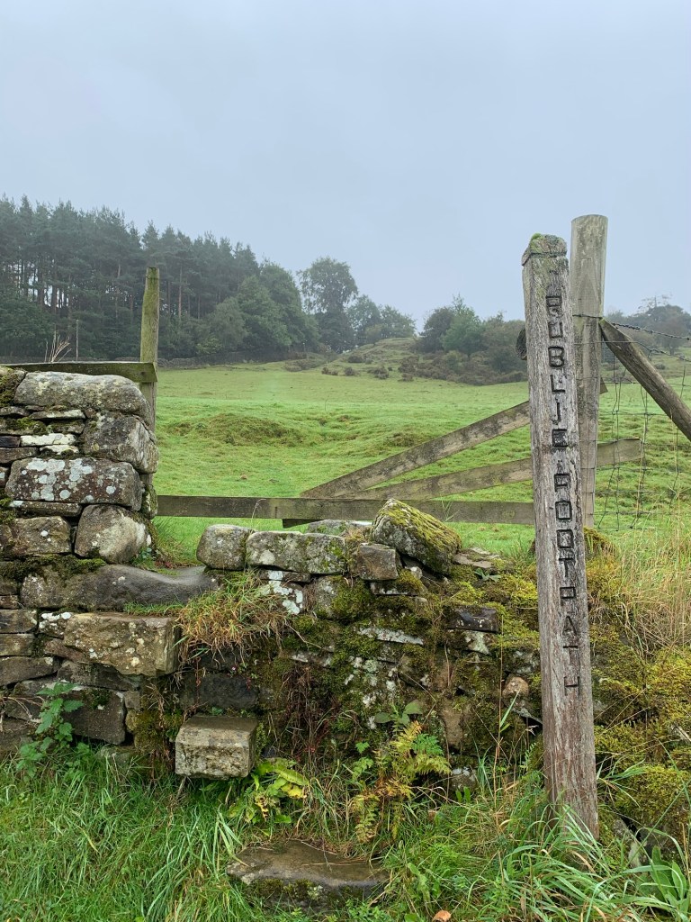
Just opposite a slightly run down farm building the path over Eyam Moor awaits us on our right.
Many years ago there was a youth hostel at Leam Hall ( situated further down the track opposite our footpath) and although it had closed by the time I started hosteling I remember there was still a red triangle here on my old OS map. Fascinating to discover it owed its existence to Alderman Graves, what a guy he was!
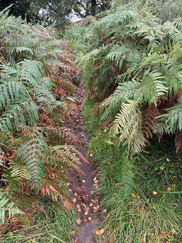
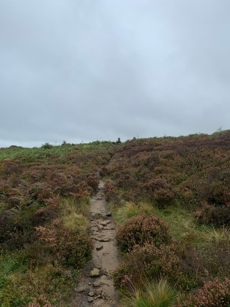
Back to business: head left through overgrown ( and today, very wet) bracken along the first part of the path. This is not a very welcoming start but persevere, it does get better the higher you climb over the moor.
One of the best things about this path is the views back across the Derwent Valley and they’re very atmospheric even on a grey day like today, (but not very photogenic so I didn’t bother.)
The path comes out at the junction of the road up from Grindleford just where it takes a sharp left towards Eyam.
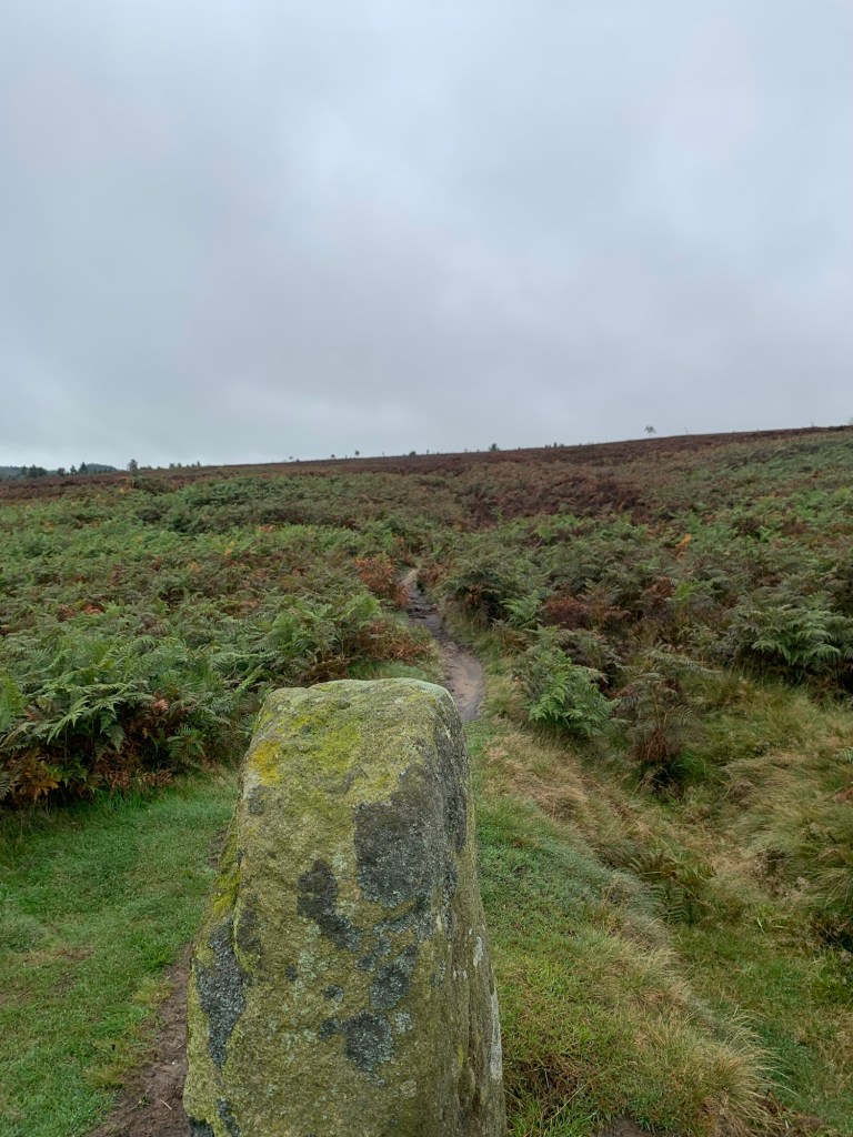
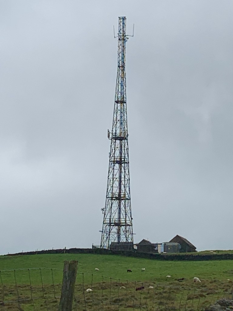
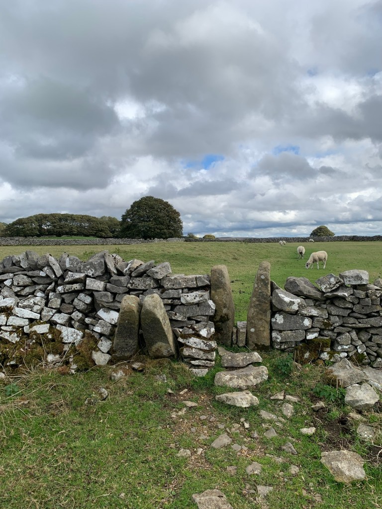
But we turn right and follow the track uphill with views of Ladywash Mine on our left followed by the telecommunications mast before we descend the other side of Sir William Hill and catch even more excellent views.
Who was Sir William Hill named after? Not the bookie, I’ll be bound. I always assumed it was William Peveril of Perveril Castle fame but apparently he wasn’t a “Sir”. The Sir William of the Grindleford pub was born too late to be eligible because the hill is named in Eyam records of 1692. So I reckon it must have been Wm Cavendish; probably to be expected when you consider what an influential family they were and still are in this area.
Ladywash mine has a very long history as it only stopped working in the 1970s and it was being mined for lead from 1540. A number of old lead mines were later mined for fluorspar and this was one of them.
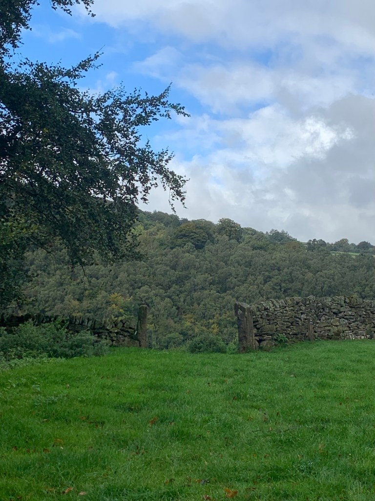
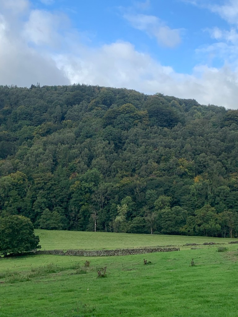
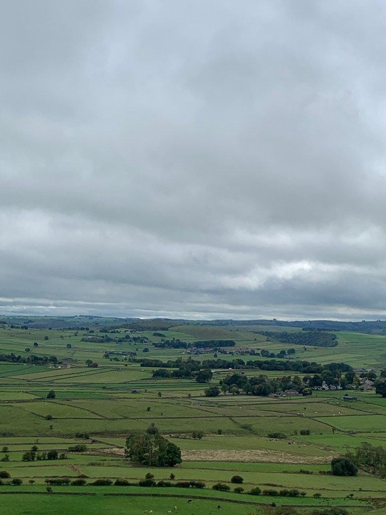
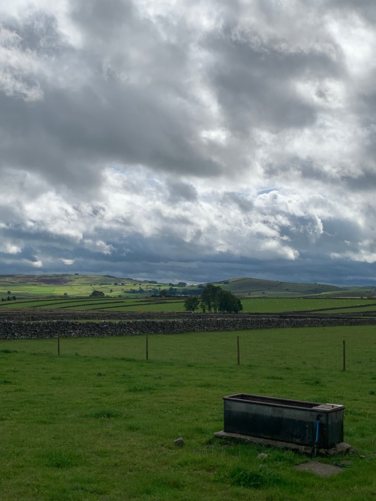
The next stretch of road has to be one of the most scenic in the Peak. I love striding along here with spectacular views on either side. Not quite as spectacular as it could be, today but you can still see a fair way.
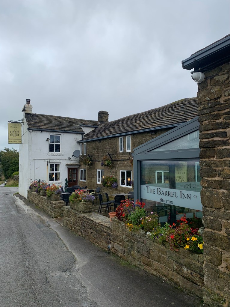
Next on the list of old buildings is The Barrel Inn at Bretton. It’s certainly seen some changes in its lifetime. My favourite photo of this pub is of the snow up here in 1979 and it’s currently displayed just inside the new foyer of the pub, which is more of a restaurant these days.
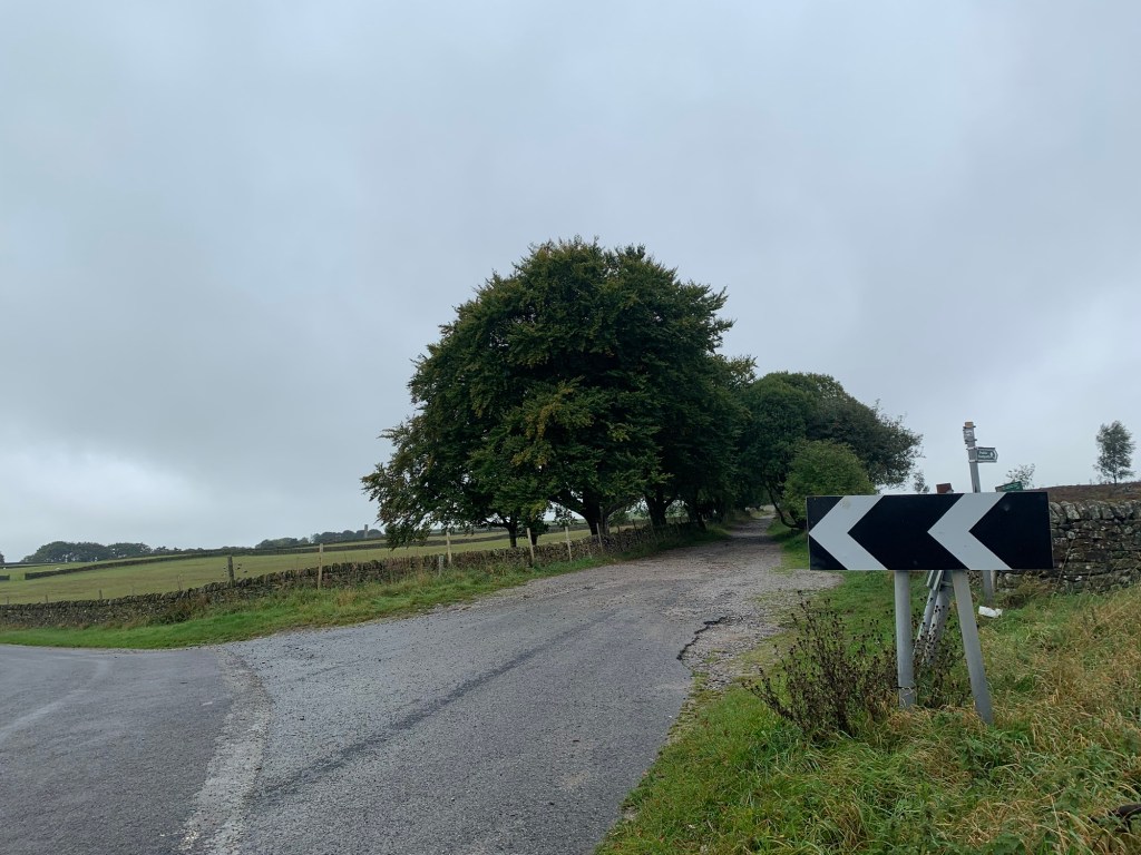
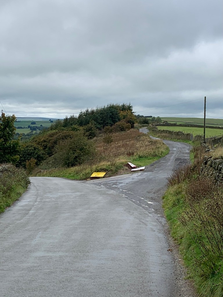
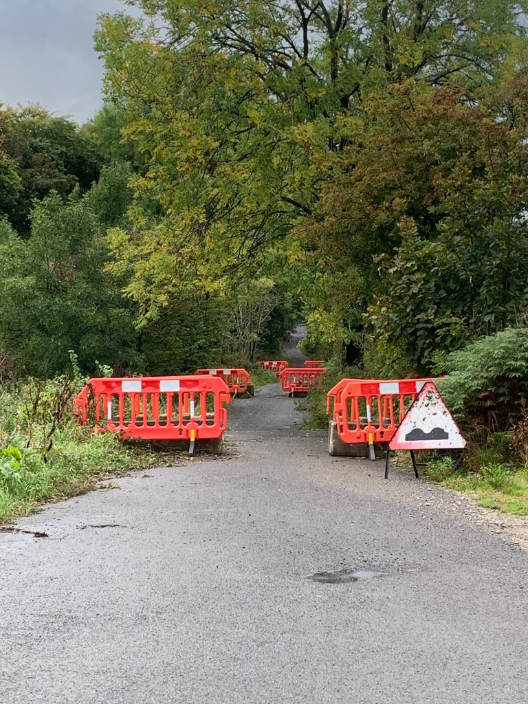
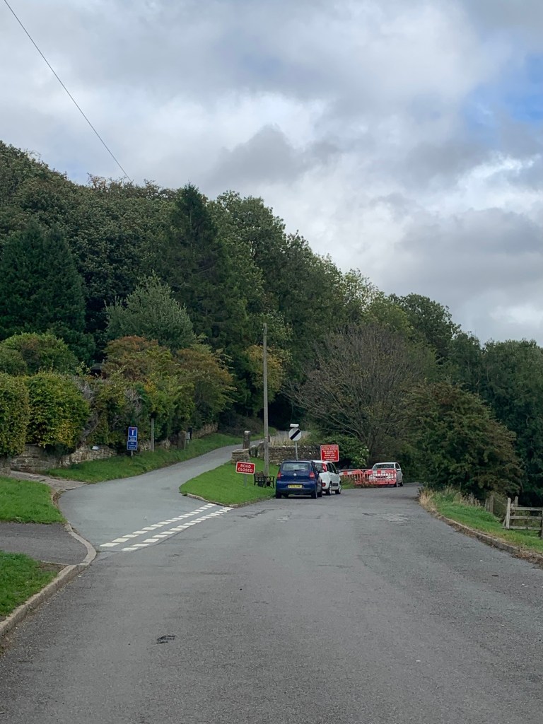
After the Barrel we keep to the high road on the right for another stretch of fabulous views. Don’t be put off by the road closed signs. There’s been some recent subsidence here which has closed the road to motor traffic but it’s easily walked through.
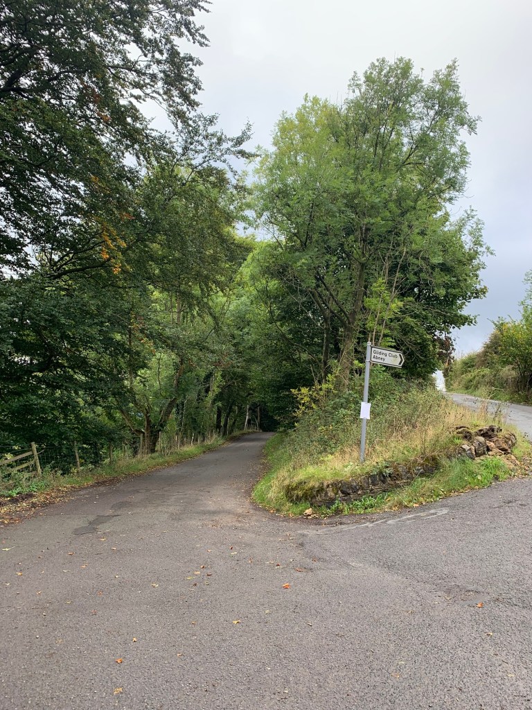
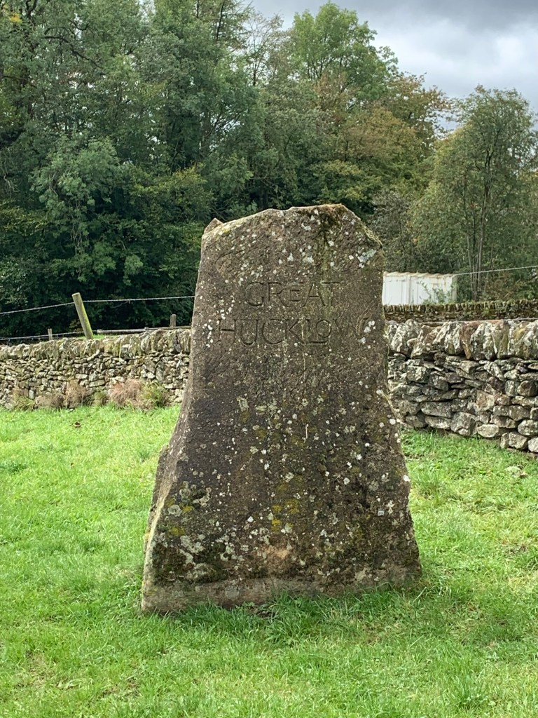
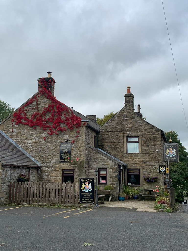
At the next road junction we head downhill to the left ( realising too late we could have done G for Gliding Club) and enter the village of Great Hucklow with its stone sign.
Keep straight ahead through the village to the Queen Anne pub, with its very nice draught Bass. It’s not open every day of the week but even if it’s closed, the village is worth a wander around.
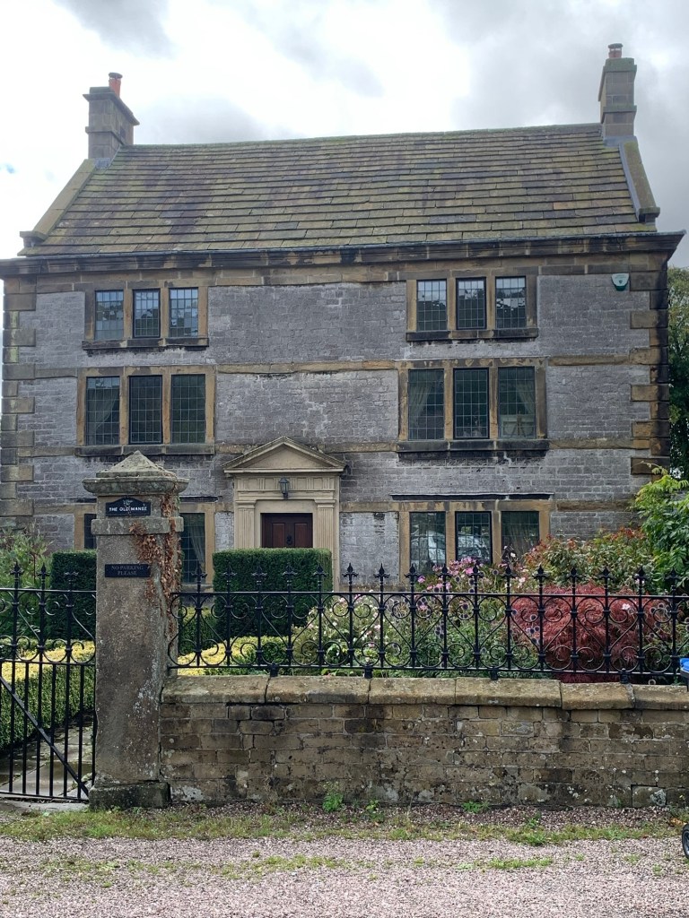
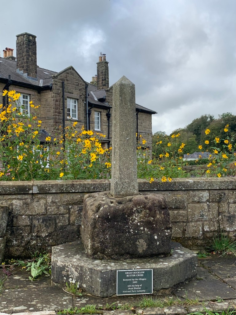
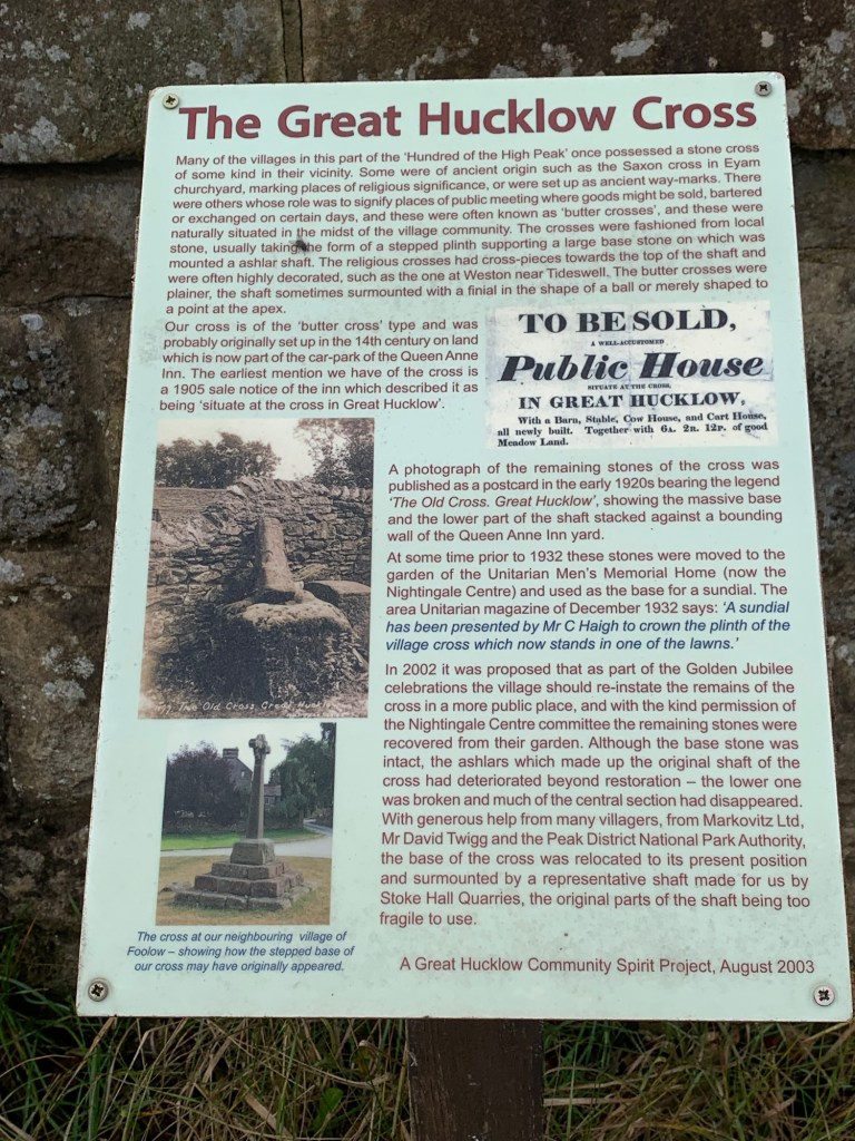
There’s a very interesting variety of old buildings, such as the Old Manse and the Nightingale Centre not to mention the Butter Cross.
Once you’re suitable refreshed and/or sufficiently enjoyed checking out the Main Street it’s necessary to retrace your steps as far as the old Methodist chapel on the corner and take a right down the lane.
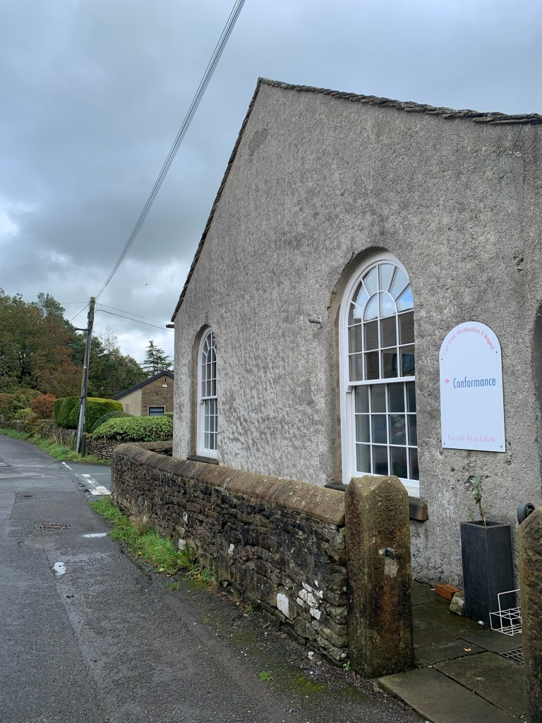
Soon spotting another chapel, Unitararian this time, immediately afterwards we take the footpath on the left.
Unitarianism was and still is a focal point of the village and it’s interesting to note a chapel was first constructed here as long ago as 1696.
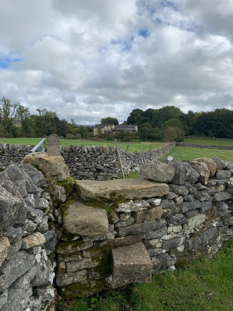
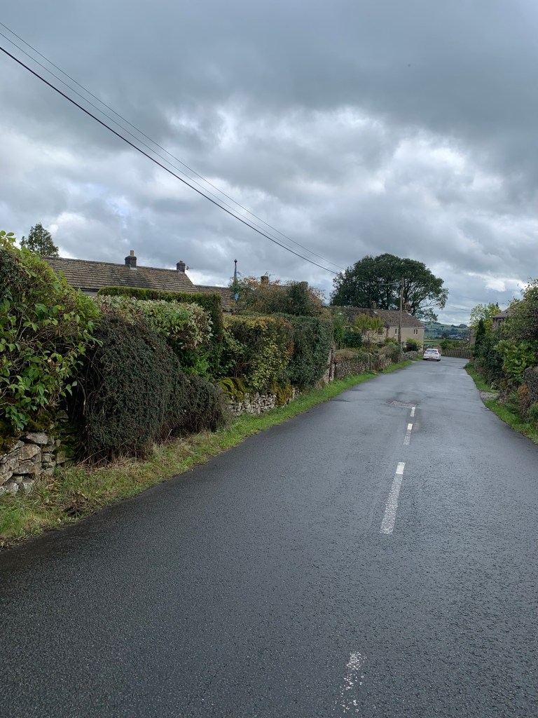
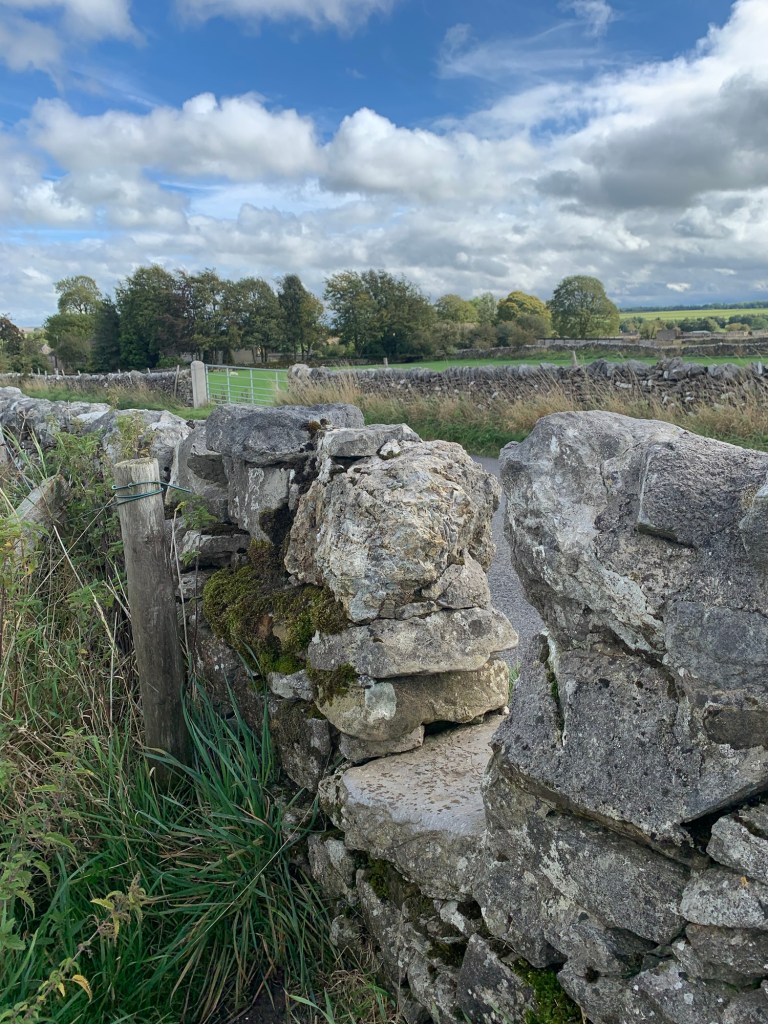
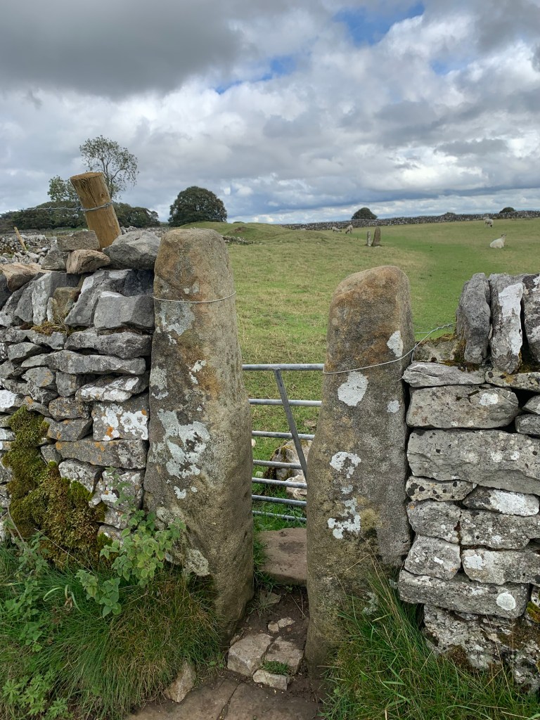
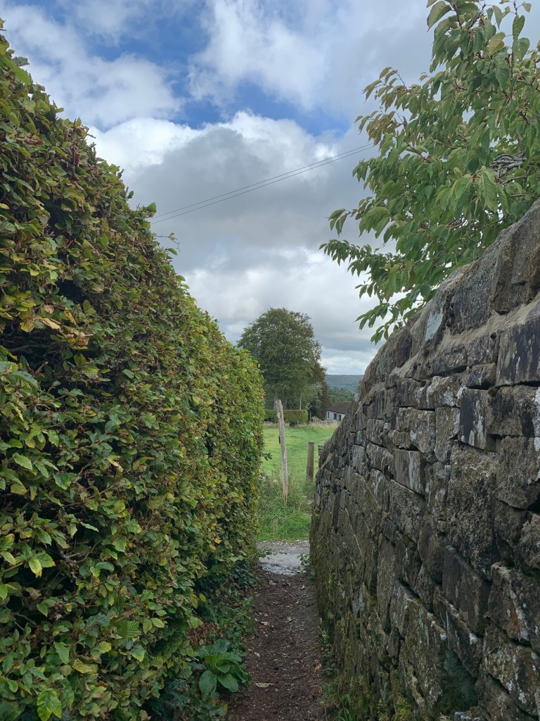
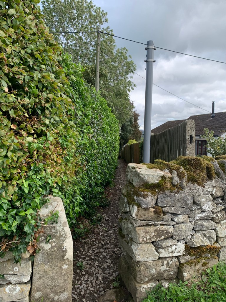
The footpath is very quaint with lots of stone stiles across the walls ( some big step-ups for short legs!) some excellent views to the right, especially now that the weather is picking up, and to the left some interesting back views of the village.
This is rounded off with a little pathway through a copse of trees and then we’re on the next lane and heading briefly left and then right into Grindlow ( another G!)
We head through this lovely little outlying hamlet and take the signed track just to the left of a beautifully proportioned barn.
The track turns into a greenway and then becomes a field path
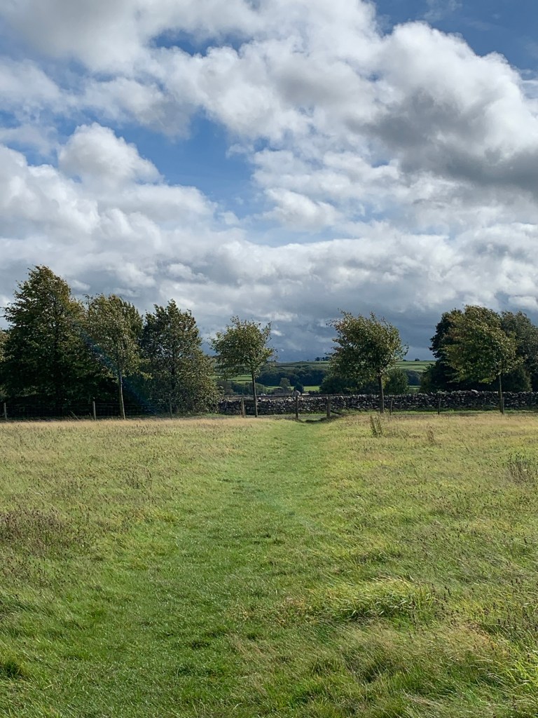
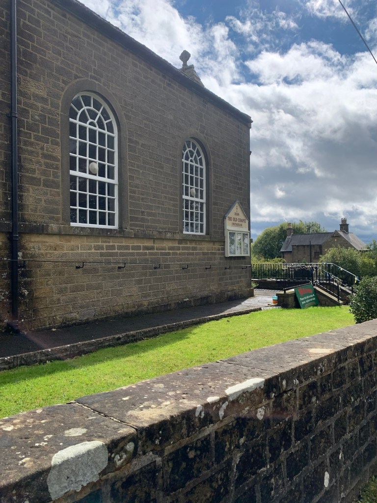
emerging onto the road just before the village of Foolow.
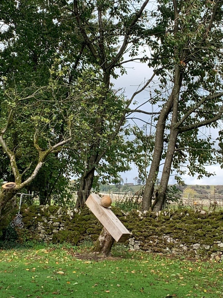
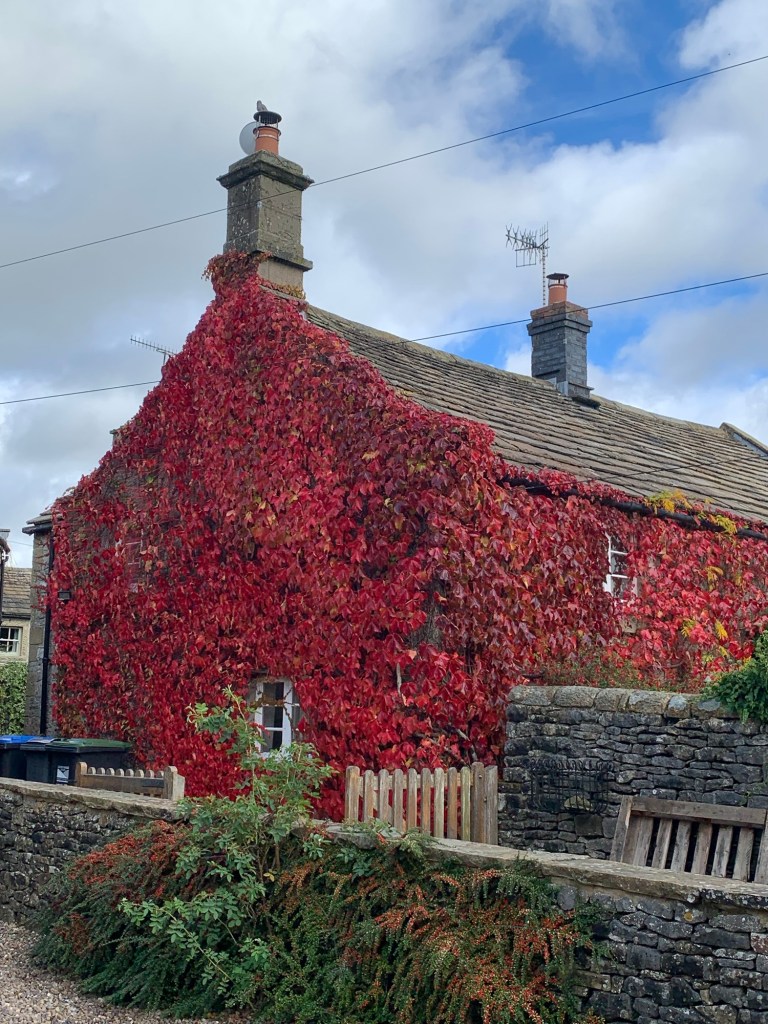
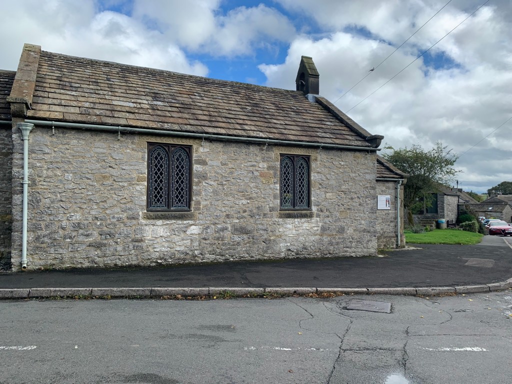
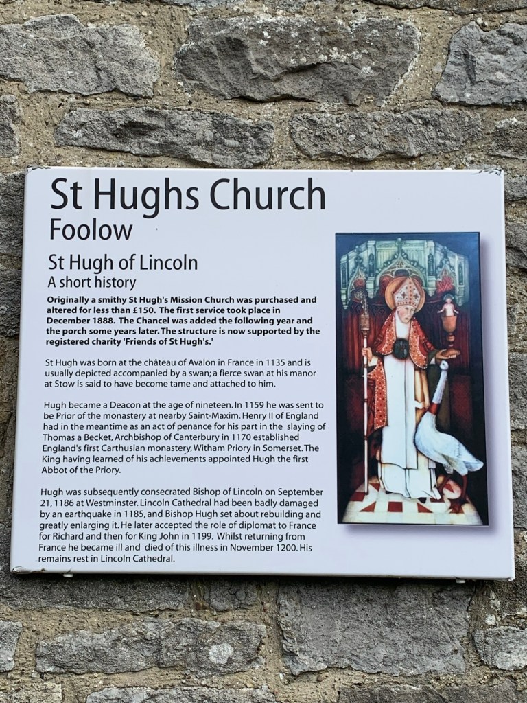
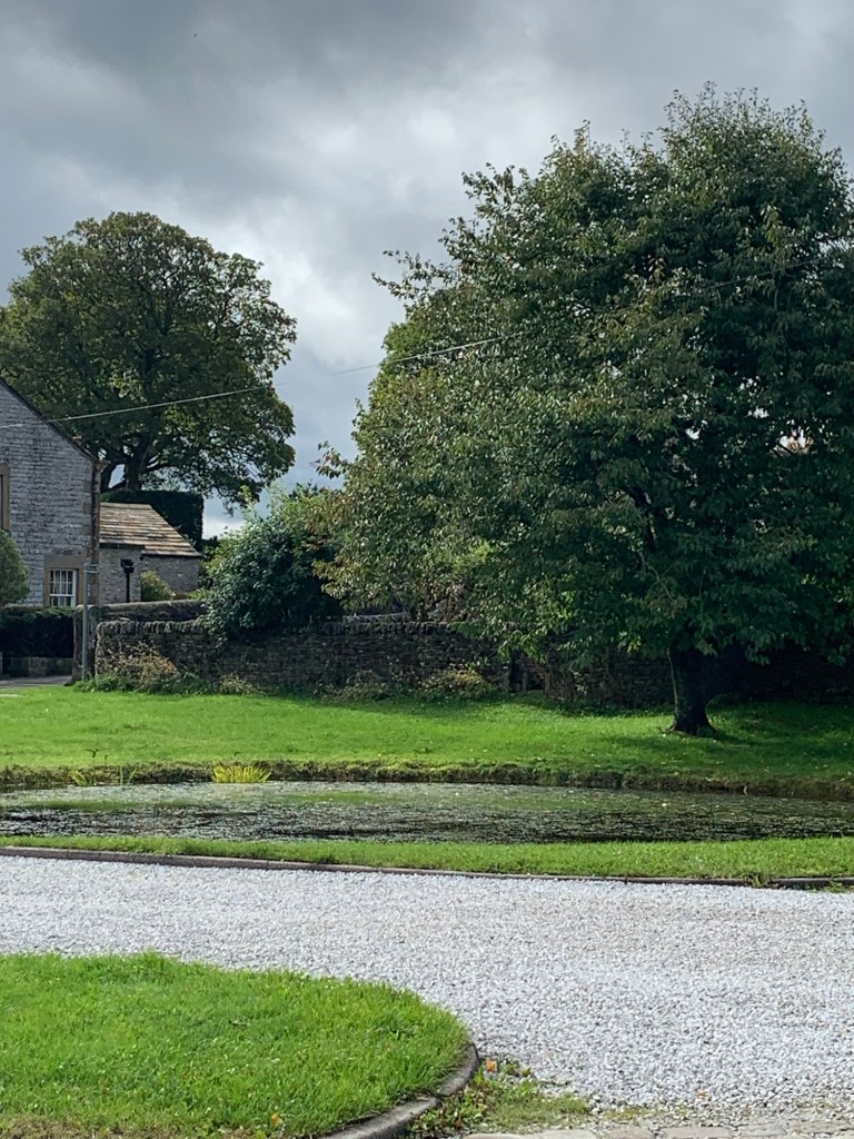
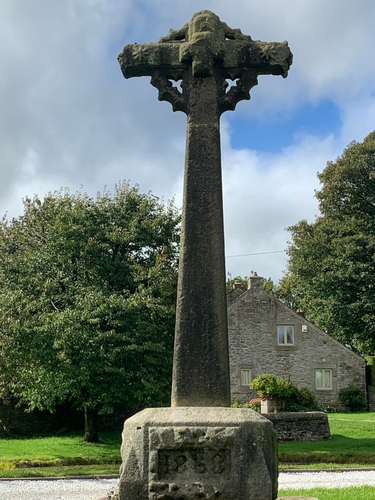
Walking into the village we spot an unusual bowling-inspired wood sculpture in a garden and a stunning display of autumn colour on the side of a house before passing the tiny St Hugh’s chapel, the village duck pond and another village cross.
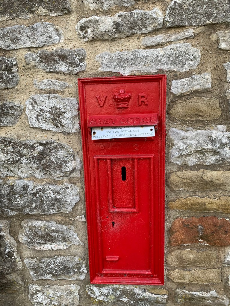
And that’s not all… curious as to why such a small village would have two post boxes side by side we cross over and discover no less than a Victorian “VR” letter box, (for show only) ….and there aren’t a lot of those around these days.
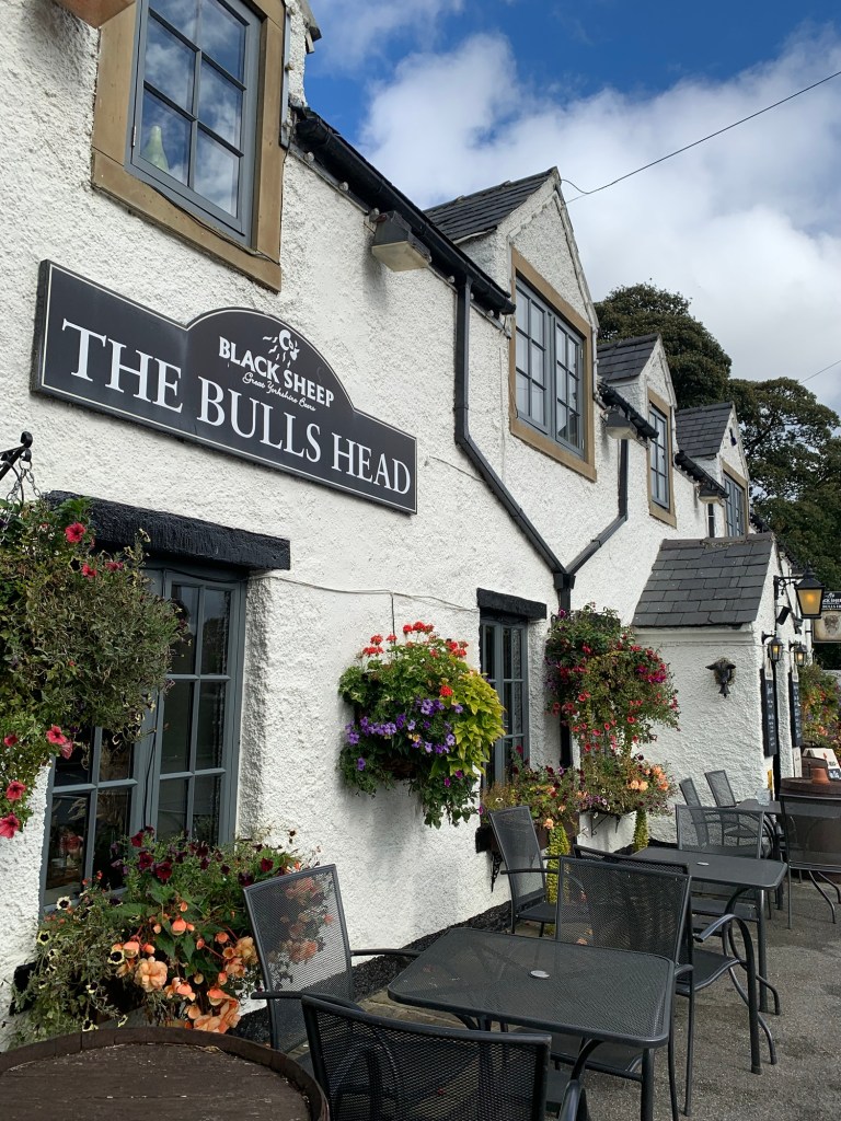
The pub at Fooolow is a great place to stop for food, drink and hospitality alike, especially if you’ve already passed by both the other pubs earlier.
Its hanging baskets are second to none today too.
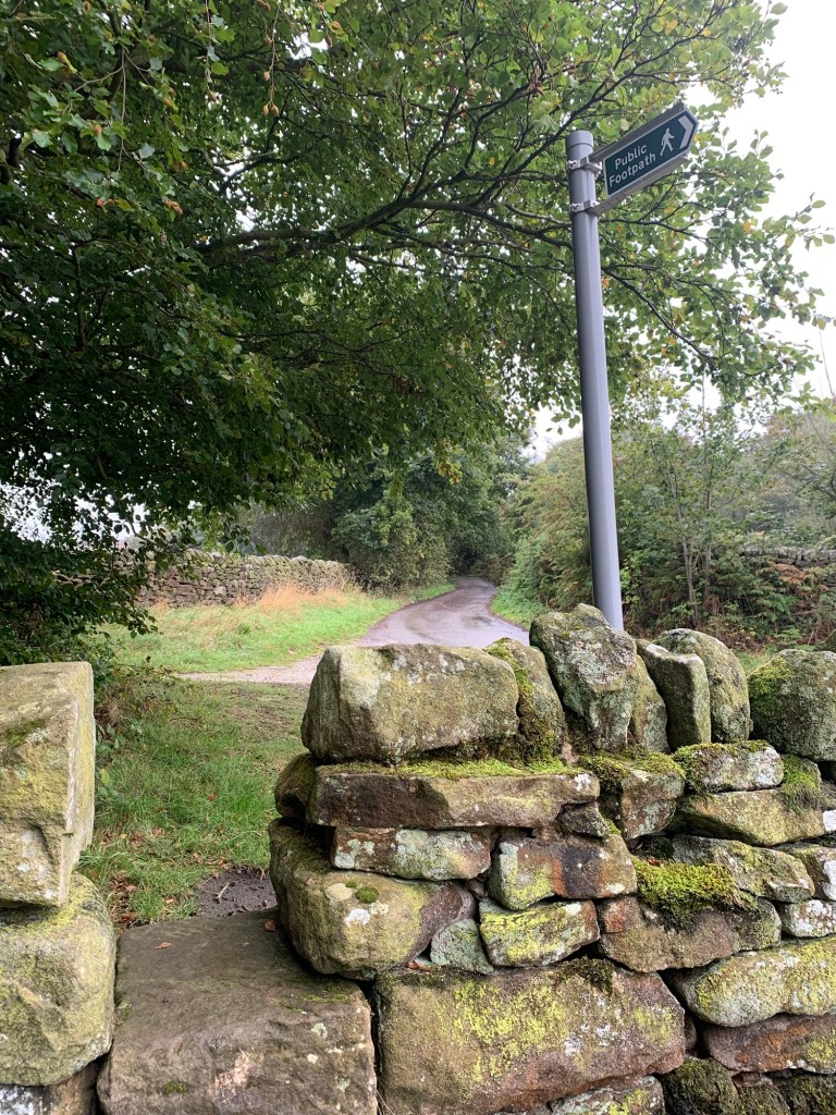
With the pub on our left we continue straight along the Eyam road for just a few hundred meters before we find the signed path on the right which leads us, delightfully road free, to the village Eyam.
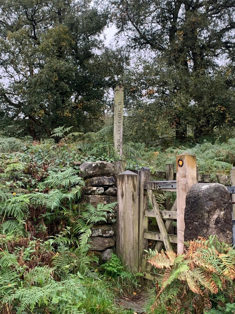
This is another lovely path which at times, seems to have a surfeit of stiles!
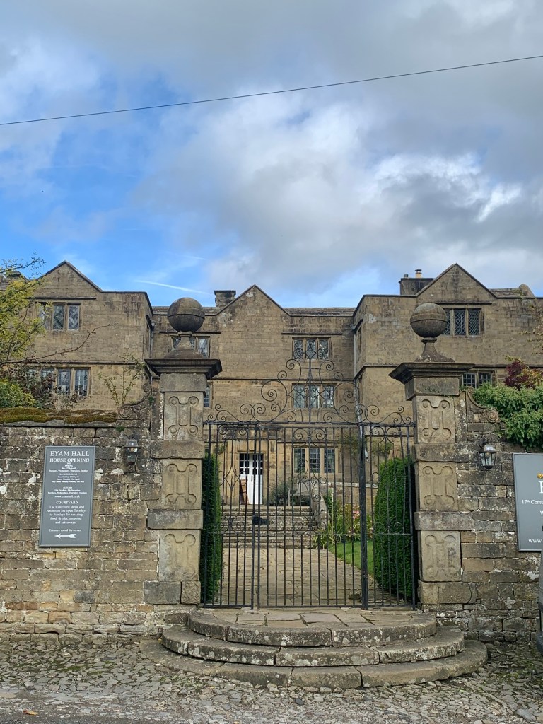
We walk into Eyam between houses and gardens and arrive on the Main Street exactly opposite Eyam Hall.
The courtyard here has been developed in recent years and provides cakes, teas, ice cream, beer and pizza to name just a selection of what’s on offer here, and all very tastefully done.
The 17th century hall is now available as a wedding venue and looks absolutely splendid as we pass by on our way through the village.
There is so much to see and so much history in Eyam it really deserves a page of its own. However it also has considerably more written about it than the other villages we’ve passed through today so I don’t feel too bad about leaving you to do your own research here!
Most importantly, we are heading to the Eyam Tea Rooms which is our favourite of the three ( four if you count the one that’s only open on Sunday) cafes in the village, and one of our favourites full stop.
A pot of tea accompanied by a pot of hot water without asking is always welcome, the cakes are pretty good too!
Regrouping for the last lap we continue up the hill past the tea rooms and once again we can ignore the “road closed” sign as this only applies to motorists.
We walk out of village along another broken road that fell prey to subsidence many years ago and as a consequence has become a quiet lane for walkers and cyclists.
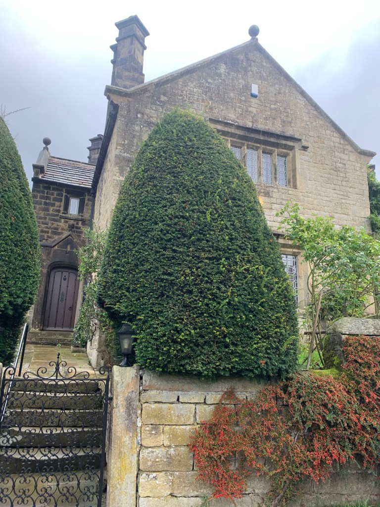
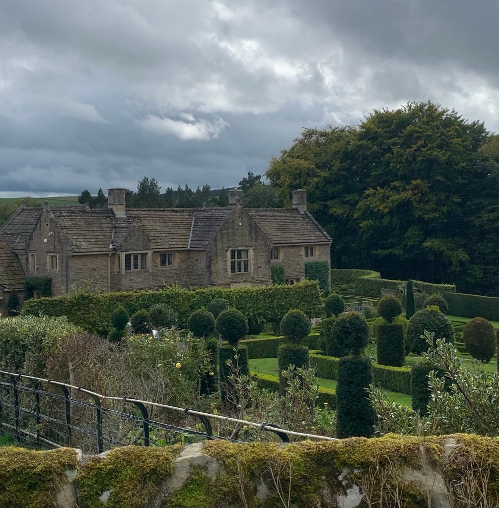
At the end of the restricted section we pass the splendid Manor House where topiary is obviously the in thing.
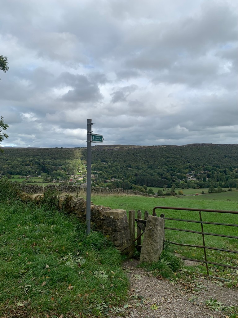
Due to the landslip making New Road a no -through-road it’s a pleasant enough walk with great views across to Froggatt Edge and down into Froggatt village to just continue from here into Grindleford, which is exactly what we do.
But, if you’d like to extend the walk and/or dislike tarmac even when it’s quiet, take the footpath off the corner of the road
which goes directly downhill to the old toll house on the main Calver to Grindleford Road. Cross ( with care!) and continue down the lane to cross the Derwent at Froggatt Bridge after which you’ll need to turn left and follow the Derwent Heritage Way all the way back to Grindleford Bridge. It’s a very pretty and classic valley walk and then just up the hill from the bridge to the station.
Either way it’s a good day’s walk, visiting a section of interesting Peakland villages and splendidly varied scenery. Enjoy!
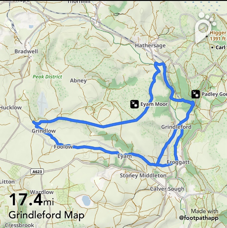
G is for Grindleford/Great Hucklow
TRANSPORT
Hope Valley train to and from Sheffield station to Grindleford station
65 Bus to from Sheffield to Grindleford Maynard Arms. Infrequent service
PUBS/CAFES
The Plough Hathersage
The Barrel Inn Bretton
The Queen Anne Great Hucklow
The Bull’s Head Foolow
The Courtyard Cafe, Eyam
Village Green Cafe Eyam
Eyam Tea Rooms
Ivy Cottage ( only open Sunday) Eyam
The Miners Arms Eyam
Grindleford Community Cafe and shop
HOW FAR?
Around 24k
ROUTE SYNOPSIS
Grindleford station, river path to The Plough, Leadmill Bridge, Hazleford Hall, Eyam Moor, Sir William Hill, The Barrel, Great Hucklow, Grindlow, Foolow, Eyam, ( Froggatt Bridge) Grindleford Bridge, Grindleford Station
DOGS?
Some livestock to be expected between Foolow and Eyam and some tricky stiles between Great Hucklow and Grindlow, BUT these can be avoided by slightly amending the route as follows.
- It’s easy ( and quiet) to just walk along the road from Gt Hucklow to Grindlow.
- From Foolow it’s possible to take the road opposite the pub and just before the main road there’s a Bridleway on the left which leads all the way into Eyam.
https://footpathapp.com/routes/84CAC03C-F591-492C-A150-9D61AD94B033

Leave a comment