Hunters Bar roundabout is served by so many buses that it’s an easy starting point for today’s walk, and of course it has the right letter in its name.
And as today’s walk turns out to reference various Sheffield bands we can’t miss starting with a quick hello to the Arctic Monkeys!
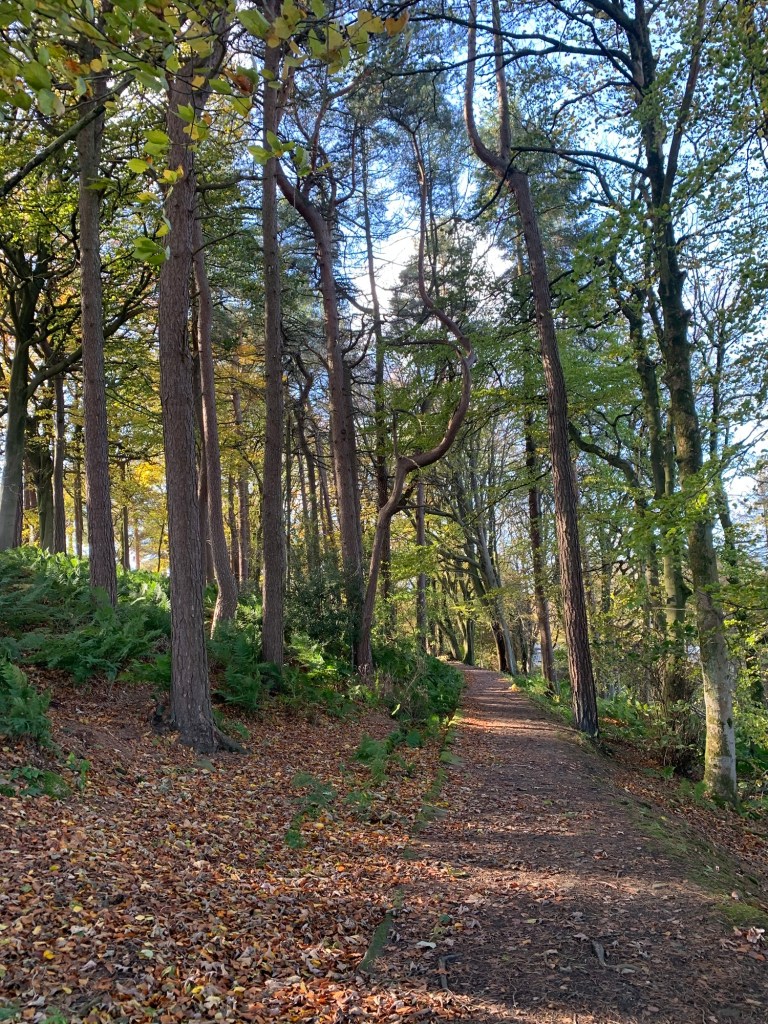
If we’d been walking to instead of from Hunters Bar there’d also be plenty of nearby cafes to visit but, as it is, we’re soon striding out past Endcliffe Park Cafe without even a hesitation, enjoying one of the most popular urban walks in the city as we make our way out of town along the Porter Valley.
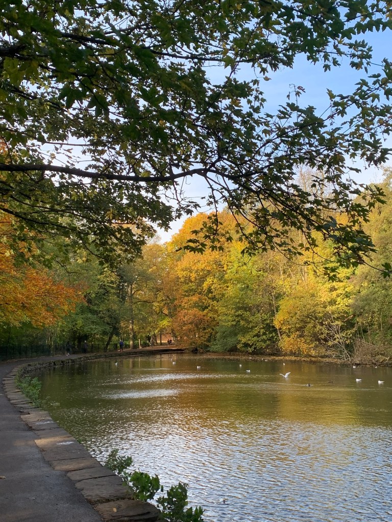
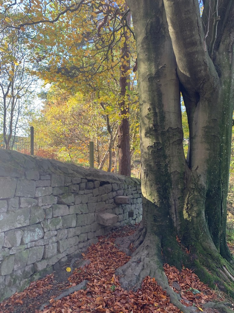
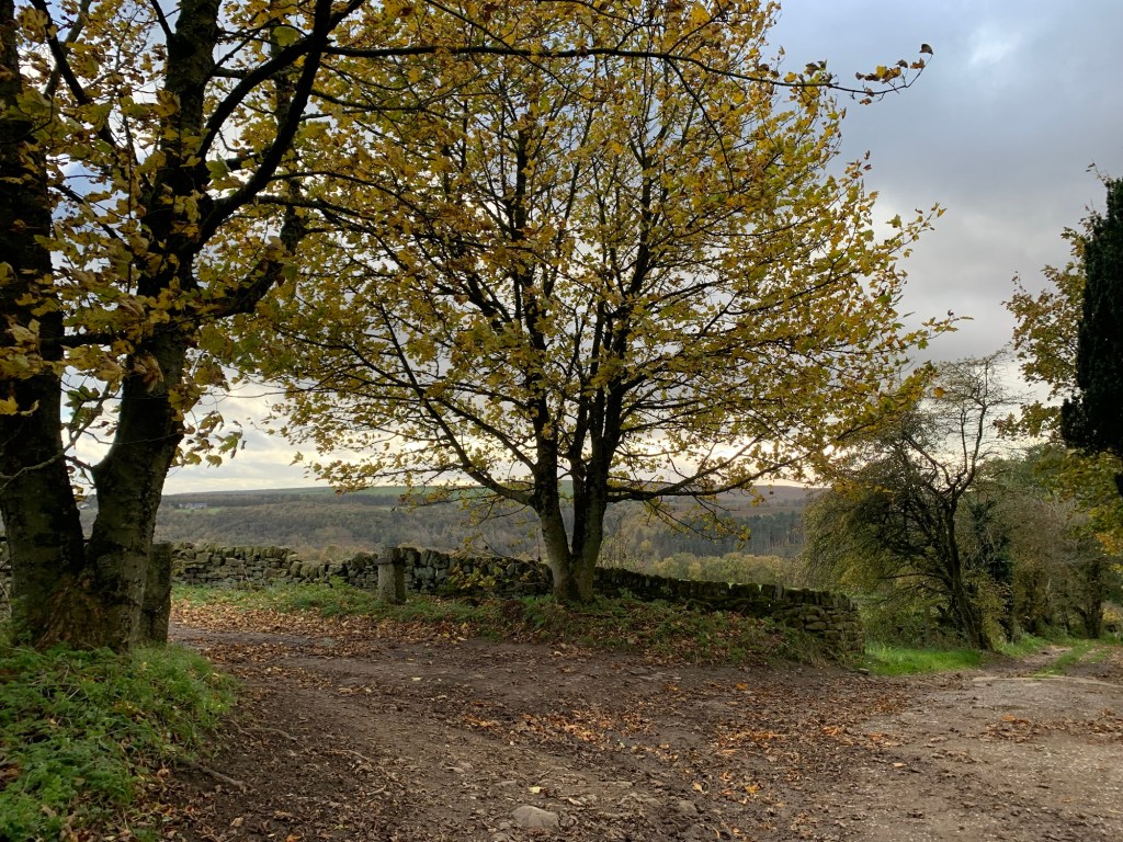
Everything looks especially beautiful today in its Autumn colours.
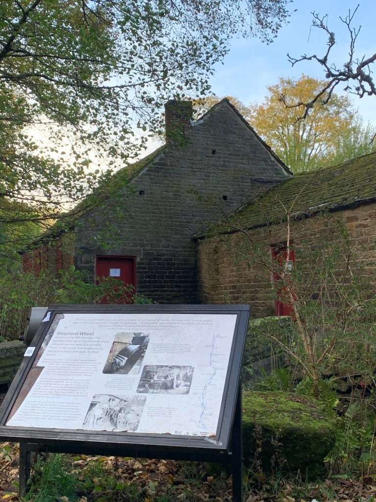
Endcliffe Park morphs into Bingham Park and here we pass Shepherds Wheel which is definitely worth a visit when the wheel is working as an insight into Sheffield’s industrial “little mesters” heritage.
Over the road we pass through Whitley Woods and the memorial to local lad, Thomas Boulsover,
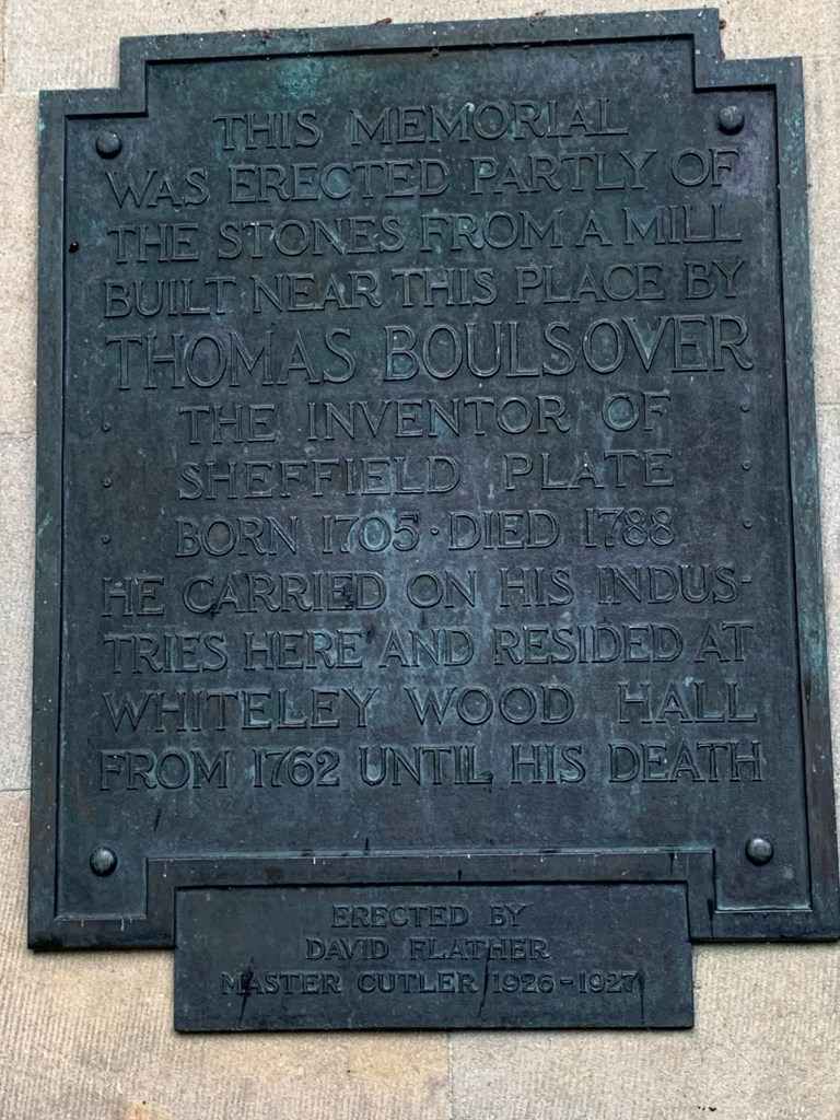
responsible not only for the discovery and development of Sheffield Plate, but so much more besides.
( Click on the link to read the details of this somewhat undersold Sheffield inventor.)
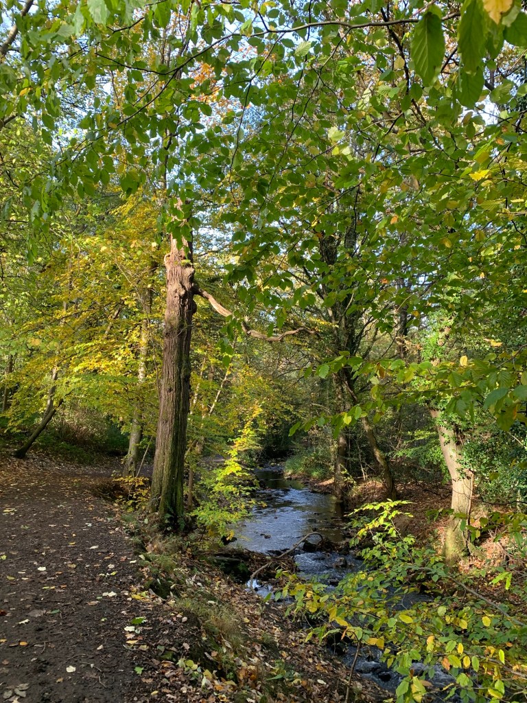
Past Wire Mill Dam we’re soon at Forge Dam cafe where we show amazing restraint and only pausing for a quick toilet stop we’re soon back on our way once again.
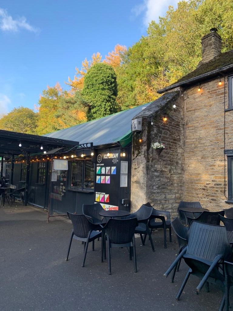
Forge Dam cafe must be one of the most well known and frequented cafes in Sheffield, quite deservedly so, too.
It’s even mentioned in Wickerman, one of Pulp’s songs, although, understandably, it’s had facelifts since those lyrics were written back in 2001, (but without ever forgetting its roots.)
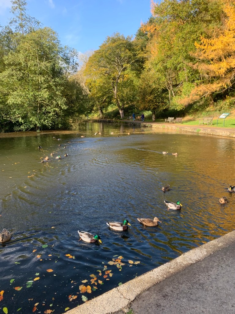
Forge Dam itself continues to be a hotbed of activity, subject of a huge project which aimed to fix long term leaks and problems but which has run into further difficulties just when it was heading for completion. So frustrating for the many dedicated people involved but, that said, today things are looking pretty good with water and ducks in the pond. In fact here they are, all in a row as the saying goes!
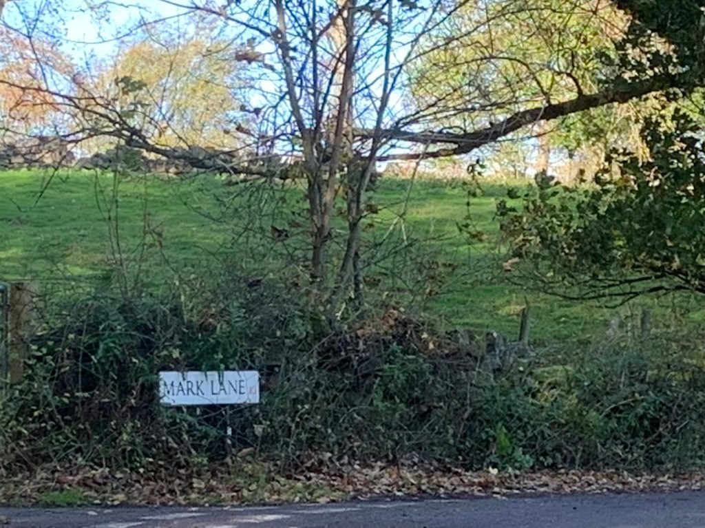
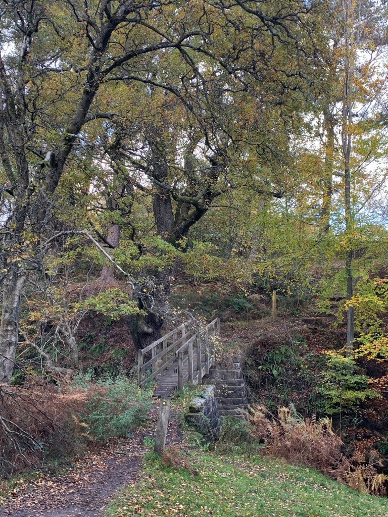
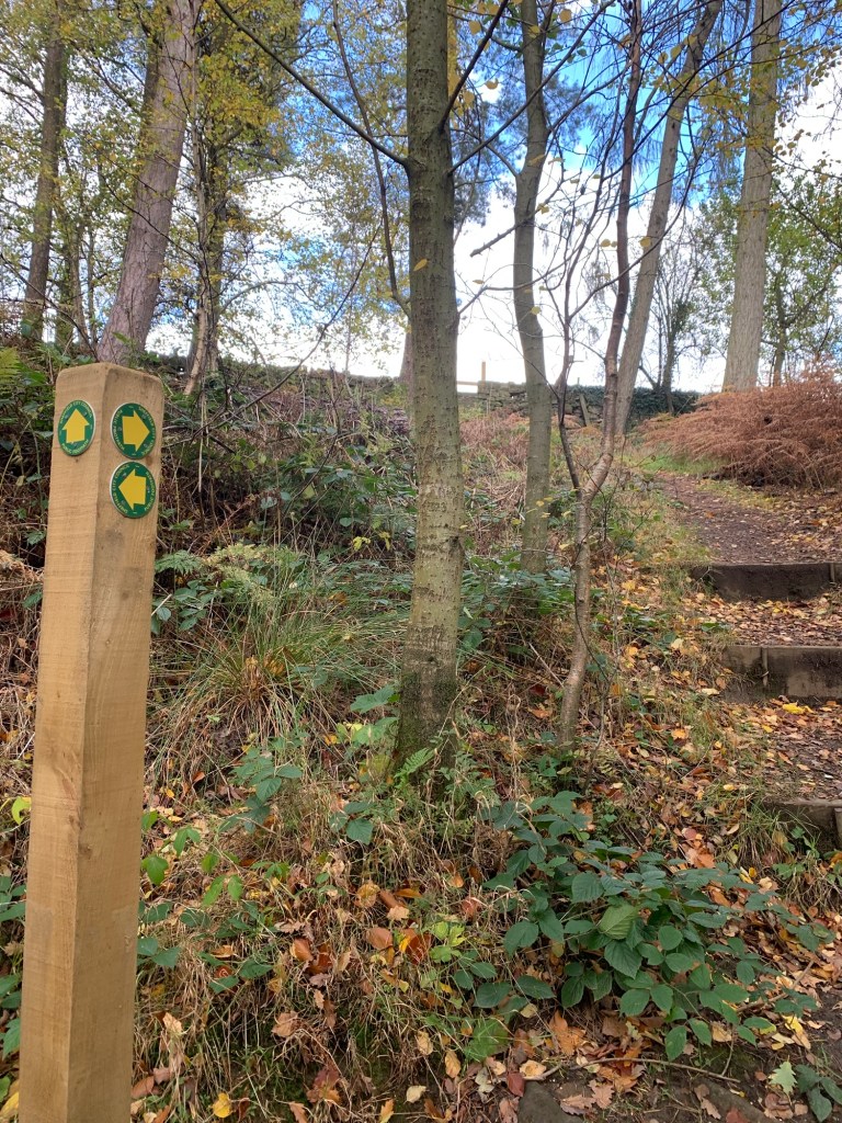
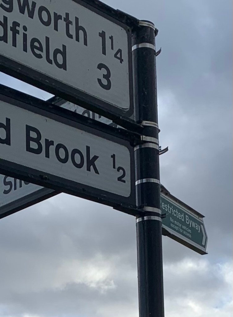
We continue to follow the Porter Clough through more woodland and cross over one more road before we branch right at the following junction to follow Mark Lane over into the Mayfield Valley.
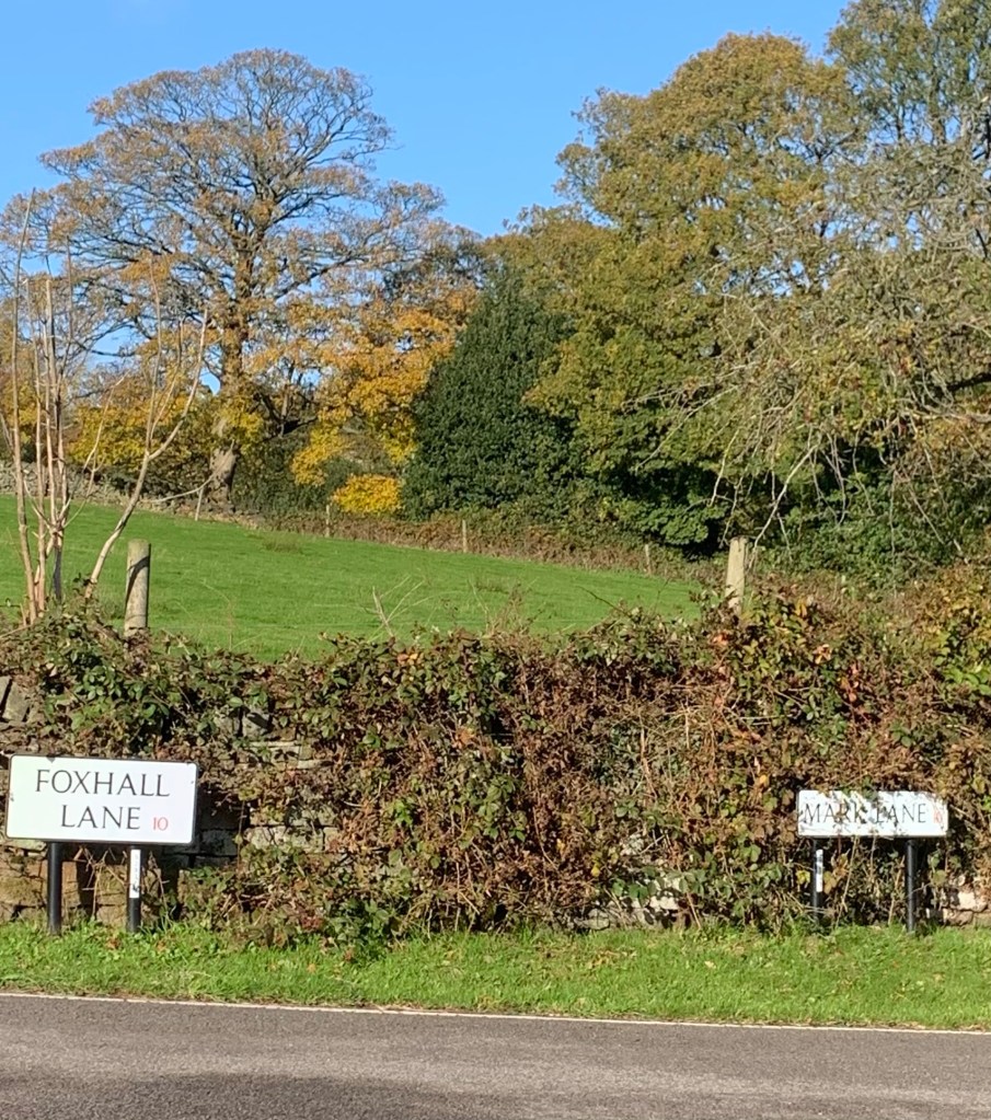
There’s a network of lanes here so it’s quite easy to get confused if you’re new to the area. On reaching the junction with Foxhall we turn right to continue along Mark Lane
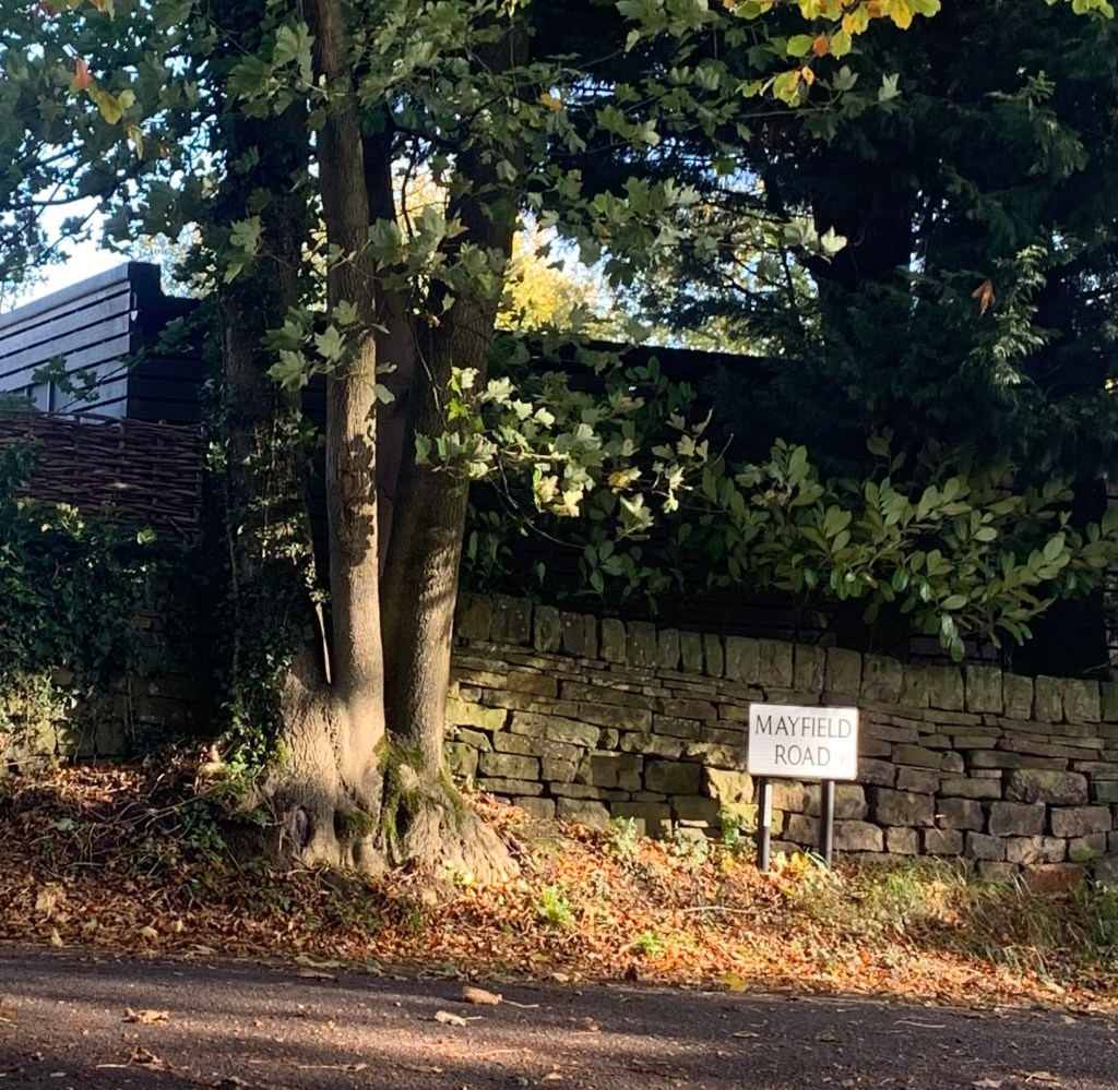
and at the next T junction with Mayfield Road we turn left
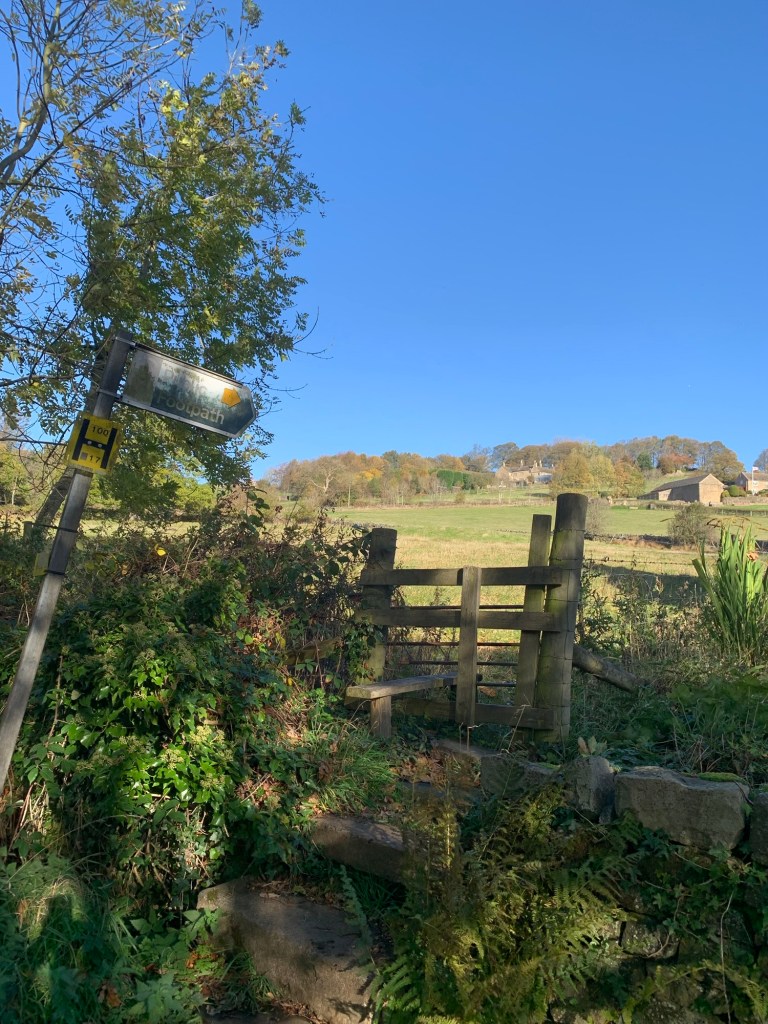
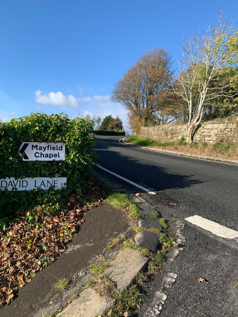
and then cut across the fields on a footpath bringing us onto David Lane.
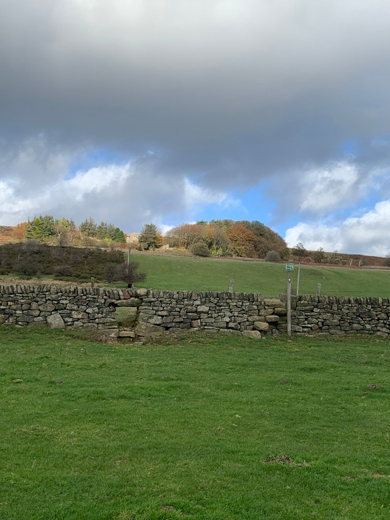
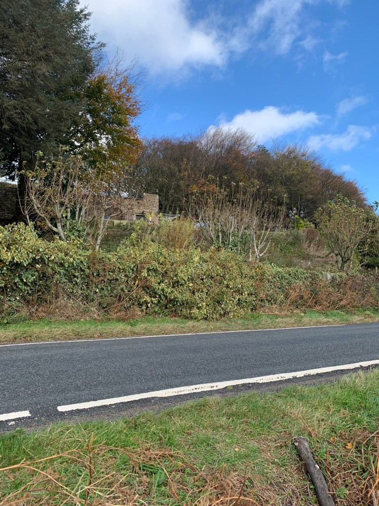
Halfway across the field there’s a good view of the old Mayfield School which later became a study centre for Sheffield school children and is now a private residence. For amusing and insightful stories of the old school try to track down Muriel Hall’s old book
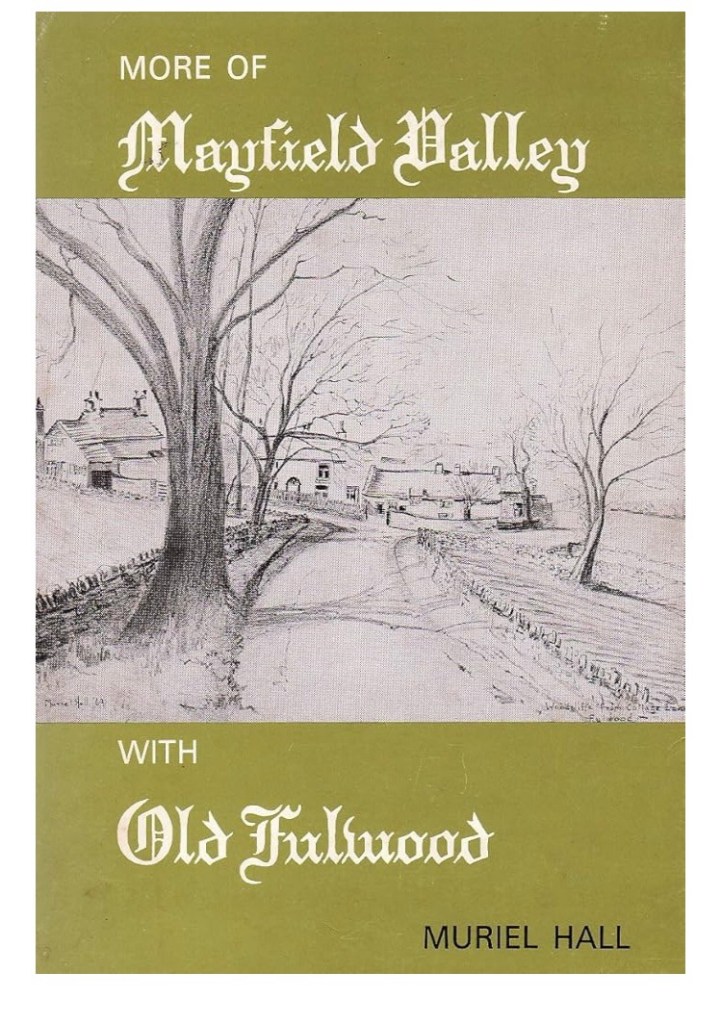
and/or visit the Sheffield Local Studies Library.
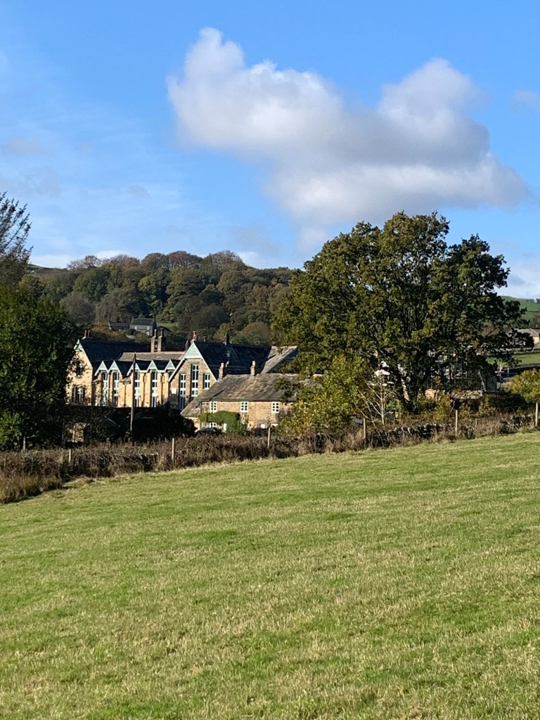
But, just the size of the school building and the chapel next door are an indication of how populated the area must have been in the 19th century as industrialisation of the area was in full swing.
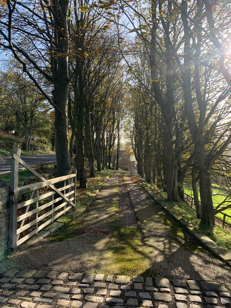
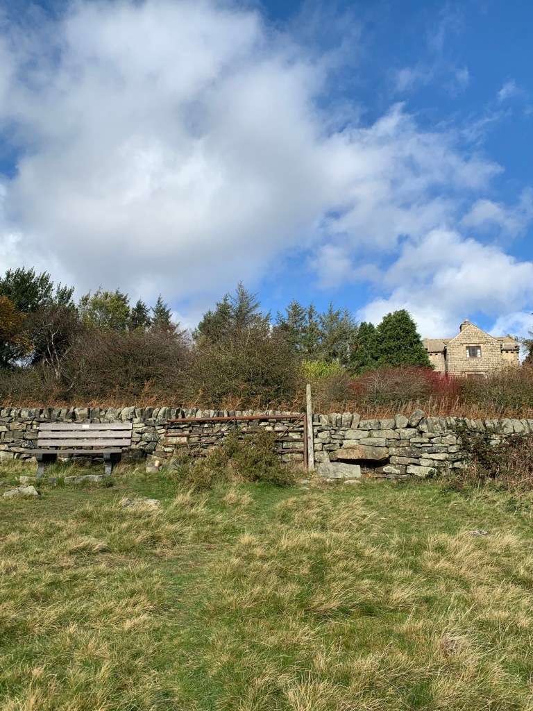
The footpath joins David Lane and we turn right walking below the beautiful old building of Fullwood Hall and at the next T junction we turn left, along Harrison Lane now passing back above the hall.
The Hall has a huge and fascinating history, well documented by Alan Crutch and Susan Hostombe in their book , “Fullwood Hall the first Six Hundred Years”
I was lucky enough to attend a talk given by Alan and found his information on the witch marks in the building particularly fascinating. There’s so much to learn about this building it’s not surprising it’s taken a whole book to cover it.
After passing the long driveway to the hall on our left
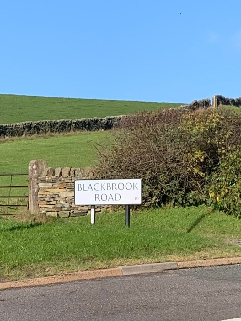
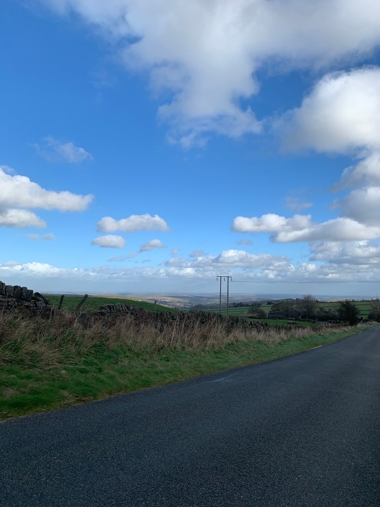
and enjoying our final views back over the Mayfield and Porter Valleys we next turn right along Blackbrook Road
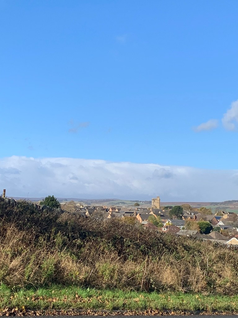
with excellent views now revealing themselves firstly on our right down over the city of Sheffield and then to our left over towards Lodge Moor with the easily visible clock tower of the old Lodge Moor hospital giving us our bearings.
After descending the hill we take the footpath on our left along part of Redmires conduit. This was built to carry clean water from the Redmires reservoirs to reservoirs in Crookes Valley closer to the center of the city following the devastating cholera epidemic of 1832.
After the footpath crosses the next road we’re still following the conduit and now we’re also walking parallel to the overgrown site of old Lodge Moor Camp. This was a prisoner of war camp used in both world wars, in fact it was Britain’s largest World War Two prisoner of war camp, housing 11,000 prisoners at its peak. The site is still being excavated by archaeologists today.
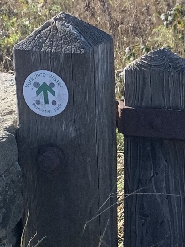
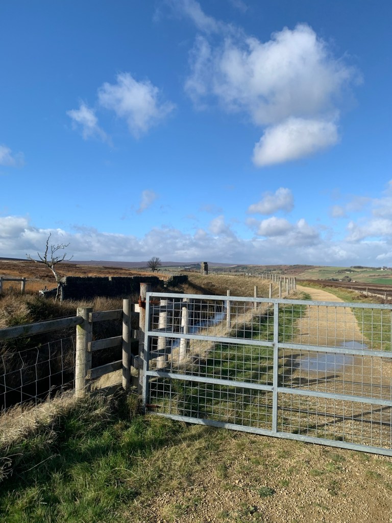
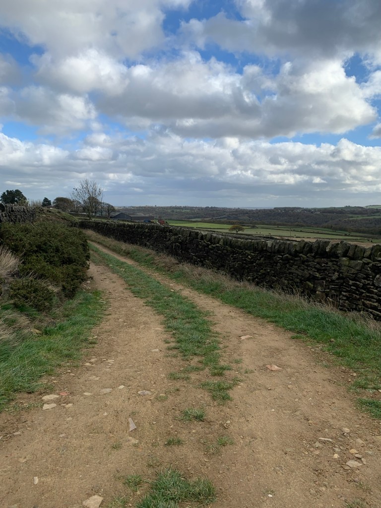
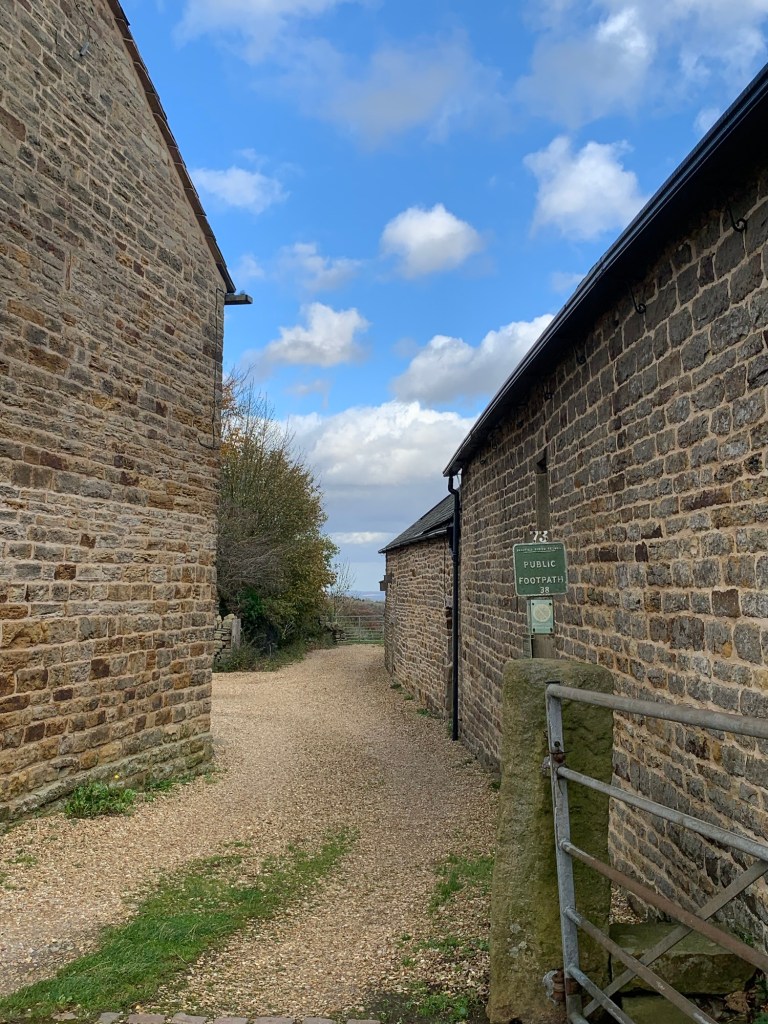
At the next road we cross straight over to follow a permissive footpath through water board land at the bottom edge of the lowest of the three reservoirs.
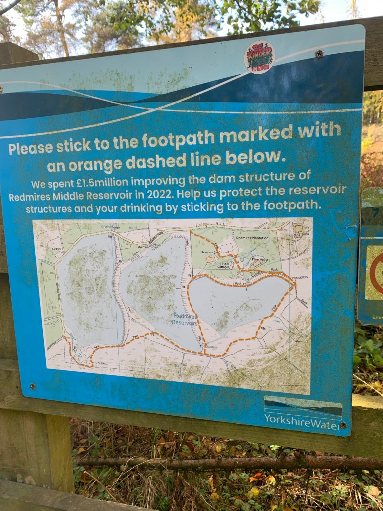
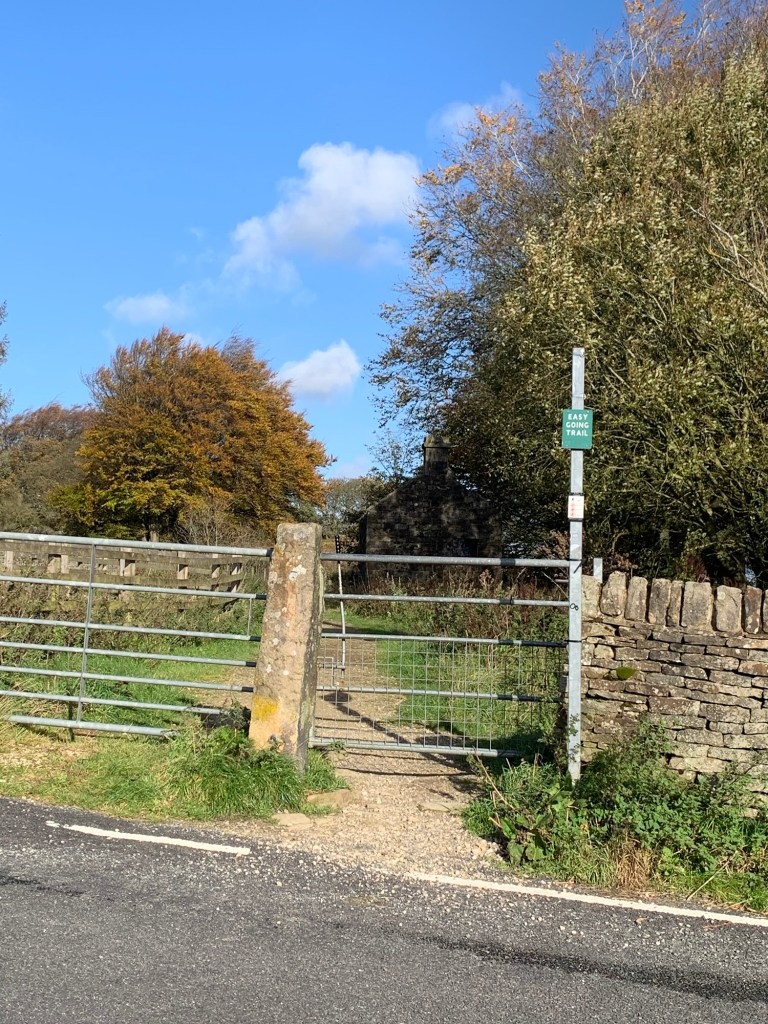
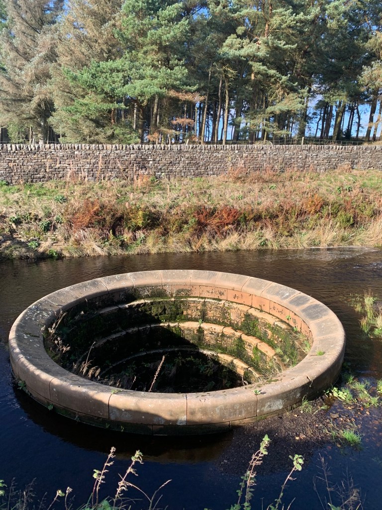
Emerging onto the road which skirts the North side of the reservoirs we briefly turn left and follow the road until we’re level with the dam of the middle reservoir. We cross to the right and make our way along a very smoothly surfaced “easy going trail”
following another conduit and with a beautifully crafted plug-hole overflow at the start.
As we walk on, more magnificent views, now looking over Rivelin and with the Stannington tower blocks marking the end point of today’s walk, reveal themselves away on our right.
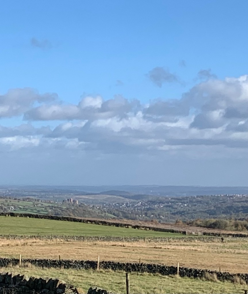
Then as the path curves around still following the conduit we can see over to the Derwent Edges and the back of Moscar and Stanedge.
Views everywhere, it’s like being on top of the world!
We pass a sighting tower
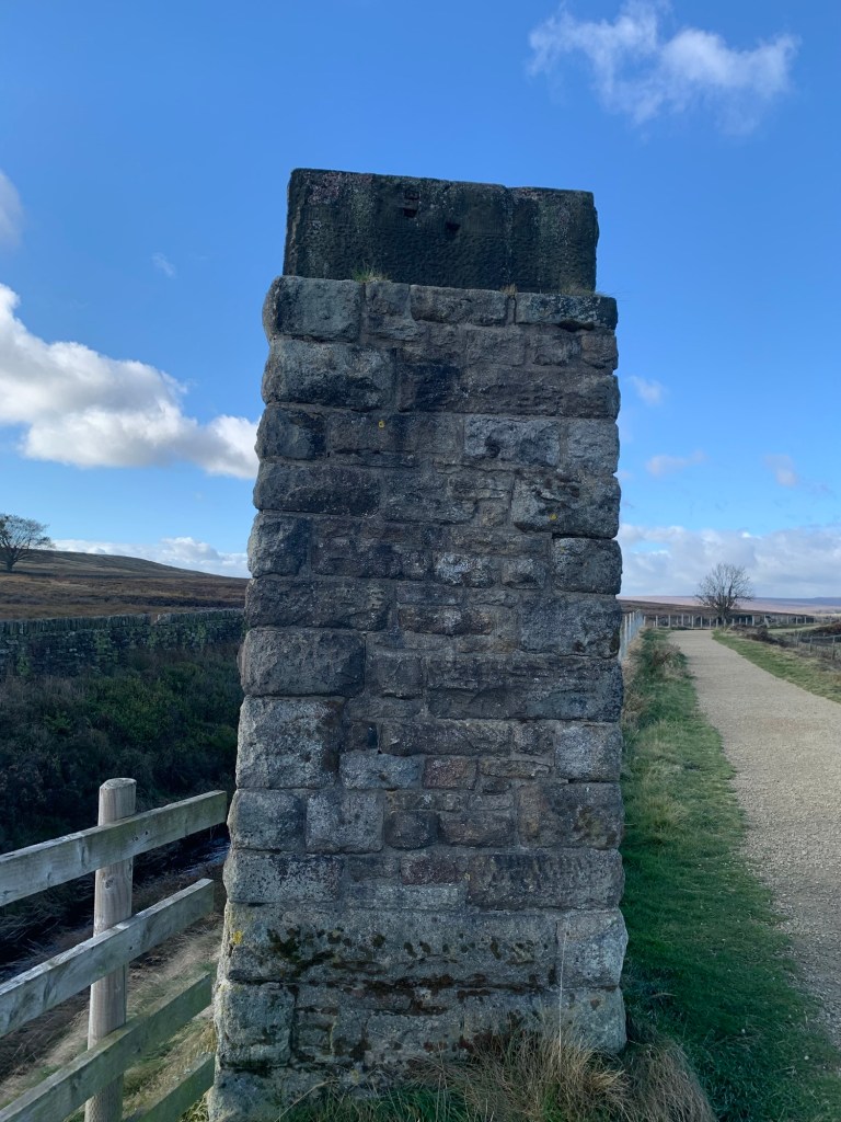
on the left of the path which was used by surveyors constructing the Rivelin Tunnel. The Rivelin Tunnel carries water from the Derwent Reservoir to the Rivelin Reservoir; yet another example of the phenomenal engineering projects that took place in this area in the 19th century.
At a gate and a crossroad of paths we turn right to head steeply down hill and we can now see the Manchester Road and Hollow Meadows ahead of us.
On our left is the weirdly shaped boulder known as the Headstone and next we’re crossing Hollow Meadows Brook on a neat little footbridge
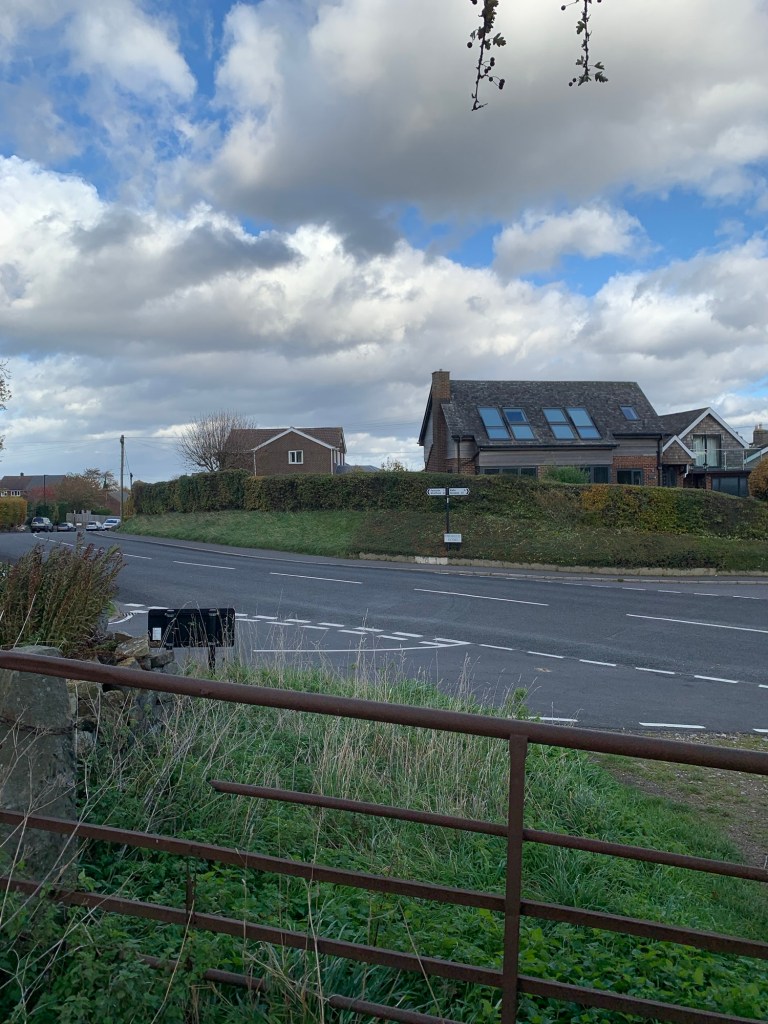
before climbing up to the main road which is manically busy as ever.
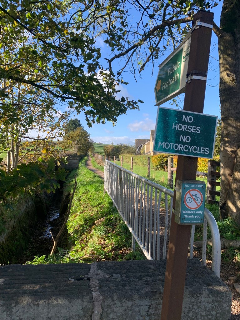
Preoccupied with crossing the road we don’t really linger long at our H for Hollow Meadows and to be fair there’s not an awful lot to see.
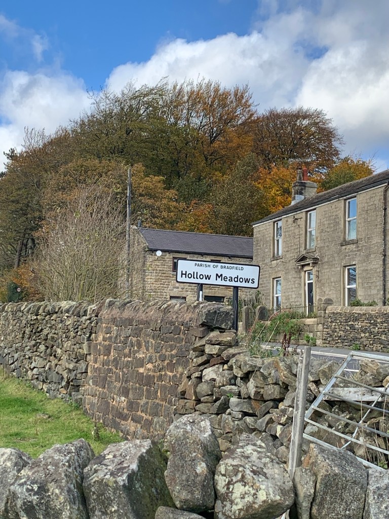
However there’s a heck of a lot of history to the place ( somewhat grim overall but in parts very interesting) so here’s just a summary and a few suggestions for further reading.
The land belonged to the Duke of Norfolk who used it for occasional deer hunting in the 16th century but Hollow Meadows was originally a small and isolated rural hamlet with sheep farming forming the mainstay of the area.
With the advent of the Sheffield to Glossop turnpike road in 1821 the village must have undergone quite a change of character as it was now on a through route. It gained a pub called The Surrey Arms, (later called the Norfolk Arms) to serve the passing travellers.
In 1848 Sheffield Council rented 50 acres in the area off the Duke of Norfolk. An old farmhouse situated where there’s now the tasteful housing development of Hollow Meadows Mews was initially used as a workhouse by Sheffield Board of Guardians for lodging pauper labourers who were used to cultivate the moorland.
More buildings were built to house the children and the elderly of the workhouse and the cultivated land was rented out to tenant farmers.
When a new workhouse was built in Firth Park the building became a school for persistent truants from Sheffield schools and later still it was used as a hospital used for mentally handicapped patients.
The evocative name of Hollow Meadows ( which of course is what put it on the map for us!) apparently comes from a corruption of “Auley Meadows” named for the Hawley family of Fullwood. And on that note, since we mentioned Pulp earlier, it’s only fair to mention that, due to this Hawley connection, the Sheffield musician Richard Hawley even named one of his albums after the place.
Phew, back to the walk…. So, we’d just crossed the A57… and now we follow the footpath directly opposite where we emerged onto the road,
passing Surrey Farm on our left and we take a line straight up the valley side first through fields and then through the gorse and out onto the lane known as Rod Side.
Turning right along the lane
there’s a lovely stretch of open road and we can see back over the valley to the Lodge Moor clock tower and quite a lot of the day’s walk.
It’s certainly a walk for great views ( and clear weather to go with it which always helps) and next we have views coming into sight on our left over towards Loxley Common.
We stop to pick out part of our A for Agden
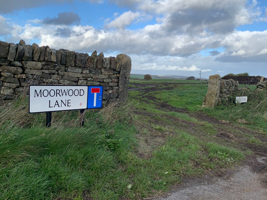
route before we turn right at a crossroads onto a restricted byway towards Ronksley Hall farm. Opposite the farm we turn left along Moorwood Lane,
on through the buildings known as The Flash
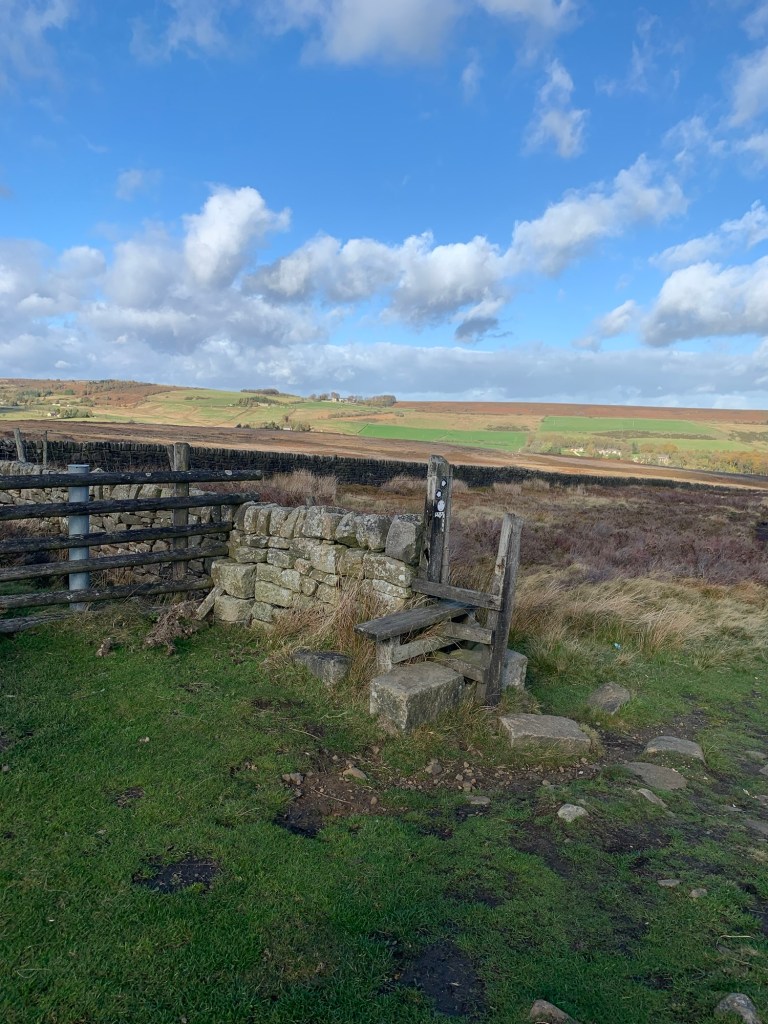
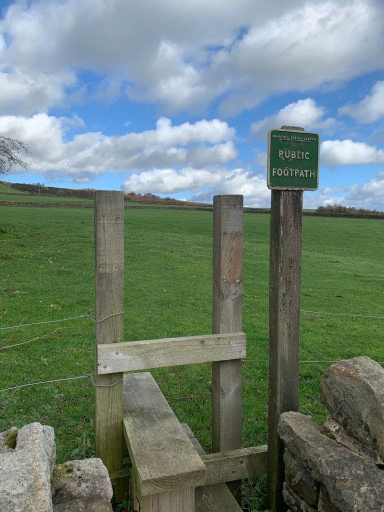
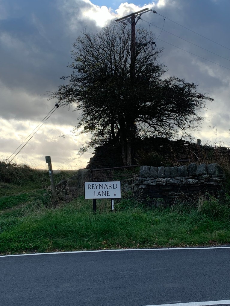
and then along the field path with lots of stiles and still more splendid views until we pop out on the edge of Stannington at the bottom of Reynard Lane.
We turn up the lane and then turn right at the top. We’re on Uppergate Road with further memories of the start of our Agden walk as we head past the Crown and Glove which will soon be dusting off the local carols for another year end.
And at long last we are finally going to stop at a cafe! We make straight for Kafe Stannington situated in the park where we enjoy a long overdue cuppa and some huge slices of very modestly priced cake.
All that remains now is to work out which bus stop we need for the 81 heading towards the city centre. We try a few options before settling for the Oldfield Road stop near the Oldfield Road Co-Op, but there’s really no reason for this apart from the fact that it’s a bit blowy today and we are trying to keep warm.
The bus arrives bang on time and we’re feeling very pleased with our walk, quite a variety of terrain and with spectacular far reaching views in all directions. We’d definitely do it again. But as we’re heading home we realise there’s next week to think about
….where on earth will we go for “I”?
TRANSPORT
Buses from Sheffield centre including 81, 83, 88, 65, 272….
81 bus back to city centre from Stannington
PUBS/CAFES
Endcliffe Park Cafe
Forge Dam Cafe
Kafe Stannington
The Crown and Glove
HOW FAR?
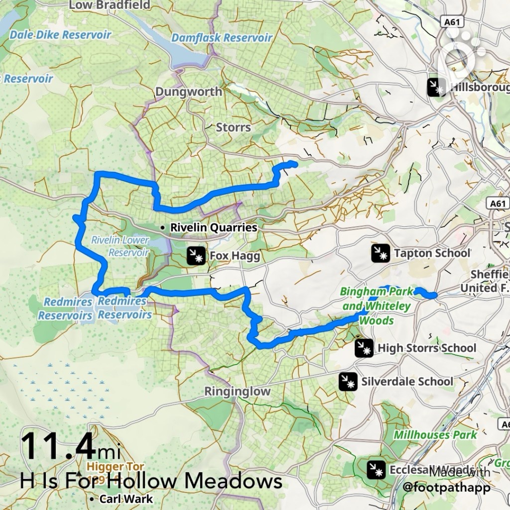
Around 22k
ROUTE SYNOPSIS
Endcliffe Park, Bingham Park, Whiteley Woods, Mayfield Valley, Blackbrook Road, Redmires Conduit, reservoir, Redmires Easy Going Trail, Hollow Meadows, Rod Side, Ronksley Hall Farm, Stannington
DOGS?
Porter Valley and Redmires is very popular with dog walkers. You can expect livestock and stiles on the footpath from Hollow Meadows to Rod Side and the field path from The Flash to Stannington .
https://footpathapp.com/routes/DB224D9D-D1EA-4828-95D3-D65023E07335?units=metric

Leave a comment