“Where?” I hear you say….
Read on for the latest in our alphabet of walks.
We can confidently say that there are not many places around here beginning with the letter I.
We’d almost settled on Ible, near Wirksworth, which would have been a lovely walk but when we realised we’d probably be spending longer on the bus than actually walking it was back to the maps in the hope that, if we stared hard enough, a closer destination might materialise.
Going on the hunch that “Ing” is a bit of Old Norse and that there are quite a few “Ing” places further afield in Yorkshire we tried searching for “Ing” places in Derbyshire and, hey presto, up popped Ingmanthorpe, a hamlet near the Linacre Reservoirs; it was too good a chance to miss!
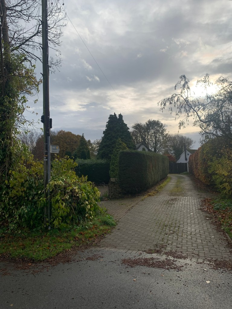
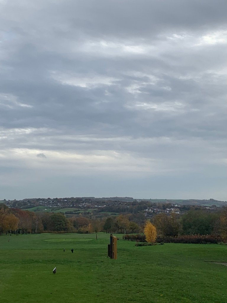
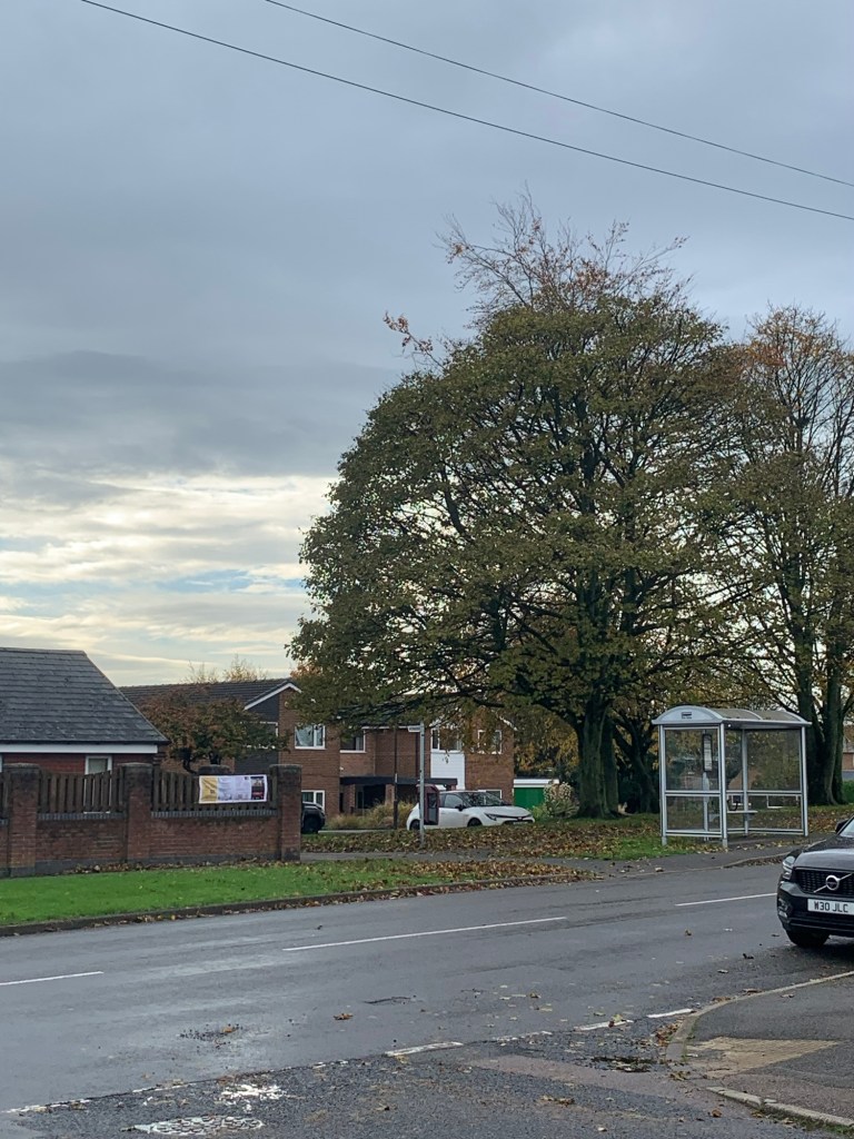
We began with a ride on the 76 bus to the last stop on Hemper Lane, just opposite Elwood Road and near the Moorview golf driving range.
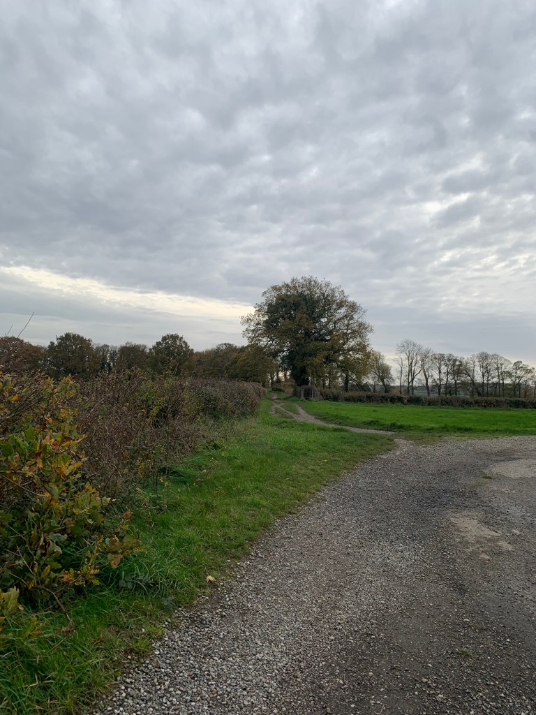
After crossing the busy Greenhill Parkway we began our walk on what looked like the driveway to someone’s house and we were soon following an astro- turf path across the ( confusingly named) Dore & Totley Golf Course.
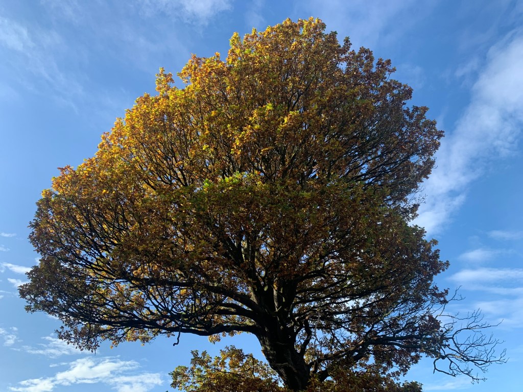
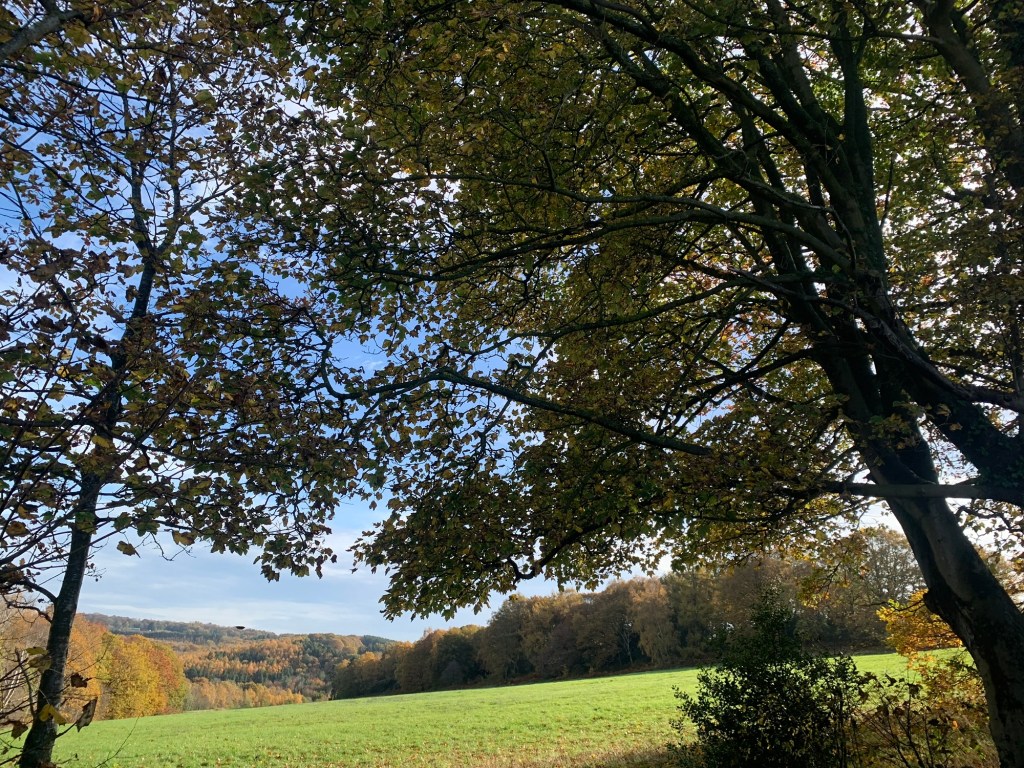
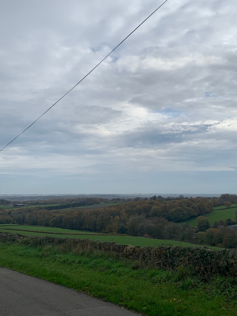
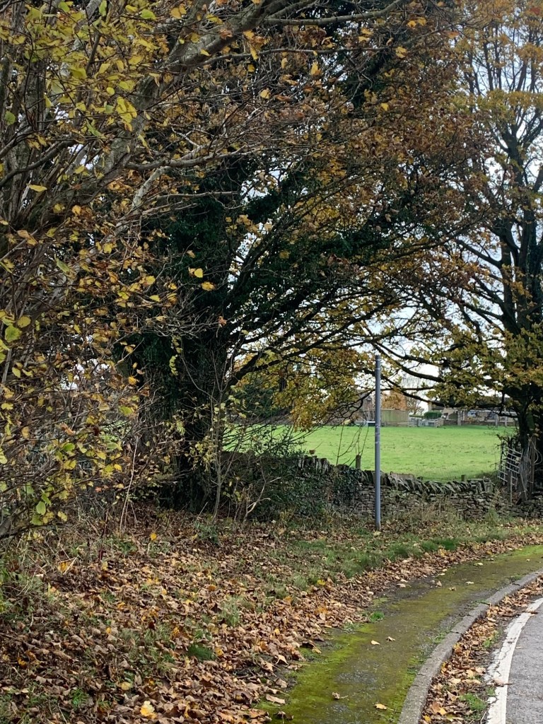
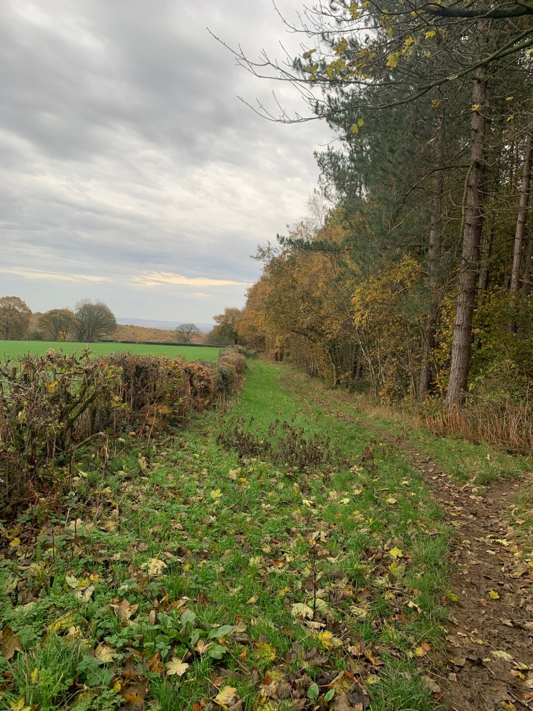
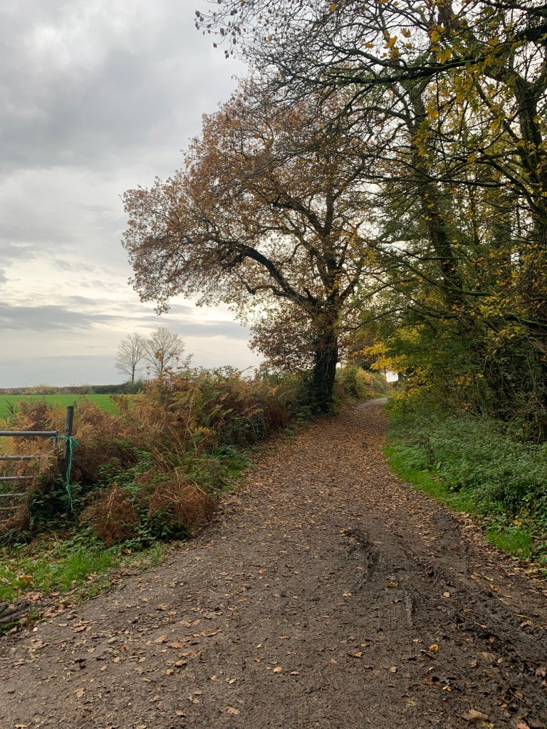
Mindful of airborne golf balls we didn’t linger long but even so it was an impressively beautiful scene with the trees showing their autumn colours and the weather looking like it might pick up.
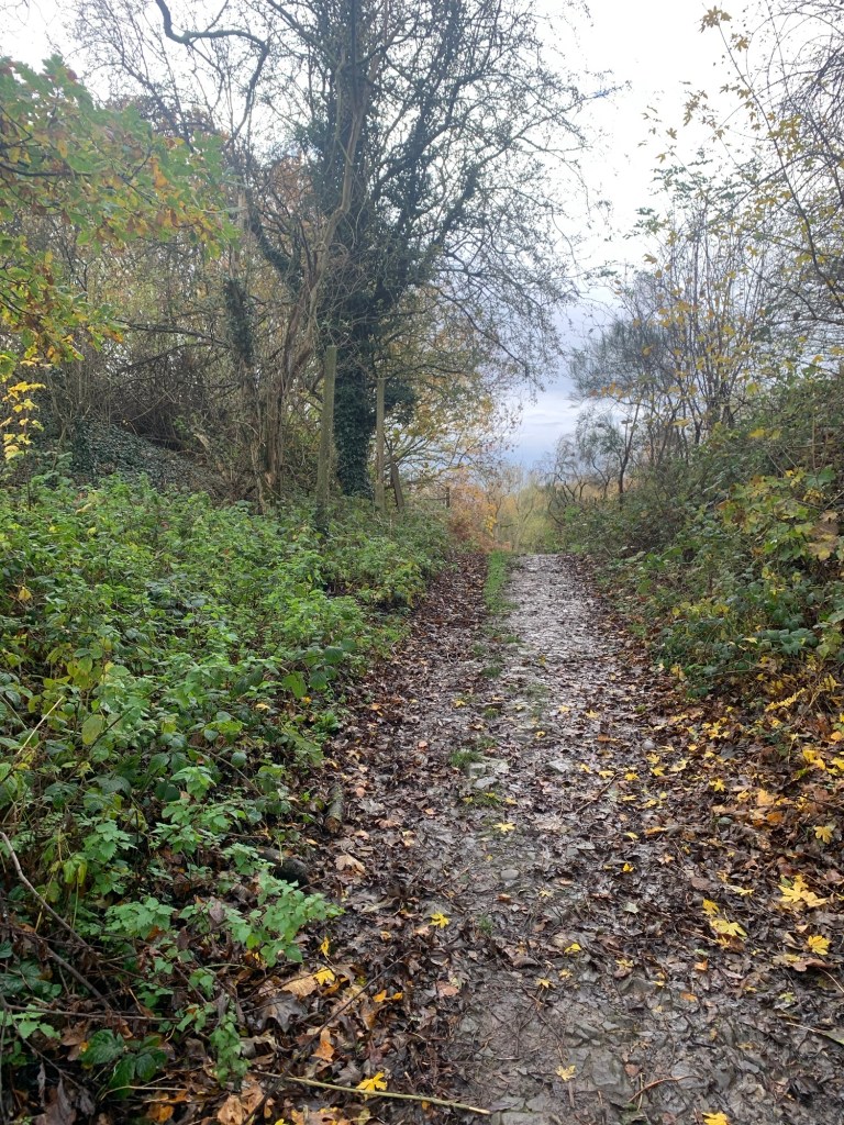
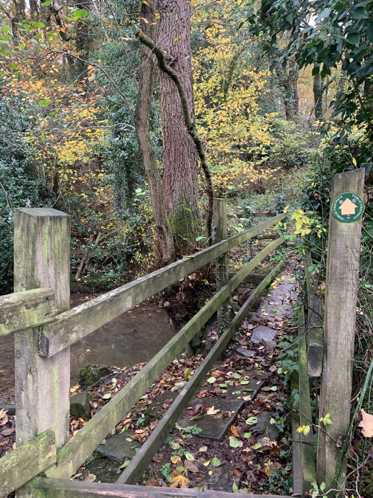
We were pretty soon off the actual golf course which made for a more relaxed pace and the path continued to be well defined, winding pleasantly with footbridges over a couple of streams and some good views over towards Coal Aston or back towards the Norton Water Tower.
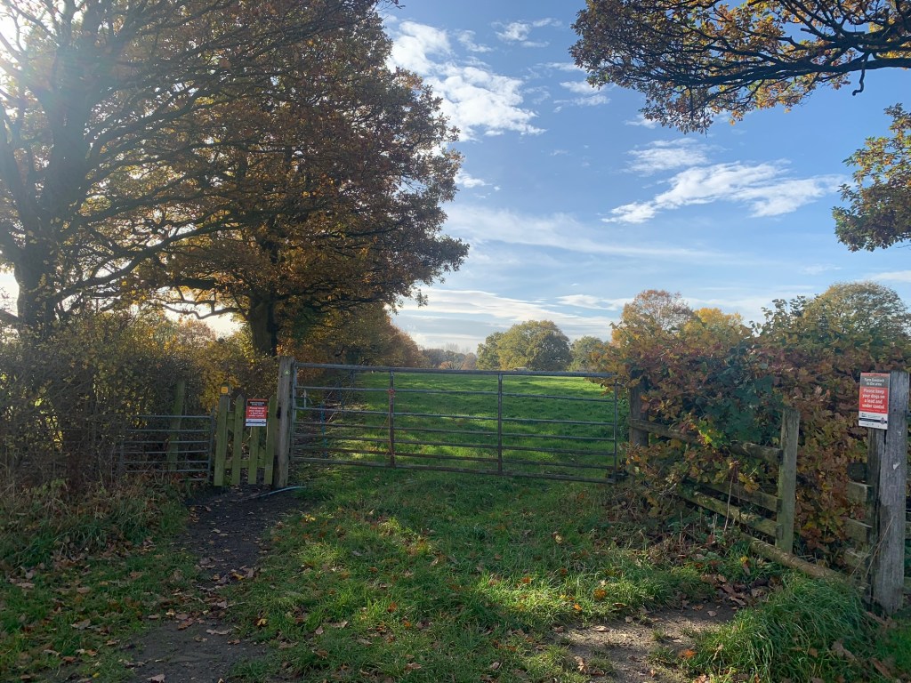
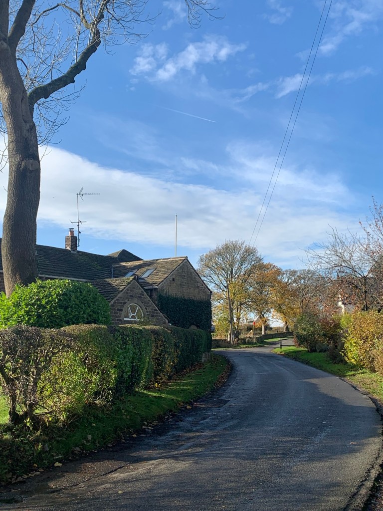
Before long we emerged onto Barnes Lane and found ourselves on the edge of Dronfield Woodhouse.
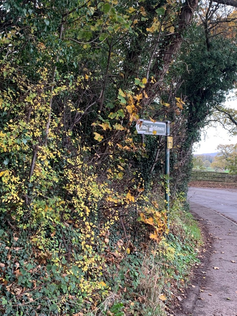
Directly opposite the end of Barnes Lane on the other side of Carr Lane we spotted a finger post which set us happily on our mainly traffic-free way through Dronfield Woodhouse passing Gorsey Brigg and St Andrew’s Schools, the health centre and The Jolly Farmer pub ( too early for us to become jolly hikers ) before crossing Sindelfingen Park and following left briefly along Gosforth Drive before promptly leaving all the housing behind us and taking our next footpath towards Cowley and Barlow Lees.
The trees were even more vibrant by now as the day had turned beautifully sunny and decidedly warm.
This was simultaneously becoming a more and more beautiful walk with weather to match.
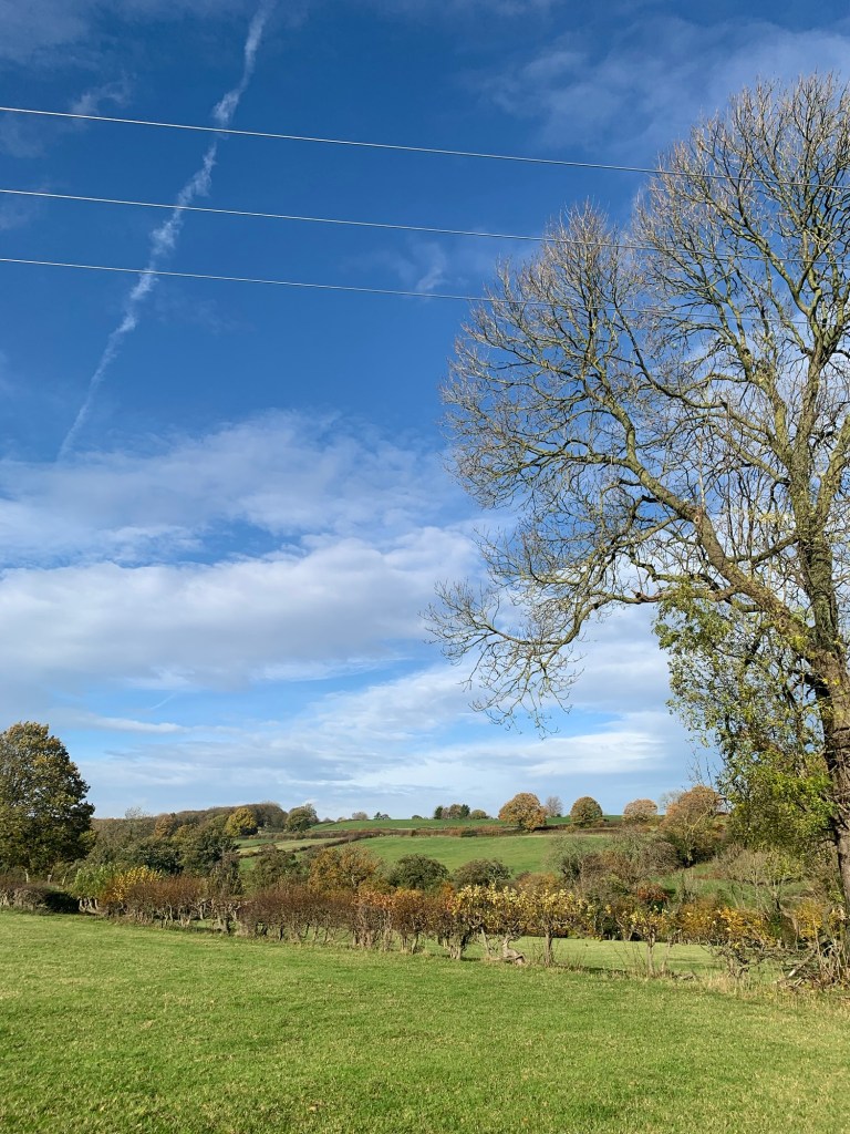
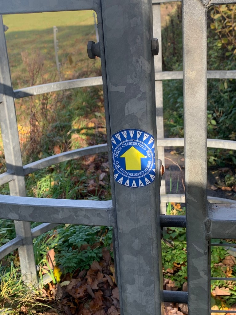
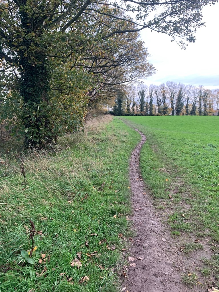
Another unexpected bonus was that the paths thus far were all well signed and defined giving us plenty of opportunity to look around as we walked.
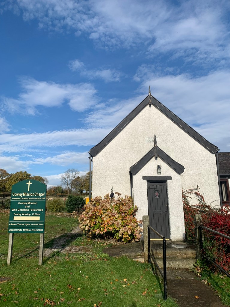
At Cowley there’s a tiny chapel. The mission started in a private house in 1888 and five years later became established in its own building where it continues to be used today. Apparently the name of Cowley meant “The clearing of the charcoal burners, “ which maybe indicates a more industrial past but today apart from the chapel there’s not much else to be seen.
Once past the chapel the footpath continues to the next hamlet of Barlow Lees.
Where a path breaks off to the left, keep straight on.
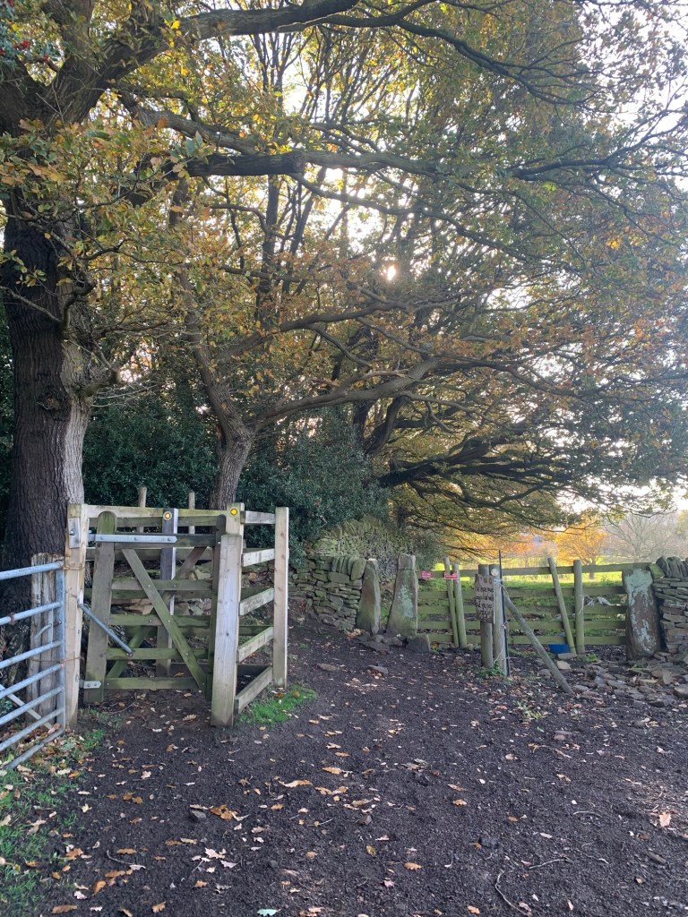
After a field path look for a yellow arrow on an old barn to stay on track.
I was looking forward to seeing an old Manor House at Barlow Lees but on arriving realised I’d confused Barlow Lees with Barlow Woodseats on Johnnygate over the other side of the valley.
Never mind, I’ll save it for another day!
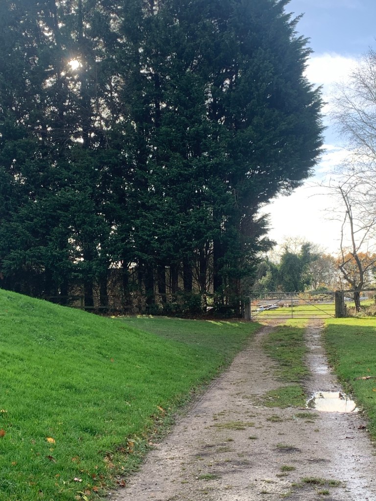
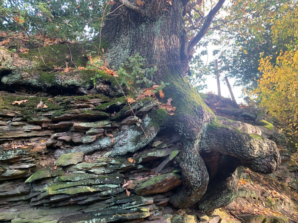
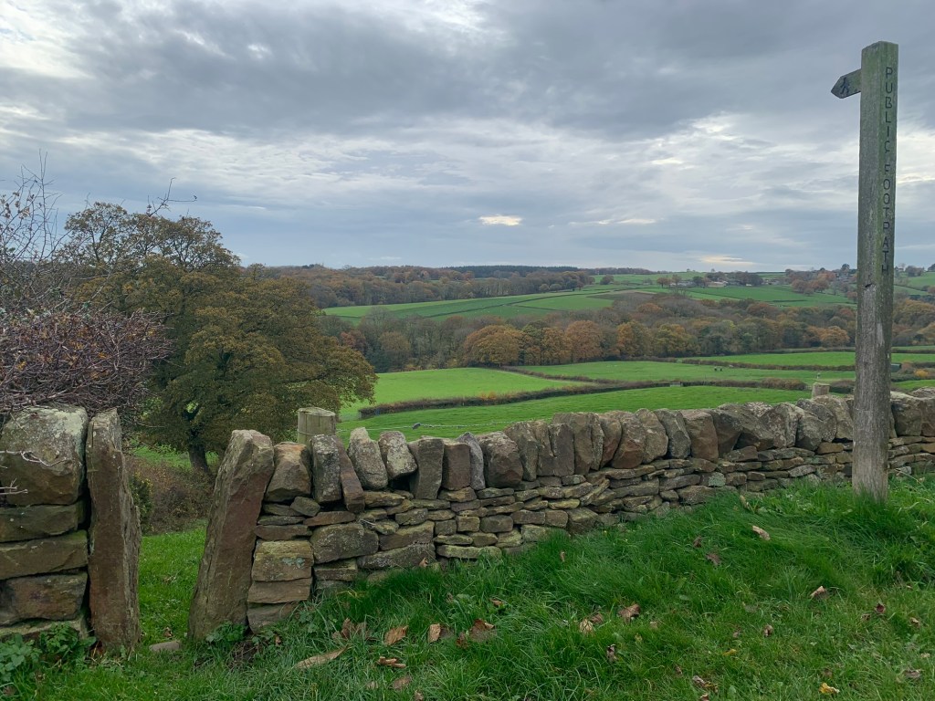
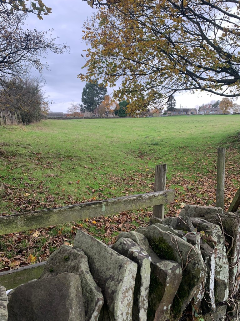
After Barlow Lees the path continues to lose height. In the woods there are a few paths to choose from, so we guessed a bit and turned towards our left after passing a strange tree that had grown around a wall.
This worked out well as we soon popped out of the trees and found ourselves at the end of Commonside Fishing Lakes just opposite Lee Bridge.
I don’t think it’d matter too much if you took any of the woodland paths as long as you’re heading downhill and keeping generally to the left.
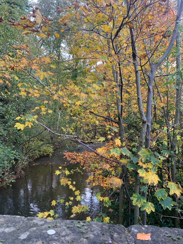
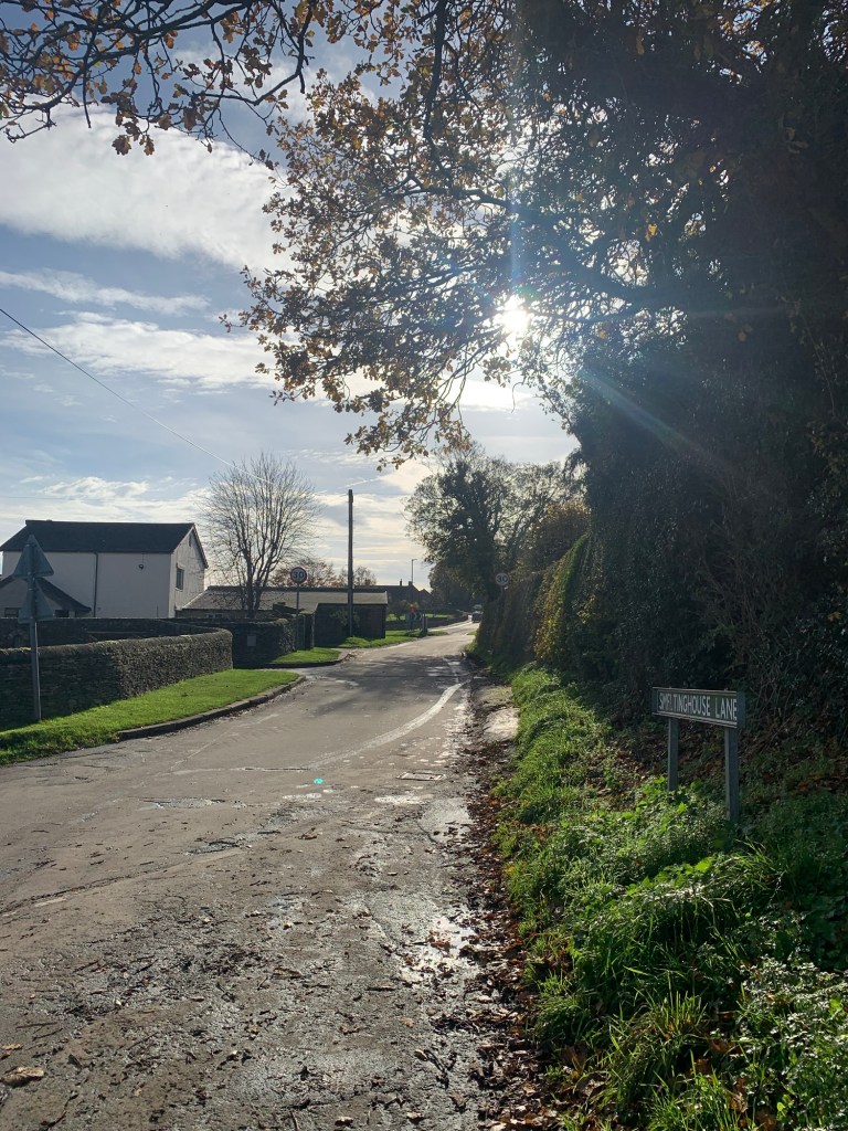
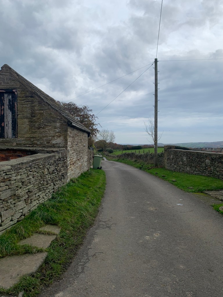
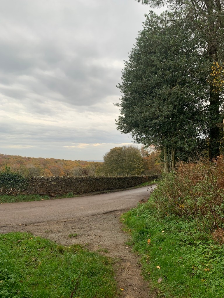
Crossing the lovely old bridge ( a Grade II listed 18th century packhorse bridge) we climbed up Smeltinghouse Lane turning left at the top into the village of Barlow.
It kind of dawned on me whilst walking that there seems to be a Barlow sub-theme to this walk, and actually, on further investigation, it’s not that they were short on place names, it’s due to this area having been part of the huge and powerful Barlow Estate which was owned by the ancient Barlow family.
It seems the area had strategic importance for transportation and was a stop on the early packhorse routes
with Lees Bridge serving as a crucial crossing point to Dronfield and Sheffield.
As industries developed in the area these routes helped transport coal to and from areas like Chesterfield.
Maybe today we are unwittingly retracing the steps of the past?
Passing the Church we soon spot today’s cafe stop, Hackney House Cafe & Deli,
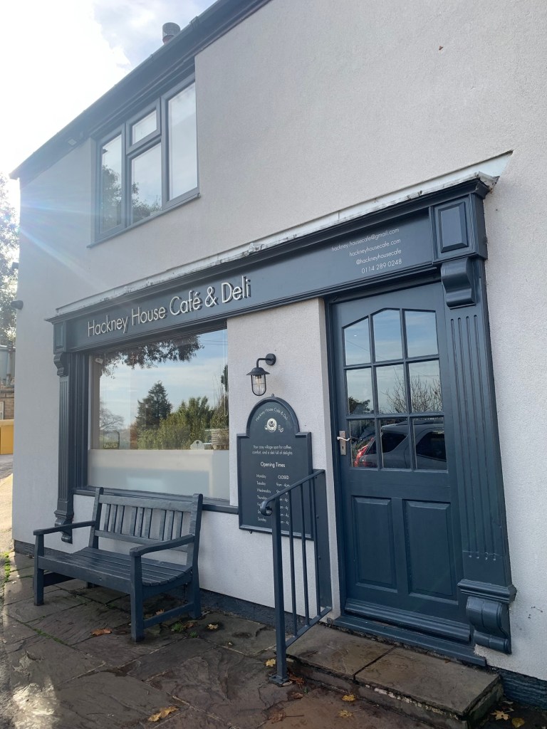
Wow, this is a cafe to return to whether you’re into cakes or savouries, or both, …and aided and abetted by the always hoped for real pot of tea ( with extra hot water) providing the perfect thirst quencher, this place takes some beating.
So, suitably refreshed we continue on the next leg of our journey towards Ingmanthorpe.
The cafe is on the corner of Wilkin Hill and up we go towards the small cluster of houses known as Newgate. Do not take the first restricted byway on your left but do take the next footpath afterwards, before reaching the houses of Newgate. The path is not defined but just head right diagonally until you reach the field boundary and then, with the footpath now much clearer, head straight downhill to a footbridge over Sud Brook.
Our earlier luck with the paths now seemed to have petered out (as had the sunshine) and we wasted time after the footbridge looking for a path that wasn’t there and following one that was ( but not the right one!)
So, our advice after crossing the footbridge is to follow the path up the bank to the gate.
and then just take a diagonal line across the field aiming for a gate with a tall post at its left hand side.
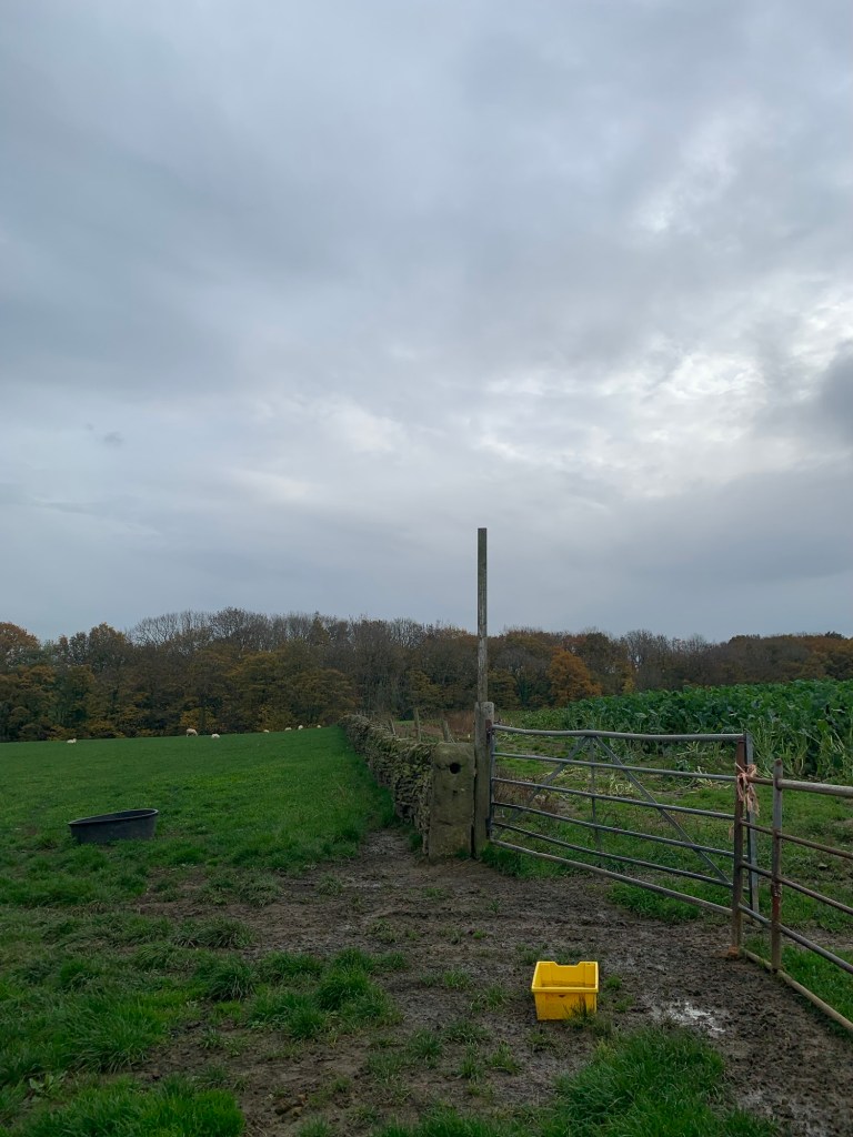
Today the field was being grazed by sheep so if this is the case, it won’t be a problem. If crops have been sown you’ll just have to walk around the field boundary to get to the same gate.
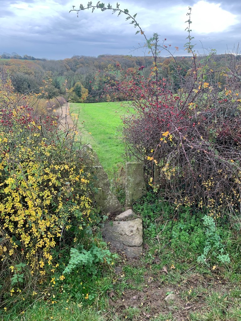
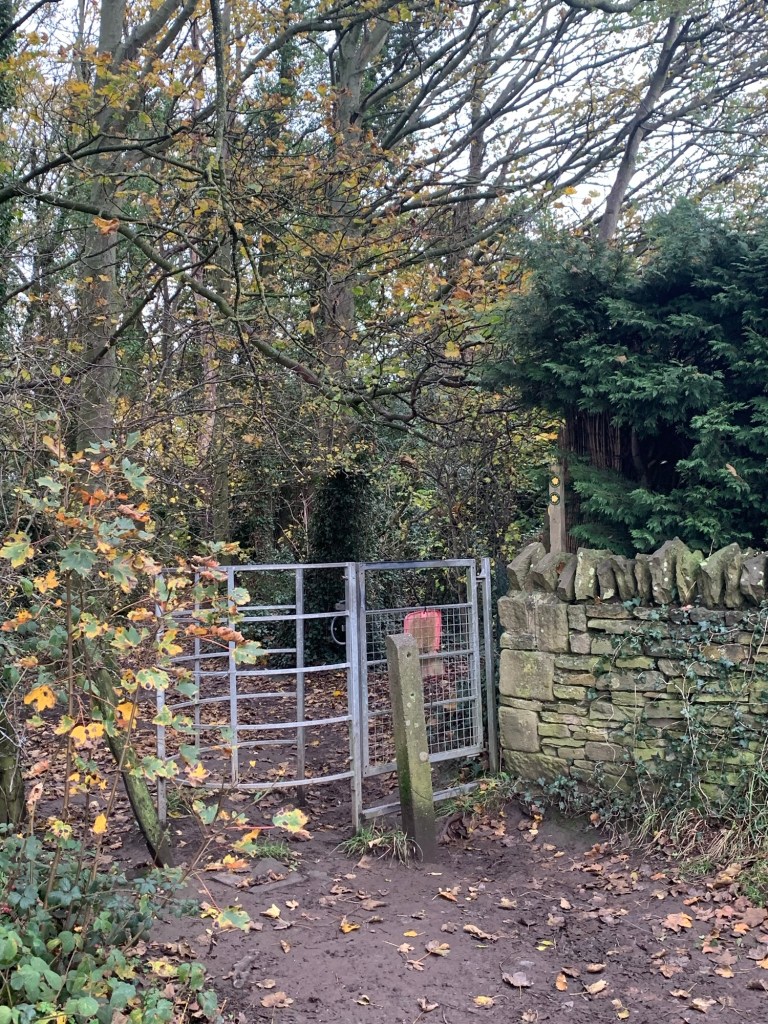
BUT do not follow right along the top of the river bank wood and go through this stile
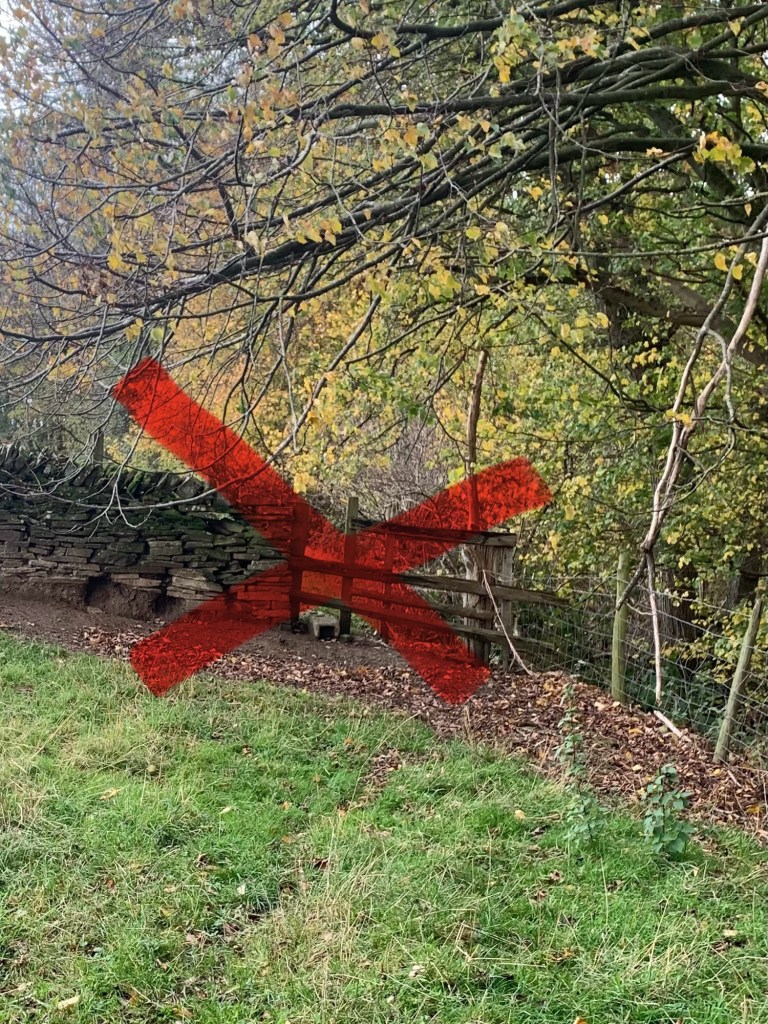
…….otherwise you will never get to Ingmanthorpe!
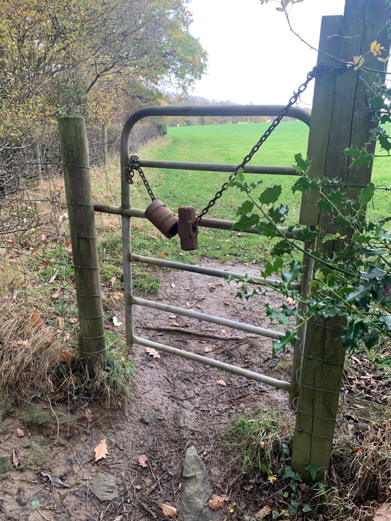
Back to the correct route; go through the gate with the pole and head straight along the cart track ( today we had cabbages for company in the field on our left )
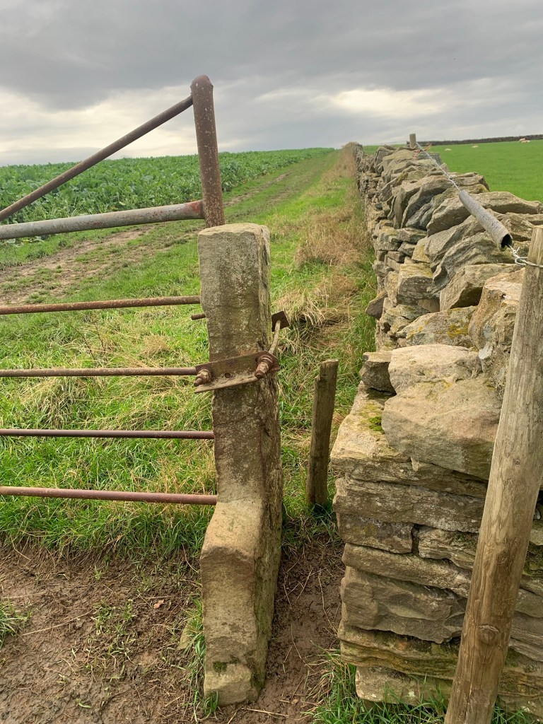
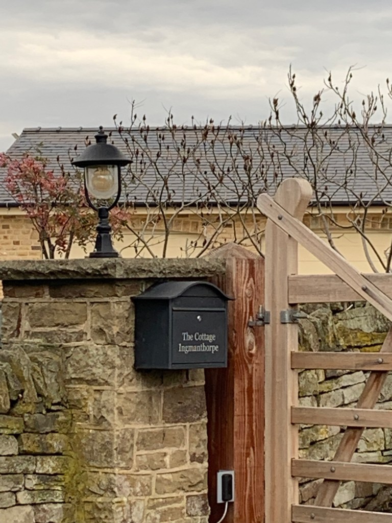
and, soon in sight, the cluster of buildings ahead is none other than Ingmanthorpe, the I of today’s walk.
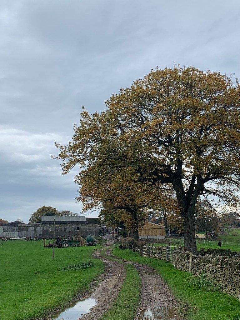
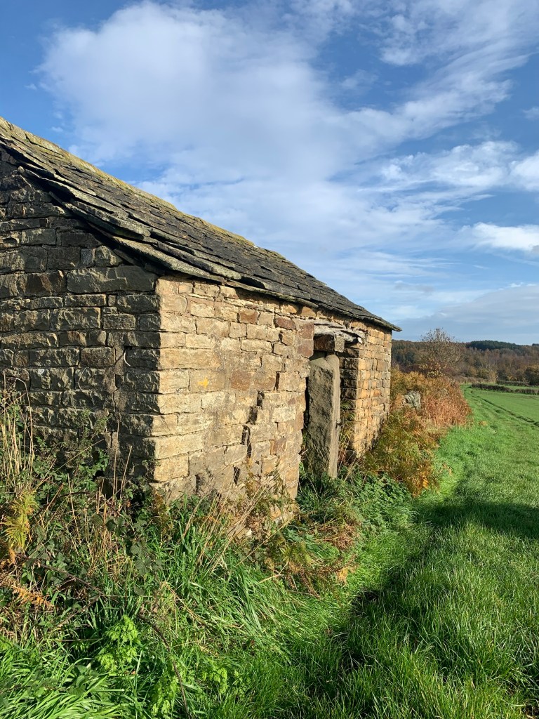
Well we weren’t expecting much, but at least last week’s Hollow Meadows had a road sign! In truth Ingmanthorpe might have been more of a place, back in the day, but it’s really just a couple of farms and one obliging house that owns up to being in the afore named hamlet.
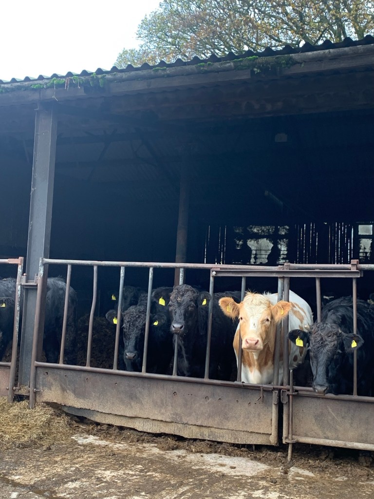
Well the cows look happy to see us anyway and it’s turning out to be a much better walk than we anticipated so we are definitely not complaining.
Our next unexpected bonus is a pavement along the B6050 which we follow to the right until a footpath takes off the next bend for us and leads us through a variety of rickety
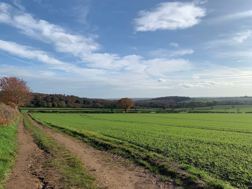
gates/old yards and onto a lovely little lane. We turn left past Pratthall Farm and enjoy the far reaching views and the obvious track underfoot which we follow all the way down to the car park for Linacre Woods and Reservoirs.
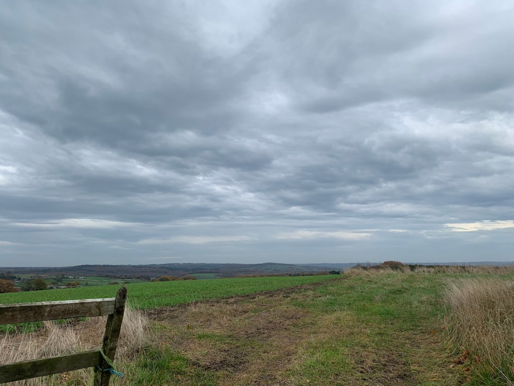
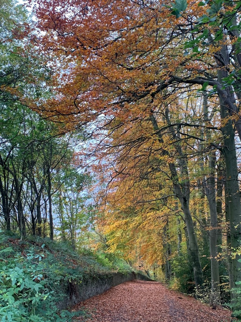
Although we are not going to see the reservoirs today, the next stretch heading gradually downhill through the trees of Linacre Woods is incredibly beautiful and one of the highlights of the day.

At a crossroads of paths we continue straight ahead and uphill
and now on our left we can see the roofs of Woodnook and we start to feel as though we’re edging nearer to Chesterfield, the end point of today’s walk.
The path we’re on emerges onto a fairly busy road and we turn left along it briefly.
We’re just on the edge of Ashgate but across the road is our next path which turns out to be very pleasant and open as we head towards Brookfield. Don’t be put off by the ambiguous sign, it’s a public footpath and in regular use too if today is anything to go by.
We’re not just on the edge of Chesterfield but also on the edge of the OS Map too!
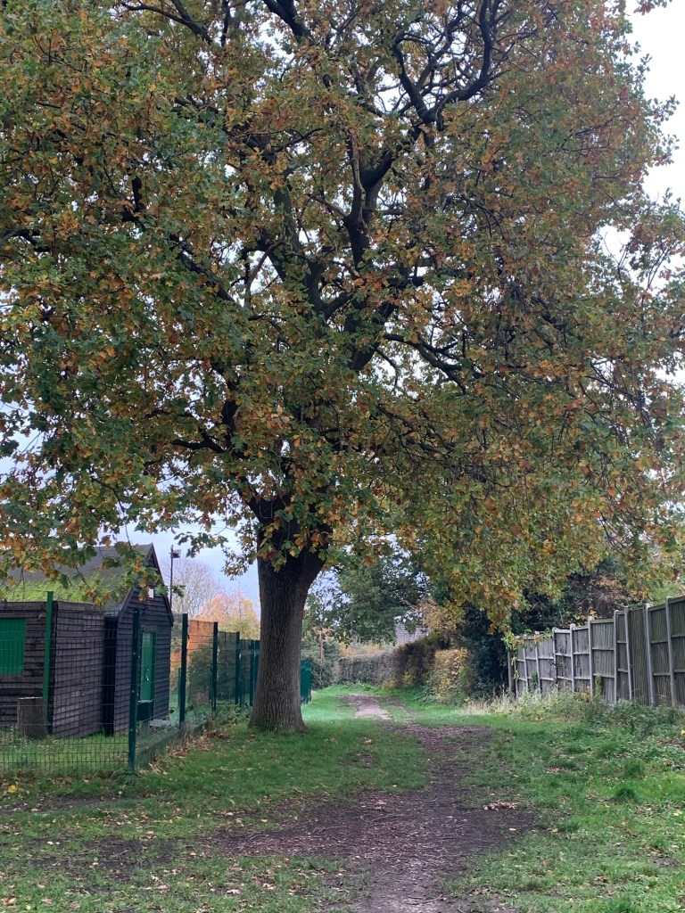
Just before we “walk off the map “ we head left through more woodland
and as Google predicts we soon pass a scout hut.
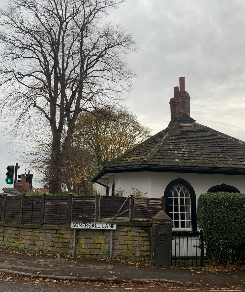
Glancing up ahead we get a far off view of Chesterfield’s crooked spire which is quite exciting and then we guess and google our way vaguely to the right where we come out onto Brookfield Avenue bang on target for Somersall Lane opposite, fronted by its quaint little lodge house.
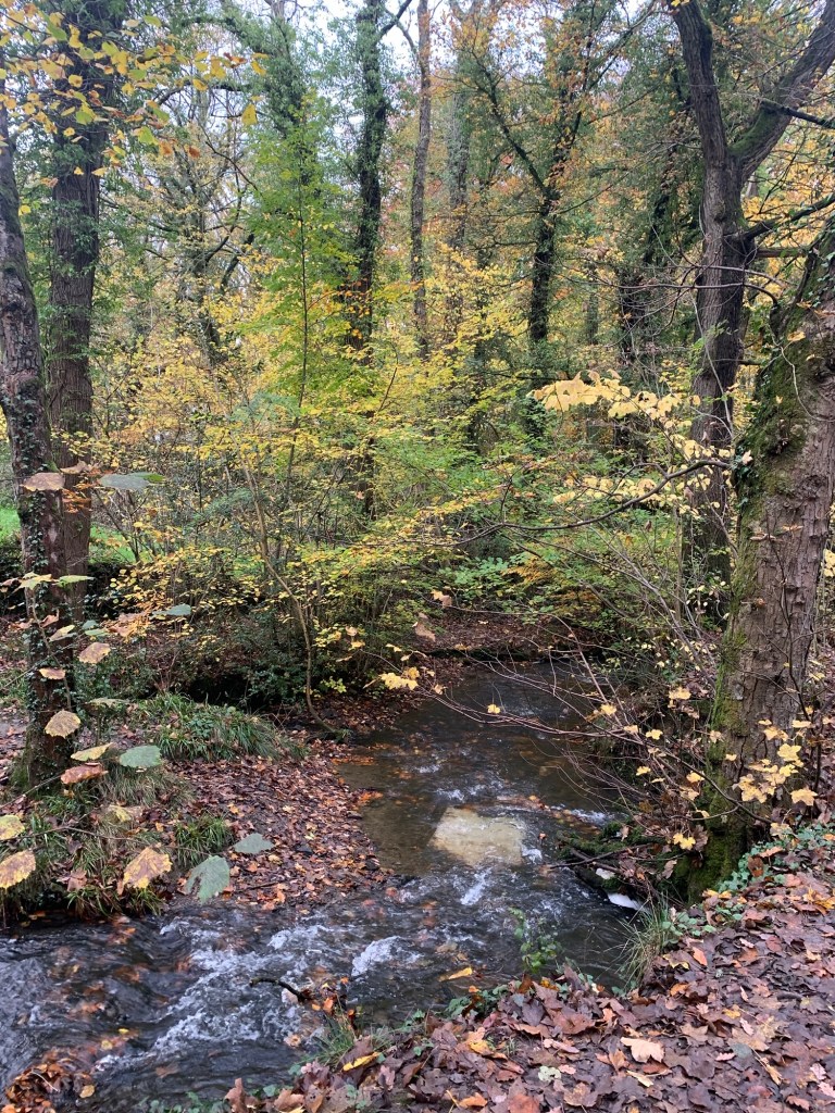
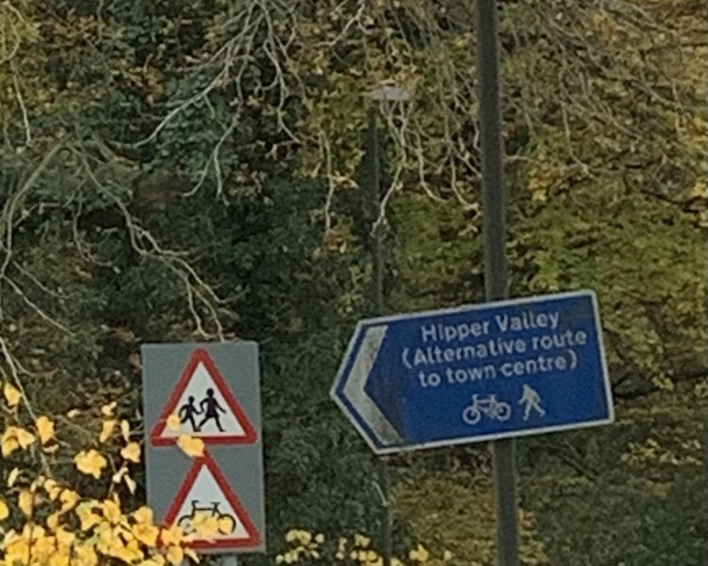
We head downhill along the tree lined Somersall Lane until we reach the River Hipper at which point we turn left along the Hipper Valley Trail which is a cycle/pedestrian route which leads into the centre of Chesterfield.
Not only that but it’s really beautiful with it; slightly reminiscent of our Porter or Rivelin Valley walks and apologies for sounding like a scratched record but the trees….well yeah, you know, they’re really beautiful today!
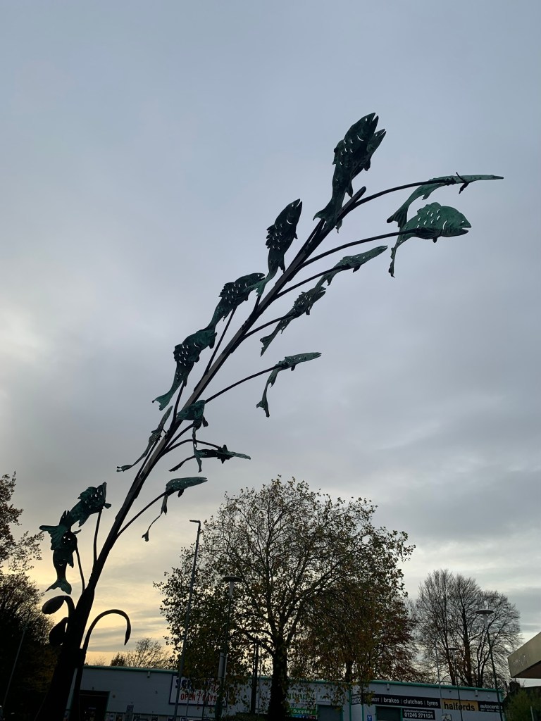
After the very scenic Walton Dam we find ourselves at Morrisons where the Hipper disappears underground and is represented by a rather lovely fishy sculpture that no one seems to notice.
We decide to stick to the back roads and head behind Morrisons along Bobbin Mill Lane. At this point the surroundings suddenly morph into something like a dystopian film set but hey, we’re walking into a sizeable town and actually some of the factories in the area are still functioning by the looks of it.
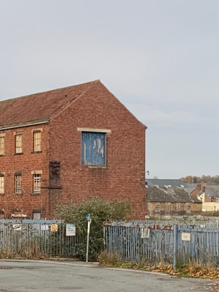
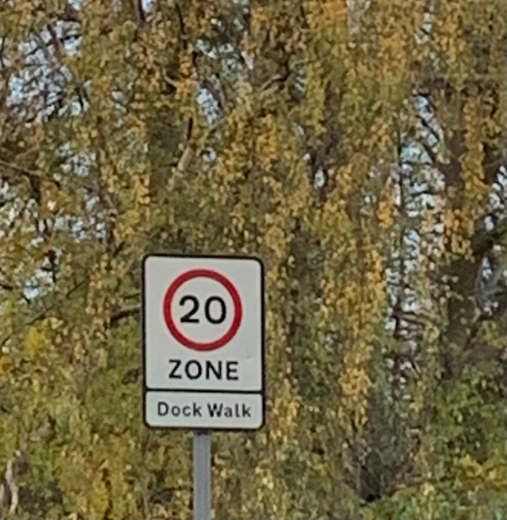
After a ginnel through to Goytside Road we continue onto Dock Walk where slimey segments of the old water leats that helped power the water wheels to power the mills in the area are still visible from time to time.
The “dock” of the place name however, is nothing to do with water. It was a railway sidings dock during the more industrial times of the town’s history.
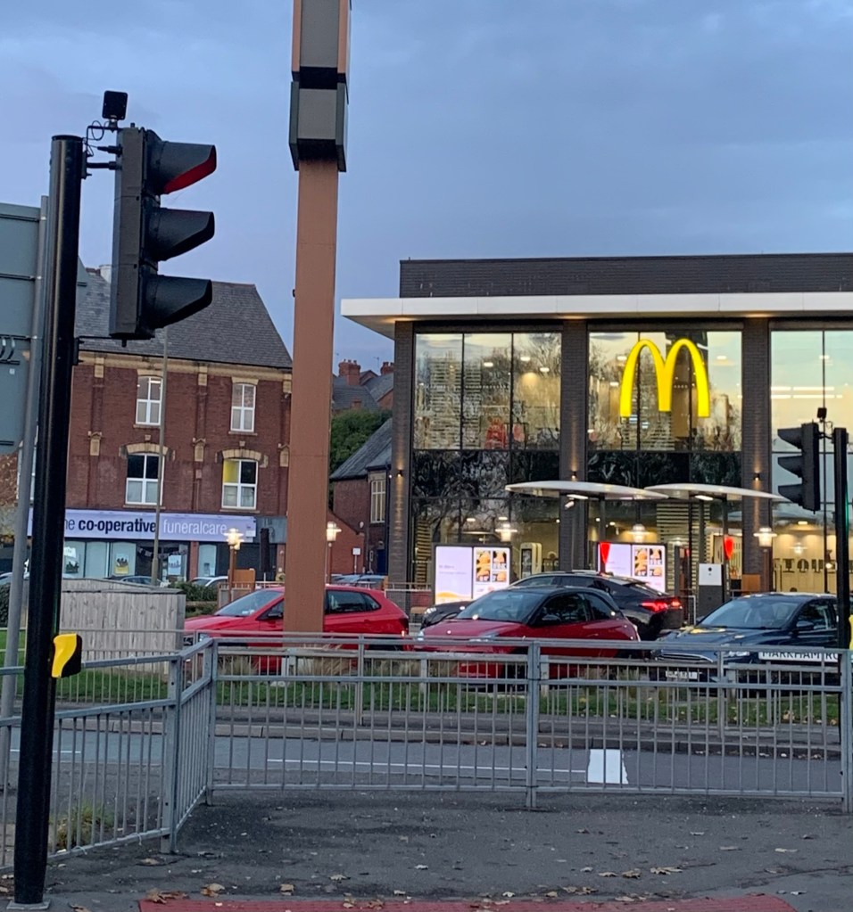
As Dock Walk exits onto Boythorpe Road we head left towards the big road island and past MacDonalds to get onto West Bars.
We’re heading for New Beetwell Street and hoping for a 43/44 or failing that it’ll be a train from over the bypass at the station.
But….the first bus stop we reach has nothing less than an X17 pulled up at it and it says it’s headed for Sheffield! Turns out the driver has been battling with the doors which are jammed open but just as we pole up he gets them working again and tells us to jump aboard.
We really can’t believe our luck and it’s a very swift journey home at the end of our unusual day’s walk. It’s been brilliant and no less beautiful and interesting for being entirely outside of the National Park and semi urban in places.
This is definitely an area we’ll be looking to come back to and we hope we might have inspired you to try it too.
Especially recommended for Autumn ( because of the trees!)
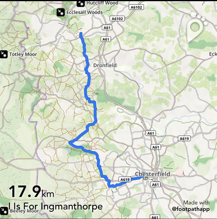
I is for Ingmanthorpe
TRANSPORT
Buses from Sheffield to Bradway 76, 76a, 76e
Buses back from Chesterfield 43, 44 and X17 or trains Chesterfield to Sheffield
PUBS/CAFES
The Jolly Farmer, Dronfield
Hackney House Cafe and Deli, Barlow
Pomegranate Coffee Shop, Chesterfield
HOW FAR?
Around 22k
ROUTE SYNOPSIS
Dore & Totley Golf Course, Dronfield Woodhouse, Crowley, Barlow, Ingmanthorpe, Linacre Woods, Ashgate, Brookside, Somersall, Hipper Valley Trail, Chesterfield.
DOGS?
Mostly suitable, one or two stiles and fields with livestock.
MAP
White Peak OL24 as far as Brookfields and then Google Maps.
https://footpathapp.com/routes/1162037C-0F73-4FD6-ACC6-9CA80595C16C?units=metric

Leave a comment