Today’s walk starts from the small hamlet of Kelstedge which lies on the A632 Chesterfield to Matlock Road, and is part of the parish of Ashover.
Since the X17 stops here on its way between Barnsley and Wirksworth we thought it would make for a handy “K” walk. It’s fair to say that “K” has proved to be another letter of the alphabet with a fairly limited number of places for us to choose from.
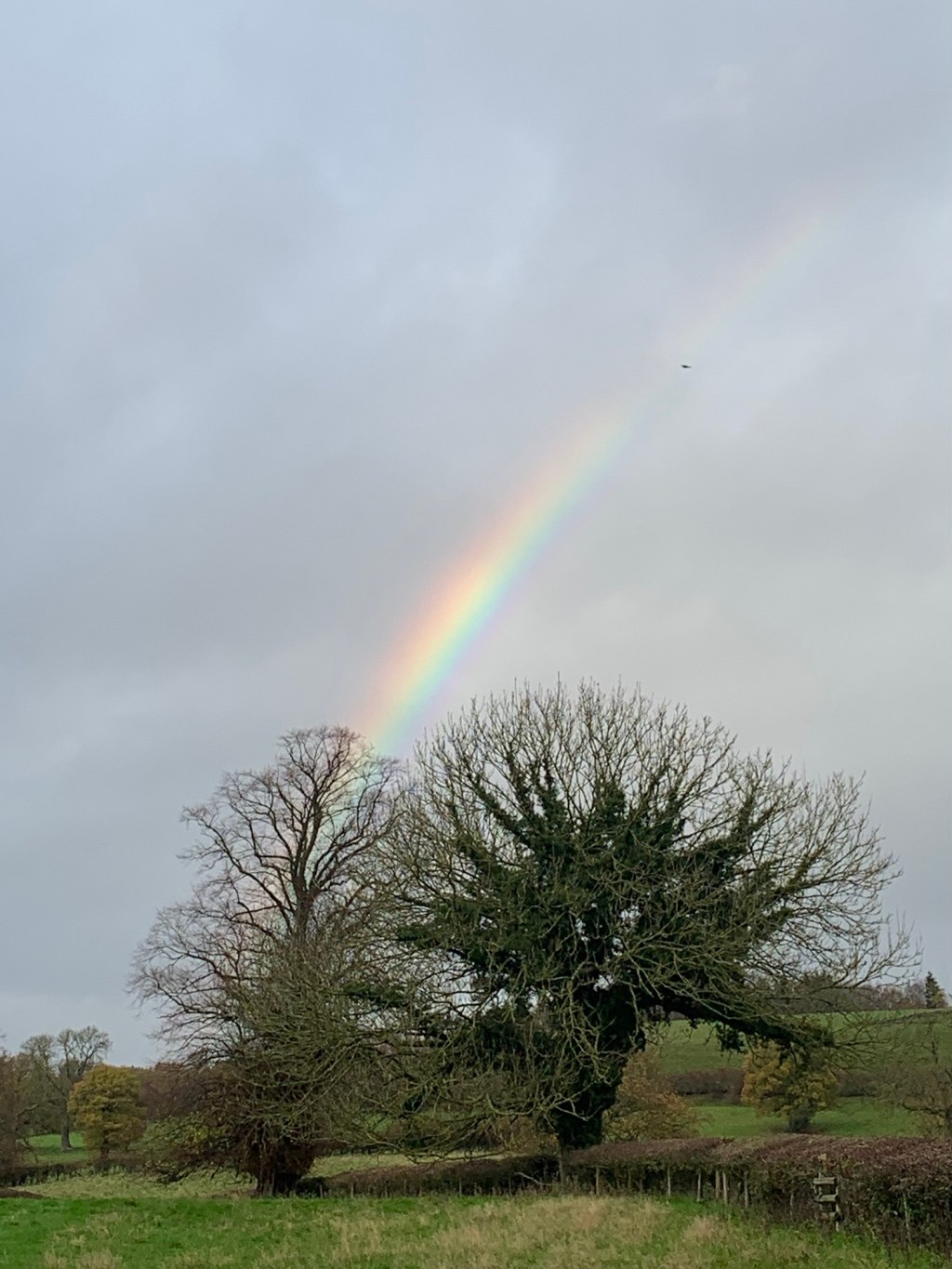
The journey from Sheffield via Chesterfield passes quickly enough and soon we alight near The Kelstedge pub surprised that it’s not raining (yet).
I’m intrigued by the place name Kelstedge as it somehow sounds ancient but unfortunately I’ve not been able to find a definitive origin yet.
Maybe it was Kel’s homestead or Kel’s pool or even Kel’s ladder (?) but in lieu of any expert information it looks like we’ll just have to be content with not knowing.
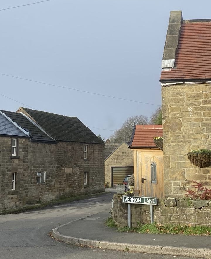
It’s quite busy on the A633 so our walk starts with a bit of a sprint to get over the road. Then off we set along Vernon Lane which turns out to have a number of interesting old houses along it before it becomes a footpath.
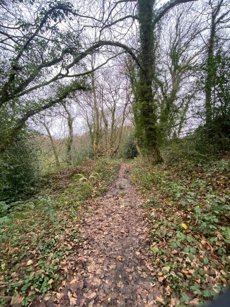
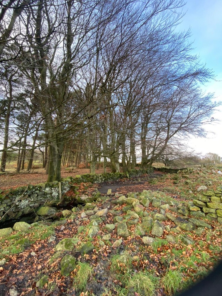
We’re soon descending to a footbridge over a stream just where it joins with another to become the River Amber ( of Ambergate and Amber Valley fame)
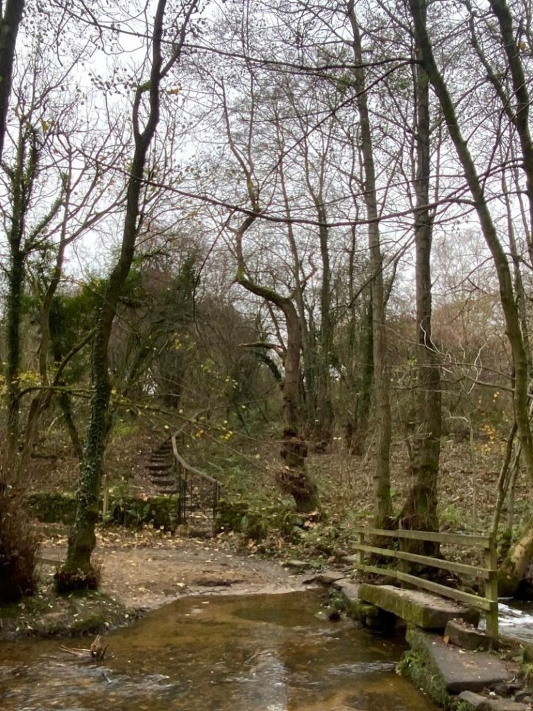
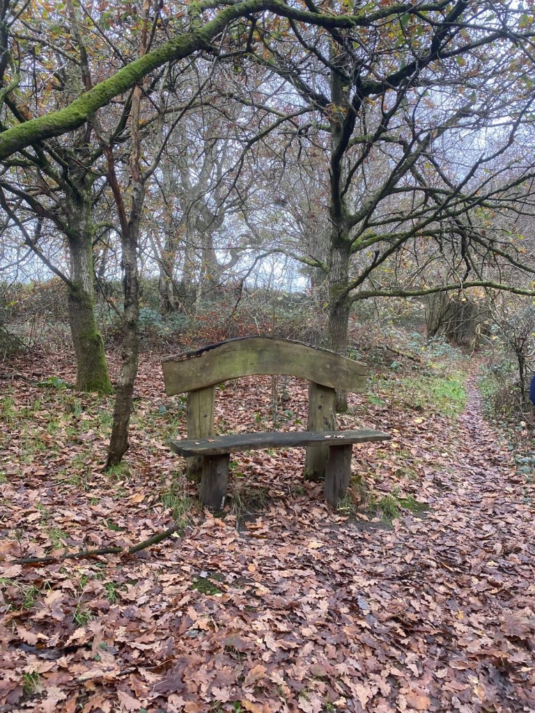
Whilst the main track appears to head straight on we take the right fork up some steps and past a seat straight out of Lord of the Rings, soon emerging onto a lane where we turn left.
There seems to be a glut of footpaths and a criss-cross of back lanes around here which makes me think this could be another interesting walking area outside of the Peak National Park and therefore somewhat less trodden.
I’ve also noticed over the many years I’ve been walking, that numerous paths and lanes can be an indication of an area having had an industrial or otherwise more significant past than it currently has.
Later I discovered this was indeed the case here….

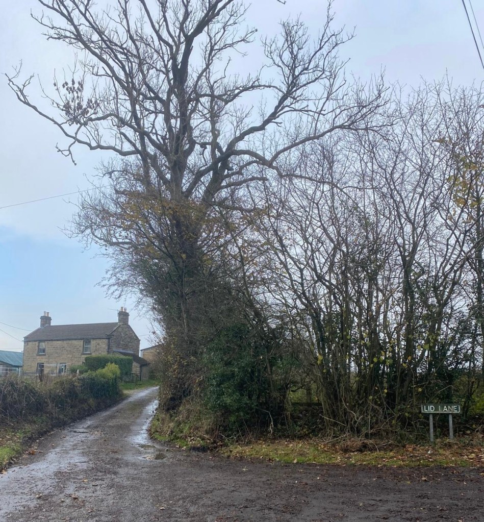
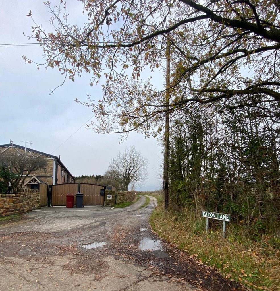
Soon after our left turn, a road forks off to the right

but we continue straight on along Eaton Lane in order to take a left at the next junction and then the path to the right of Prestedge Farm ( there’s that “stedge” suffix again…. maybe Priest’s homestead?… who knows?)
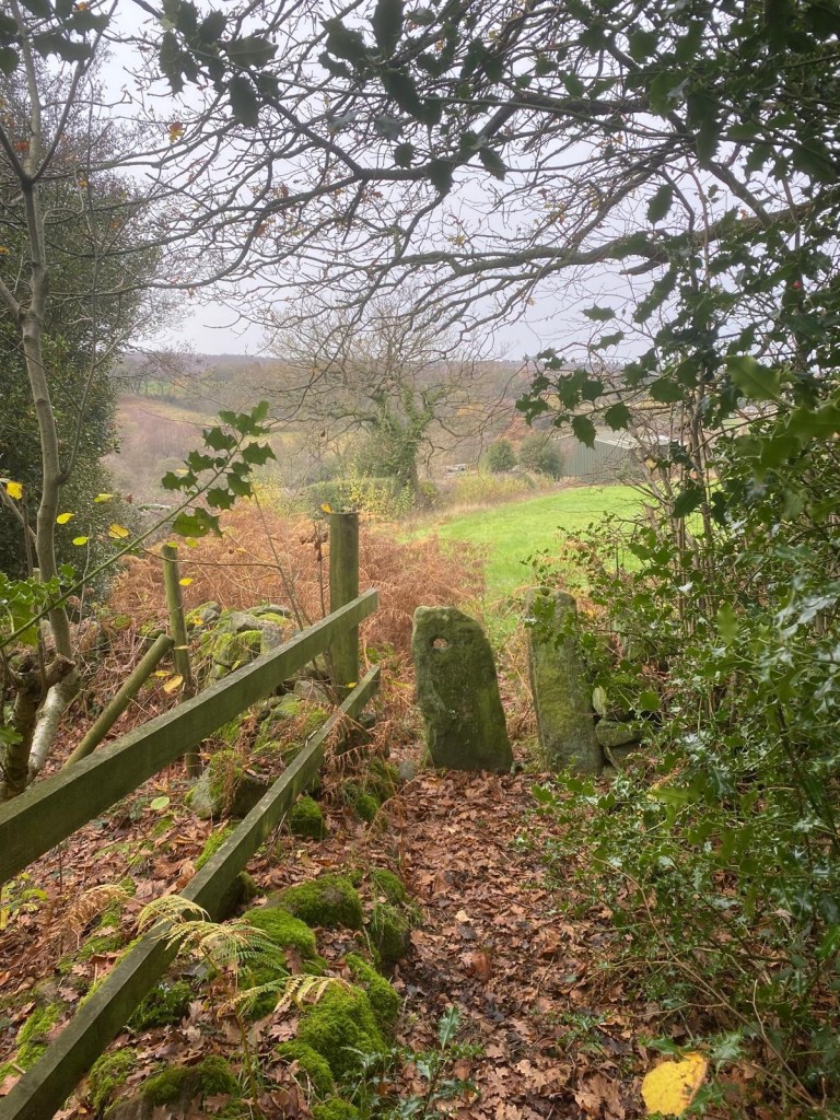
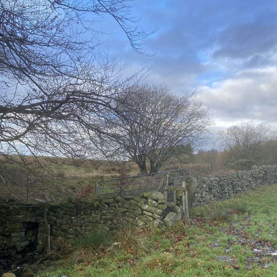
The track turns out to be a drive to Whitfield Farm but just at the right angled left turn there’s a pathway straight ahead along the side of a wood and through an old stone squeeze stile.
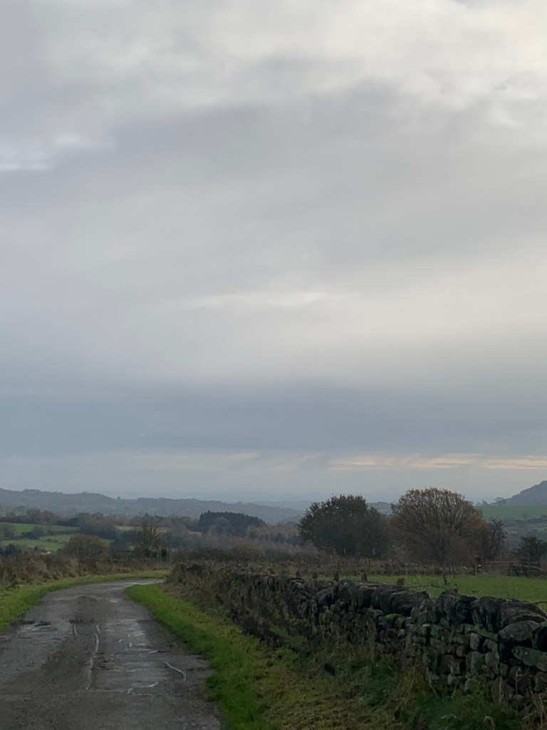
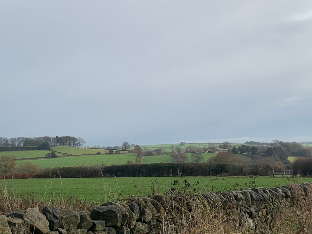
The next lane we come to is Hodge Lane. We turn left and continue to follow the tarmac ignoring various paths on either side and heading straight ahead. Gaining height we have some magnificent views behind and once again congratulate ourselves on the weather holding off.
Turning back to the direction of our walk, we notice the sky has suddenly gone rather dark and as we arrive at the T Junction with the B5057 we have a brief stop to don various waterproofs.
This seems to do the trick as we really only get a bit of a shower before things brighten up again.
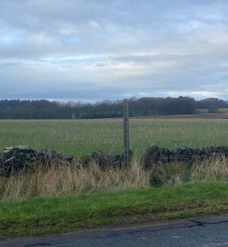
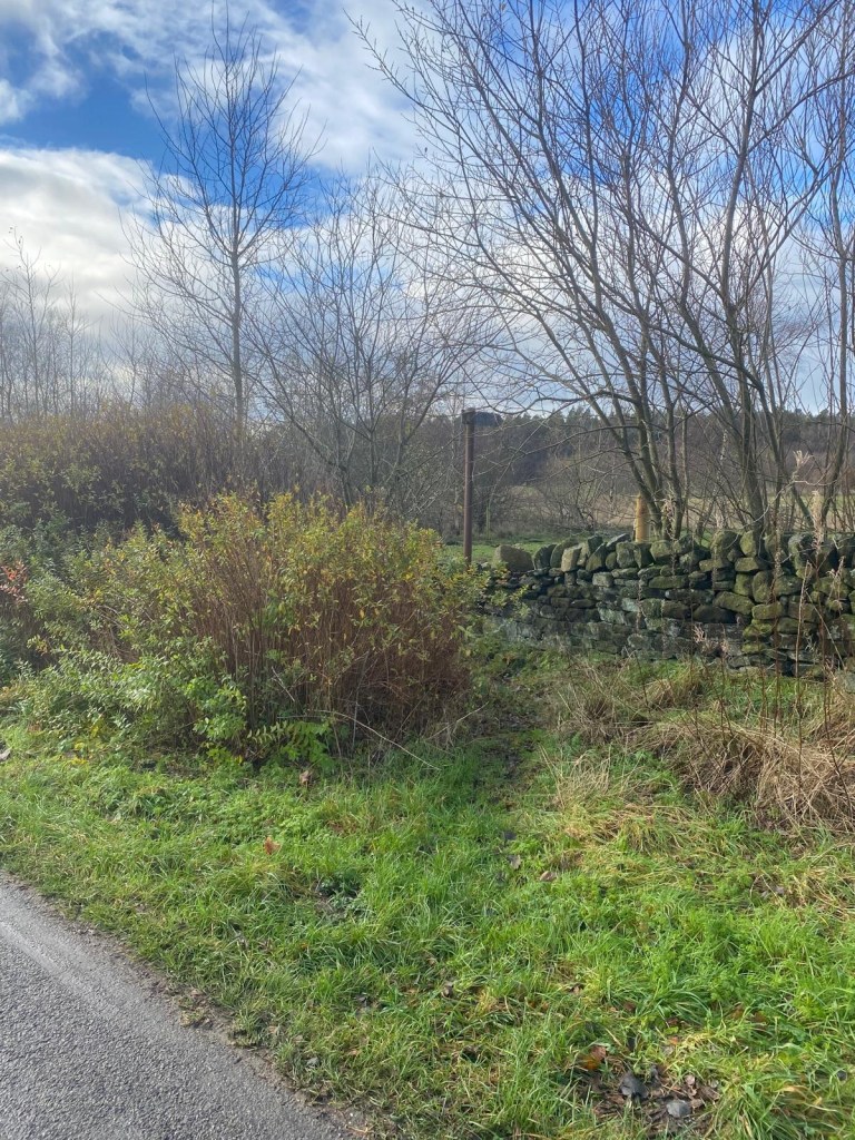
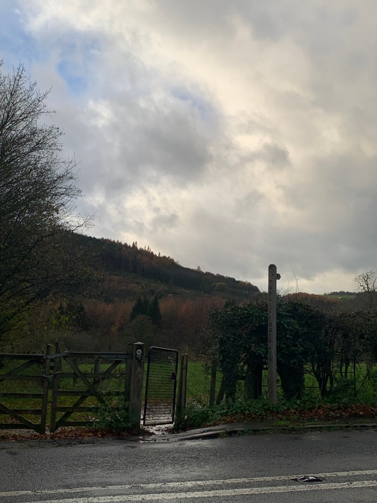
We’re not far now from Darwin Forest Country Park which has a number of nicely presented walk leaflets available online so I’ve been hoping this would have a positive knock-on effect on the definition of our next path. However as we clamber over the stile by the finger post it would seem I was hoping in vain.
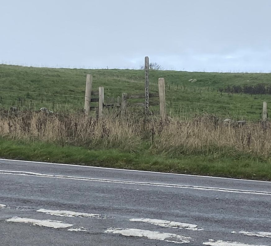
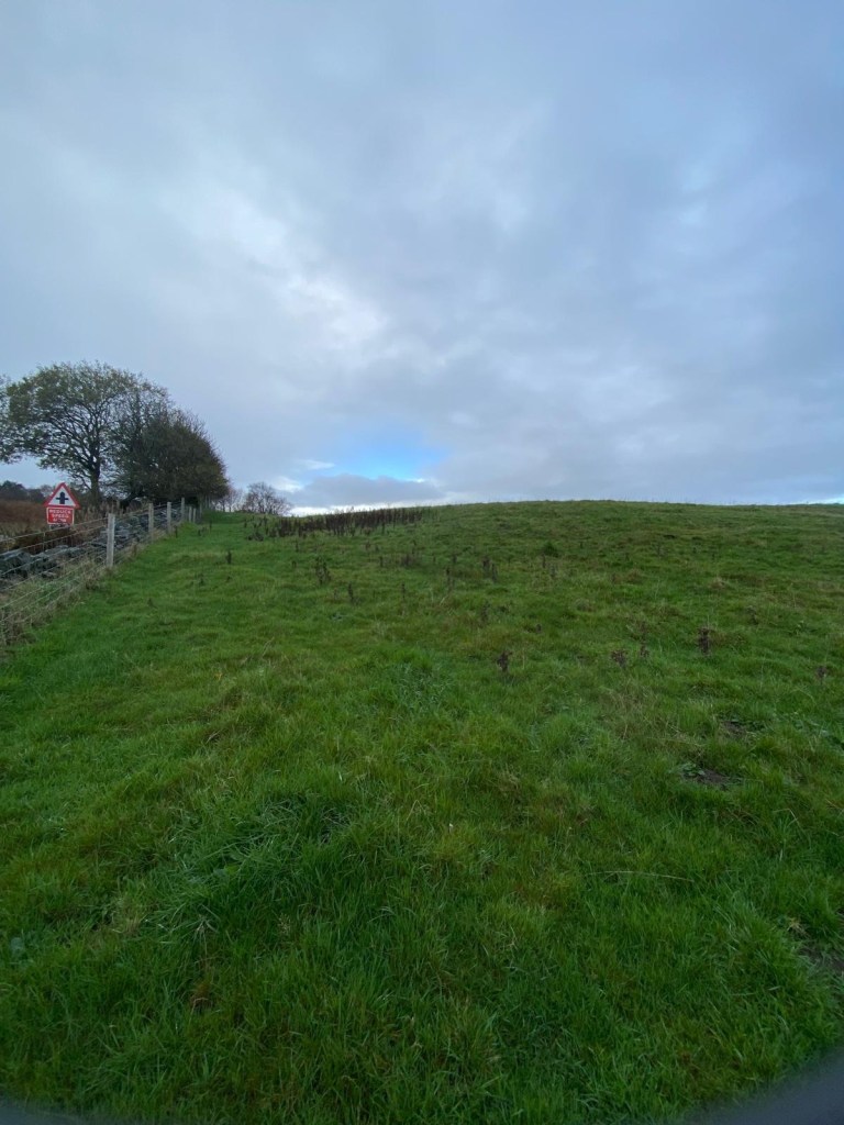
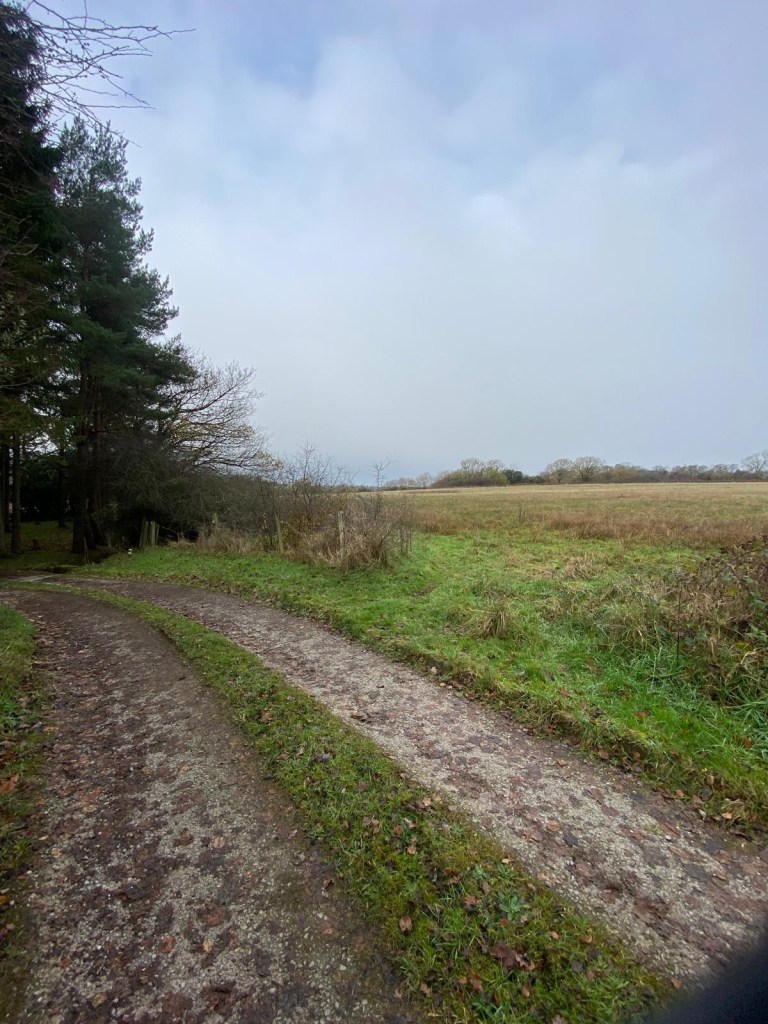
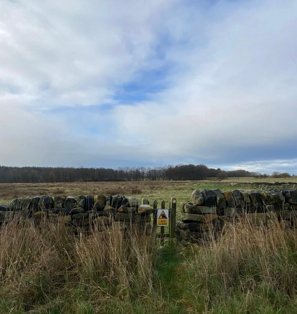
There’s absolutely no sign of a path but we walk across the field on the diagonal anyway and luckily we can soon see there’s an official way out in the far corner taking us over yet another lane and onto yet another signed and stiled but entirely undefined path and taking yet another diagonal across a field.
Then in the next field ( no sign of a bull) we keep the wall on our right and in the far corner we find a stream and some rough heaps of rocks and then a very wet and boggy patch over to the next gate.
Funnily enough once through here we are on better defined territory ( perhaps our route is coinciding with a Country Park walk leaflet?)
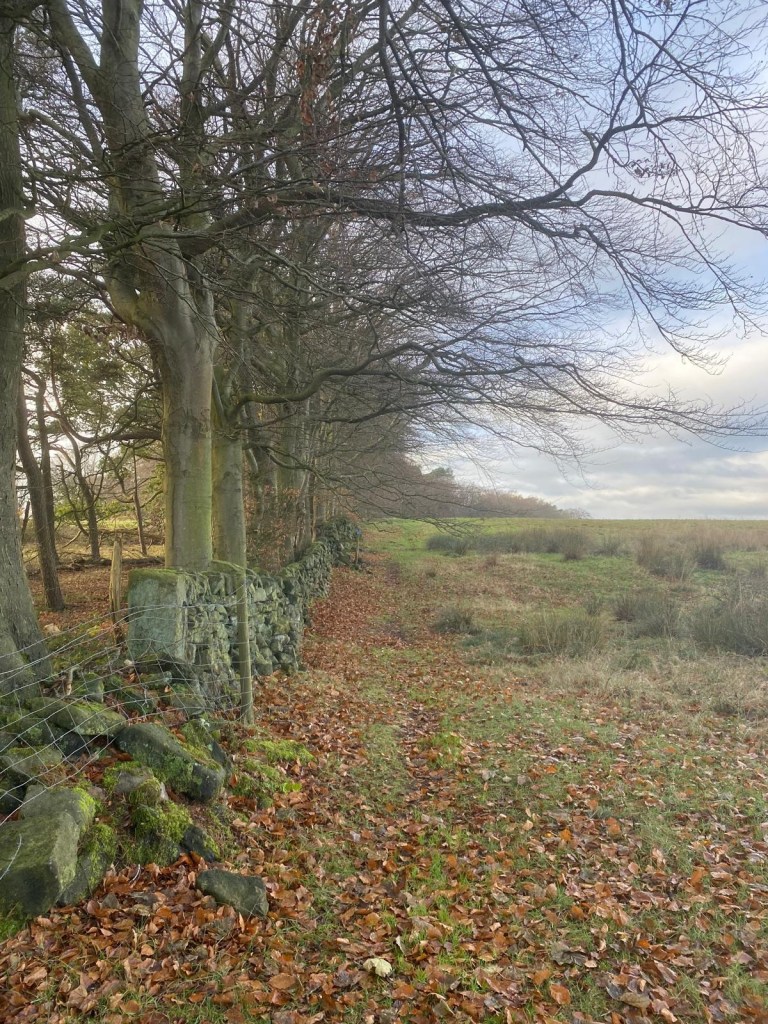
and we might actually be walking along part of the perimeter of the park as we follow the path along the wall side towards the buildings of Darley Forest Grange.
Our path crosses directly over Flash Lane
and through the small but intriguingly named Upper Dogkennel Plantation
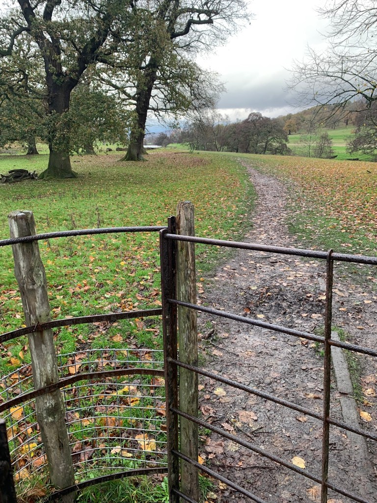
before another stile brings us quite suddenly out onto the wildness of Beeley Moor.
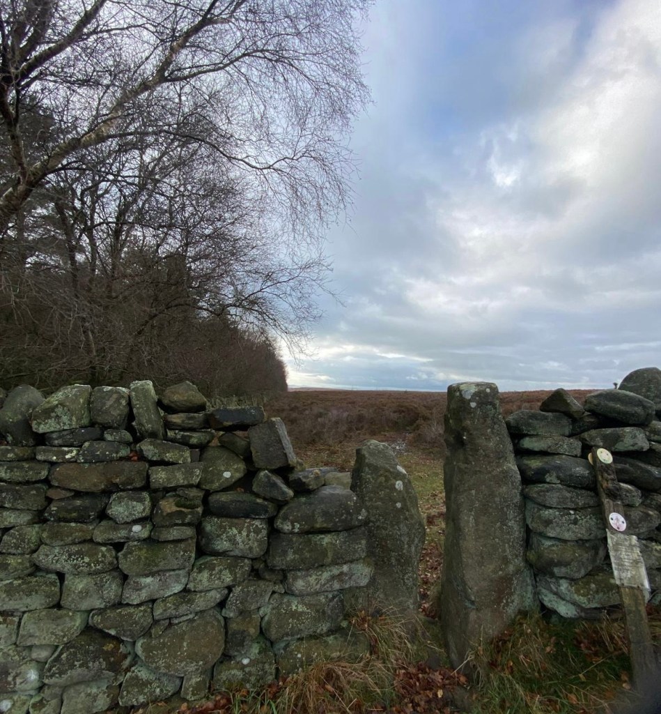
The path is a little wet underfoot but clear and easy enough to follow and very dramatic.
It’s exhilarating to be out on the open moorland and a complete contrast to the first part of the walk.
We’re soon at the junction with the rather busy Chesterfield/Rowsley Road but there’s a bit of a grass verge which we follow left crossing the top of the pleasant looking Bent Lane which descends towards Darley Dale.
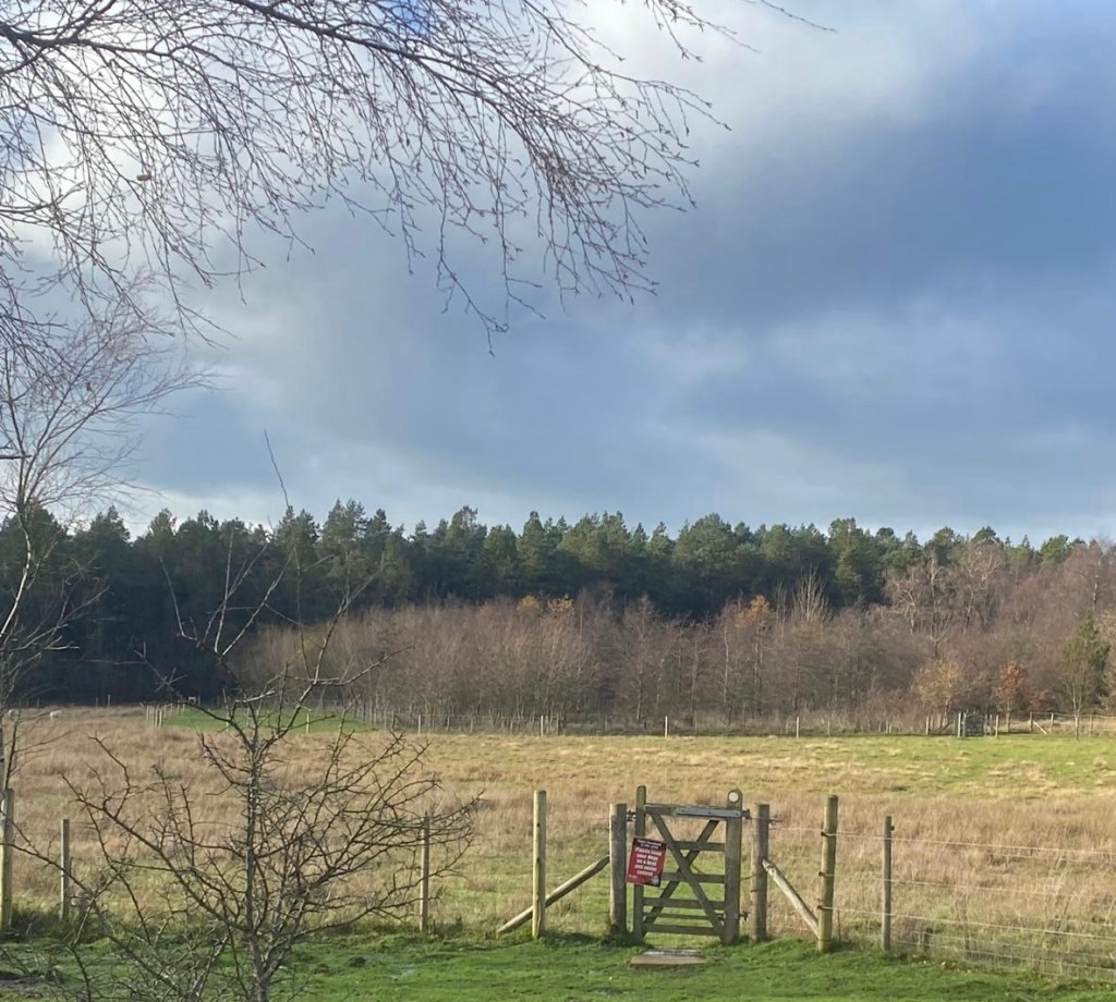
Just past this junction we spot a gate with an access sign over the other side of the main road which we hope will lead us further over Beeley Moor.
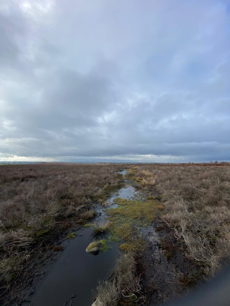
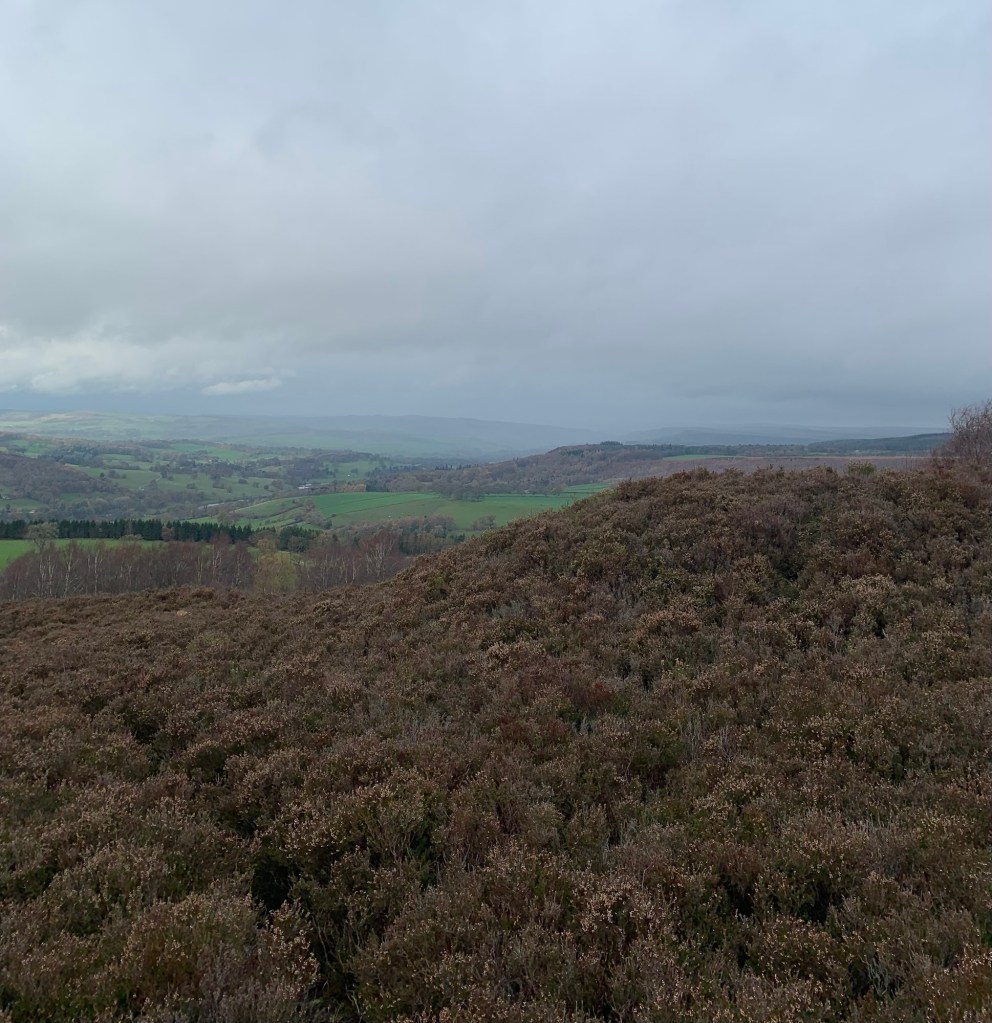
Initially this looks like my perfect kind of path; an easy going, green trackway through wild peat moorland, but after about 5 minutes of skirting around what looks like old quarry or mine workings, the track reduces to a narrow path. This begins to look suspiciously more and more like a sheep trod and finally fizzles out into thick bracken….or maybe we just lose it?
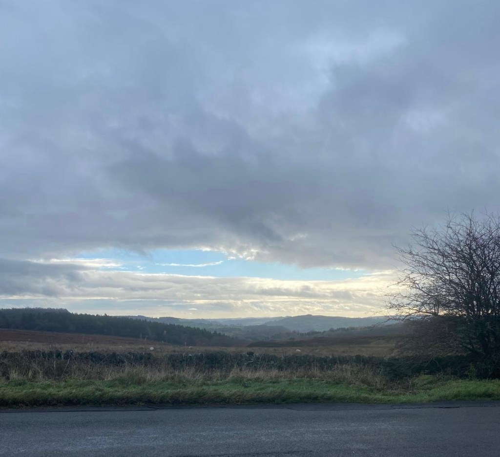
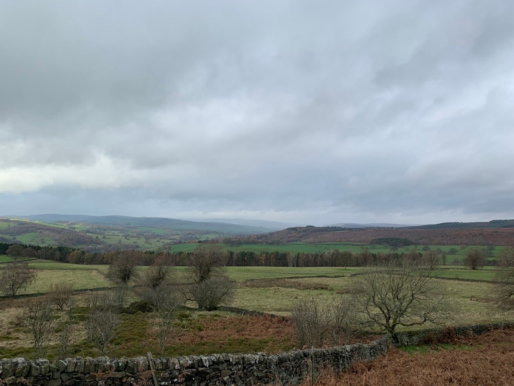
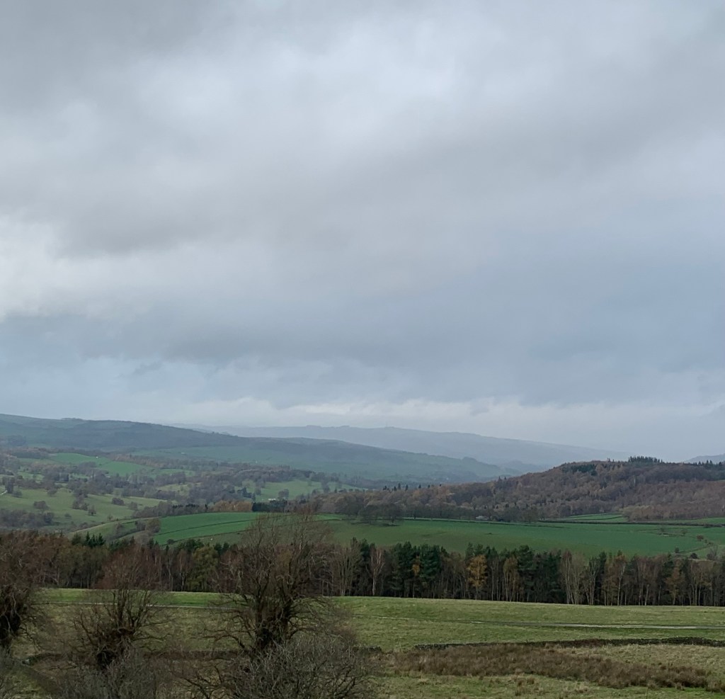
However the lack of path is definitely compensated for by the incredible views which are opening up around us and the sensational lighting and autumn colours.
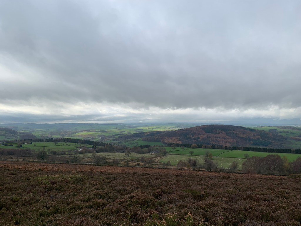
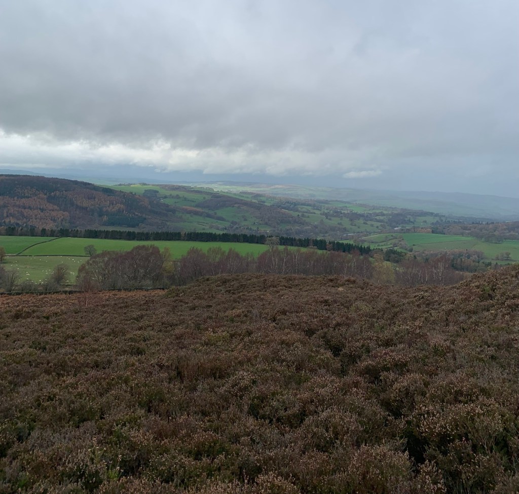
We can see over to Stanton Moor, we can see Over Haddon. The forested hillside between the Derwent and the Wye is a magnificent patchwork of colour bordered by the bright green of the high pastures behind Carlton Lees. It’s a fantastic view point and apart from the sheer beauty of it , this is also handy for working out where we are, or might be!
We seem to have walked more or less north west across the moor and have arrived at further signs of what looks like old quarrying. I idly suggest all these old quarries might have something to do with getting stone for building Chatsworth House, which checking things out later turns out to be a pretty good guess if Wikipedia is anything to go by:
“Three hundred years ago coal was mined on Beeley Moor for lead-smelting and for local homes. Chatsworth House was built from the high quality gritstone quarried on the moor. Beeley Moor was also renowned for grouse shooting.”
Also see the following link for information on the coal mining on the moor including fascinating diary entries which say so much about daily life in this area in a very different time.
We scramble down the bank near the stones, making our way through the bracken and head for the intake wall.
Alongside this we find another ( or continuation of the same?) path and follow it to the right.
I can see the intake wall on the map and the plan is to follow it until we hit the road which heads down into Beeley village.
It’s rough walking but not too strenuous although we get continuous views of a delightful looking footpath which we’re running parallel with a few hundred metres the other side of the wall. It’s tantalisingly inaccessible but if we’d followed a lower level valley side route avoiding the moor we’d probably have missed those stunning views. That’s what we tell ourselves anyway as we clamber along.
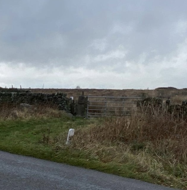
Eventually we can see the road we’re heading for and after a patch of difficult wet ground we get to a battered old gate which gives us our way out.
Perhaps if we’d kept to a higher point on the moor we might have found another or easier way….maybe we’ll have a look at doing that another day… but for now we’re happy with having crossed the moor and even more happy to be back on firmer ground with a cafe calling us downhill into Beeley.
Turning left along the road, we start to descend when, a few moments later, we think our plans have been thwarted. Ahead it looks as though the road is completely blocked off.
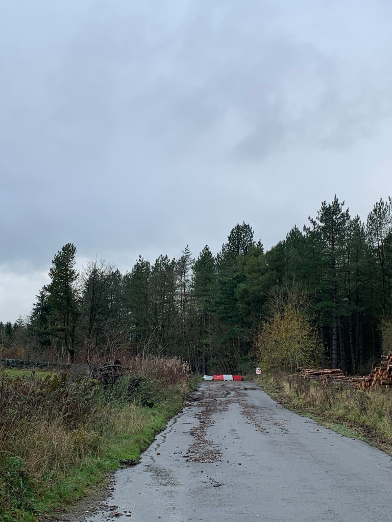
But although there’s absolutely no way down for motor traffic due to a landslip partway down the road ( maybe not such firm ground afterall?) for pedestrians it’s easily passable and we even meet a cyclist coming up the other way; obviously a hill lover!
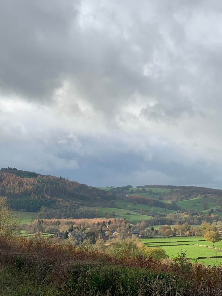
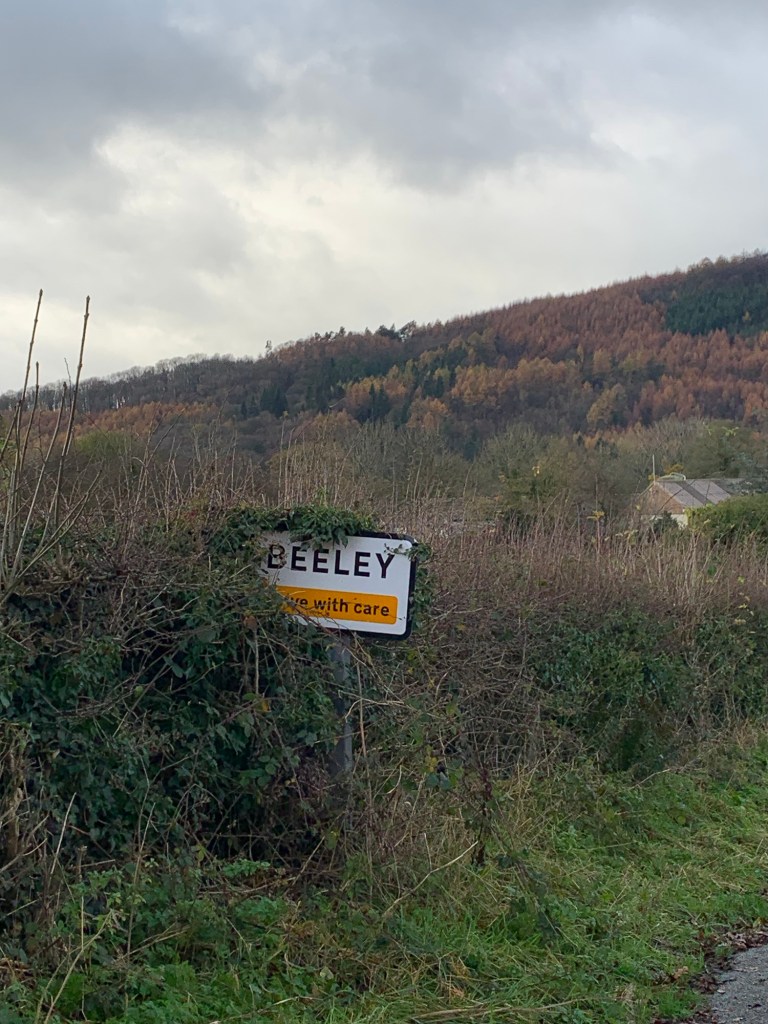
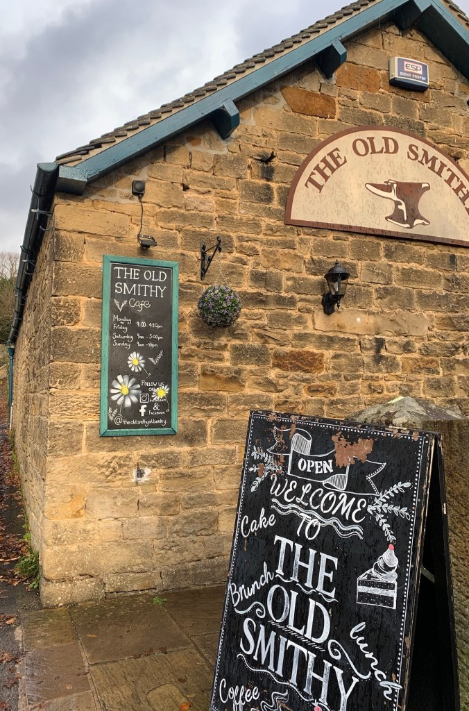
The road leads us down into the Chatsworth estate village of Beeley with its pub and Old Smithy cafe which is where we’re now heading with a vengeance as the heavens have begun to open.
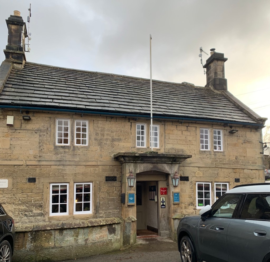
The cafe is quite large and also very popular as all things Chatsworth tend to be. We’re pleased to get a table and a proper pot of tea.
We don’t want to stop for too long as we’re always aware of bus times but as we step back outside it’s like stepping under an ice-cold power shower!
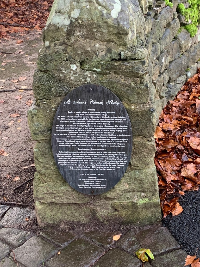
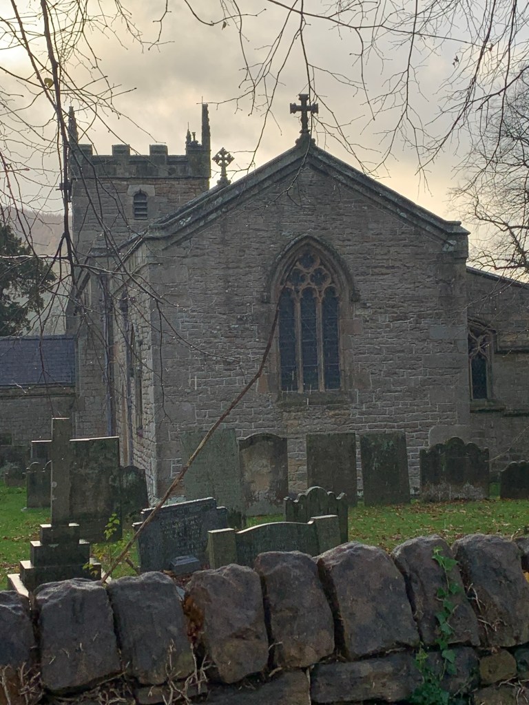
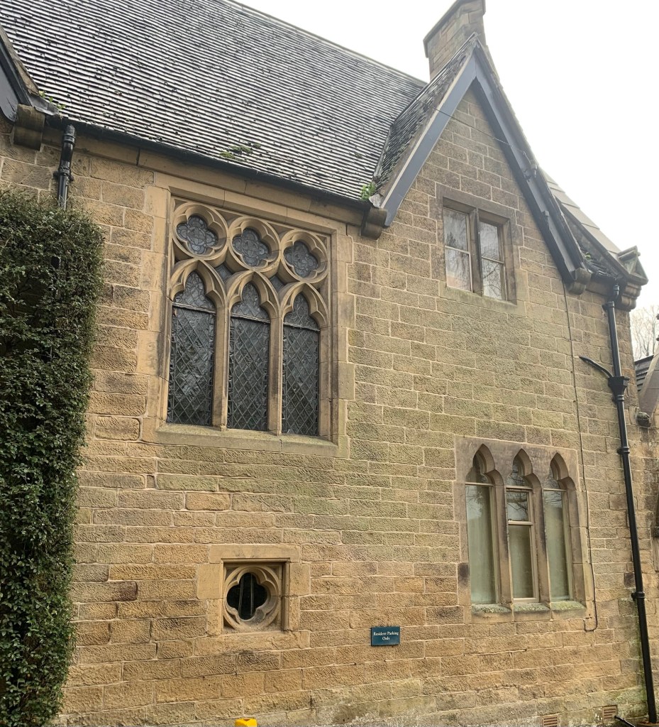
Undeterred we head up the road past the old chapel and then past the delightful looking church
and the very interesting building of the old vicarage

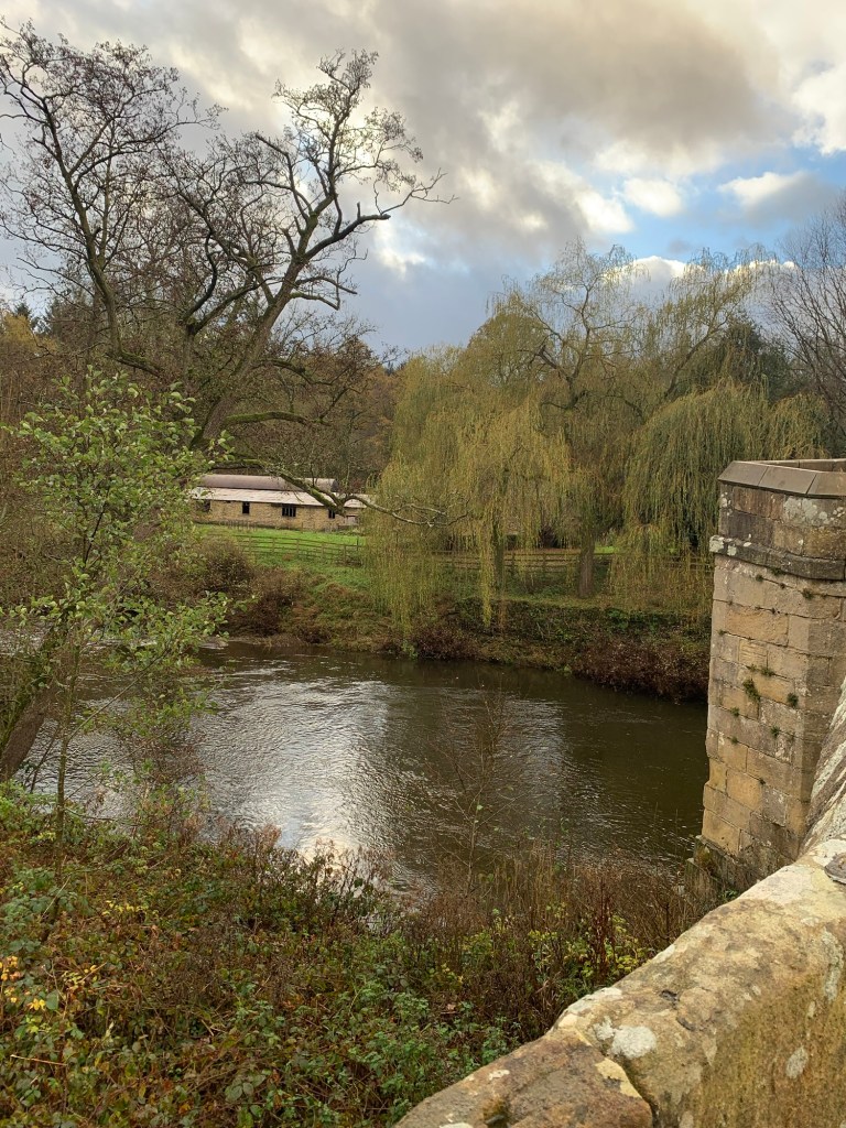
before we cross over the main road and get onto the path which takes us to the bridge at Carlton Lees.
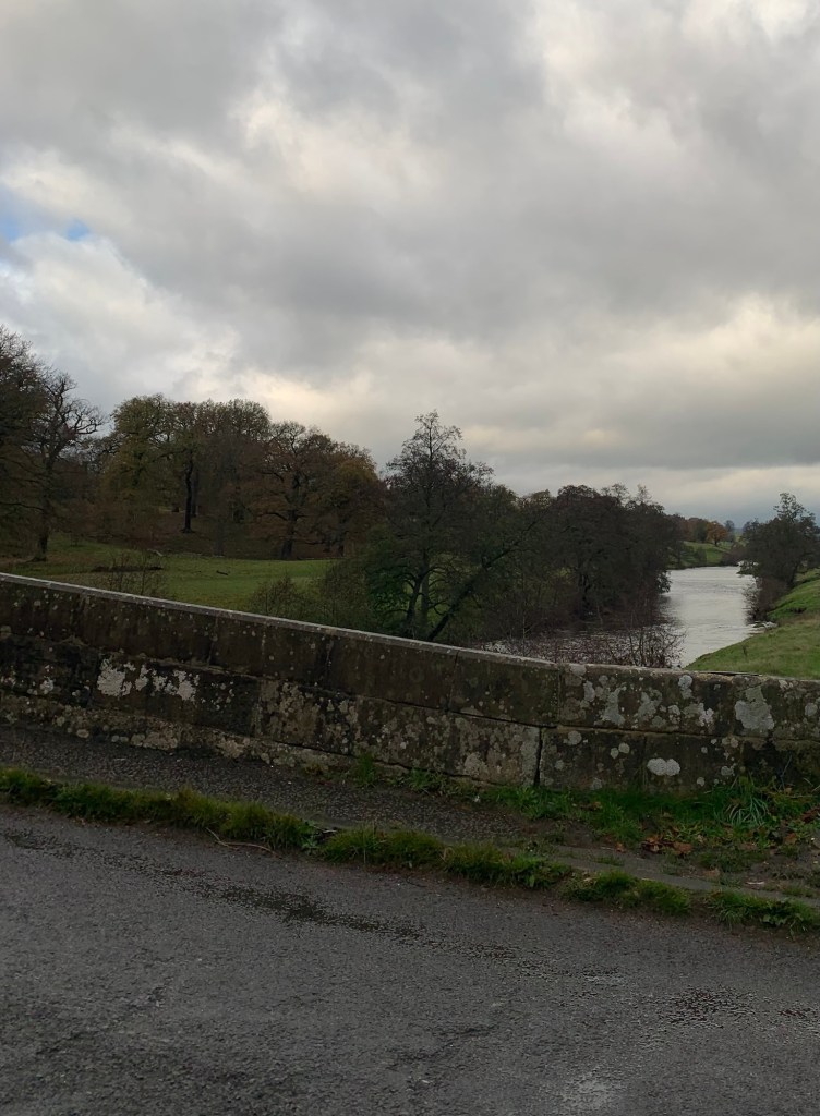
There’s plenty of water swirling down the Derwent as we squelch our way along the river path through the park.
The parkland of Chatsworth is like a third contrast of our walk after the woodland paths and lanes in Part 1 and the wild moors of Part 2.
However we’re too wet to be appreciating the aesthetics of the walk at the moment especially when we see a bus in the distance meandering its way towards the House from Edensor and it’s obvious we’re not going to make it.
We console ourselves with the fact that it could just as easily be the 218 from Sheffield as the one from Bakewell and when we get to Queen Mary’s Bower we decide to just keep on through the park to Baslow in the hope of intercepting the school bus, rather than messing around trying to catch a bus from the stop up at the House.
It’s raining like Noah’s flood and when we make it to Baslow we take it in turns to stand in the shelter or get even wetter at the bus stop. I’ve seen the bus go straight past before now if no one’s standing at the stop so we think it’s an inconvenience worth enduring.
Politely late, the 218 finally comes along, full of noisy Lady Manners school kids who’ve obviously not had enough outdoor playtime today. We’re now not just soaking wet but also in danger of going deaf from the racket! Only joking, we love the school bus because it’s always late but never cancelled. It’s generally great entertainment to see the kids wearing off their pent up energy after a day at school, doing all kinds of daft things and then saying thank you so nicely to the driver when they get off.
One way or another it feels like we’ve had quite an adventure. Would I recommend this walk? Yes, I would…. just be prepared for making it up yourself over the moor.
Alternatively there are numerous paths and lanes which could be investigated for other options dropping down into the Derwent Valley sooner than Beeley.
Transport
X17 from Sheffield to Kelstedge
218 from Baslow to Sheffield
Pubs/Cafes
The Kelstedge Inn
The Foresters bar and restaurant Darwin Forest Country Park
The Beeley Inn
The Old Smithy cafe Beeley
How far?
Around 18k
Route Synopsis
Kelstedge- Hodge Lane- Darwin Forest Grange- Beeley Moor-Beeley-Chatsworth Park
Dogs?
Today we encountered no livestock. (In fact the only human being we encountered all day was the lone cyclist.)
There were a few stiles
Map
OS White Peak
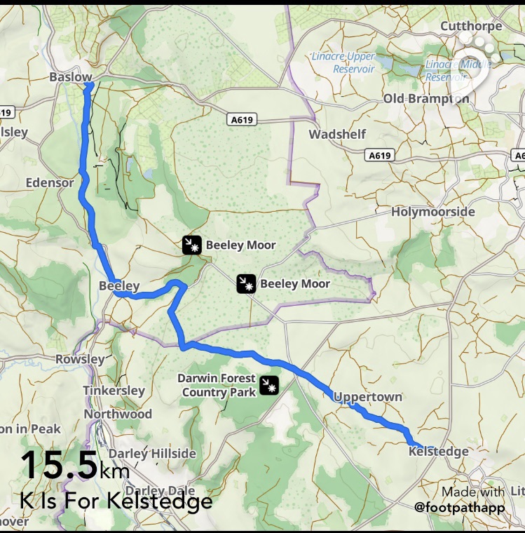
https://footpathapp.com/routes/9DC3AF0E-4AB4-4ECC-9D4C-D434AC154BFC?units=metric

Leave a comment