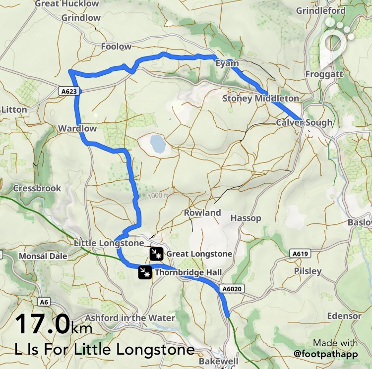
This week, whilst we felt relieved to have successfully survived the scarcities of I, J and K, we were now faced with a positive glut of Ls to choose from…. and so, we got greedy and chose lots of them!
Little Longstone had to be a priority as it’s already a two-for-the-price-of-one opportunity and not surprisingly, that led to the inclusion of nearby Longstone Moor. Originally, we’d optimistically included the village of Litton before our cafe stop but in reality tea and cake ( and thoughts of bus times home) won out, although we still finished the day in style with another buy-one-get-one-free and this time it was Lover’s Leap.
Taking the 218 towards Bakewell we alighted at Pineapple Farm which is the stop just before the housing of Bakewell begins. It’s rather a perilous one for the driver so if you ( or the driver) miss it, don’t panic, just get off at the next stop and back track to where the road crosses over the Monsal Trail.
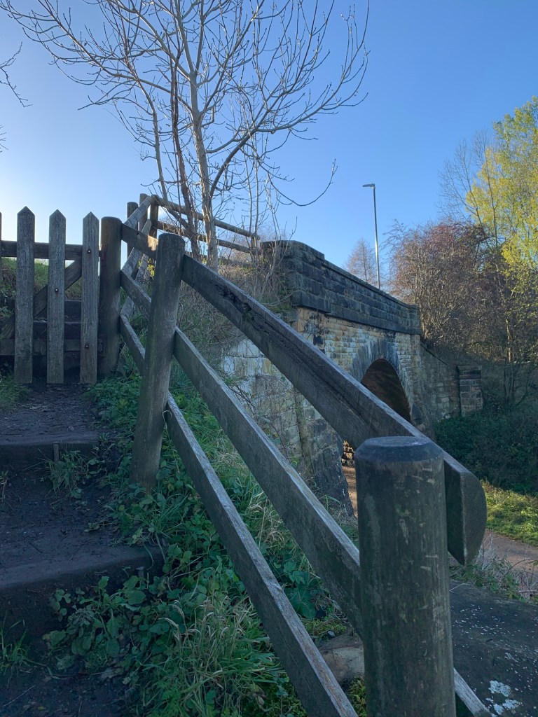
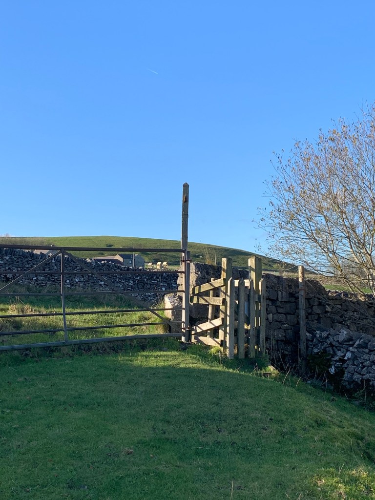
Crossing the road is another peril but once over there’s a stile and steps down by the side of the bridge and onto the trail.
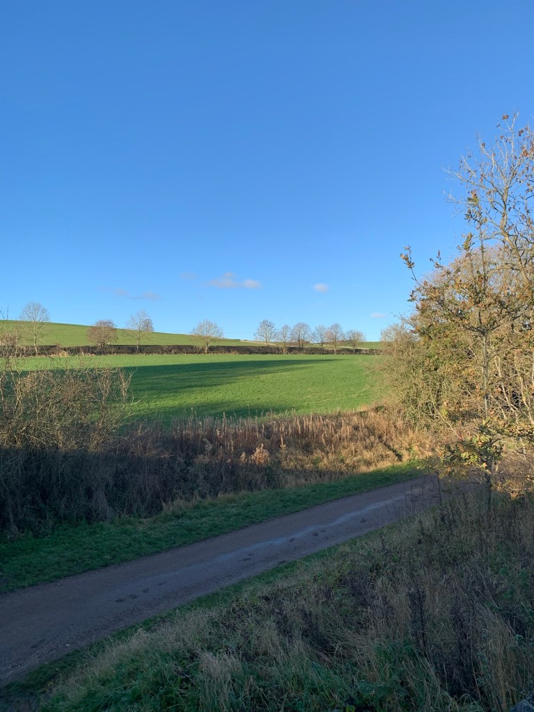
We enjoy getting a reasonable pace going along here as it’s easy walking and will help to warm us up, on this spectacularly bright and clear but cold November day.
We’re soon whizzing past Hassop Station Cafe and then Quackers at Thornbridge without any slackening off although both are cafes we’re very fond of and would heartily recommend.
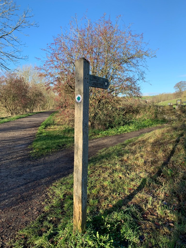
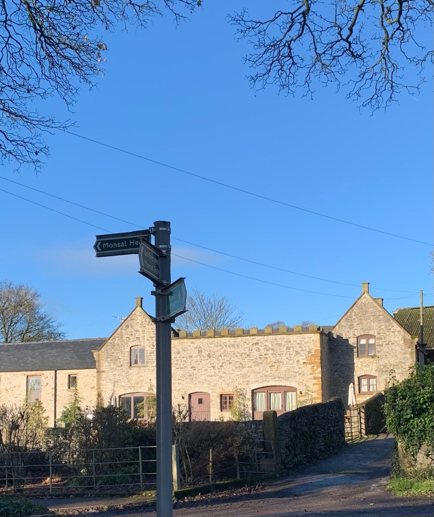
Shortly after the old Thornbridge station there’s a crossroads of paths across the trail with the one on the left heading towards Ashford and ours on the right heading for Little Longstone.
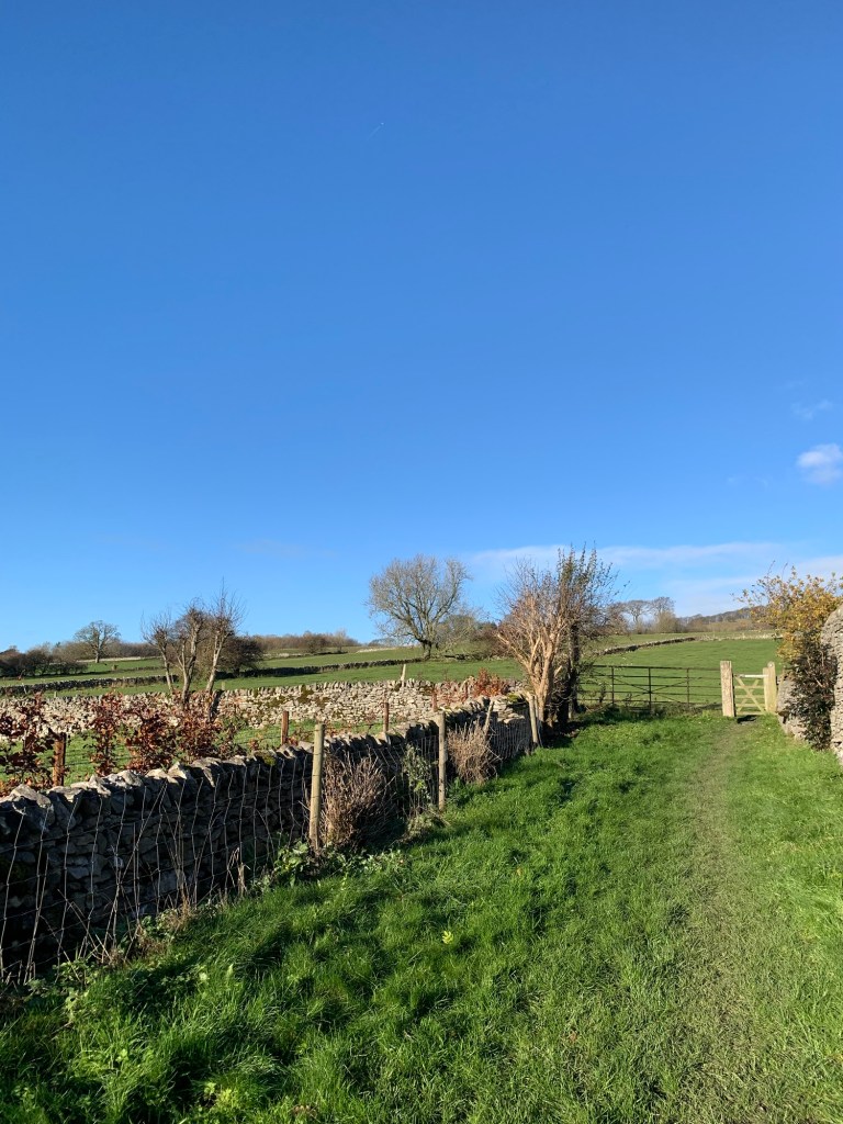
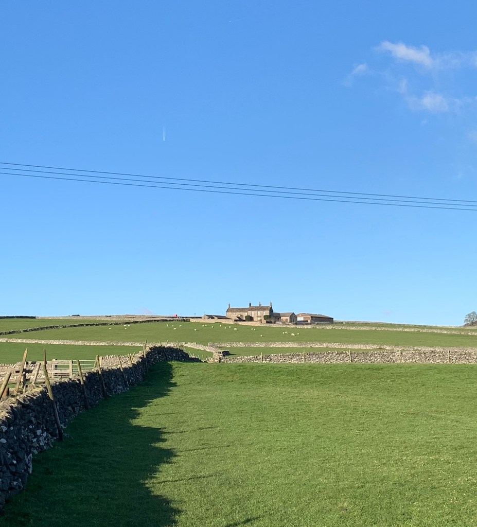
We follow a field path without too much mud today, to emerge at the road through the village just down the hill from The Packhorse pub. We’re almost opposite the old Manor House stables which have been stylishly refurbished as modern day holiday lets, (with castellations!)
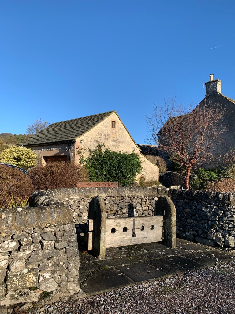
We turn right along the road and pass Stocks House next to the village stocks, both stocks and house dating from around the 17th century, followed by the very impressive ( also 17th century) Manor House itself.
For a small village, it feels like Little Longstone has a lot of splendid buildings and we certainly enjoy their beauty and individuality as we pass by them today.
Later when I decide to find out more about the history of the place I incidentally discover what might also be a link to its name…
The “Longsdon” family has been associated with the village since the 13th century, with their wealth increasing in the 17th century through involvement in the wool and cotton trades.
Aha!
And, as is so often the case in Derbyshire, the village’s prosperity was also linked to the lead-mining industry that flourished here and of which we’ll soon see plenty of evidence once we’re heading over the moor.
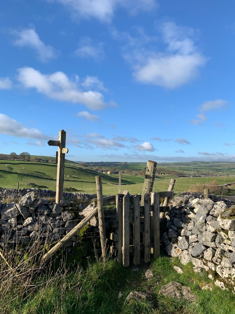
We turn off Butts Road at the first finger post on our left
and head along a field path
which unexpectedly suddenly reveals splendid views of Beeley Moor, part of last week’s walk; K for Kelstedge.
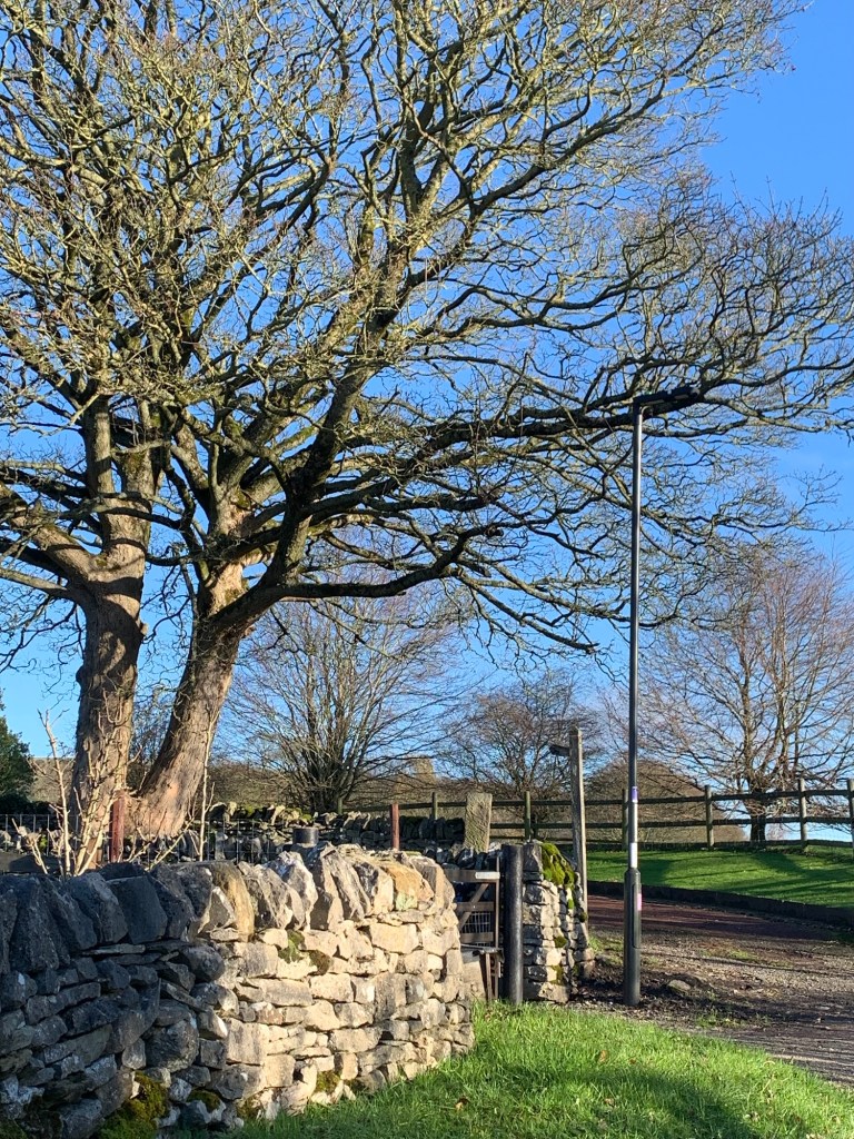
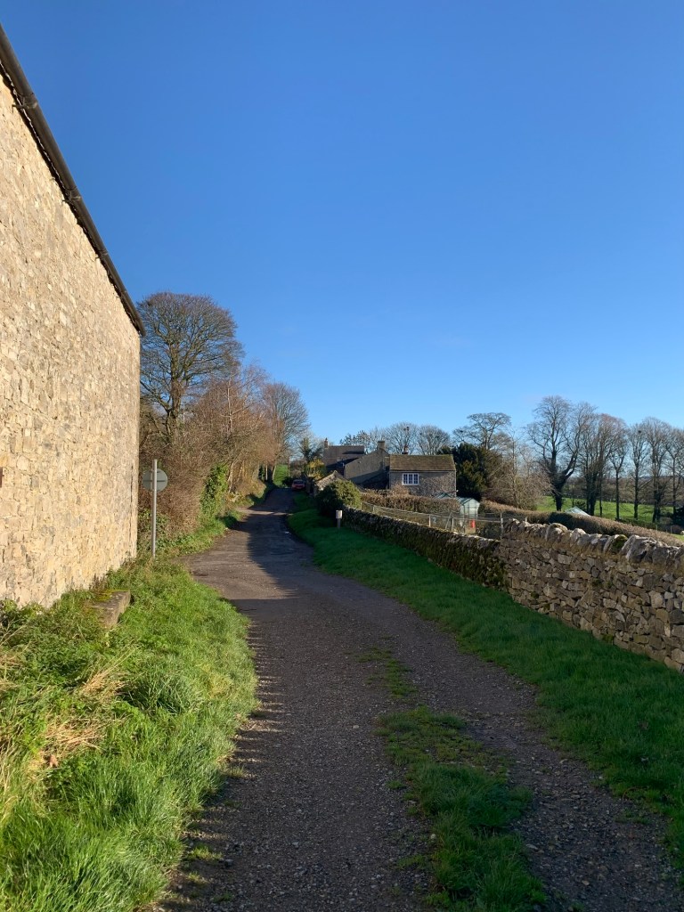
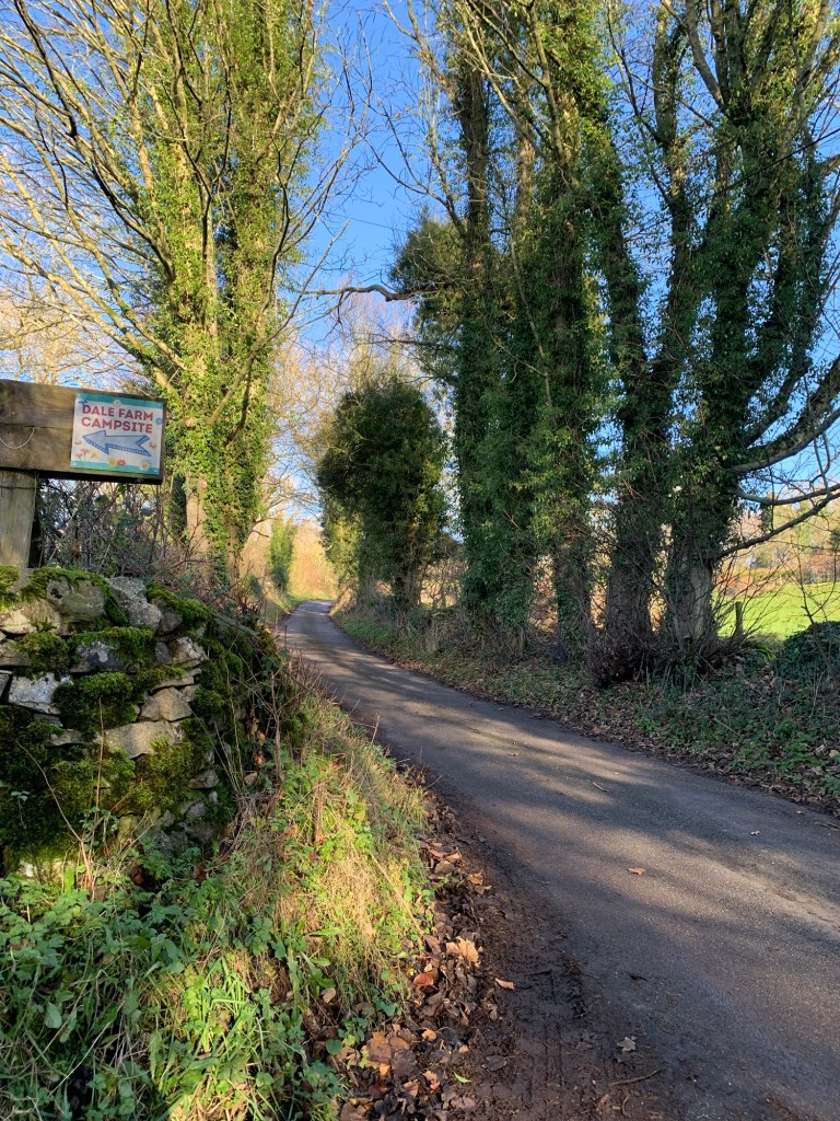
After admiring some highland cattle from the safe side of an electric fence we head past Dale Farm and it’s out-buildings on a farm track which takes us to Moor Road, the lane that leads up to Longstone Edge from Great Longstone.
I must just point out that this route omits the inclusion of Great Longstone despite its being another very interesting spot because we agreed it would not count as an L. That’s a penalty for our being so purist! (But maybe the silver lining is we’ve got a good G lined up there for next time?)
Moor Road is used for an annual cycling hill climb event where various categories of cyclists pit themselves against the 2.2km uphill climb with an average gradient of over 7%. It’s great to see ( and probably great to participate if cycling hill-climbs is your thing) with a great atmosphere and lots of positive support.
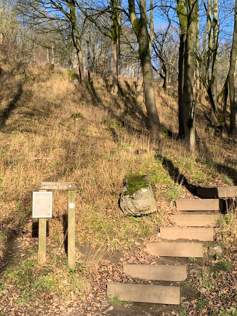
We head uphill ( thankfully not on our bikes!) and at the sharp right hand corner we head straight ahead onto a footpath through some trees and then up steps as we climb ever more steeply up onto Longstone Moor.
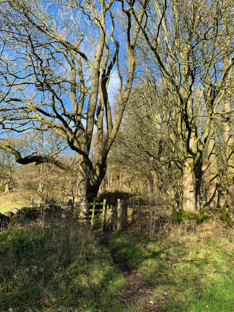
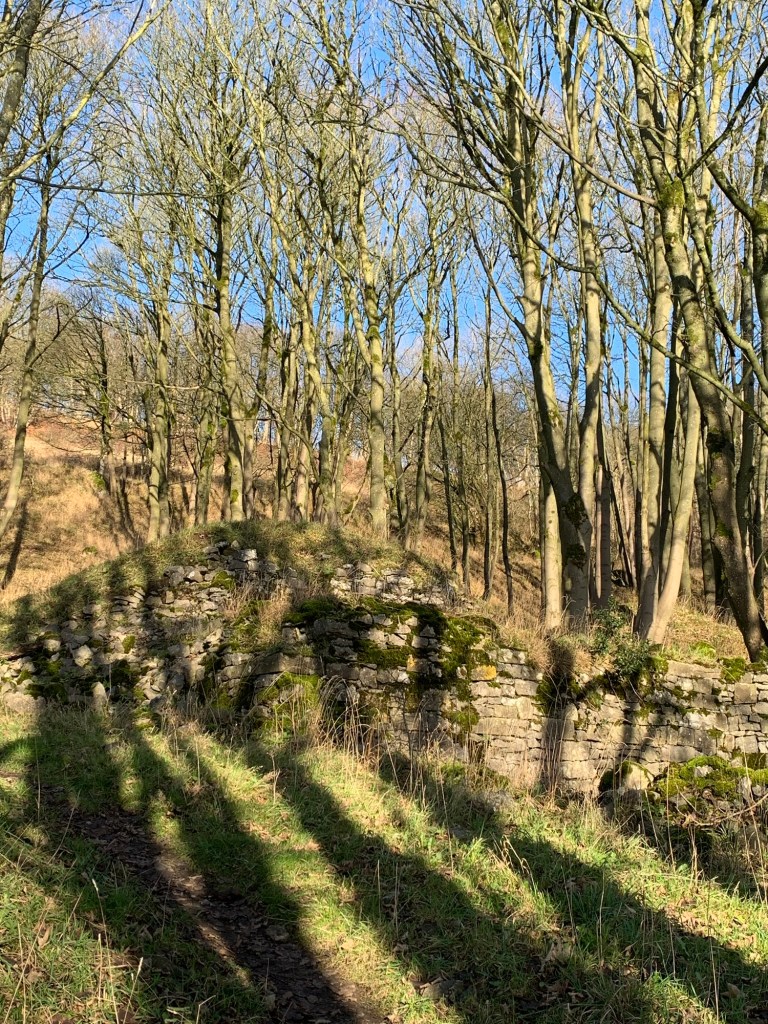
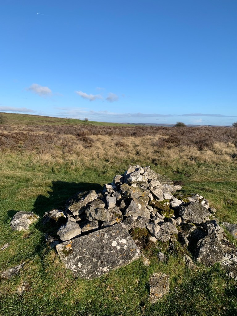
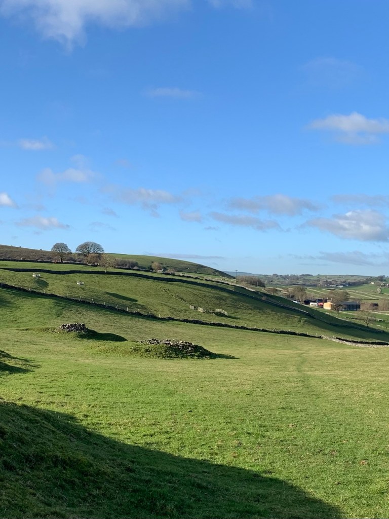
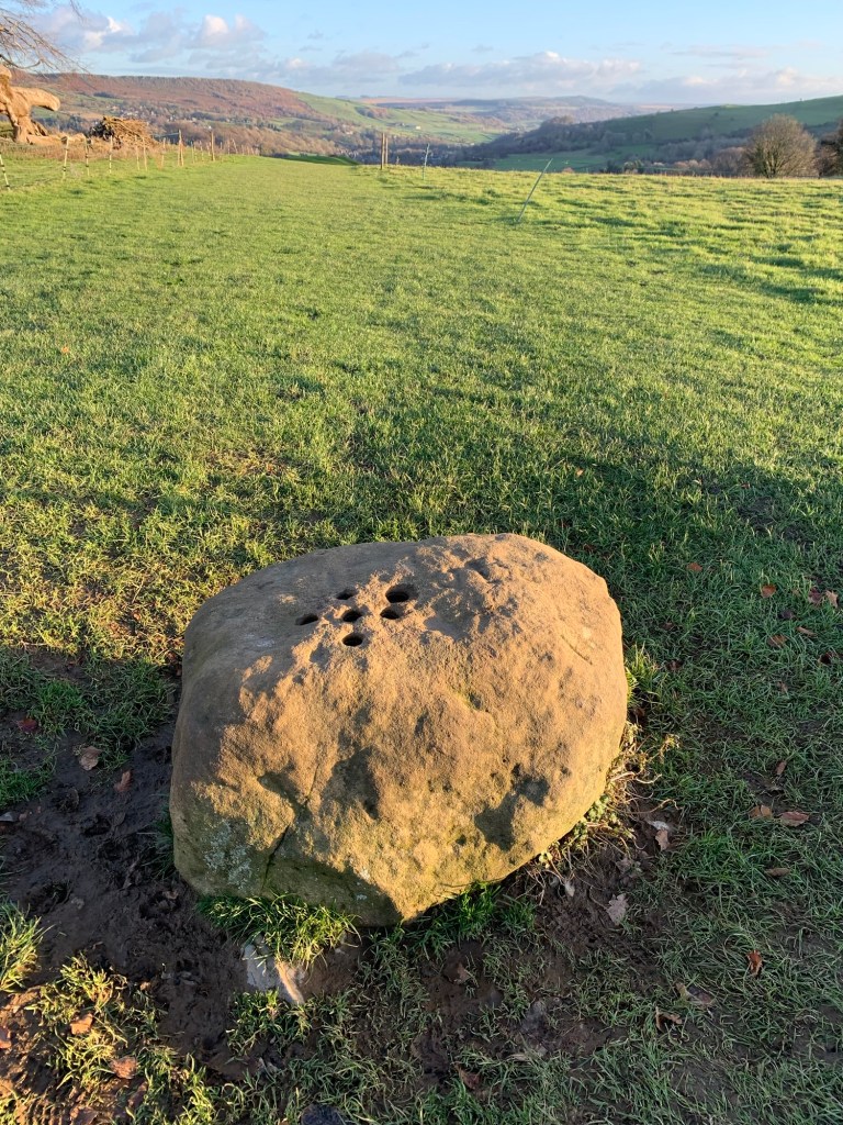
Almost immediately we pass an overgrown ruin which I assume is a relic of the lead mining days and this is followed by numerous other lumps and bumps for the next couple of hours of our walk.
As we’ve often remarked it’s unreal especially on a beautifully clear day like today, to think of our modern day rural ramblings taking place on the same ground that was once a hotbed of industrialisation.
The views back through the trees are spectacular. In particular we spot the flat top of Fin Cop the Iron Age hill settlement, looking quite different from this angle to when we looked over to it on our C is for Chelmorton walk many weeks ago, back near the beginning of this alphabet.
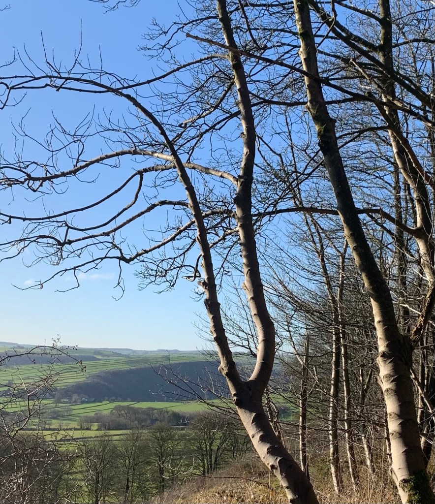
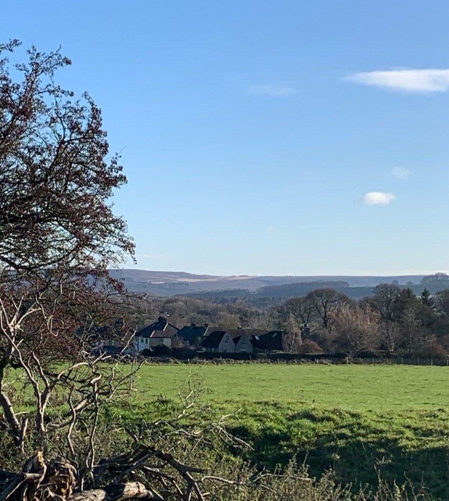
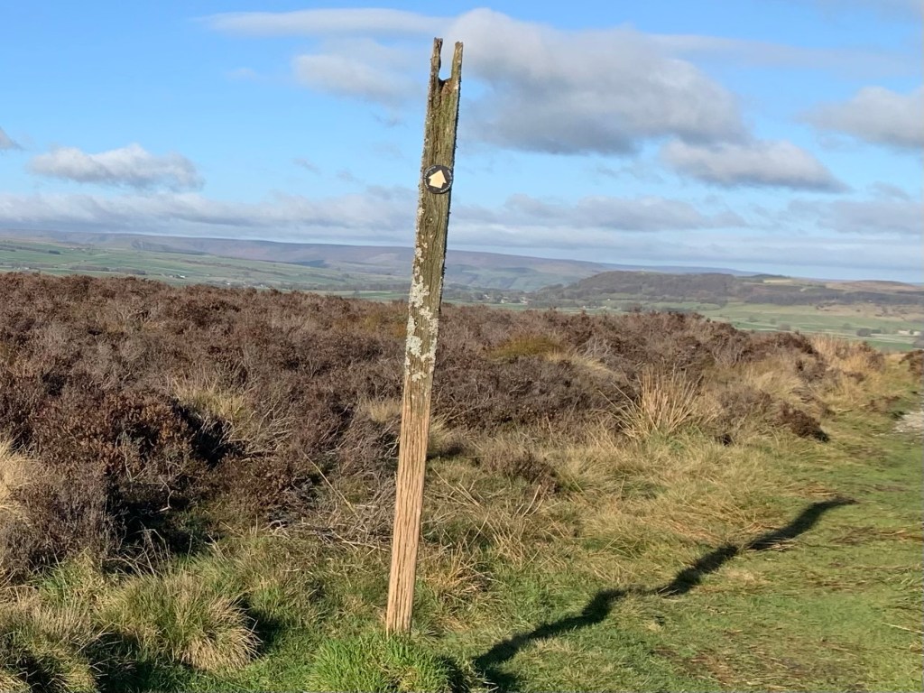
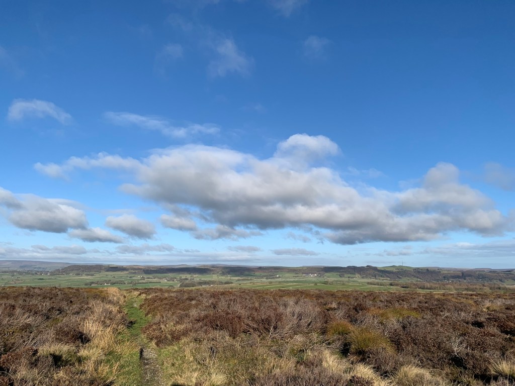
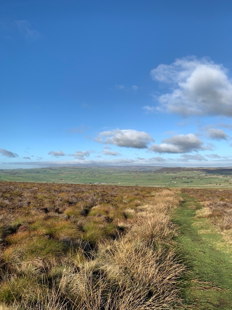
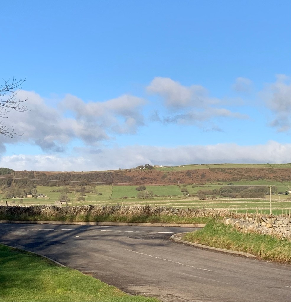
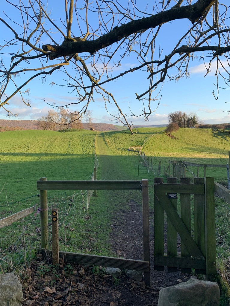
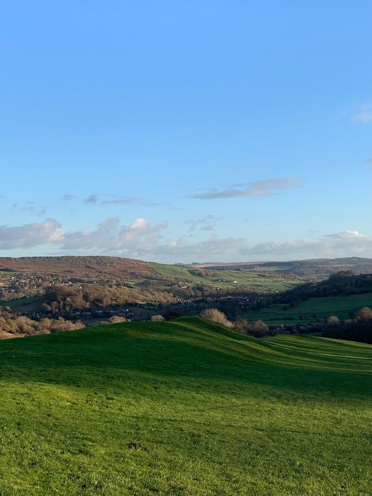
Once we’re through the gate and onto the moor the hill is almost done and then, next thing, we are rewarded with amazing views stretching ahead of us towards Mam Tor and Kinder. We feel as though we can see forever on this perfect day for enjoying the Peak in all its glory.
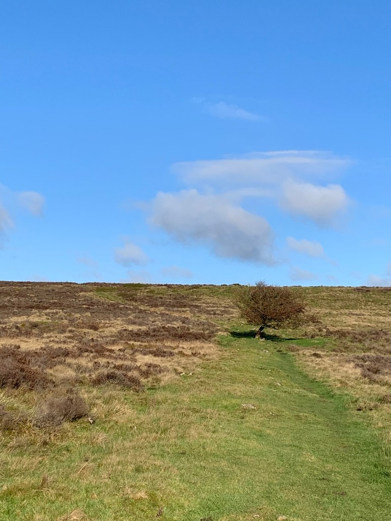
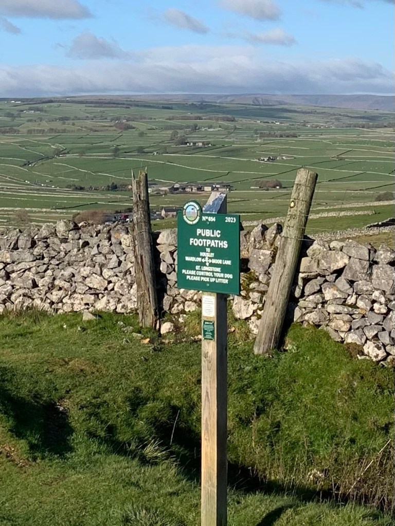
The moorland path is a delight too; no disappearing acts like last week’s Beeley experience, and useful signs where you need them.
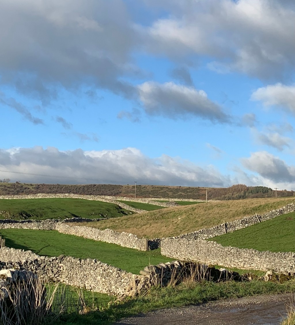
Longstone Moor is not just any old L, it’s a beauty and has to be one of the top places for views in all of the Peak District.
On days like this I want to walk all the paths at once but we settle for heading straight ahead and then when we reach a wall on the boundary of the moor we turn left following the path along the wall side.
The path crosses a lane
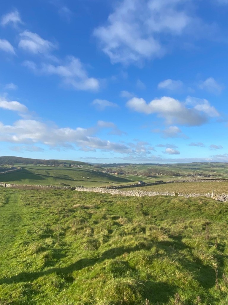
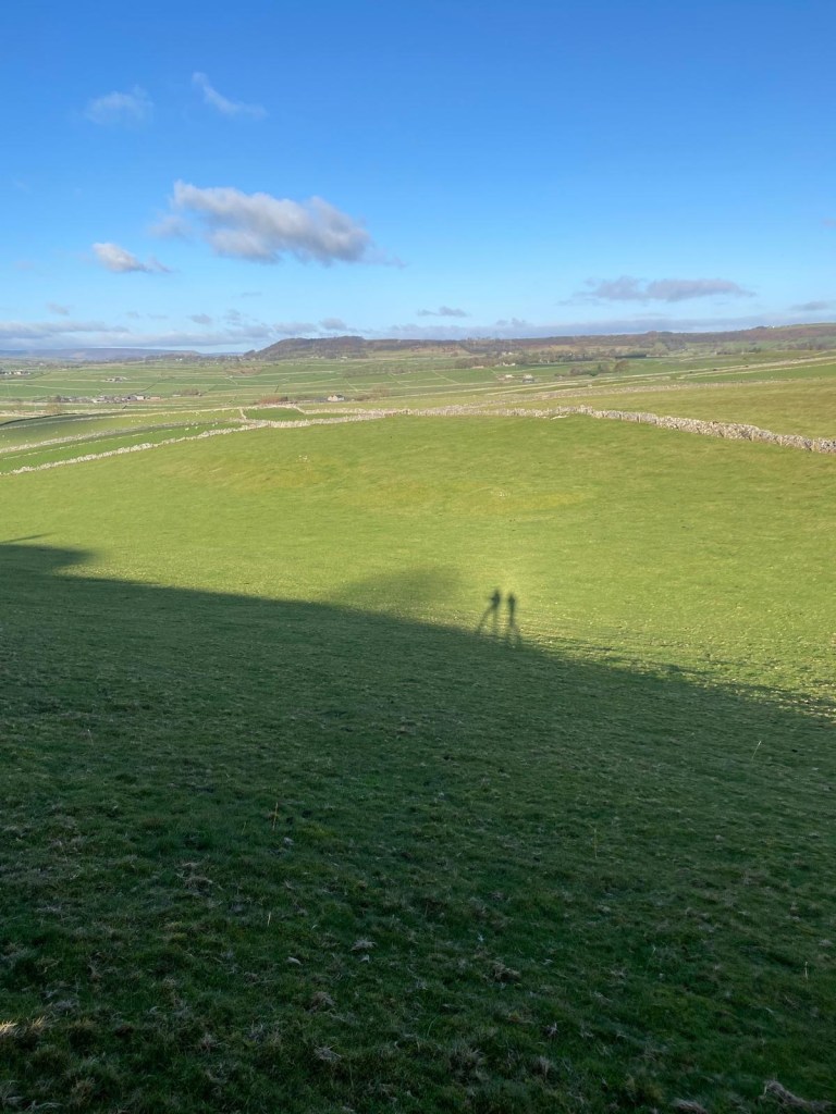
and then we walk through brighter-than-bright-green grazing pasture.
We even have a laugh re-enacting the Genesis video from “I Can’t Dance” with our shadows until we reach the road just uphill of the village of Wardlow.
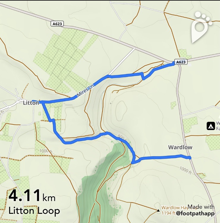
Turning right and heading down towards the village we are rapidly calculating kms/per hour, bus times and daylight hours and reluctantly we decide that today we’ll not be including the village of Litton in our litany of Ls.
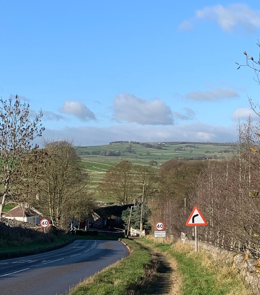
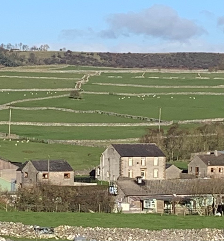
We solemnly declare that we will repeat this walk unabridged sometime next Spring or Summer when the days are longer …and then we head straight down the road to Yondermans Cafe at Wardlow Mires ( is that what it was really all about, I hear you wonder?)
Just for anyone who fancies it, the Litton Loop as we might call it, would be added onto today’s walk by turning left about a quarter of the way through the village of Wardlow along a track which suddenly gives onto a stunning surprise view down into Cressbrook Dale, Peters Stone, Tansley Dale and ahead, the aforementioned Litton. You’ll need to head to the right dropping down into the valley bottom and then follow the winding path opposite up Tansley Dale with a couple of track/field path options leading you into the village of Litton.
Litton has a community shop and cafe and there’s also the Red Lion if you fancy something stronger. Both are situated to the left of the point at which you will reach the Main Street.
To exit the village follow back along the road which is known as Mires Lane out of the village and then look for a path on your right which will lead you down the opposite side of the valley to Peter’s Stone and after a short stretch along the main road you will be back at Yondermans cafe and en route once again.
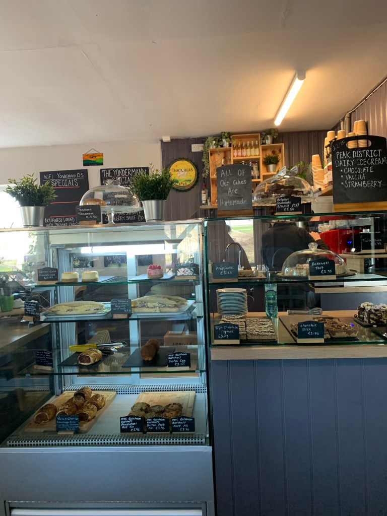
Yondermans is a not to be missed experience which has morphed over the years from an old style transport cafe to a favourite motorcycle stop off and now seems to be covering all bases for all comers ( eg everything from bacon butties to pumpkin soup.)
I’ve never known it not to be open and it’s often bursting at the seams so I guess that says something. Curiously I feel that over time the size of the sausage rolls and cakes is growing whilst the size of their mugs of tea is shrinking. Not sure what that says, except that today I could have easily done with two mugs.
Back outside after our cafe stop, now we really feel the cold as we’re waiting to cross the busy A623. We need to get moving again.
The footpath is directly opposite and starts through the muddy stock yard of the farm.
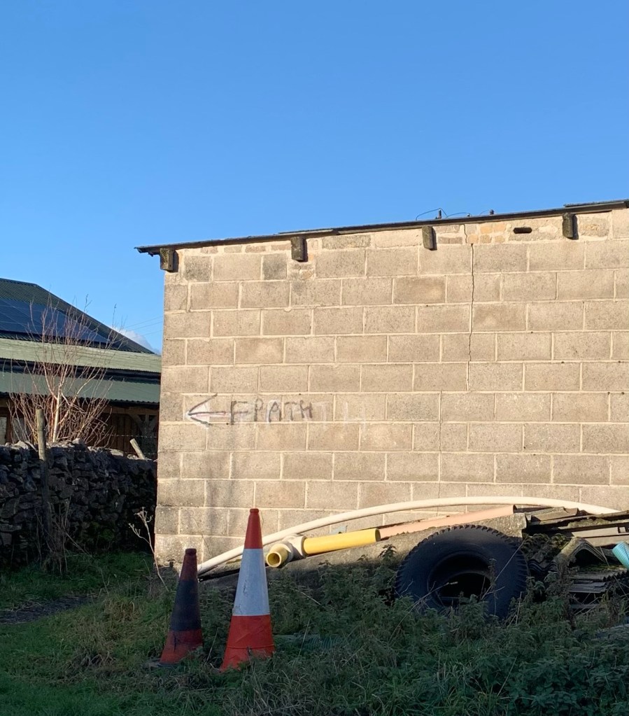
There are footpath signs scrawled on the farm buildings so you can’t go wrong and the path is soon back on the green pastures of this typical limestone scenery.
We aim straight ahead initially, for the grand farmhouse known as Stanley House, another listed building, but in the last field before the house, since it’s only grazing land, we take a diagonal across to the stile in the top right corner just to save walking two sides of the field.
Now we’re heading across a steeplechase of stiles and fields whilst enjoying even more views as we go. We’re heading towards Brosterfield Farm which is nowadays another splendid looking holiday refurb. I think this one does weddings too ( so be prepared to feel somewhat under dressed if you happen to be strolling by at the same time as the wedding party.)
The path gives onto a lane at the end of which is a cattle grid and a kind of ranch archway with the name of the farm overhead. Reminds me of something from an American Western film set.
We’re very near a road junction so we first need to turn left for a few paces and then right in order to get onto the next lane.
We pass a couple of houses and then we turn left onto a bridle way immediately before the junction with the main road ( the A623 again)
This Bridleway is a favourite route of ours to Eyam as for the most part it’s easy underfoot and allows plenty of time to look around at the landscape.
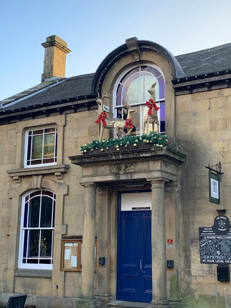
We nod towards The Barrel up on Bretton Edge, its whitewashed frontage always a good landmark and as the track heads into Eyam it’s well signed and straightforward. We head through a small housing estate and then right along the road past the church. We’re impressed by the Christmas deer up above the door of the Mechanics Institute, it must have been fun getting them up there.
We realise we’ve been this way before on a previous alphabet walk ( G is for Grindleford also passes through Eyam) but this time at the triangle near the bus shelter we now head in a different direction as we head along the lane known as Lydgate.
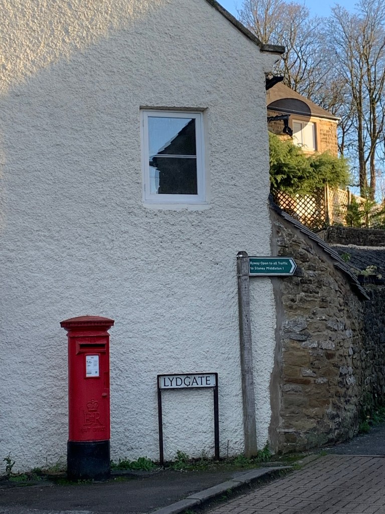
We pass the Lydgate graves and then keep straight on to the footpath ( not the Bridleway on the left) that takes us over the top of Lover’s Leap and to the famous Boundary stone.
The Lover’s Leap story is a favourite Derbyshire tale of Hannah a jilted lover who decides to throw herself off the cliff behind us but who is saved by her long skirts getting caught in the trees and acting like a parachute.
Back in the day, this tale also gave its name to another transport cafe down on the main road in Stoney Middleton, (now a restaurant), which I still mourn the departure of. In my memory, the mugs of tea there used to be enormous….
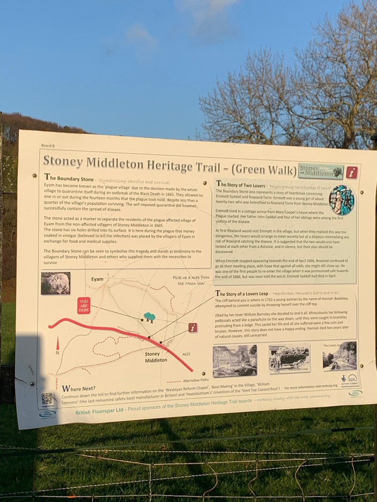
Anyway, Lover’s Leap is today’s final L ( well double L actually) and having paused to read the information board, all that remains is for us to decide on our route to Calver Sough crossroads and the bus home.
There’s a lovely back way from Stoney to Calver Sough avoiding the road but I’m afraid to say that we don’t take it today as we’re thinking we’d better focus on getting transport home.
Actually it would be great to do S for Stoney Middleton when we get that far as it’s such a fascinating village and then we could come back and do the whole area justice.
As it is today we just peg along the main road ( the A623 AGAIN!) which is very busy but at least has a pavement all the way to the crossroads.
I always find catching the bus from Calver Sough a bit confusing because there are different stops for different buses and of course, just to complicate things further, buses that go to different parts of Sheffield.
We end up catching a Bakewell bound 257 to Baslow from where we eventually pick up the usual 218 to get home.
However it would be possible to catch an opposite direction 257 from here to Sheffield if that takes you nearer to home.
Yet another option, also with its own different stop at the crossroads, (although beware, it is infrequent) , is the 65 to Sheffield.
As a final thought I guess another option if you have made faster progress than we have today would be to walk through Calver village to Curbar and then follow the Derwent Valley Heritage Trail footpath from there to Baslow and catch the 218.
So many possibilities to choose from, I will let you work it out!
Well today has been a spectacular one for views and as always the Peak District is so full of interest. We’ve been very lucky with the weather and we’ll hold onto today in our memories because at this end of the year, we might not see anything to match today again in a while.
See you next week for M.
Transport
218 from Sheffield to edge of Bakewell
Buses back from Calver Sough: 257 or 65
Or 257 to Baslow and then the 218
Pubs/Cafes
Yondermans
How far?
Around 18k
Route Synopsis
Monsal Trail, Little Longstone, Longstone Moor, Wardlow, Wardlow Mires, Stanley House, Brosterfield Farm, Eyam, Stoney Middleton, Calver Sough
Dogs?
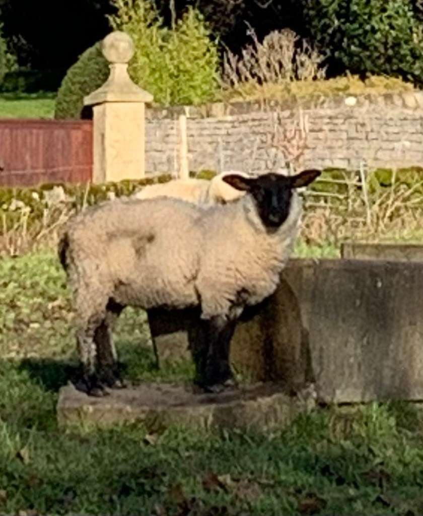
Sheep but no cows.
There were a number of stiles
Map
OS White Peak
https://footpathapp.com/routes/639B0111-961F-44BE-B6F3-CEF891382A00?units=metric
https://footpathapp.com/routes/16931398-BDC0-4E4A-BA70-06C43F57F300?units=metric

Leave a comment