Today we start by catching the 81 to Dore. Dore is the southern terminus of the bus route and we get off at the last stop which is opposite the Co-op.
We walk back along Devonshire Terrace Road, past the garage on the corner and take a right along Church Lane where we soon pass the church.
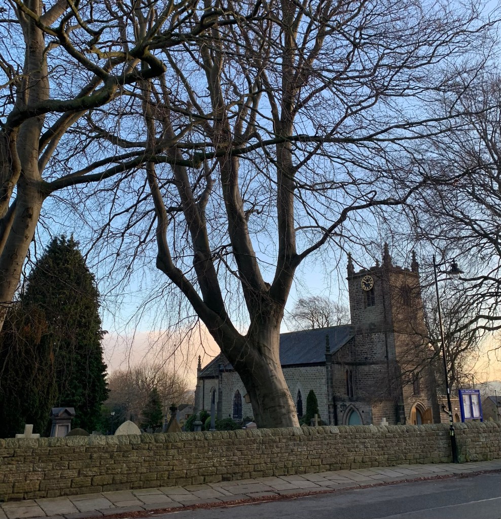
The church has recently had a makeover and is looking very smart. Originally it was built by Richard Furness who seems to have had his finger in lots of pies back in the late 18th/early 19th centuries.
Although born in Eyam apparently he was the local school master here in Dore, not to mention also being the doctor, surgeon and vicar besides drawing up the plans for the church.
His life story is certainly a colourful one.
We pass onwards along Church Lane and after the junction with Furniss Avenue ( different spelling, different guy?) we briefly cross over to read a plaque about one of the ancient village greens of Dore.
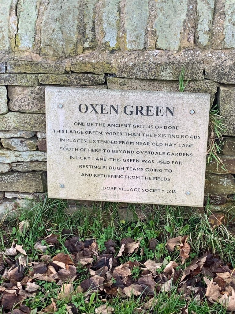
The Dore Village Society has done a lot of local historical research on the area and there’s even a village trail if you want to find out more.
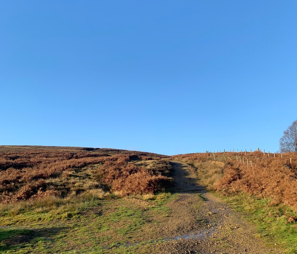
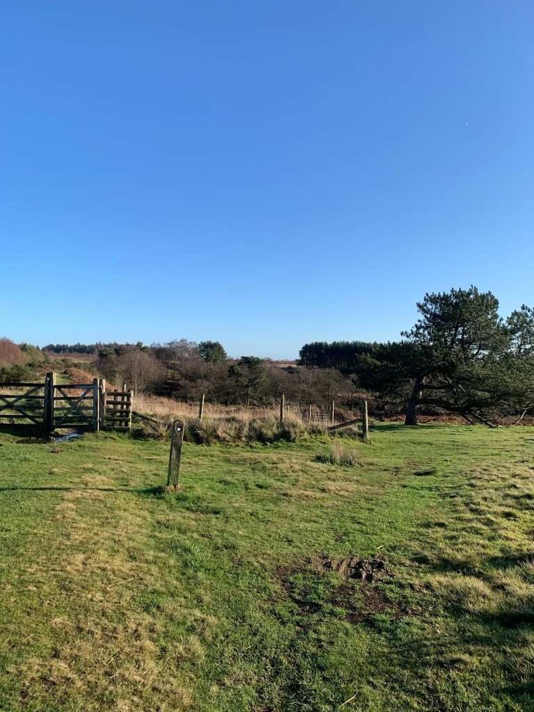
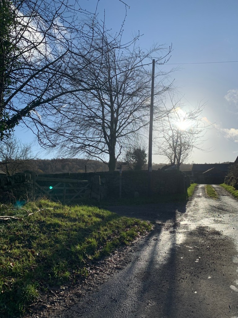
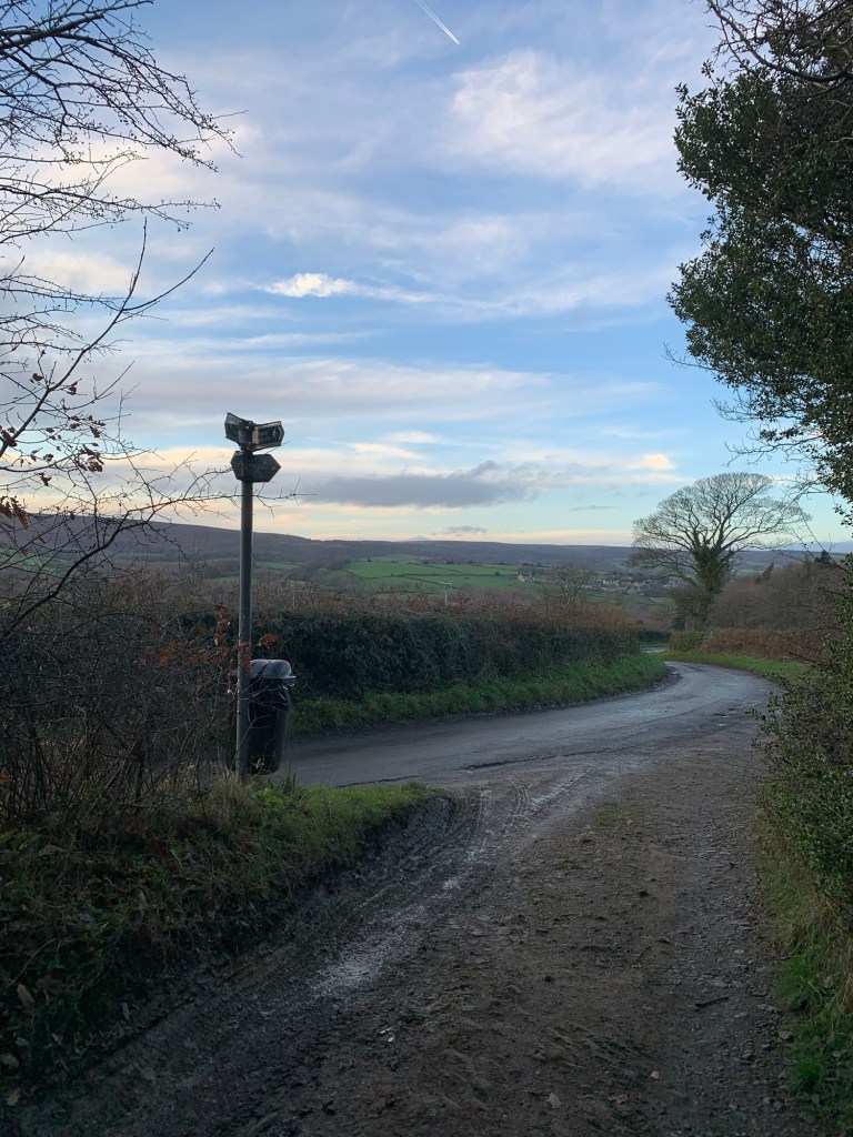
Part way along, Church Lane changes it’s name to Old Hay Lane and just before the road turns sharply to the left we continue straight on, ignoring the driveway to Broadstorth Farm
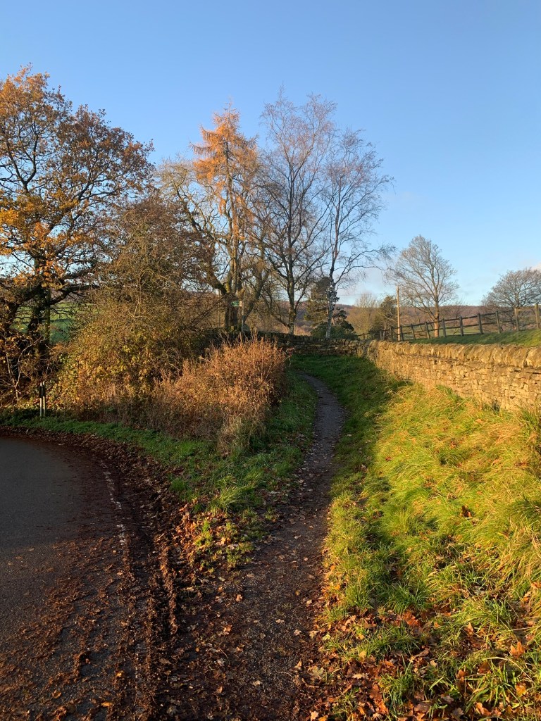
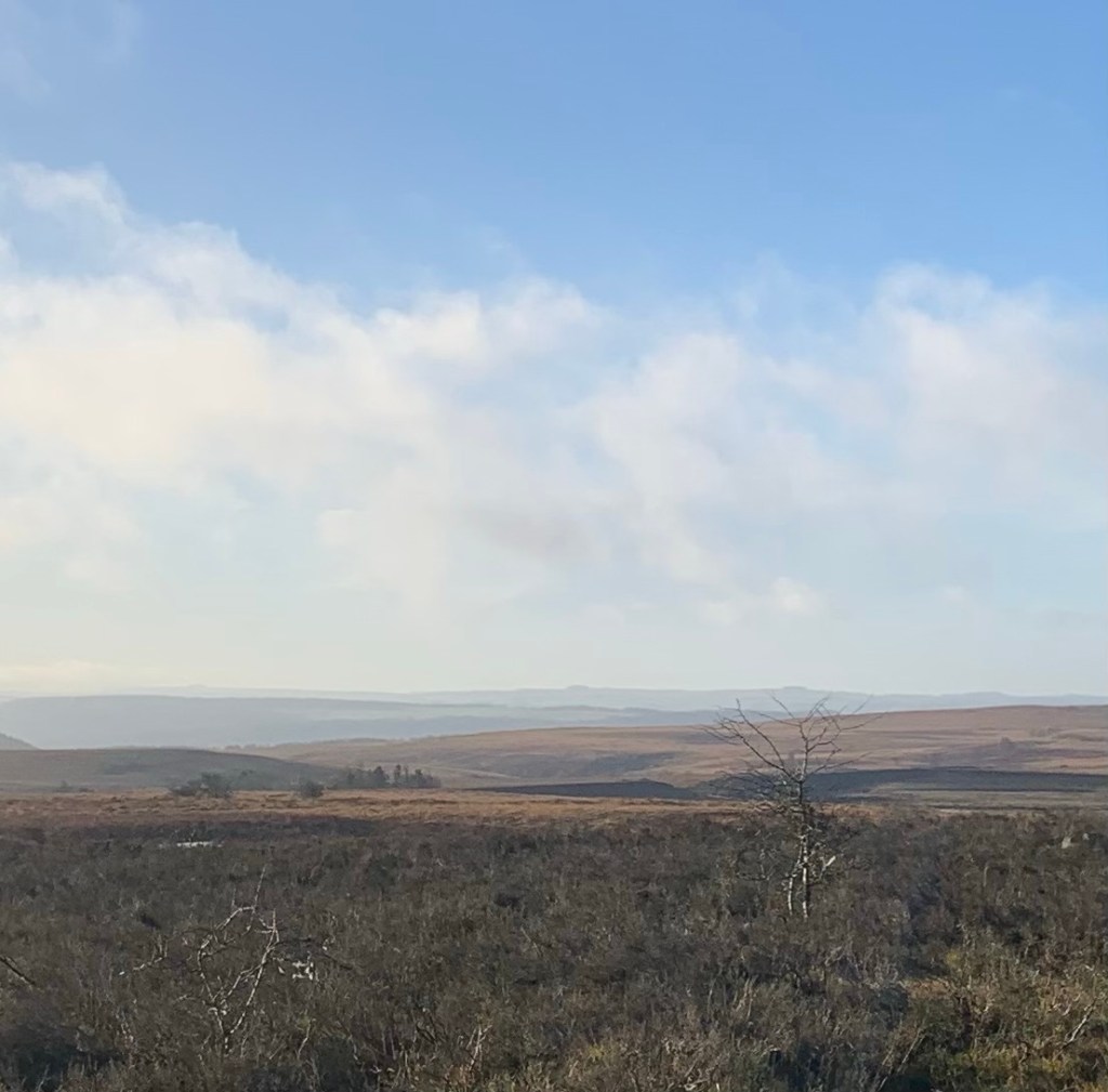
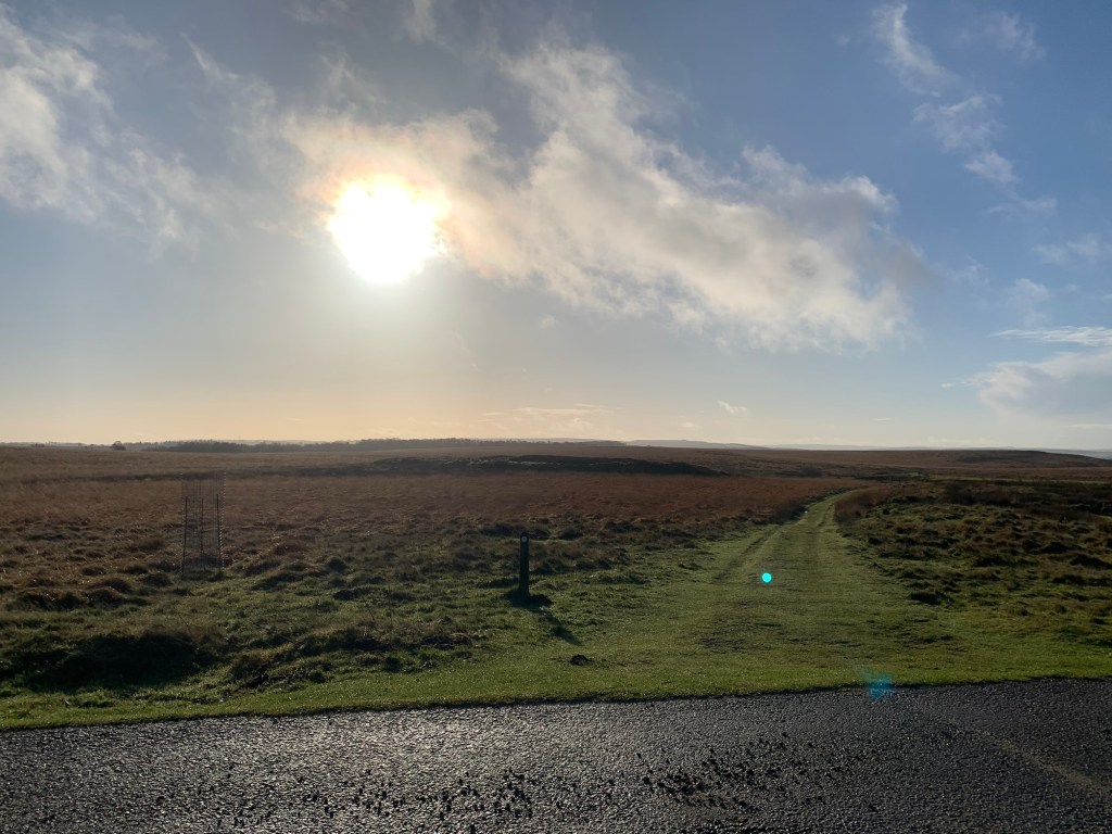
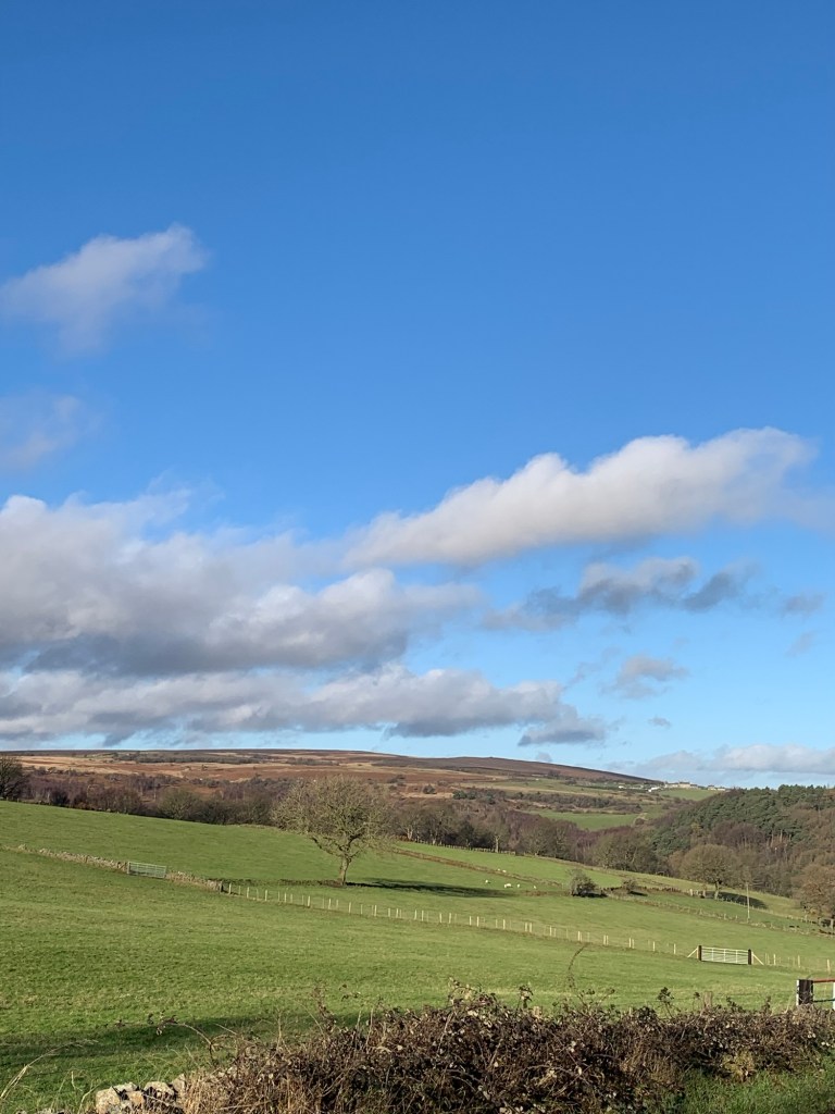
and clambering over a stile to be rewarded with instant views of Totley Moss and Blacka Moor.
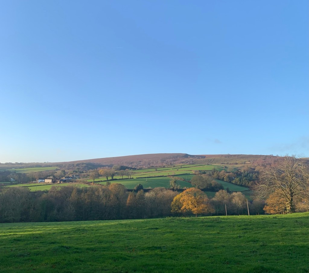
The path runs down the field parallel to the wall and parallel to Old Hay Lane. It’s probably safer than continuing on the road which has by now become very narrow and like a sunken hollow way, ( which I think means it has to be a VERY Old Hay Lane indeed.)
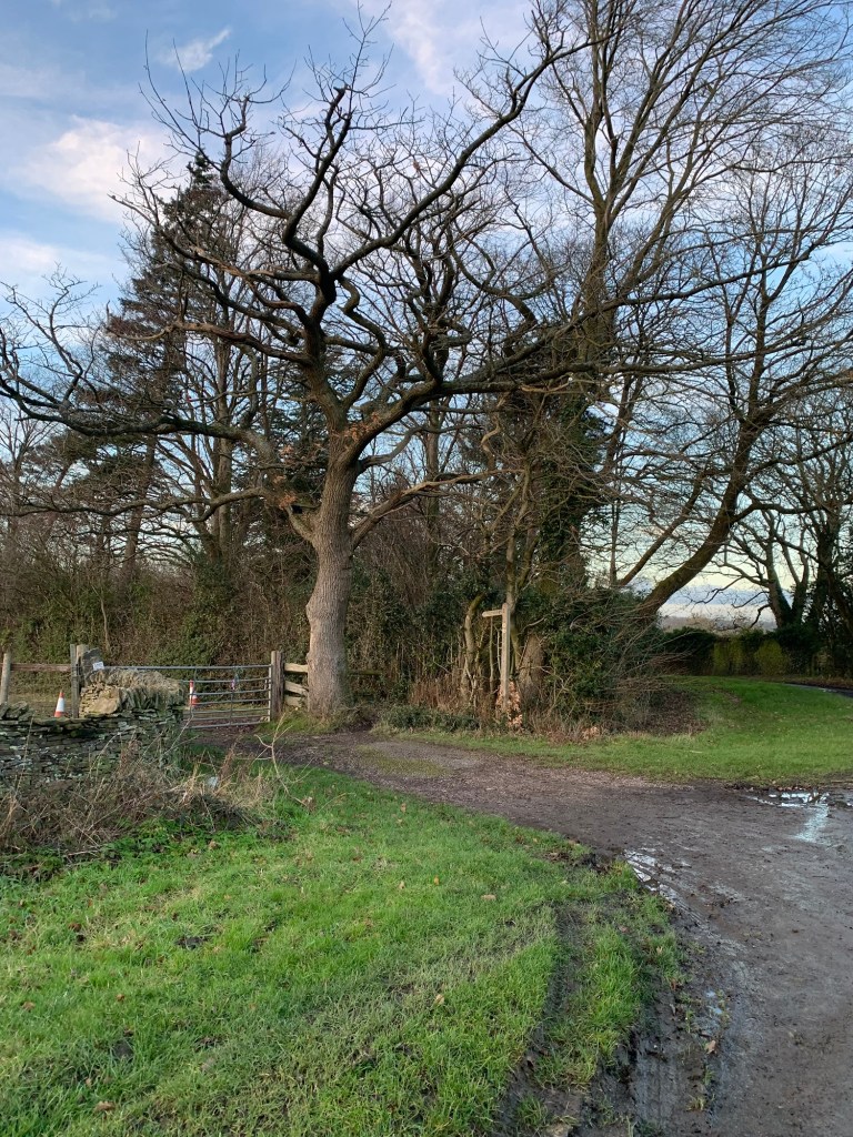
At the bottom of the field we climb another stile and cross the driveway leading to Avenue Farm to a small gate
which leads us down steps and over a stream, Blacka Dyke (or Old Hay Brook?)
We turn right past some buildings which used to be part of a mill and just when it looks as though we’re going to arrive at someone’s front door
we do a left and a little dog leg onto a field path with views of the open moorland once more.
At the end of the field path we pass some more buildings
and at the lane we turn briefly right and then left along Lane Head.
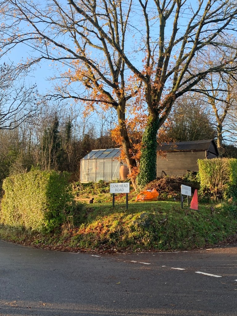
Now we’re looking out for Moss Road on our right, which will take us up onto the moor.
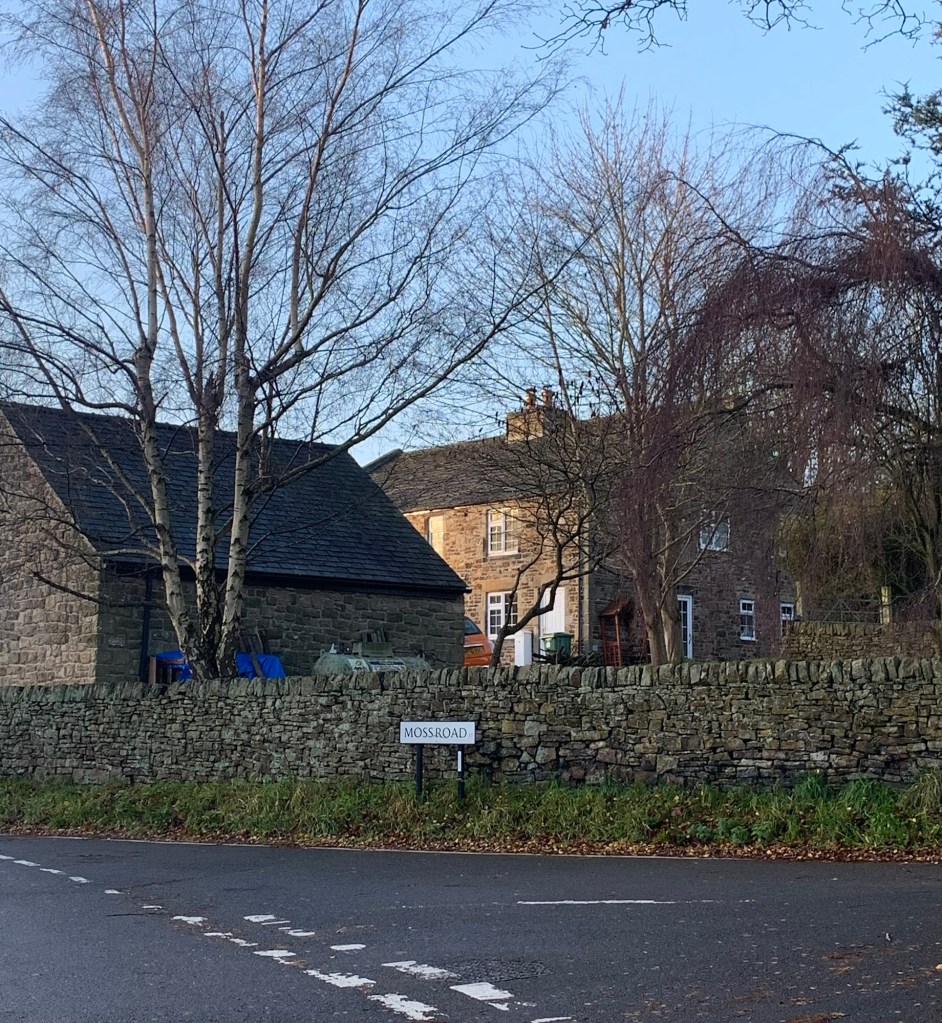
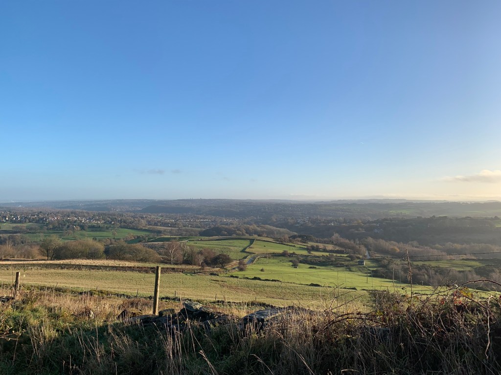
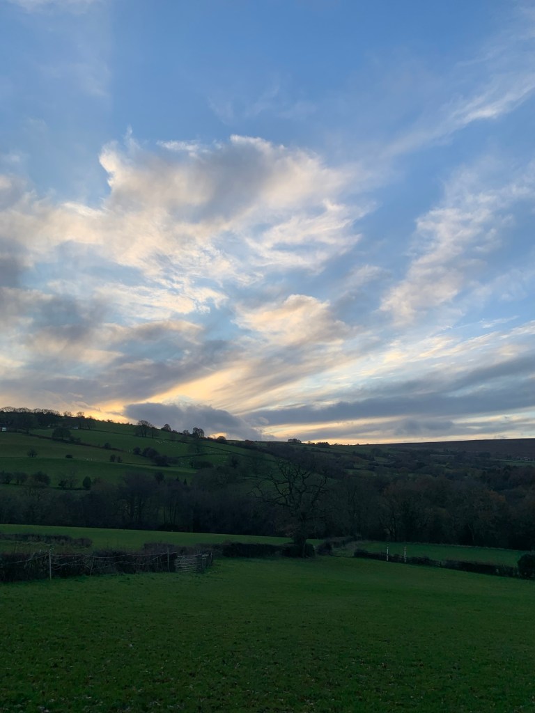
We have been incredibly lucky with the weather yet again and as we gain height the views back over Abbeydale and towards Sheffield are spectacular.
The lane turns left and becomes a track after a drive straight ahead leads to the remote residence of Bolehill Lodge, originally built as a gamekeeper’s lodge but with obvious references to lead smelting living on in its name.
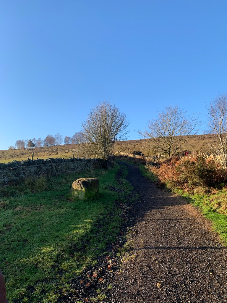
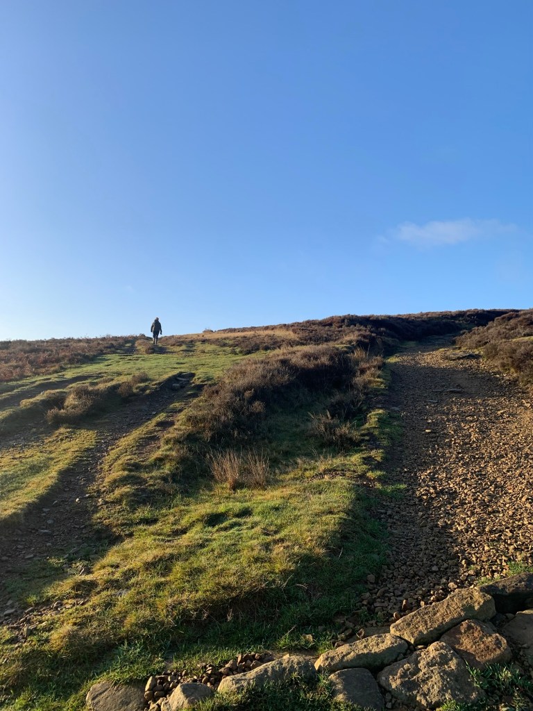
We climb a bit more and then we’re at the gate onto the open moor.
We go through the gate and keep straight ahead, ignoring the first path which is almost immediately on our left.
However as we walk we are looking out for the next path to the left which initially is not as clear as the main track across the moor.
Today a dog walker conveniently shows the way. If you find yourself dropping down to a footbridge retrace your steps, you have turned off too soon! Keep climbing up a little further….
It’s a wet patch of moor at the best of times but we manage to pick our way through without getting a boot full and once past the massive cairn over to our left on Brown Edge the views ahead open up and the path becomes firmer under foot.
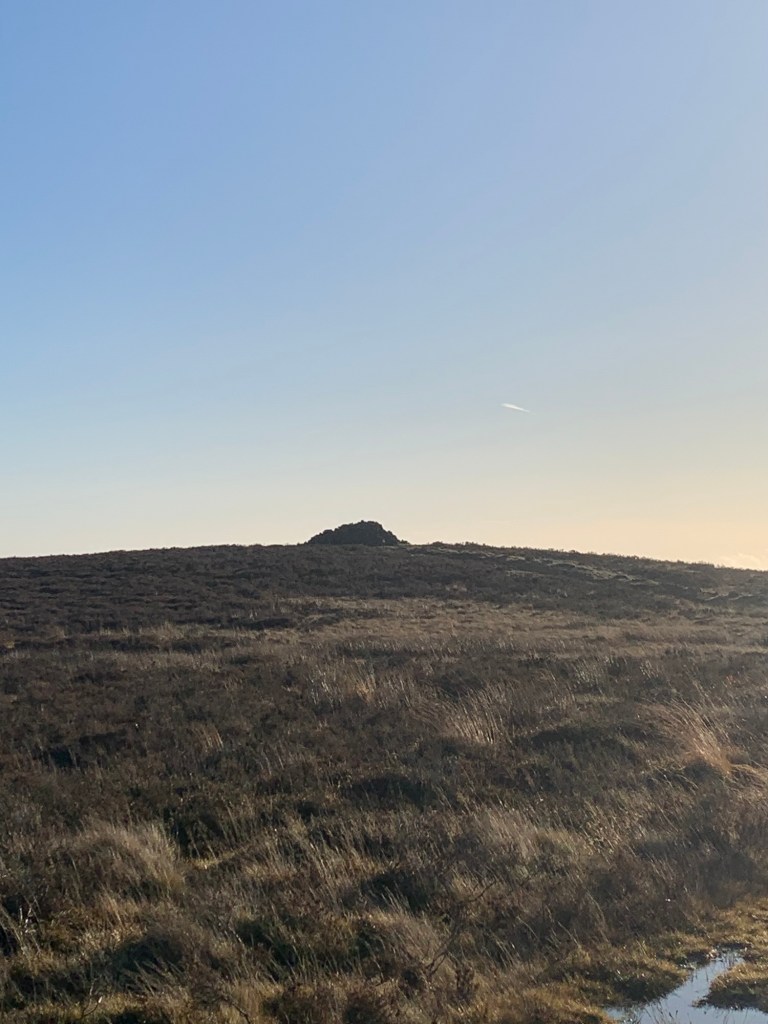
There’s been much speculation about the cairn with suggestions that it might be prehistoric in origin, aligning with the sun and Whirlow and all manner of theories. In fairness there does appear to be evidence of an ancient stone circle nearby.
However I can’t help enjoying the story of the bored 1980s college student having built it whilst living in (now demolished) student accommodation in Totley.
The track meets the busy Owler Bar to Fox House B6054 by an enclosure which I think is something to do with the Gas Board and we cross straight over to the path opposite as we begin our walk across Big Moor.
The footpath arrows point right
but we plunge straight ahead over some more wet stuff. Surprisingly though, compared with some of my visits to Big Moor it’s not too bad and we’re soon passing another isolated dwelling on our right, Bar Brook Cottage.
Currently an HQ for the Eastern Moors Partnership I imagine this was originally a Water Board construction as are many of the paths we’re following today. easternmoorshistoryandarcheology.wordpress.com
We cross straight over the tarmac driveway to the house and head straight on once again.
By now we’re on a well drained track which makes for delightful walking and everything near and far looks so beautiful today in the bright light of the low winter sunshine.
We pass the little reservoir which these days is often frequented by wild swimmers but there’s no one braving the elements today.

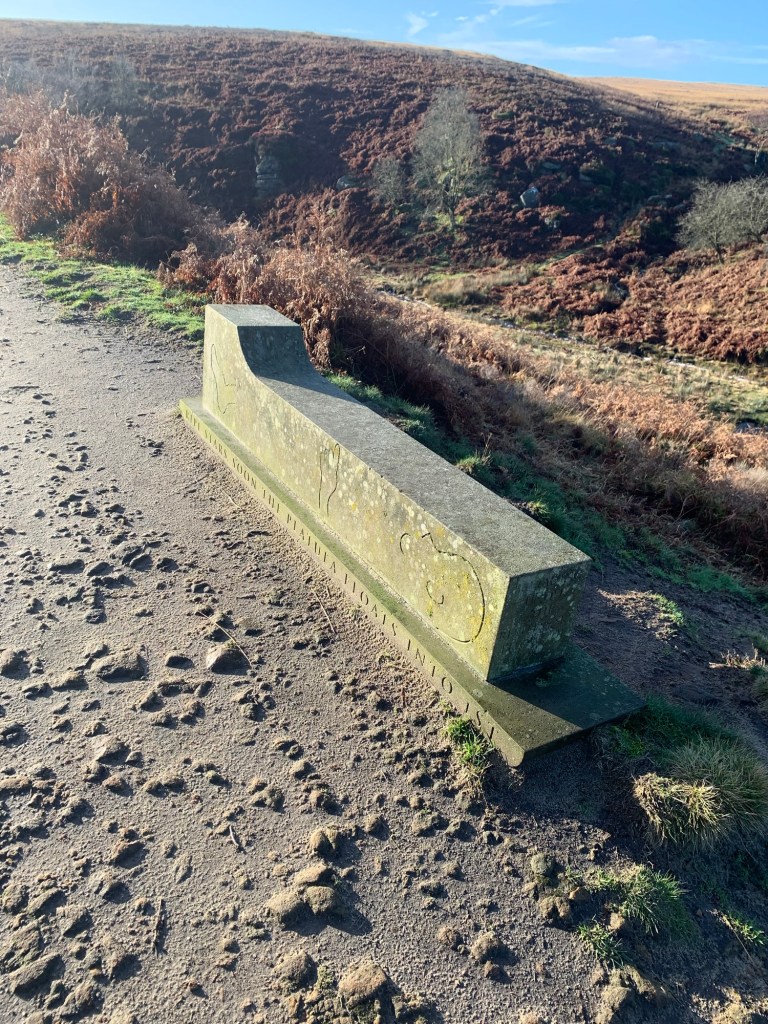
There’s an odd sculpture that we feel obliged to take a photo of and then we are onto the edge of the area of the moor which is well known for its prehistoric significance.
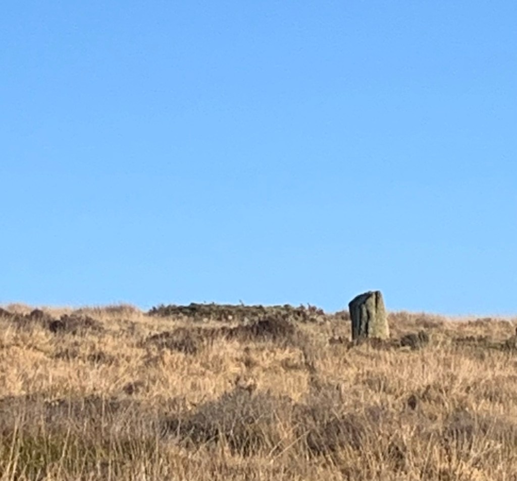
Over to our left we spot a couple of stone circles without even leaving the path but if you’re interested and have a few hours to spare there’s a lot more to be seen further off piste.
Over to our right on the other side of the stream we can see the plateaued area known as Swines Sty which is reputedly the site of an ancient neolithic settlement
and which involves even rougher walking and is even further off piste if you’re really intent on rediscovering the distant past.
If you’re happy just sticking to the path perhaps it’s sufficient to say that one of the archeological curiosities of the moor is how it seems as though the living quarters are situated on one side of Bar Brook while the burial sites and stone circles are on the other.
Pondering such things we come to the end of the track and have to move swiftly back into the 21st century in order to nip across the busy A621 Sheffield to Baslow Road
but straight opposite we’re immediately back on another good track which takes us to Ramsley reservoir and then onto Fox Lane.
We turn left along the lane which is quiet enough today and then at the T junction we head straight on through the trees with Shillito Woods car park above us on our right.
Now there’s also a footpath option at the T junction ( through the white gate) which I’ve always taken previously but although it can be very pretty in the Spring I also remember it regularly being a bit of a mud-fest so today we’re staying on the tarmac instead.
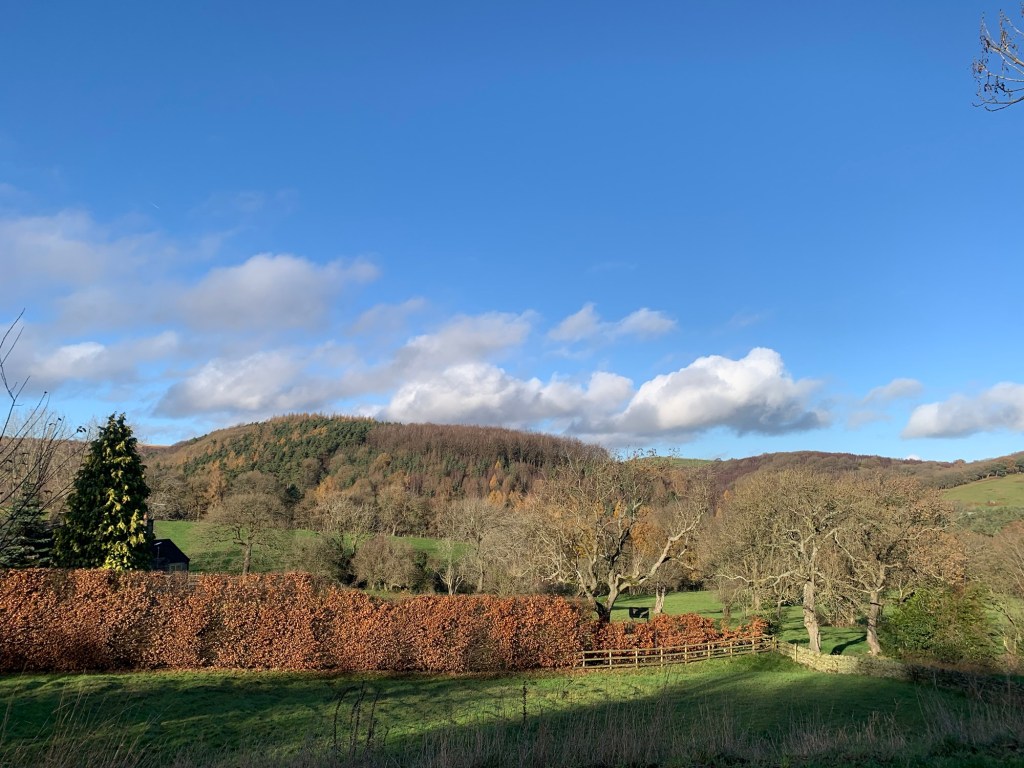
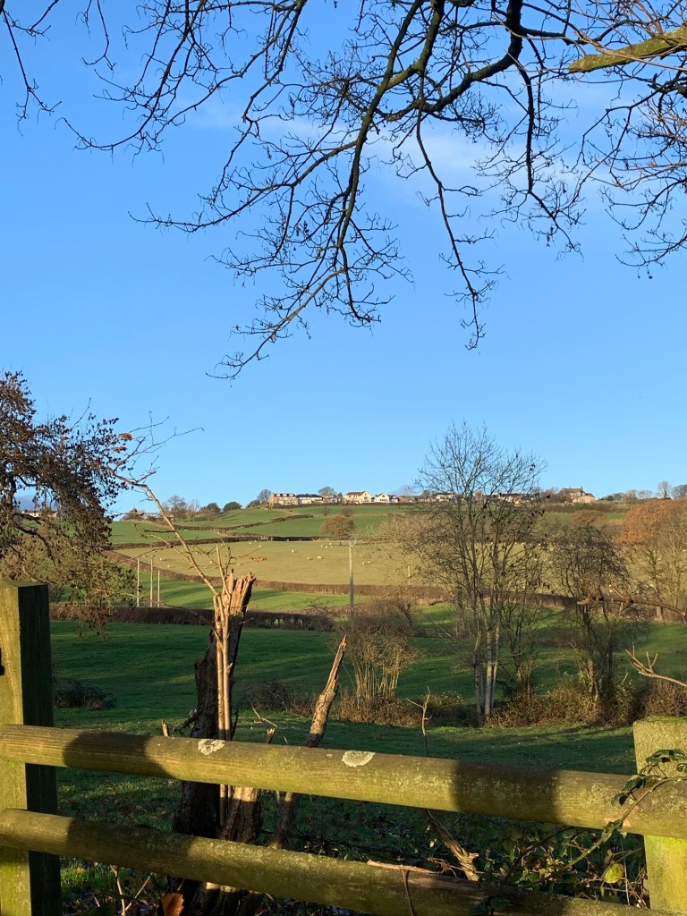
This choice turns out to be a good one because for a start we only see one car the whole time but more importantly due to being elevated as opposed to being on the path in the valley bottom, we get some cracking views. In fact we even reckon we can see part of our route to Ingmanthorpe from last month’s walk for I.
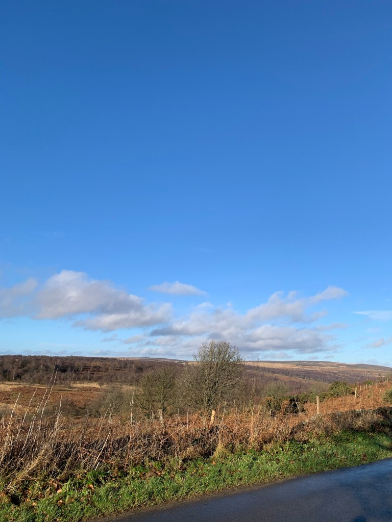
In the opposite direction we can see back over towards Brown Edge and the cairn, Totley Moss and Big Moor, where we were just a few hours ago.
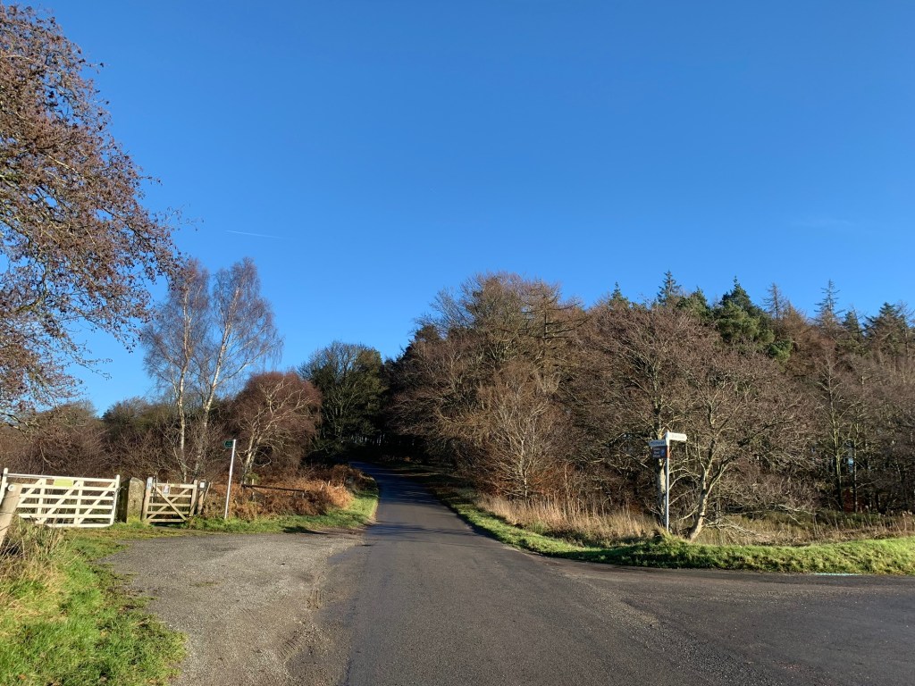
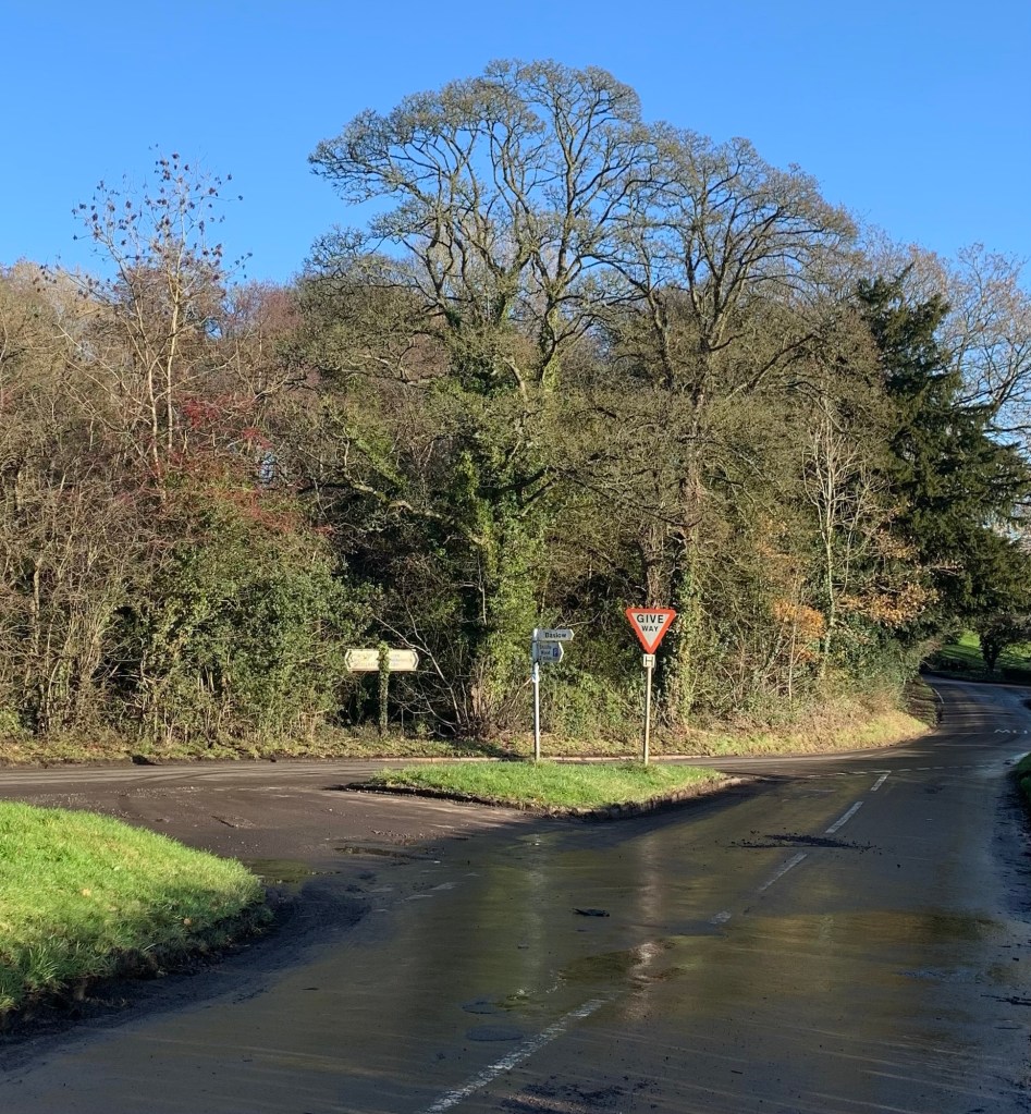
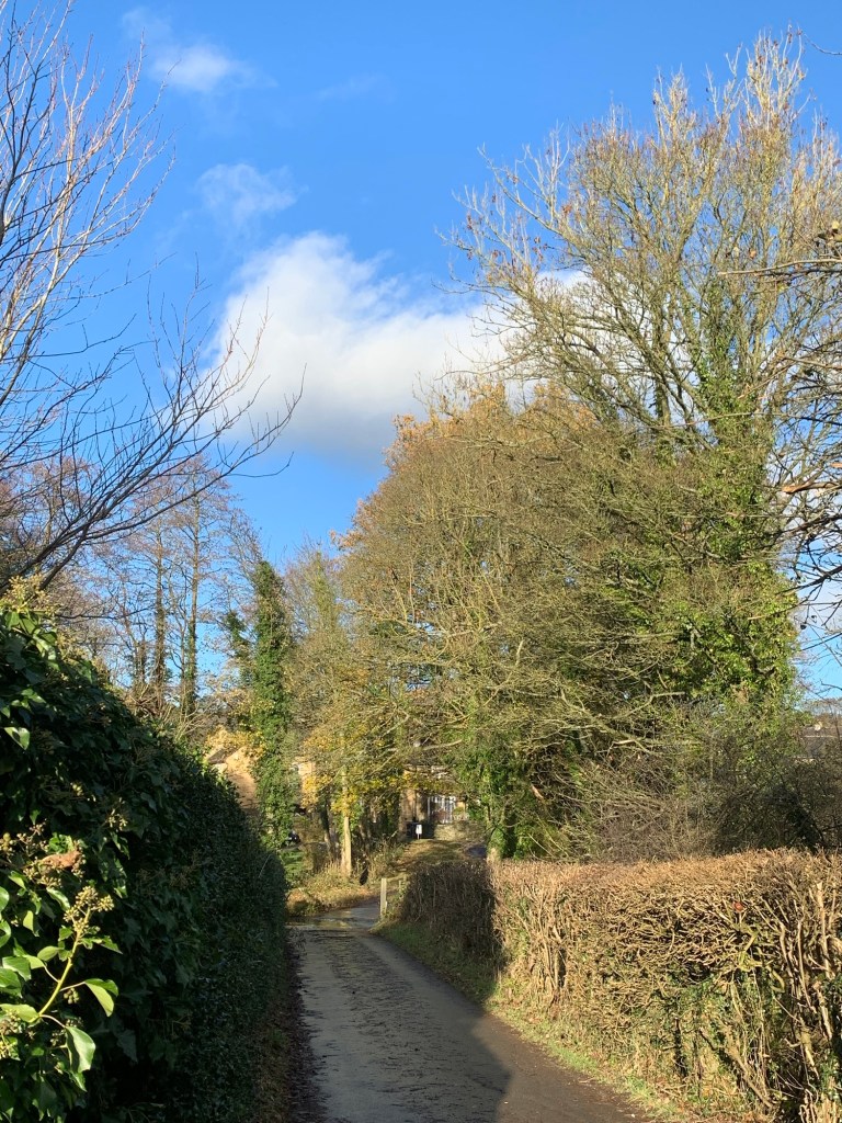
Our road heads steeply downhill to join the main road ( the B6051) through the Cordwell Valley but we only follow this briefly to the right before we turn right again along the lane towards Unthank.
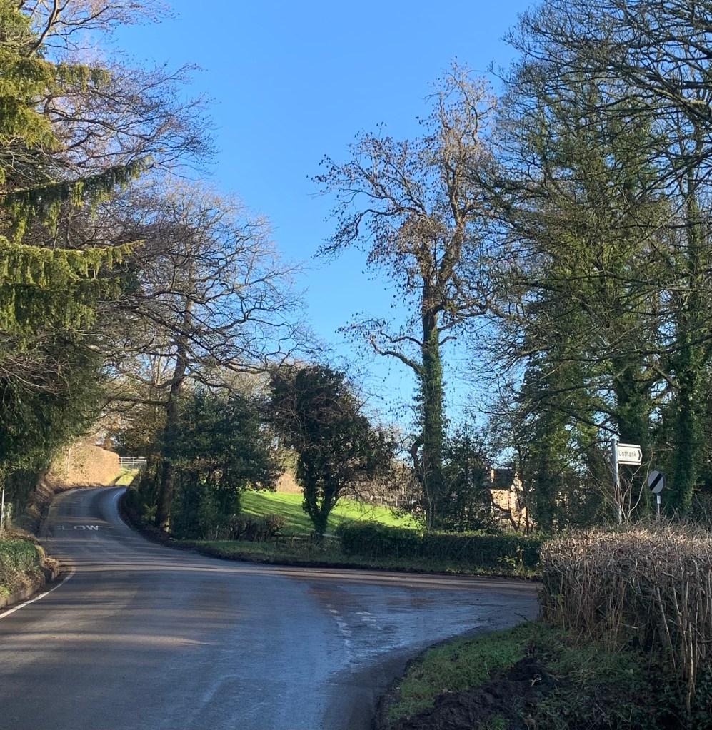
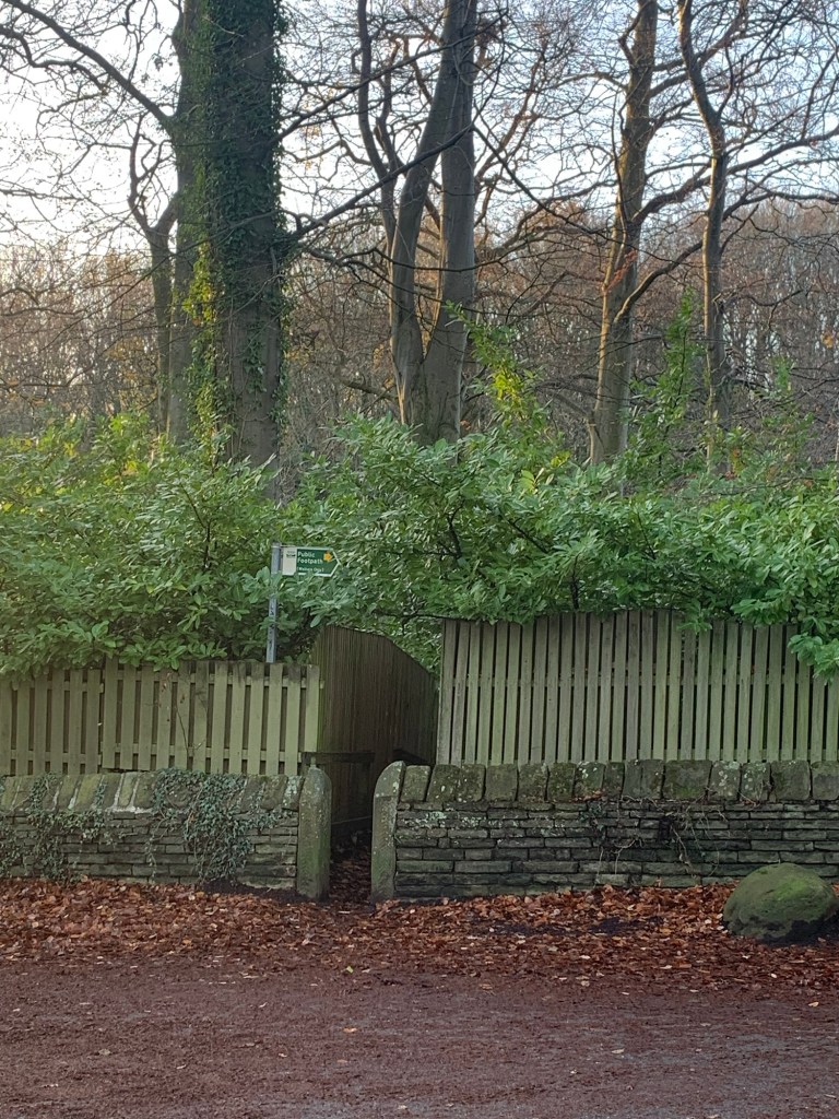
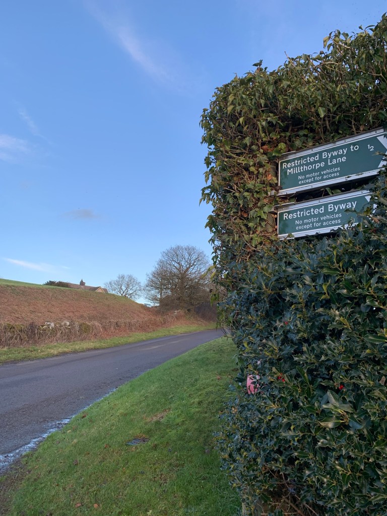
We used Unthank for our U last time we went through the alphabet but we’ve not been along here since. Nothing looks to have changed though as we take the path on our left just before the few buildings of the hamlet begin, and head through the fields to Milthorpe.
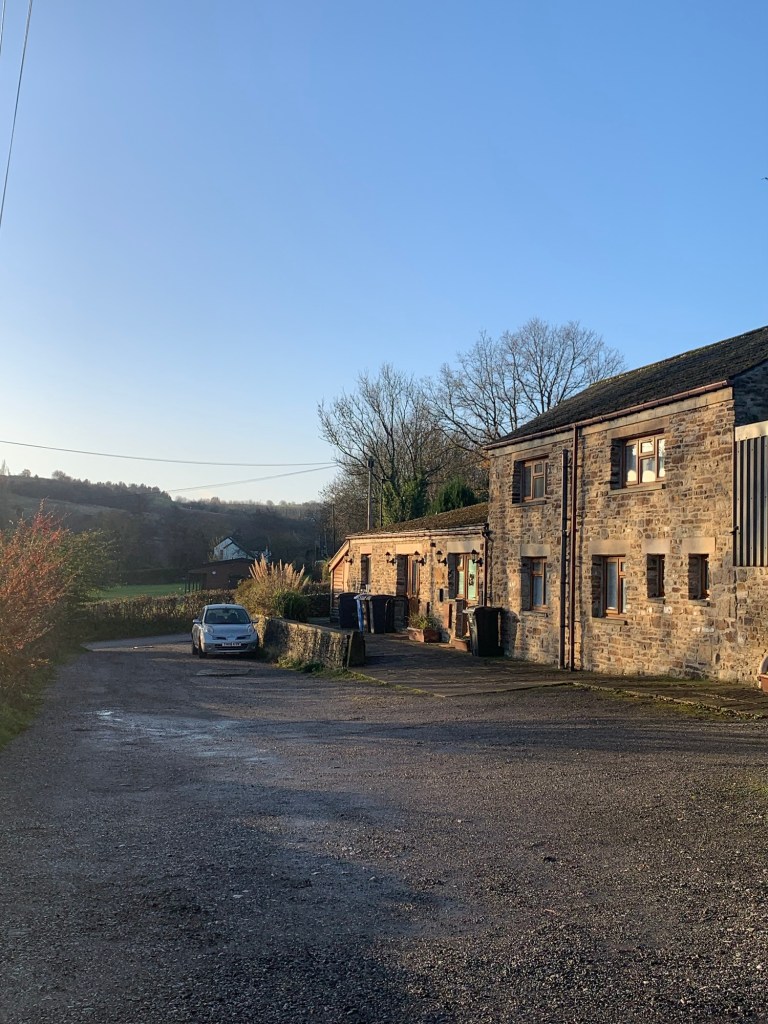
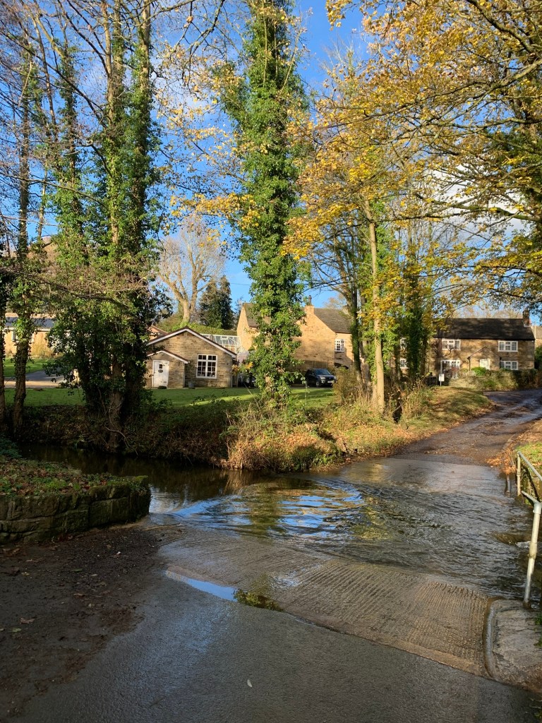
It’s a great way to approach the village and so much better than driving through it on the B road. With the stream below us on our left, our path then joins a back lane which we follow left as it leads us down to a ford and footbridge and past some of the lovely old buildings of Milthorpe including the old Mill, all tucked away from the main thoroughfare.
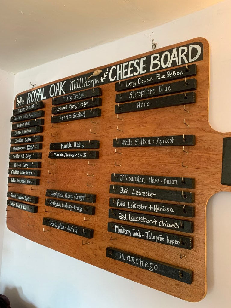
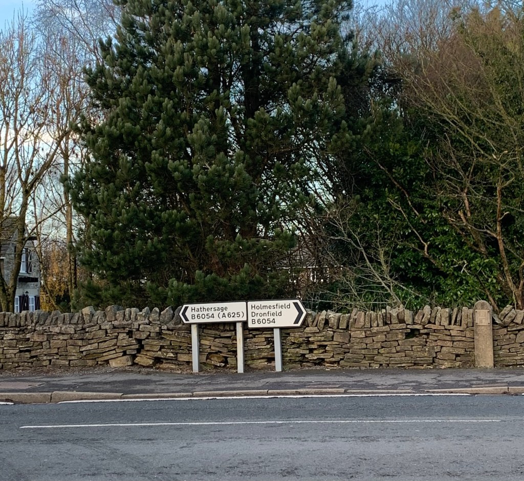
At the T junction with the main road we turn left to the Royal Oak where we are looking forward to sharing a cheese board!

It’s a lovely old pub and the food is unusual and amazing. The portions are huge and the prices are very fair. We have been here before and it’s every bit as good as we remember it. We spend most of our lunch break trying to think of ways to include Milthorpe in the rest of the alphabet walks!
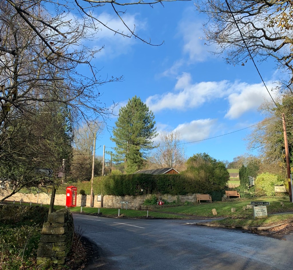
Brim full of cheese ( and with some in our packs for later) we head back along the road to the phone box and war memorial and turn left uphill.
After a few hundred metres there are two footpath signs to the left.
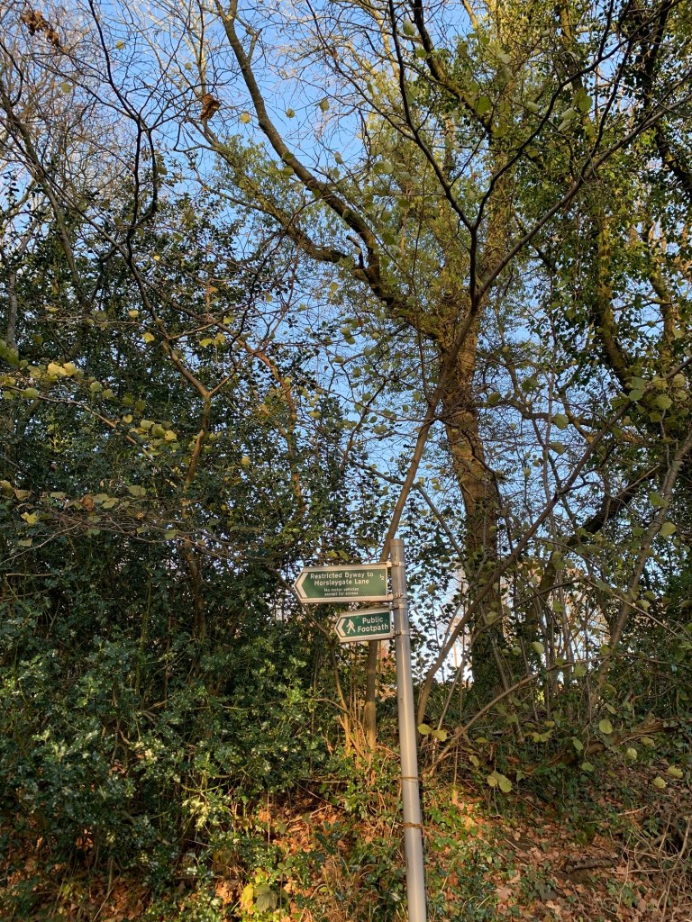
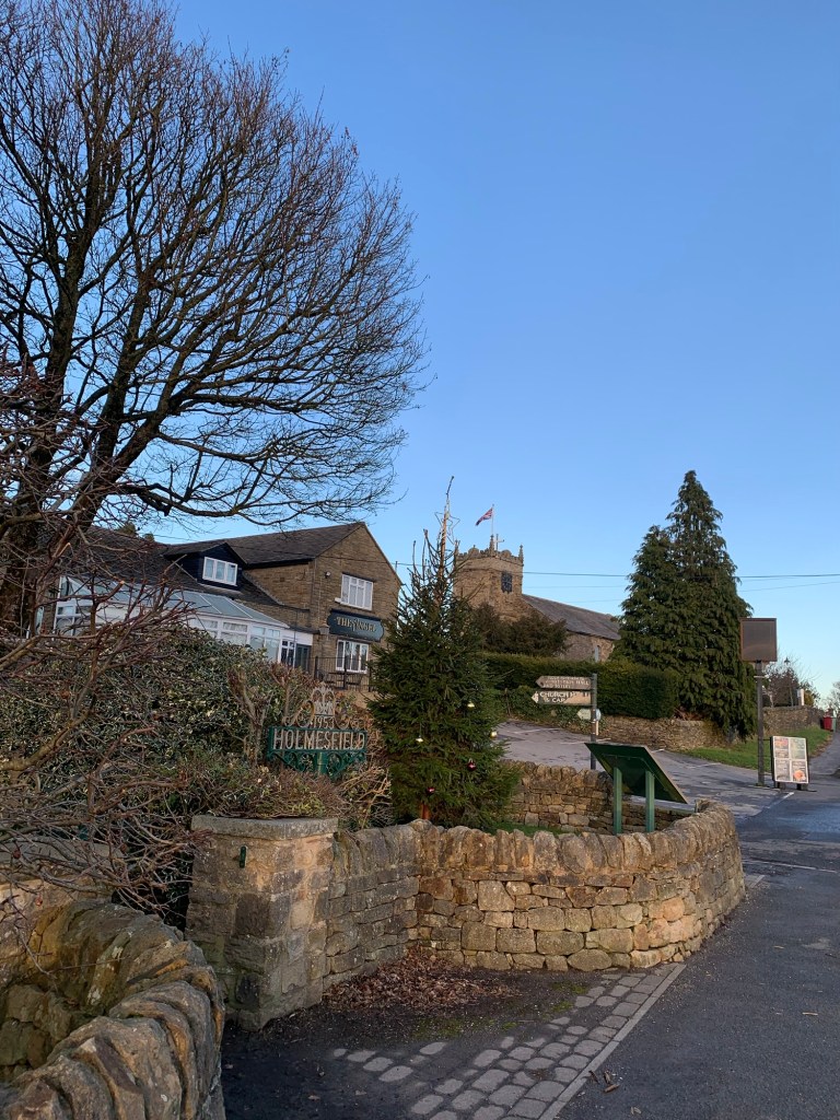
Whereas the footpath leads straight ahead through a gate we opt for the Bridleway on the left which crosses over another stream and then winds its way prettily up the hill to Holmesfield.
On emerging from the path onto another lane we turn right
and then right again as we meet the main road, the B6054.
After a few minutes we’re at The Angel pub where we turn left past the rather quaint millennium garden and onto a path through woodland.
At the end of the path we keep straight ahead on the tarmac road
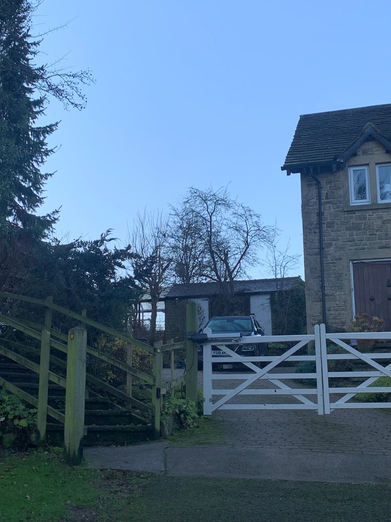
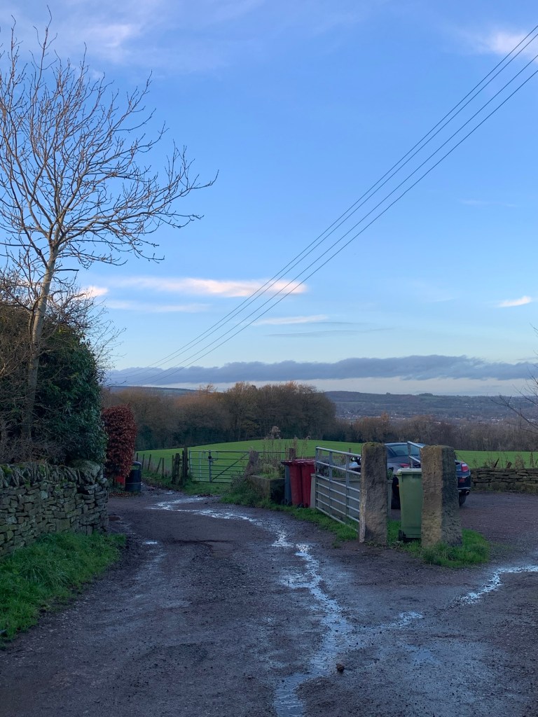
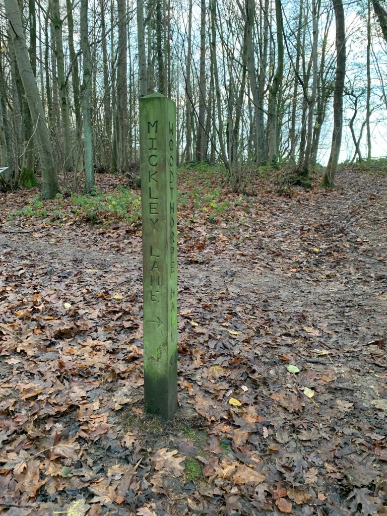
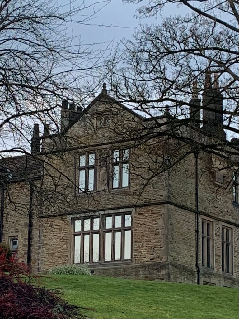
until we reach the footpath on our left which circumnavigates the fiercely private Woodthorpe Hall.
The path is obvious and once back into the open we head downhill with more great moorland views in the now failing winter light
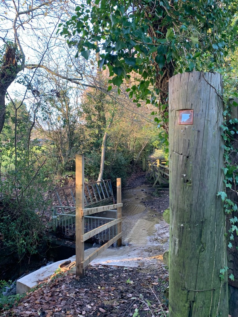
to cross over Totley Brook after only a brief tangle with mud.
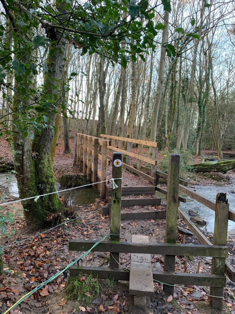
Once across the bridge it’s important to head straight on up the bank and straight on again at a footpath sign in order to get to the stile which will take us along a field path and into old Totley.
As the buildings begin we pass Totley Old Hall and the old school ( which looks like it’s having a makeover) the church down to our right and some lovely old cottages mingling in with newer builds.
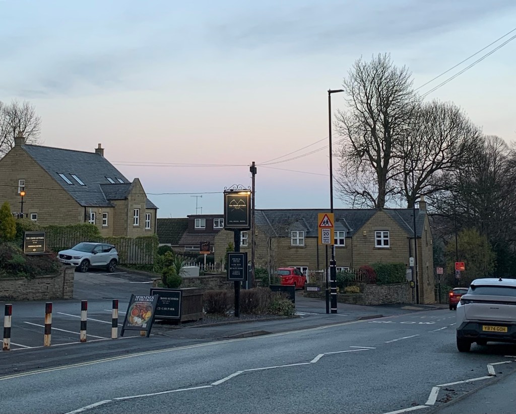
With the old Fleur de Lys pub ( now flats) on our left we head across the crossing and turn right for the bus stop just past the Cross Scythes ( still a pub) and the end of a very satisfying walk.
There’s a choice of buses back to Sheffield from here; either the 97 or the 218, which is always a good thing and fine by us.
However you could easily make this into a circular walk by continuing down Hillfoot Road past The Crown and back onto Old Hay Lane and Dore, although by so doing you would be reducing your choice of buses as the only bus to serve Dore village is the 81.
Counting our blessings with the weather gods having given us yet another amazing day out we’re now looking forward to what next week will bring us.
Transport
81 to Dore
97 or 218 from Totley Cross Scythes to Sheffield
Pubs/Cafes
Royal Oak, Milthorpe
The Angel, Holmesfield
The Cross Scythes, Totley
How far?
Around 19k
Route Synopsis
Dore, Totley Moor, Big Moor, Ramsley Reservoir, Shillito Woods, Fox Lane, Unthank, Milthorpe, Holmesfield, Totley
Dogs?
Probably okay although there have been problems with dogs and highland cattle on Totley Moor.
Map
OS White Peak and a little bit of Google Maps
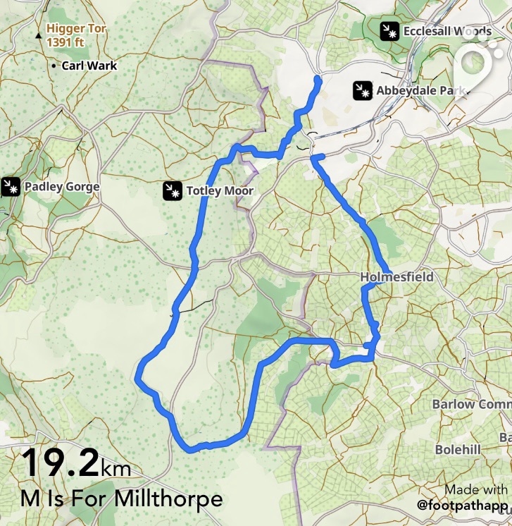
https://footpathapp.com/routes/715D047C-4581-4998-9DAF-FCFFD52C5AF7?units=metric

Leave a comment