
Today we start our walk from Miller & Carter at Park Head.
The buses that travel this far along Ecclesall Road from town include the 81, 272, 65 or 218.
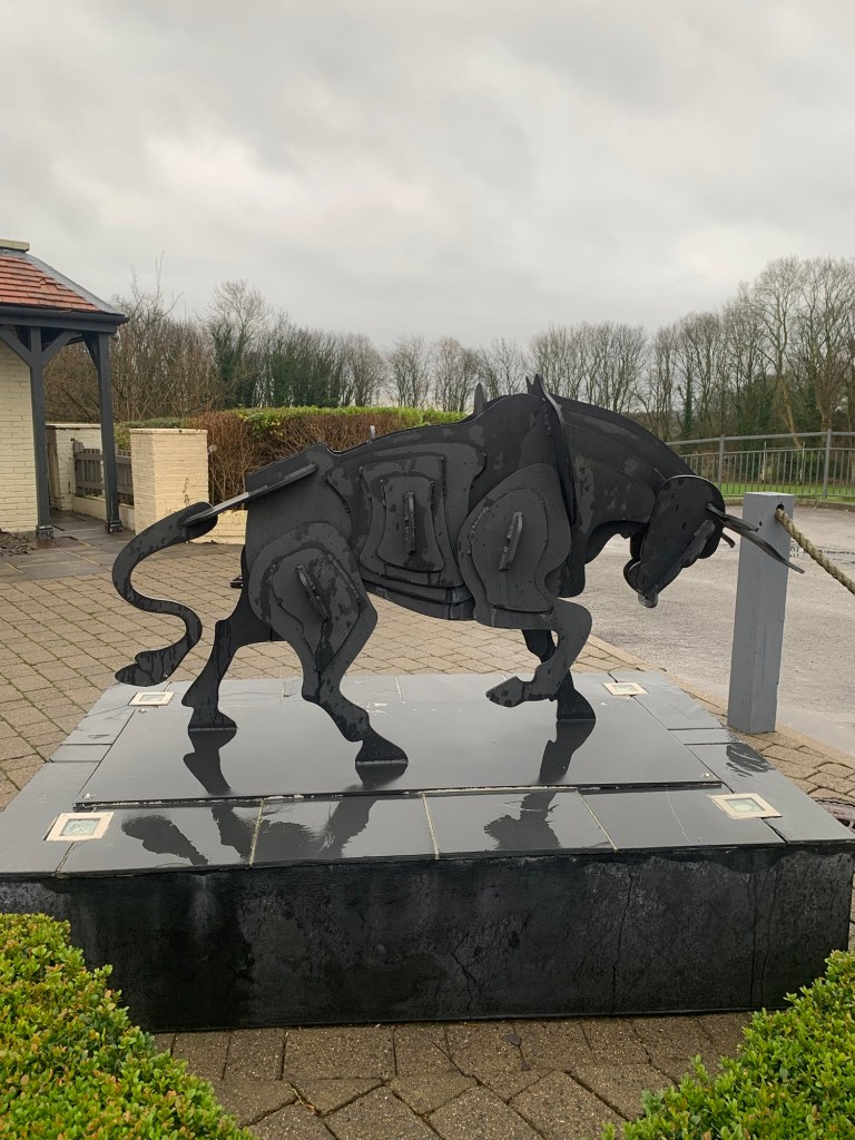
As we alight, we make our first and only encounter of the day with a bull….this is the kind of bull we’re both very happy to make an acquaintance with.
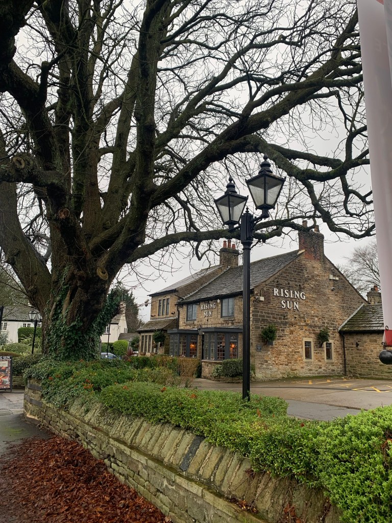
We walk down the first part of Abbey Lane until we cross over to the Rising Sun pub. If it was later in the day this is a good place for an actual pot of tea, would you believe?
And it’s definitely not the ruin of either of us poor girls by the way …..but of course it’s not; the Rising Sun of the song was in New Orleans and we’re about to walk through Whirlow.
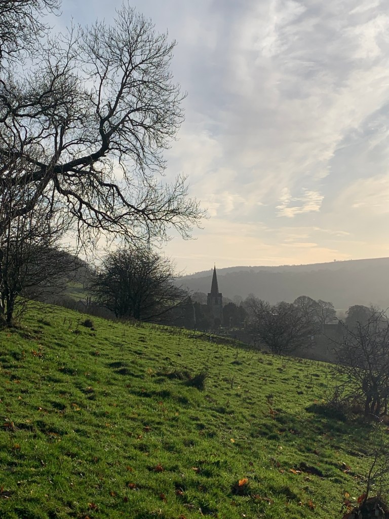
If you just think of Whirlow as a fairly recent up-market suburb then maybe you should think again as here and there on this first section of our walk are tantalising glimpses of old Whirlow and, as archeology groups have discovered, some of it is very old indeed.
As we walk up Little Common Lane we say a quick hello to St Luke’s; such an amazing Sheffield institution that continues to do so much for so many people when the chips are down.
The history of Clifford House, now part of St Luke’s is well worth a read and also provides a general insight into the area.
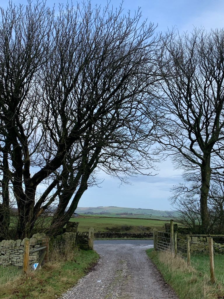
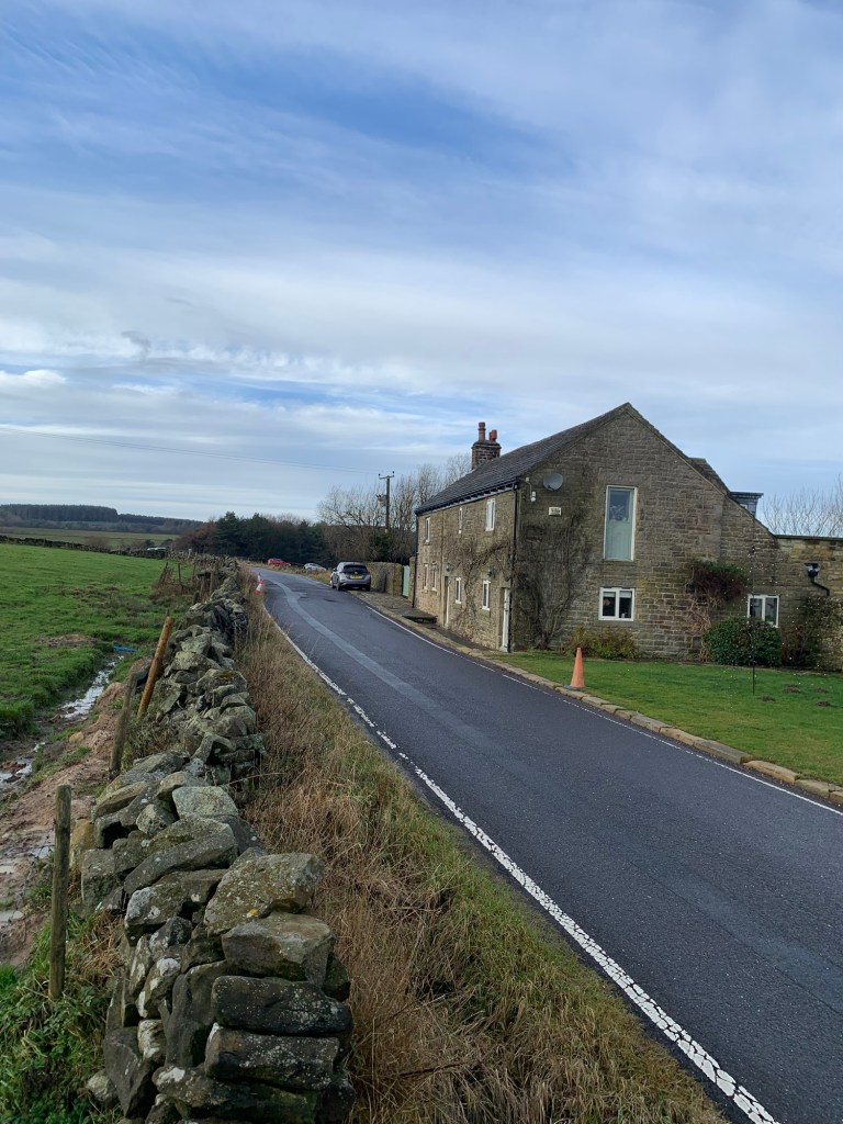
As we cross Ecclesall Road and continue along Whirlow Lane it’s easy to imagine the lane as it would have been prior to the building of the turnpike road ( now Ecclesall Road). Continuing up hill and around a corner to the left we see further dwelling houses and old farm buildings that have obviously been around for centuries.
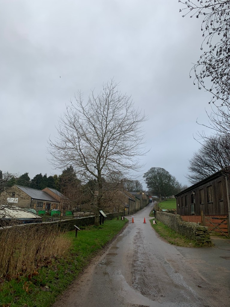
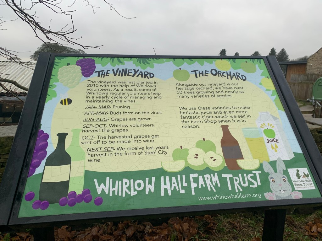
At the T junction with Broad Elms Drive we turn left towards Whirlow Hall Farm.
We’ve been walking for less than half an hour and here’s the second amazing Sheffield institution of the day.
We take the lane through the farm yard
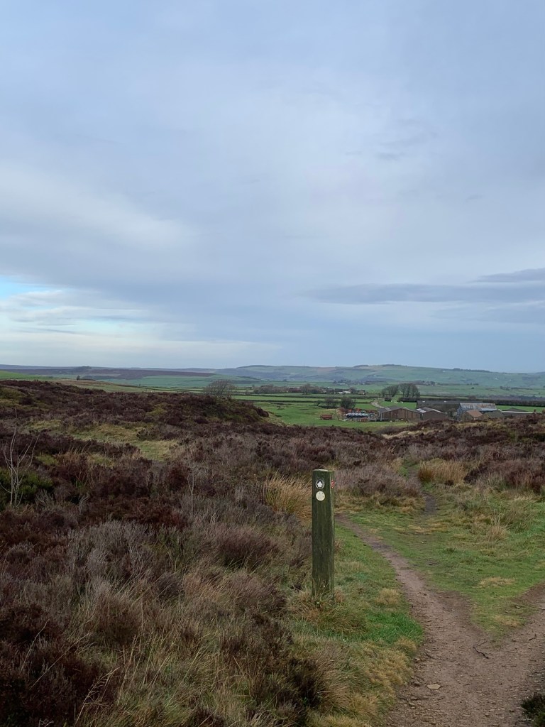
and at the top we turn left onto an atmospheric old trackway known as Fenny Lane
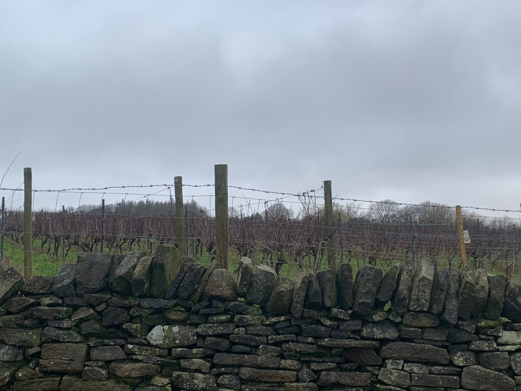
before taking the first stile on our right over the field (next to the vineyard no less, although it’s not looking very Mediterranean today)
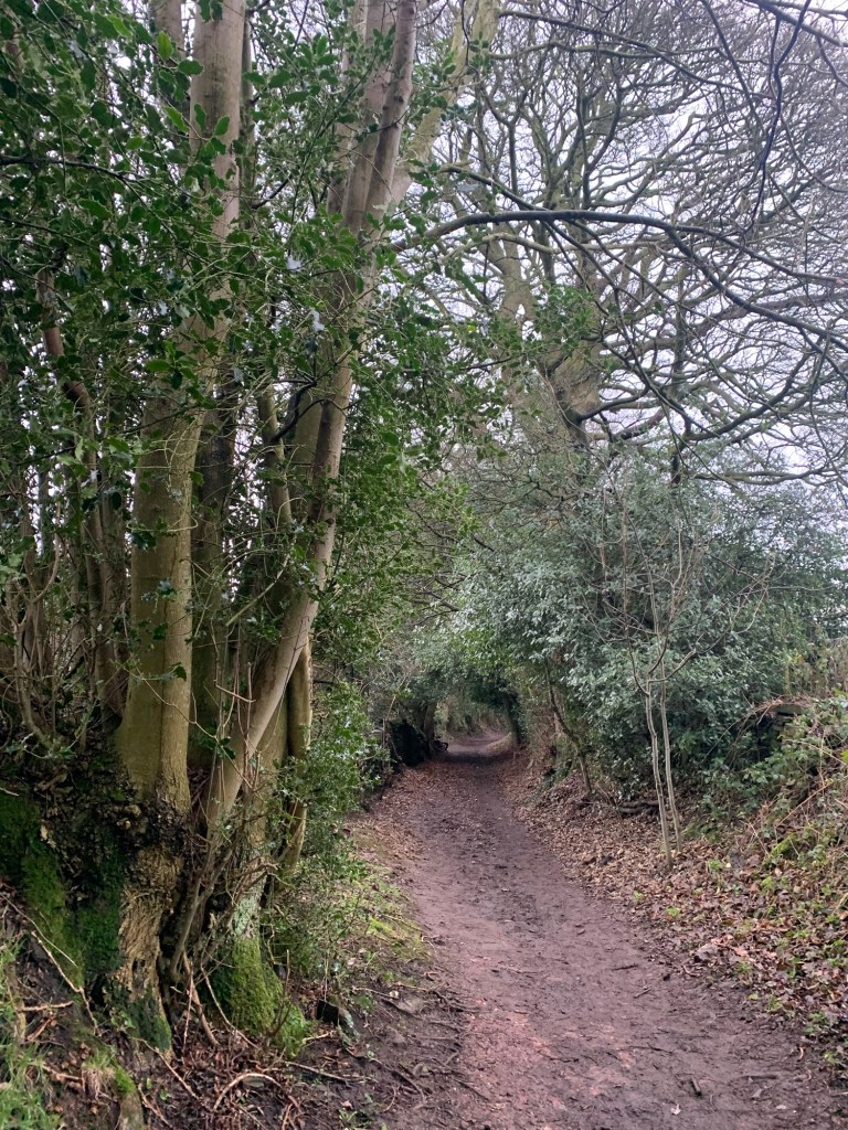
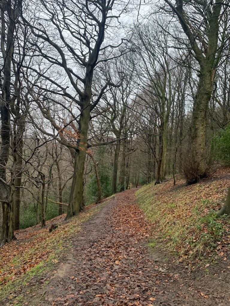
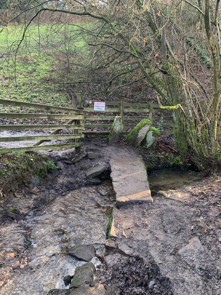
to where a further stile takes us onto a descending path through the woods to join the main path up the Limb Valley.
https://www.archaeologicalresearchservices.com/Whirlow%20Heritage%20Trial.pdf
There’s so much history here…..archeology groups have found evidence of a Roman settlement at Whirlow and it’s thought to have been pre-dated by an Iron Age settlement even earlier still.
The high vantage point of the area near the farm must have been of strategic importance and this sheltered valley of the Limb Brook would have been handy for sheltering livestock.
The name Limb itself is probably linked to the word Limit (rather than a body part!) and it’s thought that the brook was the border between the ancient kingdoms of Mercia and Northumbria before also becoming part of the border between Yorkshire and Derbyshire later, for many years.
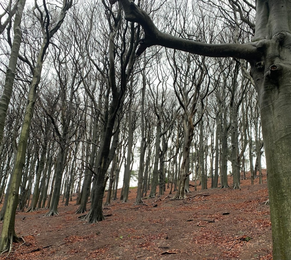
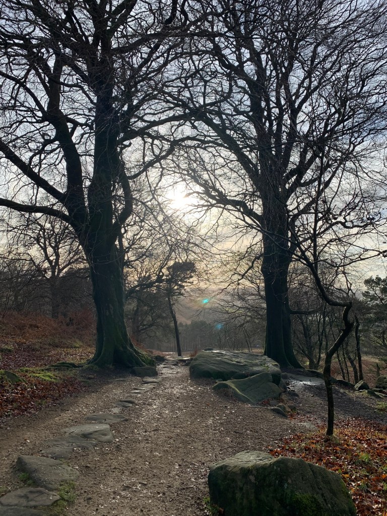
Part way along the path the trees are especially atmospheric, after which the woods gradually give way to smaller trees and scrub as we climb up towards the top of the valley.
Before the path ends at a junction with Sheephill Road we pass an area of old coal mining debris on our right and it’s fascinating to think how many changes this, now rural, landscape has been through.
We turn left briefly along Sheephill Road (although it would be possible here to turn right and pop into the Norfolk Arms for refreshment if required) and then branch off right onto the car parking area at the beginning of the path over Houndkirk Moor.
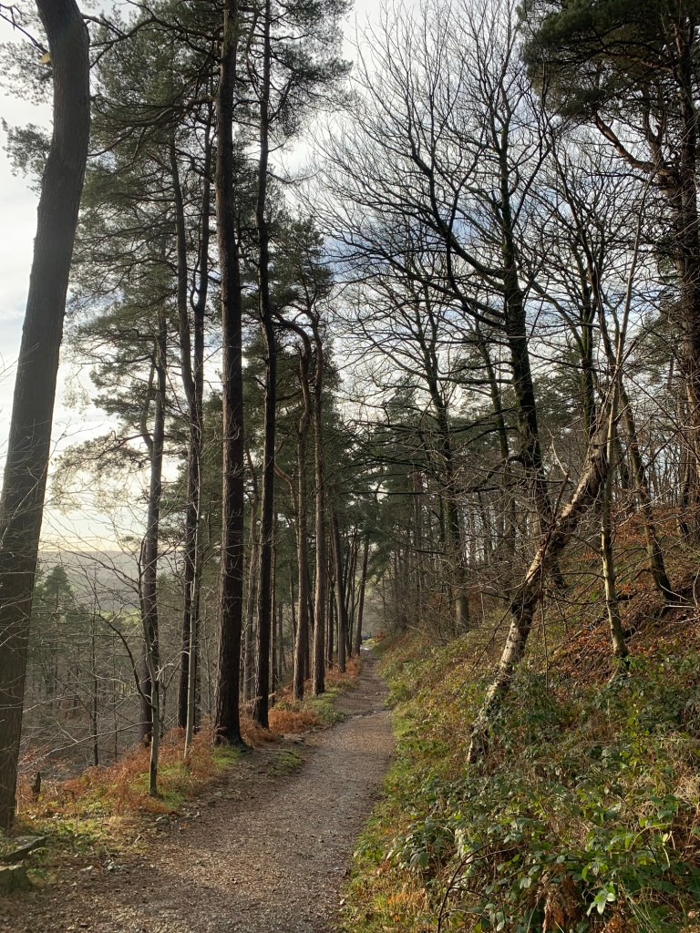
Then we quickly branch off right onto the path between the conifers, through Lady Cannings Plantation.
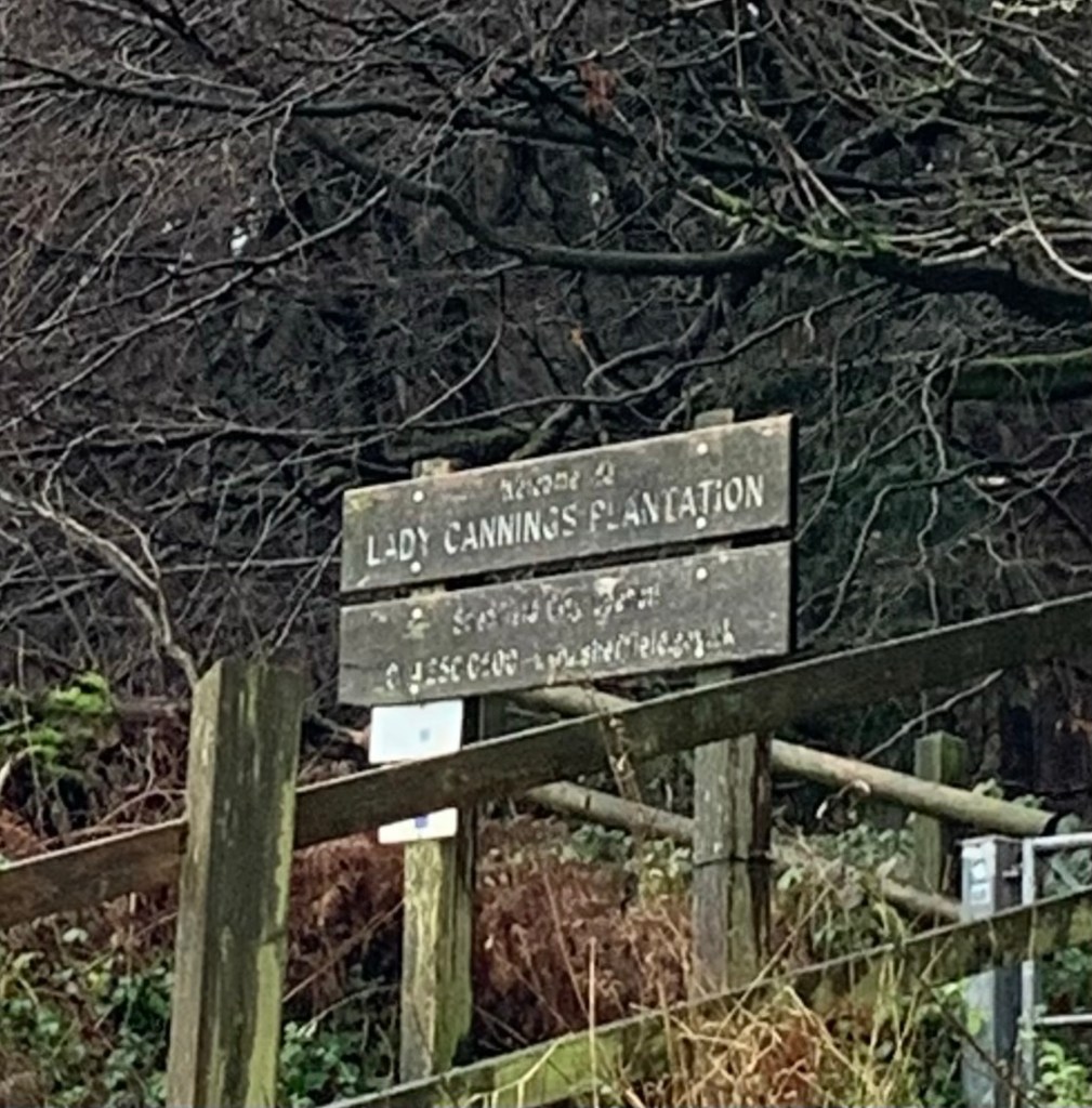
This is part of the mountain bike circuit known as Cooking on Gas which must have introduced thousands of people into mountain biking since it was set up in 2017. Its a great example of what can be done when different groups partner up ( Sheffield Council, Ride Sheffield and the Go Outdoors outdoor gear shop, for example) although, due to it’s popularity, it’s taken so much hammer since being established that there’s currently a big crowd funding initiative underway to try to get some major repairs done.
We keep on the main path that heads straight up through the plantation and pop out of the trees at the top where we notice the weather is beginning to pick up.
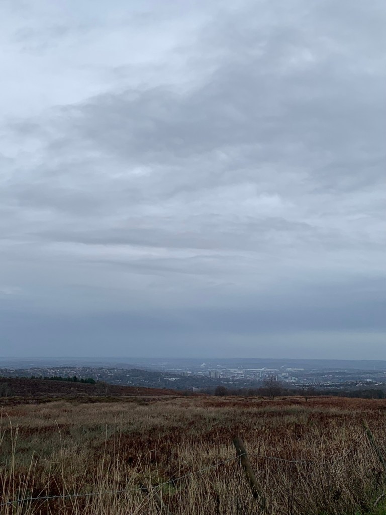
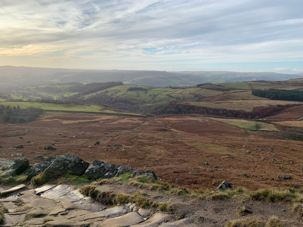
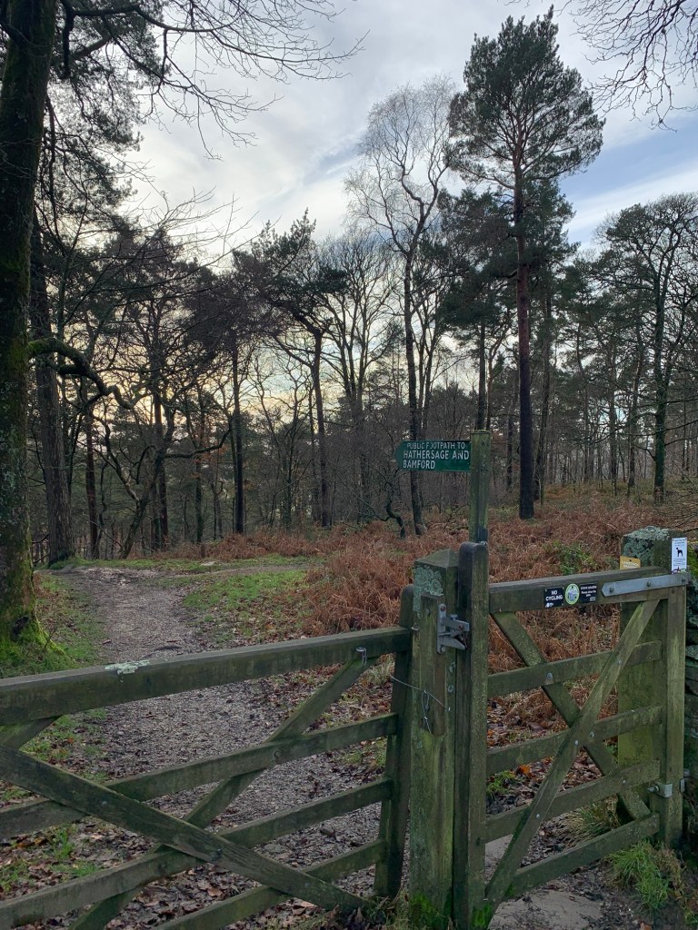
We head right along the track which meets the Ringinglow to Hathersage Road and cross straight over to continue along the open moorland path on the opposite side of the road.
We think the views of Sheffield from here are some of best there are and it’s great that today is now managing to give us some vistas after a wet and gloomy start, the haziness just adds to the effect.
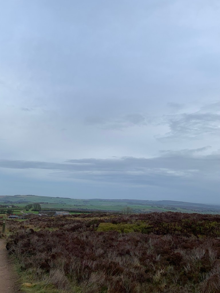
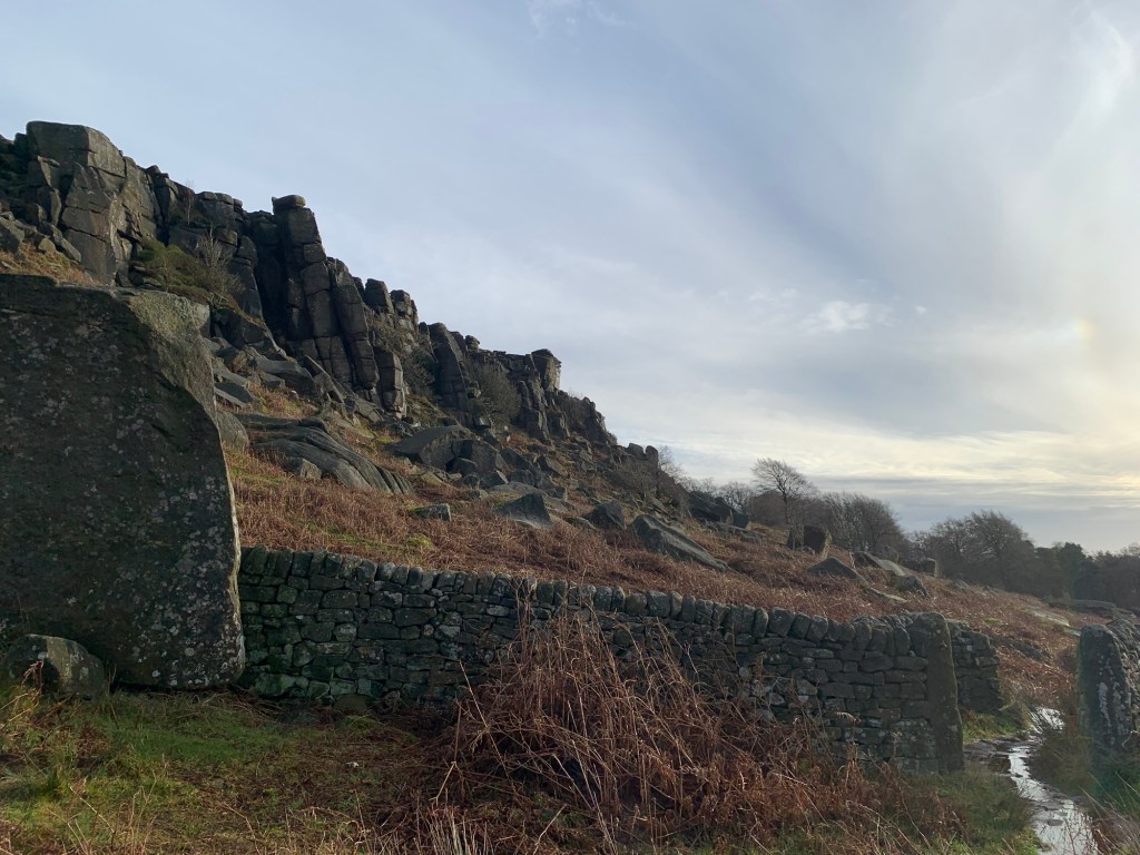
Ringinglow itself is a rather lumpy and bumpy affair ( the moor not the village) and this is mainly due to the remains of more mines and quarries although it’s thought there could be a bit more pre history thrown in for good measure.
The route finding just needs a little care as we keep straight on past the white posts
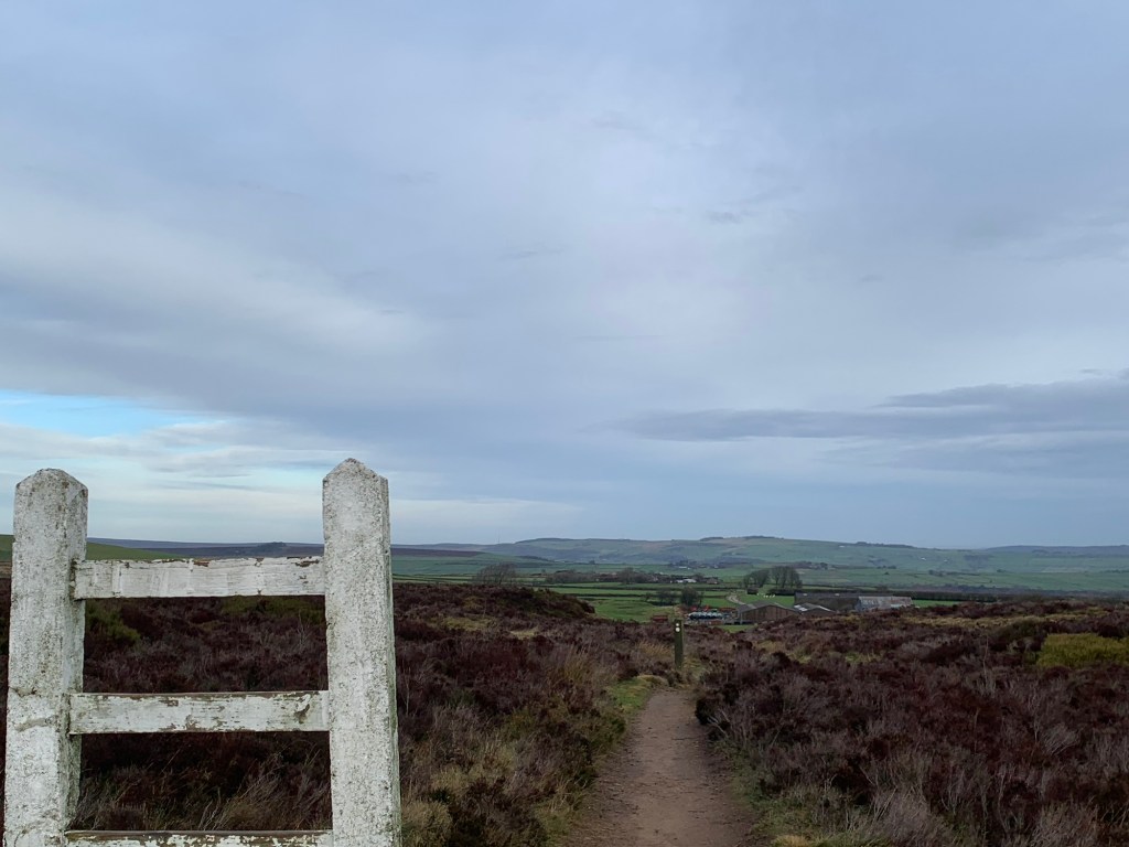
and then straight on again at the small footpath marker,
taking care not to not veer off to the right onto the other path.
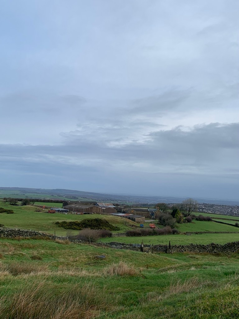
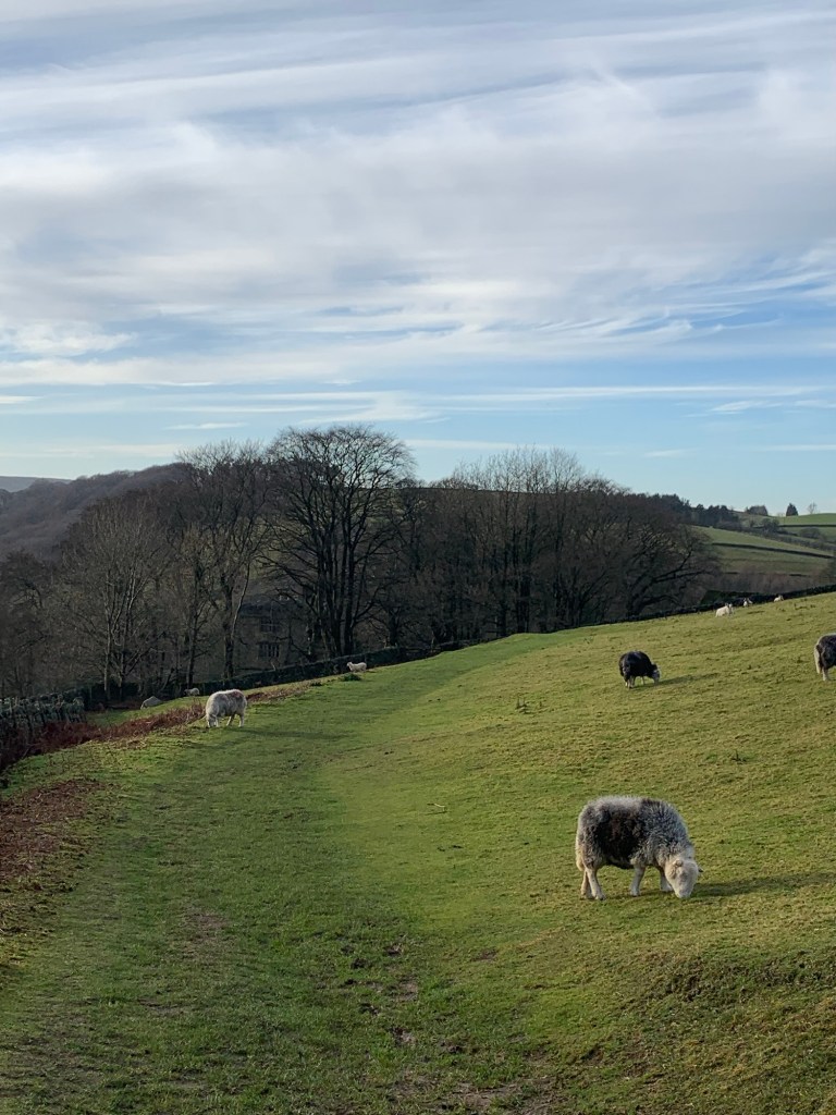
We head through some old quarries in a roundabout kind of way but keep our sights on Brown Edge Farm which can be clearly seen straight ahead. Once onto a grassier area it’s easy enough to spot the way over to the stile which leads onto the footpath through the farm.
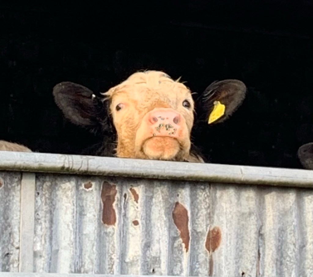
Heading through the next gate we just keep on through the main stock yard,
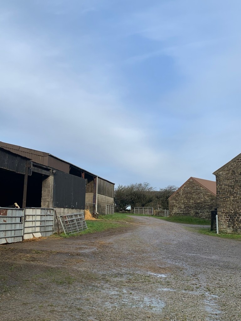
pausing to take a quick photo of an inquisitive cow,
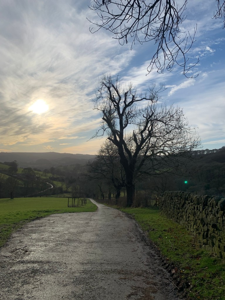
and then follow the driveway down to where it meets Fulwood Lane, enjoying yet more splendid views ahead.
We walk left along the lane and just as we pass Knoll Top Farm on our right we take the path signed off to the left, through yet more evidence of old industrial activity.
The path turns to the right and then meets a broader track which we cross at right angles and climb a stile to follow the path down the wall side to join Brown Hills Lane.
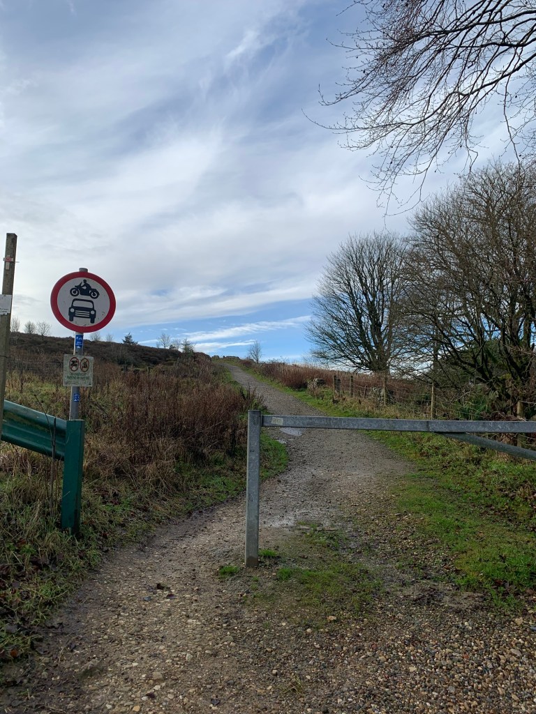
We head left along the lane for a few hundred metres and then keep straight on through the very obvious bright blue water board gate.
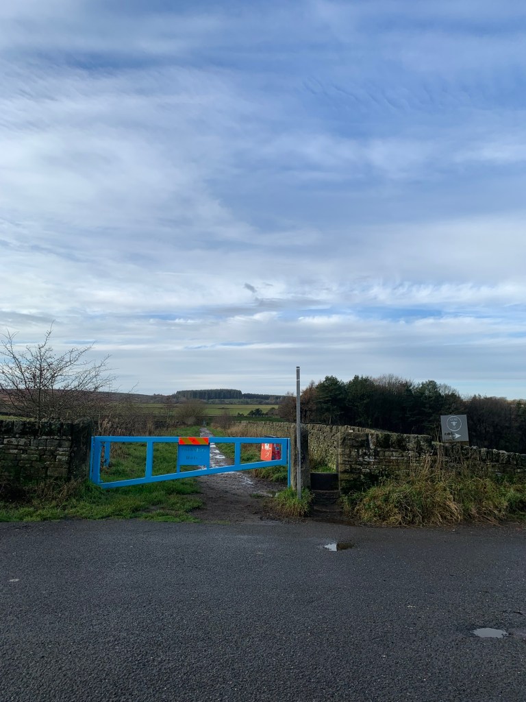
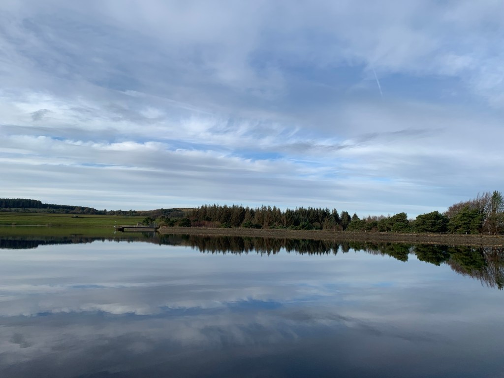
This path will lead us all the way around the three reservoirs that make up Redmires.
By now we can hardly believe our luck YET AGAIN with the weather and the combination of the sun and the stillness makes for some stunning reflections on the water.
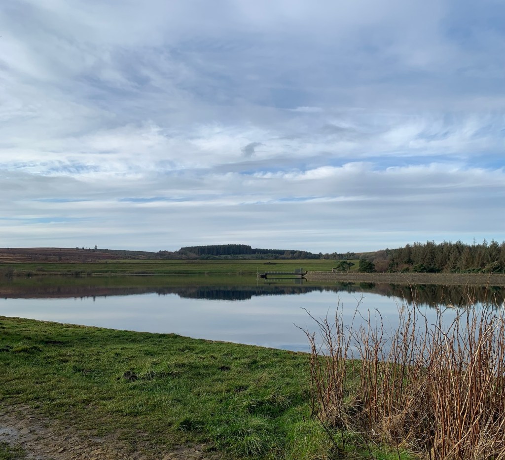
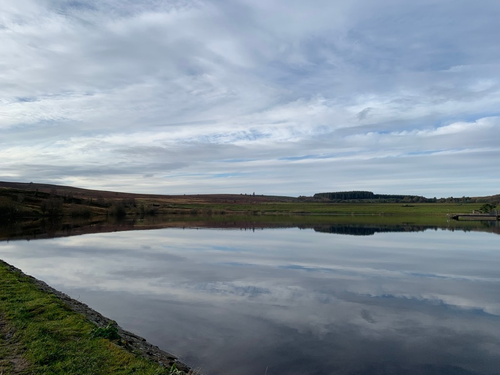
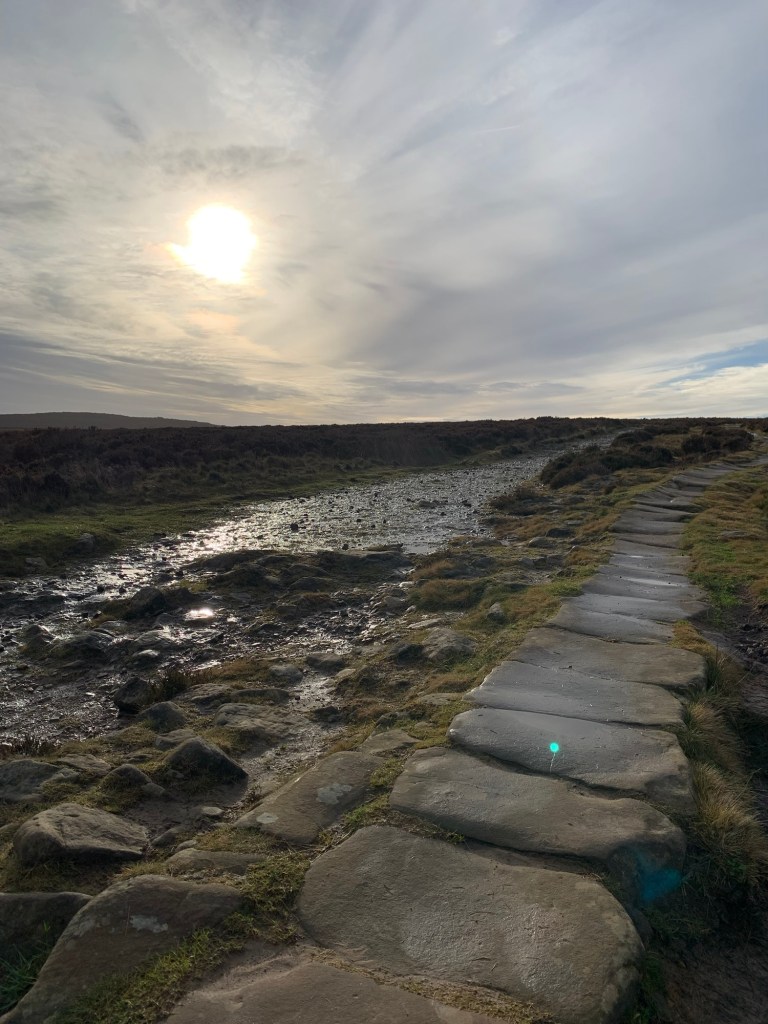
The path around the resrs is imprinted on my memory as a wet and boggy one but, probably because I’ve been avoiding it for a while on this basis, I’m in for a very pleasant surprise with several stretches of stone flagging making life a lot easier than it used to be.
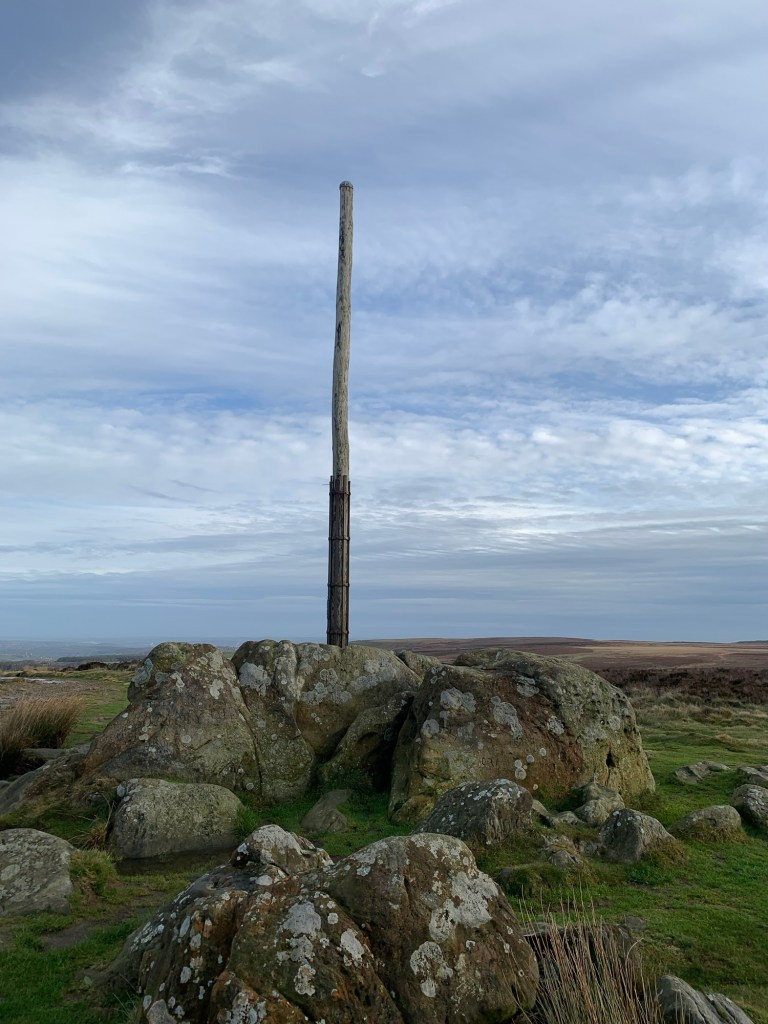
We’re soon at the bottom of the track that will take us up to Stanage Pole
and as I notice some more stone flags, this time of the very old variety, I recall a book I read about The Long Causeway, which attempts to trace the origins of this path as an old pack horse route all the way out from Sheffield town centre to Hathersage.
There’s a disputed theory that this is also the course of a much older Roman route way which might have led from Templeborough ( Rotherham) to Navio ( Brough), either way, we’re definitely not the first people to have walked up here.
And, if it’s views you’re after the 360 degree panorama from the pole takes some beating.
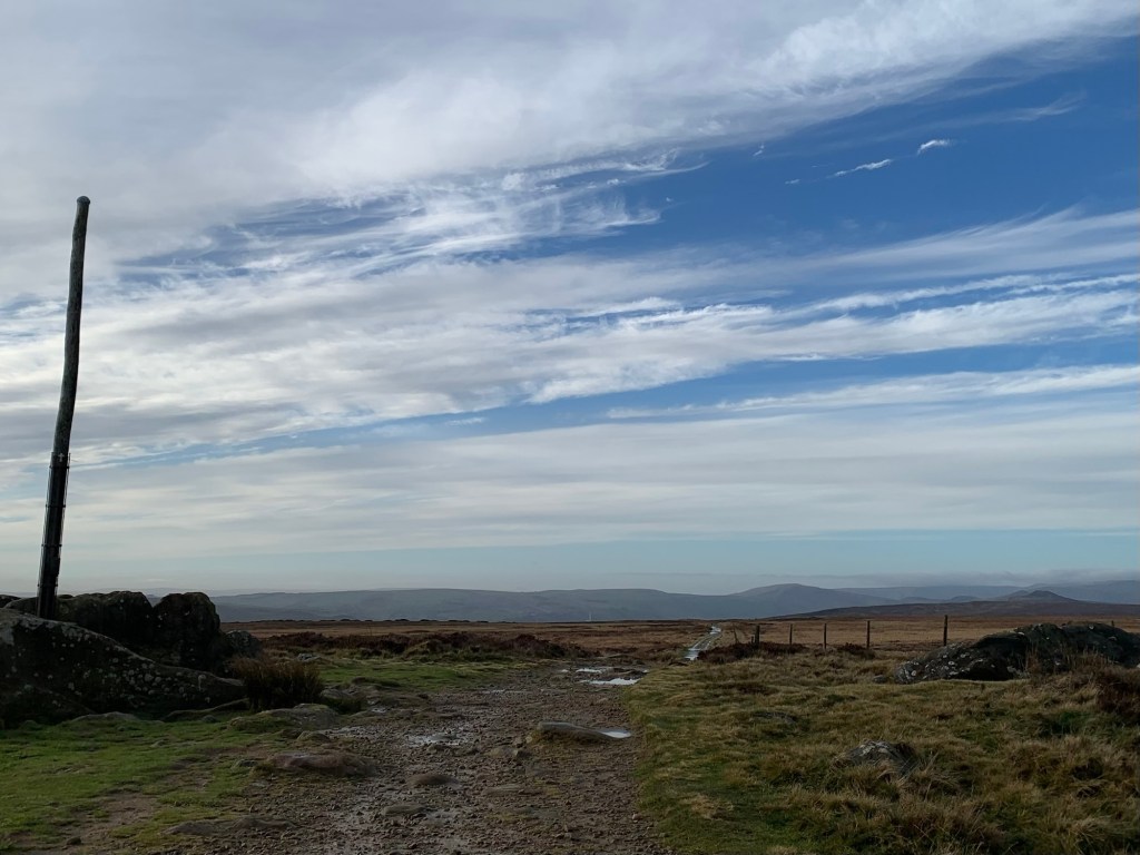
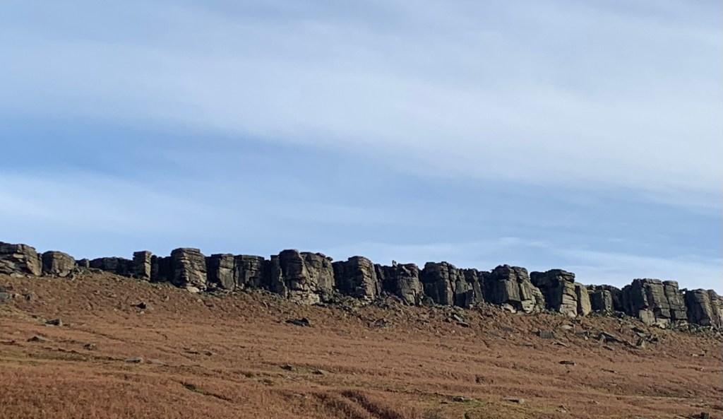
Once past the pole we only continue a little further along the Causeway because we need to drop down to the left below the Edge and onto the path through Stanage plantation.
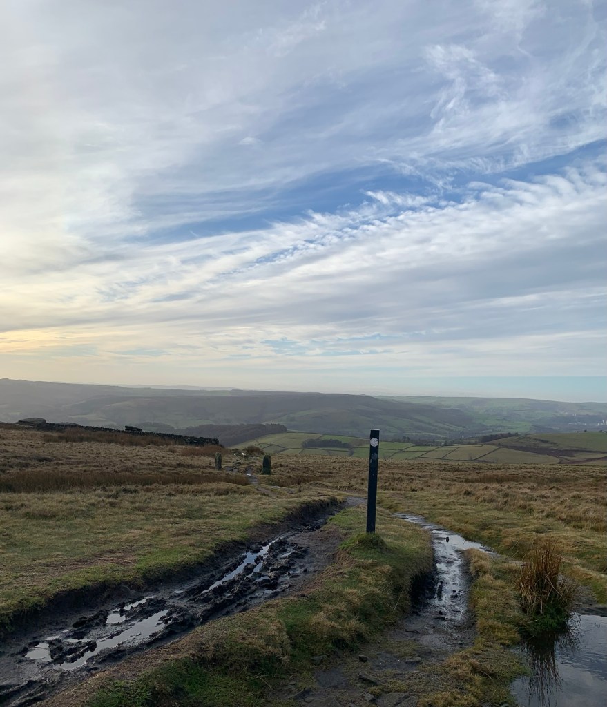
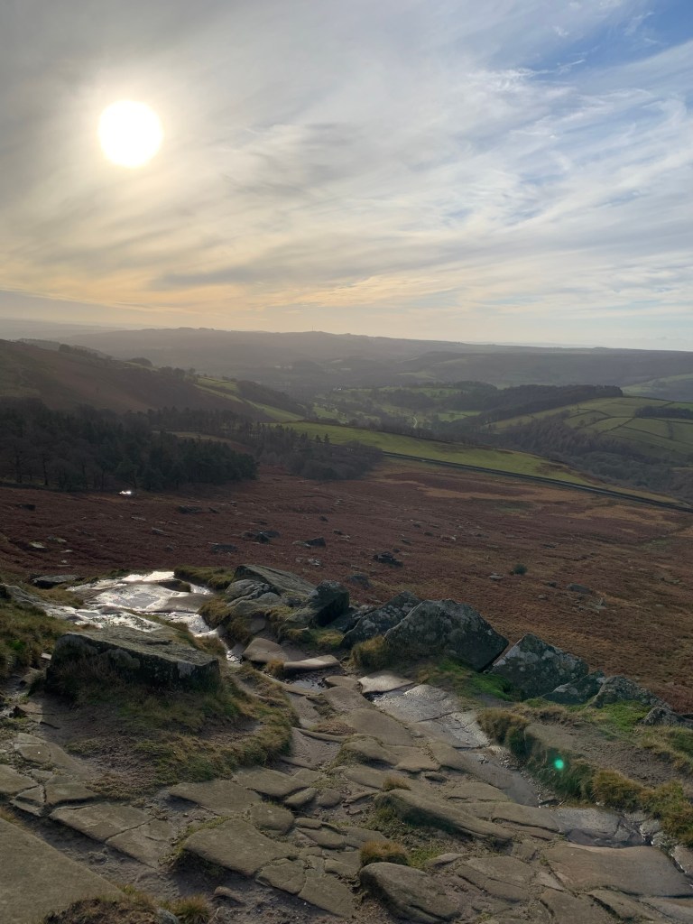
Besides offering spectacular views back up to the rocks this also emerges conveniently next to a toilet block.
The path continues through the woods below the toilets
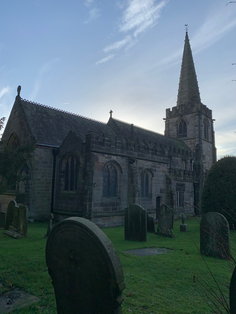
and hey presto, here we are at today’s N; North Lees Hall.
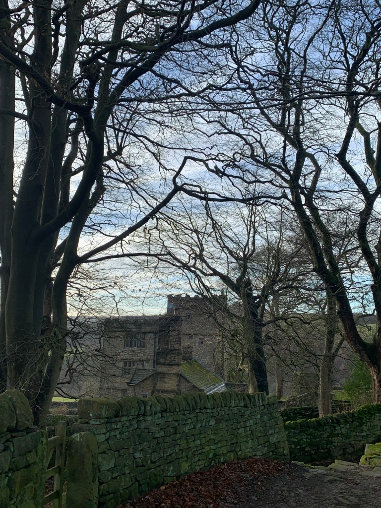
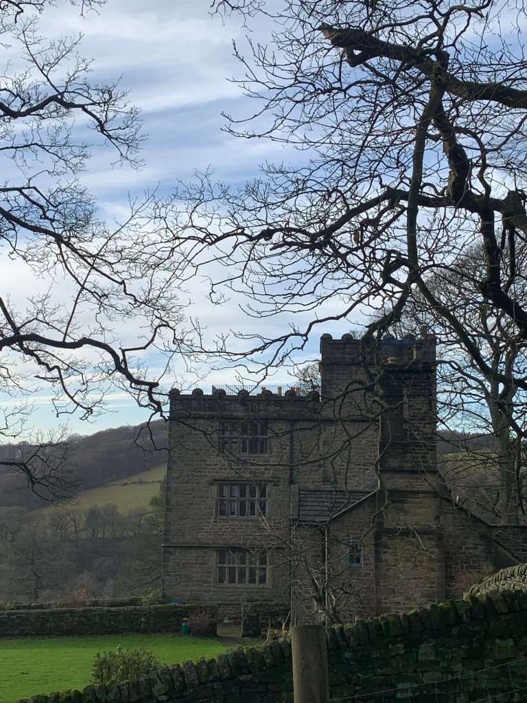
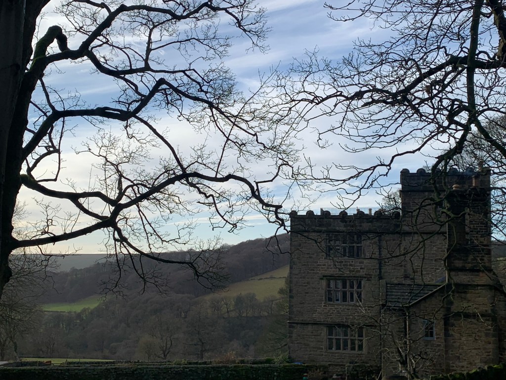
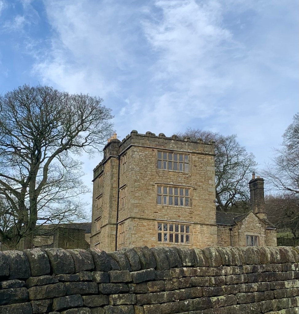
What an amazing building…we have to confess to being nuts about the Brontës so it’s off to a good start as the inspiration for Rochester’s house in Jane Eyre.
Now owned and rented out by English Heritage I was once lucky enough to visit here on an English Heritage open day and even got to pace back and forth across the roof re-imagining the epic of the fire and Bertha’s death.
But there’s a load more history to this place and its location surely makes it a striking building to visit whatever your interests.
We’re very happy to have chosen it as our N.
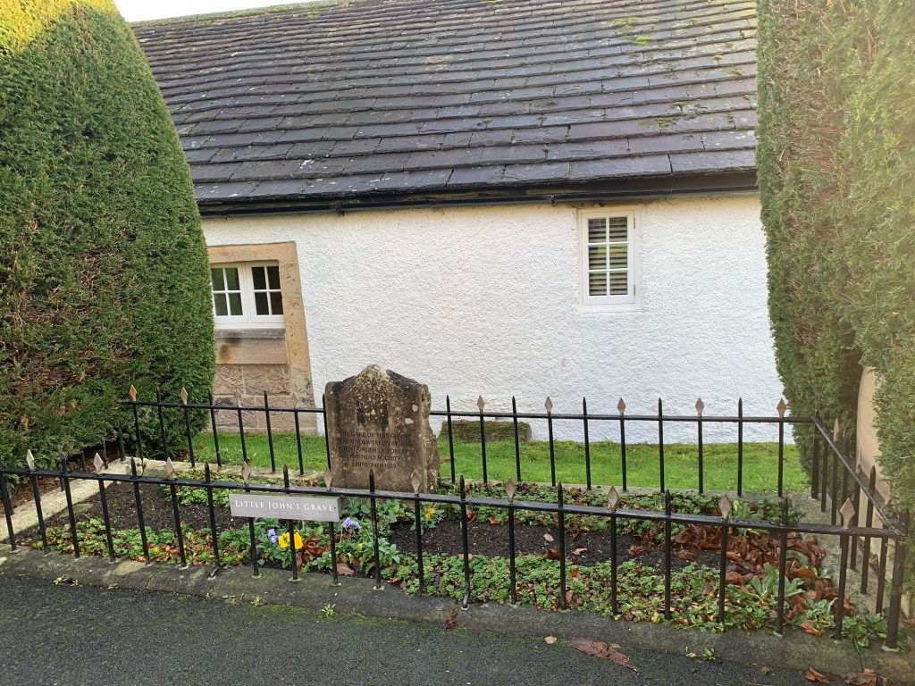
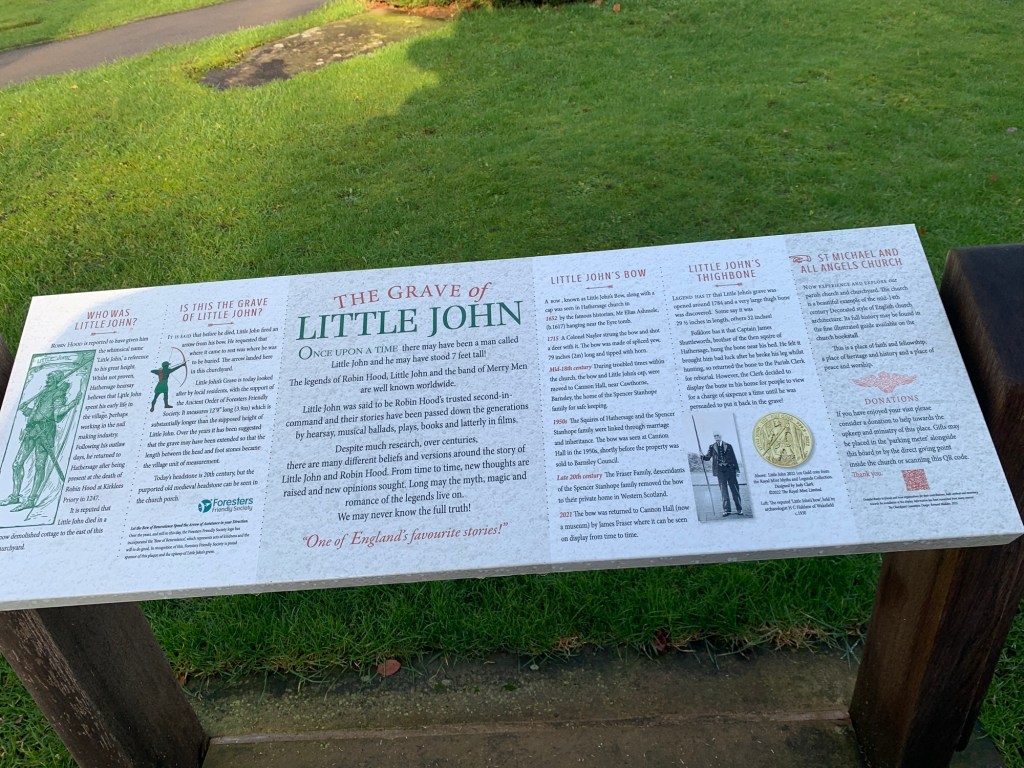
The fun’s not all over yet though as we continue on our way towards Hathersage via the footpath at the bottom of the drive to North Lees , around the back of Cowclose Farm and finishing with a climb up to Hathersage church ( up a steep bank that’s part of an ancient Norman earthwork known as Camp Green) and featuring a passing visit to Little John’s Grave before we head to the Pool Cafe for our refreshment.
we are returning to Sheffield by train but buses are another possibility with the 272 heading into town via Fox House or the 257 which heads into the city along the Manchester Road.
We have thoroughly enjoyed this walk and heartily recommend it to you all.
Transport
81, 272, 65 or 218 from Sheffield to Park Head
Train, 272 or 257 from Hathersage to Sheffield
Pubs/Cafes
Rising Sun
Whirlow Hall Farm cafe
Norfolk Arms
Pool Cafe Hathersage
How far?
Around 20k
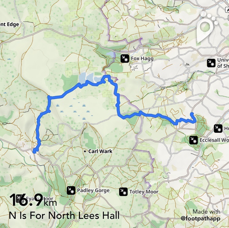
Route Synopsis
Park Head, Whirlow, Ringinglow, Redmires Reservoirs, Stanage Pole, North Lees Hall and Hathersage
Dogs?
Yes….we saw lots of them today!
Map
OS Dark Peak
https://footpathapp.com/routes/F1D0987F-C172-44D0-BAC1-07DD71D5EB72?units=metric

Leave a comment