Slithering our way along icy Sheffield pavements to reach the bus stop it seemed a madcap idea to be heading out to the Peak at all today but actually, once the 272 reached the Hope Valley we could see the paths were clear and the plan to head for Castleton started to seem like a good one after all.
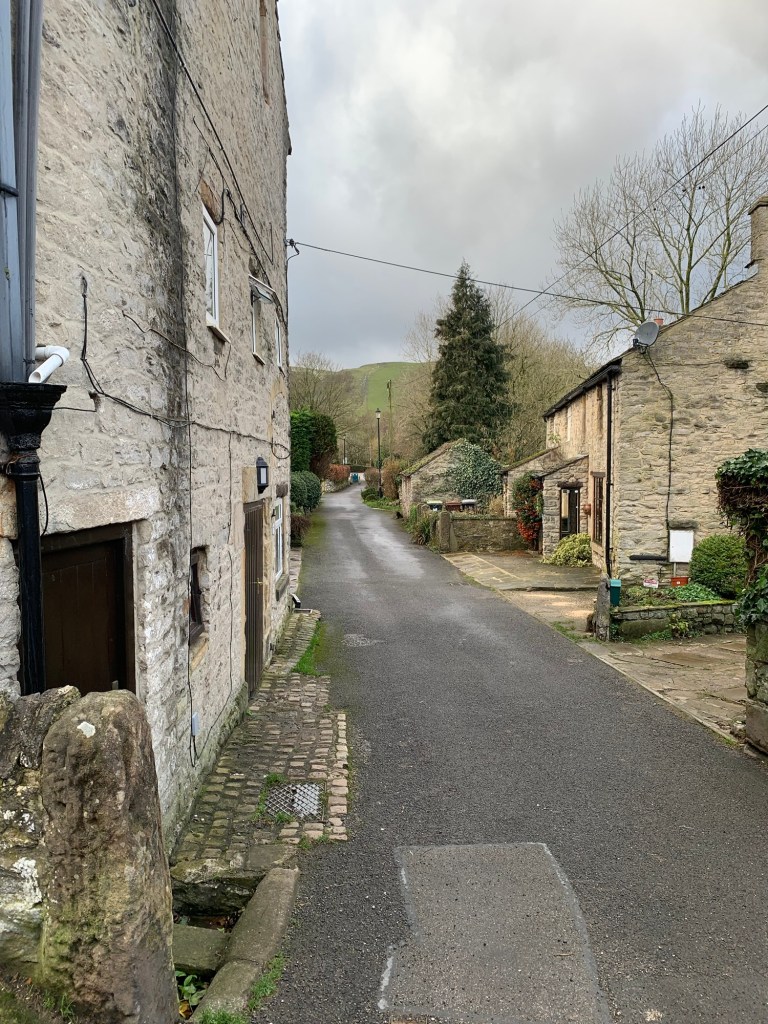
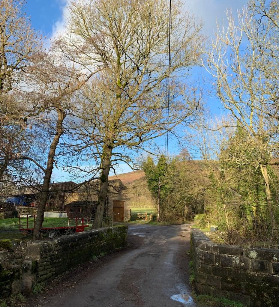
After alighting from the nice warm bus at Castleton bus station we continue straight ahead to the corner of How Lane and then briefly take a right along Millbridge before turning left along the lane which cuts through to the back of the big car park.
We pass some cold looking ducks swimming on the stream known as Peakshole Water which flows down from Peak Cavern.

At the other side of the car park another stream, Odin Sitch, which is no less than the “O”of today’s walk, joins with Peakshole Water. But of course there’s more to our plan than a mere 500 metres walk between the bus and the car park….read on for more details of what turns out to be an easy but perfect winter walk, sheltered, not too muddy and almost ice-free.
We head past the information centre and turn right out of the car park along the road which leads towards the Winnats Pass.
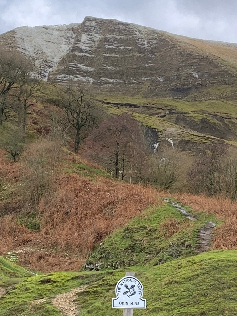
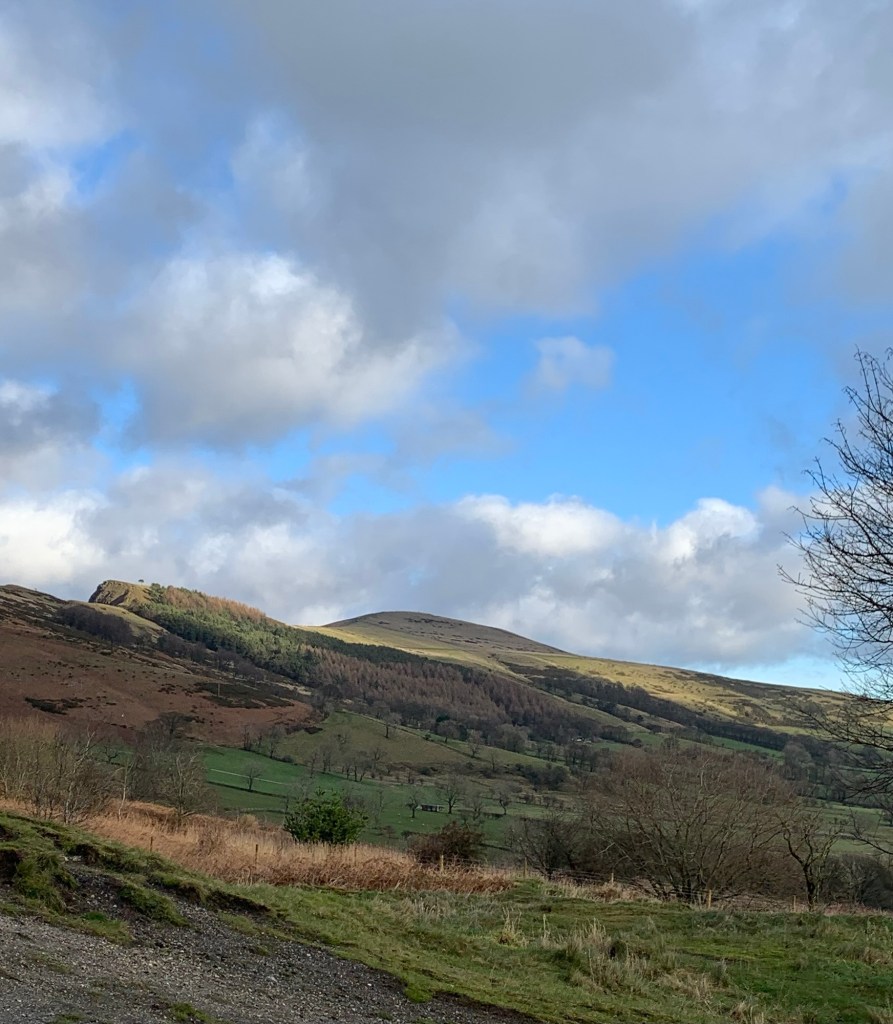
The castle ruins are always imposing but seem to be looking particularly bleak and inhospitable today.

Where the motor road now turns left to head up the pass, we continue right along the old road which used to be the main route to Chapel-en-le-Frith before a great chunk of Mam Tor fell away and took the road with it.
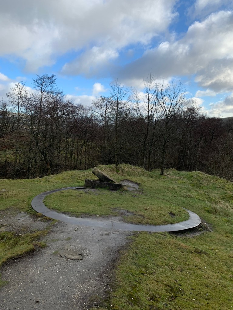
Nowadays the tarmac road leads to Treak Cliff Cavern and then beyond here reaches a turning circle which is the end of the road for motor vehicles.
It’s a bit of a van-life haven along here at times although there’s not much evidence of that today; maybe it’s too cold?
A National Trust sign on the left of the road marks the way over to Odin Mine but the only way we’d get through the gate today would be to paddle through an enormous puddle. We don’t fancy cold, wet feet for the remainder of the walk so unfortunately we decide to give it a miss. Not that we were planning anything like a bone fide caving expedition, but we had been looking forward to having a nosy in the cave and the gorge.
We will have to come back in the summer.
Odin Mine has the claim to fame of being one of the oldest and longest worked lead mines in the country. It’s thought the Romans mined here for lead and there are written records reaching back to the 13th century.
In fact, you could say that for anyone who’s interested there’s an absolute “mine” of information available. (Sorry!)
The following links seemed particularly interesting:
https://www.themodernantiquarian.com/site/2895/odin-mine
https://castletonhistorical.co.uk/wp-content/uploads/2016/10/the-odin-mine.pdf
https://pdmhs.co.uk/MiningHistory/Bulletin%206-4%20-%20Odin%20Mine,%20Castleton,%20Derbyshire.pdf
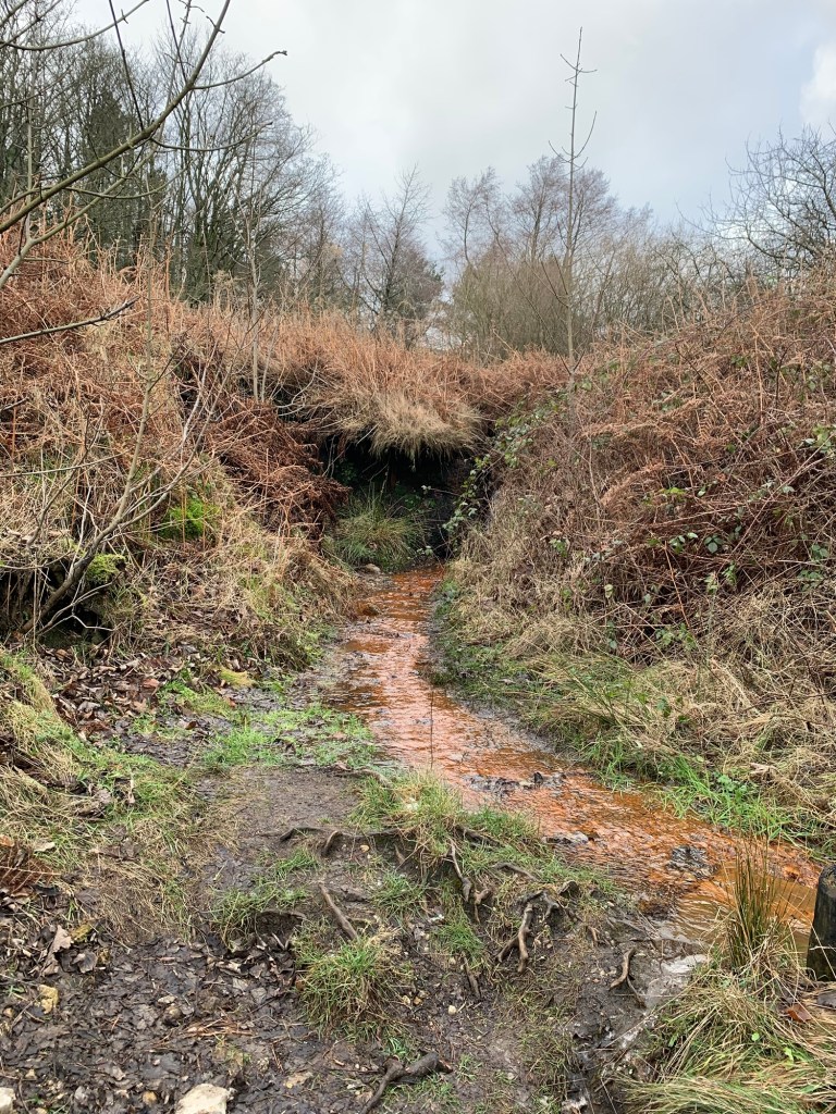
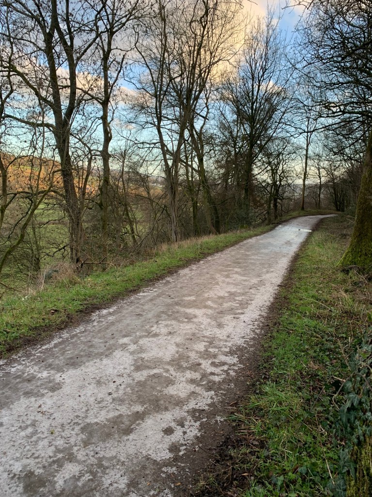
On the opposite side of the road to the mine there’s the footpath we’ll be following along Odin Sitch down the valley.
First we pass the remains of the crushing wheel, where the ore was crushed and all around us its clear to see the unnatural shapes of overgrown slag heaps.
A Sitch is a local name for a small stream. Apparently its roots come from the Old Norse language and maybe this chimes in with the use of Odin too as he was a Norse god? Or, as one of the articles on the mine mentions, another possibility is that Odin was Owd Den ( or old Dane) ….. I guess we’ll never know but I have to admit that we chose Odin Sitch for our O purely on the basis of it being such a great sounding name, whatever it means.
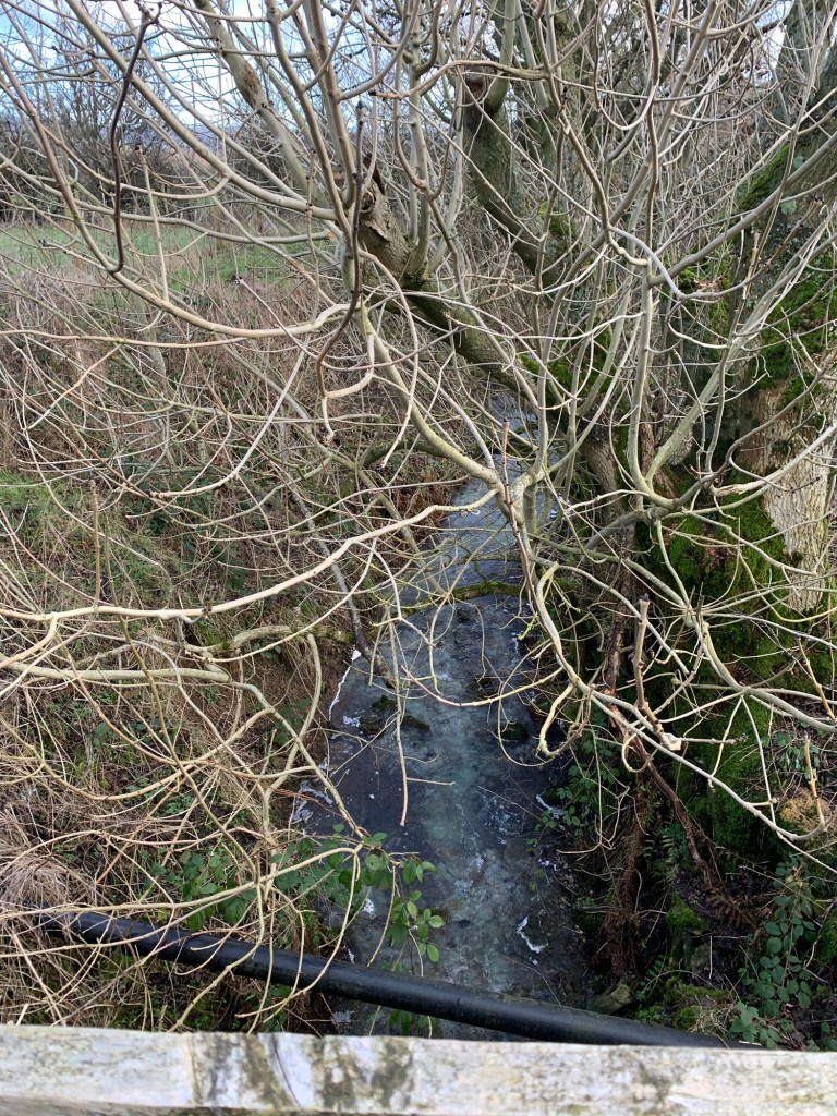
As we descend to the footbridge over the Sitch it’s initially a little underwhelming and we think perhaps the name’s the best bit? But even if it’s not a raging torrent it makes up for it by being a bright orange colour. This is thanks to iron sulfides in the waste from the old mine reacting with water and oxygen and forming iron oxide. It reminds us of a similar orange stream in Ecclesall Woods which I’m sure many of you ( especially owners of dogs who like a paddle) are familiar with.
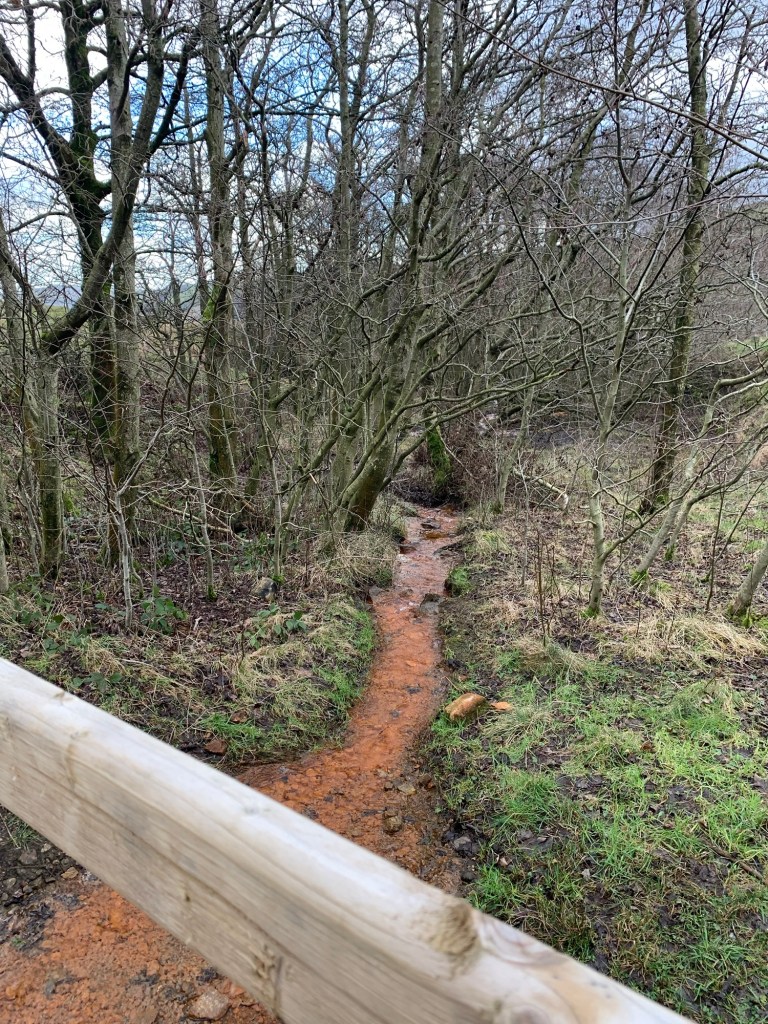
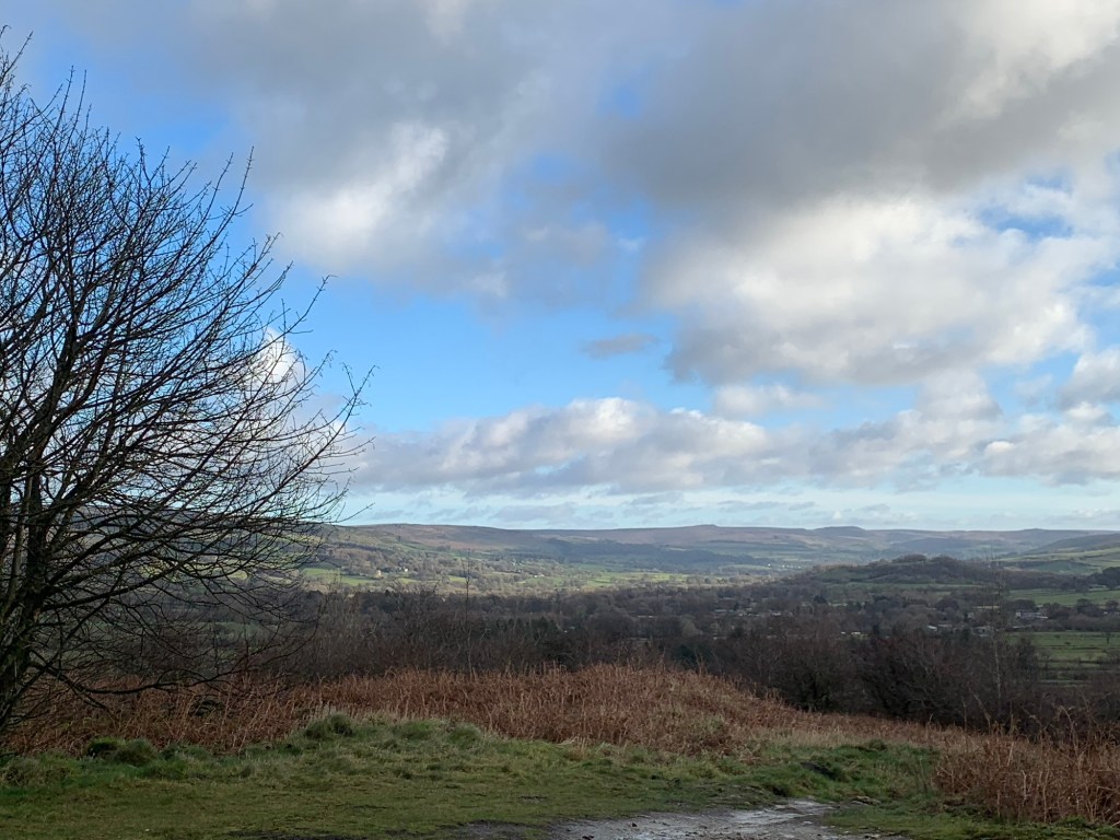
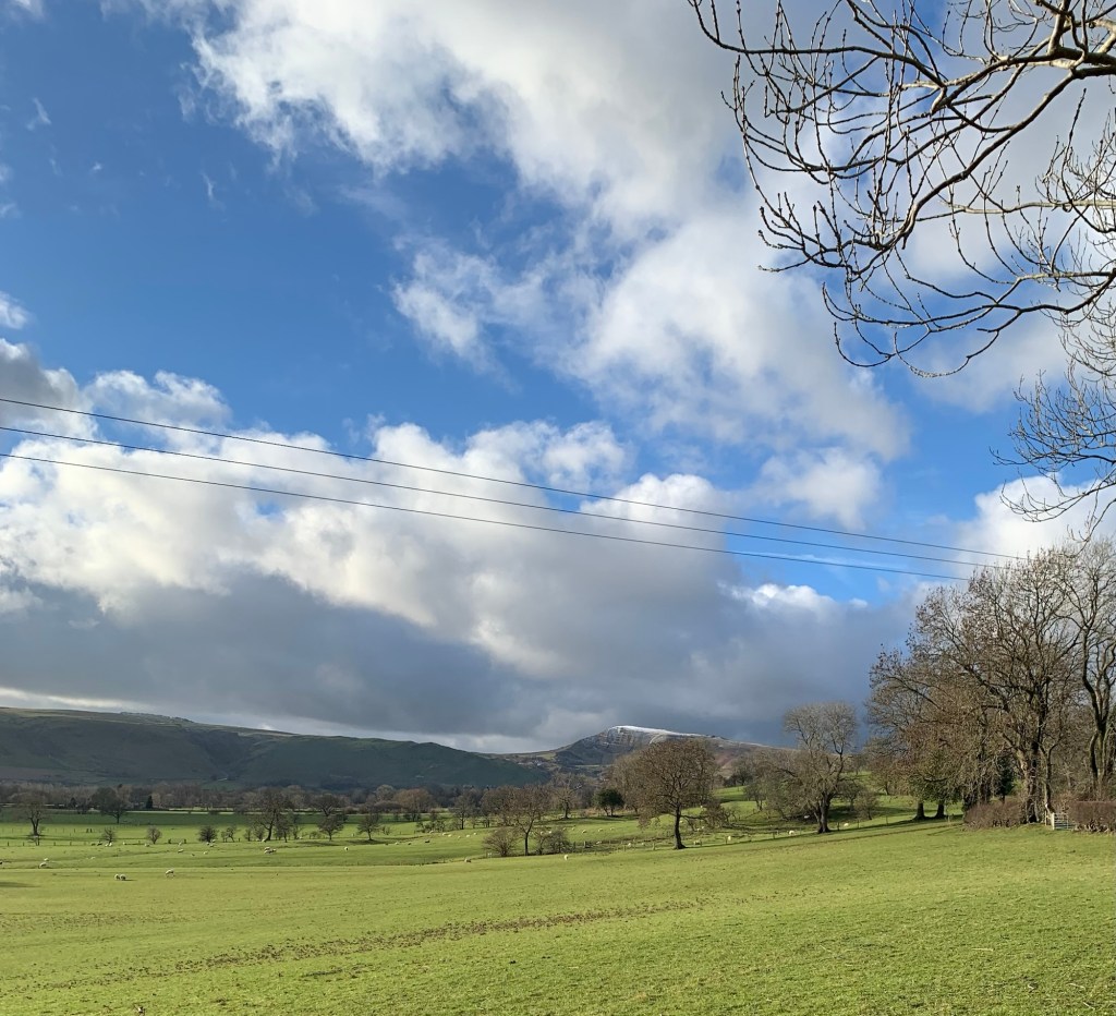
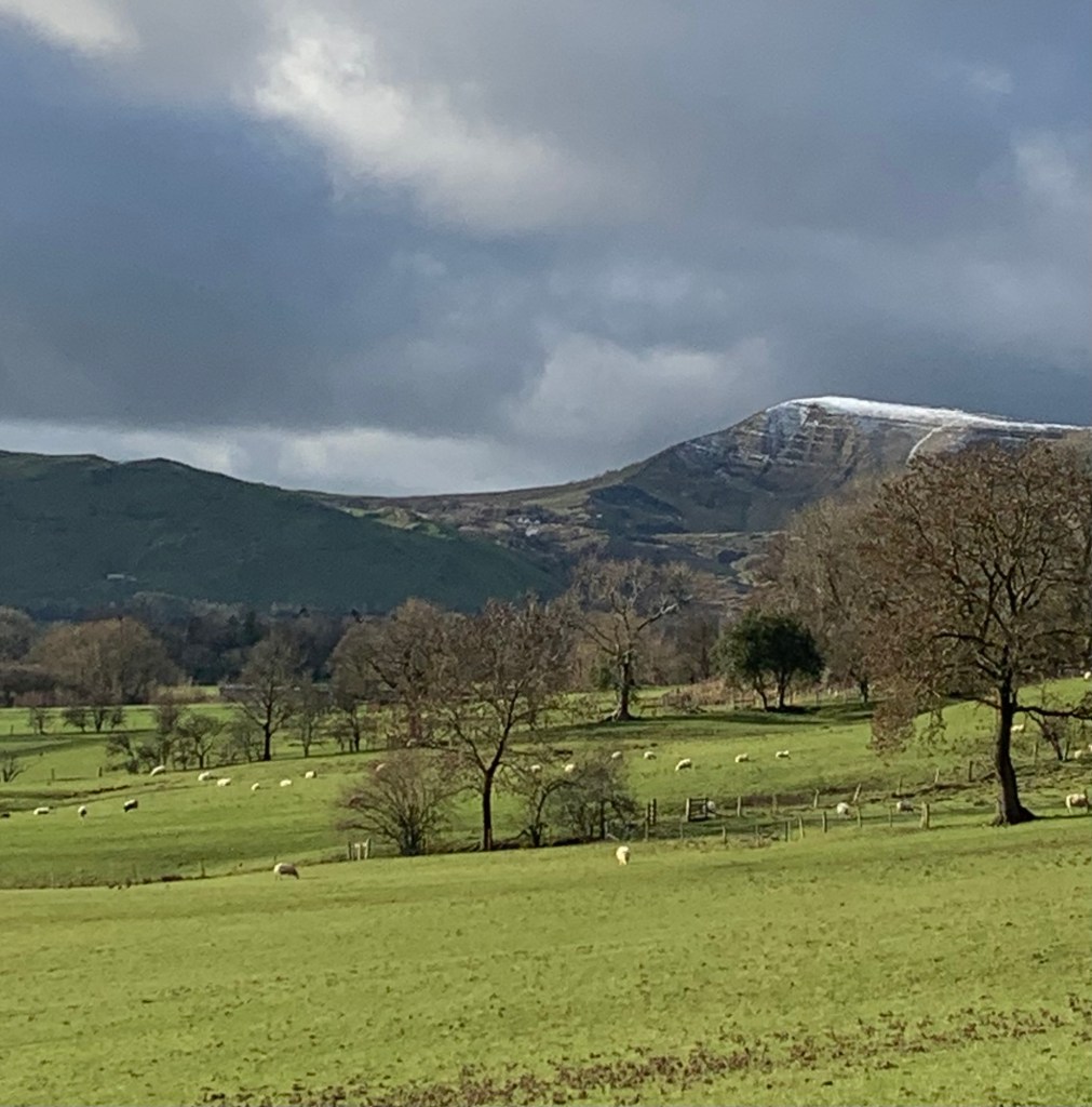
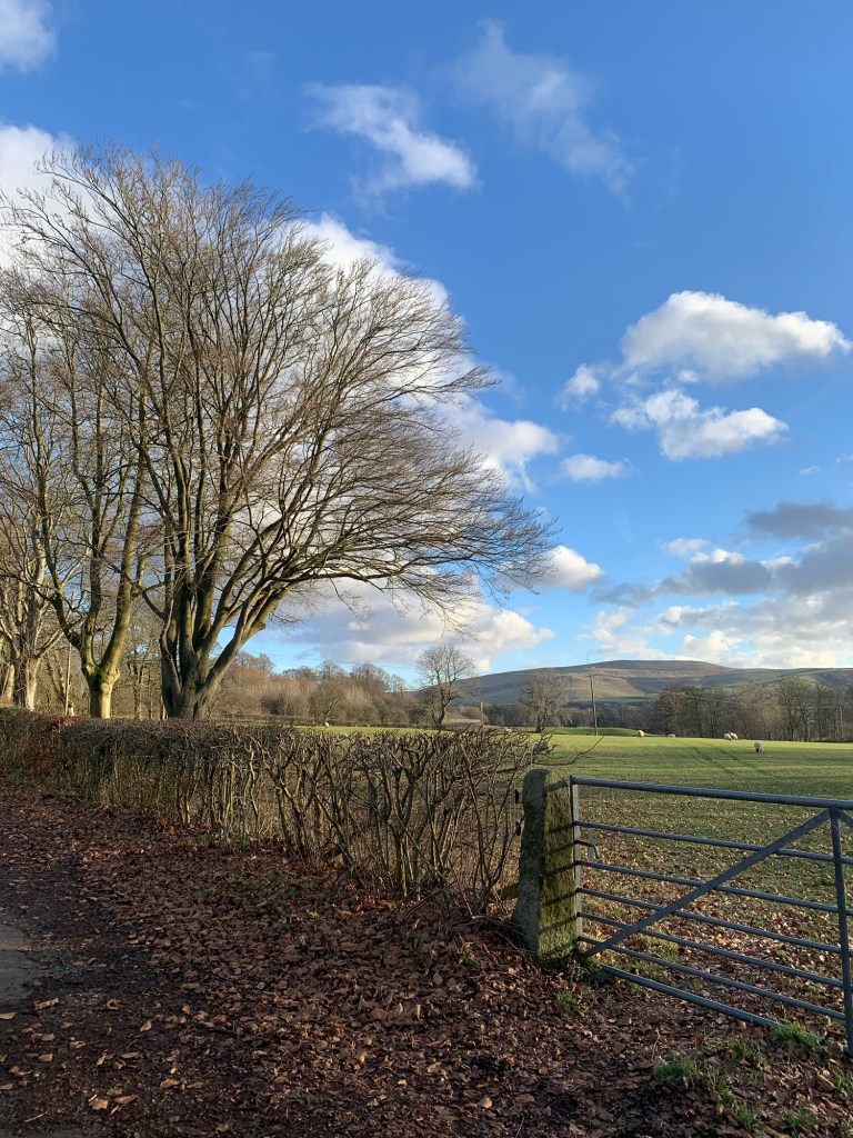
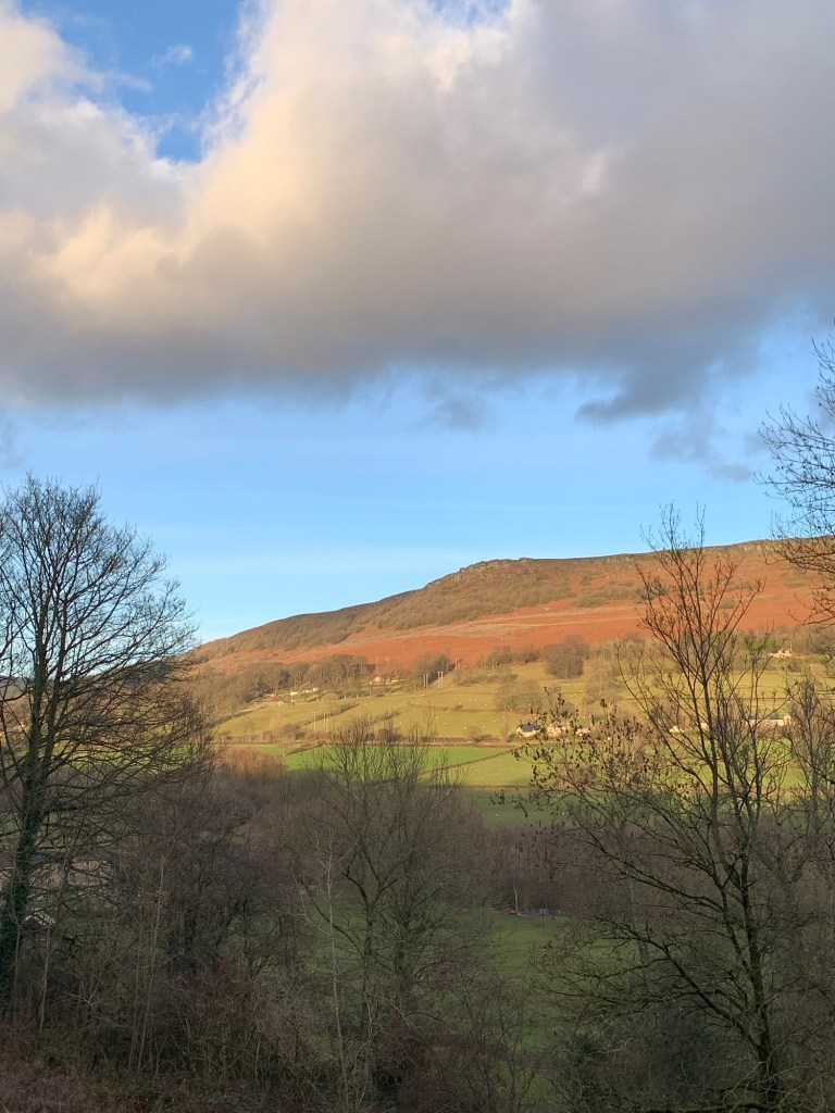
The path is excellent as it winds through mounds of overgrown mining debris and we have already spectacular views down the Hope Valley.
It’s possible to follow the Sitch, which incidentally is now crystal clear and a little more substantial, all the way back into Castleton but, since we’ve already walked through the village once today, we choose to turn left instead over the stream.
We’re following the path signed towards Dirty Lane which loops around the village to join Hollowford Road. Here we turn left before forking right at the outdoor activity centre onto Robinlands Lane and continuing, onto the footpath.
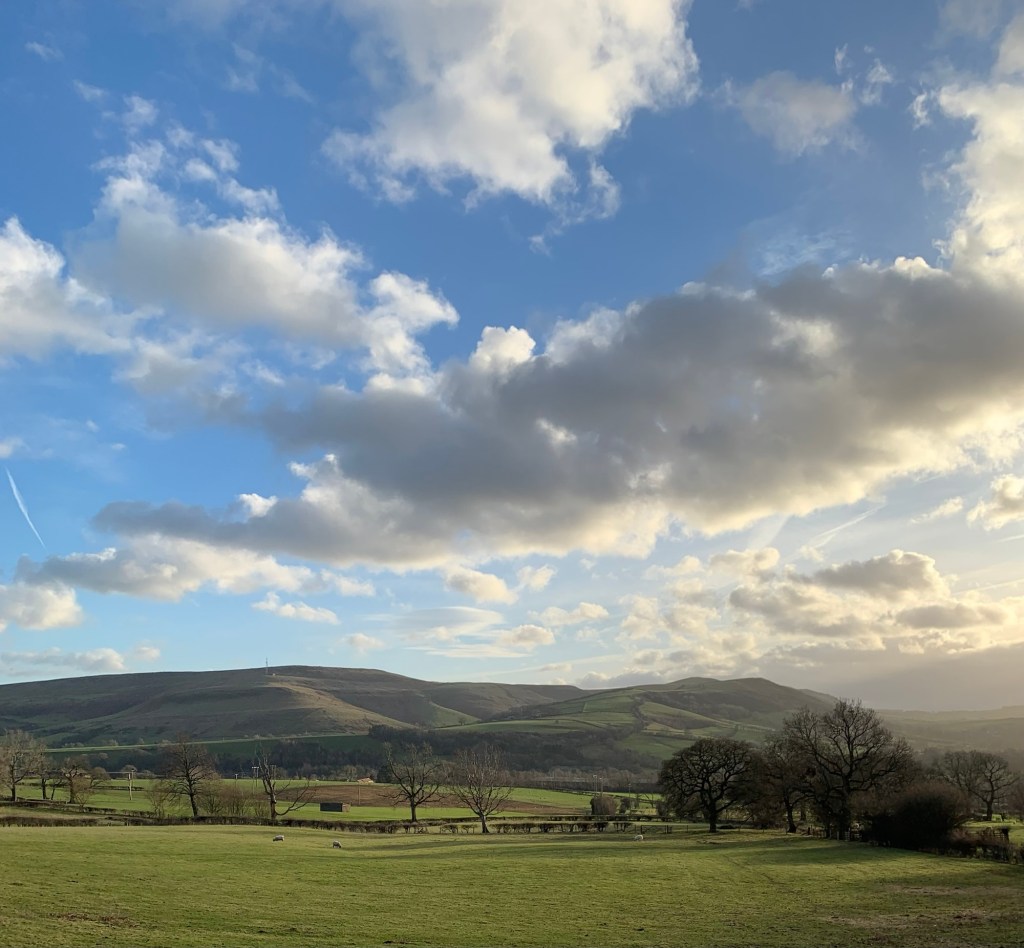
This is one of my favourite paths along the Hope Valley and it does not disappoint today. We are surrounded by fabulous views and with such a dramatic sky and lighting, even the same view is changing constantly.
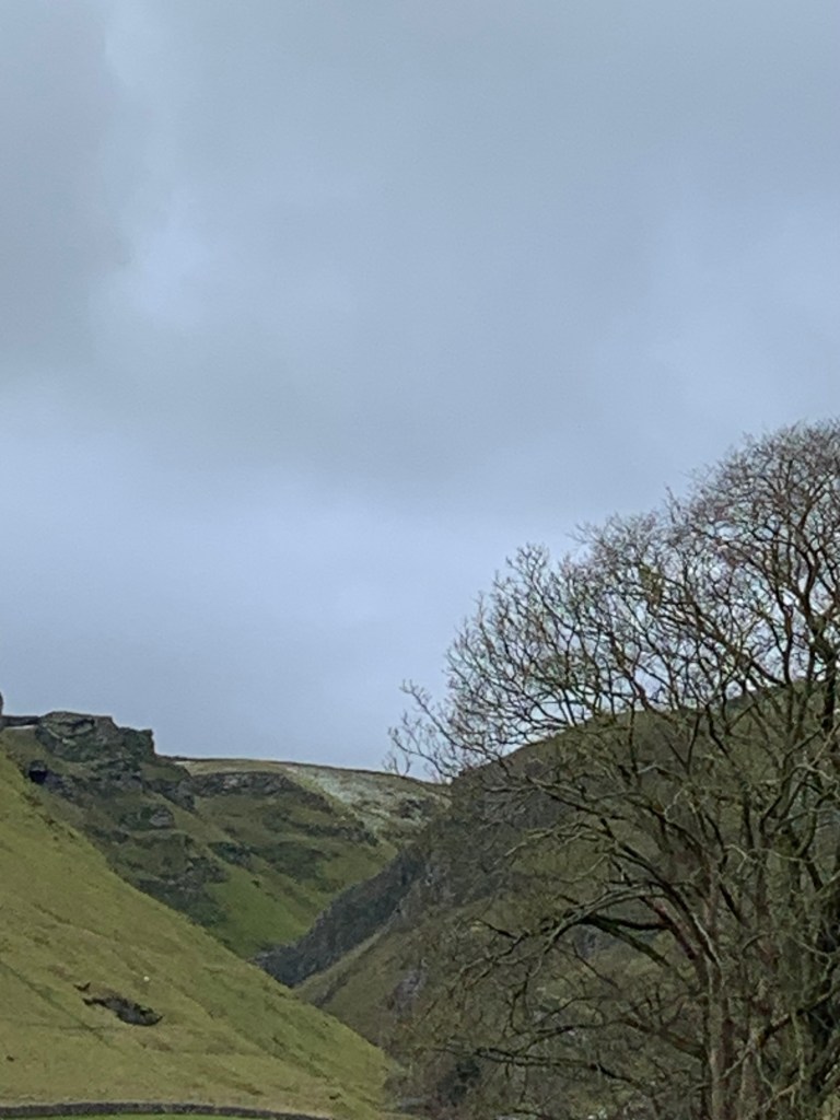
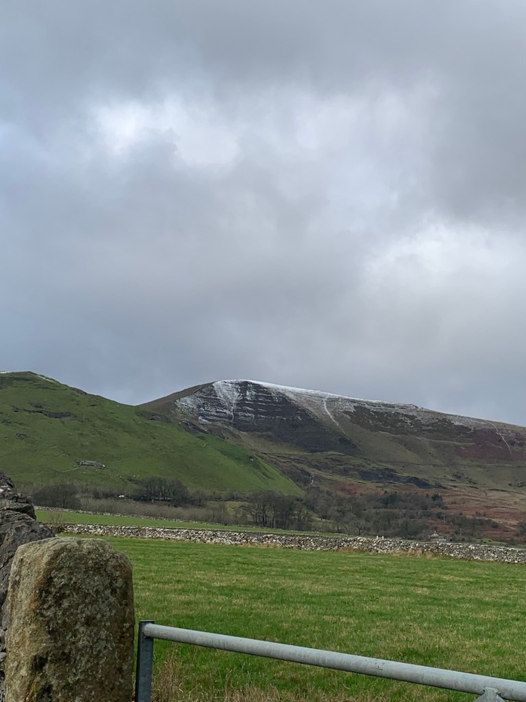
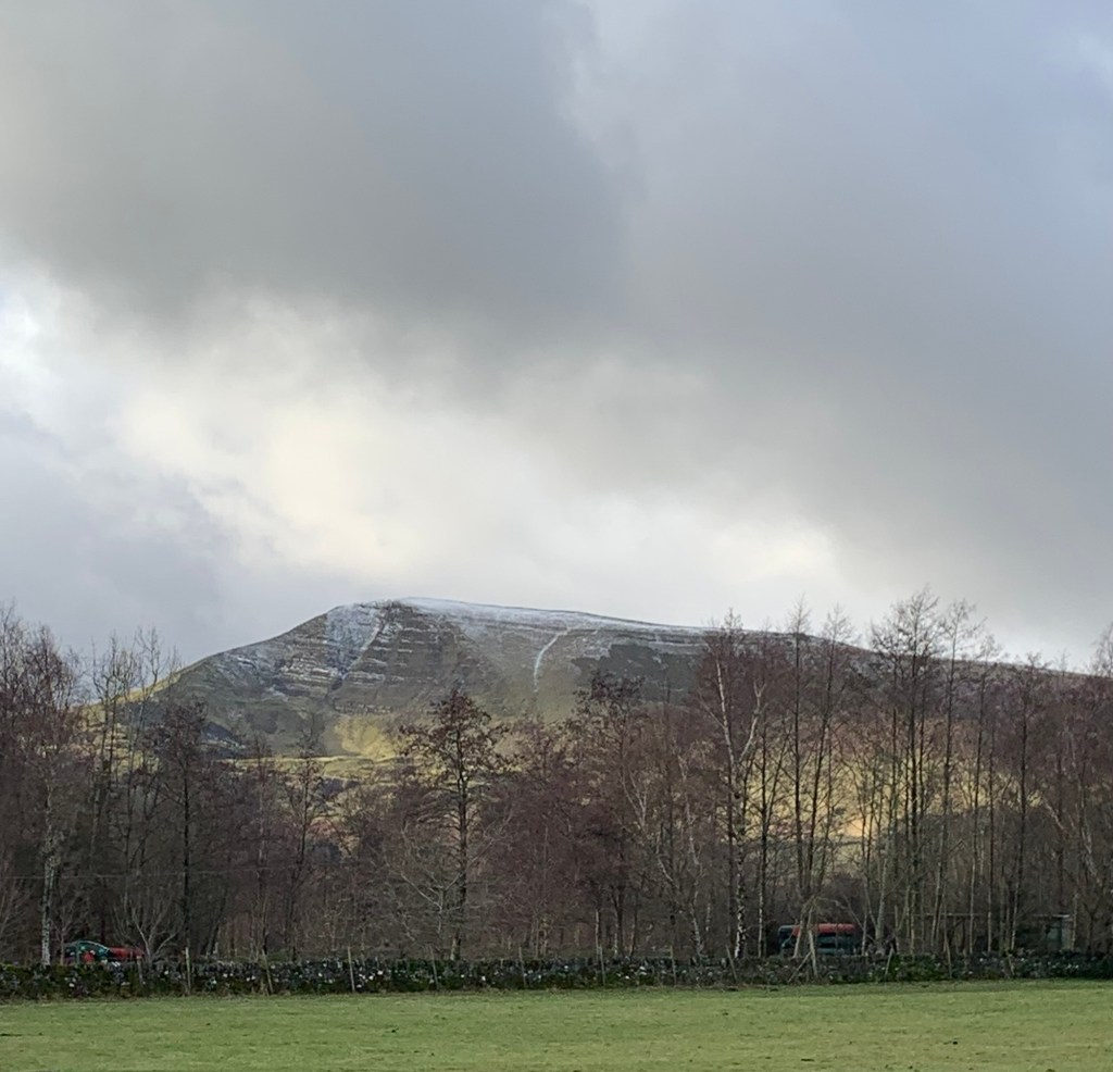
We have to keep stopping to look back at Mam Tor with its little cap of snow and every time we look it’s different. And now I’m ending up with a huge string of Mam Tor photos to edit…. but none of them can come anywhere close to being here; get your boots on and get on the 272 and come and see for yourself!
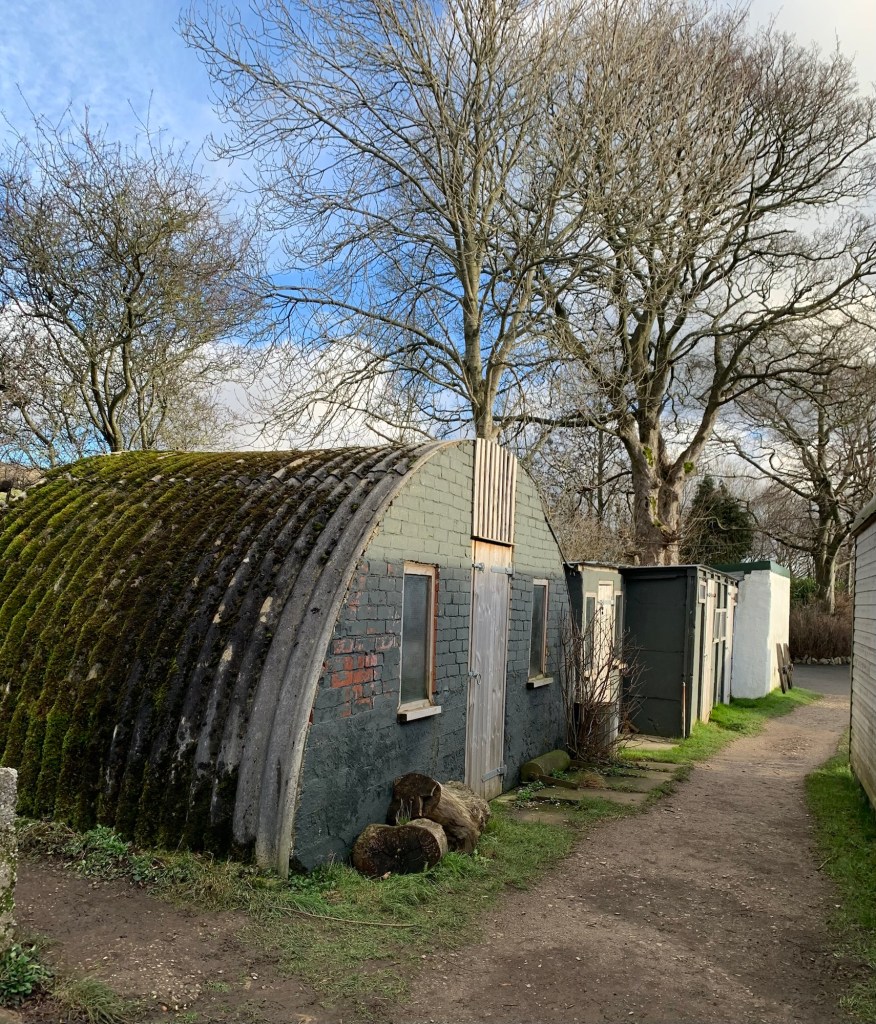
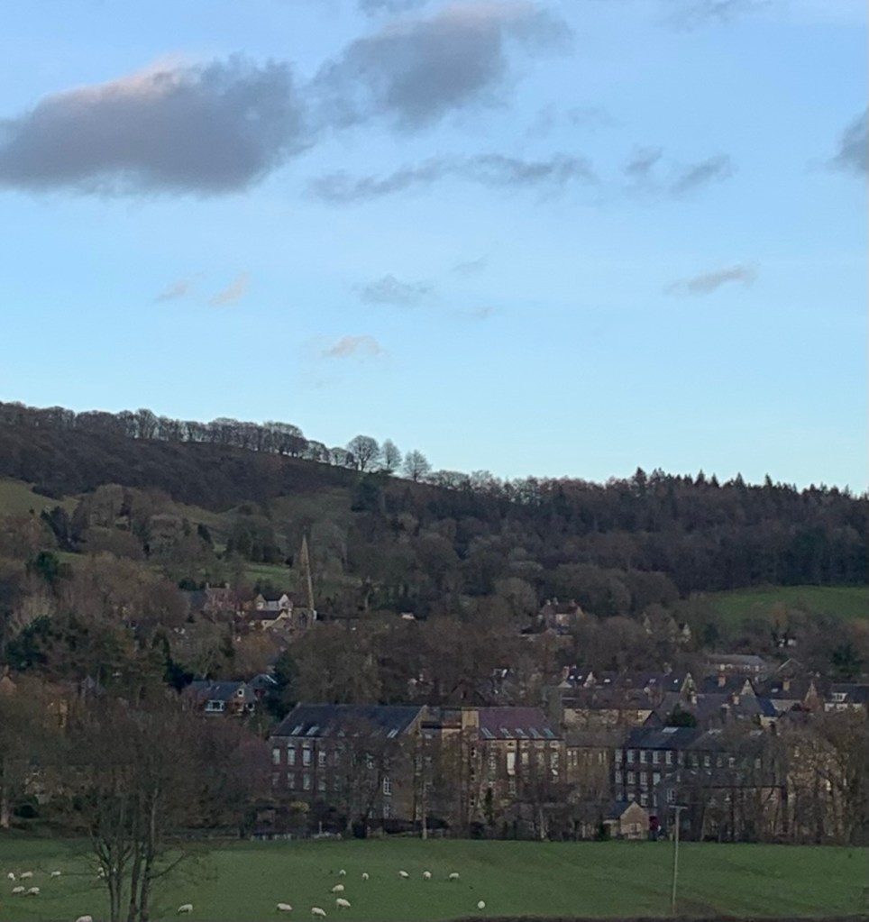
The path takes us on to Hope via some characterful outbuildings and over the railway.
As we emerge onto the Edale Road we have to choose between left to the Cheshire Cheese or right to the Adventure Cafe. The cafe wins and we actually demolish two pots of tea here amongst other refreshments.
After feeding our faces and slaking our thirst we retrace our steps along Edale Road to where Bowden Lane forks right and crosses over the River Noe.
After this we need the second path on the right which is also signed for Hope Cemetery.
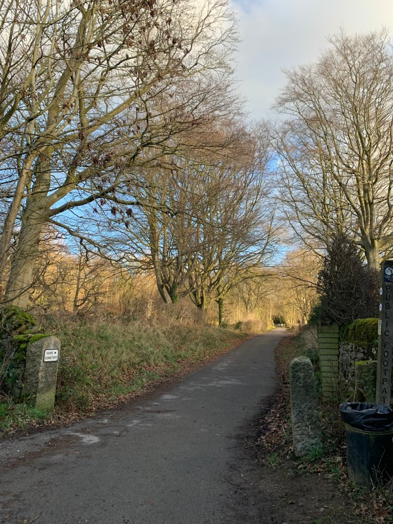
It’s initially a track and then once through the railway tunnel becomes a footpath. We’re still revelling in the views from all directions
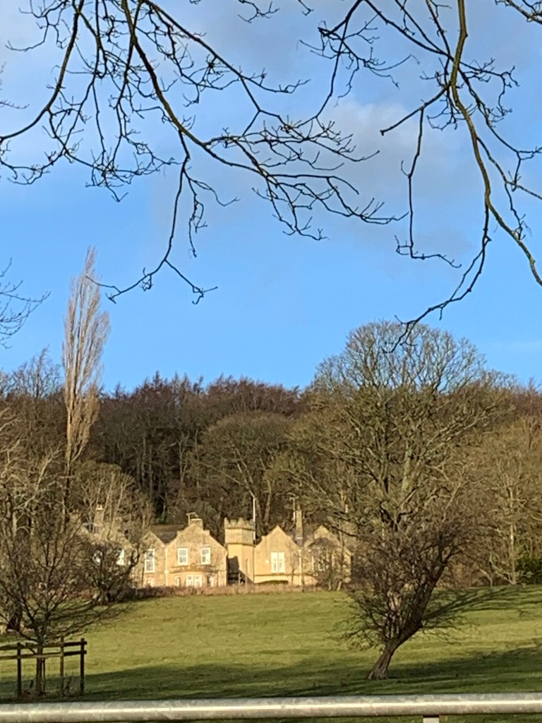
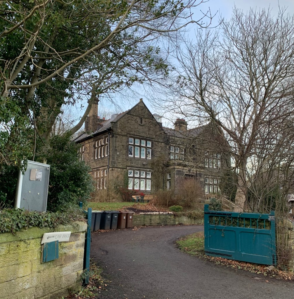
and we’re also trying to work out where the splendid mansion we saw perched on the hillside from back before Hope actually is.
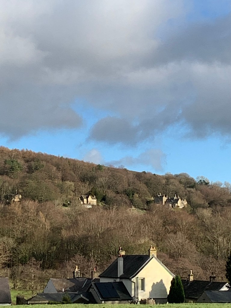
It doesn’t seem to be Aston Hall which had been my guess…. maybe it’s Birchfield?….
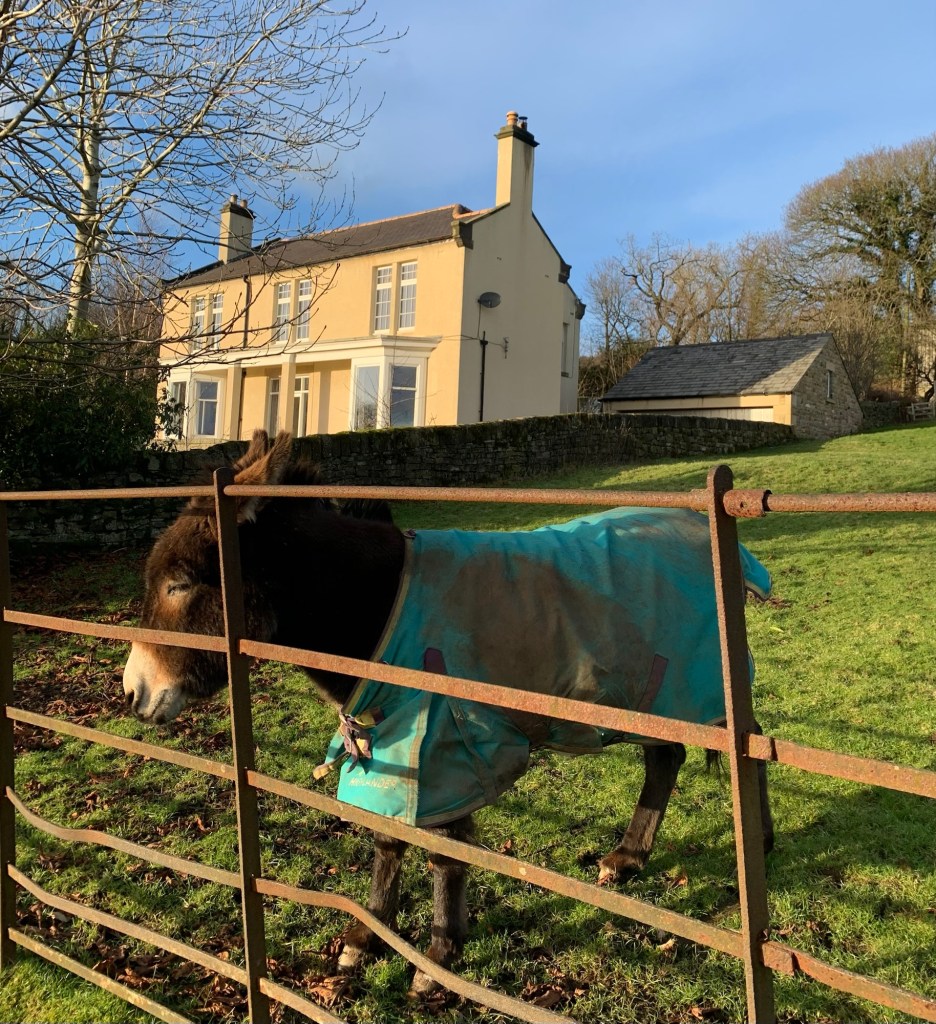
When the path joins Aston Lane we turn left and approaching the hamlet of Aston we break right onto a path which passes in front of another splendid, if less grand, house and your actual Little Donkey ( no doubt resting after a tough Nativity season.)
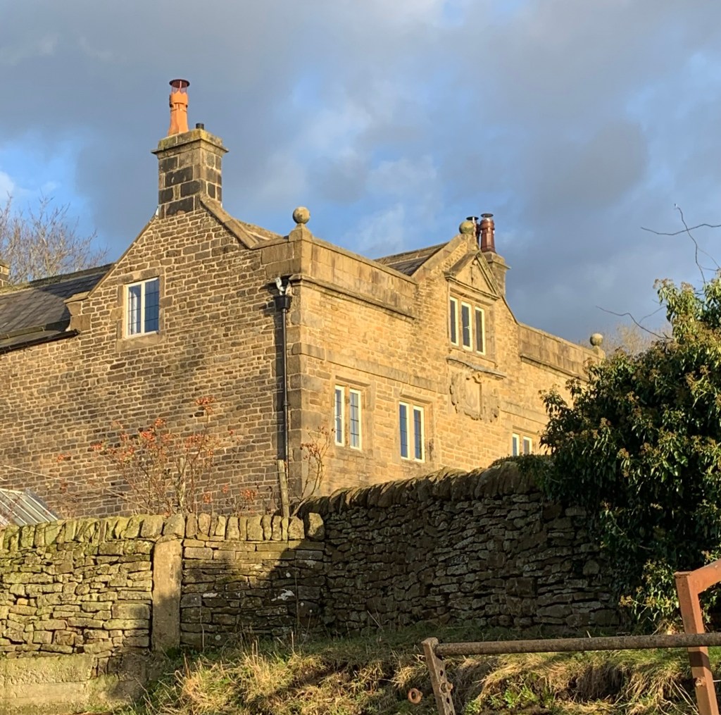
We rejoin the lane in time to pass by Aston Hall which although smaller than the one we’ve been looking for is nonetheless very interesting and looks to have a history.
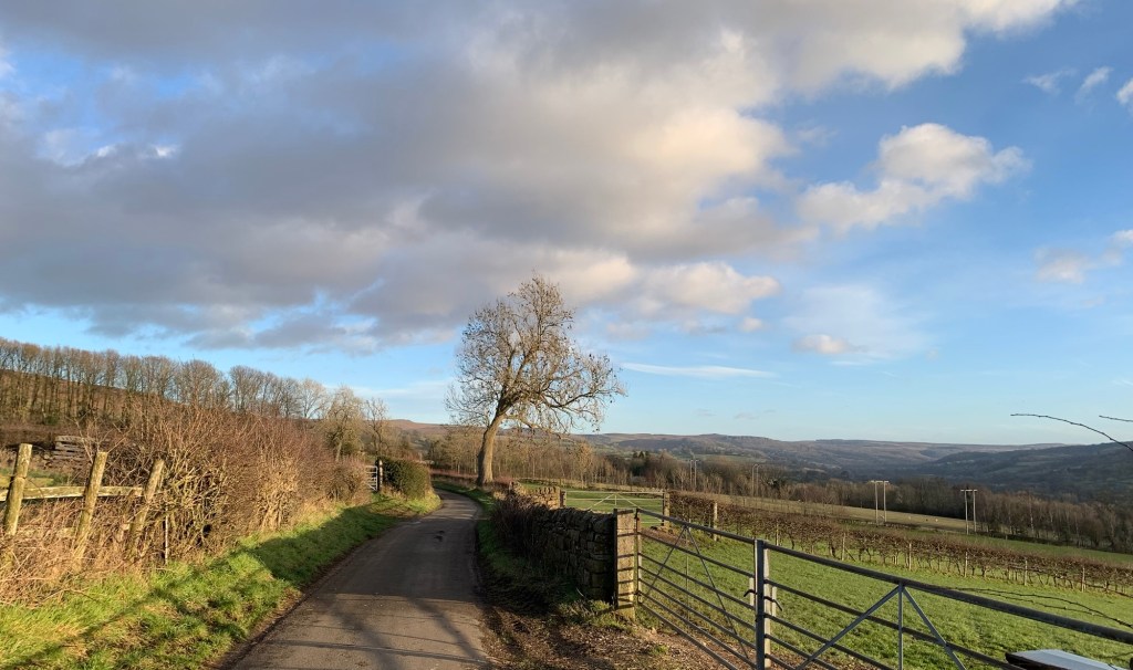
The back lane continues, it’s easy walking which just makes it easier still to drink in the scenery.
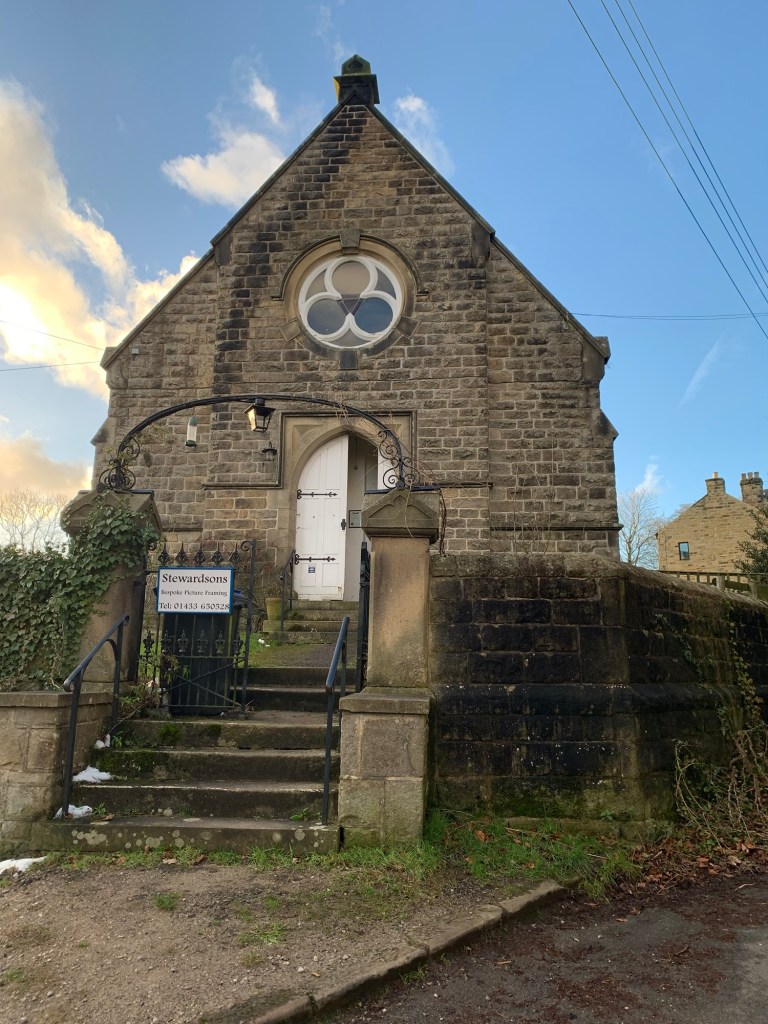
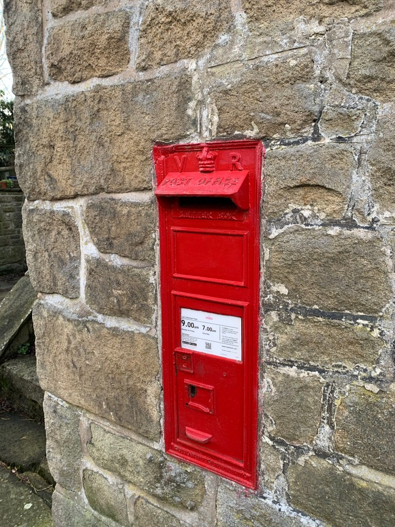
Further along we come to the next hamlet of Thornhill with its converted chapel, now a picture framers and, an unexpected high point of the day, a V for Victoria post box!
At the T junction we head left along Carr Lane signed towards Ladybower.
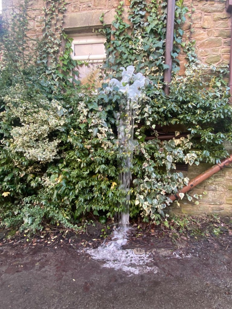
Along Carr Lane on the side of a building we are treated to an accidental ice sculpture which reminds us just how cold it is. Maybe it’s a warning of what’s just around the corner….
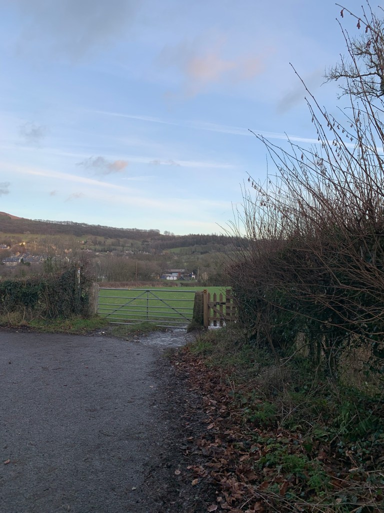
Just after this and before a private roadway on the right is a finger post taking us down onto the old railway track.
Aside from the frozen down pipe this is the first ice we’ve encountered since leaving home and although it looks nightmarish as all the steps are completely covered in ice, we manage to make our way through the undergrowth steeply down the side of the path. At the bottom at least we have the gate to hold onto as we skate through to the railway track. Unfortunately this too is sheet ice.
It must have escaped the sun all day and it’s definitely getting colder rather than warmer now. No matter, once again we walk along the edge of the track through the undergrowth and we even get chance to pause and look across the valley to a shadowy Bamford Mill and a sun-soaked Bamford Edge.
Once we get alongside the old Water Board house ( of later years a Quaker community) everything is strangely once more back to normal-going underfoot.
For some reason I find the paths here confusing so, in case you do too, first we have the Quaker house building on our left as we emerge from the railway track and with the gate to the allotment gardens straight ahead of us.
Then we turn left along the lane, passing the front of the house
and then we turn right through a footpath in the corner of the bend.
This path takes us across the field and then right under the railway line
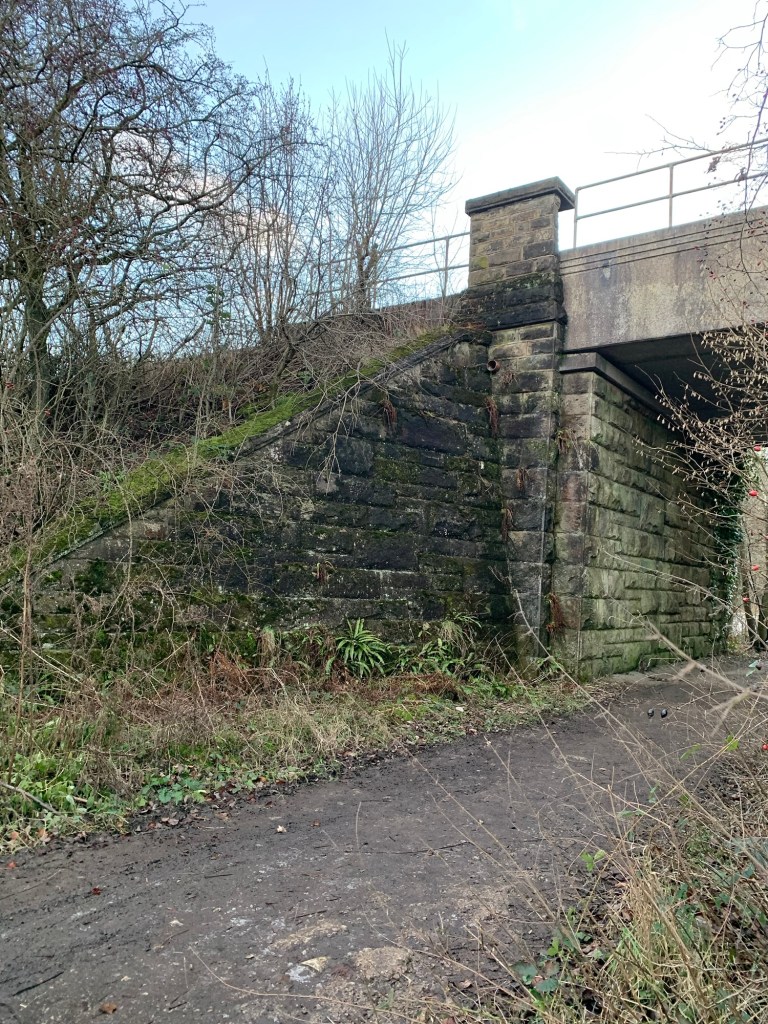
and out onto the main A6187 just next to Bamford Garden Centre.
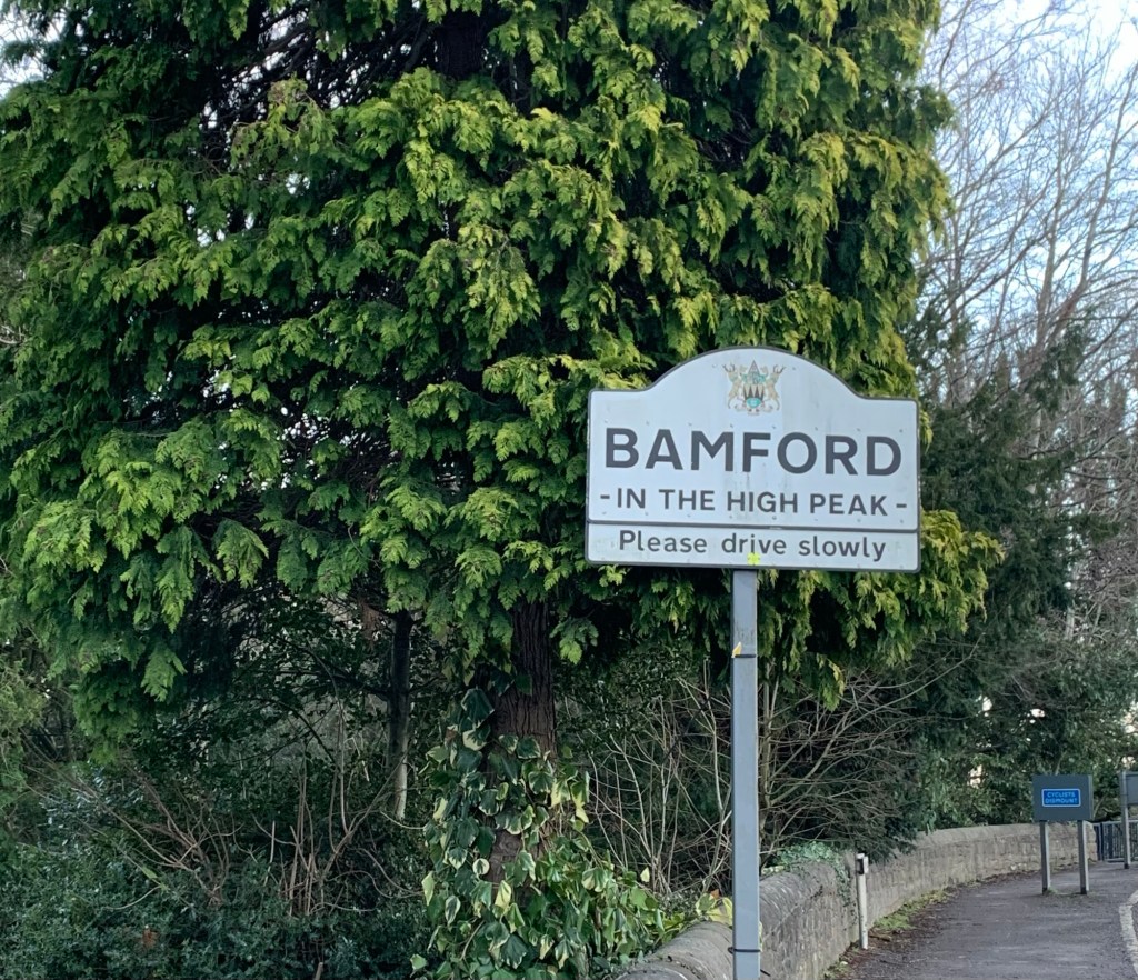
We’re just in time for a takeaway coffee from the Wild Kettle which we take with us to the bus shelter at Bamford turn around.
We don’t even have time to get cold waiting for the bus, partly due to the nice hot coffee and the shelter of the shelter…. But also due to the promptness of the 272 which is soon hurtling us back to the city of Sheff after our first alphabet walk of 2026, and a very good start to the year.
We’ve got a number of ideas for P but we’re trying not to get too excited because we need to see what next week’s weather has in store for us.
Mind you, here we are being very careful and moderate…. look at this lot climbing The Downfall! Now there’s an adventure.
https://footpathapp.com/routes/8C64954F-68E2-49DE-A9AC-86953566EC06?units=metric
Transport
272 from Sheffield to Castleton
272, 257 or train home from Bamford to Sheffield
Pubs/Cafes
Numerous options in Castleton, we’d probably recommend Three Roofs Cafe or the Old Cheshire Cheese
Several options in Hope, our favourites mentioned with links in the text
Bamford
Wild Kettle
How far?
Around 16k
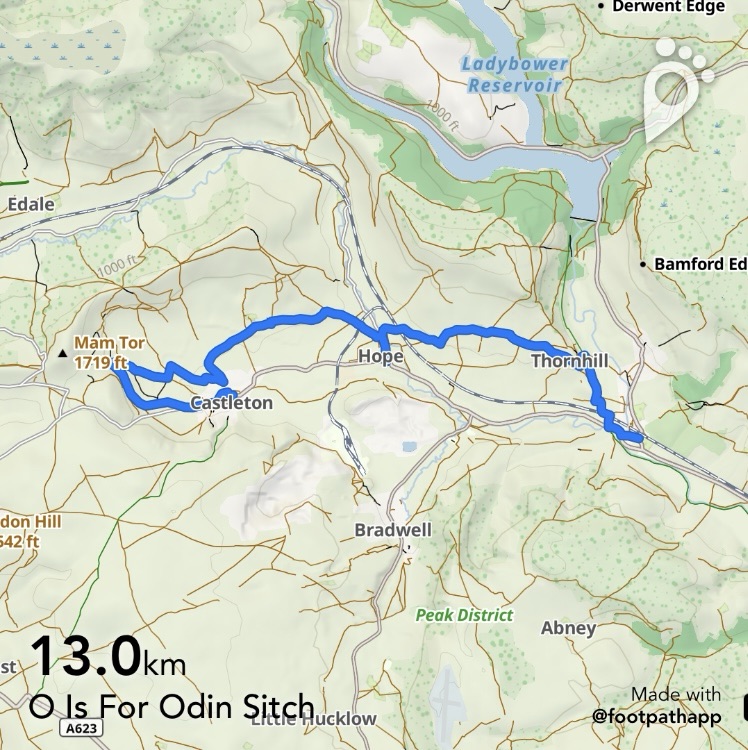
Route Synopsis
Castleton, Broken Road, Odin Mine, Odin Sitch, Dirty Lane, Hope, Aston, Thornhill, Bamford.
Dogs?
Yes….maybe a chance of orange paws?!
Map
OS Dark Peak

Leave a comment