A IS FOR AGDEN
We couldn’t have had better weather to discover the delights of the Loxley Valley. Dry conditions under foot and spectacular views combined with lots of local interest and made this a cracking start to our alphabet walks.
Getting off the 81 near the medical centre in Stannington we turned right up hill on Uppergate Road past the Crown & Glove and on reaching the end of a row of houses our first footpath was waiting for us on our right.
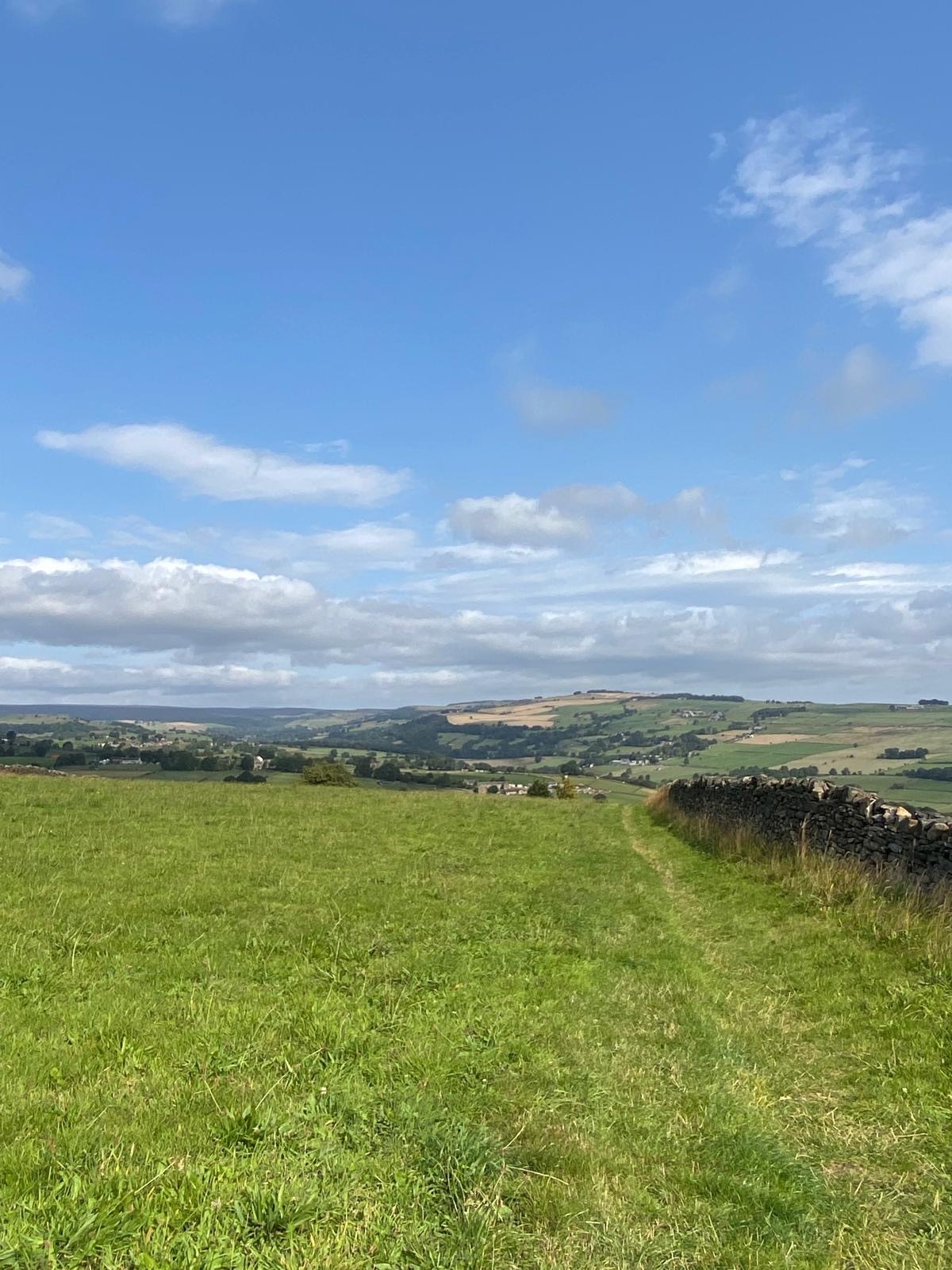
We were instantly rewarded with an amazing view across the Loxley Valley and , further away, views of the Derwent Edges over to our left. It was already worth coming out for and we’d only walked five minutes from the bus stop.
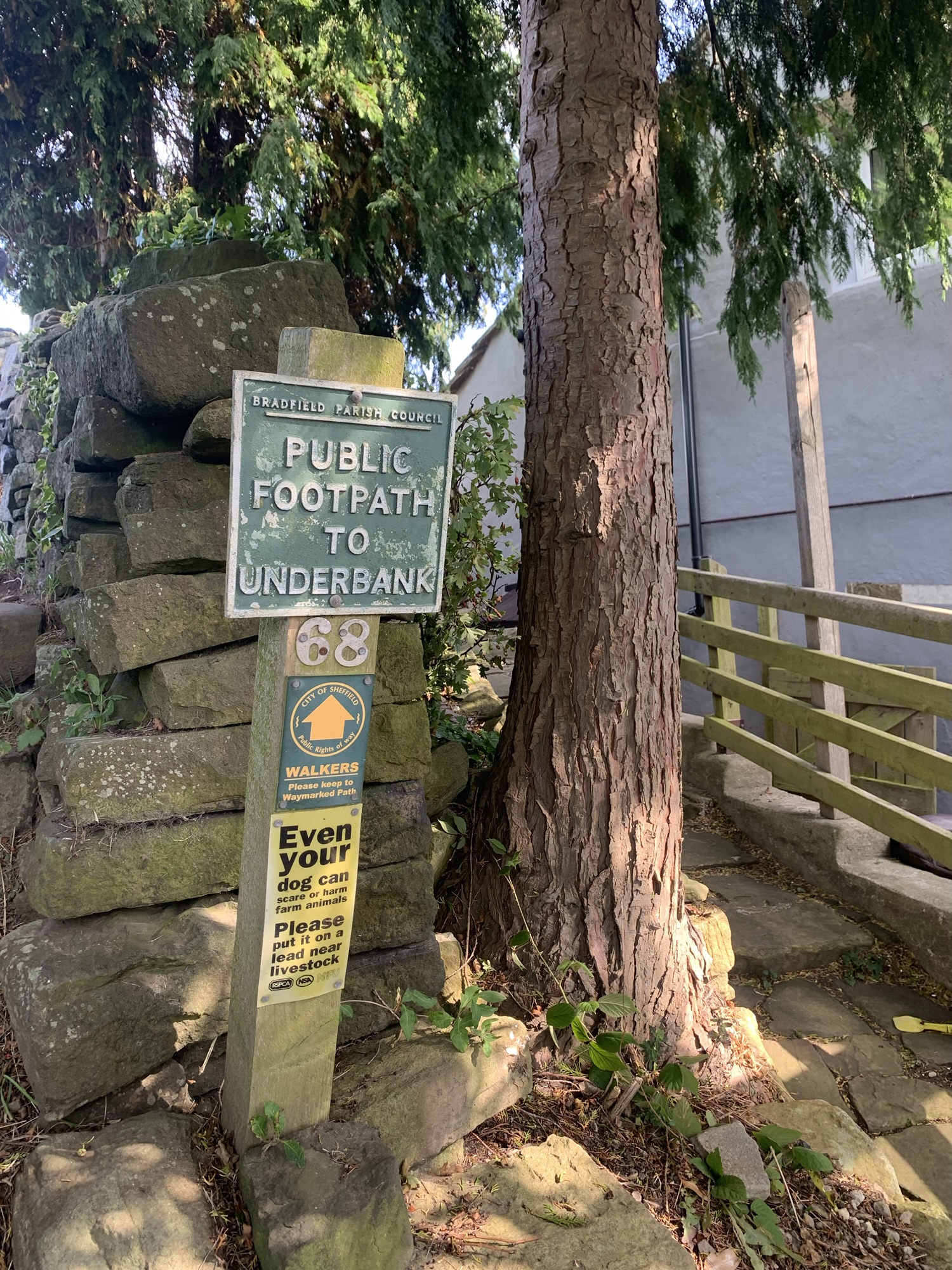
At first the well defined path heads straight ahead through a field before winding left through the wilder miniature moorland area of Underbank where we arrived on the road near the old school and the chapel, both amazing buildings and rich in history.
After a brief right turn along the road past the chapel we took a left down Spoon Lane ( footpath) which has the feel of an old pathway about it. It just feels like it used to have more importance to it than it does now. As we followed the path downhill we also had the extra treat of seeing a Shetland pony, some horses and a goat all munching away happily in an adjoining small holding.
On reaching the next road we turned left up the hill to Storrs, past the Cattery and Storrs House Farm.
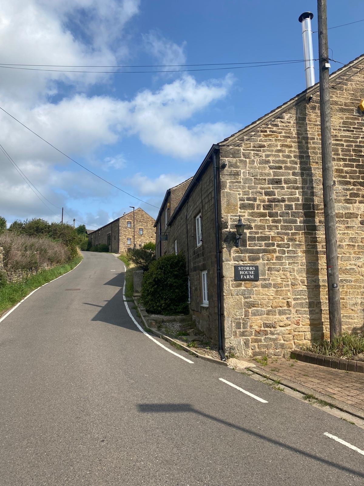
The road twists and turns and we passed some lovely old gritstone houses and farm buildings, each one deserving to be sketched and painted and no passing traffic to speak of.
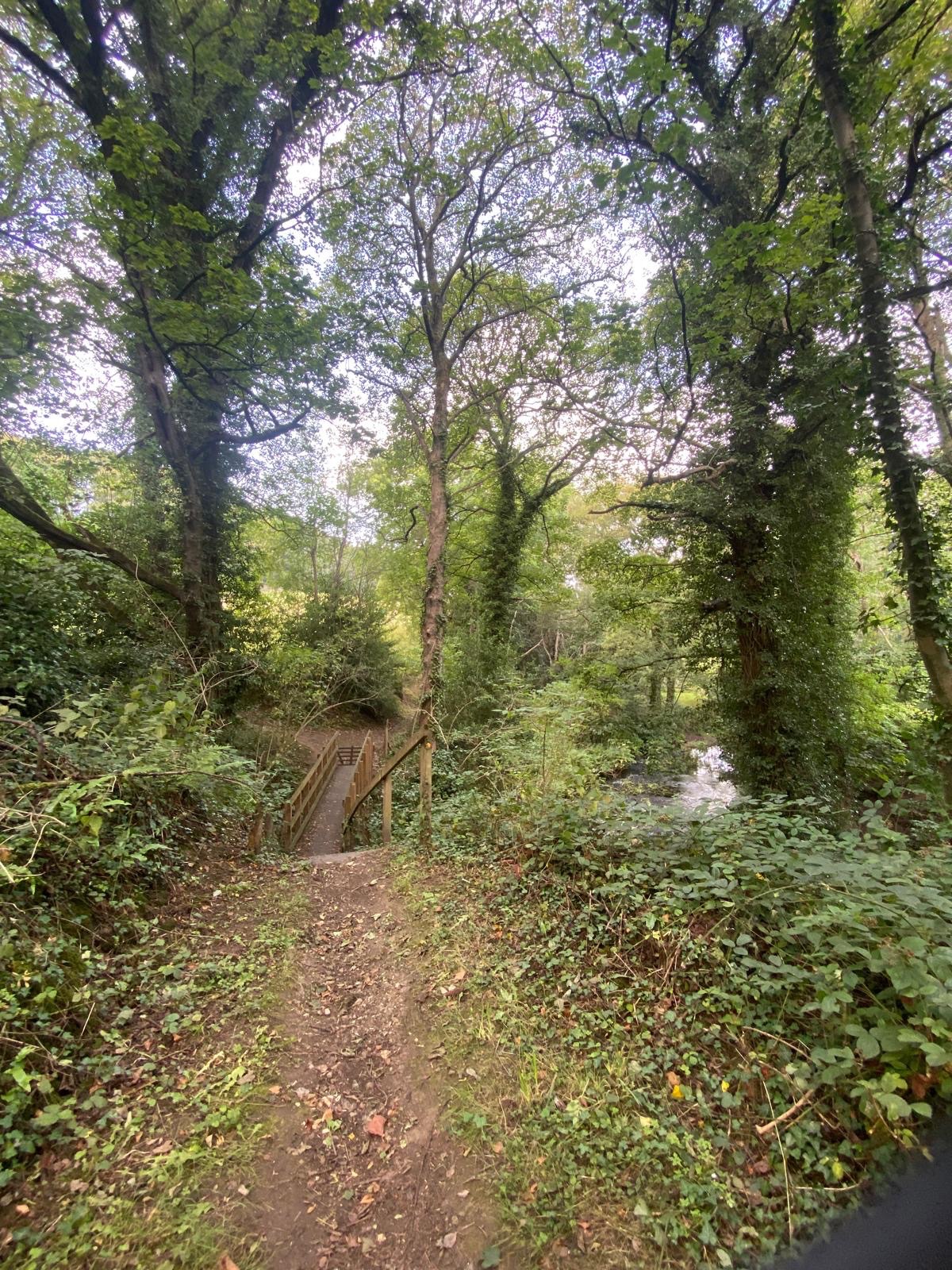
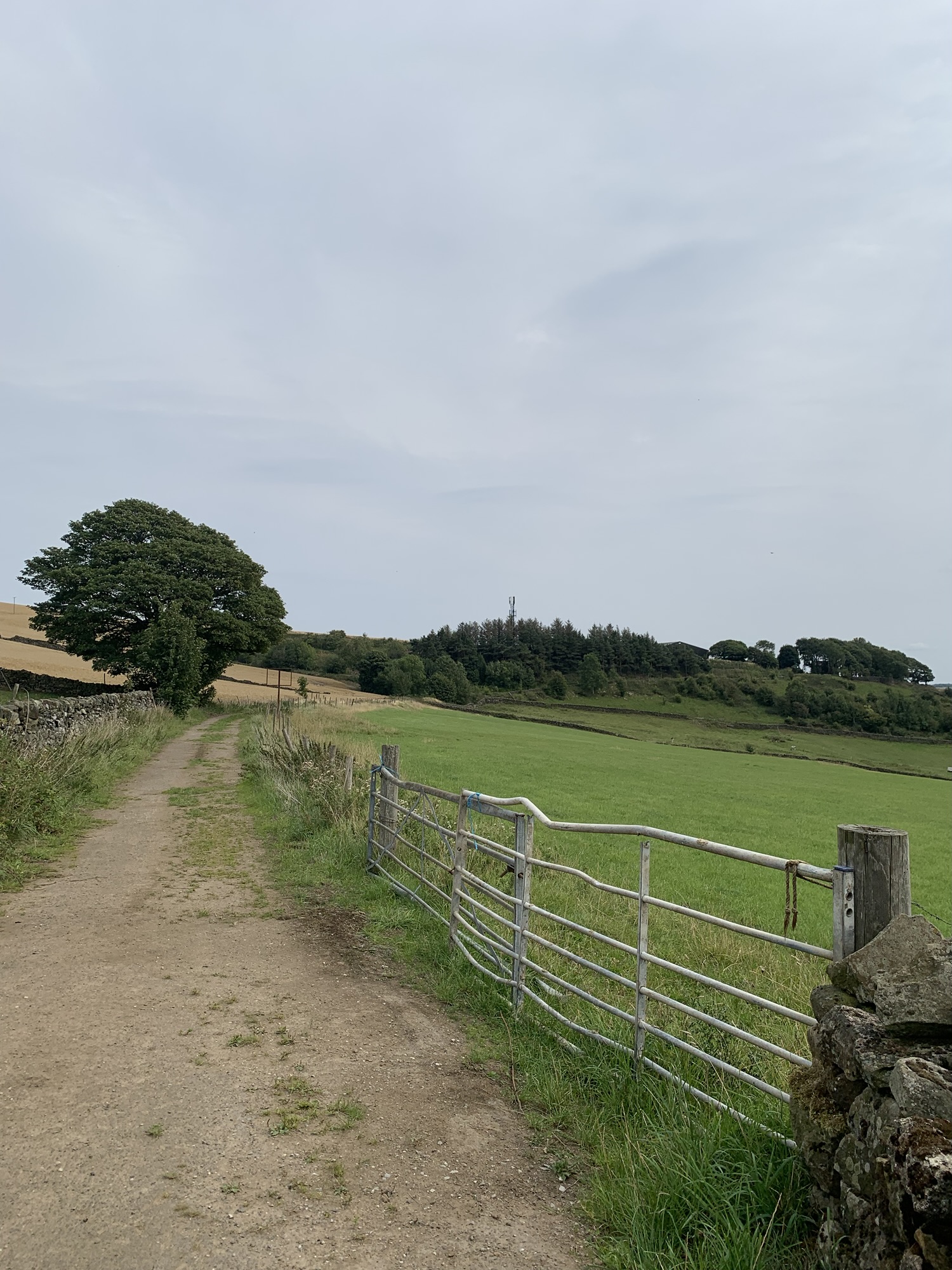
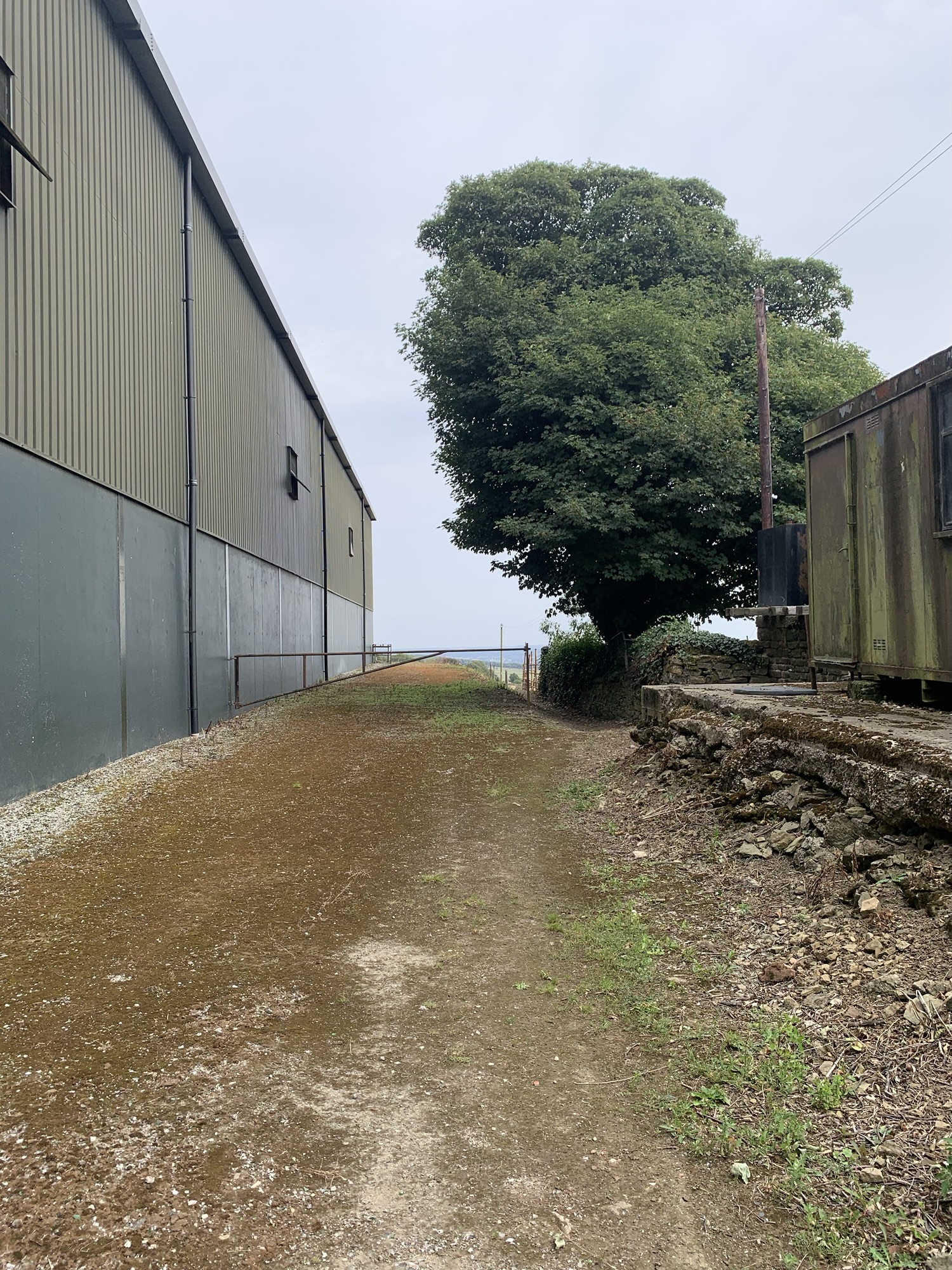
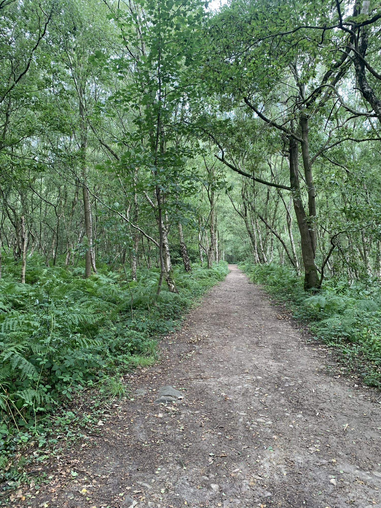
Storrs Lane becomes Storrs Green and just as it takes a sharp bend to the left becoming Storrs Carr we branched right on a tarmac lane towards Throstle Nest Farm. Where the drive to the farm veers off to the right the path keeps straight on and downward and then left again through a small kissing gate following a steep and uneven path for a few hundred metres before turning left onto a broader and much firmer level path through the woods. This area is riddled with paths but our aim here was to avoid dropping straight into the valley bottom in order to miss out the slightly grim part of the Loxley Trail that leads through the disused factories of the old brickworks. Maybe the numerous paths here started out in life as the ways people used to walk to work. Anyway we managed to stay on a very pleasant path with a footbridge over Sykehouse Brook eventually turning right for a brief climb up past the row of houses on Stacey Bank.
On reaching the Loxley Road we turned left and then left again along the top of the dam. This gave rise to many memories of running the Percy Pud 10k back in the day and also delightful views across Damflask Reservoir.
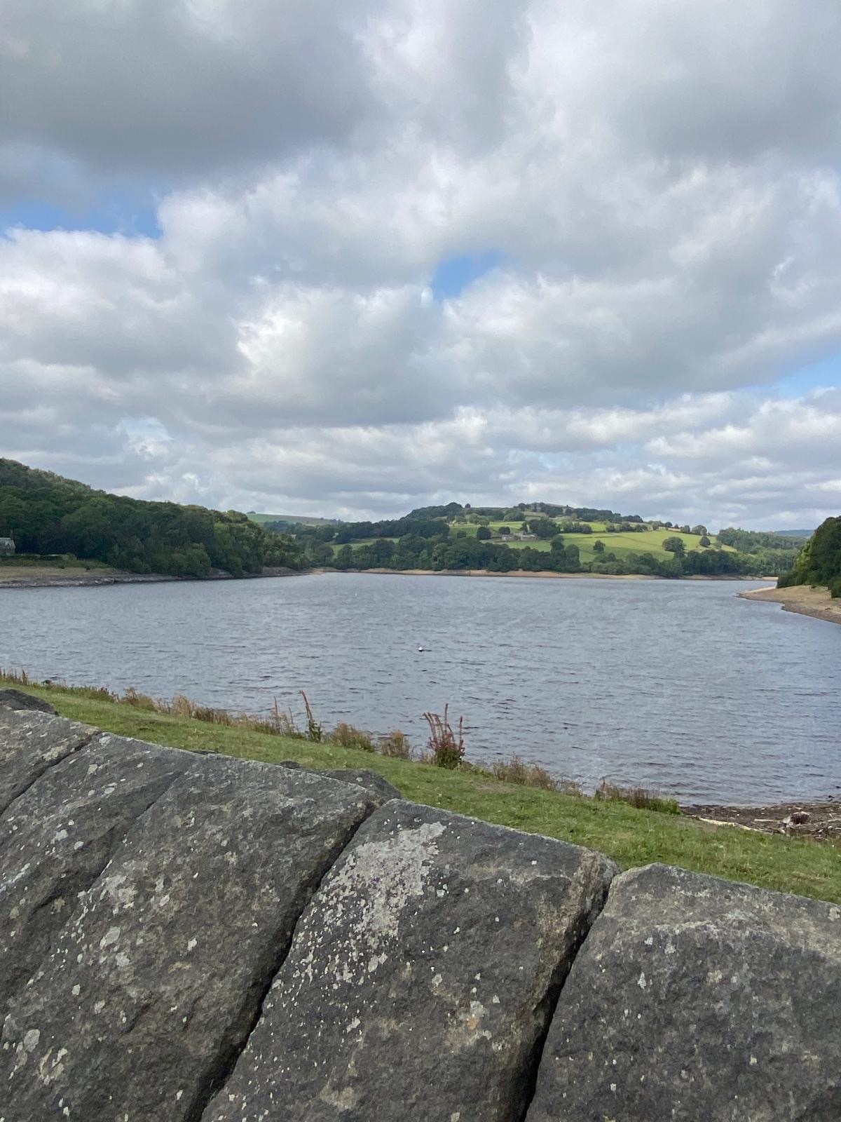
Unlike the Percy Pud we were soon off the road and following the Water Board footpath along the lakeside. It is so much more interesting and enjoyable than the road and is a very popular destination for walkers although we didn’t see many today.
At the end of the reservoir we turned right at a bridge and then left along the road into Low Bradfield.
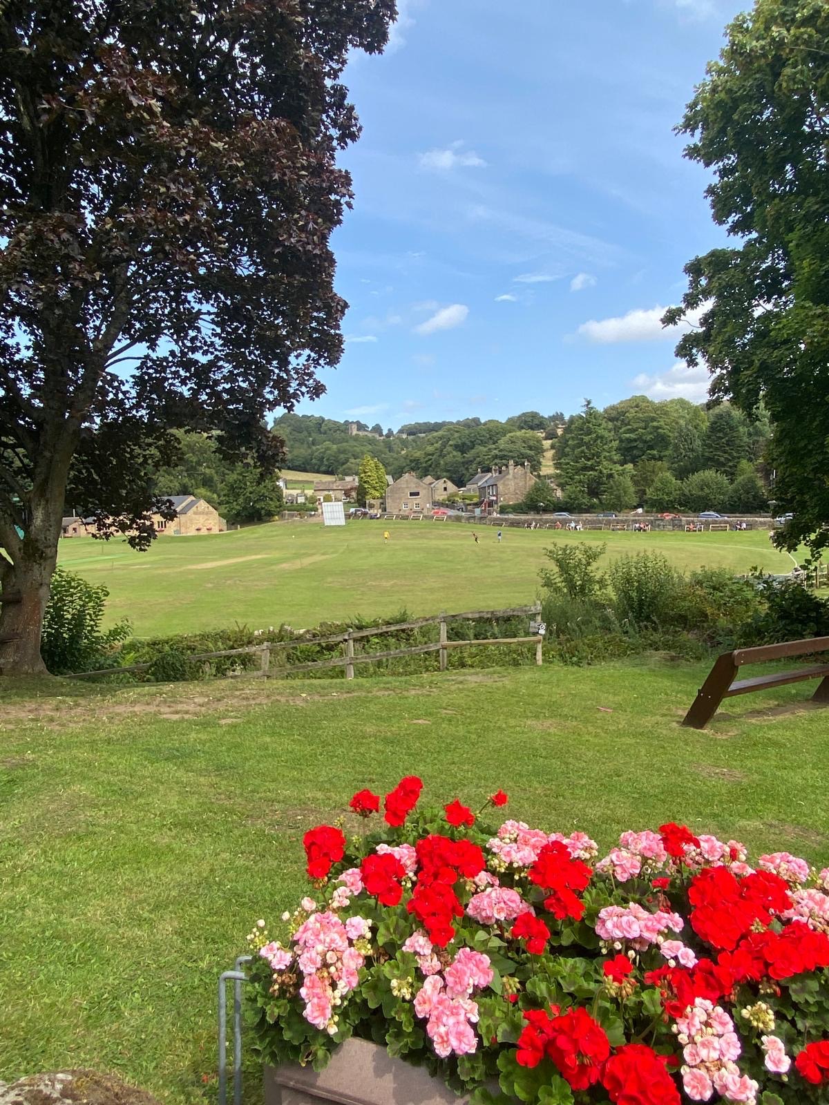
Now we’d found where everyone was! …in The School Rooms Cafe. The menu looked quite expensive for a walking pit stop ( although obviously not affecting the popularity of the place as it was hard to find a table) but when our order arrived it would easily have been enough for twice as many and we thoroughly enjoyed feeding our faces and resting our legs. Another great option for refreshment in Low Bradfield is The Plough, and maybe that will have to be our excuse for doing the walk again before the next round of the alphabet!
Continuing our walk on full bellies we walked up and around the bend past the cafe and took a right on Windy Bank.
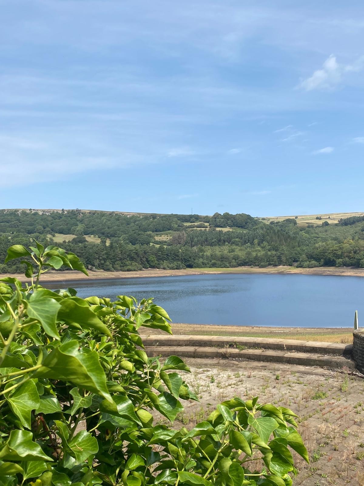
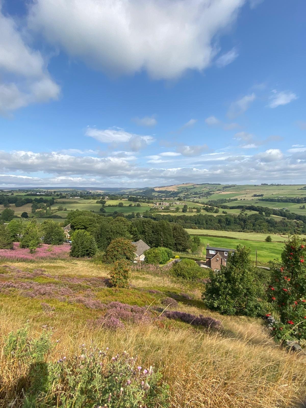
Now we were beginning our loop around Agden Reservoir, the A of our walk, and it did not disappoint, everywhere looking beautiful on such a sunny day. We thought how lucky we were to be out and enjoying a perfect day’s walk.
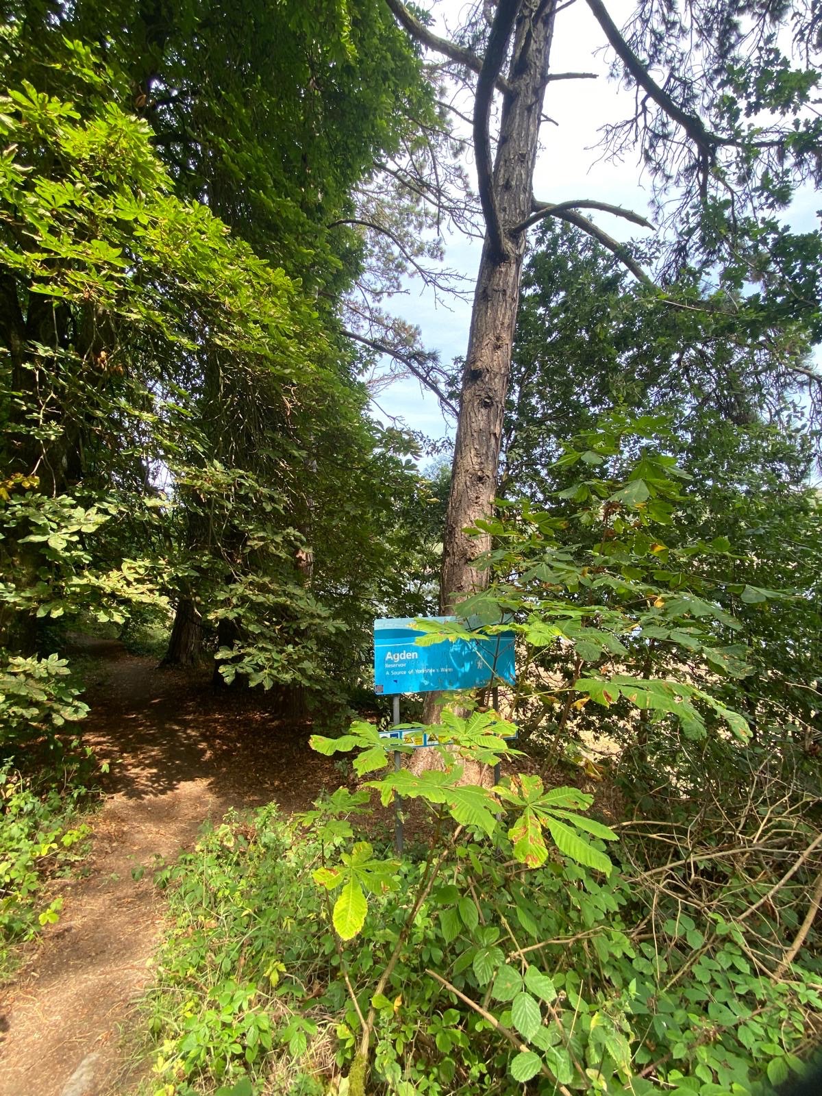
Once again we joined a water board footpath which winds its way around the lake before joining a minor road on the far side of the reservoir. The road leads back to Low Bradfield but we were on the lookout for a footpath off to the left which would take us up to High Bradfield.
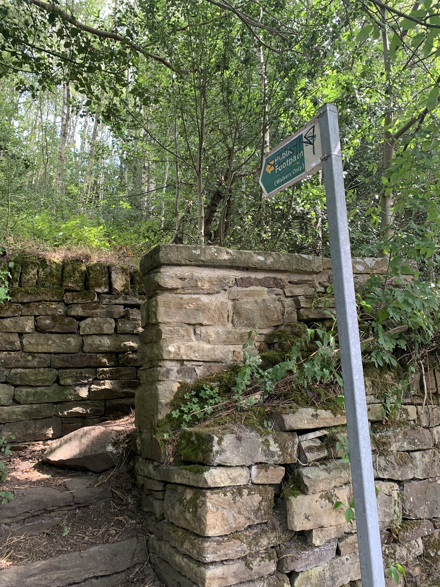
And when we found it, Boy, was it steep?!
We reflected that apart from a brief pull up Stacey Bank we’d not really had any hills yet today, so feeling a little more as though we deserved it, we got stuck into the climb and we were soon at a T junction of paths where we took the path on the right leading through the graveyard of High Bradfield church.
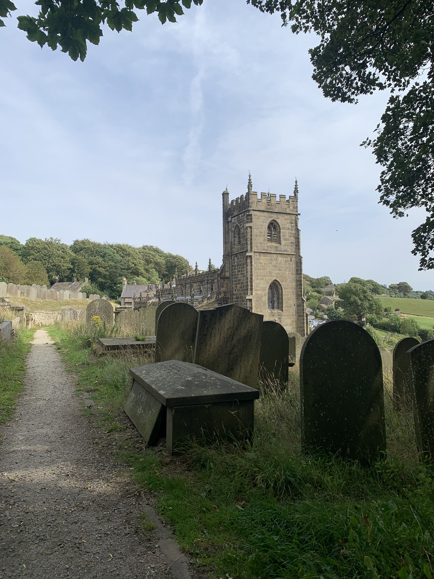
It’s a big church with lots of history and amazing views, no wonder so many people want to get married here.
Having recently read Peter Machan’s book on the Loxley Valley I was pleased to spot the watch house building at the entrance to the church yard which was where lookouts were posted to spot body snatchers, young medical students after bodies to do their research on, back in the early 19th century!
The book, Loxley, Wanderings in a Curious Valley, is an absolute font of information on many of the places we’re walking through on this walk, and many more besides and I would recommend it 100%. I think it’s worth reading before this walk and then AGAIN after the walk because there’s just so much of interest in this area.
Back to the walk and rather regretfully we managed to pass by the Old Horns pub without going in but it’s definitely to be recommended as a suitable spot to stop, especially in nice weather like today with spectacular views from the beer garden.
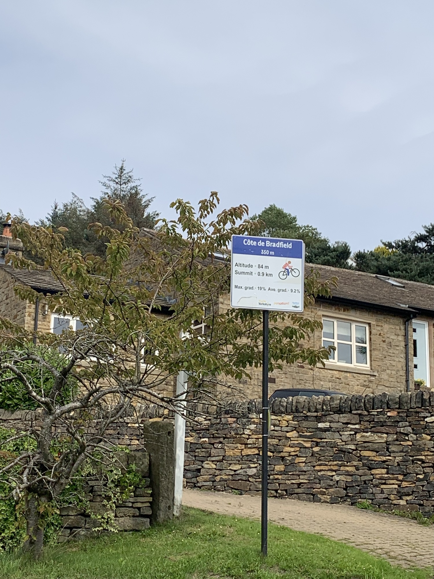
Just past the pub we watched a guy cycling up the steep hill from Lower Bradfield. As we watched he continued up even more steeply straight across at the crossroads, obviously intent on climbing the “ Cote de Bradfield “ of the 2014 Tour de France fame, and making it look easy too, which it’s obviously not!
Thankfully, we lesser mortals did not need to take the high road to the left, but walking straight on along Loxley Road for a short way we soon saw our next path heading off on the left and contouring along the hillside.
There are so many great views across the valley on this part of the walk it’s a good job the path is obvious for the most part.
At Cliffe House Farm there are footpath arrows but you need to look out for them. The path goes between the main farm buildings and a large barn on the left.
Once you’re through a gate at the end of the barn the path continues straight ahead and obvious once again, to join the road just before the tiny hamlet of Holdworth.
More great views and on the other side of the valley it’s not difficult to spot some of the landmarks we walked through earlier in the day.
Myers Lane continues to contour along the valley side and all of a sudden the tower blocks of Stannington start to look a little closer.
At the end of Myers Lane is a busy road known as Long Lane and thankfully we’ve only a few hundred metres on it ( to the left) before turning right onto Loxley Common. Unfortunately we didn’t spot Robin Hood but this was a really beautiful end to the elevated section of today’s walk. I can see us returning to check out this area again ( W for Wadsley maybe…?)
Anyway as we descended to the right we were very soon out of the woodland and suddenly there we were walking along France Road, Loxley.
At the bottom of the road we crossed onto Occupation Lane and were briefly on a path again and then it was a left past the school on Rodney Hill followed by a right onto Normandale and a left onto Woodstock as we made our way via Vale Grove towards the path through the woodland of Studfield Quarry.
Following the path downhill we soon reached the Loxley Road.
If you’re short of time it’s a direct walk from here along the main road to the tram terminus and bus stop on Holme Lane at Malin Bridge but much pleasanter and more interesting is to head over the road and down to Low Matlock where you can join the Loxley Trail and follow along by the river and past Wisewood Forge Mill Dam all the way to Malin Bridge. Ending the walk along the River Loxley with all its industrial history makes for a fitting end to a great day out.
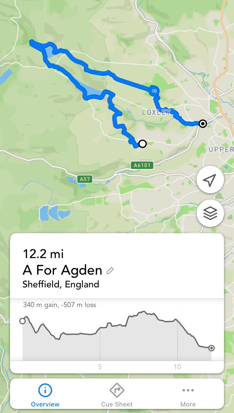
footpathapp.com/routes/a-for-agden/16E37B39-0344-401F-B2C9-9E77AB7FF1B1
INFORMATION
BUS
Bus 81 to Stannington
Return from Holme Lane tram and buses to Sheffield
PUBS/CAFES
The Plough
The Schoolrooms cafe
Both in Low Bradfield
The Old Horns
High Bradfield
HOW FAR?
Approximate distance 20k
ROUTE SYNOPSIS
Stannington, Underbank, Storrs, Stacey Bank, Damflask Reservoir, Low Bradfield, Agden Reservoir, High Bradfield, Holdworth, Loxley Common, Low Matlock, Loxley trail, Malin Bridge.
MAP
OS Dark Peak

Leave a comment