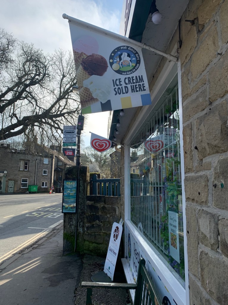
It’s a familiar start to today’s walk as we alight from the 218 at the sweet shop on the green at Baslow Nether End and head through the park to Edensor.
The weather is easily the best so far for any of this year’s alphabet walks and it’s a great tonic for both body and soul.
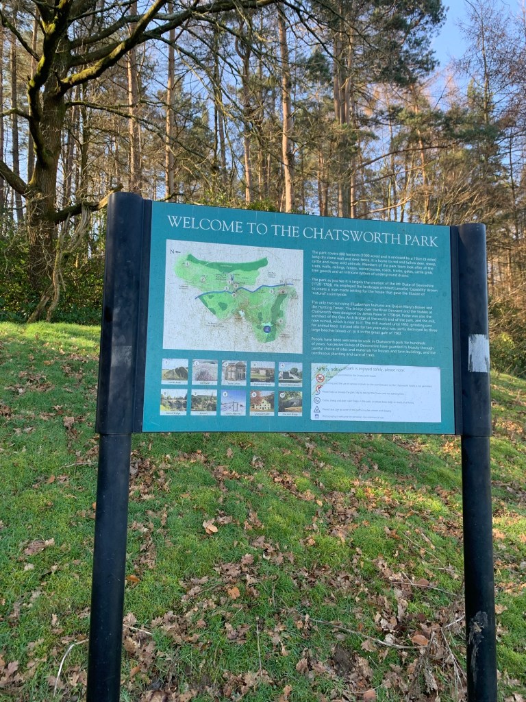
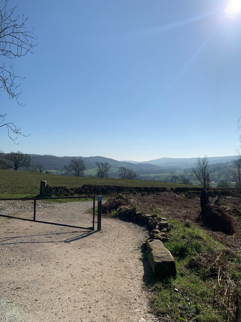
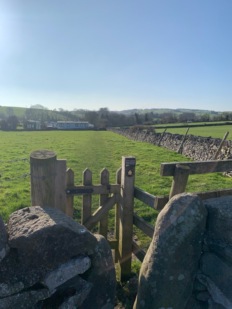
At Edensor as we head uphill through the village we are looking for a footpath sign on our left hand side. This leads us up a flight of old stone steps and through a stile onto the parkland of Chatsworth.
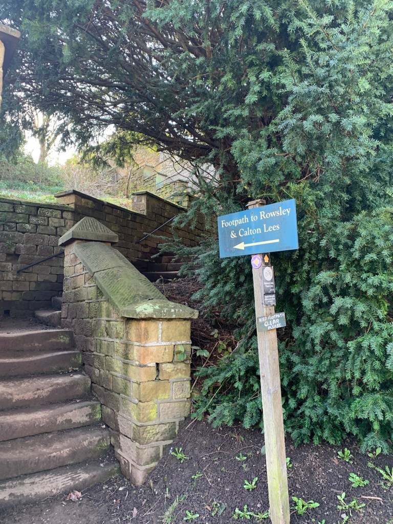
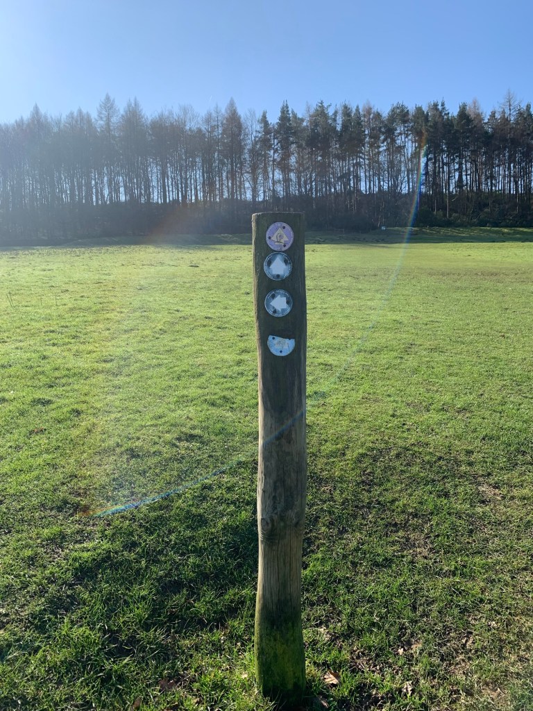
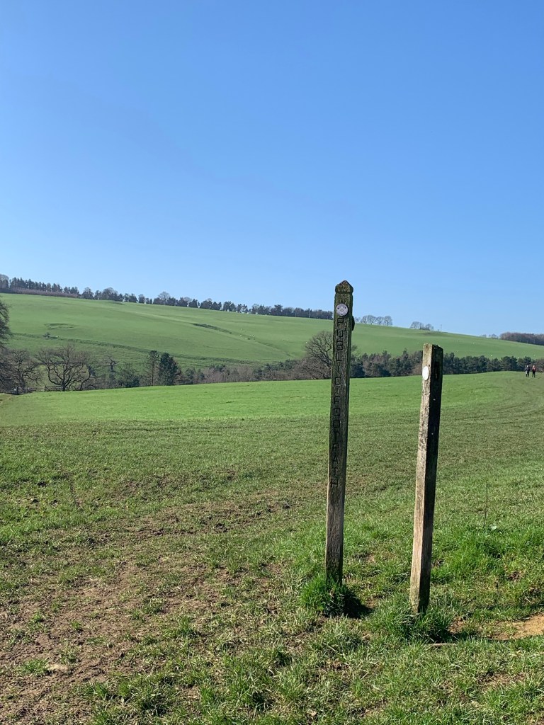
Given the number of visitors that come to Chatsworth you’d expect the paths to be more than obvious but that’s certainly not the case with this one. Without field boundaries and with very little definition underfoot there are a few footpath posts in the ground from time to time and that’s about all.
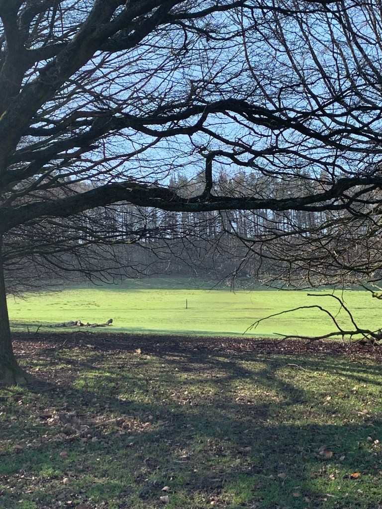
For this reason I have captioned the following photos to try to give you some bearings to head for and of course if you download the footpath app ( link at end of post) you should be able to follow the exact route we’re taking.
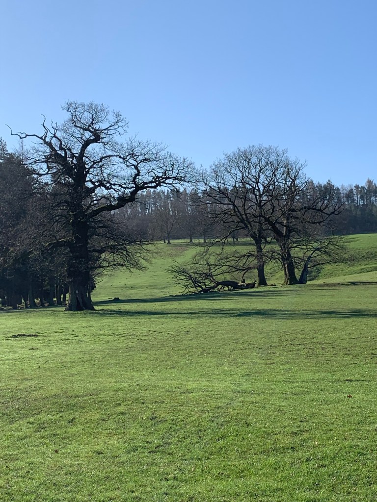
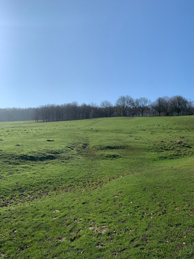
It’s very liberating to be sauntering through the open grassland of the park with space all around us and thanks to today’s sunshine and a relatively dry week we’ve not too many boggy moments to hold us up.
Jolly good show that the Duke of Dev allows us to wander through his backyard eh?
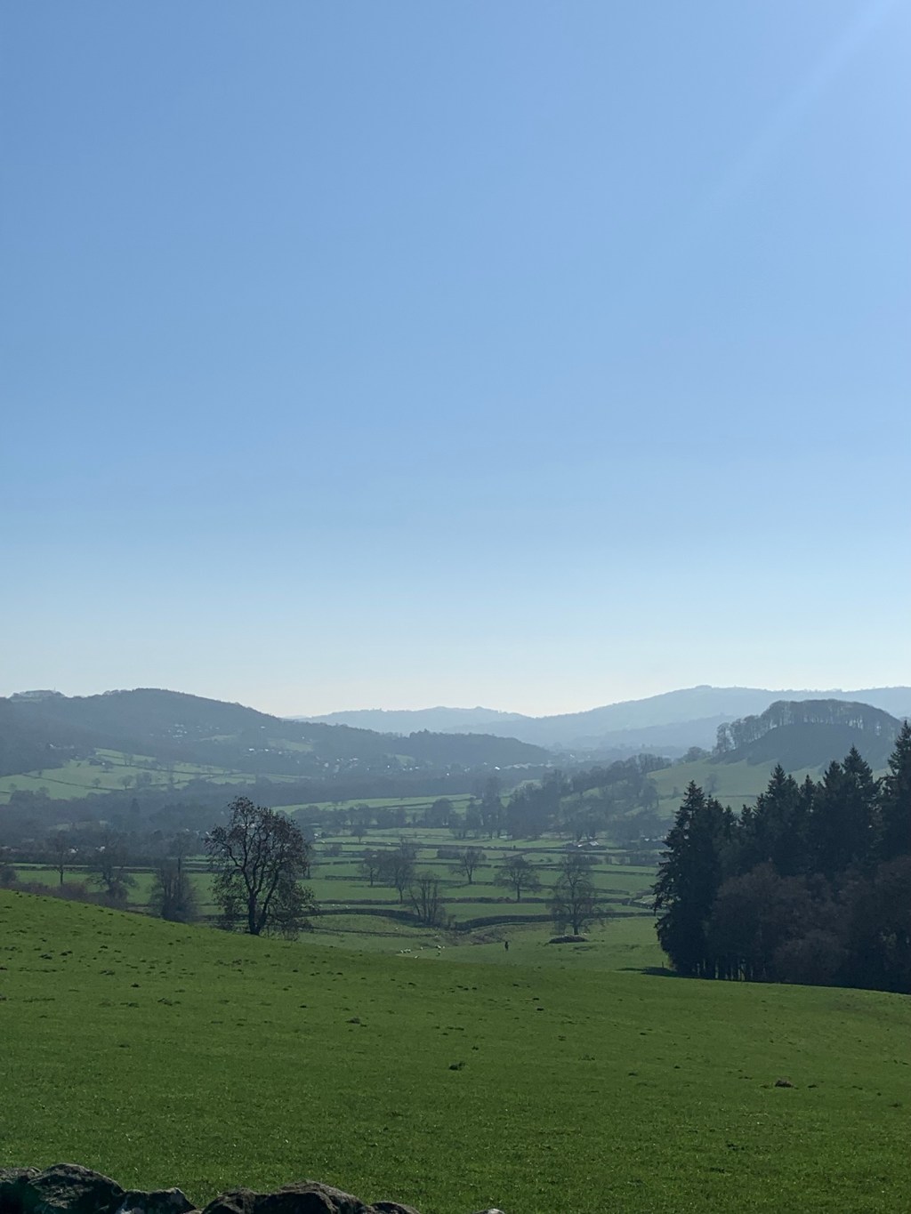
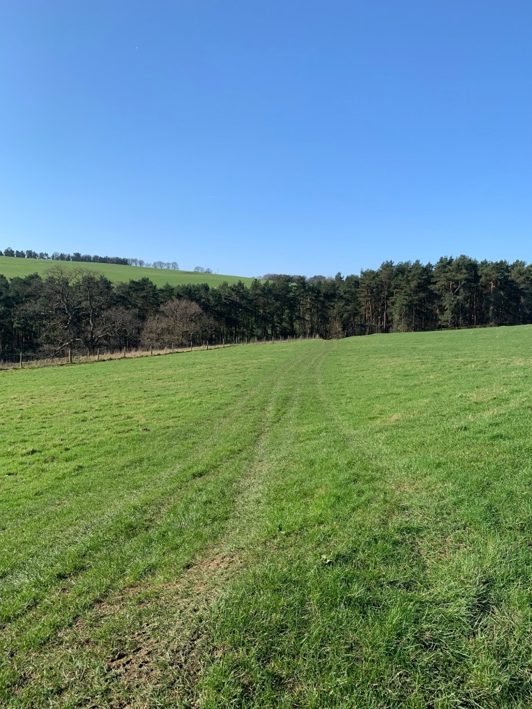
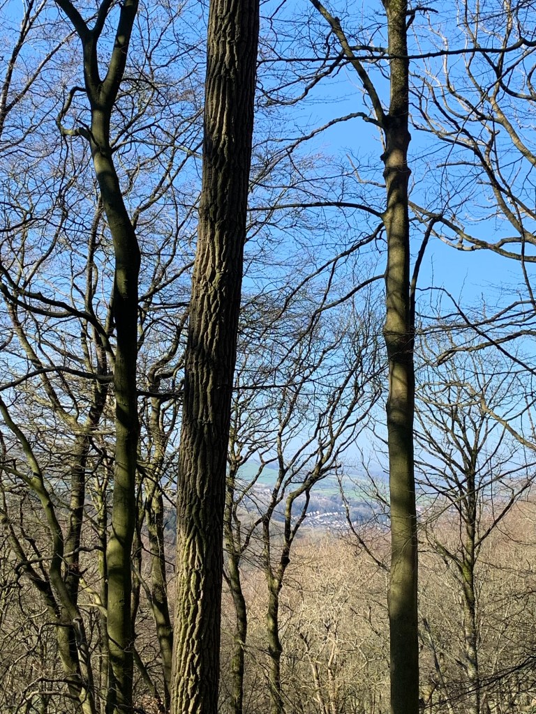
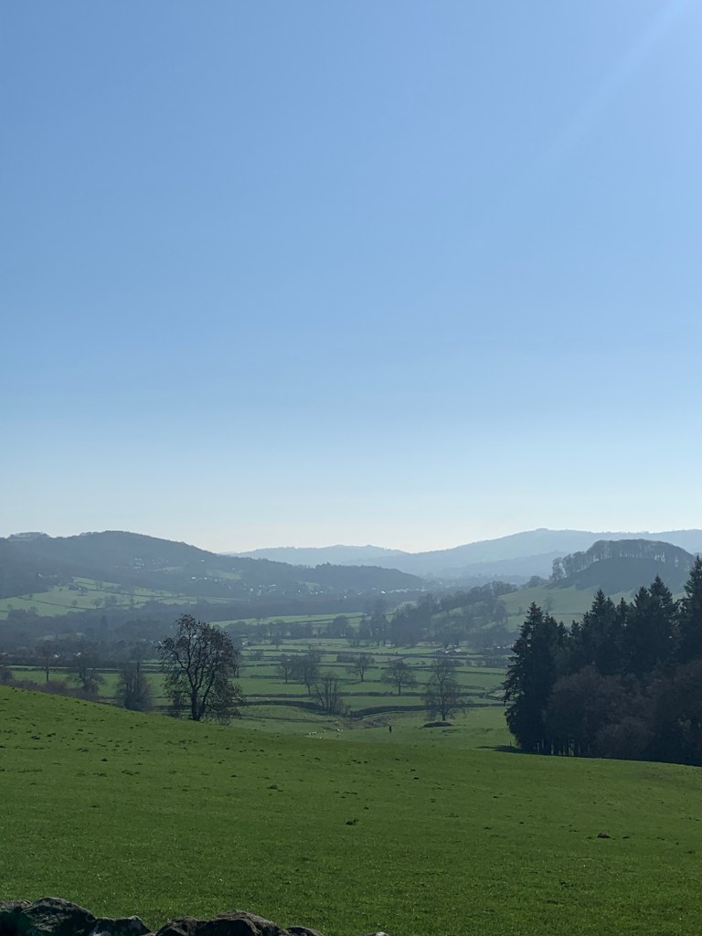
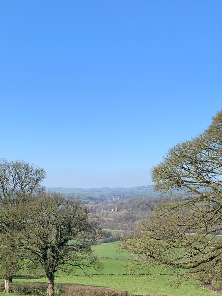
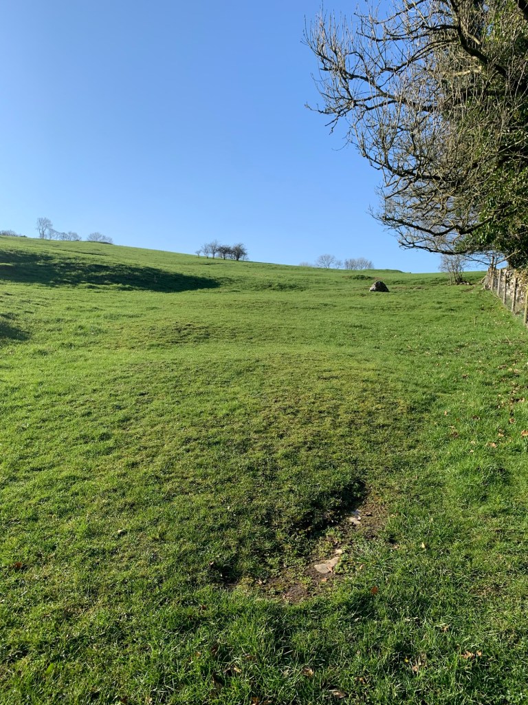
As we gain height the views back are breathtaking
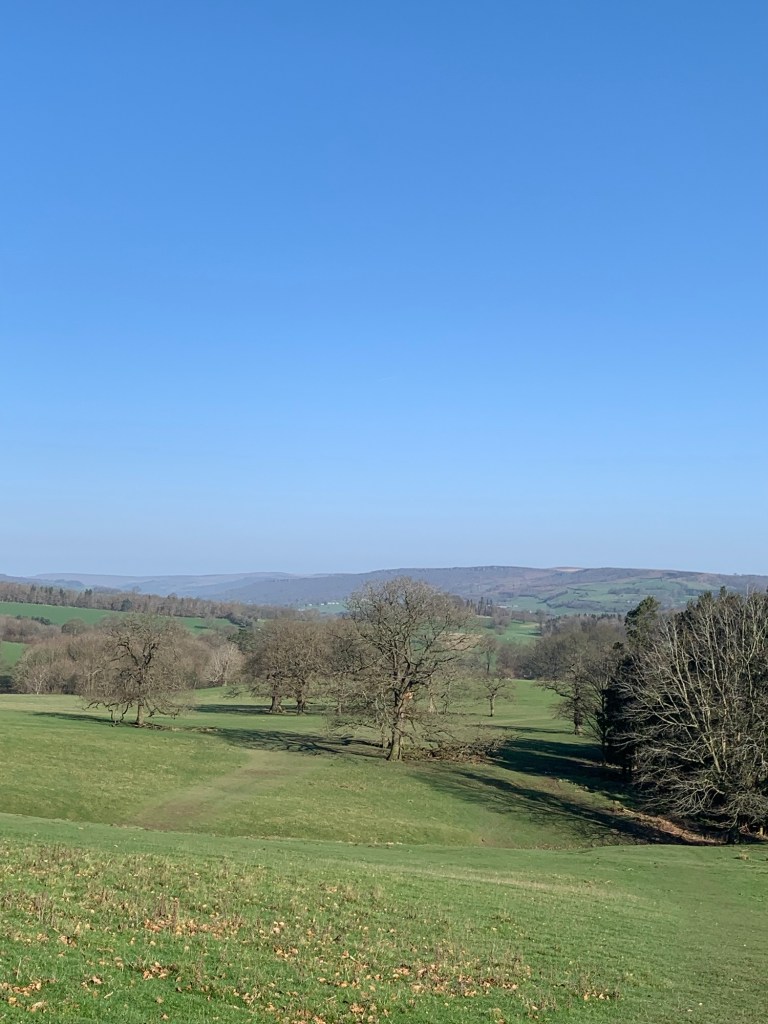
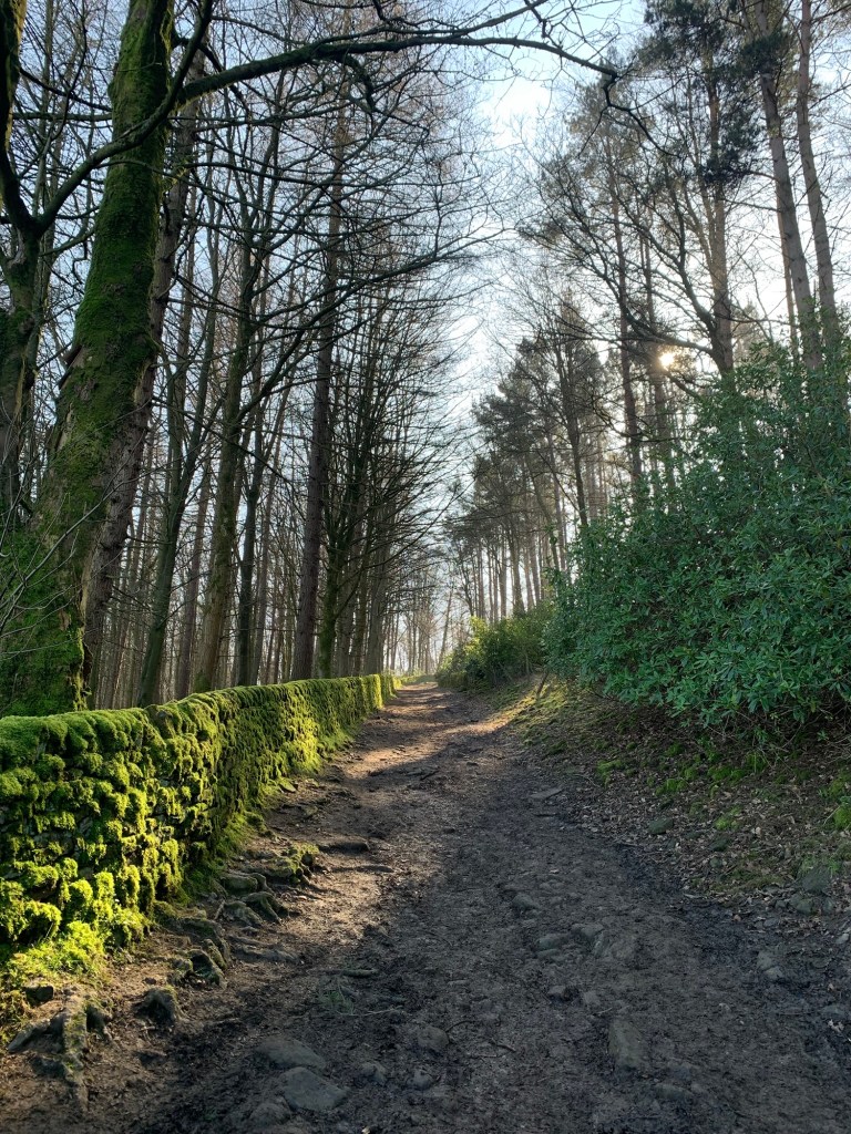
and we enjoy an almost bird’s eye view of Chatsworth House ( which still looks massive even from this distance!) As we head towards the top of our first hill we pass through a gate into woodland
and follow the diagonally ascending cart track
to emerge a few hundred metres later onto more parkland and a new set of views.
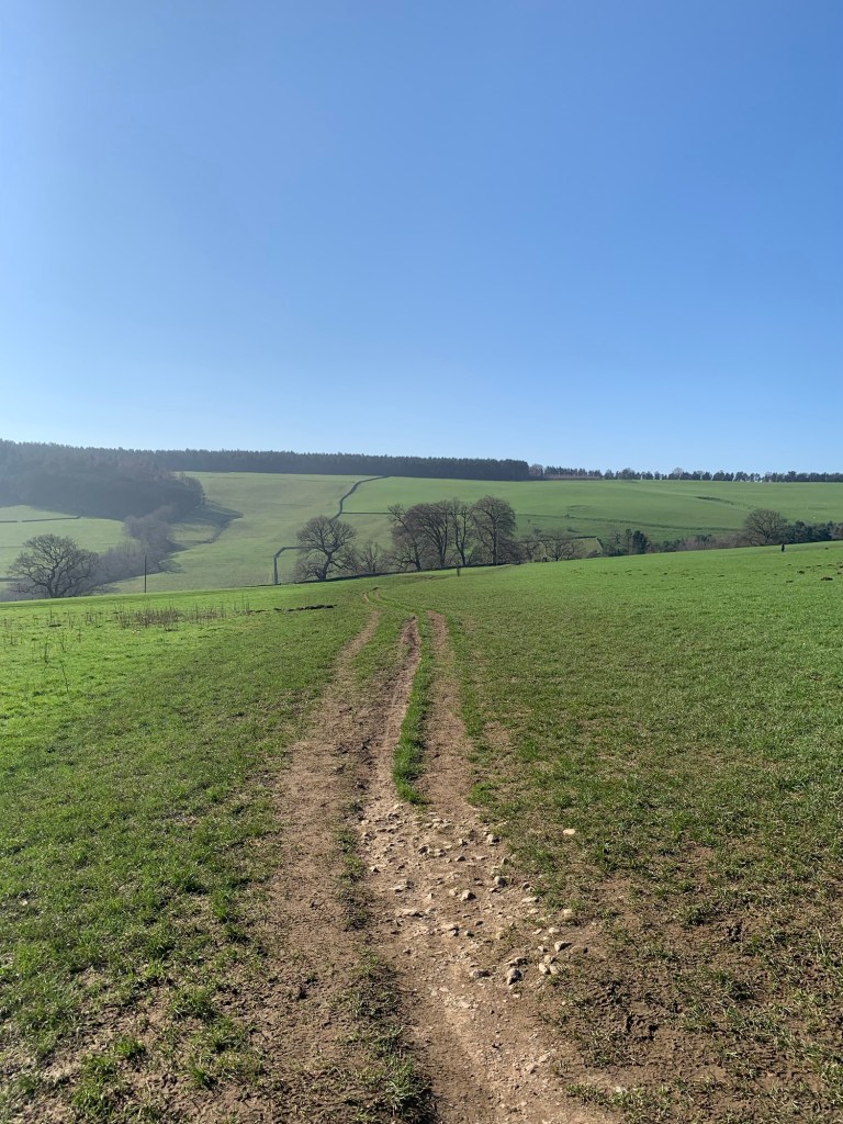
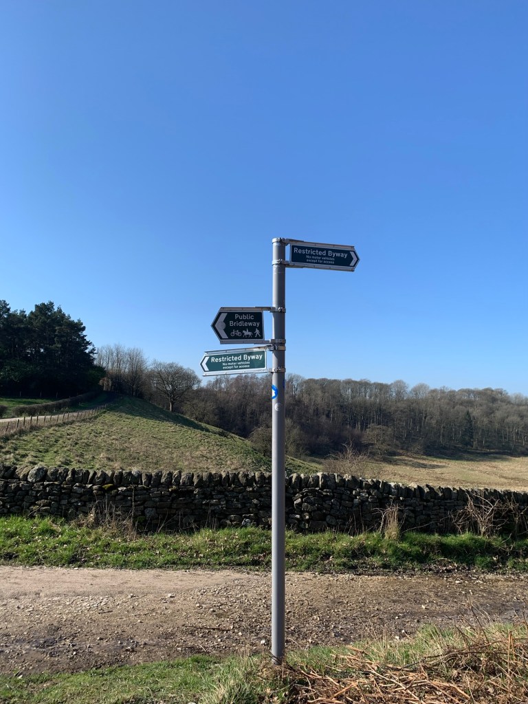
We initially head straight on here but soon turn right at a finger post
turning away from the more popular path which continues downhill to Carlton Lees ( garden centre and cafe) and then a few hundred metres later we veer left onto a very faintly defined path leading diagonally down towards some woods.
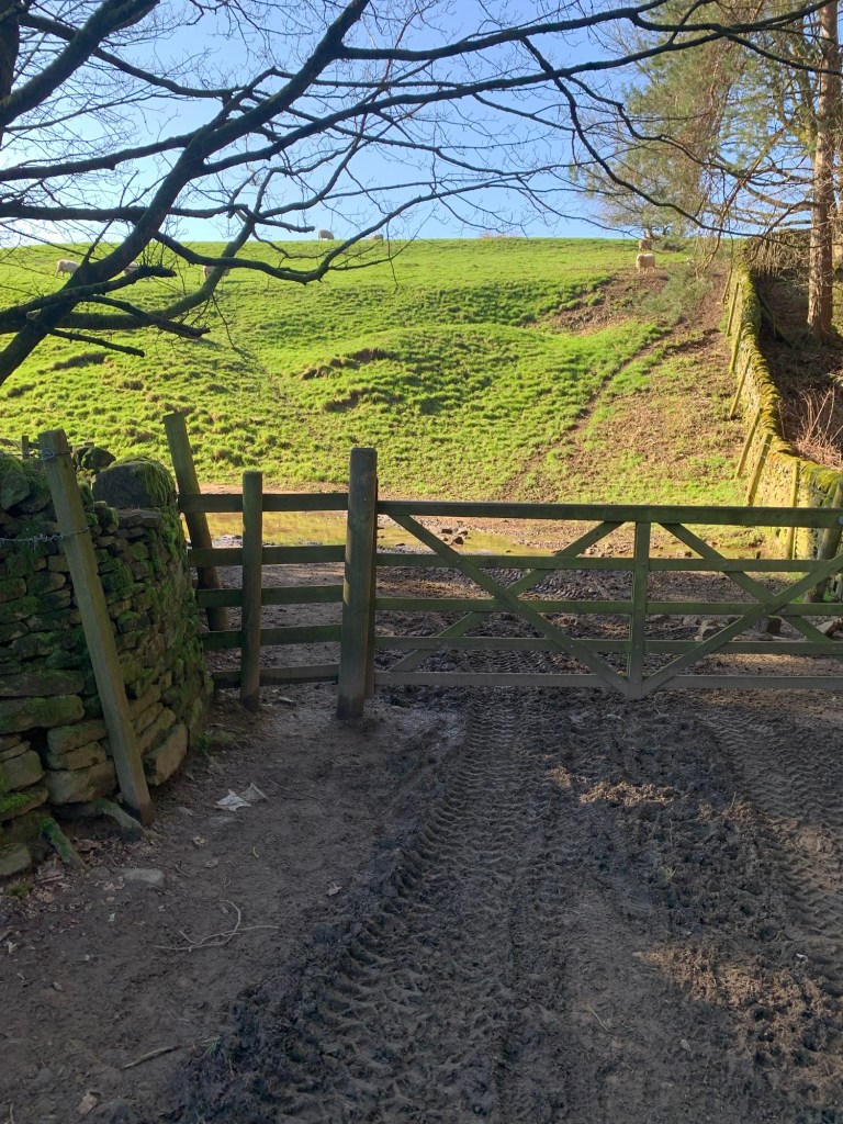
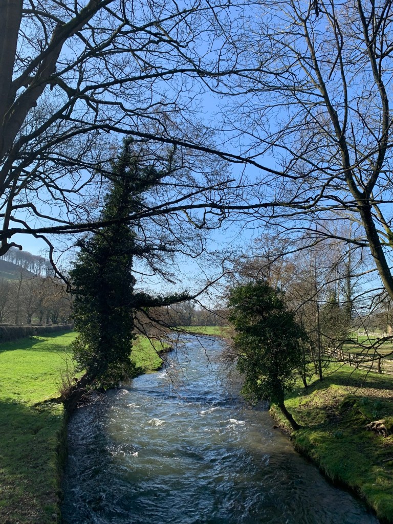
There’s a gate and a stream running under the path which now briefly becomes a track which we follow as it bends to the left
before heading right and steeply up our next hill of the day.
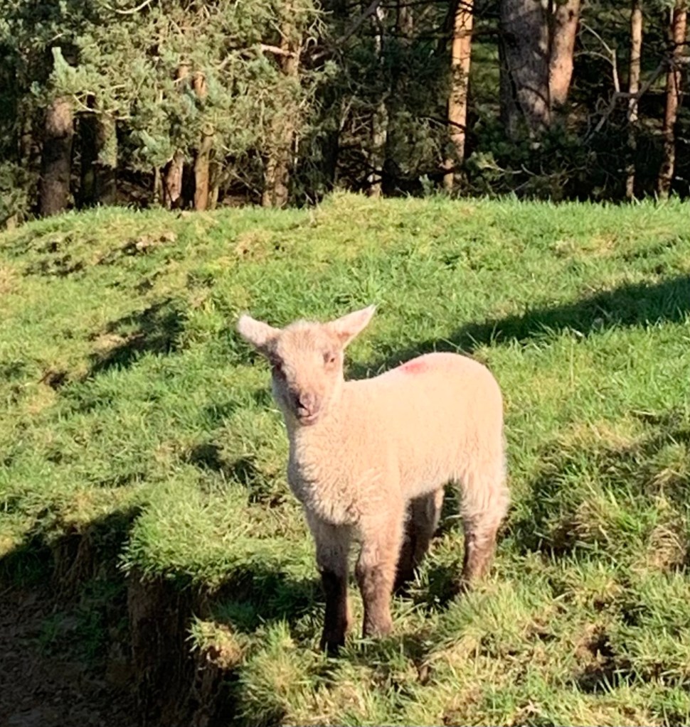
There’s a huge flock of sheep spread out across the hillside. Many have their new lambs with them which is very sweet and as usual at this time of year soon has us vowing never to eat a lamb Rogan Josh ever again.
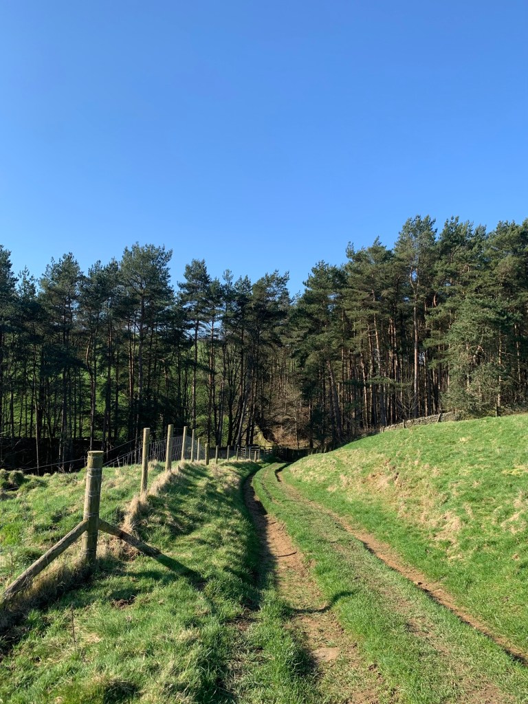
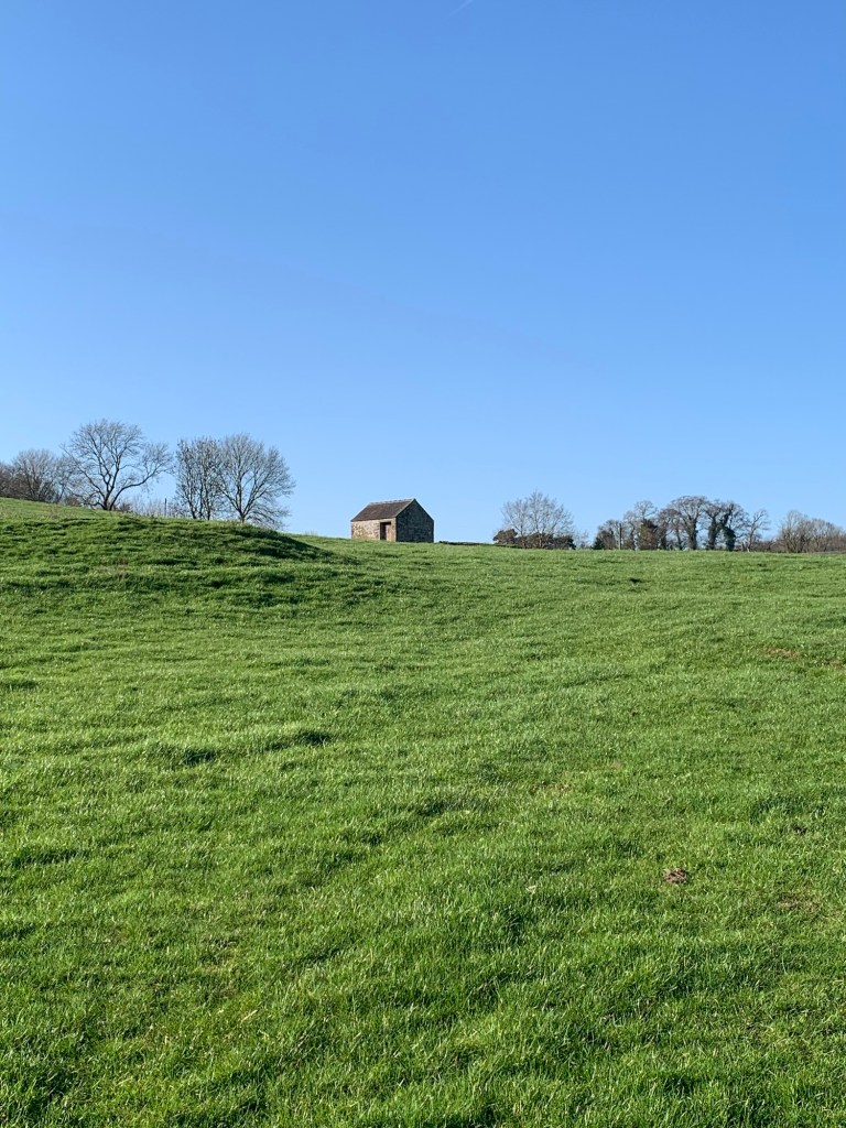
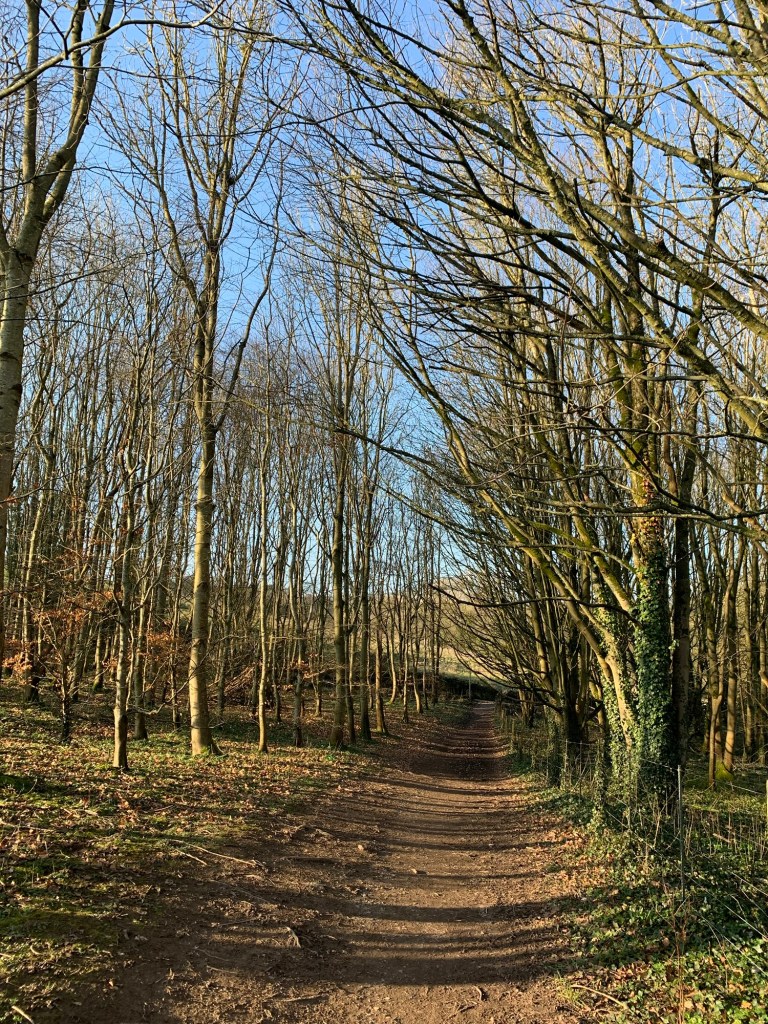
It’s quite a steep climb up to the next wooded area and again it’s not particularly defined so we just head for the gate we can spot ahead leading into the next area of trees.
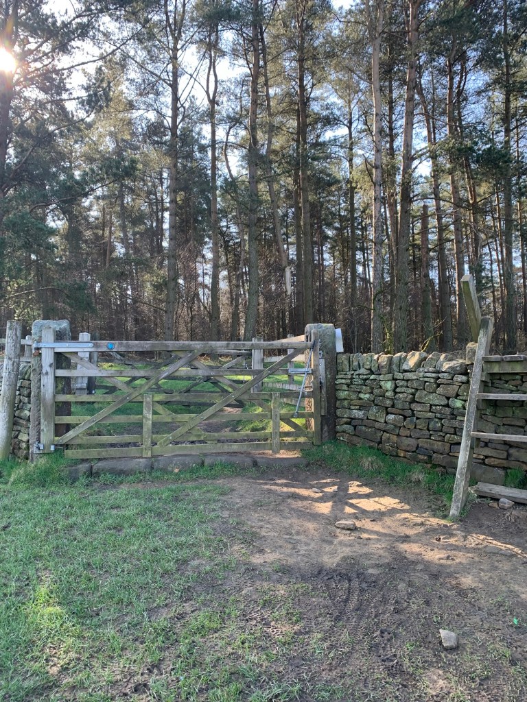
Once through this gate the path lies to our right heading off at an angle through the wood.
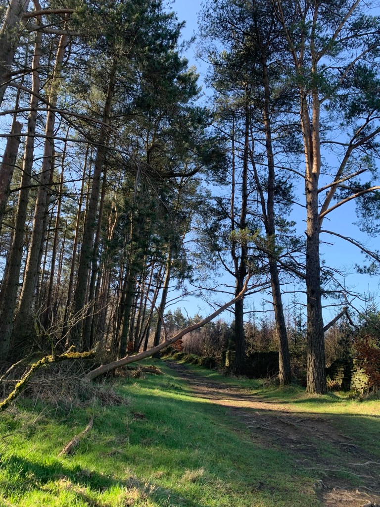
It’s clearly well trodden and soon bends left continuing through pleasant woodland
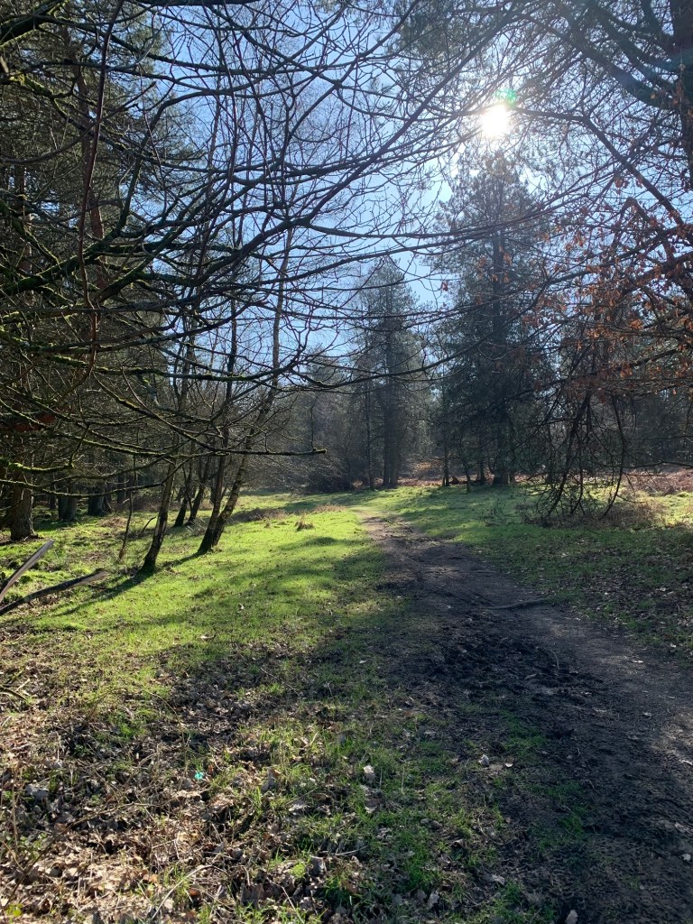
( mainly larch I think) and not so thick as to stop the sunlight filtering through. We are surrounded by birdsong. It’s slightly muddier through this section but nothing too difficult to avoid and we’re soon losing height quite rapidly until we emerge onto a broader track and a sign which tells us we’re now on Haddon Hall territory.
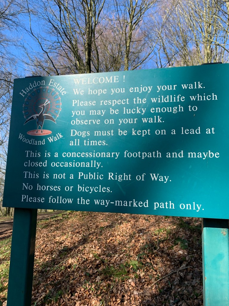
So we’ve swapped from the Cavendish’s to the Manners’ domains and we reckon we’re now probably more or less on the hillside directly behind Haddon Hall, not that we can see anything to prove it.
We’re pondering on the contrast between the very visible house of the Devonshires and the more secretive, hidden away nature of Haddon Hall when we glimpse an unusual view of Bakewell through the trees over to our right
and then emerge onto a junction of paths and signs.
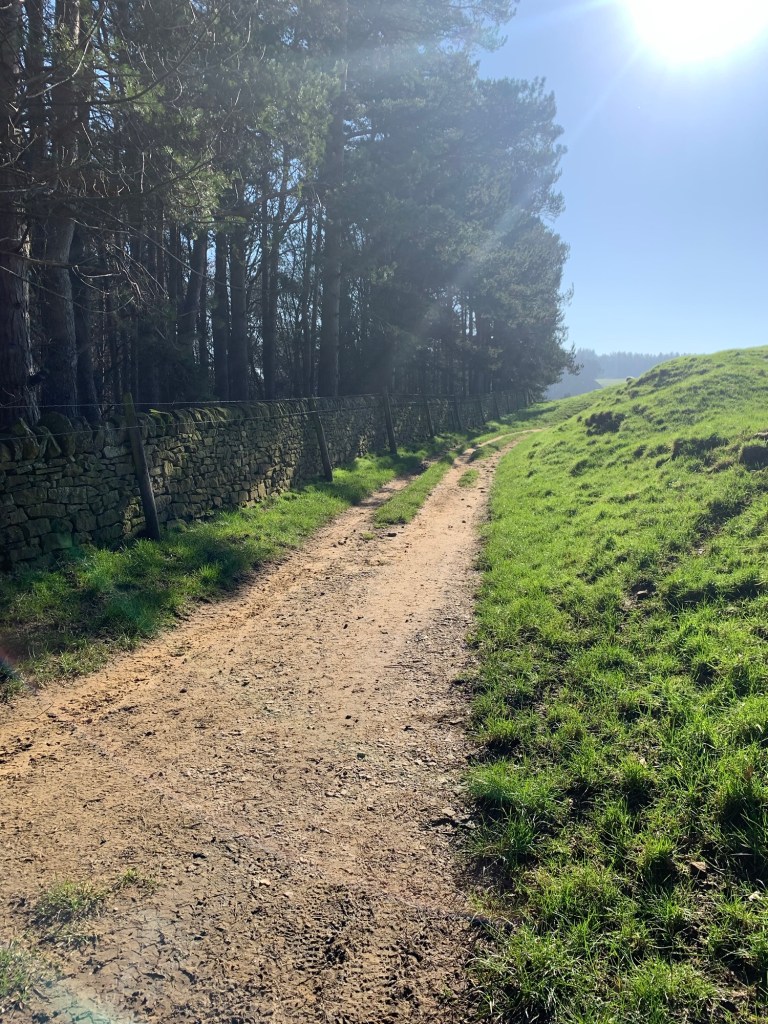
We do not want to head towards Bakewell and neither do we want the track straight ahead. Instead we need to turn left along a well-made track which initially has us feeling as though we’re going back on ourselves.
However, very soon we are treated to spectacular views on our right with Rowsley below us and further afield we can see a good way down the Derwent Valley.
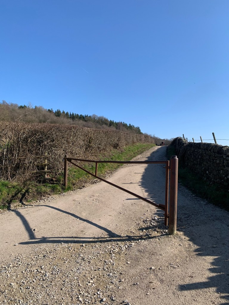
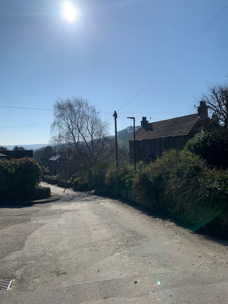
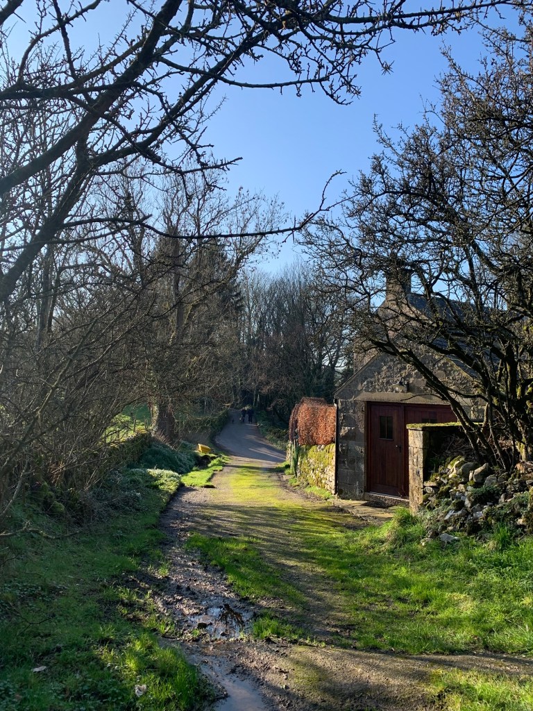
It’s a straight-forward descent as the track becomes a lane
and then a road as we reach the village
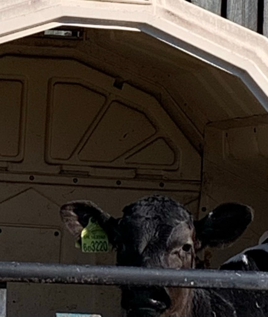
and just before we arrive at the Post Office we pass a number of very new looking calves each in its own little shelter ( and proving quite difficult to photograph.)
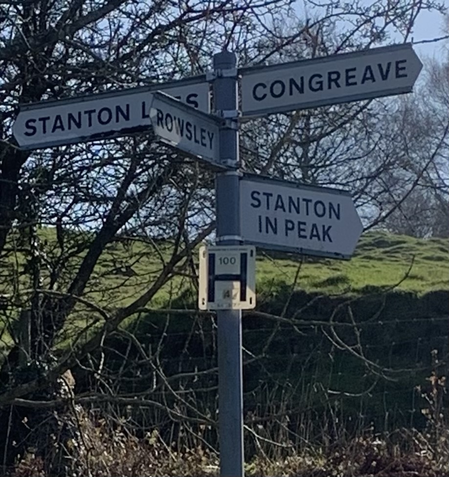
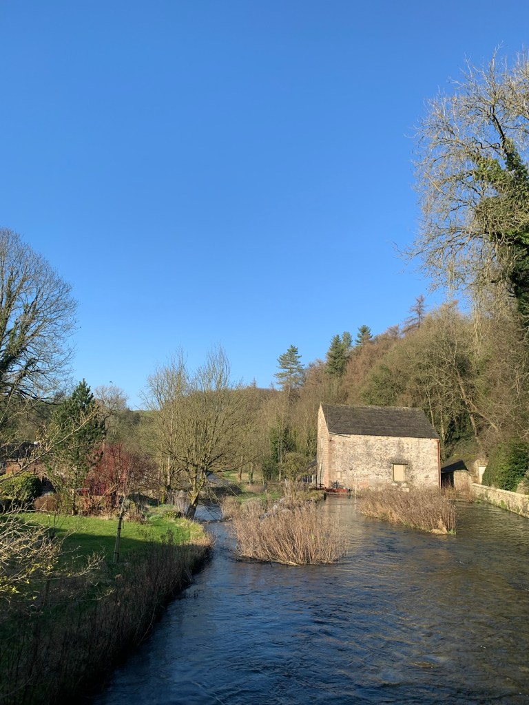
So here we are at Rowsley, our R for today’s walk.
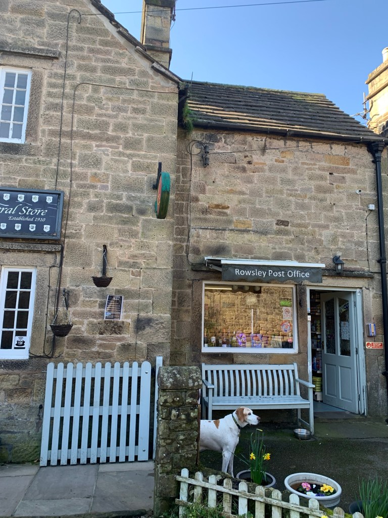
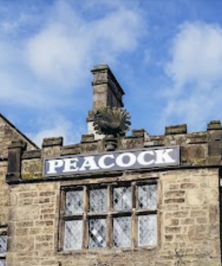
Besides the post office and new calves, Rowsley also has a couple of pubs; the rather splendid 17th century building of the Peakcock with its amazing stone peacock, ( which features in the crest of the Manners’ family) above its name,
and the more budget friendly Grouse and Claret. It also has a school which we’ll be passing shortly and the old flour mill ( about which more later)
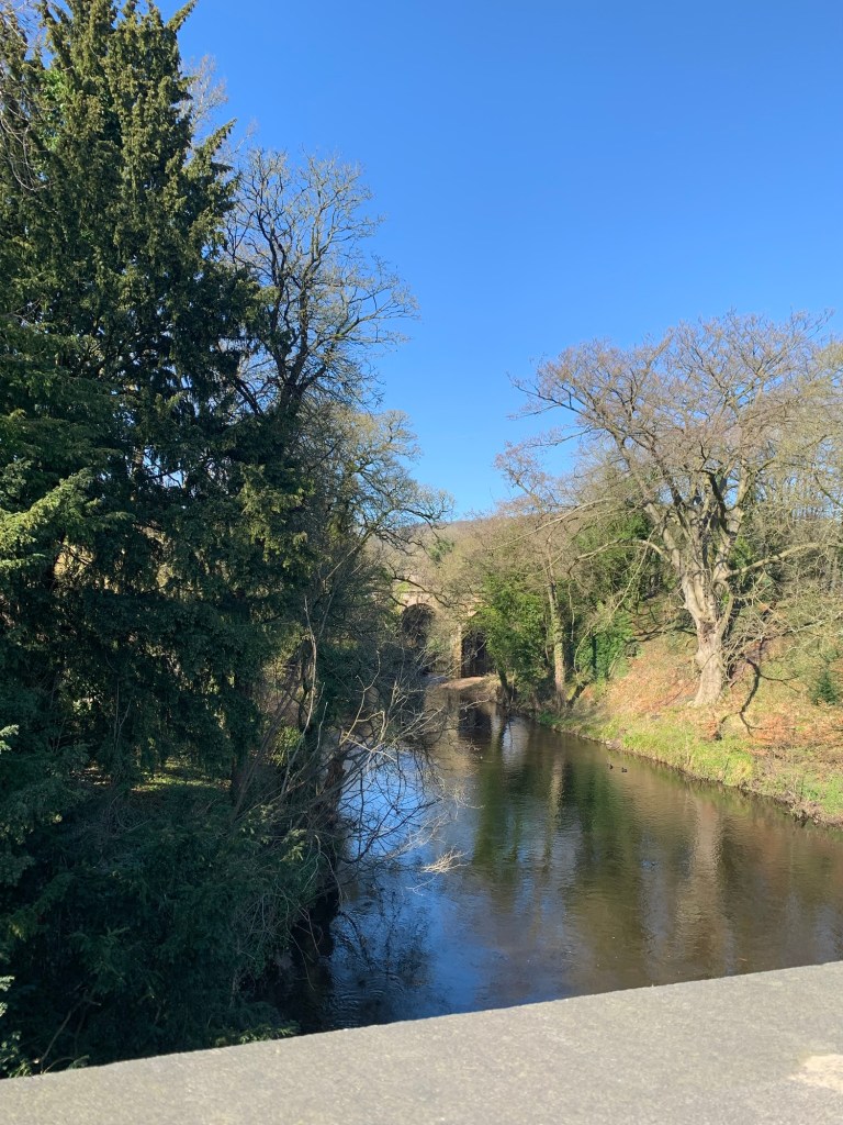
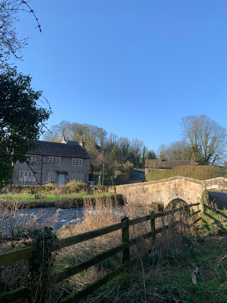
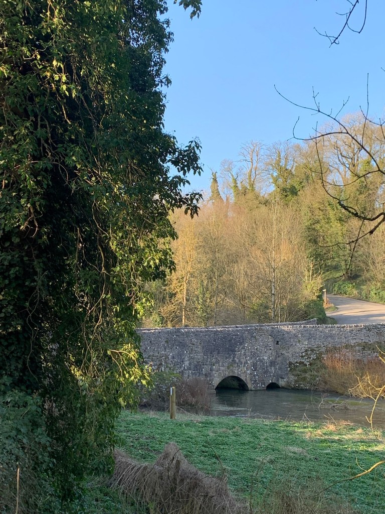
Rowsley is built around the confluence of the Wye and the Derwent thereby marking the end of the River Wye’s journey down from Buxton
and its other claim to fame is that around Christmas time you could well see a certain bearded fellow in a red coat chugging past on a steam train.
There’s also the peak village outlet built in 1999 around the old station building and housing various shops and a number of cafes.
We head over here for a cuppa and for some reason choose Masarella’s. Sadly it’s not the best decision we’ve ever made; although the tea is in a proper pot the panini melt is a bit like trying to eat shoe leather. Perhaps it’s just bad luck, they are extremely busy as we seem to have timed our arrival to coincide with a coach party. At least this has the temporary effect of making us both feel very young and sprightly ( everything’s relative) but all in all, we’re glad to get back outside again as soon as possible, making a mental note to try elsewhere next time.
Making our way back over the bridge over the Derwent and past both the pubs we cross the A6 at the pedestrian lights and head along the lane past the school.
The road bends right after the bridge over the Wye
and we can see the buildings of Caudwells Mill over the other side of the river.
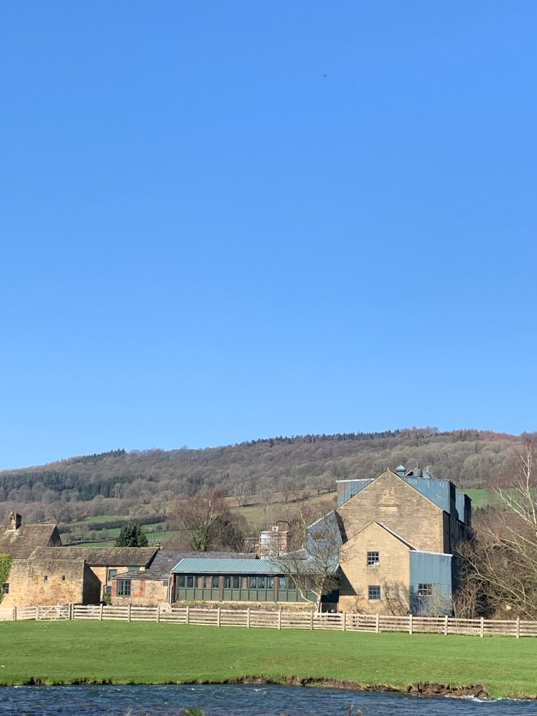
This used to be a great place to visit. As a working flour mill you could see the machinery in action, buy the flour and other artisan goods but best of all you could enjoy one of the best cafes ever known to be in existence.
The mill always seemed popular and well supported but sadly it met it’s demise a couple of years ago and unless it’s rescued and put back on its feet sometime soon I guess it’s just going to have to stay as a memory. But the latest news is that the flour shop has secured a new lease of life so fingers crossed for the rest of it.
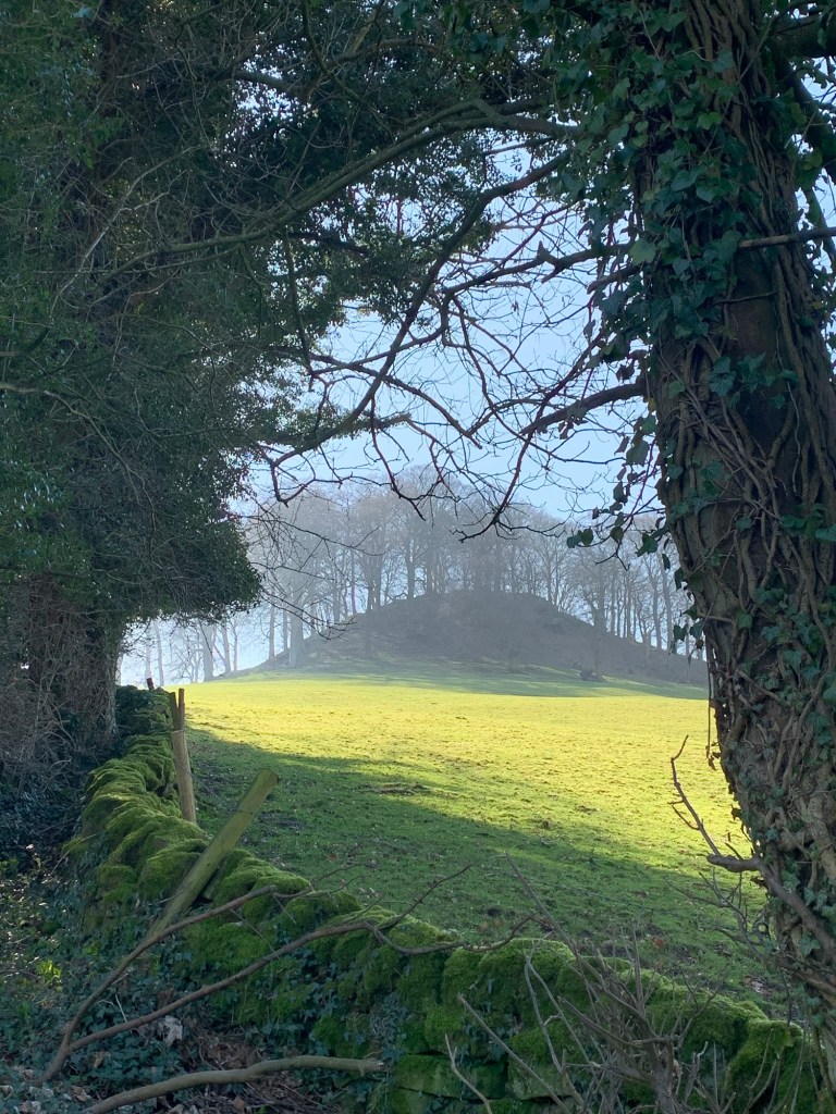
We’re soon climbing up a pretty steep hill with an amazing conical hill, Peak Tor on our right. There’s evidence of a ditch surrounding the mound and it’s thought to have been a Celtic settlement.
We can see Two Dales on our left through the trees and in the valley bottom the engine sheds for the steam railway.
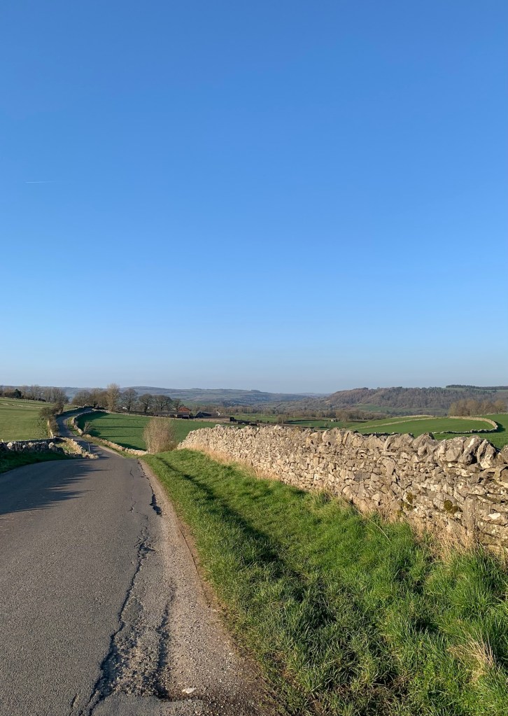
At the hamlet of Pilhough there’s a junction with a large house on our left and we follow the road signed for Stanton in the Peak.
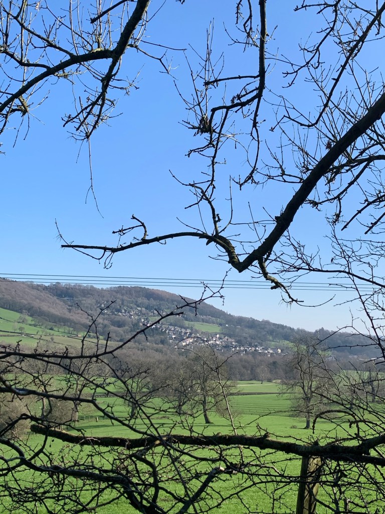
Now the views start to open up in the opposite direction along the valley, giving us a spectacular sighting( at last ) of Haddon Hall, and Bakewell further afield.
We pass a lovely old stone viewing point built onto the side of the road and from here we can also spot Youlgreave, Alport and Over Haddon. Absolutely spectacular and we couldn’t have chosen a better day for views.
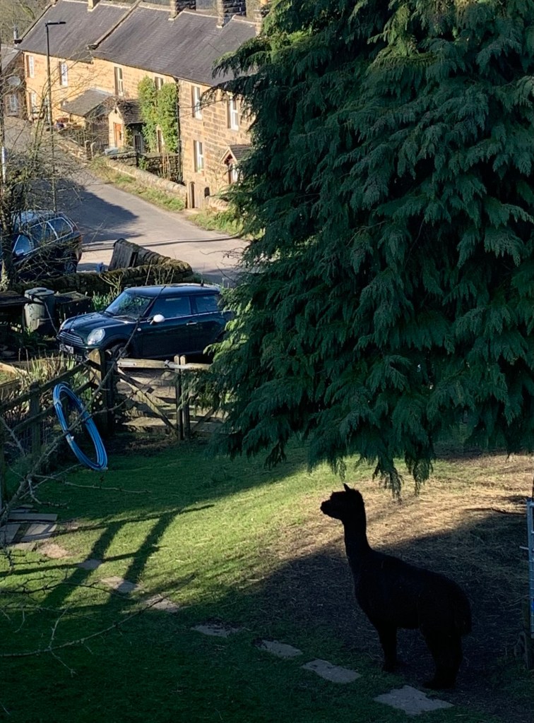
Before arriving alongside the church yard at Stanton in the Peak we also spot a cheeky alpaca to add to our catalogue of today’s fauna.
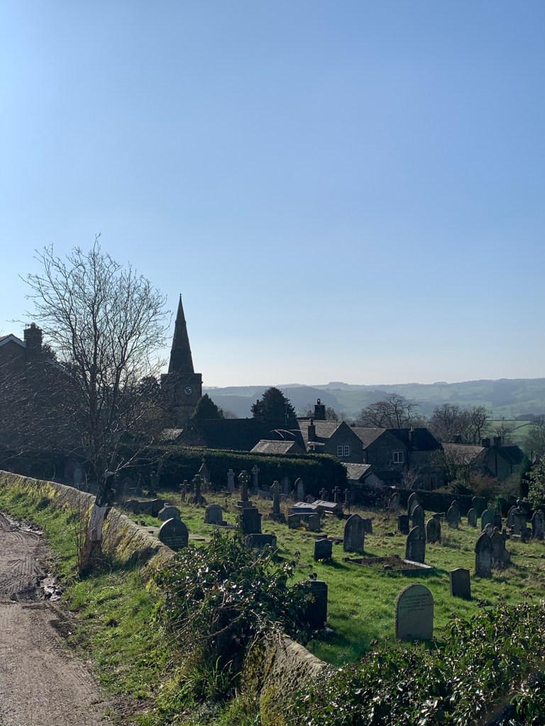
Stanton in the Peak is an historic village with an interesting collection of dwellings ranging from small cottages to a stately home.
At the village green we head downhill to the right past a variety of dwellings, the village school and an extremely interesting old pub on our left which we decide to investigate further.
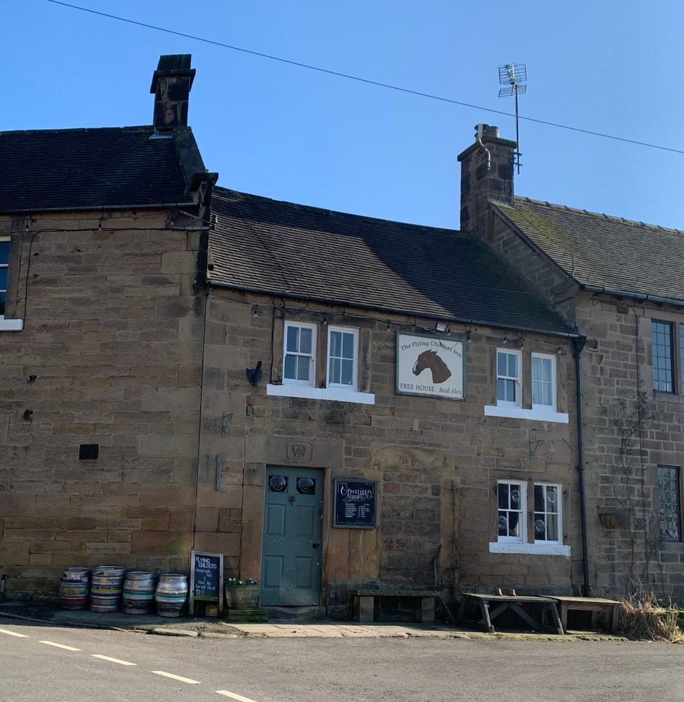
The Flying Childers has authentic atmosphere in spades and also happens to sell draught Bass so it more than makes up for our previous stop….we just wish we’d come here to eat too!
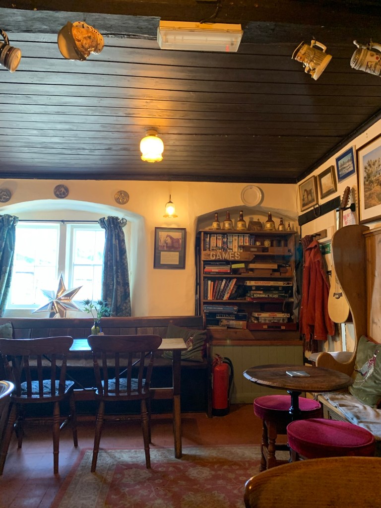
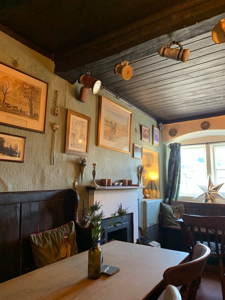
Apparently it’s named after a racehorse belonging to one of the Dukes of Devonshire and dates back to the eighteenth century when it was formed by knocking four cottages together into one.
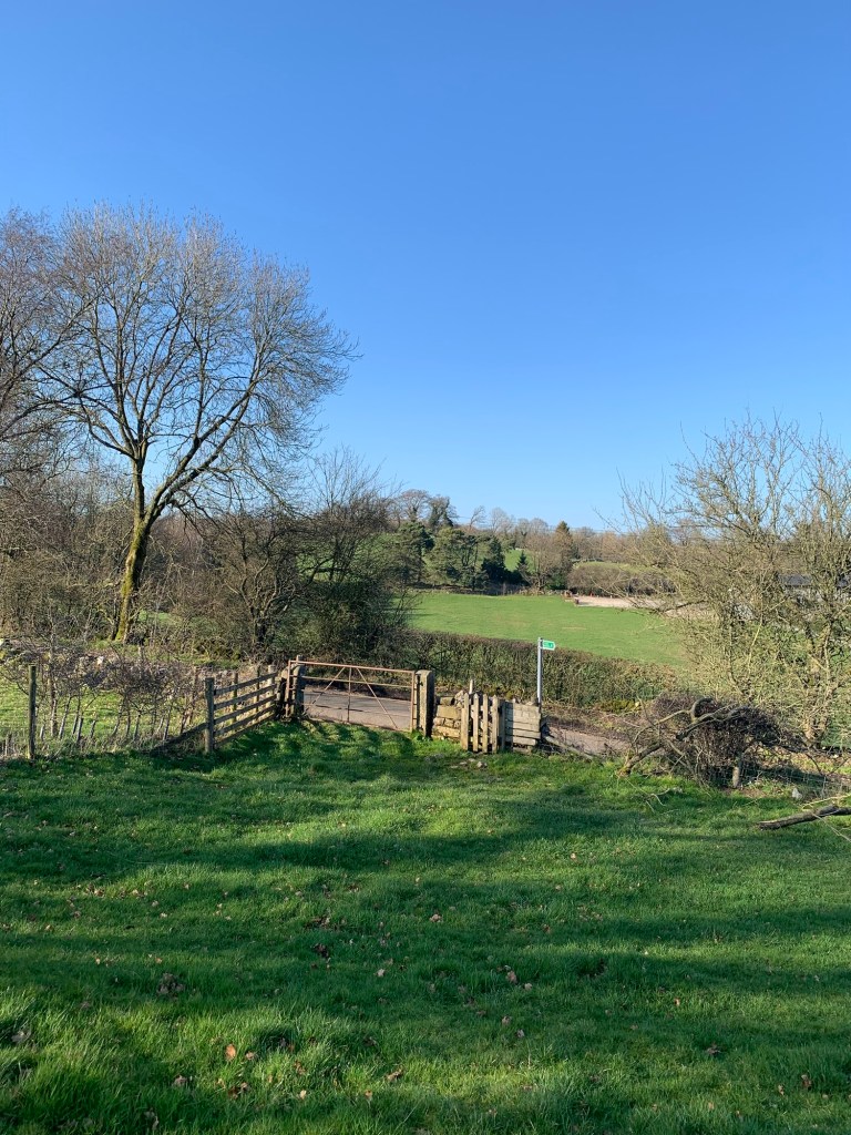
After discussing various routes which could bring us back this way again soon ( could we really justify coming again next week for a possible S for Stanton in the Peak?) we drag ourselves away and continue heading downhill to a T junction with a footpath opposite.
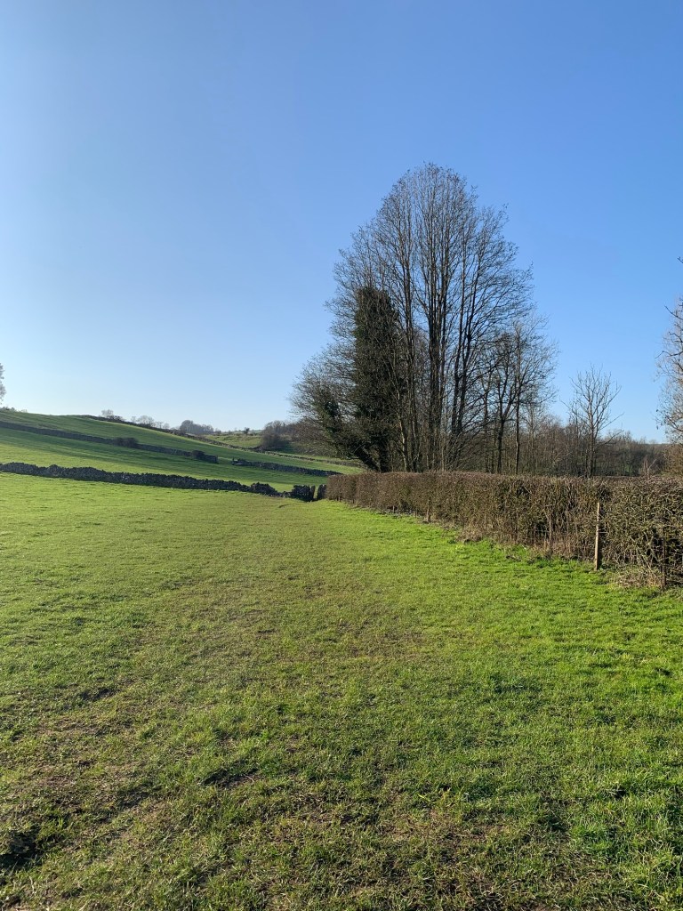
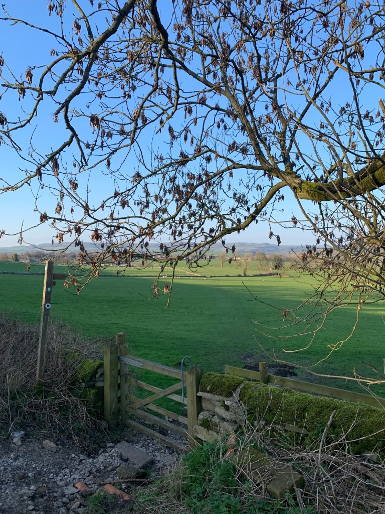
We’re on a field path here as opposed to the previous parkland but it’s still grazing and co incidentally still completely undefined. The knack seems to be to head right slightly away from the stone wall, pass roughly mid way between a ruined barn on the right and a much smarter affair on the left and once over the crest of the incline to head for an obvious green finger post and gate onto a lane.
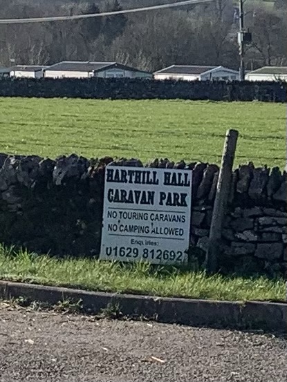
Then it’s simply left along the lane until we reach a static caravan site on our right. There’s a footpath through the site on the right, but we continue a few metres further along and turn right along the driveway.
Partway along the path branches off left
and we pass through a series of hilariously narrow stiles over the next few fields along an obvious path.
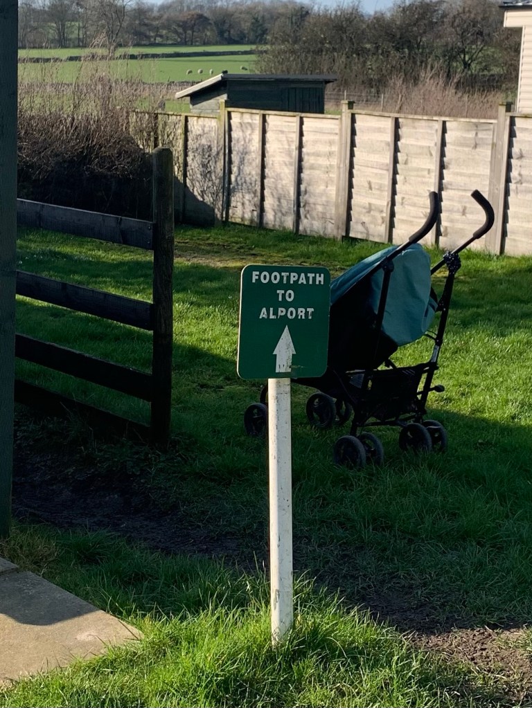
Assuming you’re not permanently wedged partway through a stone wall for the rest of your days, the path emerges onto a lane
and then it’s right and downhill to the pretty bridge over a very turbulent river and here we are in Alport.
What a lot of lovely villages there are around here.
Once across the bridge it’s probably best to turn left but either way will soon join Alport Lane, the main road to Youlgreave.
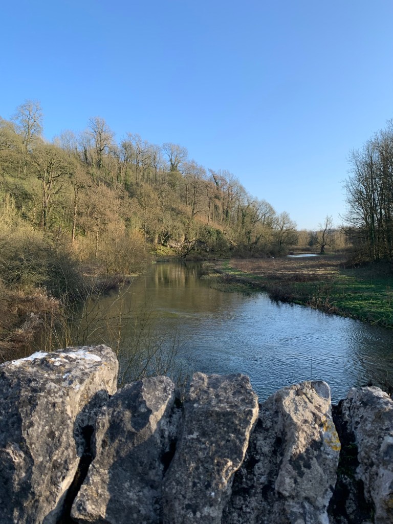
Crossing the road at the phone box we marvel again at the swollen river, the River Lathkill which we now follow alongside heading towards Over Haddon.
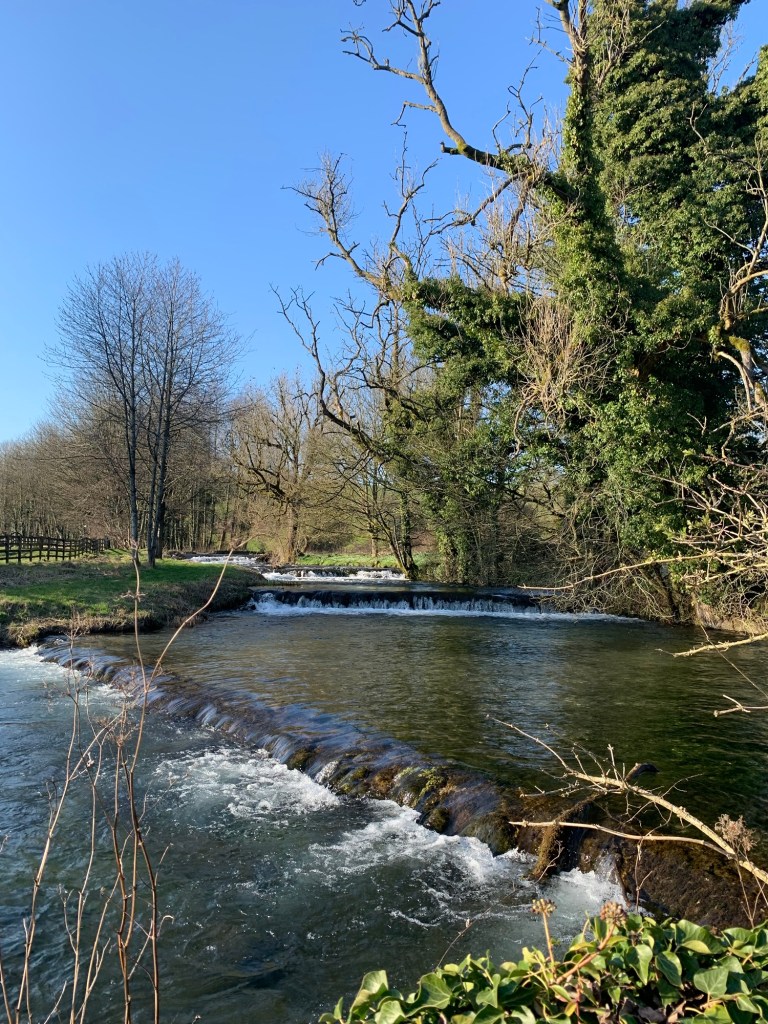
In character with many rivers in limestone areas the Lathkill can completely disappear in places at some times of year, but it’s well and truly in evidence today. Even when we can’t see the river as we walk along, we can certainly hear it.
There are various options leading off the valley path that would get us back to Bakewell. The first one would be to cross the river at Raper Lodge and head up through the woods and along part of the old Portway. We were up that way not so long ago so we continue further along to enjoy a bit more of the valley path
until we reach Conksbury Bridge where the path crosses to the opposite river bank.
It’s not much further along the river until the road which heads up to the village of Over Haddon with its much recommended Lathkill Hotel offering both refreshments and views in good measure.
However we decide to save that treat for another day and we head up the road from Conksbury Bridge on the last hill of what’s turned out to be a fairly hilly day. Keeping straight on along the road
until we branch right onto the footpath to Bakewell we head off across the fields towards the town.
Soon we’re passing the first houses on Burton Edge Road,
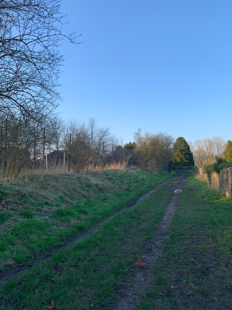
the cemetery and the chapel of rest
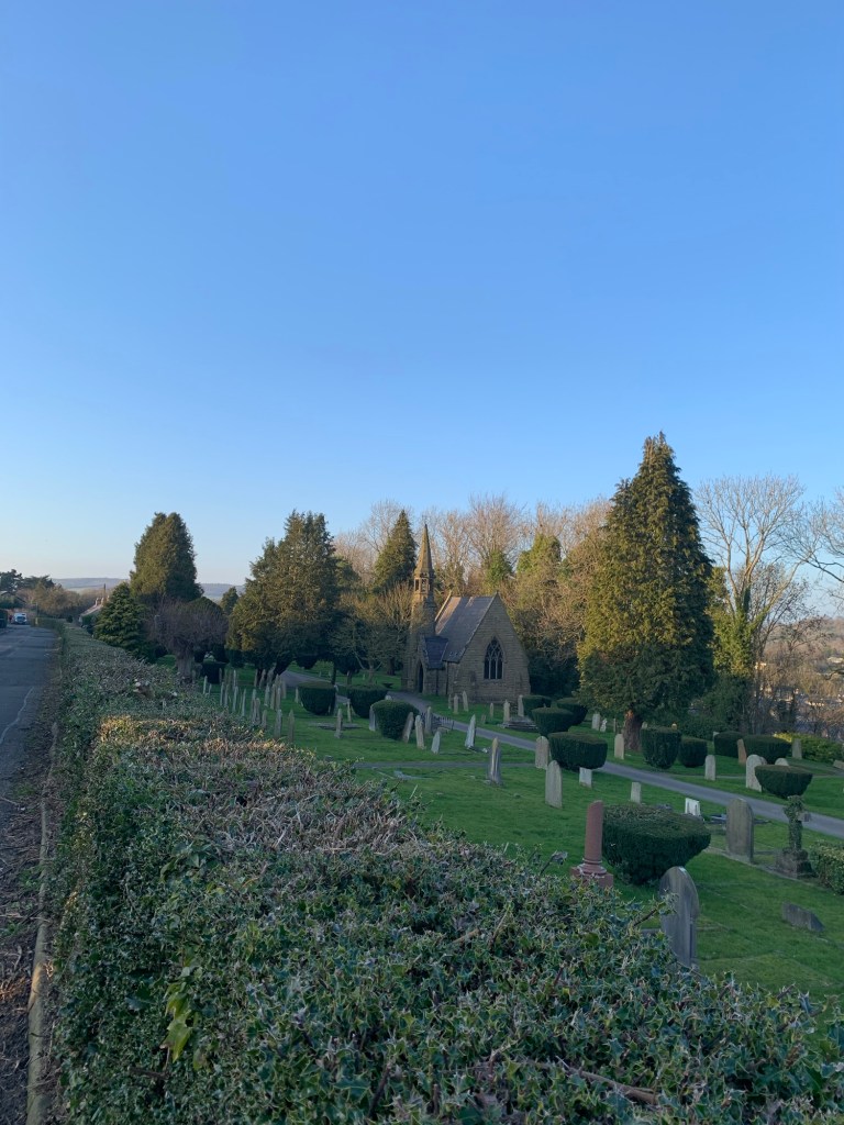
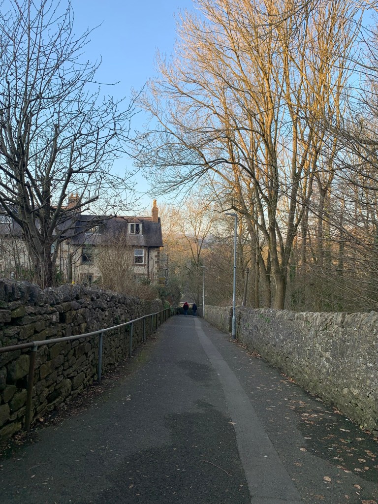
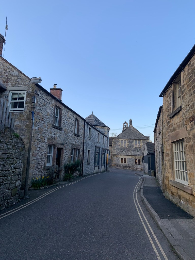
and we finish up with a characterful descent down Butts Road to Rutland Square and the bus stops for our journey home.
A fabulous day out with a nice mix of parkland, woodland, lanes, rivers and villages, excellent views and quite a few hills.
Transport
218 from Sheffield to Baslow
218 or 257 home from Bakewell to Sheffield
Pubs/Cafes
Baslow
Sweet Genes for a takeaway
Rowsley
Rowsley Post Office does refreshments
Grouse & Claret
Peak village various options
Stanton in the Peak
The Flying Childers
Over Haddon
The Lathkill Hotel
Bakewell
Red Lion
How far?
Around 25k
Route Synopsis
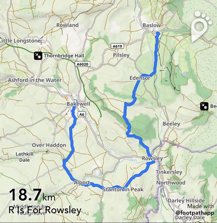
Through Chatsworth from Baslow to Edensor, across the park to Rowsley, Stanton in the Peak, Alport , ( Over Haddon) Bakewell
Should be ok for dogs but sheep with lambs wandering through the park on today’s walk….keep a lead handy at all times.
Map
OS White Peak
https://footpathapp.com/routes/DEB9D005-15EF-41E9-8C81-453F698BA8AB?units=metric

Leave a comment