
We’ll soon be wearing out the seats on the 218 bus, not to mention the footpath along the Monsal Trail!
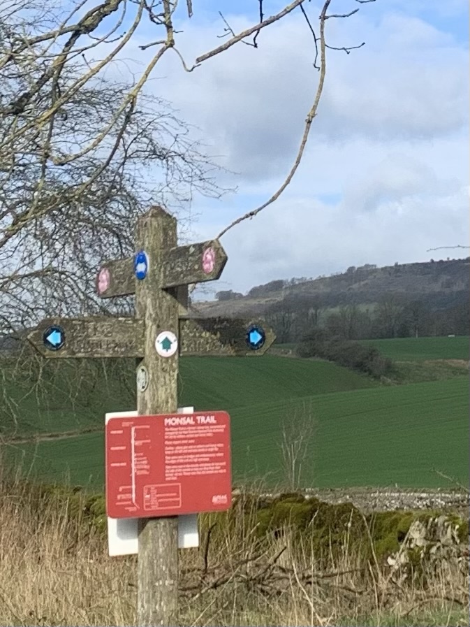
Yes, yet again, we alight at Pineapple Farm just on the edge of Bakewell and, crossing the road, drop down the steps onto the trail heading in the direction of Hassop Station Cafe.
At the signpost just past the cafe, we take the path on the right.
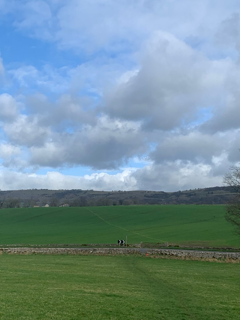
Heading down the first field and across the road we can see our next path which takes a left diagonal across a field of young mowing grass. It seems to have been conveniently marked out for us by the farmer with weed killer; just follow the yellow stripe and you can’t go wrong!
After walking through a few farm buildings at the end of the path we turn right onto a lane known as Longreave Lane until we reach a road junction where we head straight across onto the next footpath which starts as a paved track.
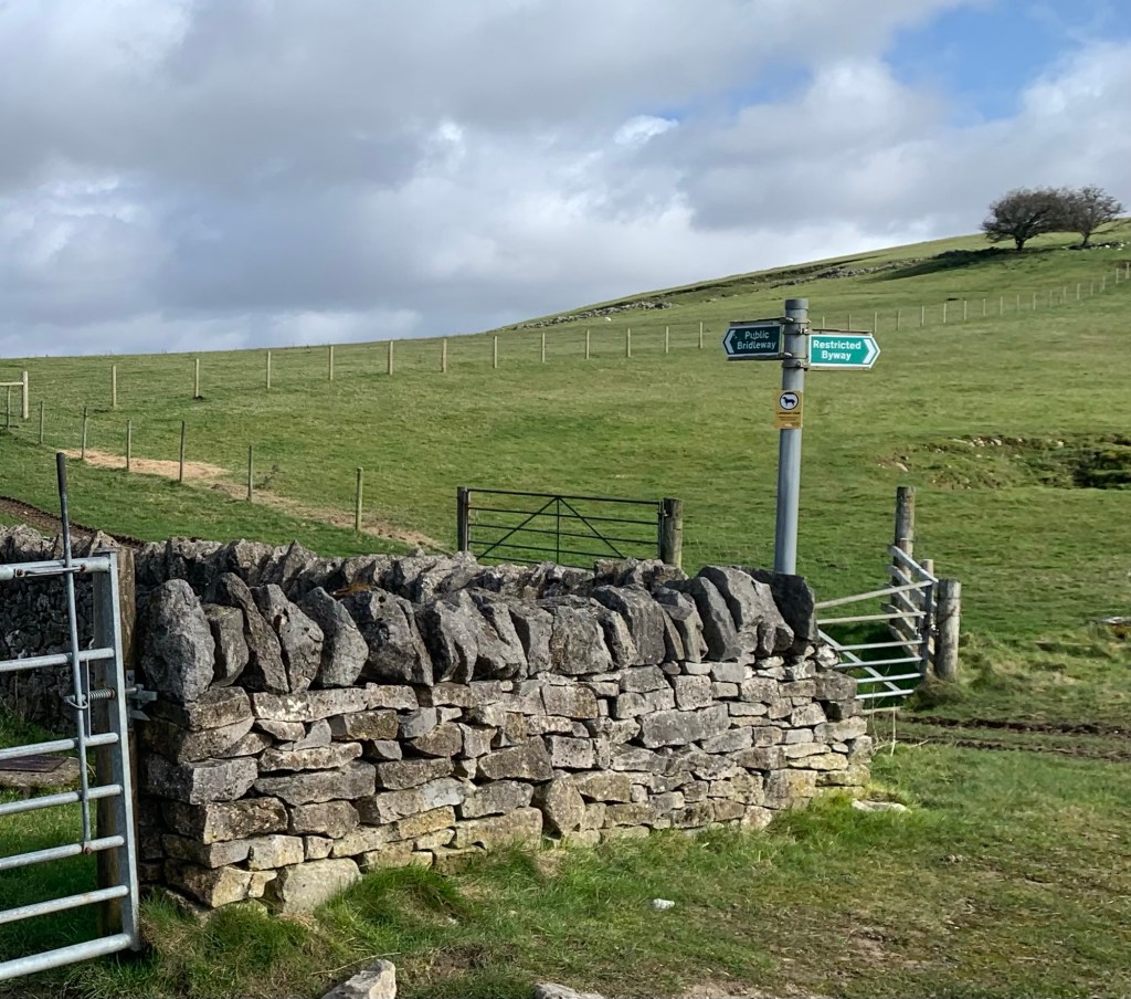
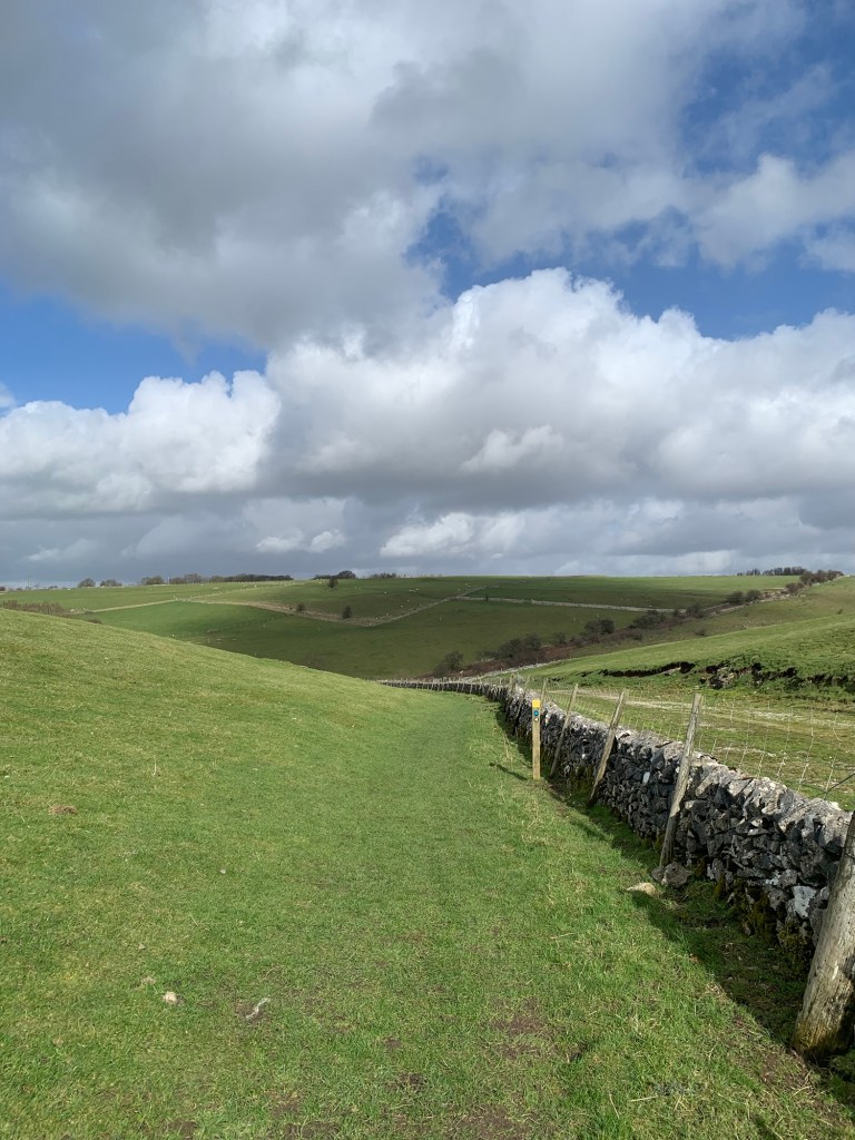
So far it’s all very straightforward but we mustn’t get too carried away on the paved track as we soon need to branch off right over a stile and head up the hill to the top of the Longstone Edge Road.
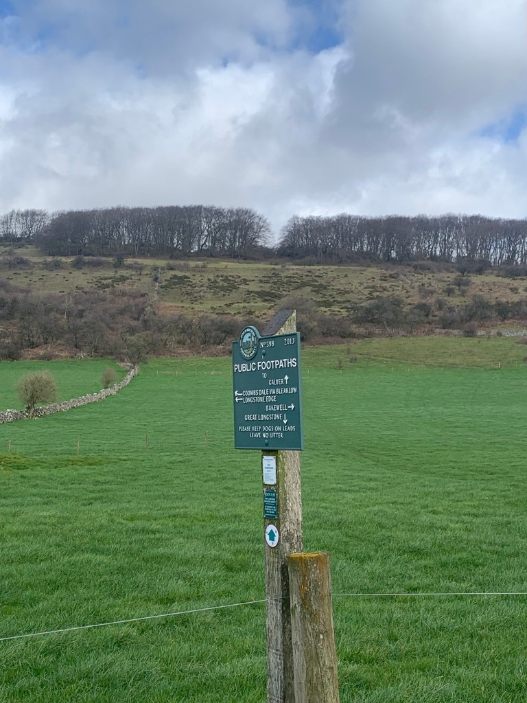
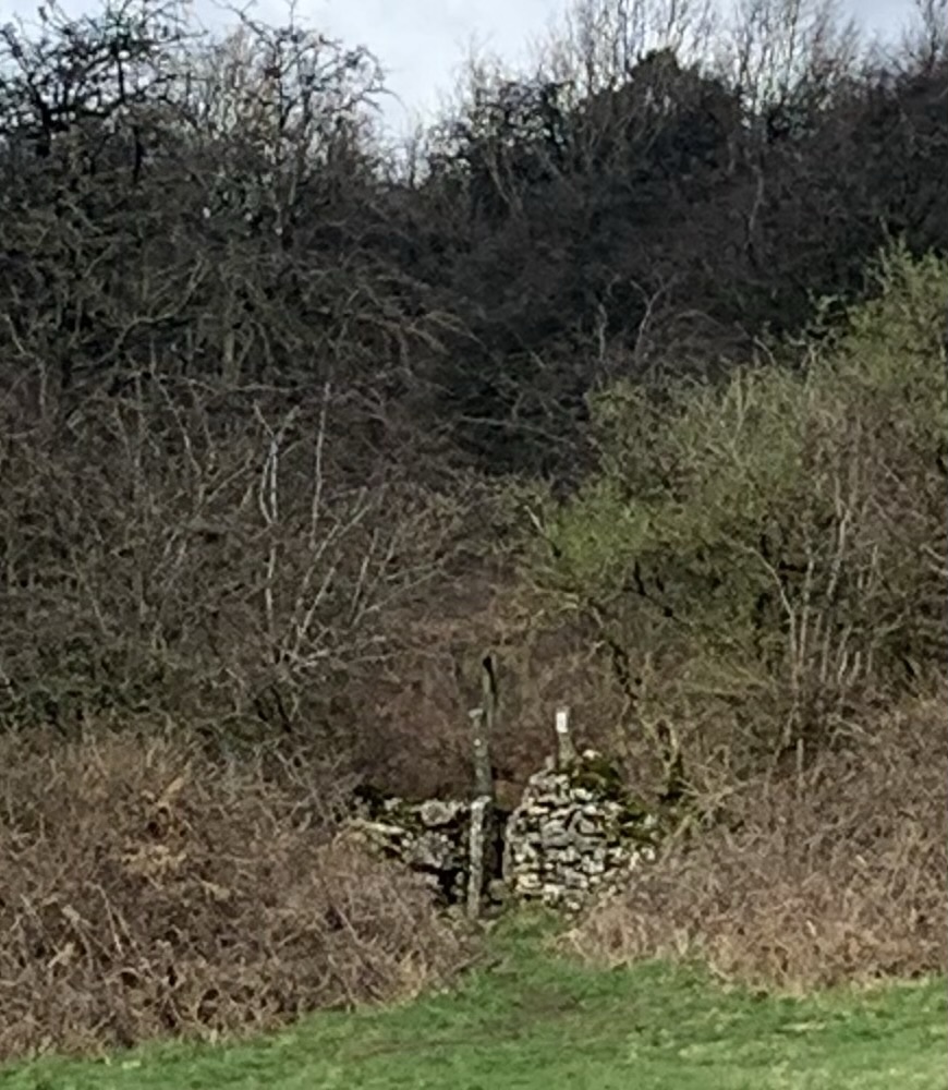
There’s a very informative square green footpath sign but it’s just past the stile we need and has it’s back towards us, so we need to walk past it to be able to read it and then come back to the stile!
The curiosities continue as our path up the hill is defined by a couple of stiles, bizarrely unattached to any fencing, but at least this makes it easy to find the way.
After the second stile it’s important to break left towards the top left corner of the field. Here, there’s a stone wall and a stile through to rougher scrub land, and a more definite path for a while.
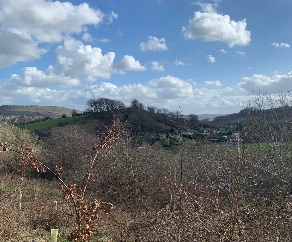
This area has a strong lead mining heritage and as usual in these places there are so many footpaths it can make for bewildering route-finding.
I have marked our way on the footpath map ( see link at the end of the post) for you to follow but I’m sure there are alternatives that will still lead you to the brow of the Longstone Edge road and hopefully provide you with as many spectacular views as we enjoyed, every time we paused for breath.
From the brow of the Longstone Edge Road our next path heads off right, for just a few metres on a track past a large green sign and then we take the path signed on the left
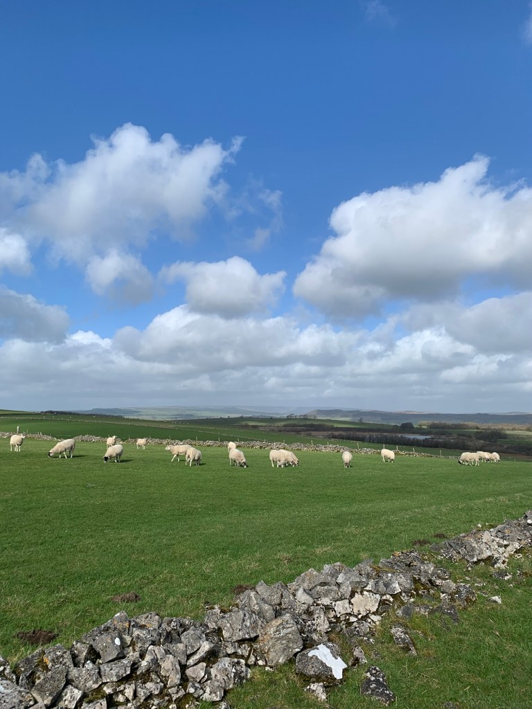
and head through an area of delightfully green grazing land being thoroughly enjoyed by the sheep.
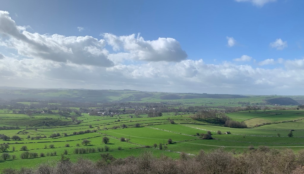
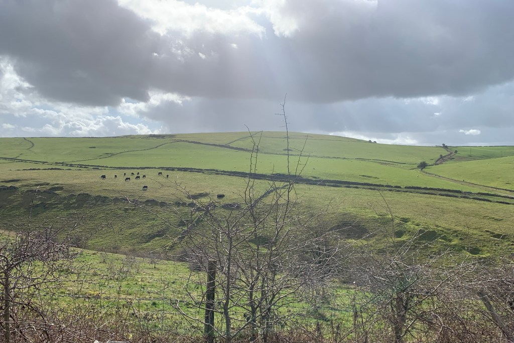
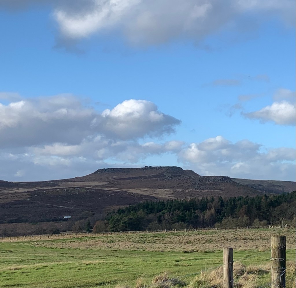
We are surrounded by beautiful limestone scenery and soon new views open up before us. Ahead we can see the white of the Barrel Inn sparkling in the sunshine in the distance on Bretton Edge and over to our left the telecoms mast on the top of the ancient mound of Tideslow.
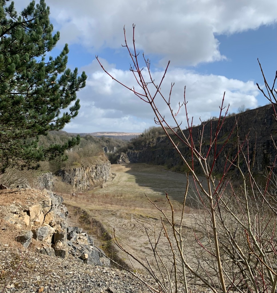
Closer to us we can see the purpose built Blakedon Hollow Lagoon below to our left.This was created in the 70s for washing fluorspar waste on the site of the old Black Harry Farm.
We head straight on and downhill towards another junction of footpaths known as Black Harry Gate, and our way ahead climbs up Black Harry Lane.
No sign of the man himself today thankfully but plenty of mentions of this legendary early 18th century local highwayman certainly live on in the place names.
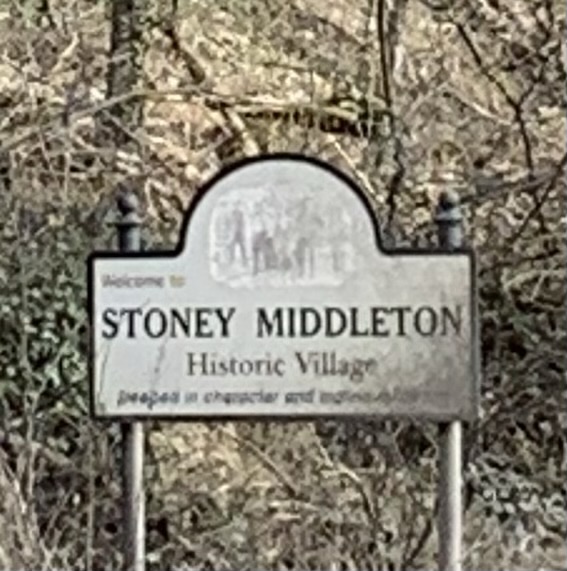
As we gain height we can look down to our right into the top of Coombs Dale. The path that winds down that steep dark dale would in fact also take us to Stoney Middleton but on such a clear and fresh day we’ve opted for maximum sunlight instead even though it means more hills.
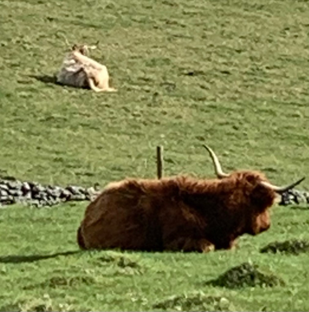
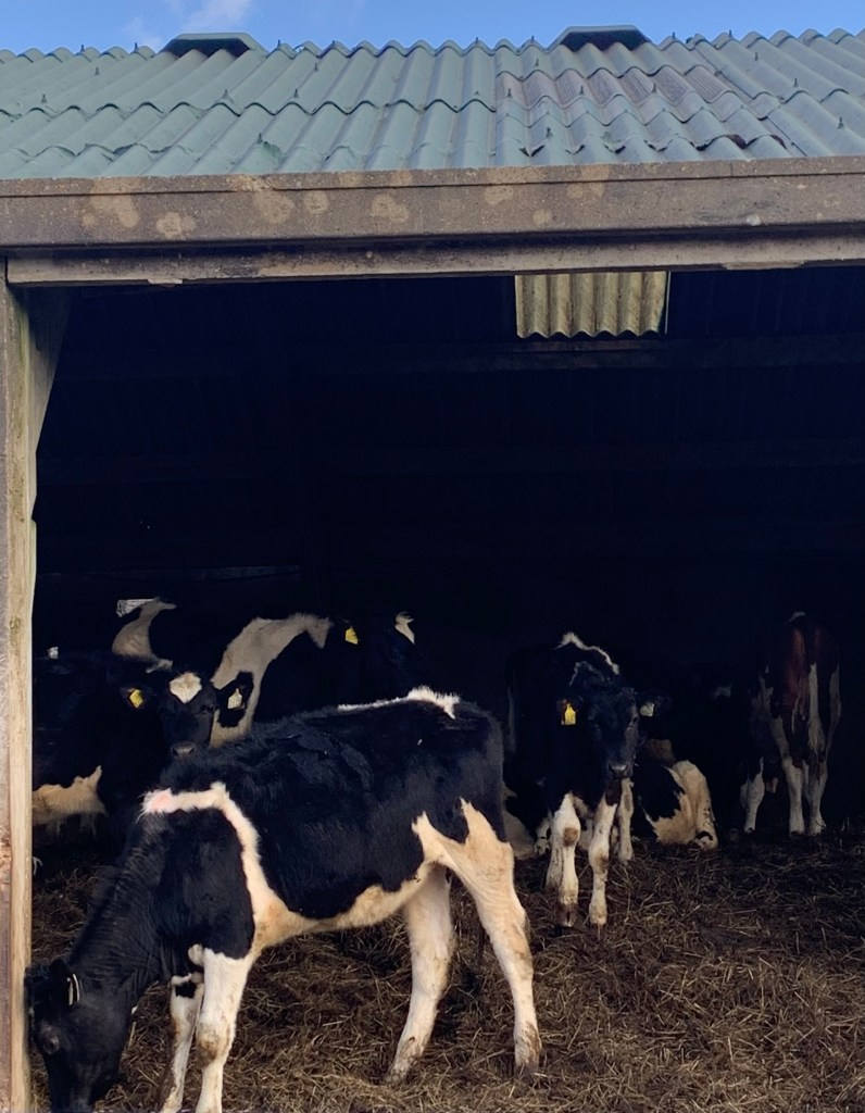
Everything looks so beautiful today, even the highland cattle look a beautiful colour in the sunlight (from the other side of the wall) but we struggle to get them to do a decent pose for us.
At the next junction with a tarmac lane, Middleton Lane, we could yet again turn right and follow this down into the village emerging at The Moon pub. However we head straight over once more, pausing to read one of a number of really informative information boards positioned in this area.
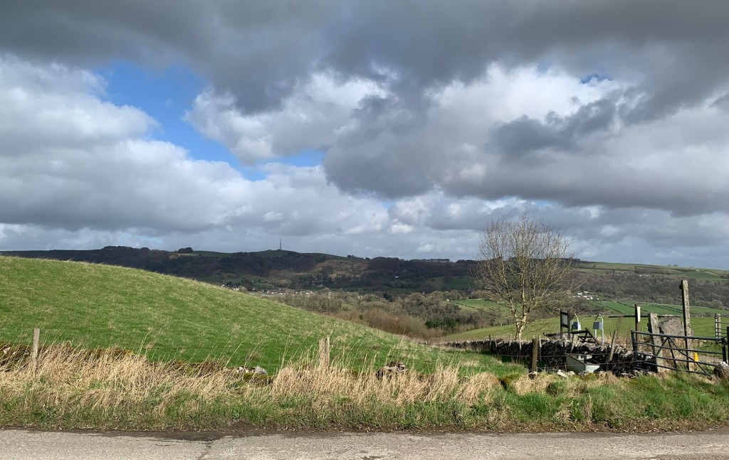
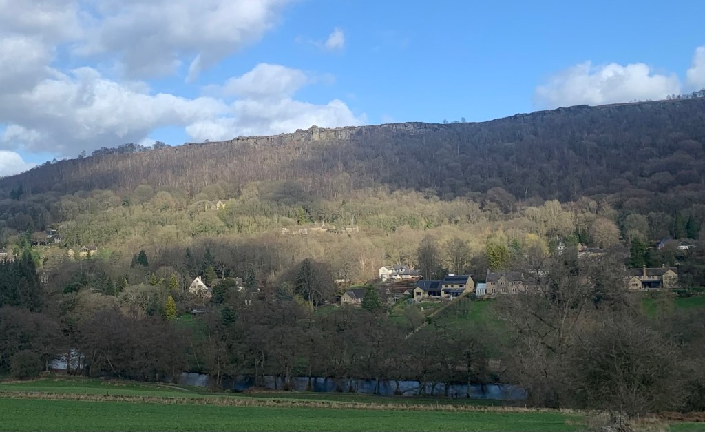
Now we have spectacular views across the valley to Eyam, even spotting the youth hostel perched on the hillside above the village and then our path heads steeply down and we’re soon passing the old Dalton Quarry on our right, which featured as the location for a train crash in the recent Mission Impossible film.
Tom Cruise was here!
My impression of Stoney Middleton back in my youth was of everything being grey with dust from the quarrying. It’s as though a veil has been lifted on it these days and there’s certainly a lot of interest that merits investigation if you take the time to explore, as evidenced by the information boards!
As we continue our descent we get some great glimpses of the limestone outcrops on the other side of the gorge that make for some serious climbing challenges. These are still regarded as some of the most difficult climbs in the UK.
The path emerges onto the ever busy A623 and we turn right towards the village.
Imagination is called for now as this would be a fantastic and atmospheric gorge if it wasn’t for the traffic thundering by. We have a crystal clear stream on our right and the limestone cliffs on our left.
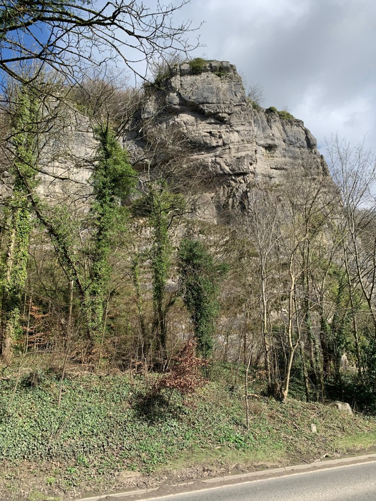
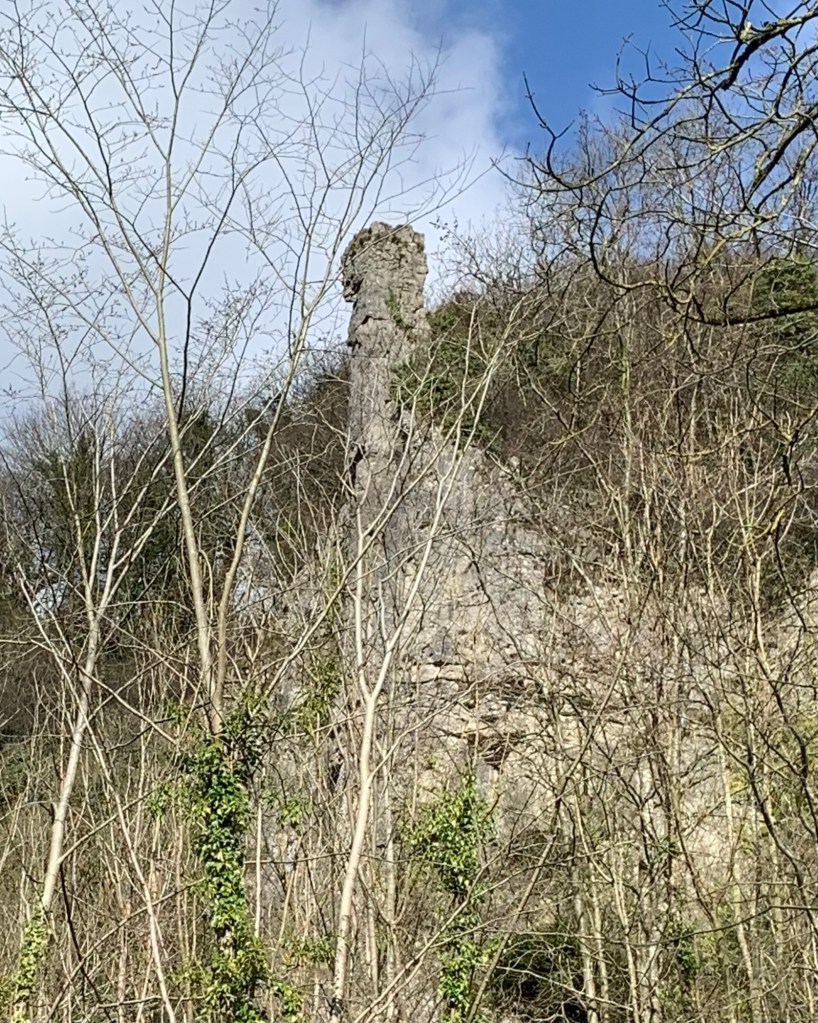
Below the crags are also some pretty serious cave systems too.
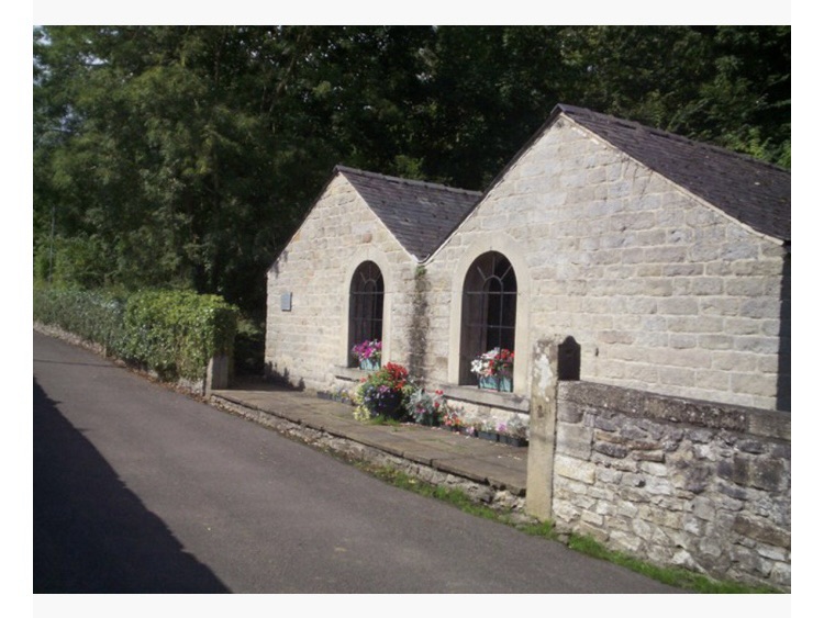
The recently restored building which houses the Cupola Cafe, built on the site of an 18th century lead smelting mill, soon appears on our right offering us a chance to refuel.
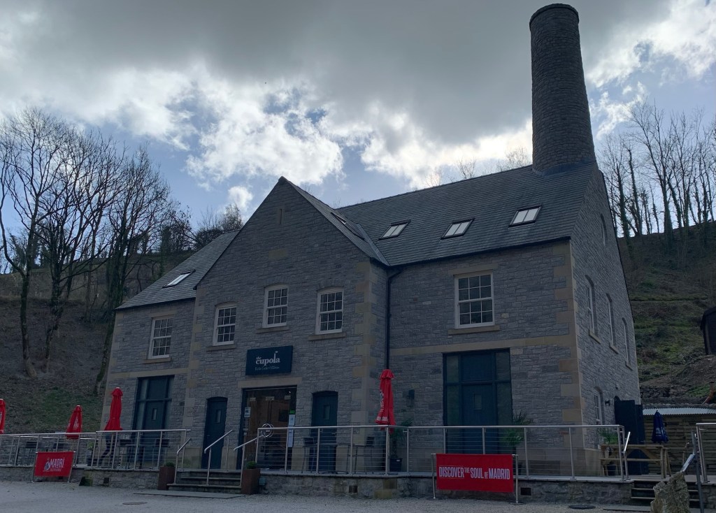
Inside is an array of yet more information boards with details of the history of the village as a lead mining, quarrying and shoe making centre. There’s definitely lots to learn about this locality.
The cafe is more like a restaurant really but we eventually find a sandwich on the menu which seems a bit pricey but turns out to be enormous. As usual we realise too late that we should have shared one between us ( but funnily enough we never seem to think of this until after the event!) The tea is in a pot and very drinkable. It’s all very fine although it’s a far cry from the old Lover’s Leap transport cafe further along the road ( now a curry restaurant), which used to be the haunt of an eclectic mix of climbers and lorry drivers ( and of course yours truly) back in the day.
As we resume our travels we pass by the aforementioned building squashed under the cliffs and named of course after the lucky escapee Hannah Baddeley who jumped from above and was saved by her skirts.
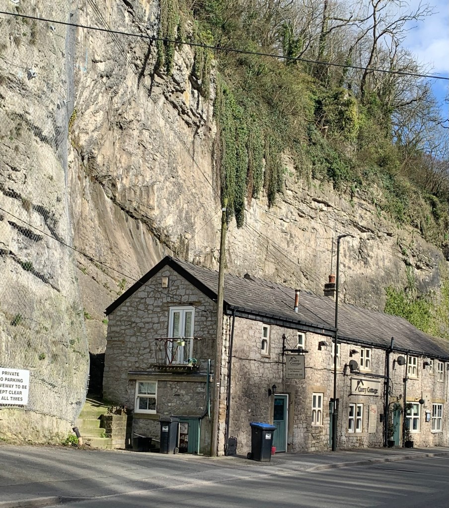
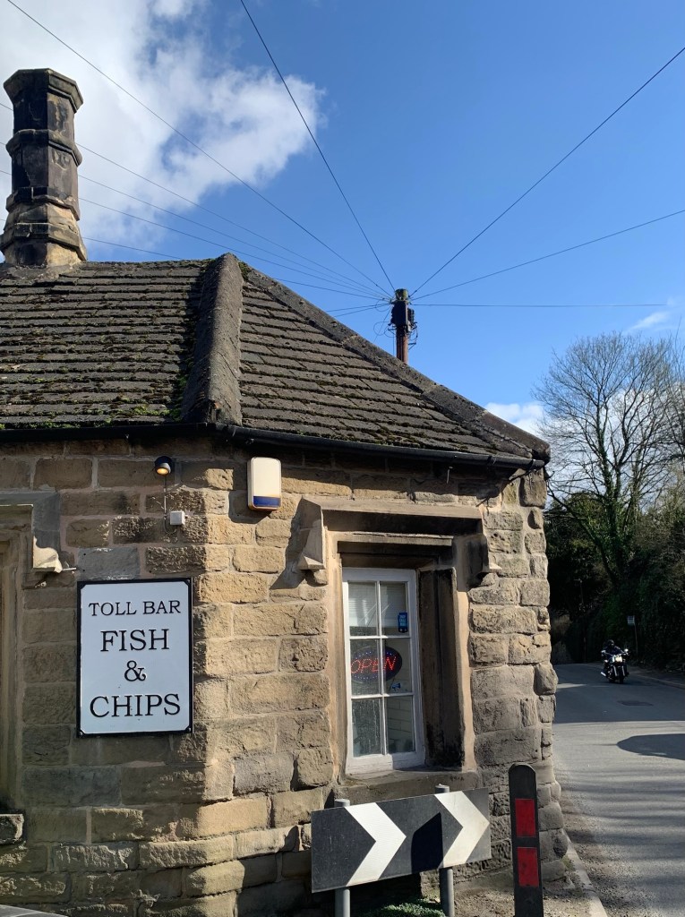
Just past, we cross the road and take the street to the left of the old toll bar cottage which has been a chippy ( and a good one too) for an amazing 100 years.
Stoney Middleton is absolutely the gift that keeps on giving!
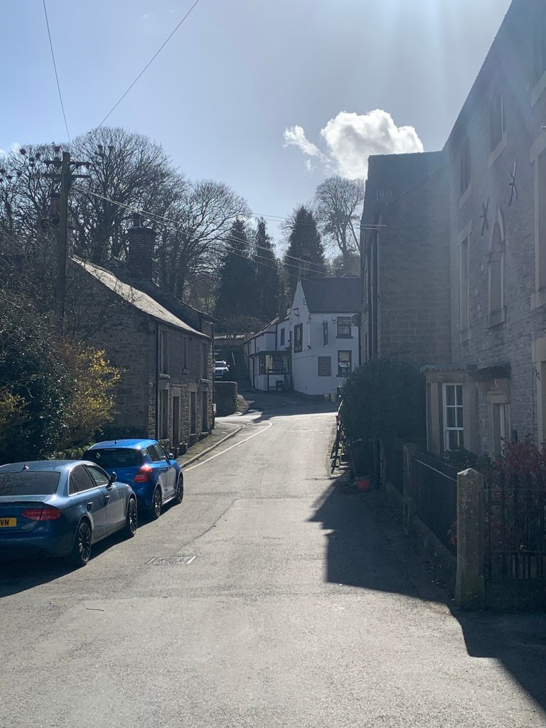
Walking along The Bank past a fascinating conglomeration of dwellings
we reach the junction with The Nook and get just a sideways glimpse of The Moon pub
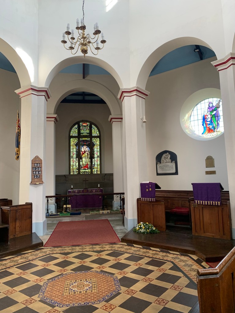
itself an historic watering hole, with a colourful history, before we’re headed for our next architectural landmark; an octagonal church, one of only two in the country.
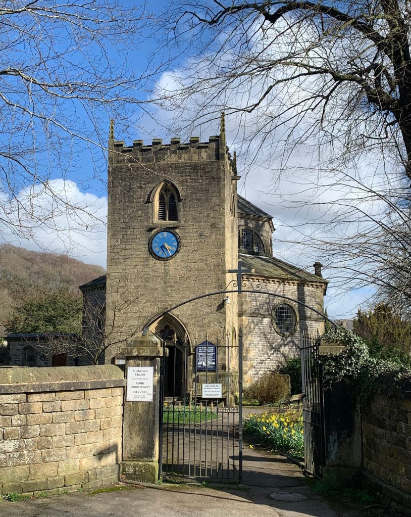
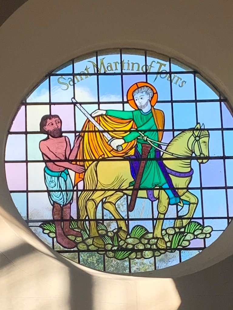
The Church is dedicated to St Martin of Tours. The stained glass window commemorates the story of St Martin dividing his cape in order to give half to a shivering beggar.
There is a lovely atmosphere inside the church which due to its shape feels light and spacious despite it actually being quite small!
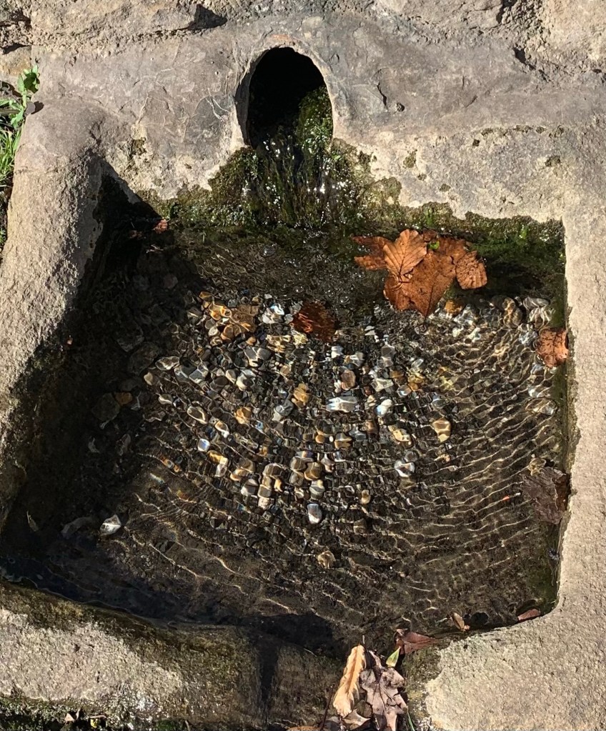
Outside again we proceed further along The Nook and pass the old Roman Baths …. not actually Roman apparently but with a thermal spring which gained a reputation in the 18th century as being more palatable and safer to drink than the more famous Buxton water.
Just past the restored bath house we reach yet another information board (!) and a junction of paths.
We go straight ahead and then after a hundred metres or so we keep left, gradually climbing away from the more obvious lower path.
Before we pass through a few trees we get a view of Calver Sough over to our right
and then continue up to Knoutchley Farm
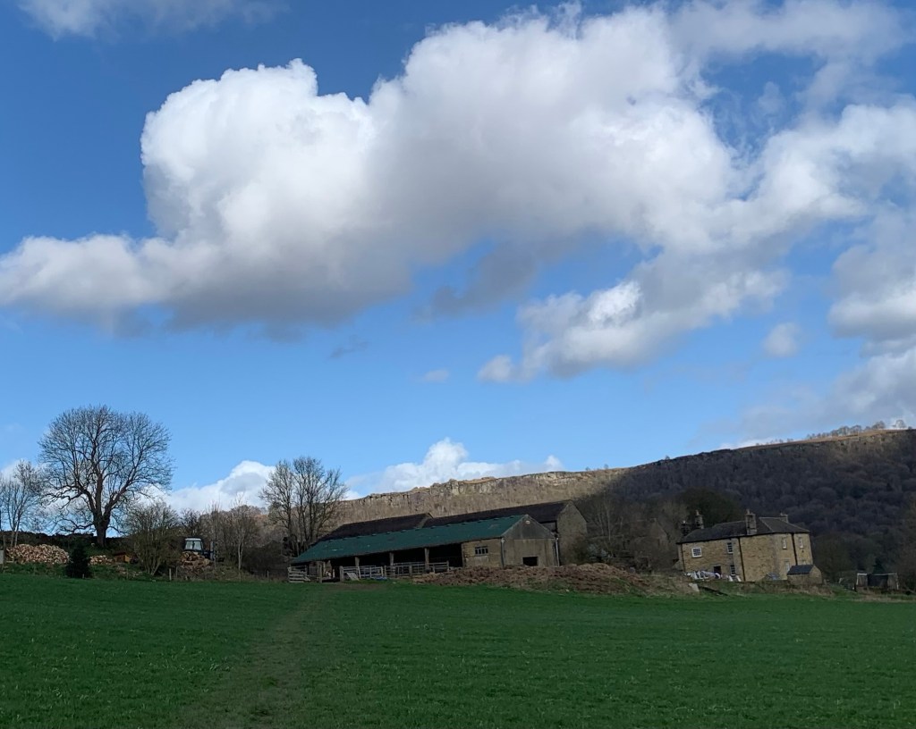
heading through the farmyard
and down the tarmac drive with fabulous views across to Froggatt Edge, another climbing Mecca but of the gritstone variety of course.
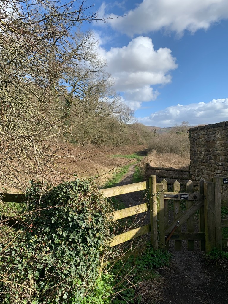
There’s a dodgy crossing of the B6001 and then we head down a field path which drops us onto the Derwent Heritage Way in the valley bottom.
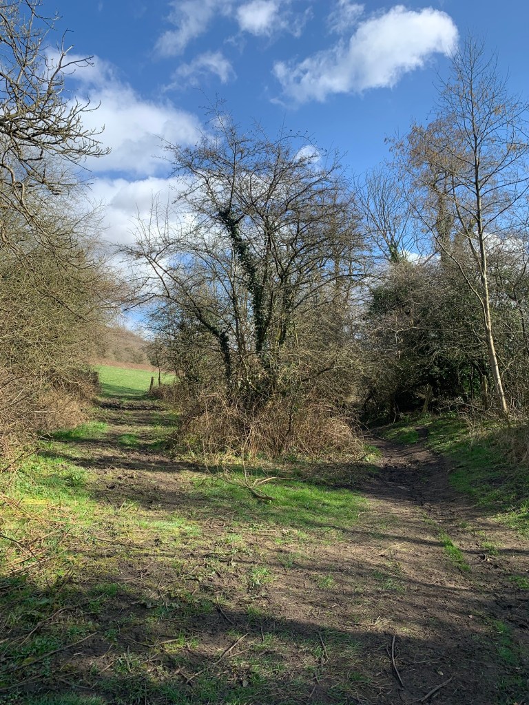
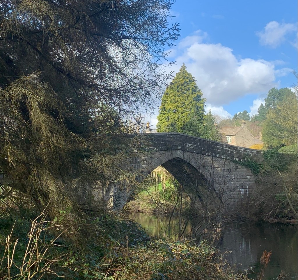
It’s a well marked and well trodden path along by the river to the elegantly shaped bridge at Froggatt and everything looks absolutely beautiful on this lovely spring day we’re still enjoying.
We cross the bridge and continue through the village of Froggatt, ( with not an information board in sight!) and at the tiny chapel we continue straight on the DHW along Spooner Lane and then through the woods to emerge at Grindleford Bridge just below the church with its community shop and cafe. This is a great spot to sit outside on a sunny day and enjoy a huge pot of tea ( or a generous sized cafetière of coffee) and when it says the cakes are homemade here, they well and truly are.
For the last leg of today’s walk we head up the main road past The Maynard and then left down the approach to the station before taking the path up the right hand side of Padley Gorge. We pop out on the road opposite the big white gate to Yarncliffe and then make our way up through Longshaw to the bus stop at Fox House.
The lighting by now has my favourite afternoon feeling and we’re still bagging amazing views right up to the last minute.
The 272 comes along just on cue and we’re soon heading home after an astonishingly good walk and a very educational day out.
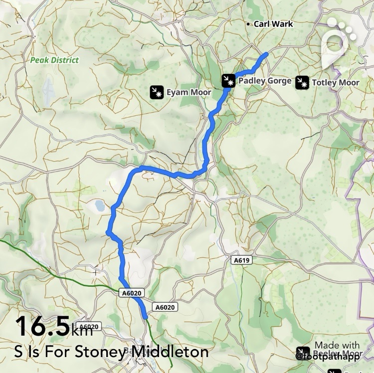
https://footpathapp.com/routes/BD7A1321-2849-403E-B297-634CB7D51F3B?units=metric
Transport
218 from Sheffield to Pineapple Farm ( on the edge of Bakewell)
272 from Fox House to Sheffield
Pubs/Cafes
Hassop Station Cafe
Cupola Cafe Stoney Middleton
The Moon
Grindleford Community Cafe
The Maynard
Longshaw Cafe
Fox House pub
How far?
Around 20k
Route Synopsis
Briefly along the Monsal Trail to Hassop Station- footpaths to the top of Great Longstone Edge Road- paths to Stoney Middleton- Knoutchley Farm- Derwent Heritage Way through Froggatt to Grindleford Bridge- Grindleford Station- Padley Gorge- Yarncliffe- Longshaw- Fox House
Dogs?
Not ideal for dogs due to livestock
Map
OS White Peak

Leave a comment