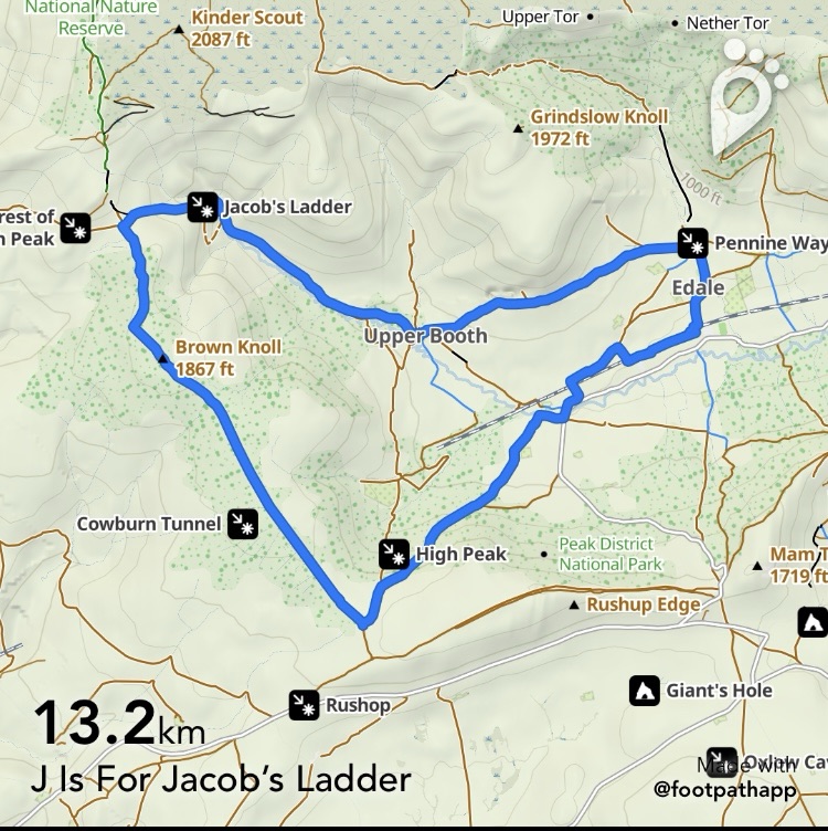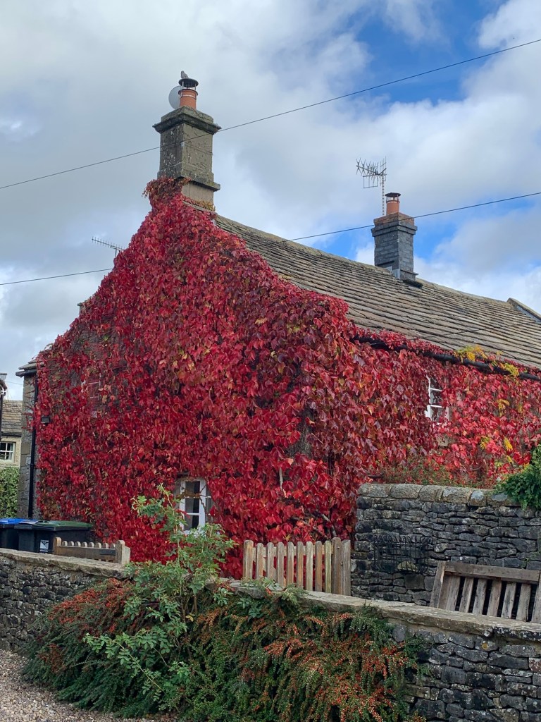
Finding an “I” for last week’s walk was a challenge but today’s “J” was a no-brainer.
It had to be Jacob’s Ladder because, apart from Johnnygate, ( which would have been almost duplicating where we were last week) there just wasn’t an alternative.
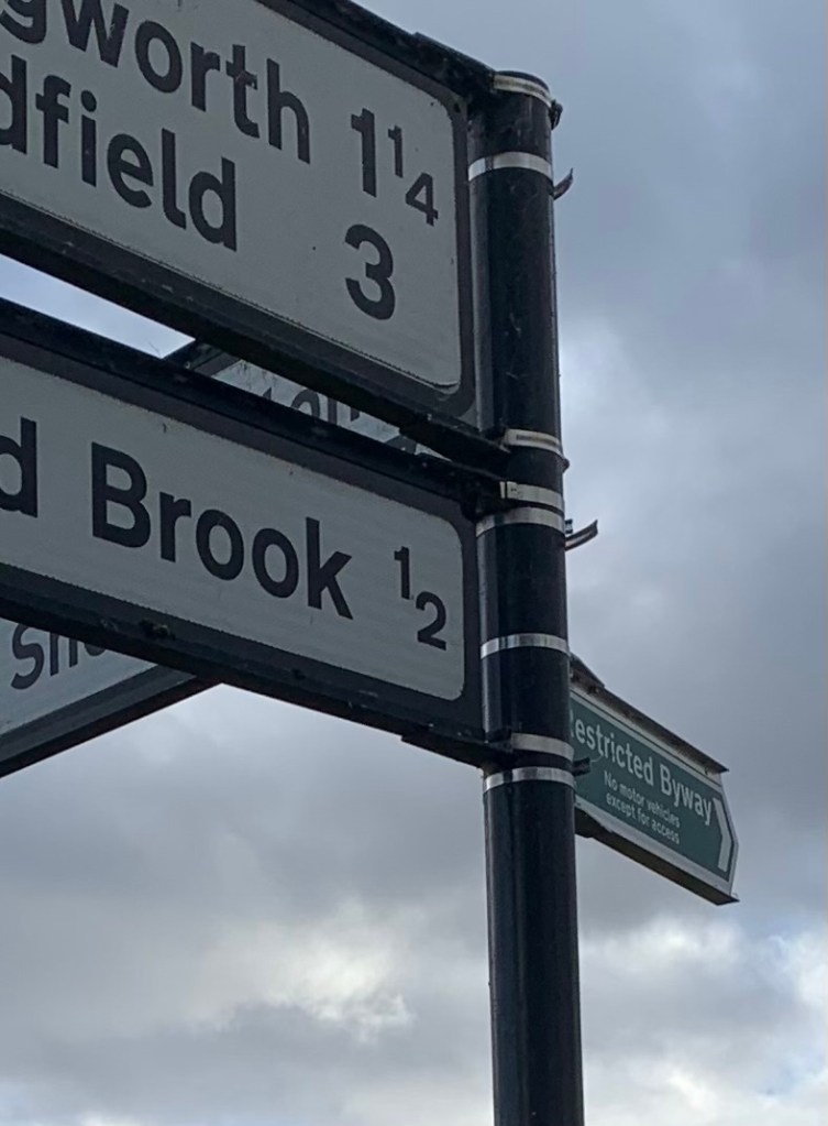
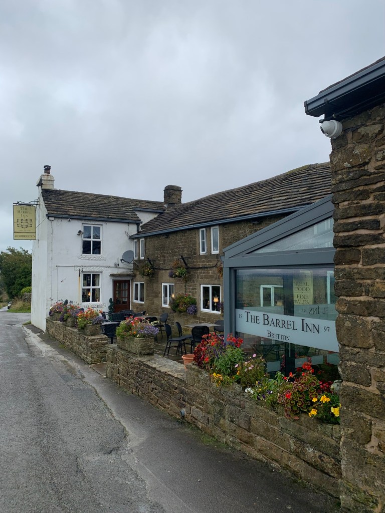
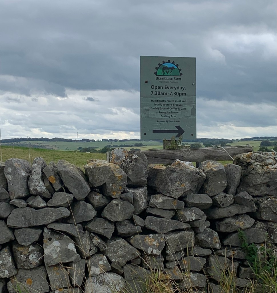
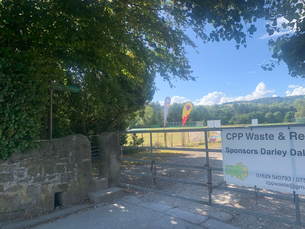
Walking down to Sheffield station in the rain, someone(?) tentatively suggested we might do “ J for The Joiners Arms” instead but although there are lots of lovely walks to Bakewell, we’ve already done one in this walk-through-the-alphabet. It was really just a pathetic attempt to dodge the inevitable wetting we were in for, and we can’t be having pathetic and dry when there’s a classic walk to be done, can we?
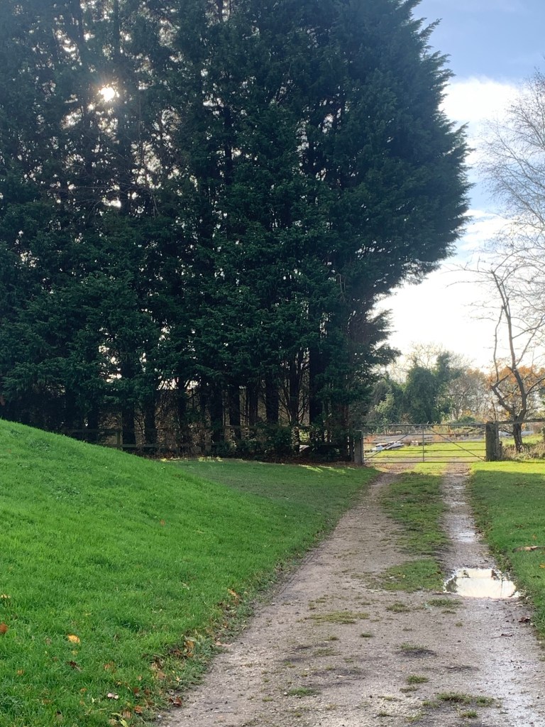
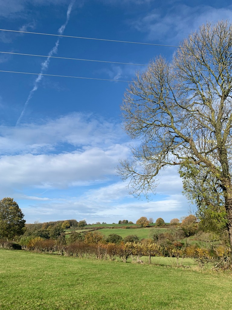
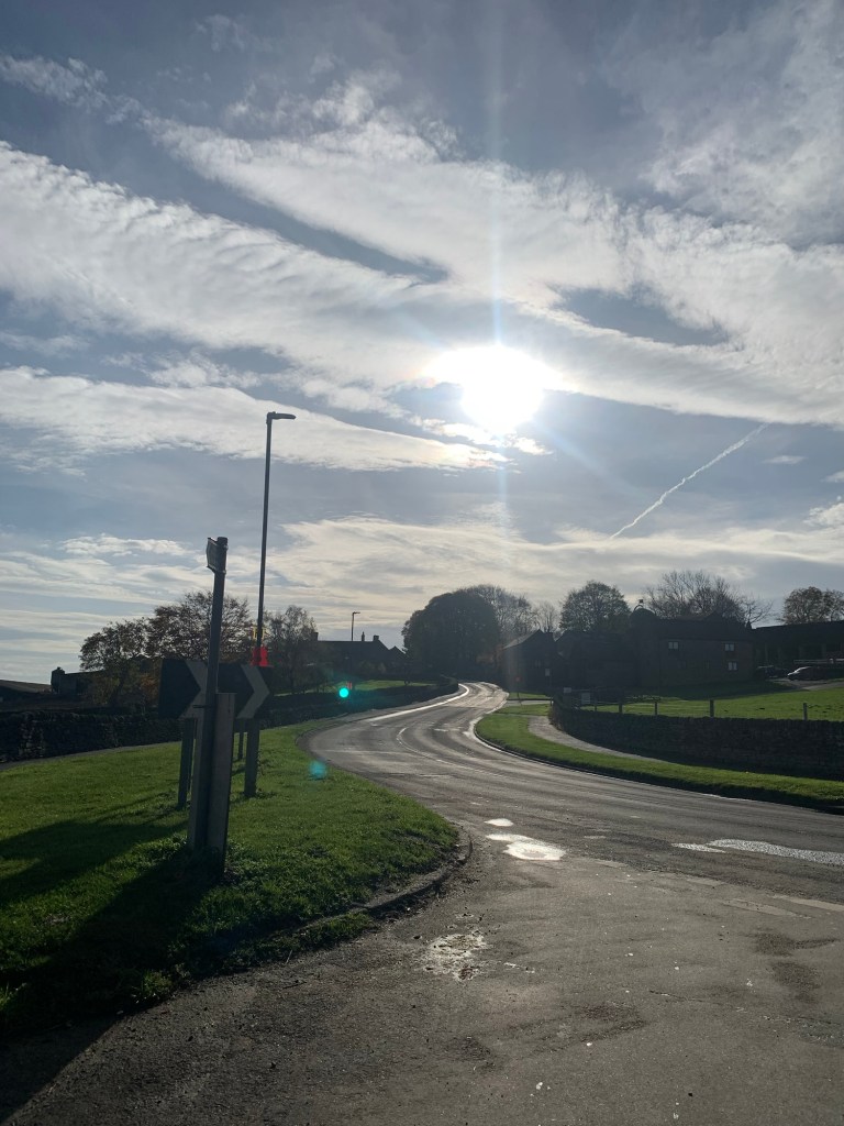
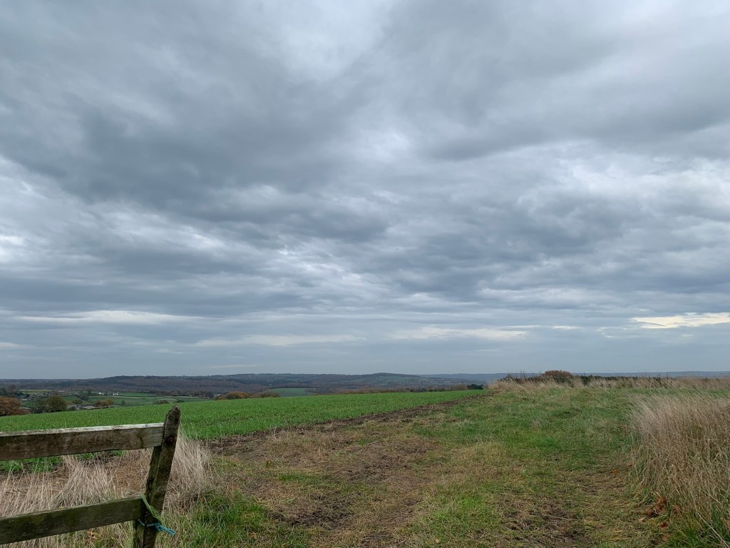
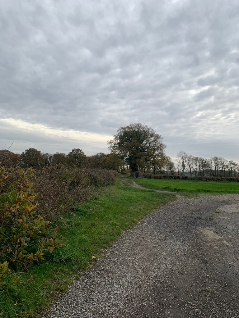
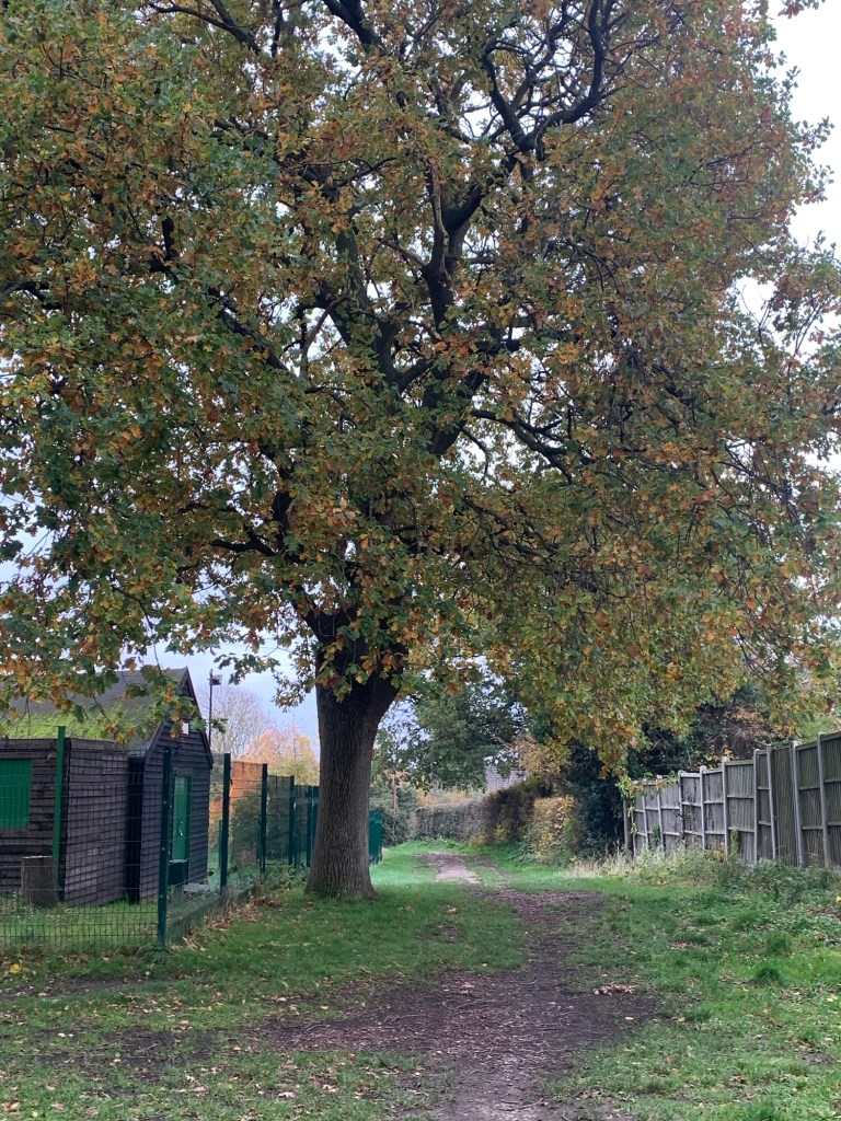
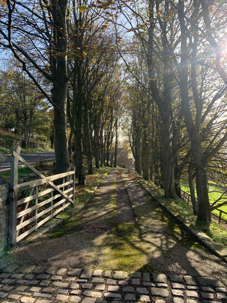
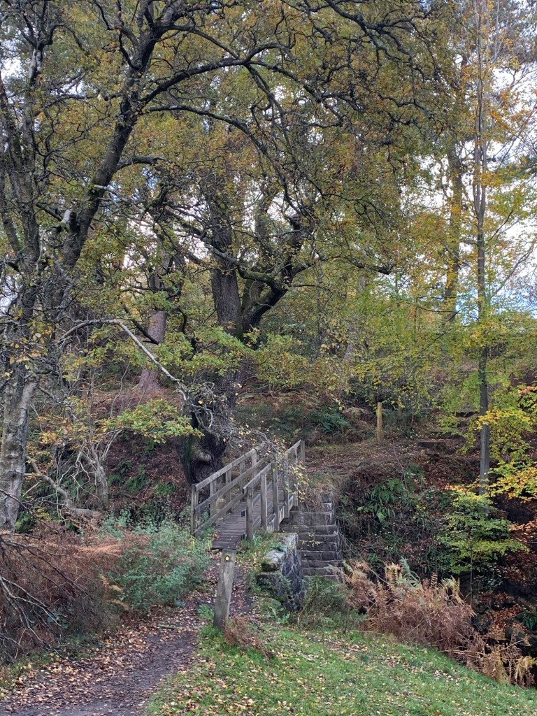
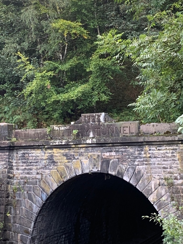
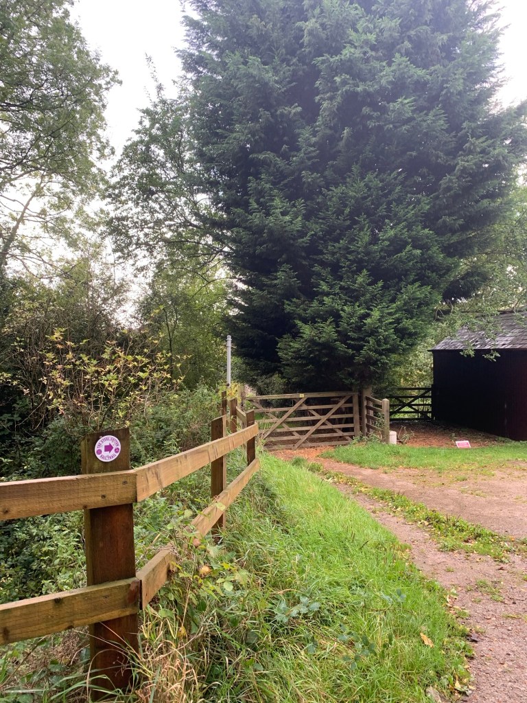
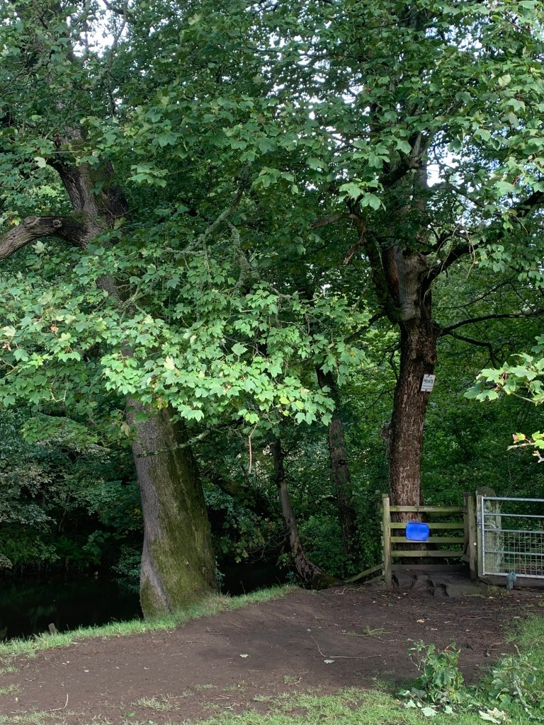
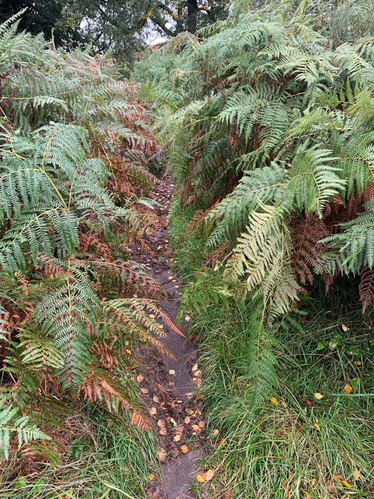
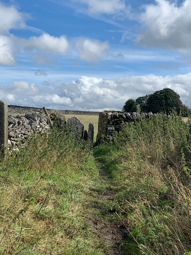
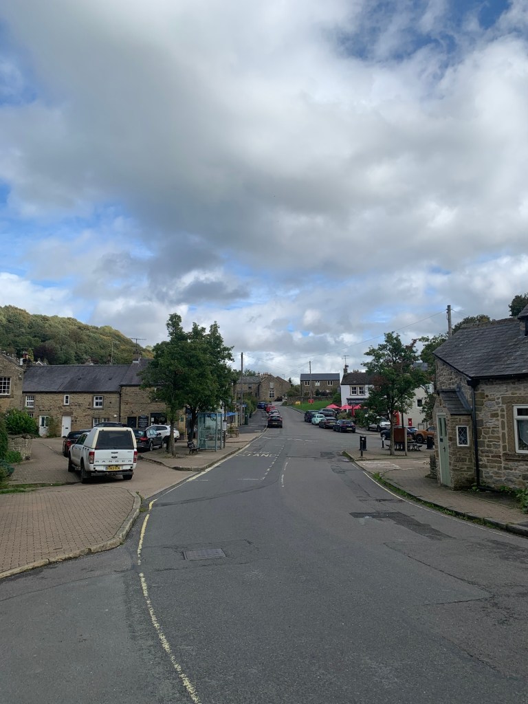
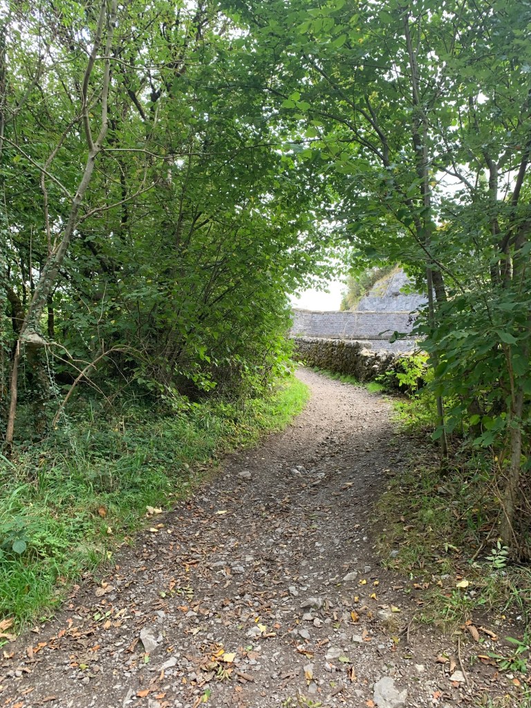
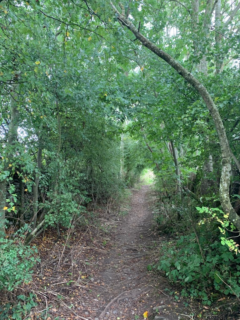
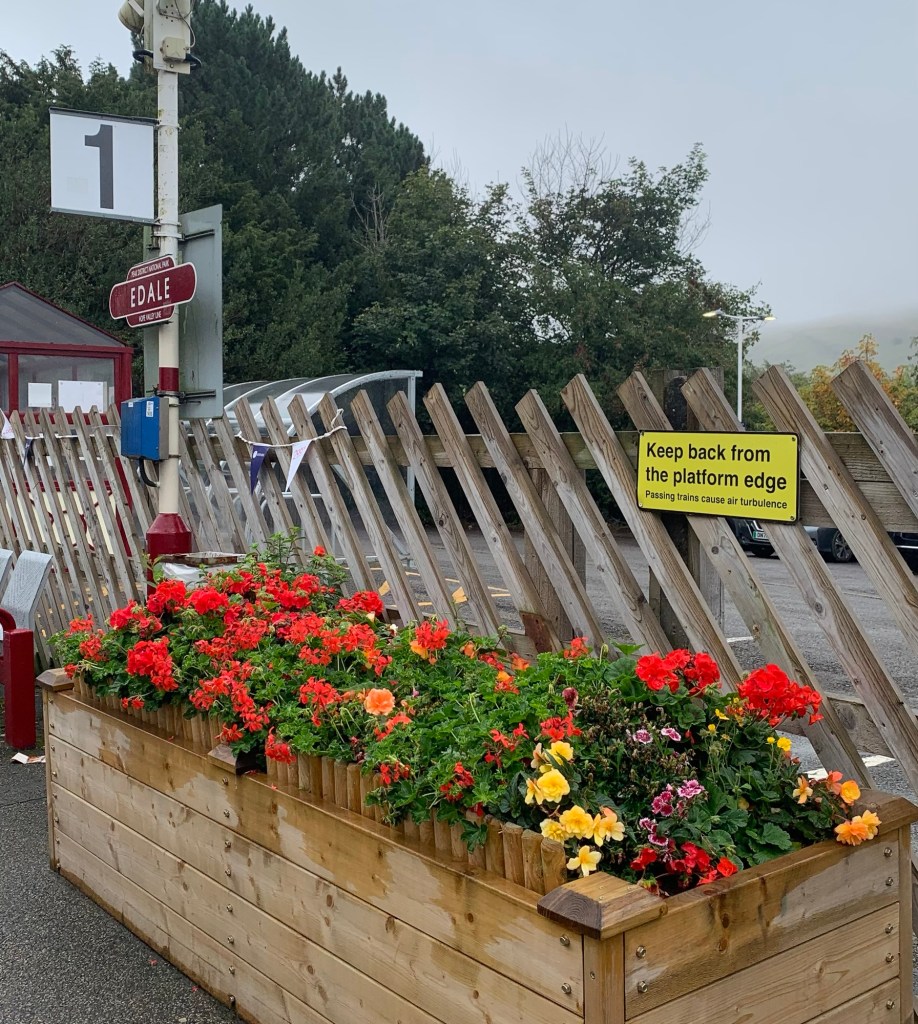
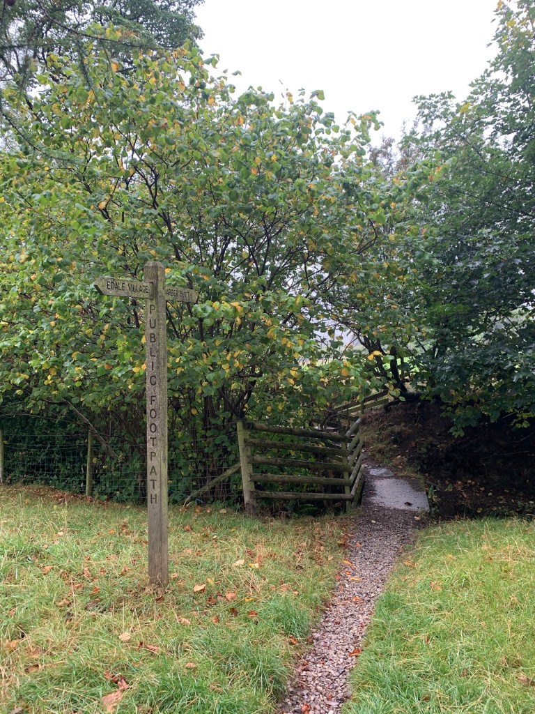
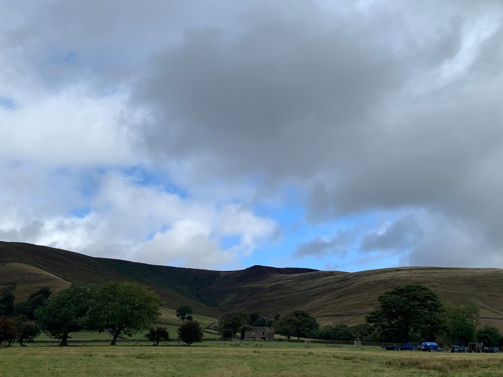
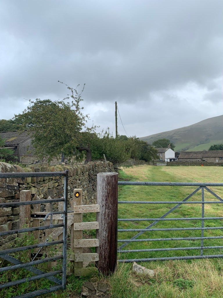
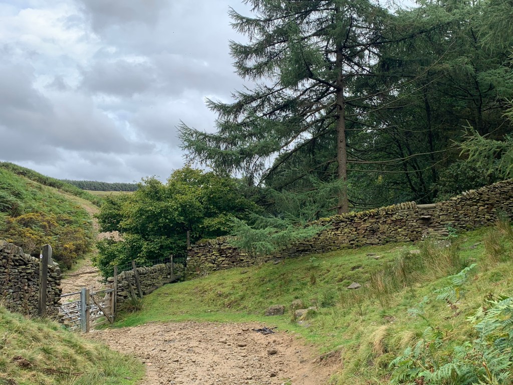
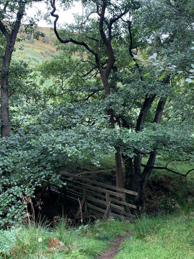
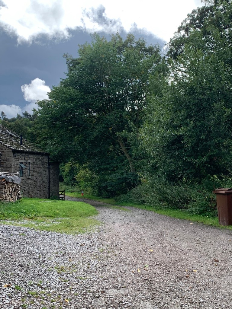
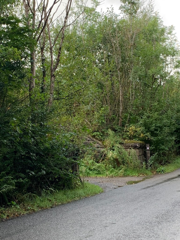
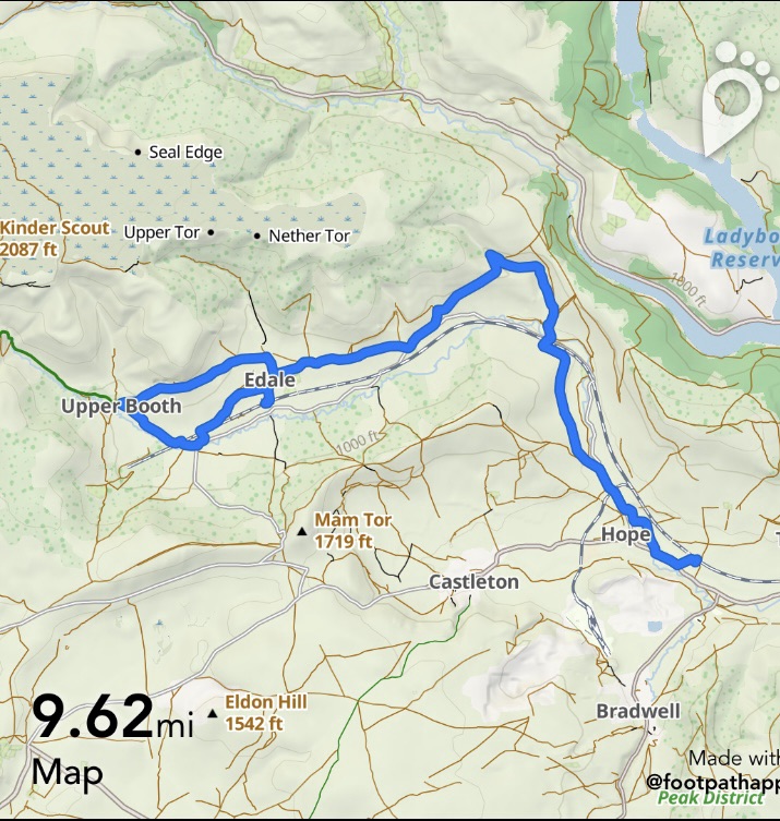
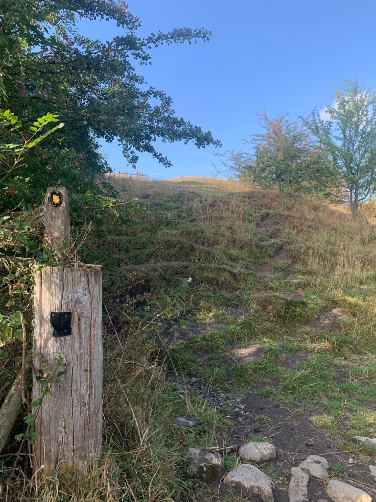
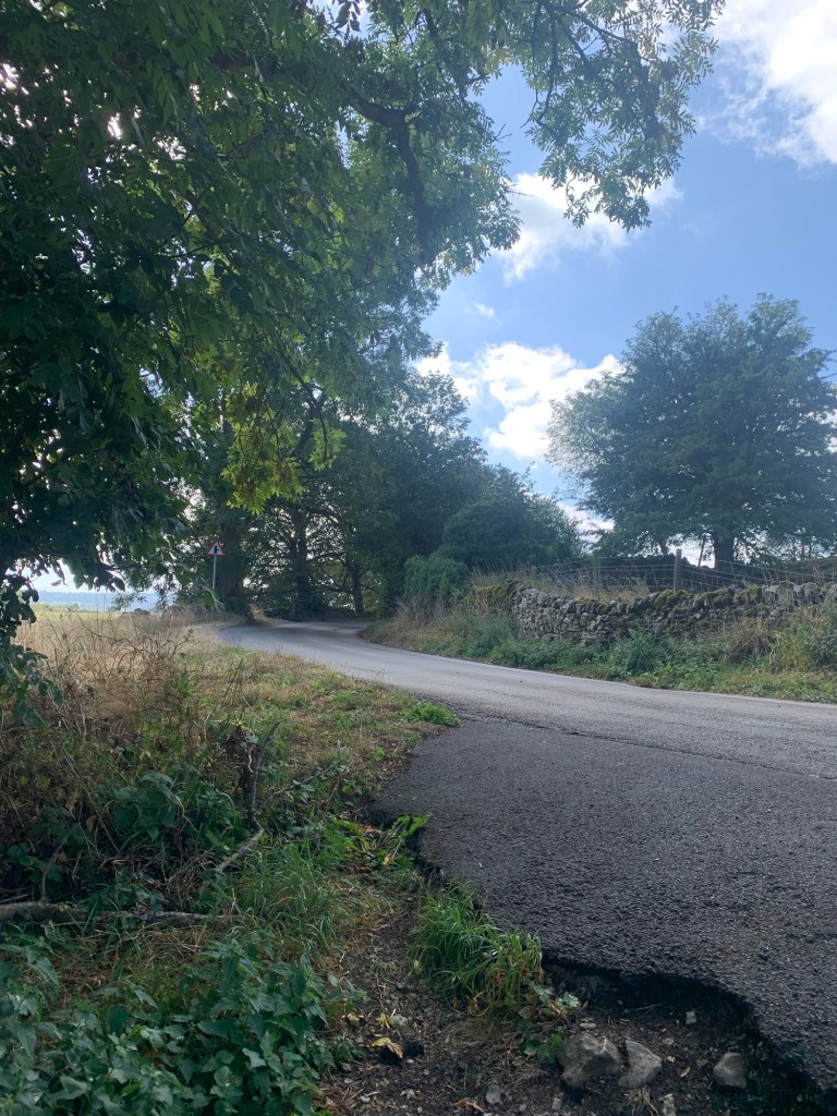
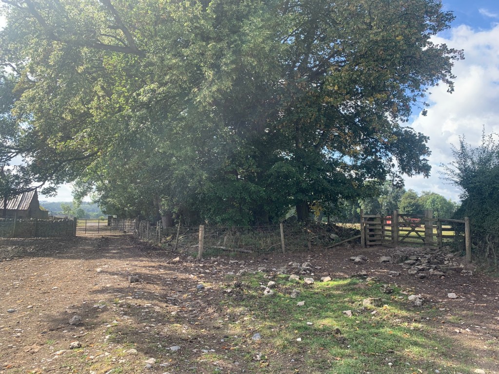
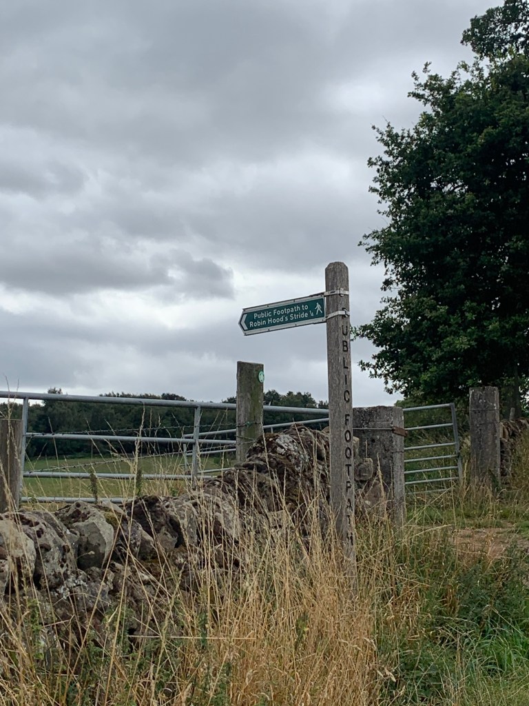
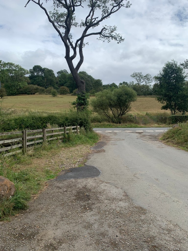
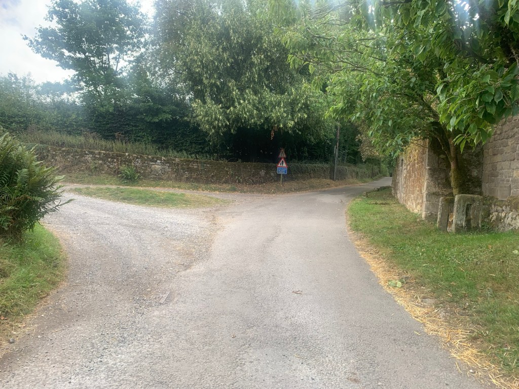
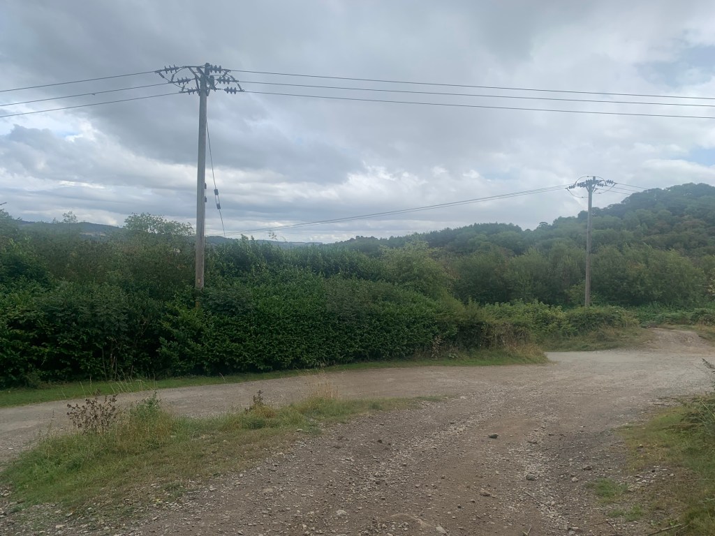
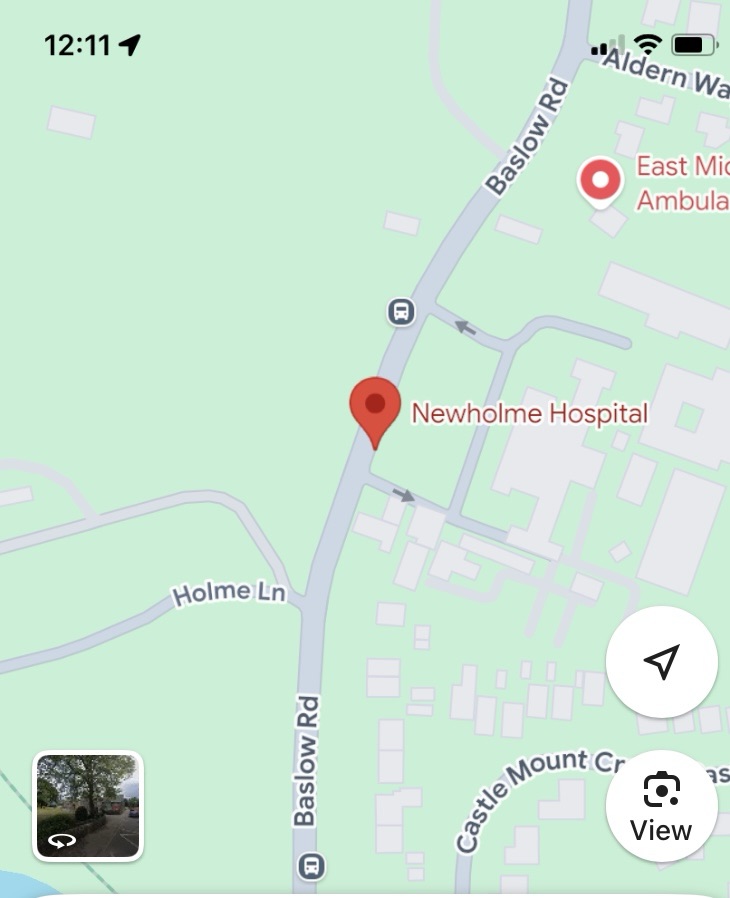
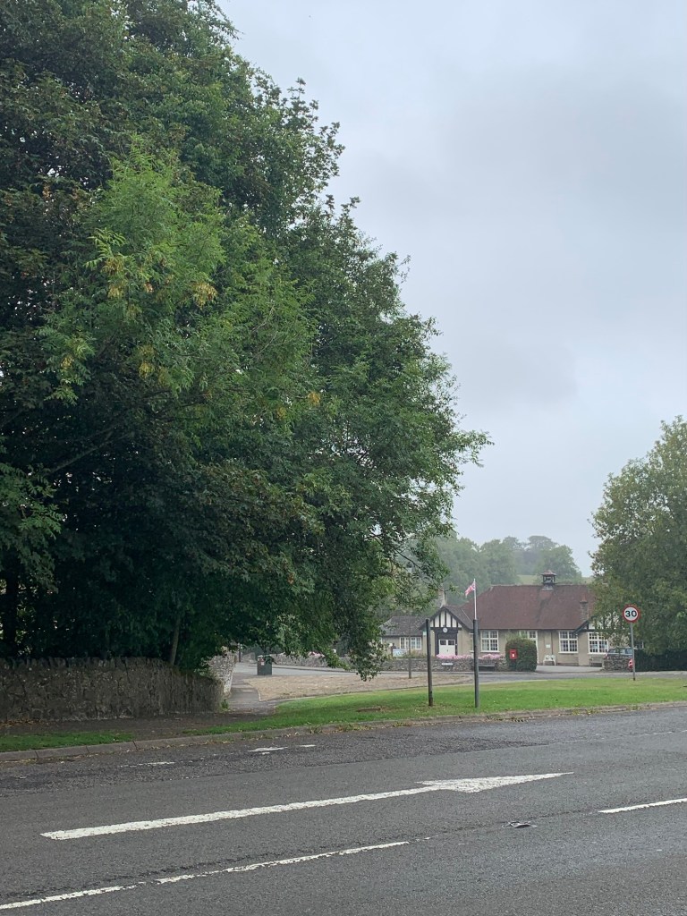
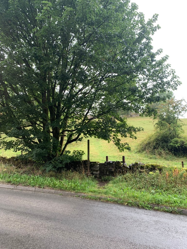
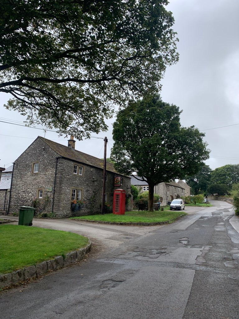
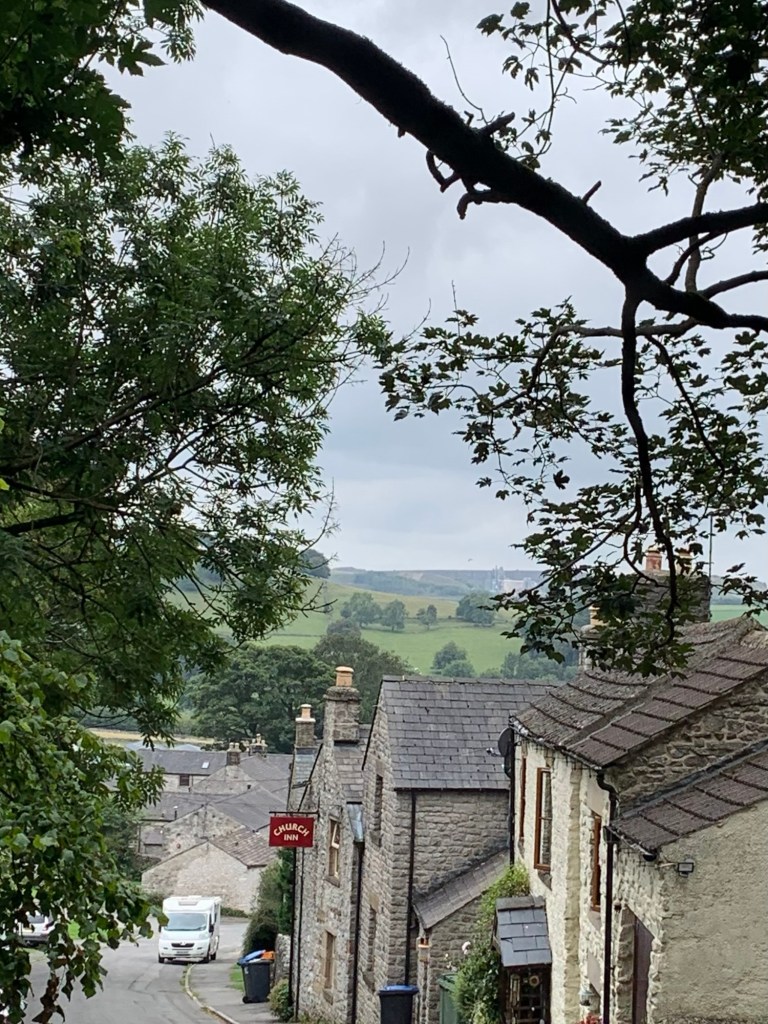
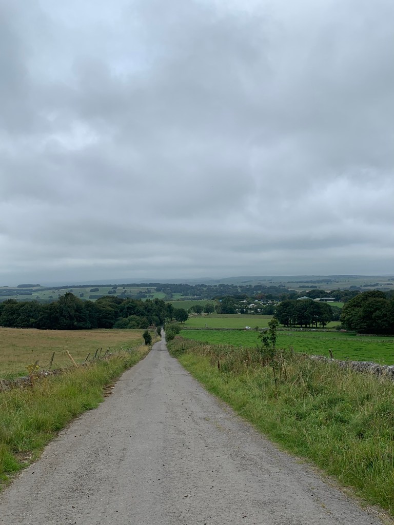
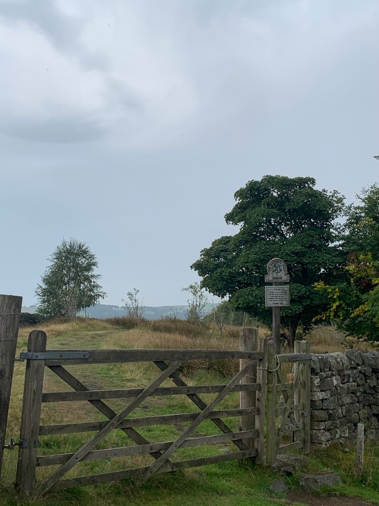
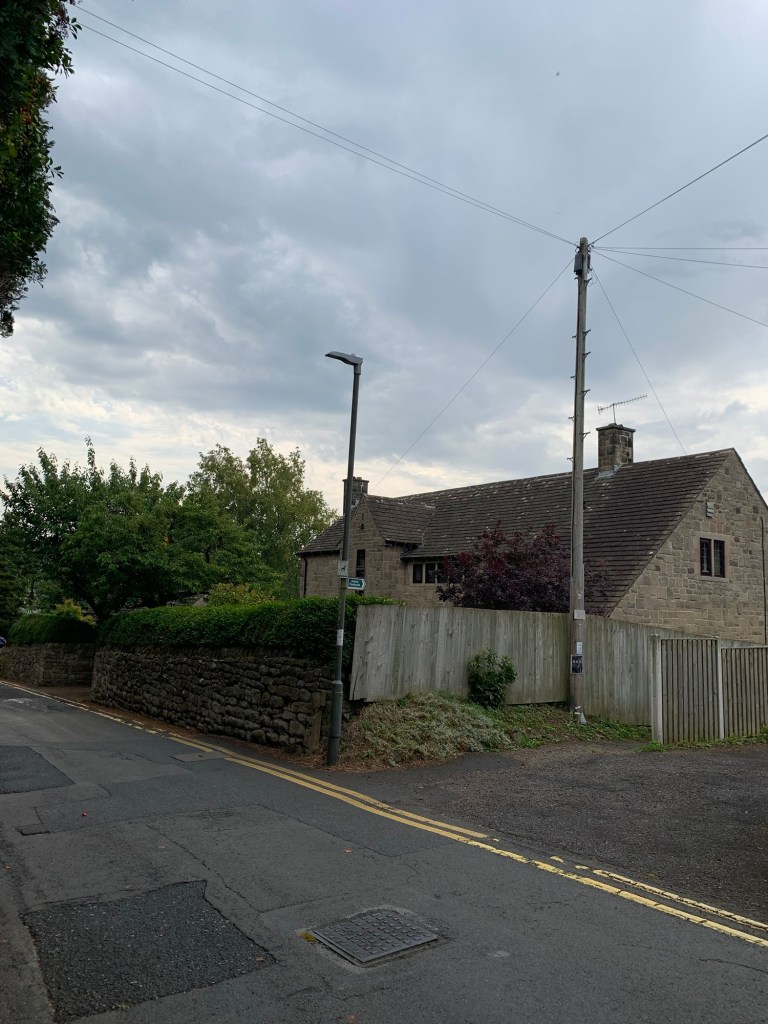
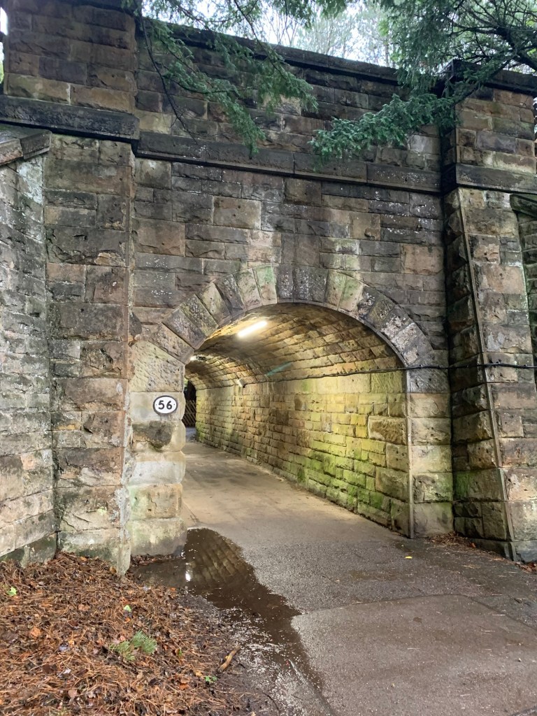
So, getting off the train at Edale we walked through the tunnel ( just to enjoy the dryness of it)
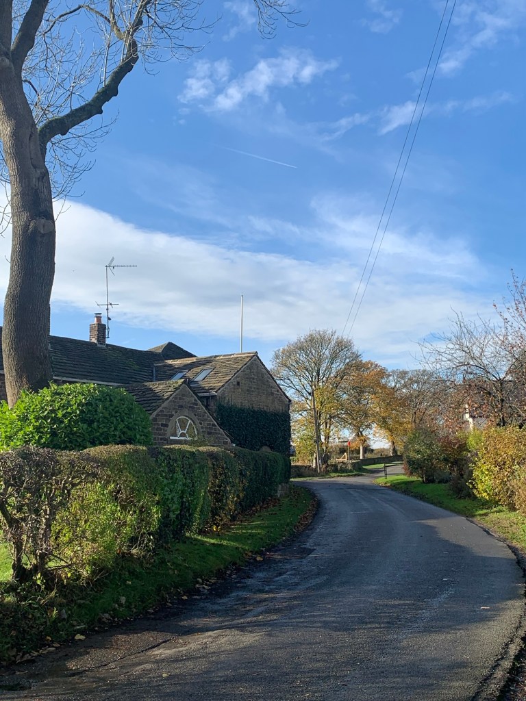
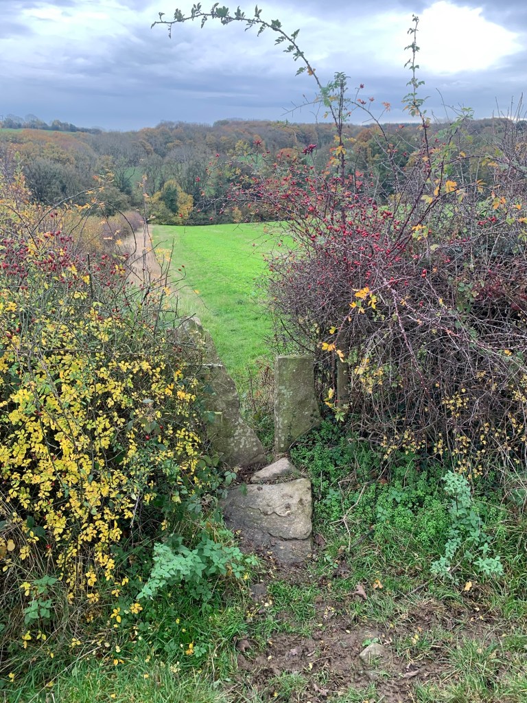
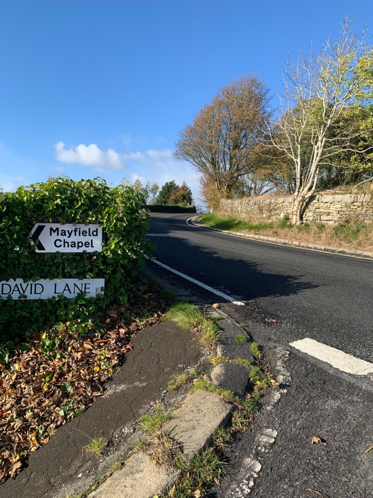
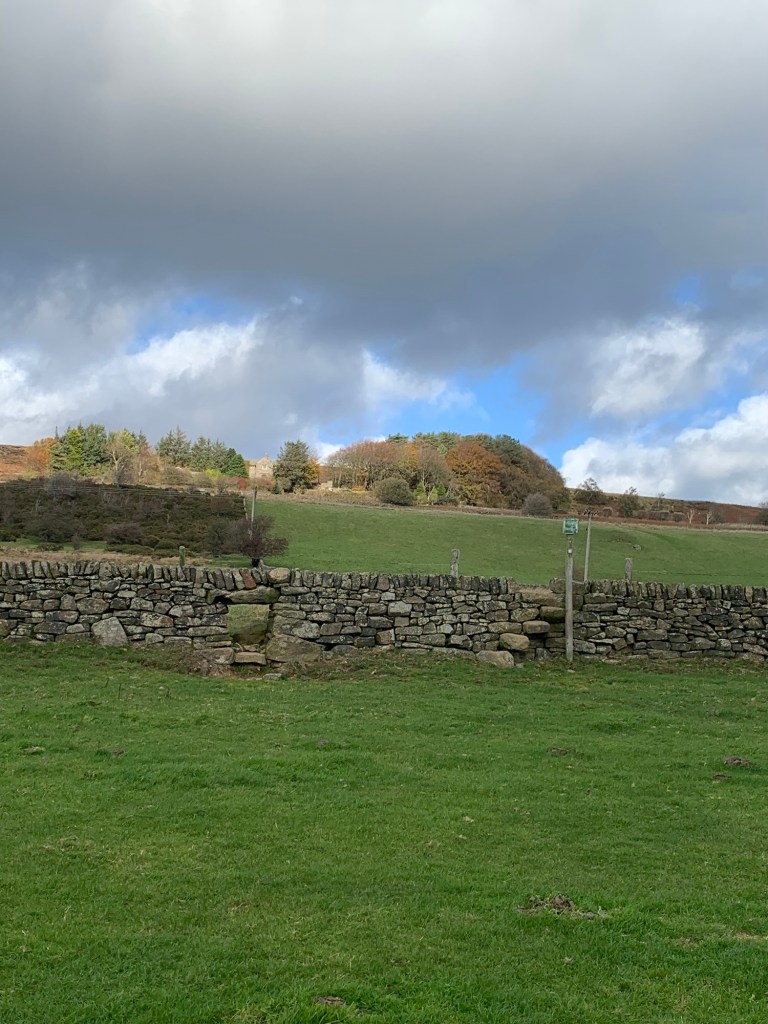
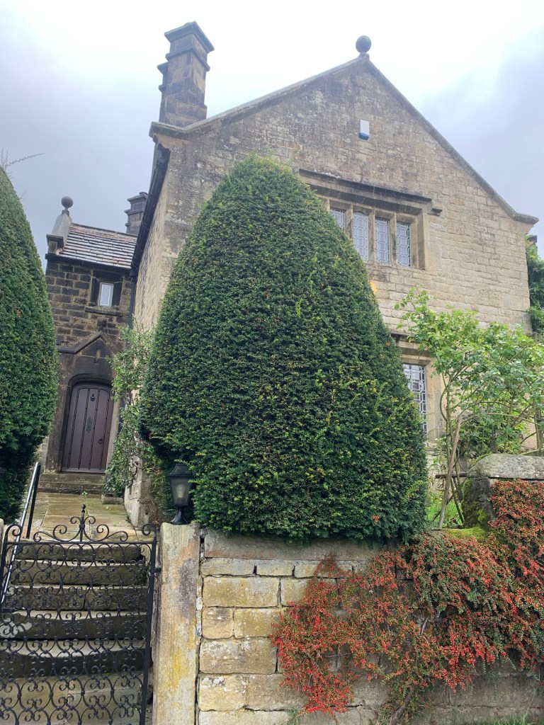
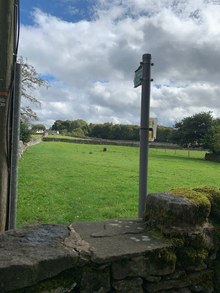
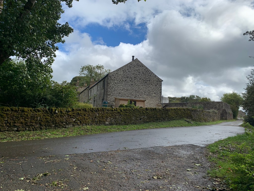
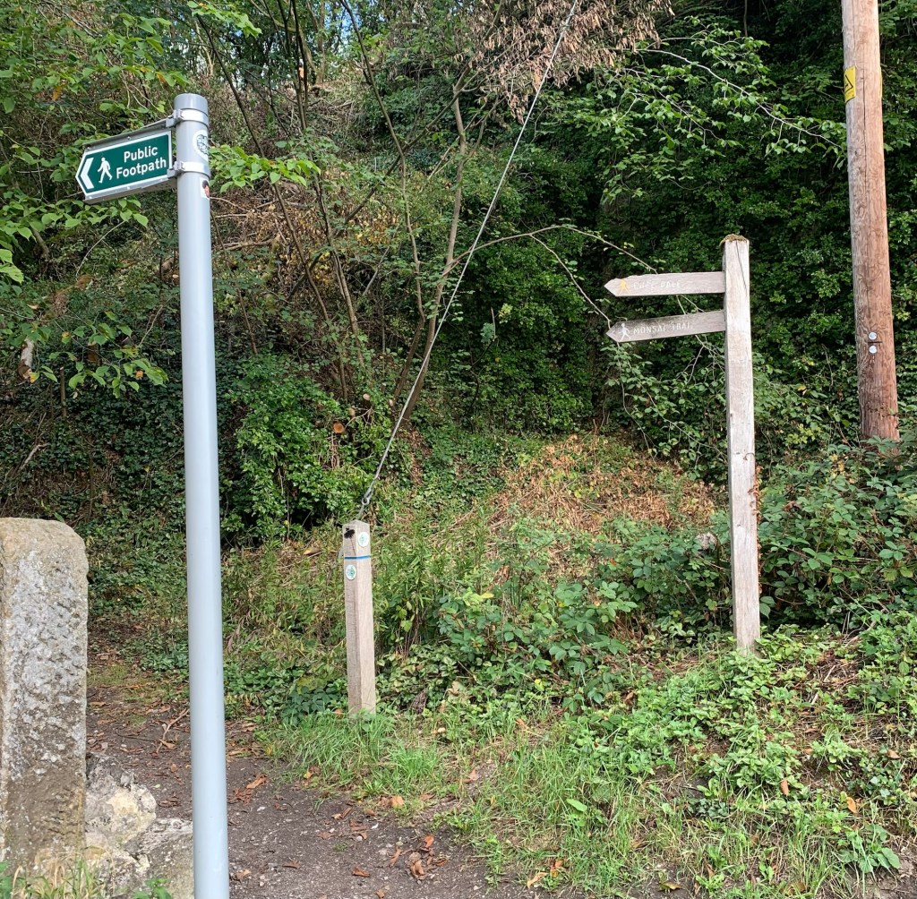
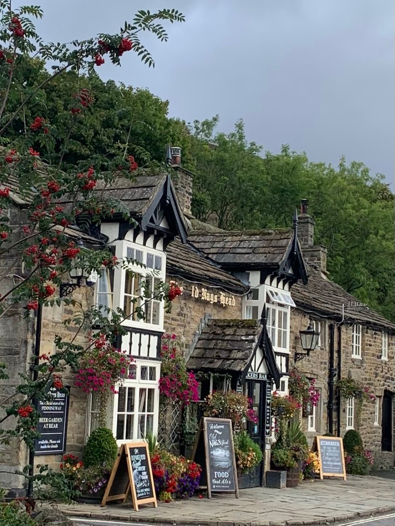
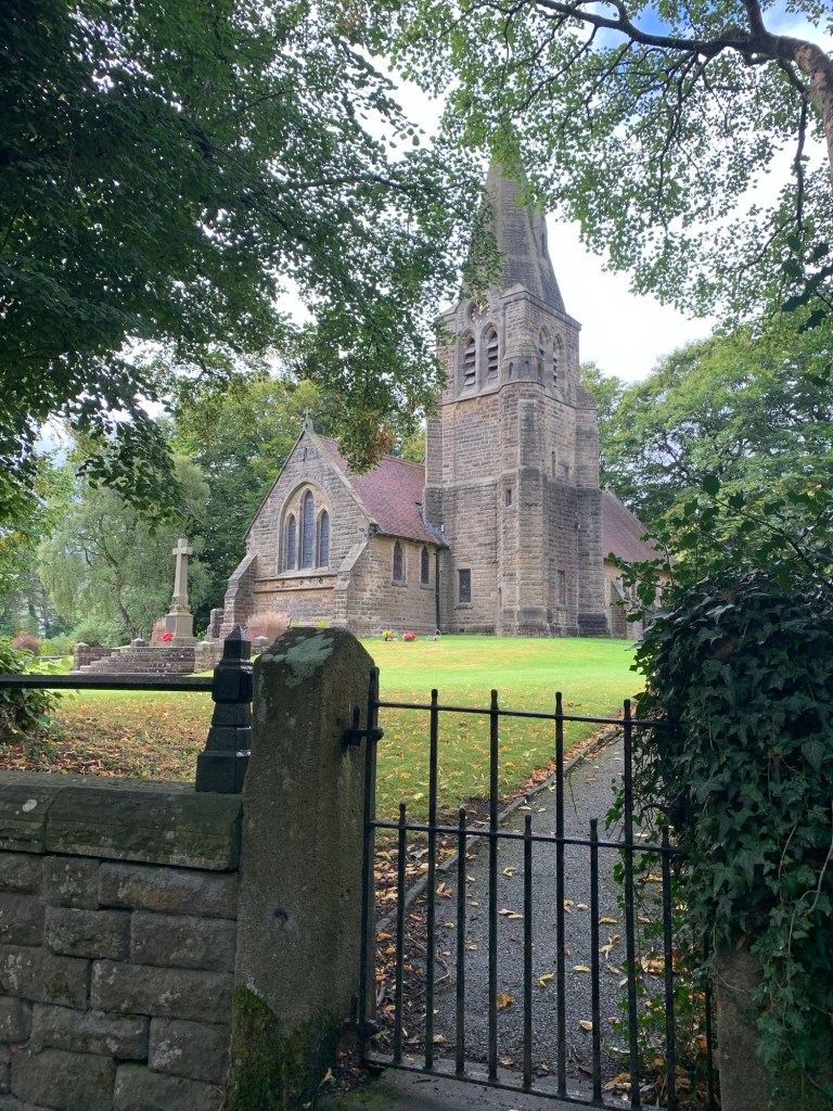
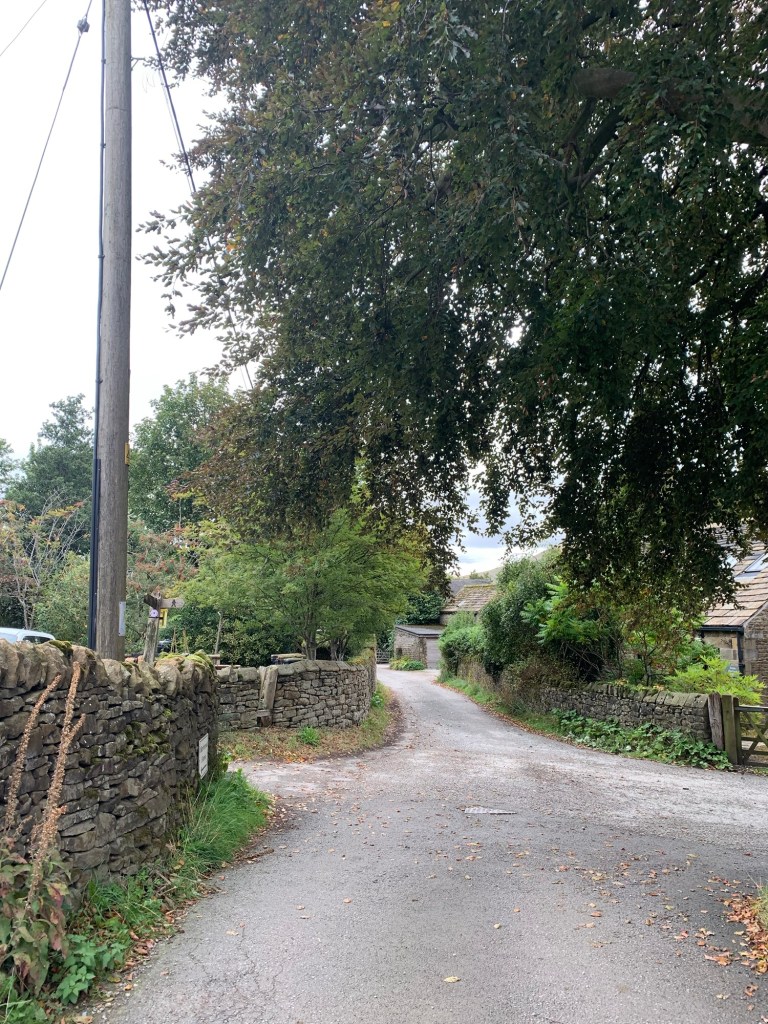
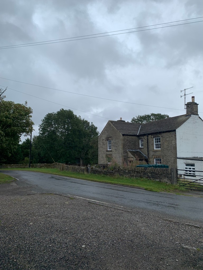
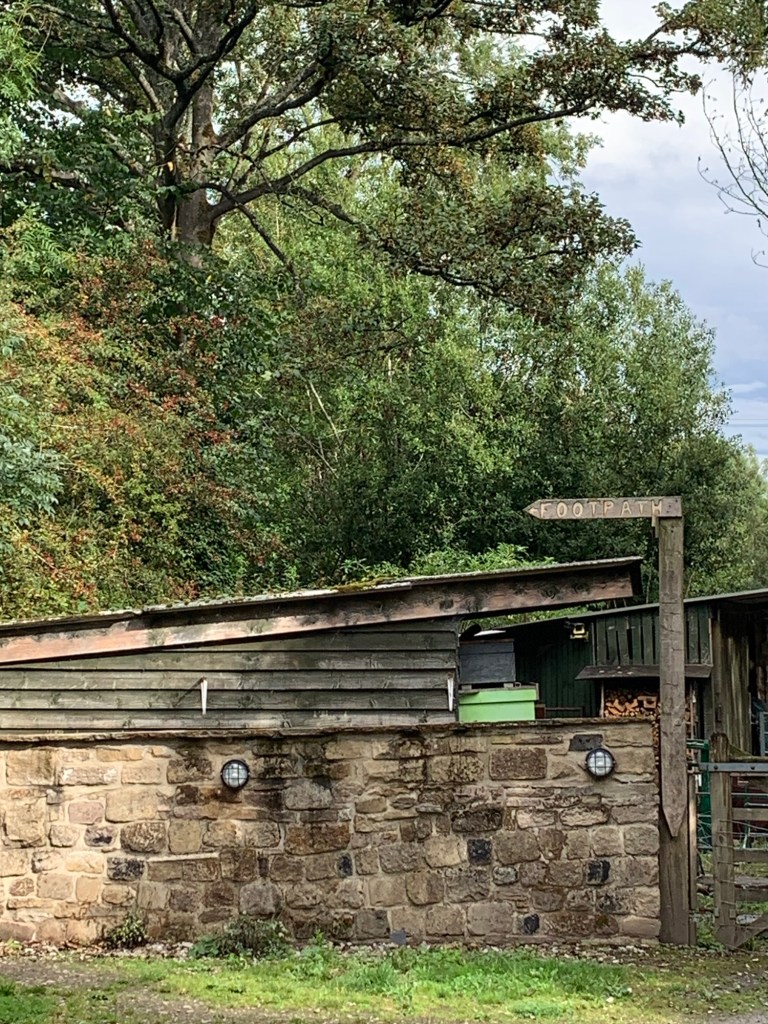
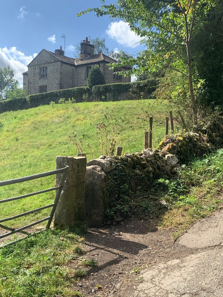
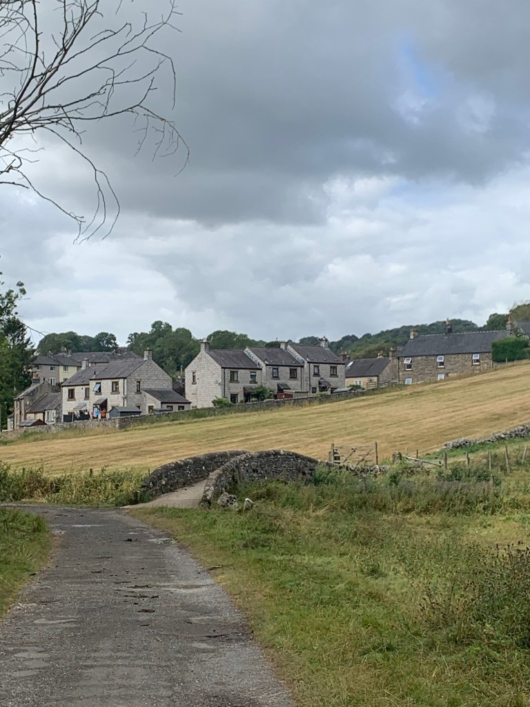
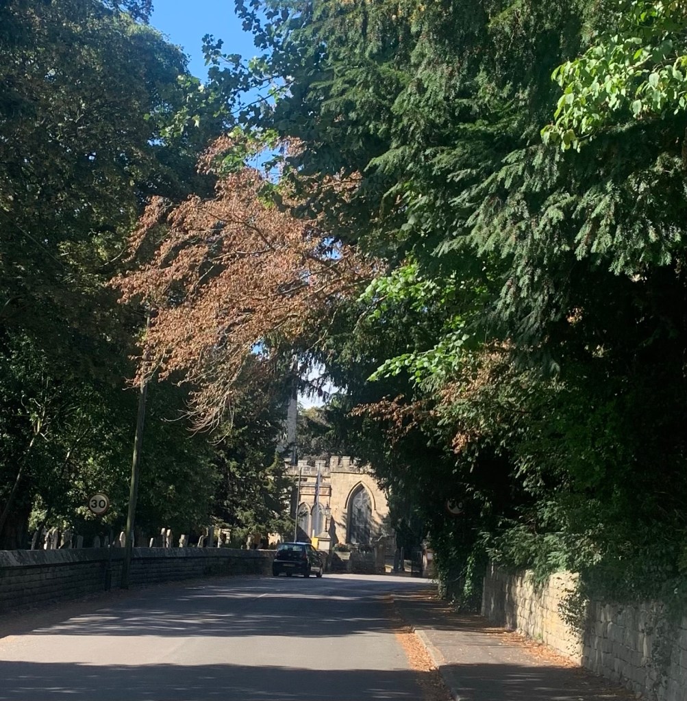
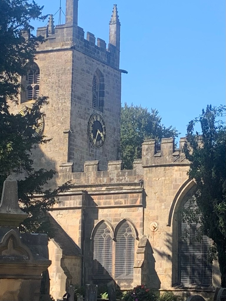
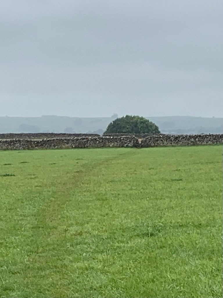
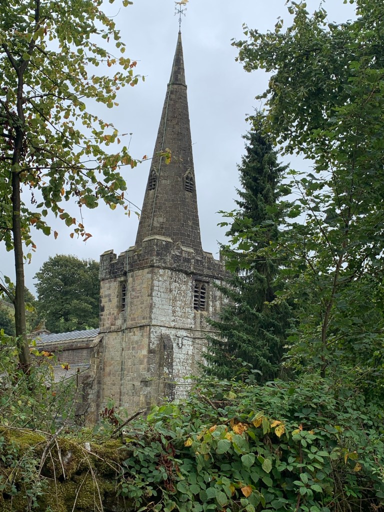
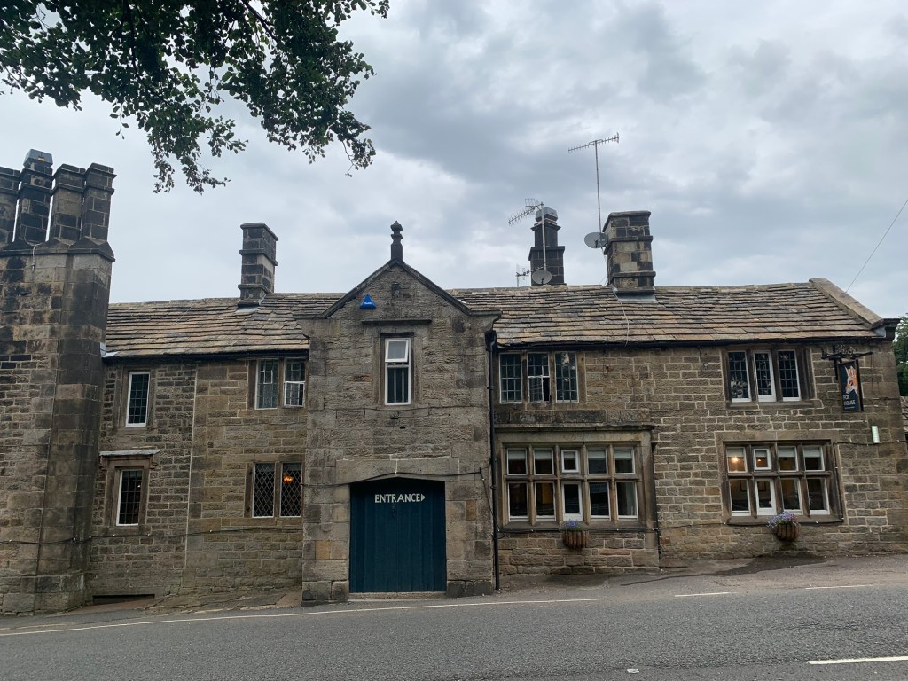
and headed up the road past The Ramblers pub, past the church and up into the village of Grindsbrook Booth where we took the path near Newfold Cafe and opposite the school.
(Please see E for Edale for more info on the different “Booths” of the Edale Valley.)
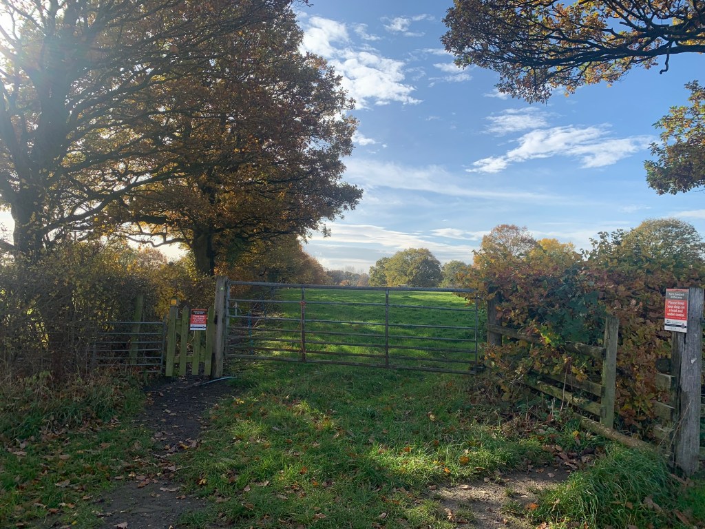
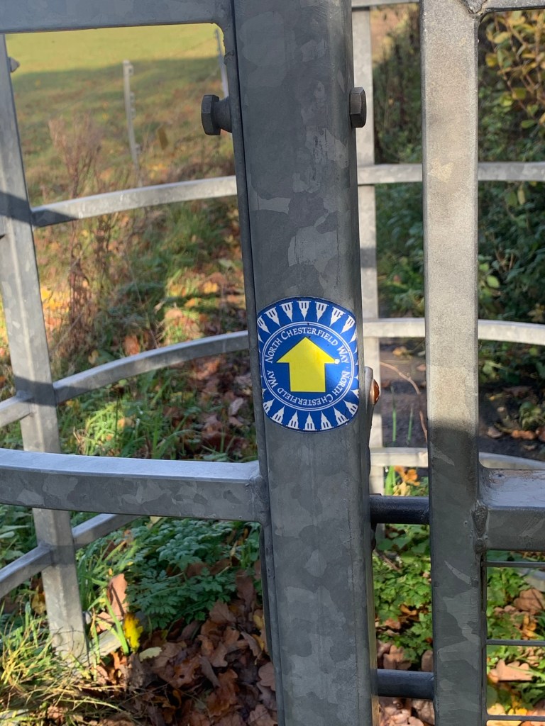
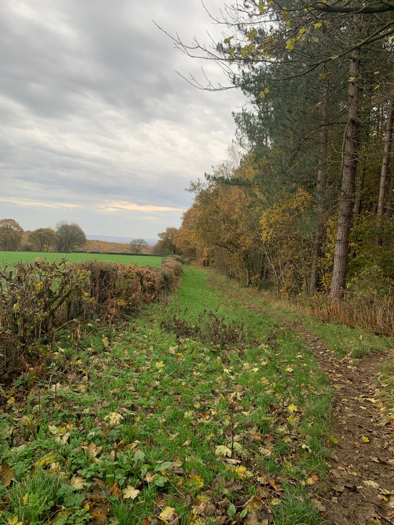
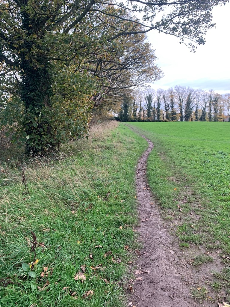
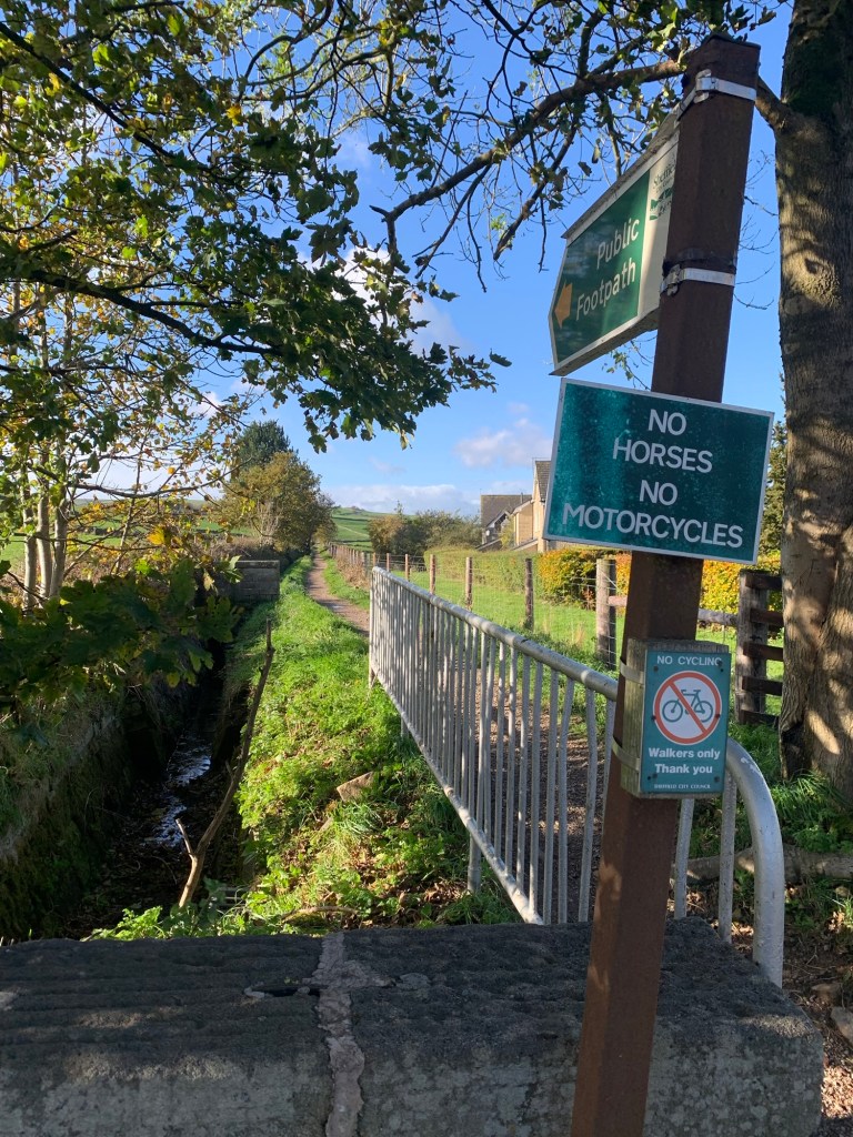
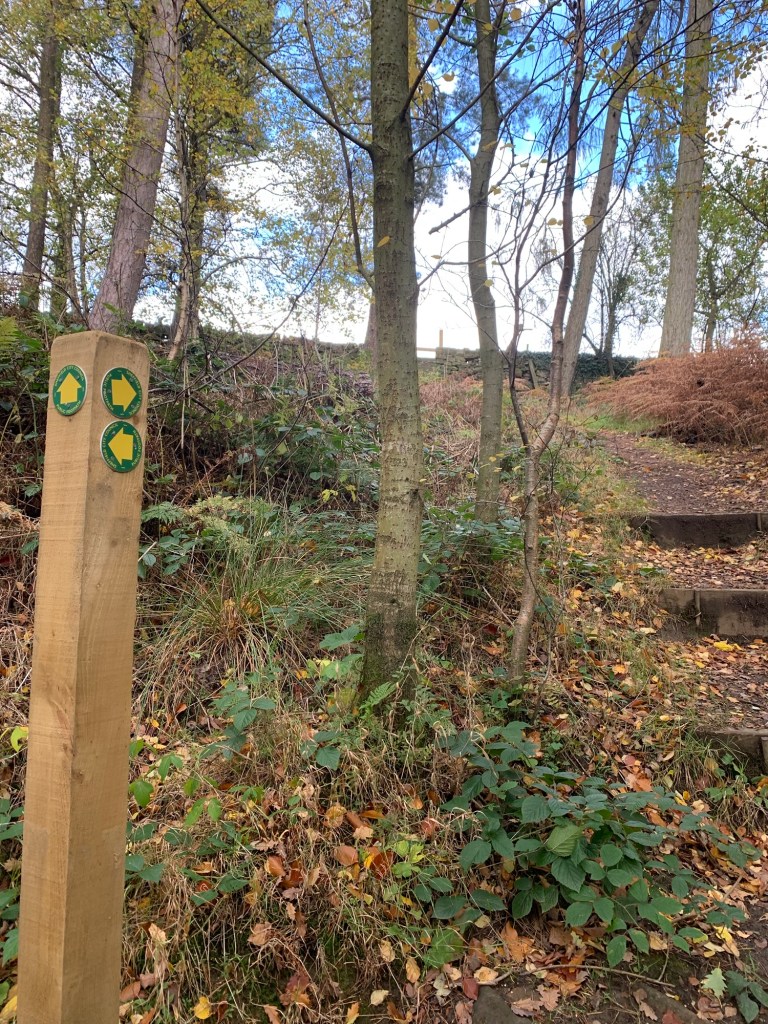
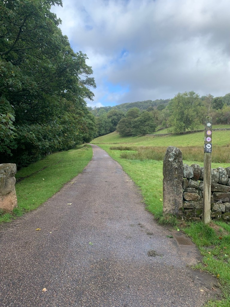
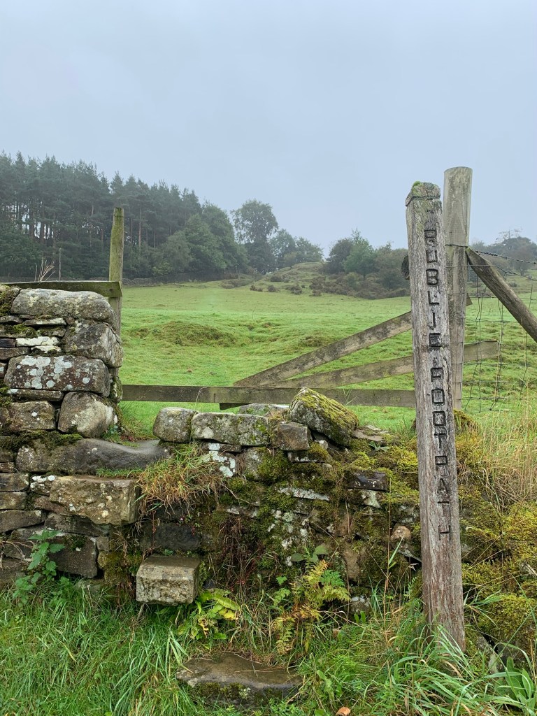
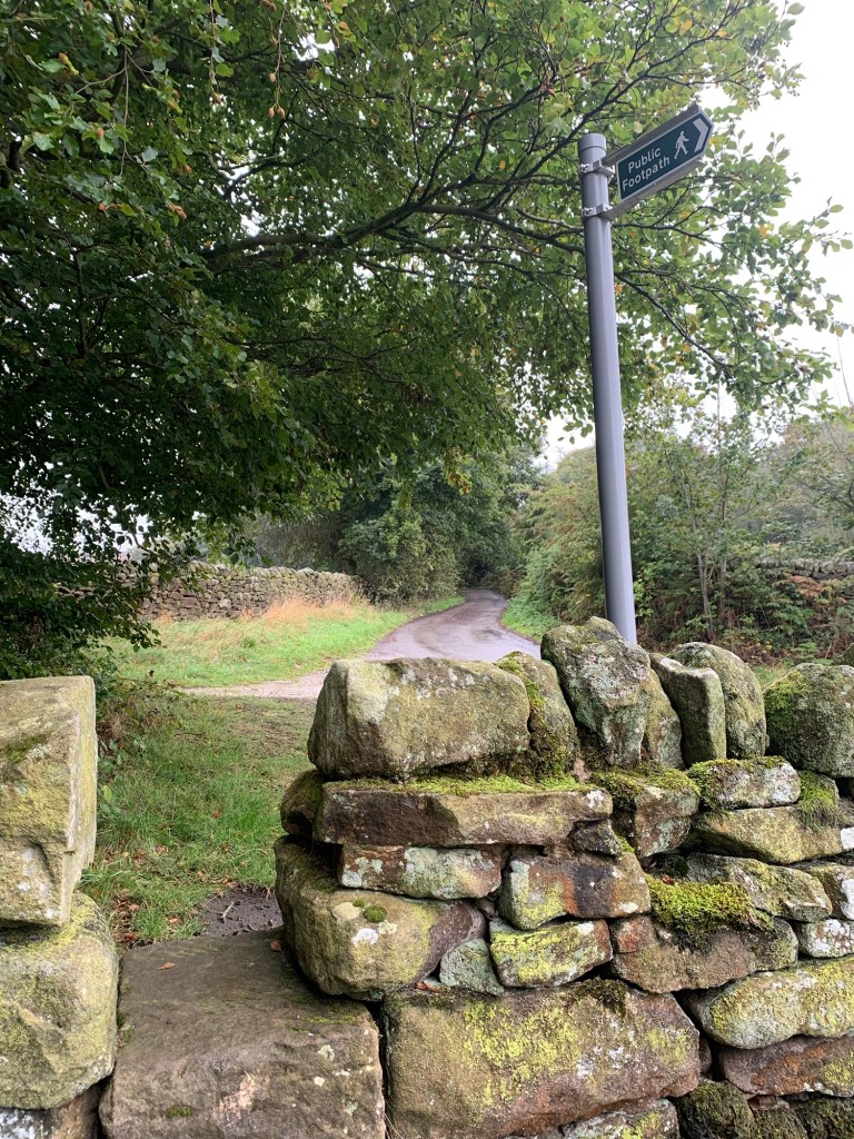
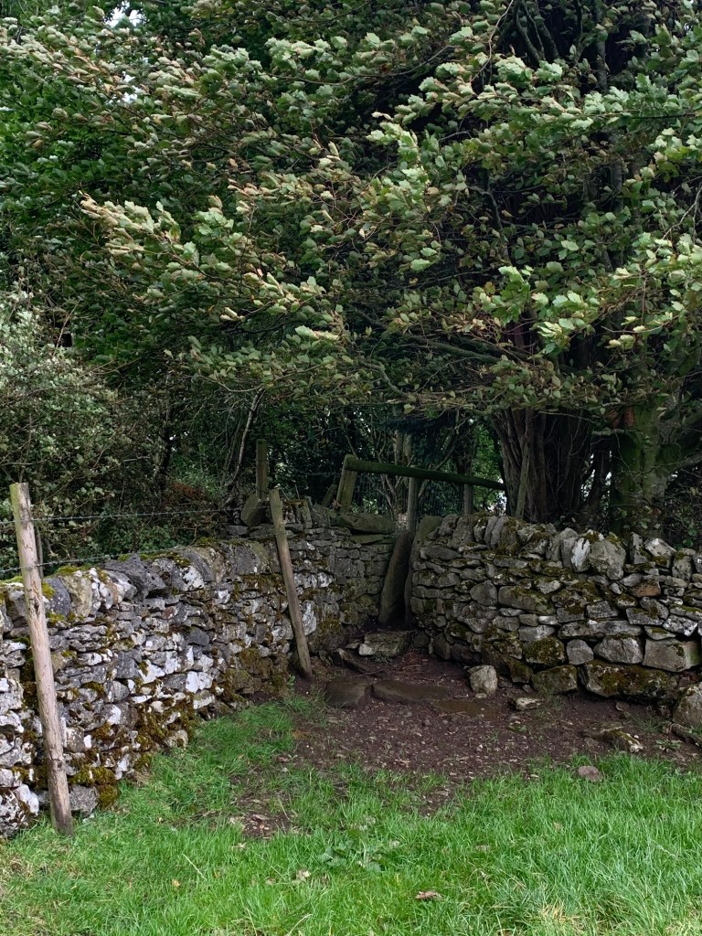
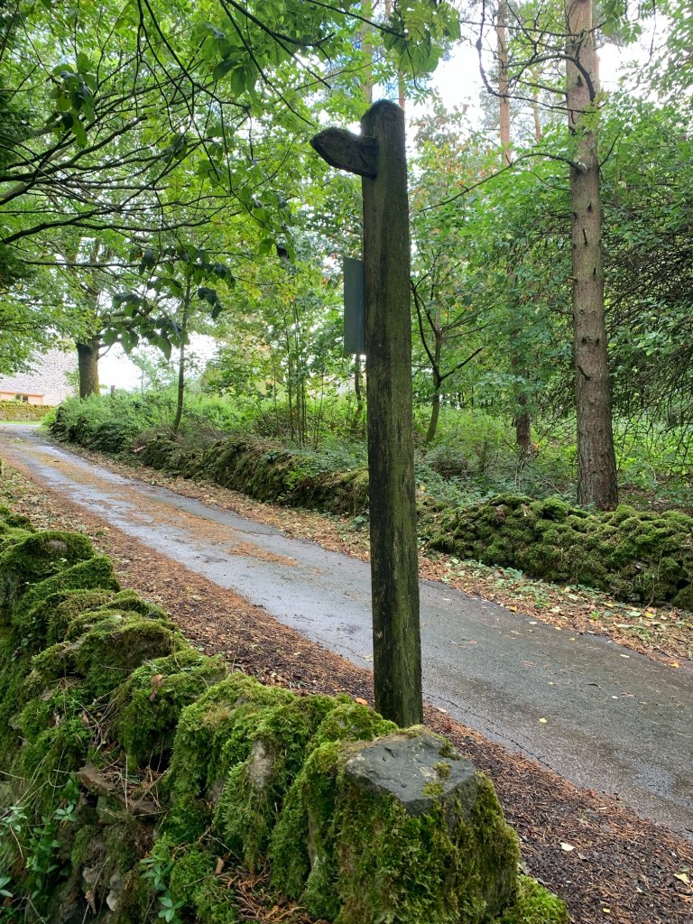
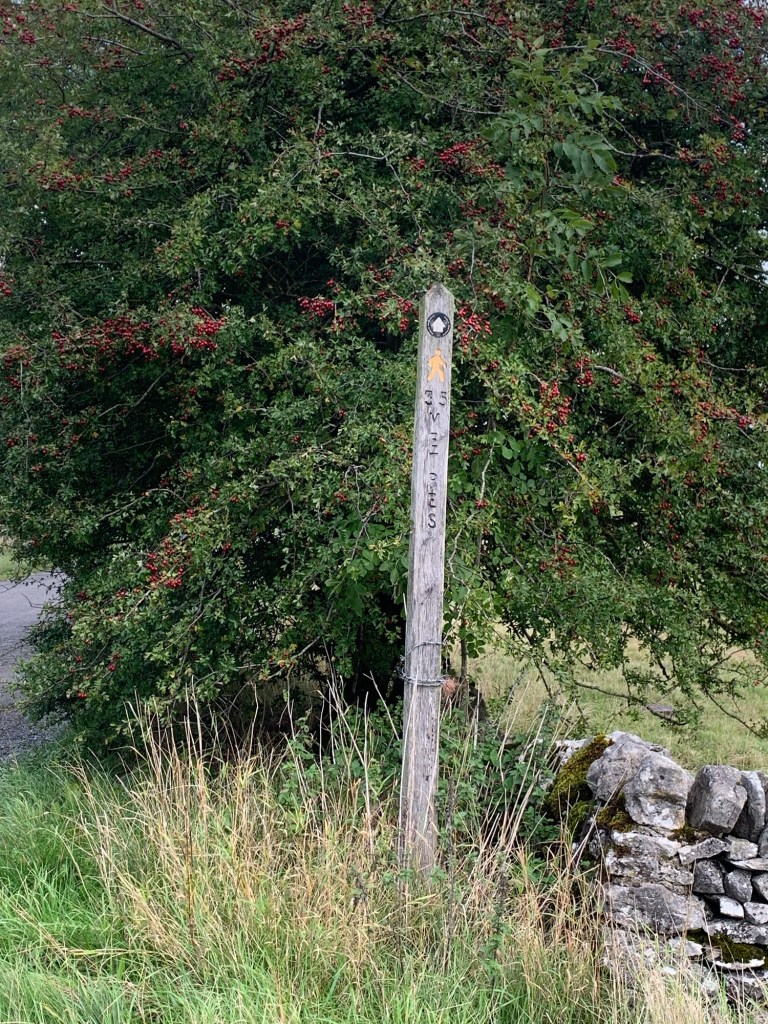
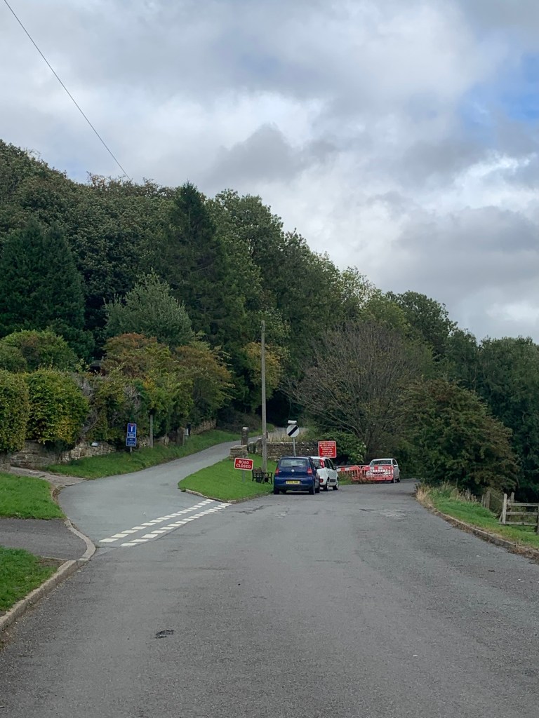
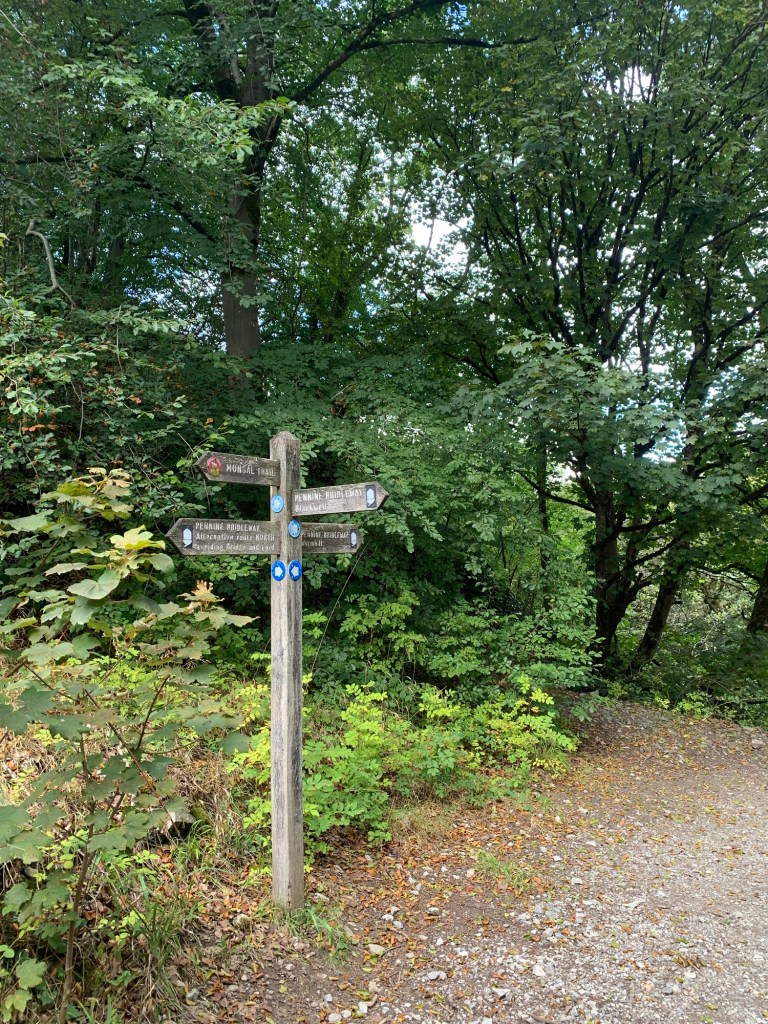
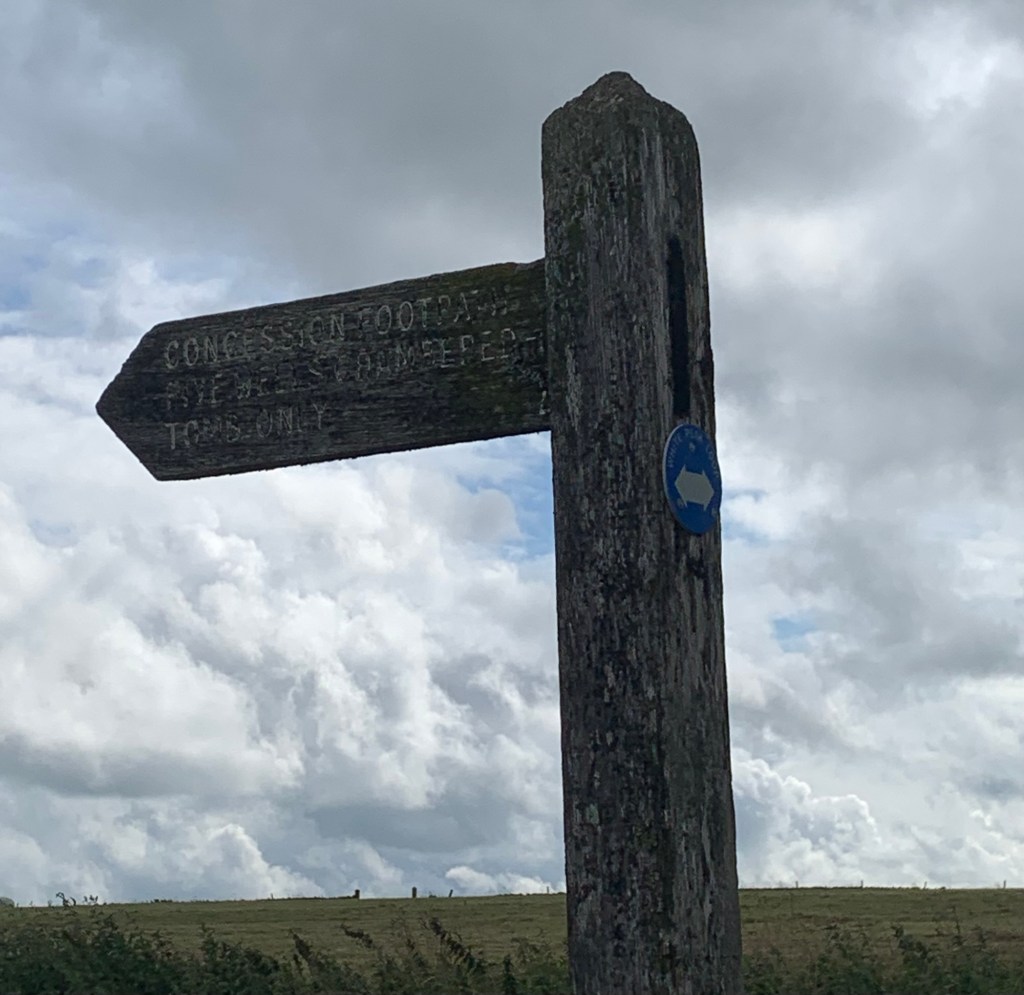
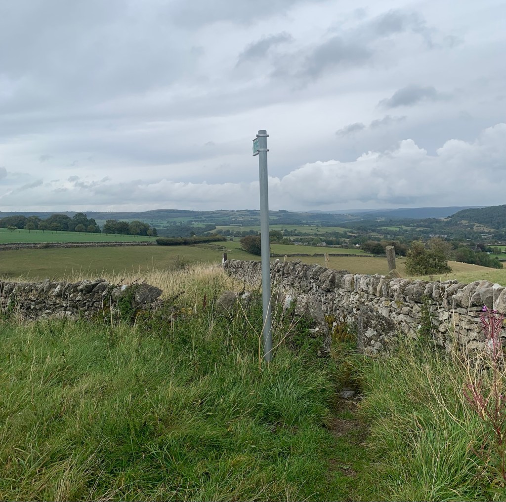
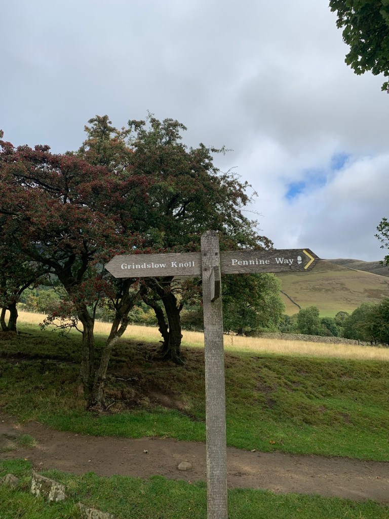
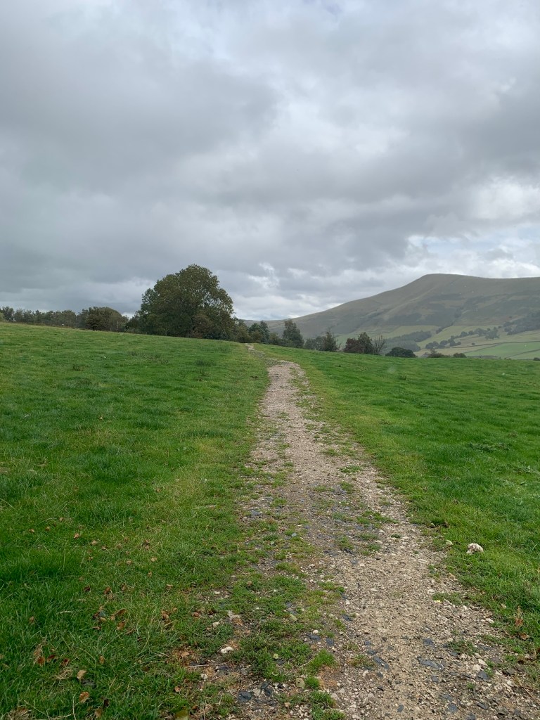
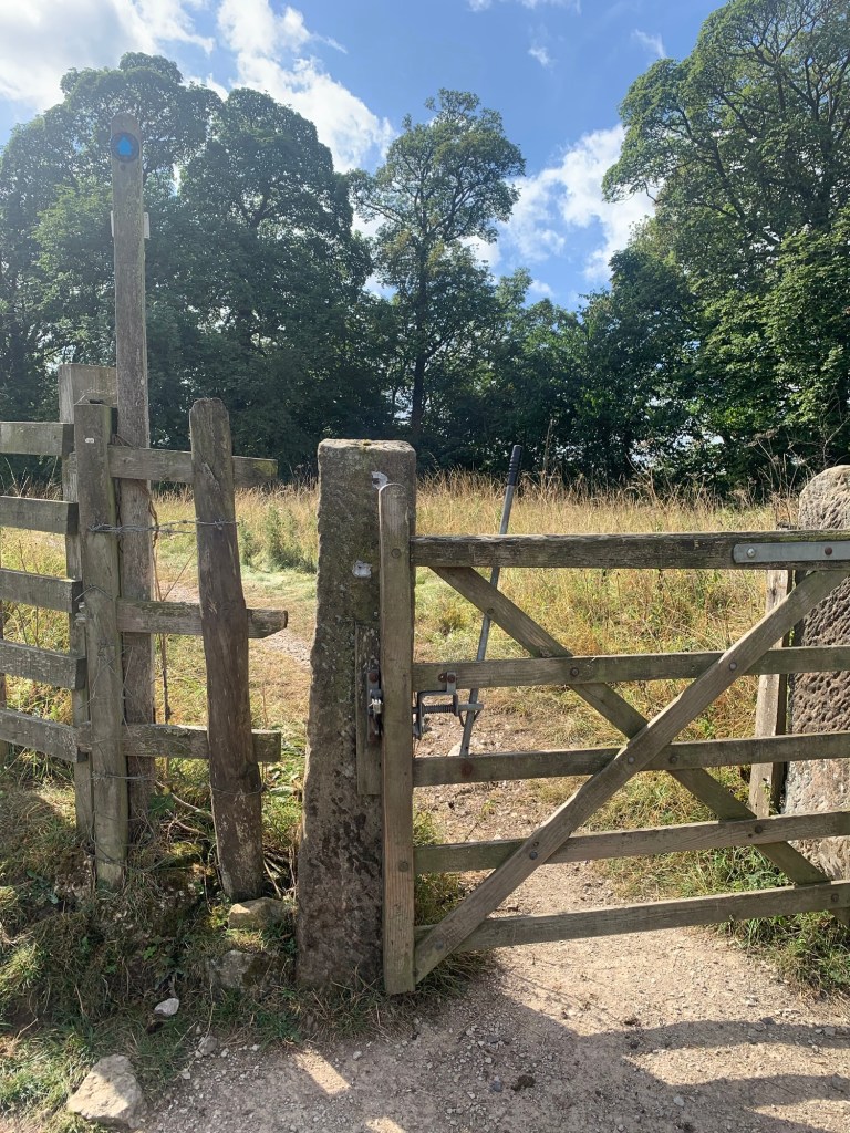
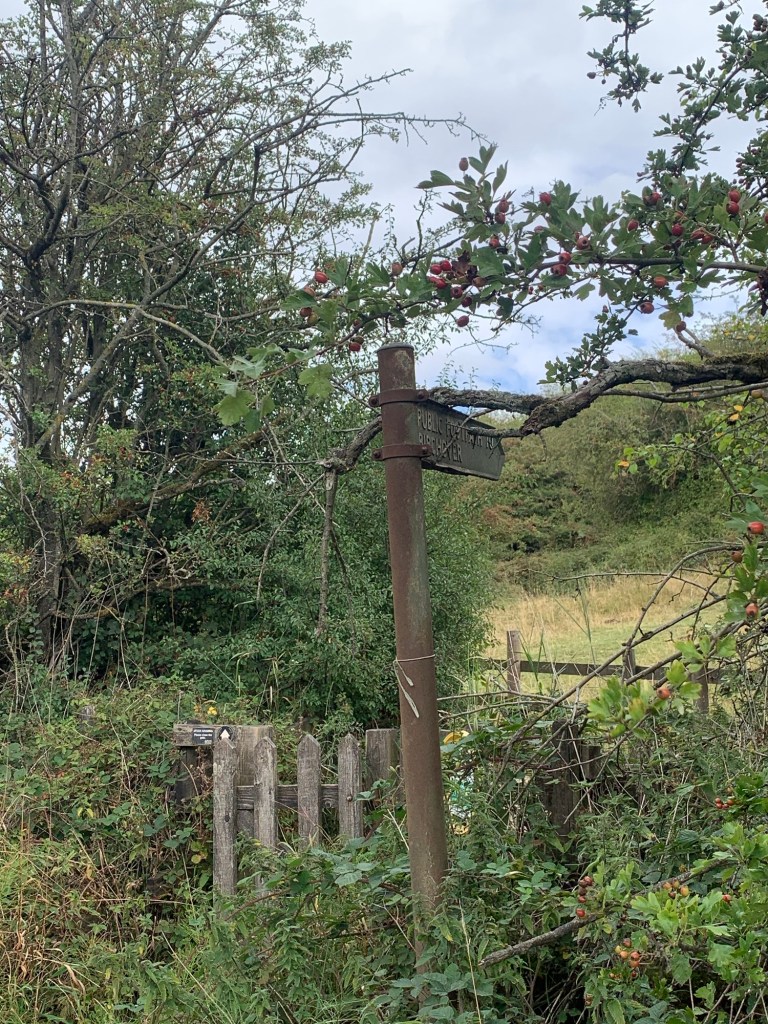
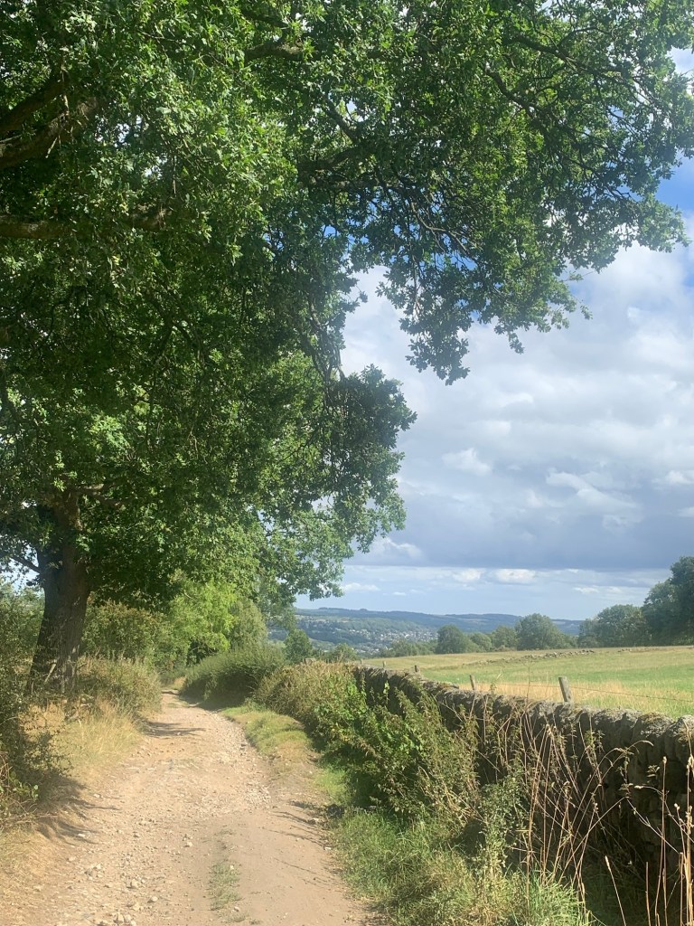
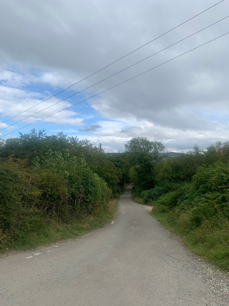
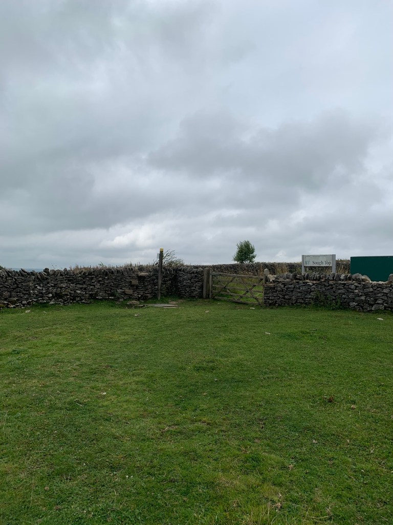
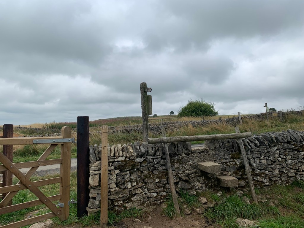
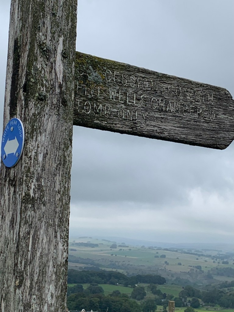
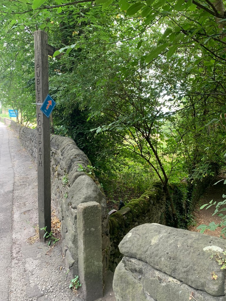
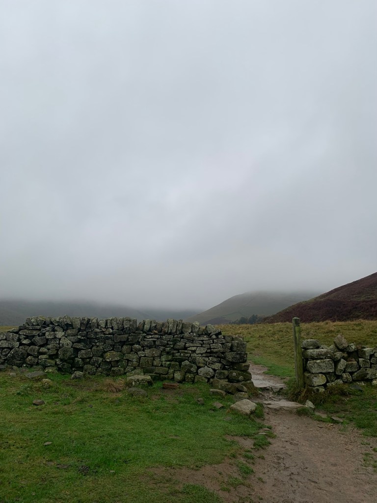
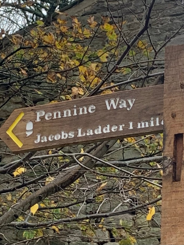
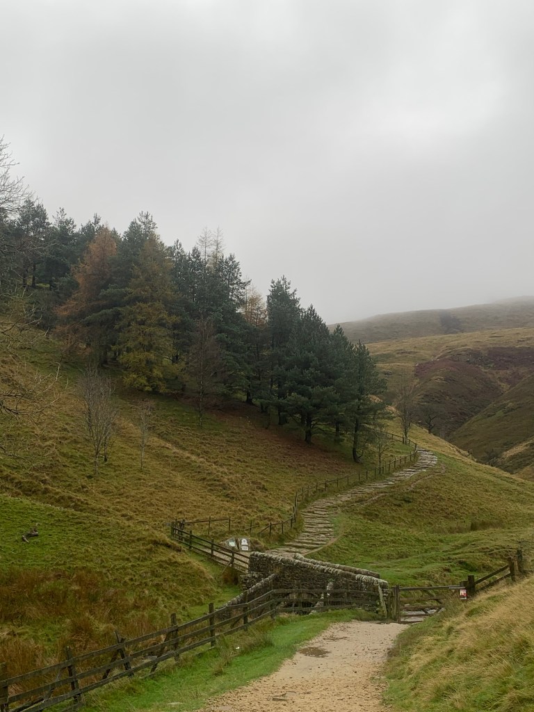
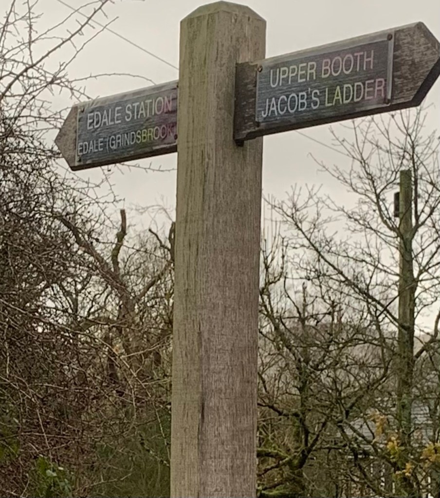
This path is nothing less than the official start of the Pennine Way.
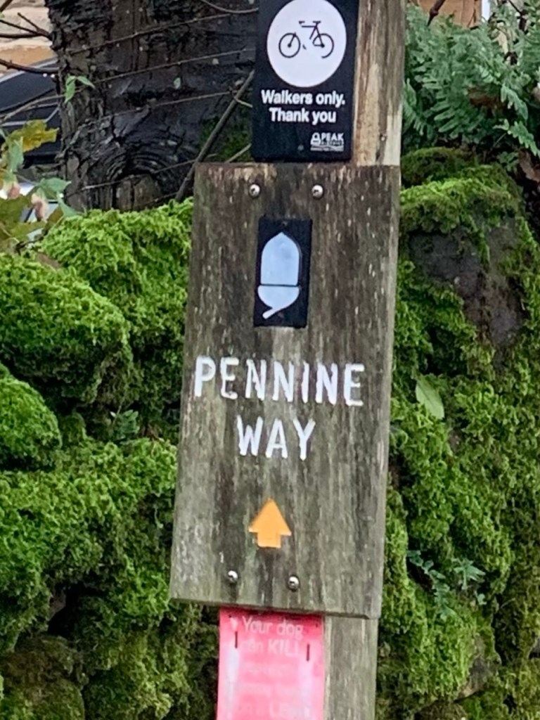
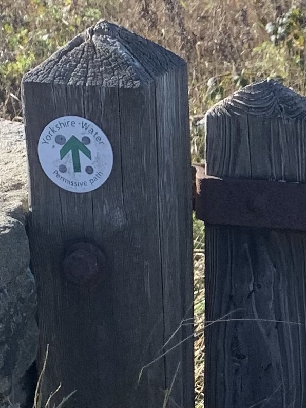
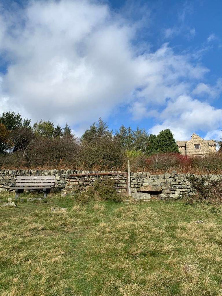
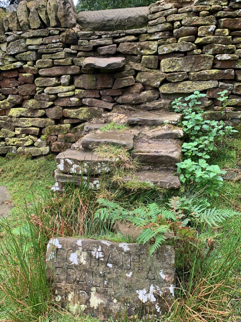
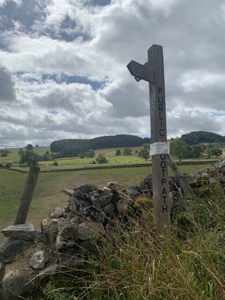
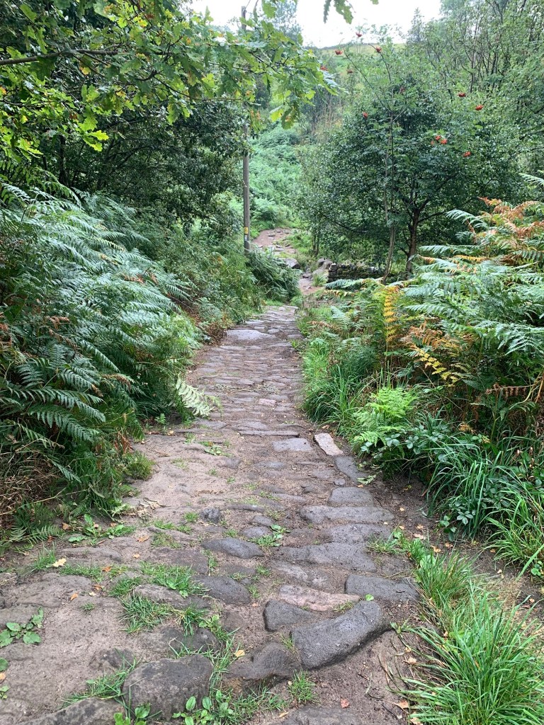
Although my memory of Pennine Way signage is that it can be less than perfect at times, the start is certainly well marked and this makes life very easy for us, all the way to Upper Booth and the Jacob’s Ladder path itself.
In fact there’s really no need for me to give any further directions here other than to follow the Pennine Way finger posts.
Back in the early days of the Pennine Way , the route up Jacob’s Ladder was only a wet weather alternative start and the standard start was to walk up Grindsbrook and head straight across the top of Kinder to the Downfall.
It didn’t take long for this to aggravate the erosion problems of the Kinder plateau to a ridiculous degree, with many tales of unsuspecting and overladen Pennine Wayfarers getting stuck in the peat bogs and having to be hauled out by their companions.
Eventually someone twigged that besides not doing the reputation of our long distance footpath any favours, more importantly, the havoc being inflicted onto the environment was inexcusable, and slowly from then on, things began to change.
These days there’s so much dedication and impressive hard work going into caring for the peat moors, it’s heartwarming to see.
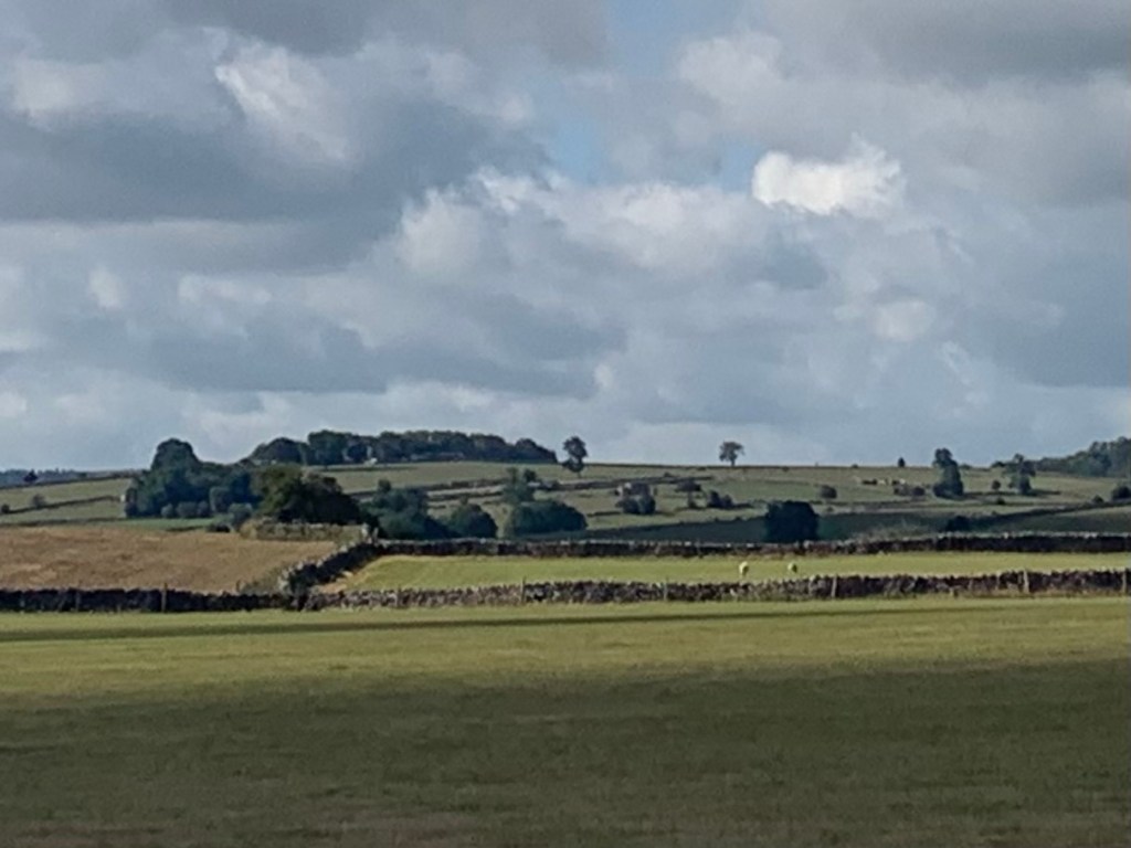
Although there’s always lots more left to do, the progress is clearly visible in numerous places on the Kinder plateau and the Dark Peak, with mosses and plant life taking hold and various species of birds and other wildlife rediscovering the region each year.
To find out more about the rewilding of the moors and the thinking behind it, I’d recommend a visit to Moors for the Future’s website and better still, sign up for the regular newsletters from Bog Standard, (its worth it, if only for the name!)
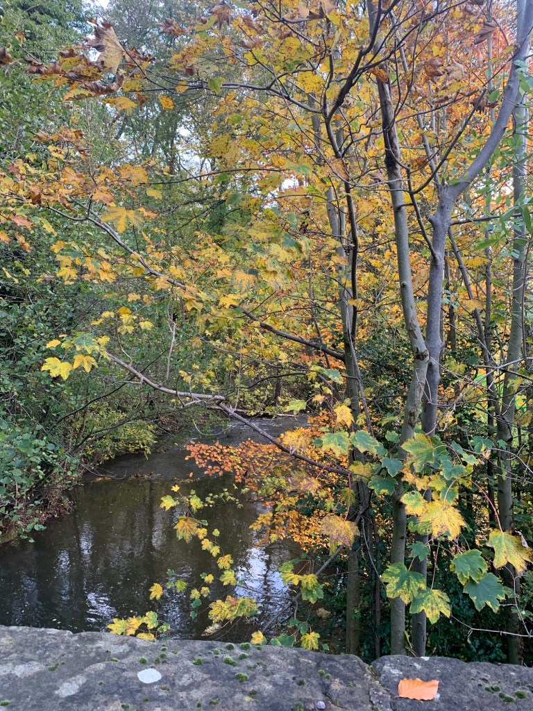
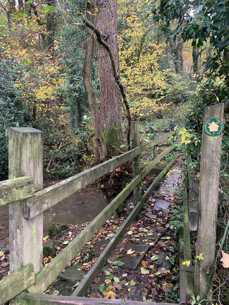
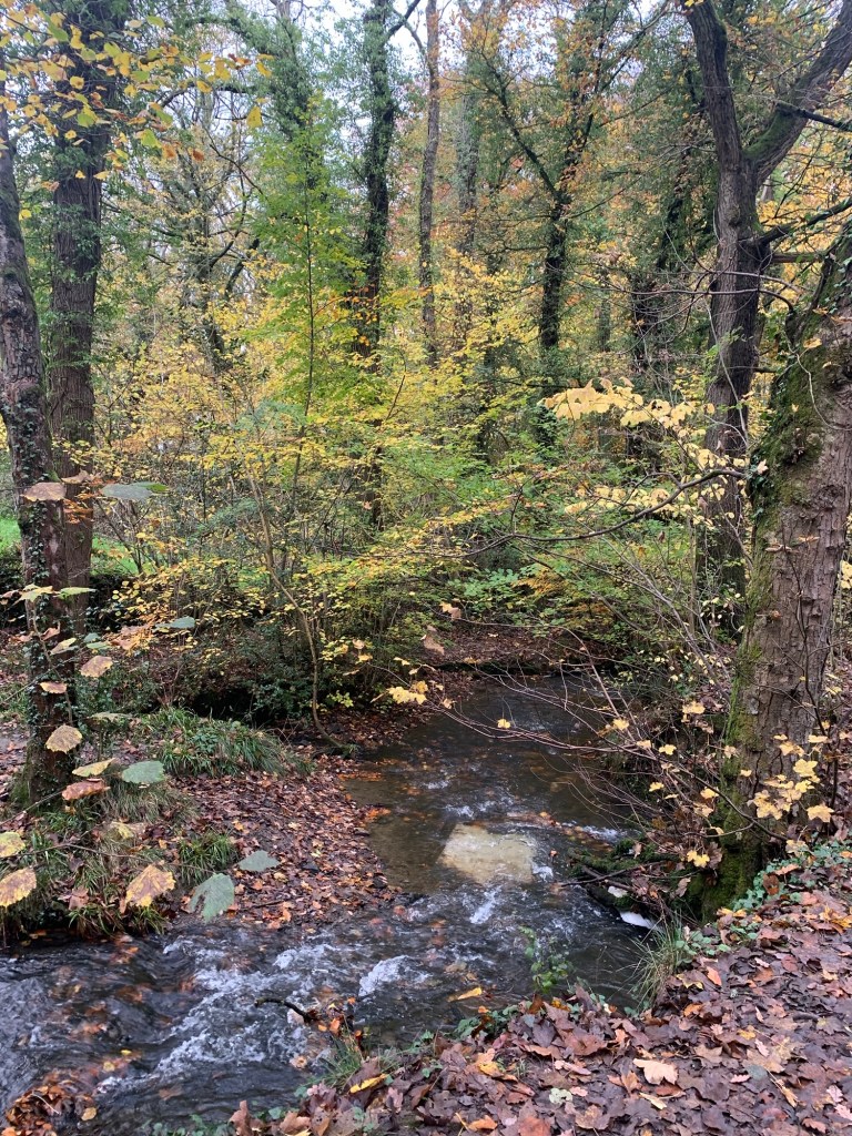
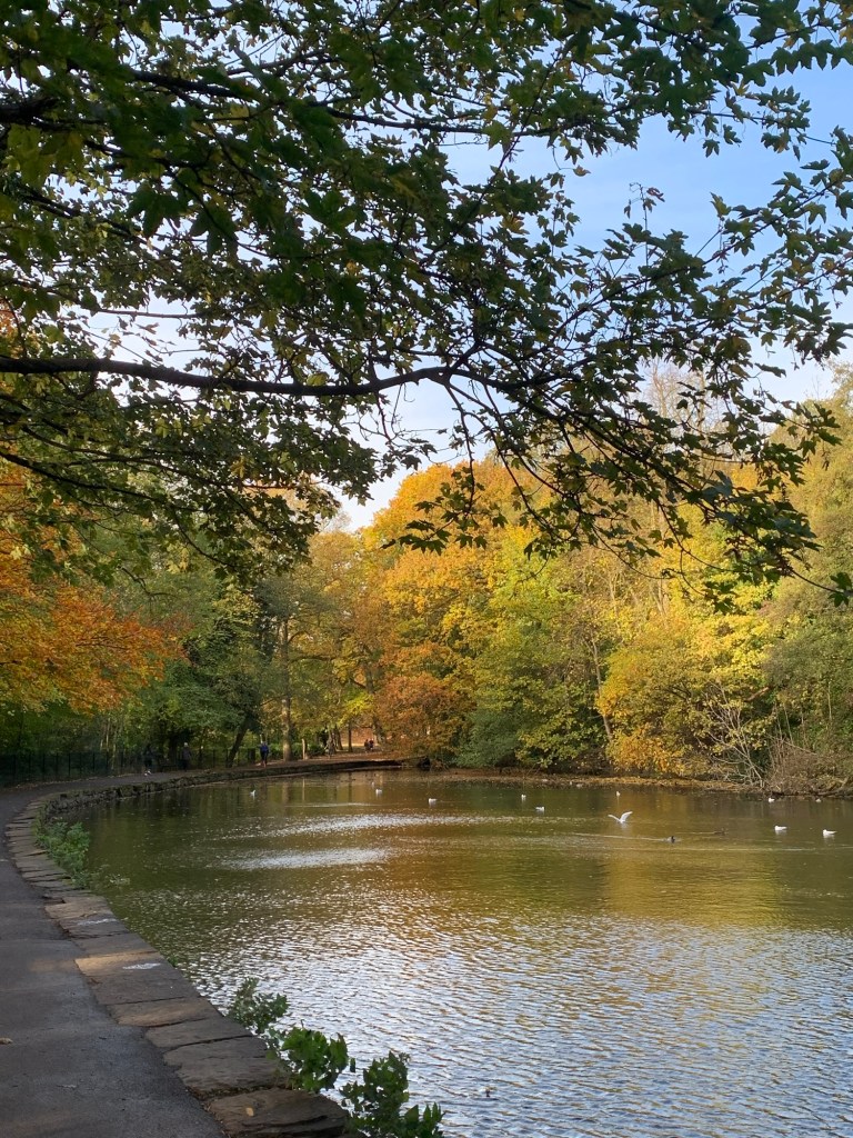
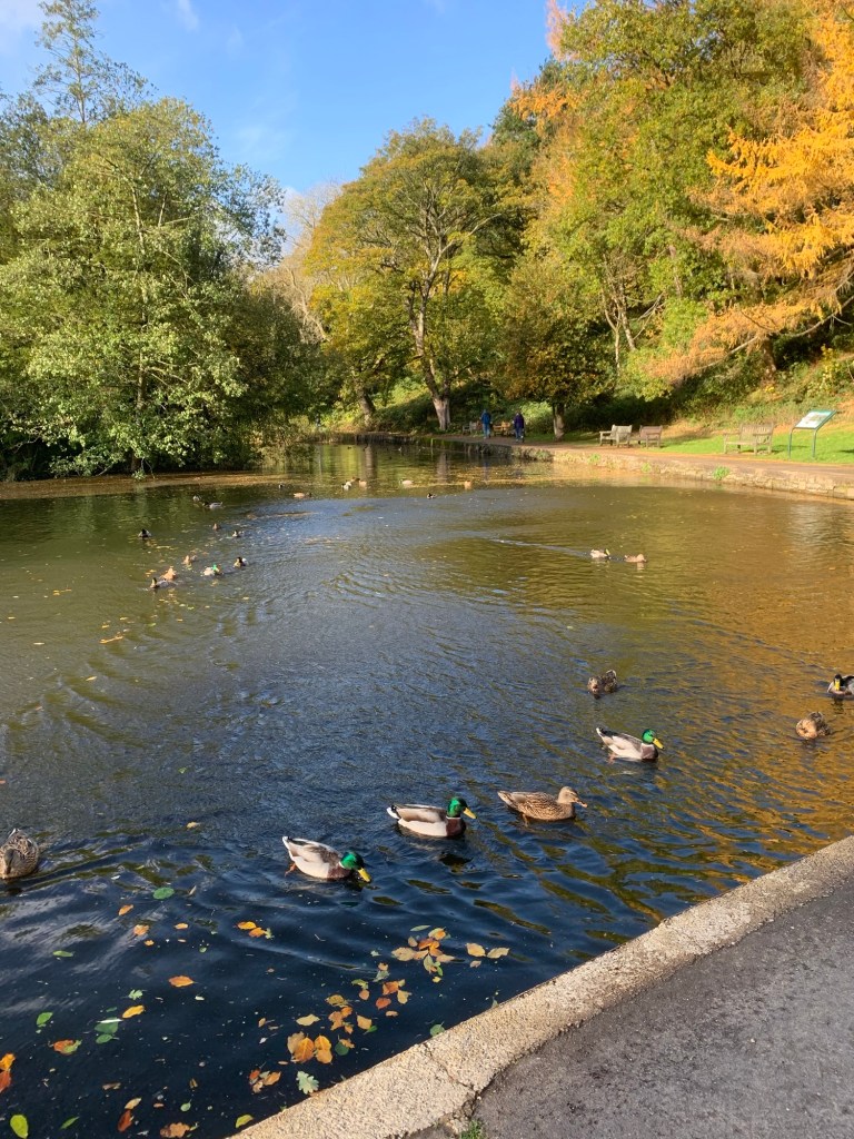
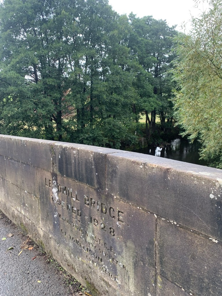
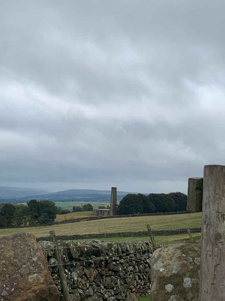
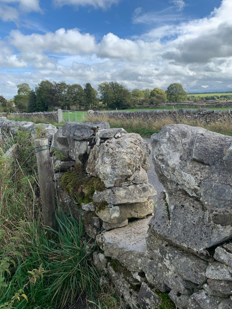
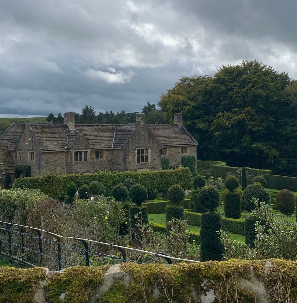
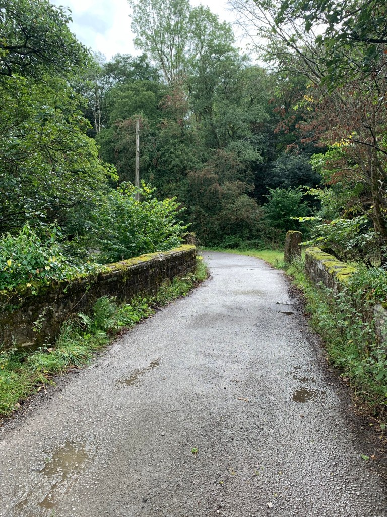
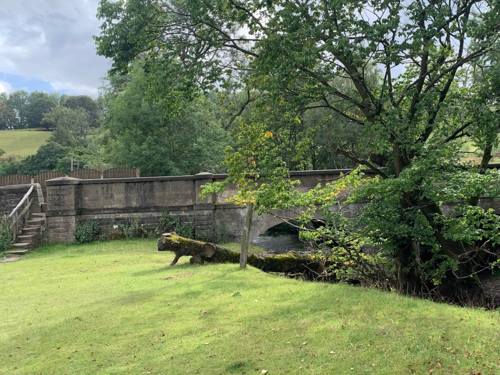
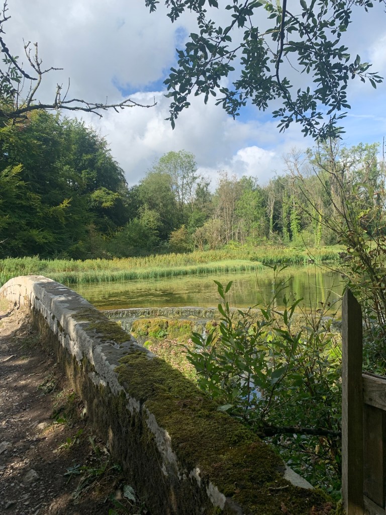
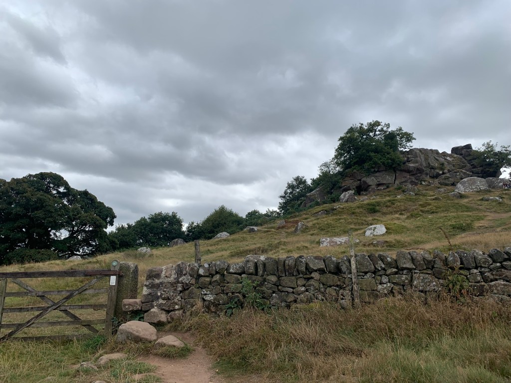
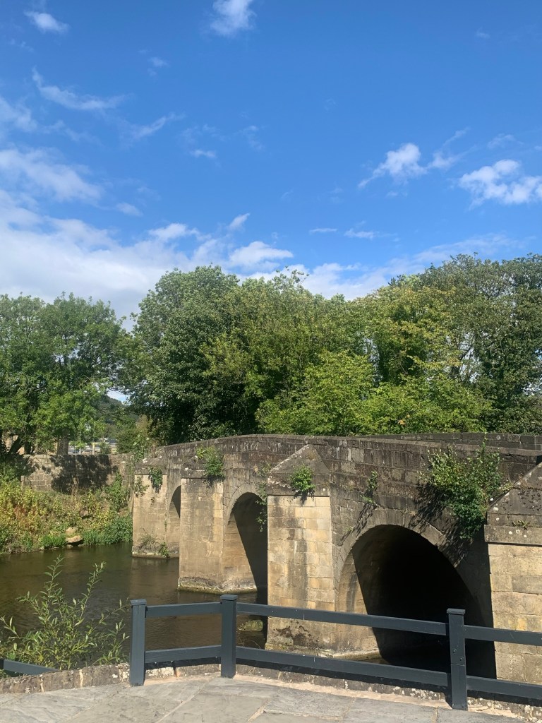
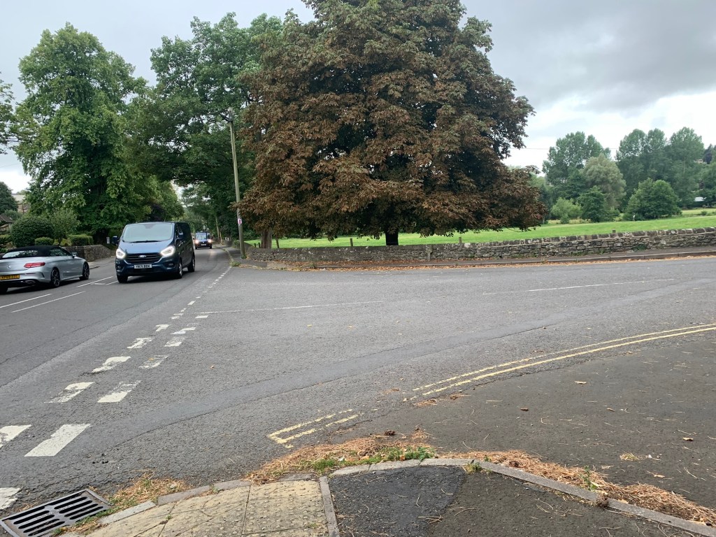
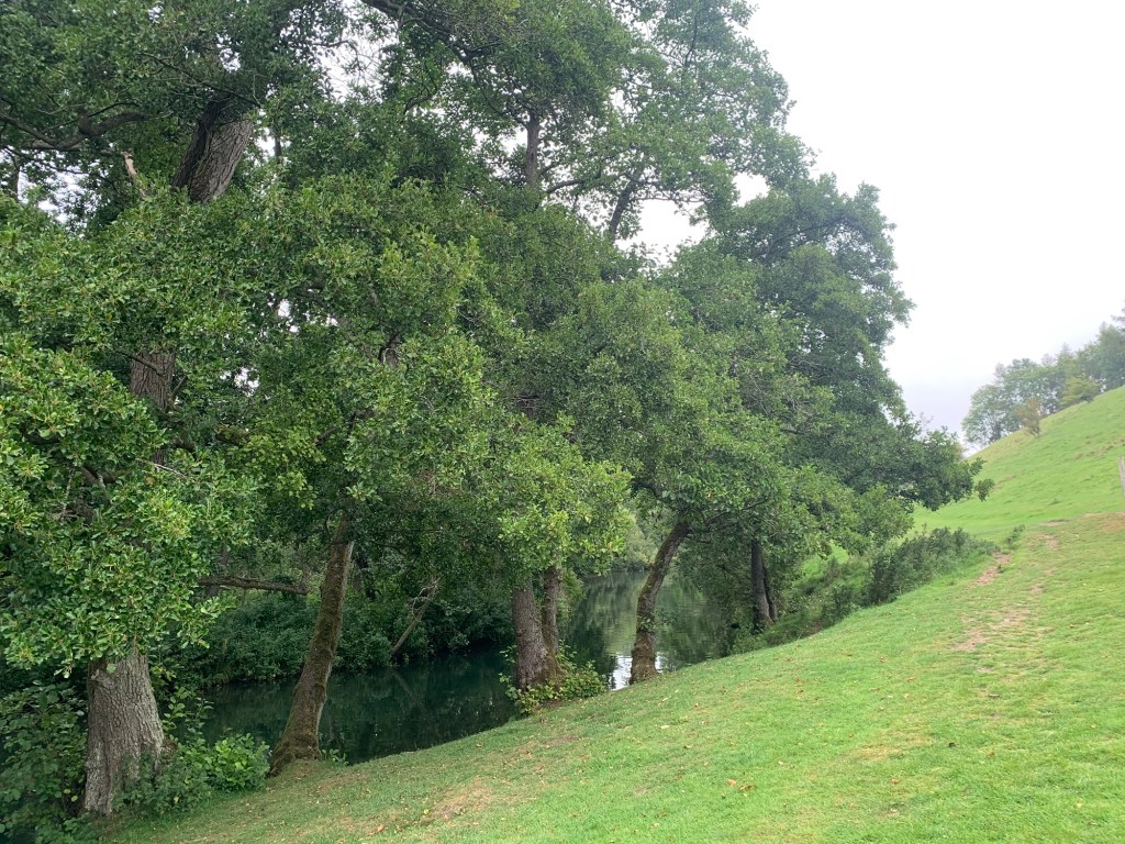
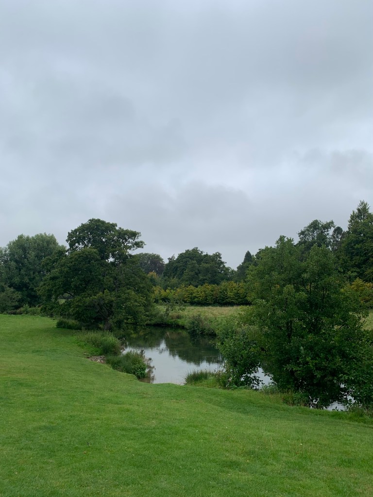
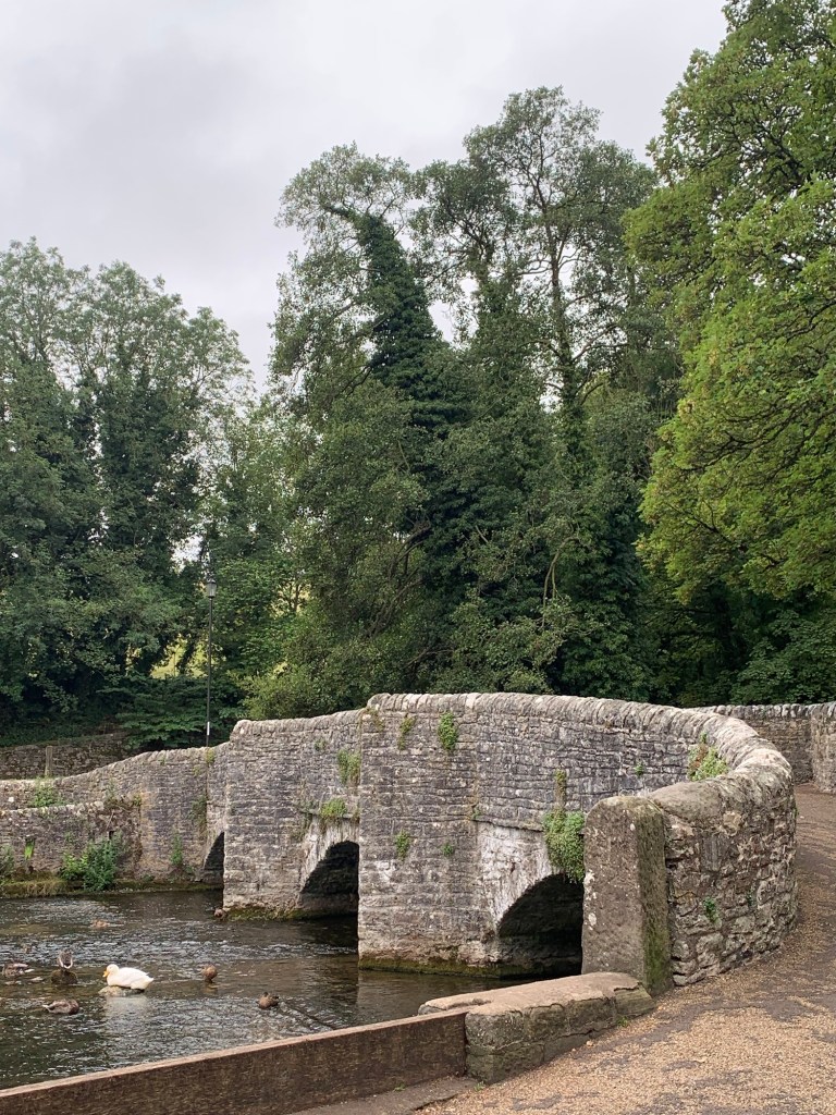
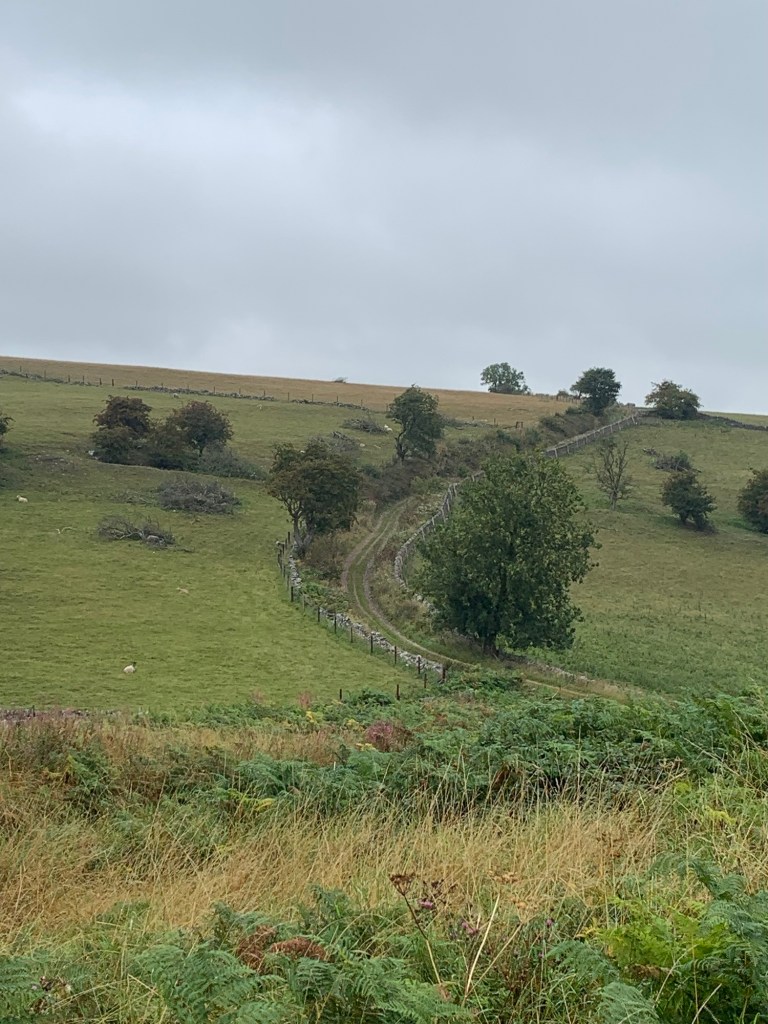
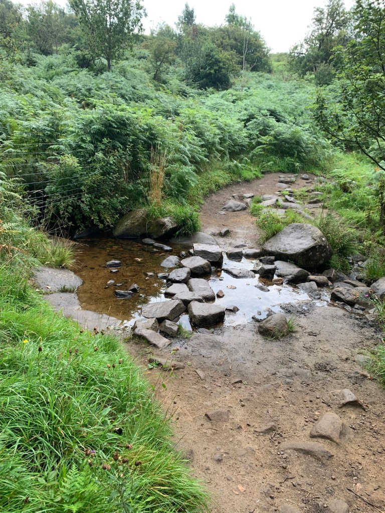
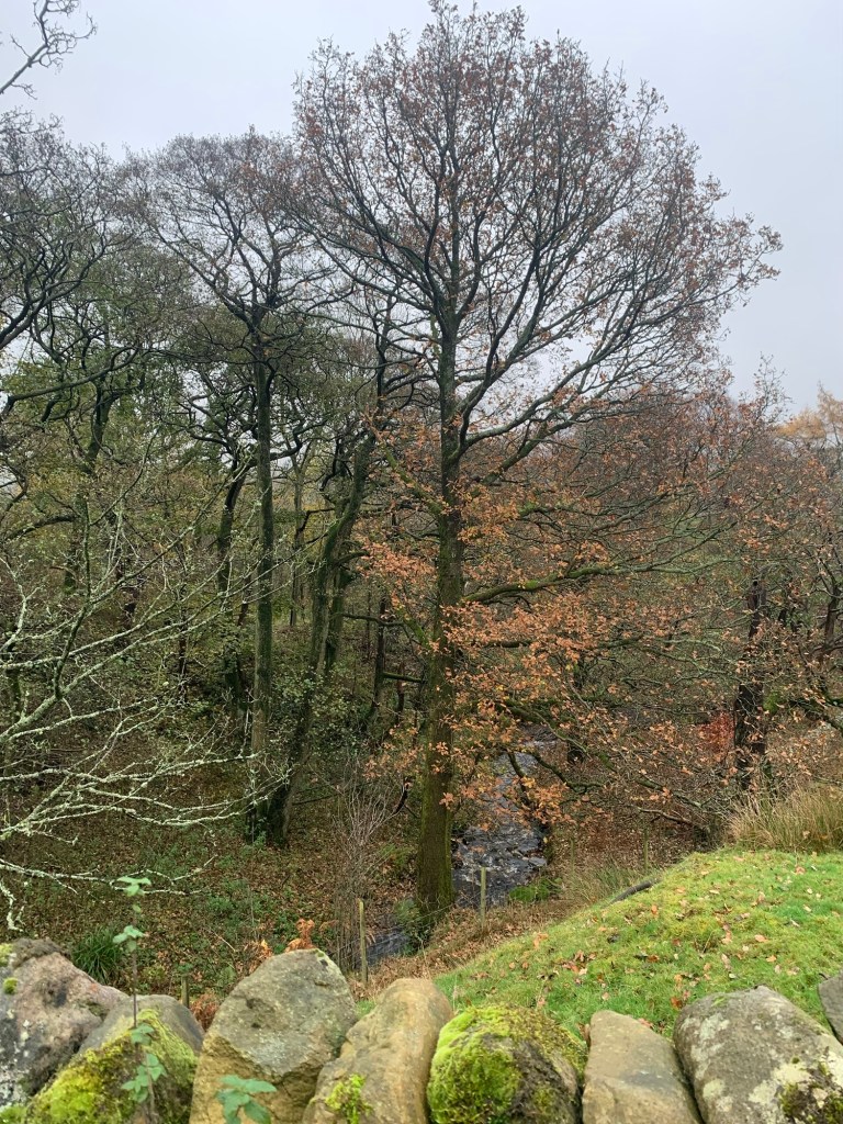
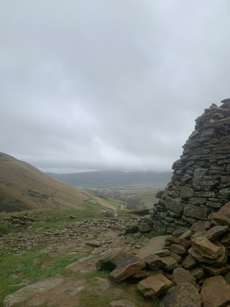
At the foot of the Jacob’s Ladder path, sits a beautiful 17th century pack horse bridge over the River Noe.
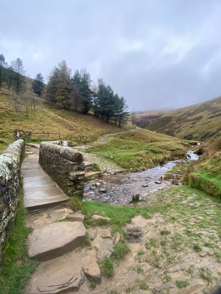
The pack horse route came this way out of the Edale valley and over to Hayfield from medieval times right up until the mid 18th century. Over the years this route was used to transport commodities such as salt, lead and coal.
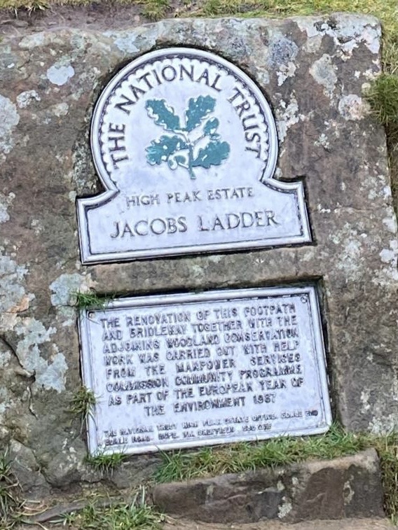
Jacob was Jacob Marshall a “bragger” or pedlar who lived at Edale Head in the 18th century. He took wool to Stockport which he traded for other goods.
He allegedly cut steps into the steepest part of the hillside to make it easier for him to ascend from the Dale Head.
This meant Jacob could take a shortcut while his packhorse ponies ( who evidently knew the way on their own) followed the longer, winding way before joining forces once again at the top of the hill for the rest of the journey.
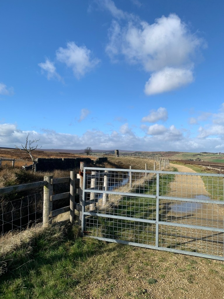
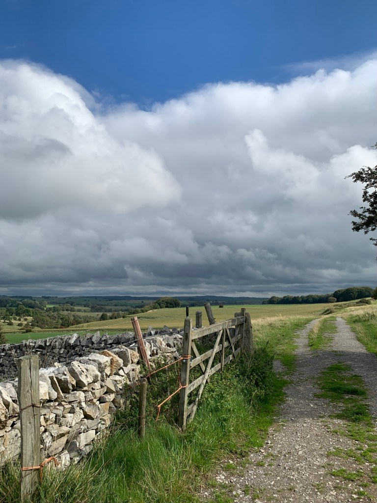
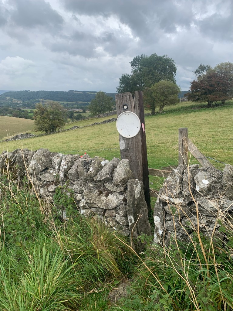
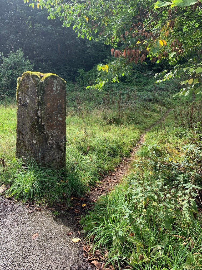
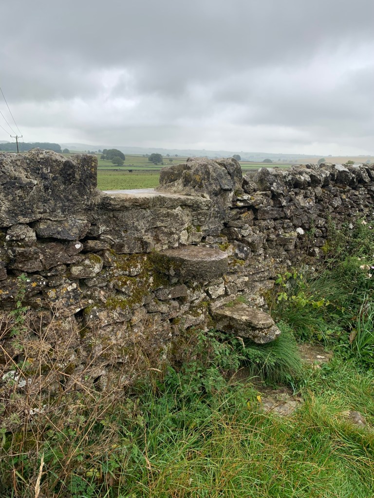
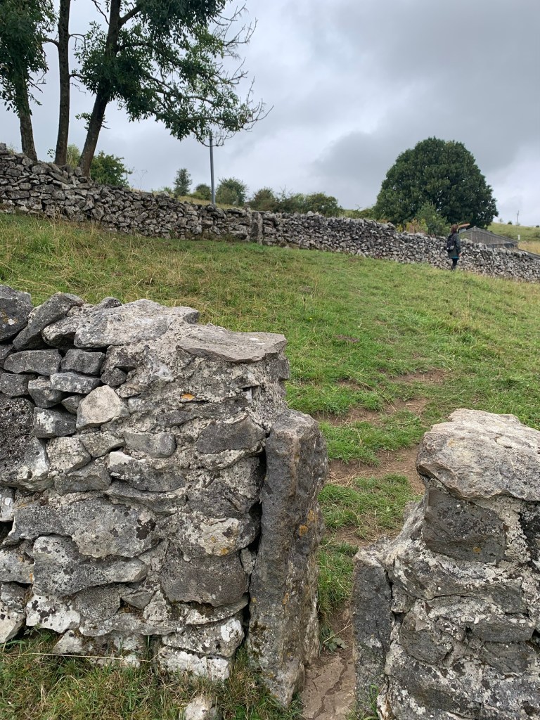
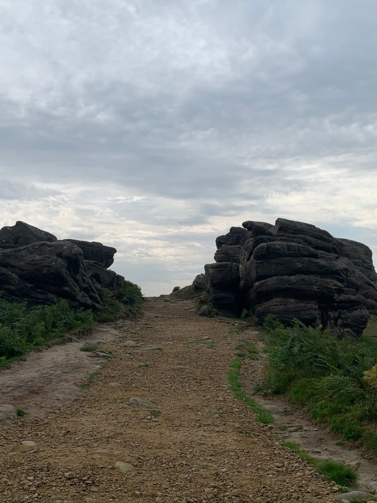
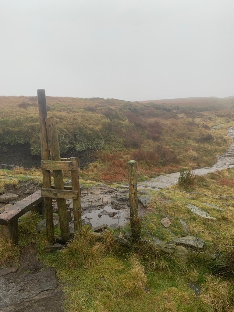
Once over the bridge the Bridleway heads off to the left just by the National Trust sign noting the restoration project of the 80s, whilst the footpath climbs straight up the hillside true to the legend.
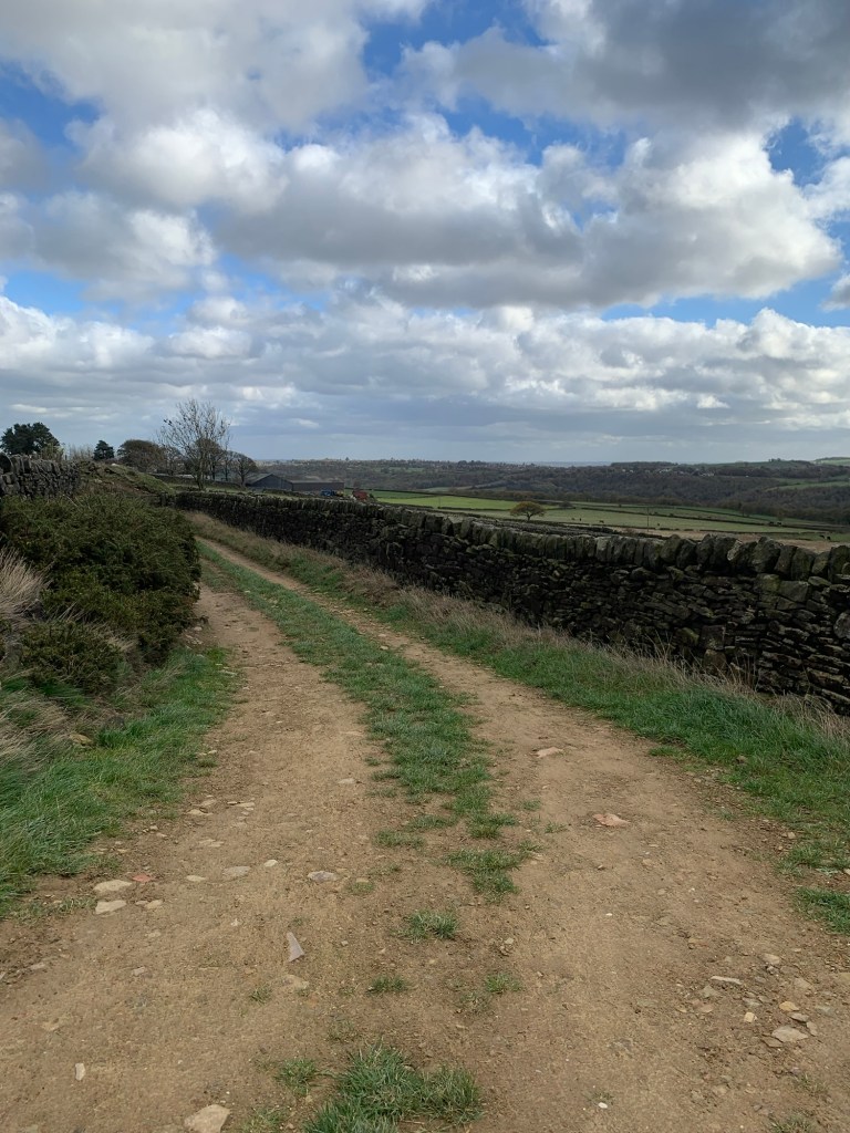
Both paths are well maintained which must be no easy task given their popularity. Quite aside from those setting out along the Pennine Way the path is a firm favourite for all levels of hikers and would-be mountaineers whilst extreme mountain bikers are also known to tackle the Bridleway from time to time.
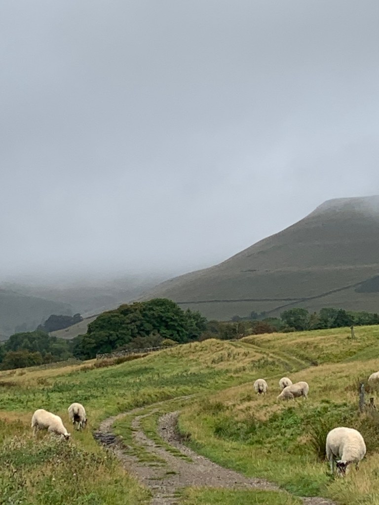
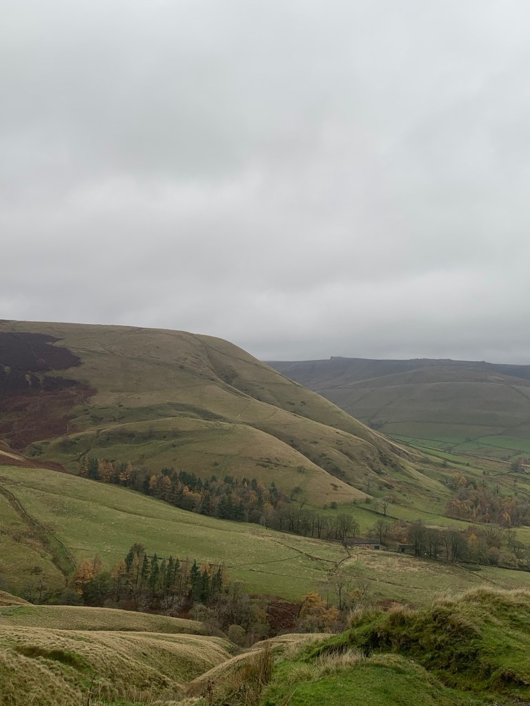
Today it’s very quiet with just a couple of runners enjoying the rain and the mud and ascending considerably more rapidly than we do.
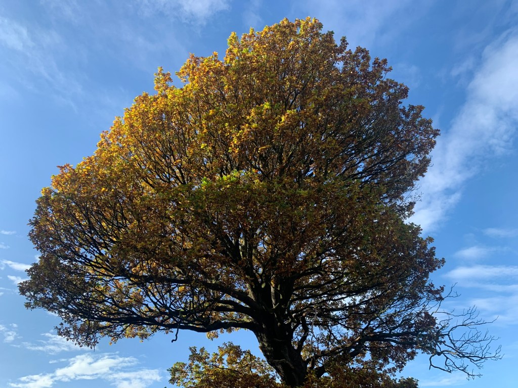
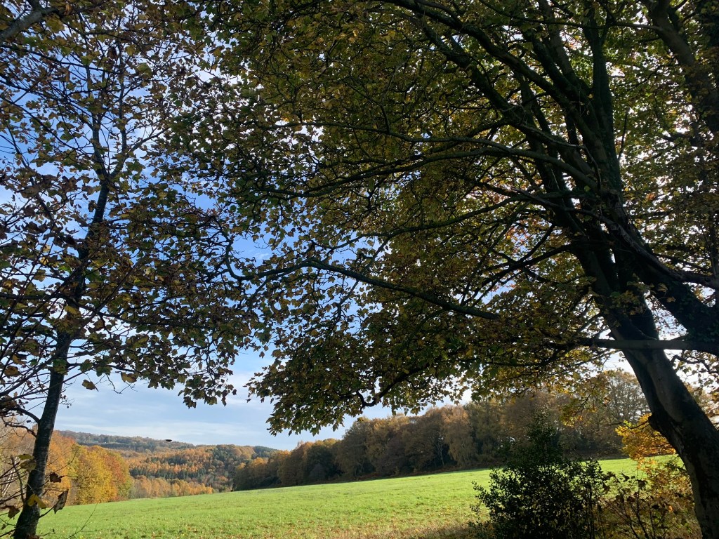
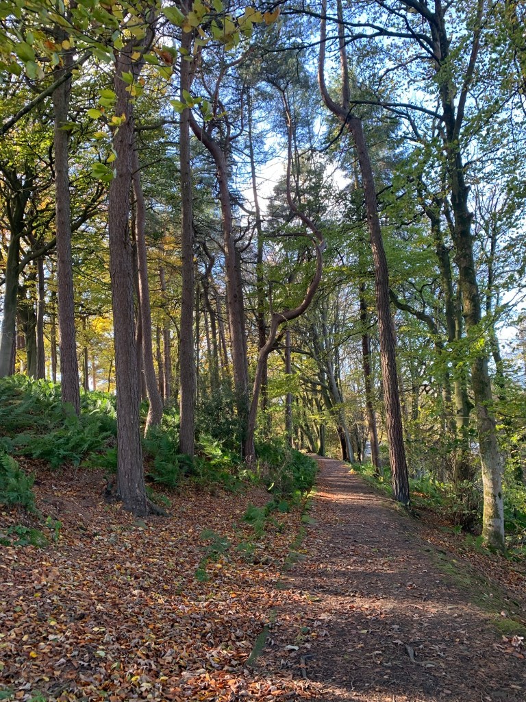
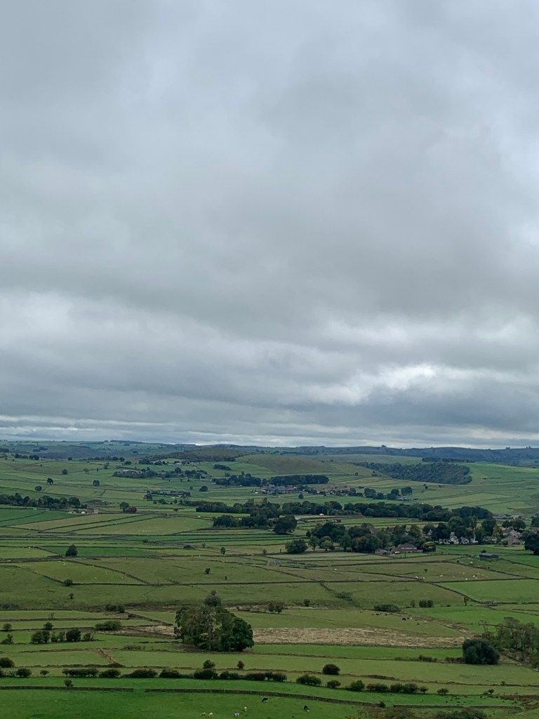
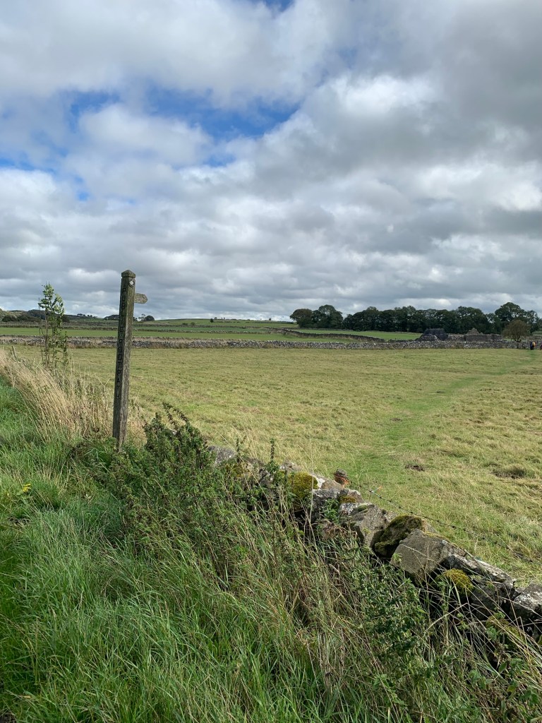
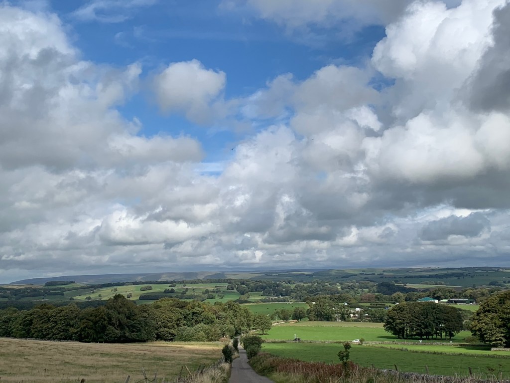
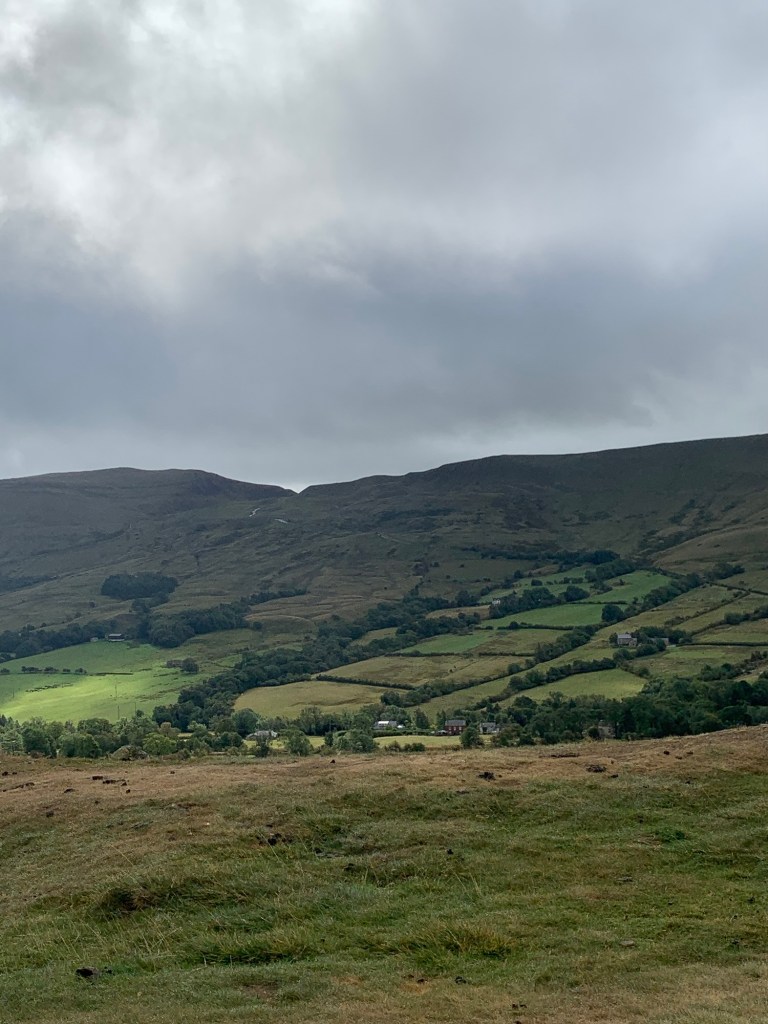
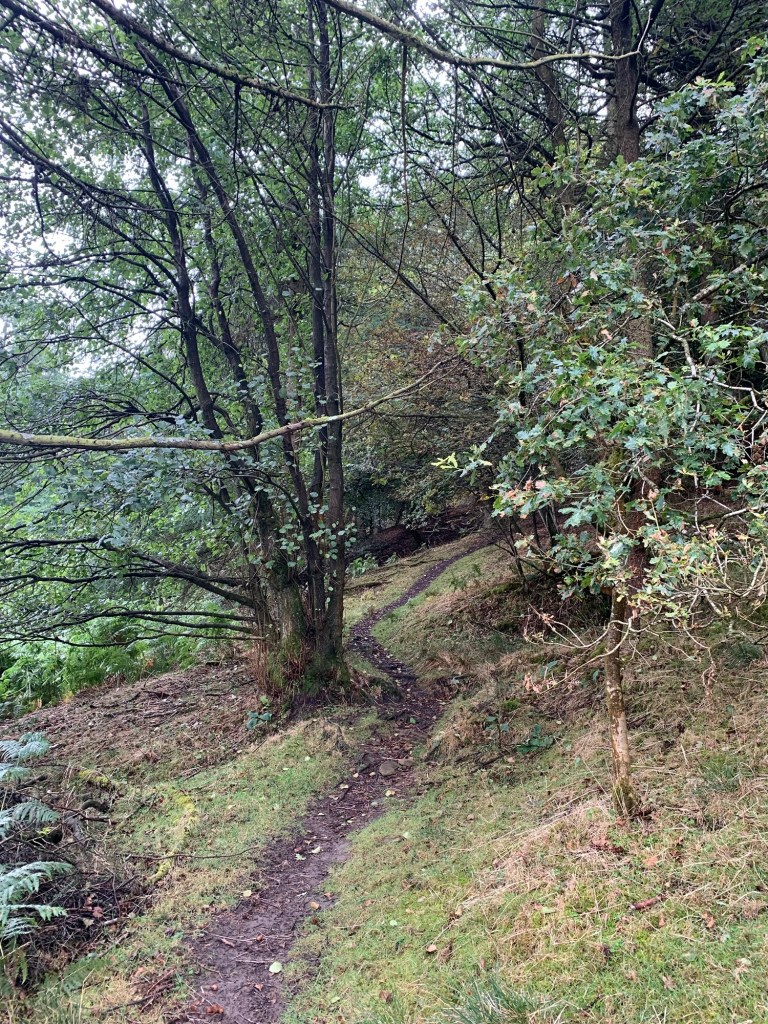
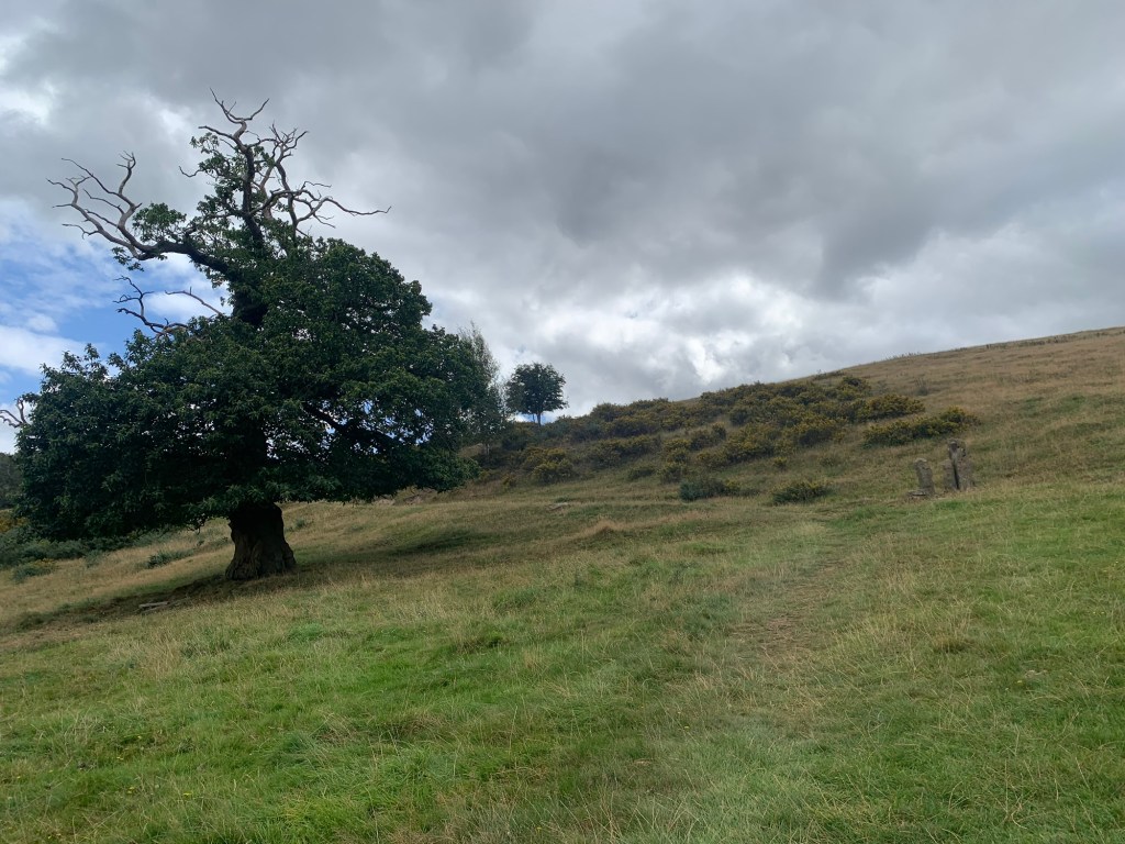
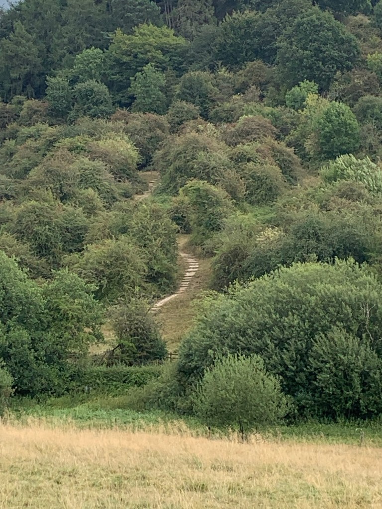
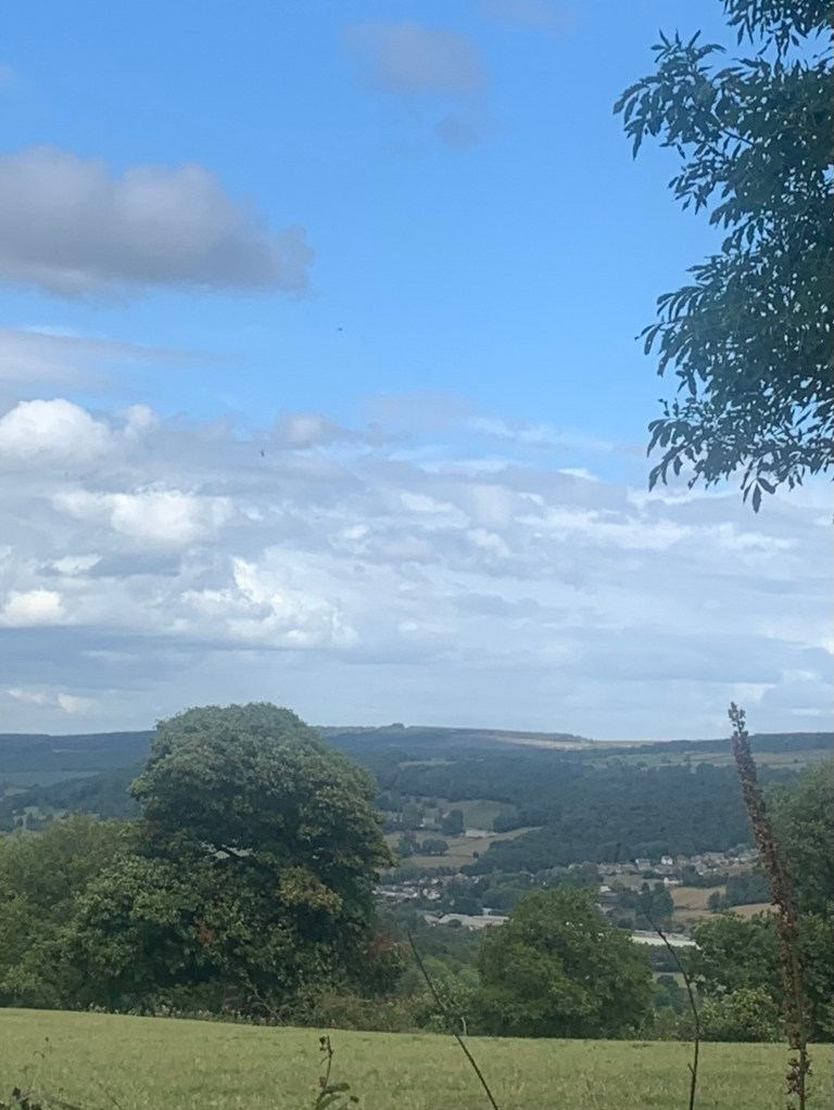
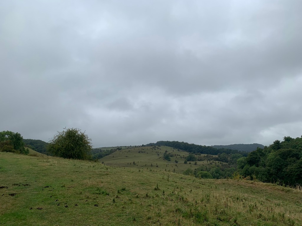
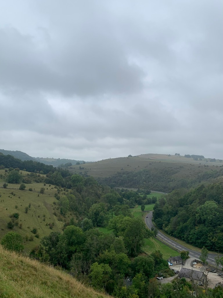
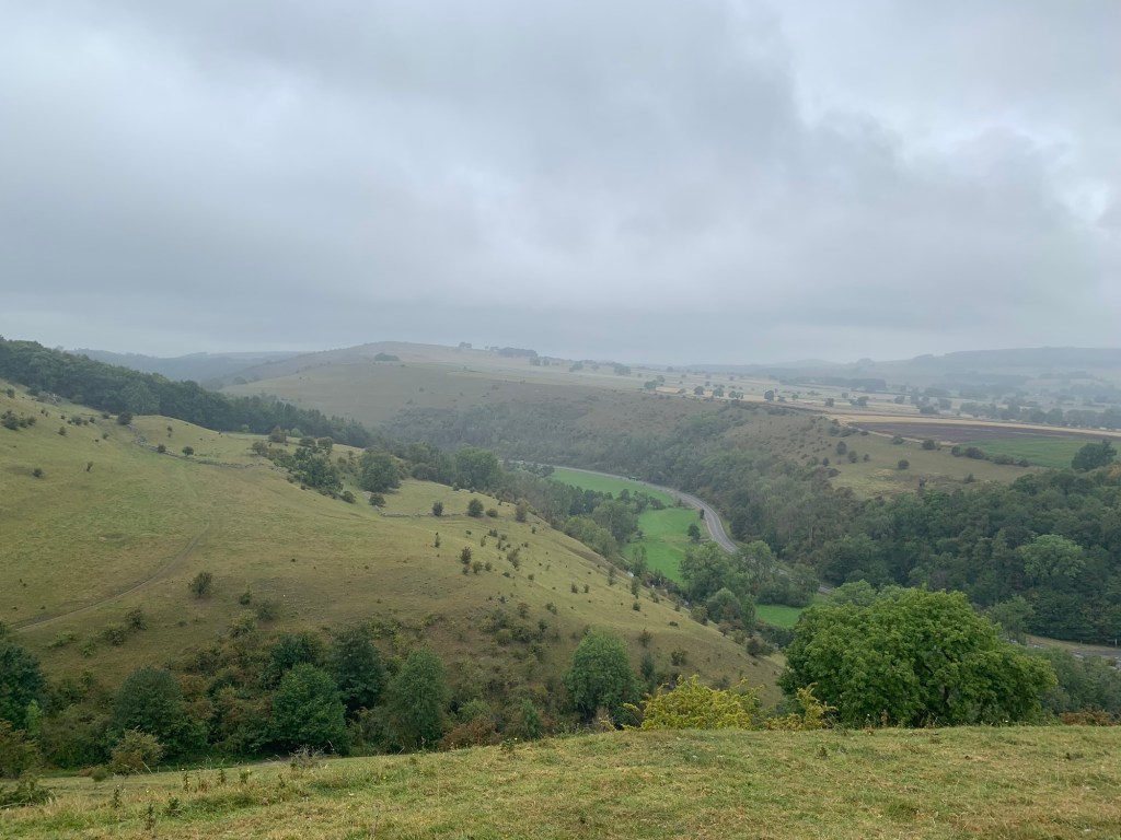
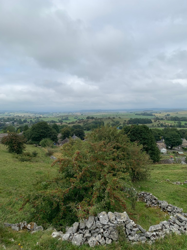
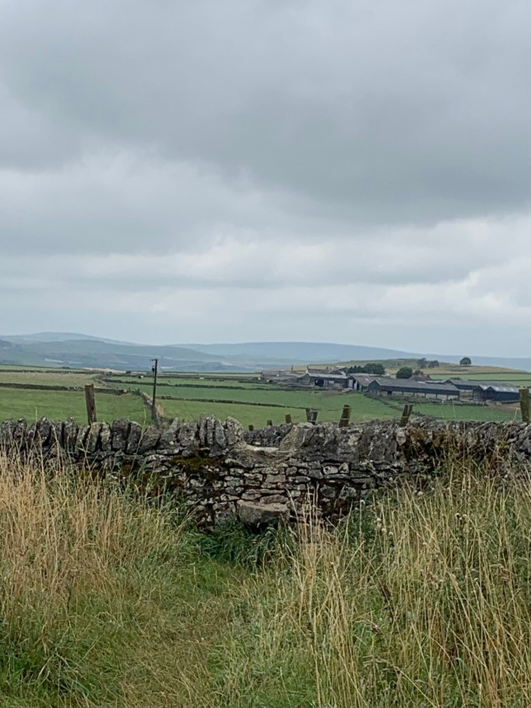
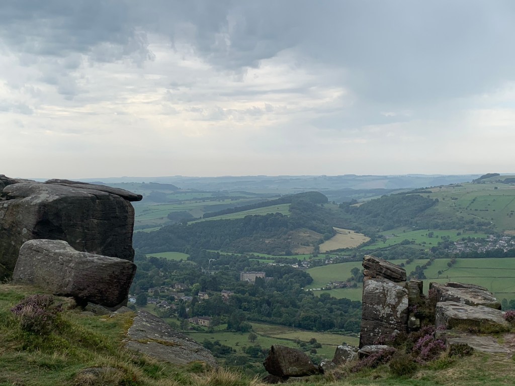
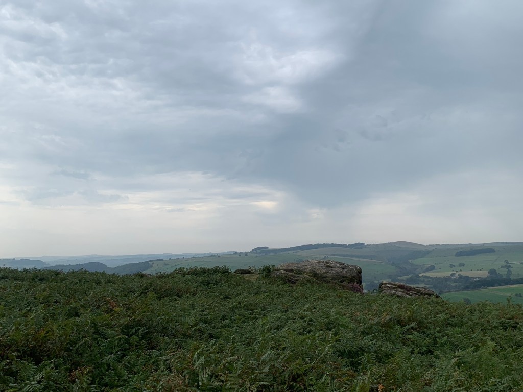
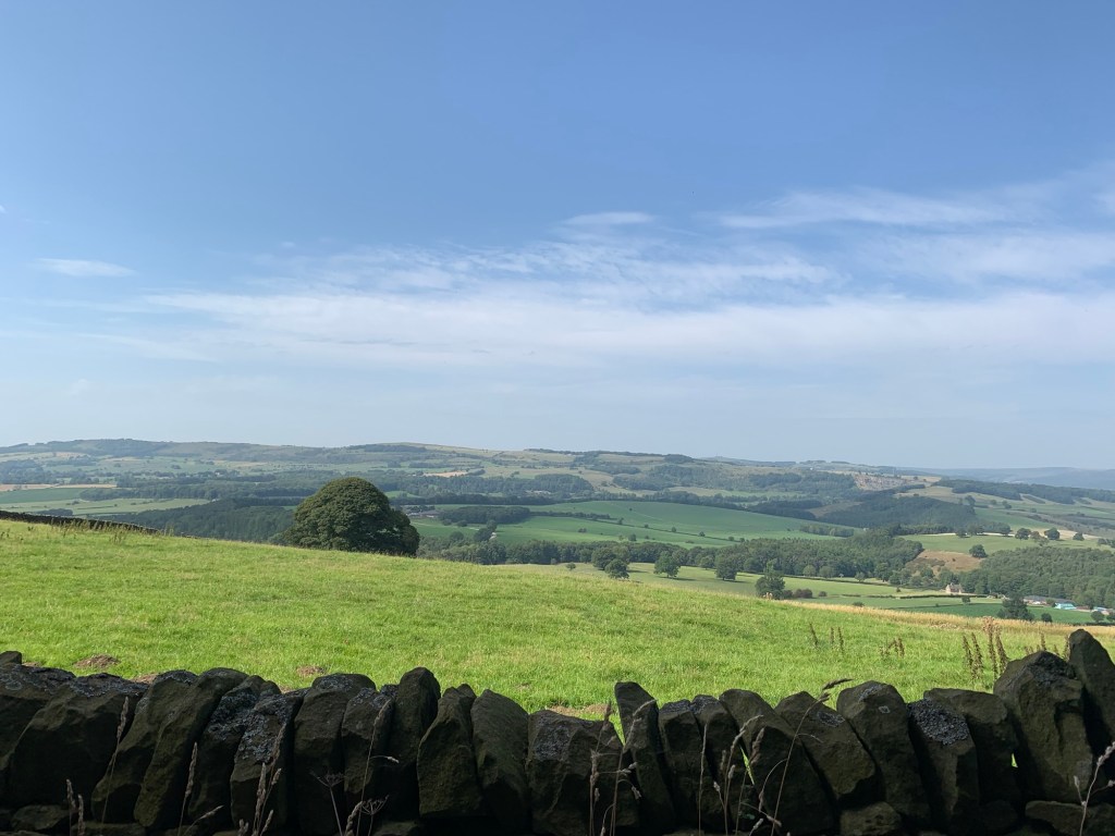
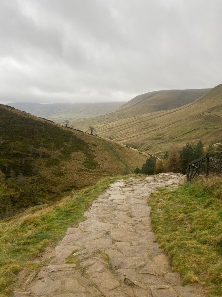
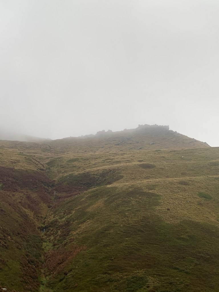
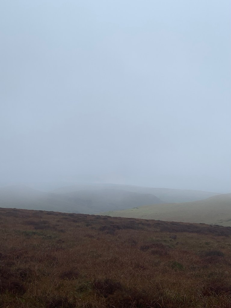
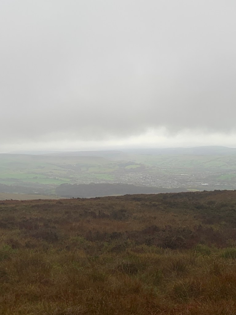
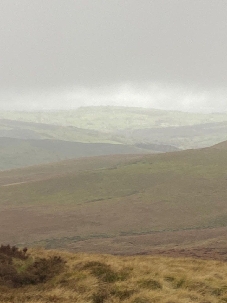
Despite the poor weather or perhaps because of it, the climb up is incredibly atmospheric. Every so often rock outcrops loom through the cloud, or the clouds open up to give us fleeting views back across the Dale.
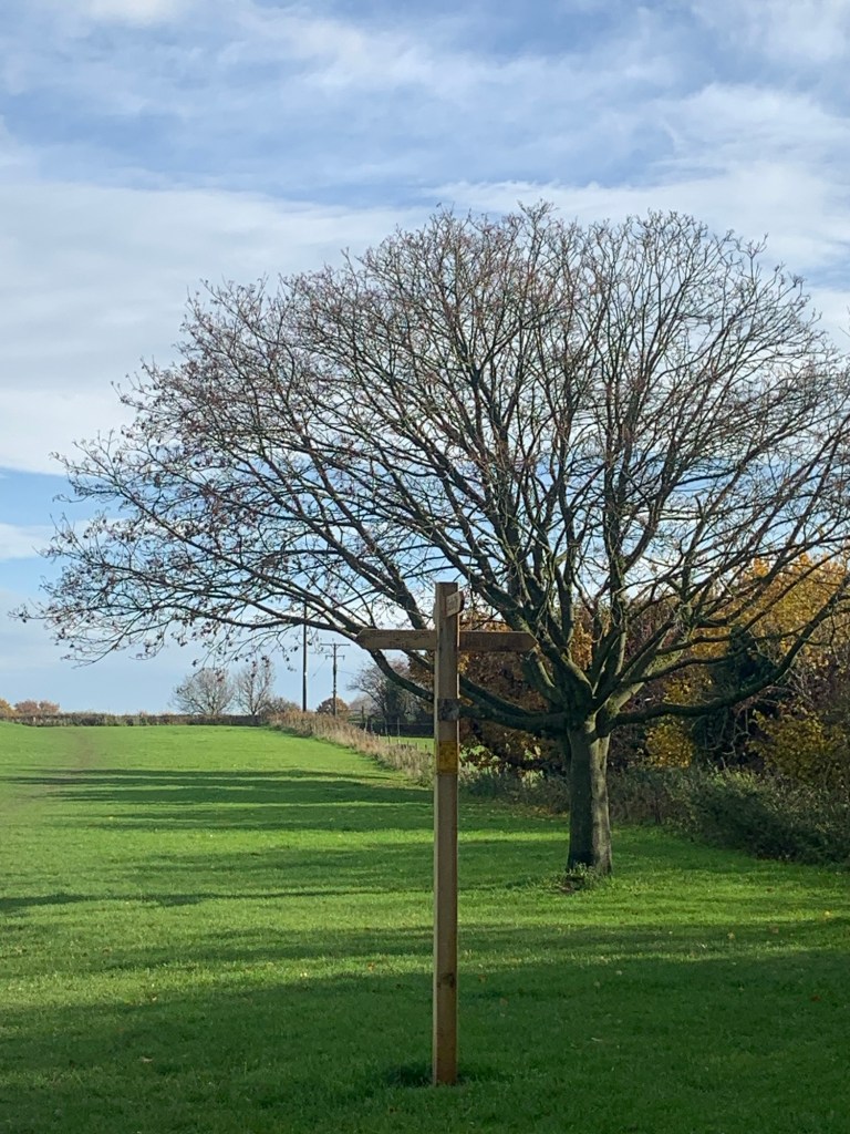
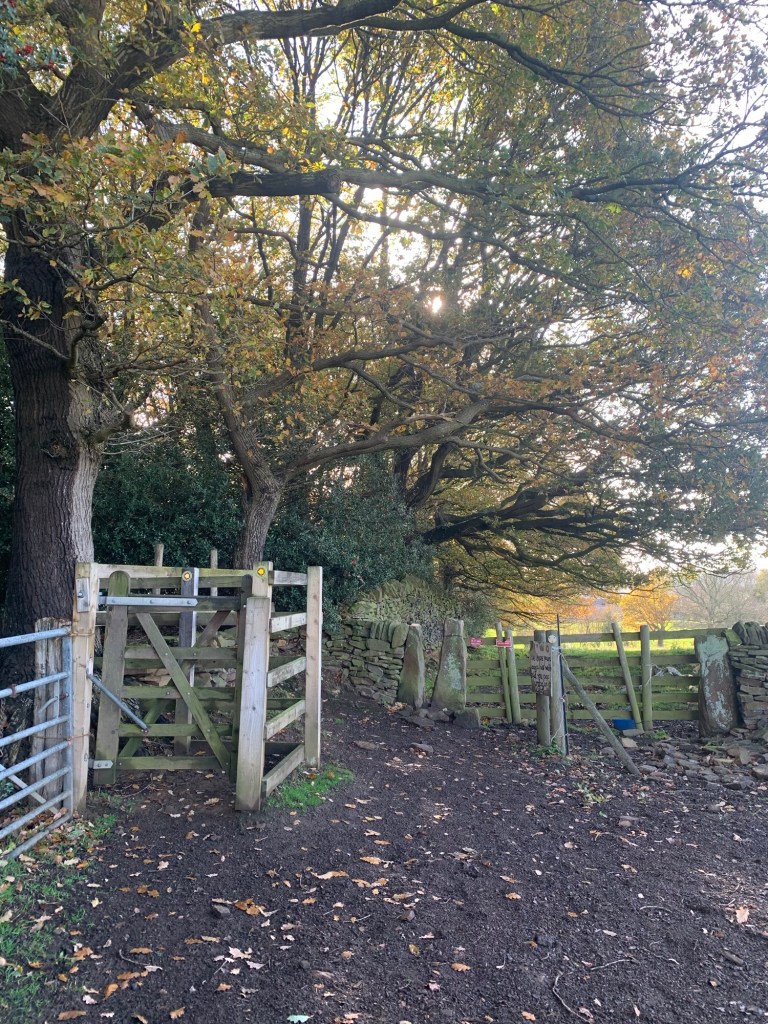
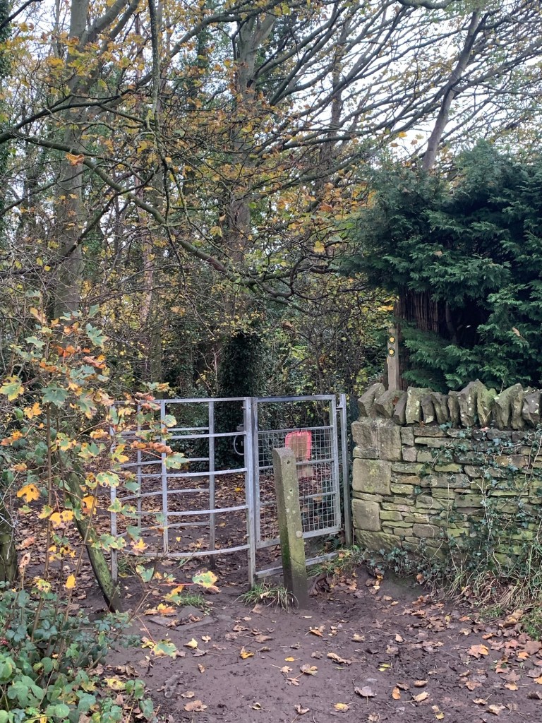
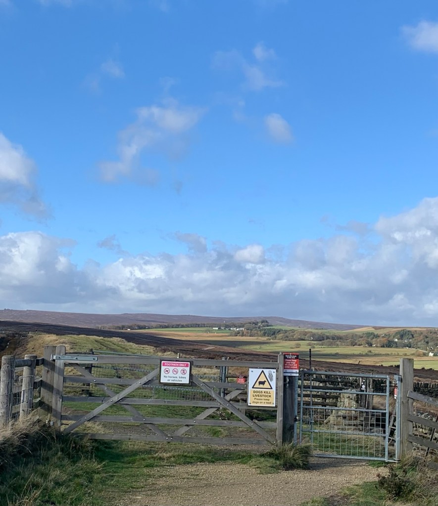
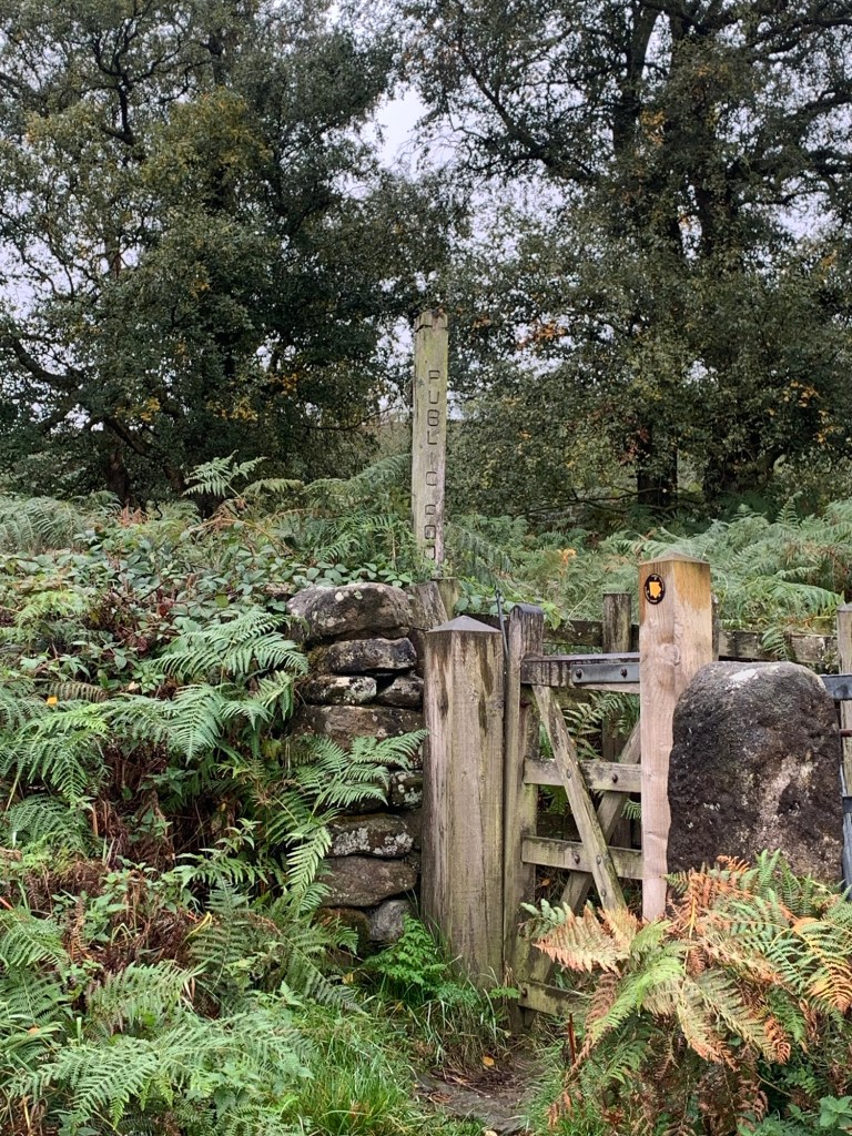
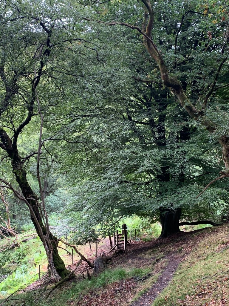
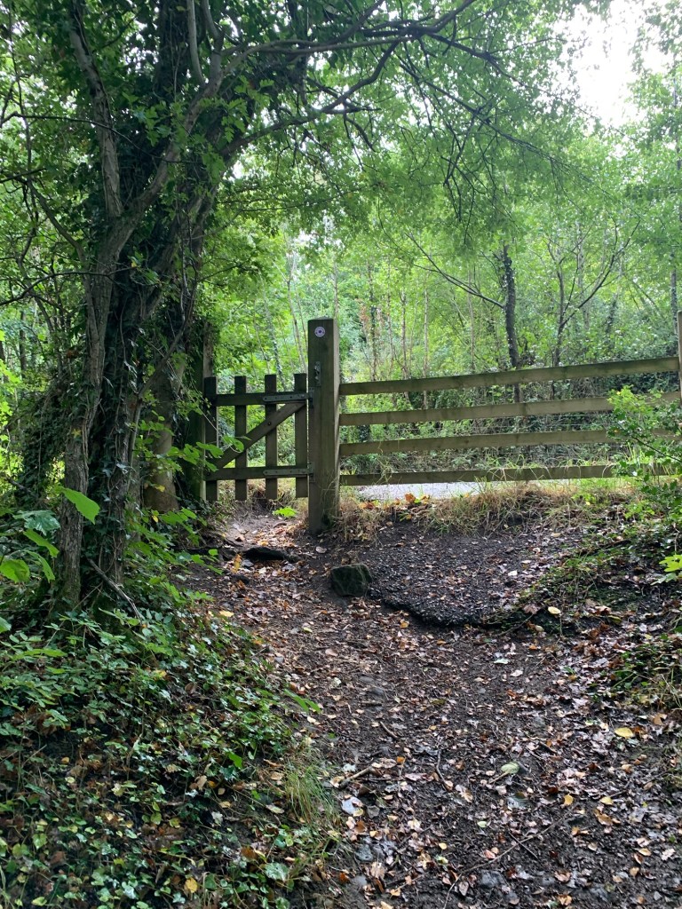
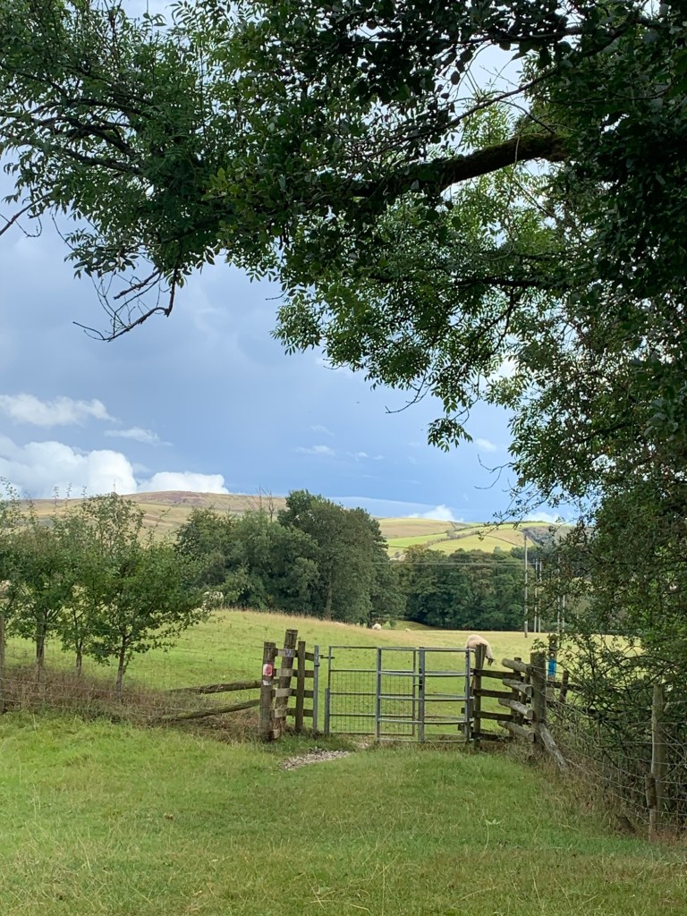
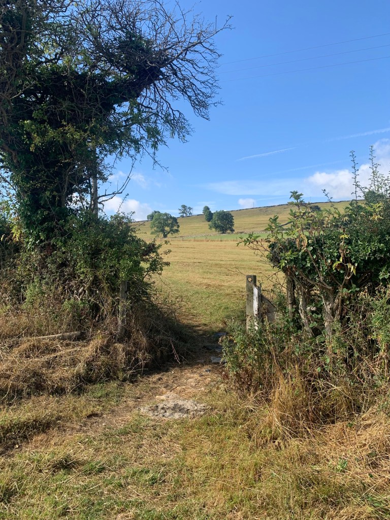
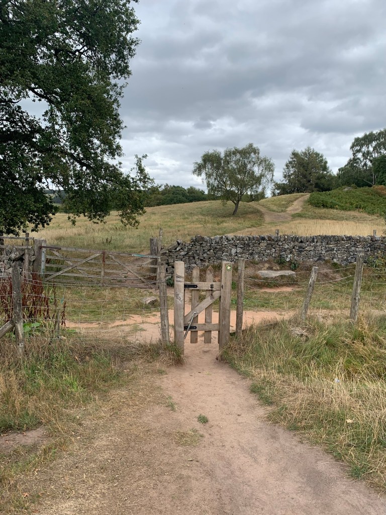
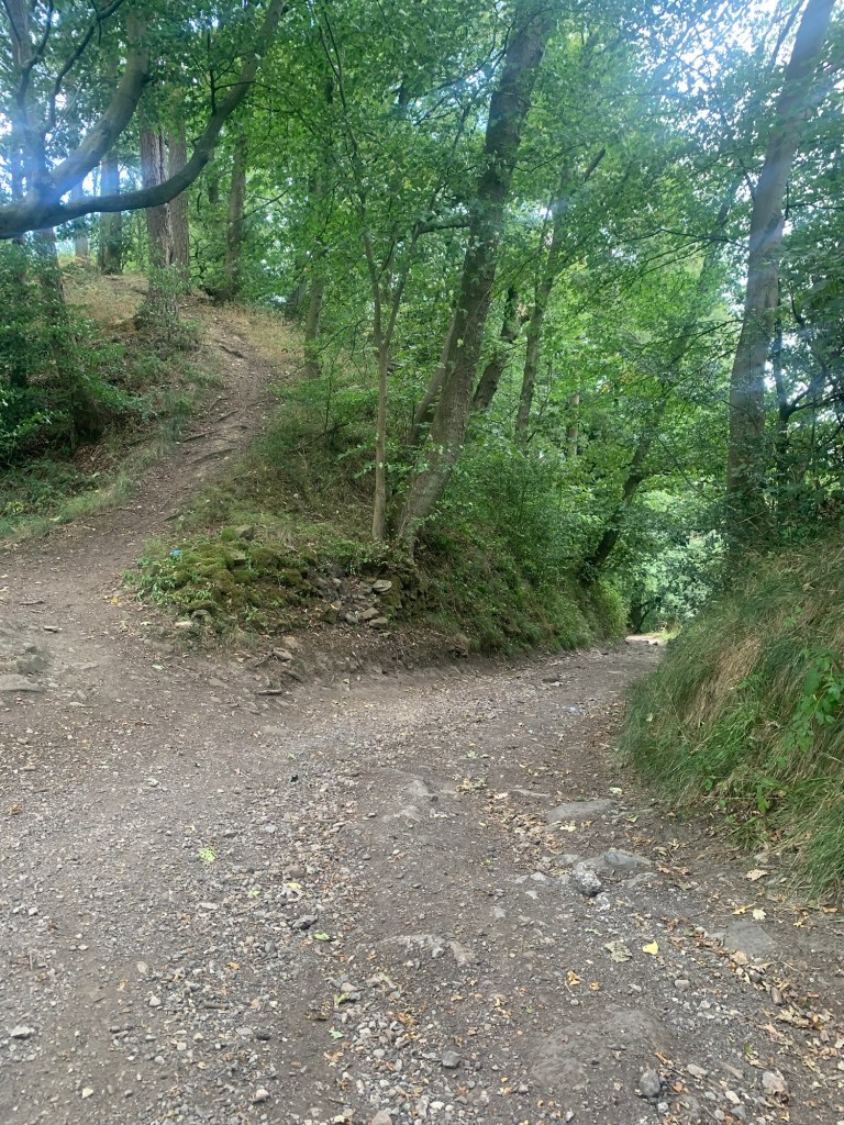
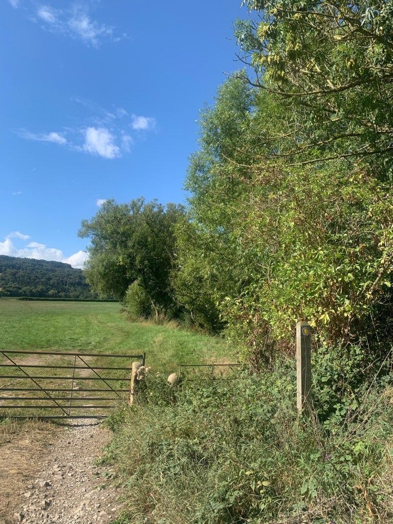
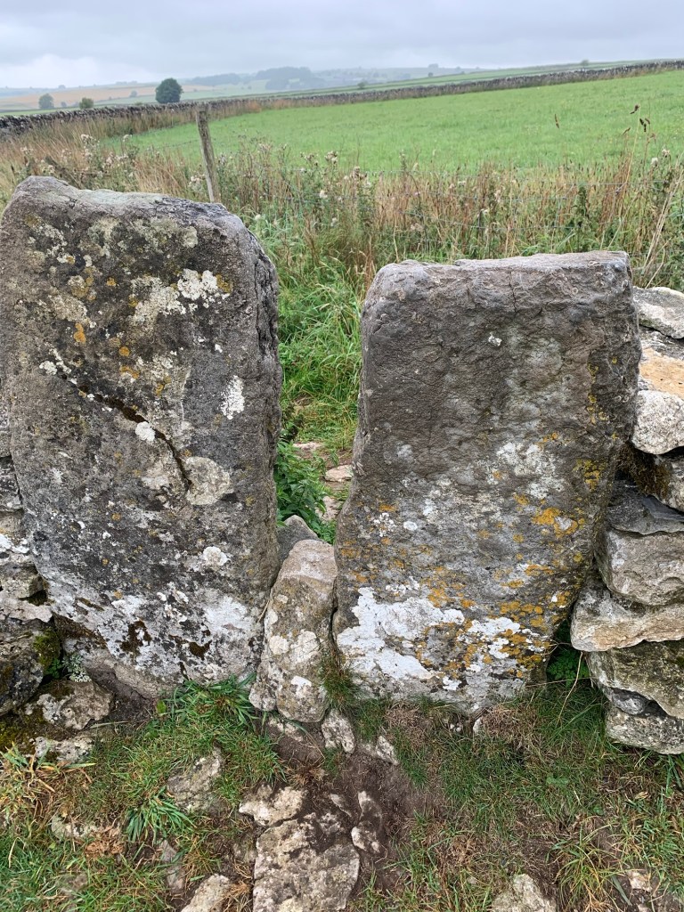
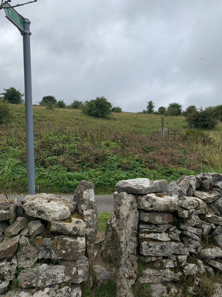
We notice another couple of walkers ahead who continue following the flagged path off to the right, but we take the left fork and continue straight ahead to a gate.

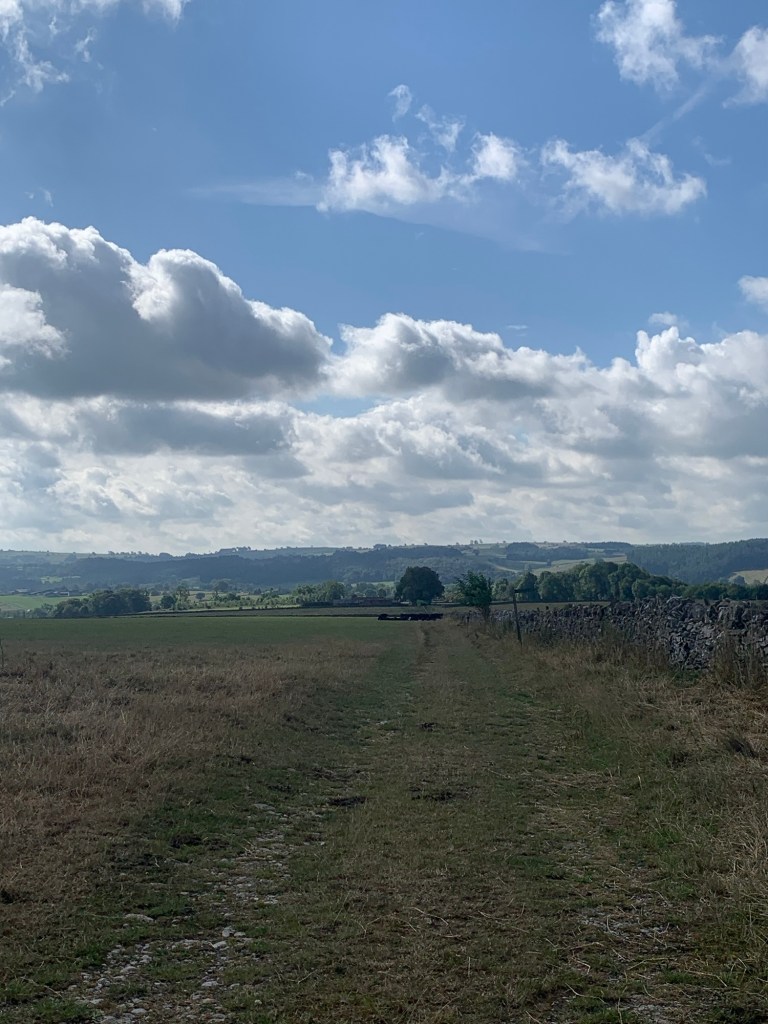
It’s here that the Pennine Way breaks off to the right and anyone going straight ahead through the gate would be following the aforementioned old pack horse trail on to Hayfield.
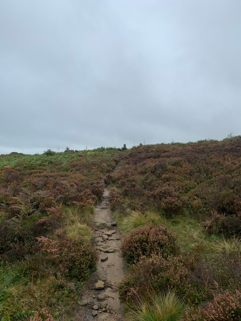
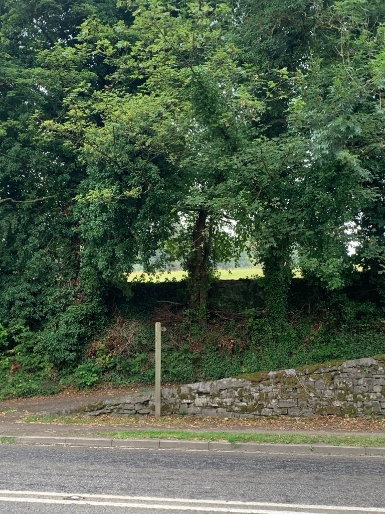
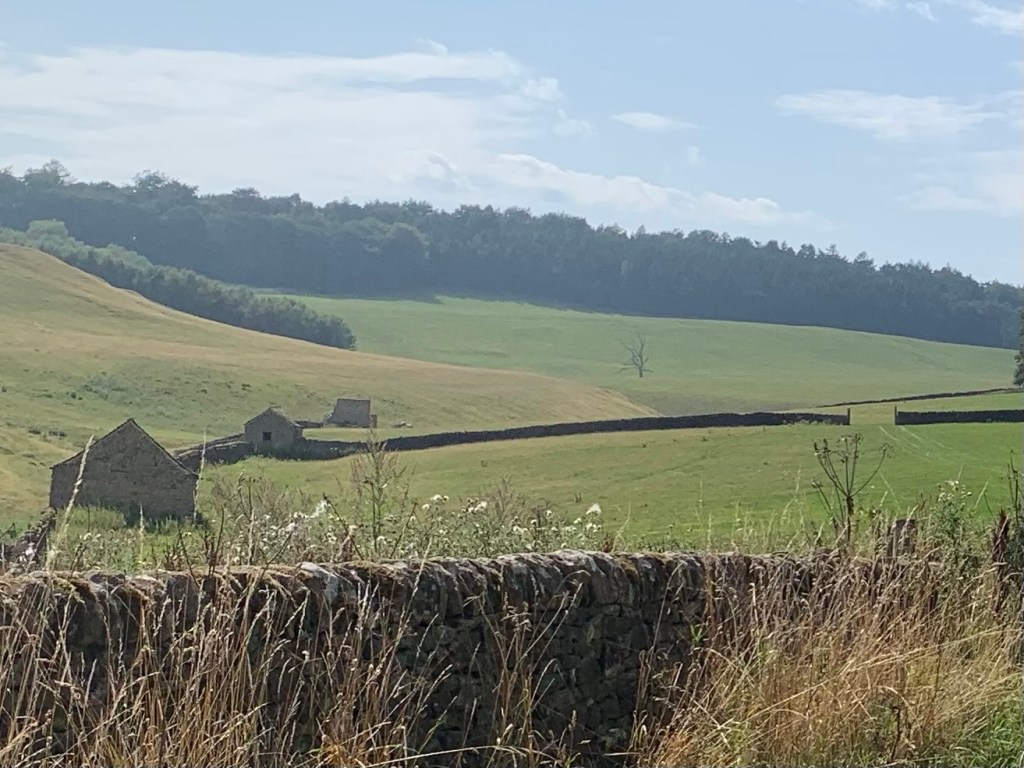
But, having gone through the gate, we take a left here, near to the wall, and begin to follow the flagged path which makes its way towards Brown Knoll.
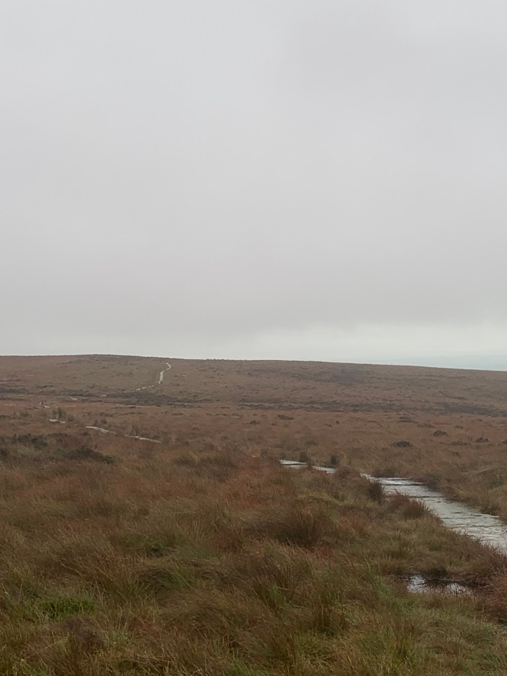
Earlier thoughts of peat bogs and erosion spring back into my mind now as, for many years, Brown Knoll was infamous for its bog trotting challenges.
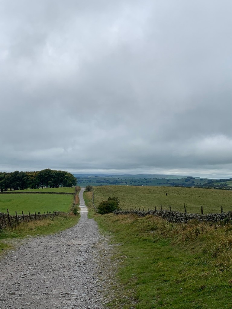
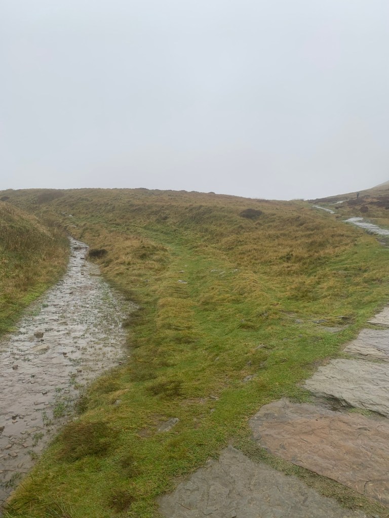
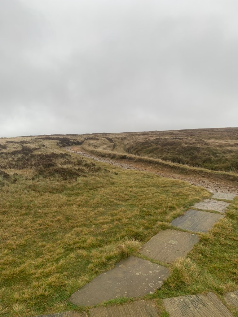
The stone flag path is amazing and so easy in comparison with the slither and squelch of yesteryear.
Despite cloud, rain and a wind which is gathering strength, we are practically skipping along!
Apparently the path was laid around nine years ago in another initiative to save moorland from erosion. The stone flags came from Lancashire cotton mills that had been recently demolished. What an interesting life-cycle for a paving slab…and what a feat of engineering!
Besides being easy underfoot the path also makes navigating a lot easier than it used to be when this was an undefined morass of peat. Looks like I won’t be needing my whistle and compass today afterall.
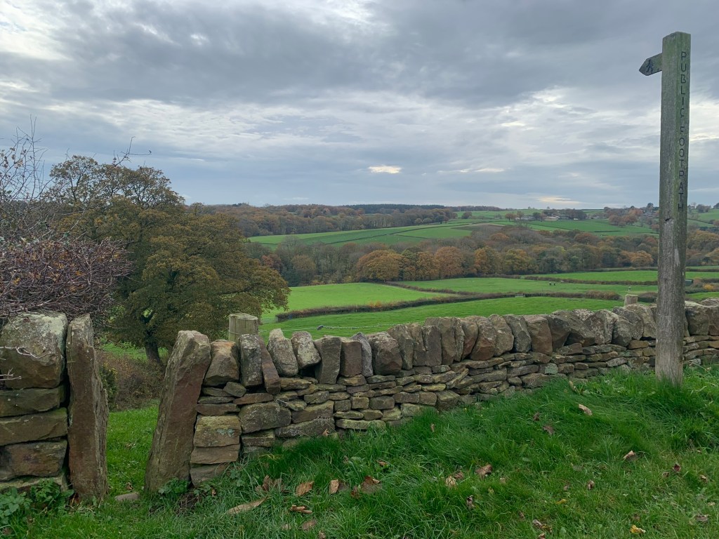
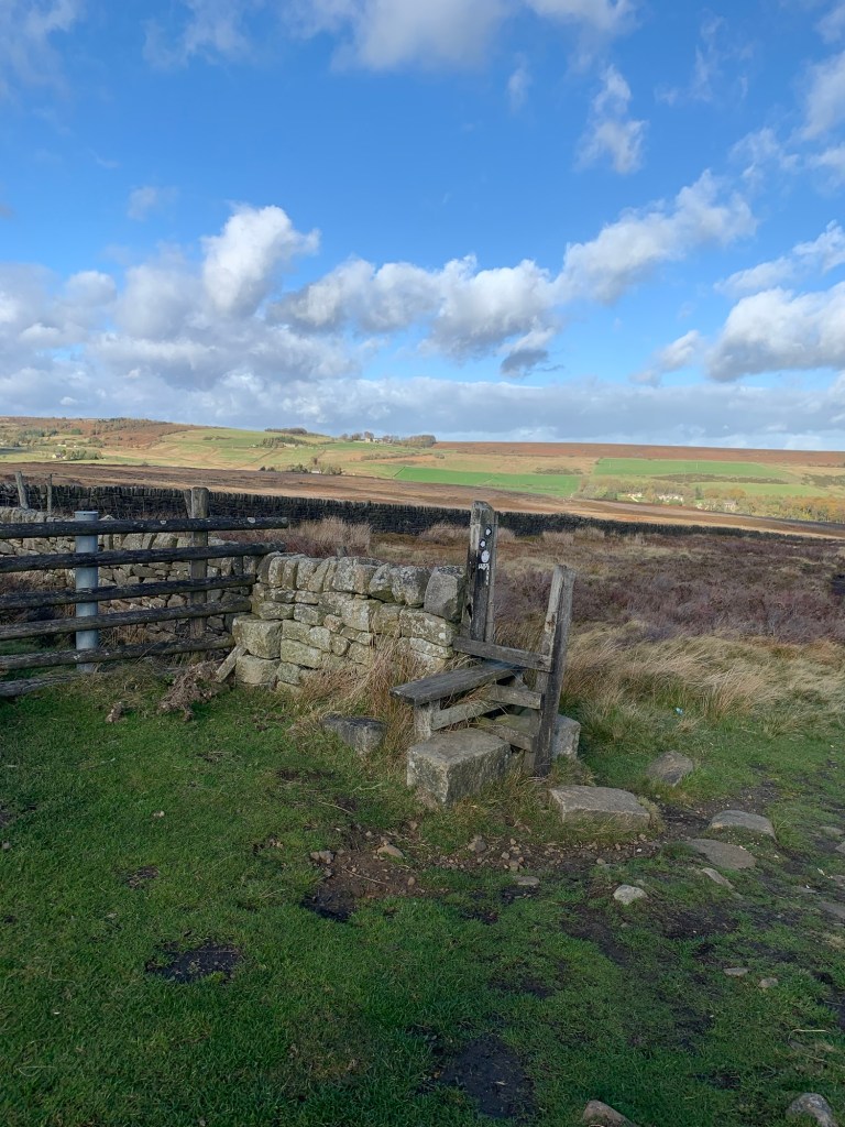
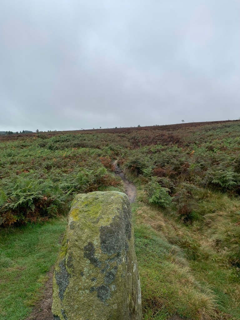
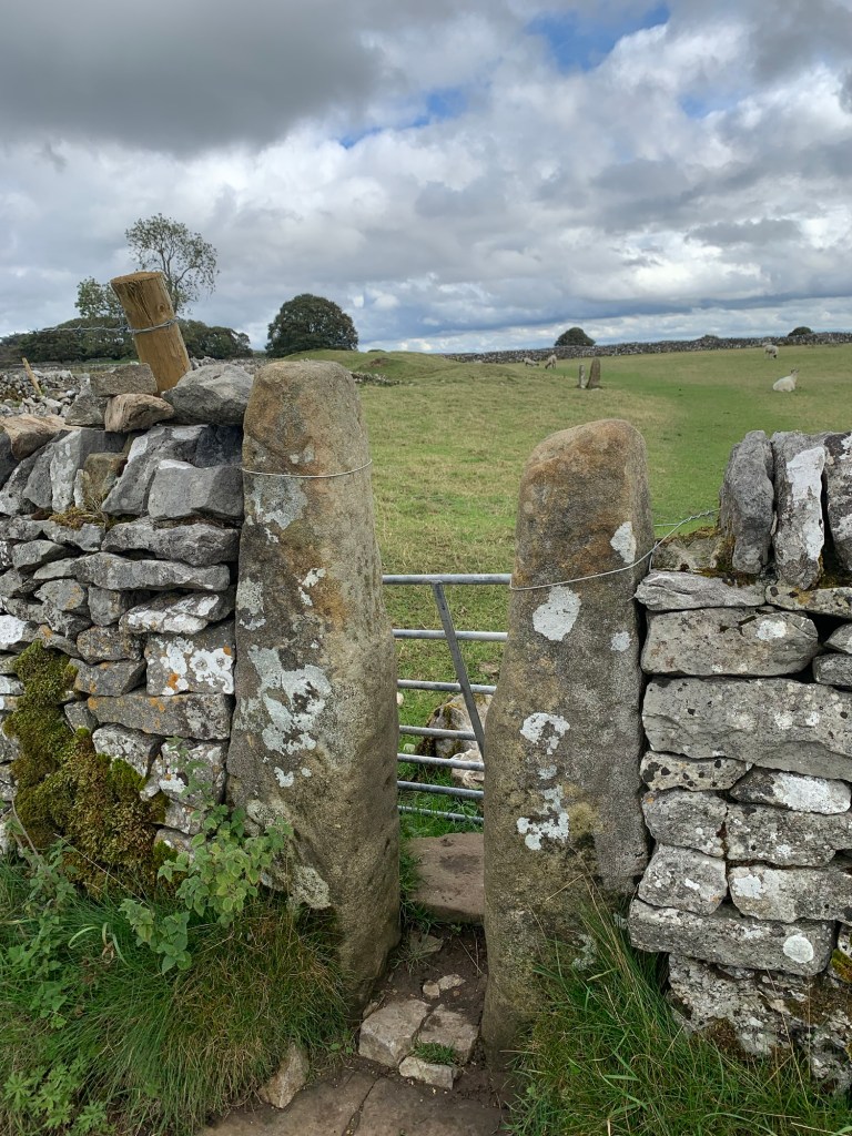
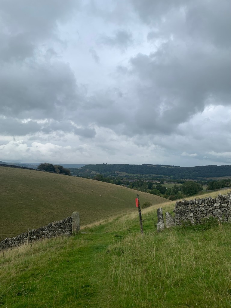
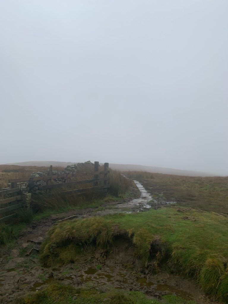
Just keep an eye out for a junction where the flagged path heads off downhill and to the right, as we need to climb over the stile here and bear more to the left.
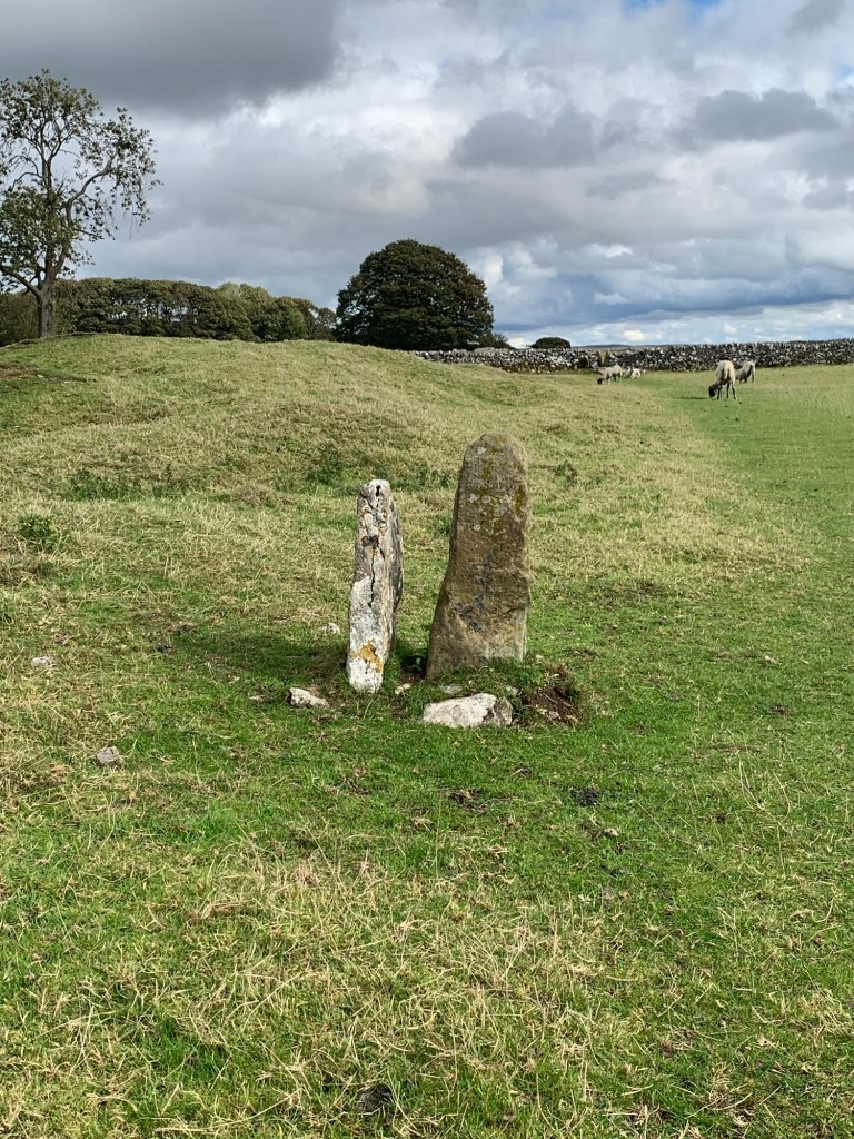
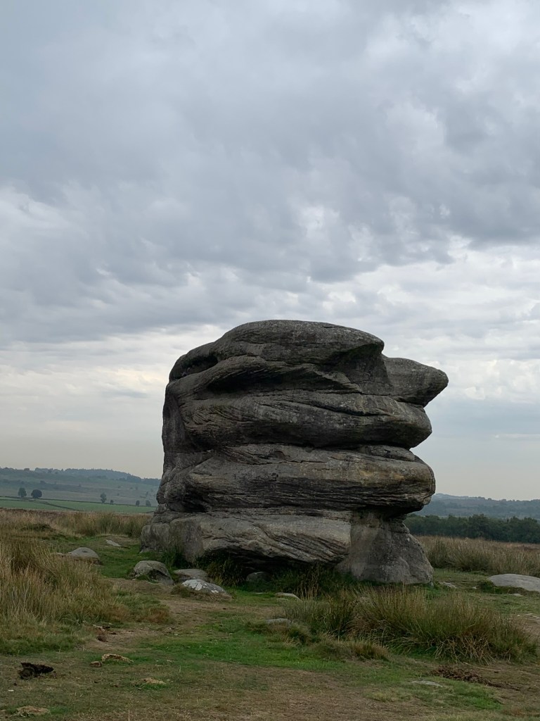
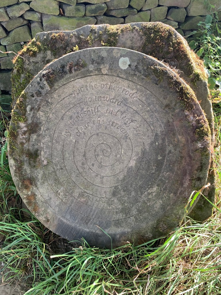
A few minutes after this the trig point which marks the summit of Brown Knoll looms eerily into view.
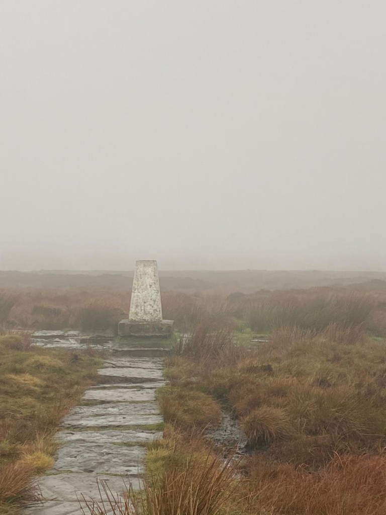
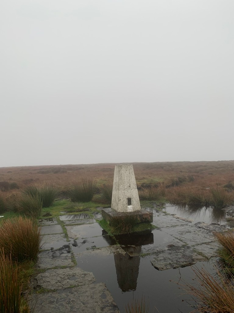
The paving slabs underneath it are an attempt to stop it from sinking into the peat. There’s been a few disappearing trig points here over the years and actually even today the surrounding moorland appears to be higher than the trig point itself and we wonder if it’ll still be here next time we come.
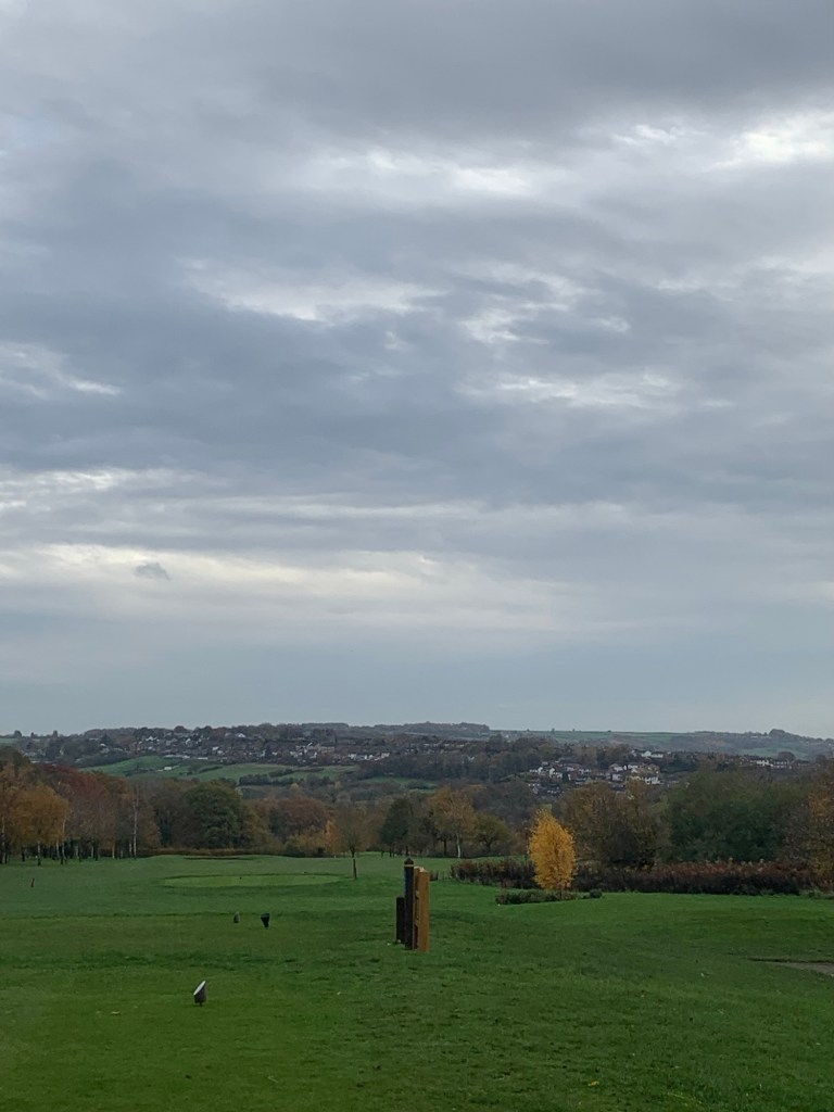
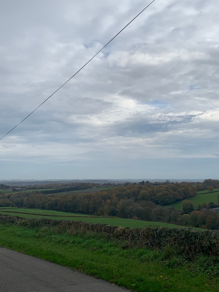
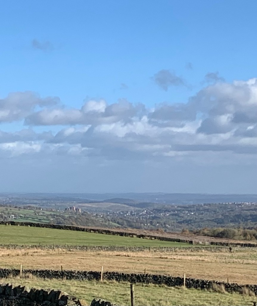
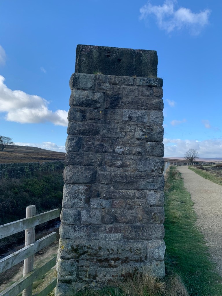
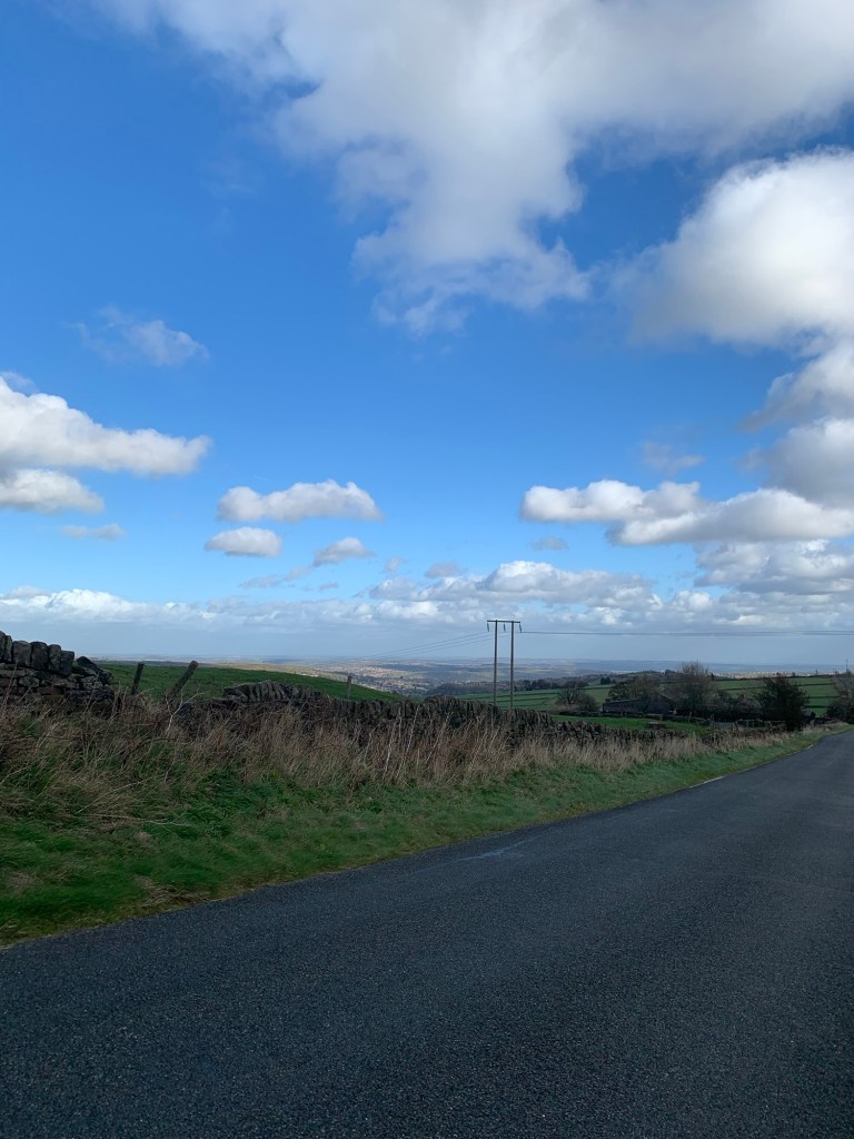
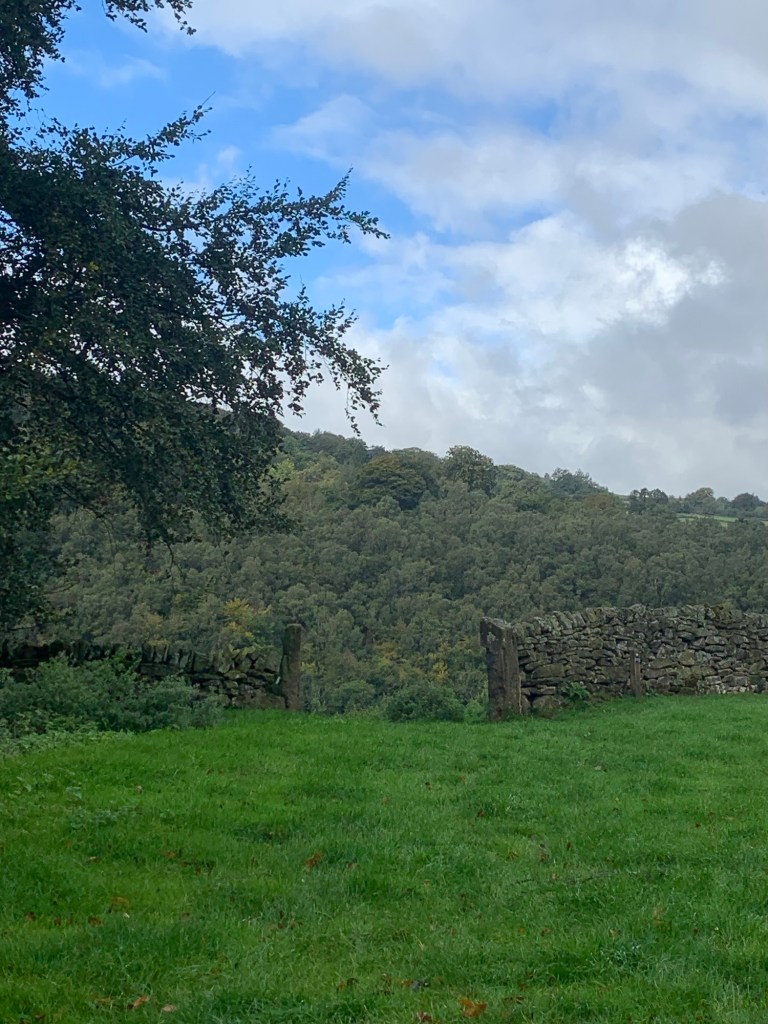
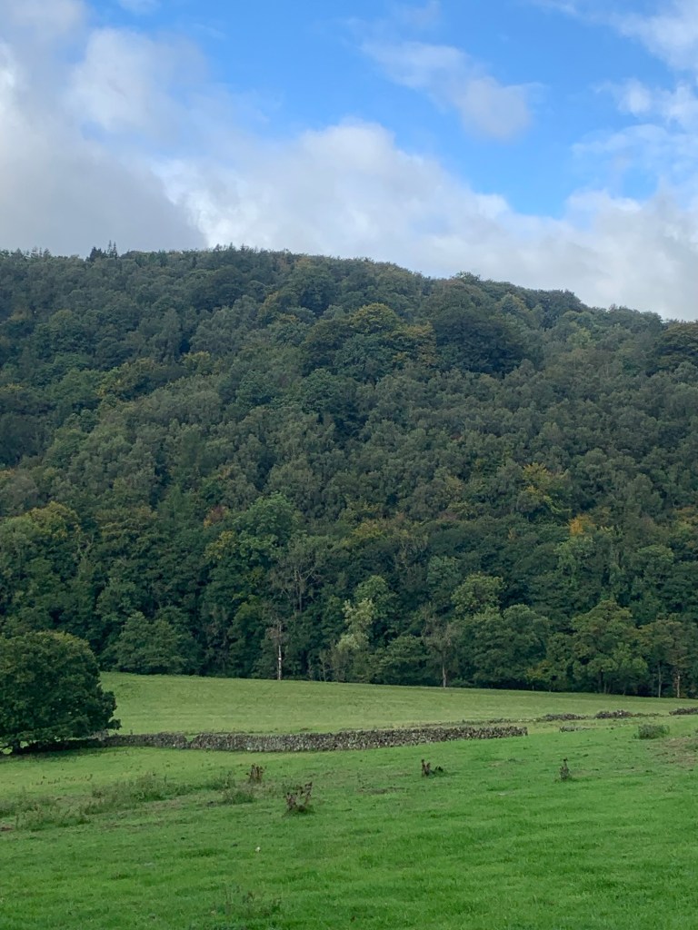
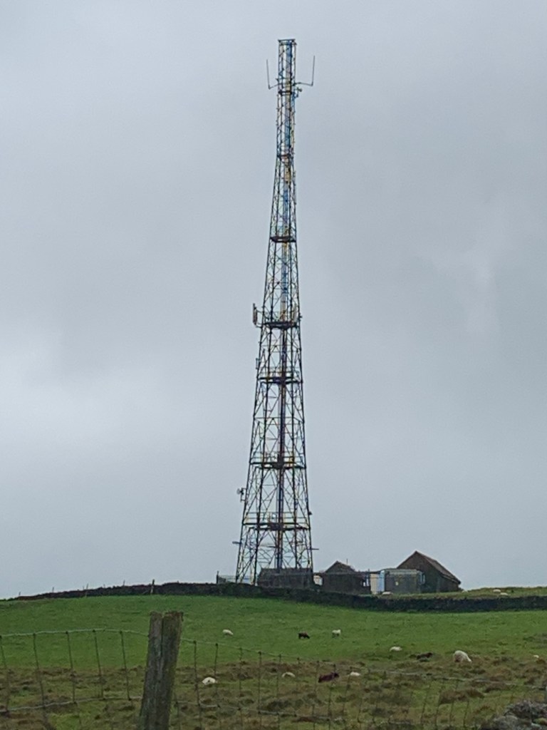
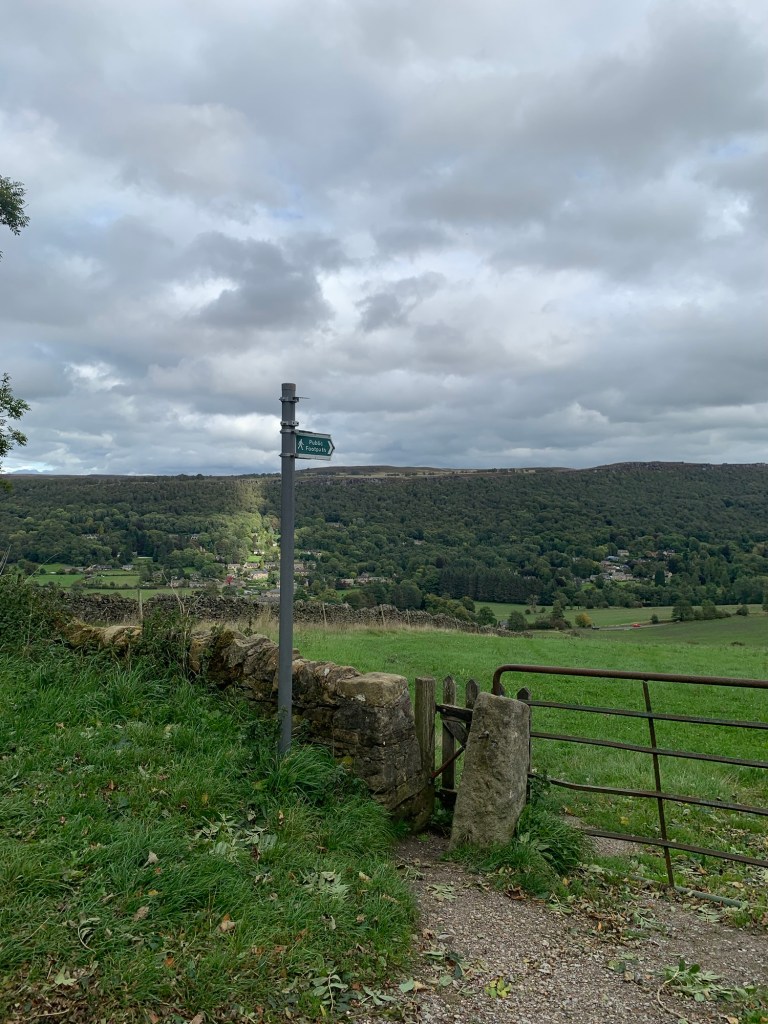
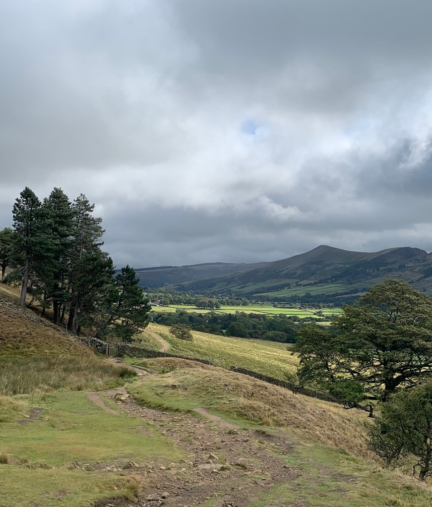
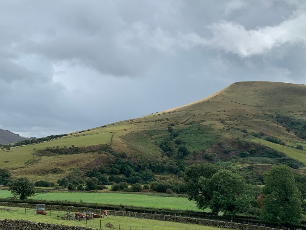
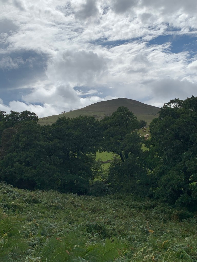
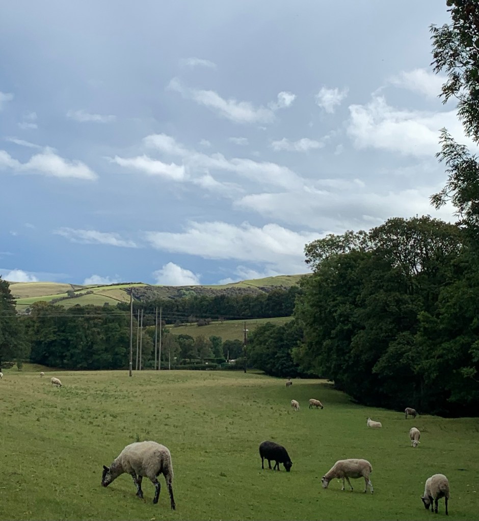
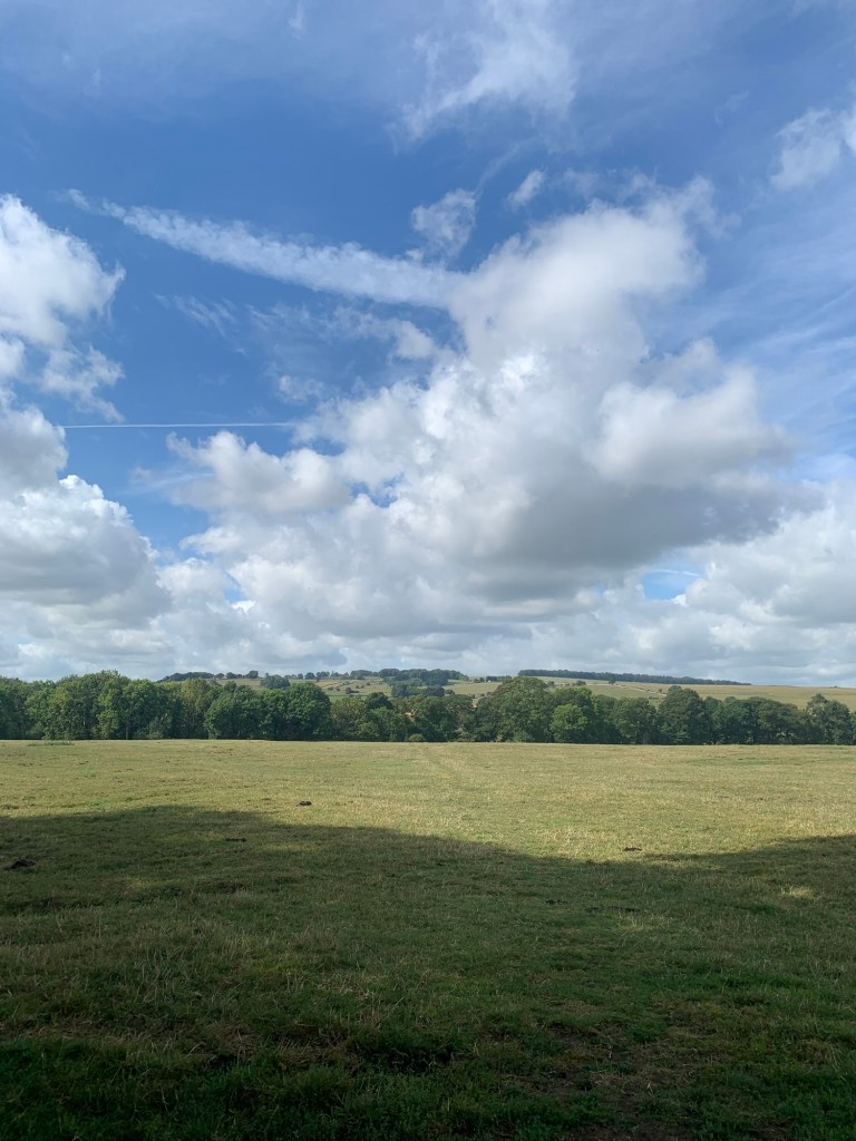
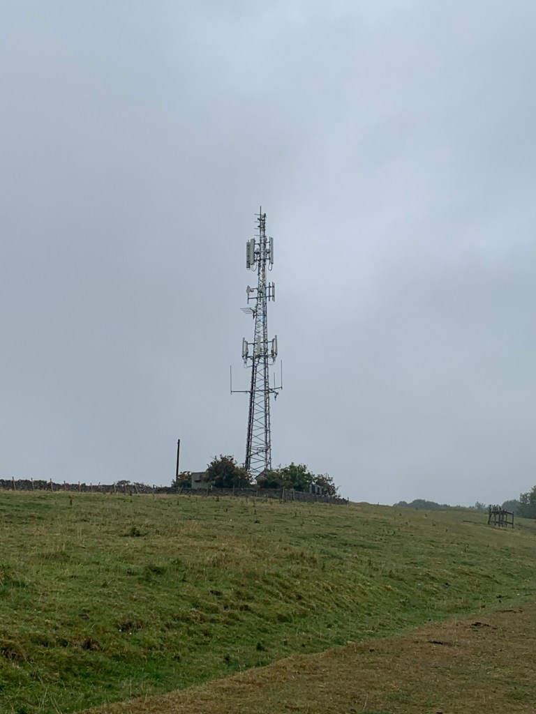
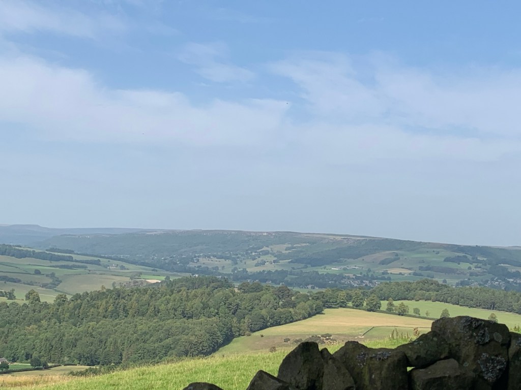
As we continue across the moor we spot the vague outline of an air shaft from the Cowburn railway tunnel over on our right and from time to time there’s a hint of how fantastic this walk would be on a fine day as we glimpse views over towards Hayfield on the one hand and the Edale valley and Mam Tor ridge on the other.
Now though, we’re back in the swirling mist. We’re just imagining this as the perfect setting for an anguished scene from Jane Eyre, when, simultaneously, the whistle of a train below and the engines of a plane above heading for Manchester airport bring us back to the 21st century with a jolt.
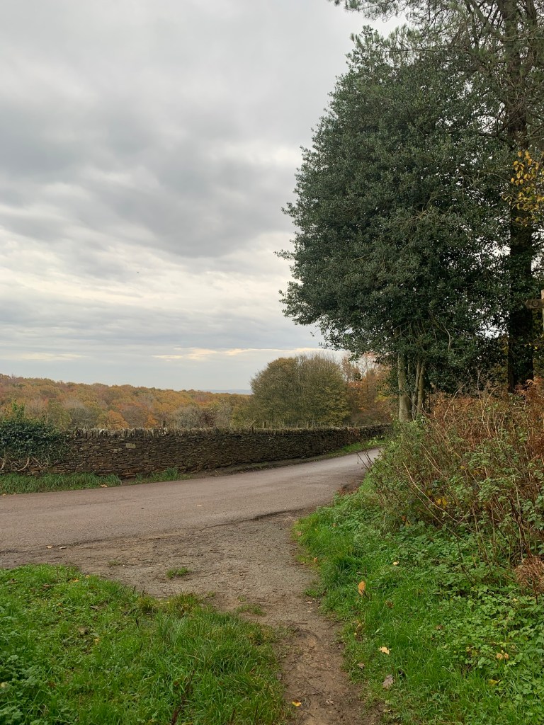
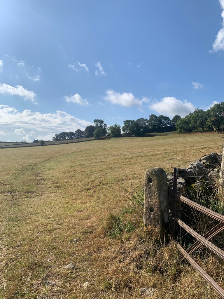
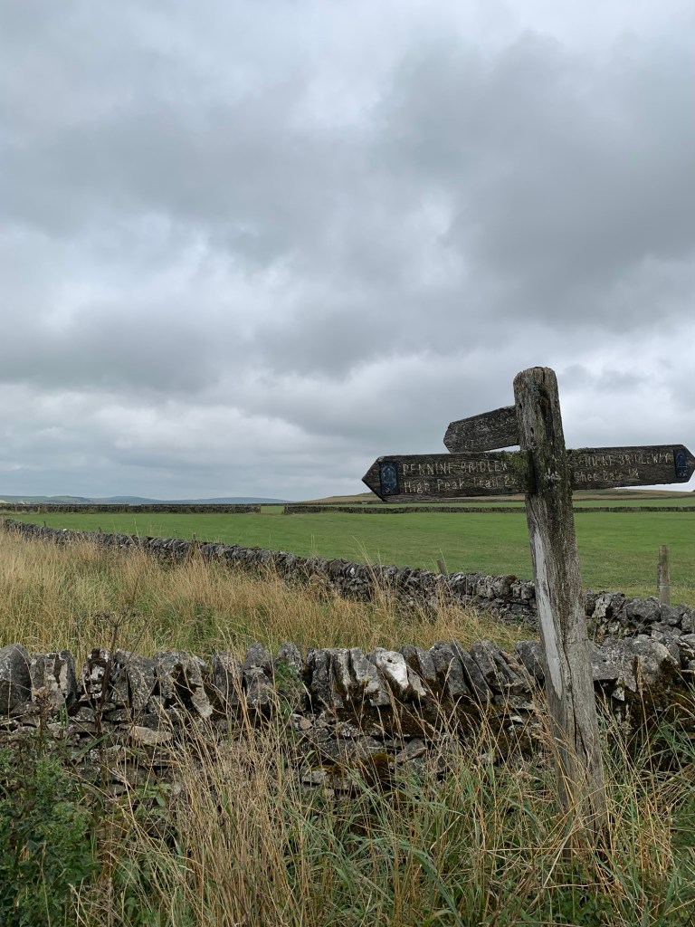
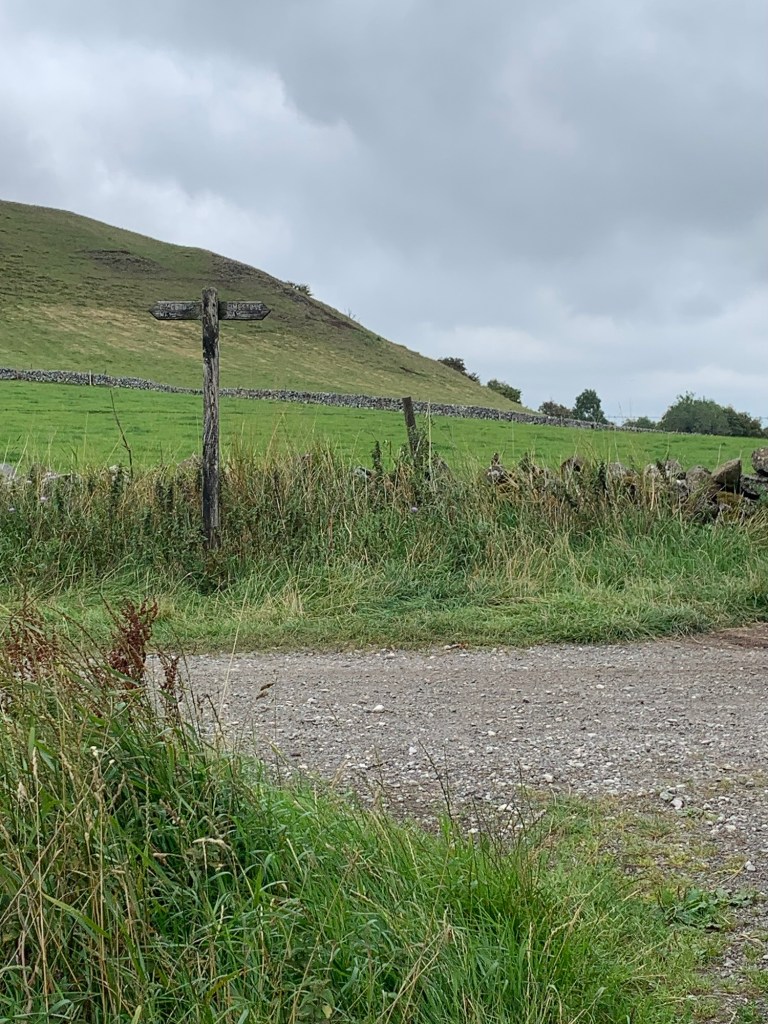
Quite soon we reach the junction with the Chapel Gate path, another old pack horse trail from Edale which lead to Chapel-en-le-Frith.
We had been thinking that at this point, we would take a brief right and then a left onto the ( ever breezy) Rushup Edge path which we were planning to follow to Mam Nick, over Mam Tor and along the ridge to Hollinscross. From there we’d have descended either to Castleton or Edale depending on bus or train times.
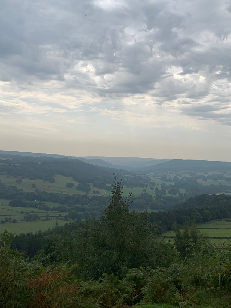
However, by now, we have had enough of the wind, and the thought of descending into more sheltered terrain and towards a pot of tea, is impossible to resist.
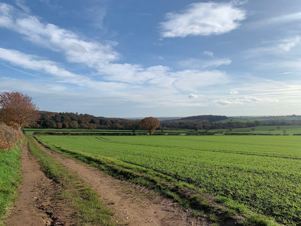
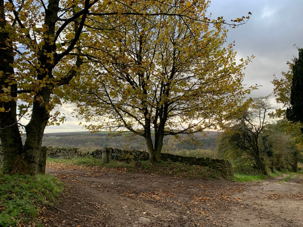
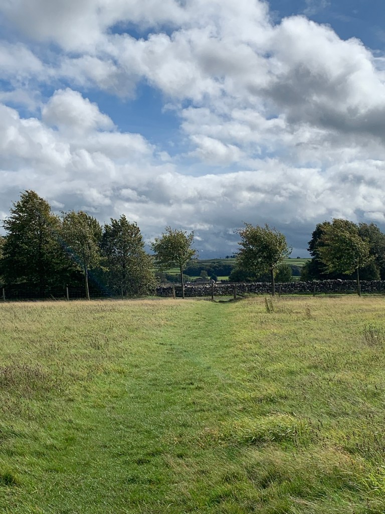
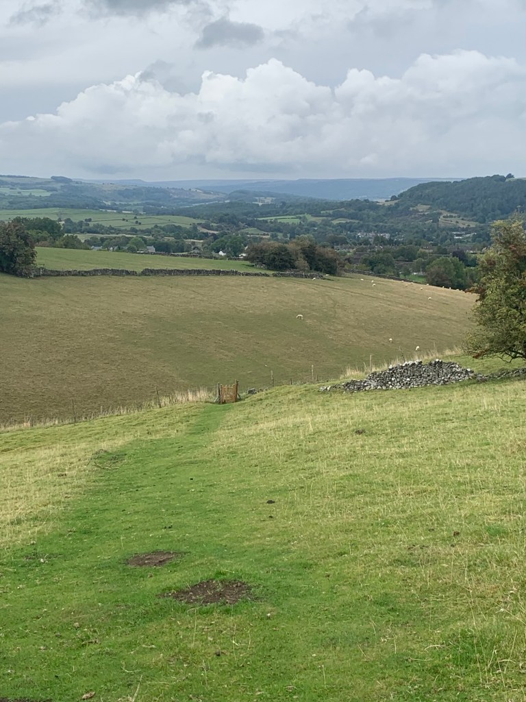
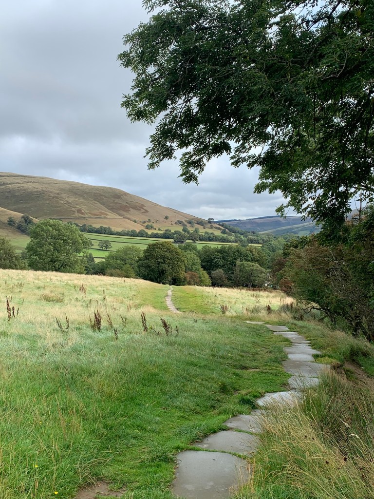
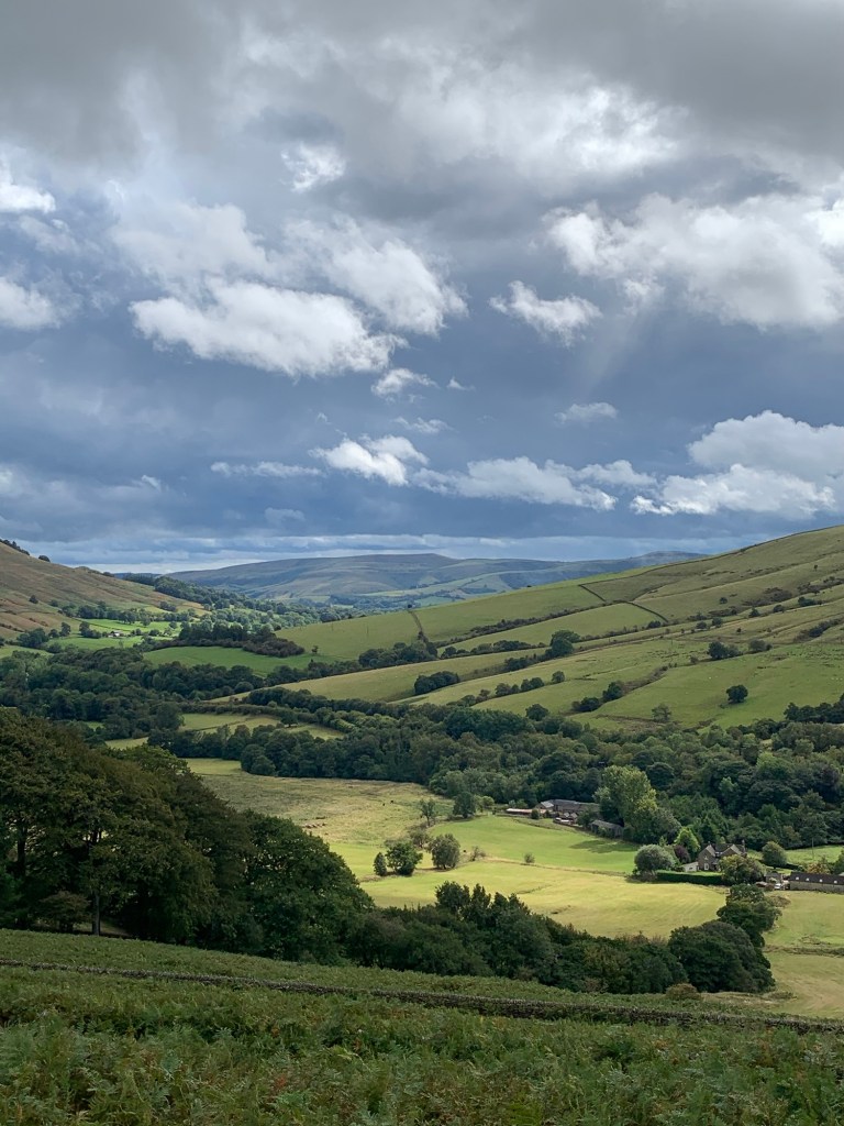
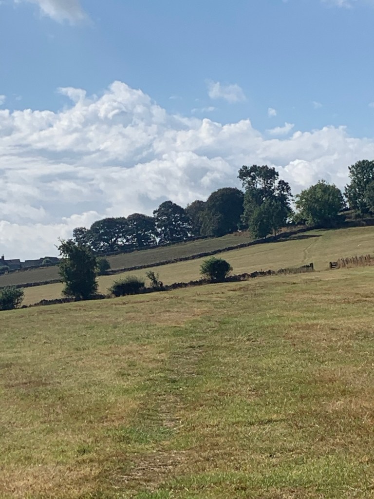
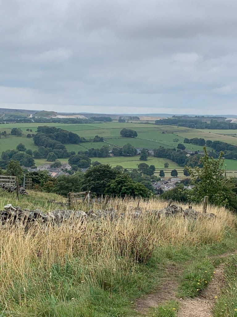
So down we go , out of the wind and out of the cloud, with views of the Edale valley opening out before us.
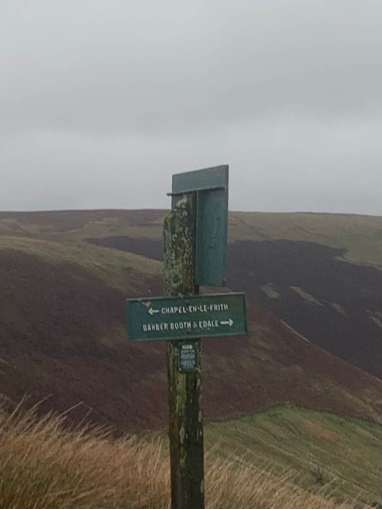
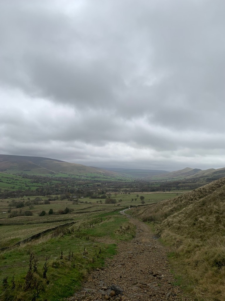
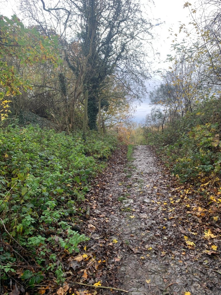
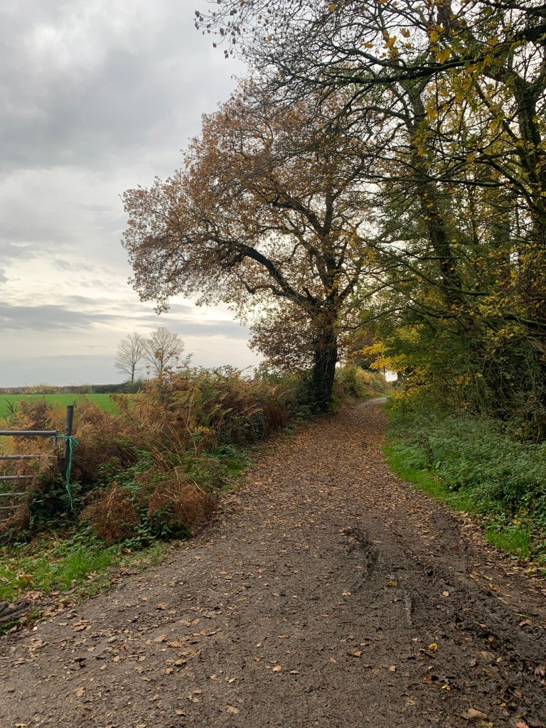
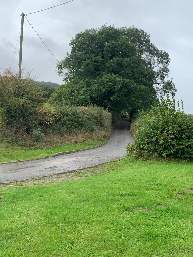
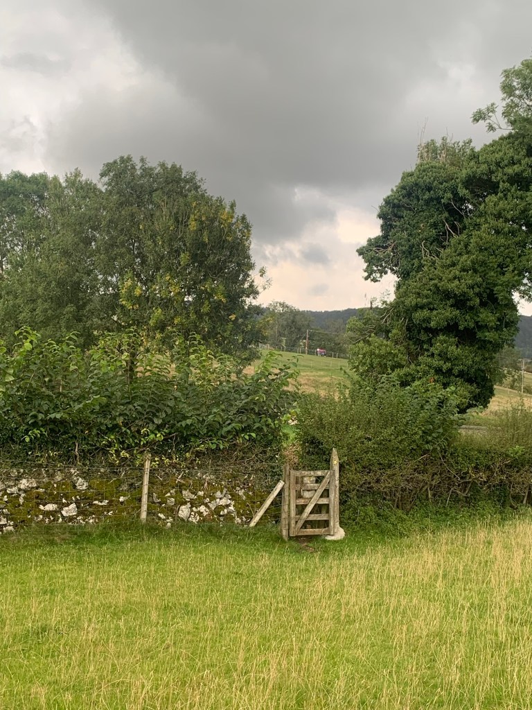
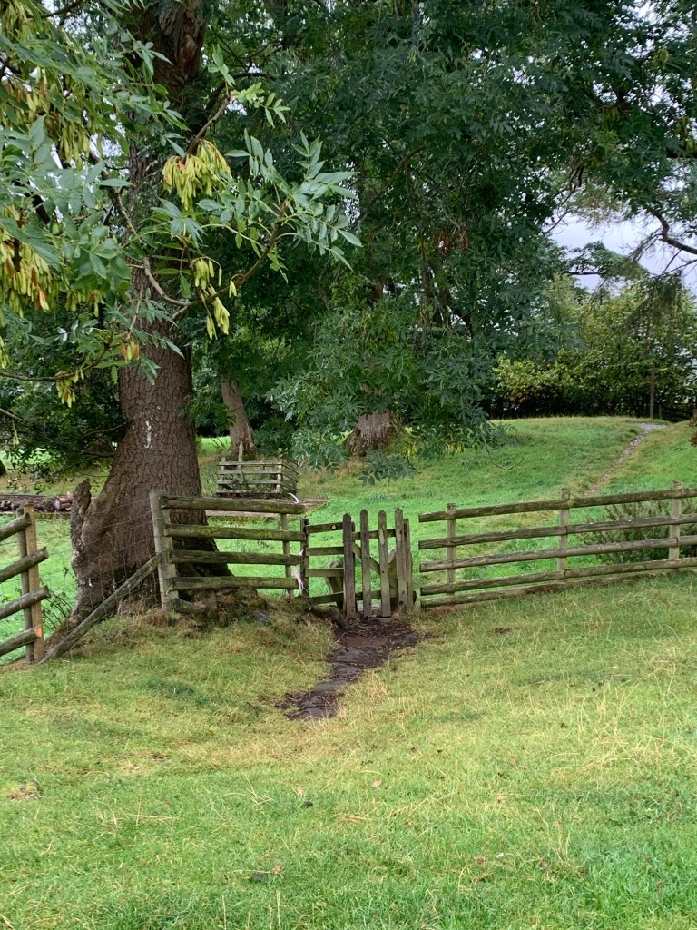
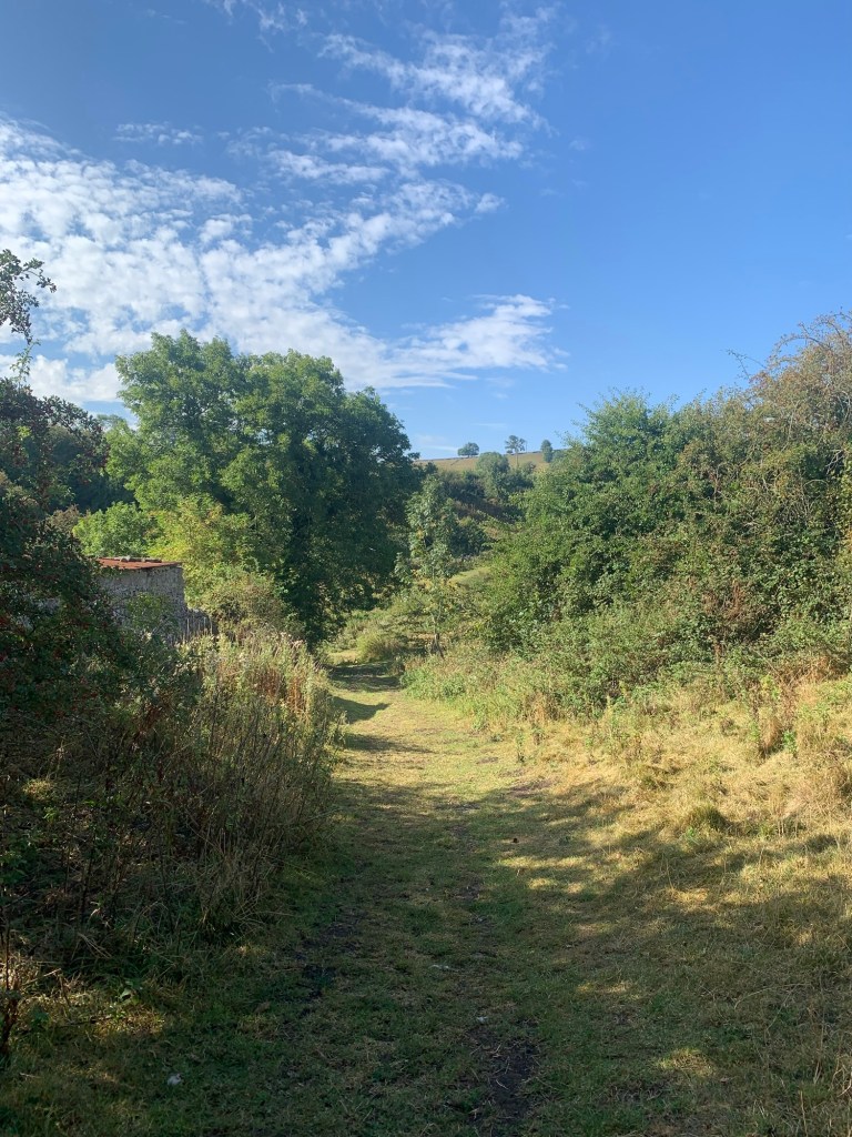
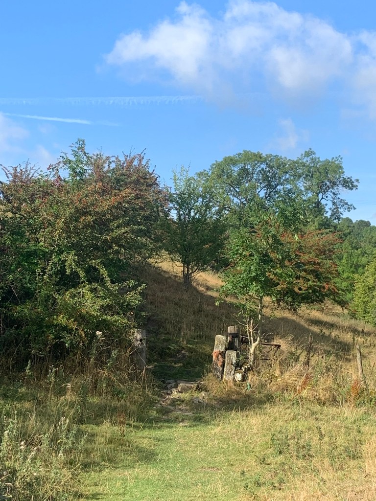
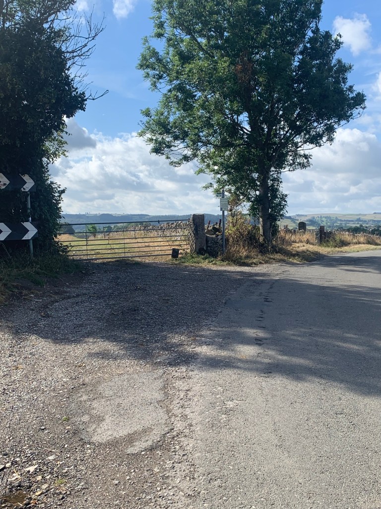
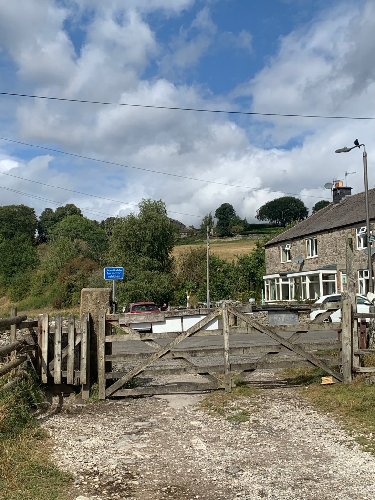
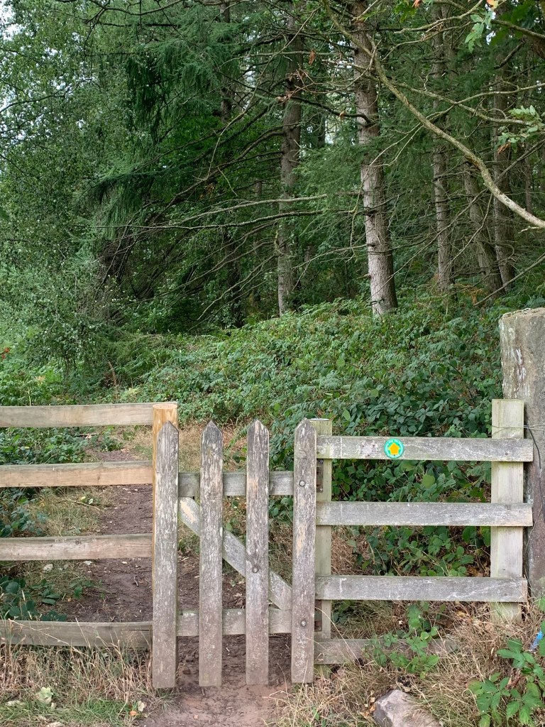
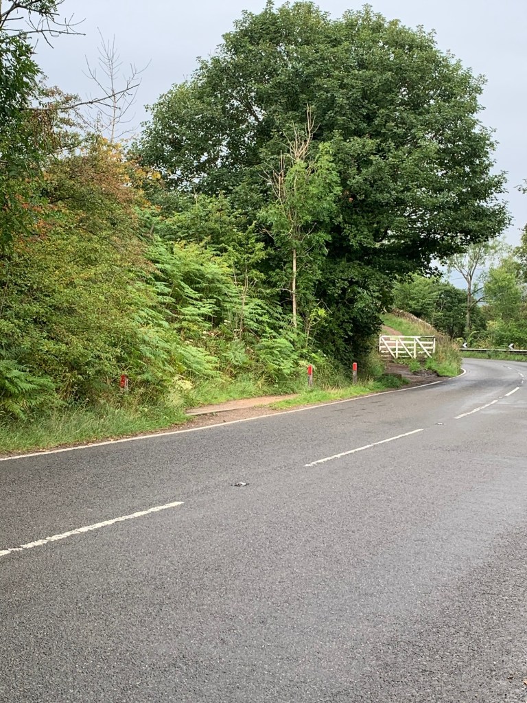
Chapel Gate is another very obvious path ( as all today’s paths have been), just look out for a gateway to a path on your left after the steepest part of the descent as this will take you onto a field path towards Barber Booth and then back to the station.
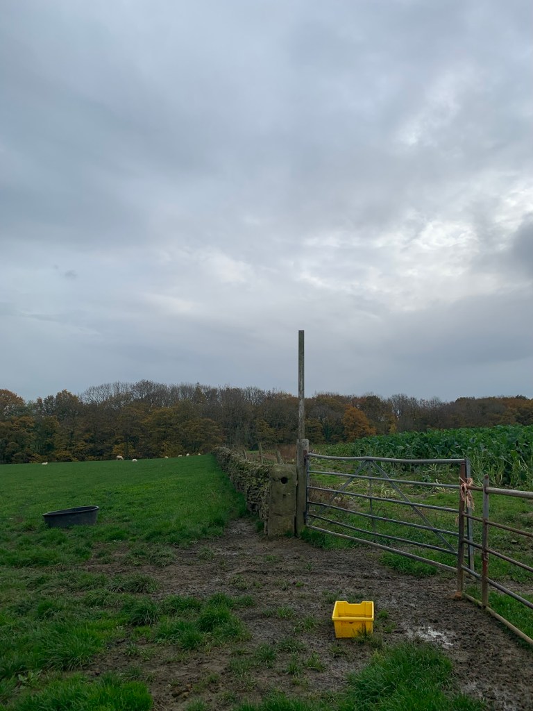
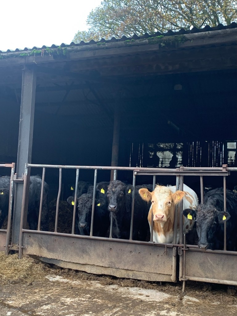
Of course there had to be a bull in the field! ….but to be honest, it looked so wet and bedraggled, and it couldn’t even be bothered to stand up, let alone give chase to two wet and bedraggled hikers, even one with a red rucksack. What an anticlimax.
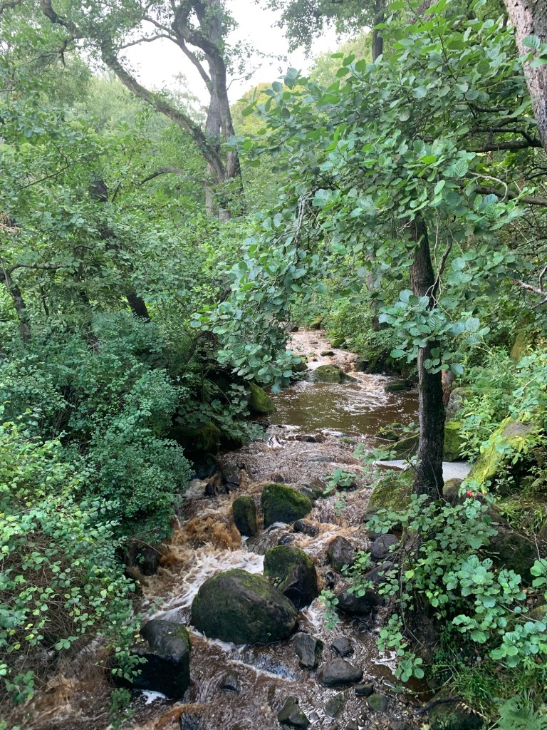
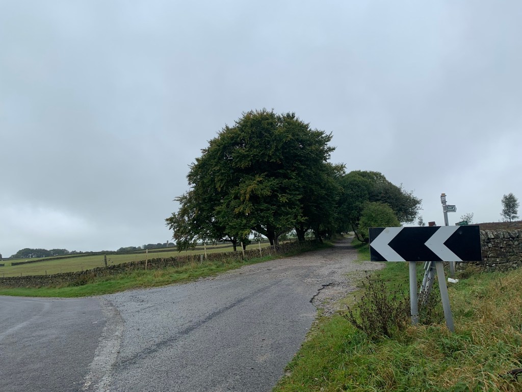
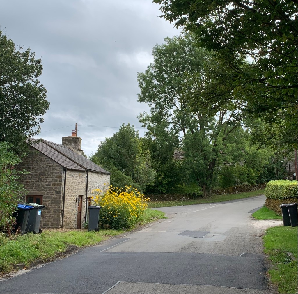
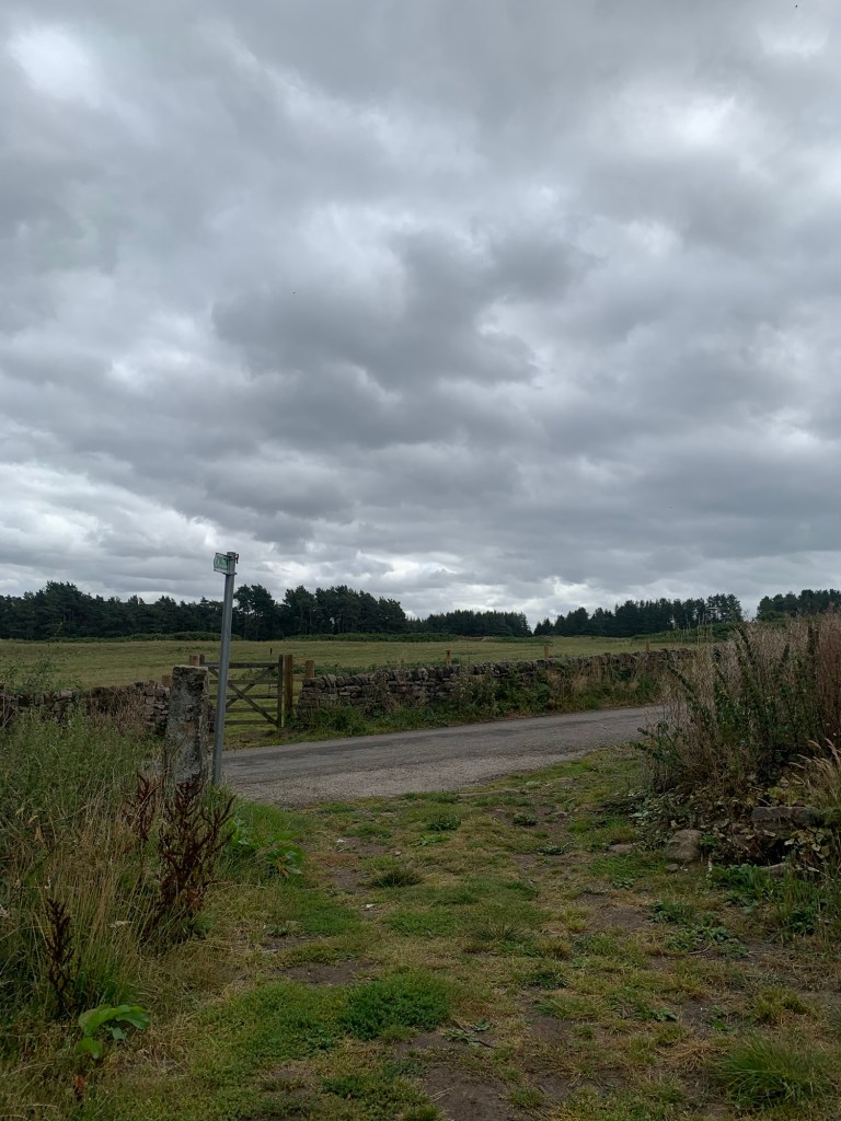
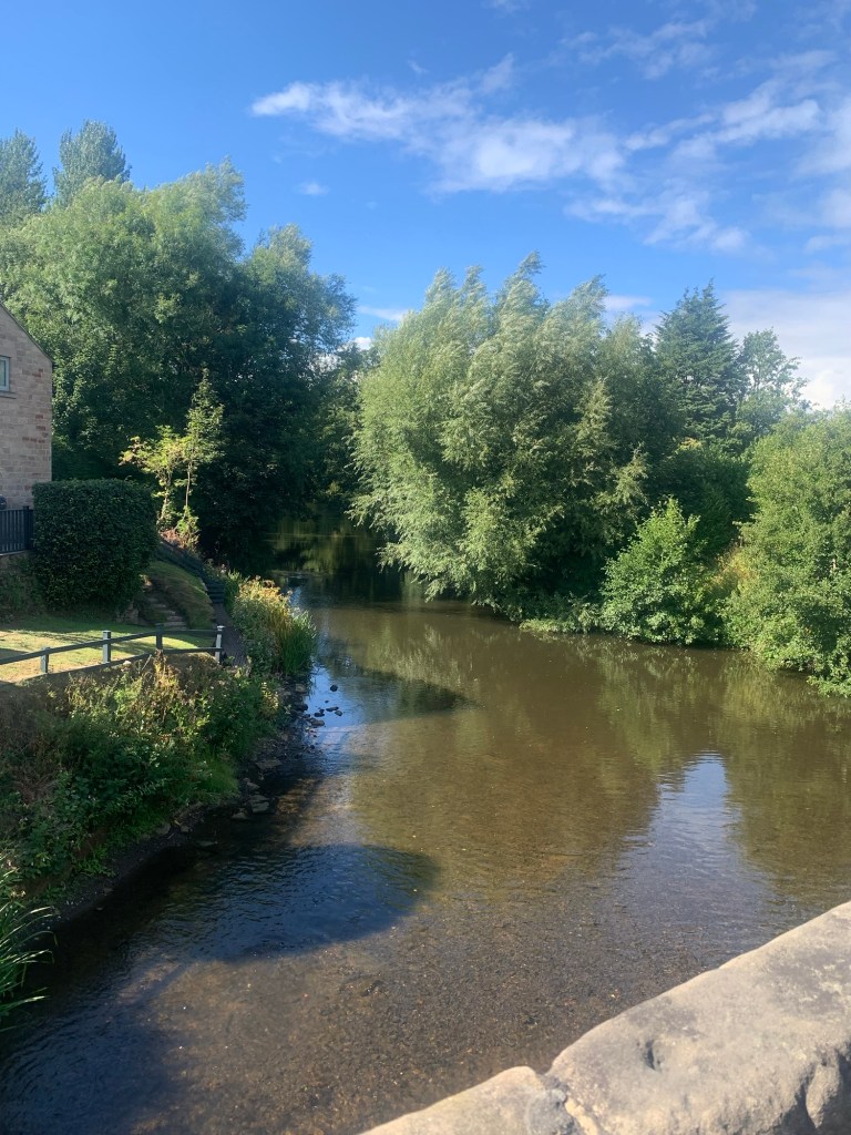
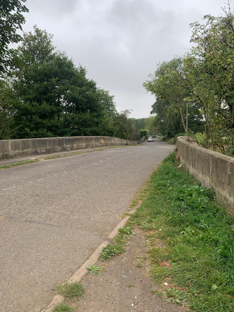
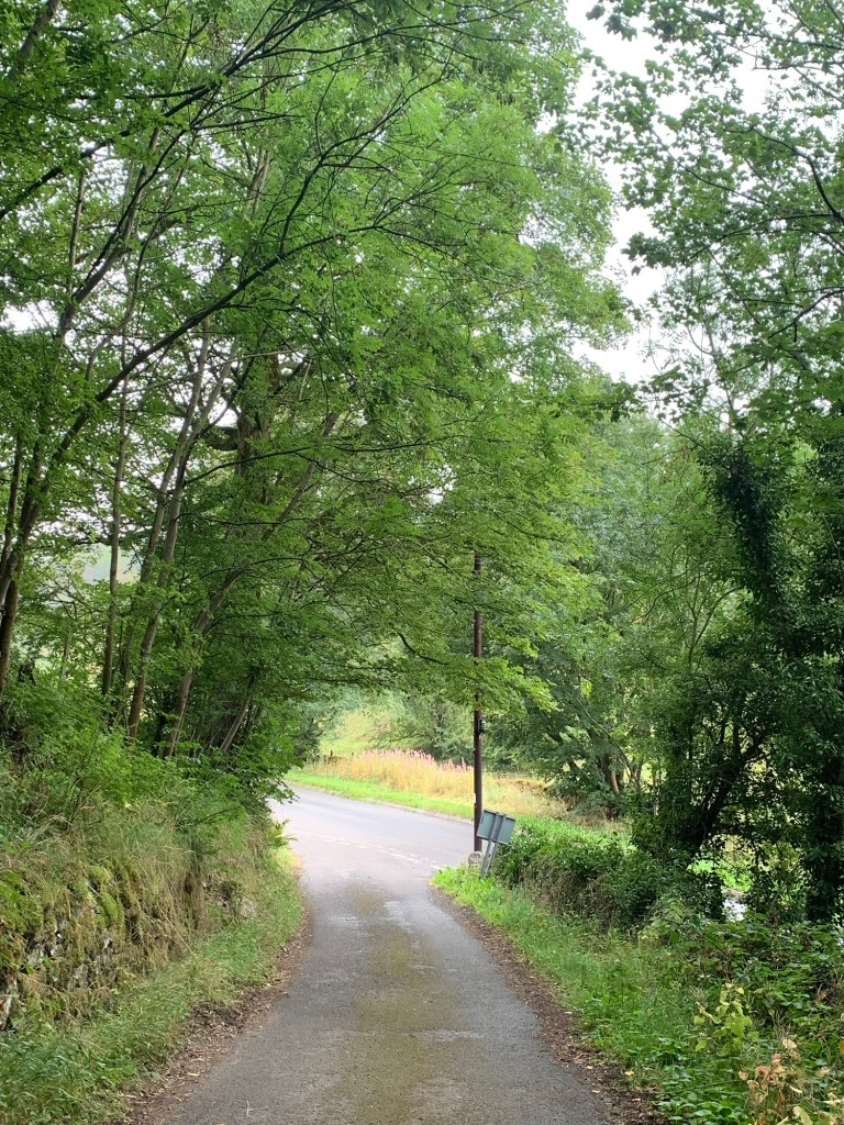
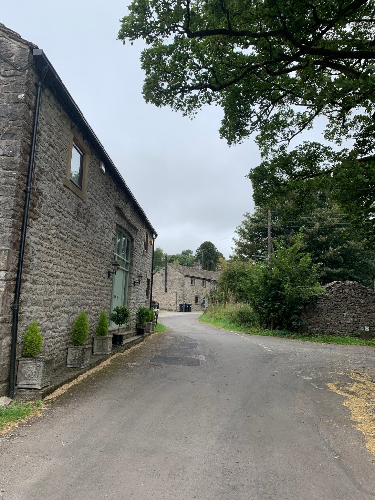
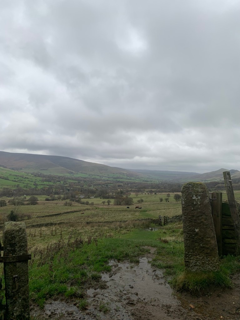
Turning right along the lane at the end of the path we walk alongside the somewhat swollen River Noe for a few minutes before crossing left over the bridge and into Barber Booth.
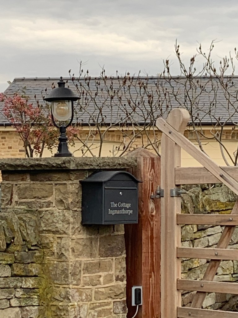
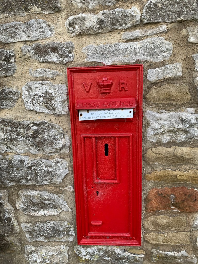
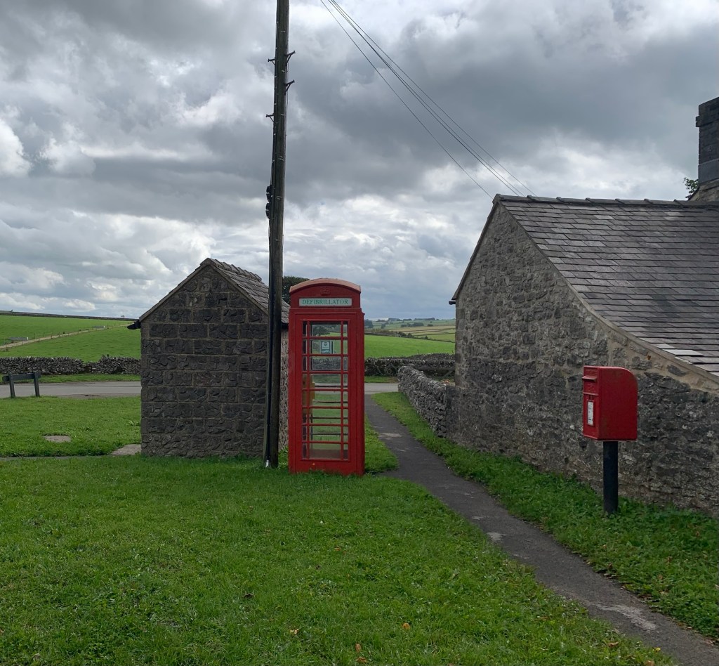
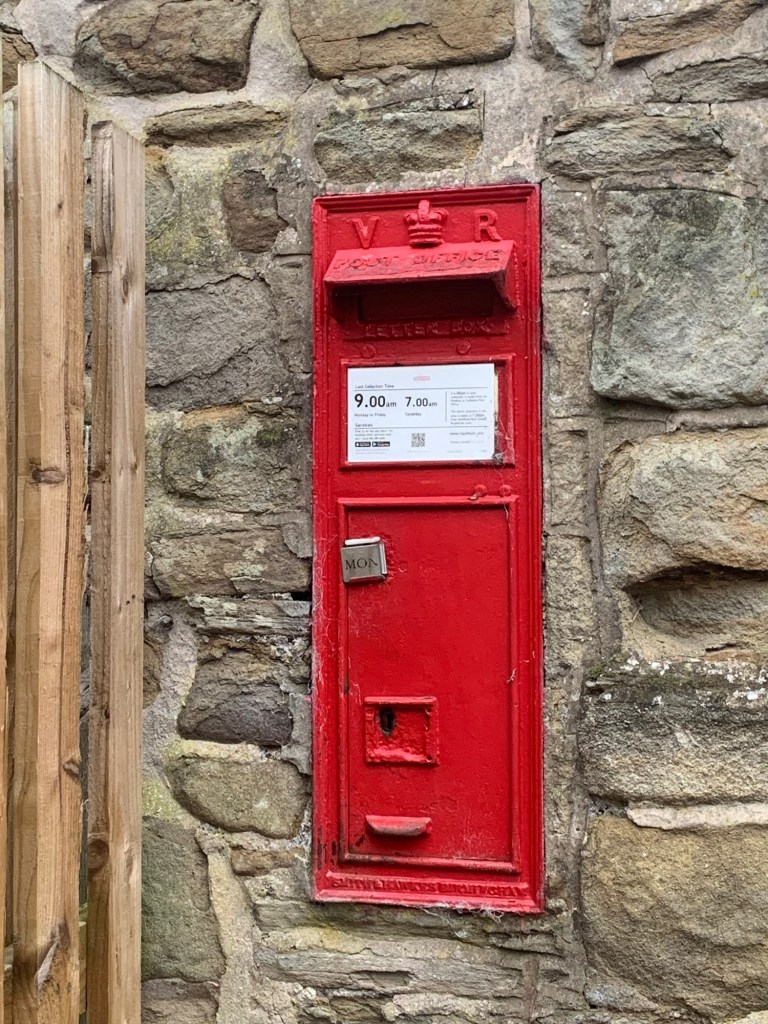
Taking the back road through the few houses that make up this hamlet we spot a Victorian post box which absolutely provides the excitement that the bull encounter lacked…. Ever since my kids were little and spent their pocket money on a most obscure
“I-Spy Book of Letterboxes” I’ve been an absolute sucker for V R post boxes.
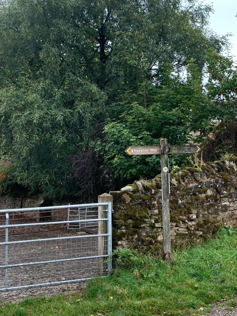
Continuing along the path over the railway line, signed clearly throughout for Edale station,
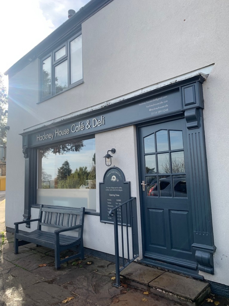
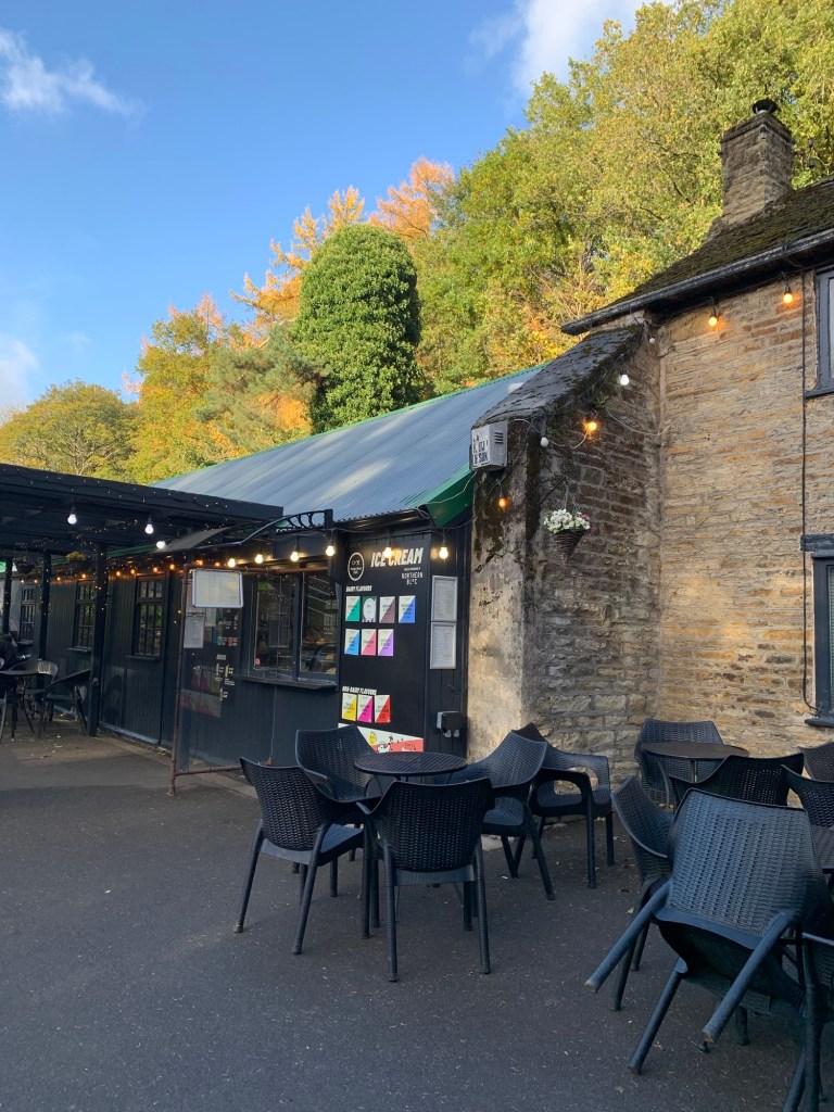
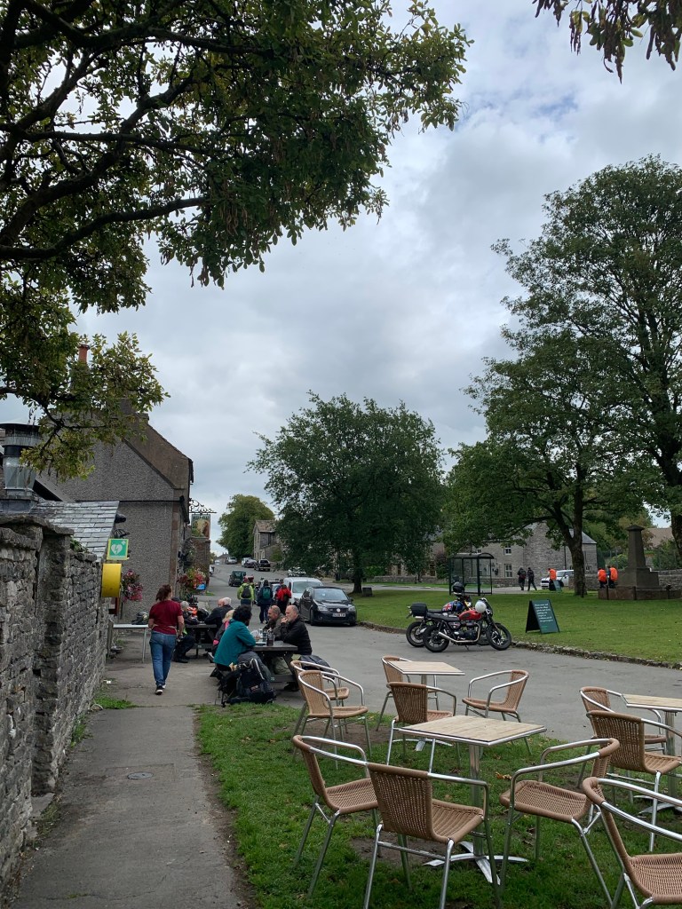
we muse over whether there are any C R post boxes, and before we know it, we’re sitting in the Penny Pot Cafe behind a splendid pot of tea and generous slice of cake.
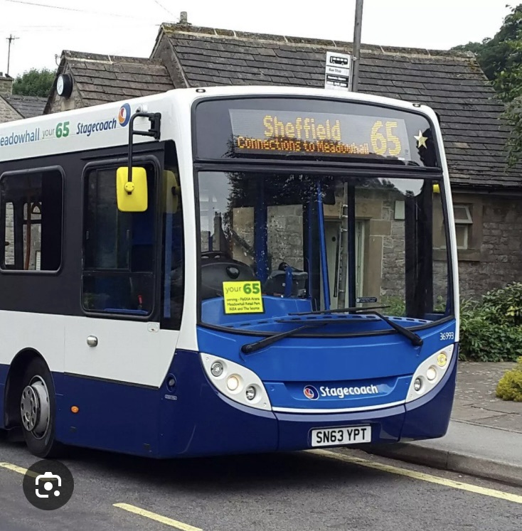
Having repaired to the ladies room to struggle out of my waterproof over-trousers I re-emerge looking slightly more presentable and leaving the cafe we head once more through the ( still dry) tunnel under the track and hop aboard the Sheffield train.
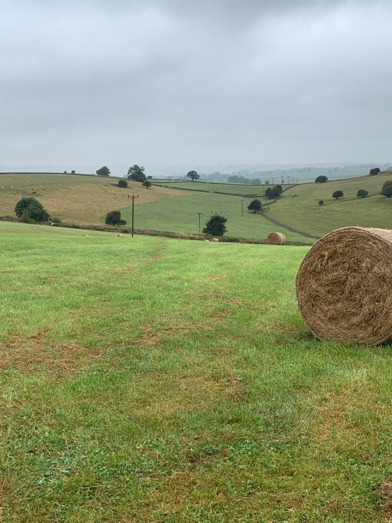
A splendid Peakland day despite less than perfect weather conditions and a nice quick train ride home. And to think we could’ve been sitting around wasting our lives, in the Joiners Arms…
TRANSPORT
Hope Valley train from Sheffield to Edale
Return as above / bus 272 from Castleton for extended walk
PUBS/CAFES
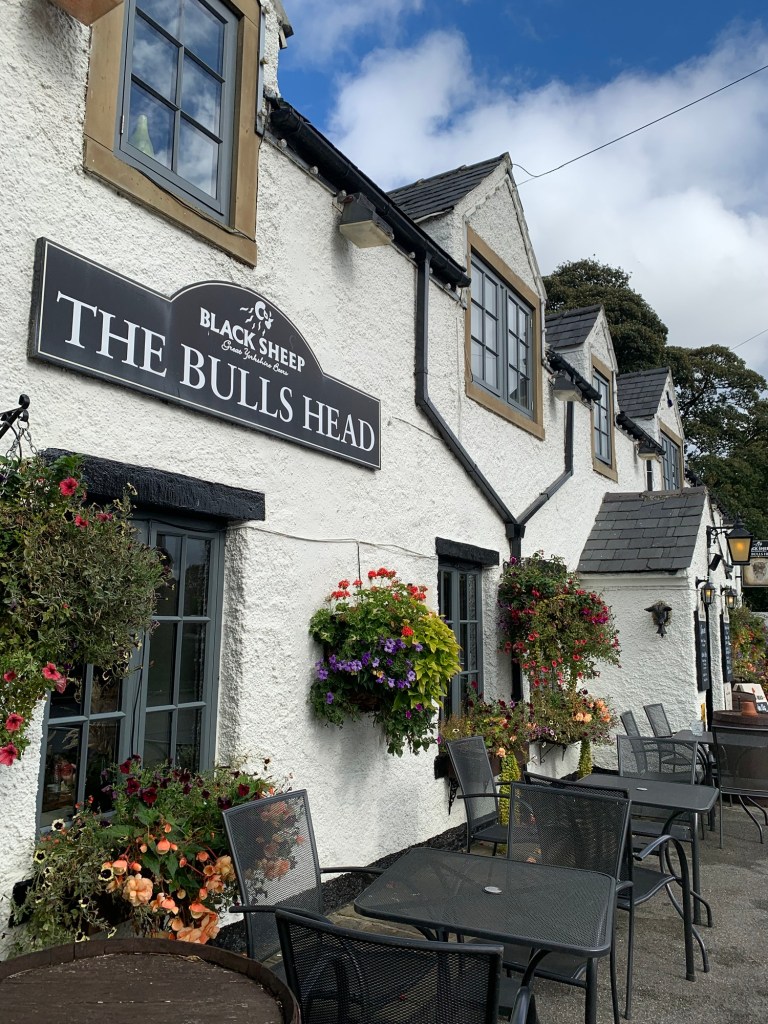
The Rambler’s Inn, Edale
Penny Pot Cafe Edale
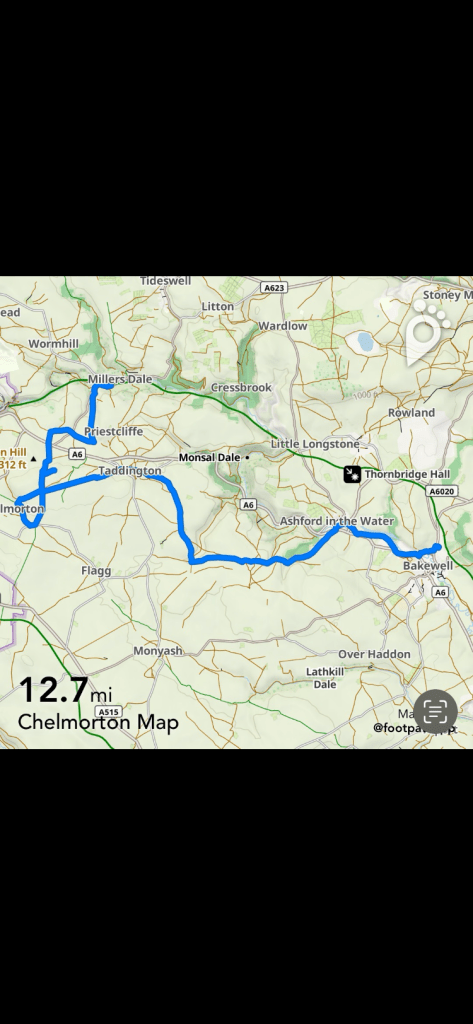
HOW FAR?
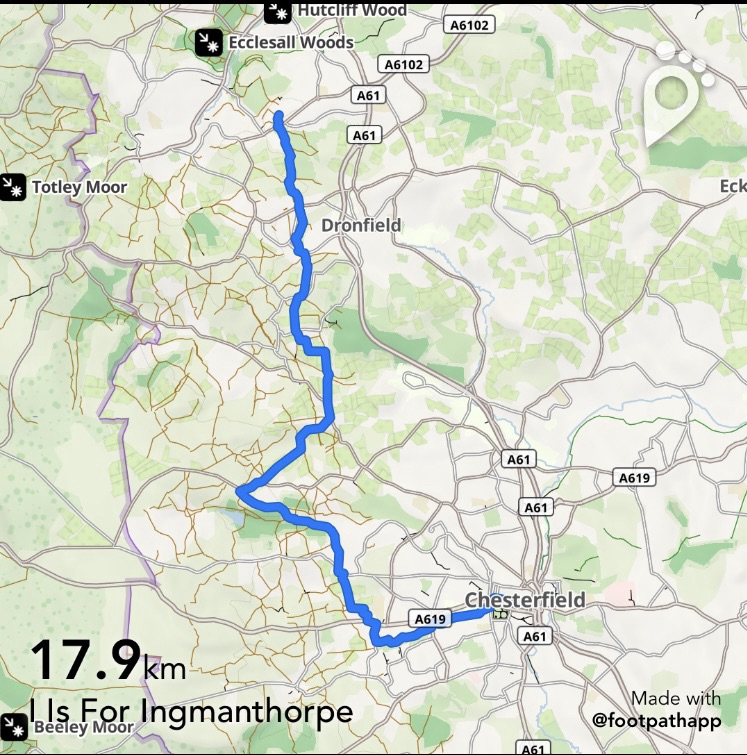
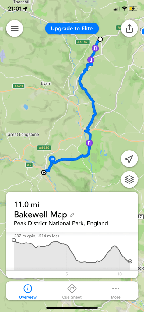
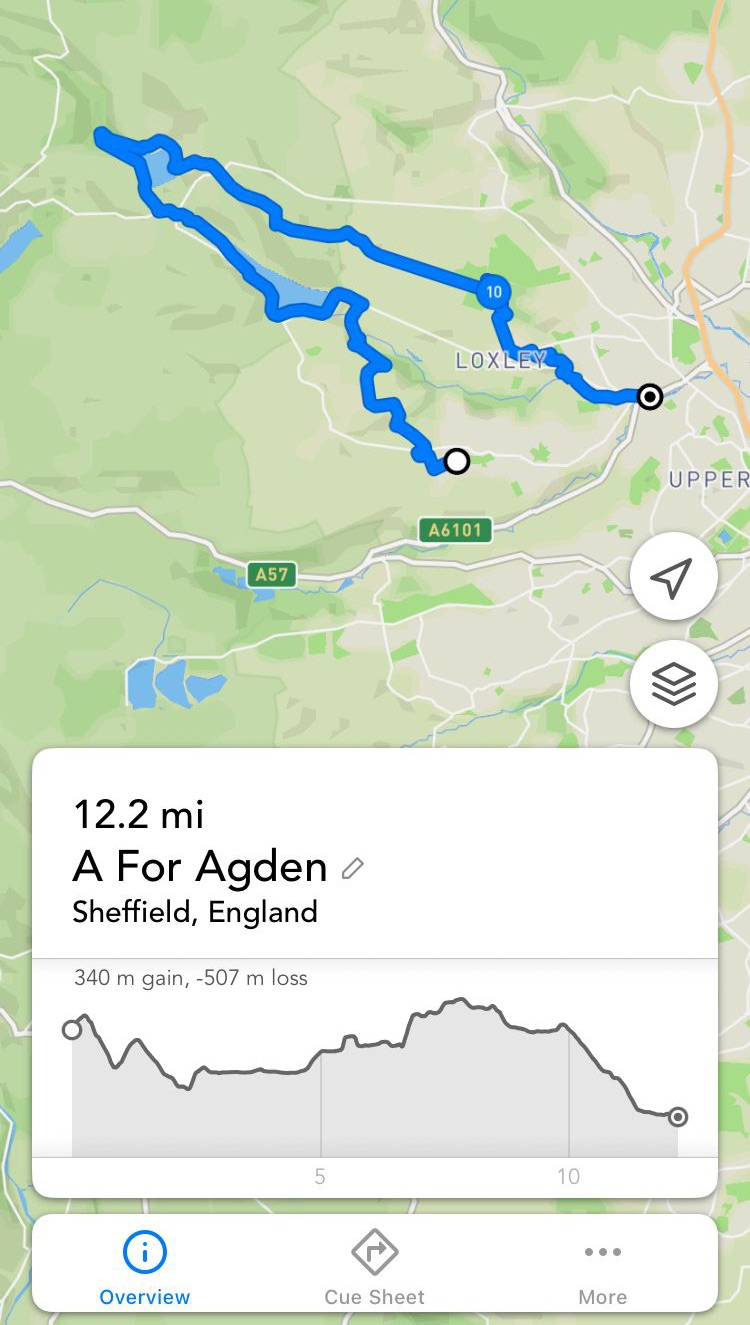
Around 22k not counting extension
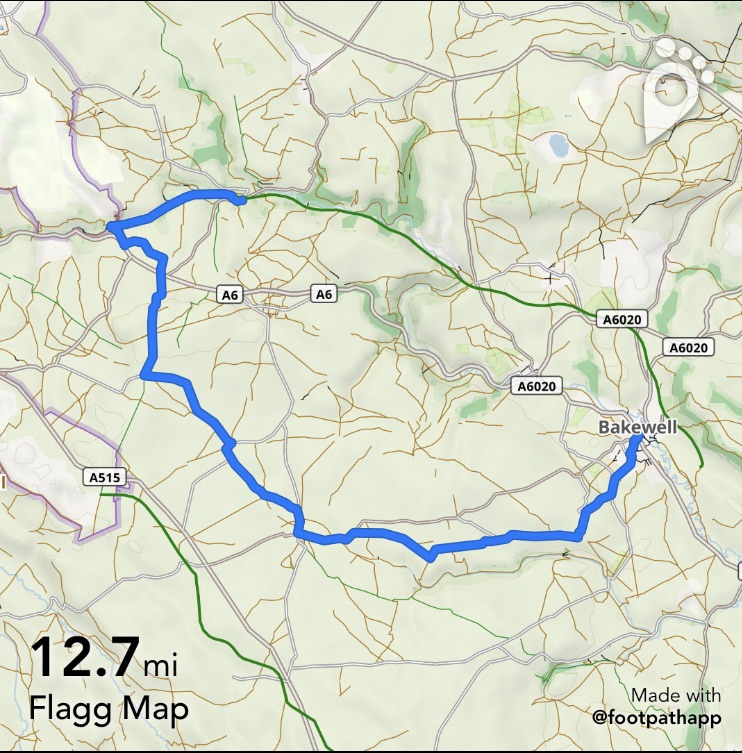
ROUTE SYNOPSIS
Edale station, Pennine Way route to top of Jacob’s Ladder, Brown Knoll, Chapel Gate path , Edale ( or extend from Chapel Gate path to include Rushup Edge, Mam Tor and Hollinscross, Castleton )
DOGS?
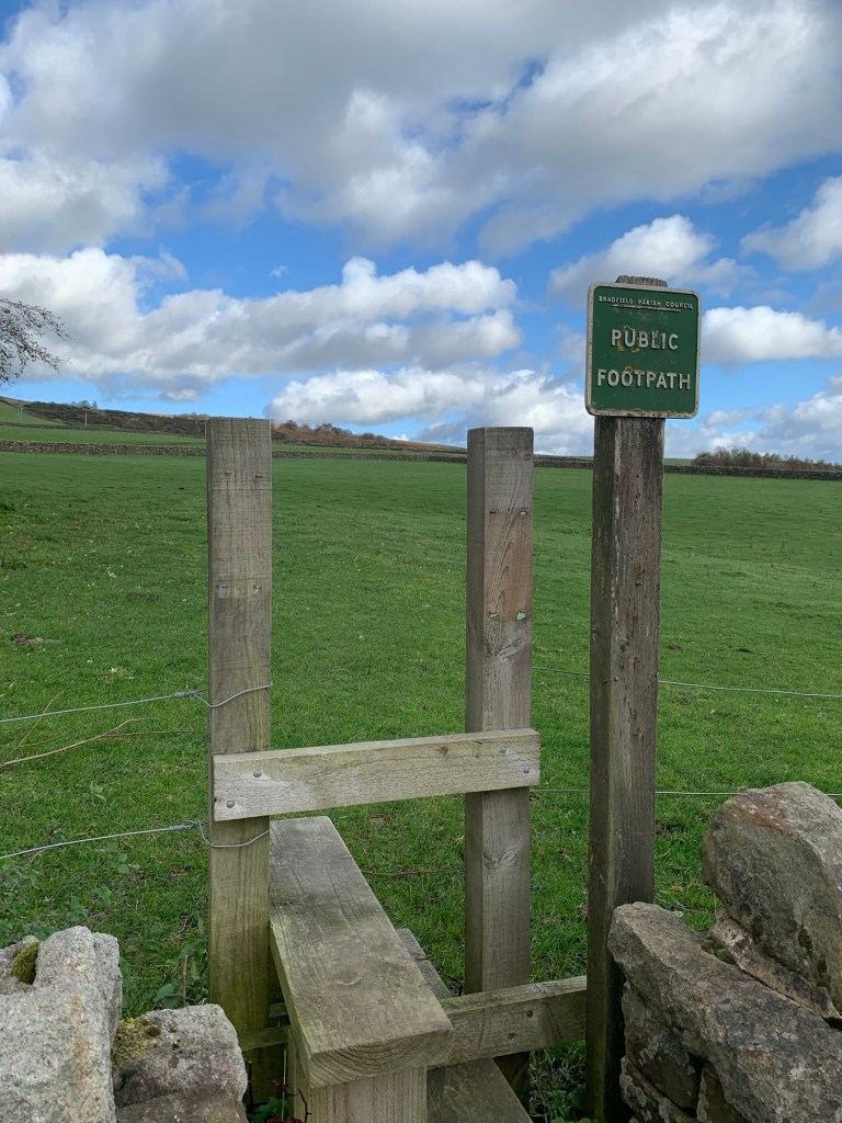
Mostly suitable, one or two stiles and fields with livestock.
MAP
Dark Peak OL 1
https://footpathapp.com/routes/E34E4481-E4B3-4129-9C8D-637F12903DB5?units=metric