So here we are at last, at the end of our alphabet walks. And if you thought the long absence of posts was due to our not being able to find a Z, then unfortunately you’d be wrong, it’s just that life got in the way for a while.
But now we’re back and our final walk of the series promises to be no less engaging than the previous offerings, remarkably also containing hardly any duplication with our previous walks, so read on for entertainment, inspiration or just to find out what Zeus is doing in the Peak District.
We begin by catching a 272 to the stop just past Fox House.
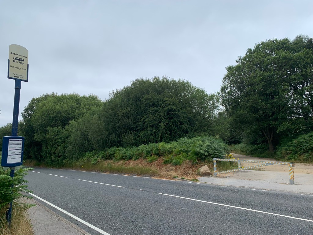
(It would also be possible to alight at Fox House itself which would open up the additional option of the 65 bus and a cheaper fare.)
We cross the road and are straight onto Green Drive, admittedly not very green these days since it’s benefited from resurfacing and improved accessibility in recent years.
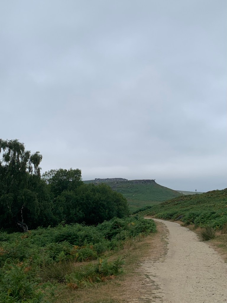
The pathway is somewhat of a classic hereabouts being a relatively easy way to get the feel of the Peak’s gritstone scenery but of course we couldn’t just be satisfied with walking along a well maintained path and enjoying the view…. Nope, because we’re looking for Zeus!
So we take the first small path off to our right through the bracken and whilst we don’t find any Greek gods lurking in the undergrowth we do come across an intriguing relic from the area’s industrial past.
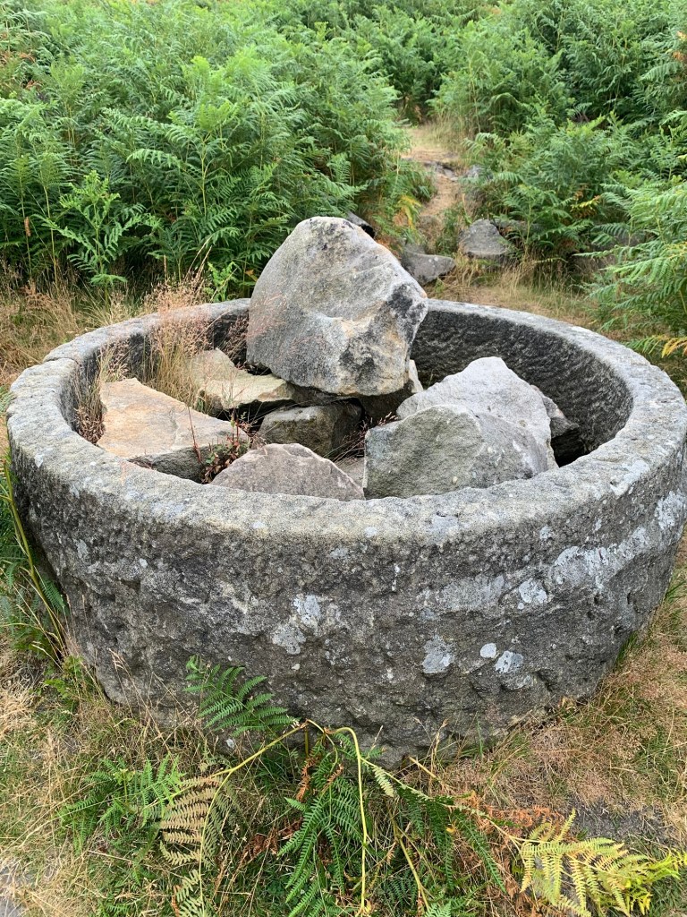
We think it’s possibly a water trough that was abandoned by the stoneworkers from Burbage South quarries, in a similar way to the more commonly seen discarded millstones, but we can’t see any obvious imperfections. We don’t really know what it is but it’s a really beautiful find to make, just a few minutes into our walk.
The path continues behind the trough but it’s more and more overgrown with bracken and pretty soon we can hardly see each other at all, a proper “Livingstone I presume,” moment!
It’s also a moment when we realise there are easier ways to reach Burbage South old quarries including a higher path we could have taken from just behind Fox House Pub.
Still, somehow or other, we eventually emerge onto this path and follow it to our left. We’re soon at the first old quarry, South Quarry, where there’s obvious evidence of a recent rockfall. It must have come down with quite a crash.
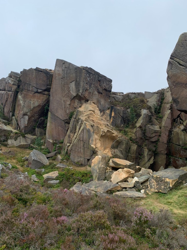
We continue along the path to North Quarry where we straight away spot some of the discarded millstones for which the area is famous and indeed, which are used as the National Park logo.
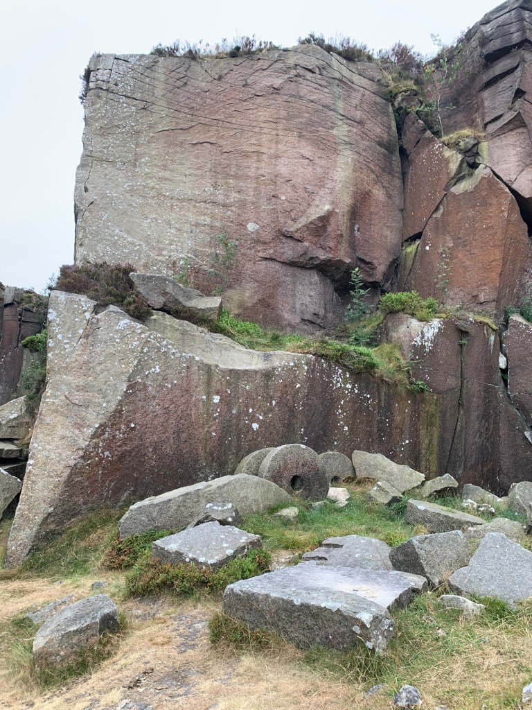
Of course the area is also famous for rock climbing; the Gritstone Edges of The Peak have been providing climbers of all abilities with plenty of challenges for well over a hundred years
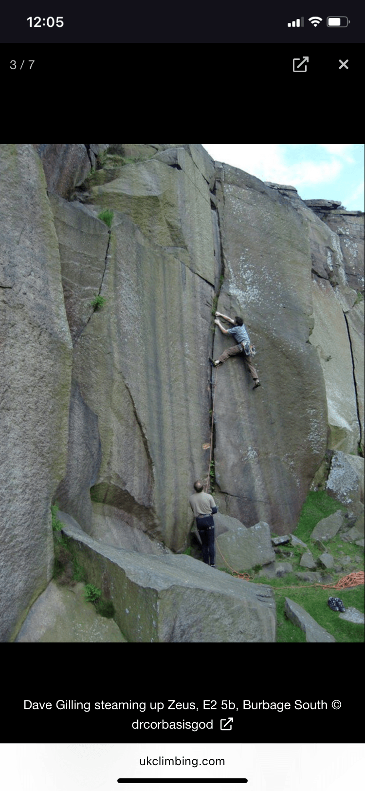
And it is in this section of Burbage South that we find Zeus, not the god himself, but a rock climb named Zeus by the Derbyshire climber Tom Proctor who did the first ascent way back in 1967.
For interesting and entertaining background information on Tom have a read here;
https://smhccg.org/rock-climbing/rock-climbing-at-stoney-middleton-in-the-1970s/
With regards to the climb itself the route heads up twin cracks on an otherwise very smooth looking wall and looks to have a complicated finish to top it off. At E2-5b ( extremely severe with extra difficult bits) it’s not an easy climb by any stretch of the imagination and to non climbers such as ourselves, it looks downright impossible.
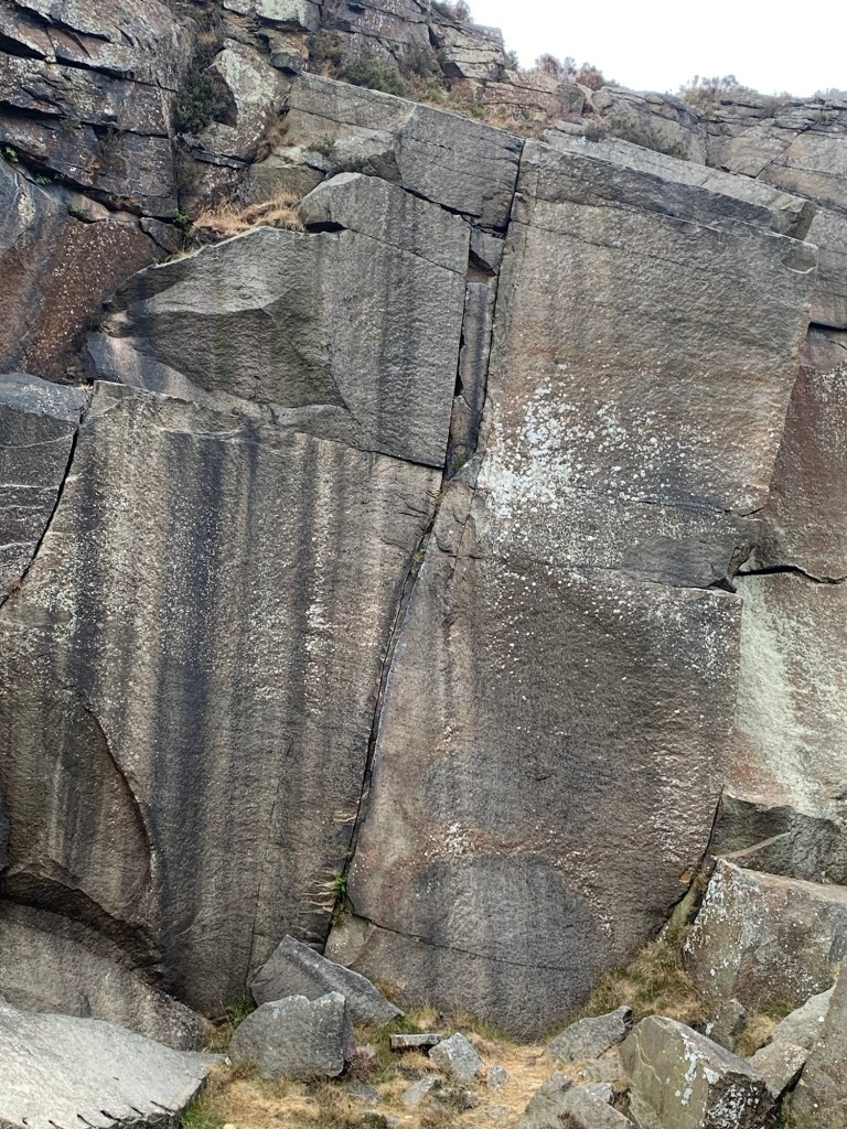
We’d have loved to have seen someone climbing the route but overall we’re just really glad it’s here as without it we’d frankly have been struggling for a Z.
But why Zeus, we have to ask?
Well apparently ( see above link) Tom Proctor was a quietly spoken and understated kind of guy although undoubtedly extremely strong, as you’d need to be for a climb such as Zeus, and the story goes that he named the climb Zeus as an ironic reference to his own quiet personality in contrast to the booming, thunderous character of the Greek god.
OK, so with our Z well and truly catered for, where will we head to now? First of all we are pleased to follow the path past the quarry which descends in a much better defined manner and with a lot less bracken, taking us back down onto the wide trackway of Green Drive.
Just before we emerge onto the track we pass a couple of massive boulders on our right which are peppered with small round holes. It’s obvious from the chalk marks that these are also frequented by the rock climbing fraternity for the purpose of “bouldering.” What’s less obvious is that the holes in the rocks are actually bullet holes left over from World War Two military target practice!
We head right along the main path and passing below the actual edge of Burbage Edge North we actually spot some climbers enjoying some of the easier routes that are to be found at this end of the valley.
As we approach the road bridge over Burbage Brook at the top end of Green Drive we should probably just add a quick historical note explaining the “Drive” bit of its name. The track was originally built around 1820 for the Duke of Rutland, who owned Longshaw Lodge and liked to drive his visitors out this way by carriage to go grouse shooting on the surrounding moors.
Crossing over the road bridge and briefly following the road we soon break off to the right along the path which takes us up onto the top of Stanedge Edge.
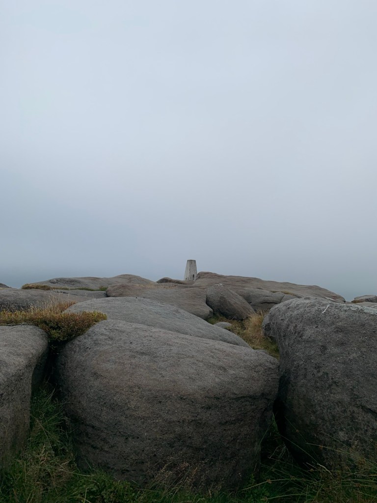
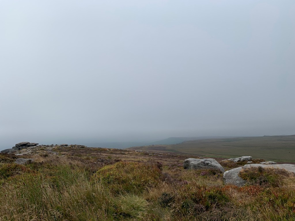
The weather is quite misty at this point but whatever we might lose in views we gain in atmosphere as we stroll along the top of the crags.
A little vigilance is required in order to spot the way down off the Edge as there’s no clear start to the path from above….. but once you’re on it, it’s obvious!
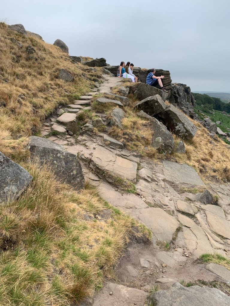
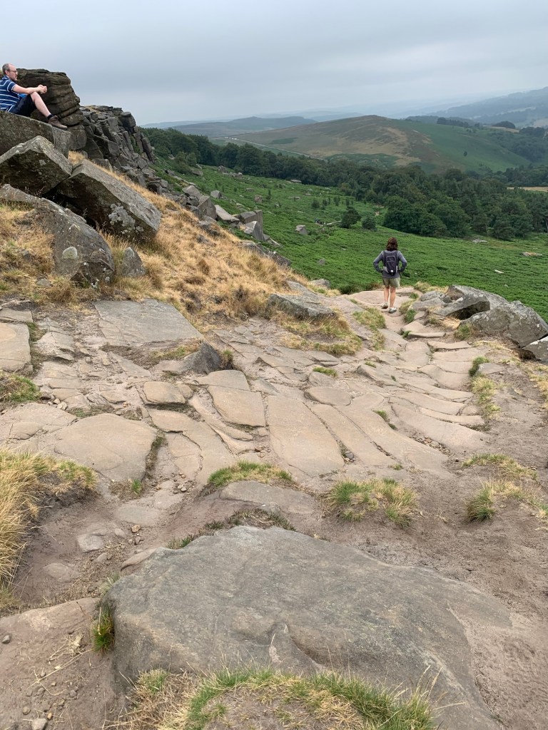
If you find you’ve joined the main path coming over from Stanedge Pole, and you’re heading down a broad track, retrace your steps because you’ve gone too far.
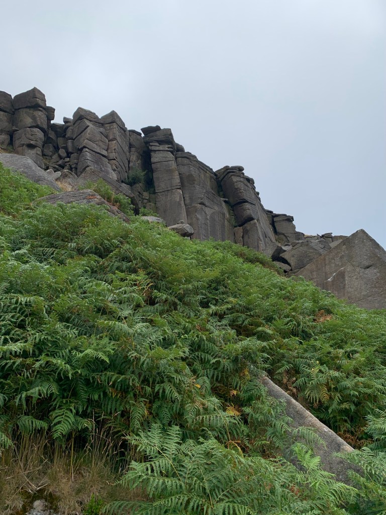
The path descends below Stanedge Edge ( with more views above our heads, of rock climbing interest) and through the Plantation where the path forks.
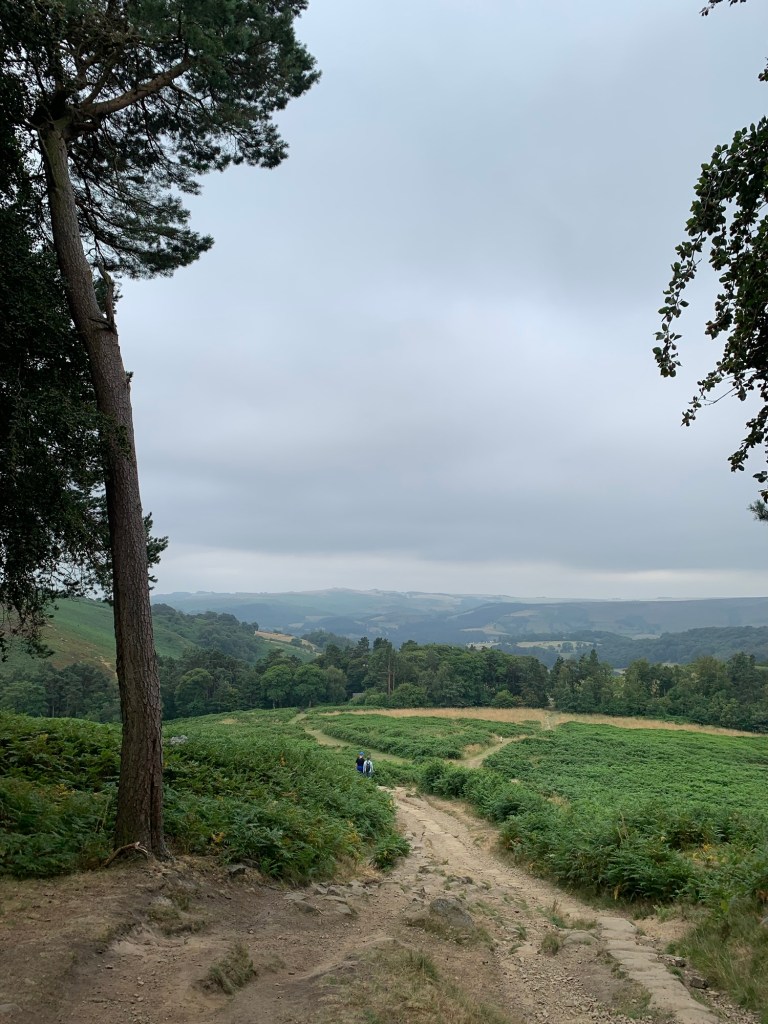
The right fork heads for the car park and our path continuing straight ahead takes us to the toilet block which also used to be a mountain rescue post.
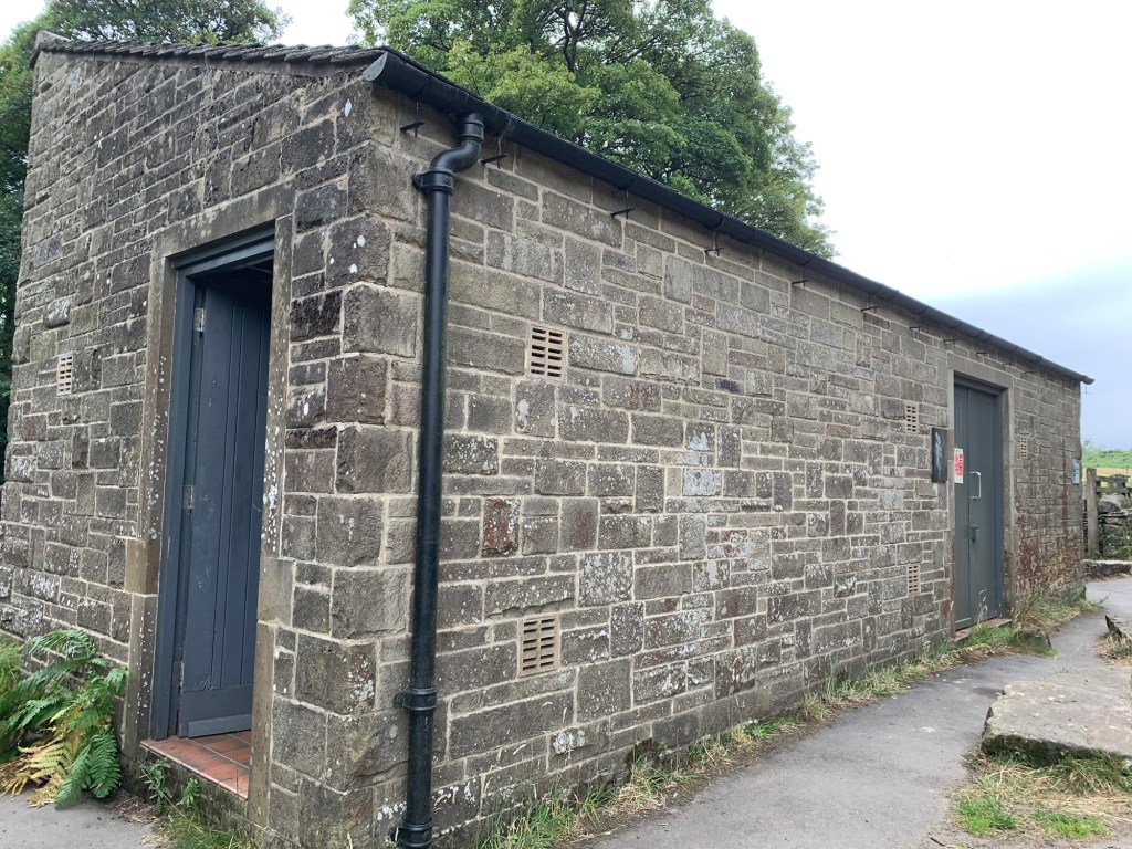
The footpath heads directly off from the side of the toilets and then branches right through some woods to a gate.
We have walked down here before on our N for North Lees walk but as soon as we are through the gate this time we branch right and follow a very pretty grassy path with some lovely views opening out below us down towards Hathersage.
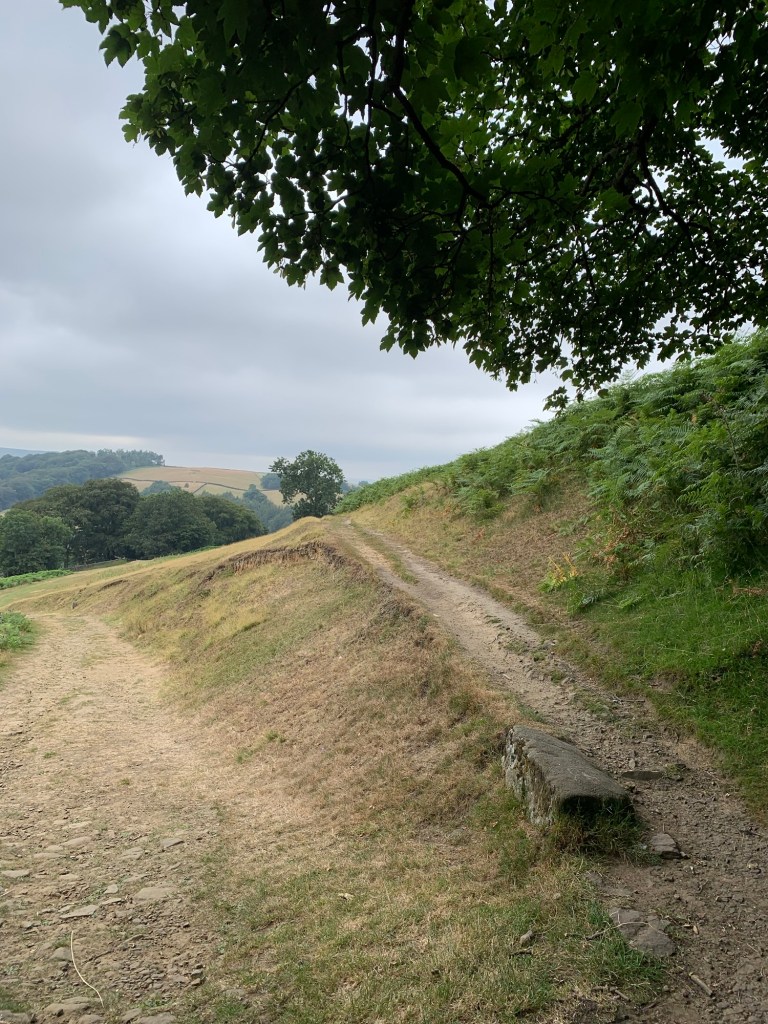
What we don’t see today is North Lees Hall; although we’re very close by, it’s remarkably hidden by the trees growing around it.
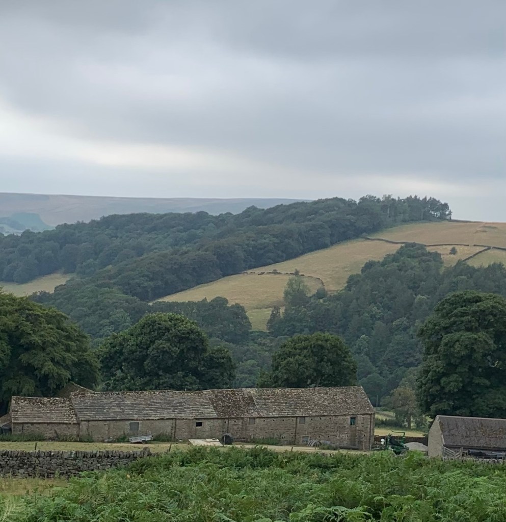
Below us are some outbuildings and a barn which happens to be a rare example of a cruck barn which is also very rarely open to the public on certain English Heritage open days. You really can’t tell that there’s anything special about it from where we are ( although I have been inside it once and it was quite impressive.)
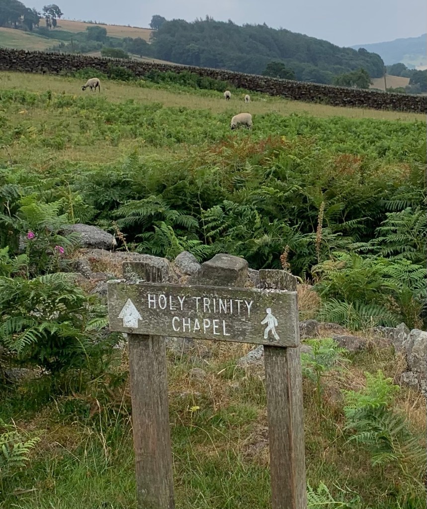
However what we do soon see, further to our left, is the ruins of the Holy Trinity Chapel and following a convenient sign we head across the field to give it an inspection.
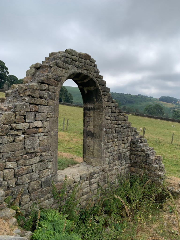
Apparently there’s a bit of controversy about the age of the chapel which was built next to a well ( no water to be seen today but that’s hardly surprising as we’ve not had rain for weeks)
Some sources say it was built in 1685 for the Catholic worship of the Eyre family from North Lees Hall, only to be destroyed a few years later by “vengeful” Protestants in the Glorious Revolution. Others believe that the building could be much older having been built for previous Catholic inhabitants of the Hall around 1590.
One thing is certain; there’s very little of it left today, but the arch way is beautifully shaped and it does have a nice feel about it.
Back onto the path we’re soon descending to a gate and then crossing the stepping stones over Hood Brook.
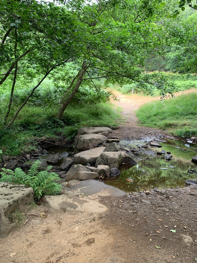
Once up the opposite bank we’re straight into another interesting ruin, this time there’s a post with a QR code to tell us all about it.
We climb up a steep bank at the side of what is clearly an overgrown dam wall and hey presto there’s a lovely little old mill pond.
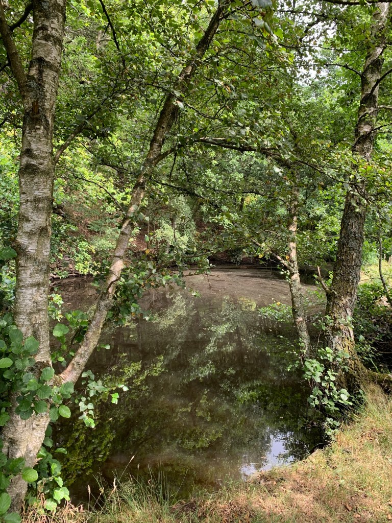
We are on the site of Greens Paper Mill which was active in the 18th century making brown paper for packaging the needles and pins which were the mainstay of Hathersage’s economy at that time.
The mill ( which was later demolished and has now completely disappeared ) goes back even further though as it was originally used for lead smelting.
We walk along the side of the mill pond and drop back down onto the path at the end.
Following the path uphill to the right we pass through a gate and soon find ourselves at Greens House, currently an artist’s studio, and the few other buildings comprising what’s left of the ancient township of Outseats.
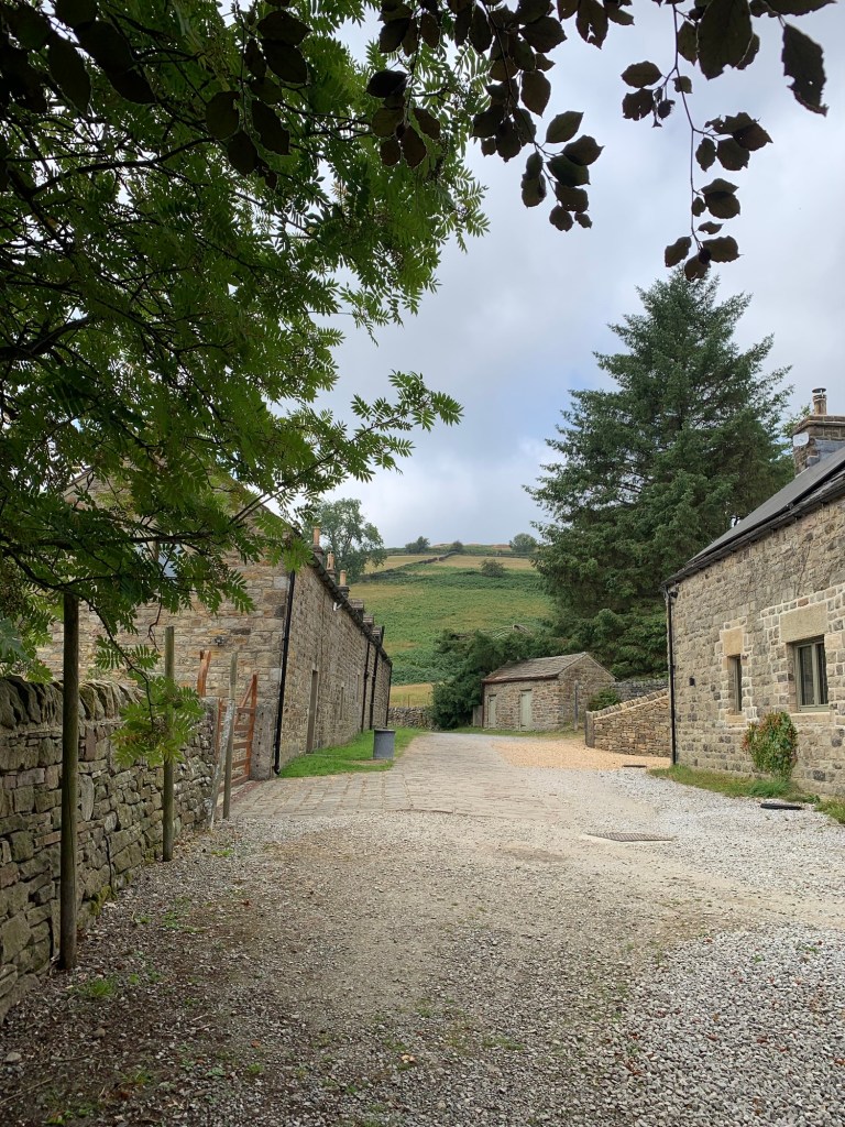
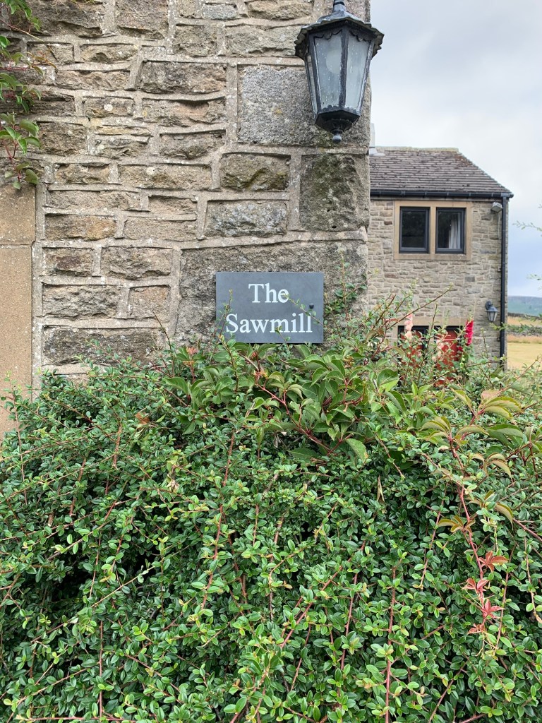
The track becomes a lane and shortly emerges onto Coggers Lane at the Old Sawmill, now another residential property.
Our footpath is directly across the road.
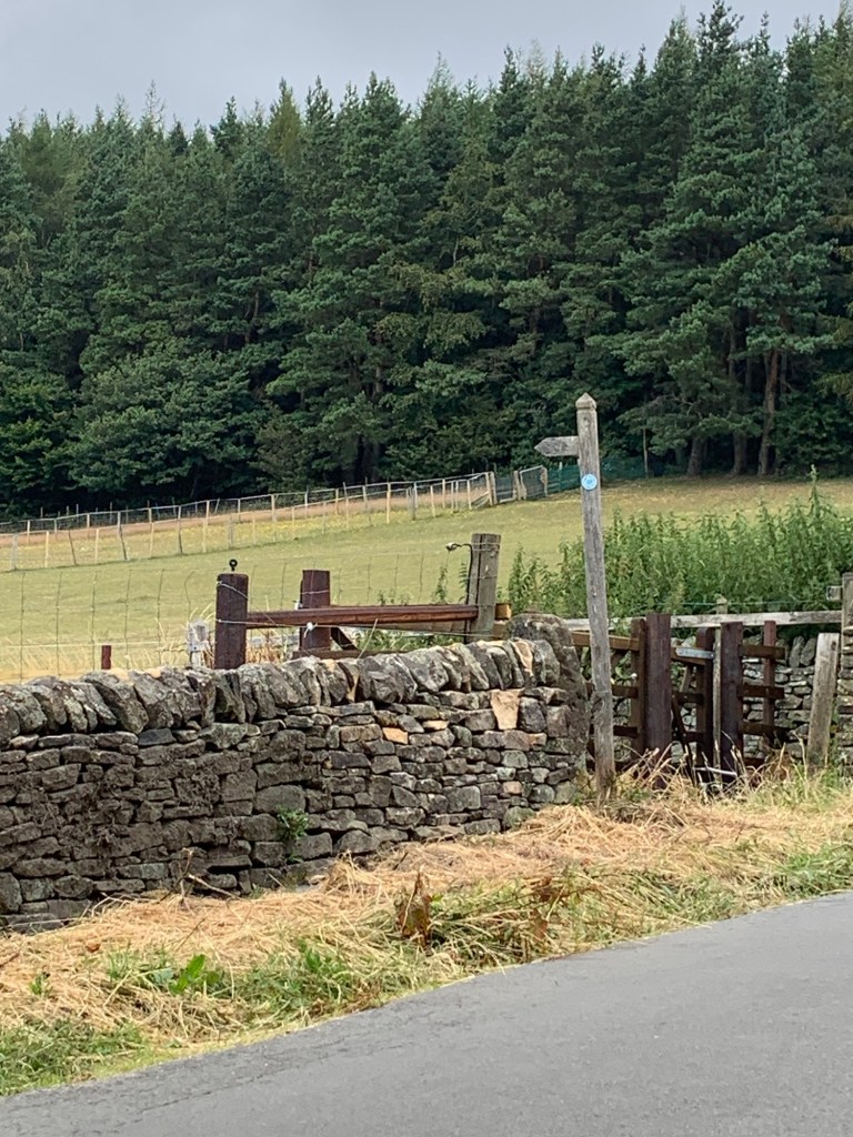
We cross a field diagonally and then continue to skirt other isolated dwellings via a well marked path and a few stiles and next we’re emerging onto Hurstclough Lane a back lane which we follow to the right, towards Bamford.
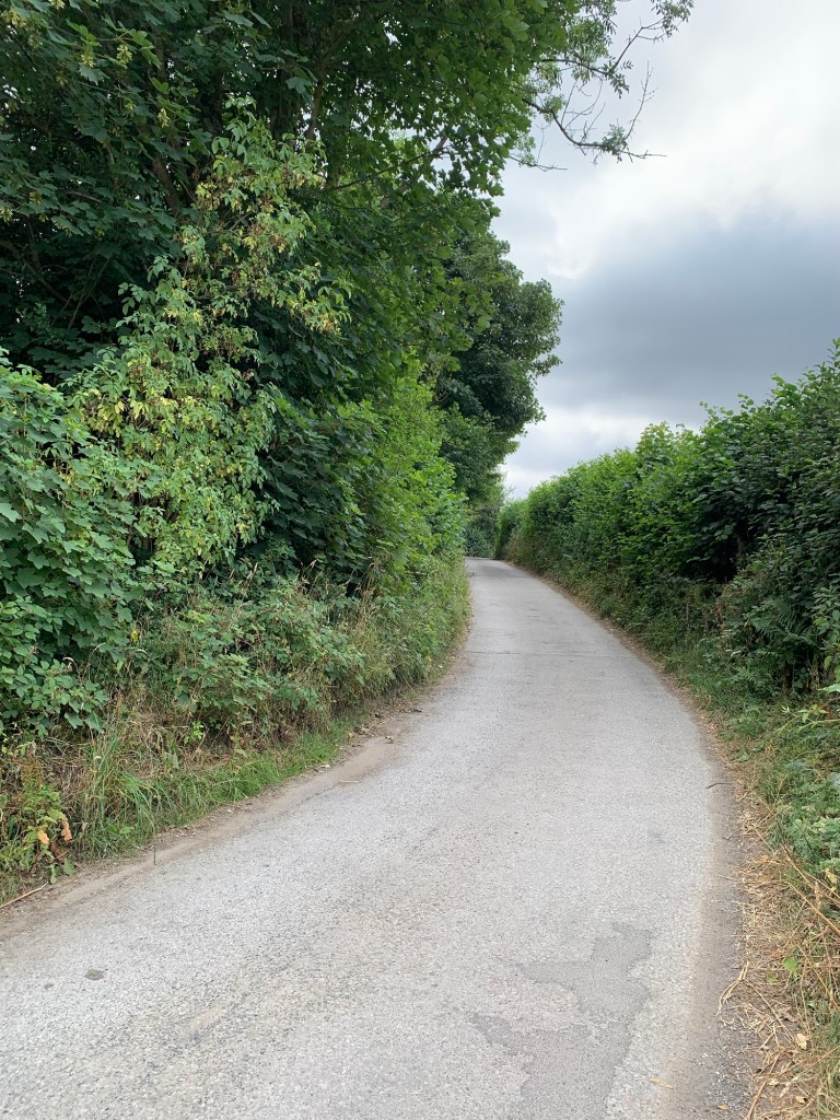
Eventually as we approach the village, this becomes Joan Lane and when we get to a minor crossroads we keep straight on passing the school on our left and arriving at the community cafe, pub and post office on our right.
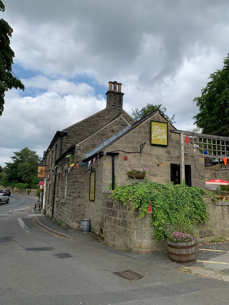
As always The Anglers Rest serves us very well for our refreshment and a chance to rest our legs.
On exiting the cafe we find a ginnel beside the school displaying four colourful panels depicting the story of Bamford and the Upper Derwent. It’s a reproduction of a lovely piece of community art and apparently it’s possible to see the original inside the Bamford Institute whenever the building is open. What a great idea!
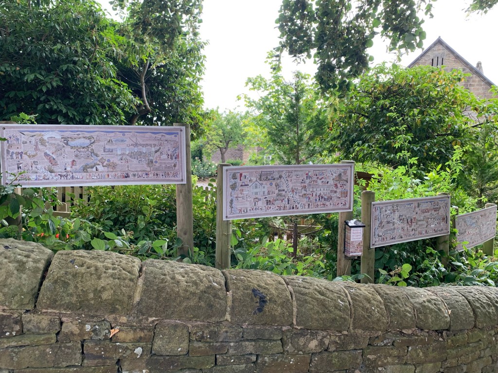
At the bottom of the ginnel we cross the road and head downhill looking for a gate post with a sign on it saying “Narrow track access only. “
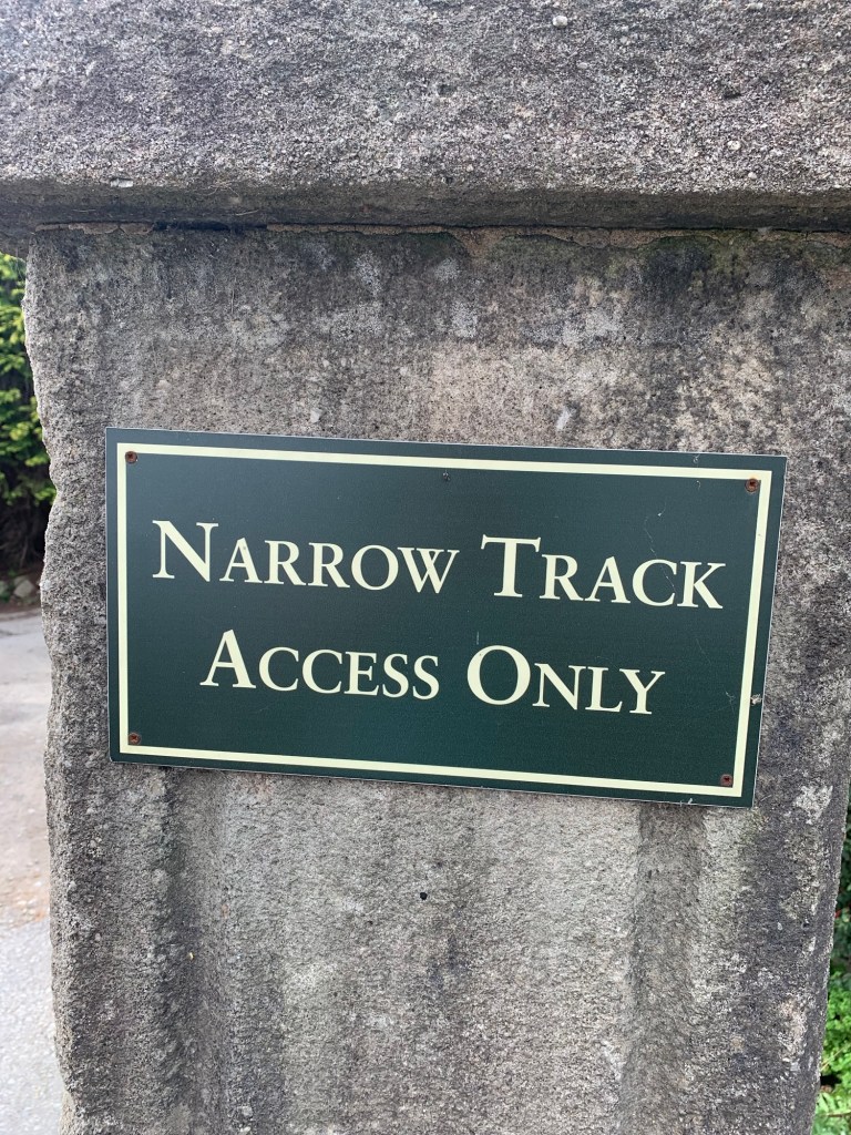
Turning down here we head along a pretty lane to Bamford’s old mill. Now converted into apartment accommodation the mill was originally a cotton spinning mill and was still producing cotton reels into the 1960s. It is still possible to see some of the original machinery which has been preserved inside the mill building through a window ( but it’s a private housing development so discretion is definitely required!)
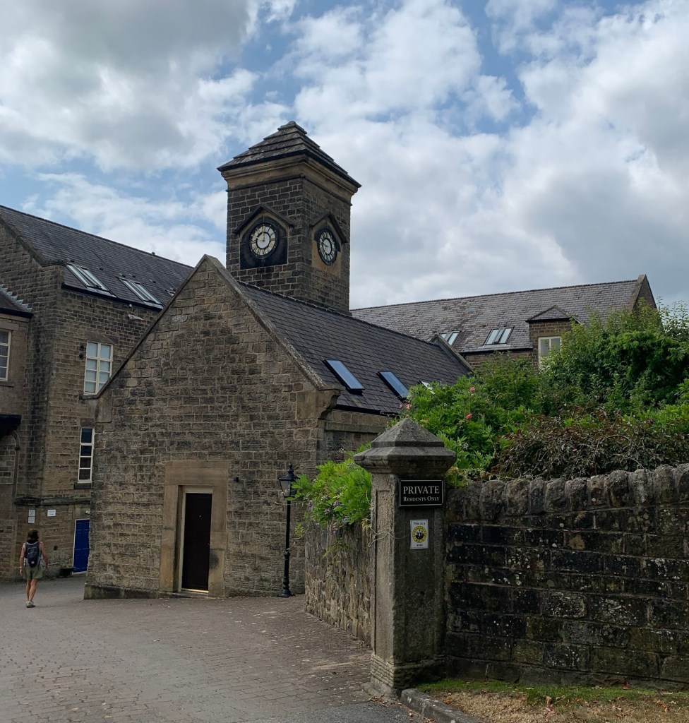
The public footpath which is well signed takes us around the back of the mill building and over the river Derwent.
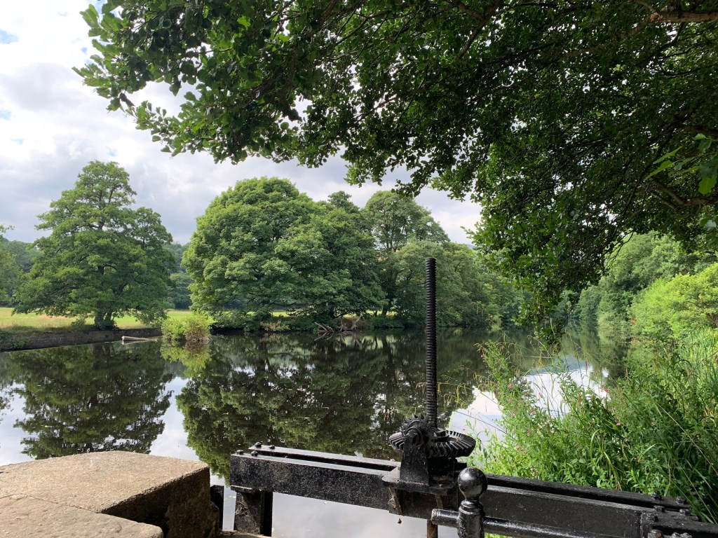
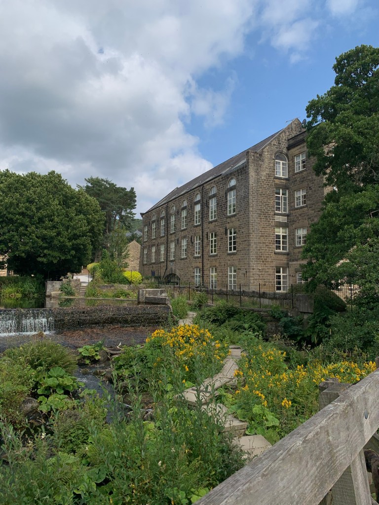
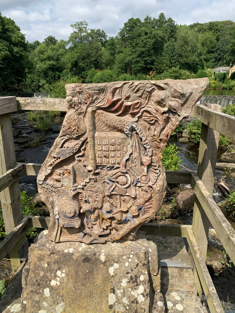
The footpath on the other side of the river leads us across fields with views over to Win Hill and onto the disused railway track which leads down from Derwent dams to Bamford Recreation Ground.
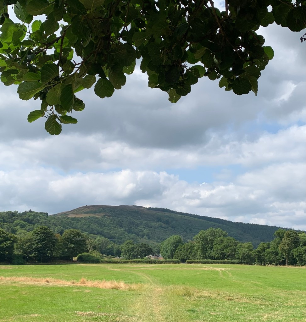
We turn left along here and are reminded of when we slithered along this same track covered in sheet ice earlier in the year when we were walking O for Odin….
which incidentally, just goes to show how much our alphabet walks are influenced by the gods of ancient civilisations!
It’s a whole lot easier walking along the Thornhill Trail today and we’re very soon at the end of it. We turn left and then very shortly right ( opposite the old Water Board building now used by the Bamford Quaker community)
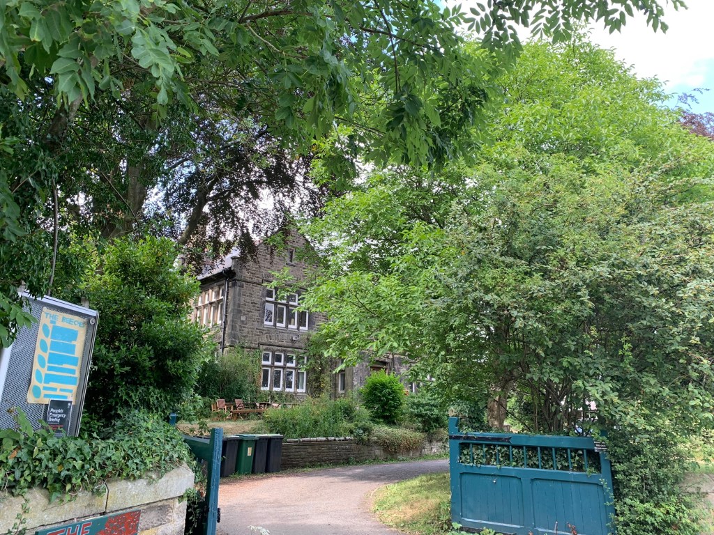
along the footpath which runs by the side of the garden centre and takes us out onto the main road.
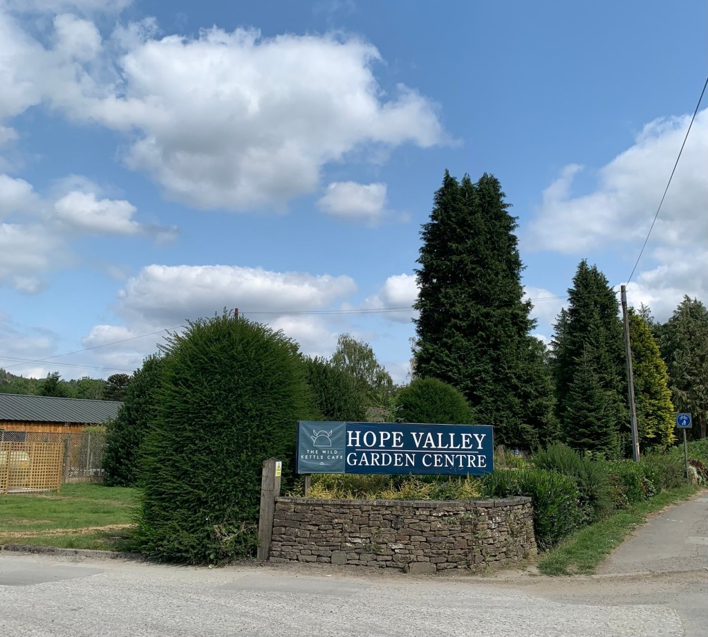
Here we make a sensible check of transport times following which we head for Bamford station and home.
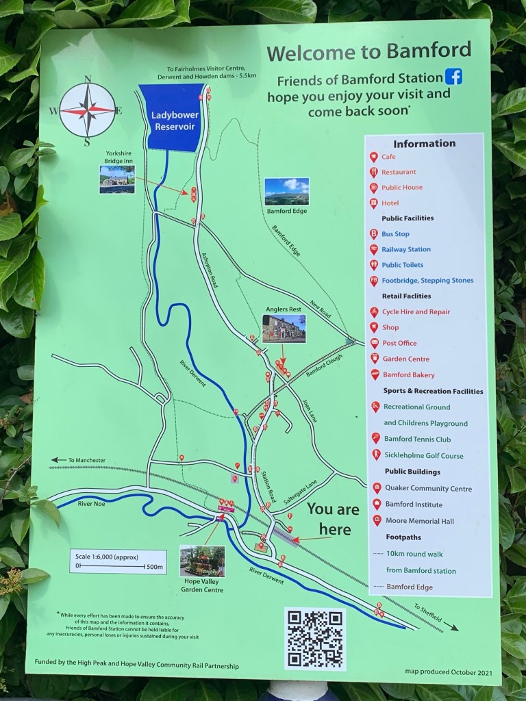
Alternatively we could have caught the 272 or the 257 from the Bamford turn around…. or we could have extended the walk on either side of the Hope Valley to Hope or Castleton.
As it is we’ve thoroughly enjoyed the varied nature of our first walk in a while and the last walk of the alphabet and we’re happy to head for home.
Last letter of the alphabet it might be, but it’s not going to be the end of our blogging! Oh no, we’ve got the next plan already lined up so we’ll look forward to seeing you next week for the inauguration of our A to Z of Peakland Pub Walks….. watch this space.
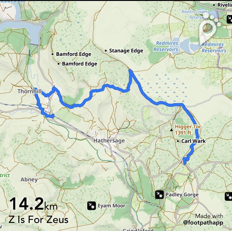
https://footpathapp.com/routes/6E070AFB-86BE-4058-848D-3E161BD16379?units=metric
Transport
272 or 65 to Fox House ( or Green Drive)
Hope valley train to Sheffield from Bamford ( or Hope)
257 from Bamford to Sheffield
272 from Bamford ( or Hope or Castleton) to Sheffield
Pubs/Cafes
Anglers Rest community pub and cafe Bamford
Hope Valley Garden Centre cafe:
The Wild Kettle
How far?
Around 20k
Route Synopsis
Green Drive, Stanedge, Greens Houses, Bamford ( possible to extend to Hope or Castleton)
Dogs?
OK but avoid the bracken ascent to the quarry and keep them on a lead throughout because of the sheep.
Map
OS Dark Peak
 Peak Walks A to Z
Leave a comment